Today was a nice, easy day hiking up to the peak of Waterman Mountain, about 7 miles round trip. The Waterman Mountain trail is a beautiful trail with fragrant Jeffrey Pines and some really great rock formations. We did a loop that took us back on a fire road and through the Waterman Mountain Ski Resort which added a little extra mileage to the day. The trail to the peak is very nicely graded. I could hardly tell I was gaining elevation as I was hiking. There is one steep push up to the top, but that’s over in the blink of an eye and you arrive at the summit. The mountaintop is wide and heavily forested, so you won’t get the 360 degree views like you do on other bare topped mountains, but I think all the fun rock climbing opportunities you get at the top kind of make up for that. We spent a good while up there just climbing around. On the way back, we took the fire road which lead us through the Waterman Mountain Ski Resort. We checked out the snow plows eagerly awaiting the first snowfall, chatted with the caretaker and asked him some questions about the resort, then headed back down. I think if I did this hike again I’d go back on the Waterman Mountain trail that we came up on. While I did enjoy visiting the ski area, fire roads are not my favorite and I’d rather be hiking on a trail as opposed to a wide road. That said, it was a beautiful day and a lovely hike. We drove back on the 2 through the Angeles Forest and had a late breakfast at DISH in La Canada. I recommend the seasonal pumpkin pancakes, a DISH bloody mary and of course, a hot cup of coffee! My favorite!
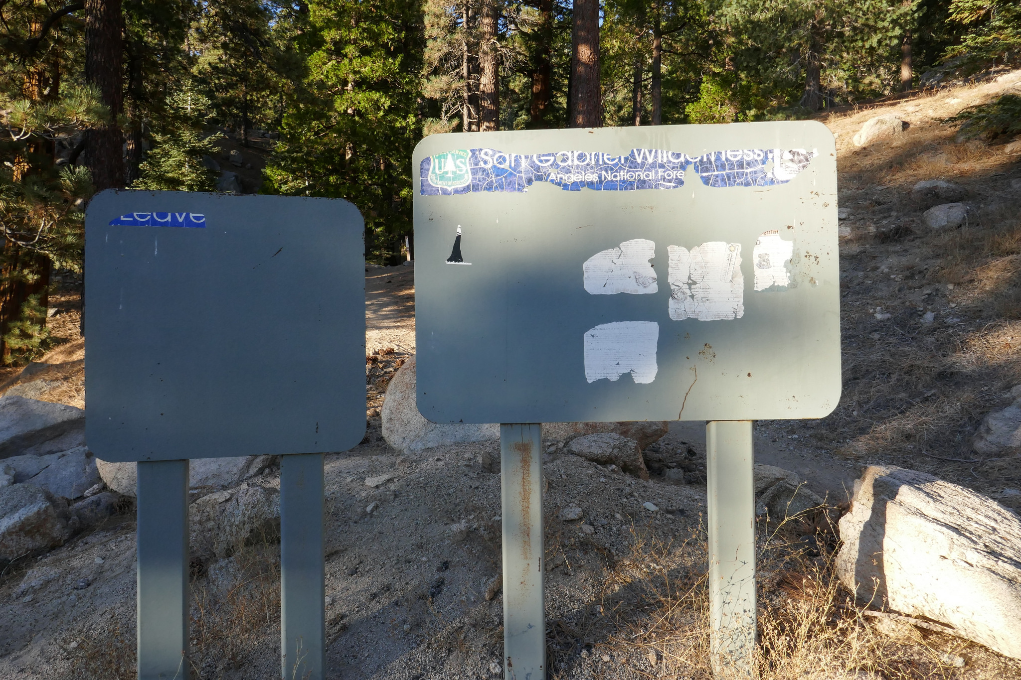

The trailhead is across the street from the parking turnout. Look for mile marker 58.02 and this wilderness sign

Starting out.

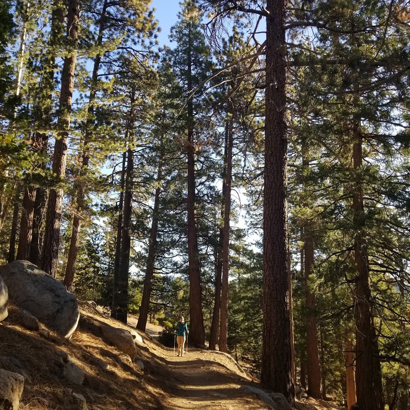
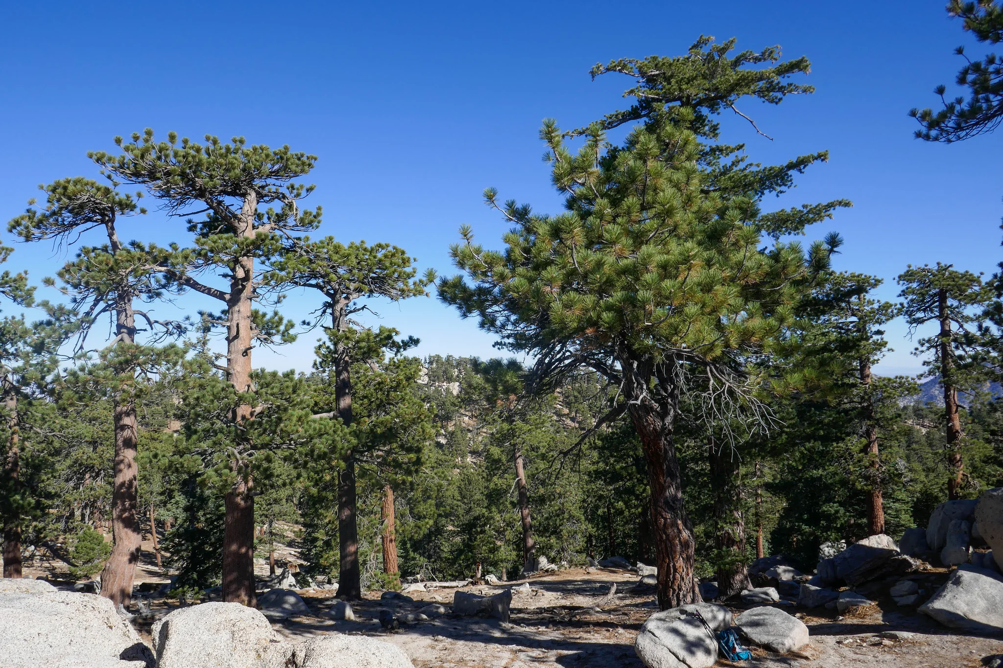
The Waterman Mountain trail is a beautiful stretch of trail. It's shaded and full of fragrant Jeffrey pines.

Views.

There are lots of interesting rock formations along the way.

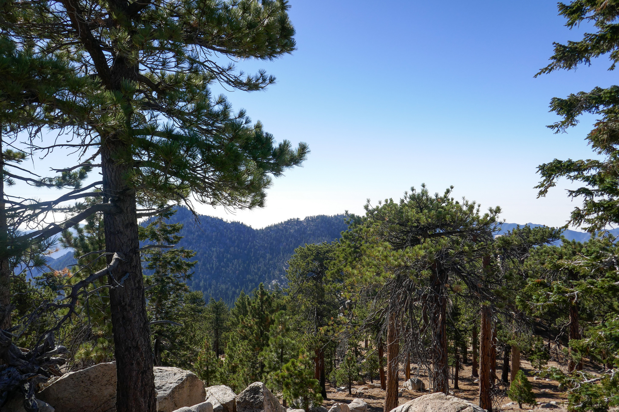
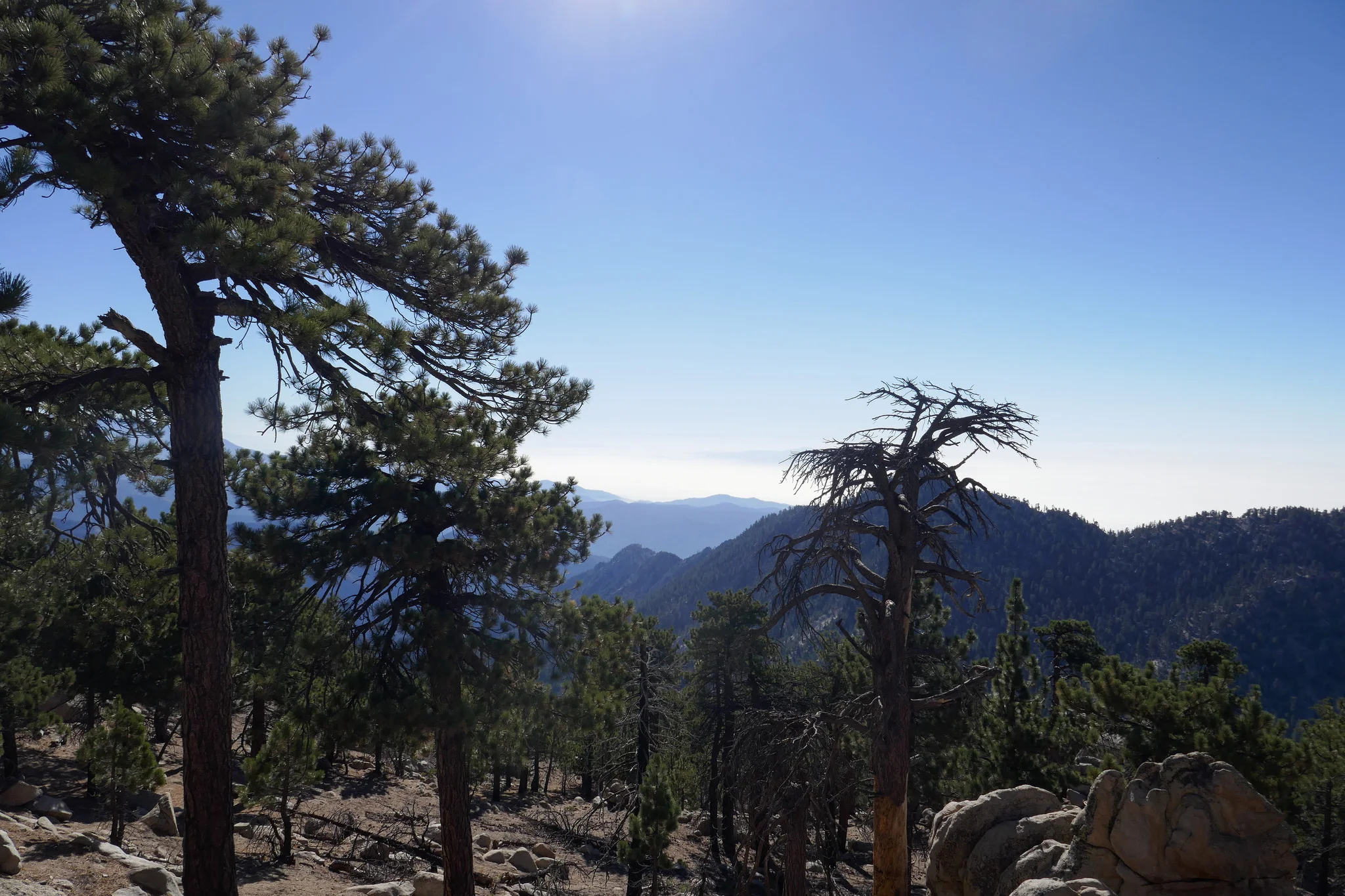
Looking out at the San Gabriel Wilderness.

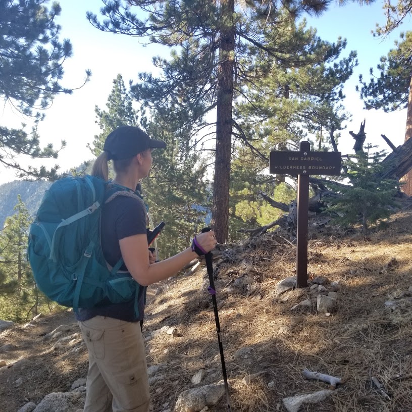
Sign for the San Gabriel Wilderness boundary. You'll see several of these along the journey.
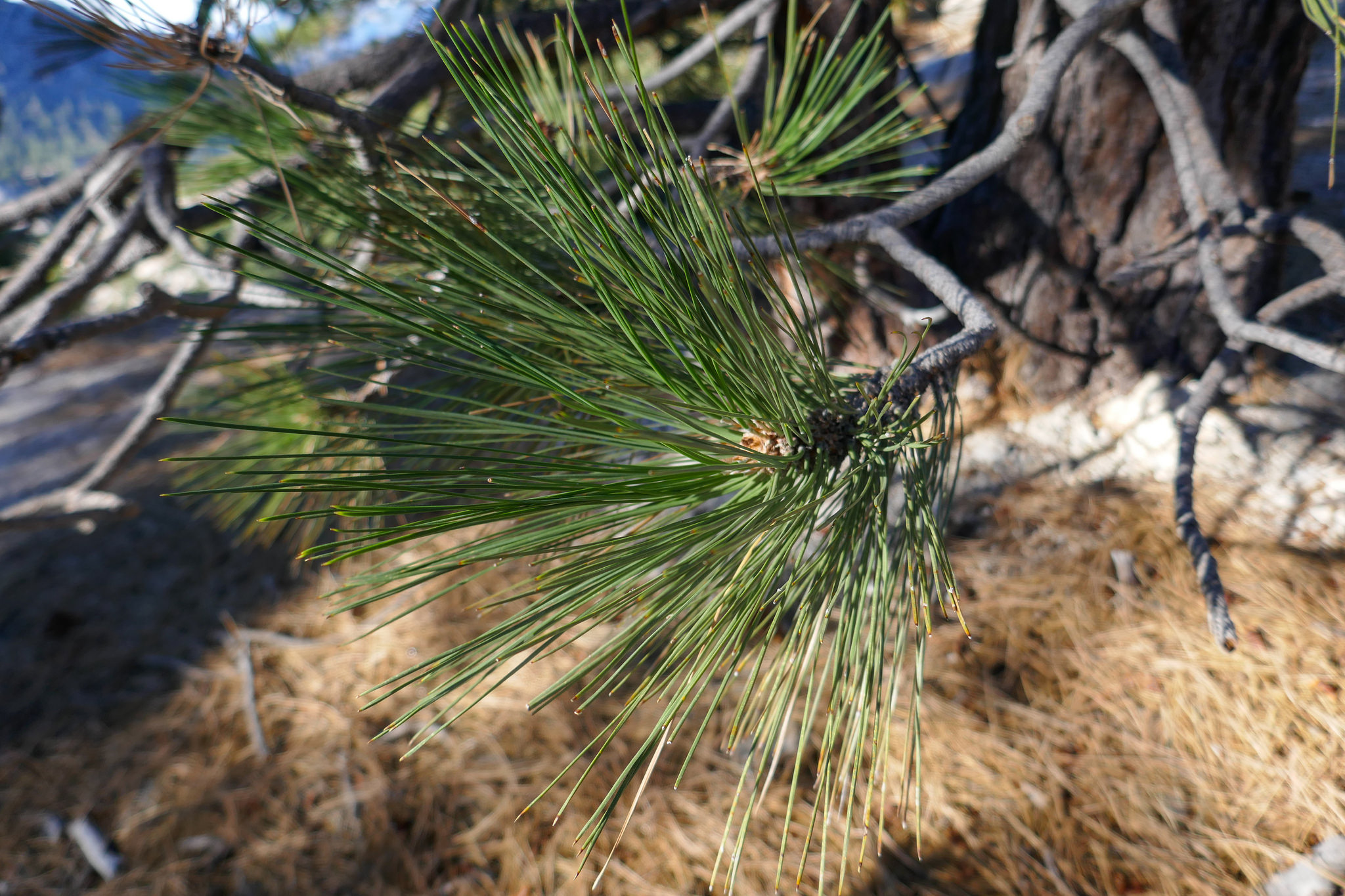
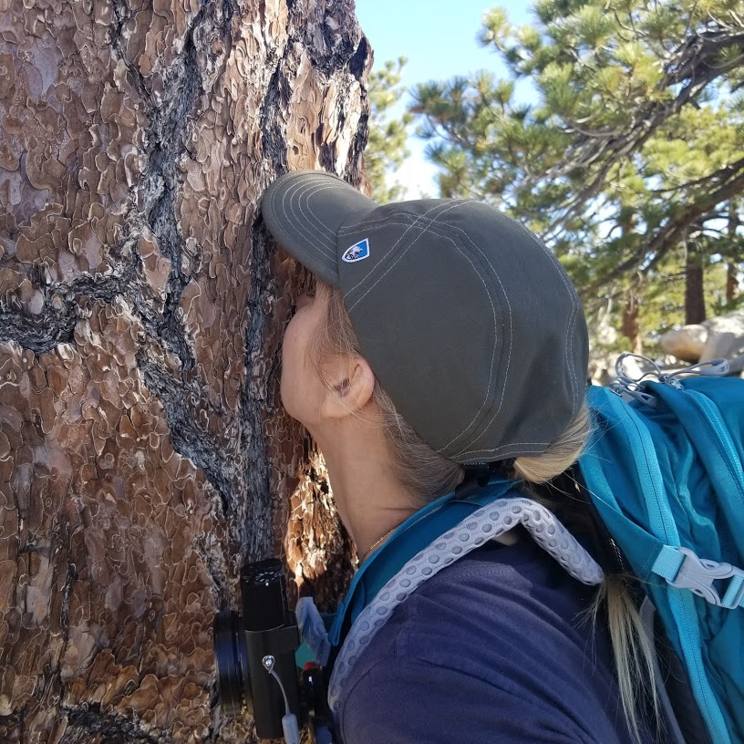
Delisious pine.

Sign leading up to the peak.


We were headed up to where those rocks are straight ahead.

Closer view of the summit.

Final push to the top.
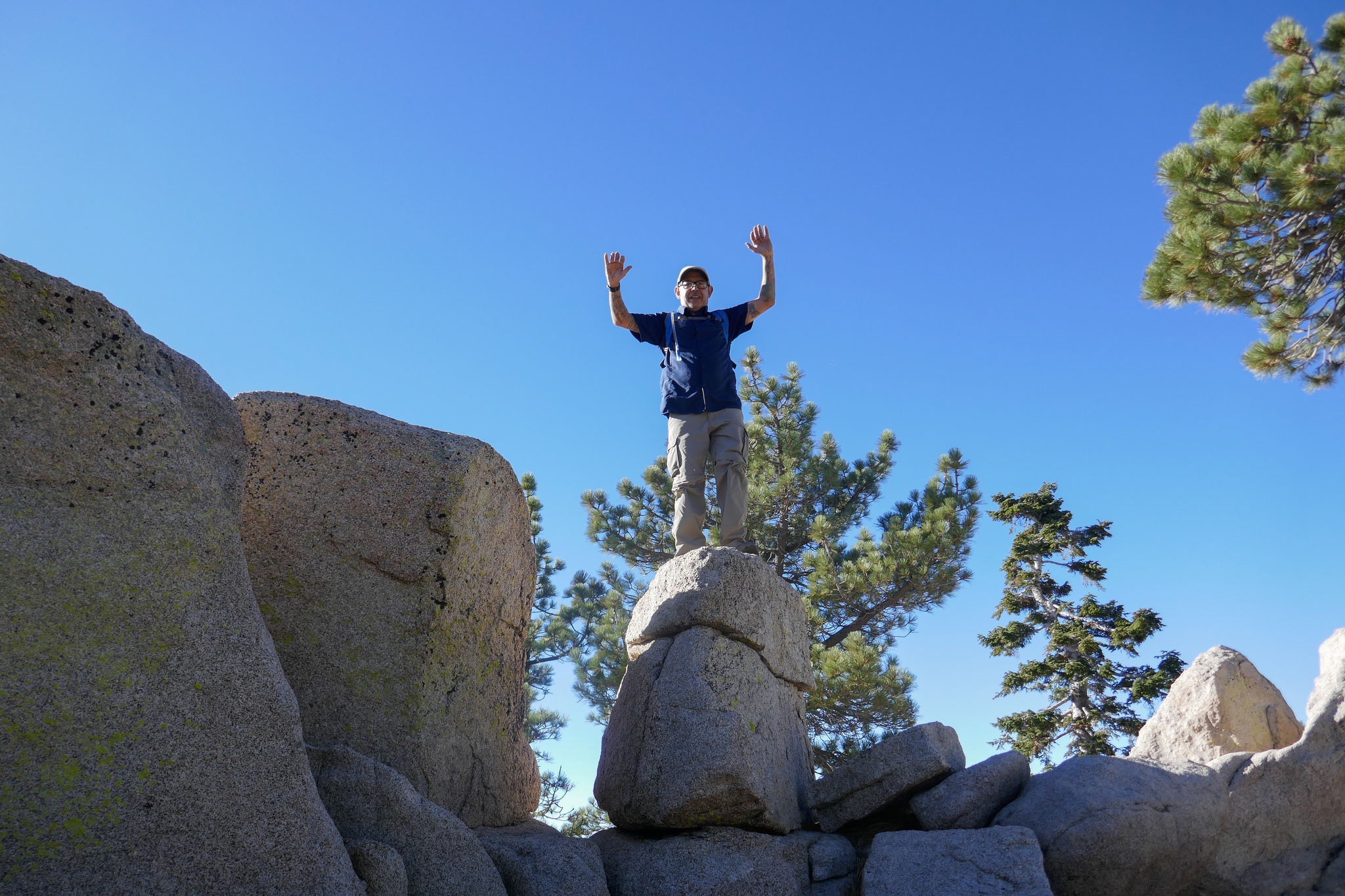
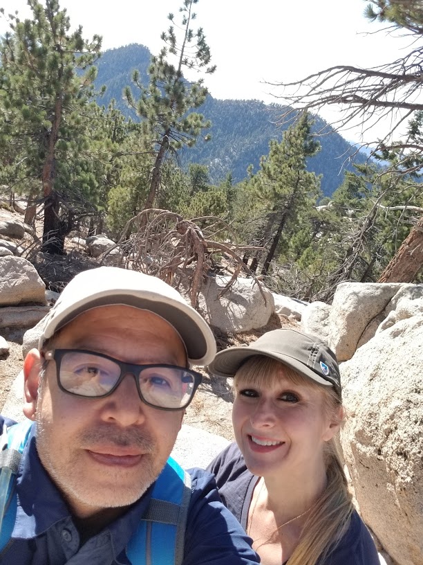
Summit! The geo tag is on the taller rock next to the one my husband is standing on.

I love seeing these!

Always good to check your new GPS watch to check your stats.


We followed the fire road back down so we could go though the ski resort.


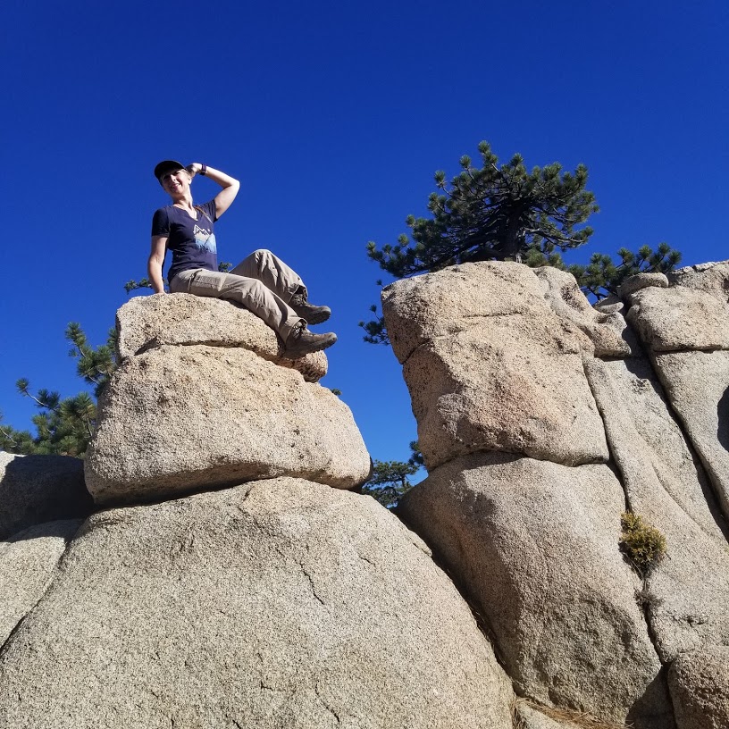
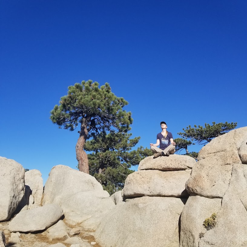
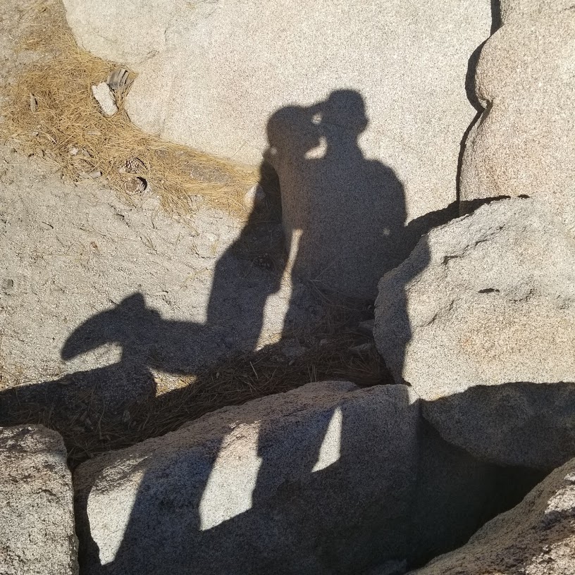
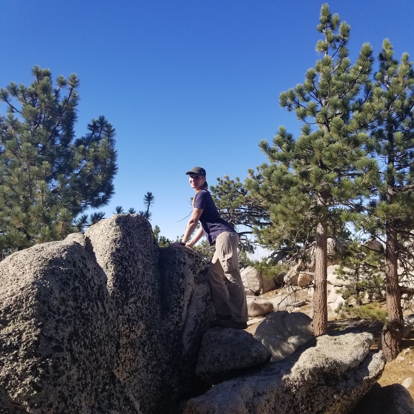
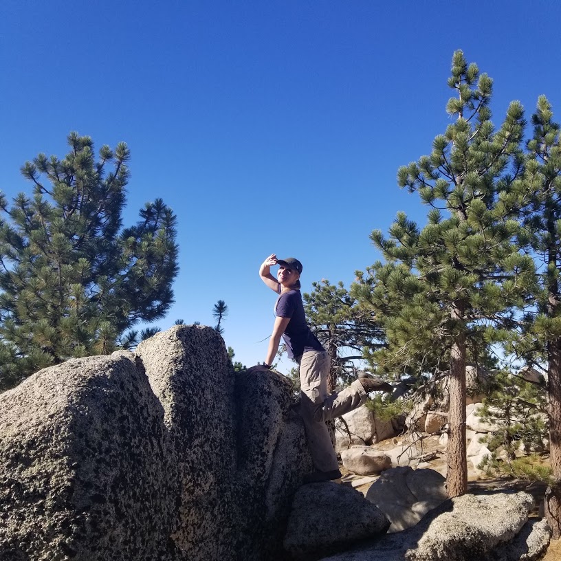
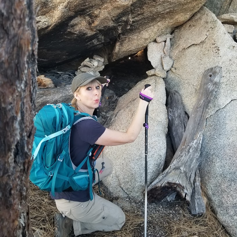
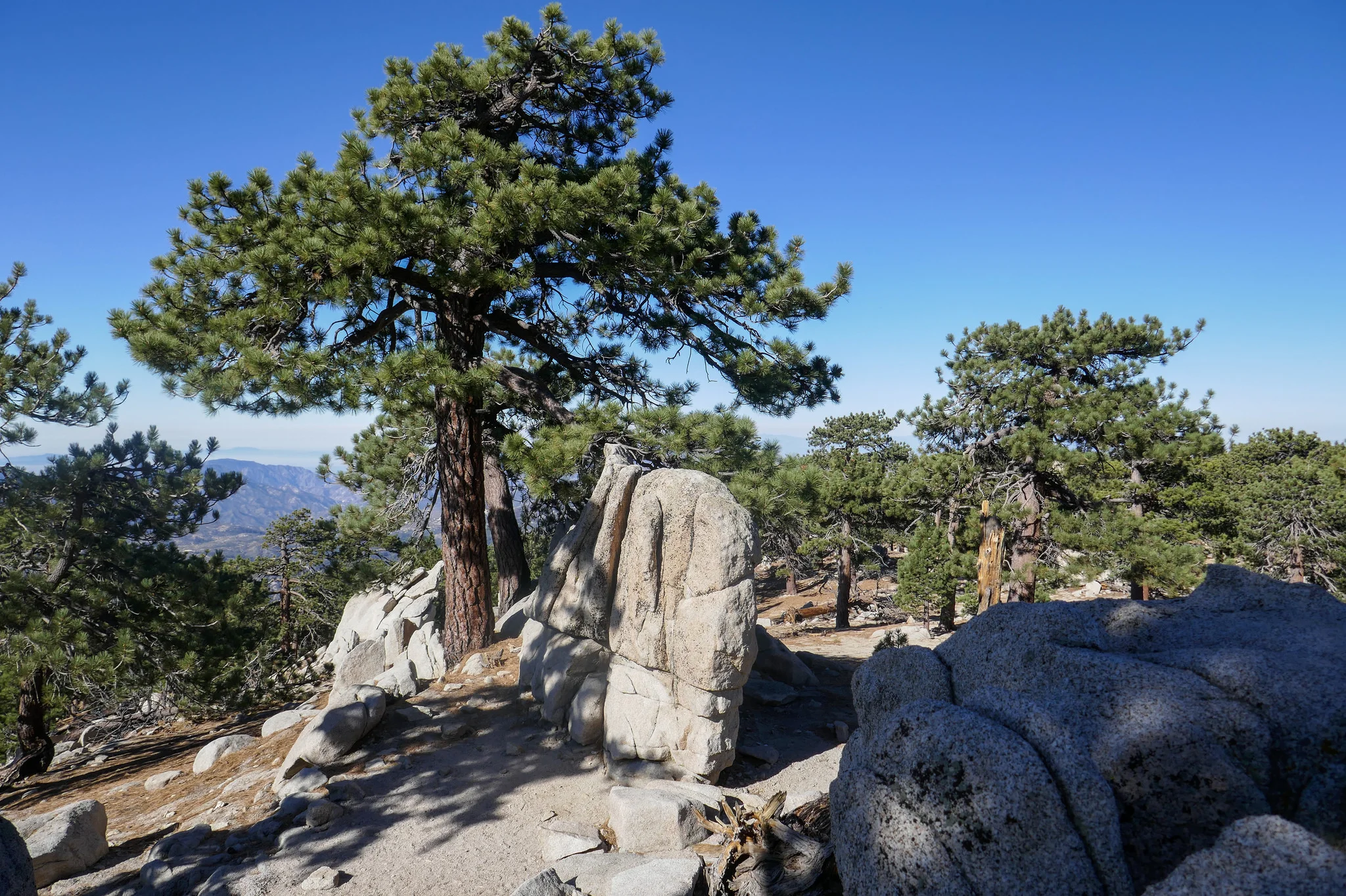
Really great looking rocks to climb and inspect.


Views of the Mojave from the fire road on the way down.

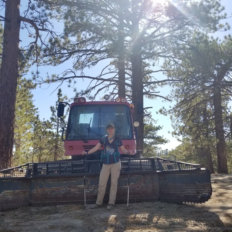
At the ski resort. They have mountain biking up here in the summer.


Hope to see this place with snow someday!