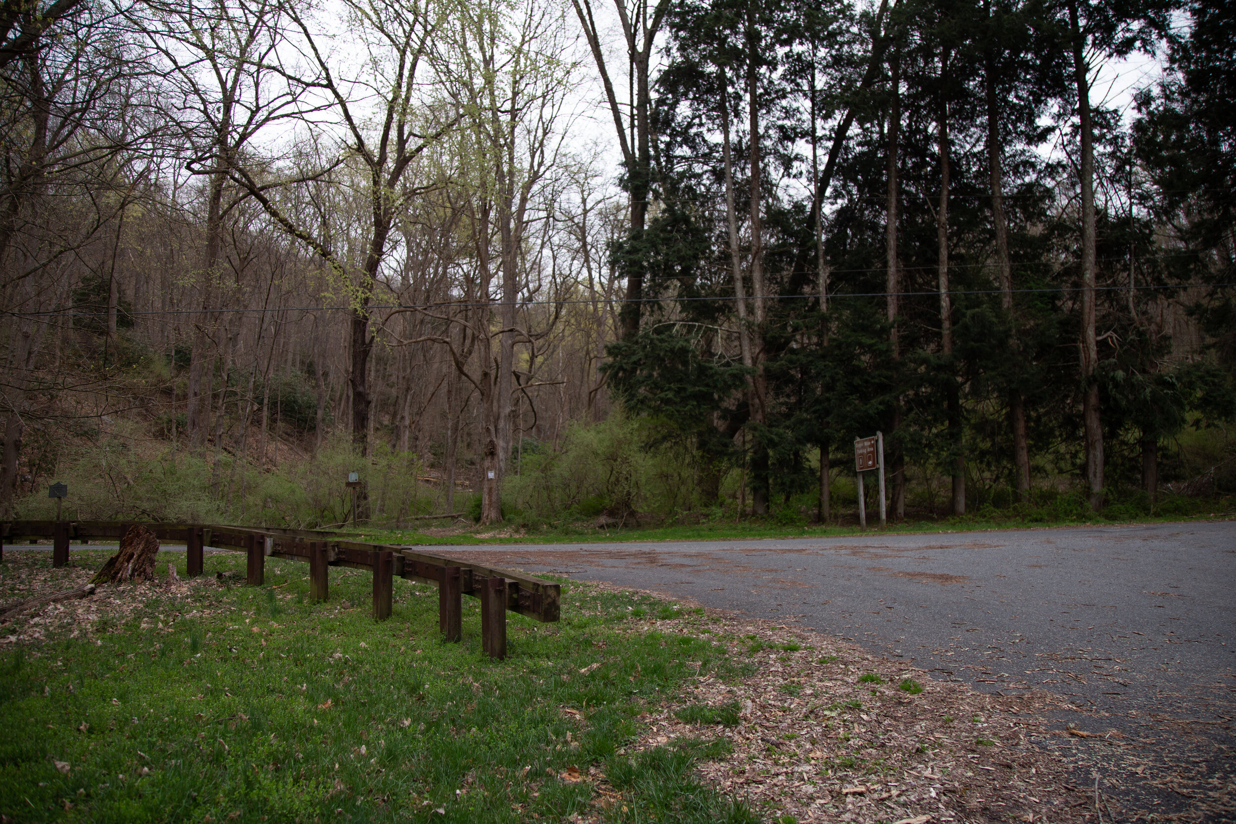
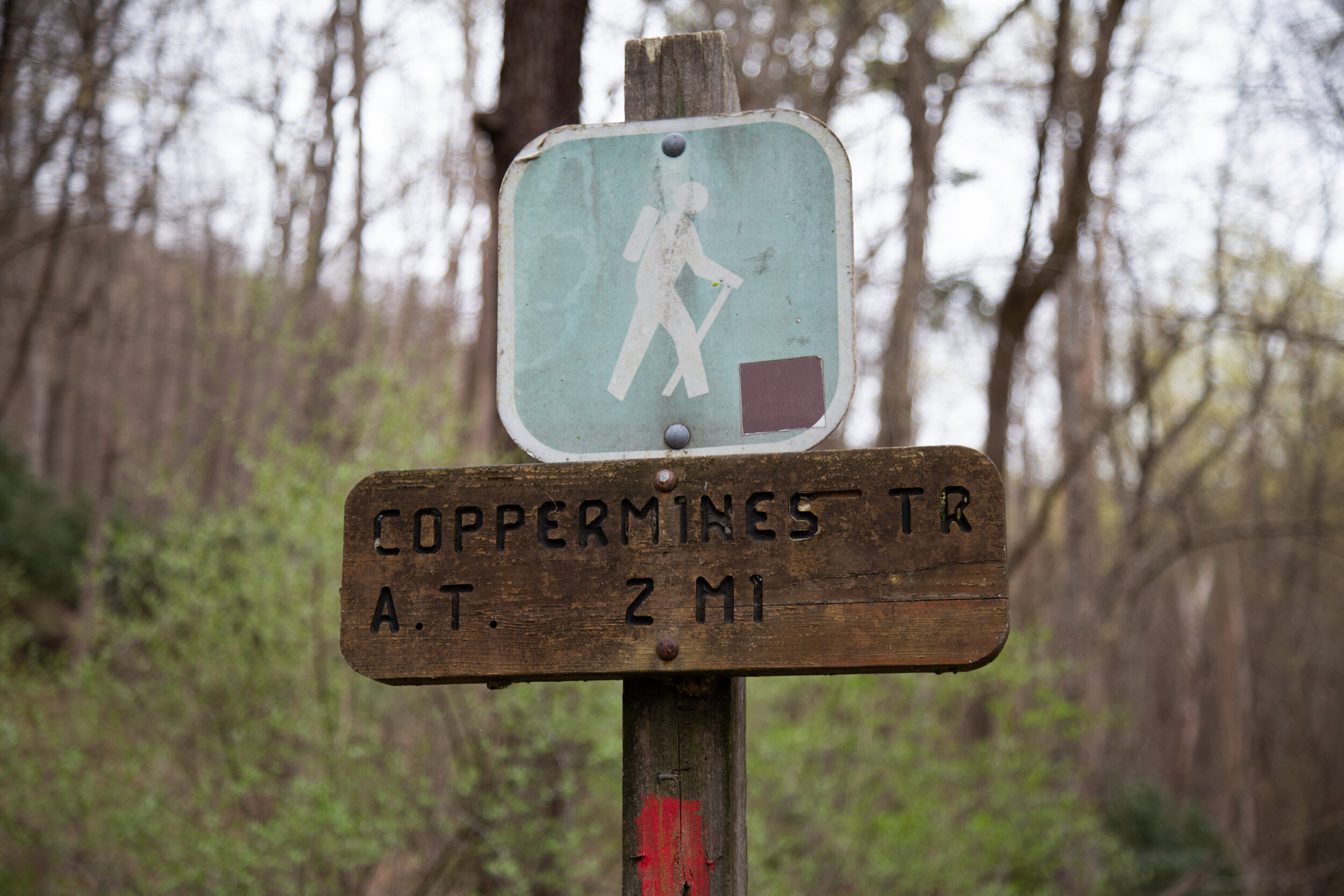
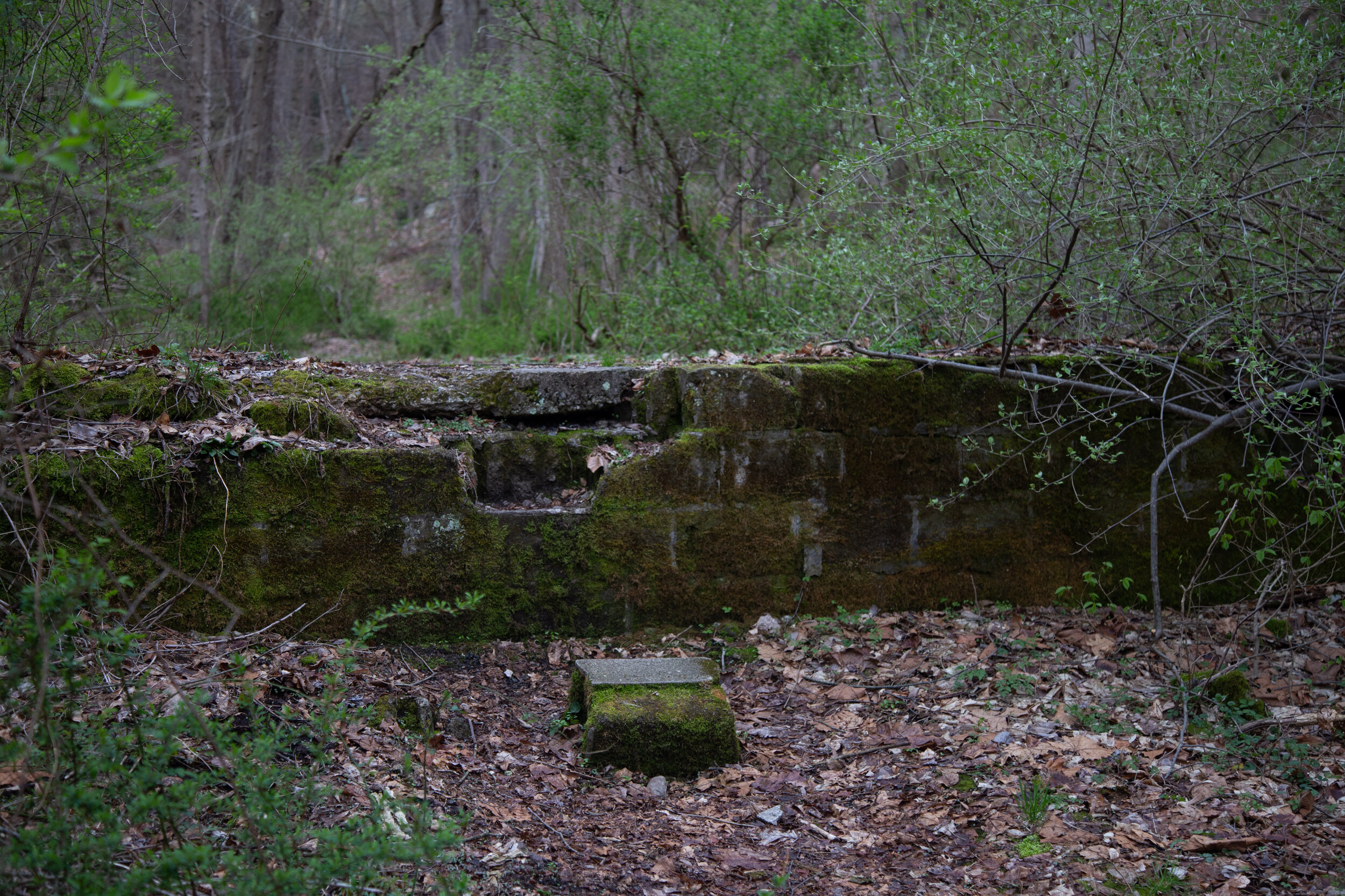
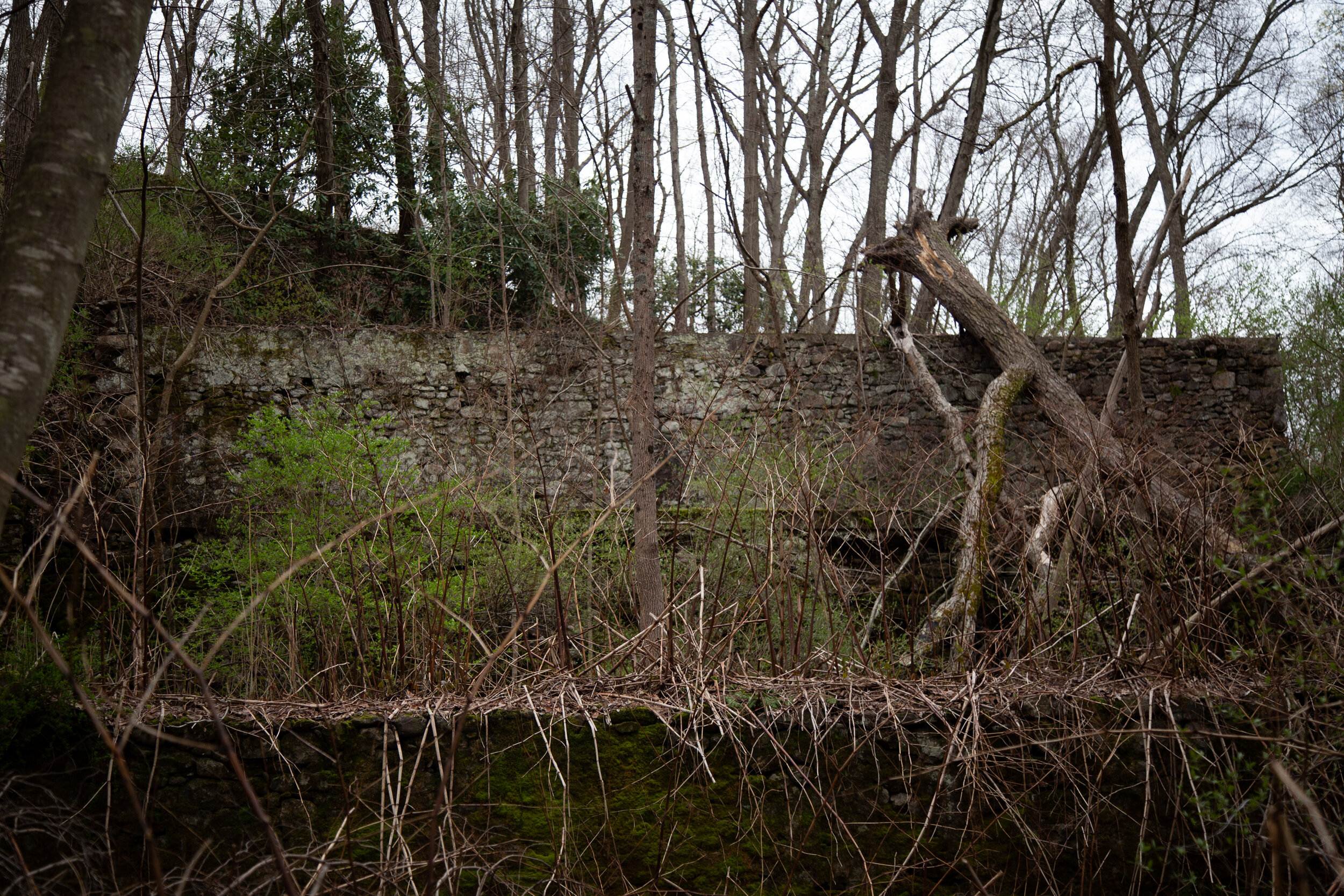
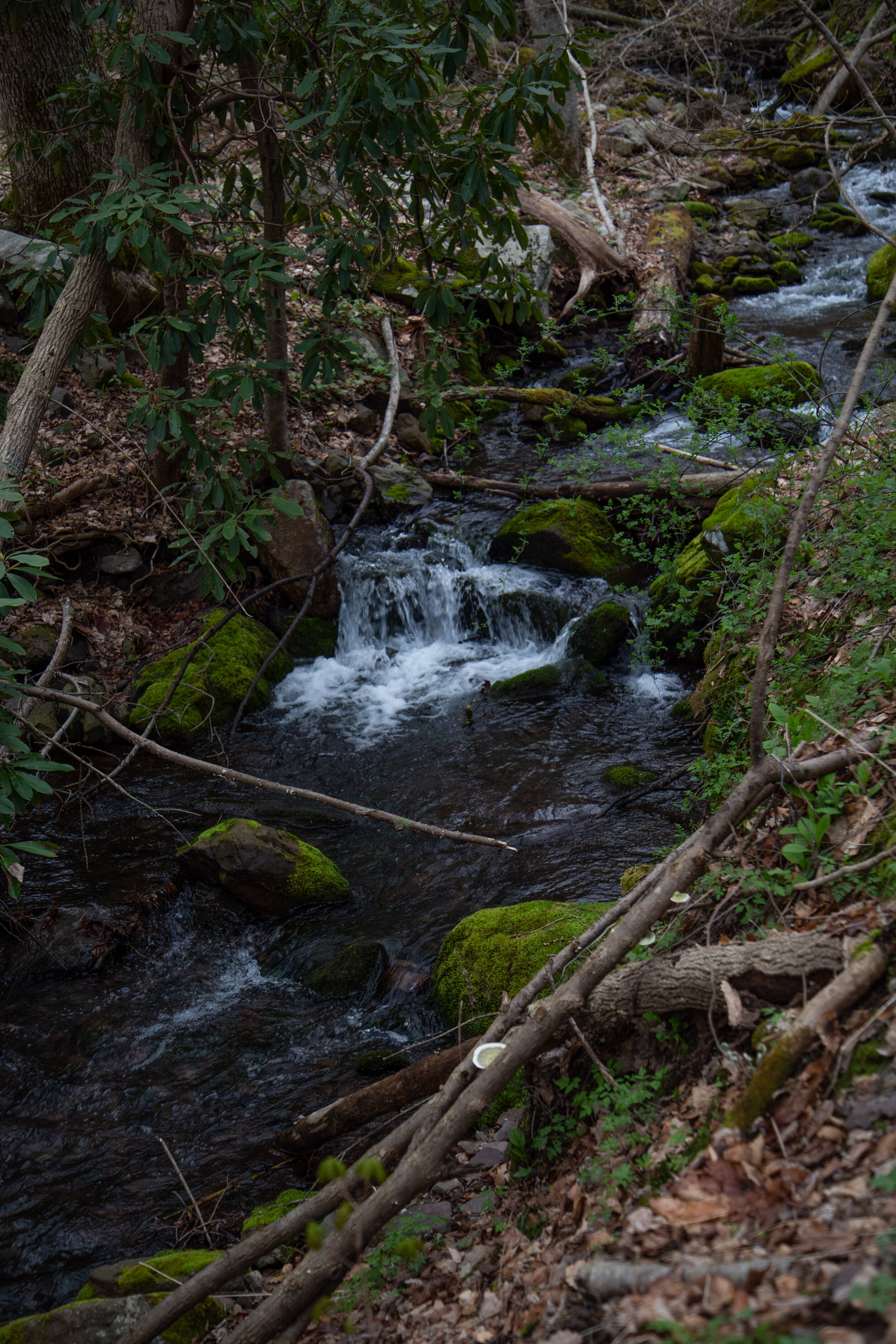
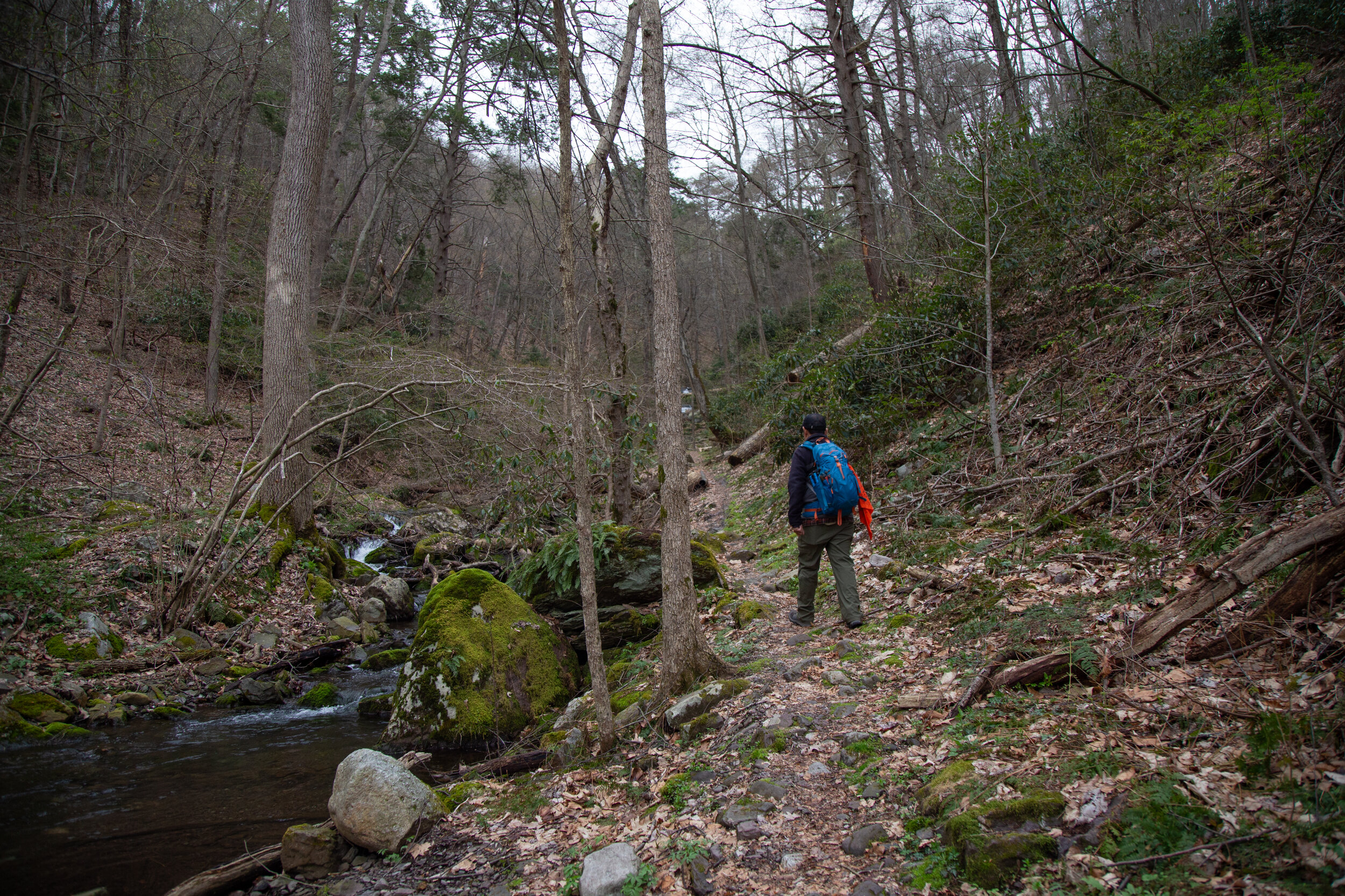
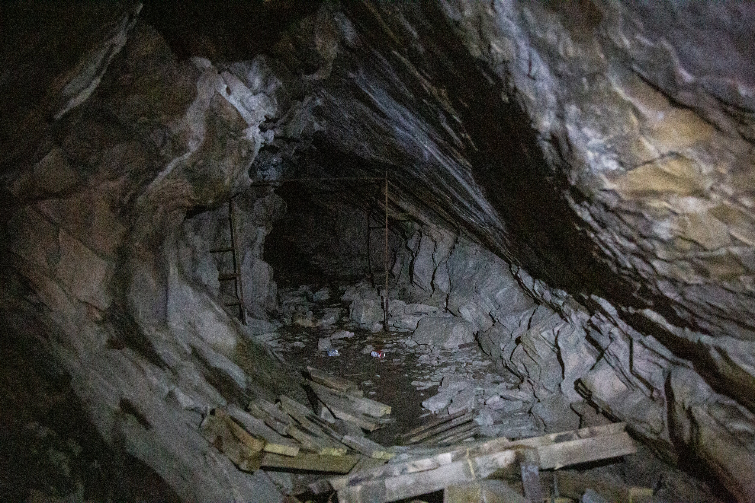
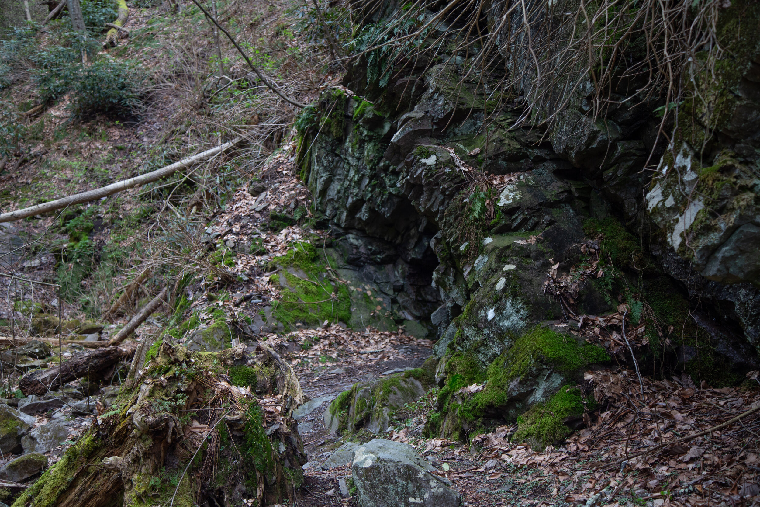
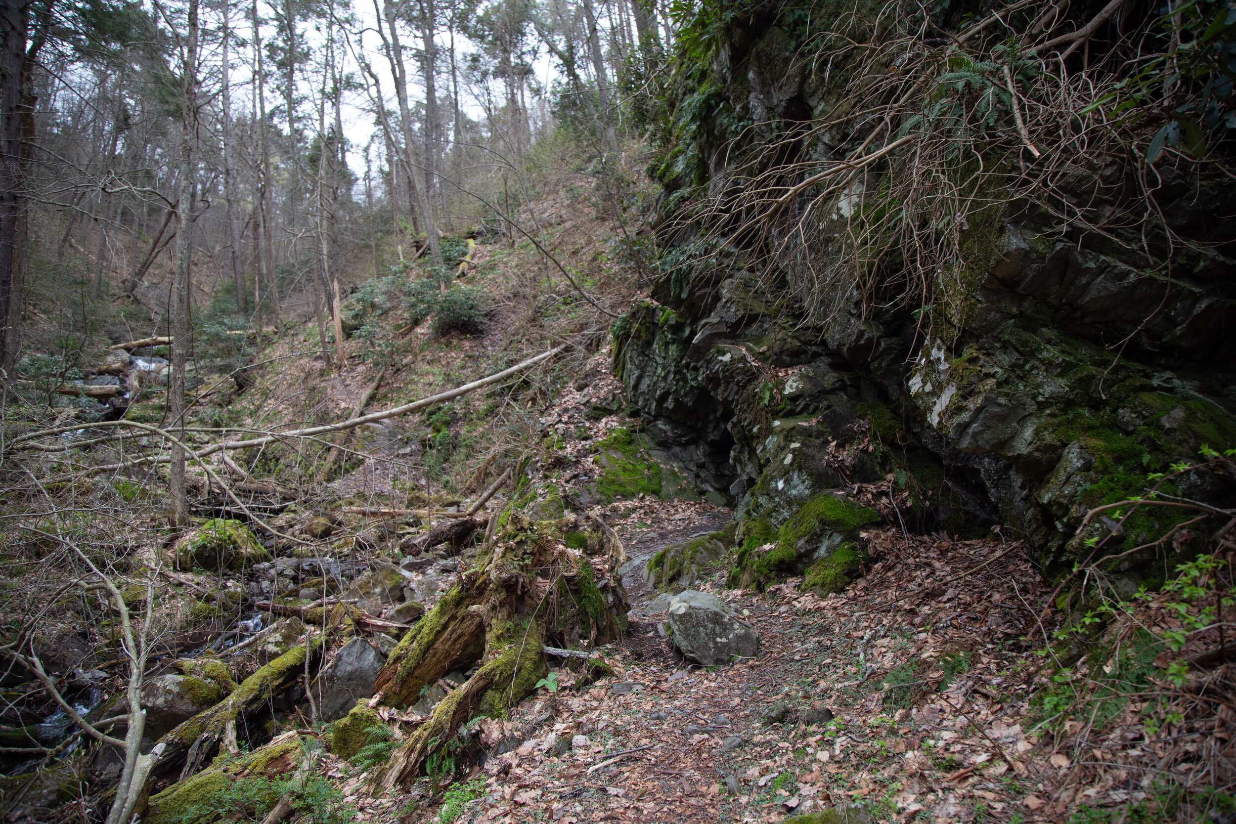
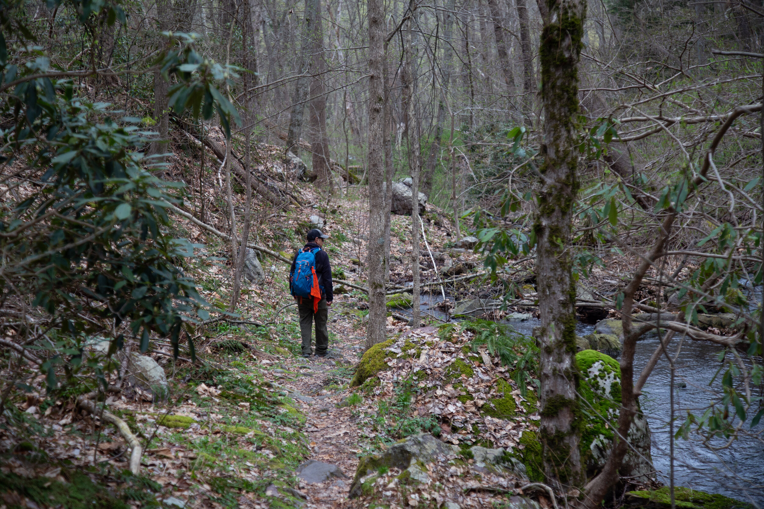
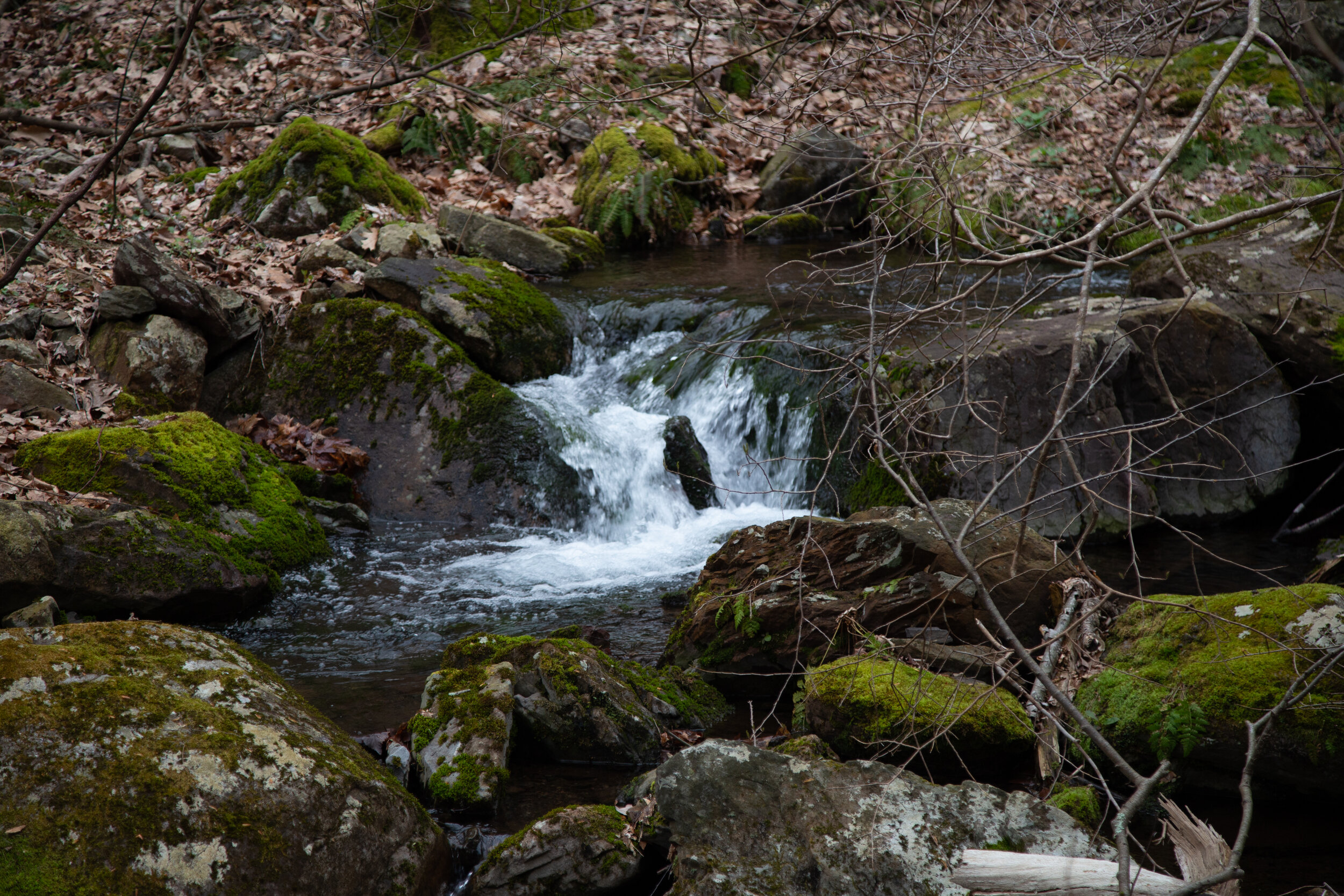
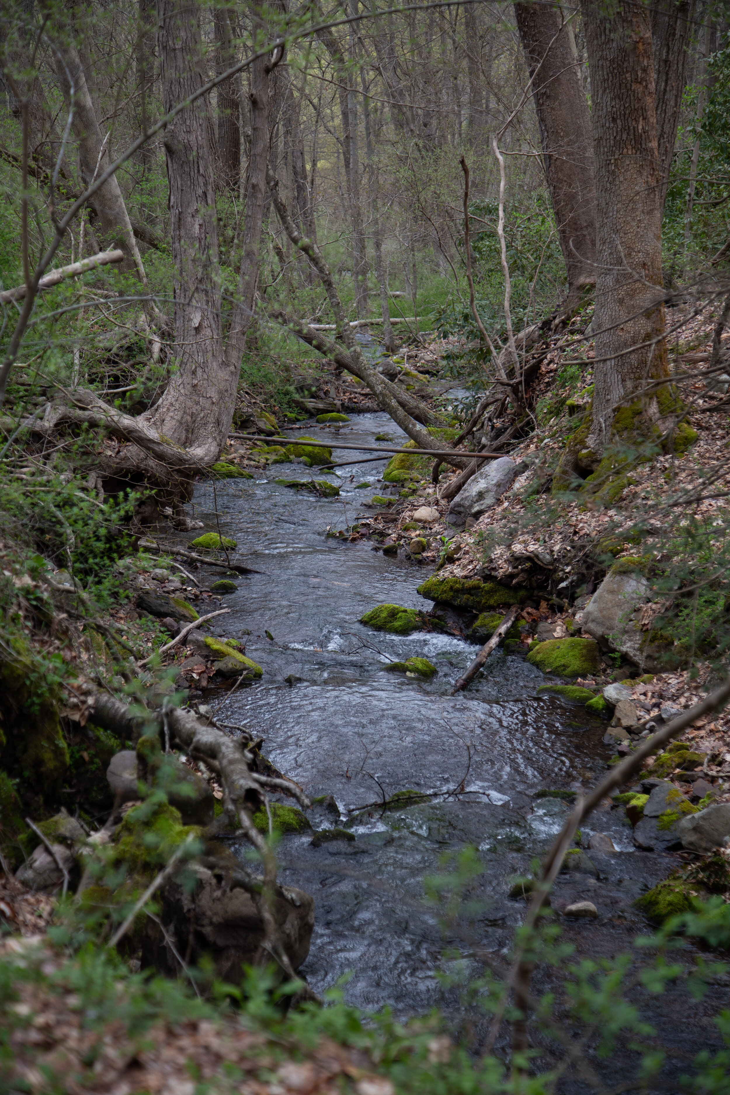
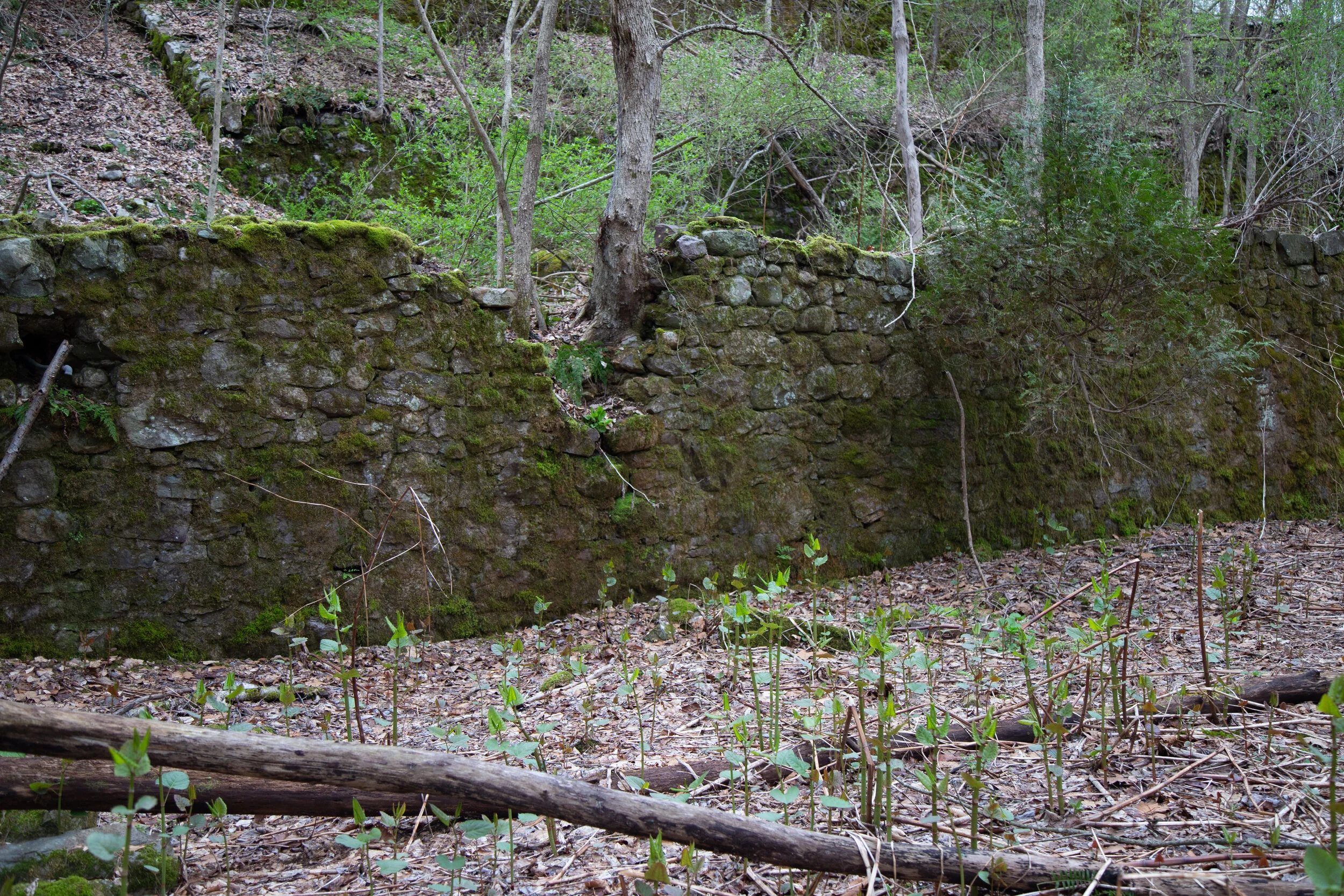
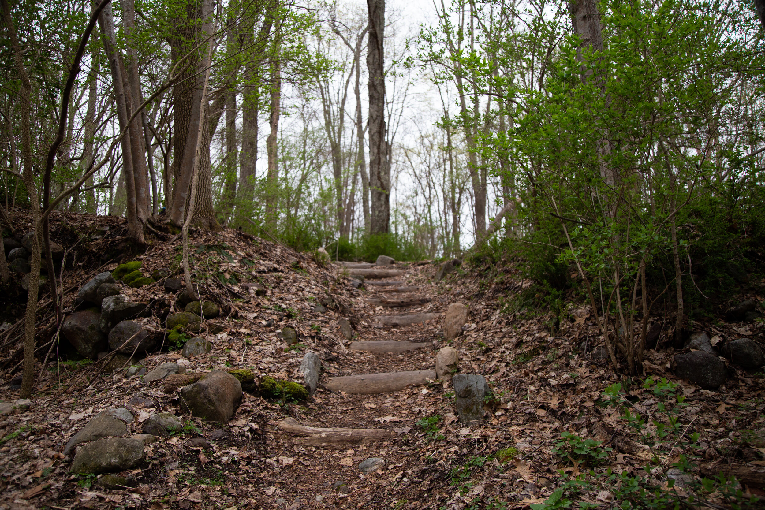
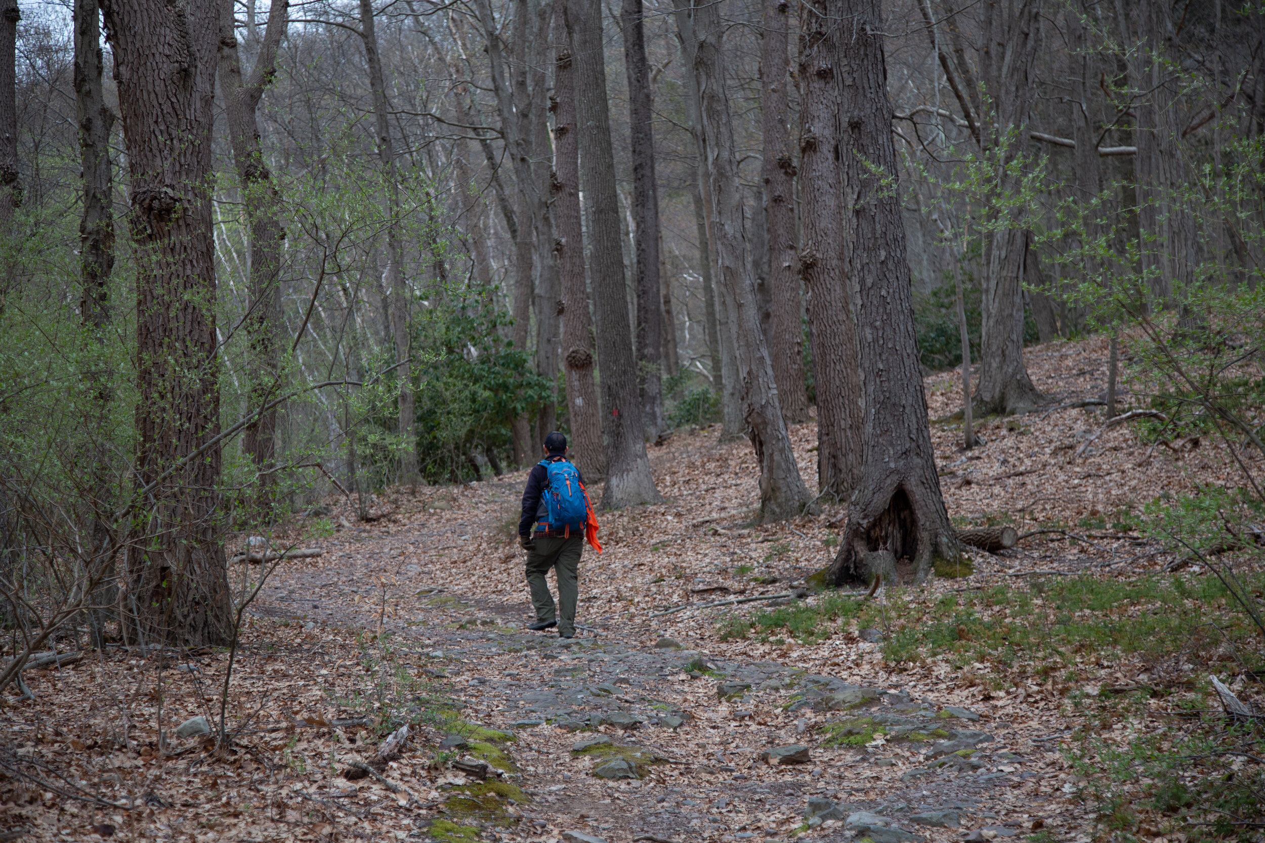
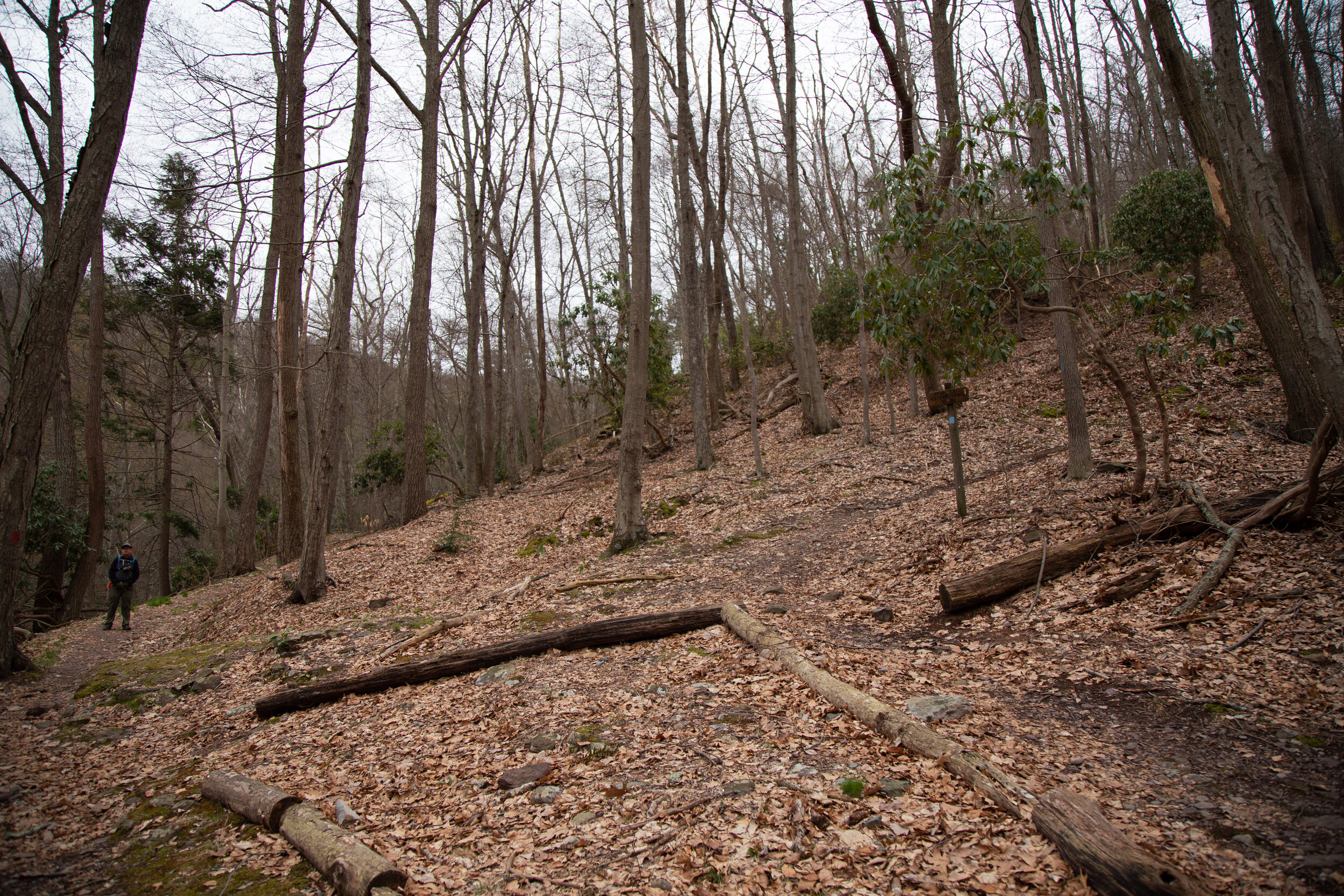
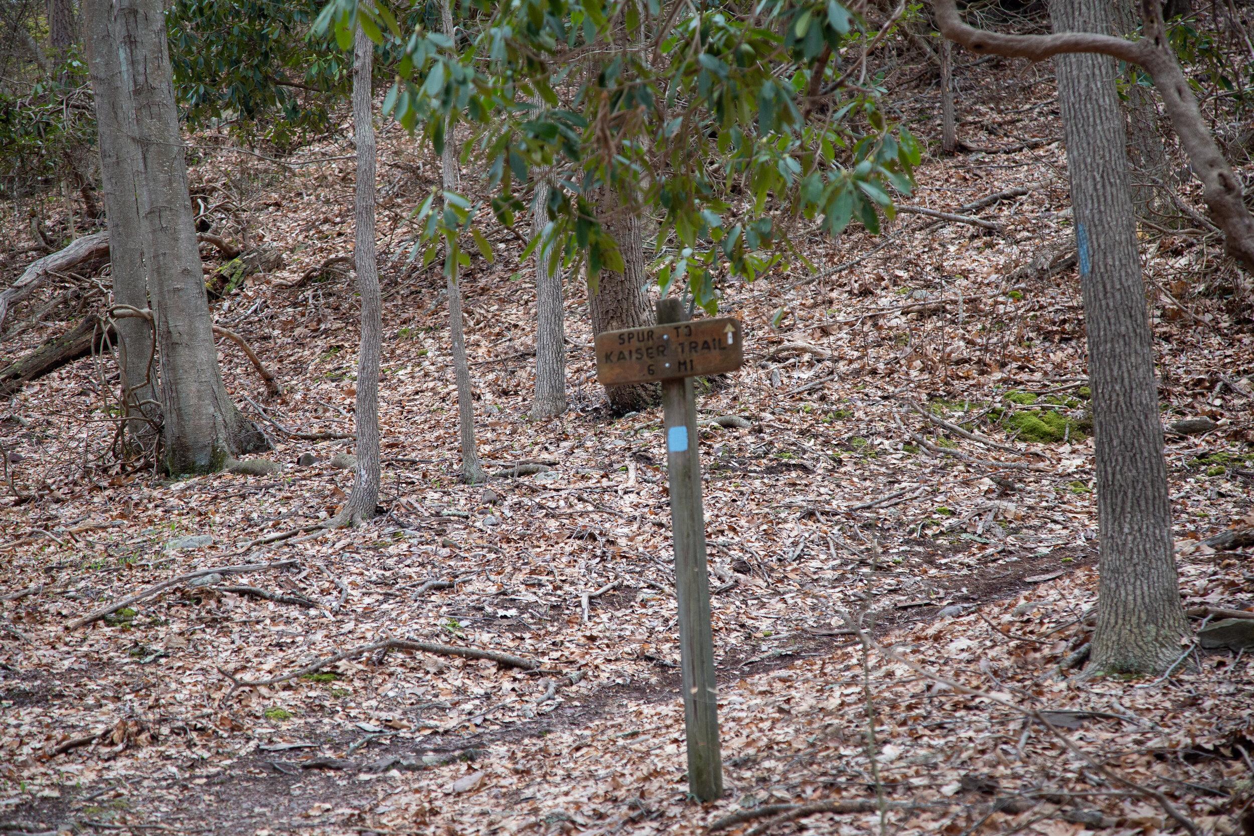
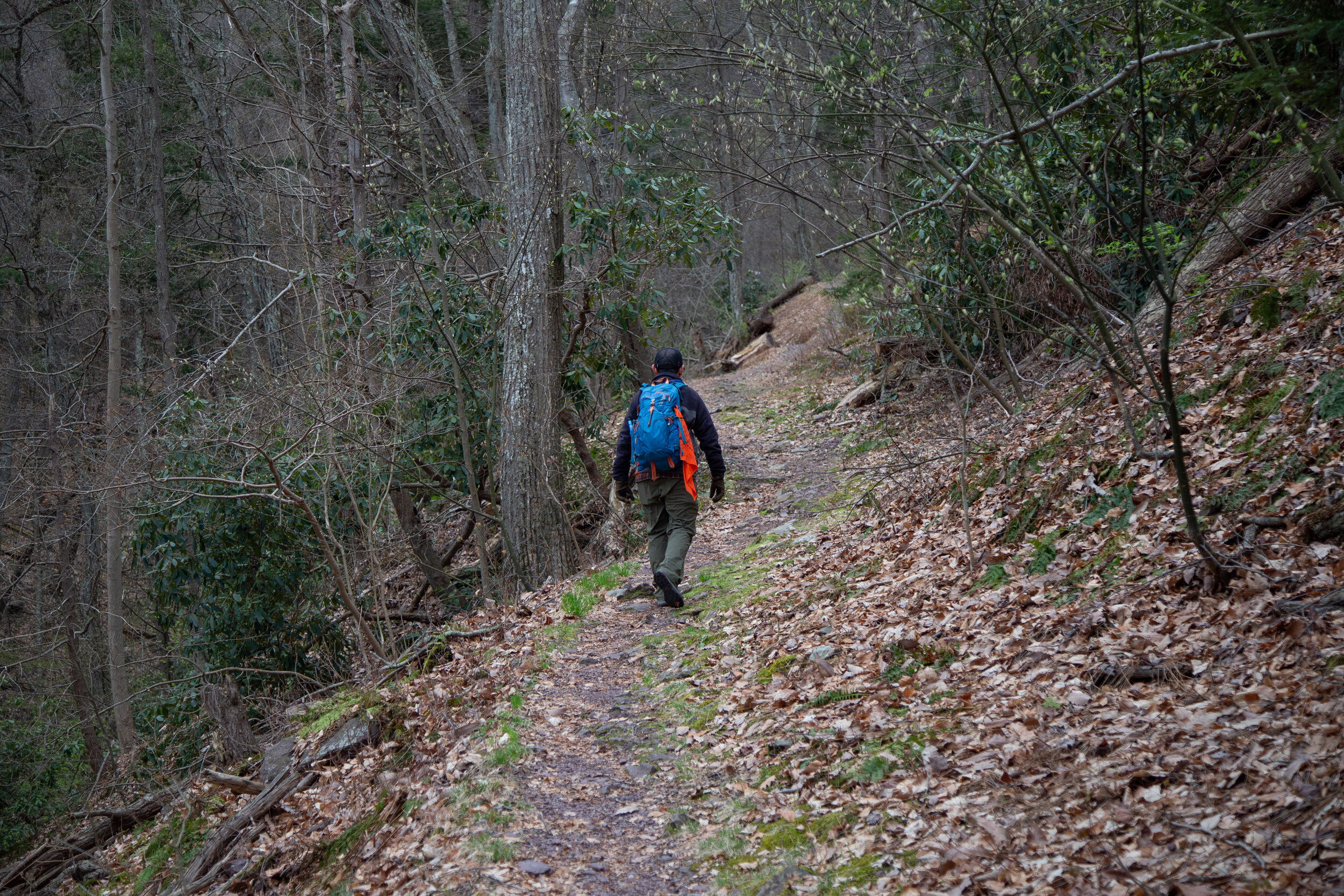
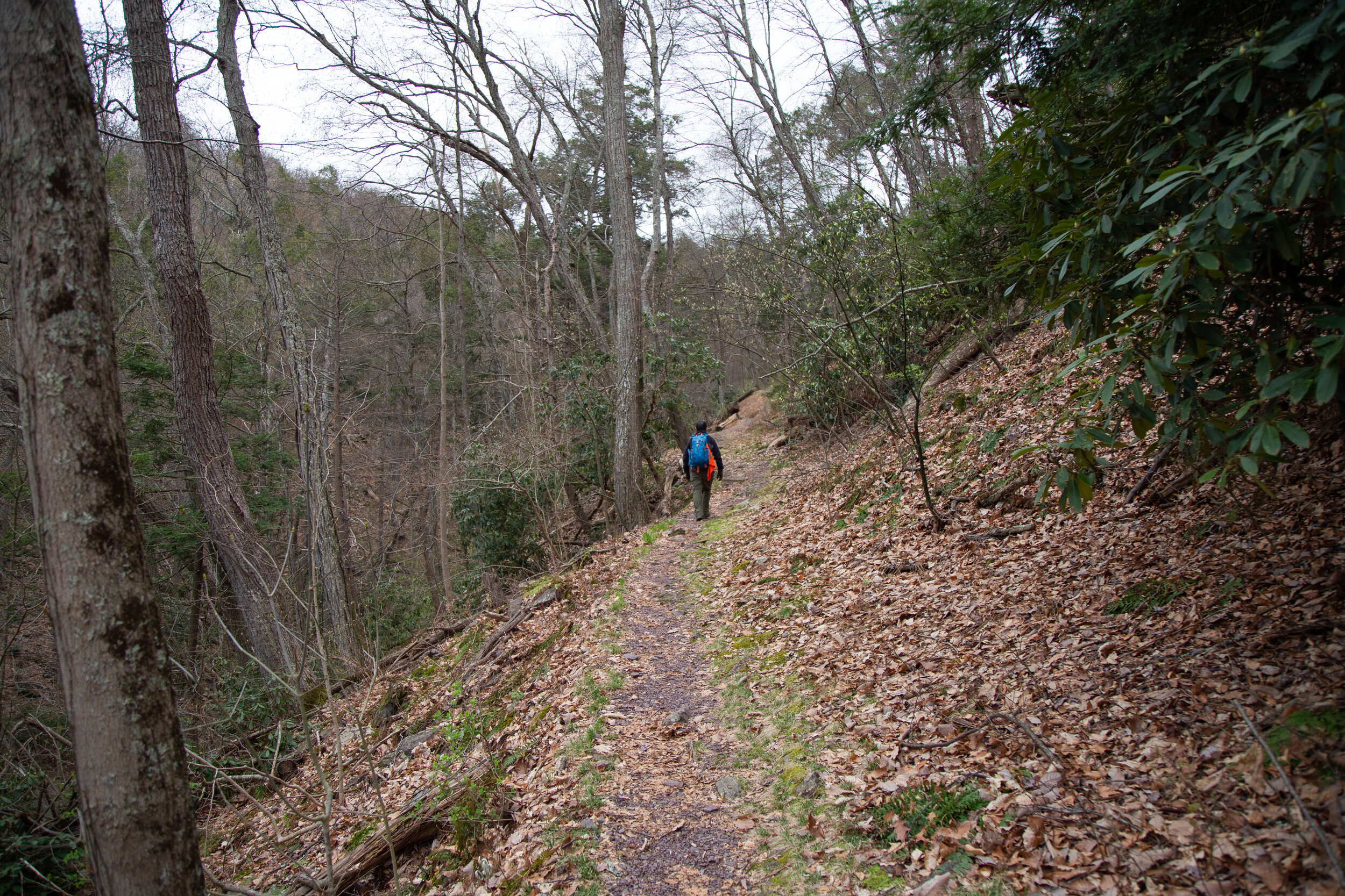
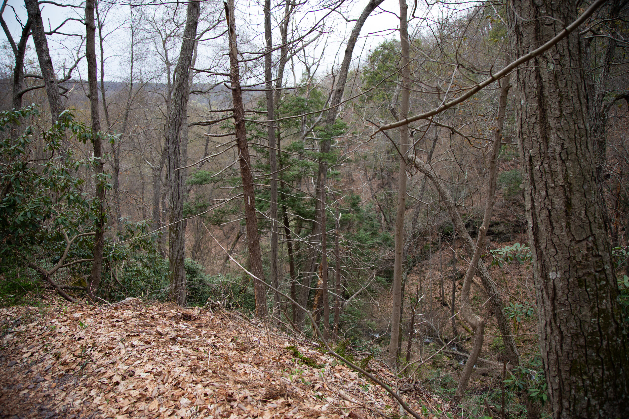
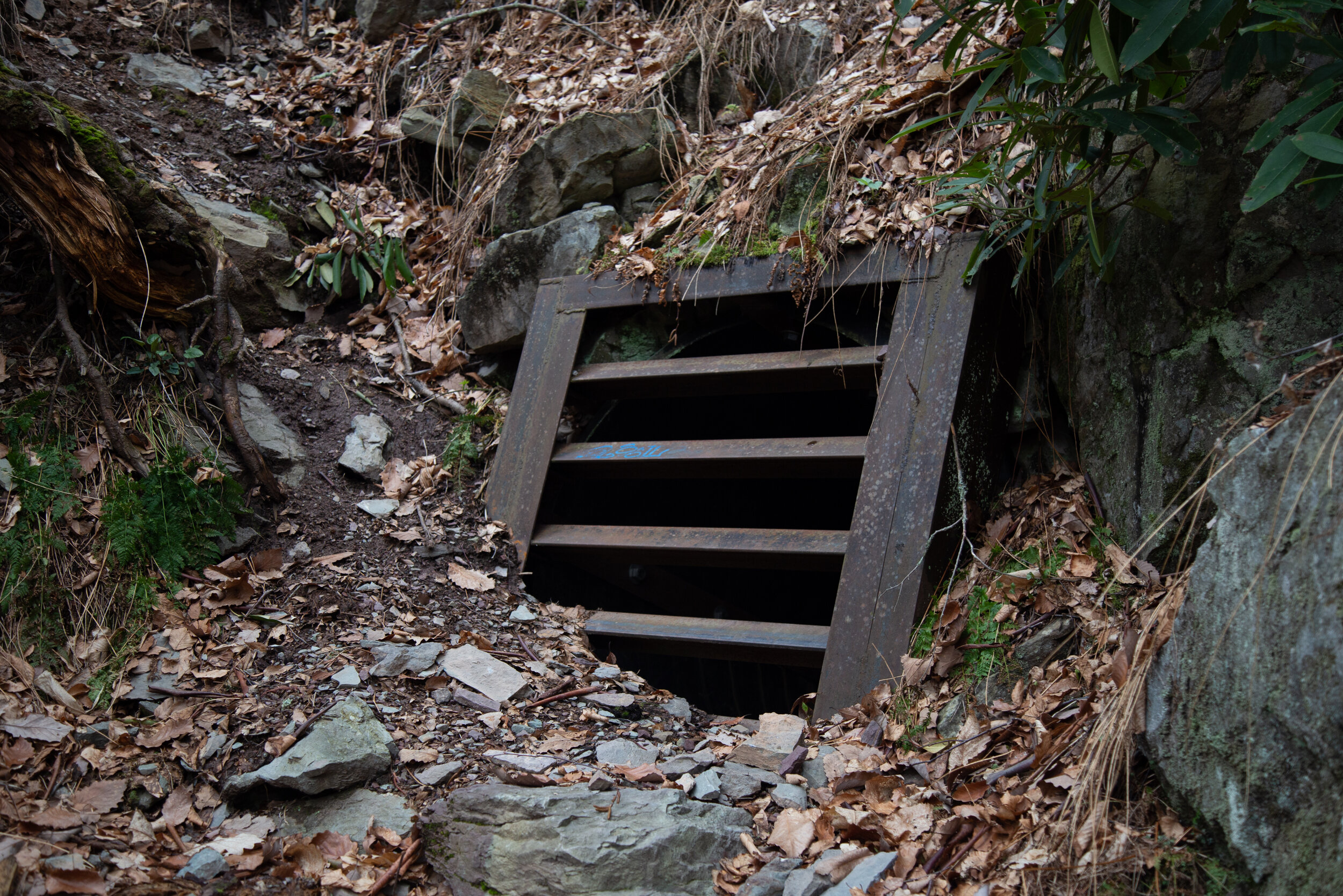
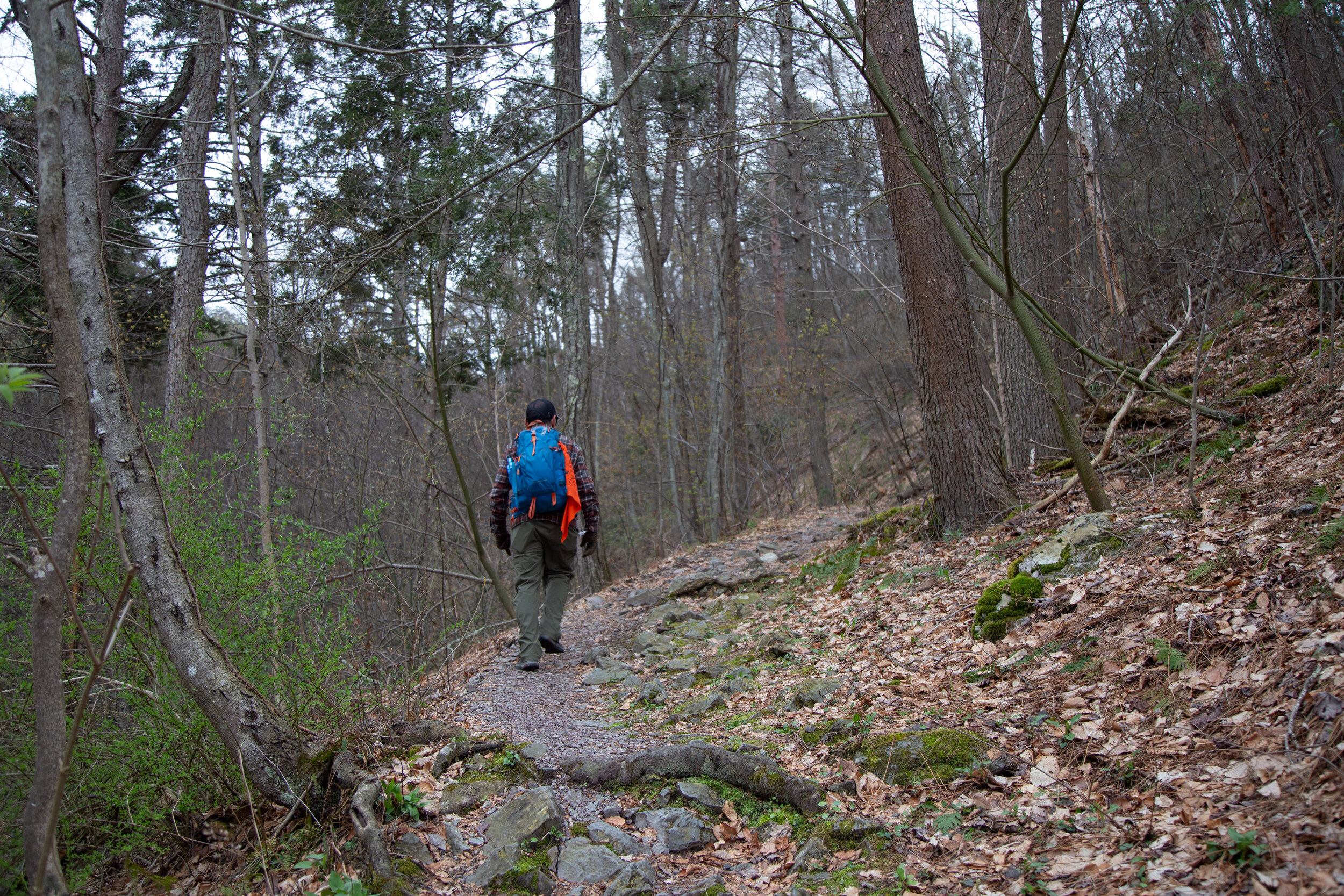
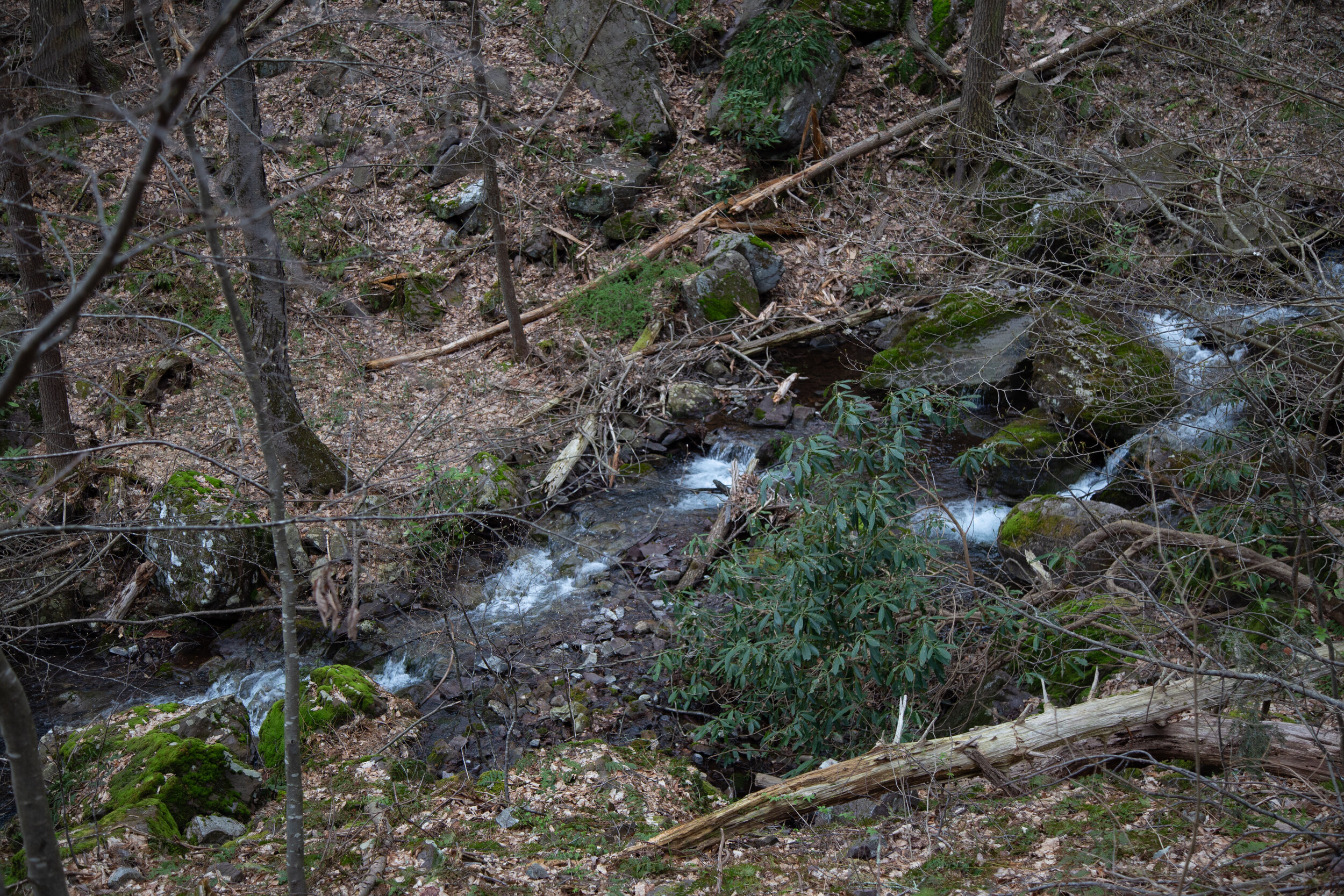
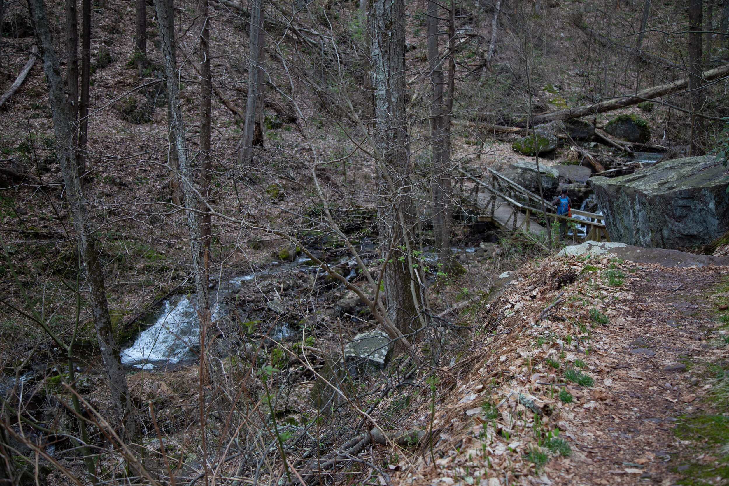
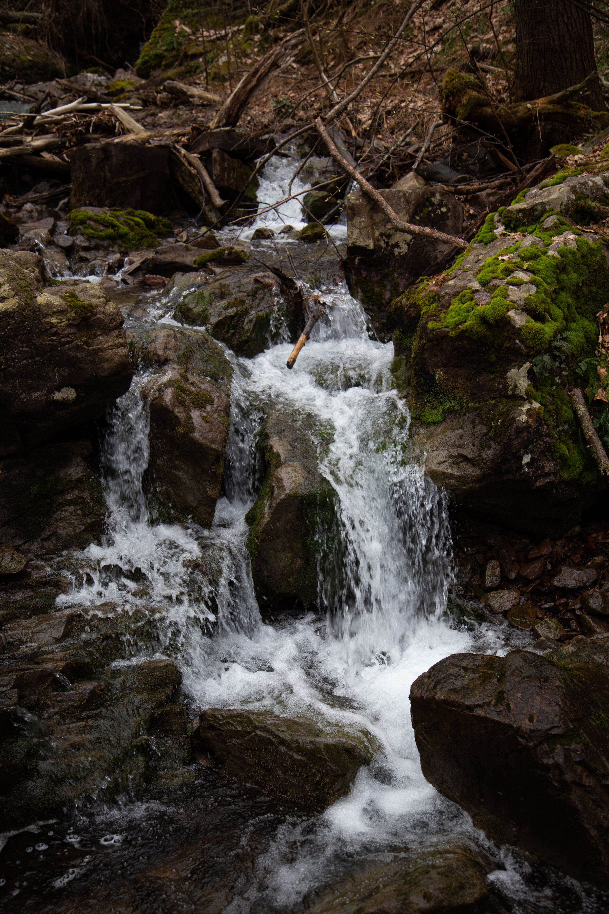
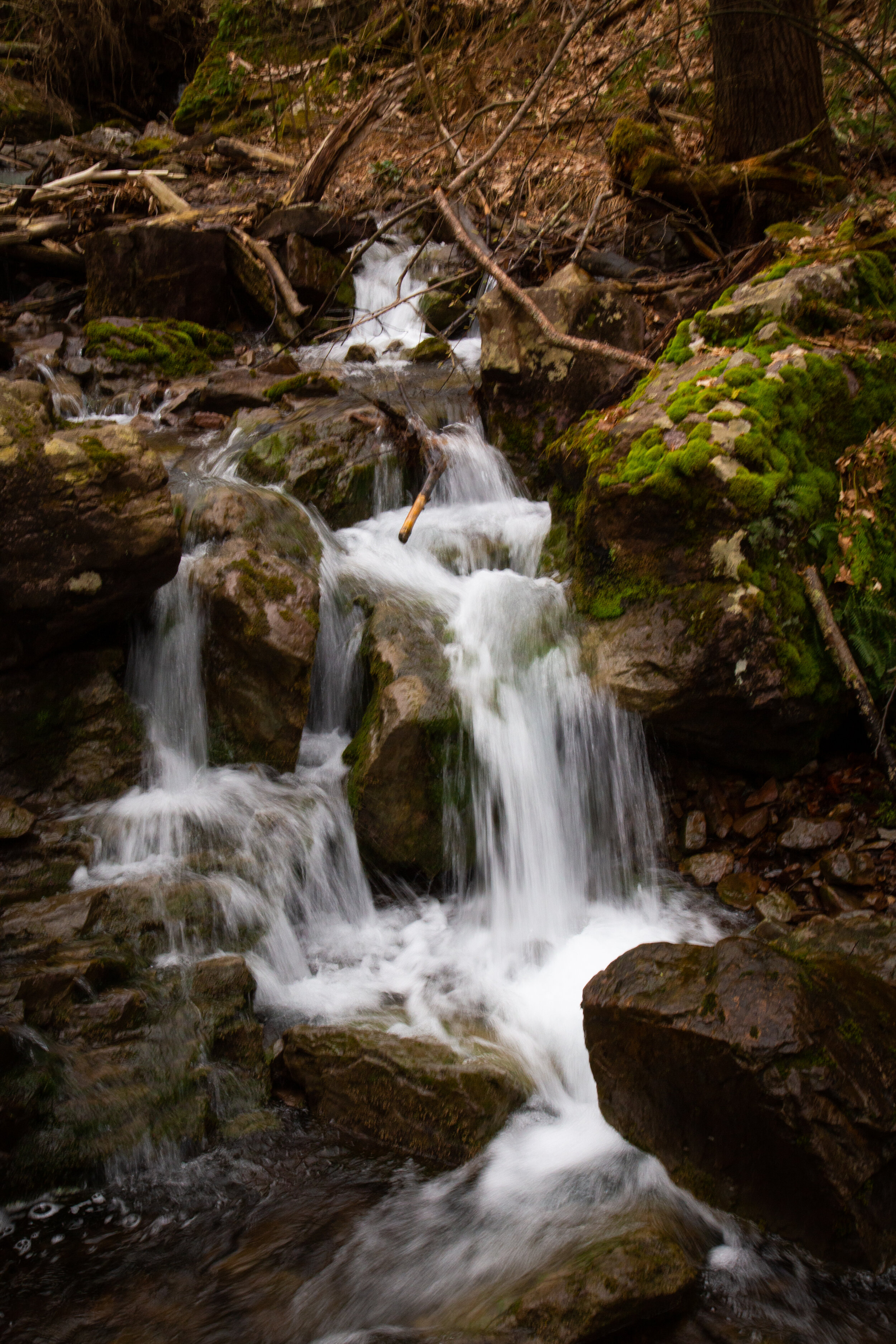
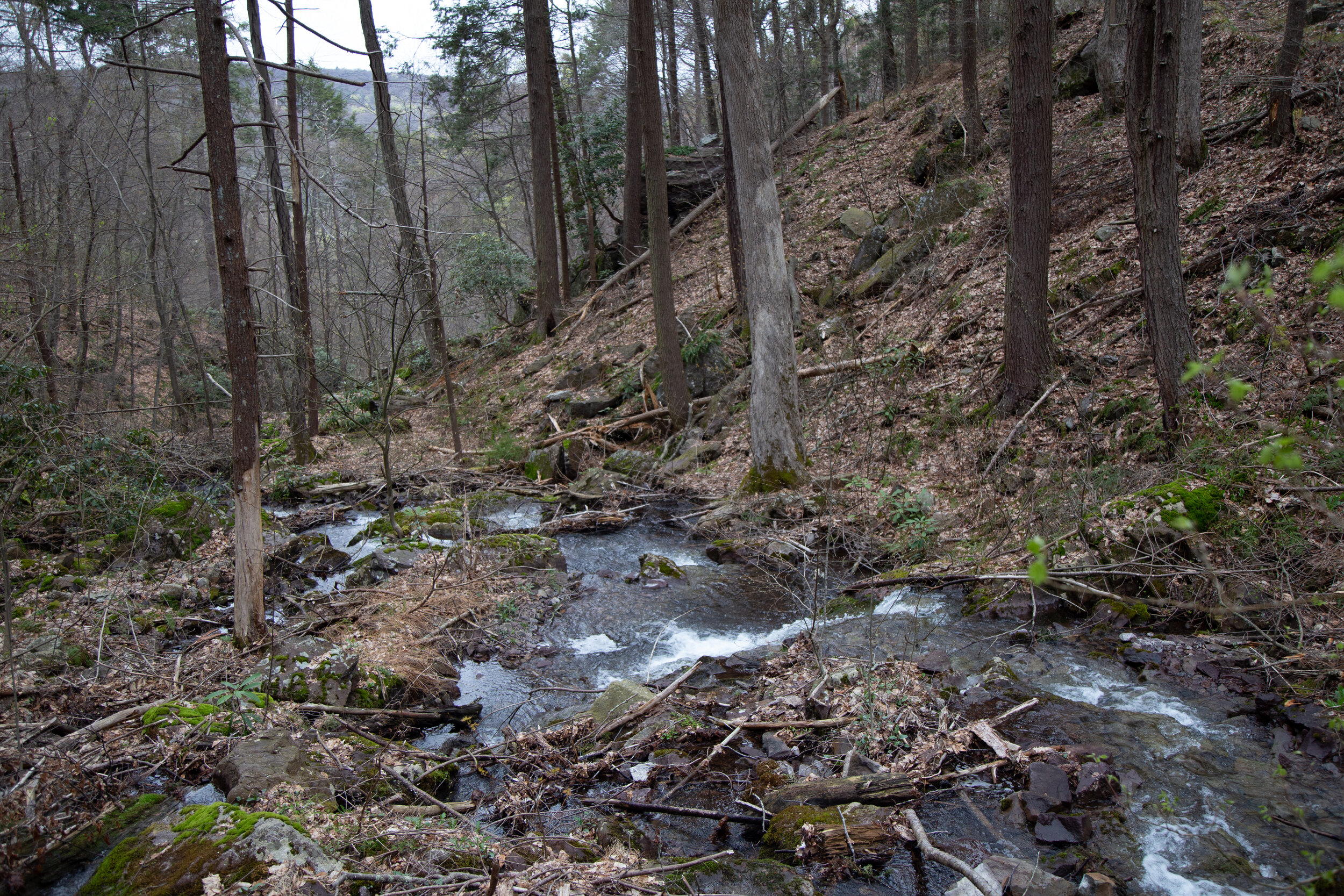
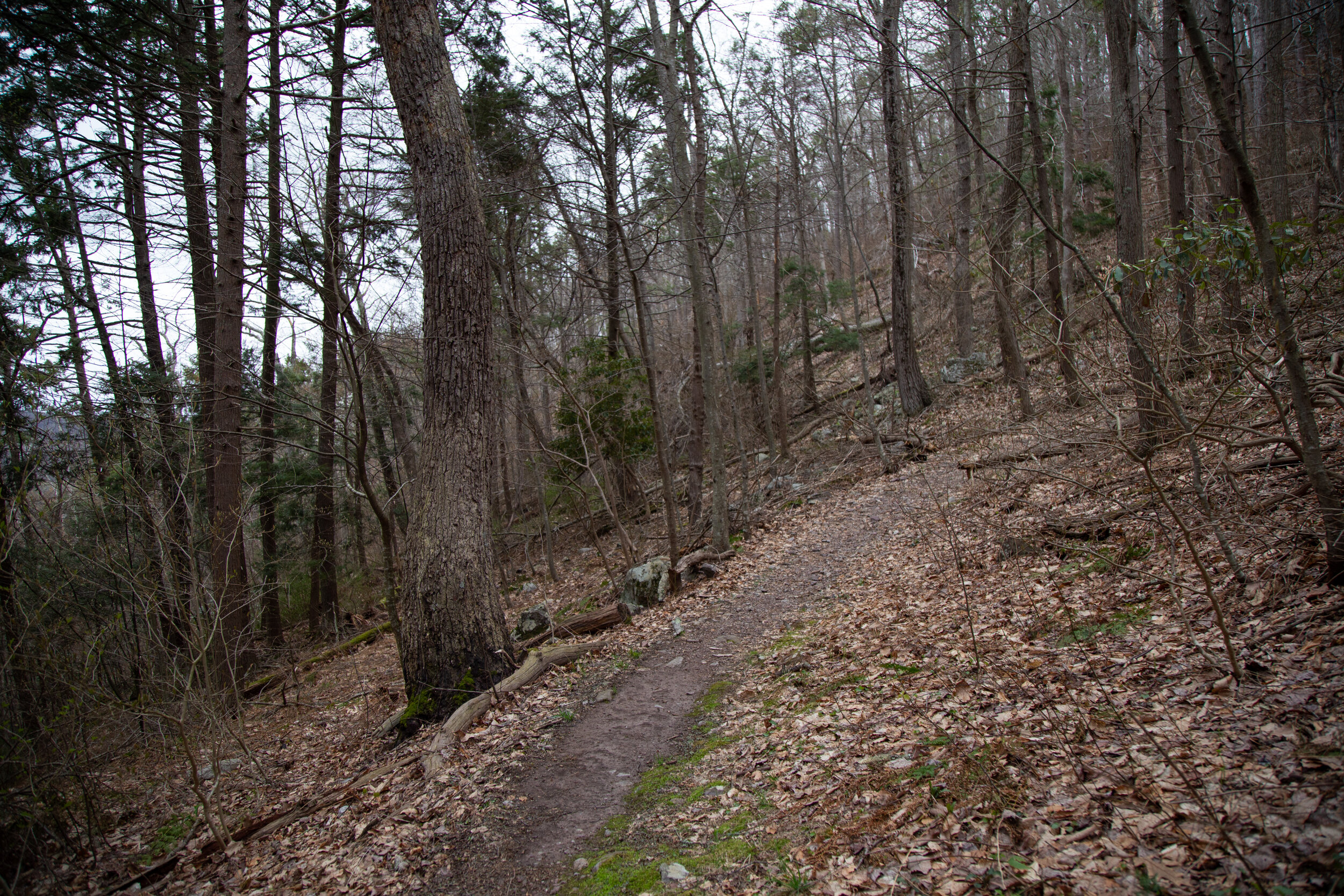
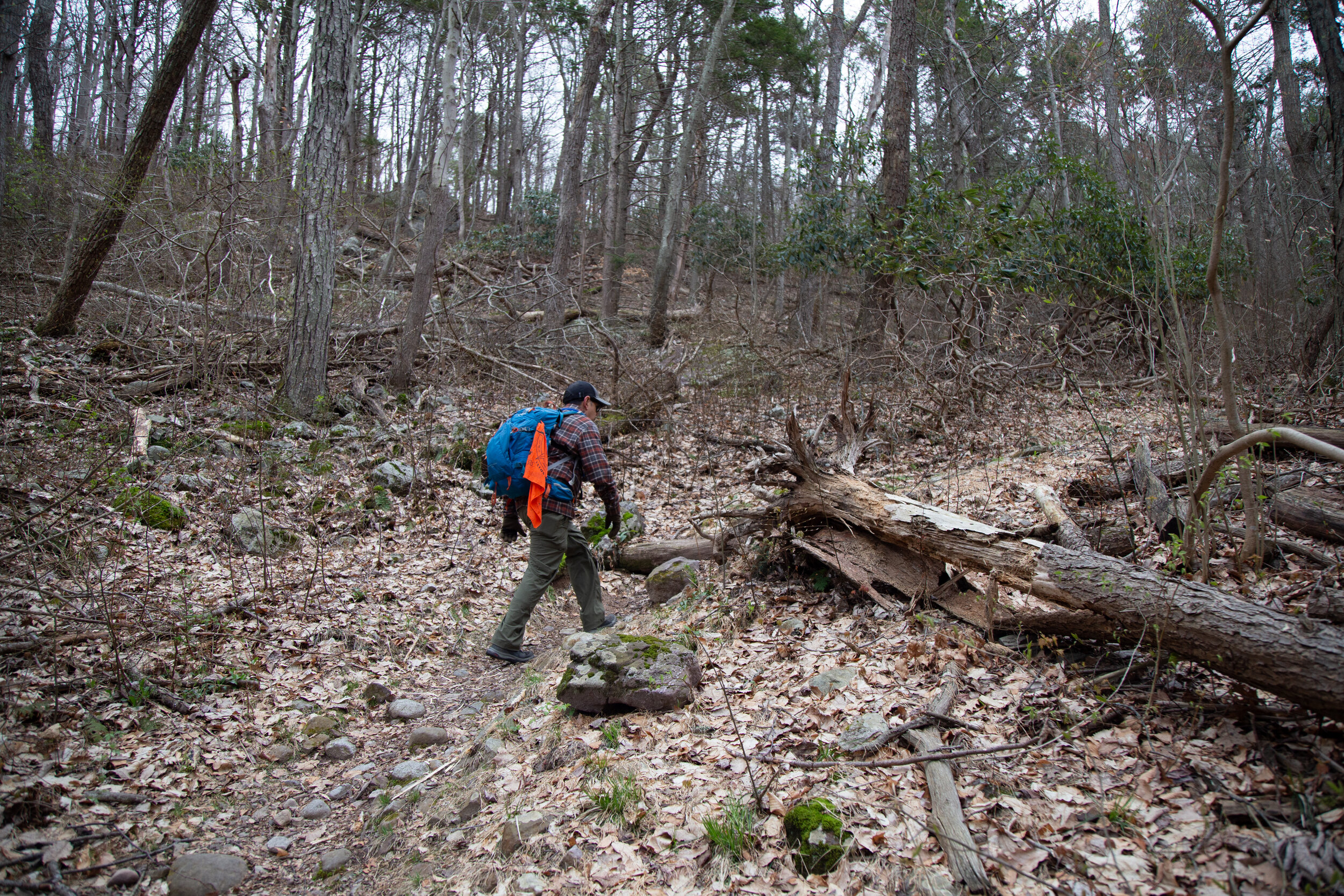
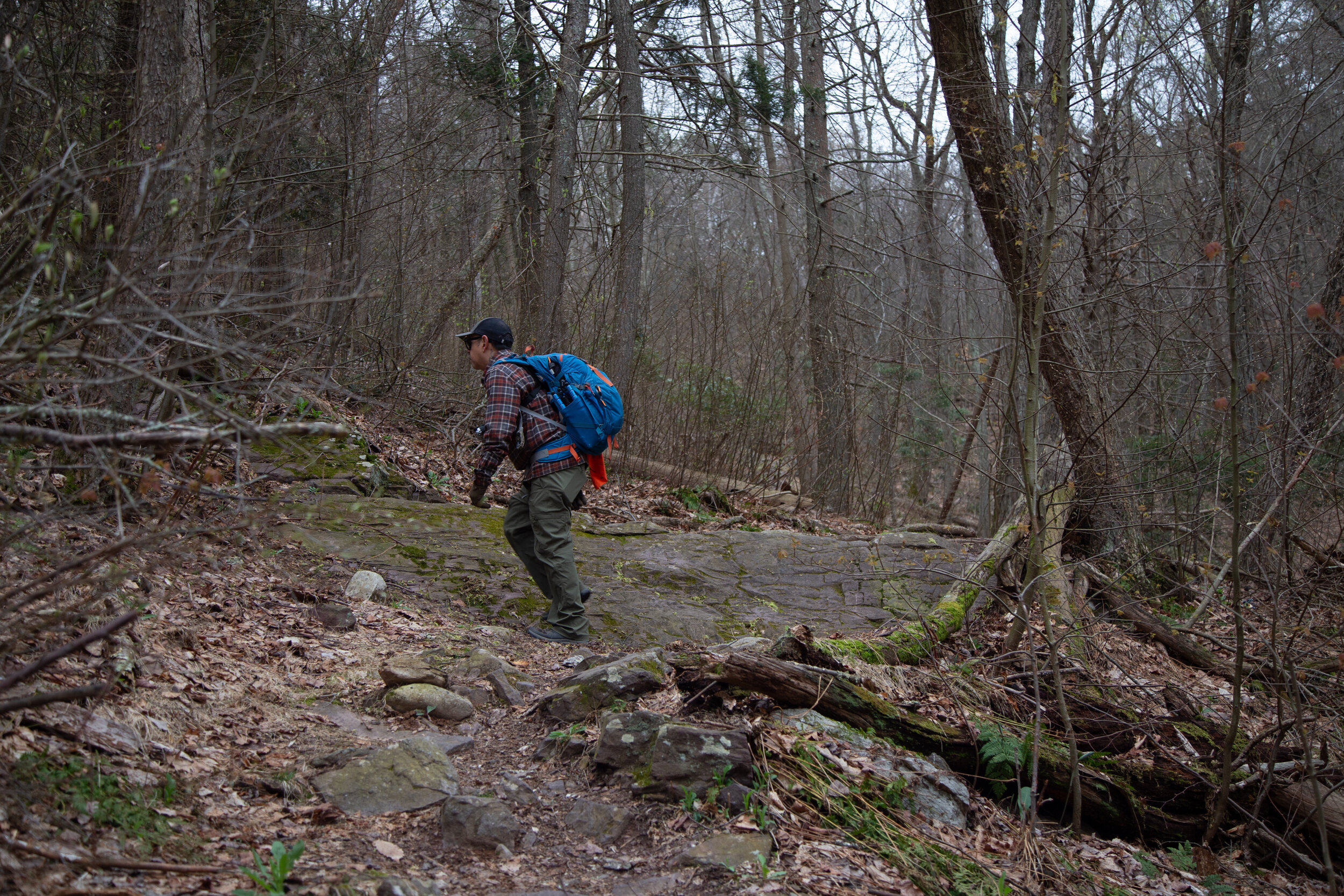
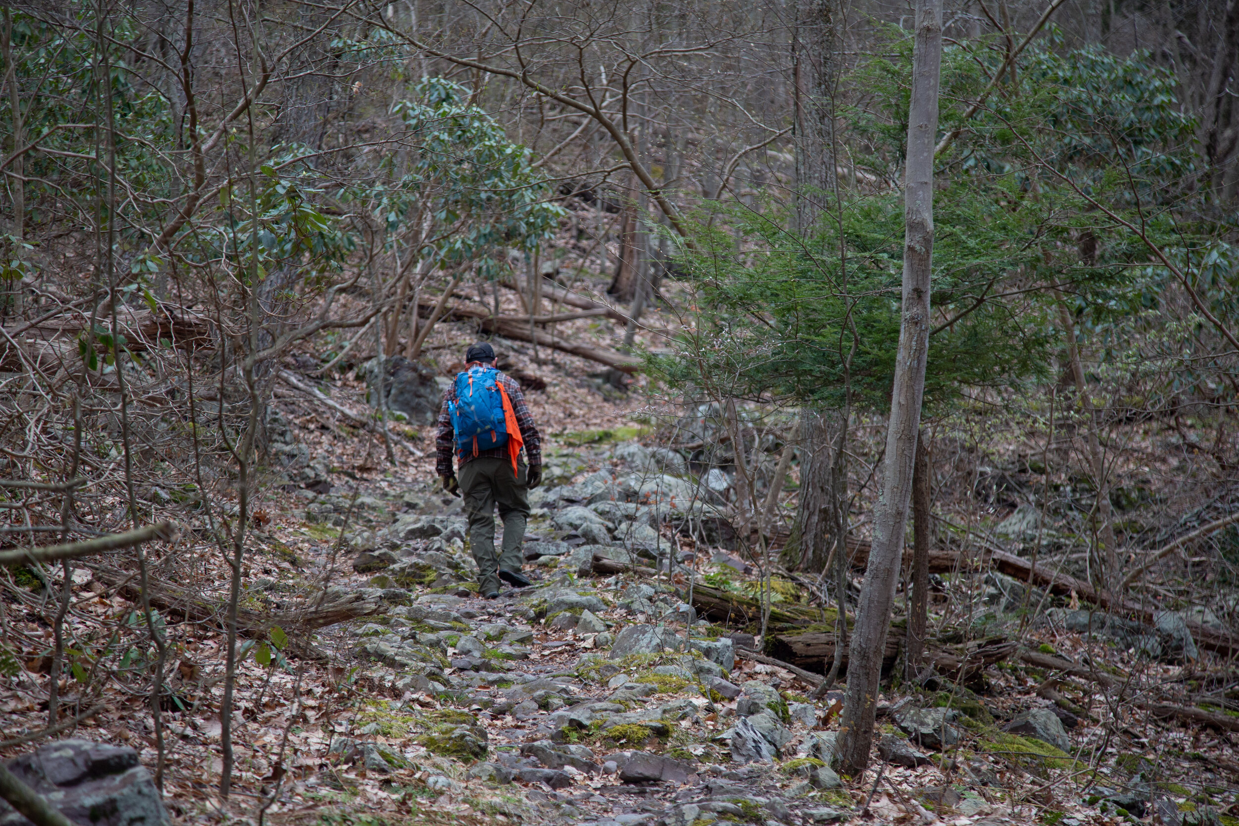
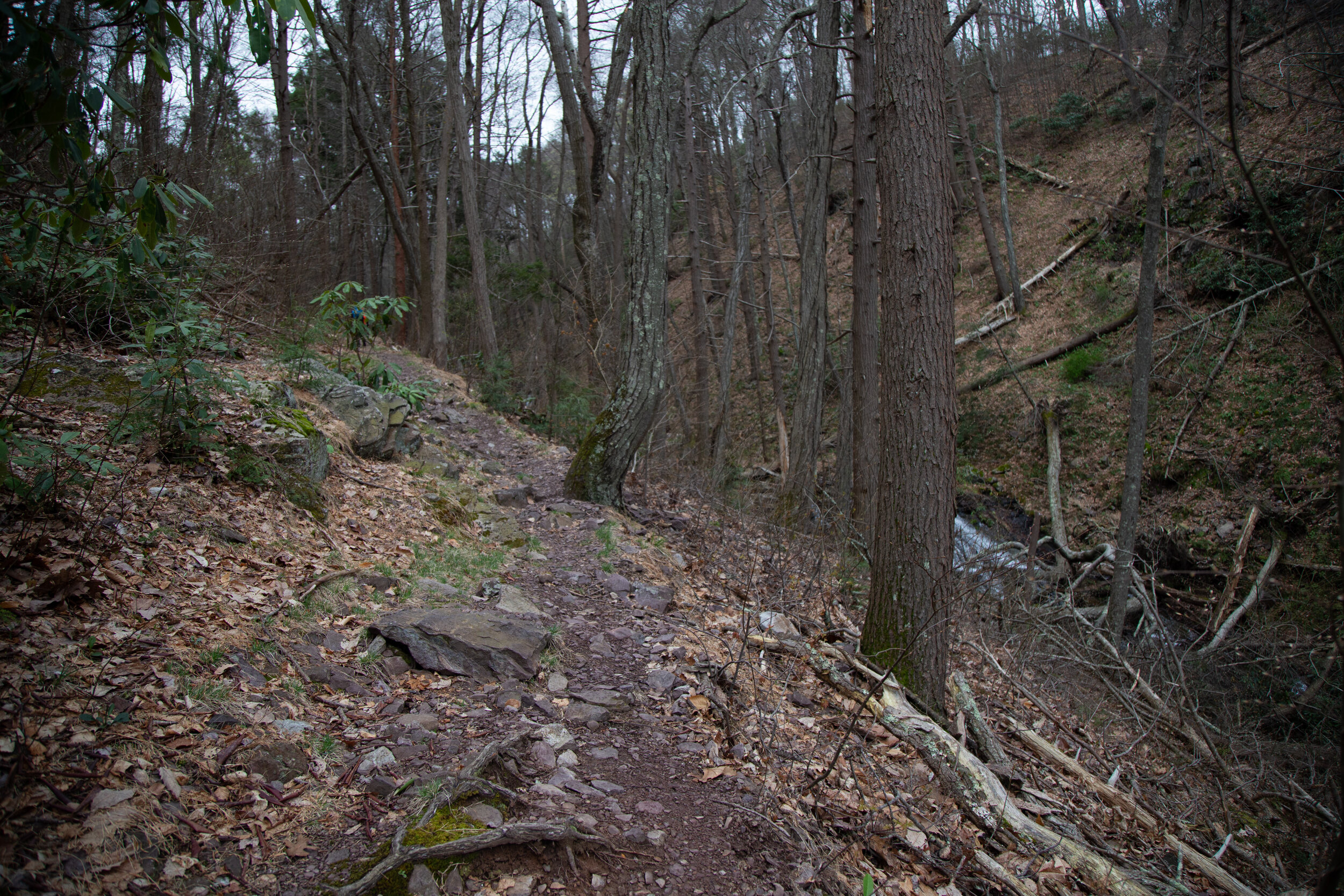
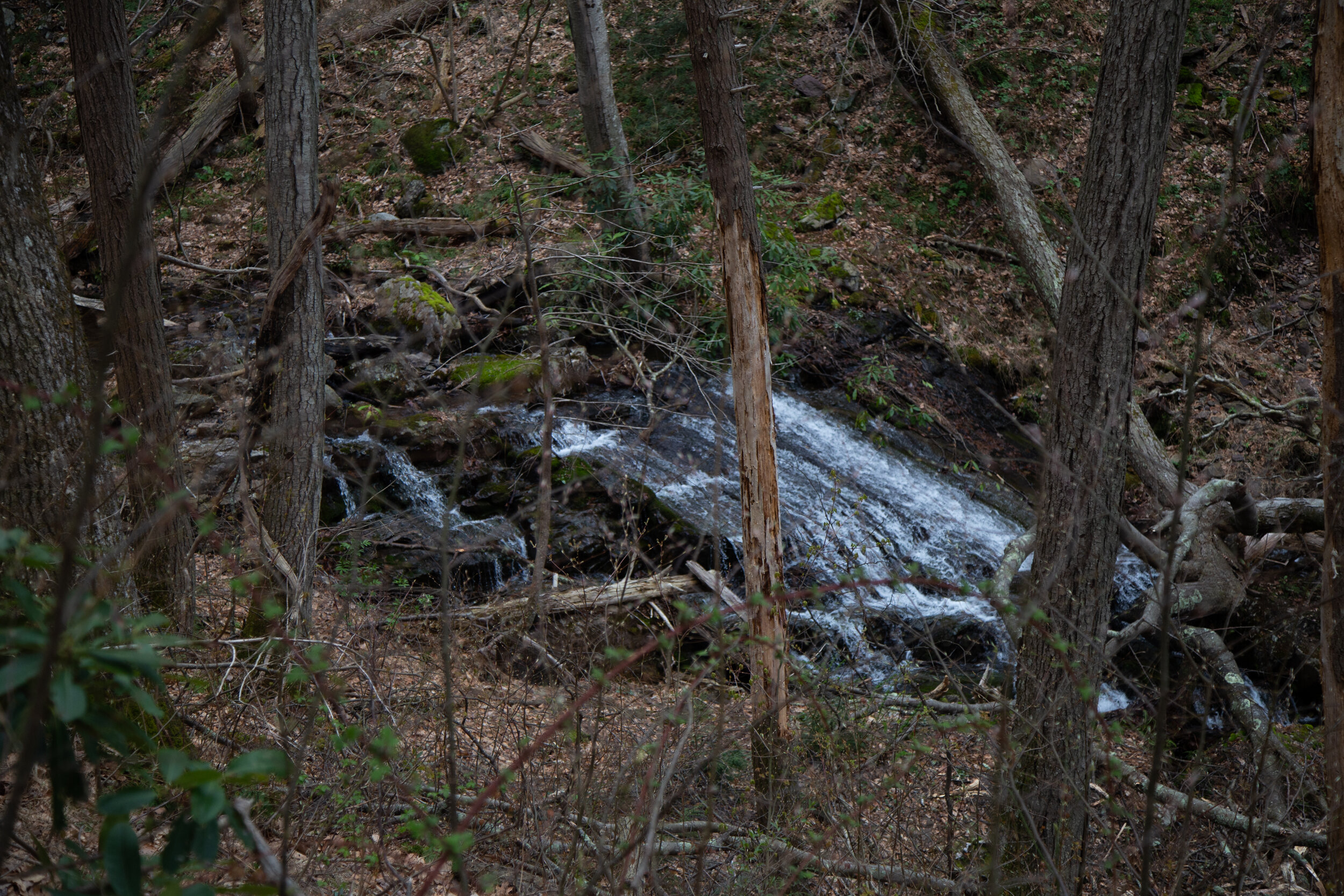
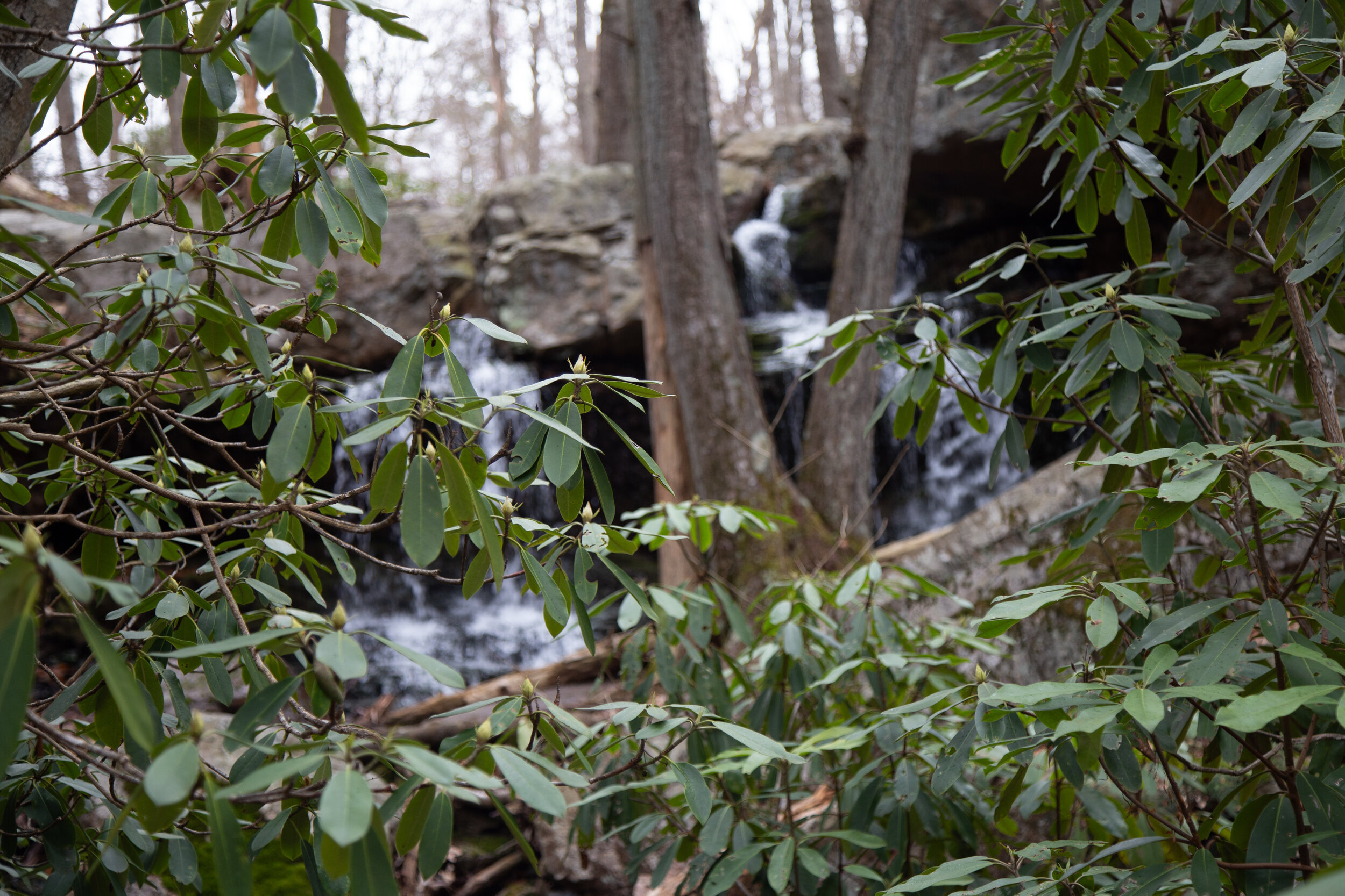
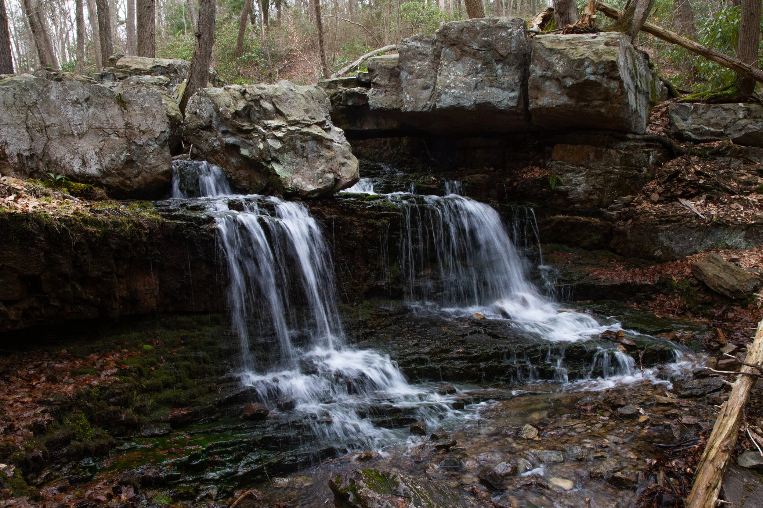
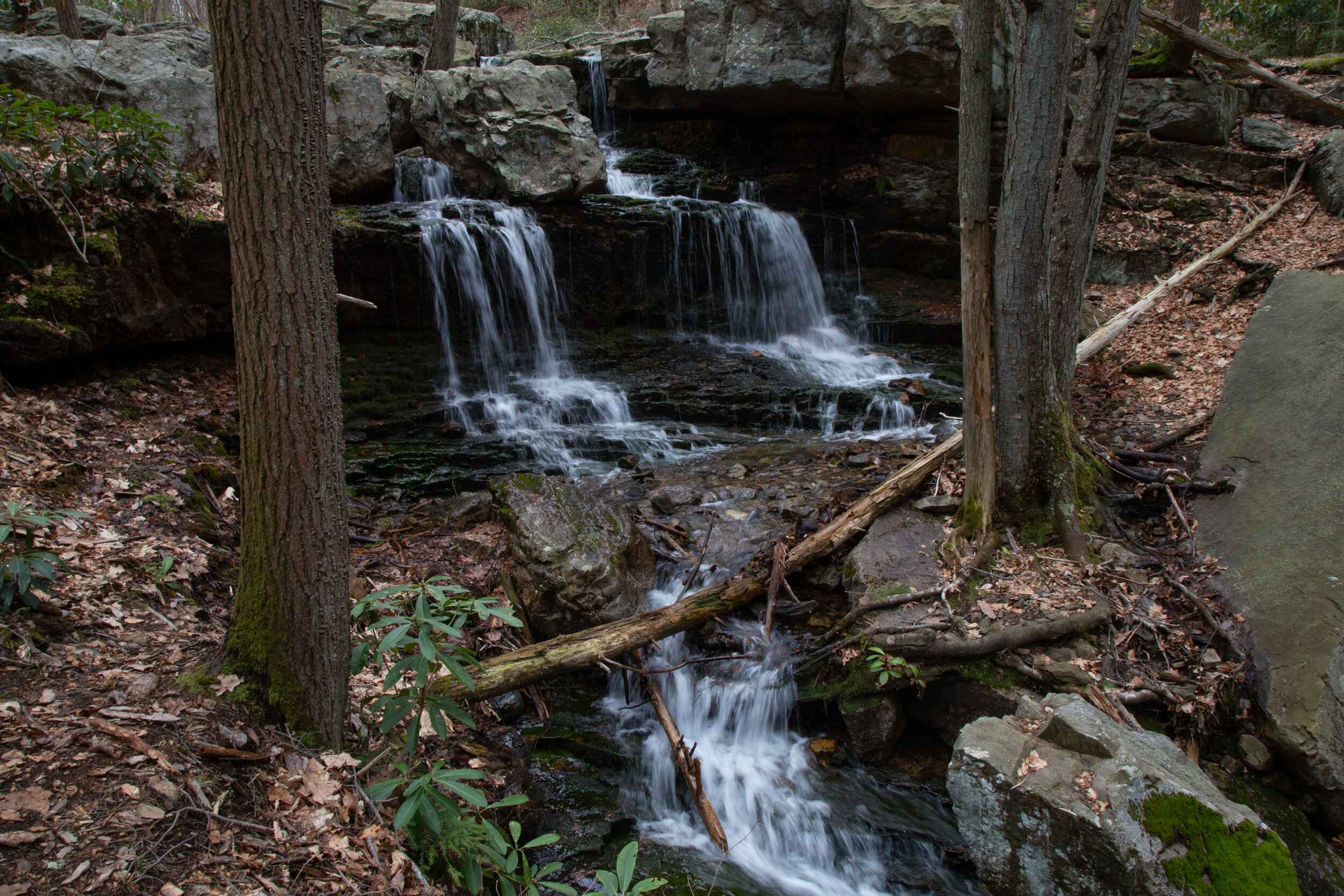
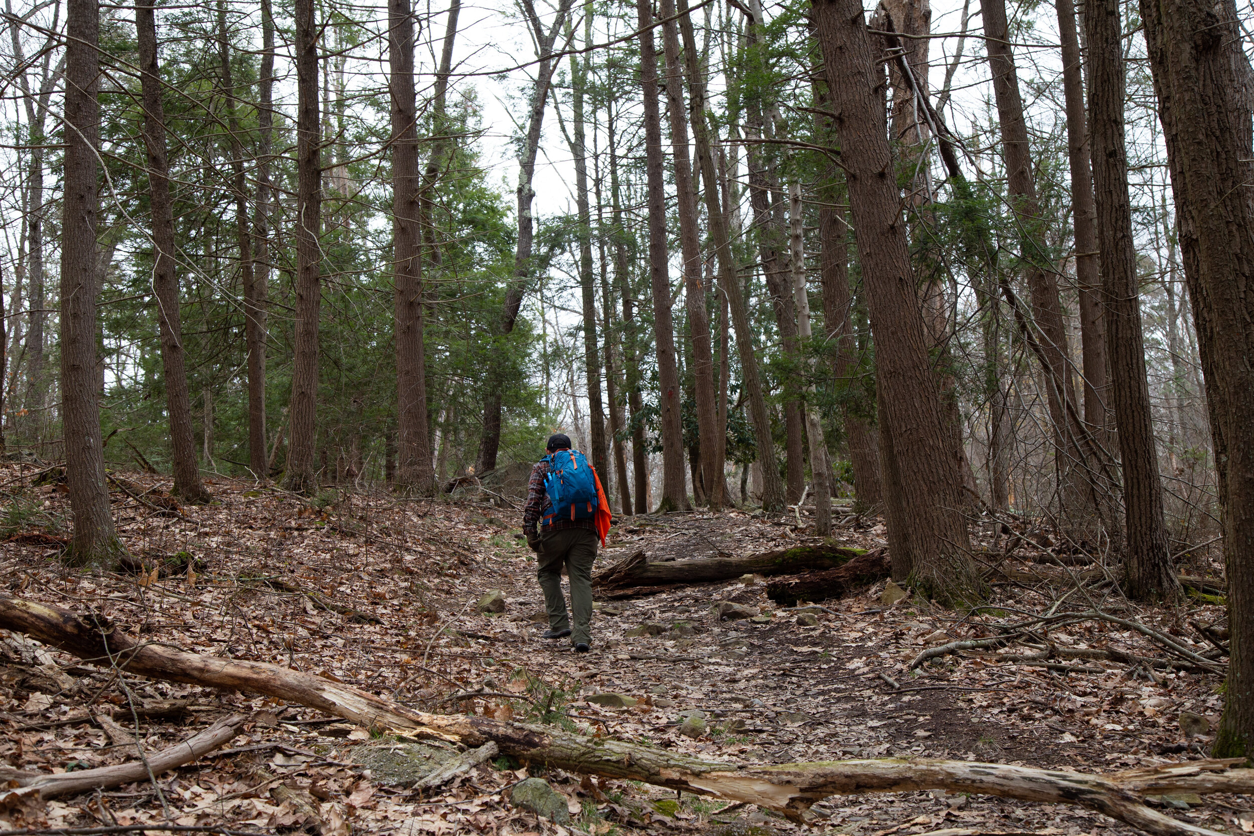
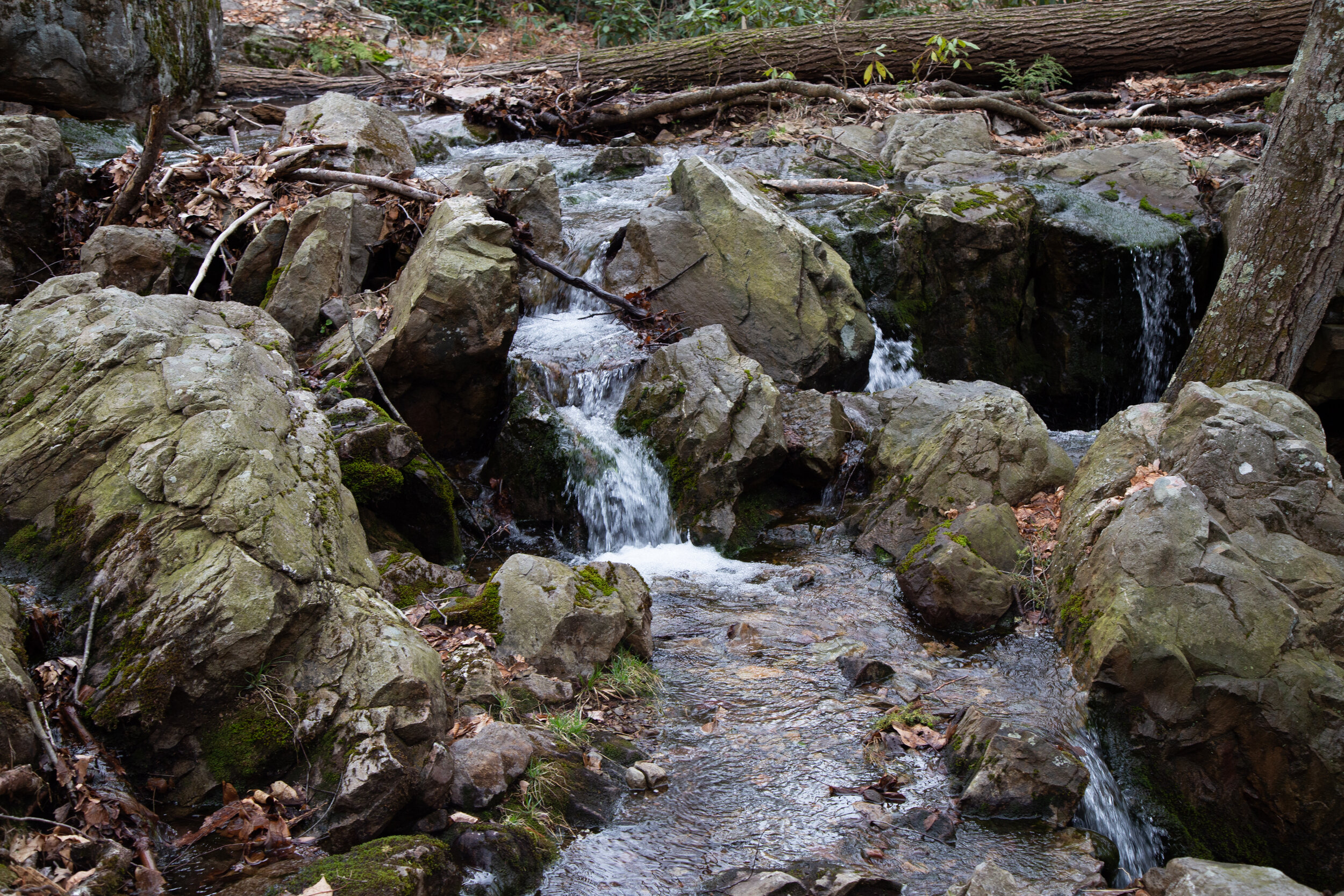
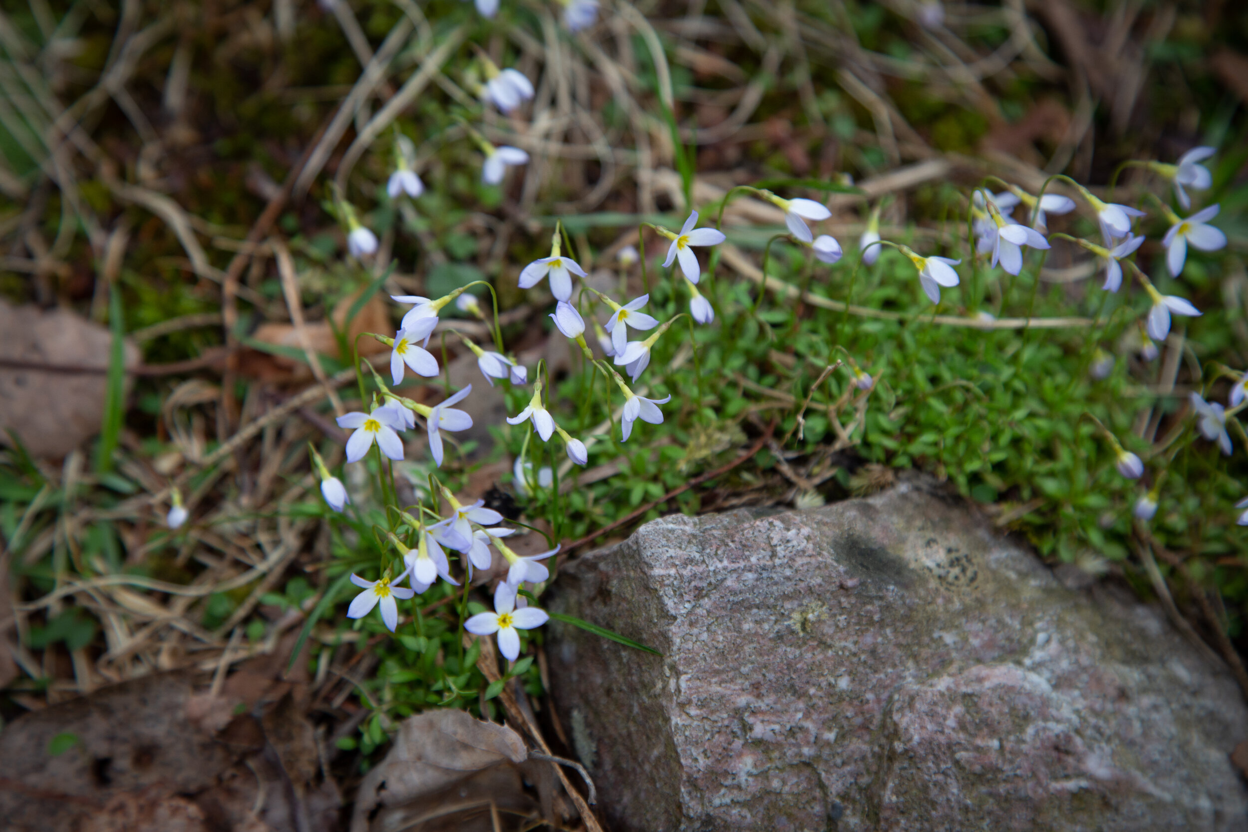
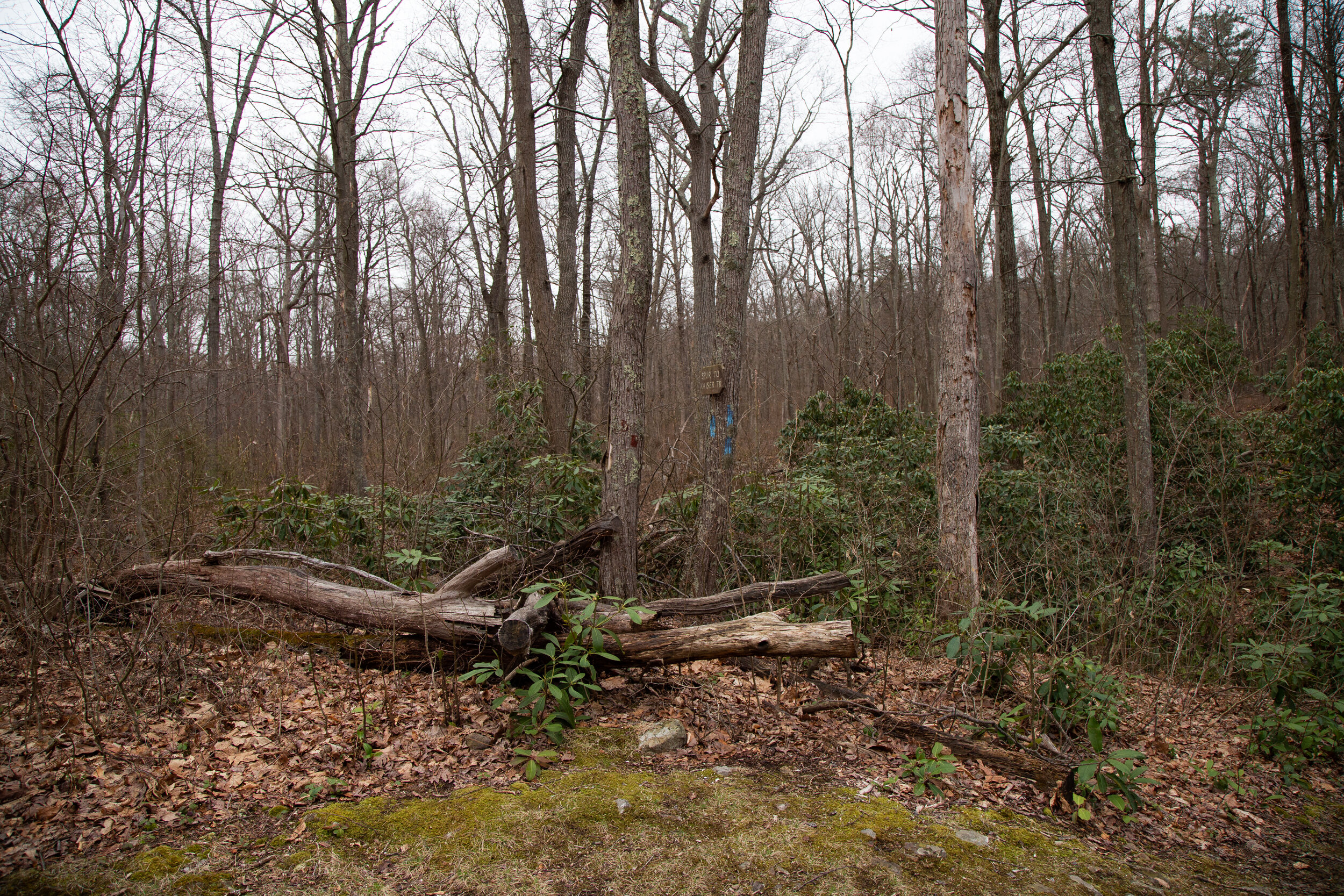
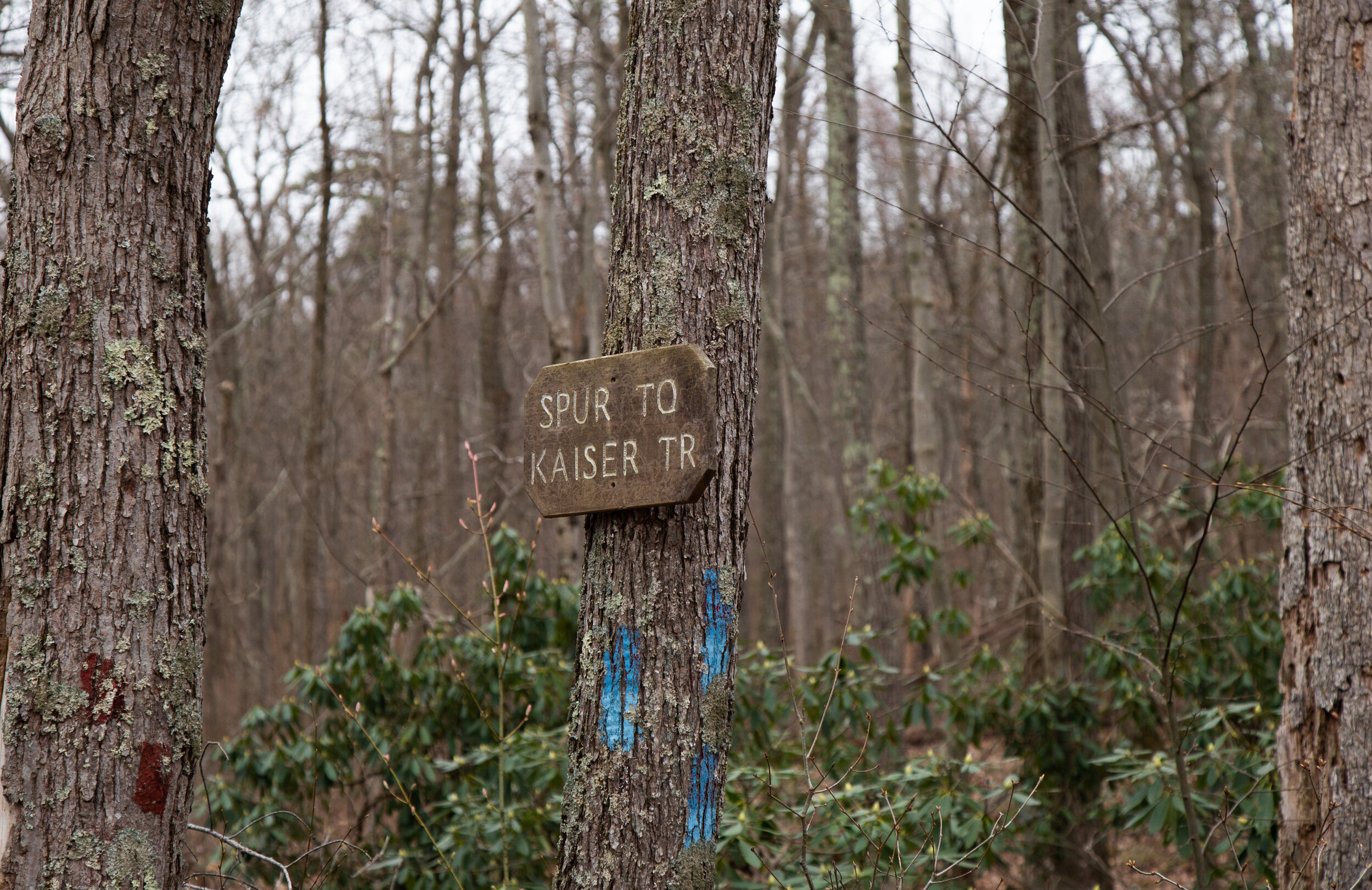
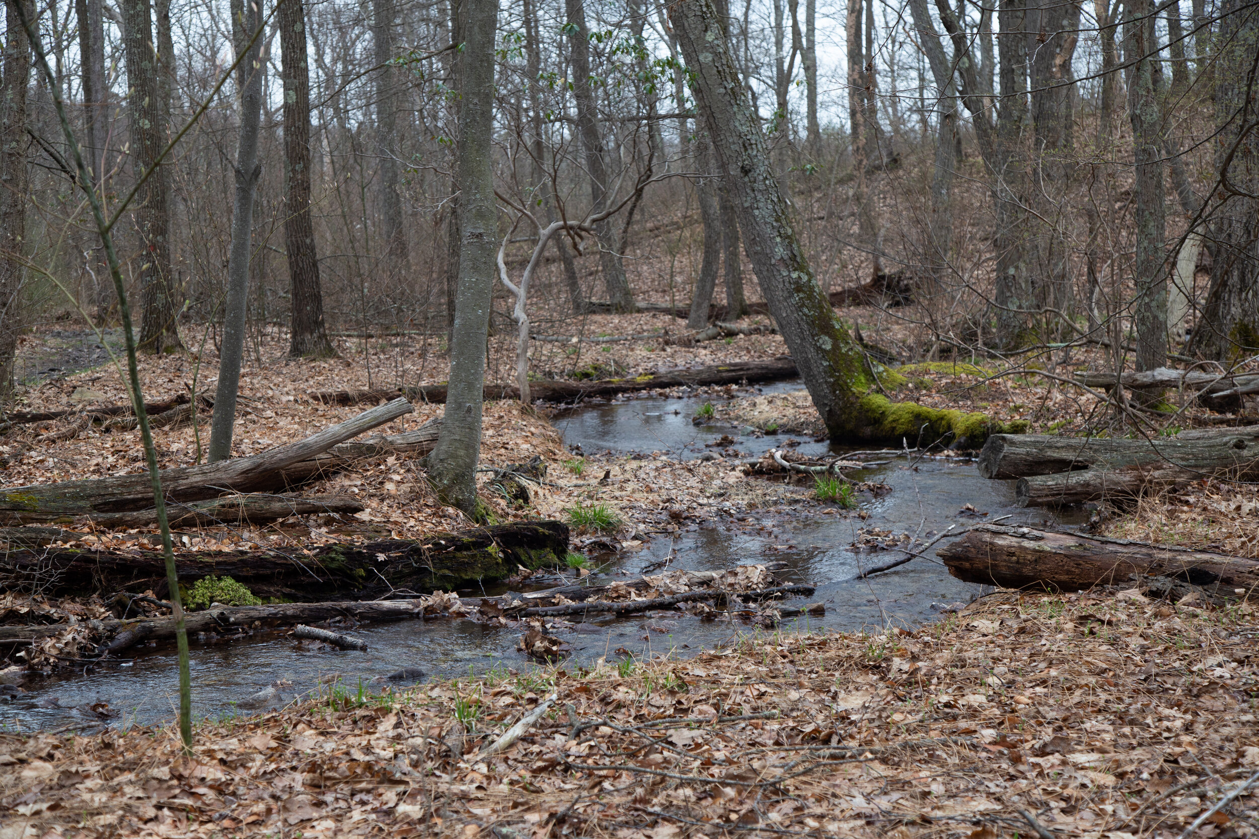
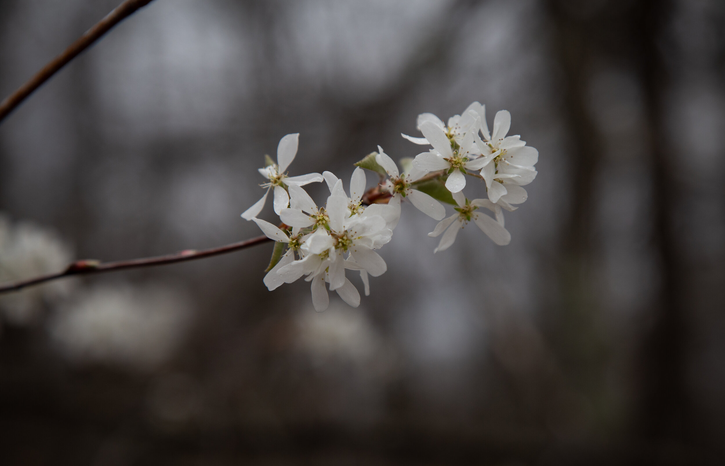
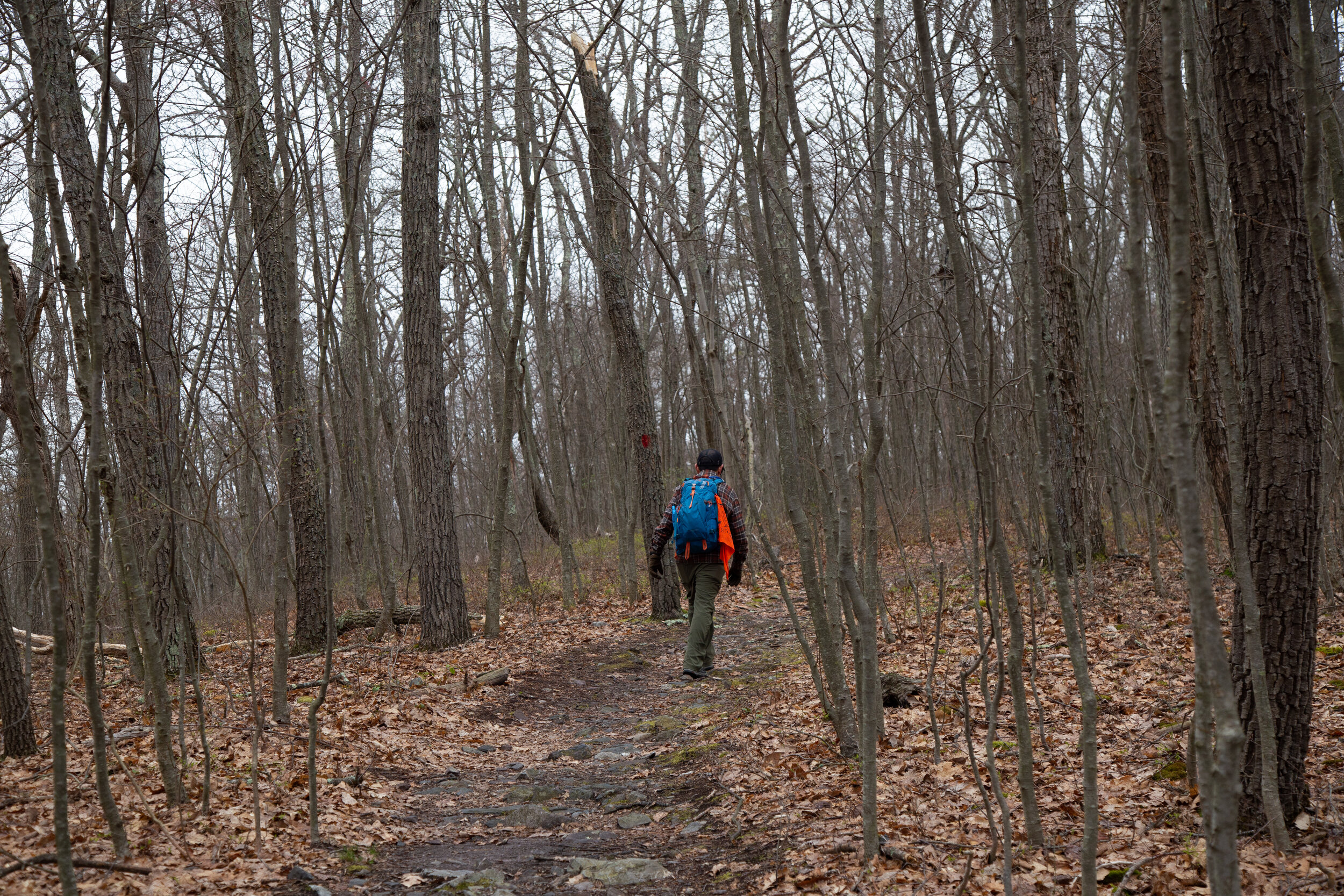
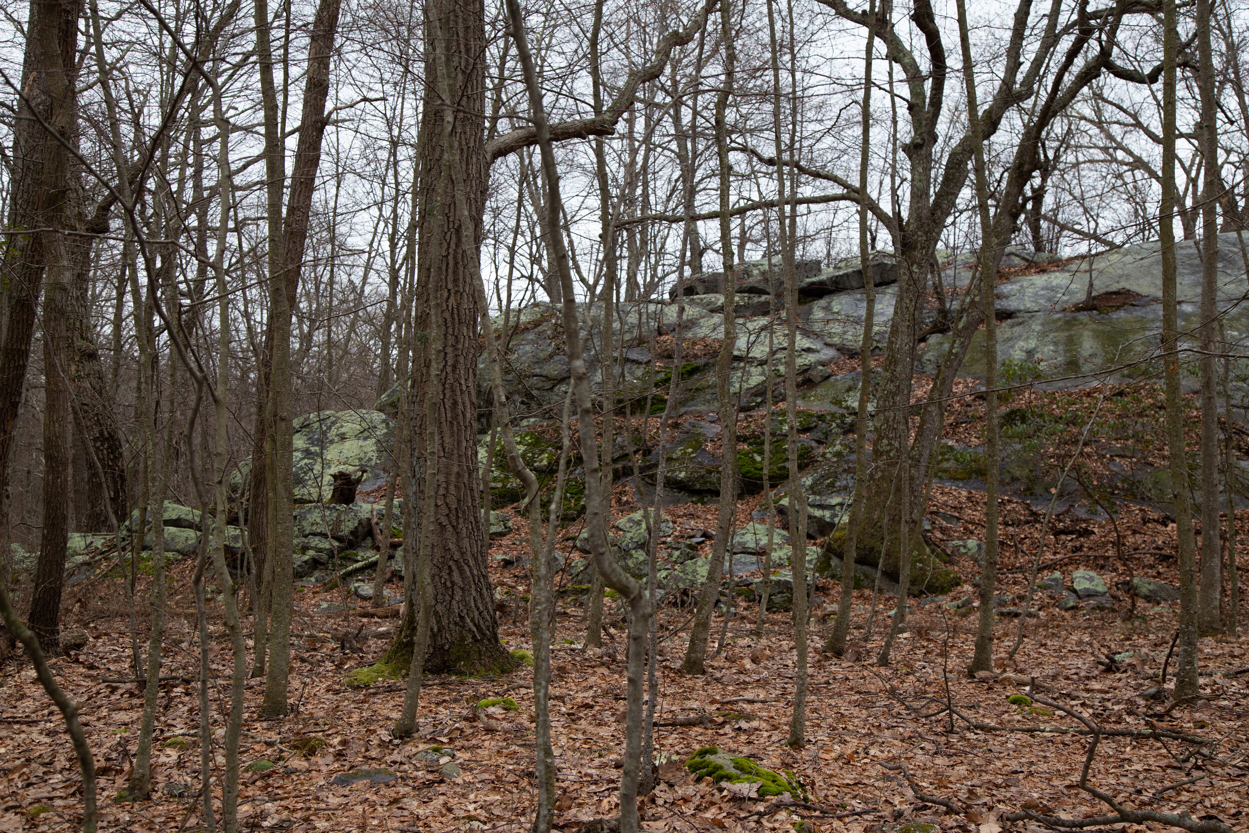
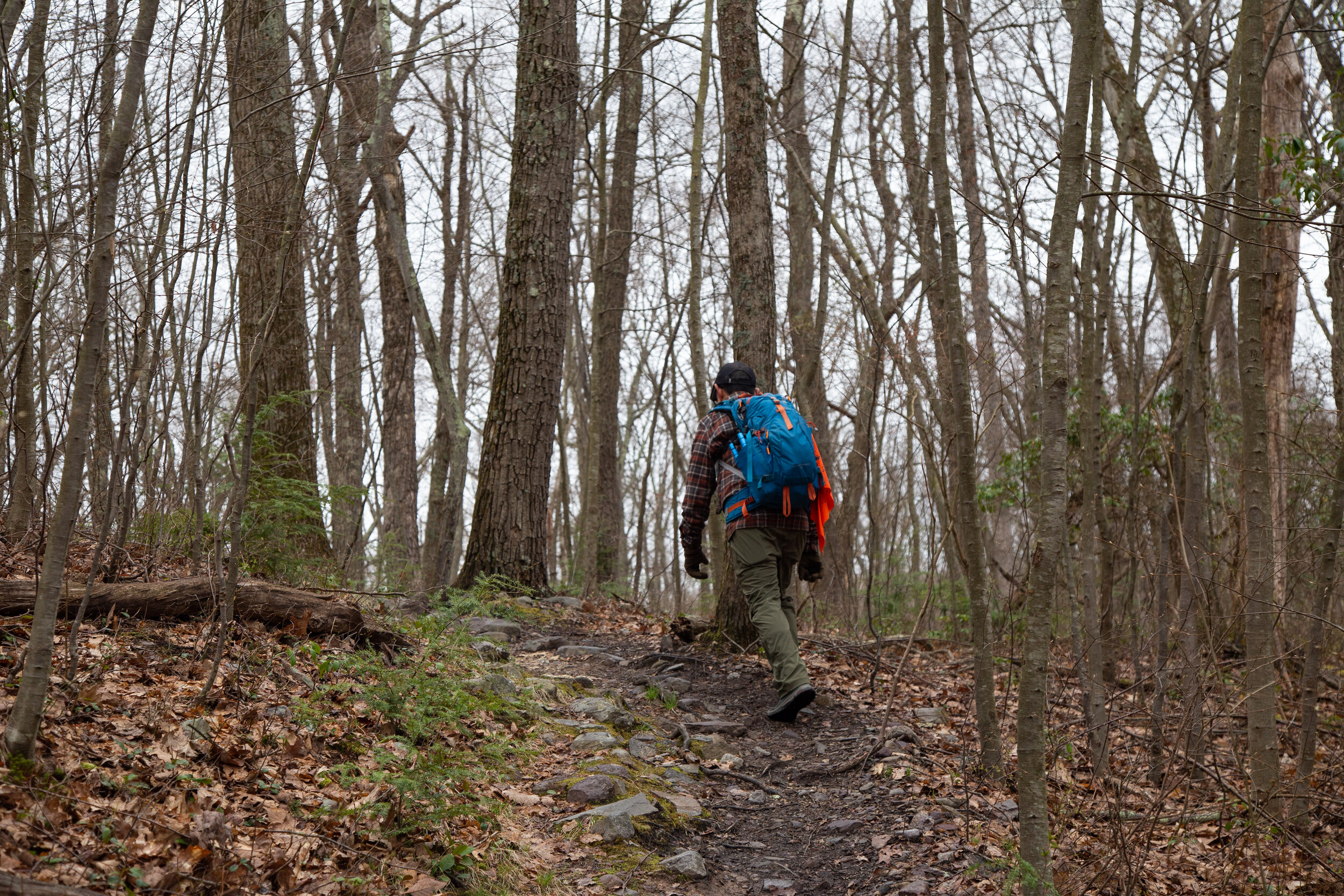
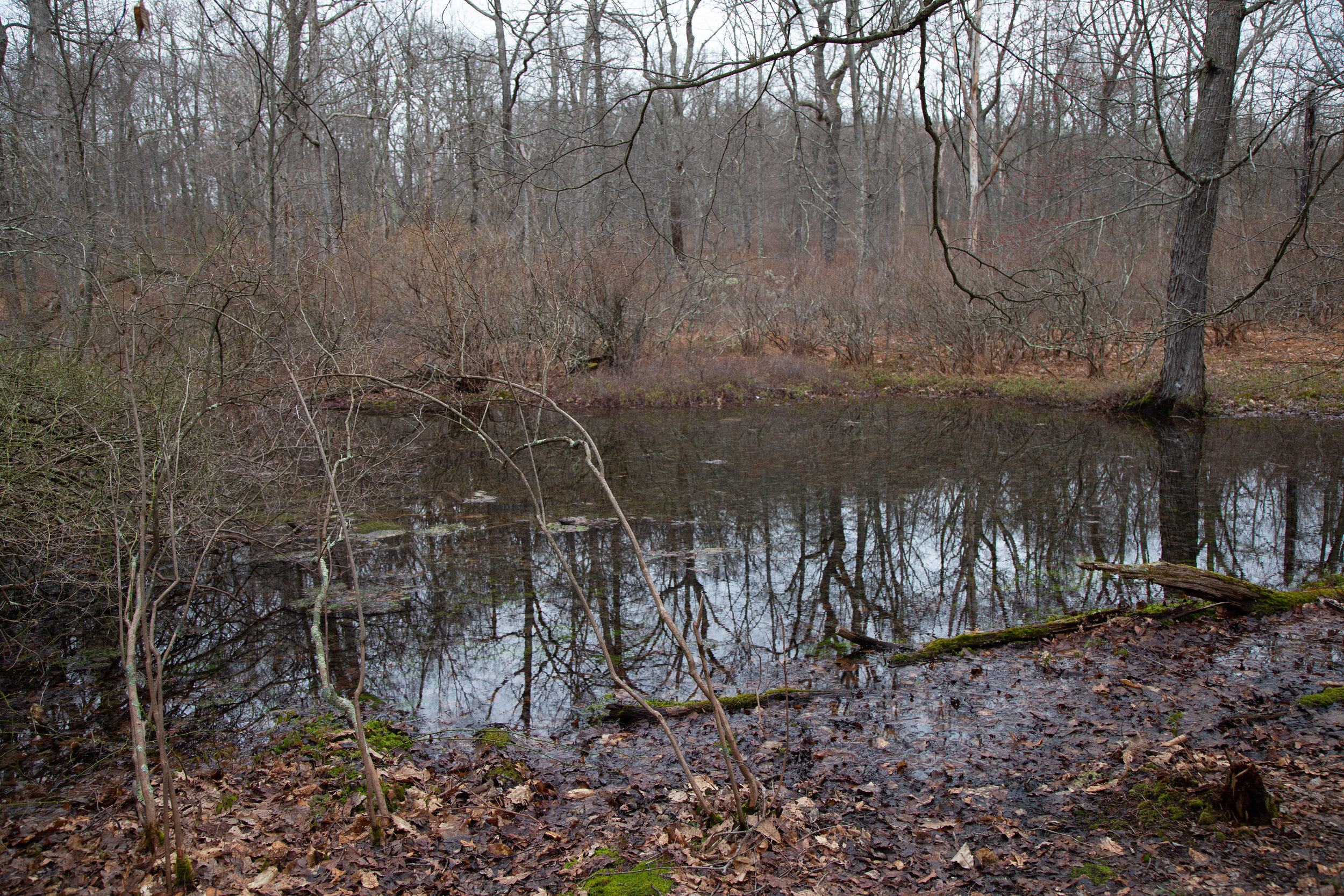
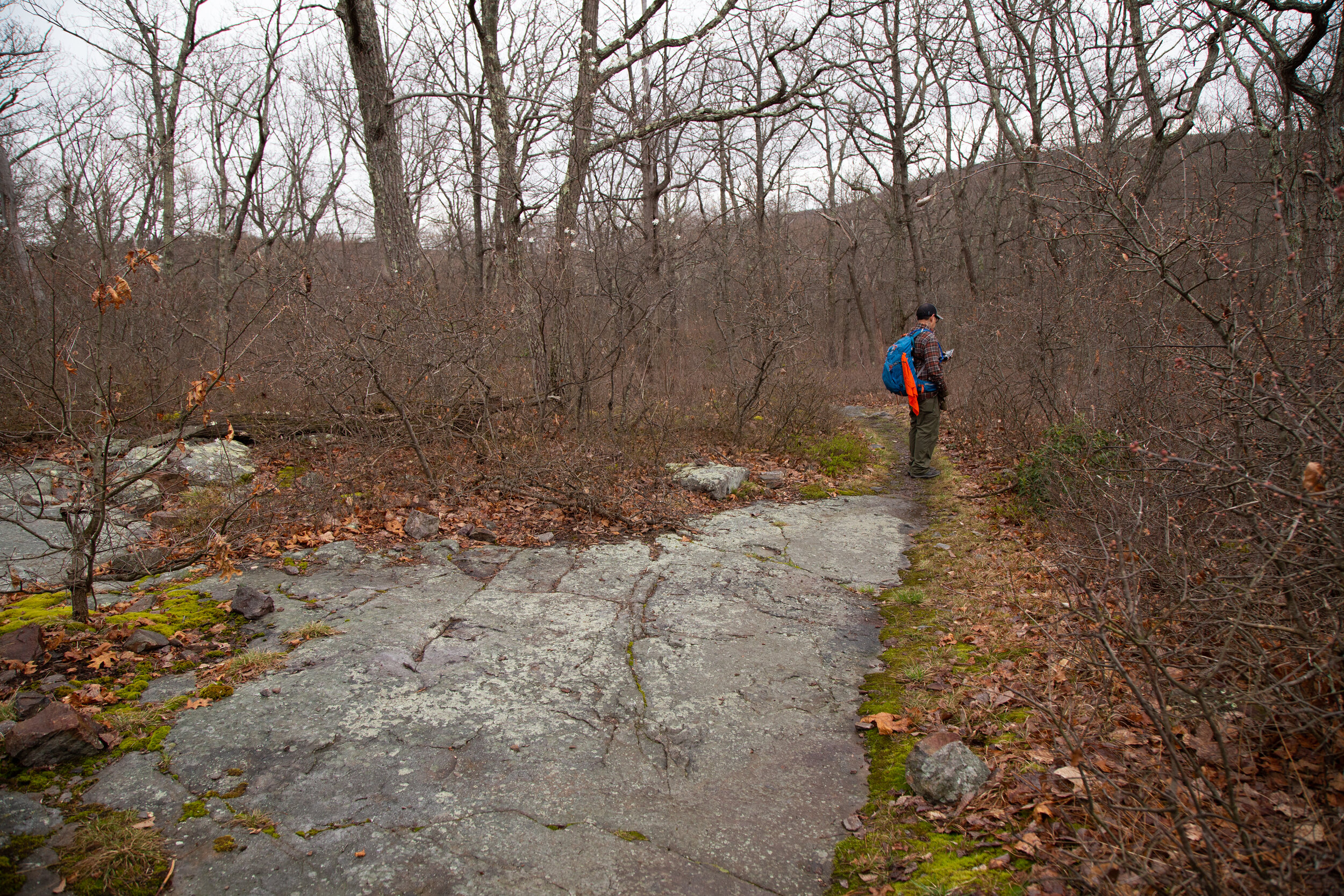
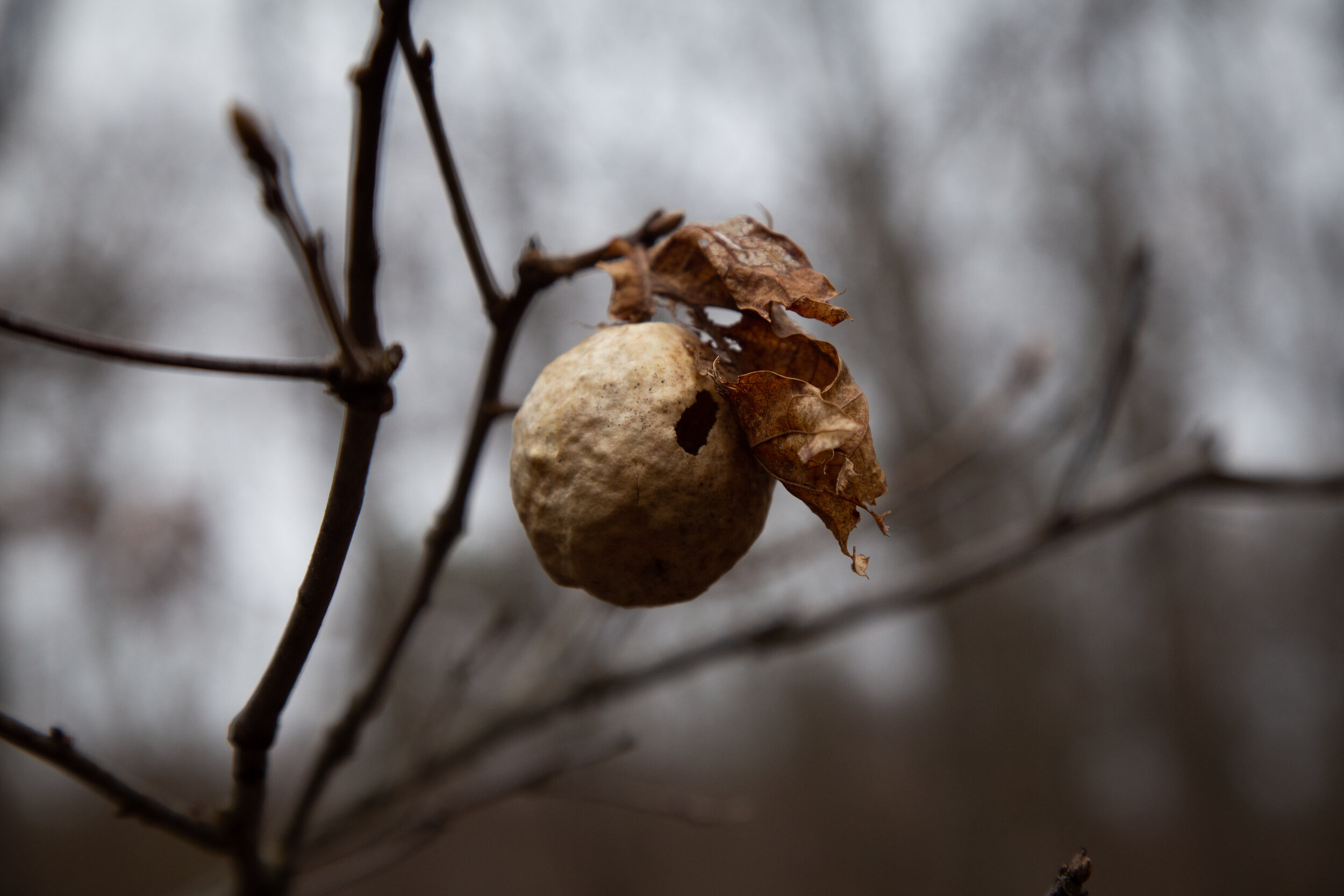
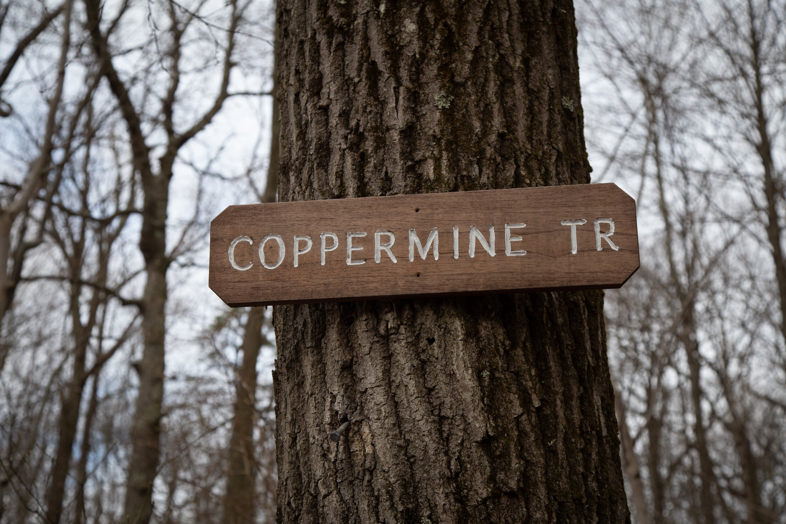
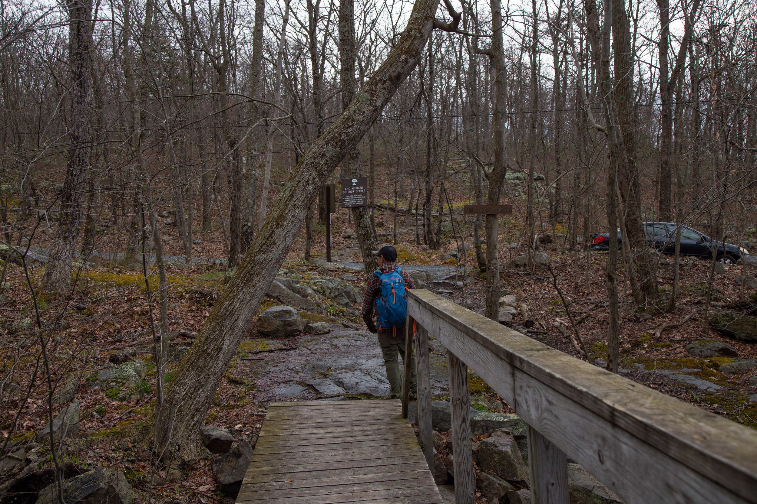
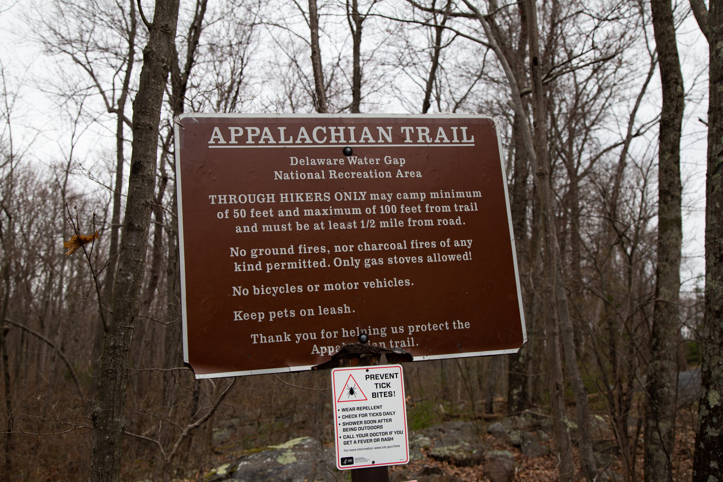
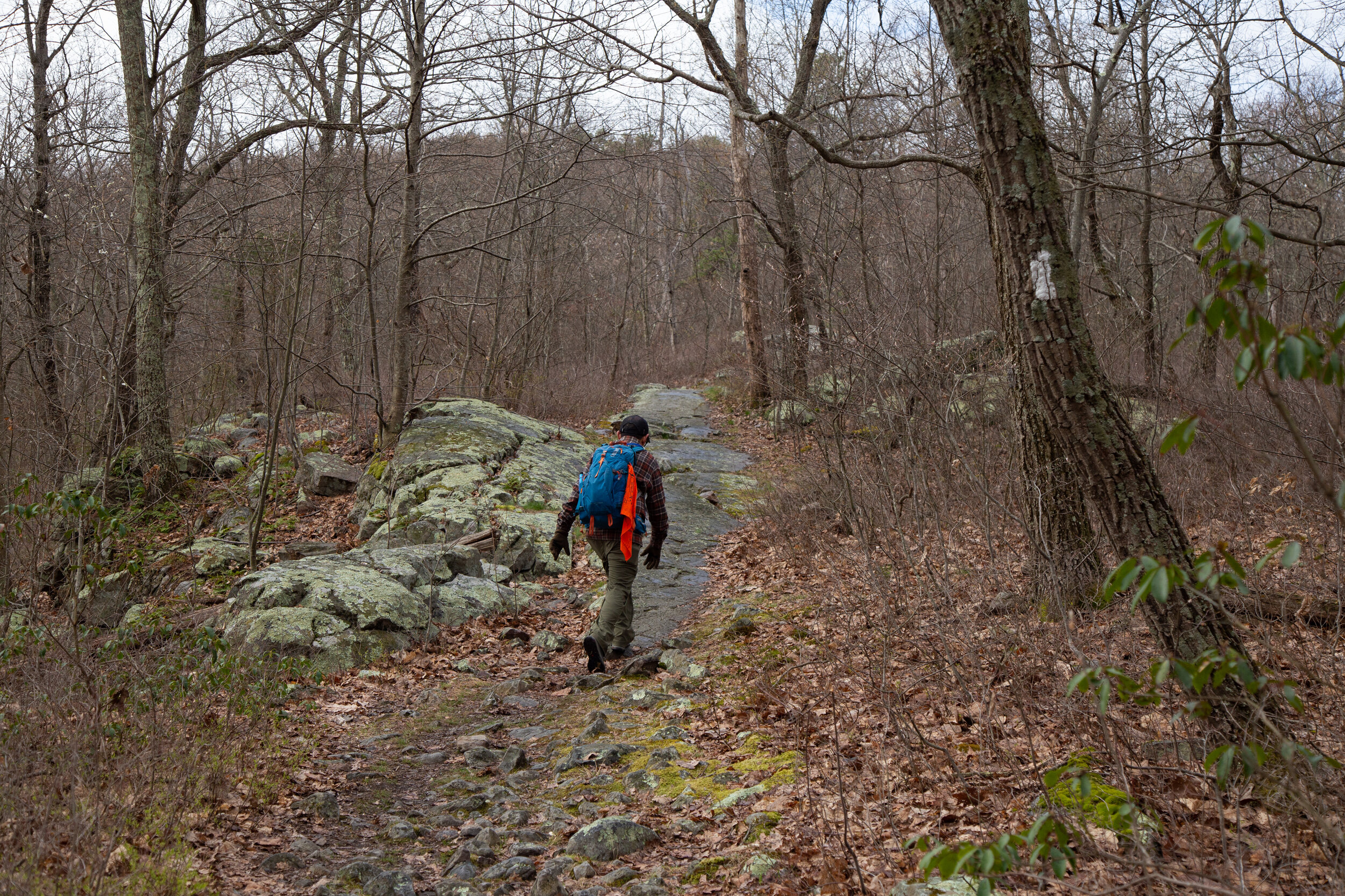
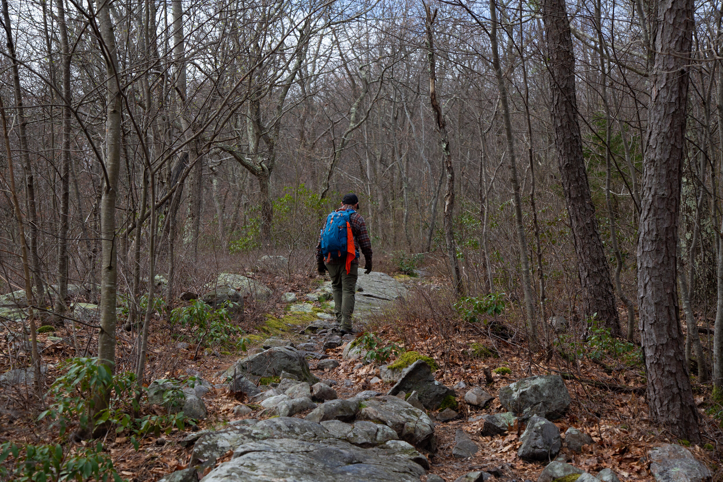
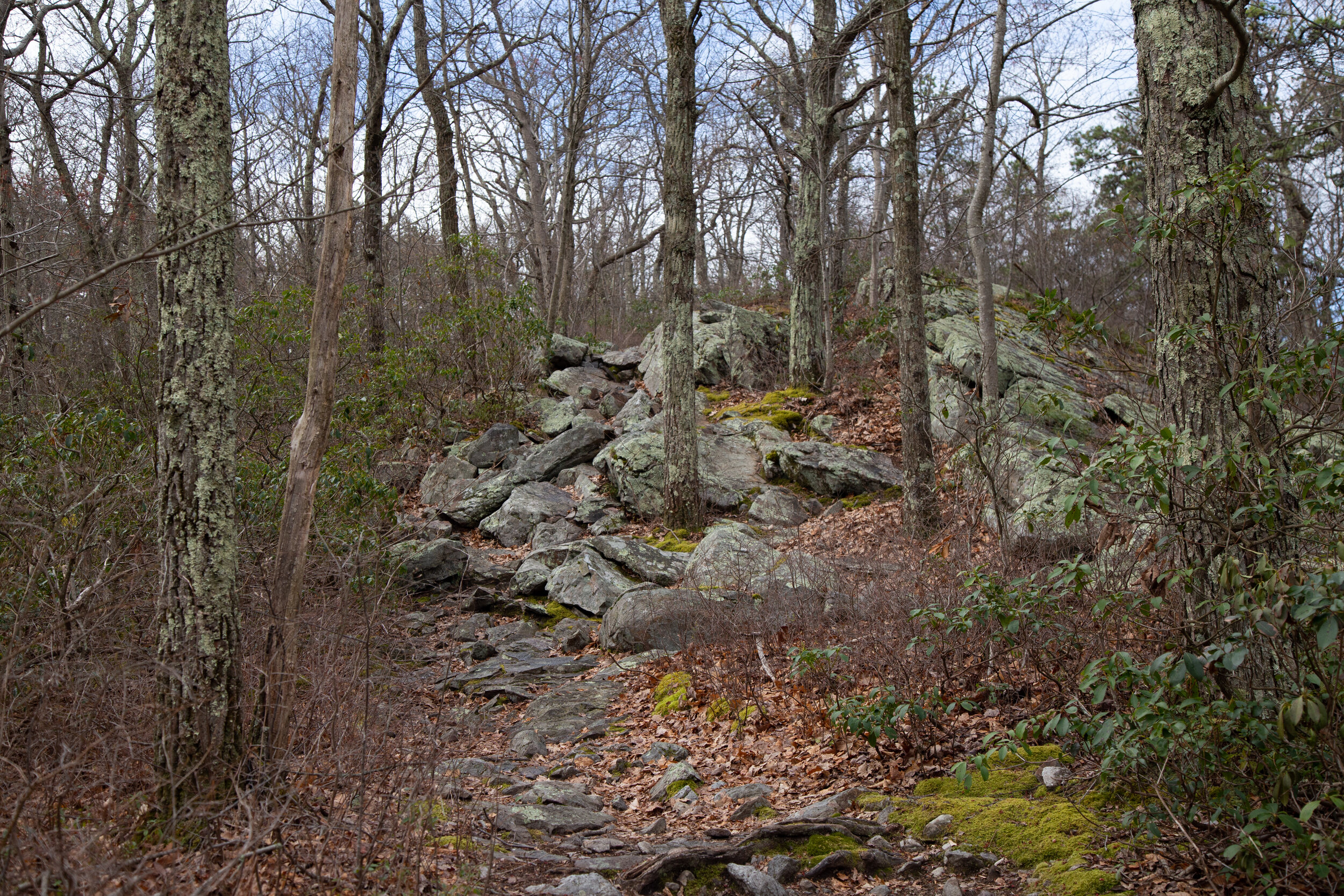
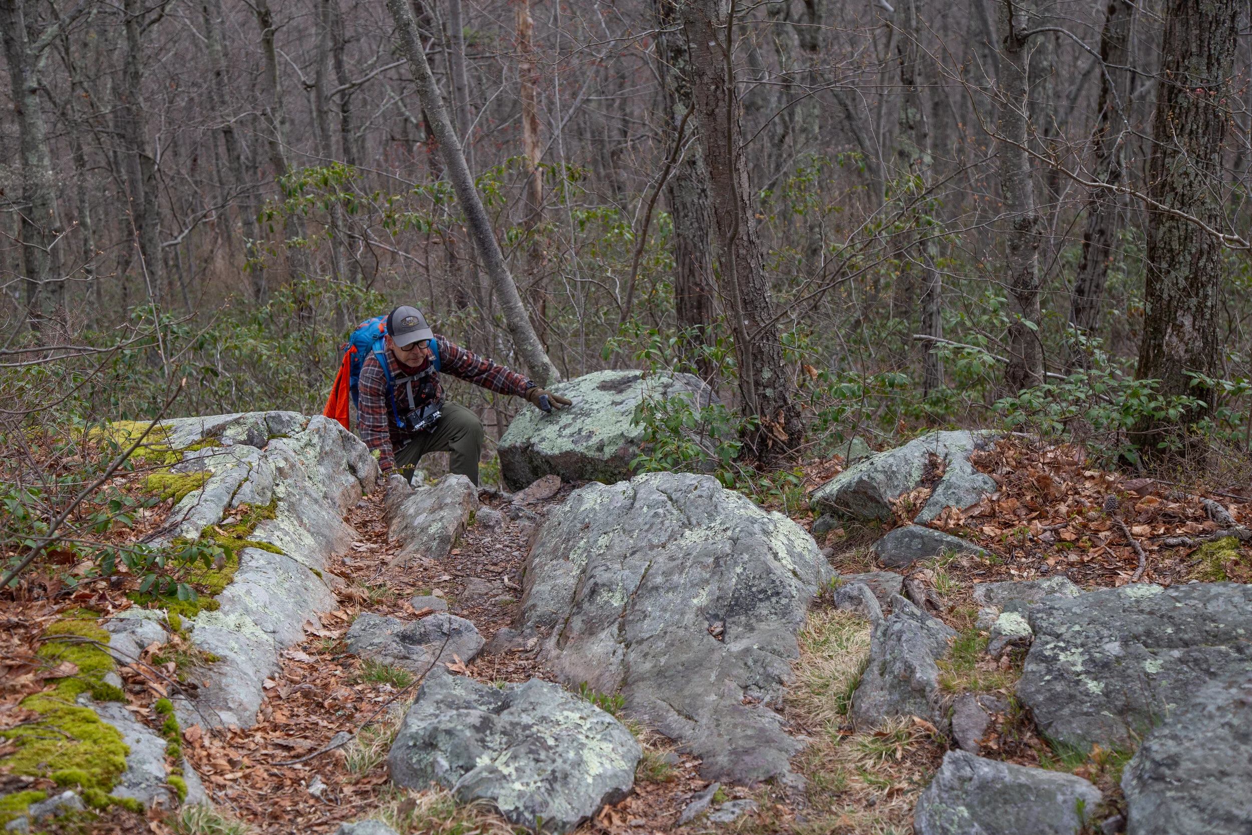
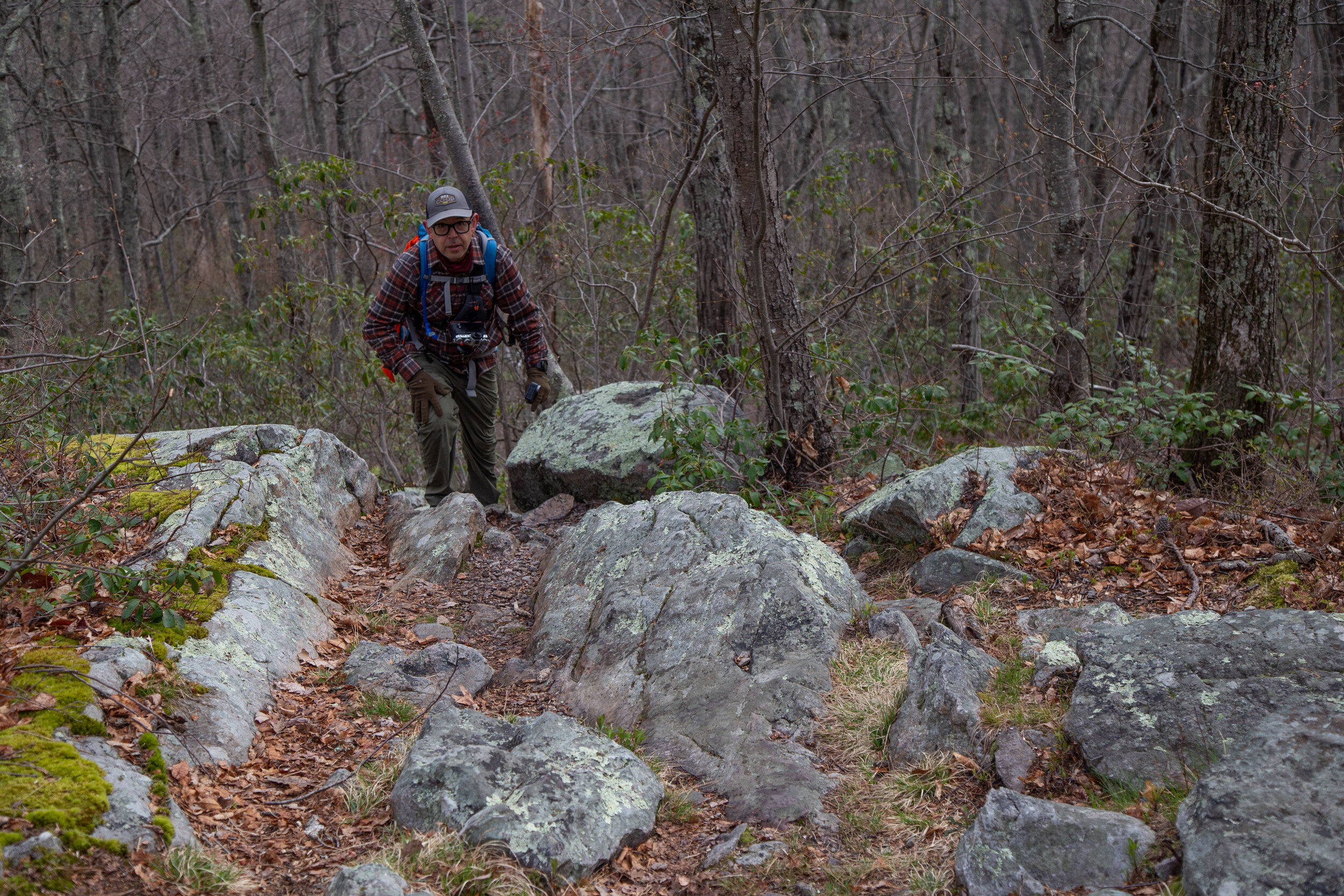
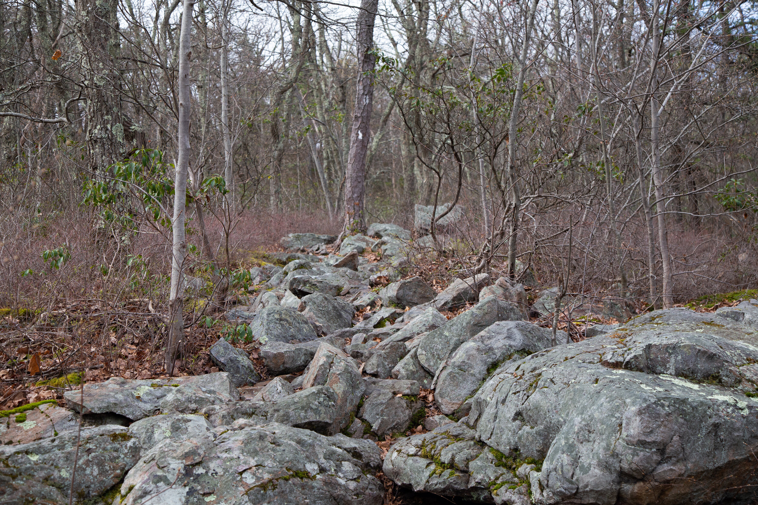
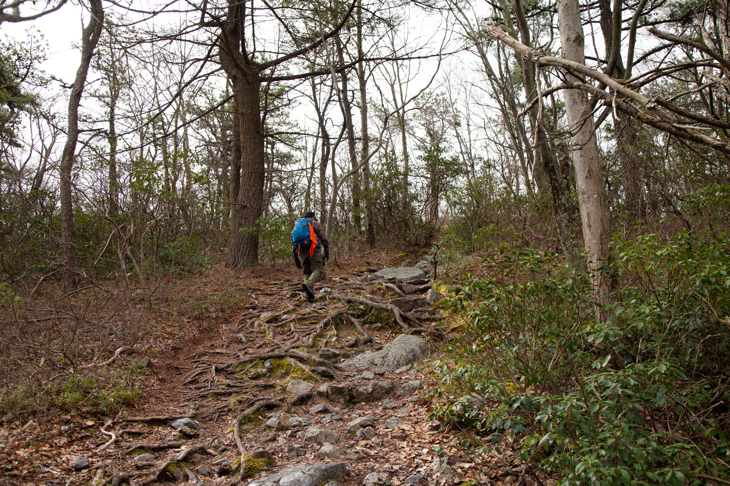
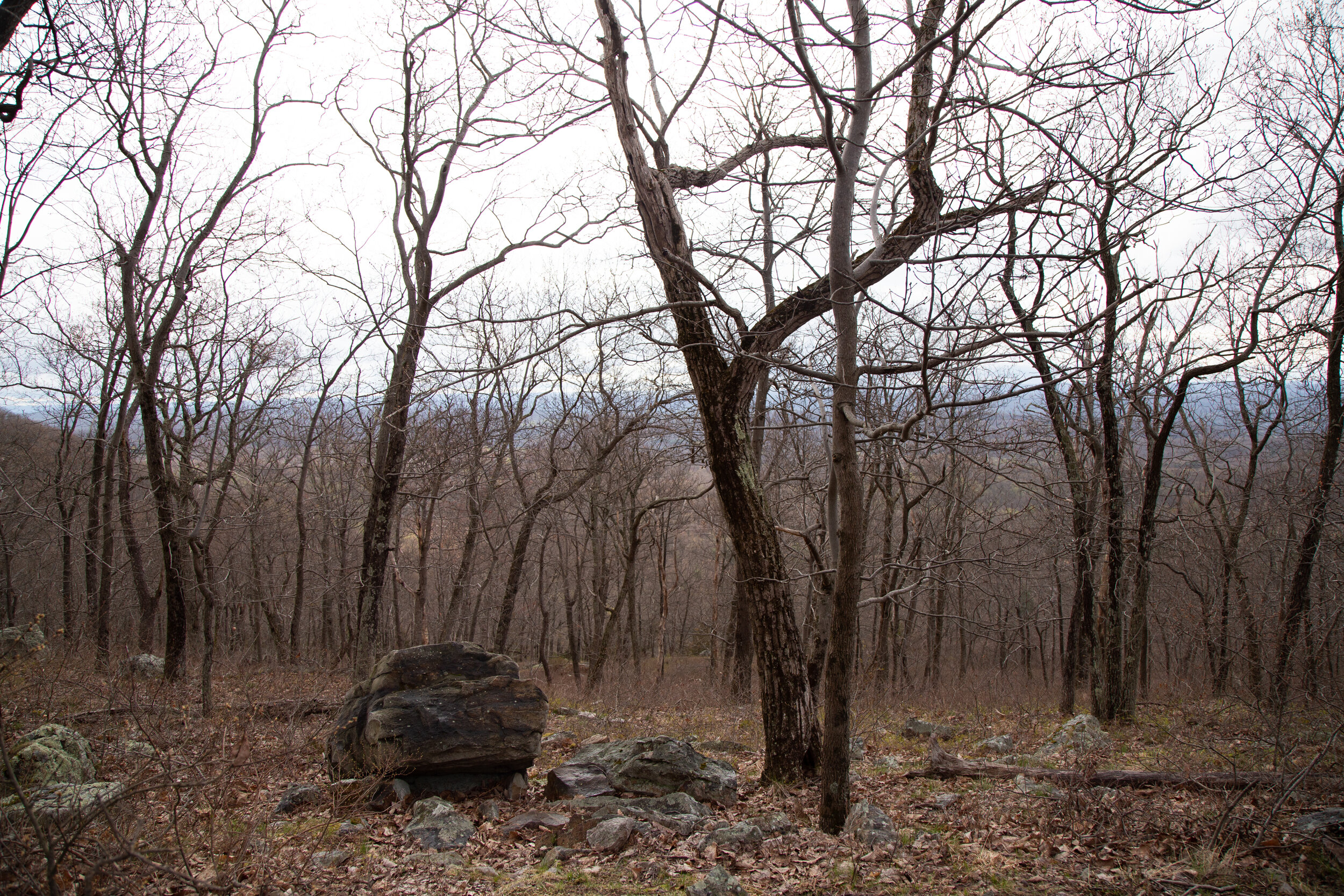
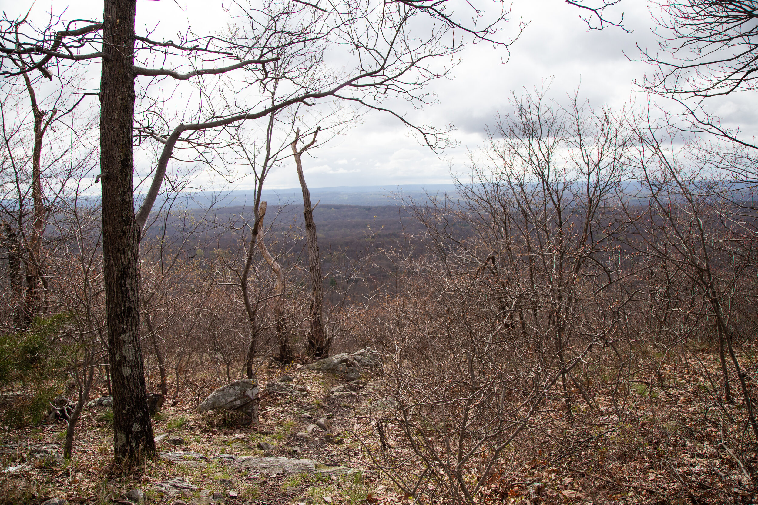
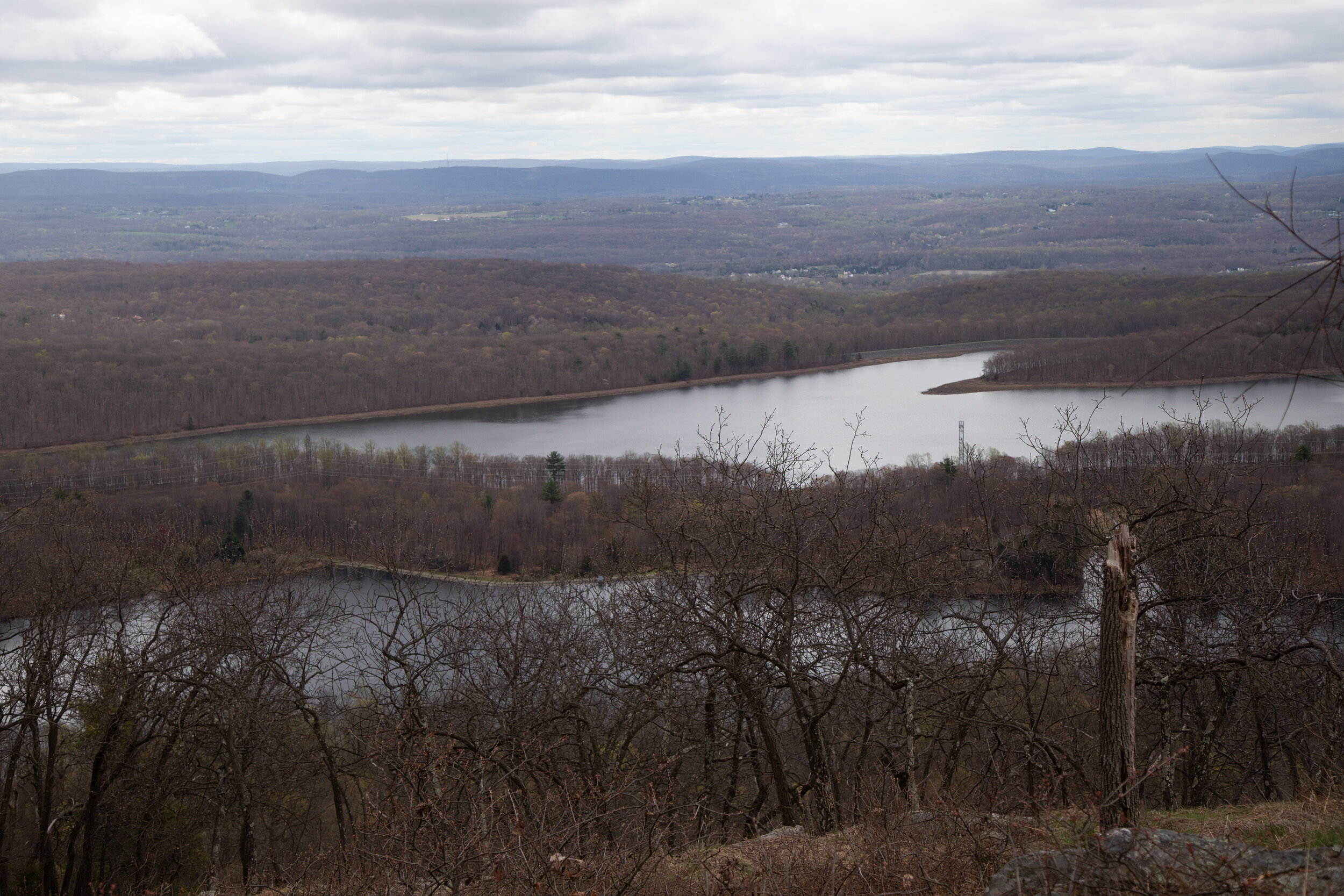
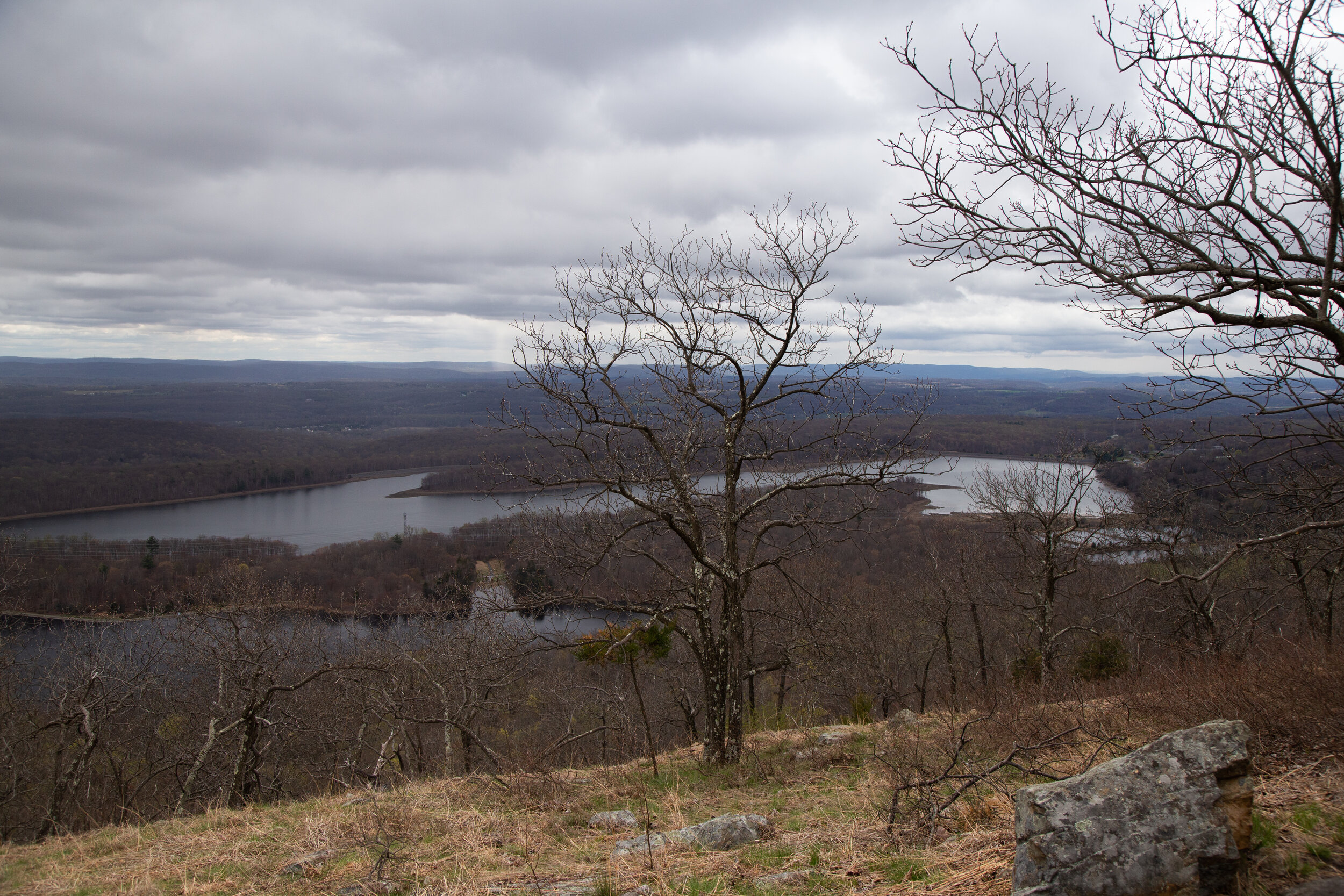
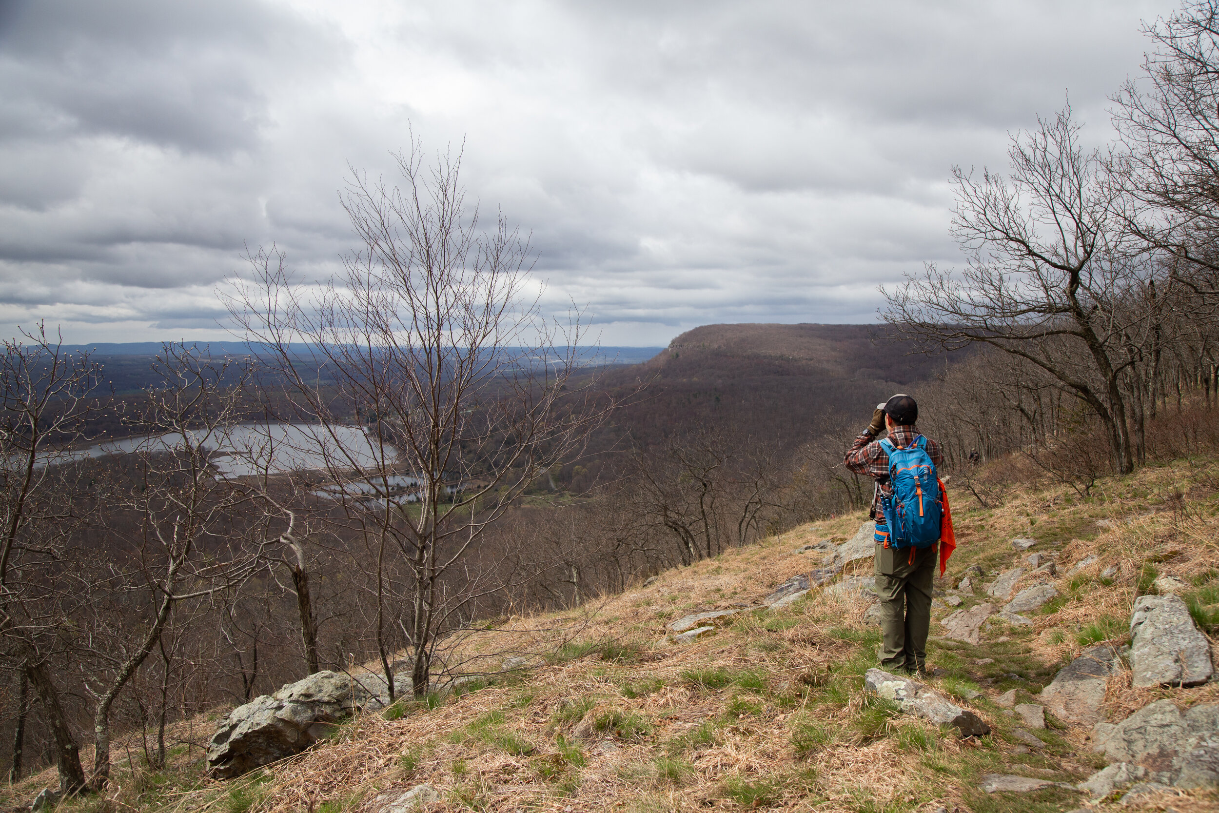
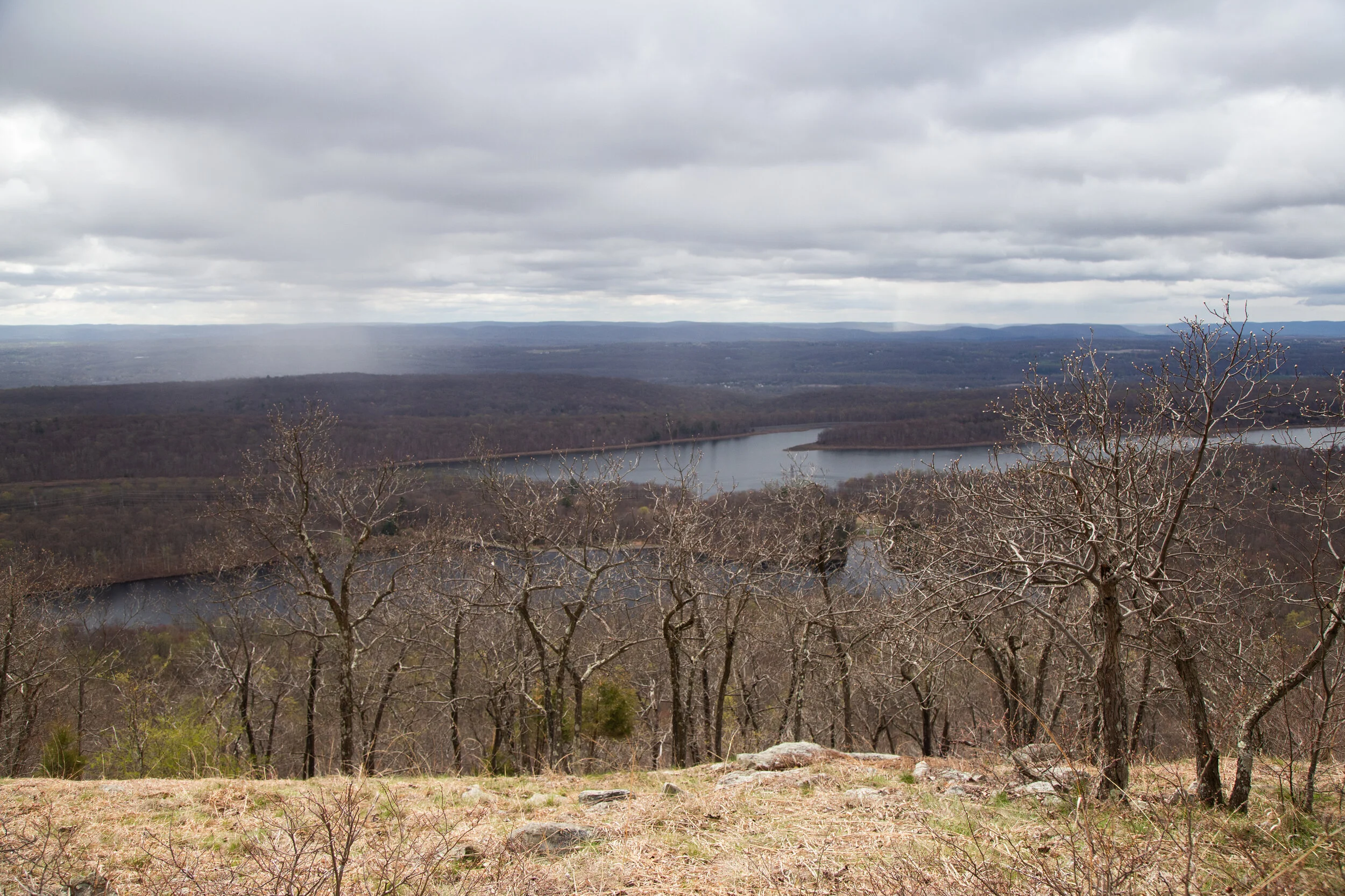
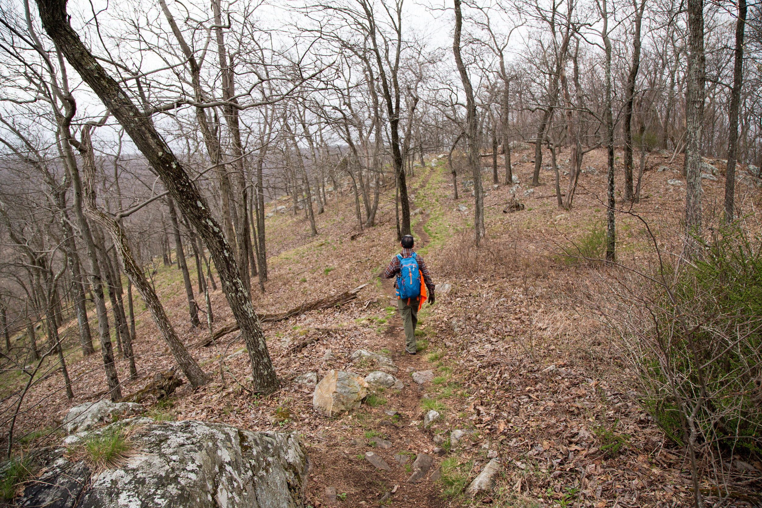
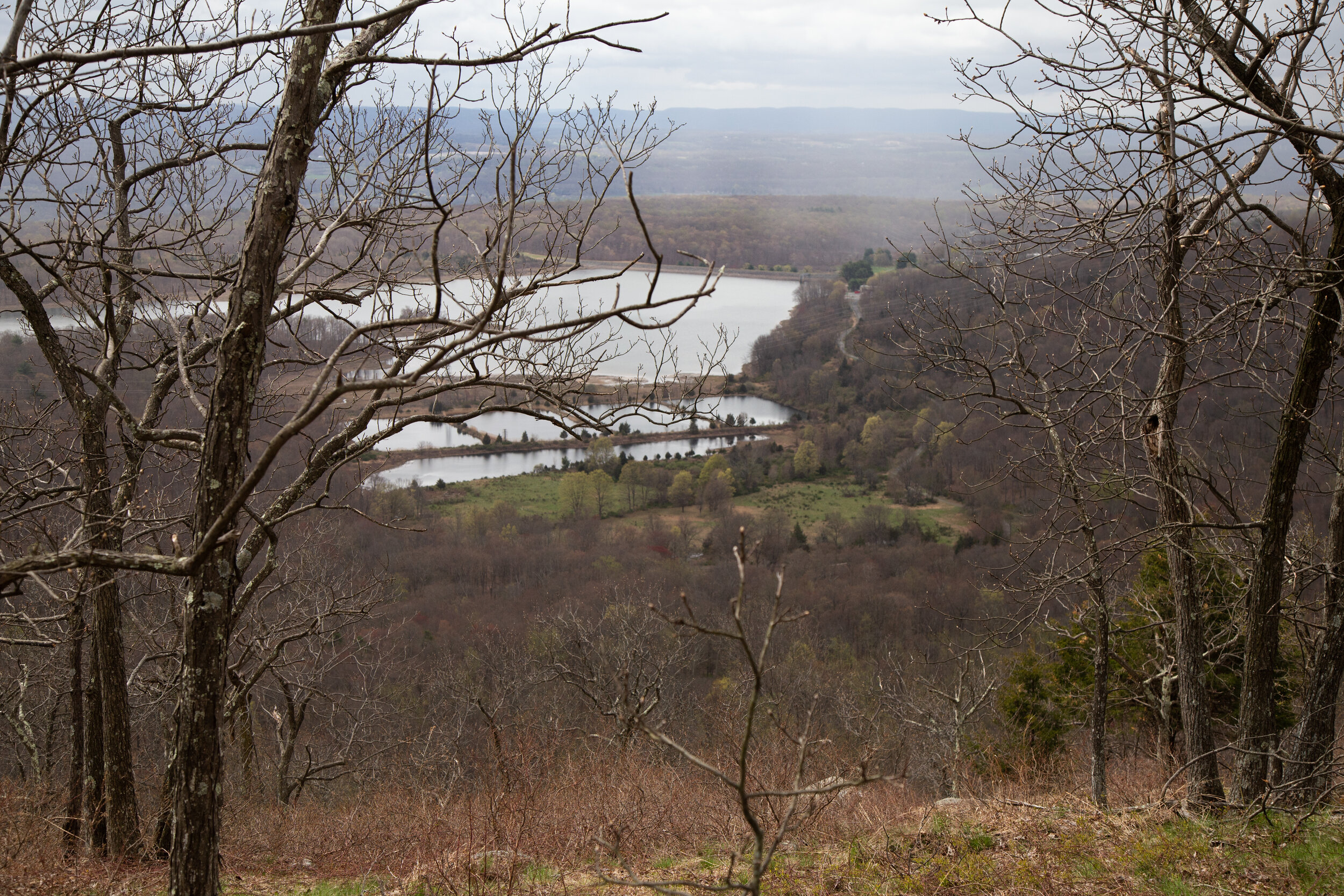
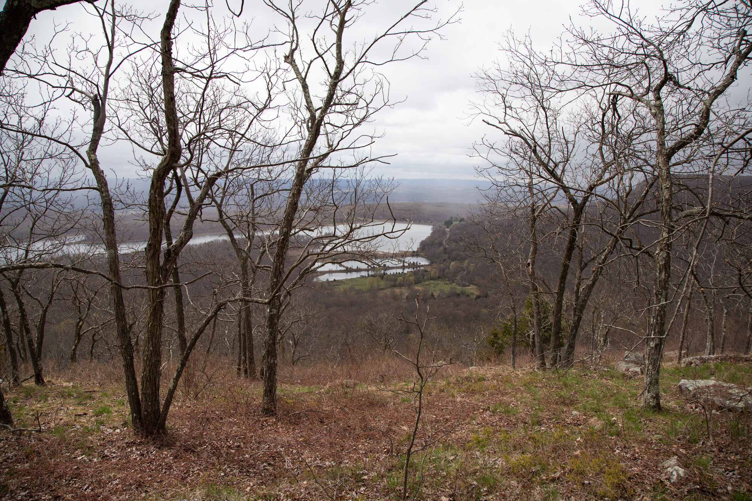
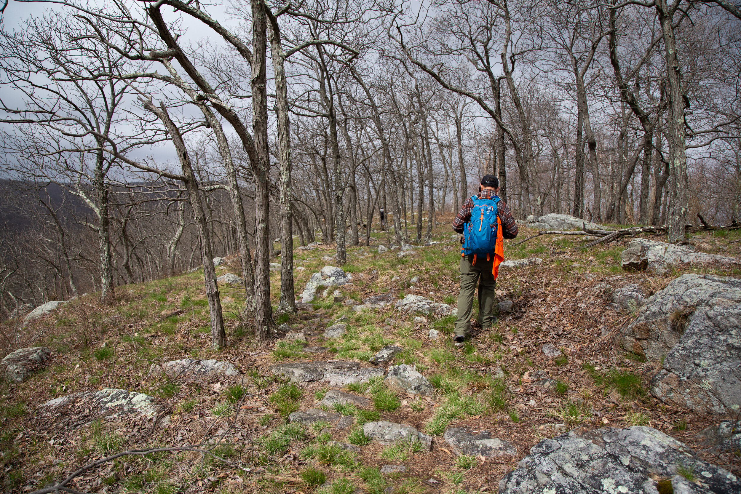
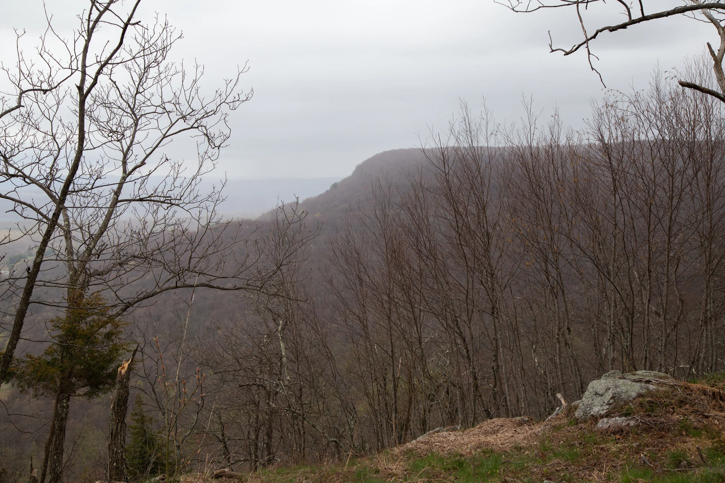
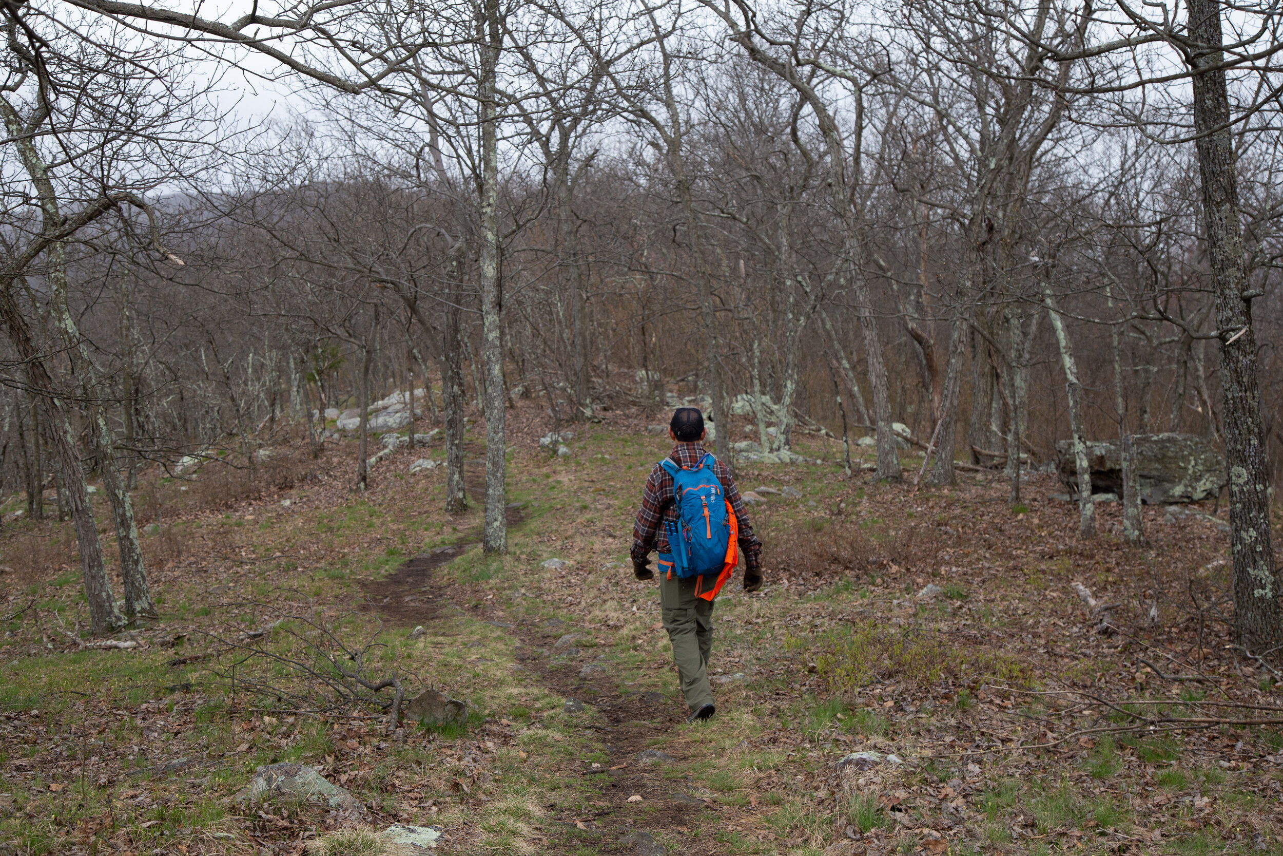
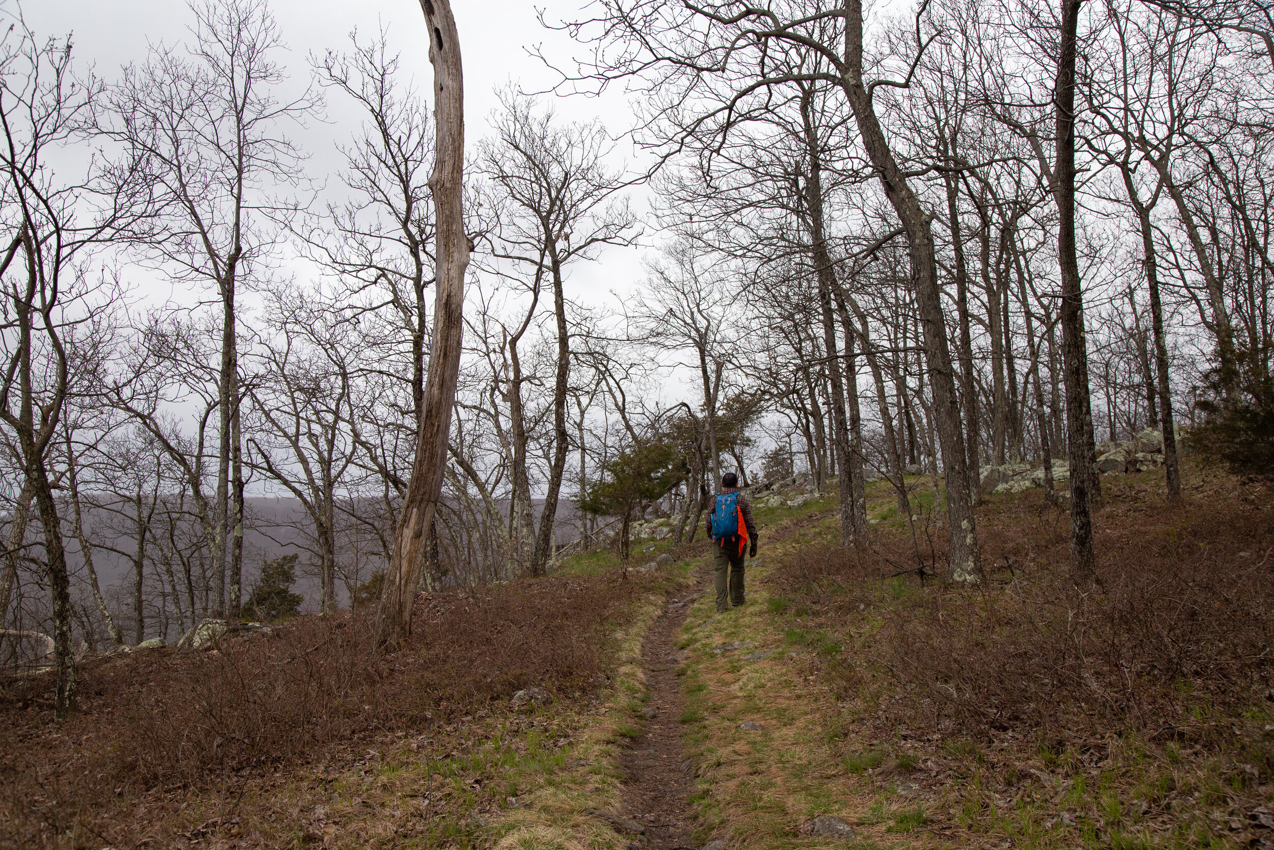
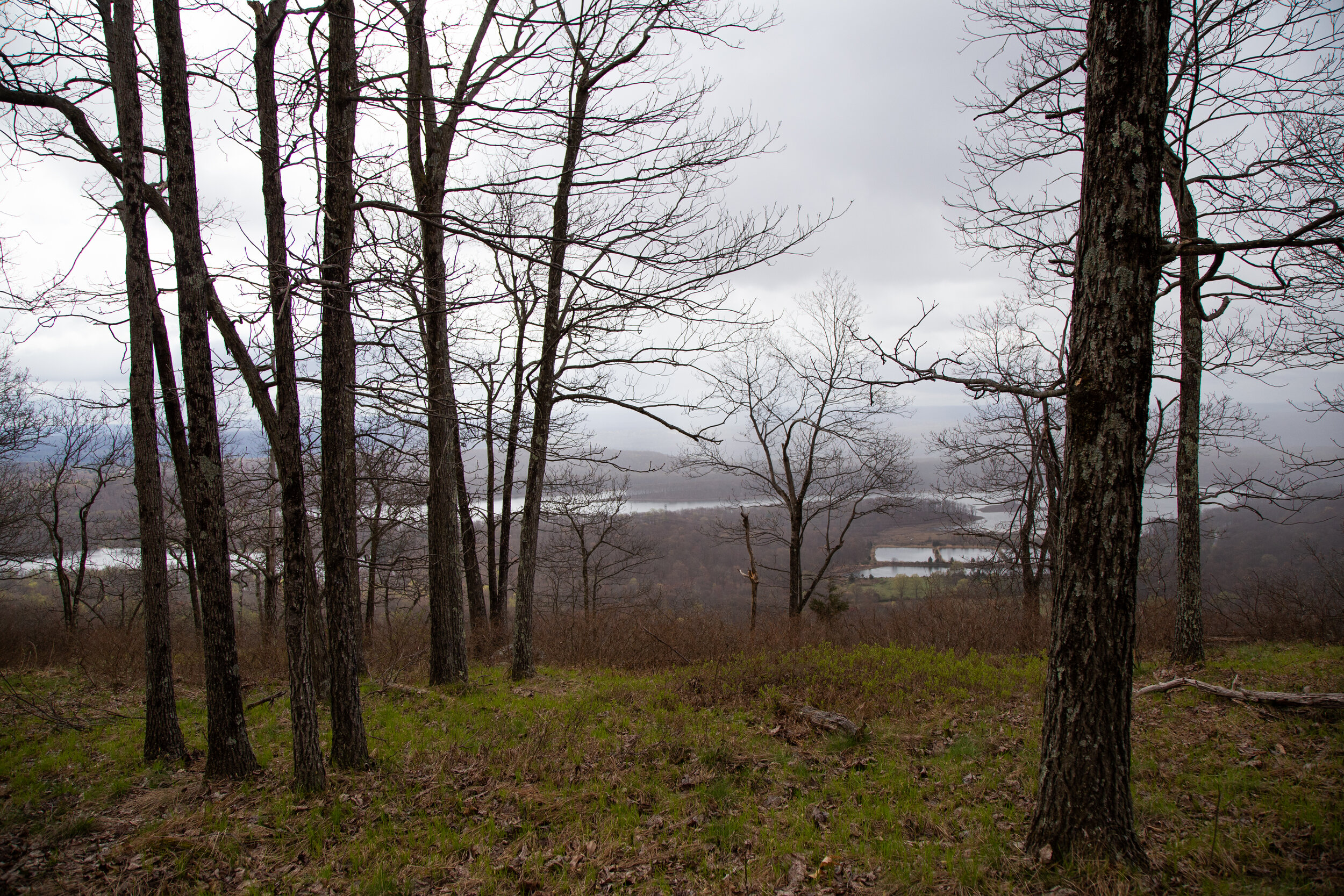
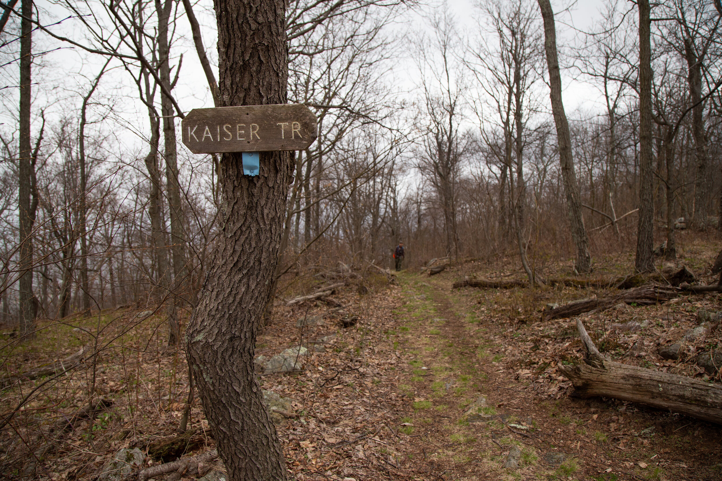
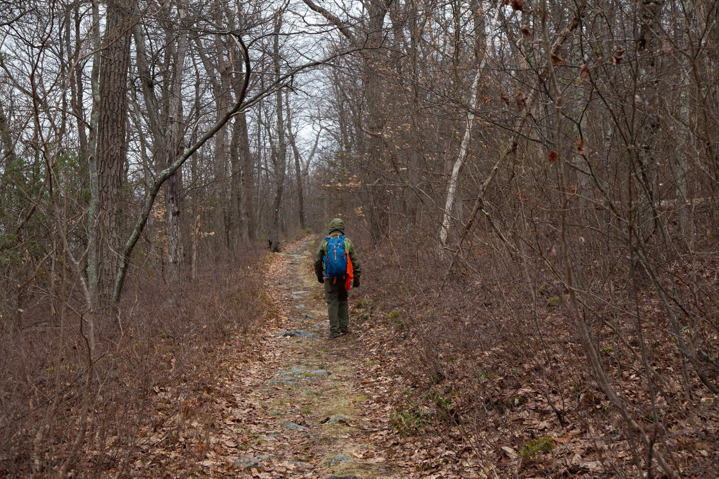
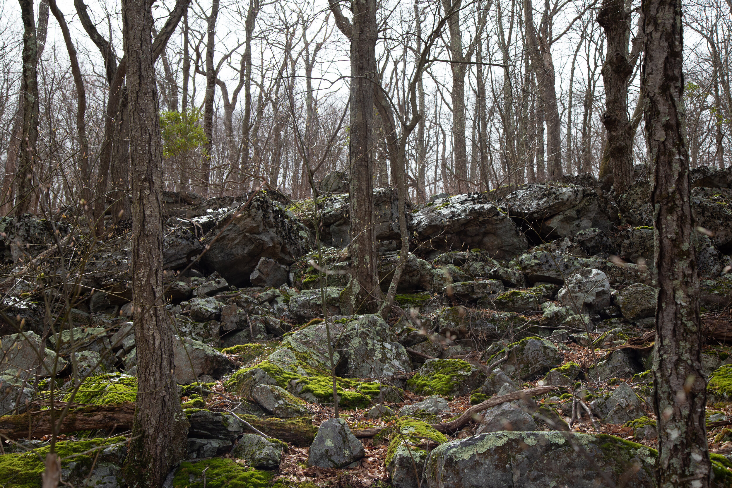
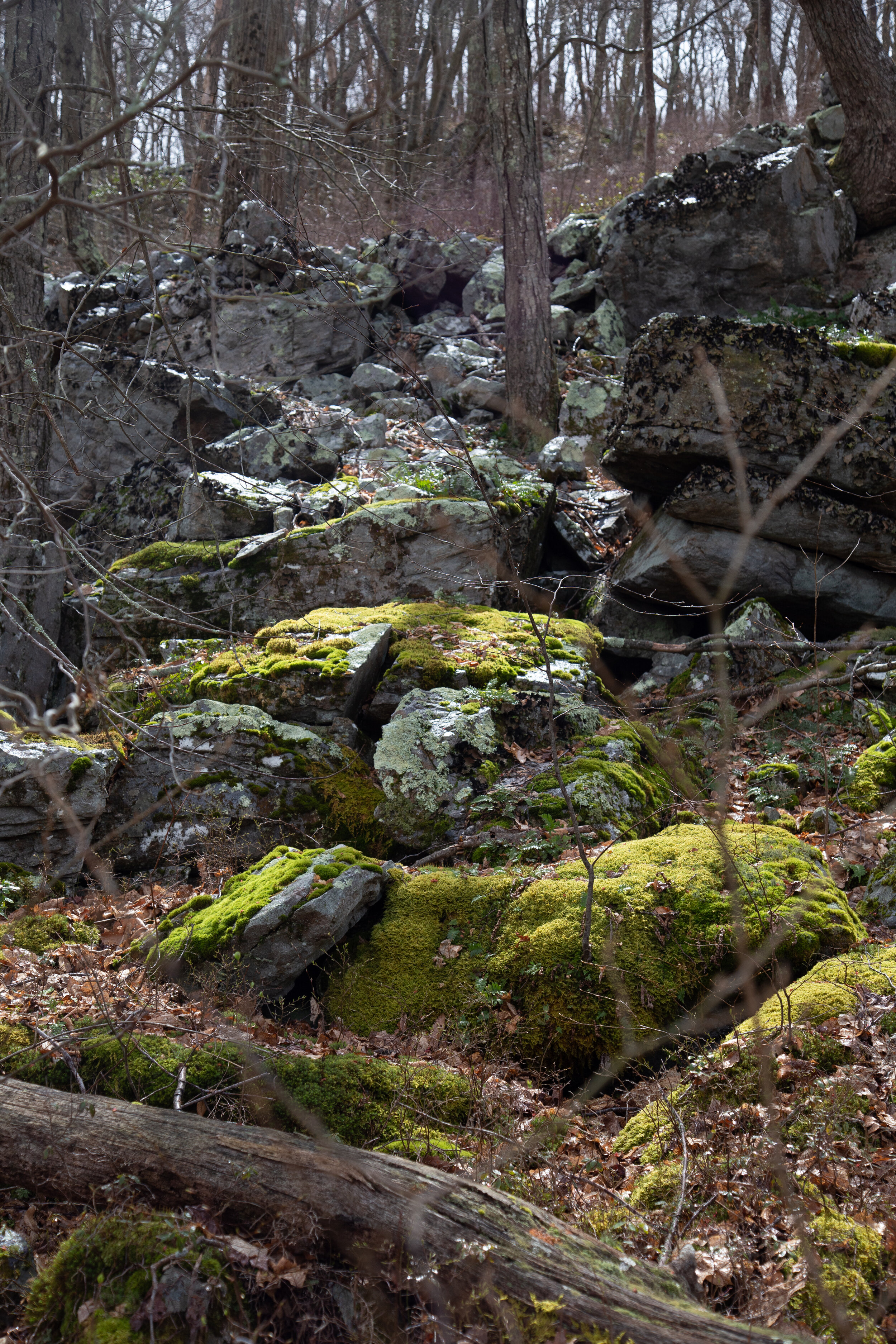
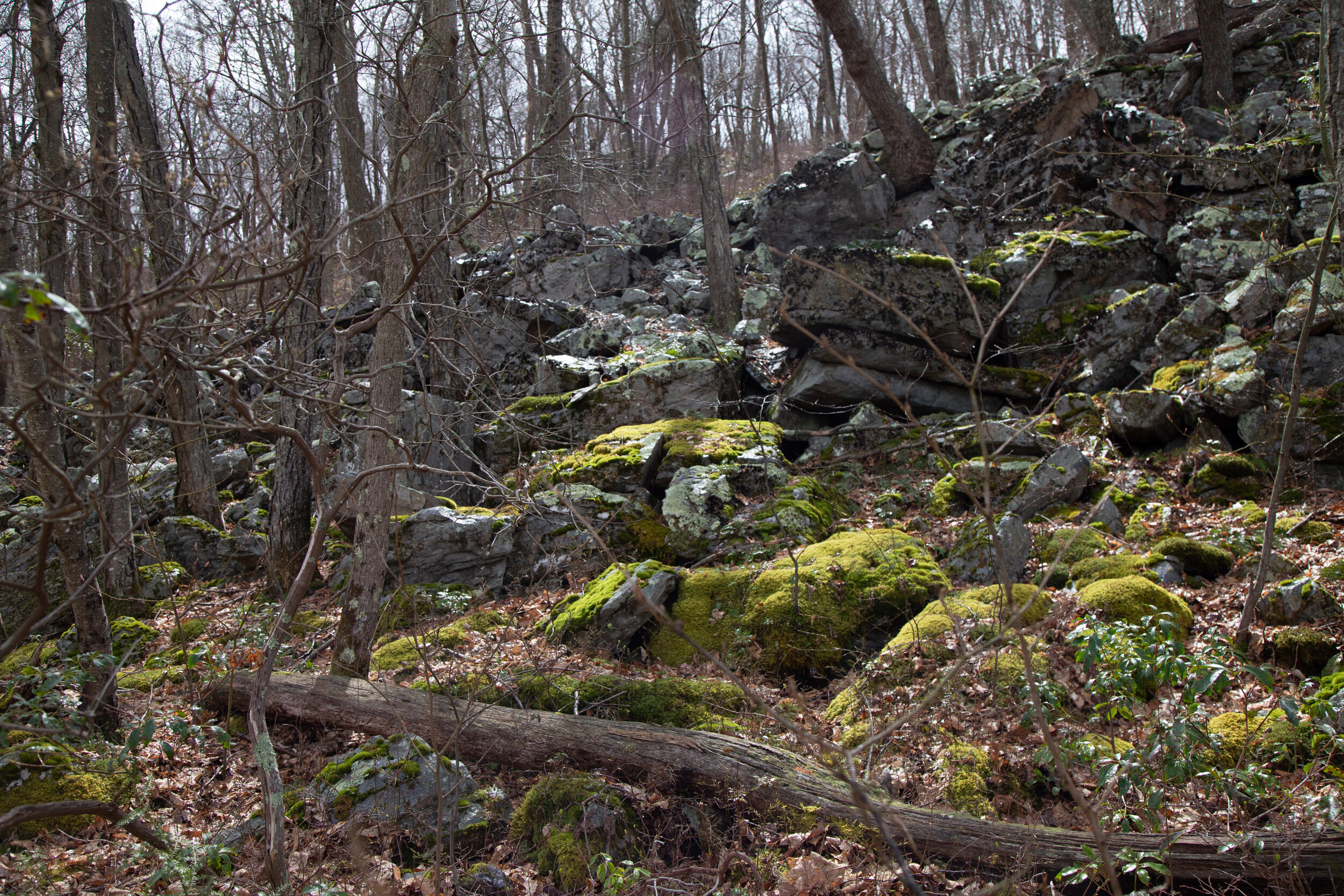
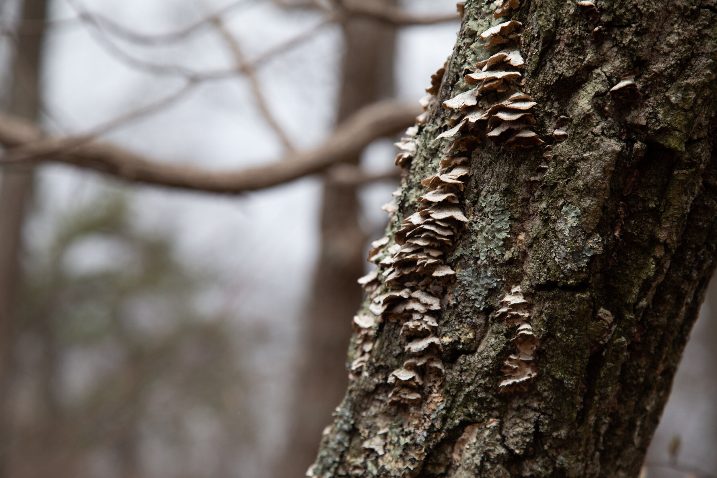
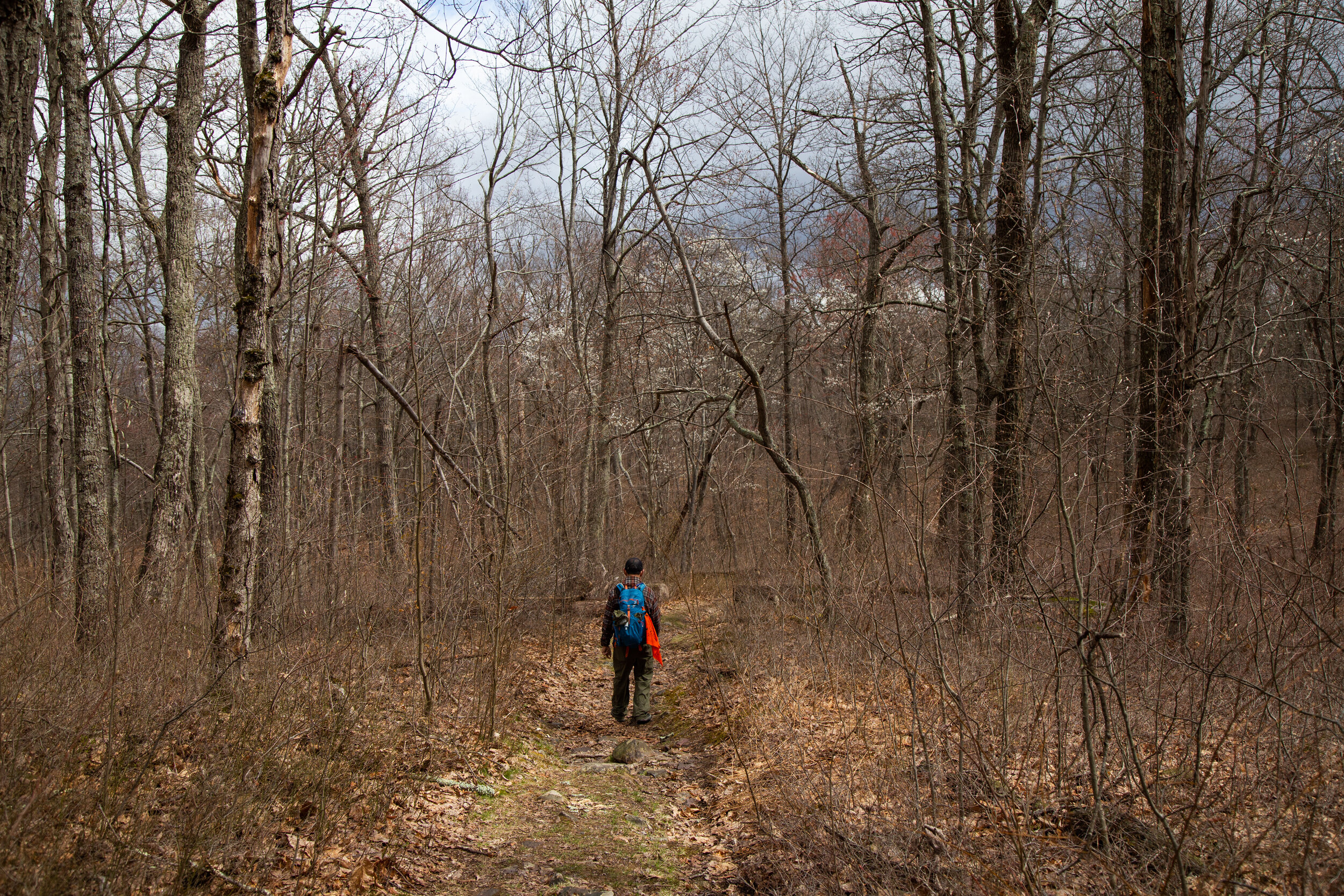
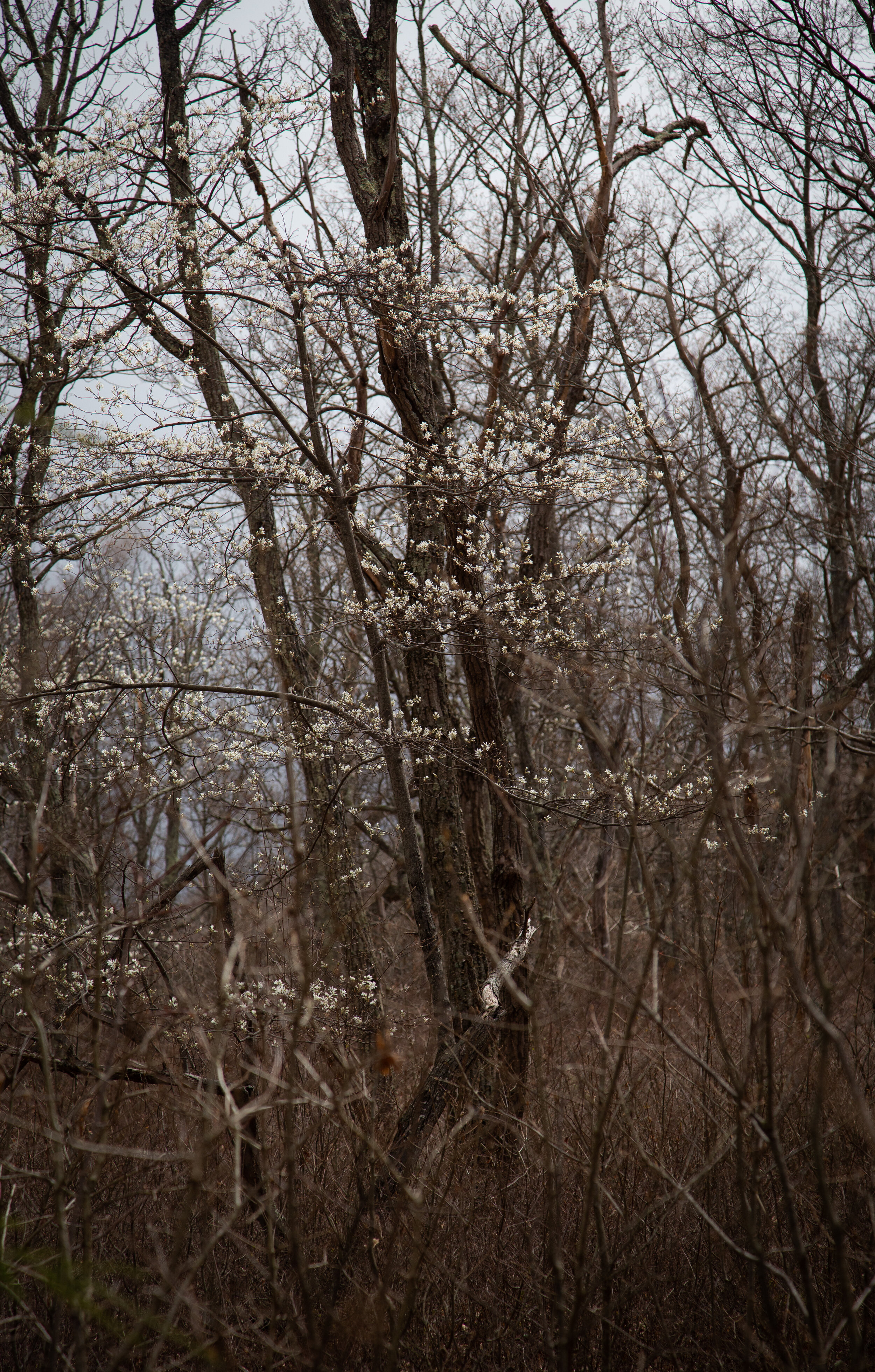
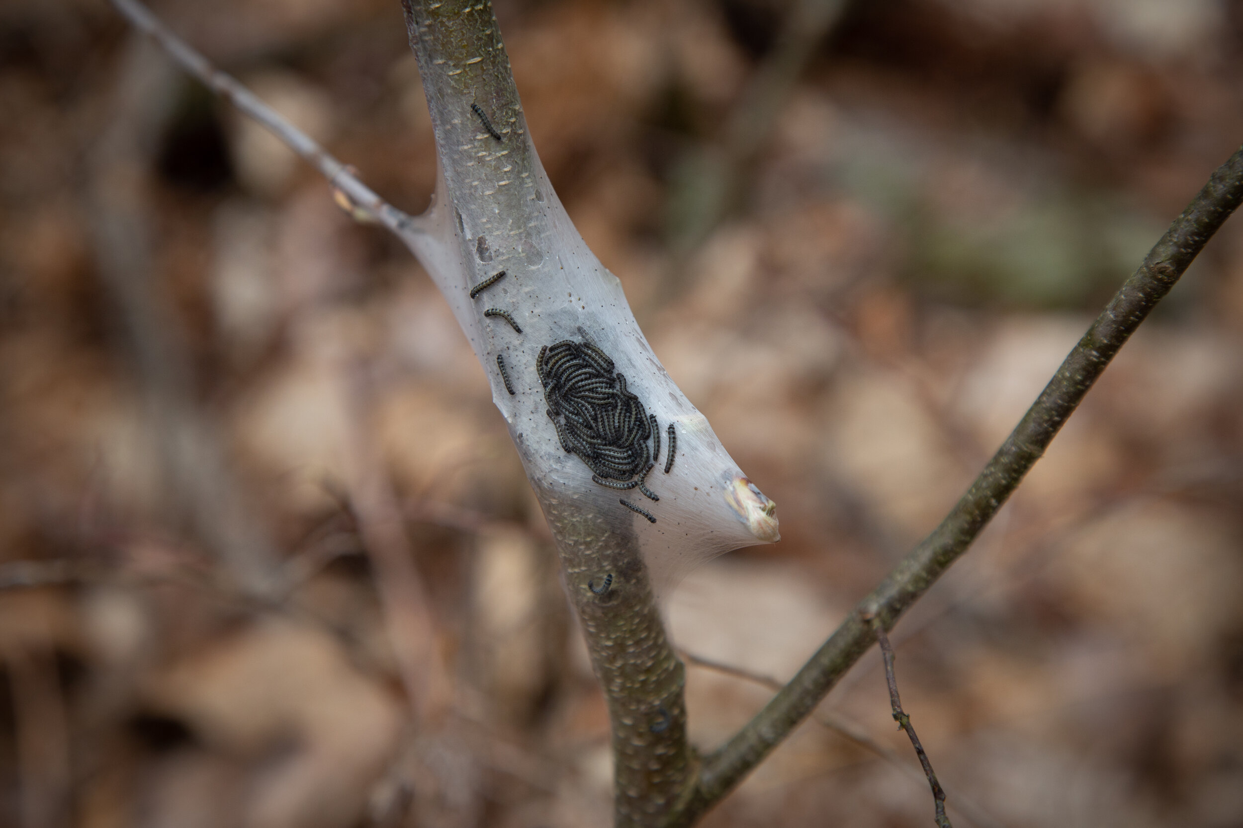
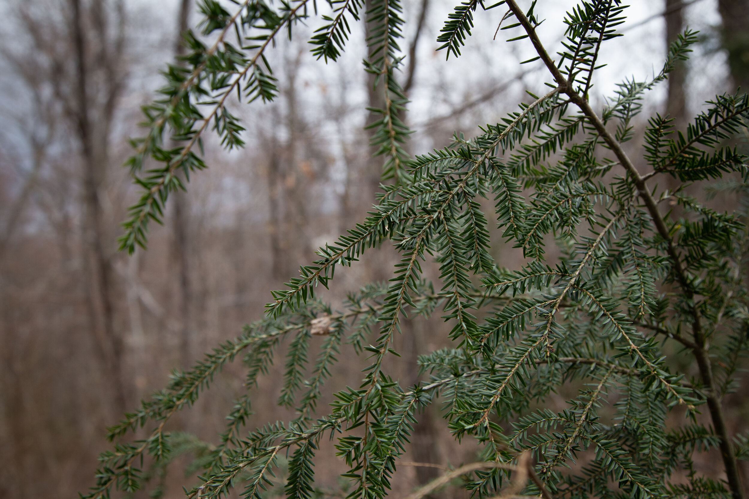
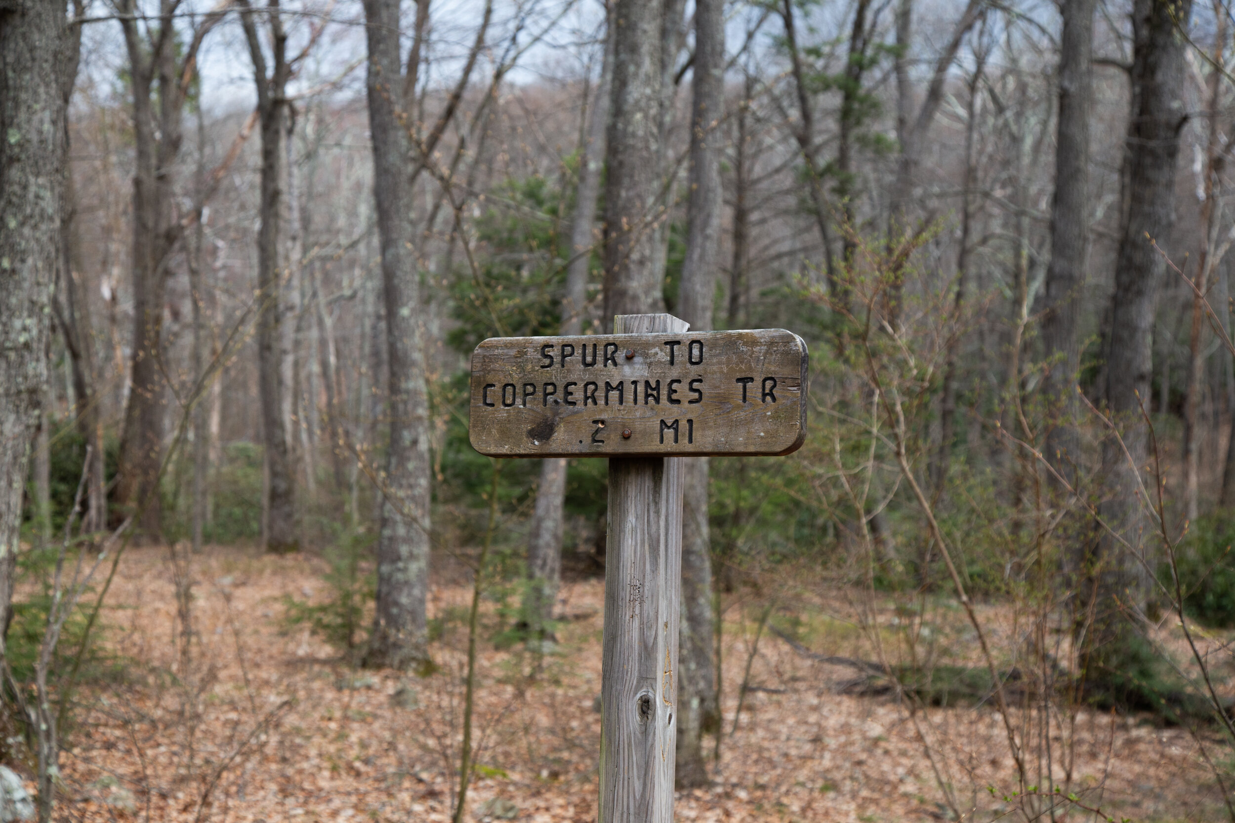
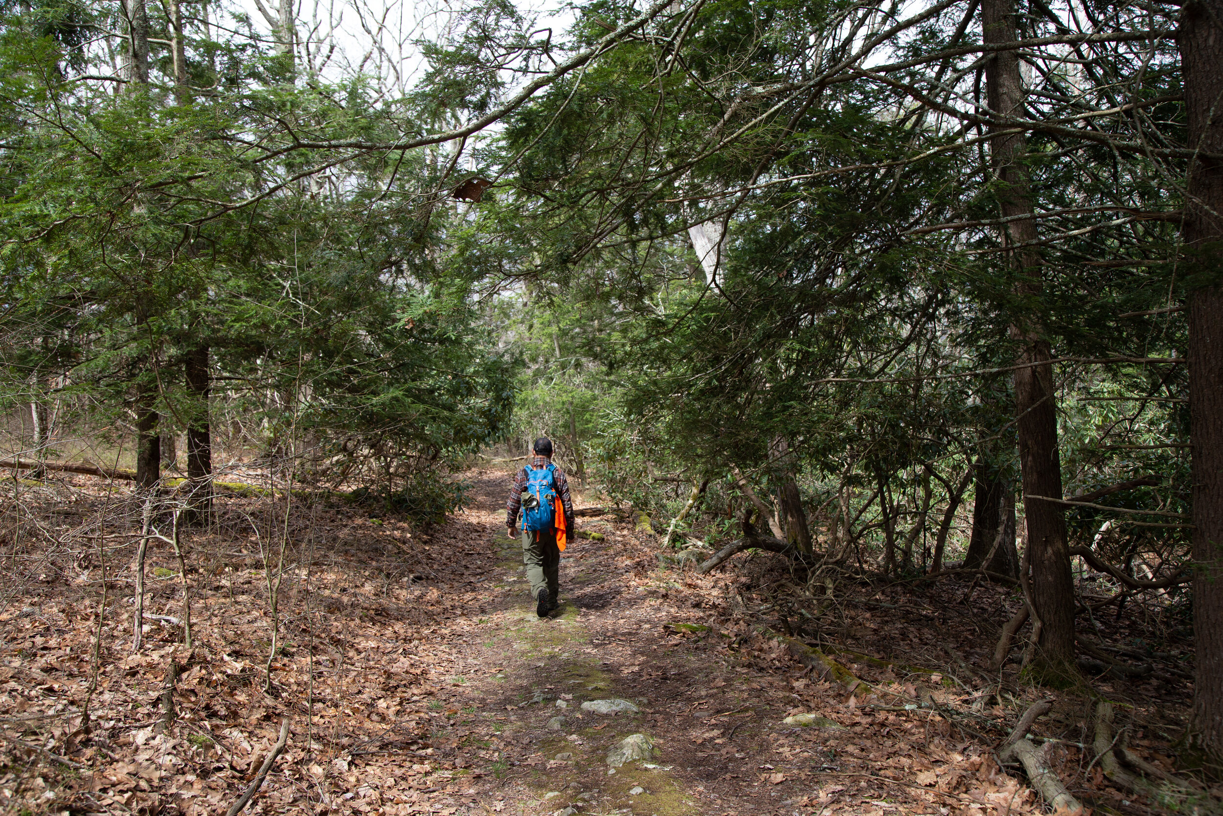
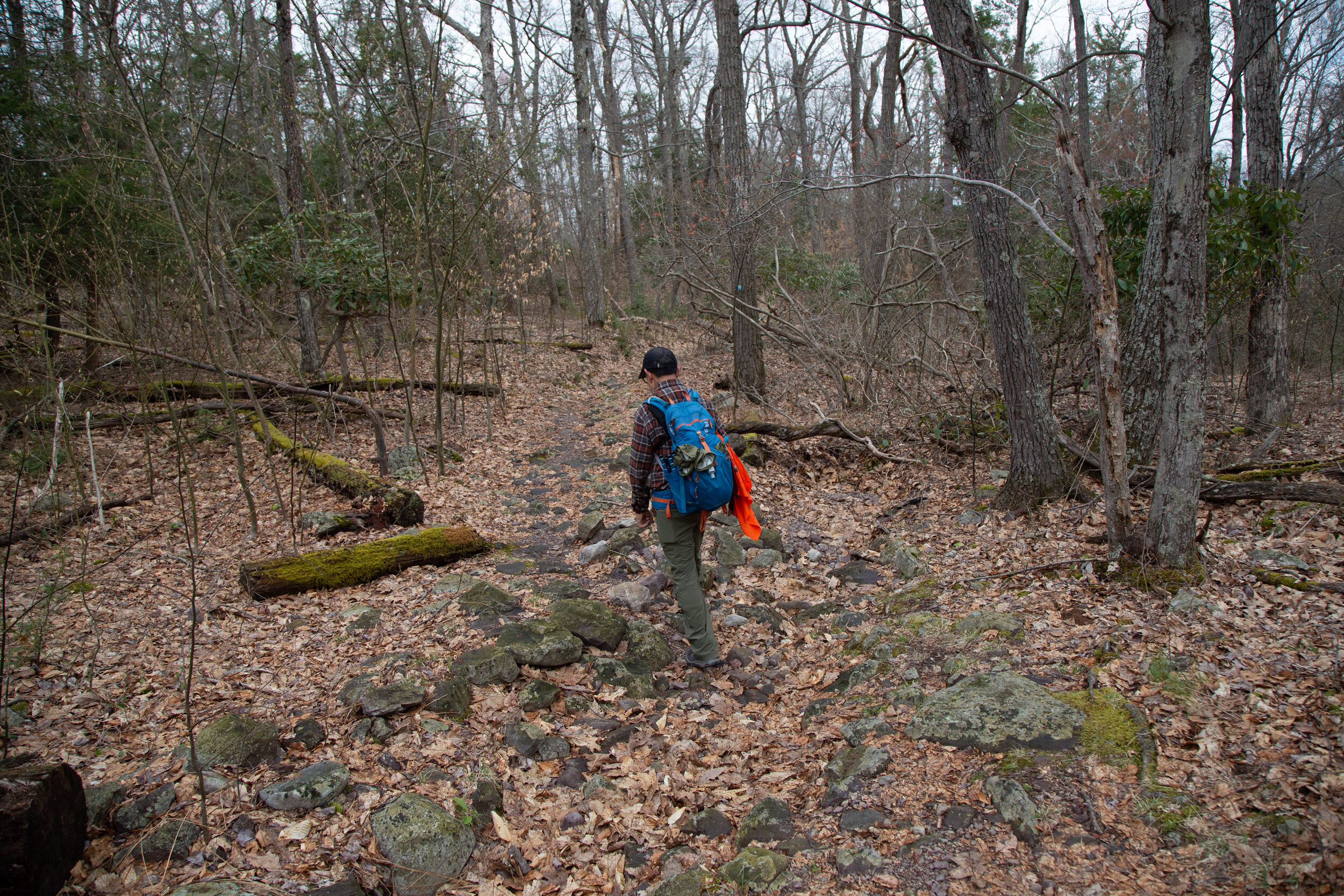
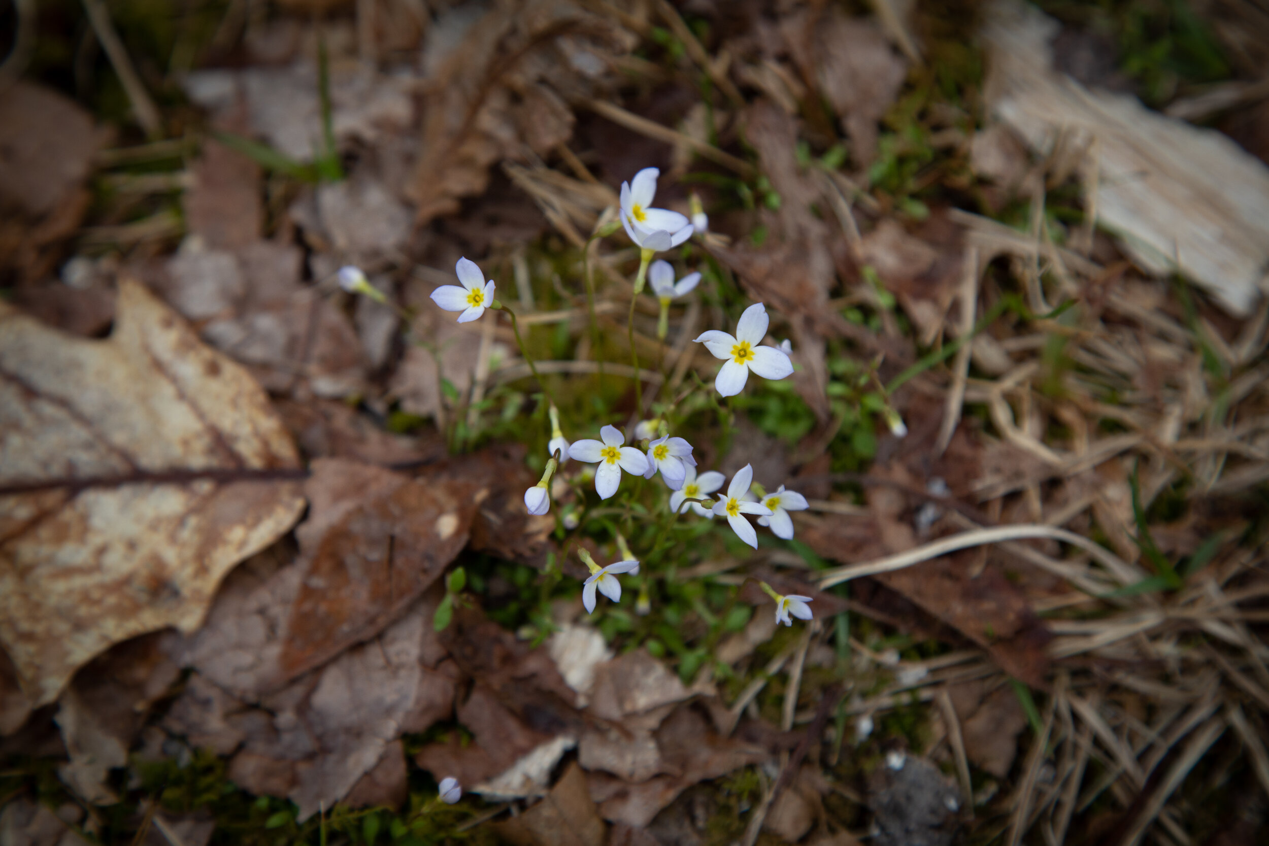
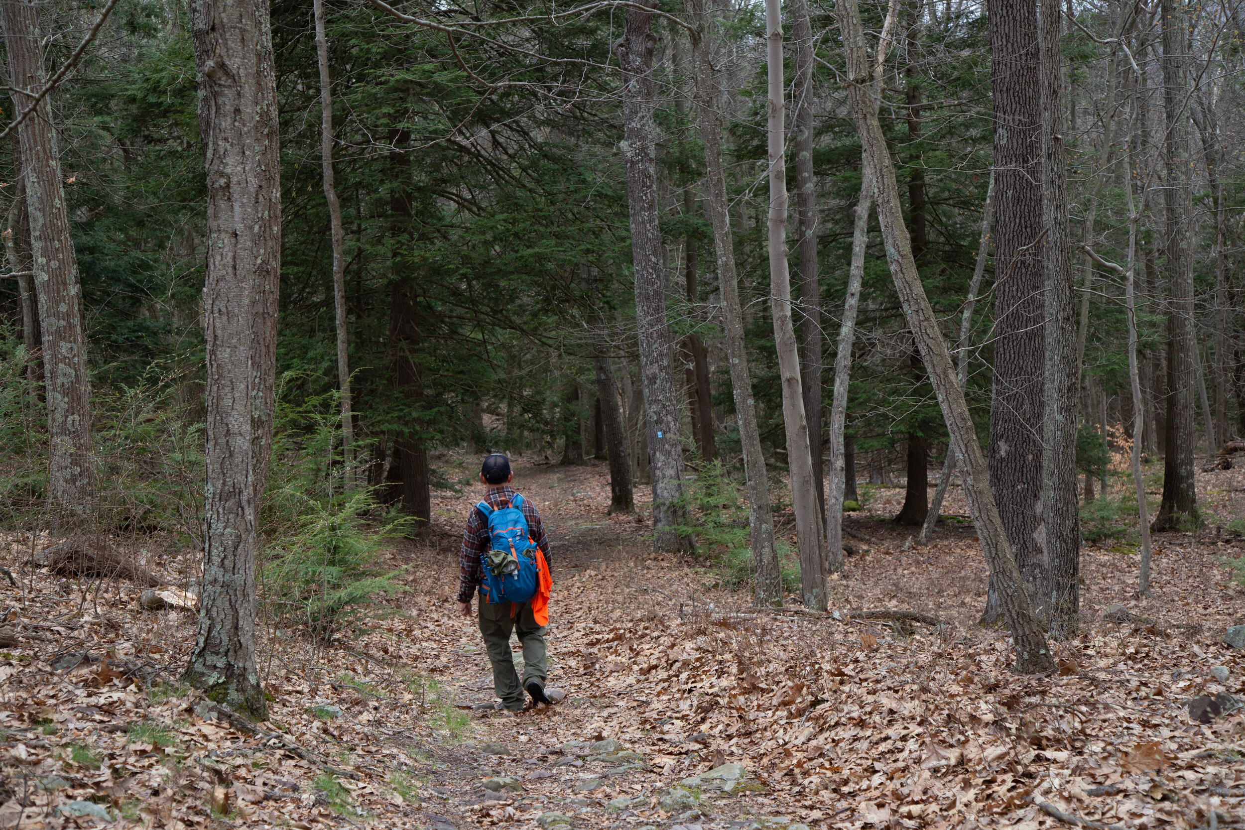
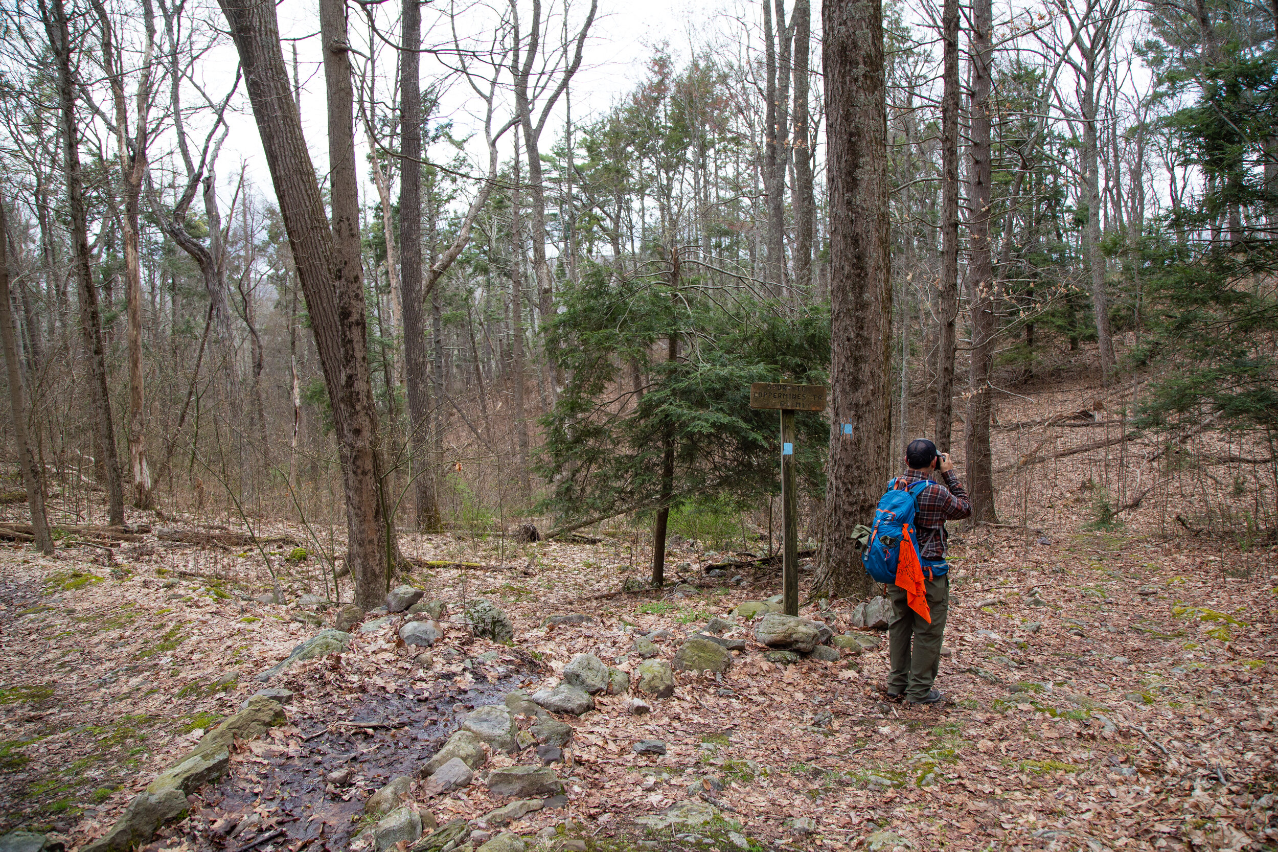
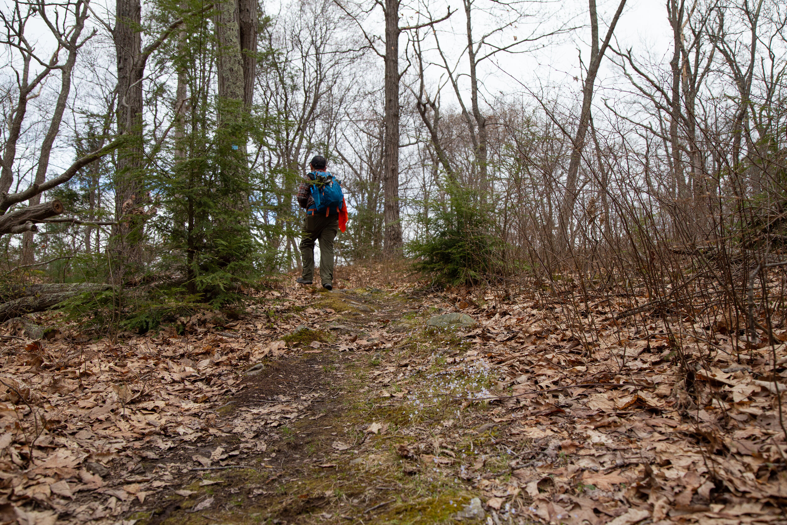
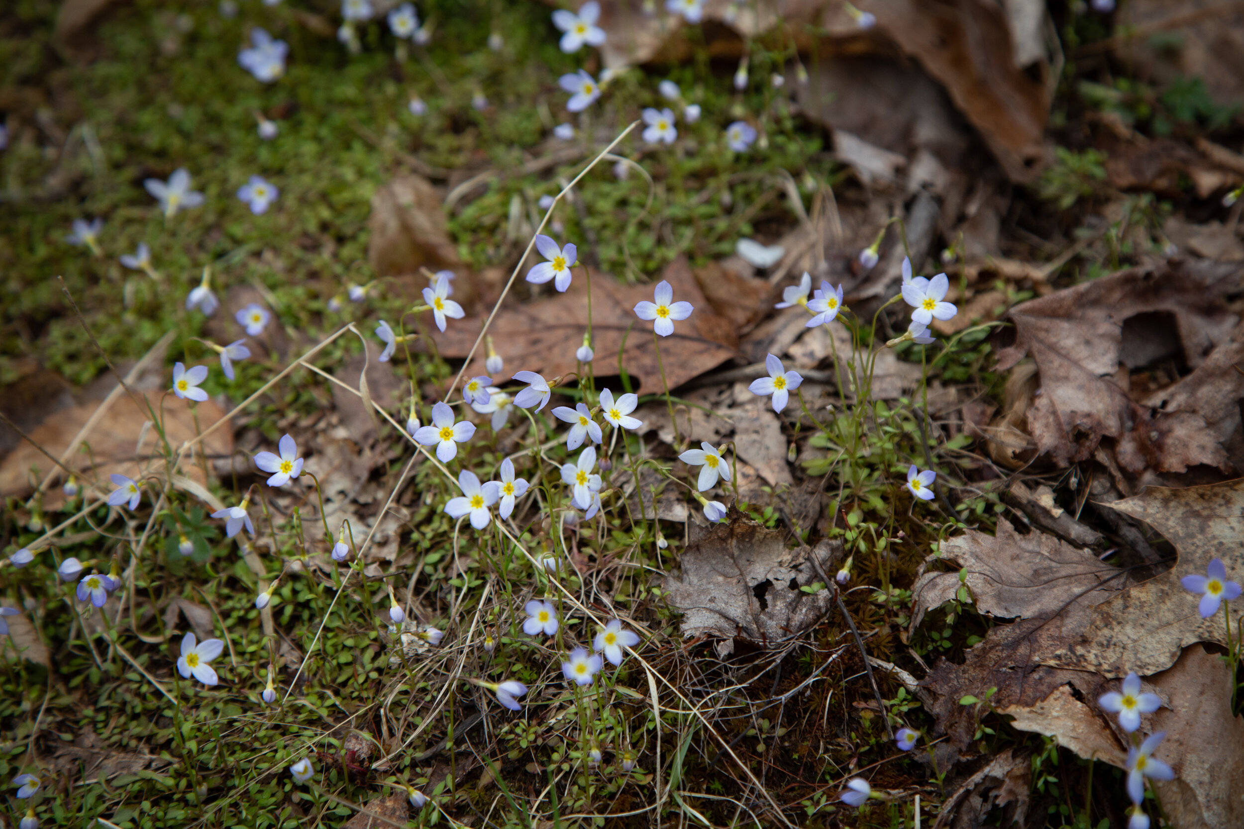
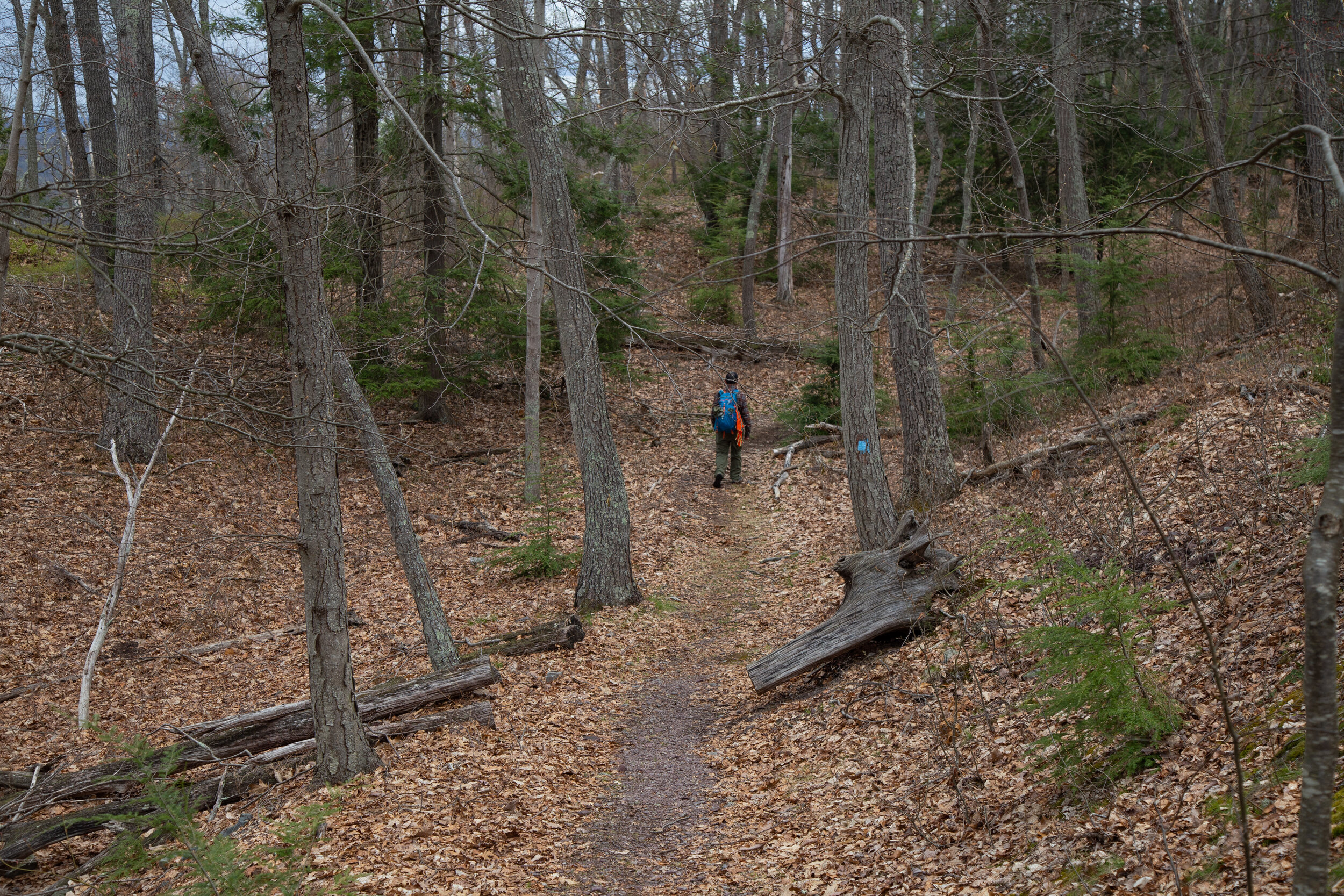
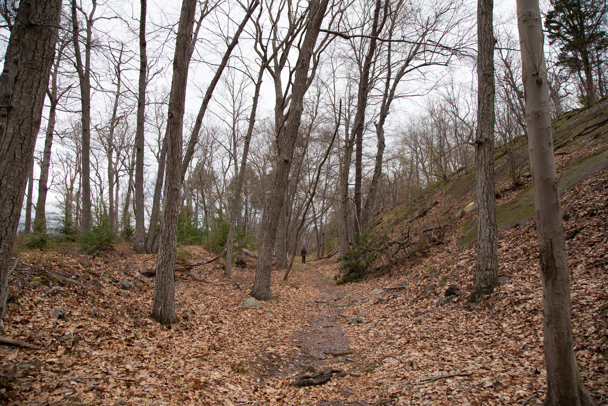
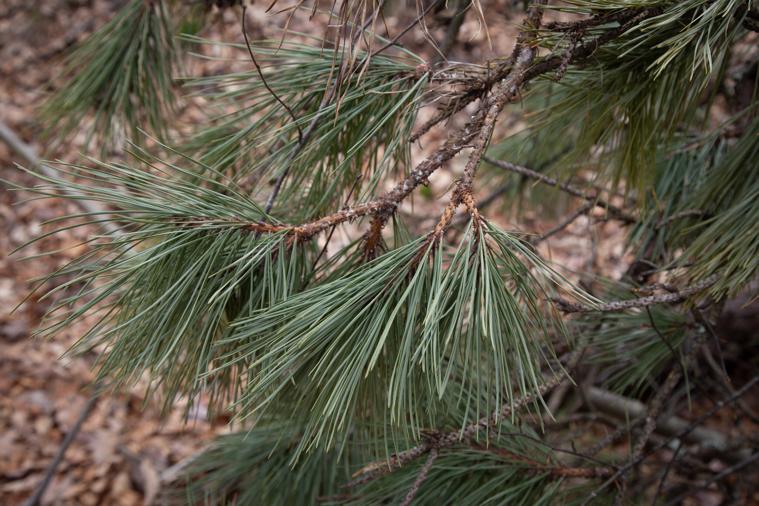
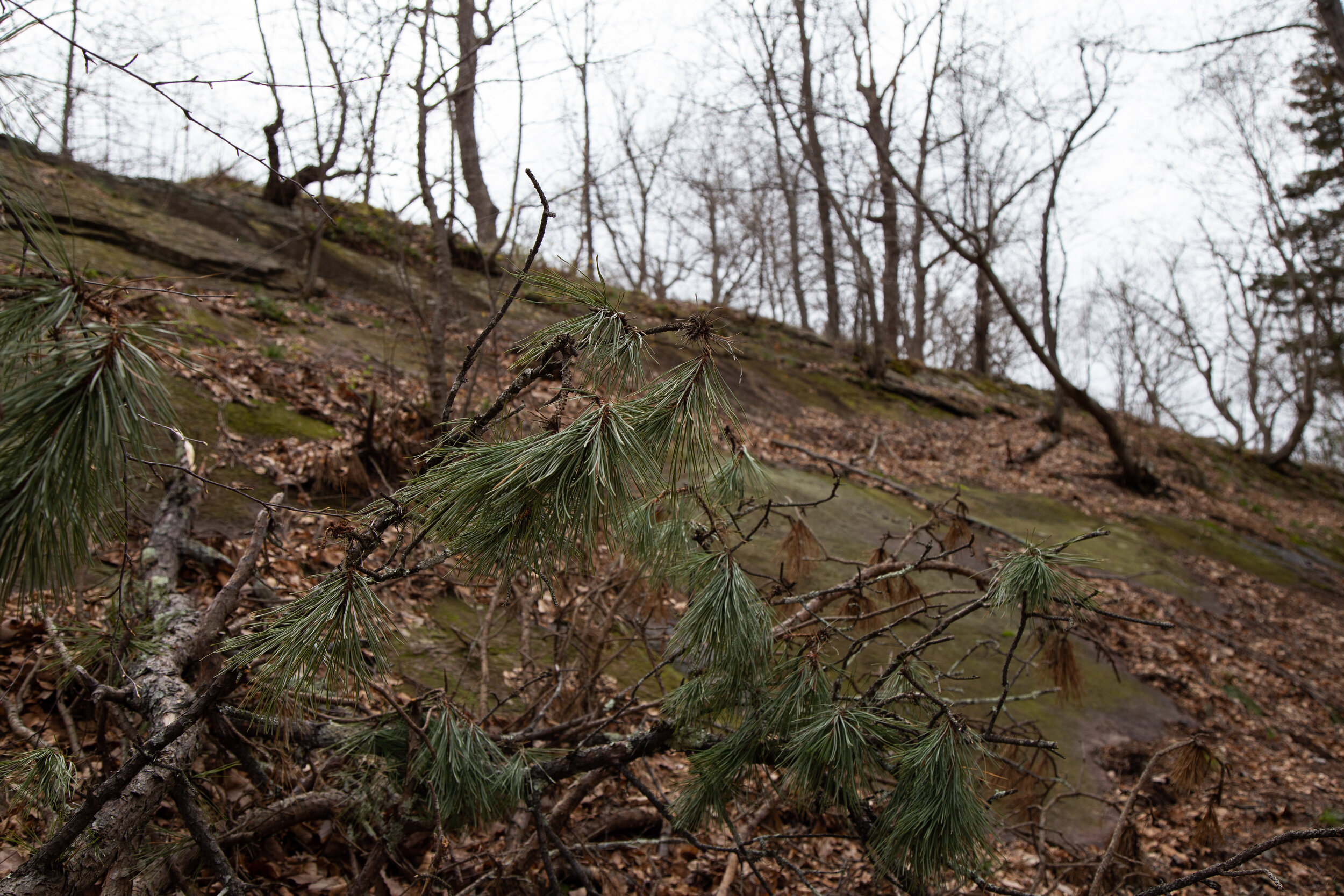
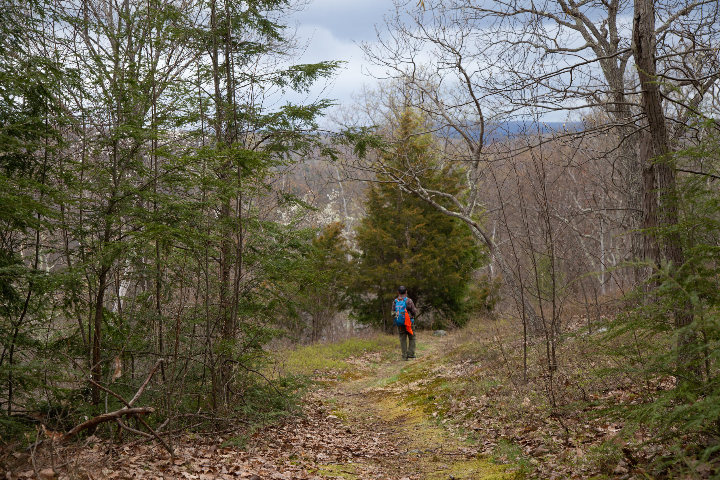
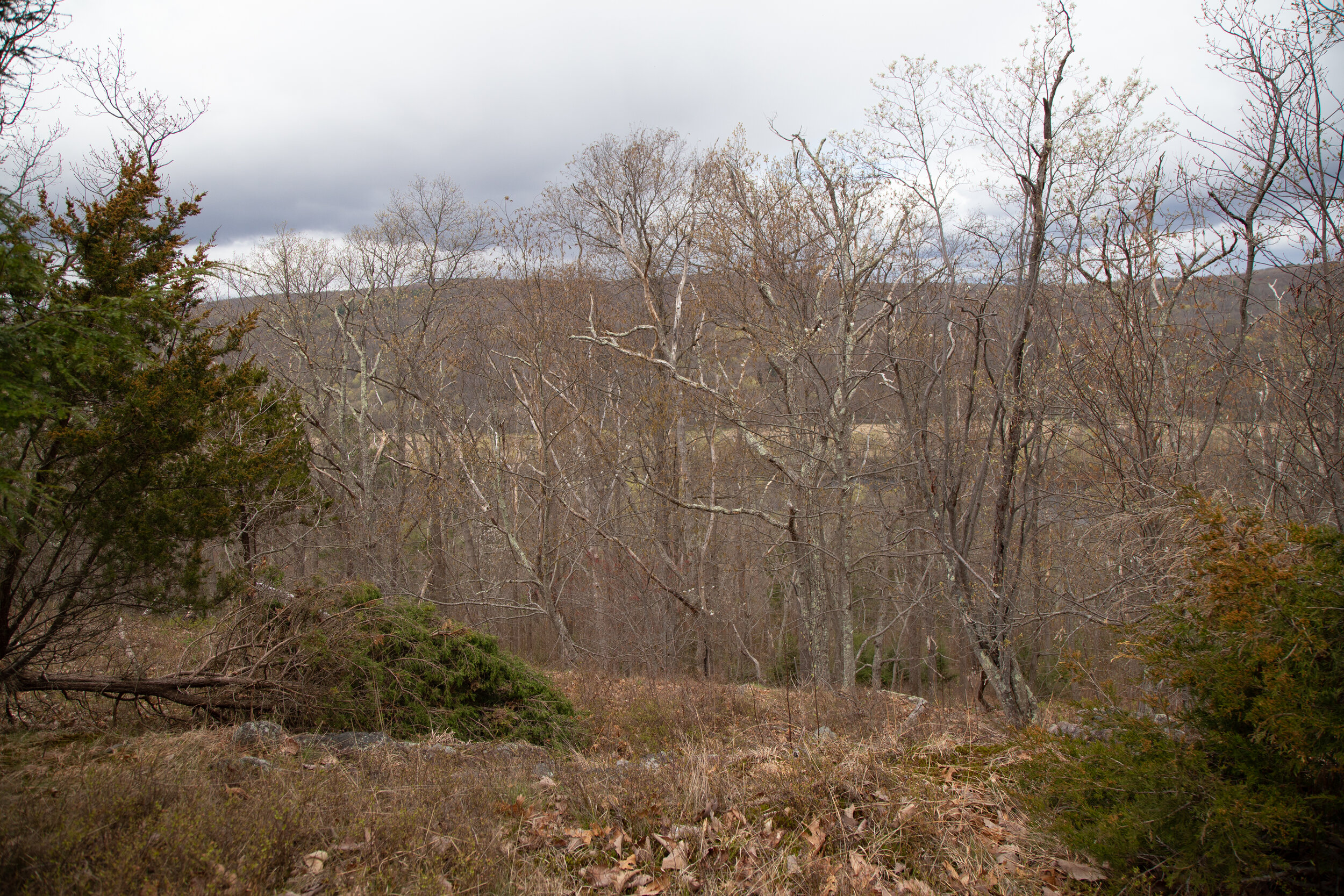
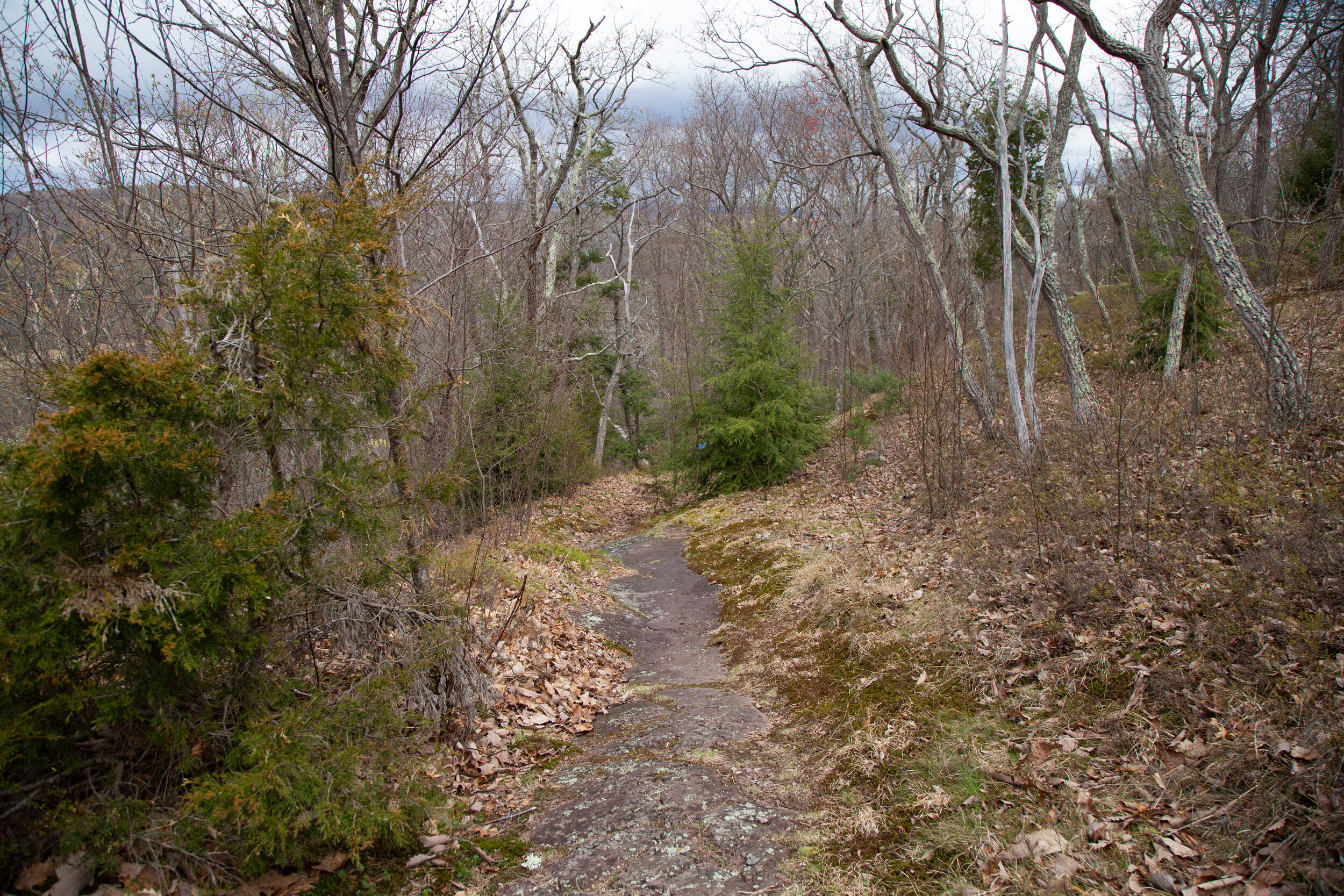
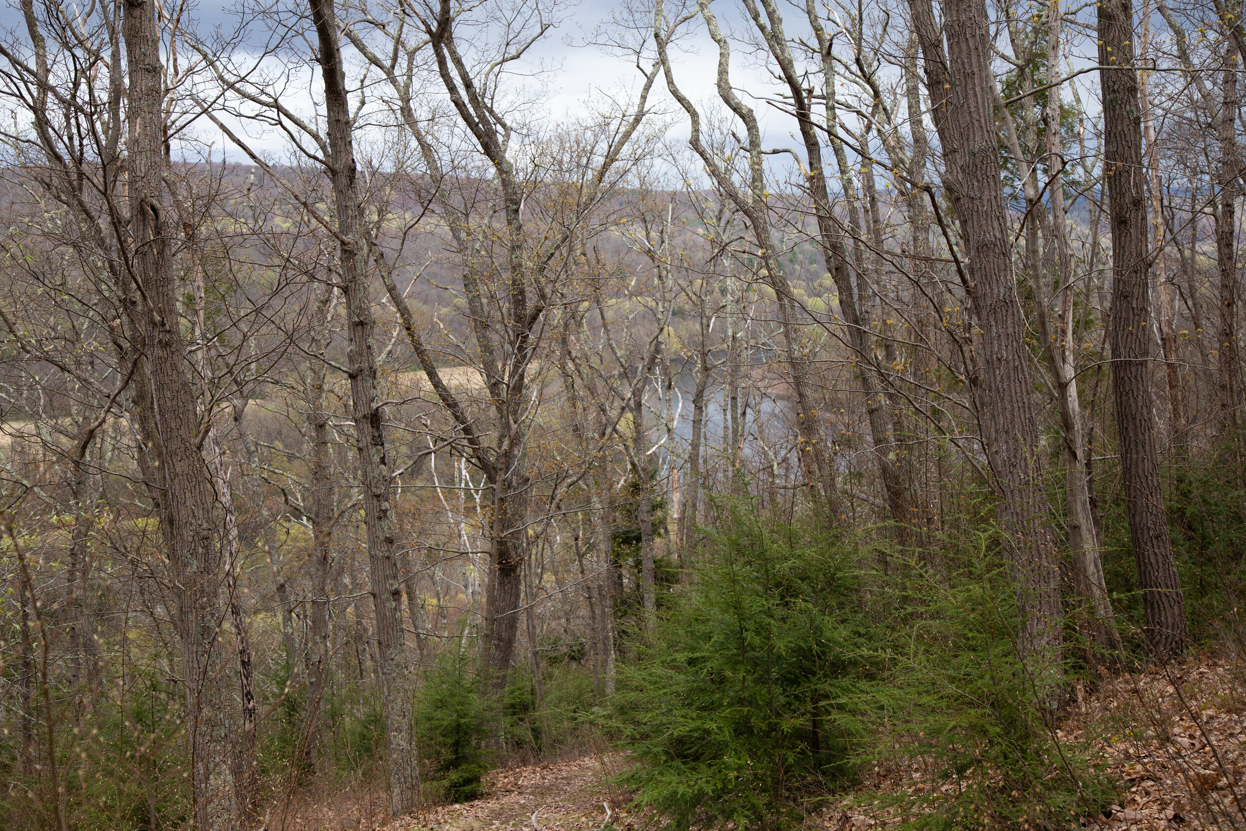
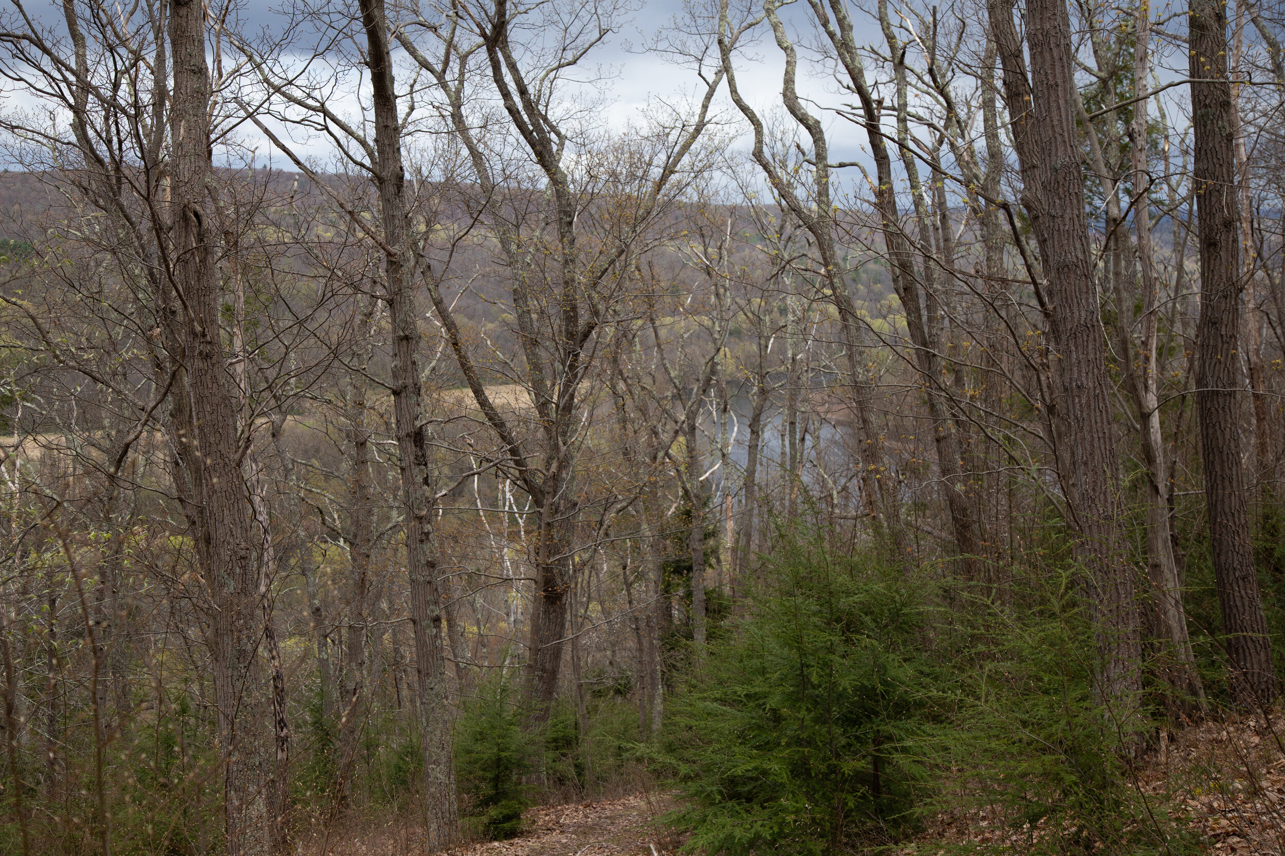
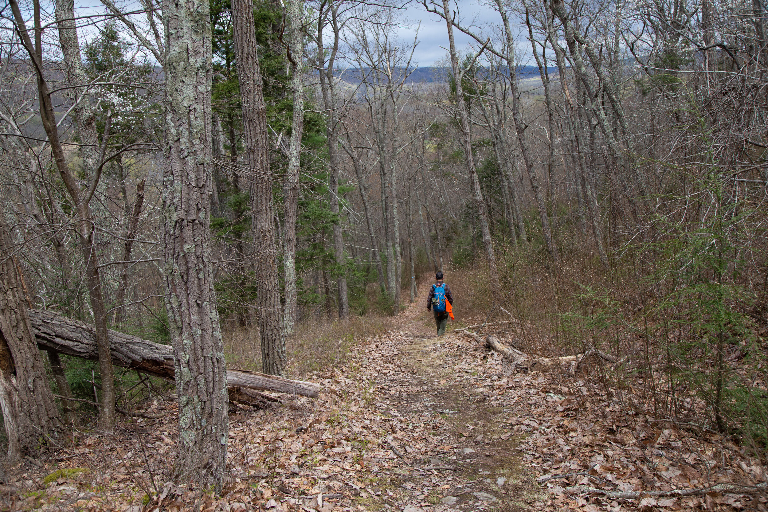
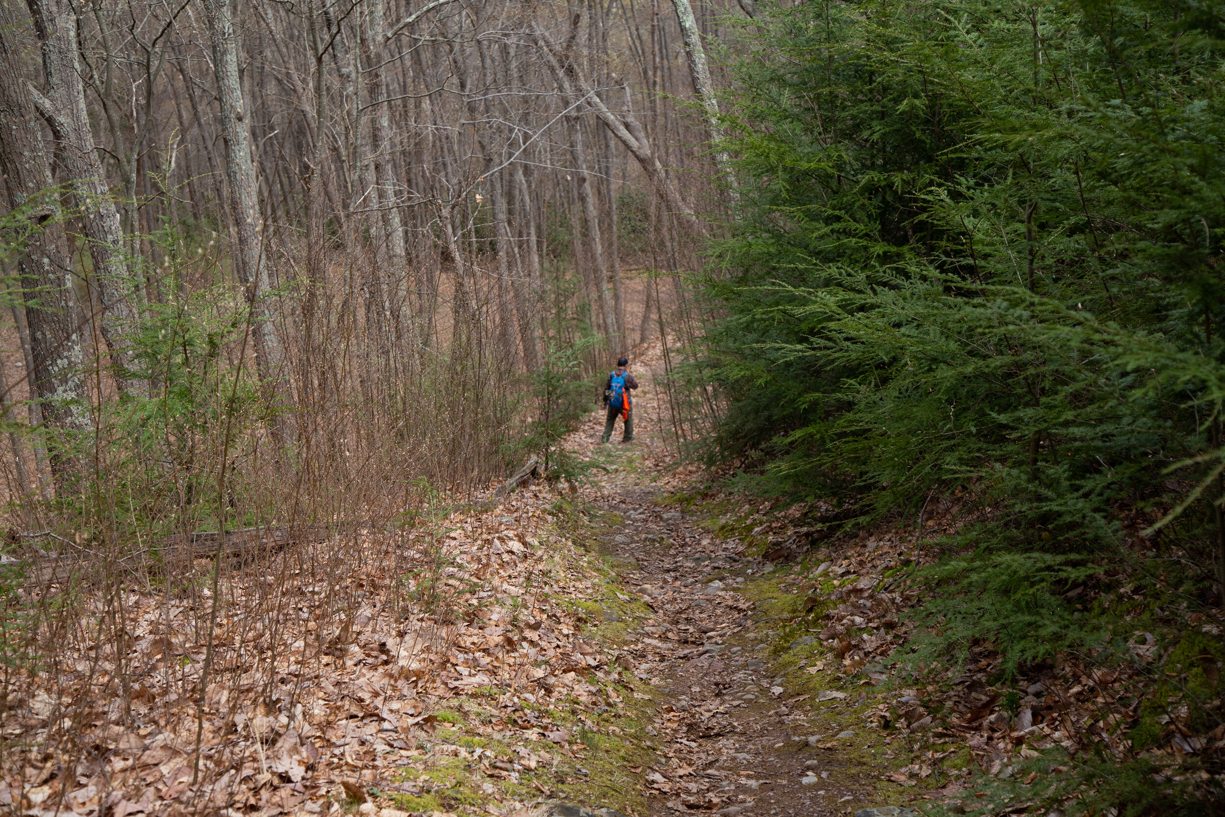
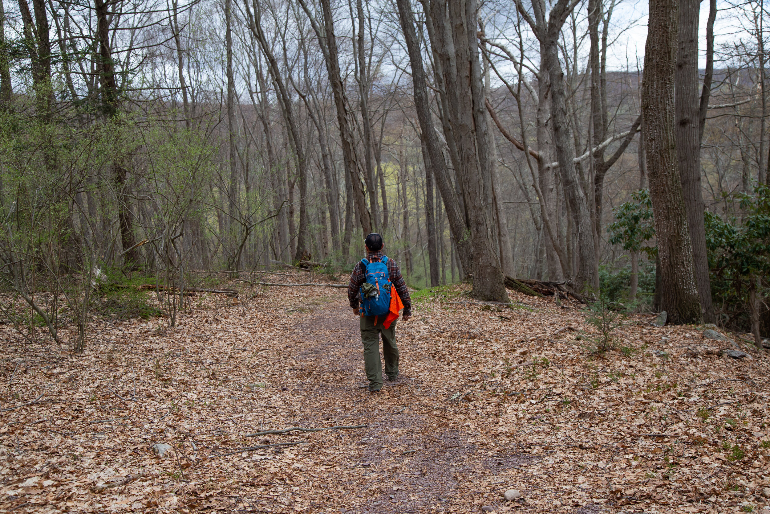
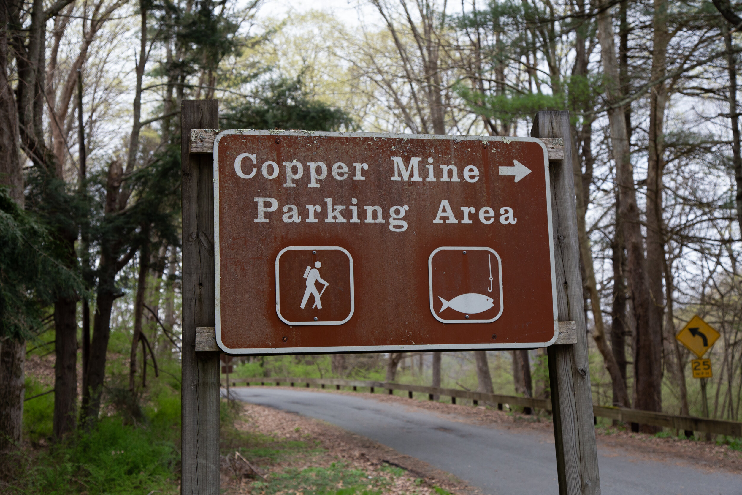
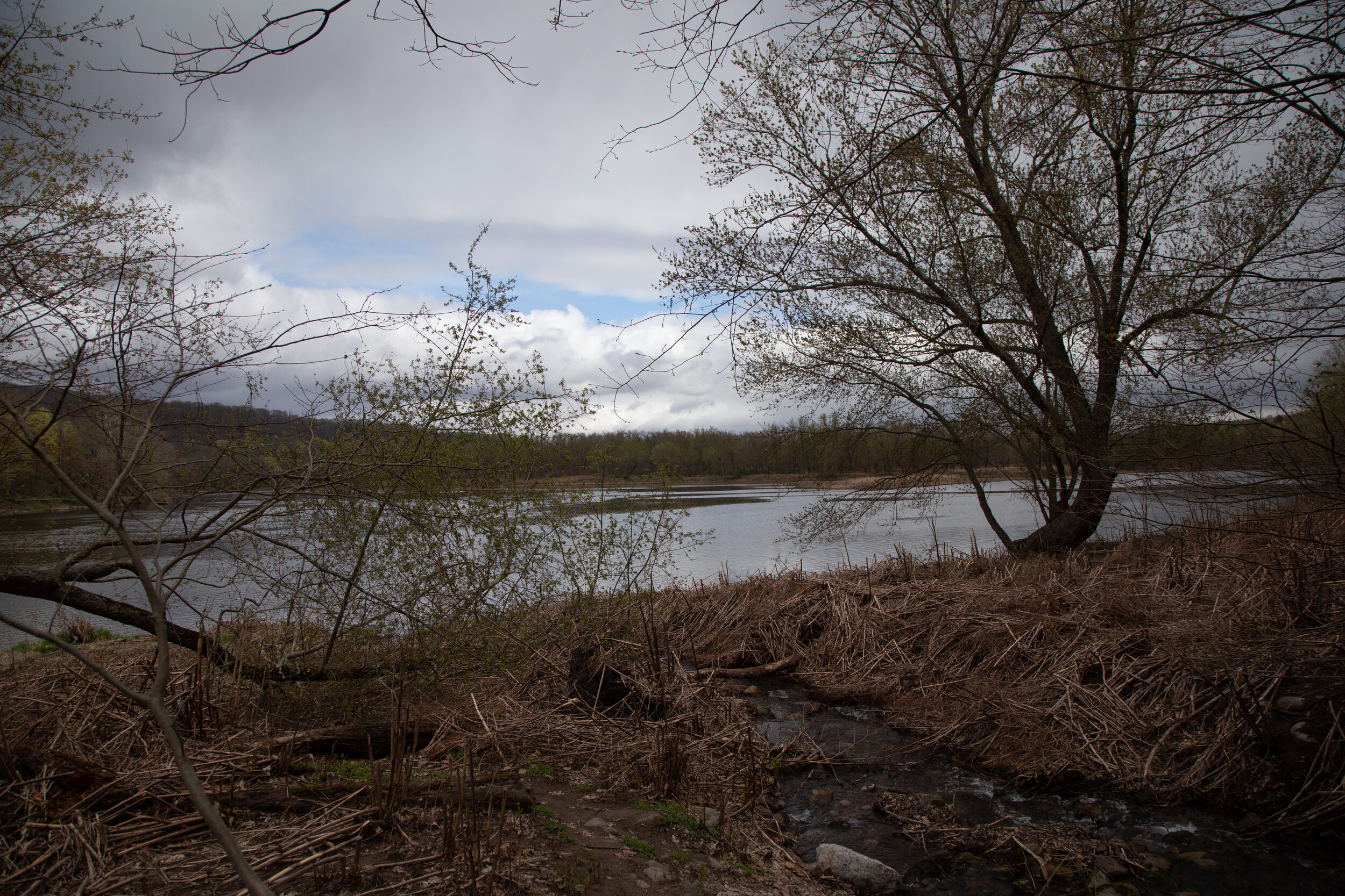
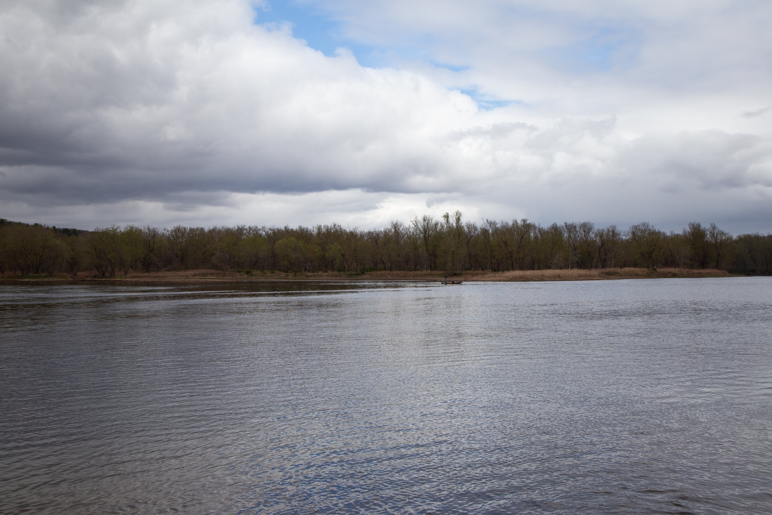
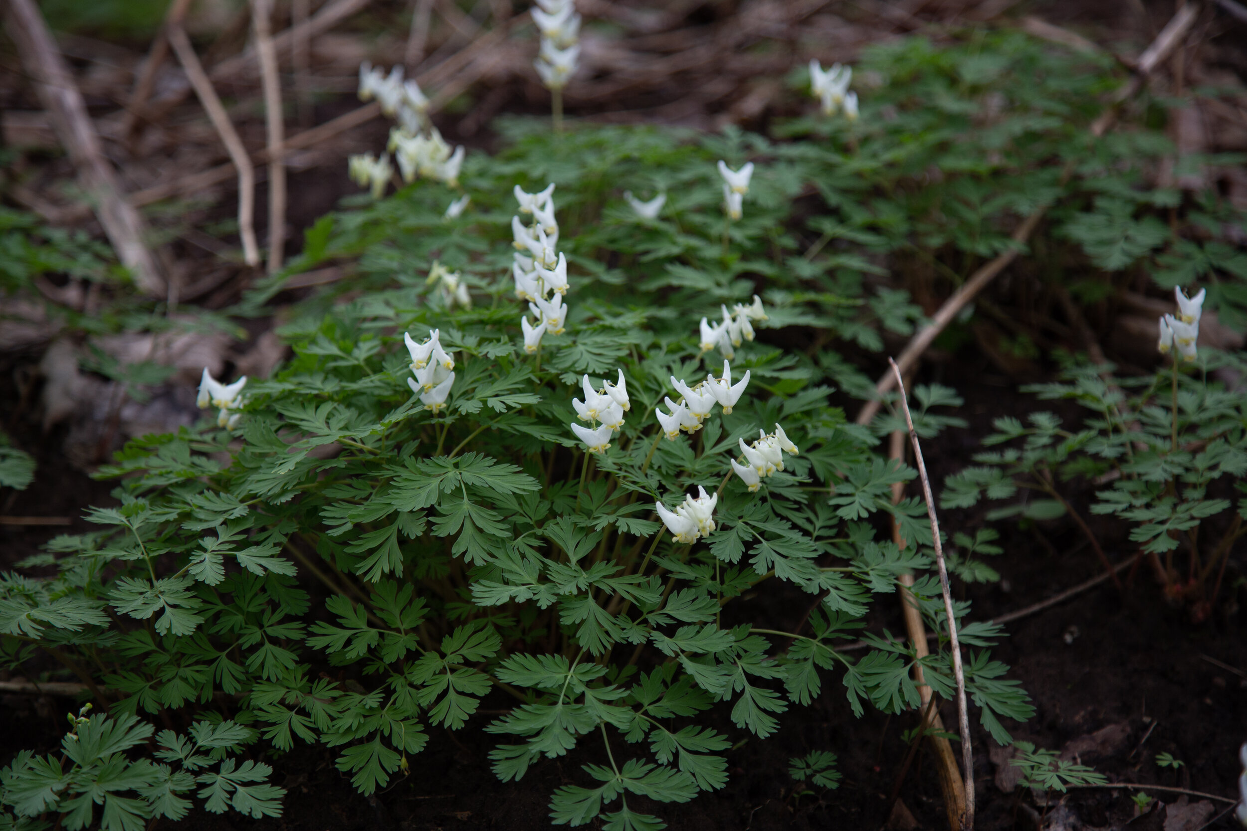
Today we decided to check out more of the Delaware Water Gap National Recreation Area. This time our plan was to explore some trails on the New Jersey side. We arrived at the trailhead off Old Mine Road which had recently reopened after being closed during the winter months. We geared up then made our way over to the map at the kiosk to formulate the day’s plan. We decided to hike the Copper Mine Trail up the west side of Kittatinny Mountain to the Appalachian Trail where we would follow it southwest along the ridge before looping back on the Kaiser Trail. We crossed the street and headed out on our adventure. Not far into the trail we reached a fork that took us to the first mine. I saw some stone ruins along the way before the first mine quickly came into view. It was fairly large and would have been easy to access, but it was blocked by a metal grate. I shined my headlamp inside to take a look and wondered how far back it went. The Pahaquarry Copper Mine is said to date back to the 1750s, but it was never successful due to the ore extracted being of too low concentration of copper. After checking out the first mine, we got back on the main trail which began an ascent along the ravine. We spotted the second mine nestled into the hillside up above the trail, and I climbed up to take a closer look. This mine was much smaller than the first, but it too was inaccessible. We then reached a wooden bridge crossing over the creek. Now the path narrowed and became much rockier. We climbed steeply along the ravine enjoying views of waterfalls flowing down the mountain. We came upon a spur trail leading down to the bottom of one of the accessible waterfalls so we decided to explore. Next, we got back on the main trail which moved away from the creek and into a forest of mixed hardwoods. We passed by blooming wildflowers and a vernal pool then crossed over another wooden bridge leading to a parking area. We checked the map, got our bearings and headed onto the Appalachian Trail. We climbed in elevation navigating over large boulders until reaching the top of the ridge where we had views of New Jersey on one side and Pennsylvania on the other. Soon we came to a vista point overlooking Lower Yards Creek Reservoir. Here, we met another hiker who also happened to be from California. We chatted about the mountains and shared stories about our hikes out west before continuing on our way. When we reached the Kaiser trail, it began to rain. We had to stop and put on our rain gear, but the rain didn’t last. The Kaiser Trail has two different spurs to link back to Copper Mine, so we opted to take the longer route to extend our day. We descended steeply enjoying the views of the Delaware River before finally connecting back to Copper Mine. Before heading home, we took a quick walk down to the shores of the river where I saw wildflowers of Trillium and Dutchman’s Breeches. It was a great day of hiking, and I’m looking forward to continuing to explore more of this section of the Delaware Water Gap.
Click on “Read More” below for more photos.