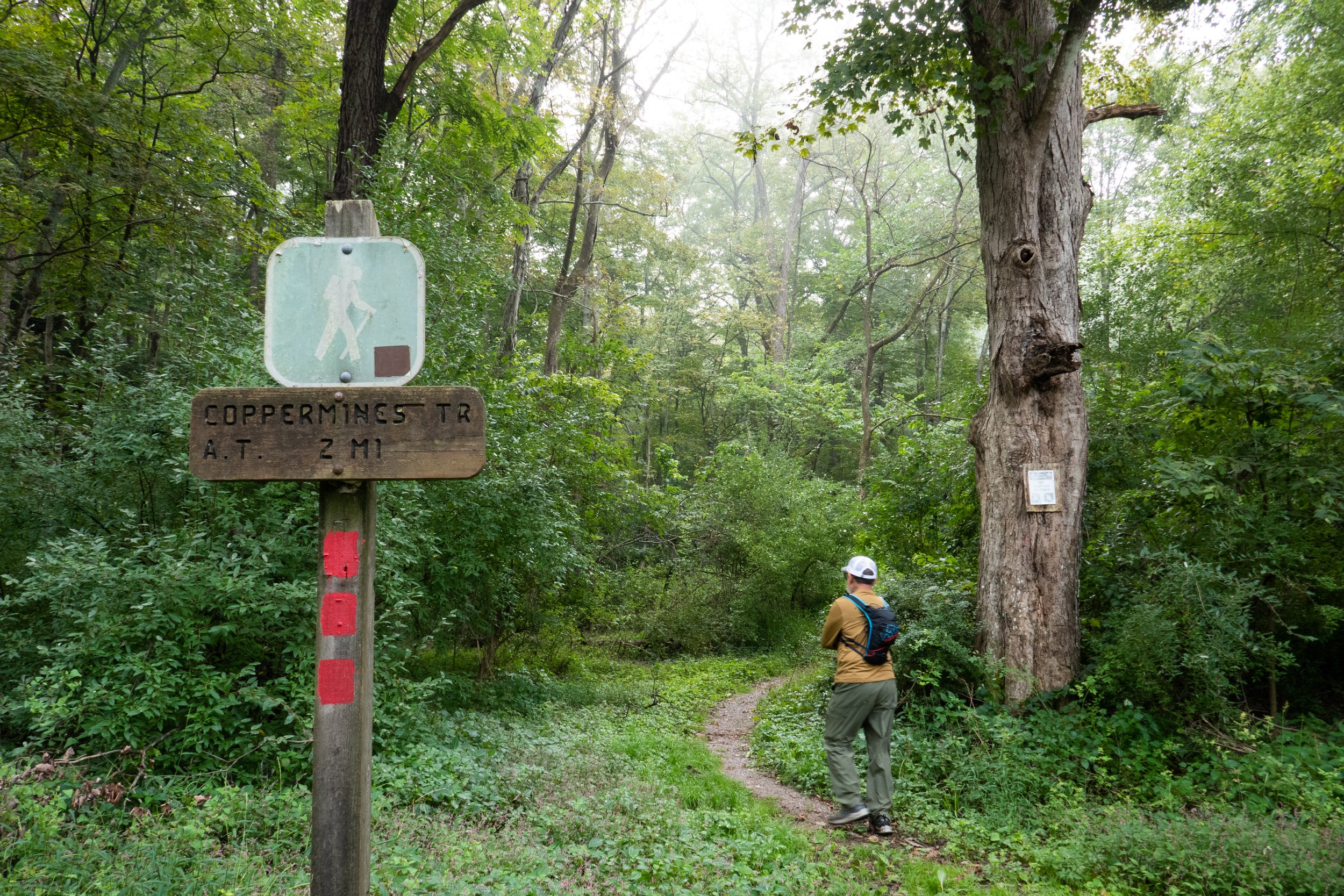
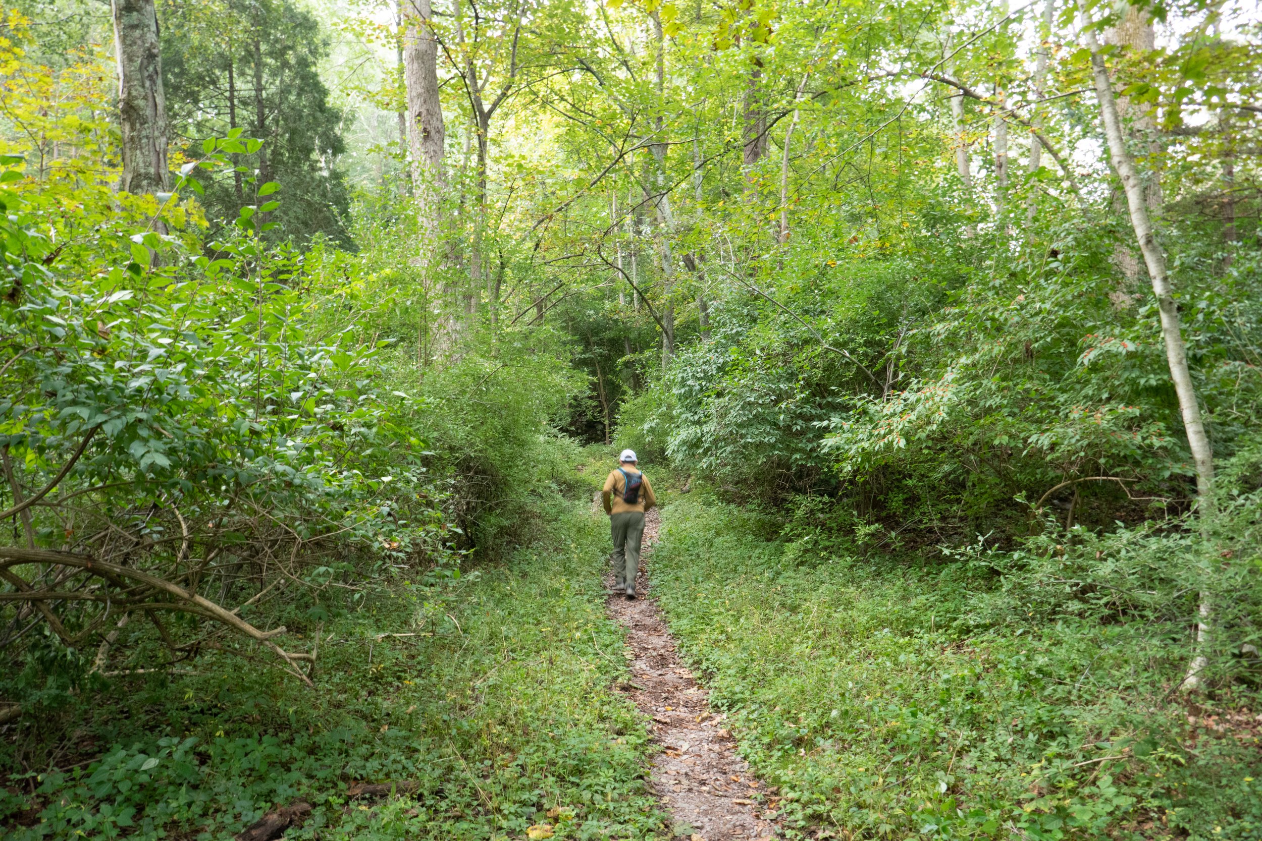
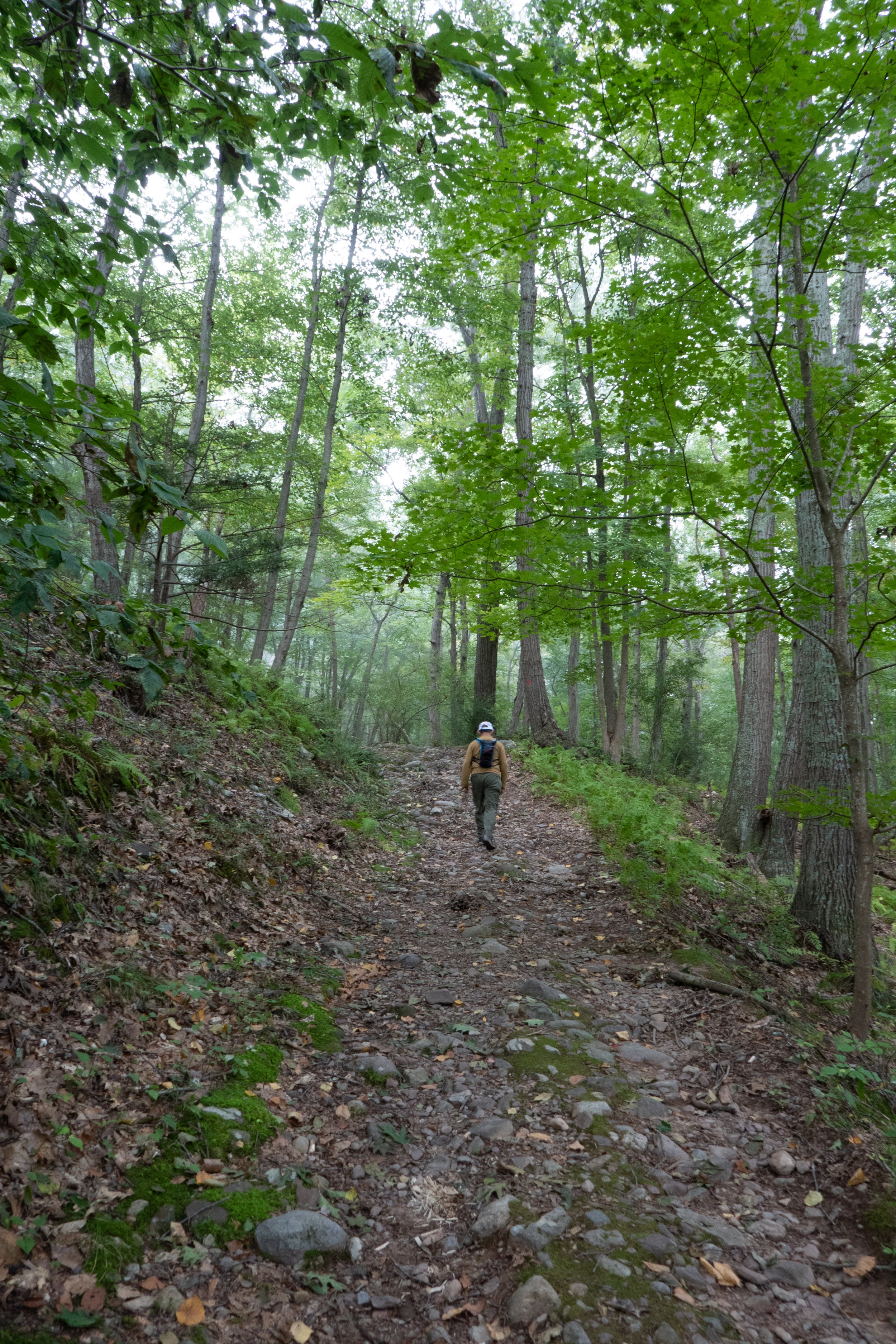
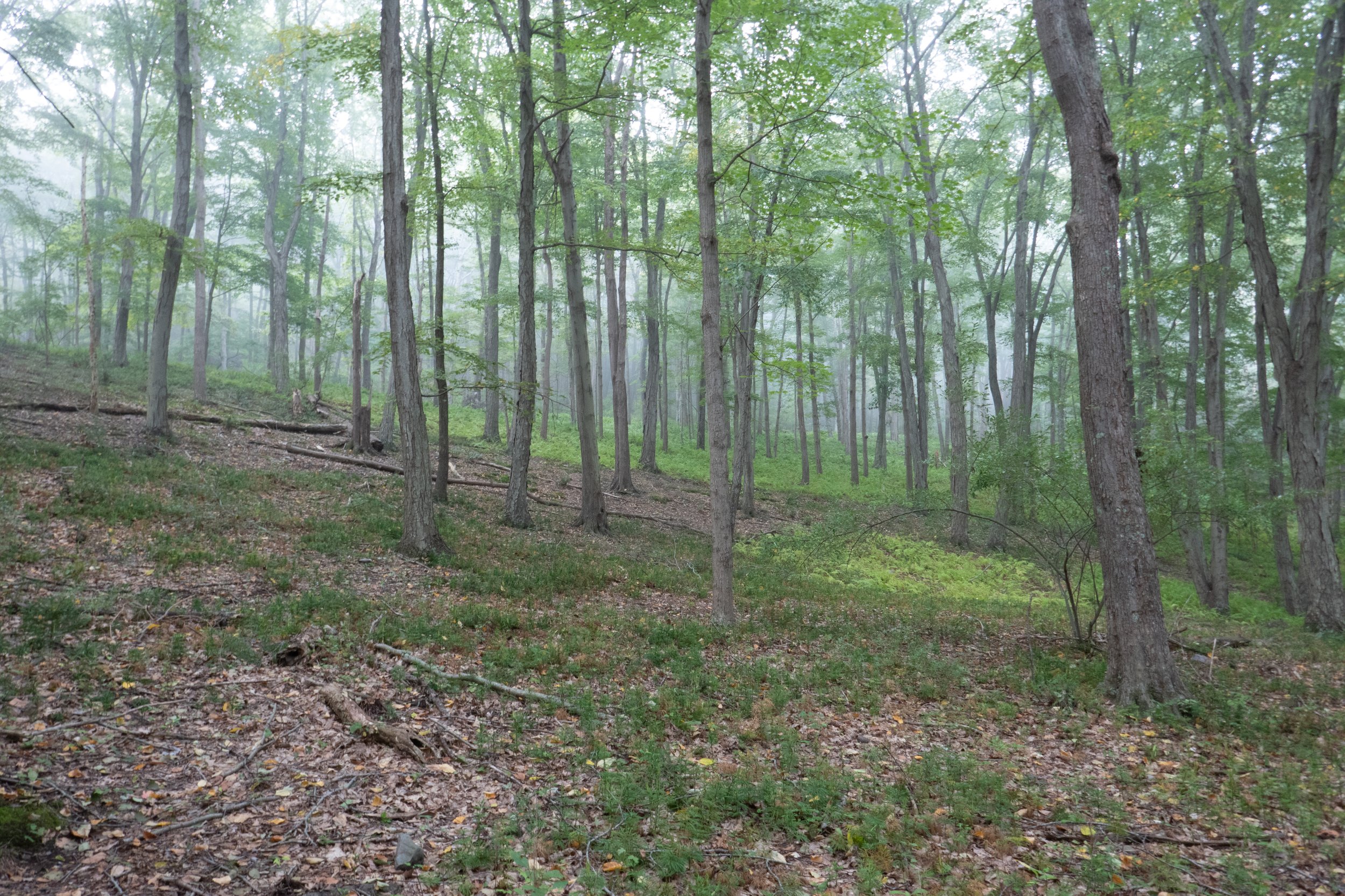
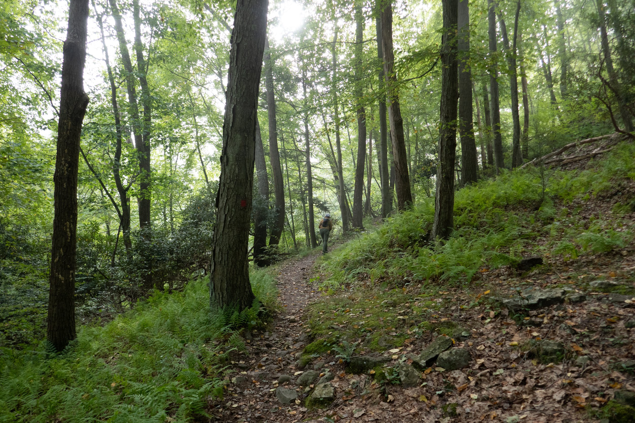
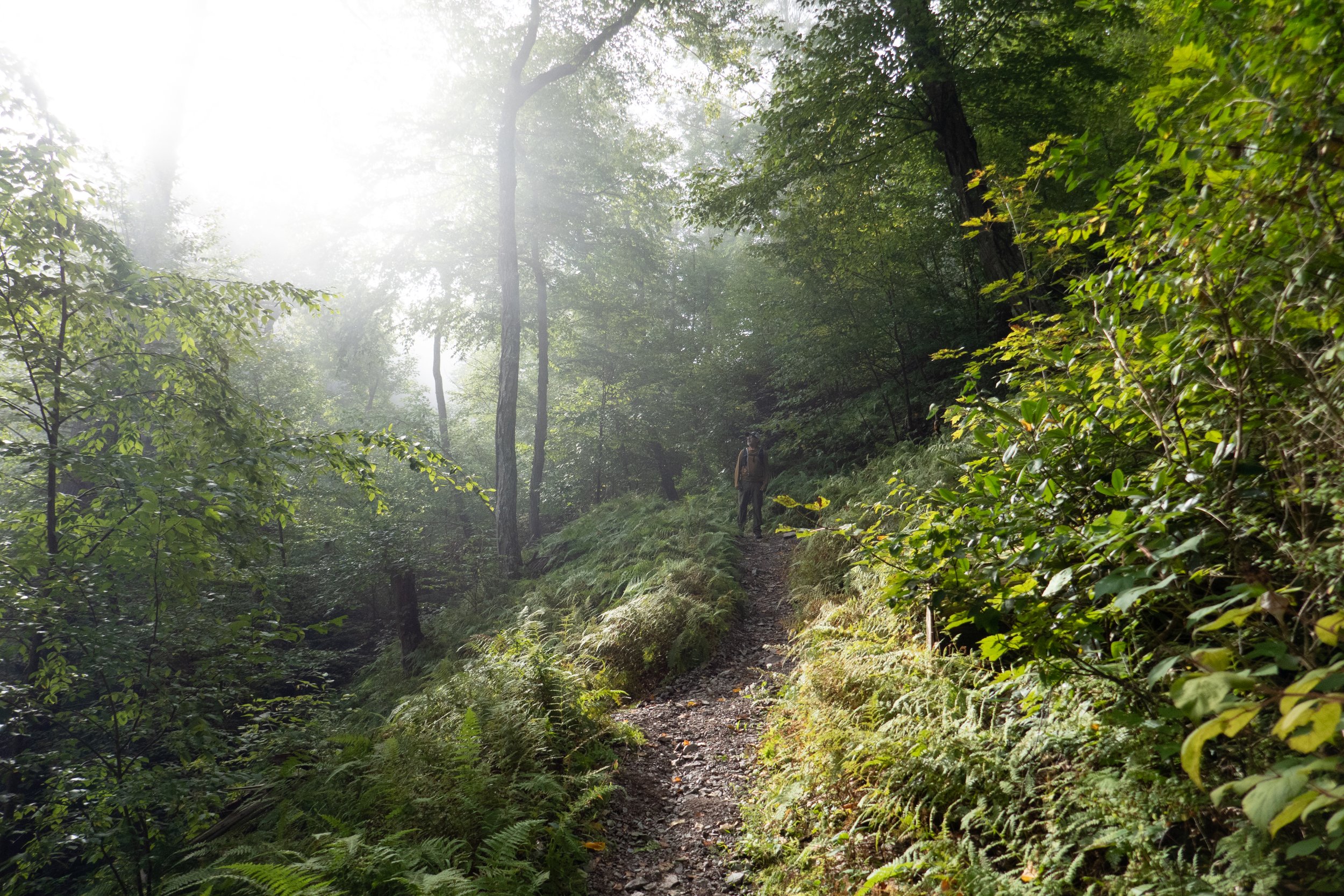
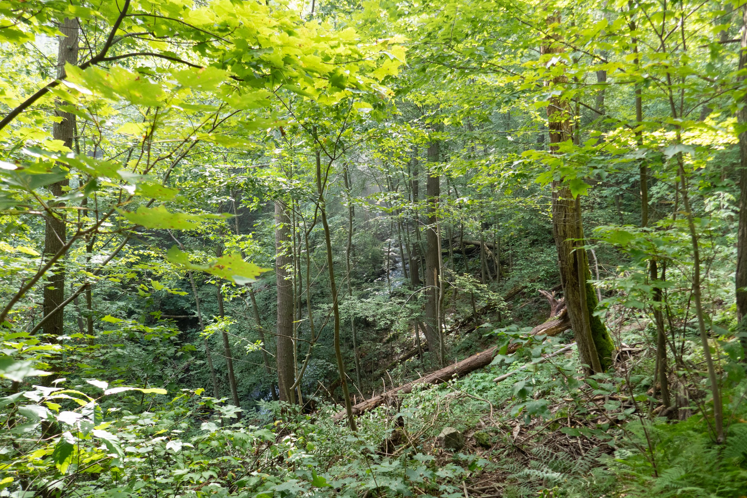
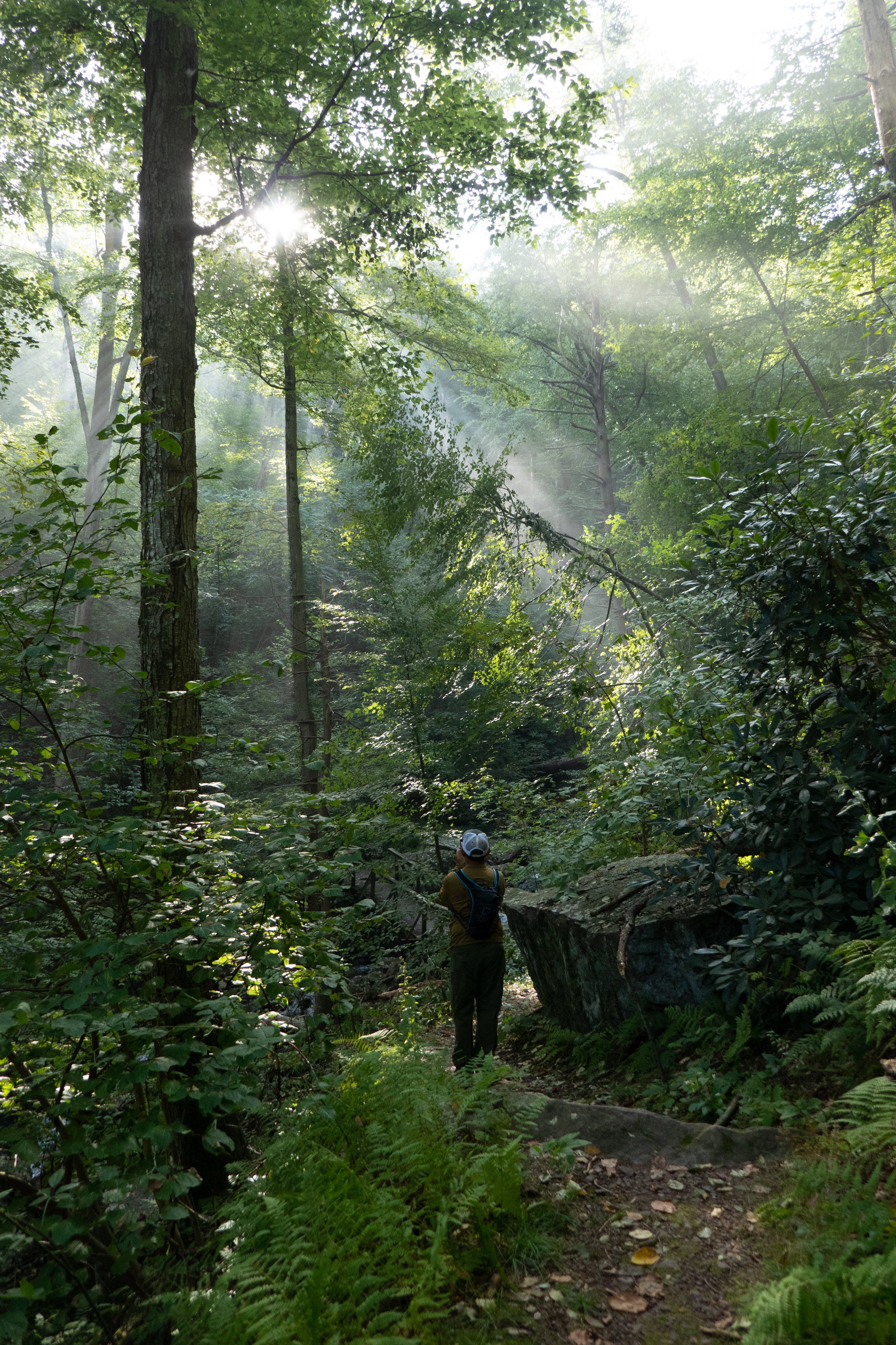
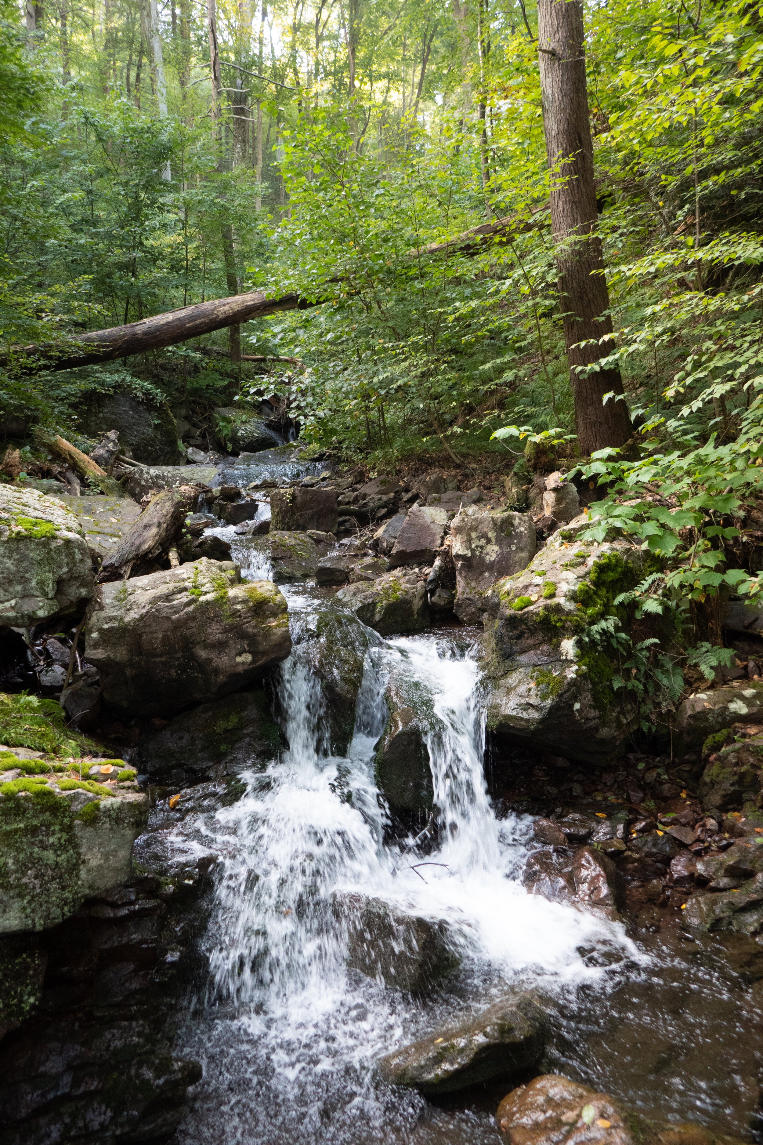
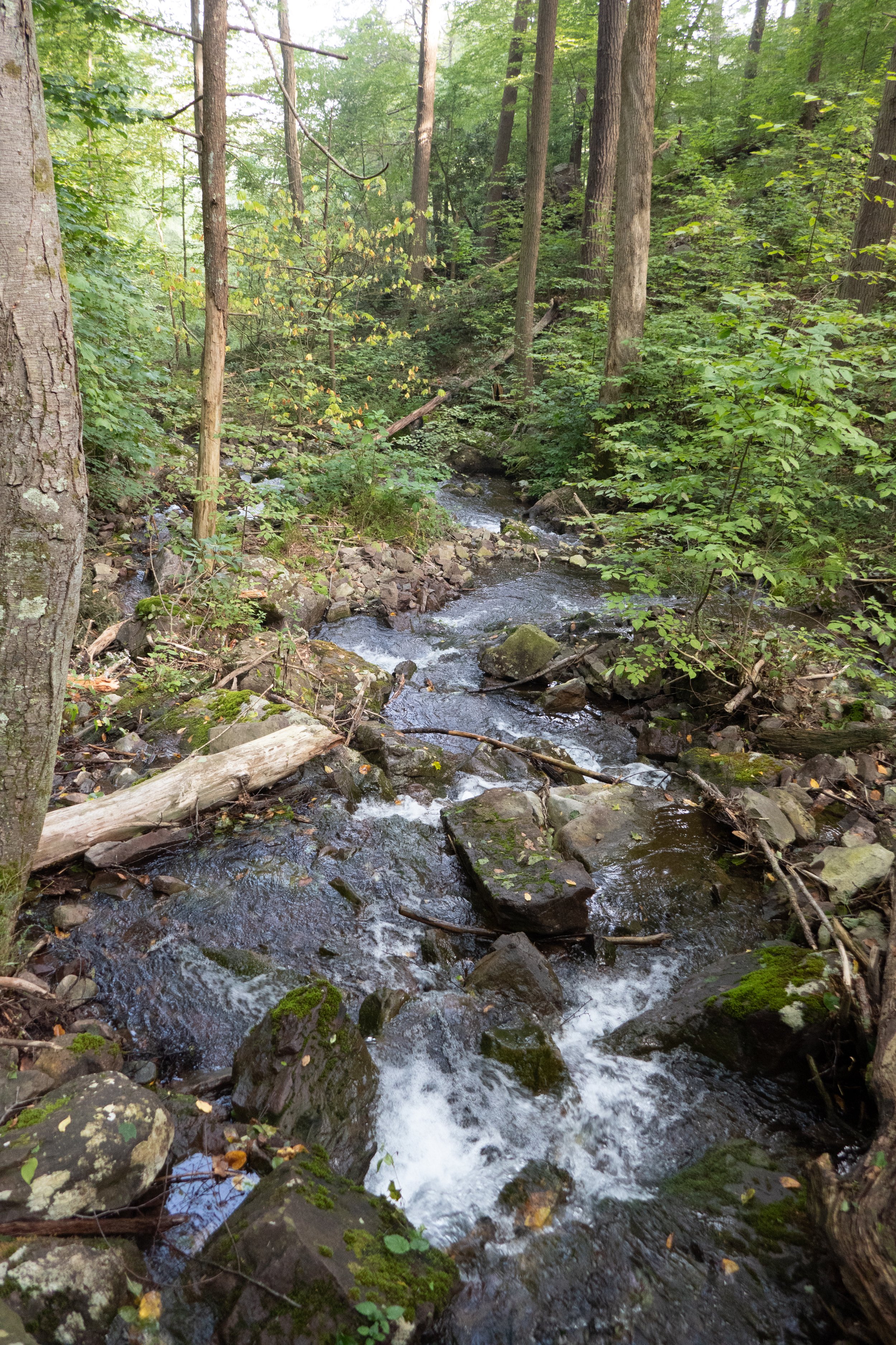
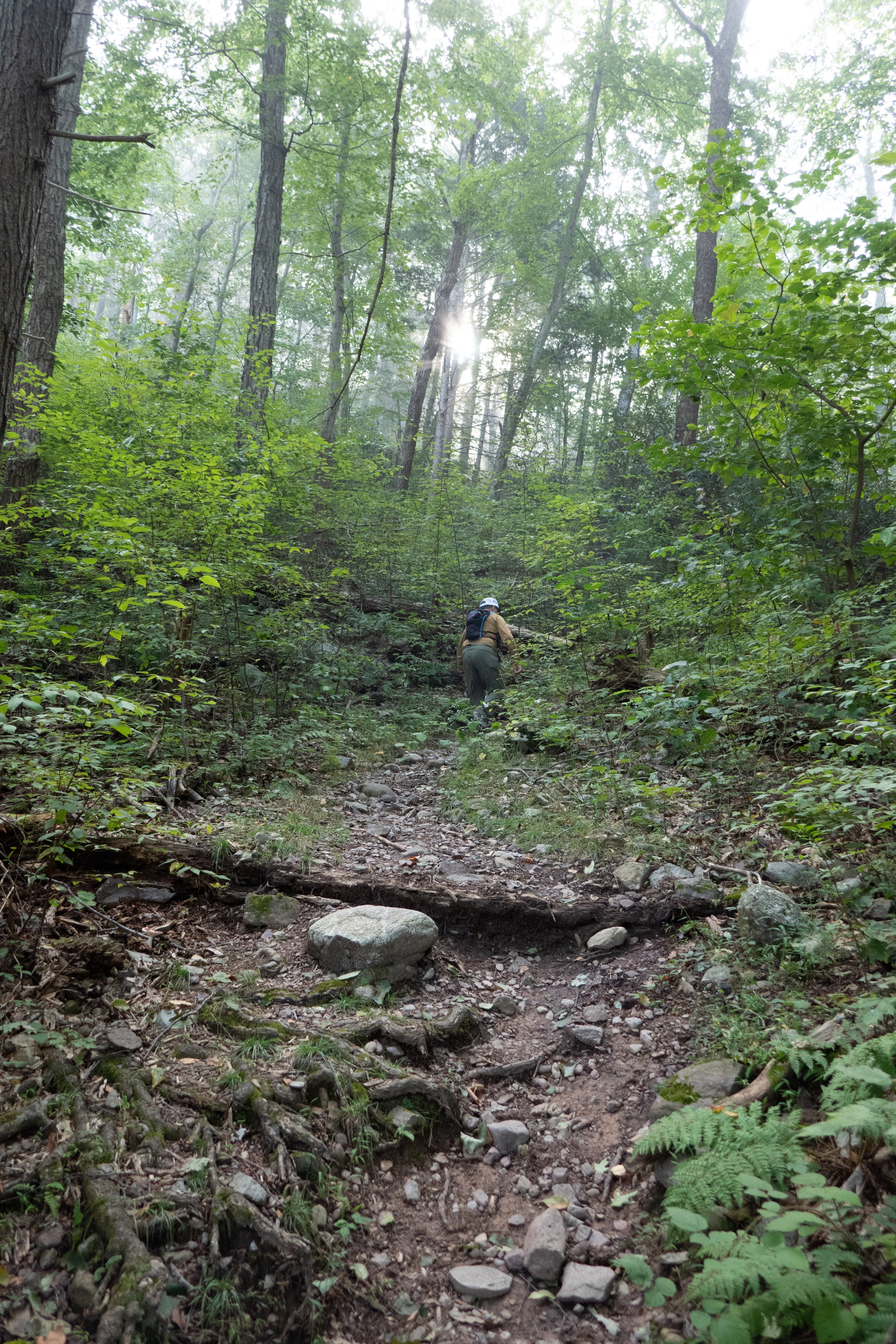
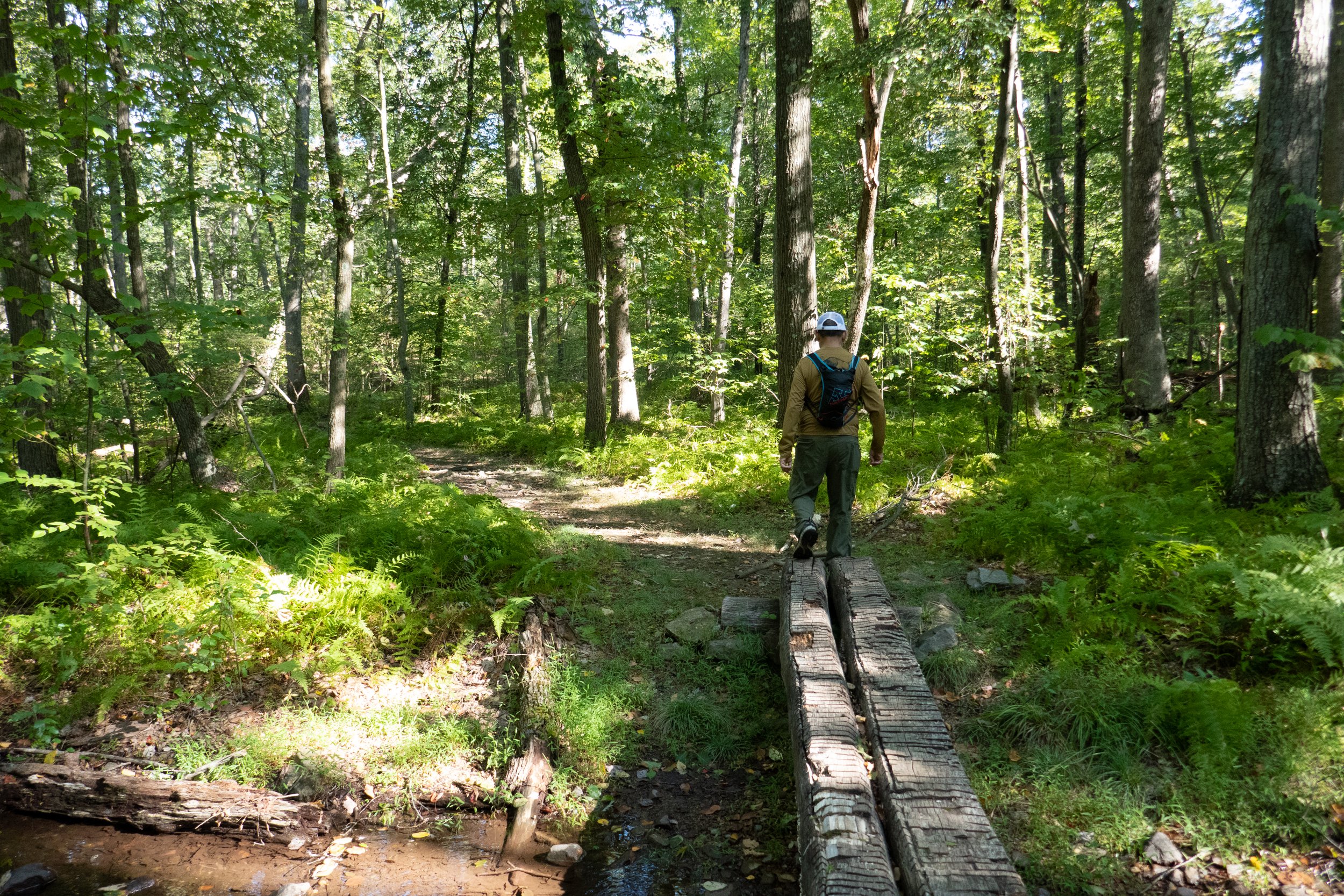
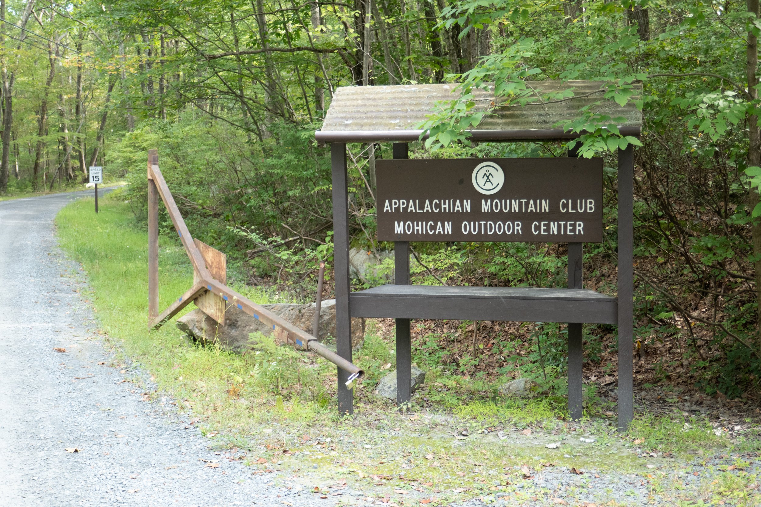
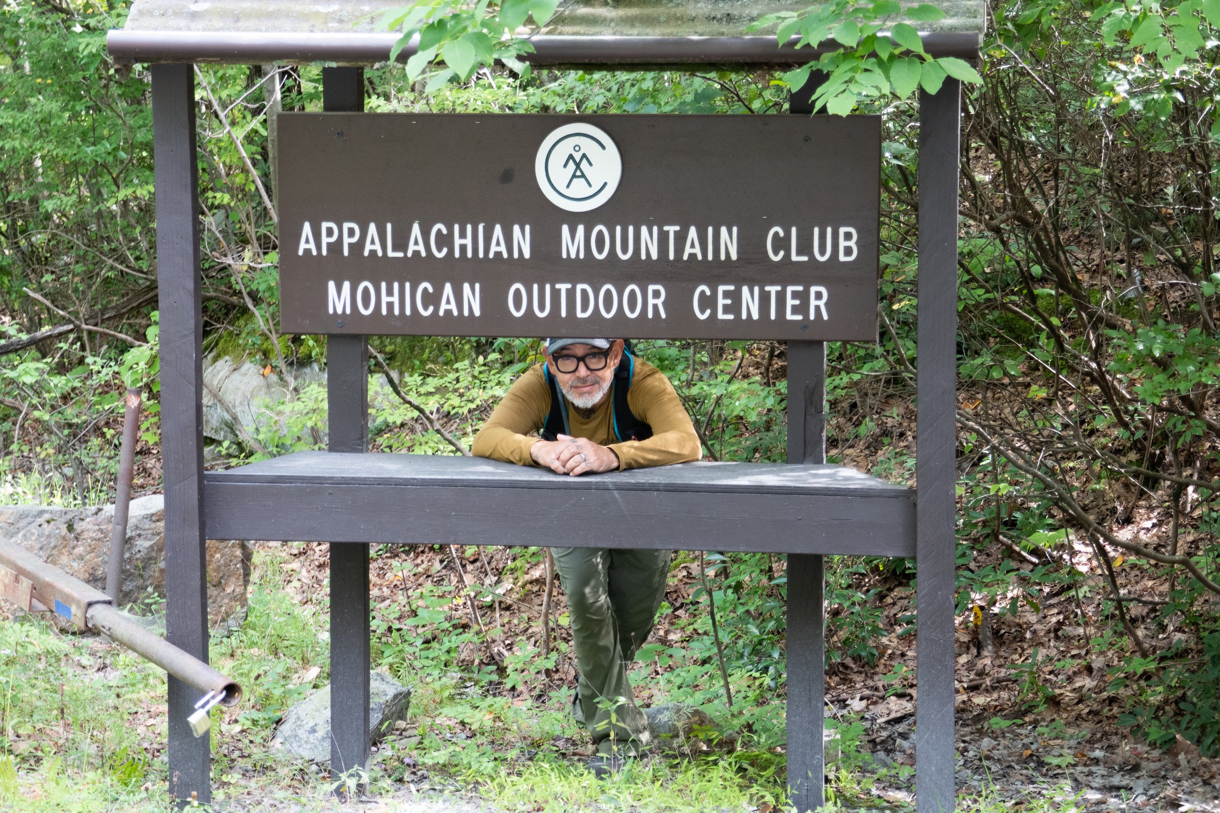
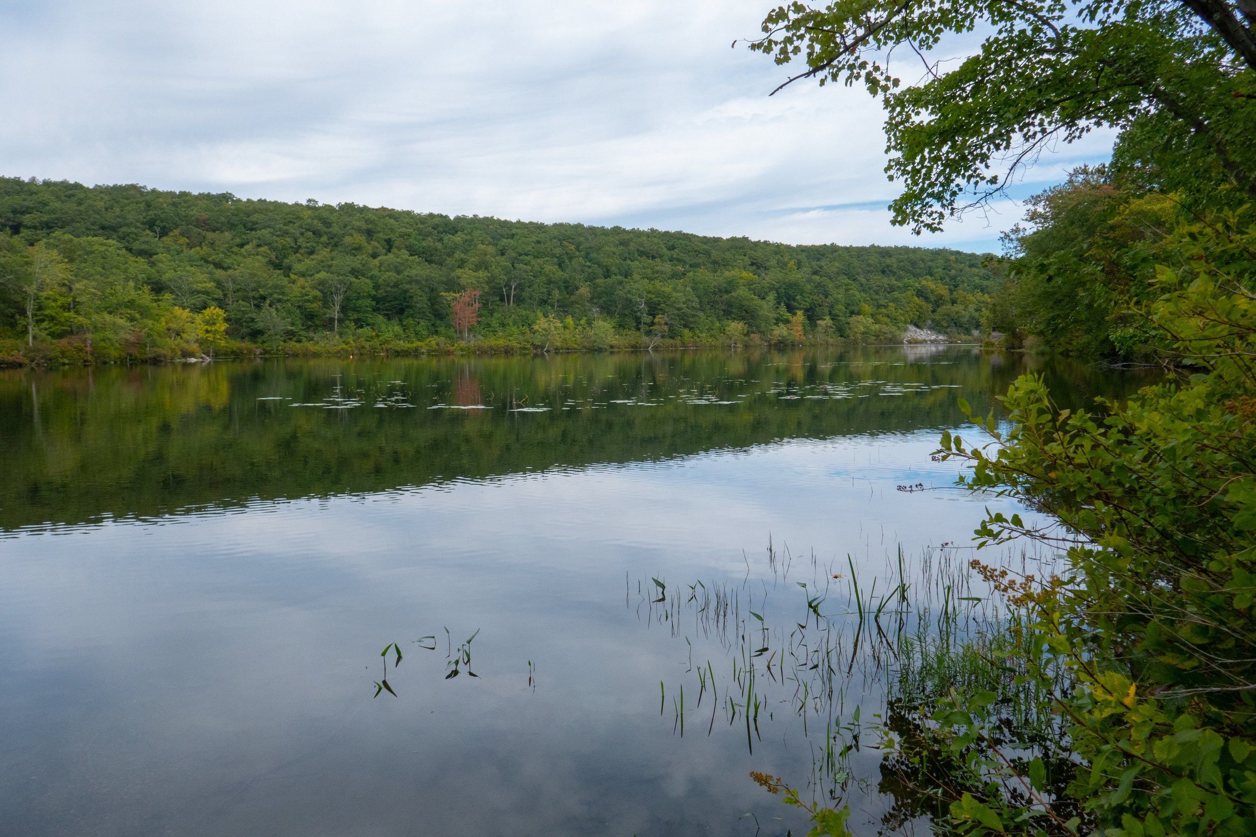
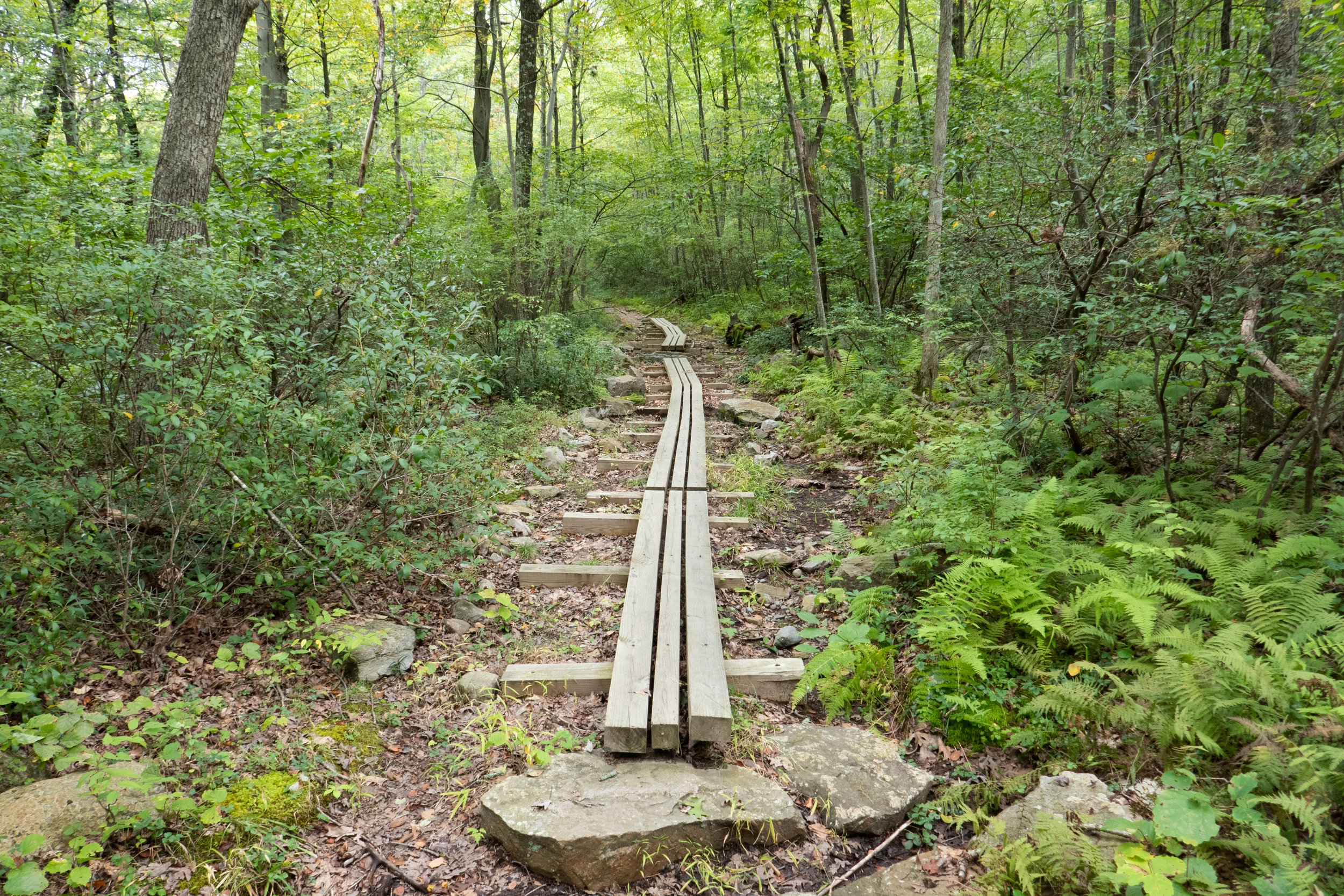
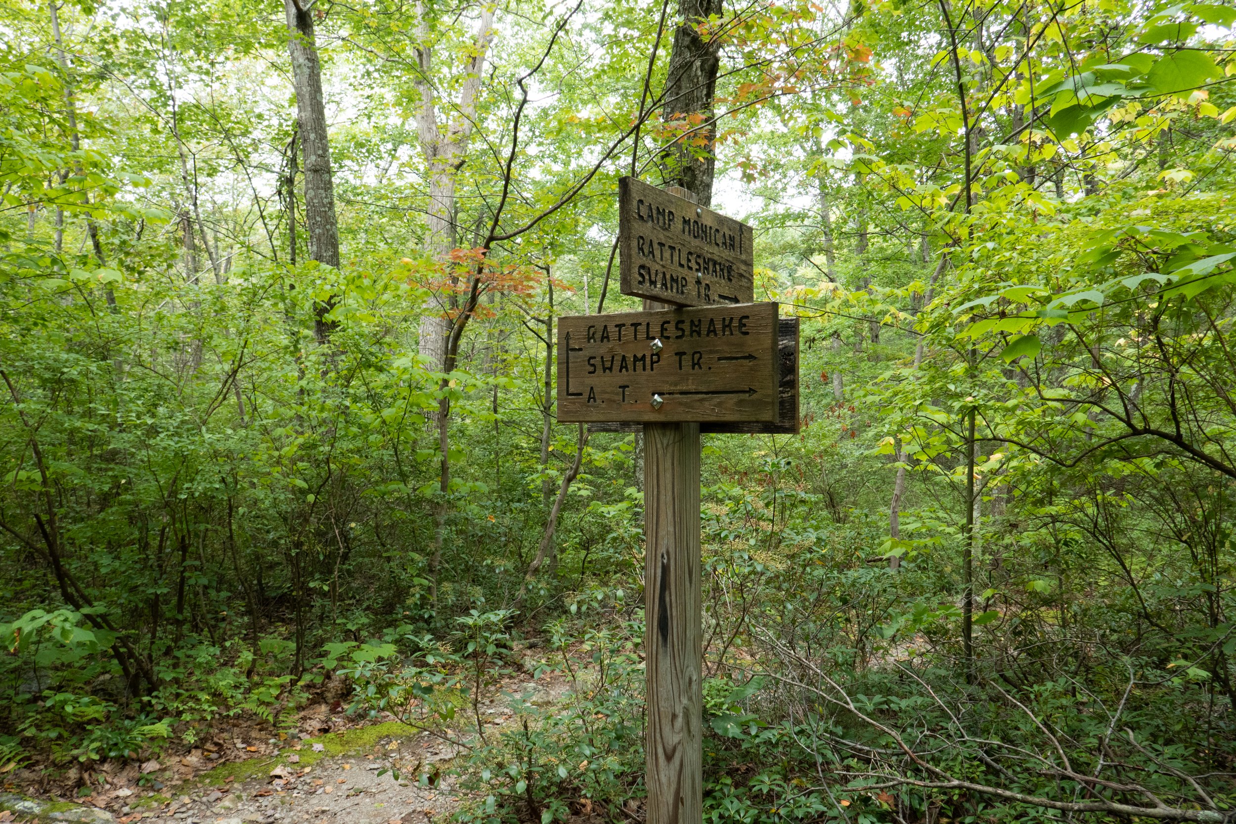
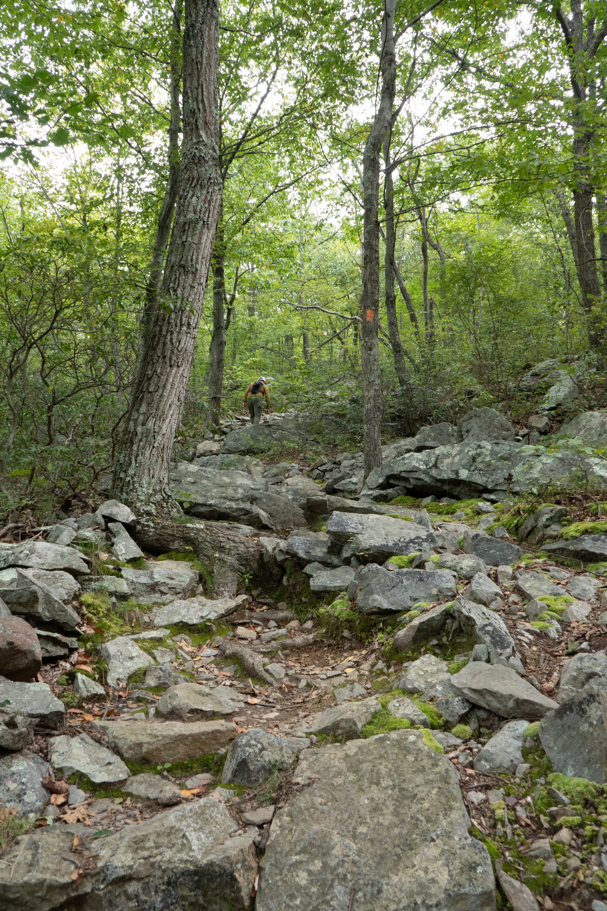
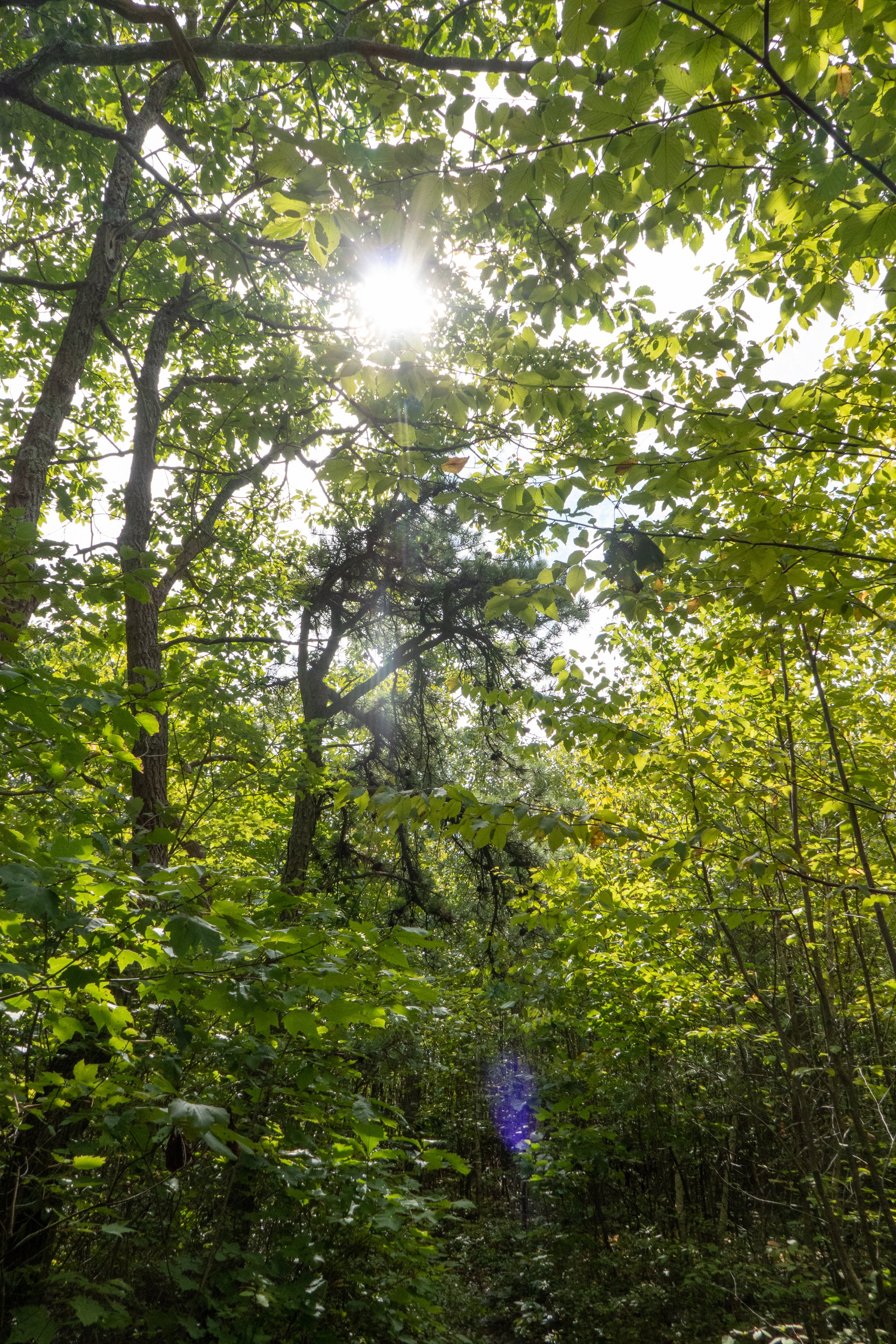
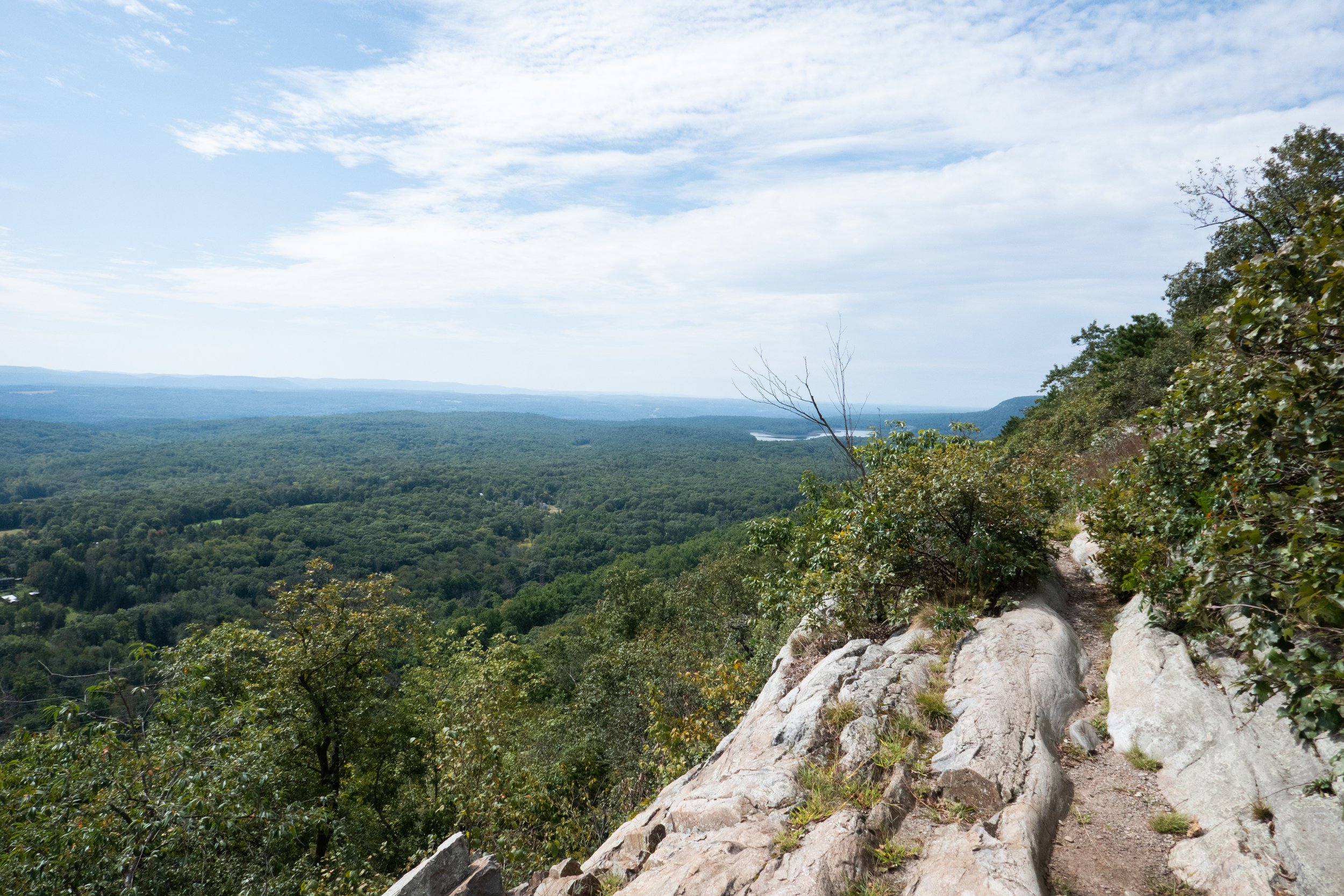
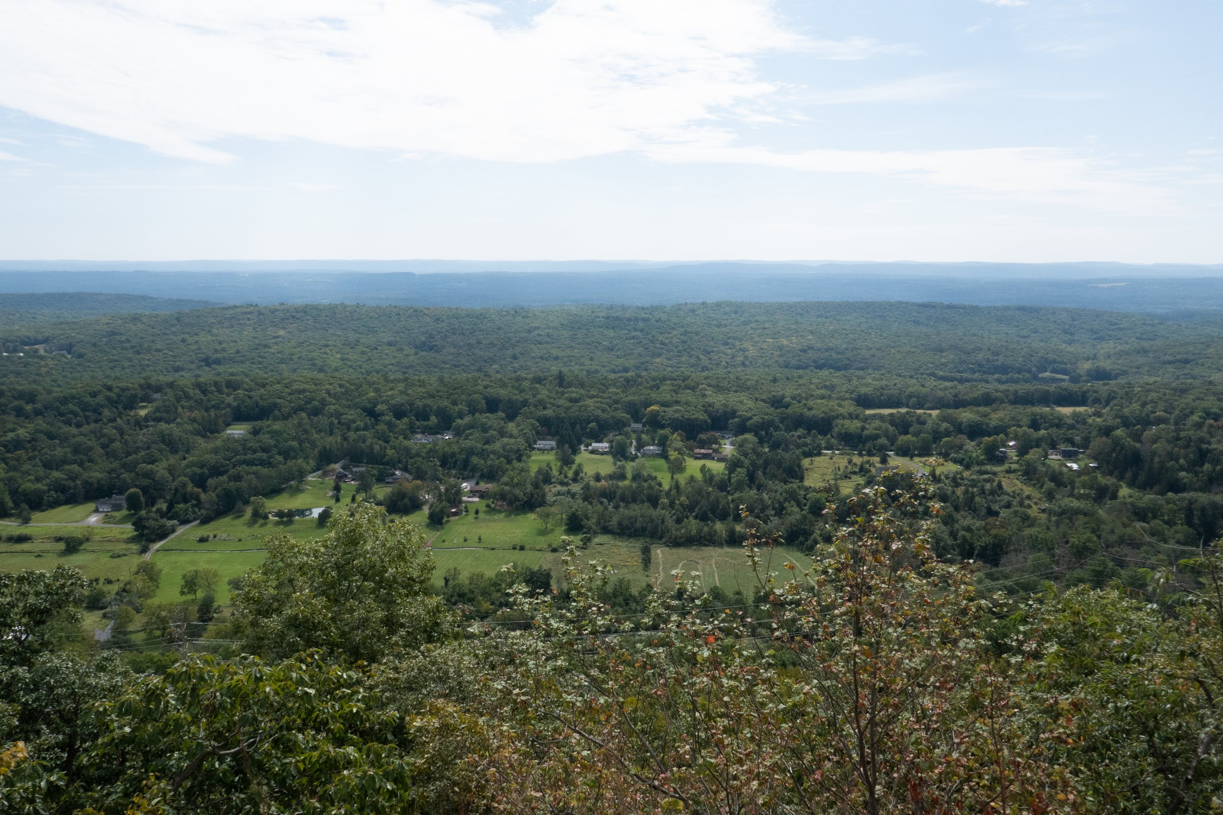
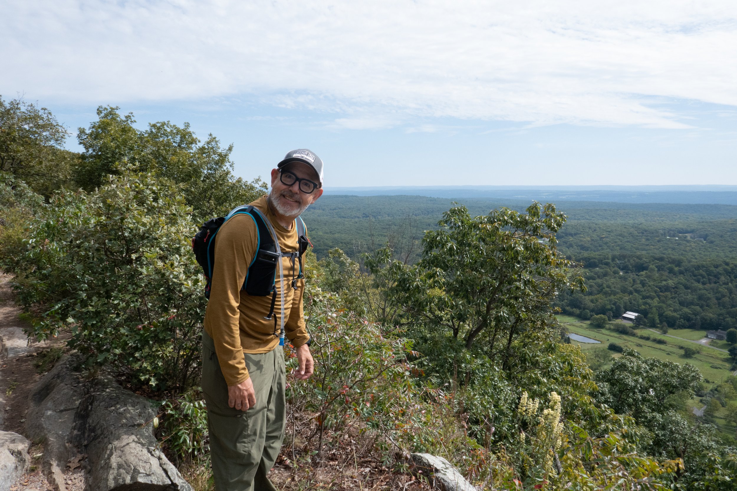
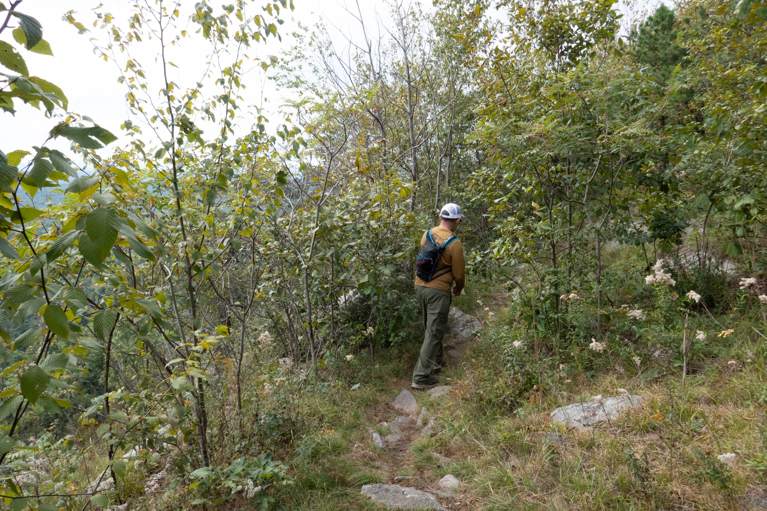
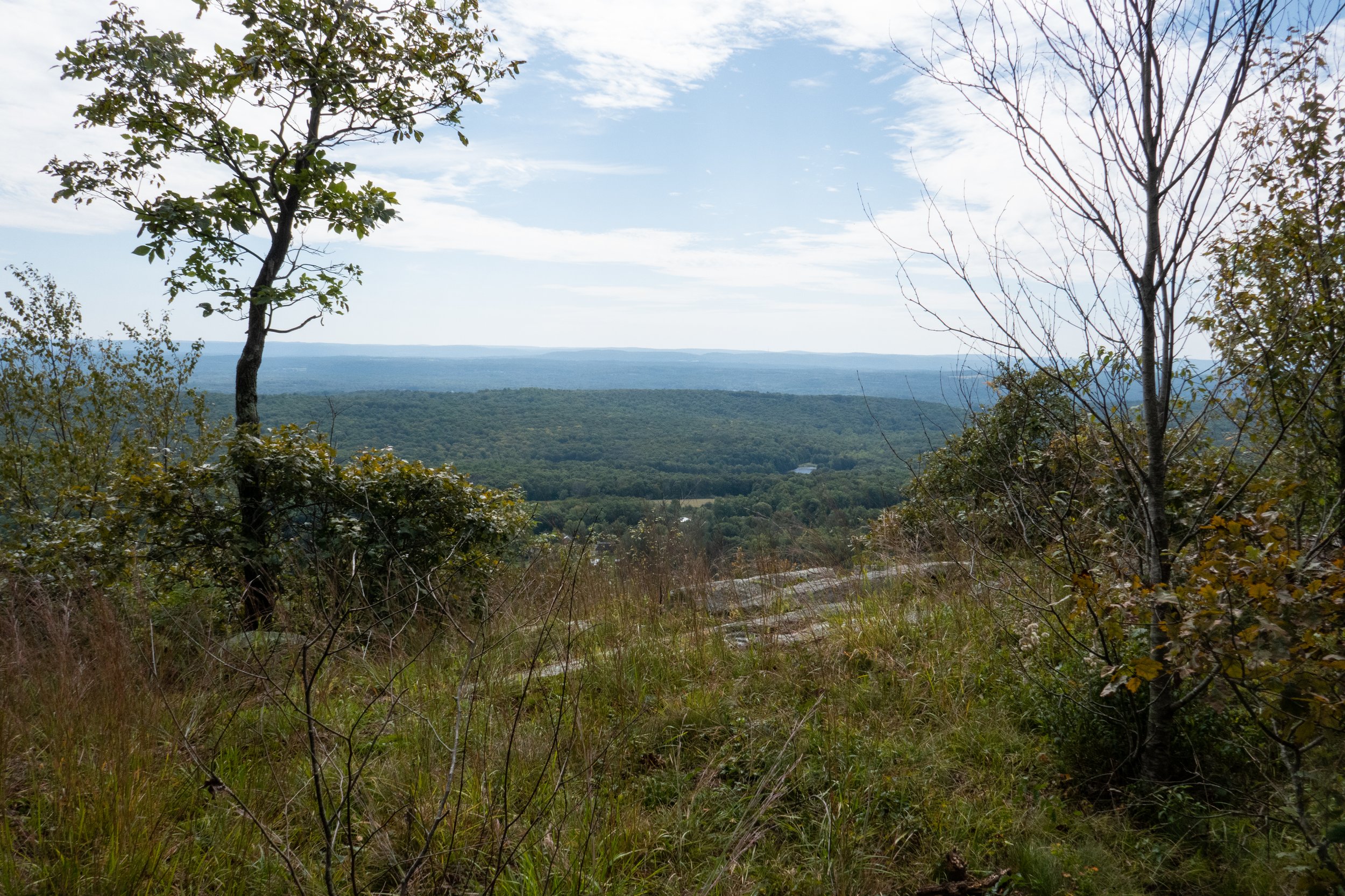
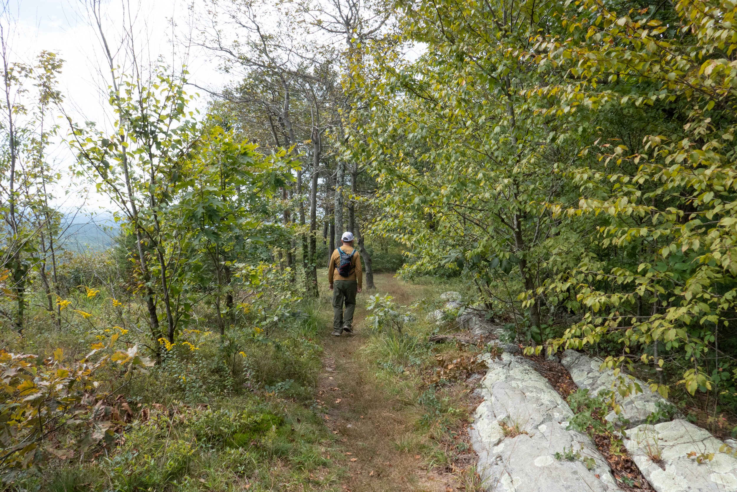
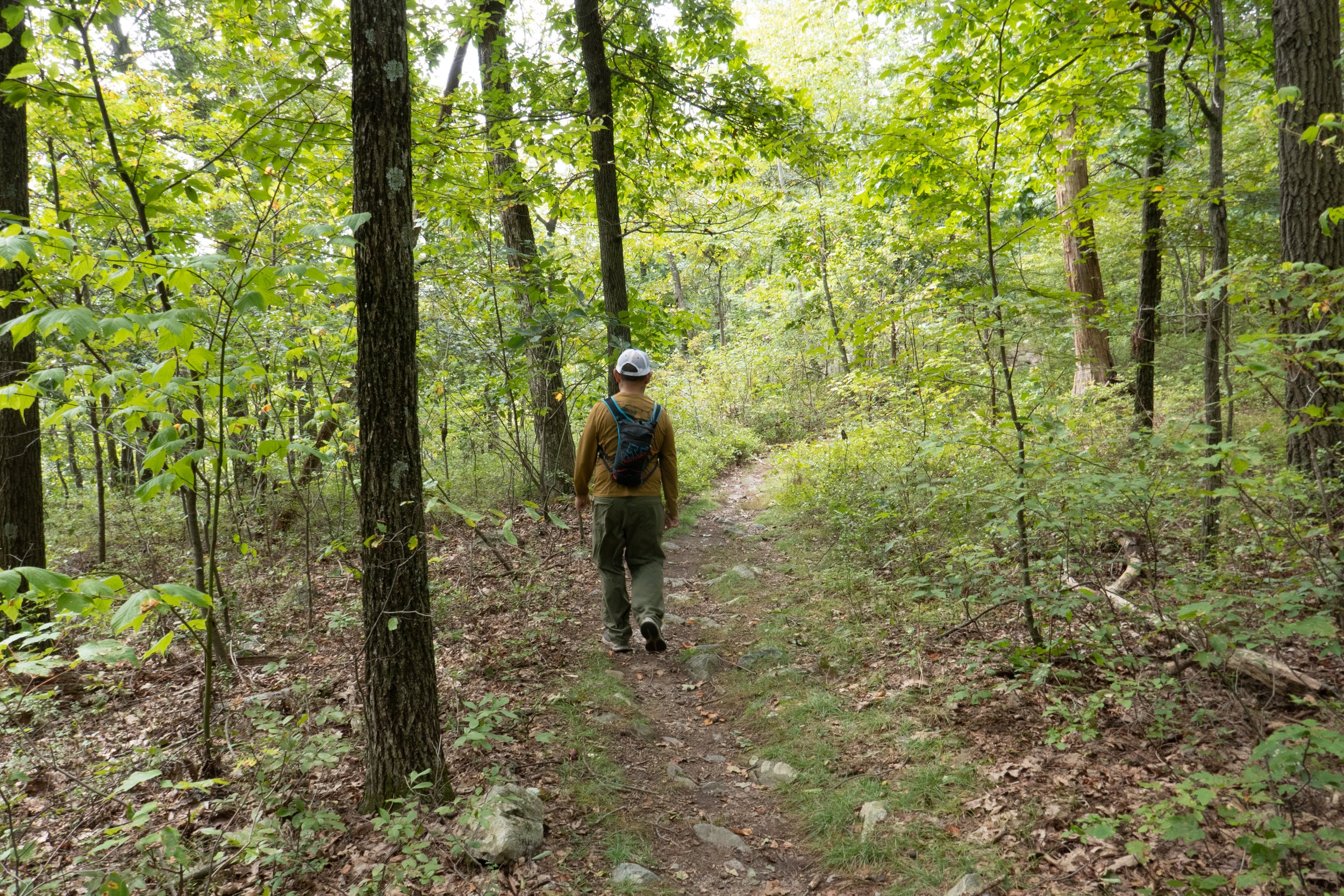
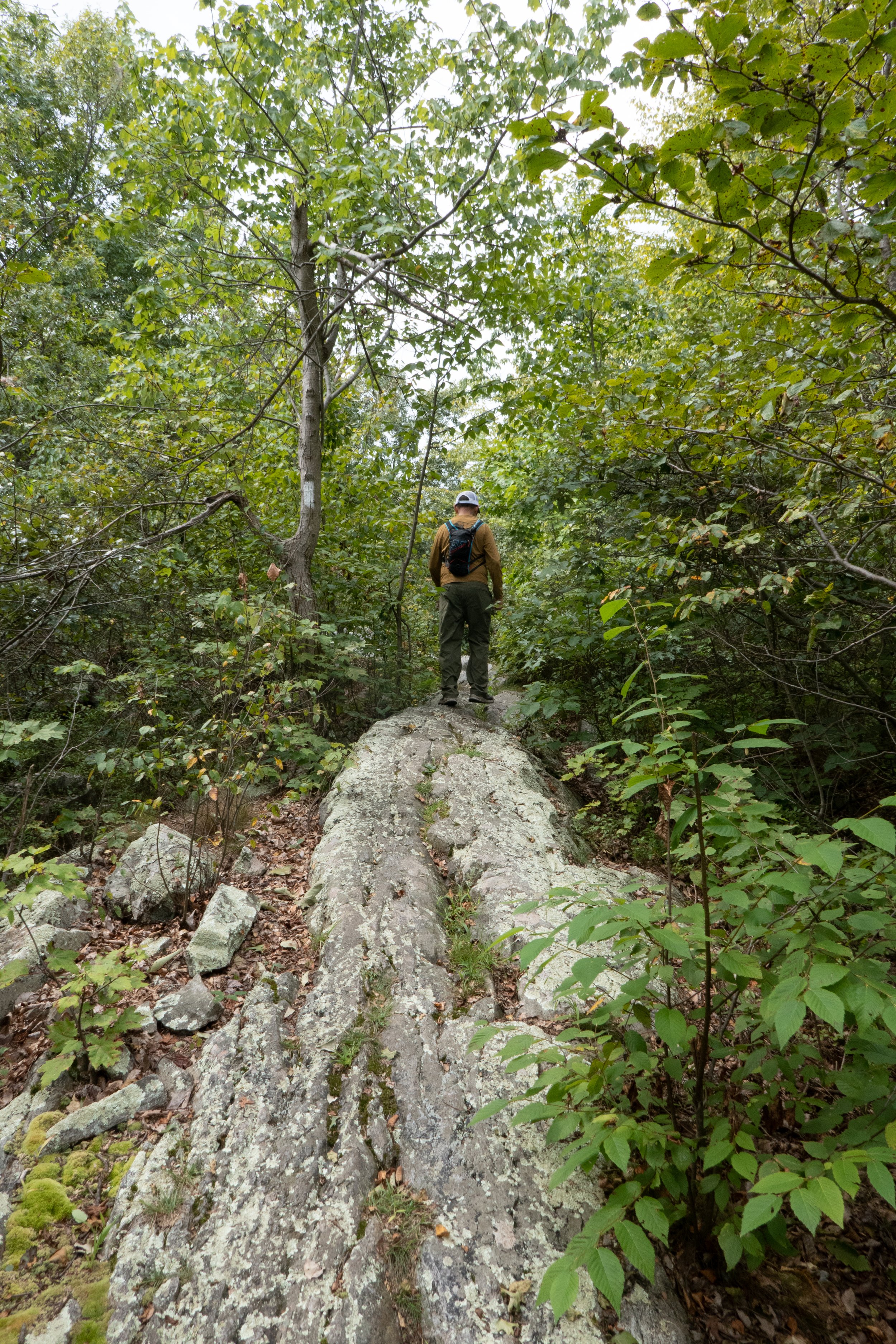
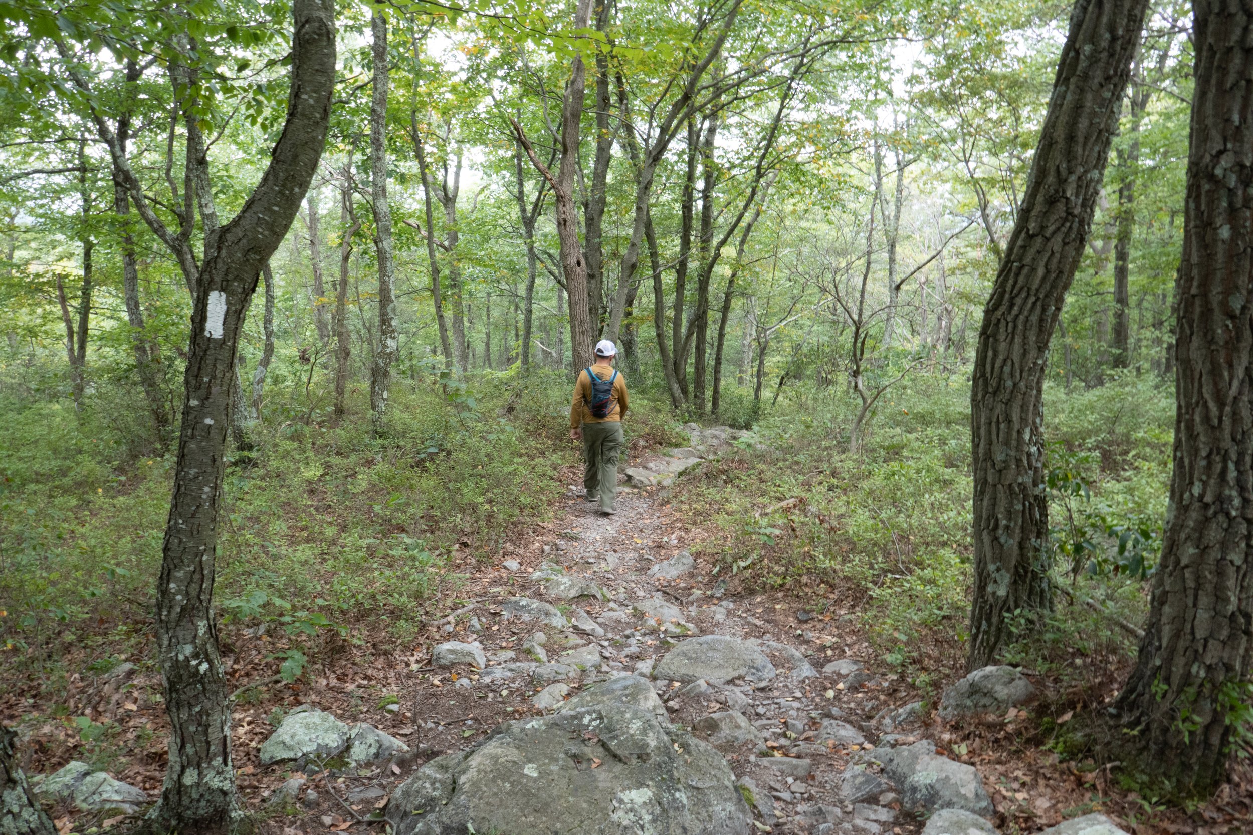
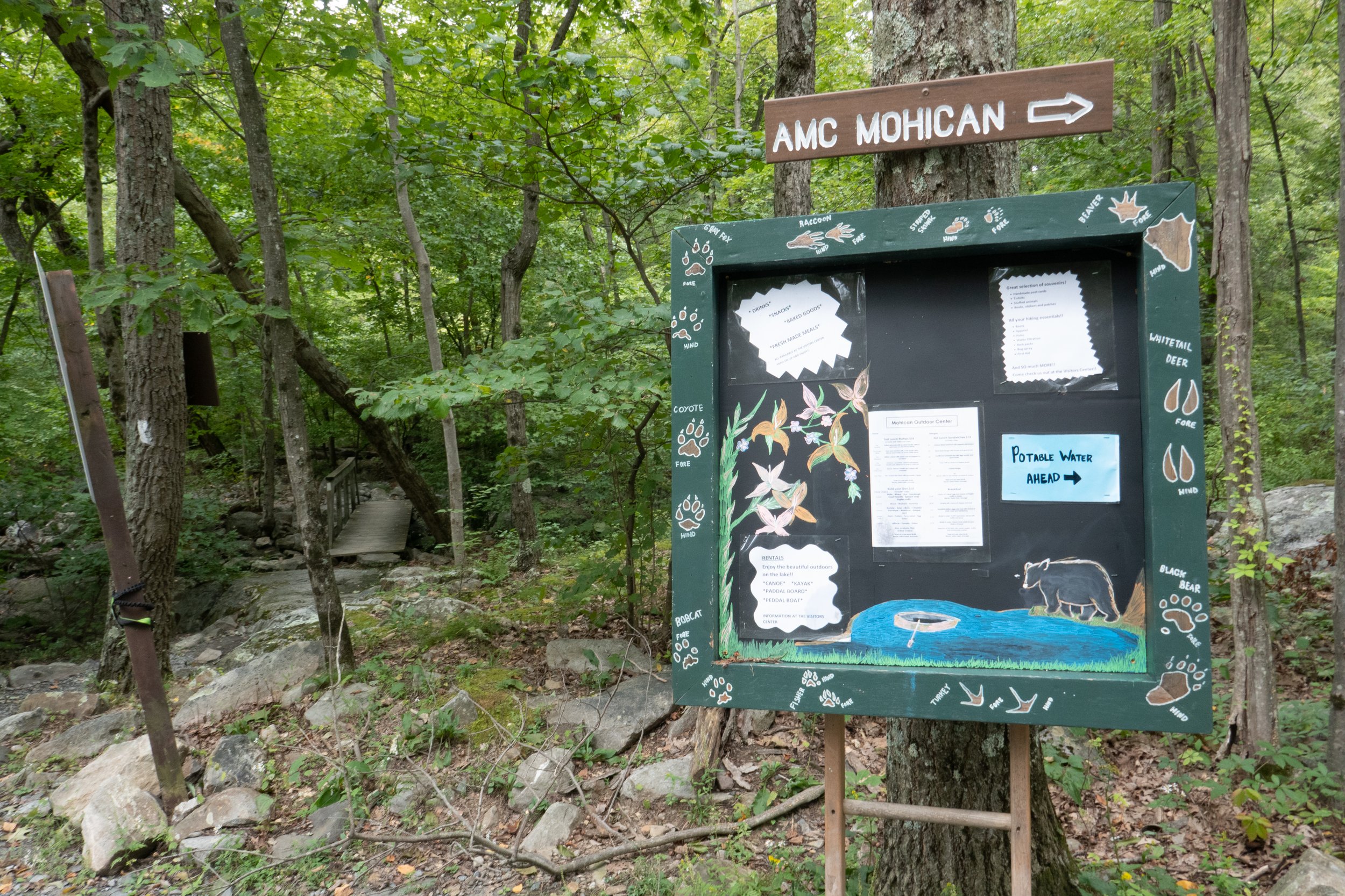
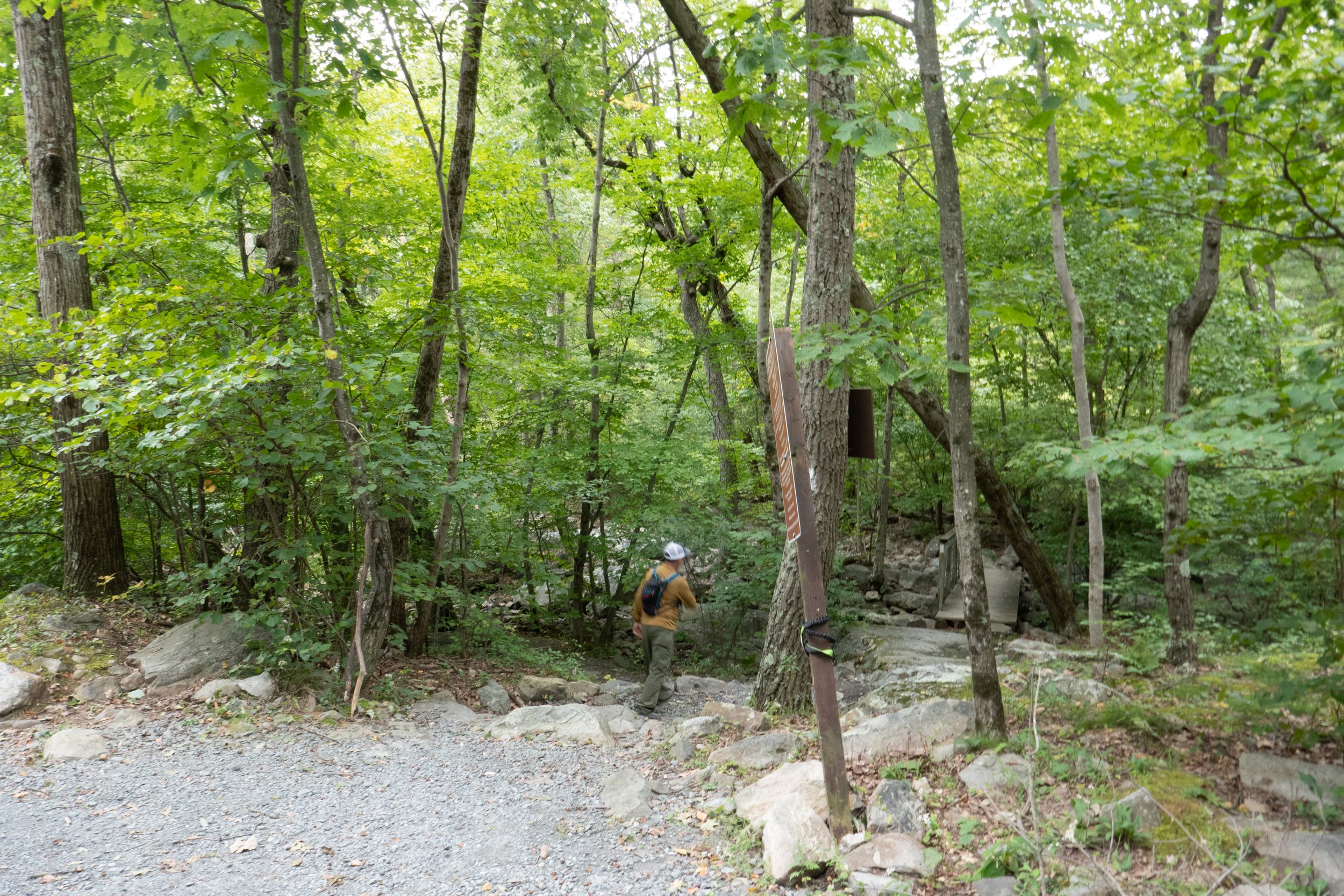
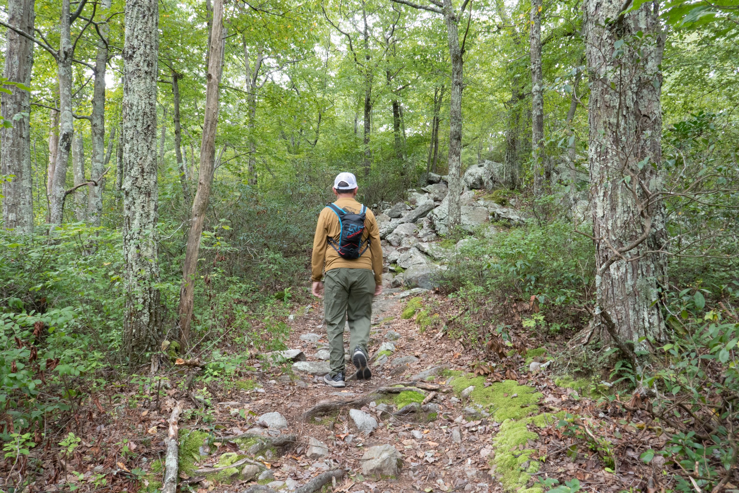
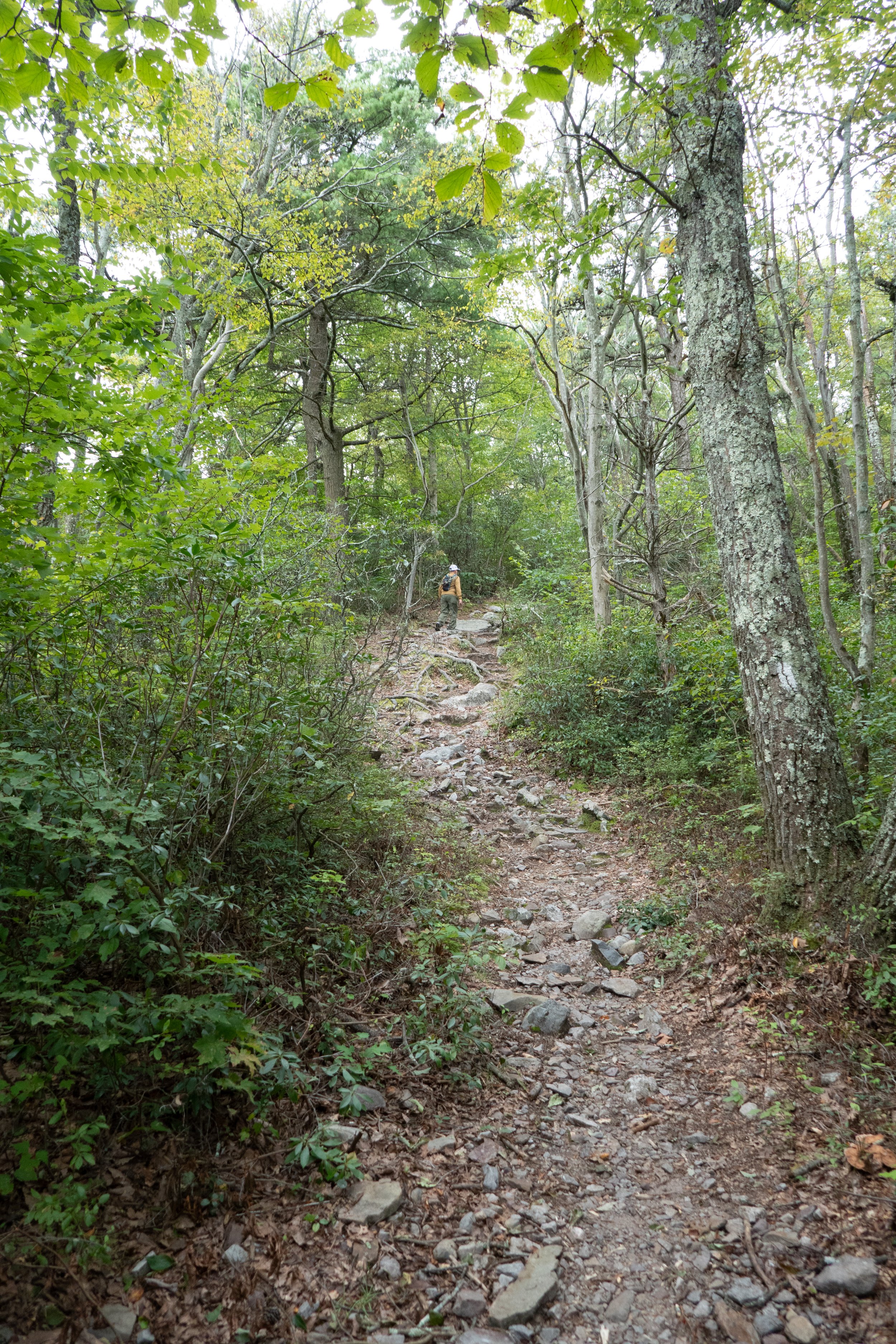
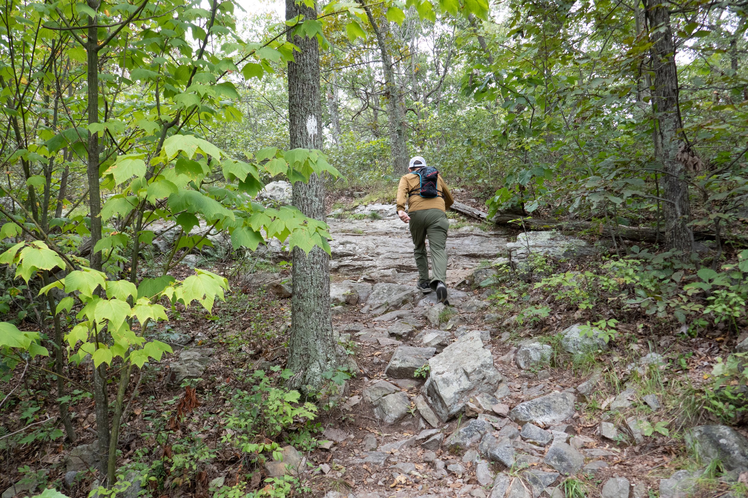
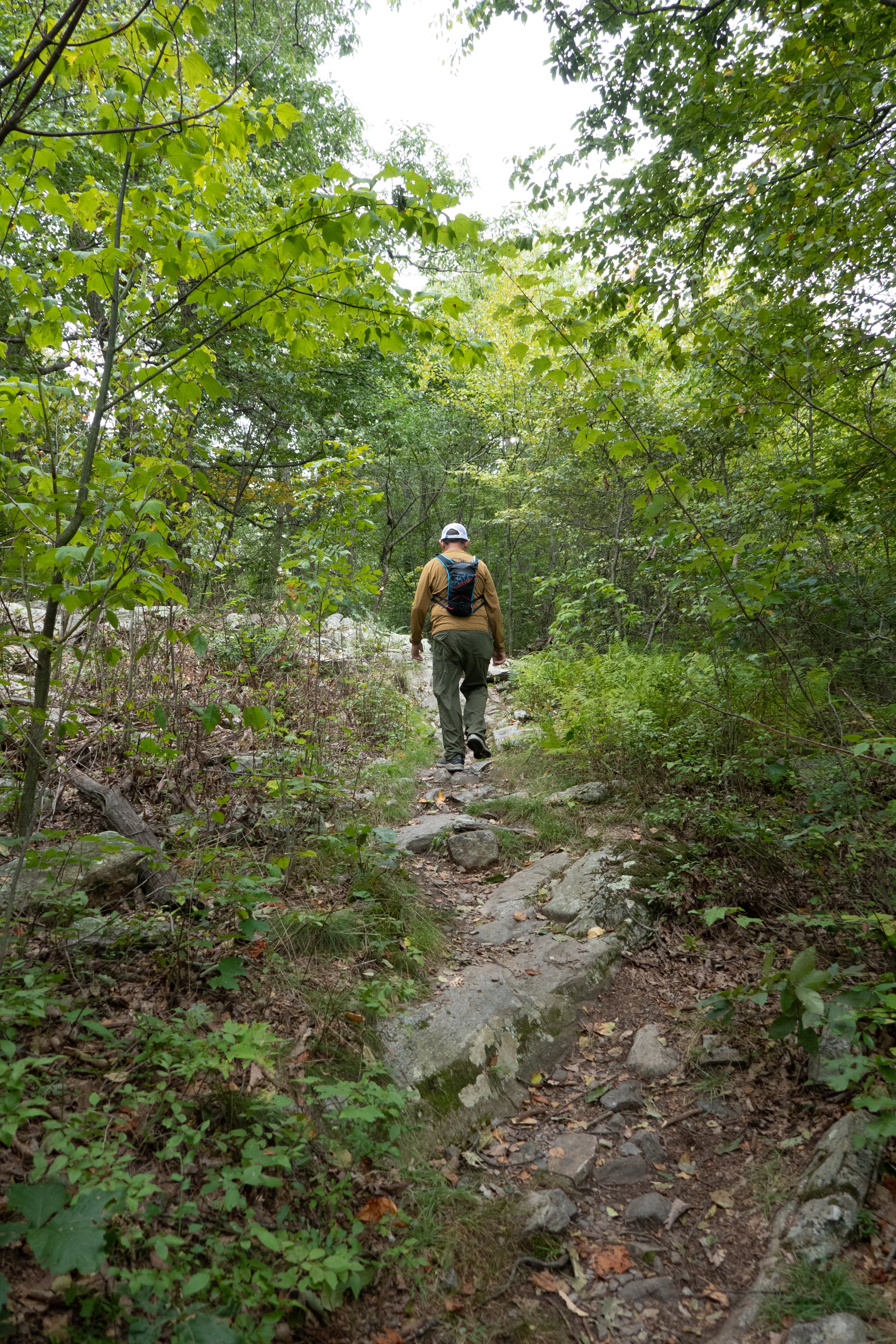
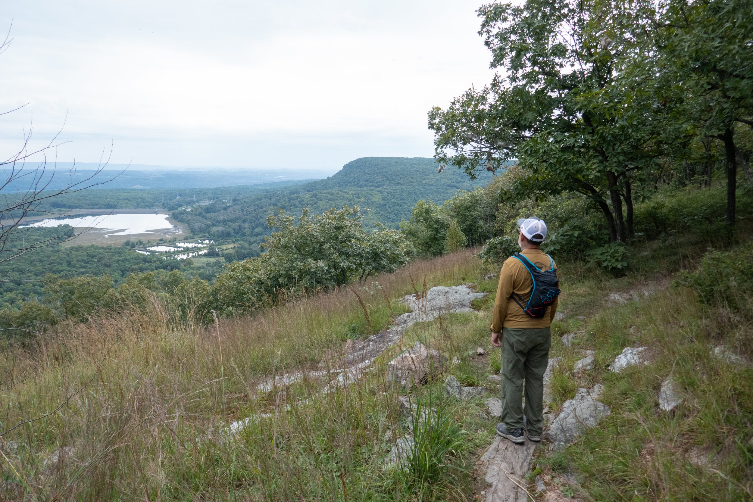
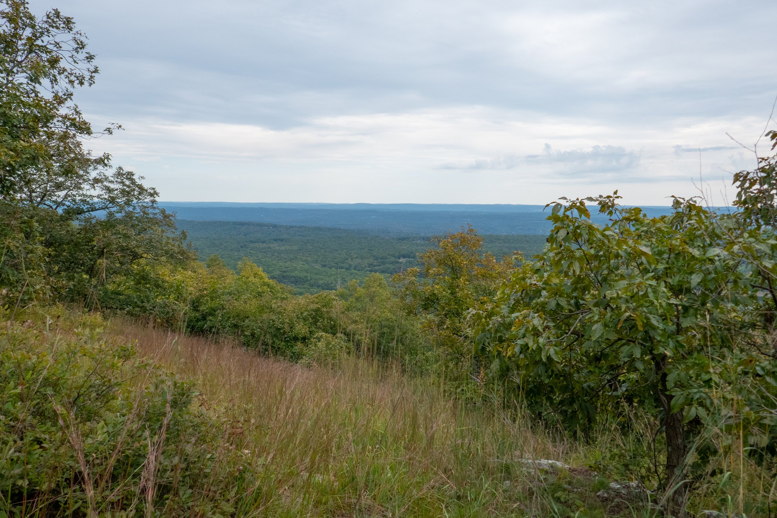
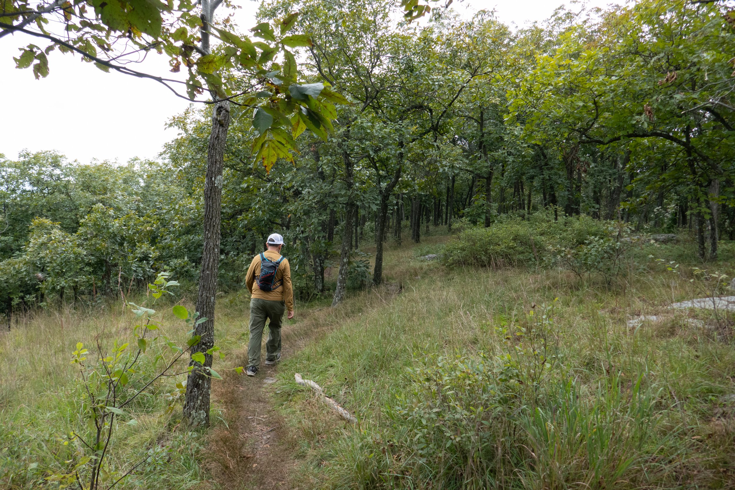
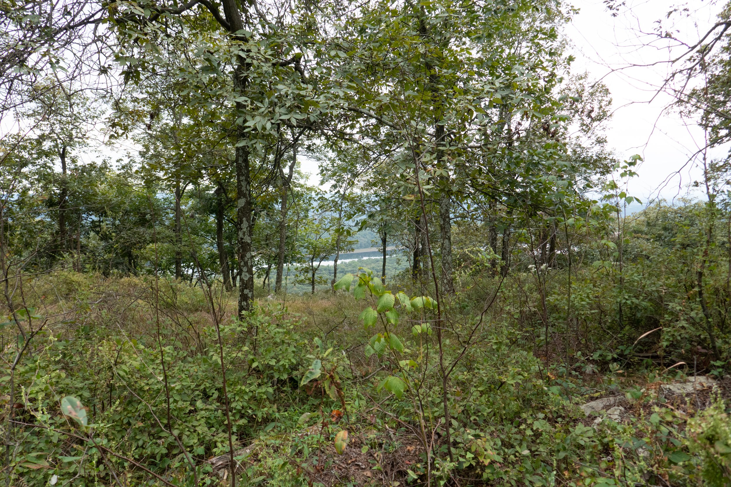
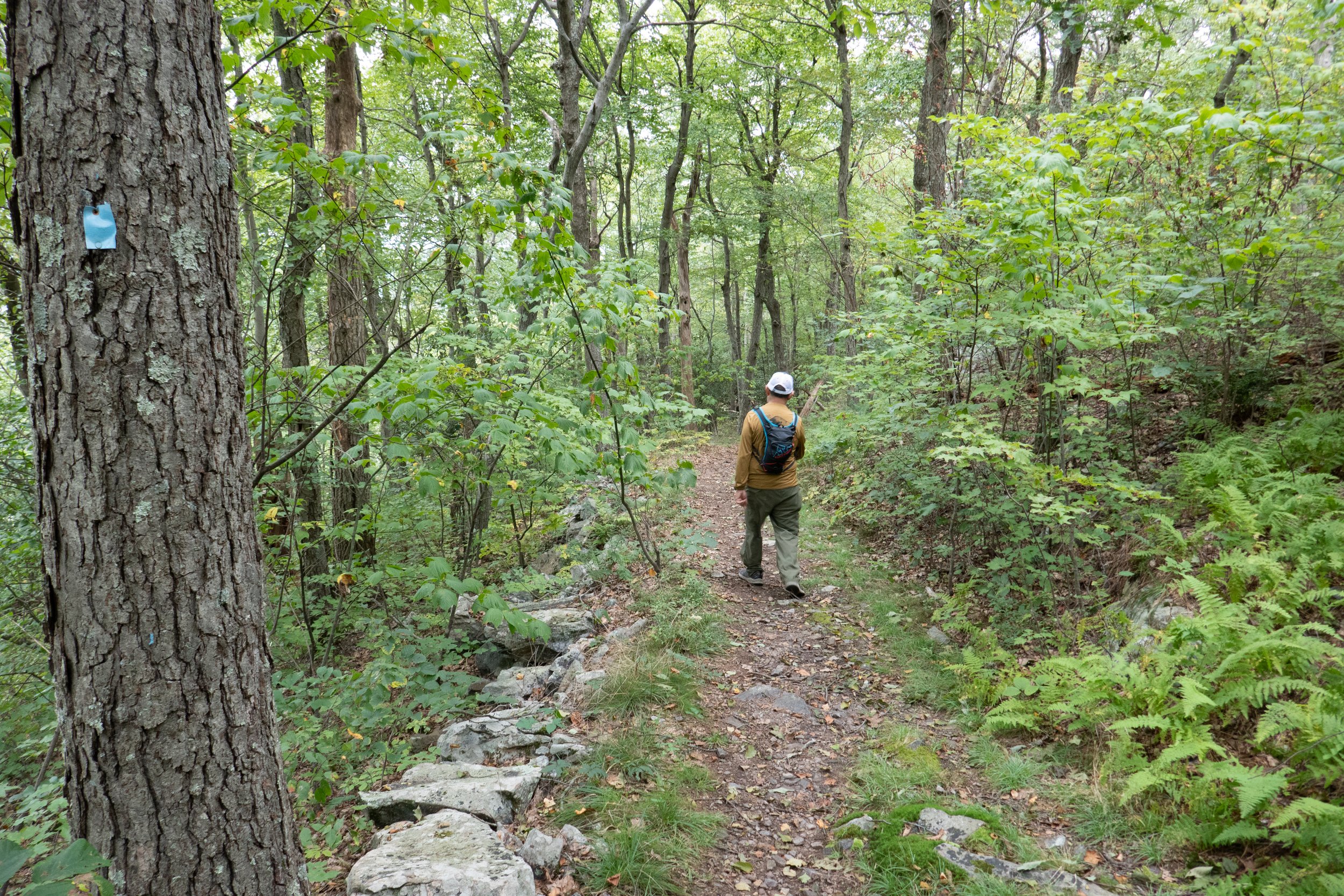
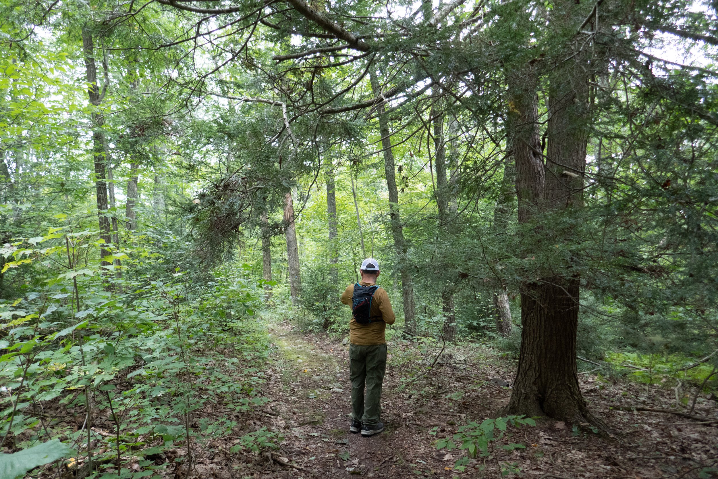
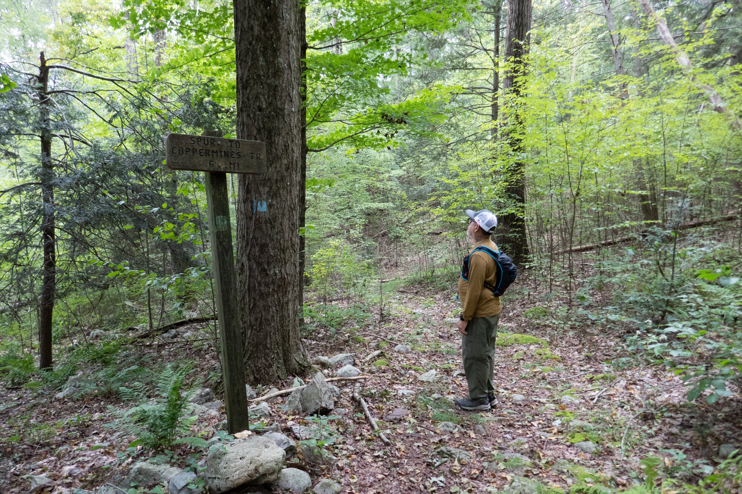
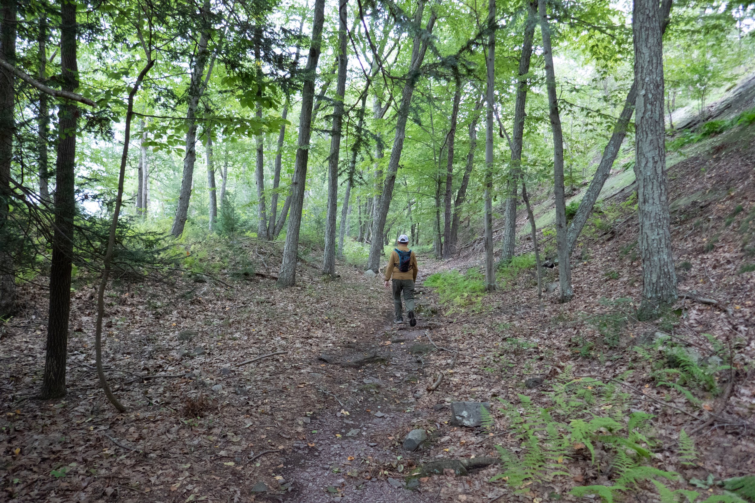
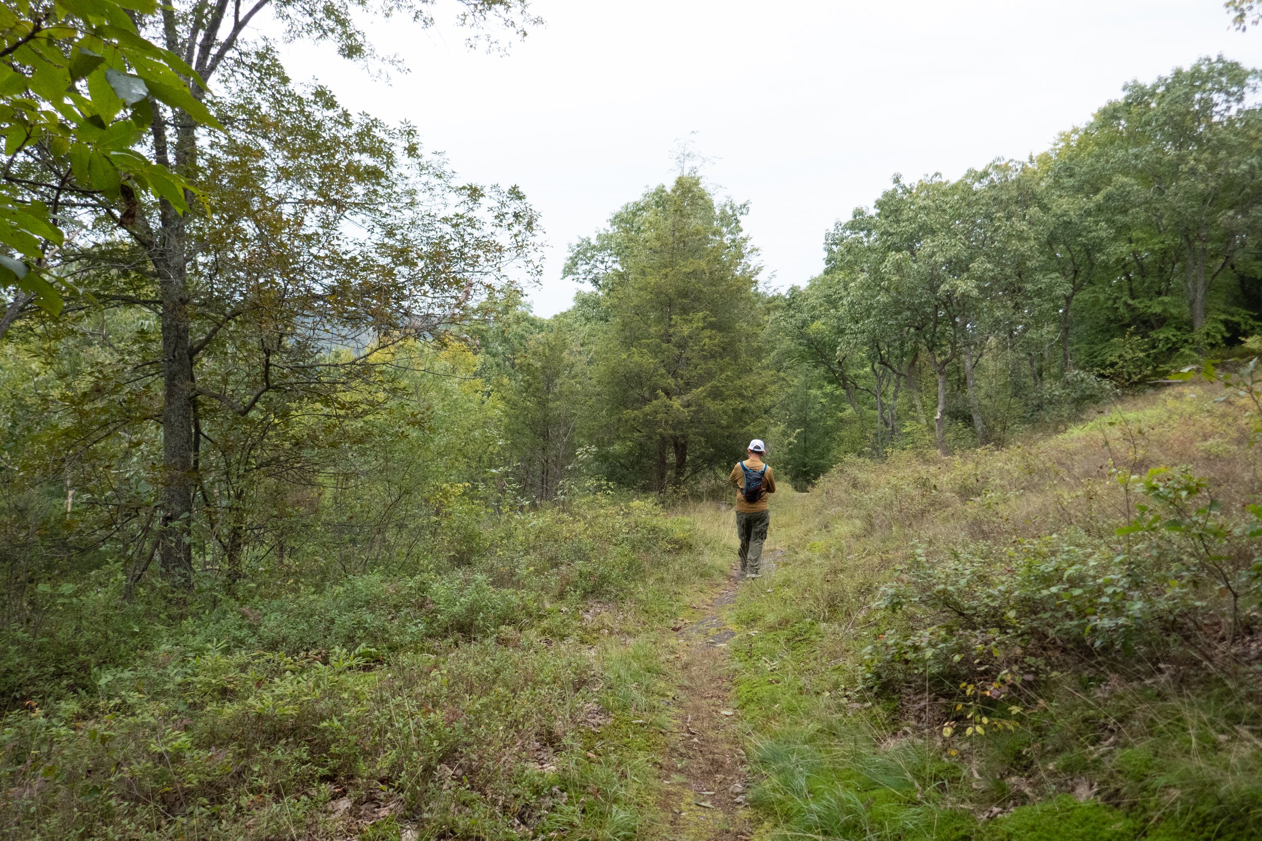
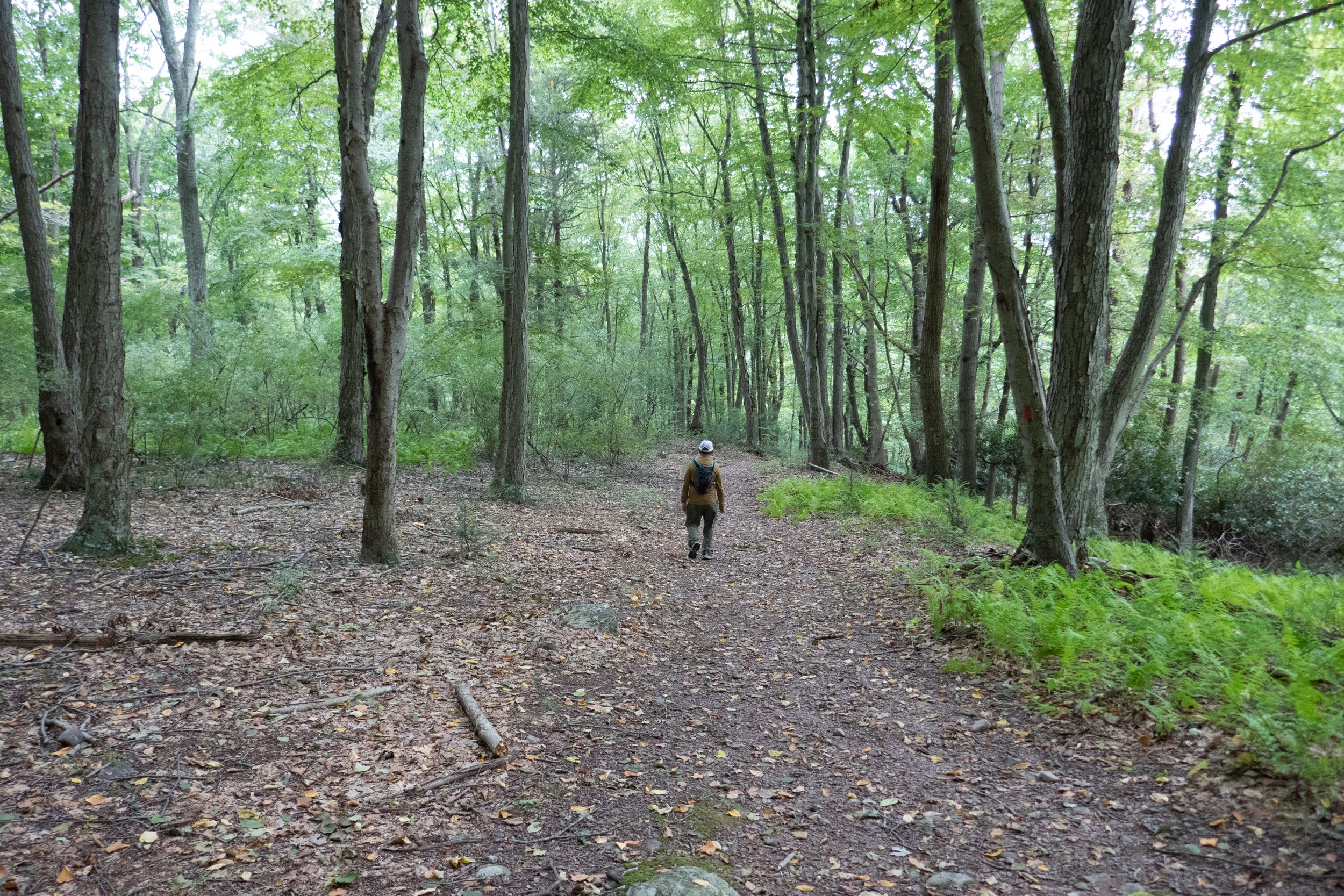
It felt so good to be back out on the trail! The humid summer weather is finally starting to let up, and I’ll be able to get back out there and put some mileage on my hiking boots. Today we headed out to the Delaware Water Gap National Recreation Area to the Copper Mine Trail. We’ve done this one several times before, but there are a lot of connecting trails you can pick up and make the day as long or short as you want. We headed up past the mine, crossed the bridge over a small waterfall and then began to ascend up the ravine. It was one of those misty mornings where the sun’s light shines down through the mist, making the trail look extra pretty. We continued to the top of the waterfall and entered into a forest of mostly hardwoods where the trail leveled out. Soon we reached Camp Mohican Road and decided to check out the Appalachian Mountain Club’s Mohican Outdoor Center. It was a nice surprise that we’d never been to before. The center has coffee, food, outdoor picnic tables and also a recreation and rest area for weary A.T. thru hikers. After checking out the center, we decided to head further up the road where we would climb up the Rattlesnake Swamp Connector Trail to the top of the Kittatinny Ridge, follow the A.T. Southwest and then loop back to the Mohican Outdoor Center to get some food. The loop trail Rattlesnake Swamp started out on flat boards crossing a wetland. It soon climbed steeply up to the top of the ridge where we had mostly unobstructed views along the A.T. We followed the A.T. about 1.5 miles until we were back at the road to the Mohican Outdoor Center. I had my eye on the pancakes I’d seen when we were there earlier. As far as I’m concerned, there’s nothing better than finding a place that serves coffee and pancakes in the middle of a hike. The ladies working at the center were super nice and we chilled out at one of the outdoor picnic tables and ate before heading back on the trail. Before hiking out, we checked out some of the campsites in the area for a future overnight stay. We then headed back along the ridge on the A.T. and took the longer route via the Kaiser trail back to the trailhead. We ended up with about a 10 mile day. It felt so nice to be back out there. Now that the weather is cooling off, I’m looking forward to spending more time doing longer hikes with more mileage again.
Click “Read More” below for more photos.