On our way to Joshua Tree, we always make a stop at Big Morongo Canyon Preserve, a desert oasis located in the Little San Bernardino Mountains. The oasis lies along the Morongo fault line, where groundwater from snow-capped Mt. San Gorgonio rises to create a marsh habitat. The landscape supports both Mojave and Colorado desert climates, attracting a wide variety of wildlife, including several rare bird species that visit the preserve during spring and fall migration. Besides being an internationally recognized birding hotspot, it’s also a beautiful place to stretch your legs with a short hike on the way from Los Angeles to Joshua Tree. If I lived nearby, I’d visit this preserve regularly. There’s so much to see.
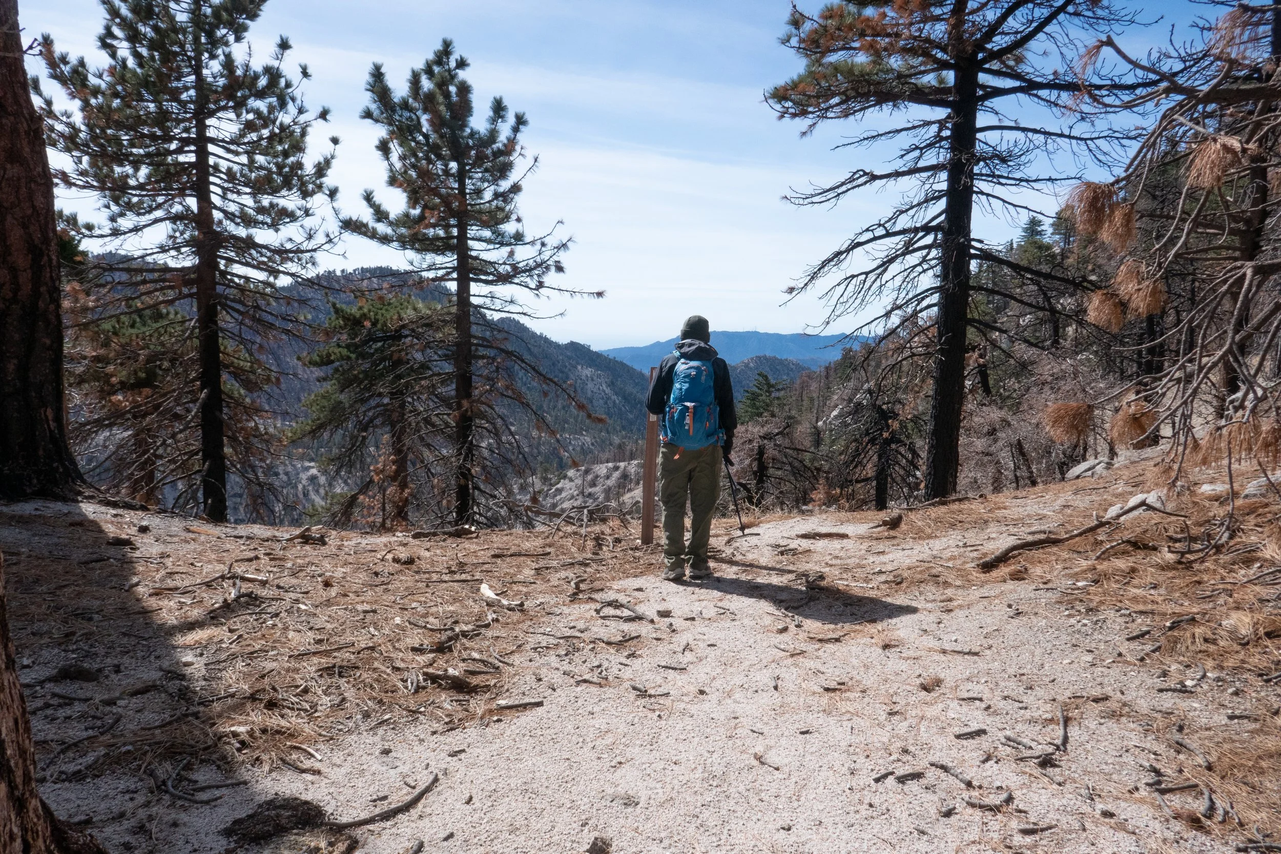
From the entrance kiosk, we started on the Desert Willow Trail, where many of the plants are marked for identification. If you’re curious about the flora around you, you can learn as you hike. From there, we planned to hike up the Yucca Ridge Trail to take in the views of the marsh from above. Before a hurricane damaged the trail in 2023, this could be done as a loop, but part of the trail remains closed. Even so, hiking up the ridge is worth it for the stunning views of the green oasis against the stark desert landscape and for the spectacular sight of Mt. San Jacinto and Mt. San Gorgonio in the distance. We went as far as we could on the Yucca Ridge Trail before descending. Afterward, we returned to the Desert Willow Trail and continued along the Marsh Trail.
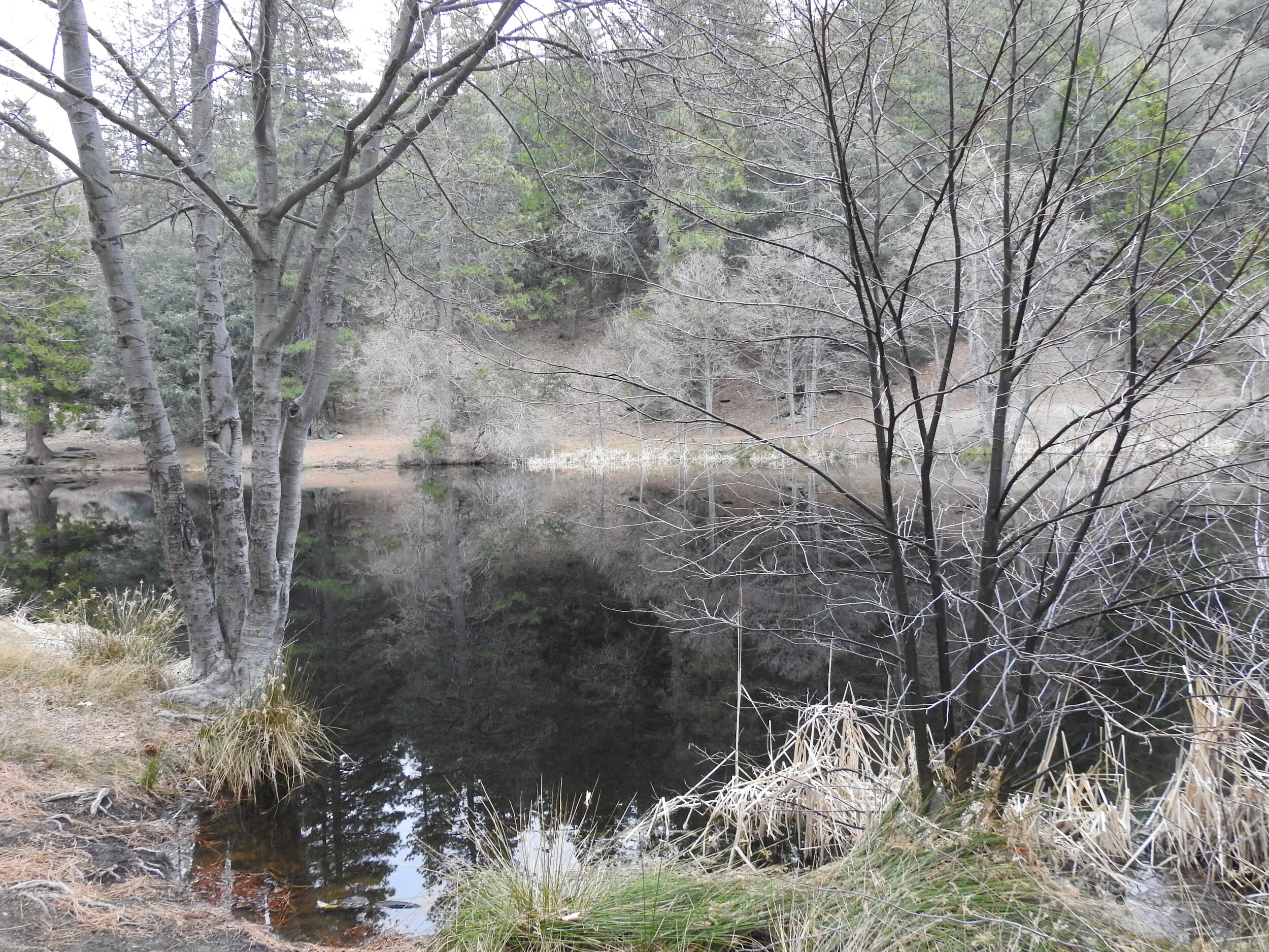
The hurricane damage is much more evident from this lower perspective, but there’s still plenty of wildlife to observe. In the marsh, we saw and heard so many birds, including a Greater Roadrunner, Nuttall's Woodpecker, Black Phoebe, California Scrub Jay, Oak Titmouse, Verdin, Bewick's Wren, Phainopepla, House Finch, California Towhee, and Yellow-rumped Warbler. There were others, too, although I couldn’t get a clear ID. Beyond the birds, the preserve features fascinating vegetation from both the Mojave and Sonoran deserts. I could spend hours here studying the trees and plants, which include mesquites, cottonwoods, fan palms, and creosote, to name just a few. There are also interpretive signs sharing insights about the indigenous Cahuilla and Serrano peoples who once called this area home.
Big Morongo Canyon Preserve is part of the Sand to Snow National Monument, and I highly recommend stopping here if you’re passing through the area.
Click “Read More” below for more information about this hike.
Read More