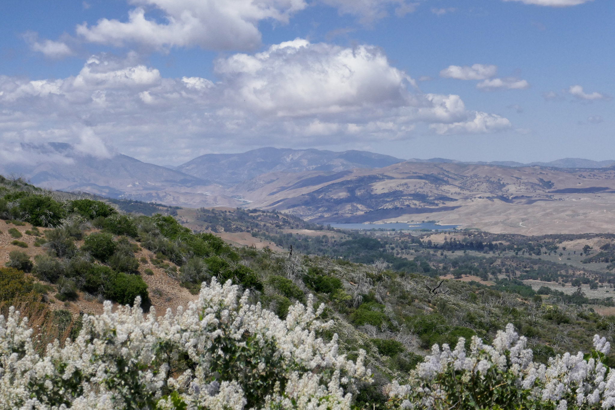
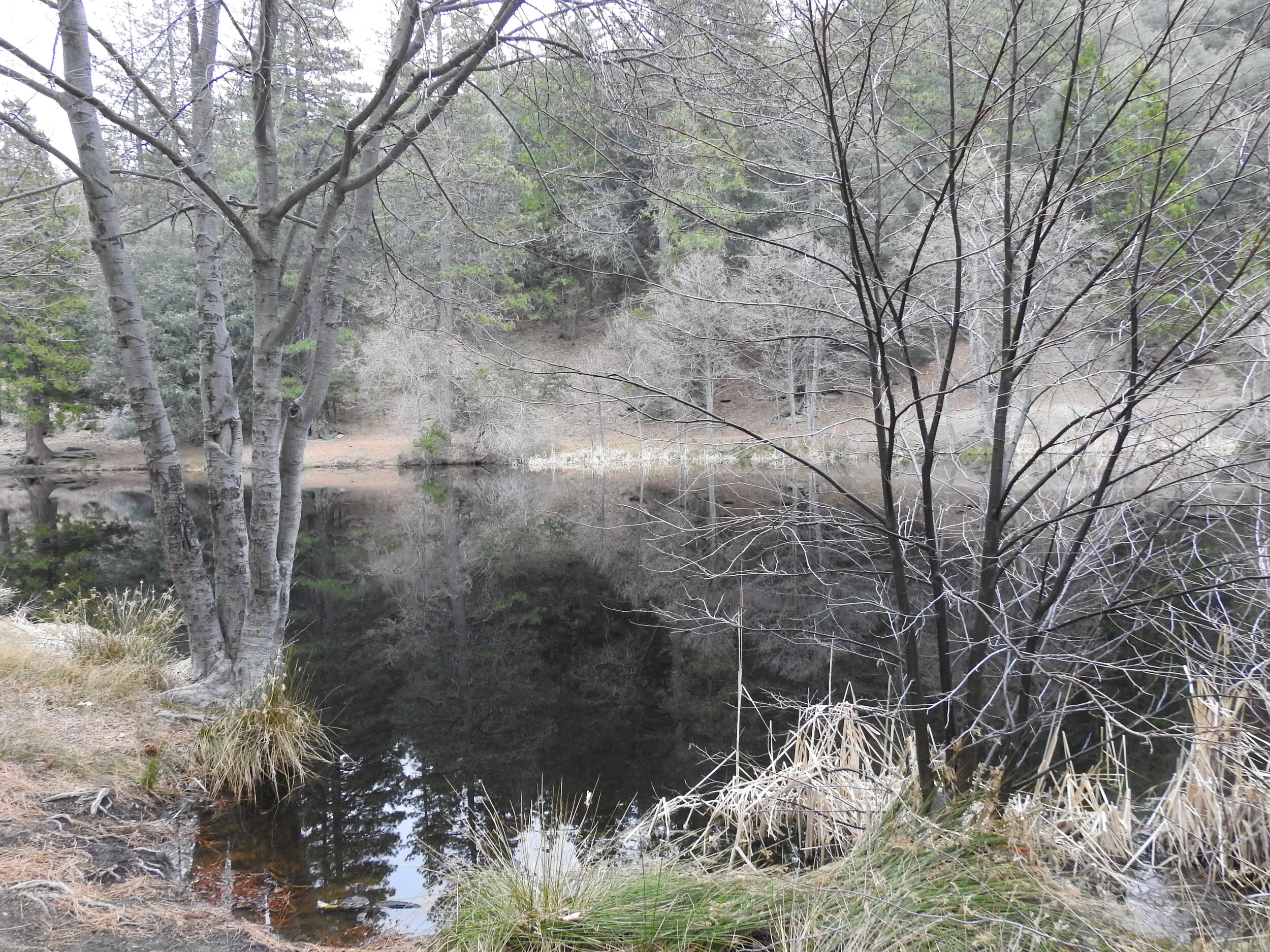
It was a beautiful Sunday to spend a night in Idyllwild. As we drove up the 243 early Sunday morning, the fog hung heavy over the mountain. Our first stop was Lake Fulmor where I did a little bird watching. This was a much different experience then when we were here on New Year’s day. On that day we couldn’t even get near the lake because there were so many people. This time we had the whole place to ourselves, and it was wonderful! It was so quiet and the fog rolling over the lake was eerily beautiful. I saw a beautiful Red-wing Blackbirds singing in the cattails; a new species to add to my life list! After about an hour or more enjoying the lake, we headed to the Ranger Station to drop off our permit for the Deer Springs Trail. My husband brought along his video camera, and I had both my Nikon birding camera and my Lumix. We took our time and mostly played around with the cameras taking photos and video and not worrying too much about covering any set amount of mileage. The forecast was calling for rain turning into snow later in the afternoon/evening, so we had to keep an eye on the weather. When we reached the junction for Suicide Rock it was clouding up quite a bit, but we decided to push on since it was only one more mile. The forest was very quiet and as we approached Suicide Rock, we started to see some light snow flurries. The clouds were thickening and looming over the mountain and the sky was turning darker and gray. It was so pretty and so peaceful. As we hiked down we passed through a couple of light hail storms. It wasn’t a long hike back — only about four miles. I was thoroughly enjoying the mountain weather and the peace and quiet of the wilderness. We got back to the trailhead around 4:30 pm. By that time I was tired and I was looking forwards to a nice, warm dinner and spending the night by a cozy fire back at our cabin in Idyllwild. It was a beautiful hike. I love it when the weather is gray and chilly. After dinner we snuggled up by the fire and fell asleep. I kept waking up every once in a while to look out the window to see if it had started to snow. The wind was blowing strong and I could see the pine trees being rocked back and forth. It was nice to be snuggled up in a nice warm cabin and I enjoyed listening to the wind in the trees. The next morning there was a light dusting of snow on the car. We got the fireplace going and my husband went to pick up some breakfast while I waited inside. It was snowing and hailing off and on all morning. We enjoyed the lovely fire, a delicious pancake breakfast and the warmth of the cabin before heading back to Los Angeles.
Read More

