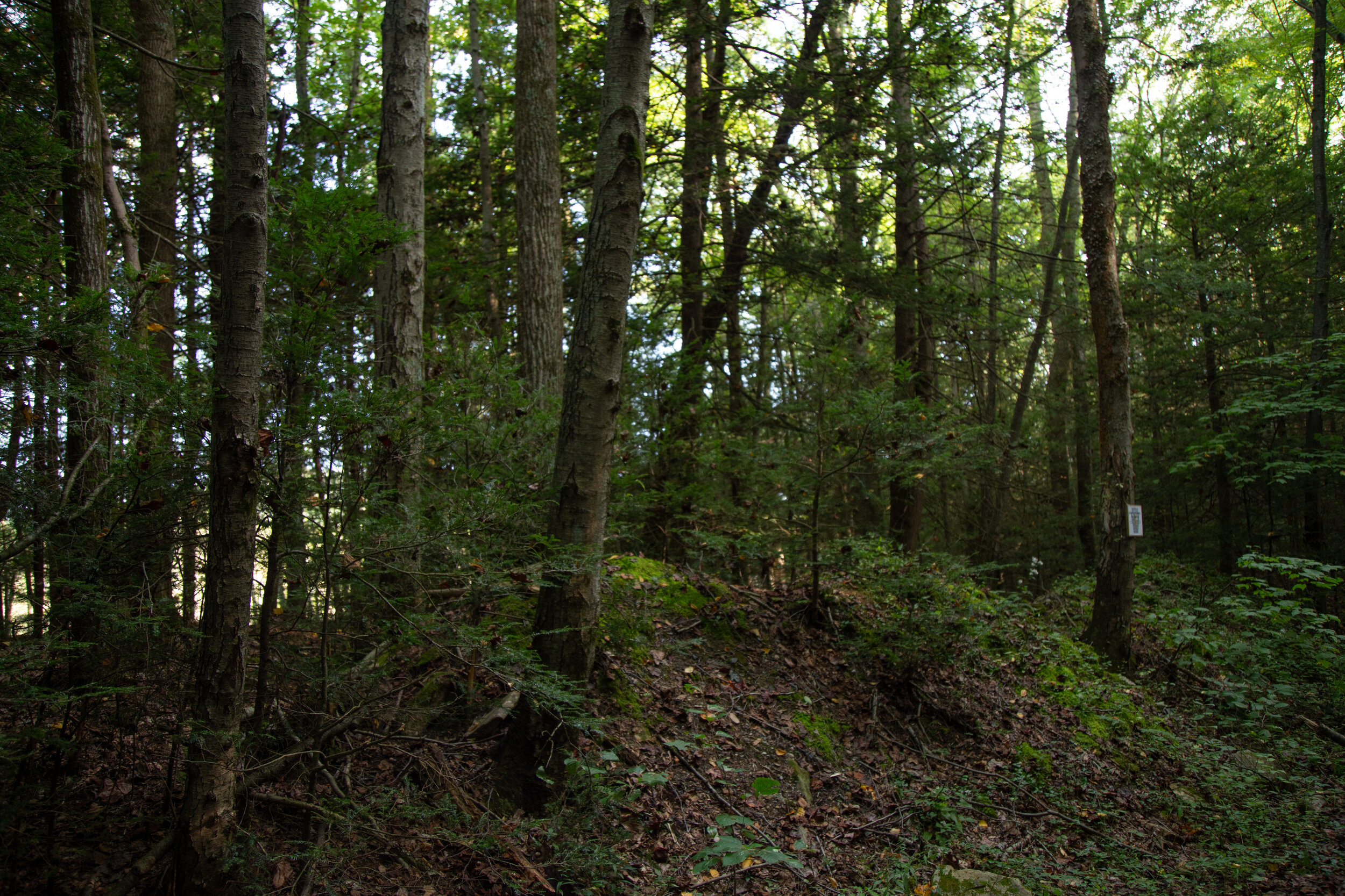
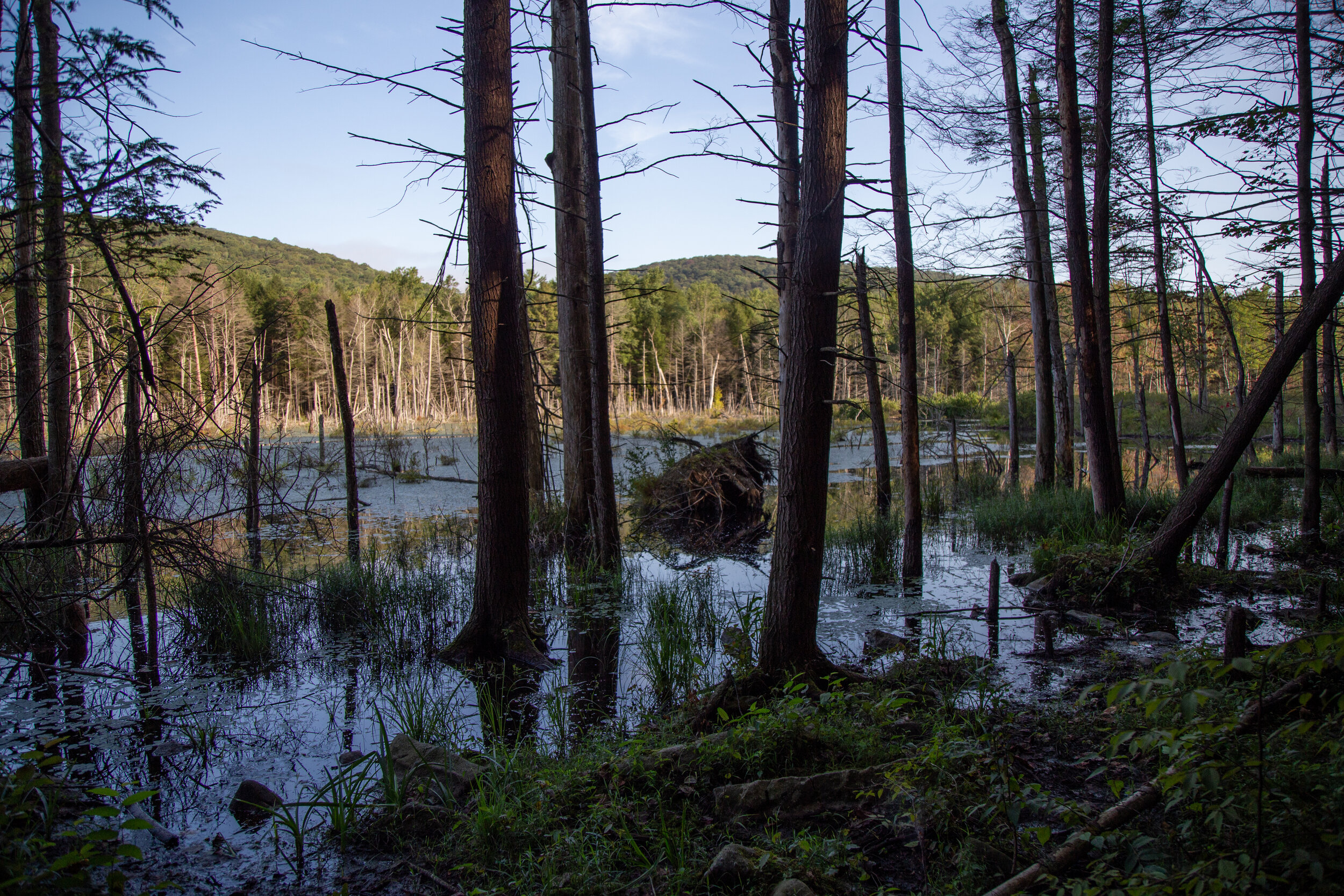
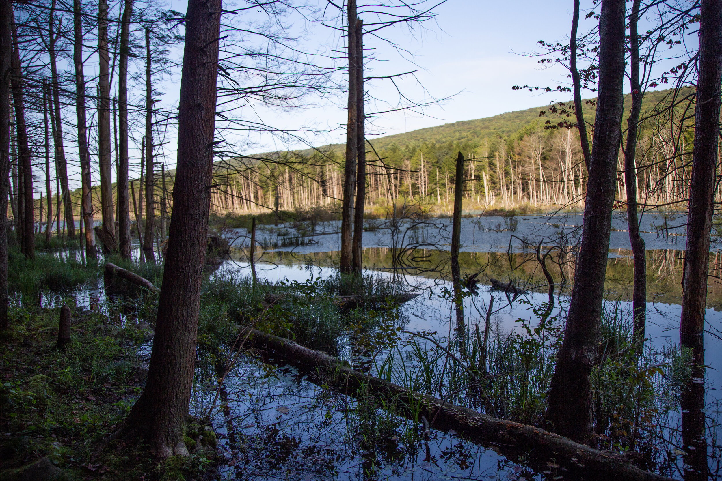
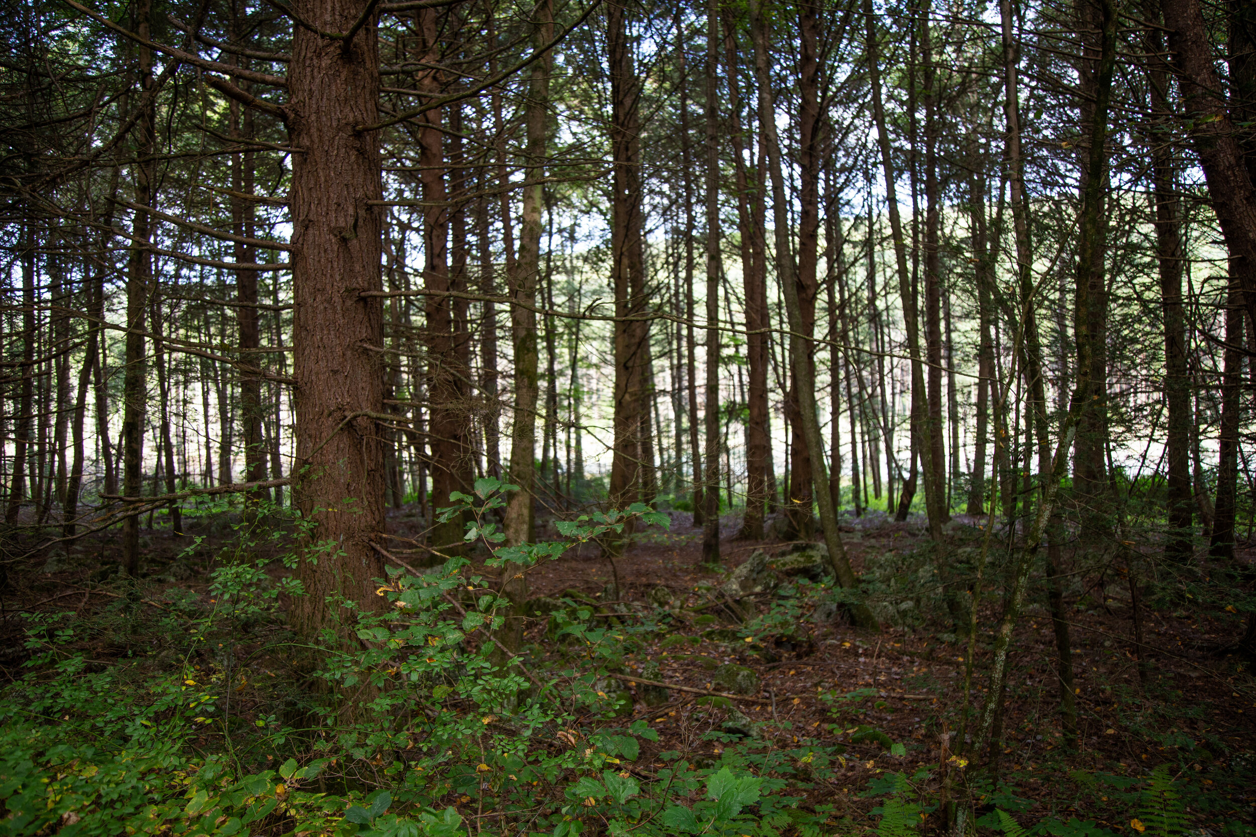
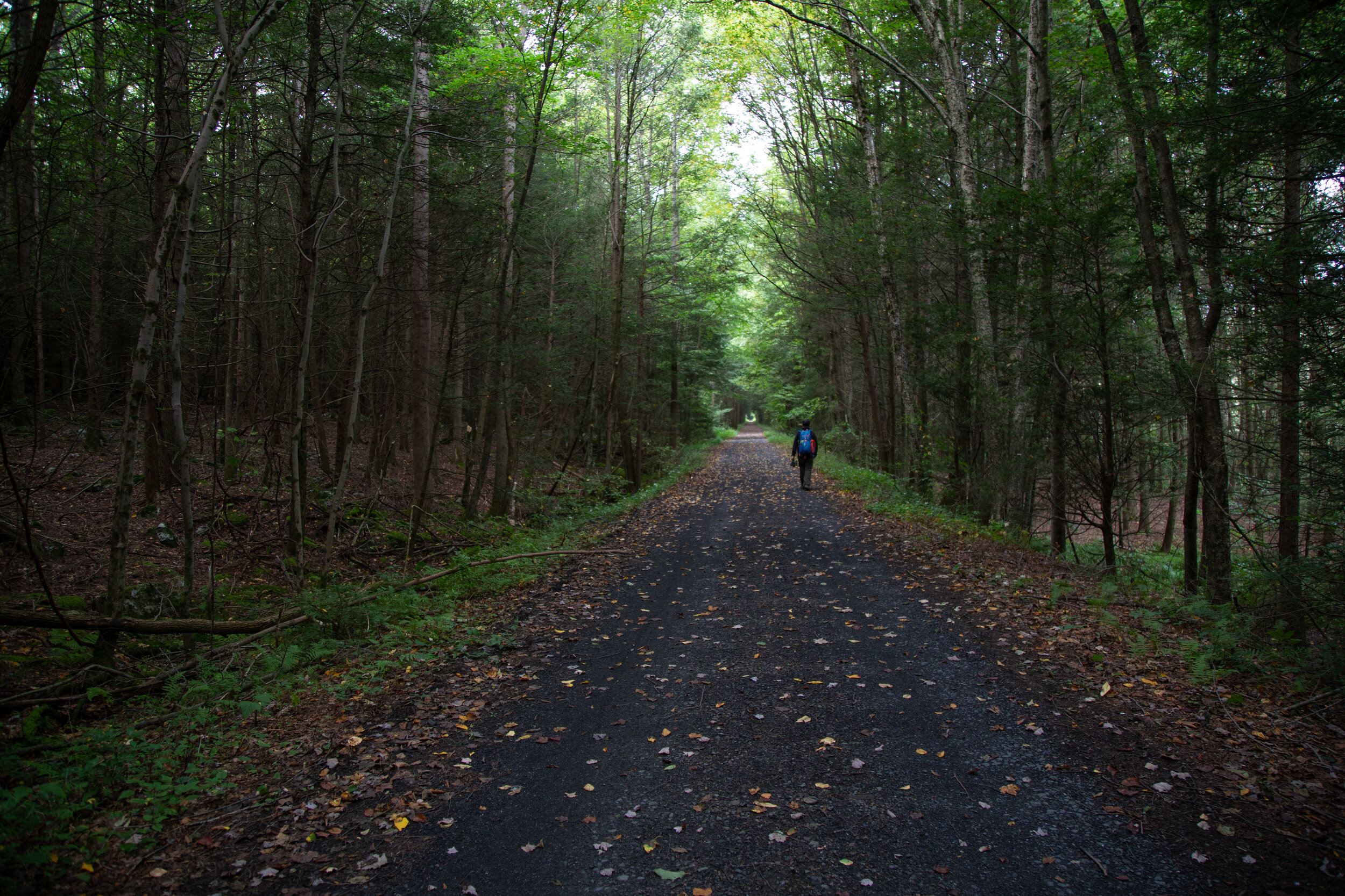
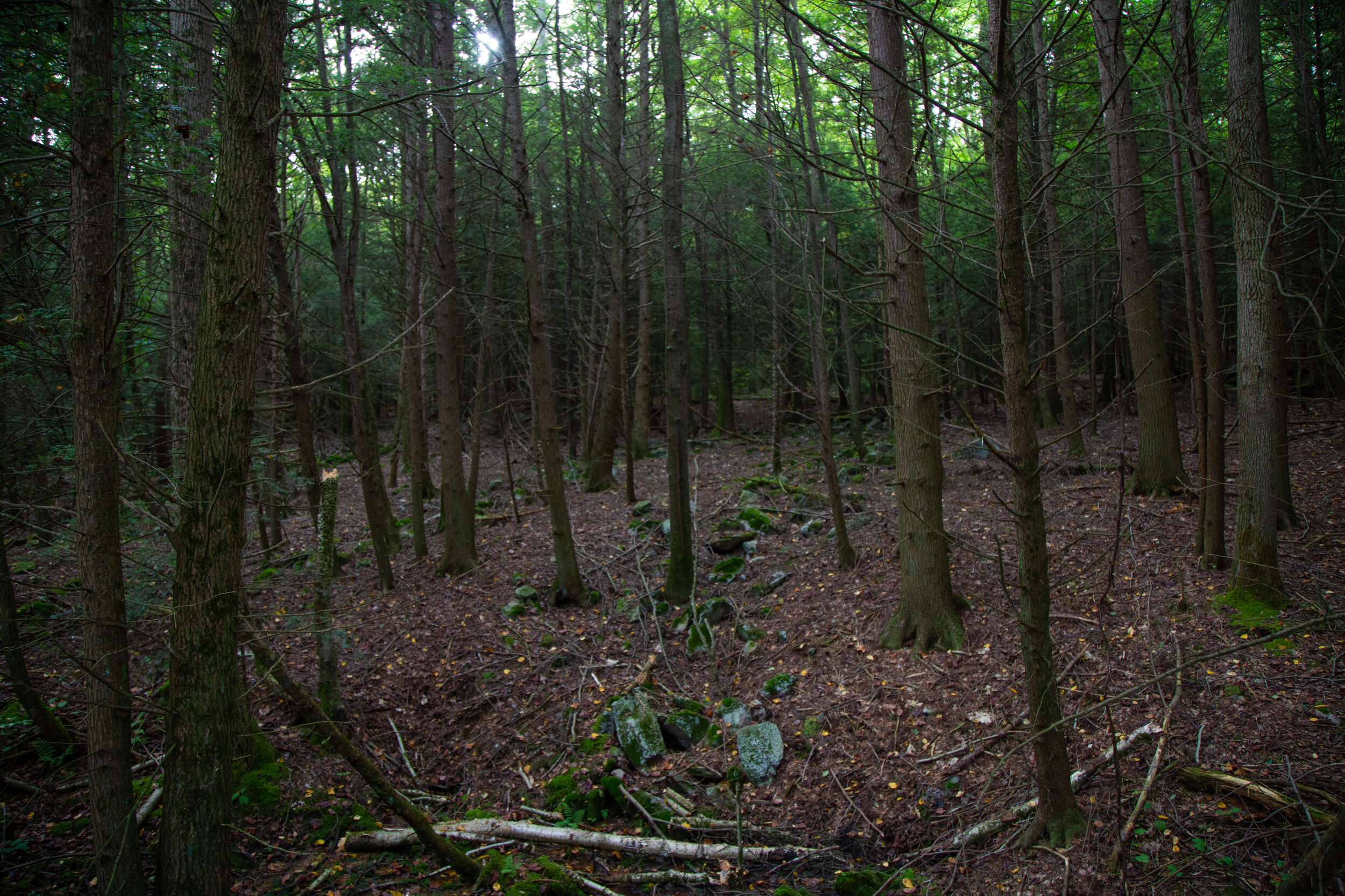
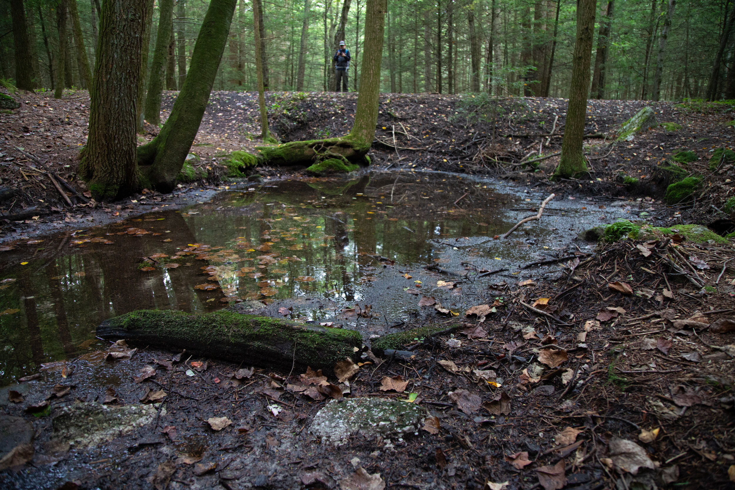
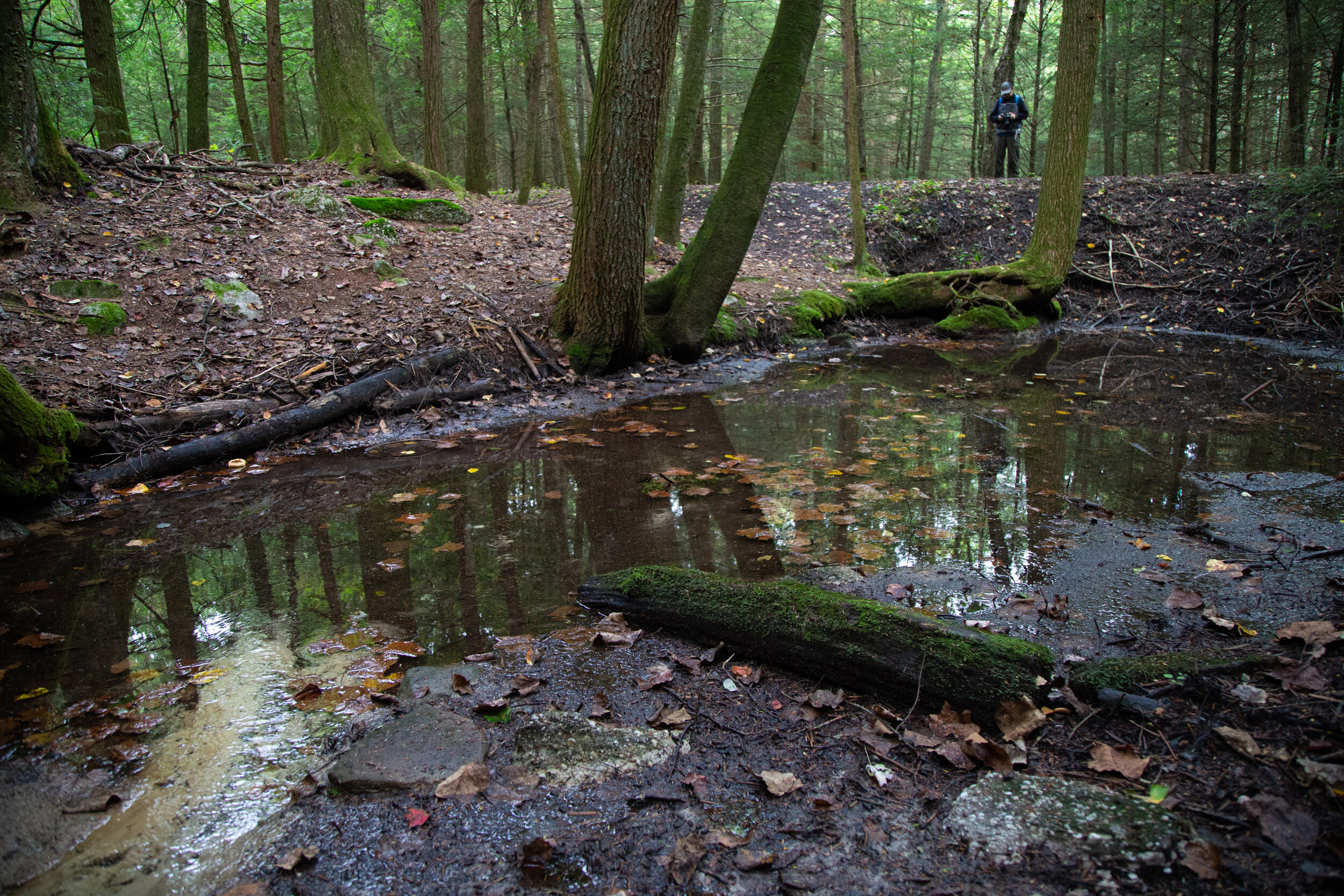
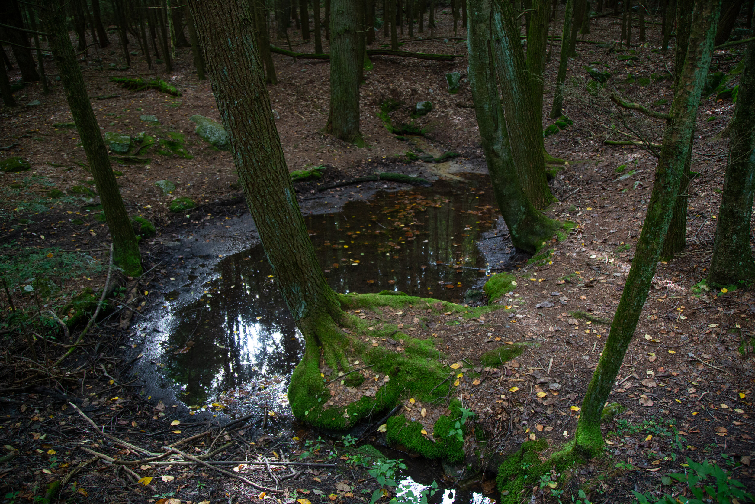
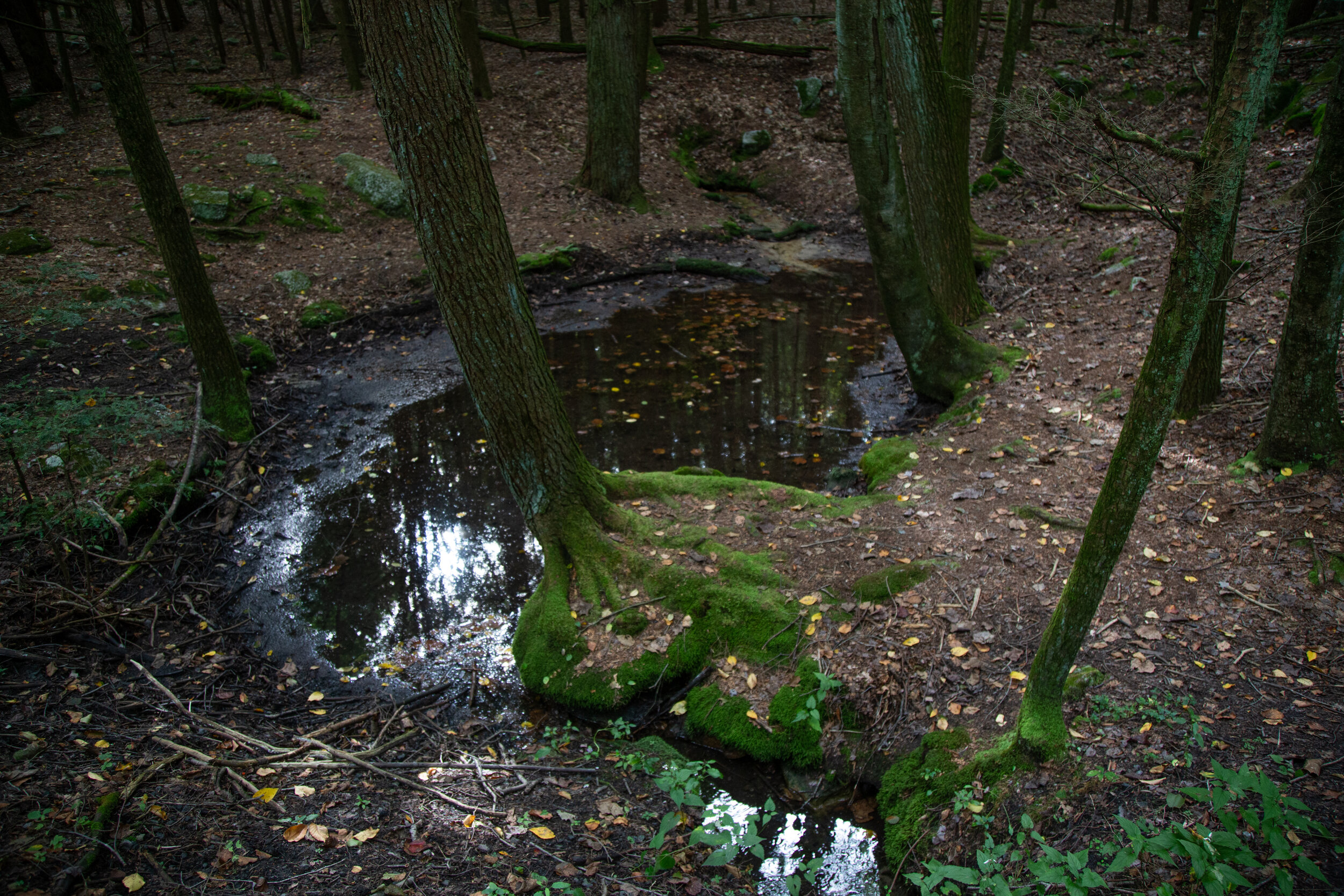
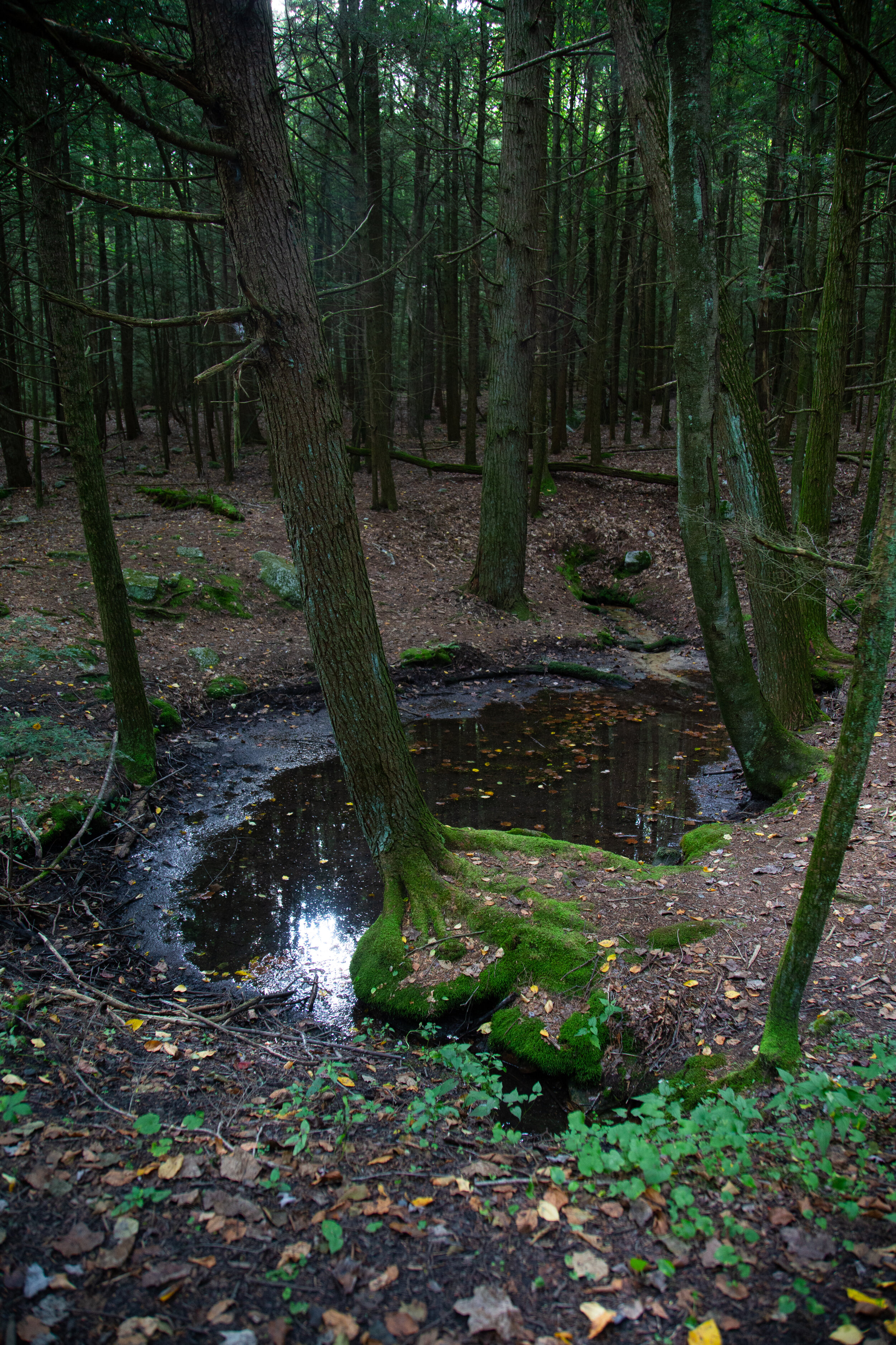
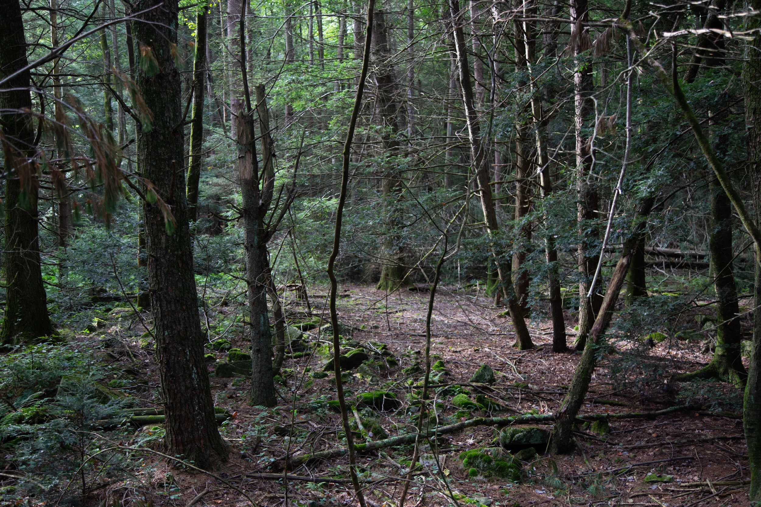
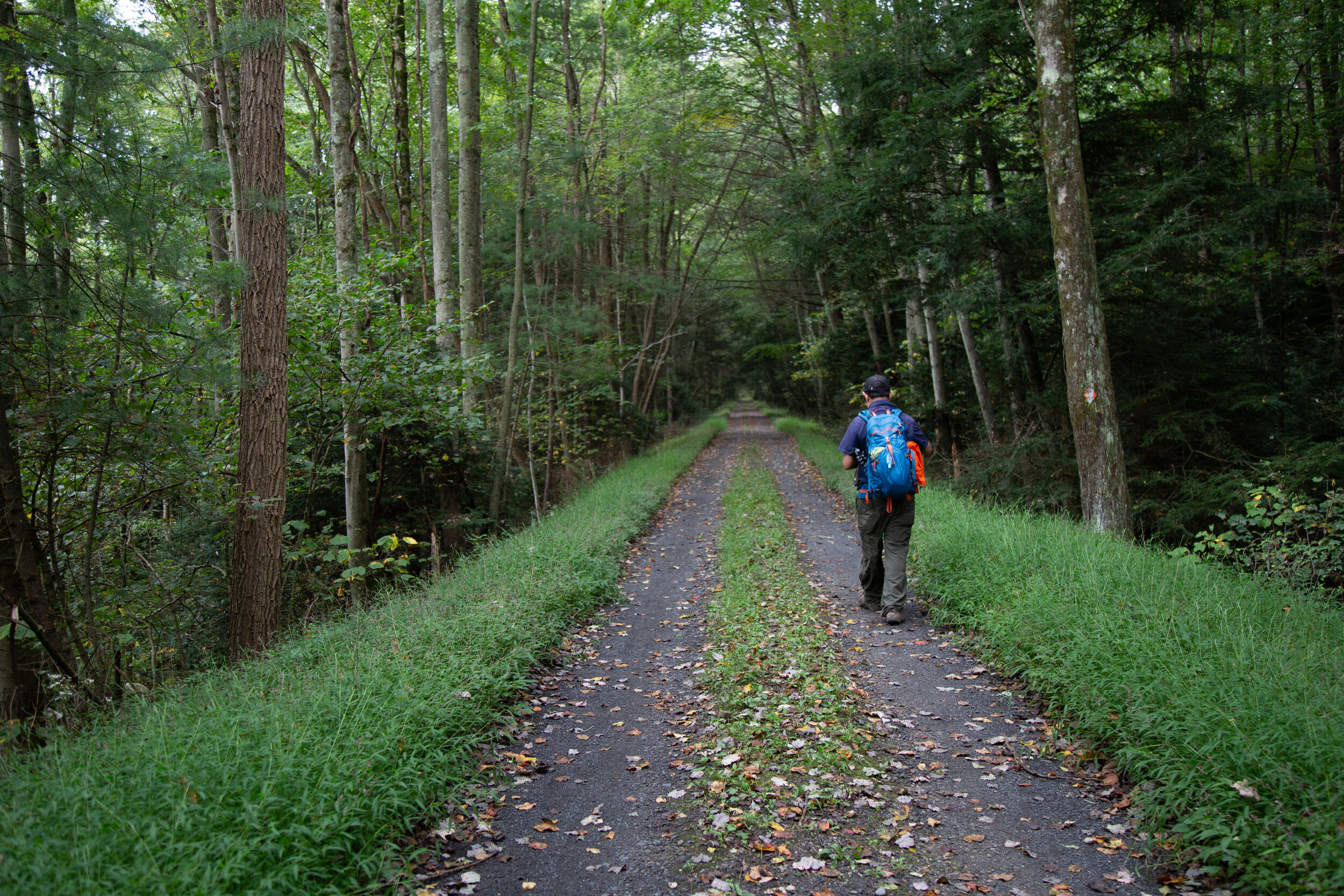
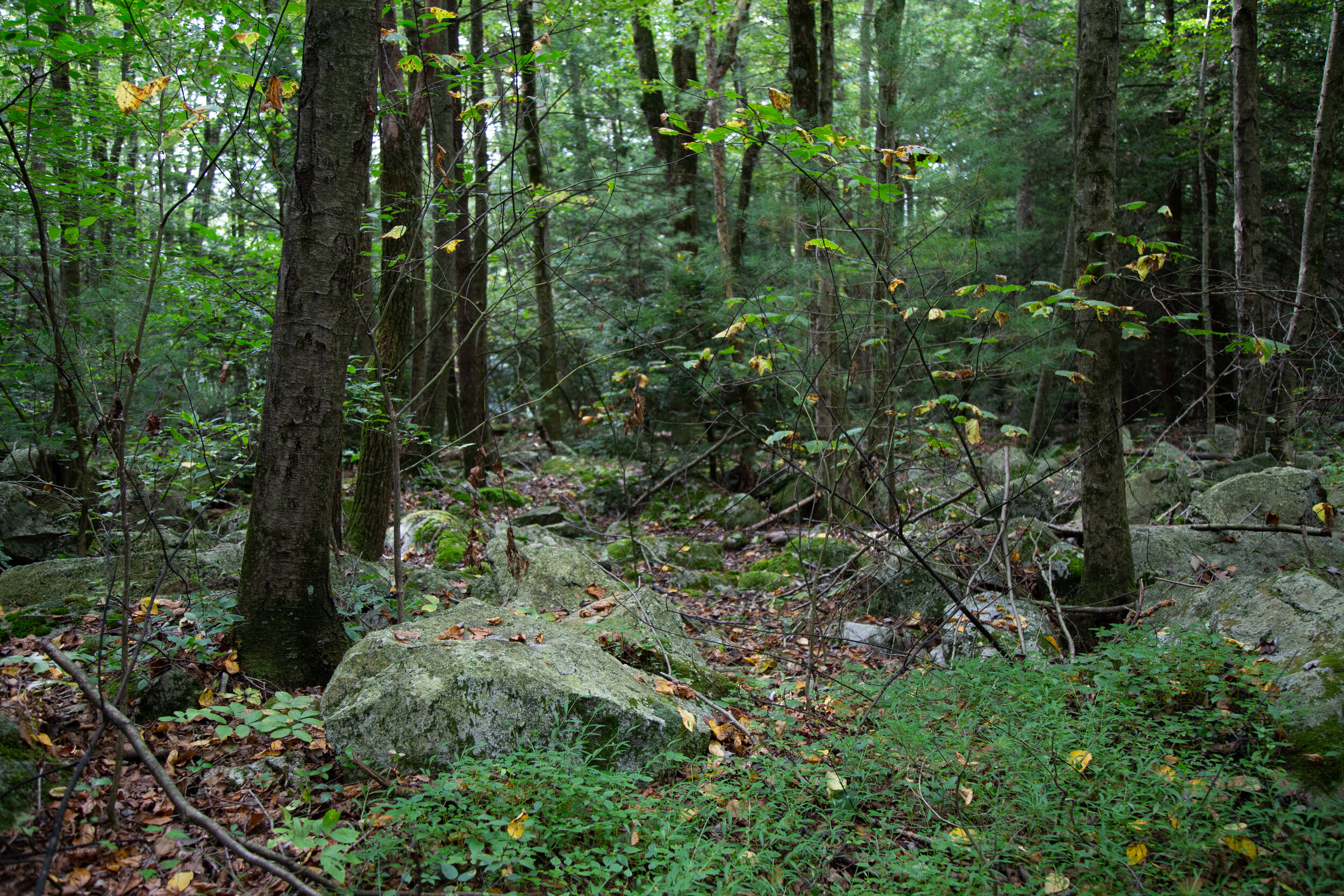
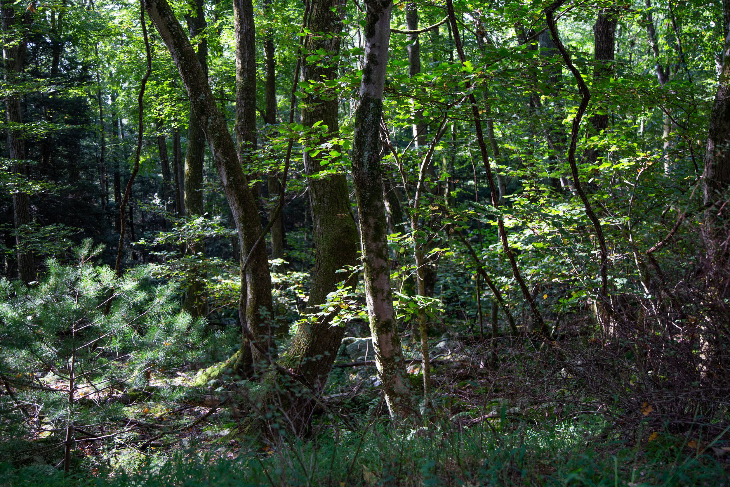
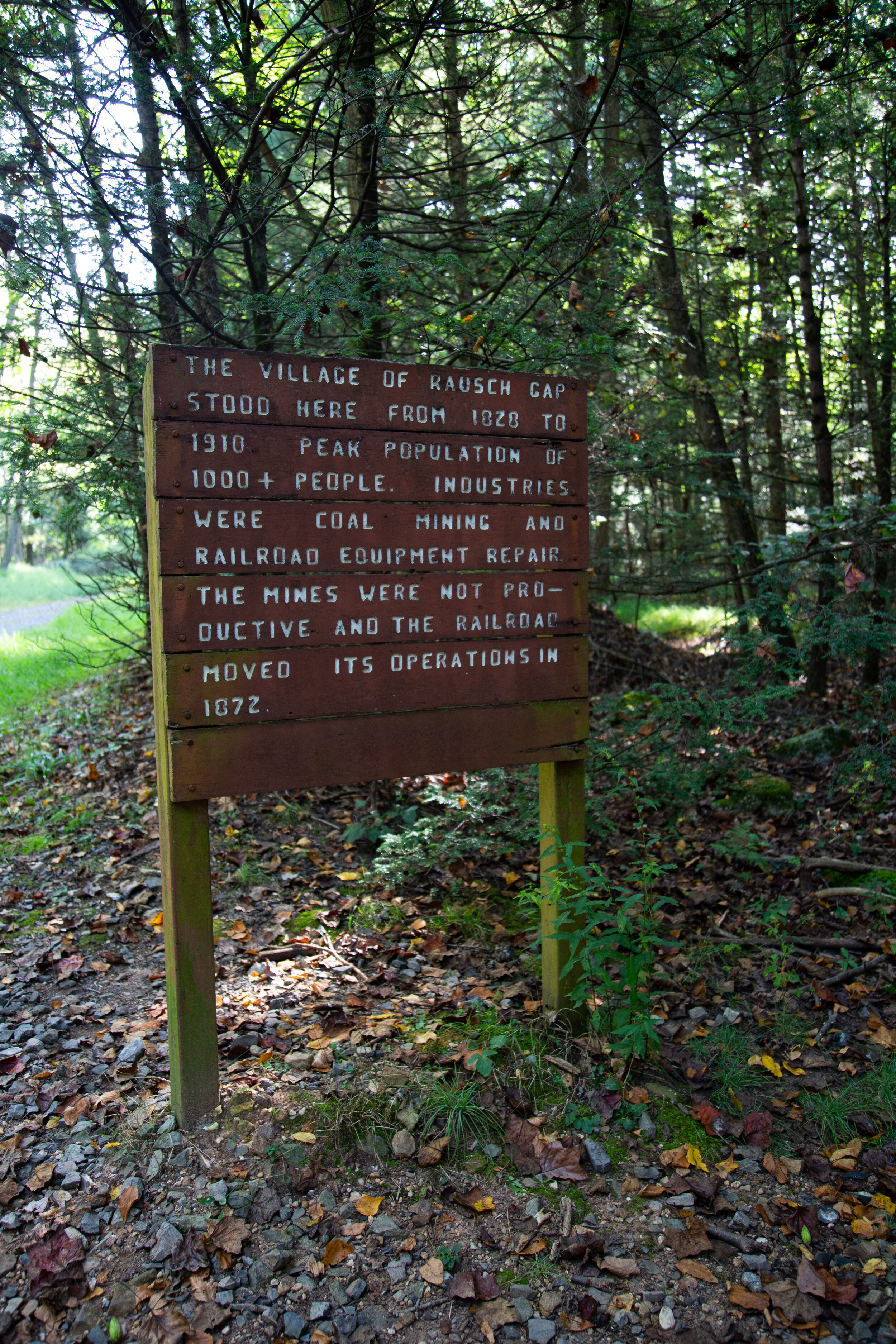
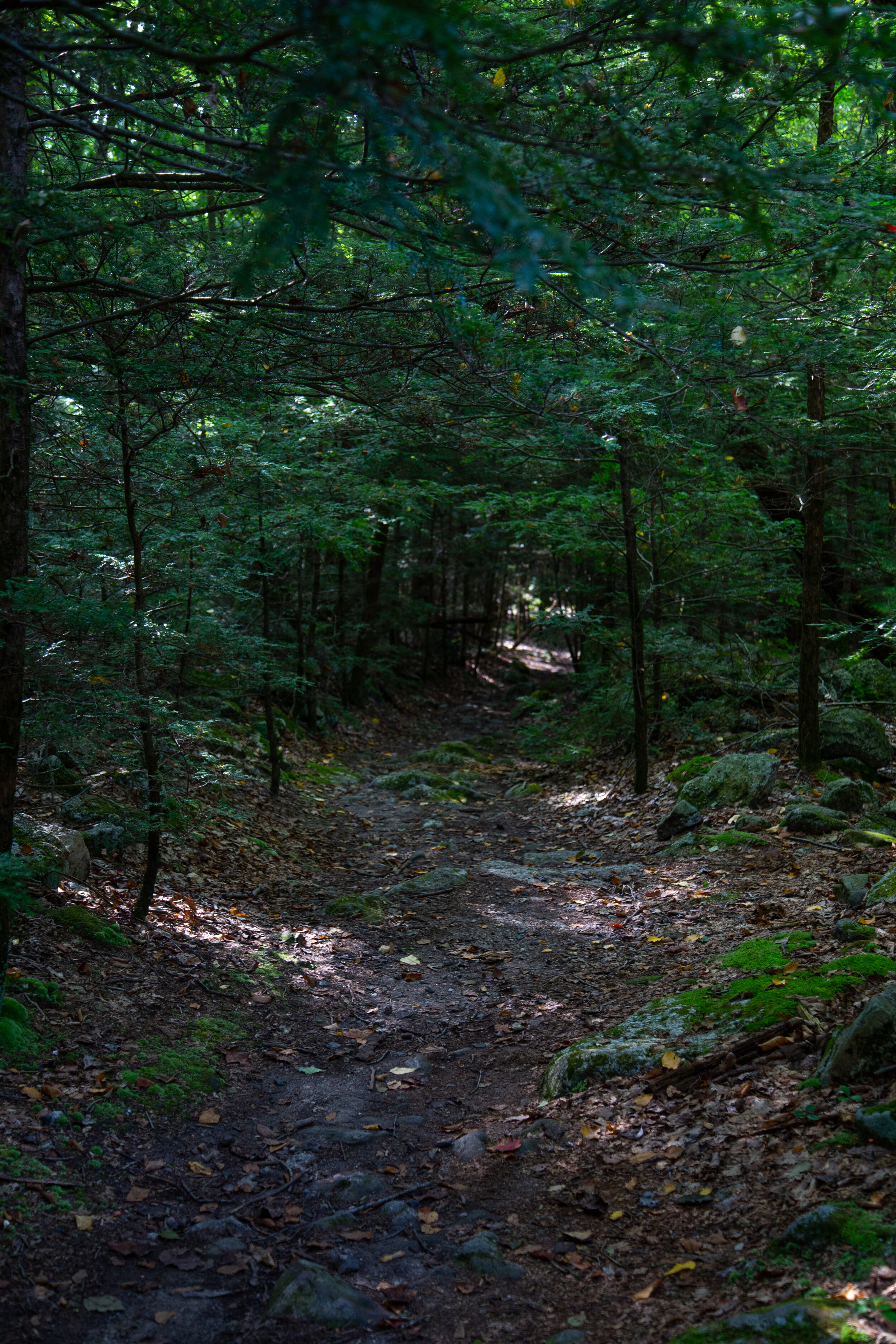
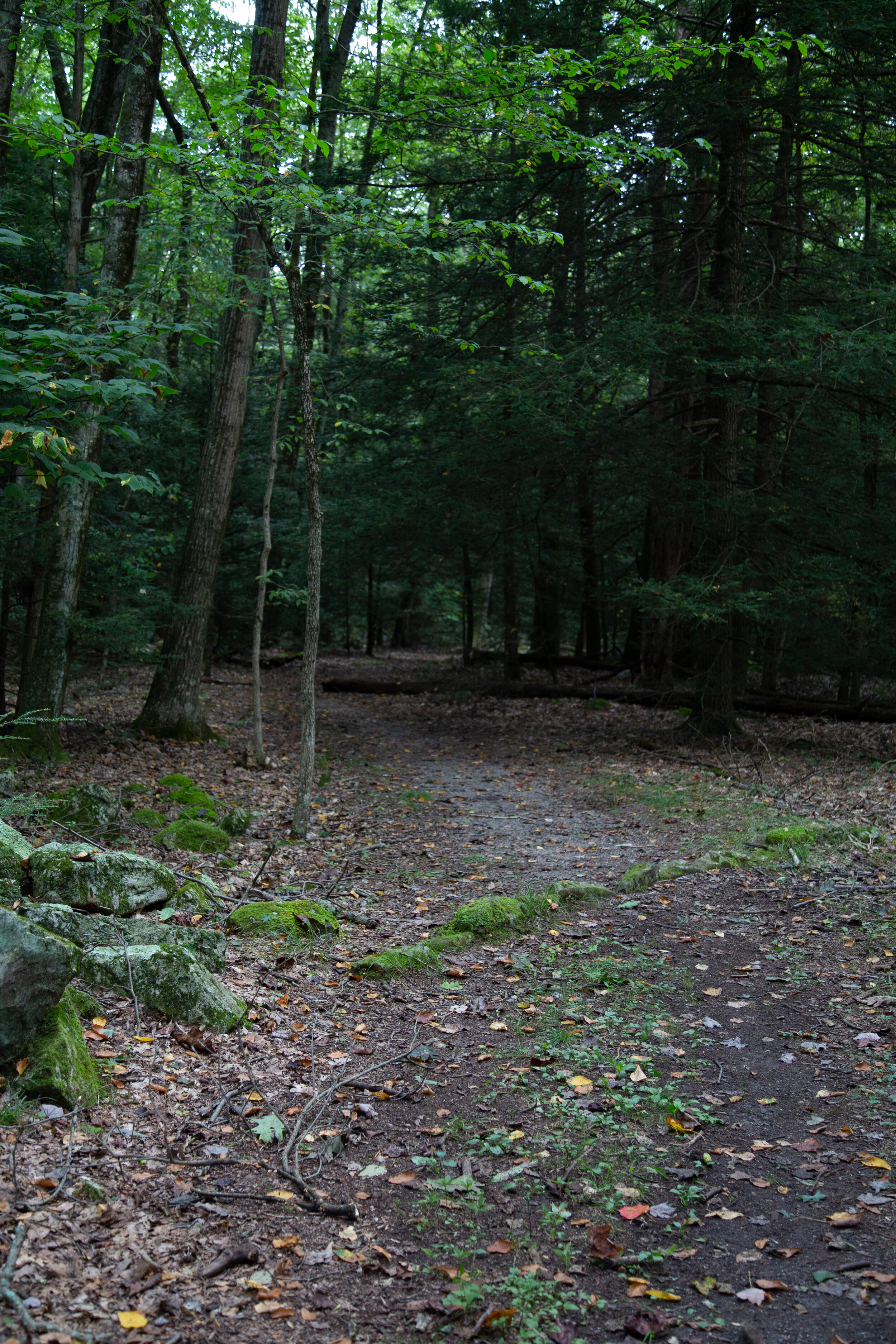
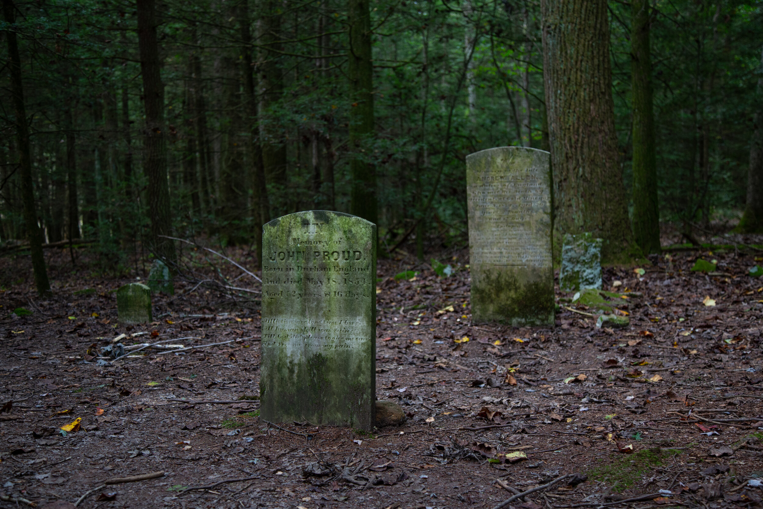
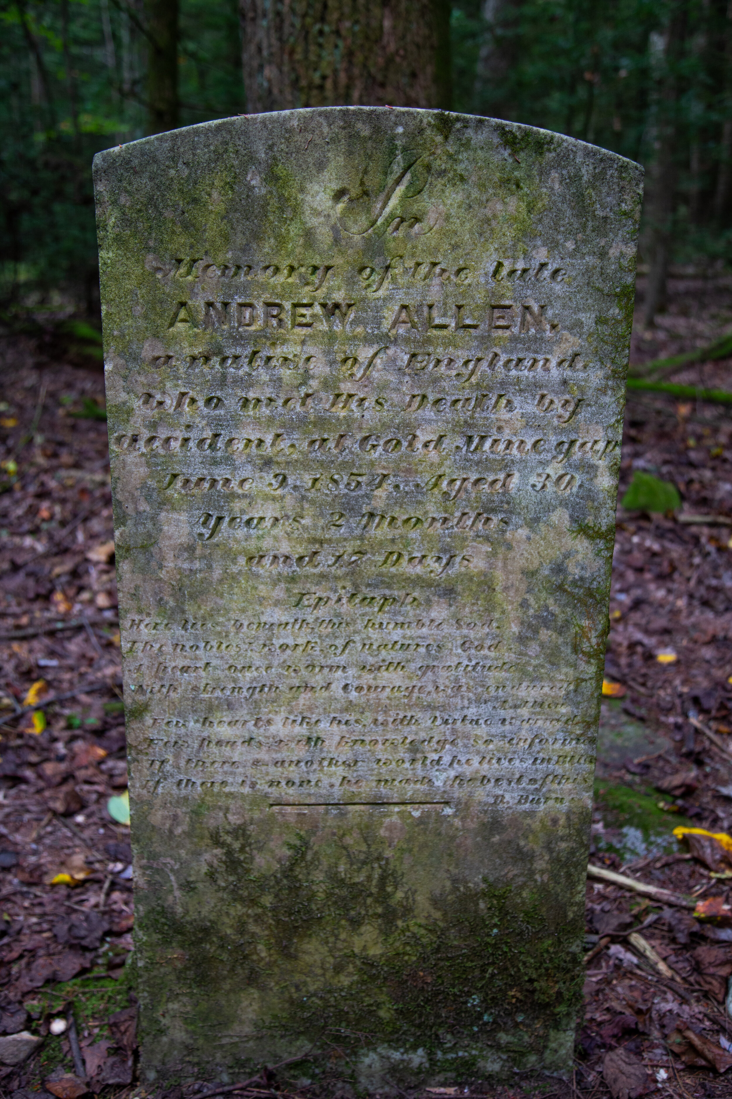
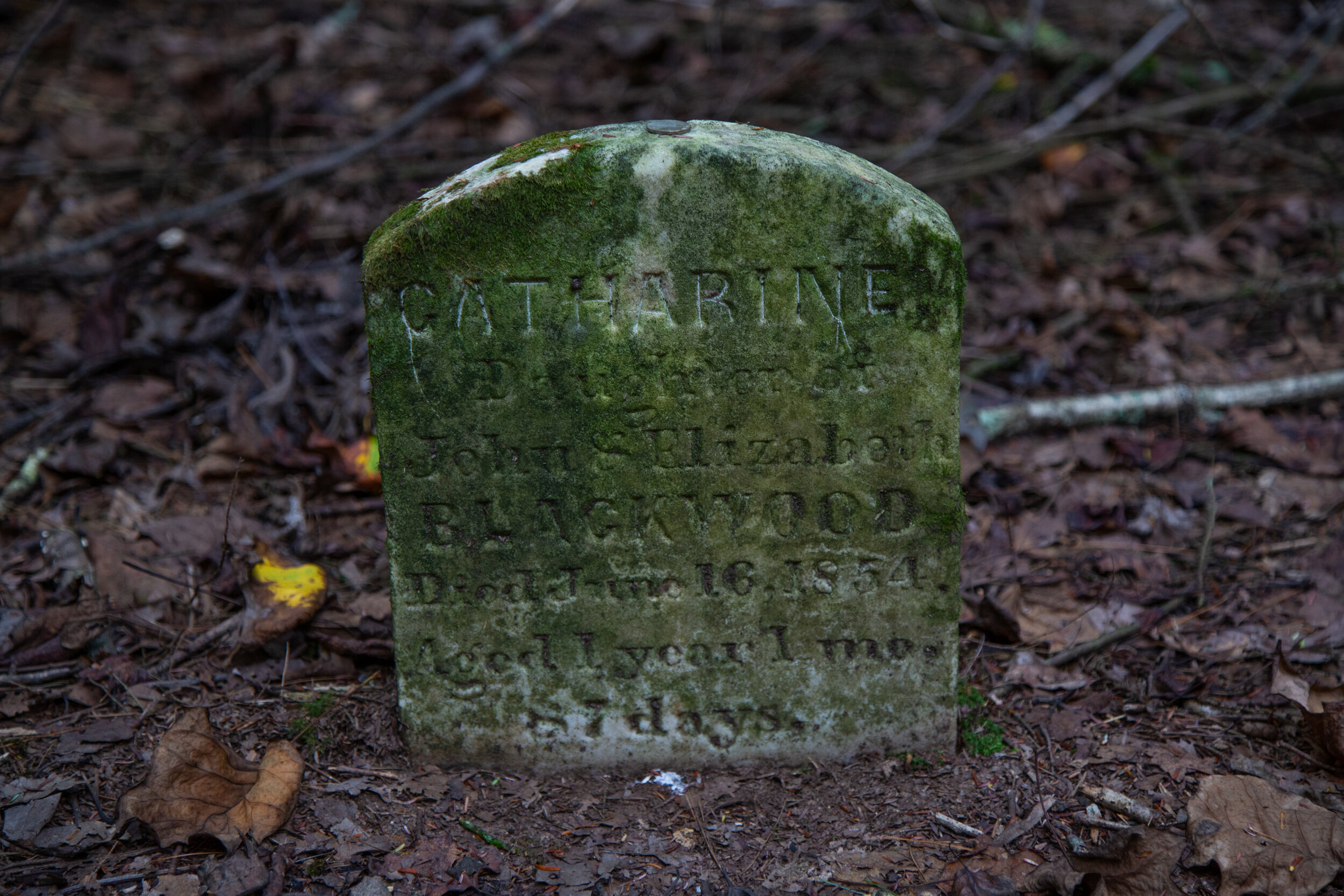
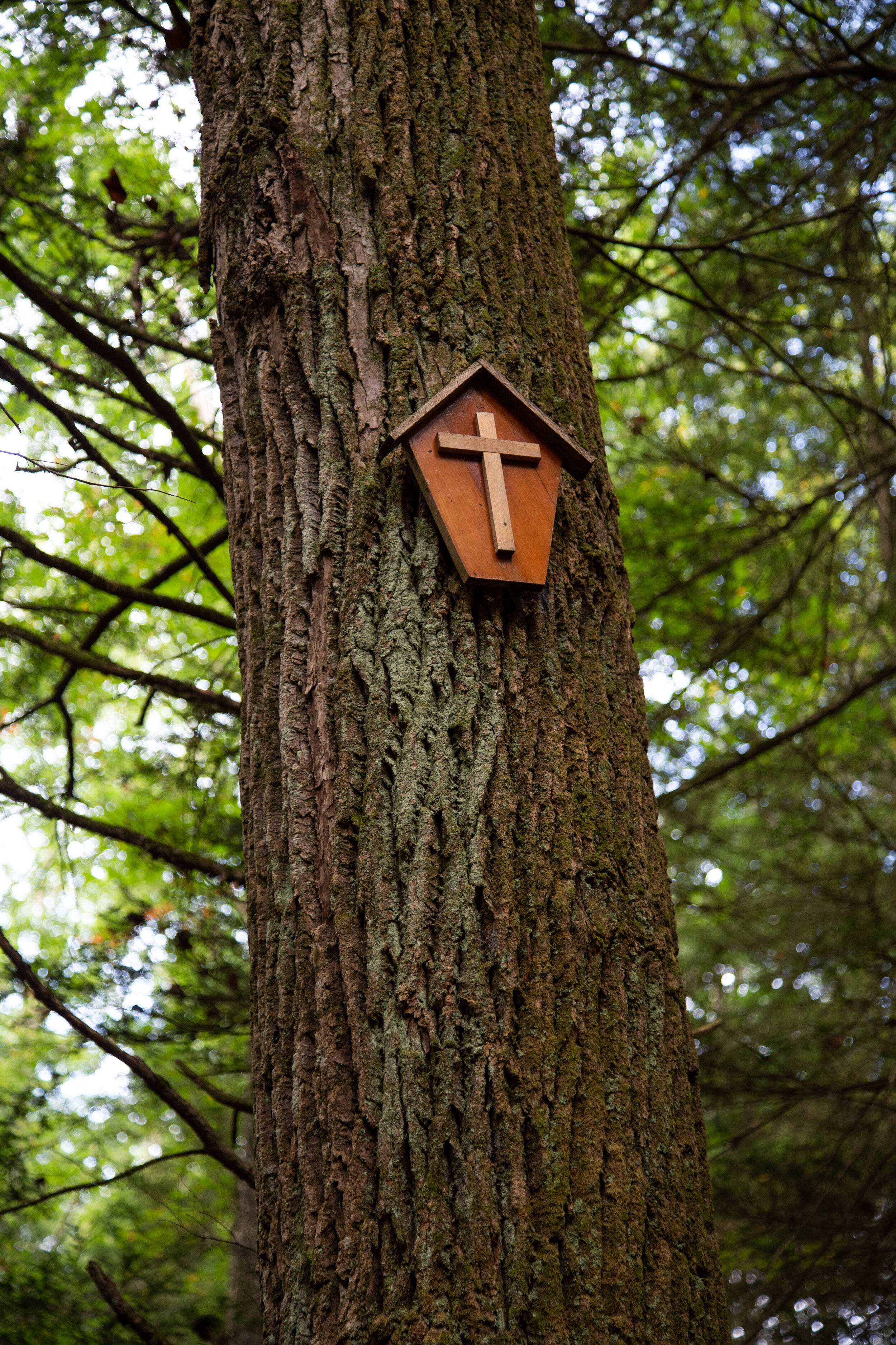
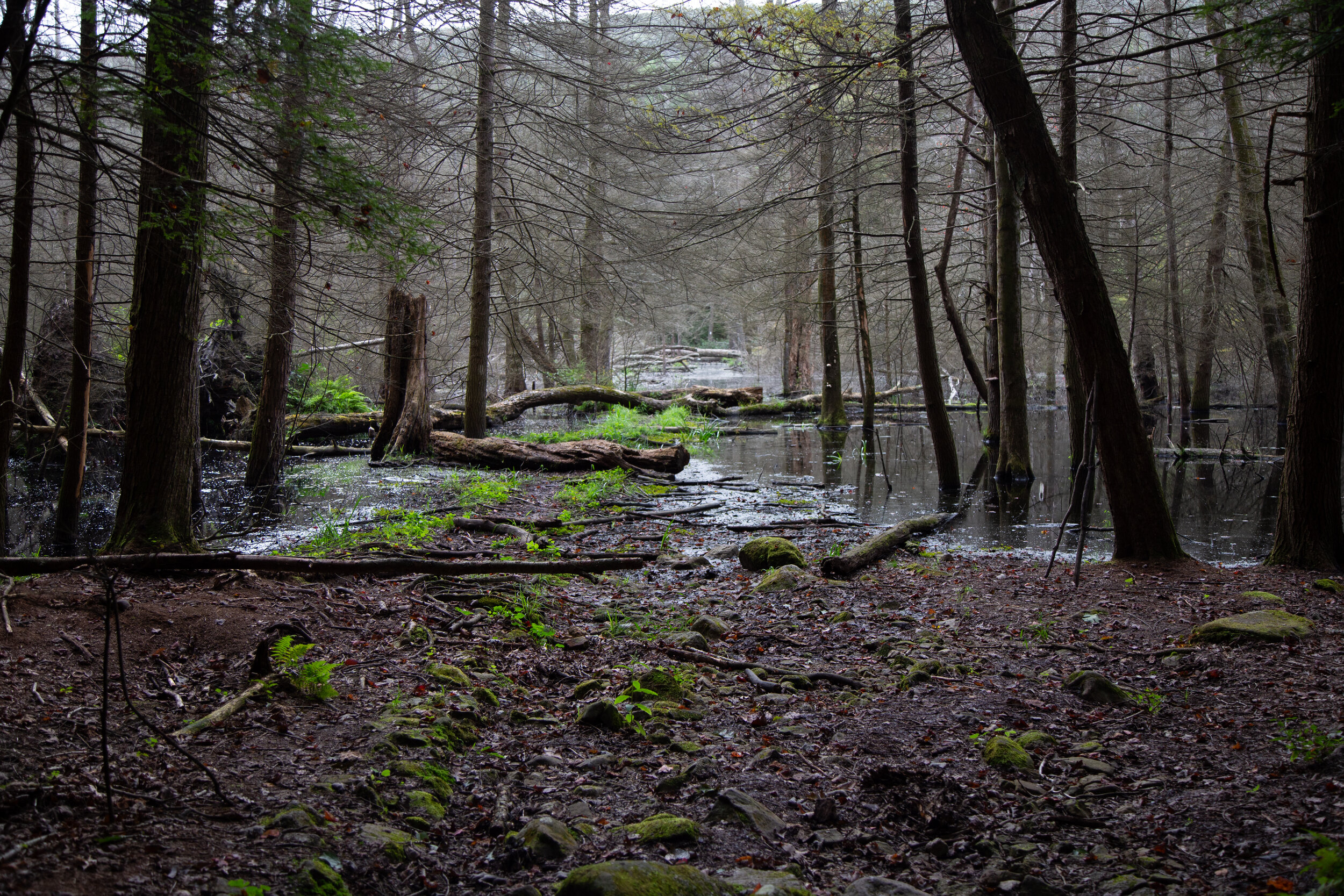
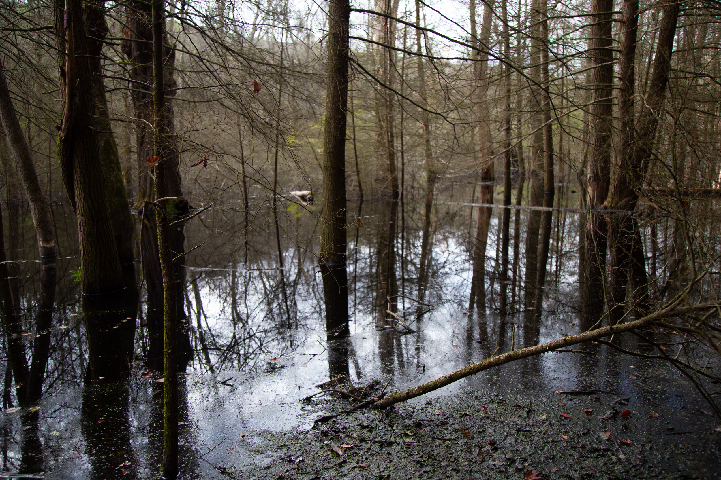
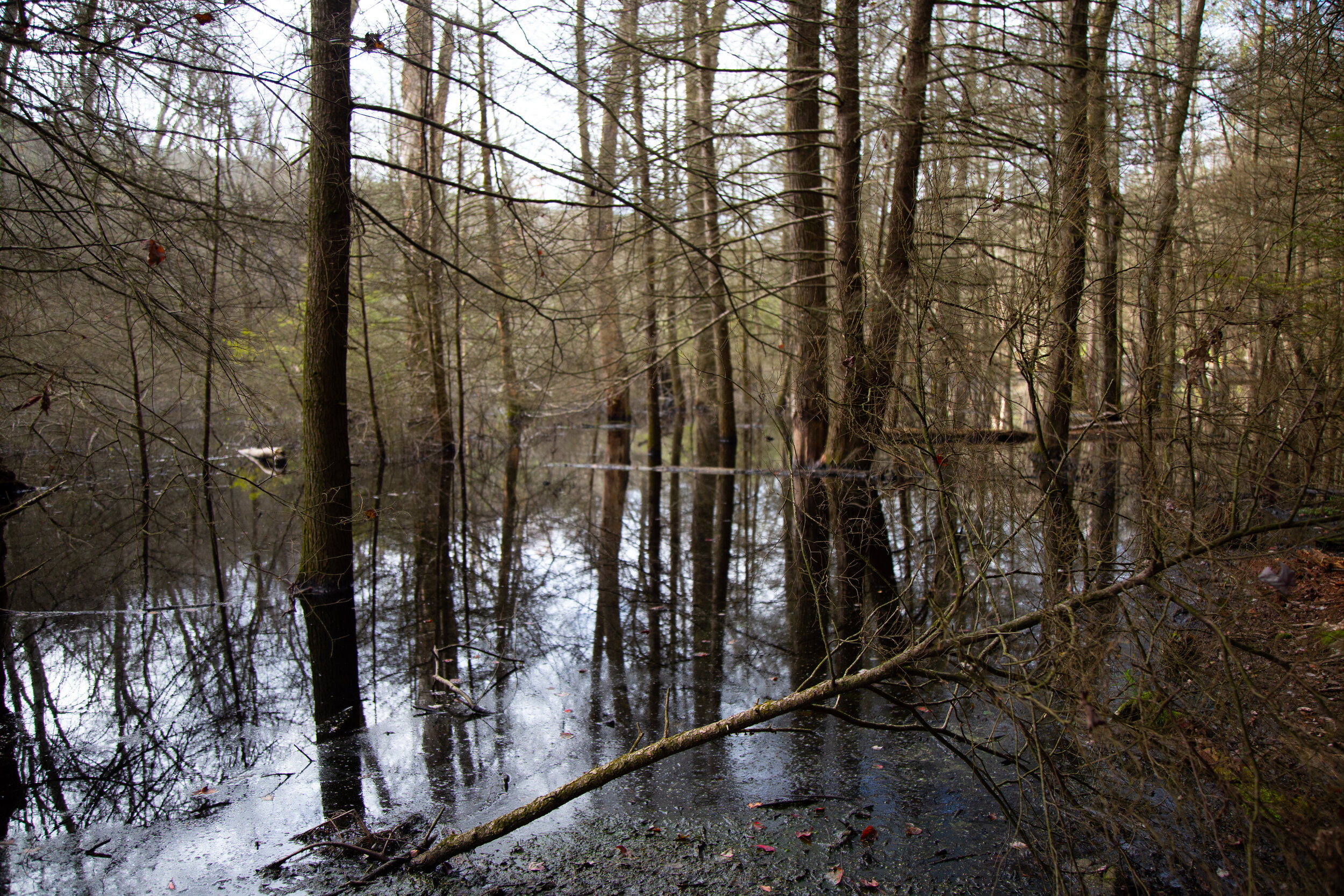
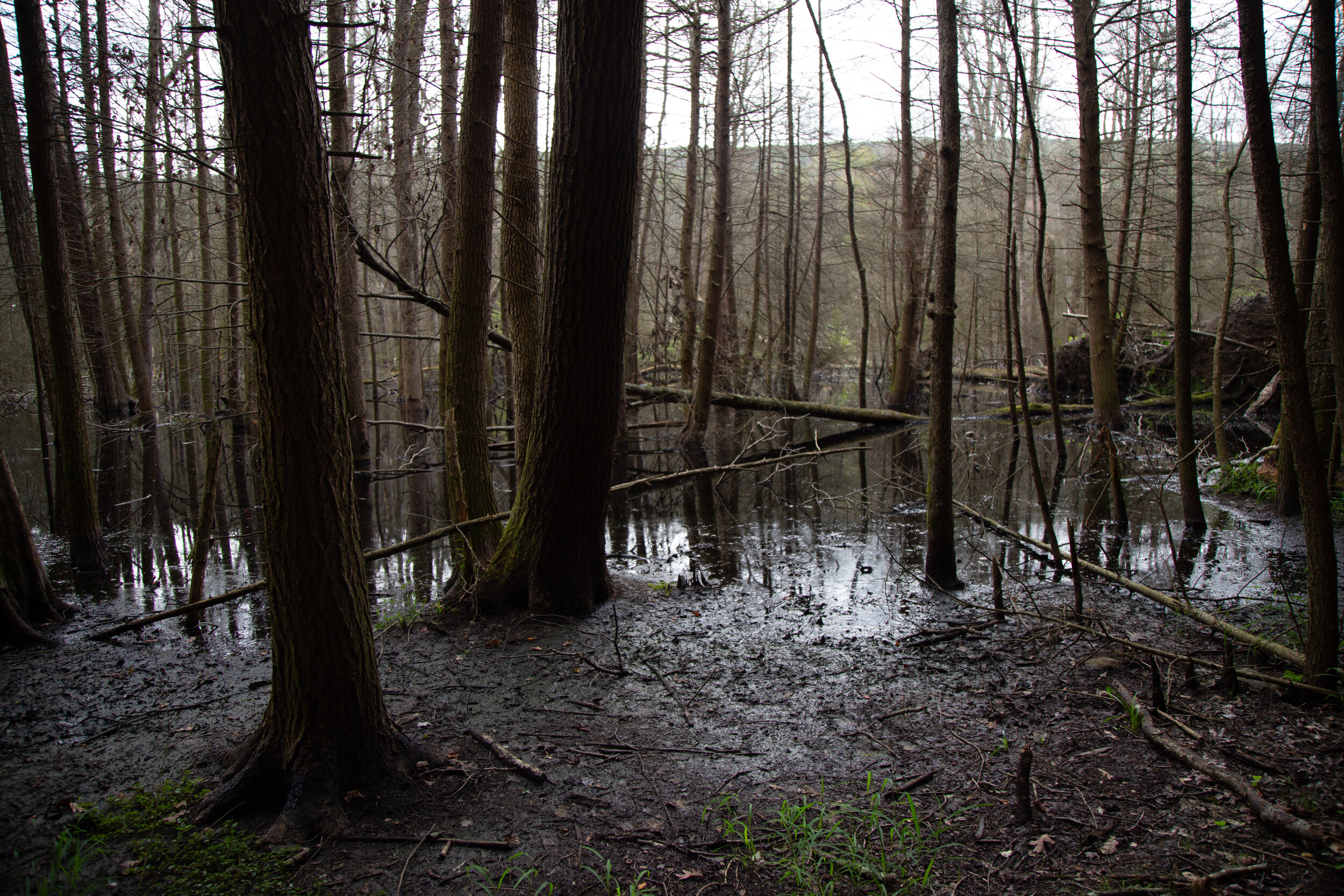
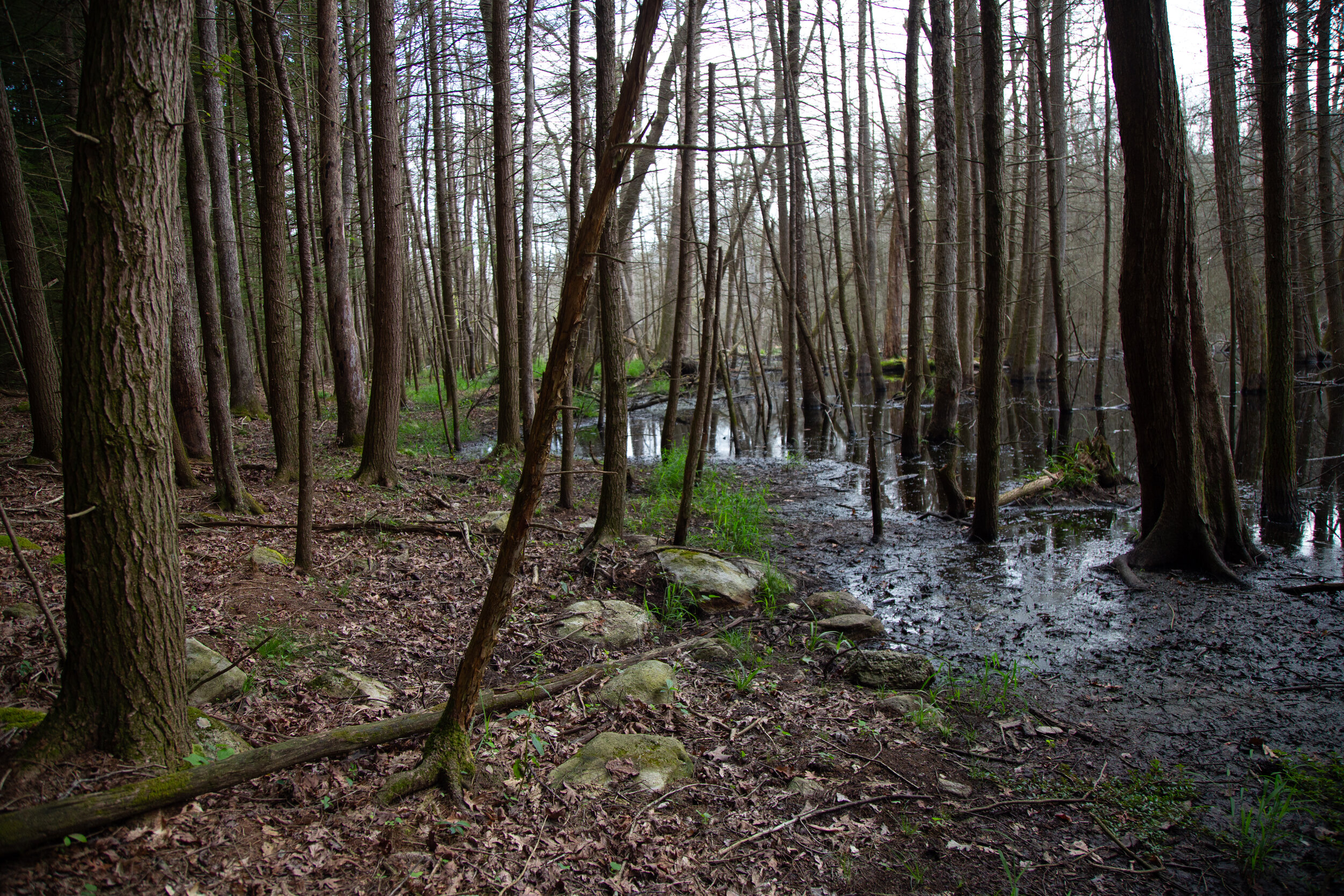
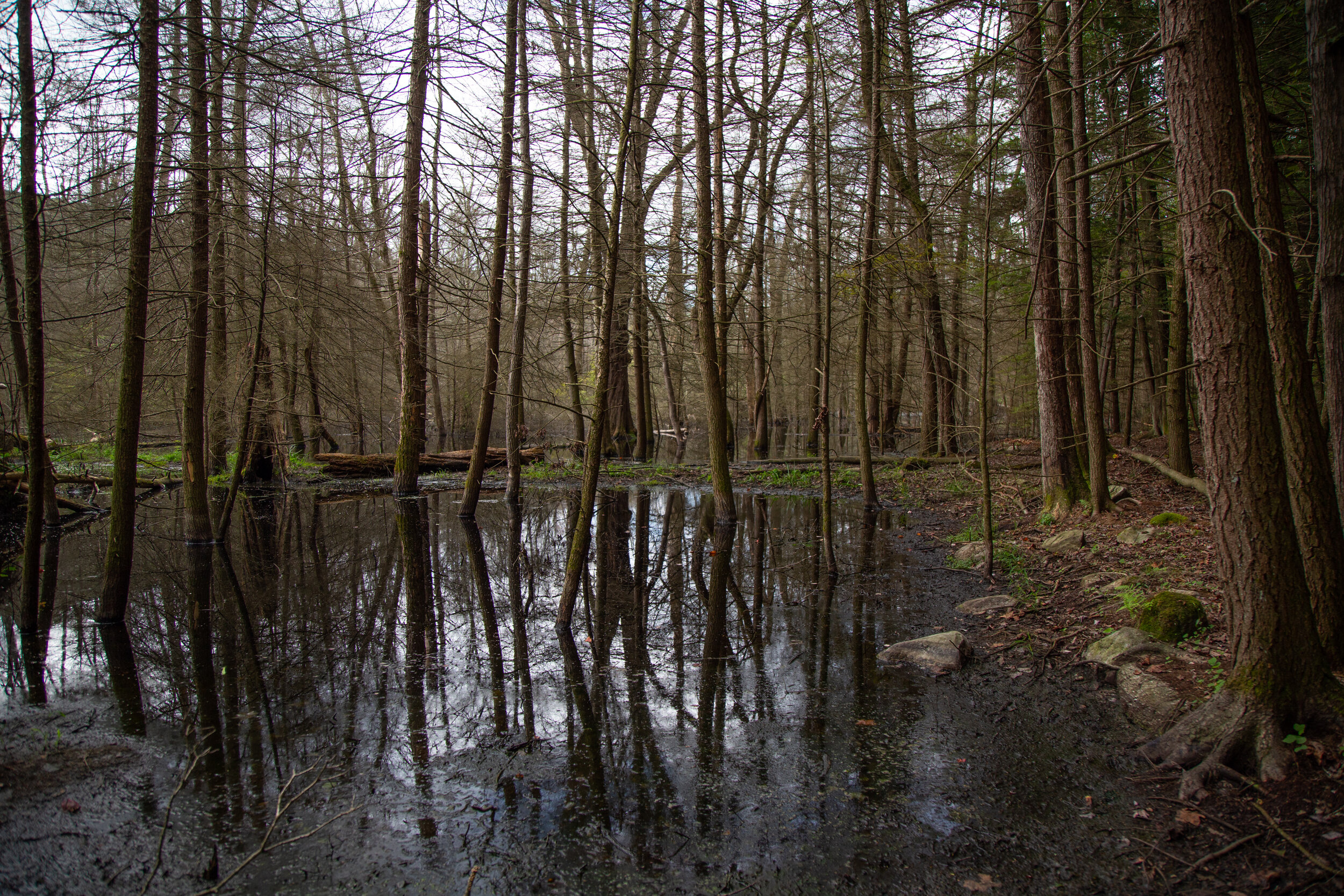
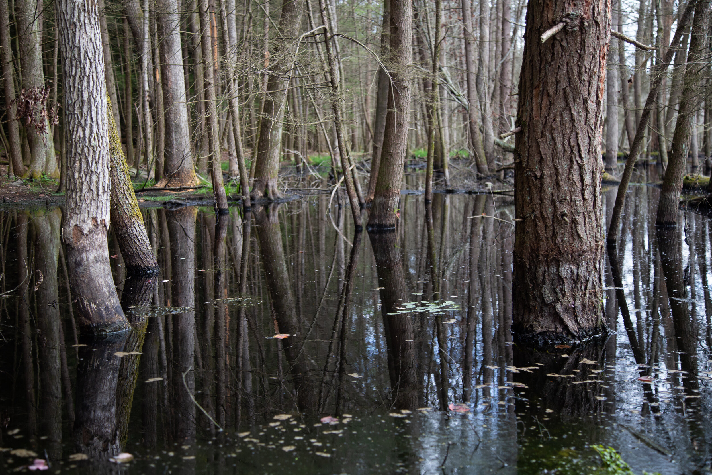
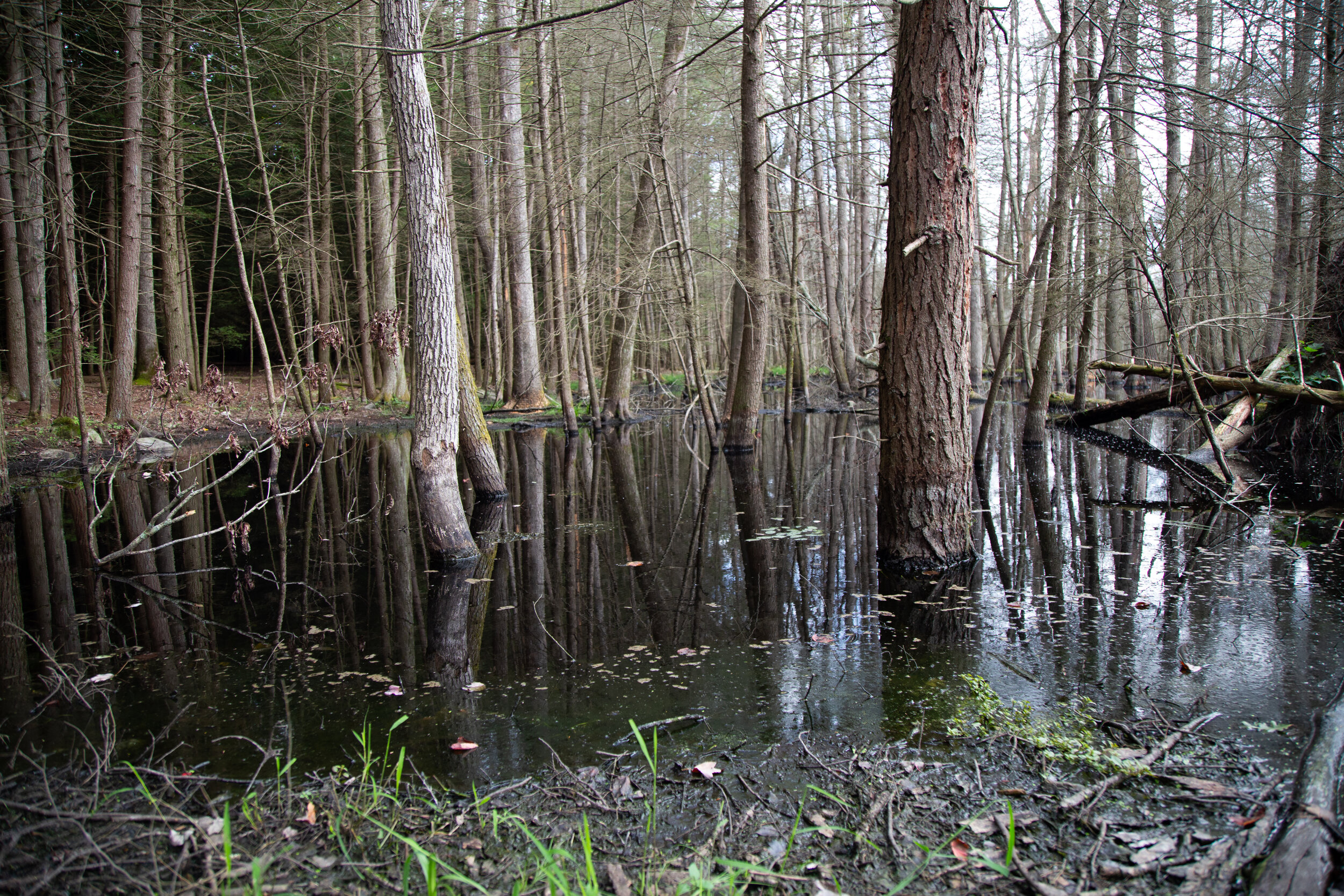
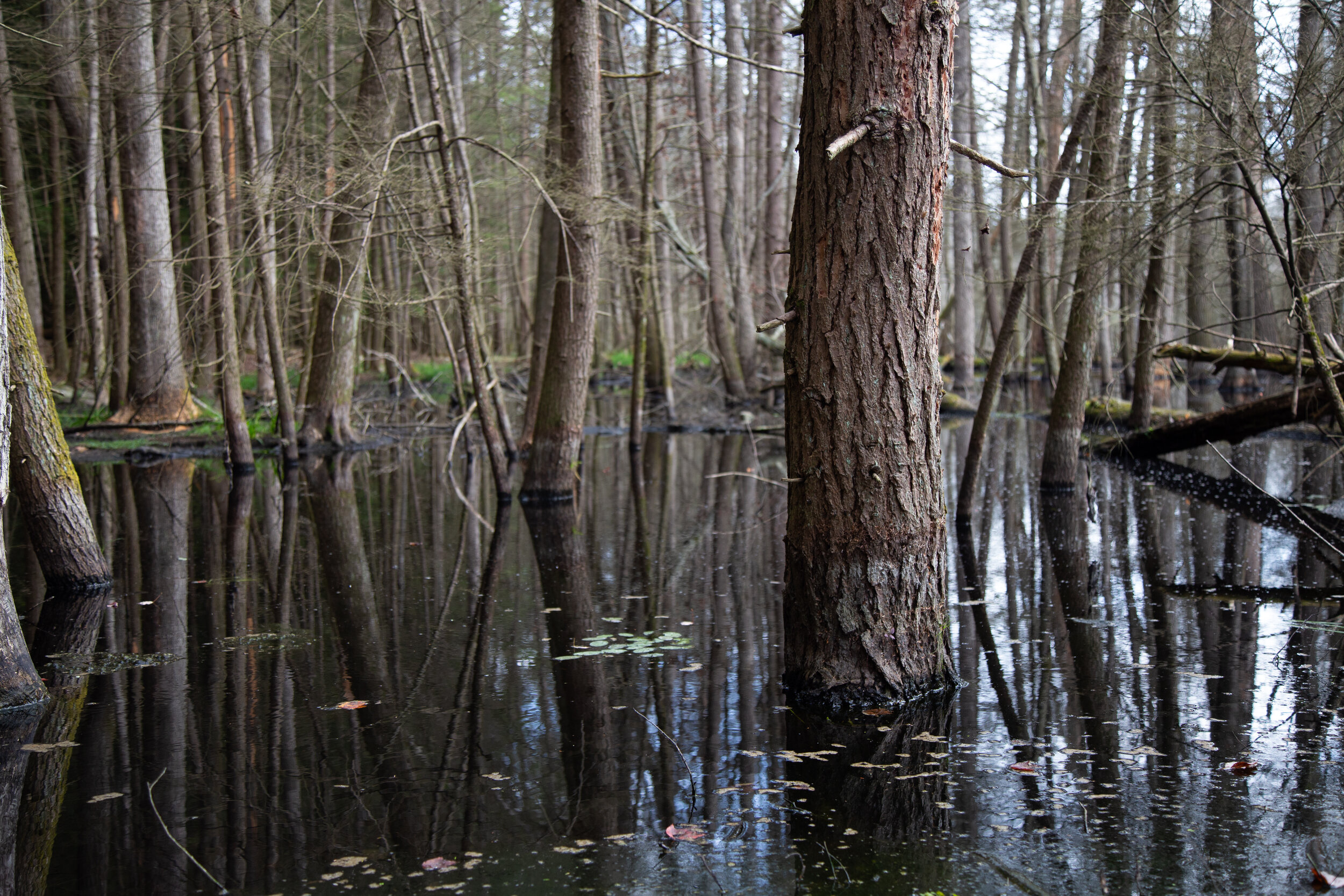
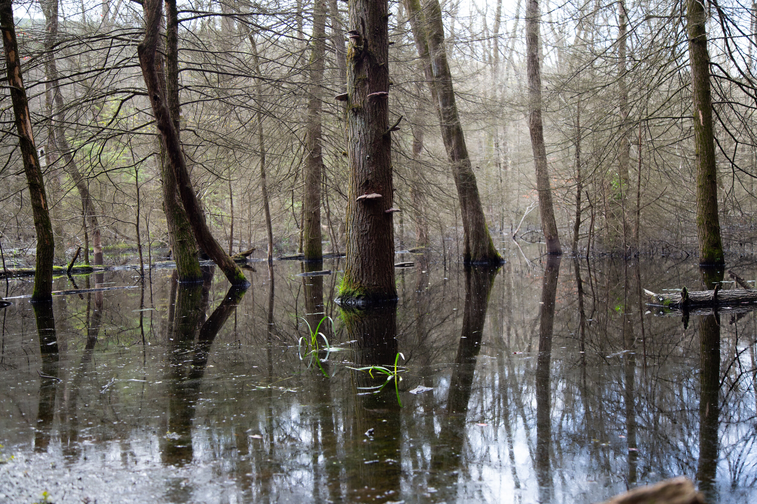
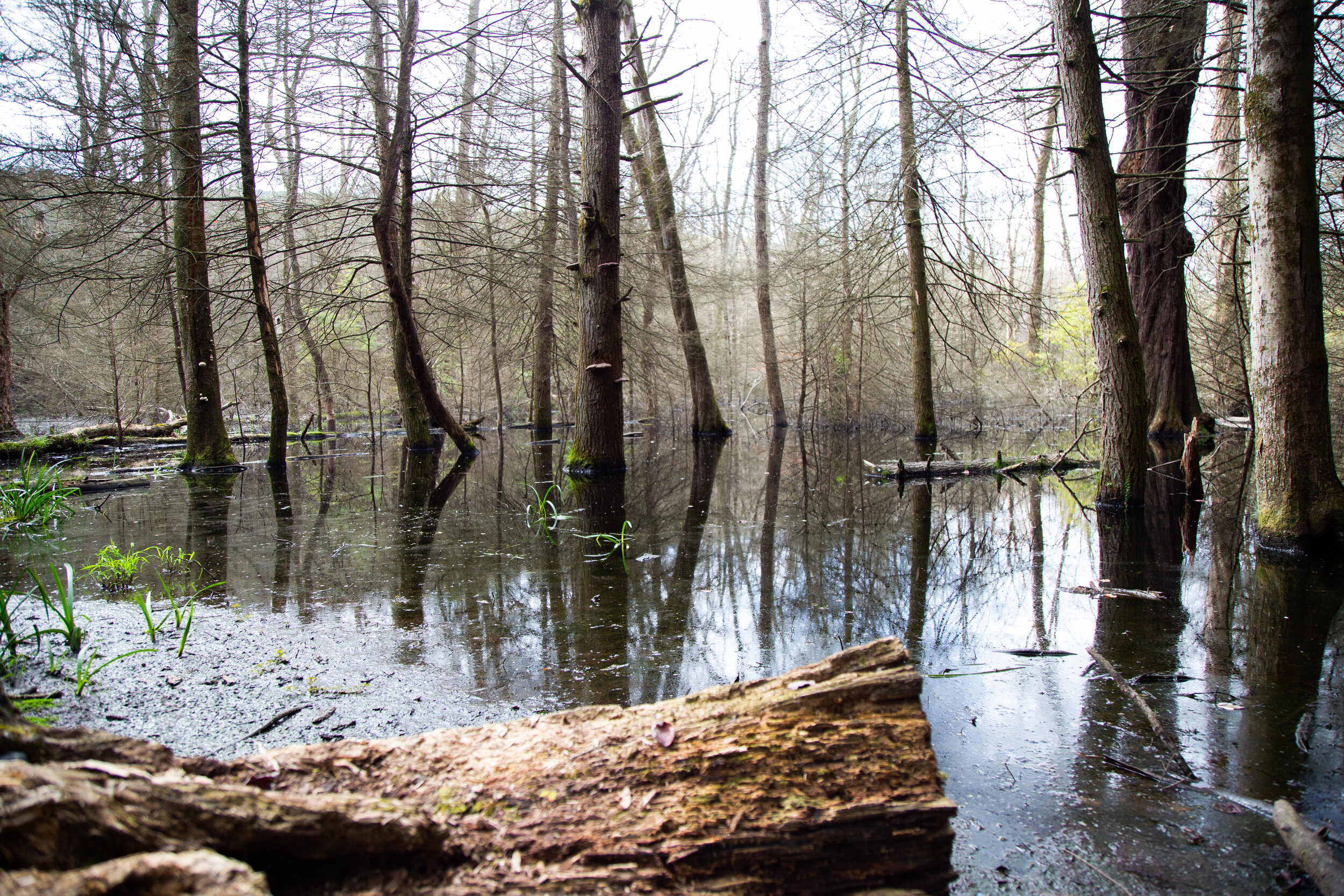
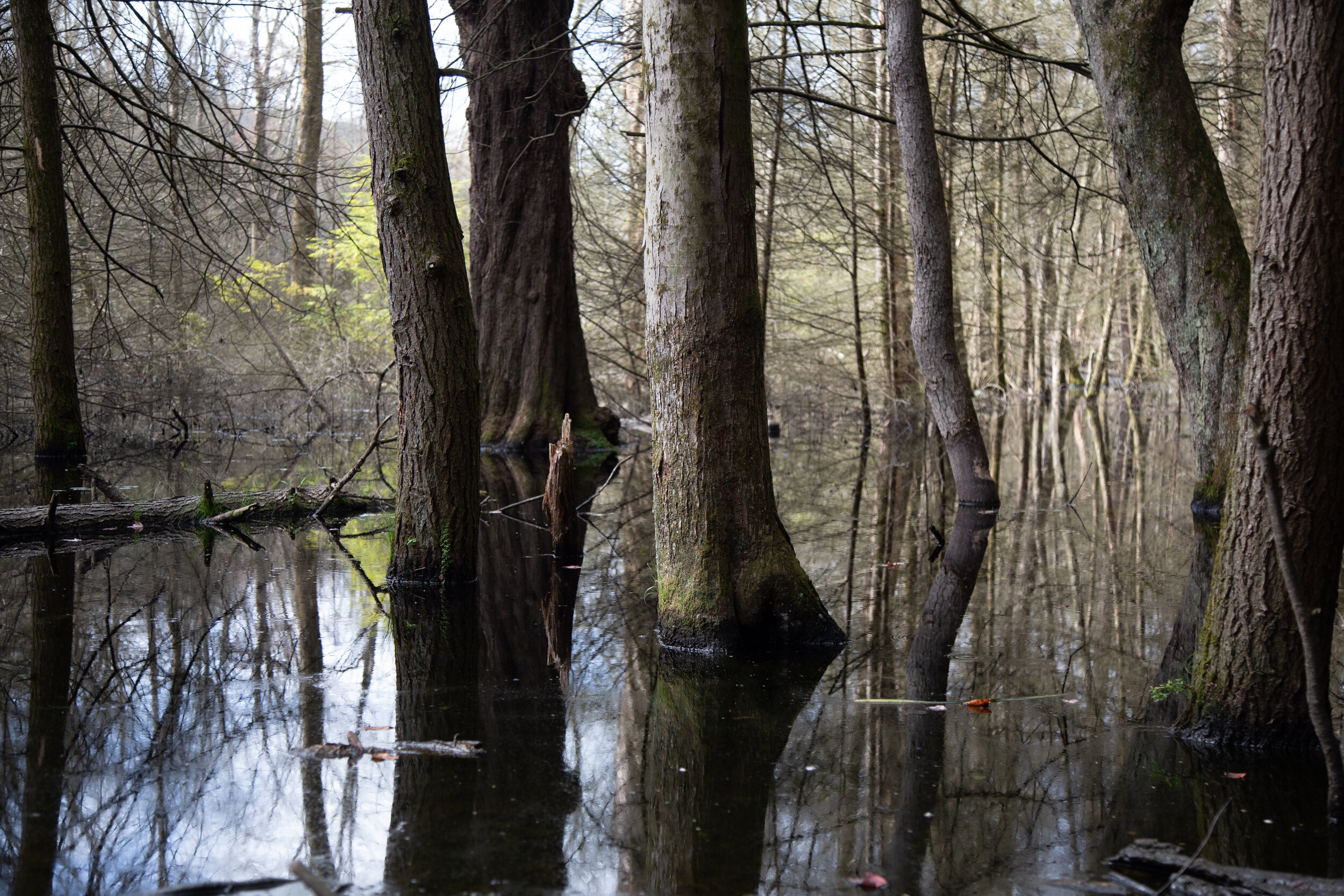
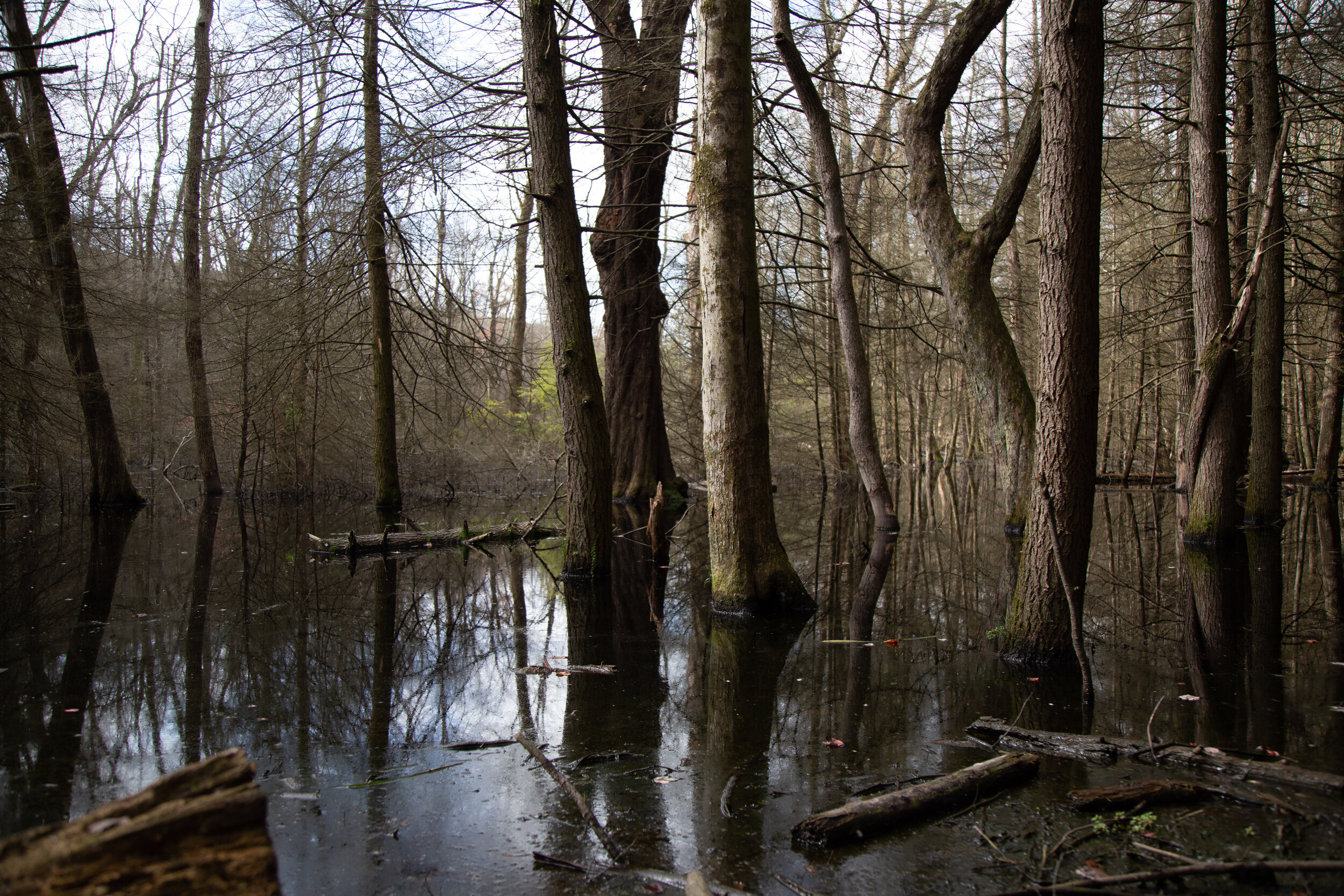
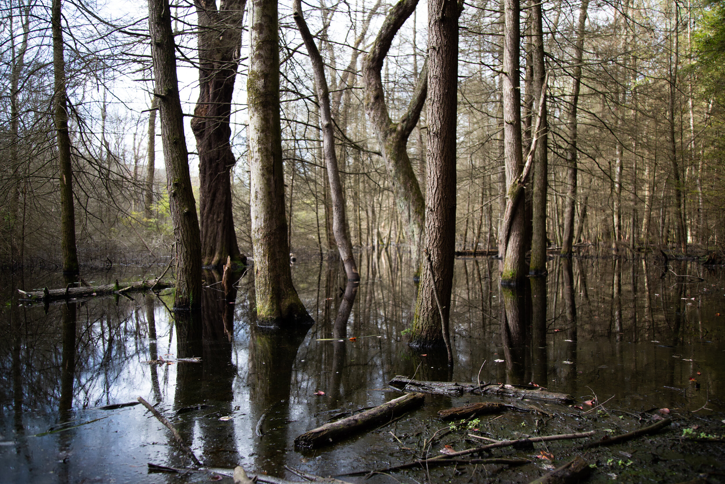
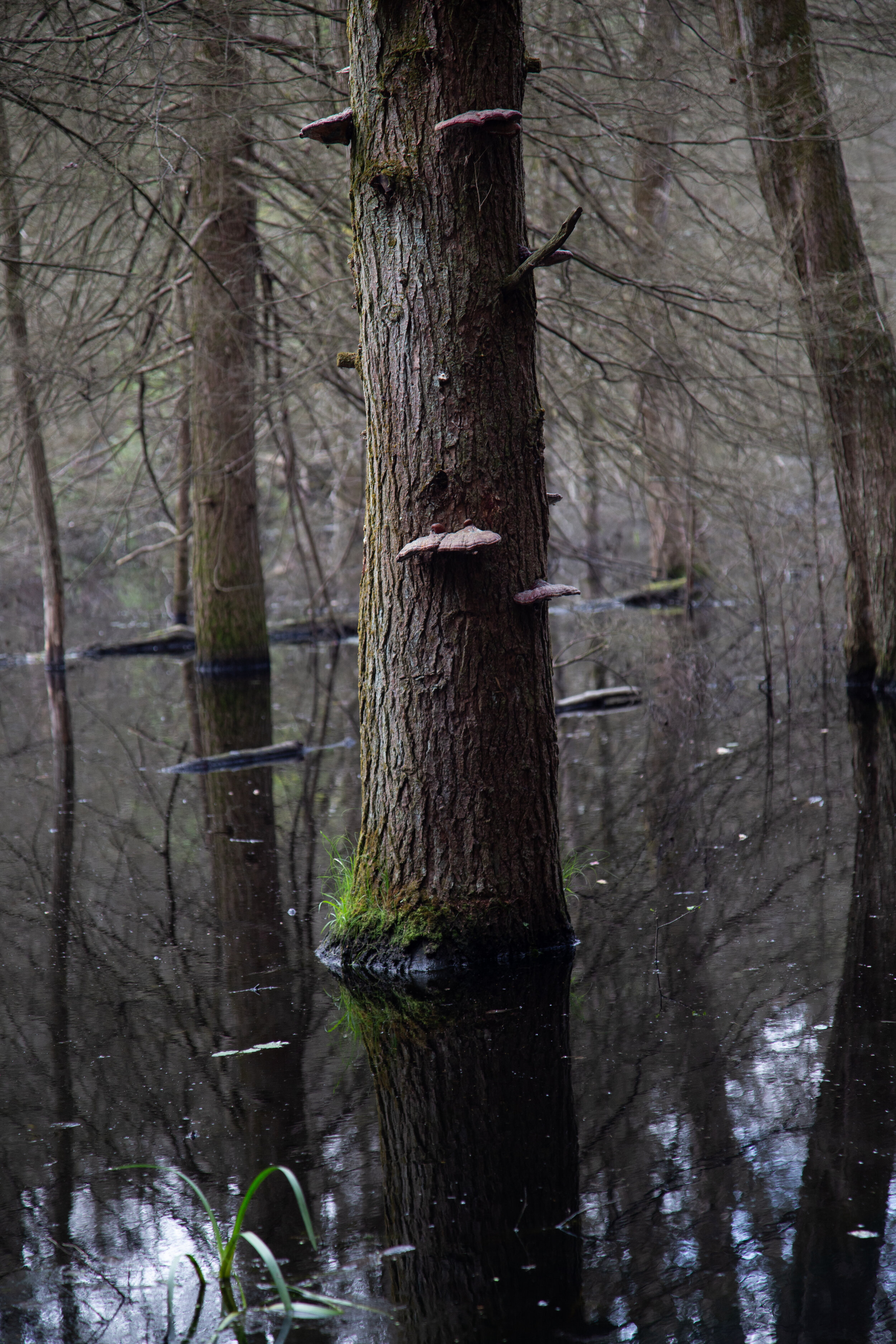
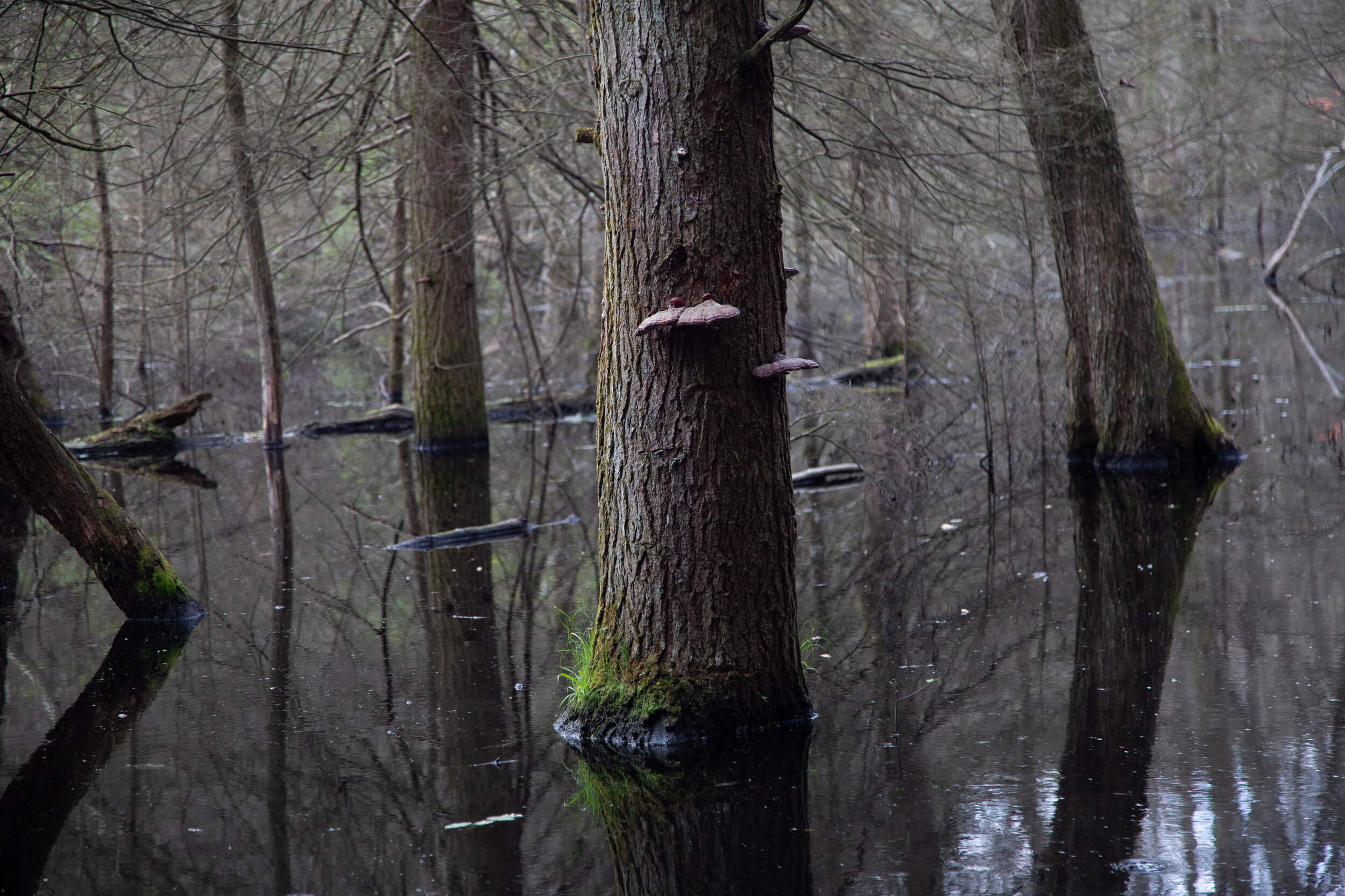
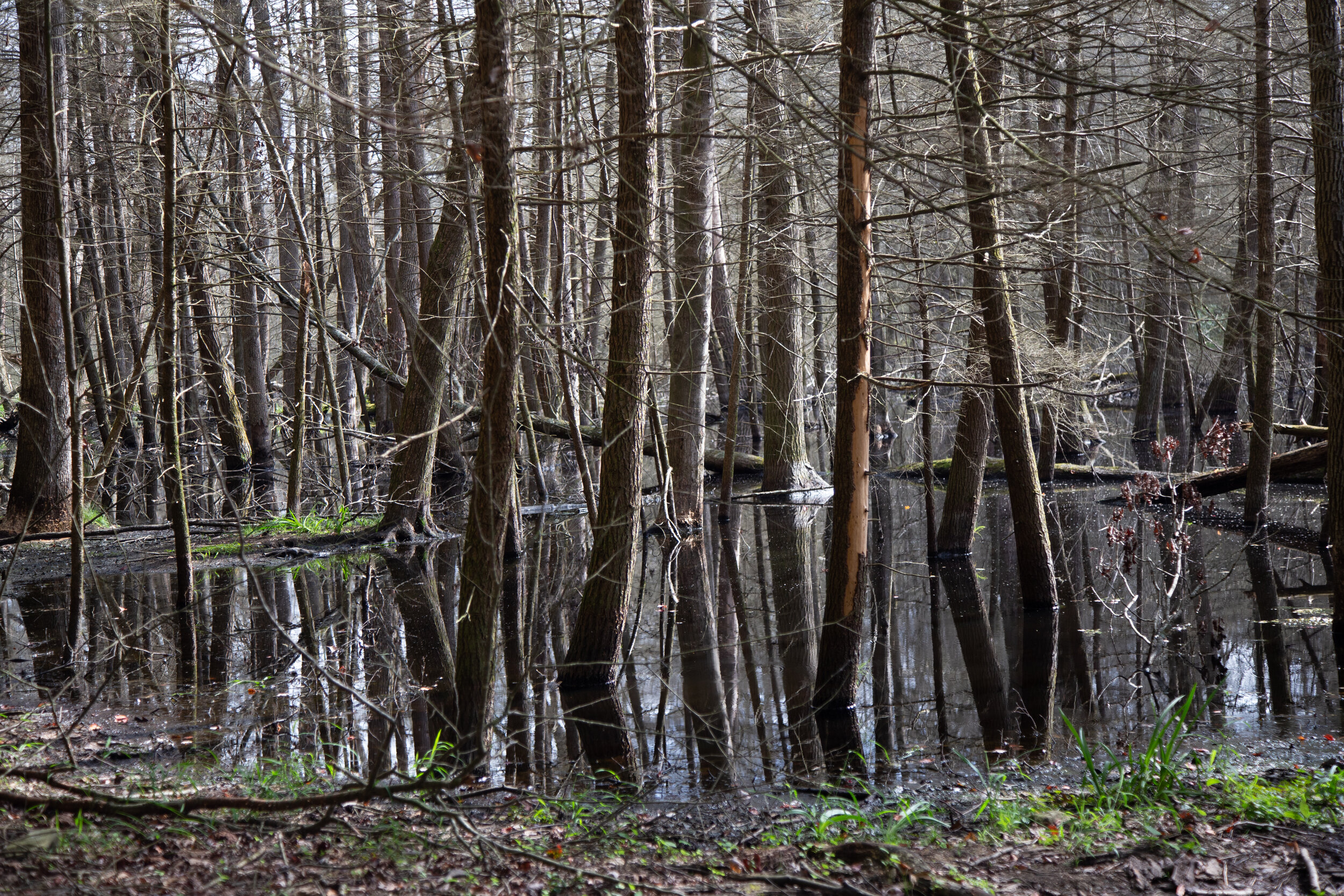
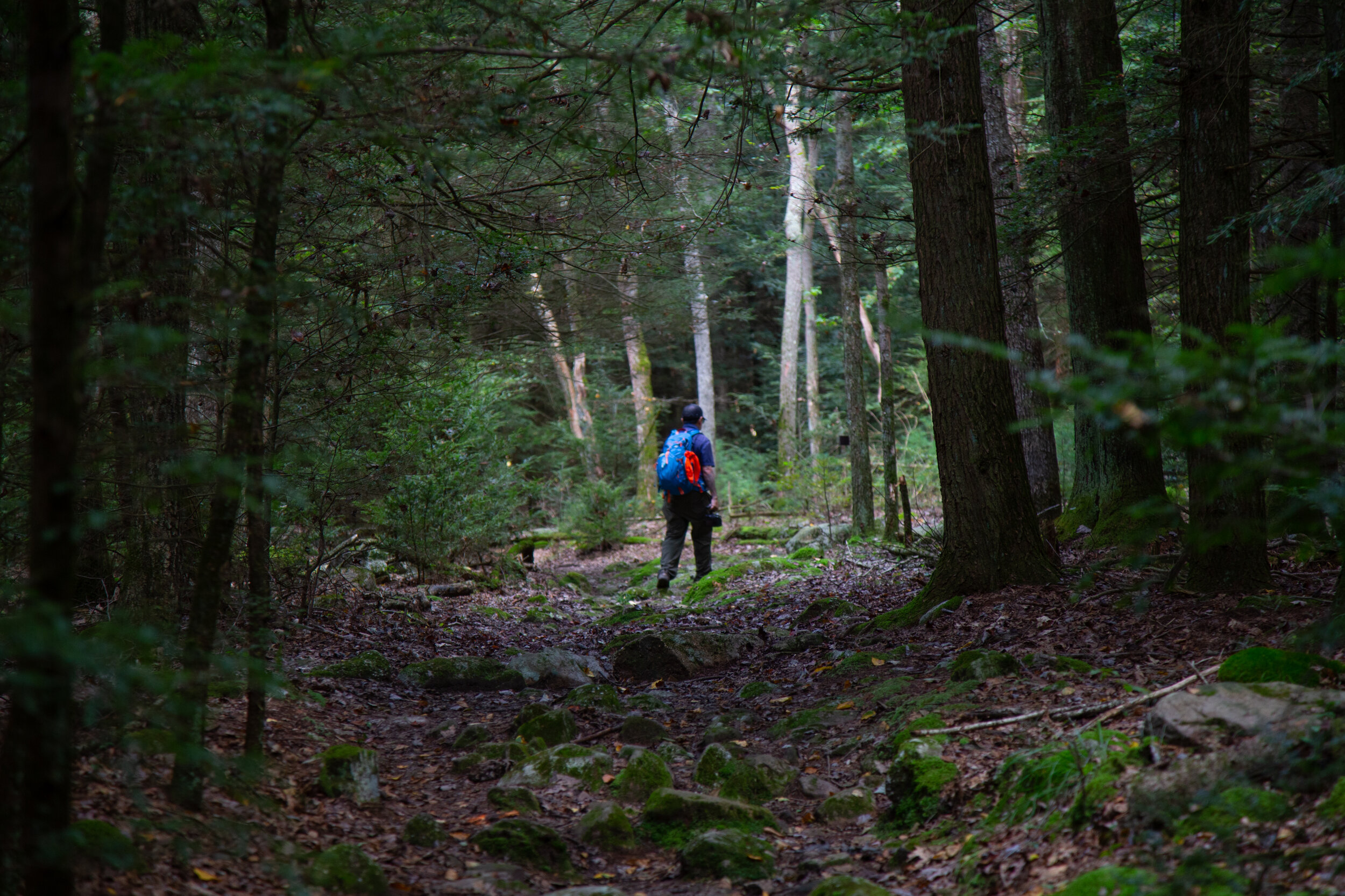
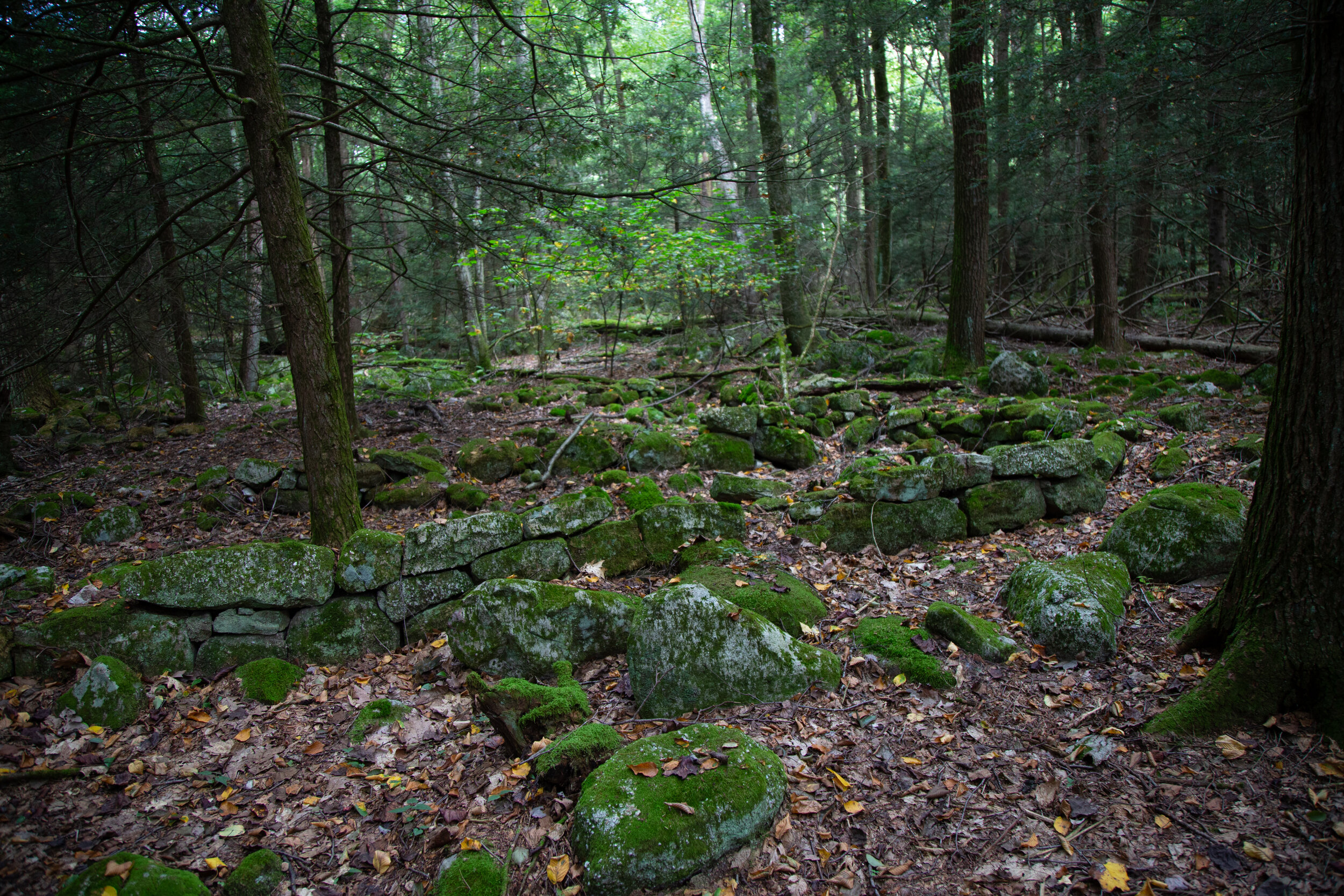
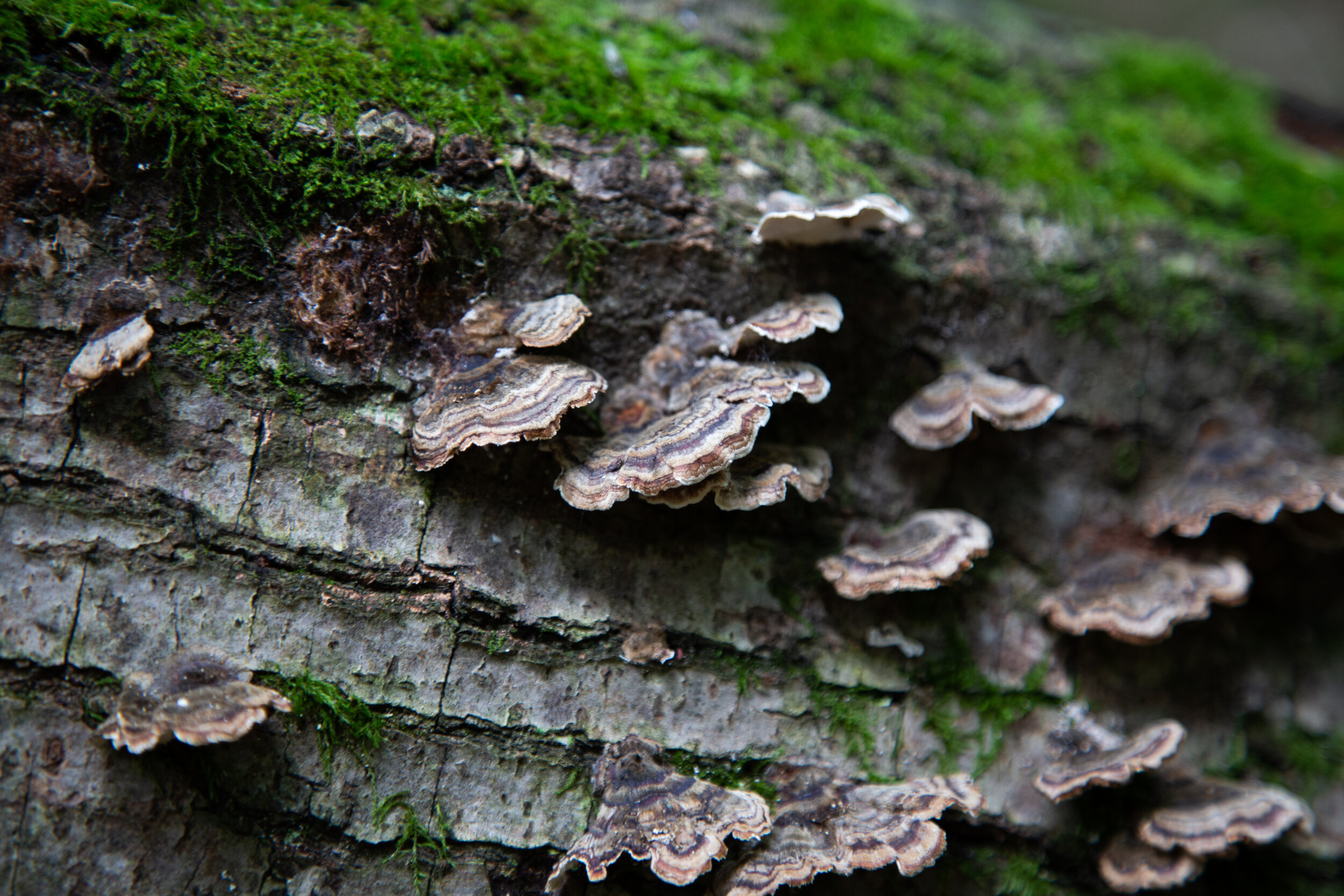
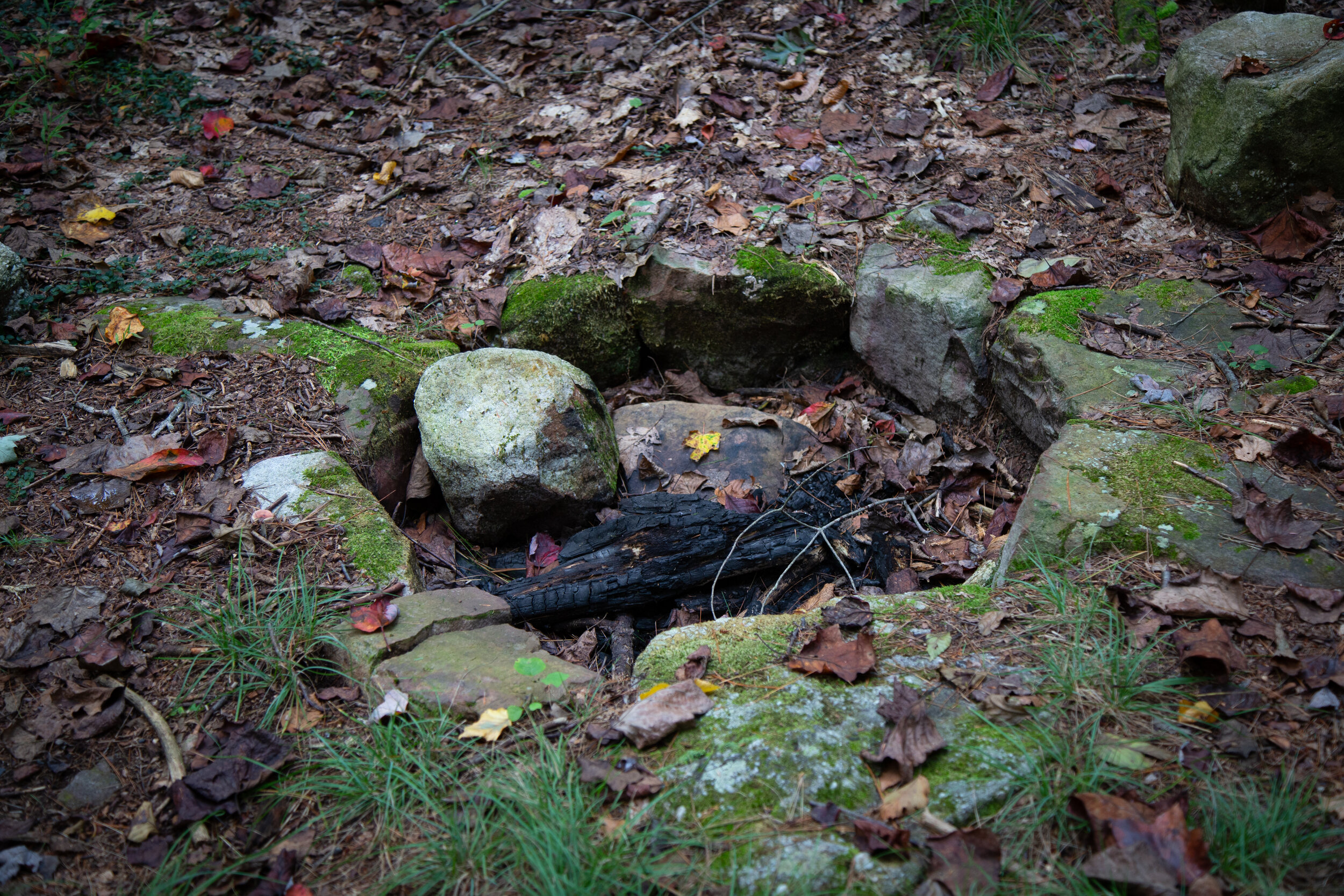
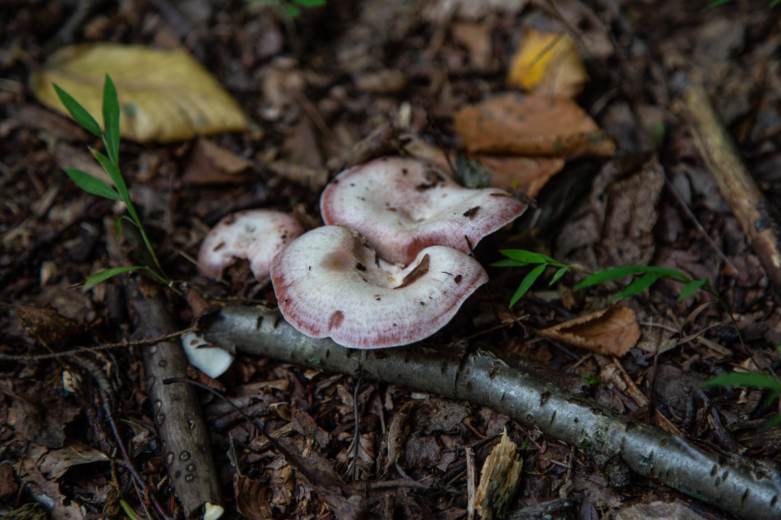
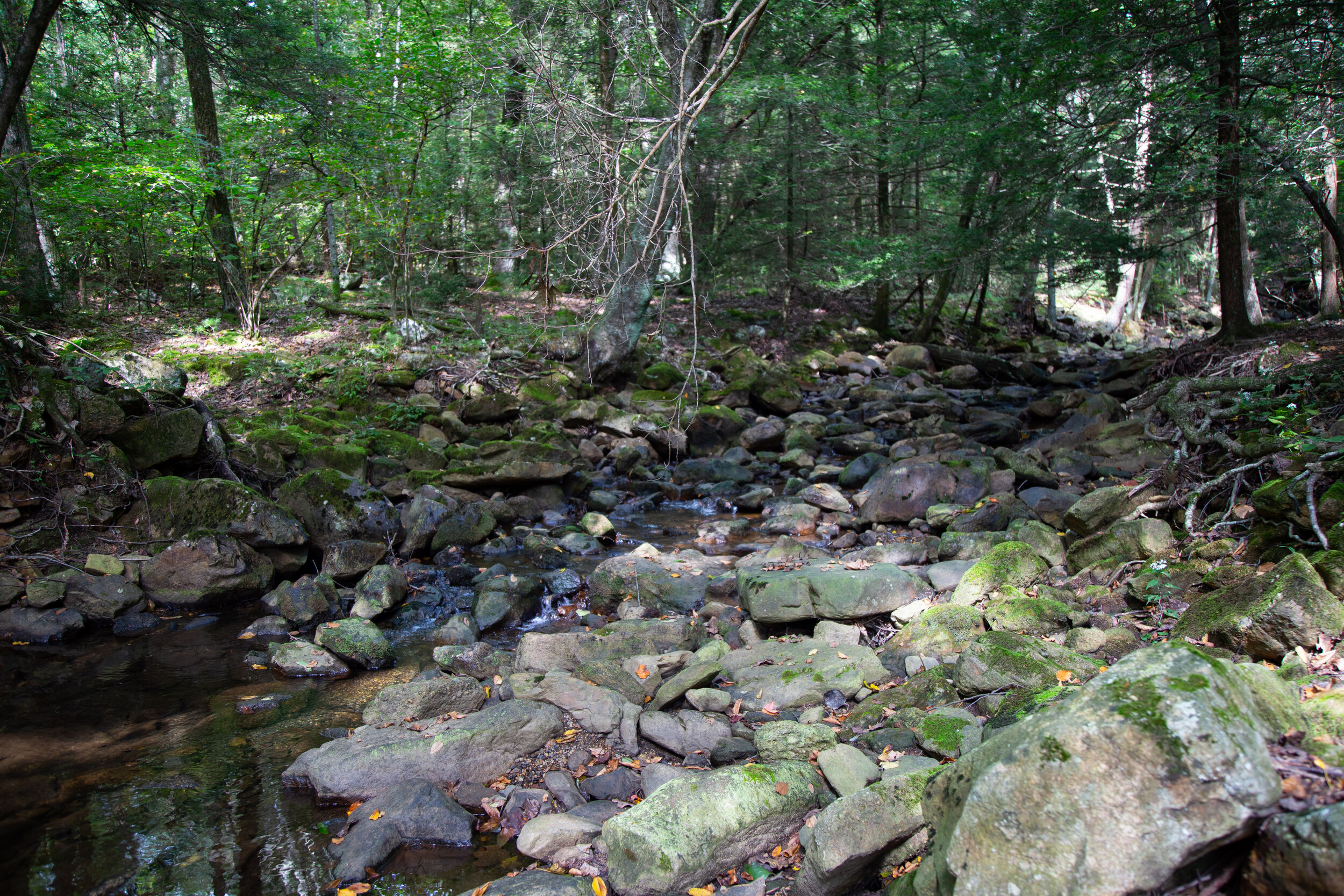
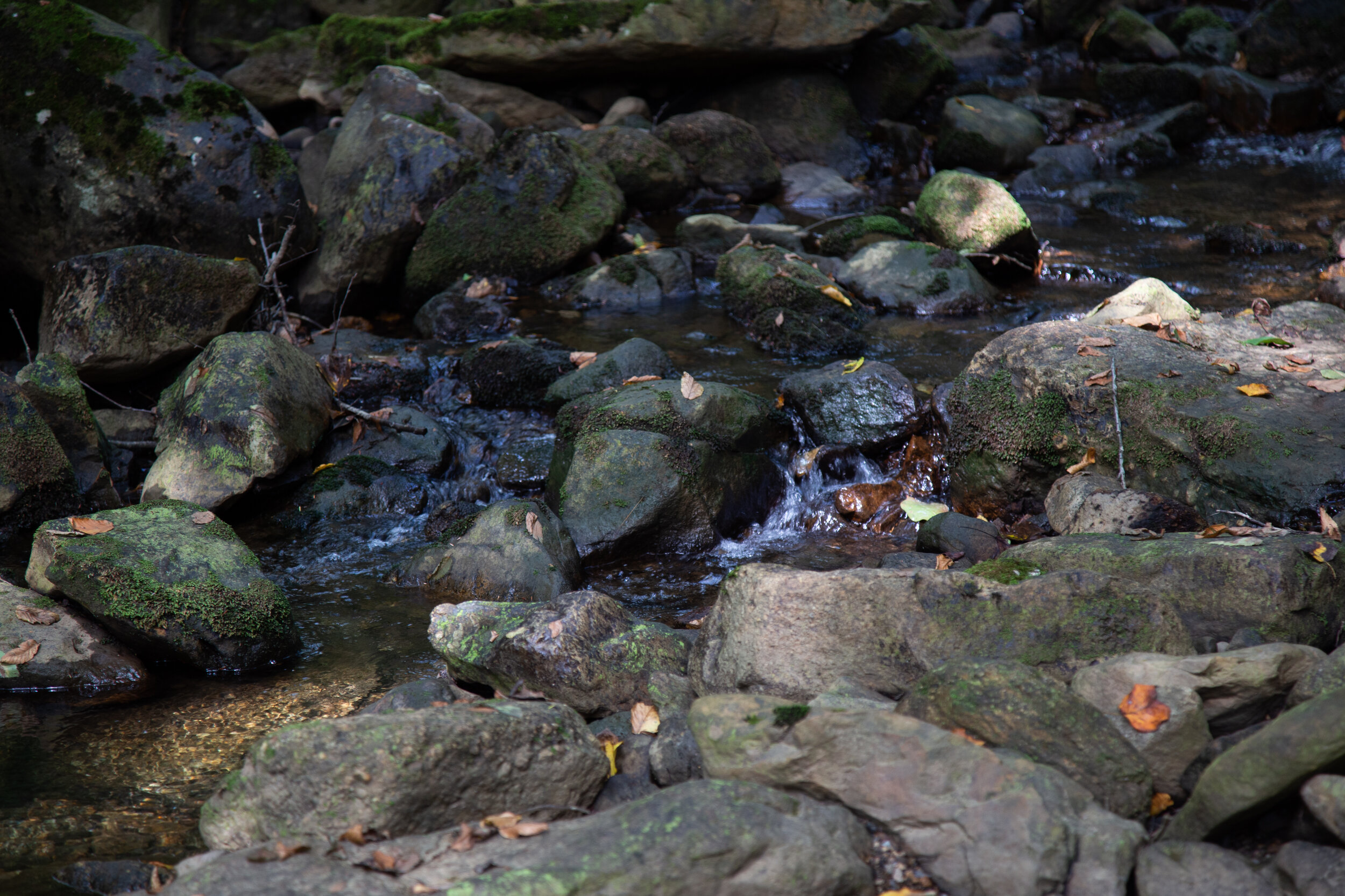
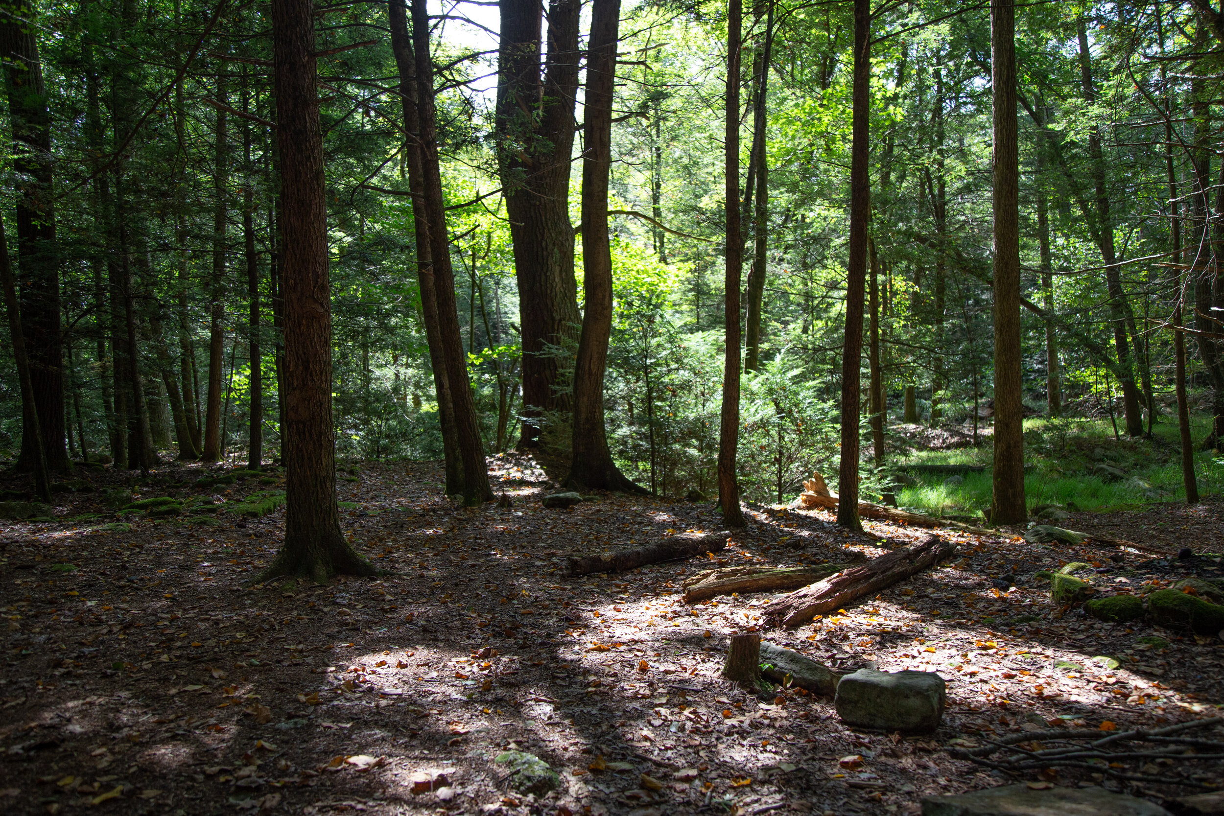
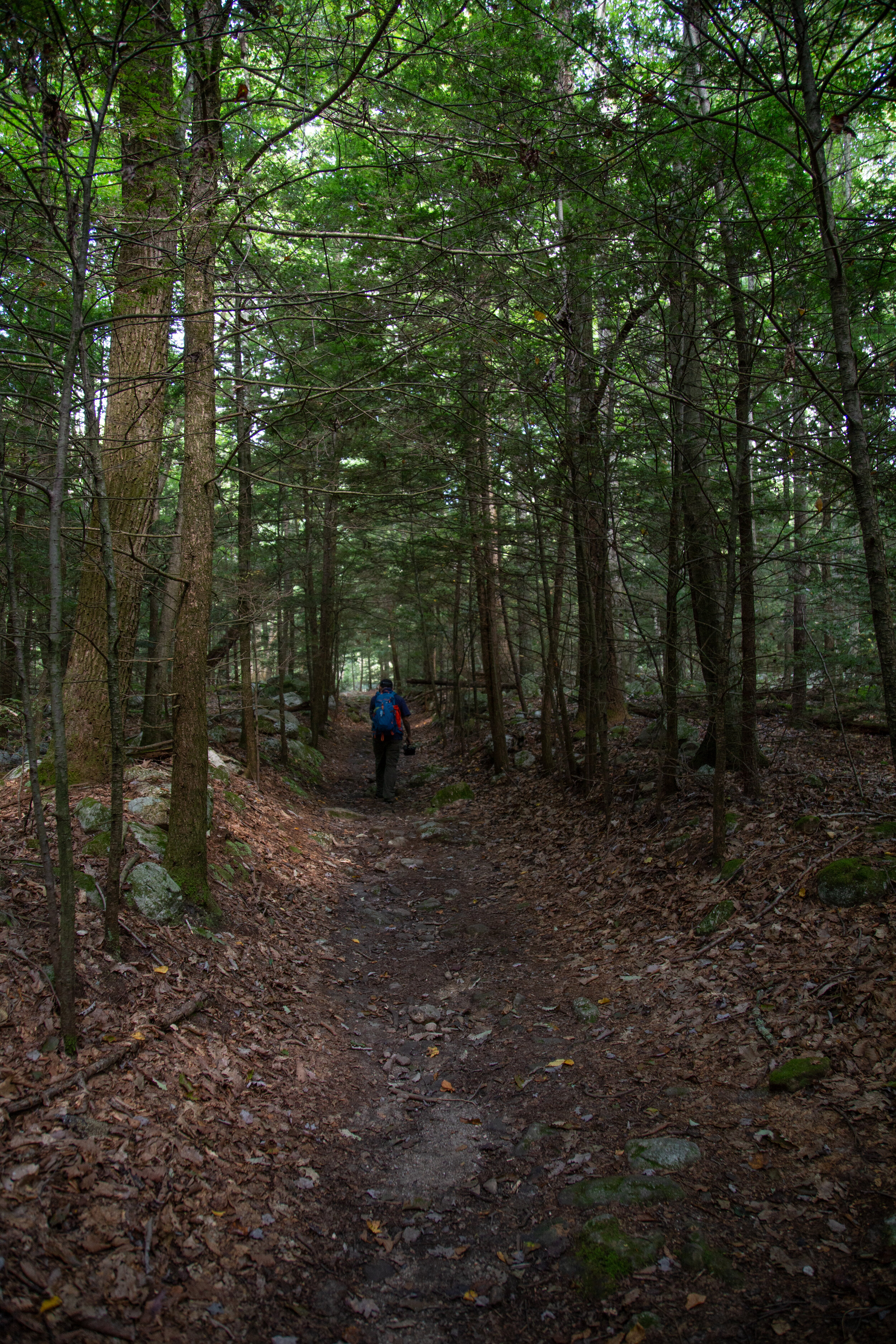
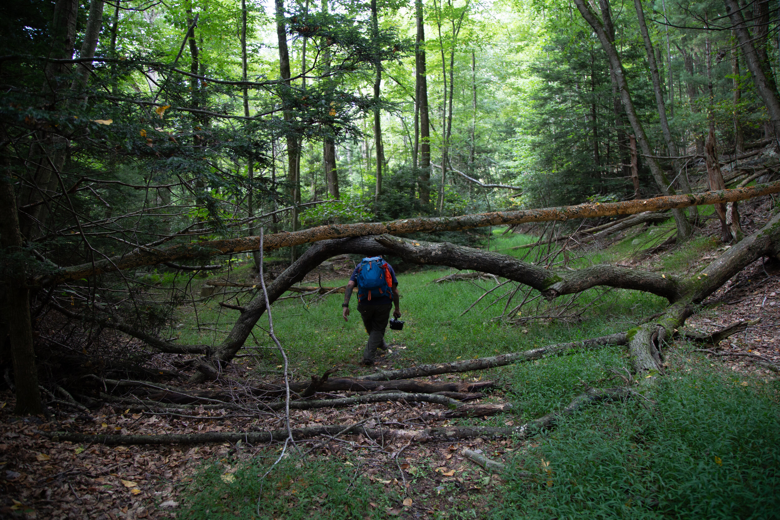
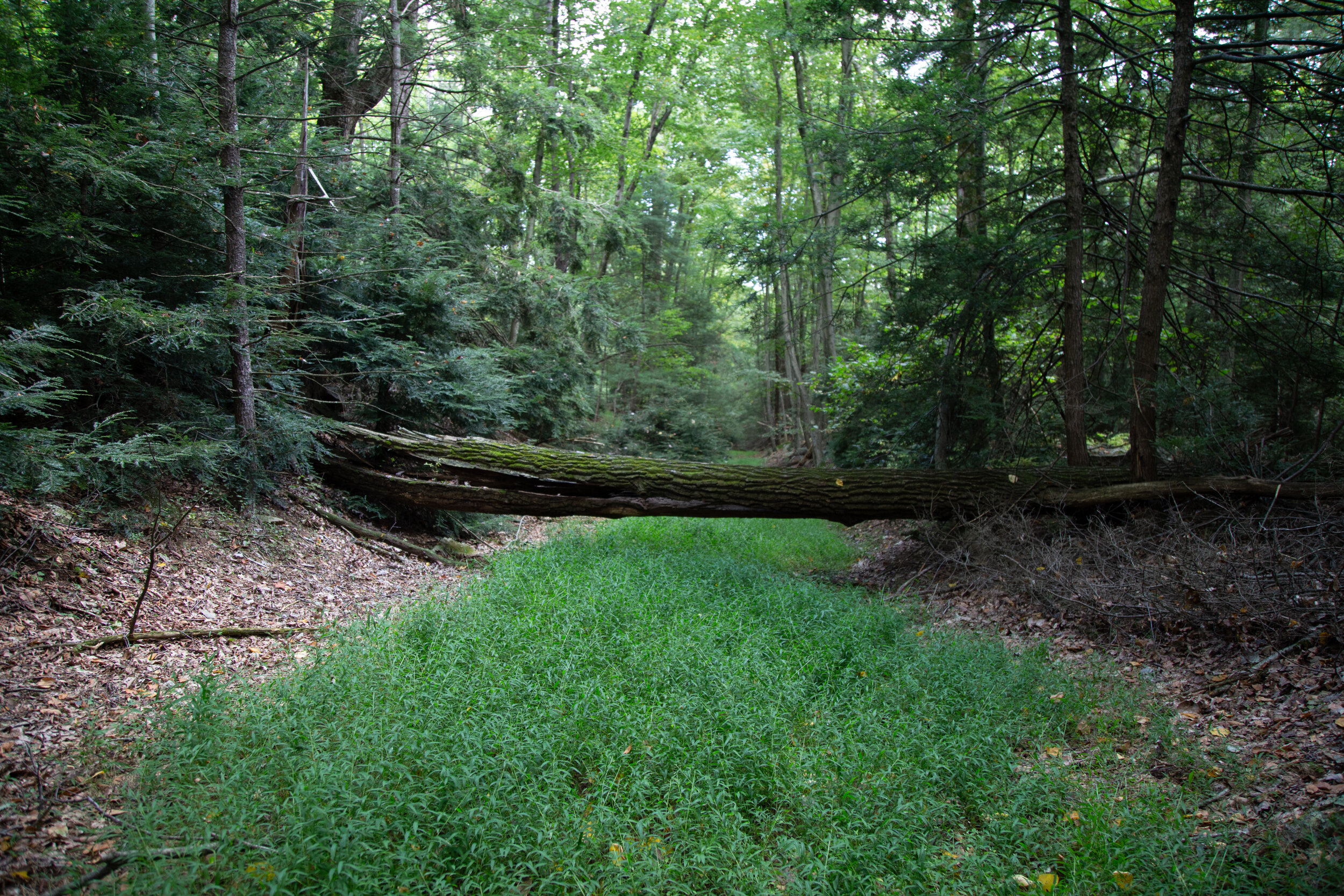
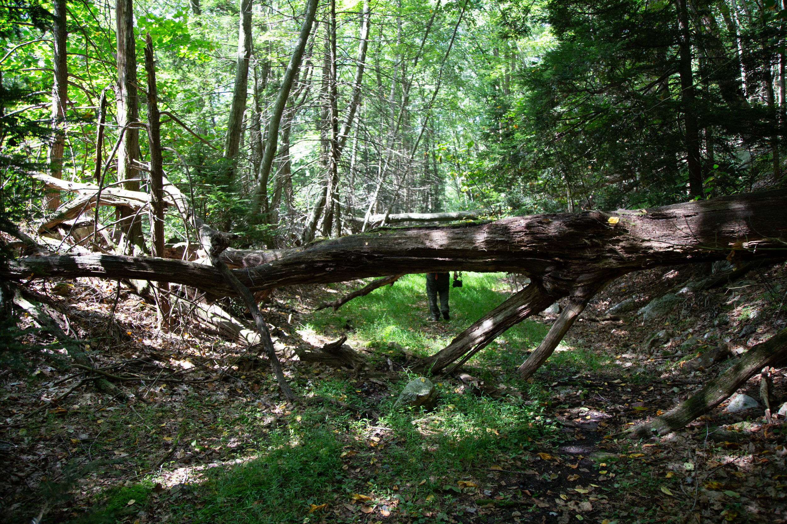
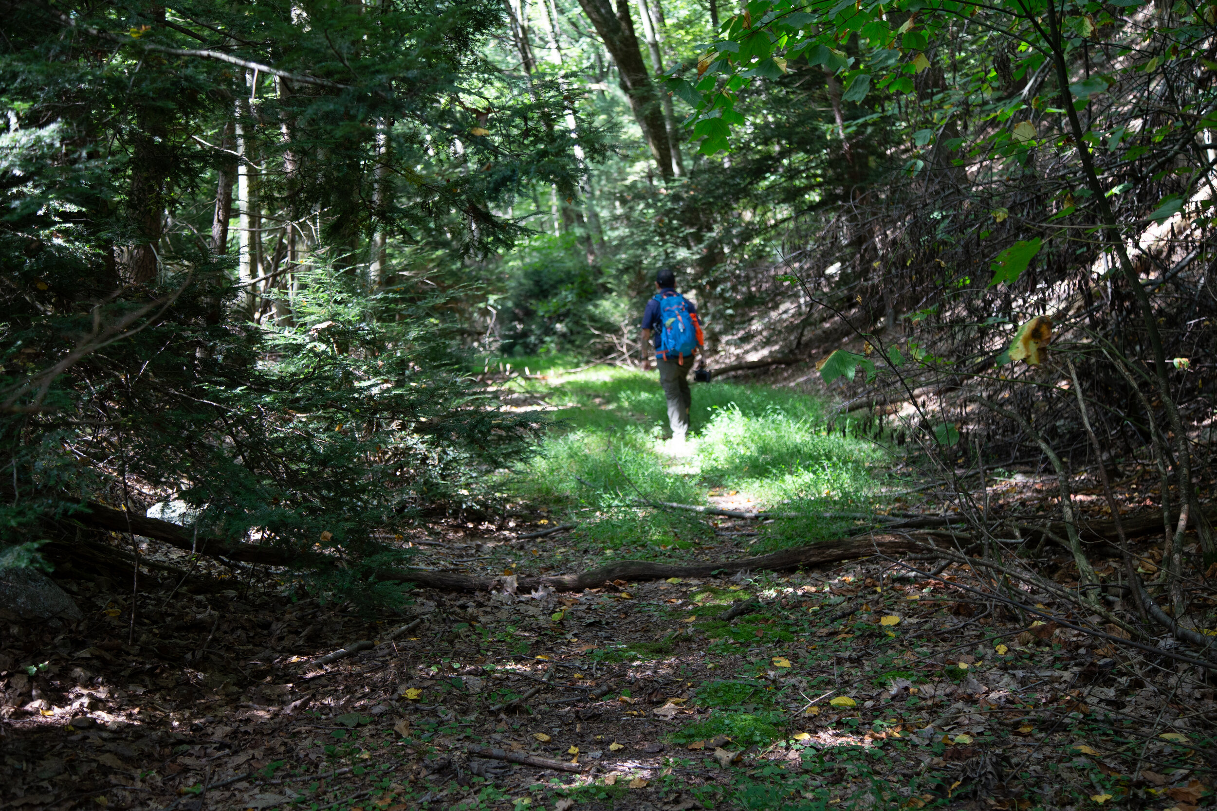
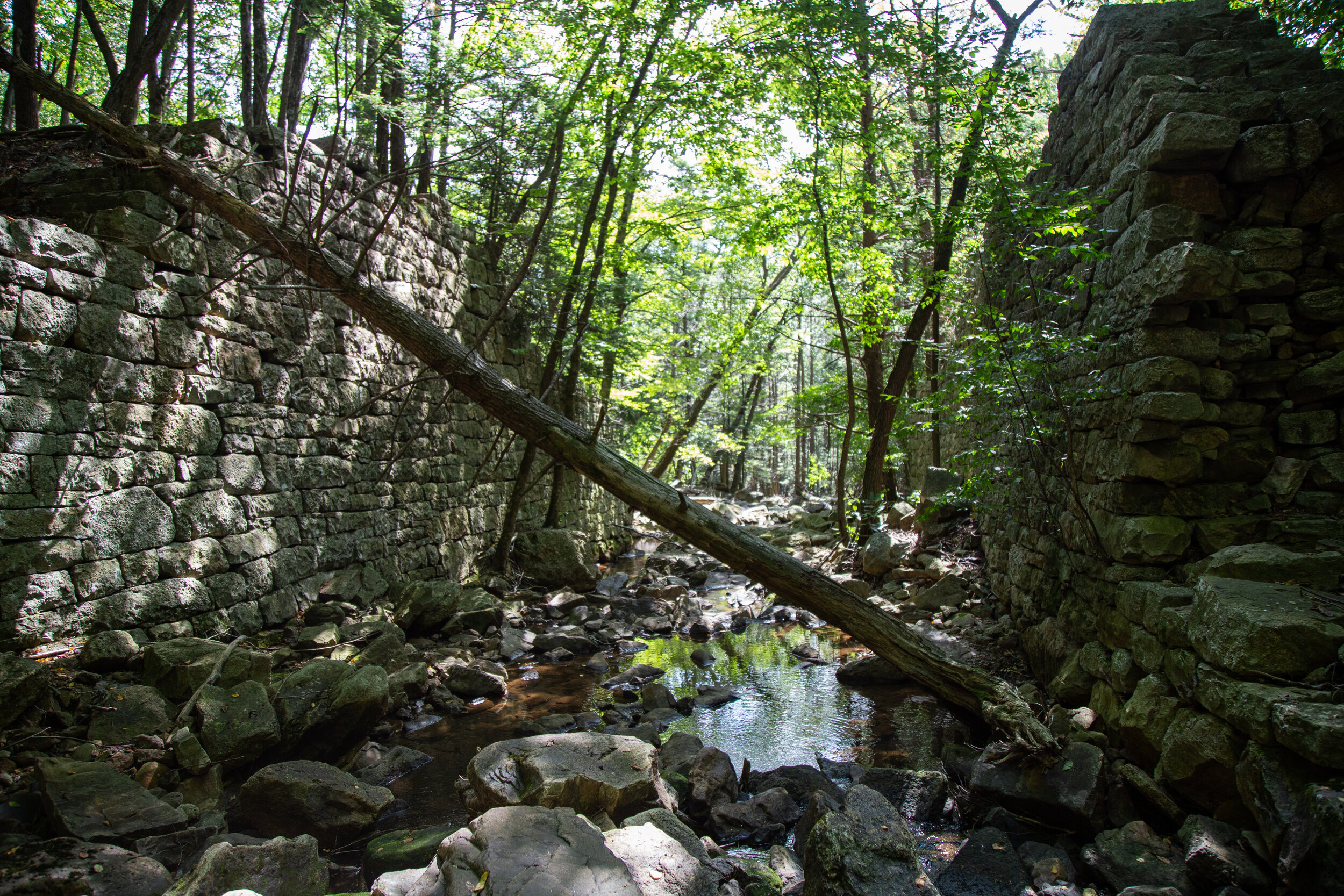
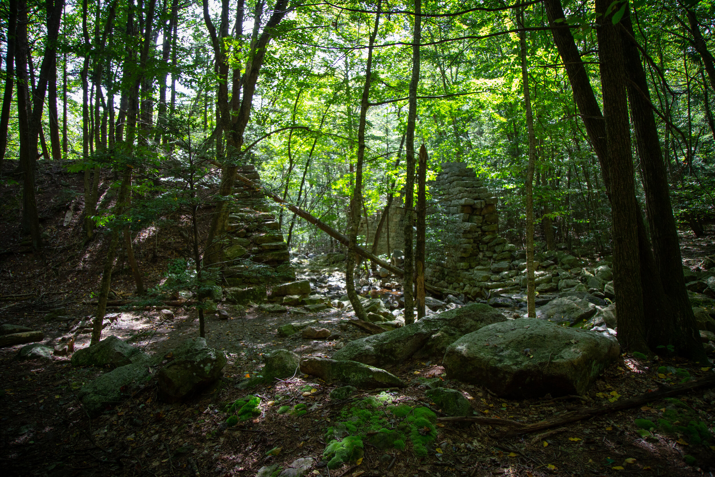
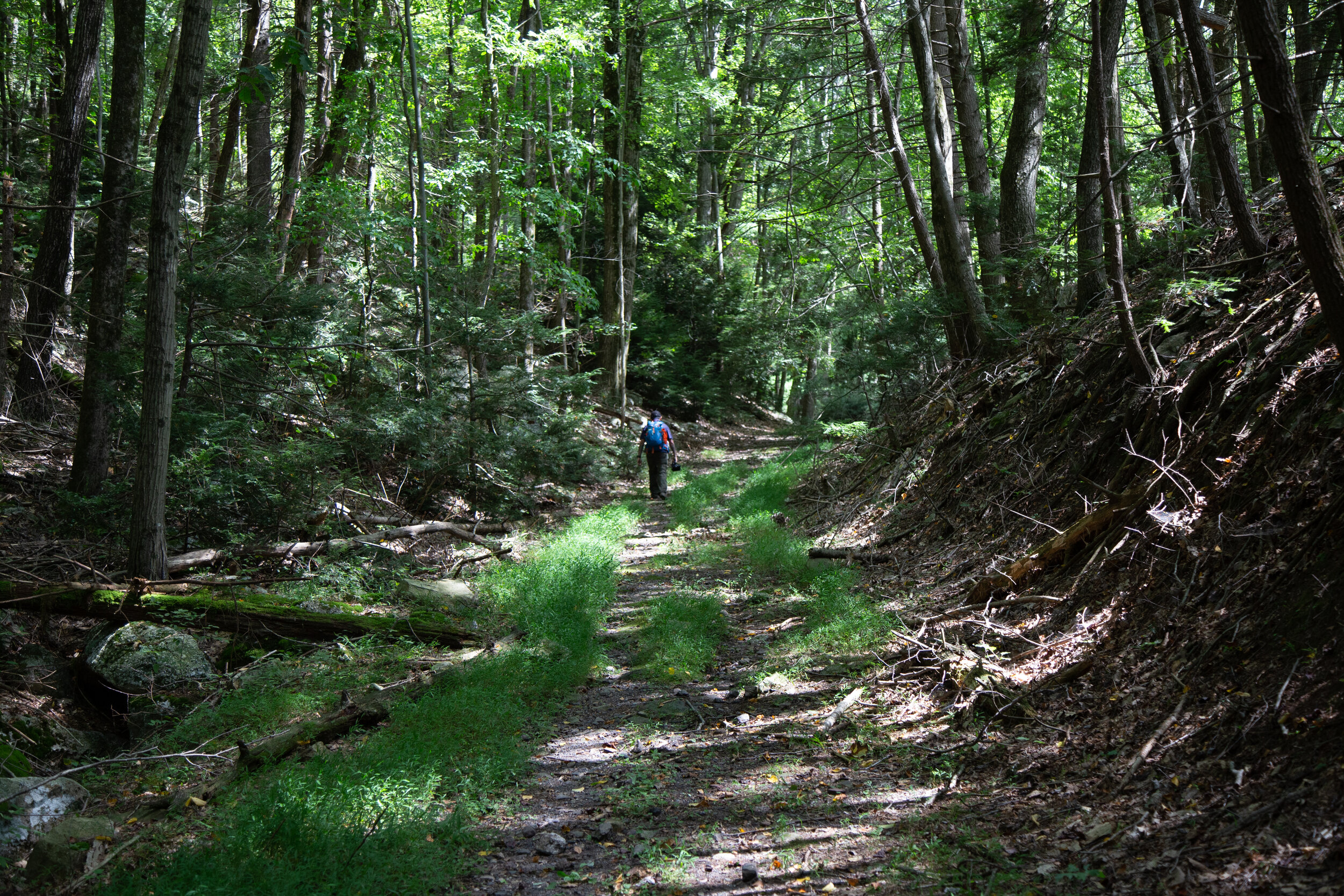
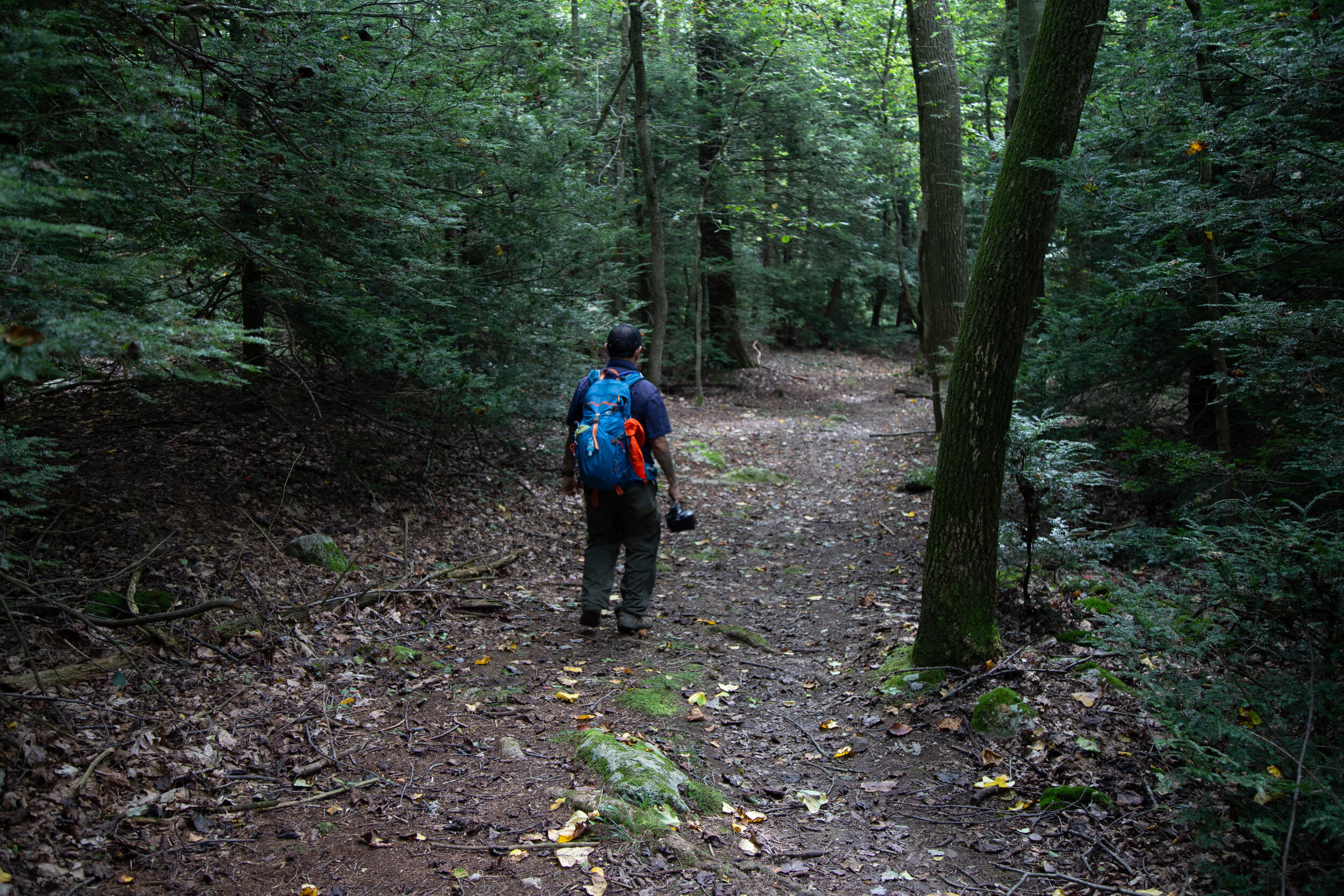
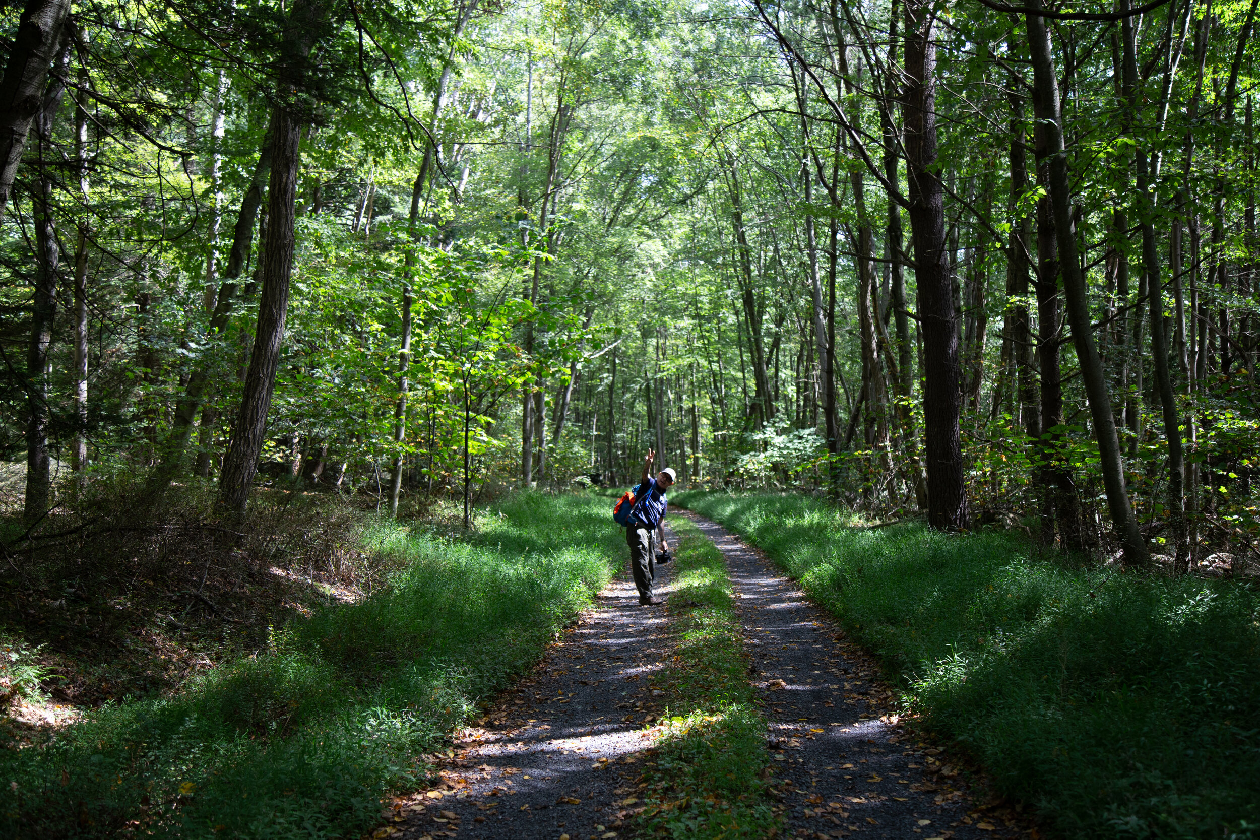
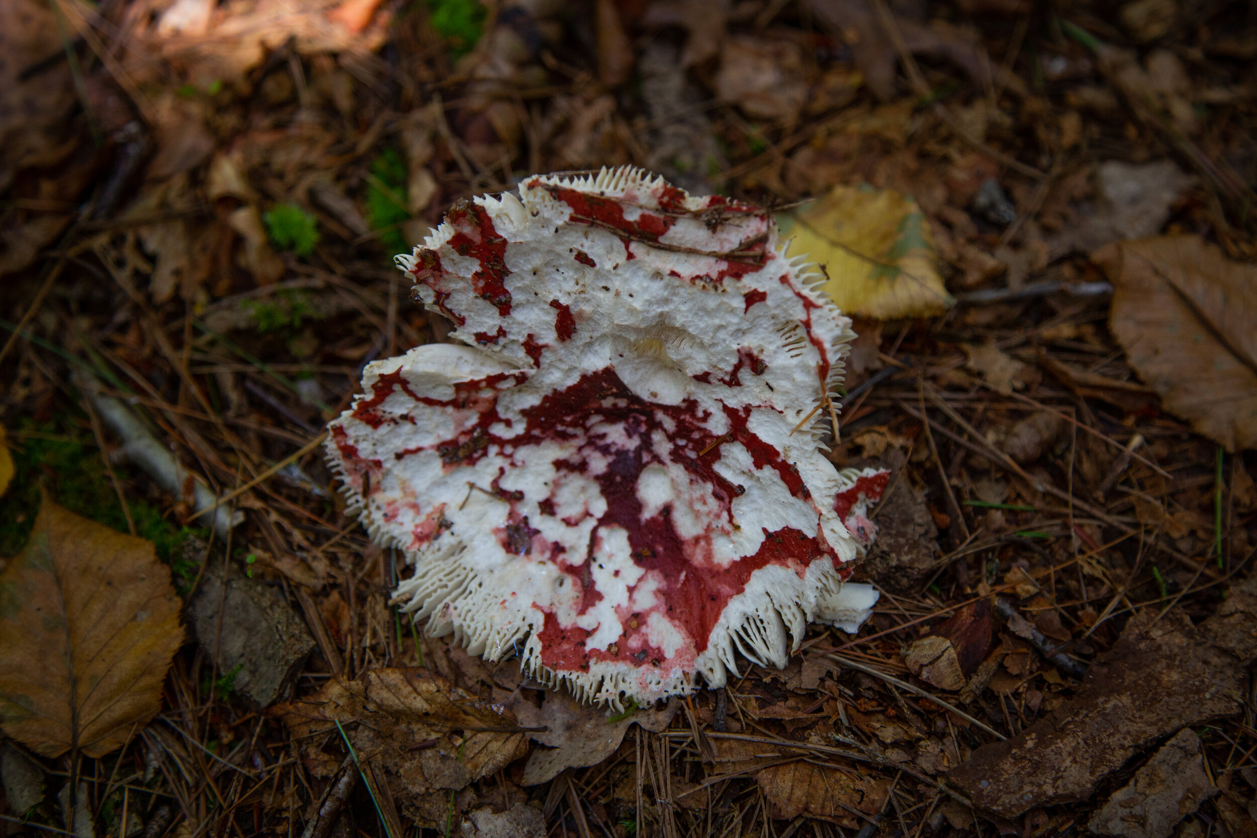
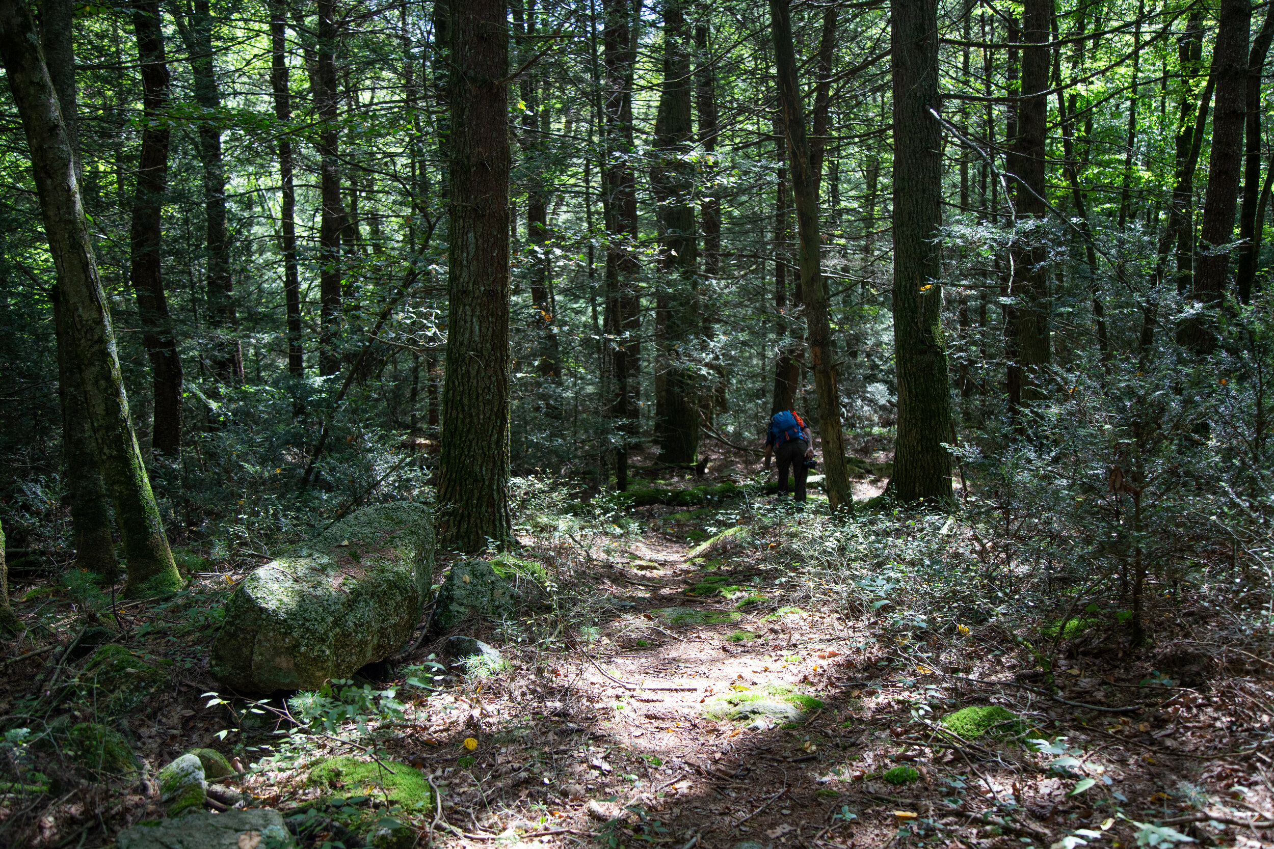
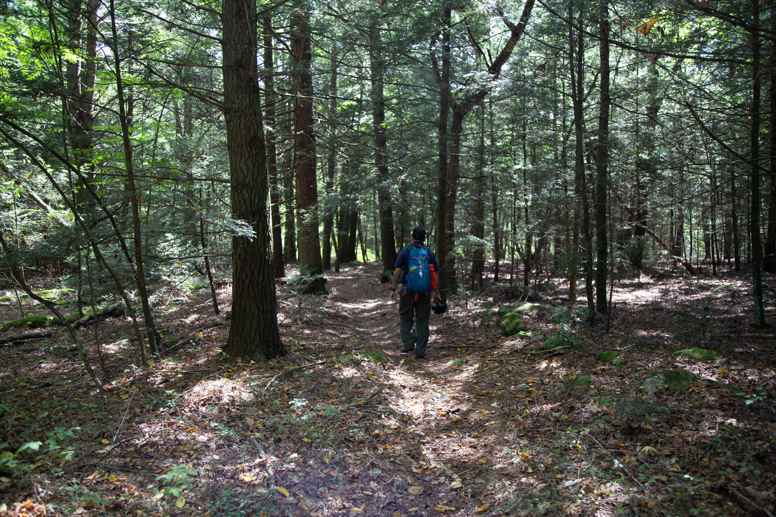
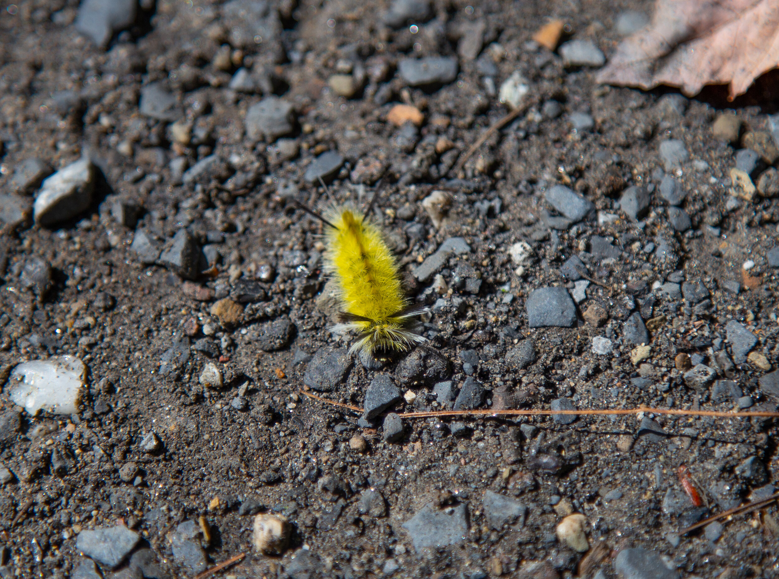
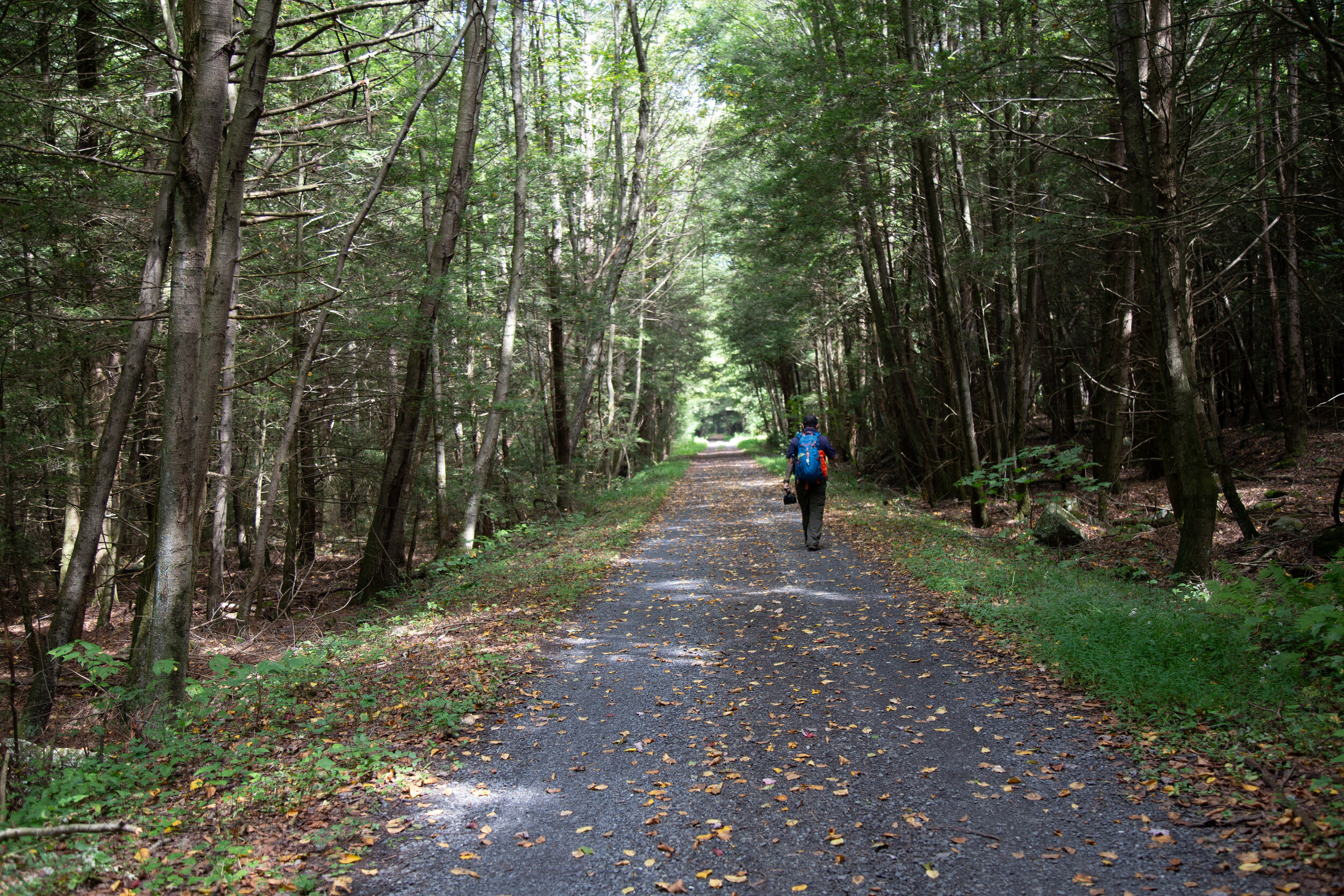
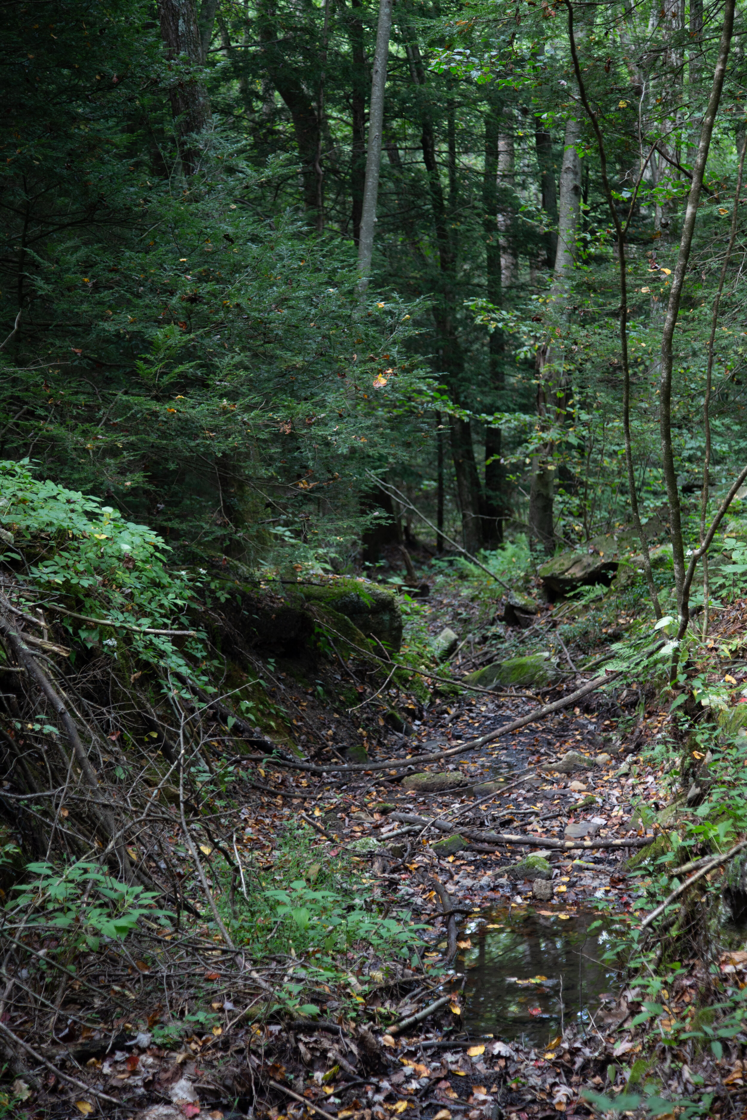
This weekend I went back to Stoney Valley to find the old coal mining cemetery. I parked just off Gold Mine Road and began the 3.5 mile walk to the junction with the AT on the Stoney Valley Rail Trail. This time I detoured off the main trail and made my way down to the Evening Branch Beaver Swamp to get a better look at it. I saw some frogs, but no luck seeing any beavers. I walked back up to the rail bed and veered off again when I reached Sand Spring. Sand Spring is true to its name with its sandy waters flowing out of the mountainside. It was a lovely day and temps were in the low 60s, perfect for hiking. When I arrived in Rauch Gap, I headed south on the AT in search of the cemetery. It wasn’t too hard to find. There’s a junction off the AT with a sign. Last time I was here I just didn’t hike in far enough to see it. There are only three readable headstones left in the cemetery; however, there are 100s buried here. These old coal mining towns have such a fascinating history. I can only imagine what it must have looked like in the 1800s. Along the way back up to the AT, I veered off trail again to check out more ruins of the town. I found lots of old stone building foundations hidden away in the woods. Once back on the AT I decided to check out the water crossing at the Beaver Dam. There’s a diversion to get around it about 1.6 miles east on the Stoney Valley Rail Trail for thru hikers. On the way to the crossing, I saw another hiker who said she tried to cross the dam but was unsuccessful. It was obvious, because she was wringing out her clothes! When I reached the beaver dam, I could see what an ordeal it would be to try and cross. Lots of deep mud and not exactly a short crossing either. There were trees growing up out of its waters and all kinds of wildlife including a couple of otters. Beaver swamps are a very strange sight to see coming from California where everything is so dry. This isn’t something I’d see too often (if ever) along the west coast trails, but on the east cost wetlands seem to be quite common. The light here was amazing as it changed and reflected off the murky waters. I spent a good amount of time here walking around exploring my surroundings before heading back up to the AT where I found a couple of campsites. I stopped near the creek to have a snack and enjoy the peacefulness of the wilderness. It was a quiet day and it was a while before I saw any other people pass by. After the break, I went back up to the rail trail and up to the Summit Siding rail bed which I had visited last time I was here. I followed it further out this time until I got tired of hopping over boulders and trees. It was very overgrown. Since I was here, I went back down to see the bridge piers at Rauch Gap again before getting back on the main rail trail. There was one more trail I’d seen last time that I wanted to check out before heading back. I found the red blazed trees off the rail trail and got on the path. I followed it north until finding a sign on the ground that said “to upper rail trail”. I am guessing this would have taken me up to the original rail bed. This trail was even more over grown, so I decided to turn around and head back. It was a really great day. There is still much to see in this area, so I’m sure I’ll be back again.