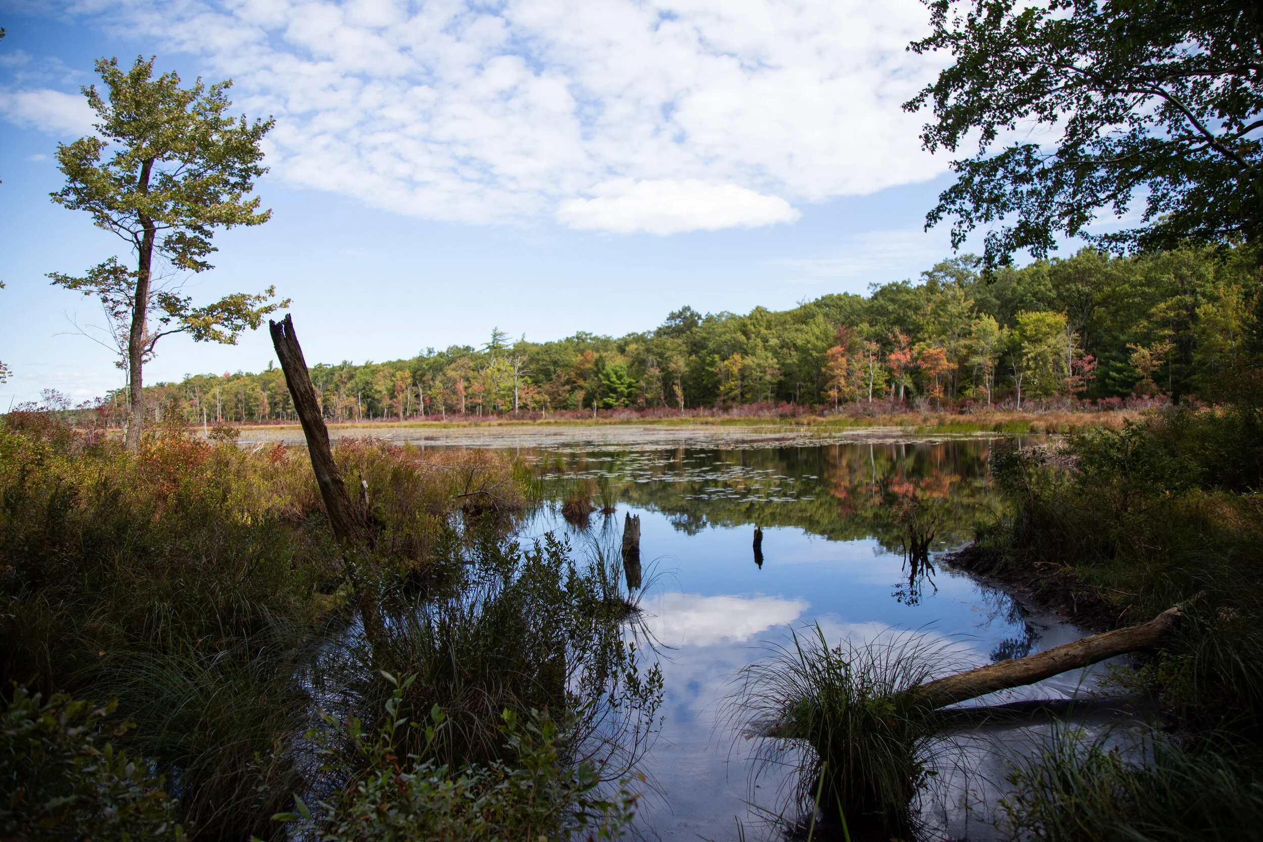
Today we revisited one of my favorite nature preserves in Pennsylvania, Mariton Wildlife Sanctuary. I got to know this place very well in the few years I lived in Pennsylvania. It was my quiet place and a place to ground myself and connect with nature and the local land. I was still quite foreign to the East Coast landscape when I moved from Los Angeles, but I learned so much from Mariton.
I visited regularly through all seasons. It was where I learned the rhythm of seasonal change; the East Coast wildflowers, trees, and local plants. I learned the local birds, and the ones that migrated through in spring and September. I experienced the heavy, humid air of summer, falling rain, and the rolling sound of thunder just before a storm. In the fall, I witnessed the vibrant colors of autumn and felt the sadness of saying goodbye to the trees as they prepared for winter slumber. I felt the stillness and peaceful silence of a soft snowfall on the forest floor. I felt the damp bone-chilling cold of a gray winter day. But there was always the promise of rebirth in spring, and that’s what I experienced today, on this beautiful morning, walking in the sunshine that warmed my skin.
As I began my walk along the main trail, I first noticed a small red squirrel running up a tree. I spotted bluebells, some of the first flowers of spring and passed the trillium in the same spot I remembered, though they hadn’t yet flowered. As I continued down the path, I noticed Dutchman’s breeches and the abundant mayapples that return each year along the woodland trails. There were buds on the spicebush and the tall, stately rhododendrons.
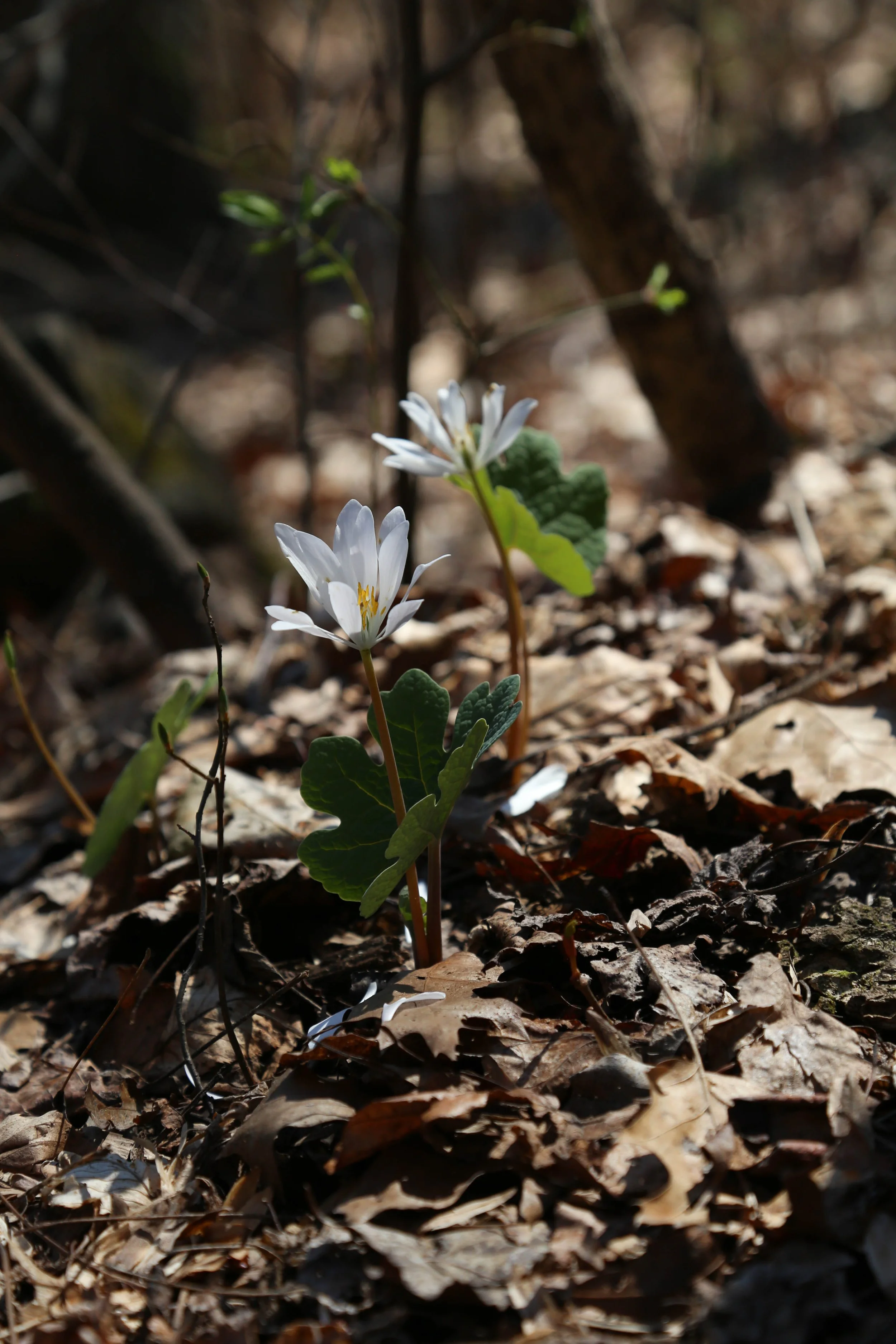
I walked to the bench just before the descent to Chimney Rock and sat for a while, reflecting. When I was ready to move on, I noticed a patch of bloodroot. Ferns were unfurling their fiddleheads, preparing to become elegant leaves. Then I saw one of the first butterflies of spring, likely an azure. Its bright blue wings caught my eye as it perched in the leaf litter, still long enough for me to take a photo.
I saw more wildflowers; rue anemone, blue violet, and periwinkle. I passed turkey tail mushrooms and walked through stands of spruce and white pine. Ahead on the trail, a hermit thrush foraged on the ground. Soon, the wood thrushes and ovenbirds will arrive.
I finished my walk back at the main lot feeling relaxed and satisfied. It felt so nice to reconnect with this beautiful space, the land, and all of its plants, trees, birds, and animals.
Click “Read More” below for more photos from this walk.
Read More