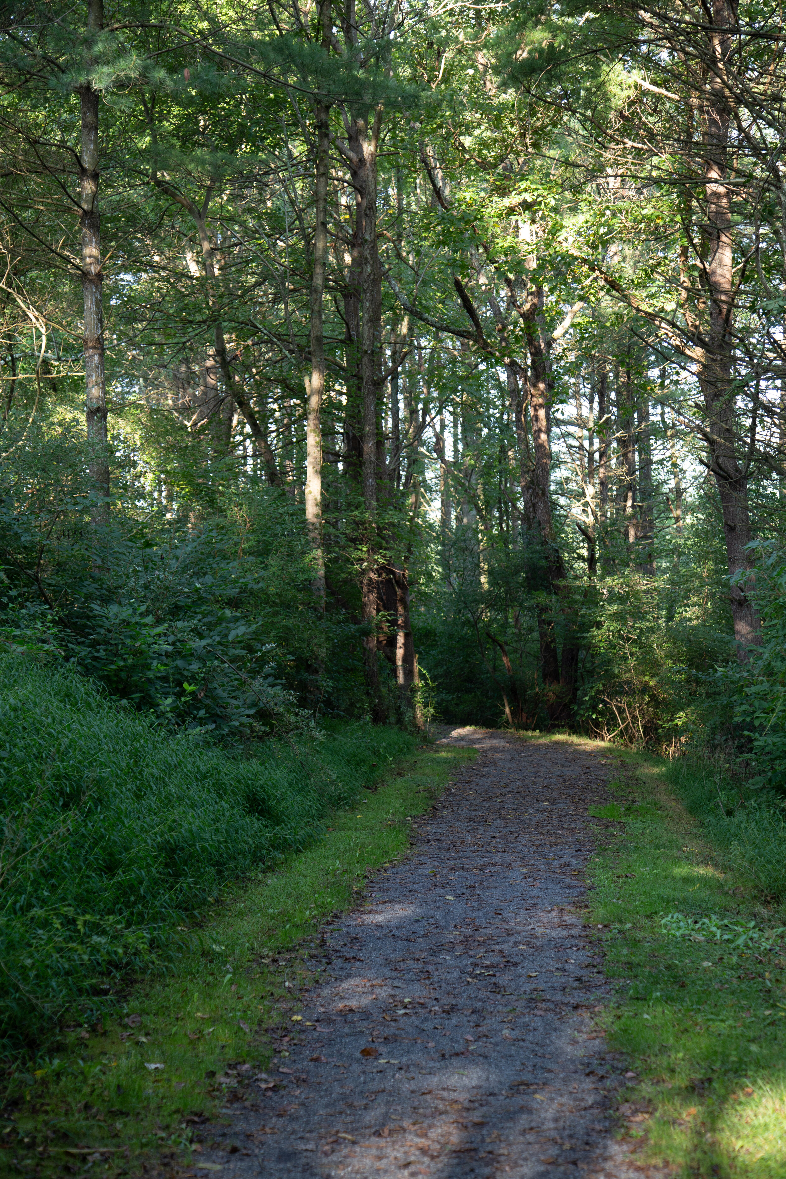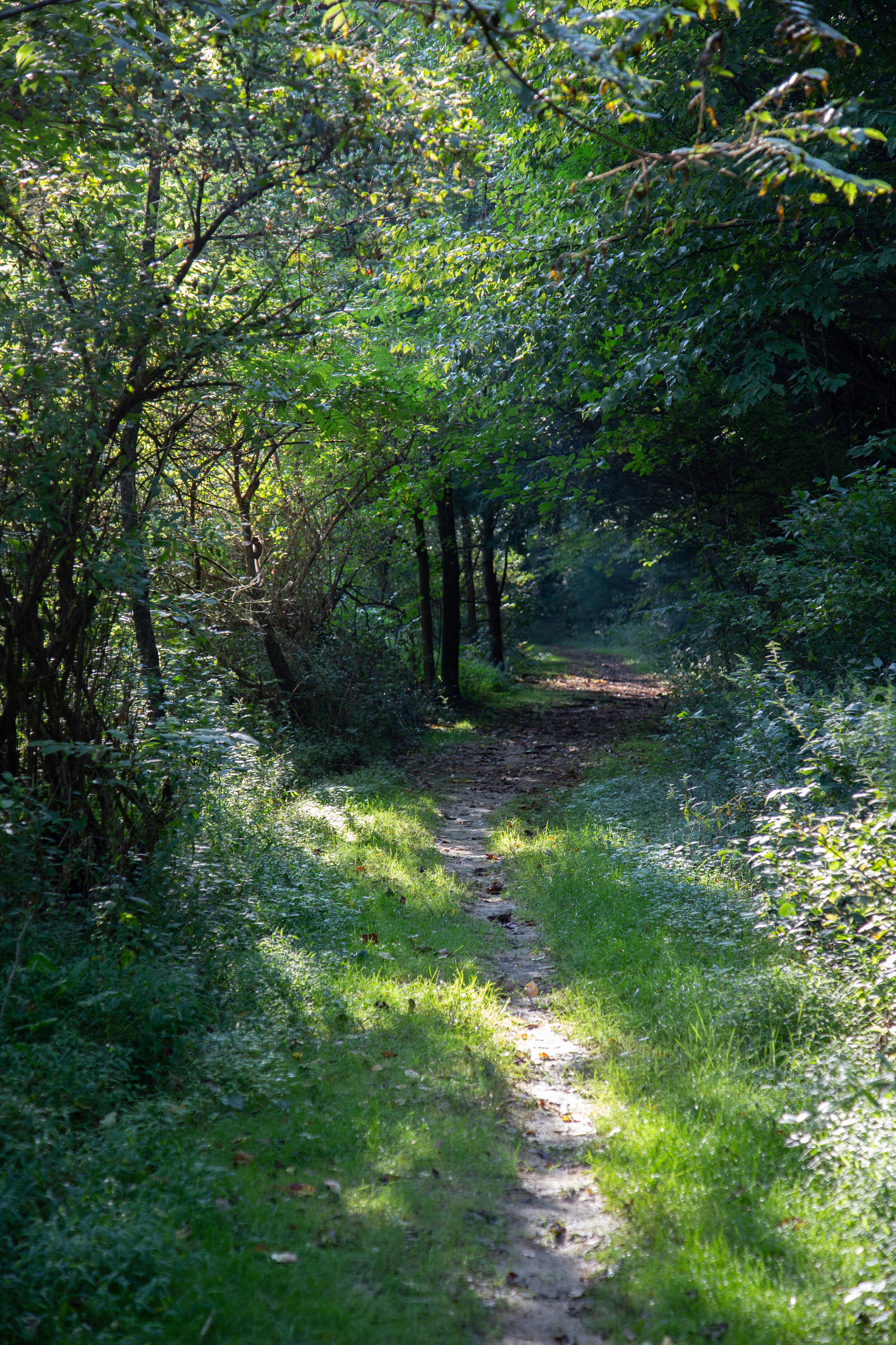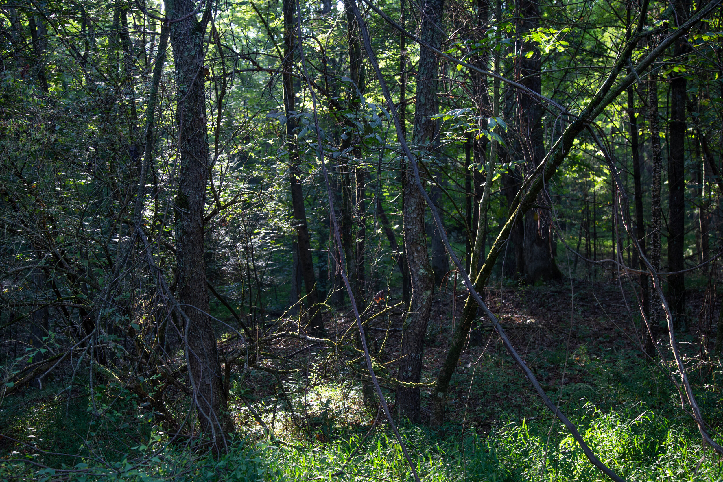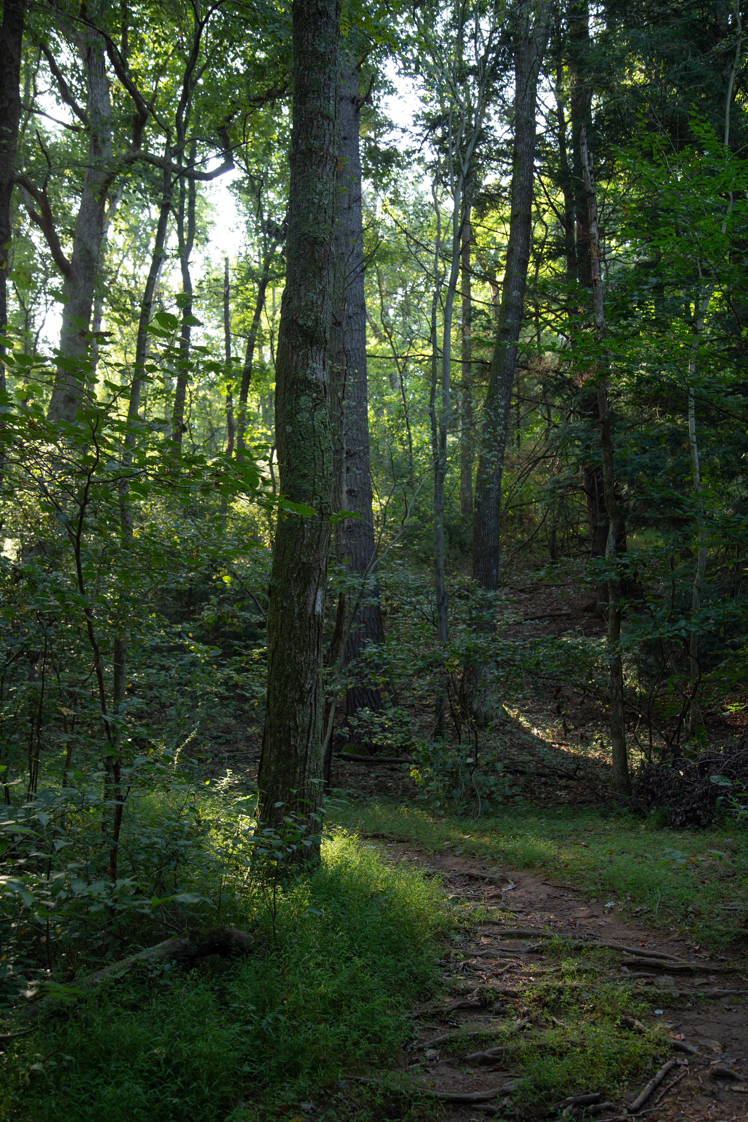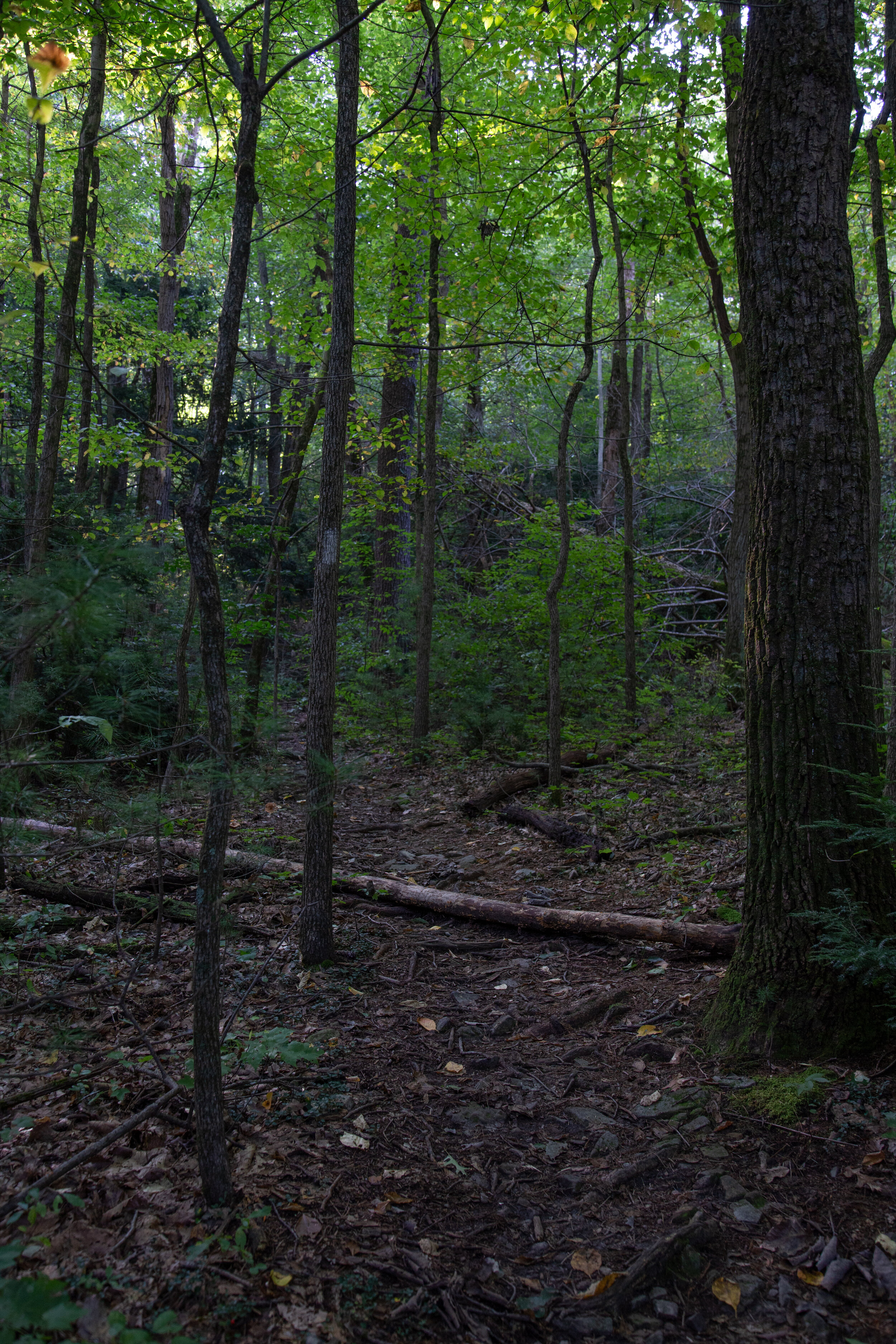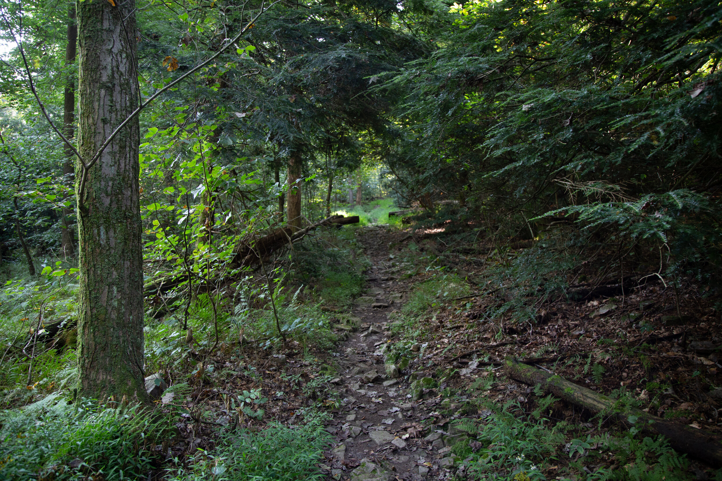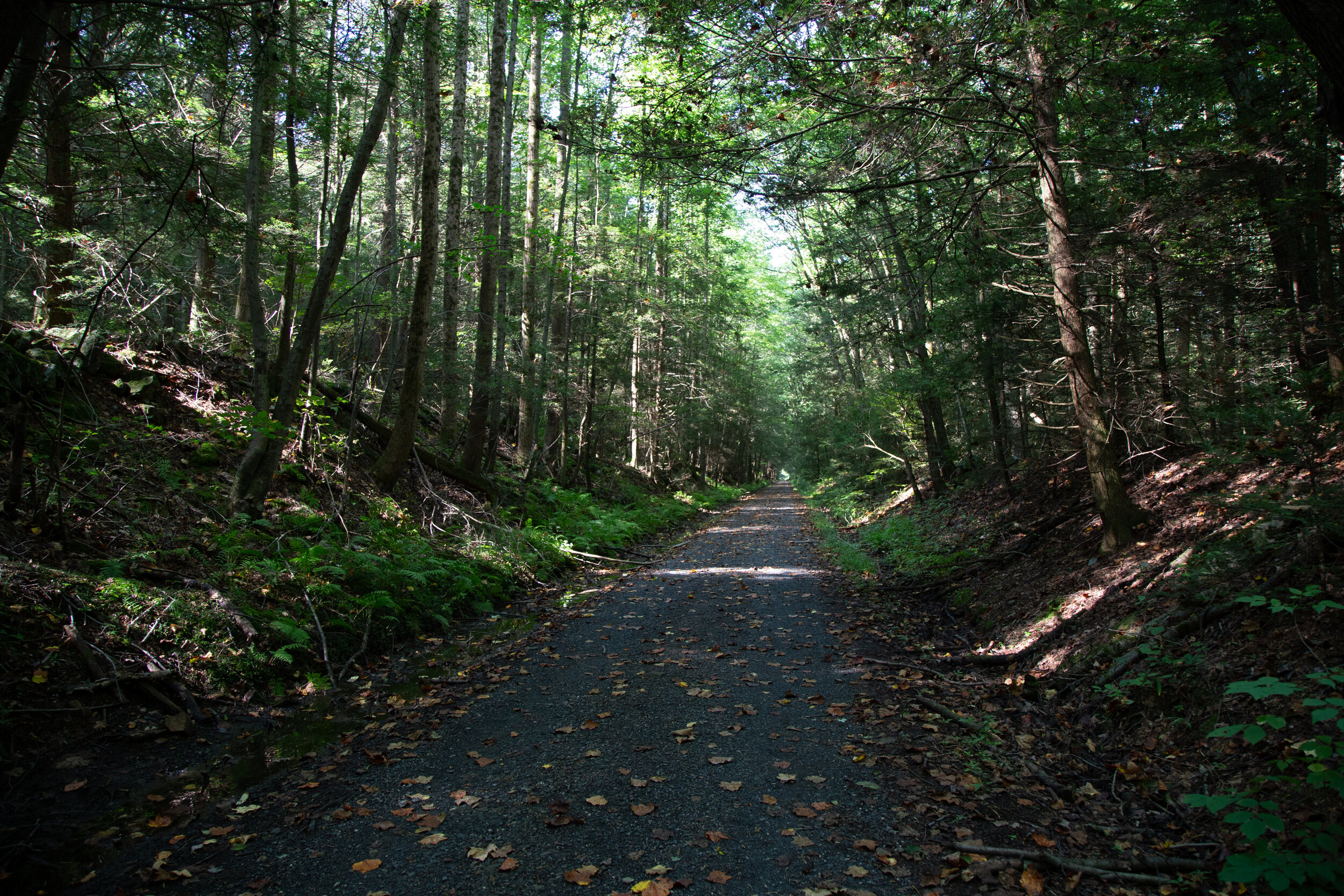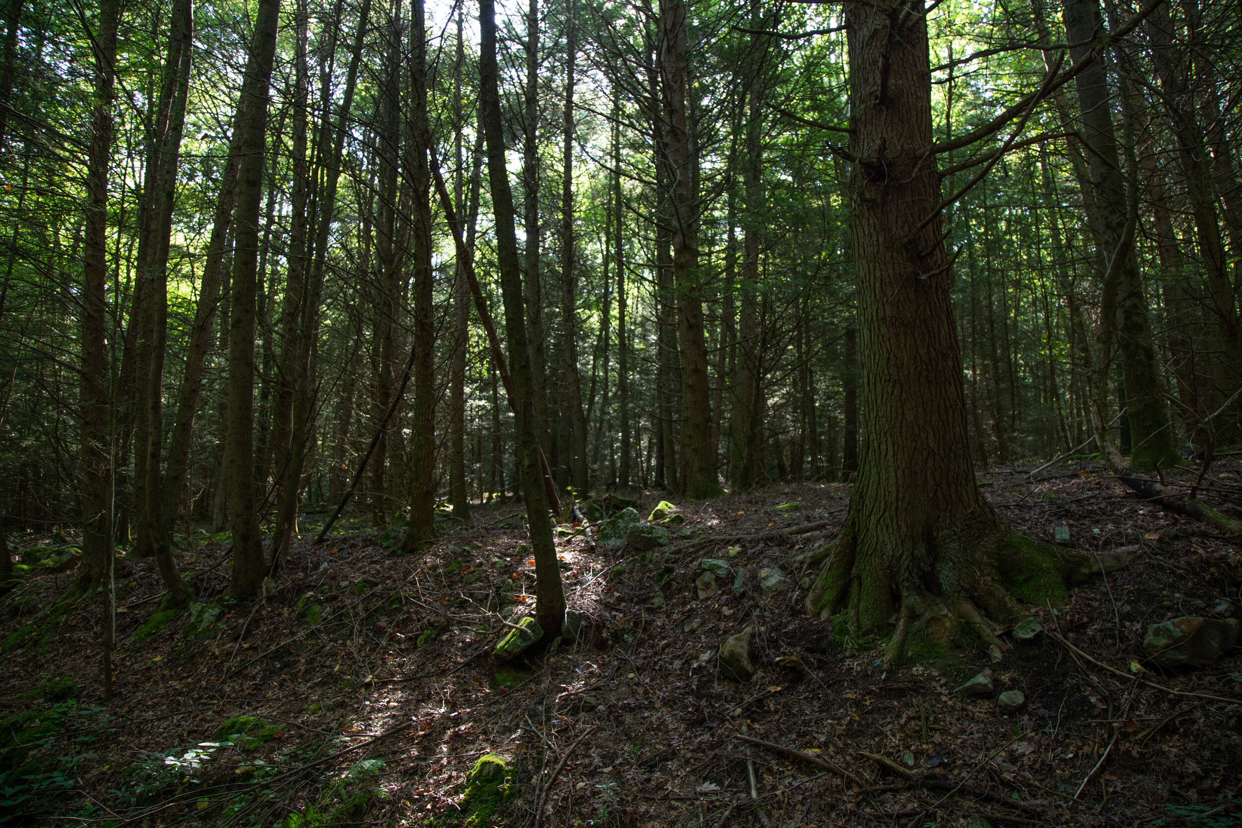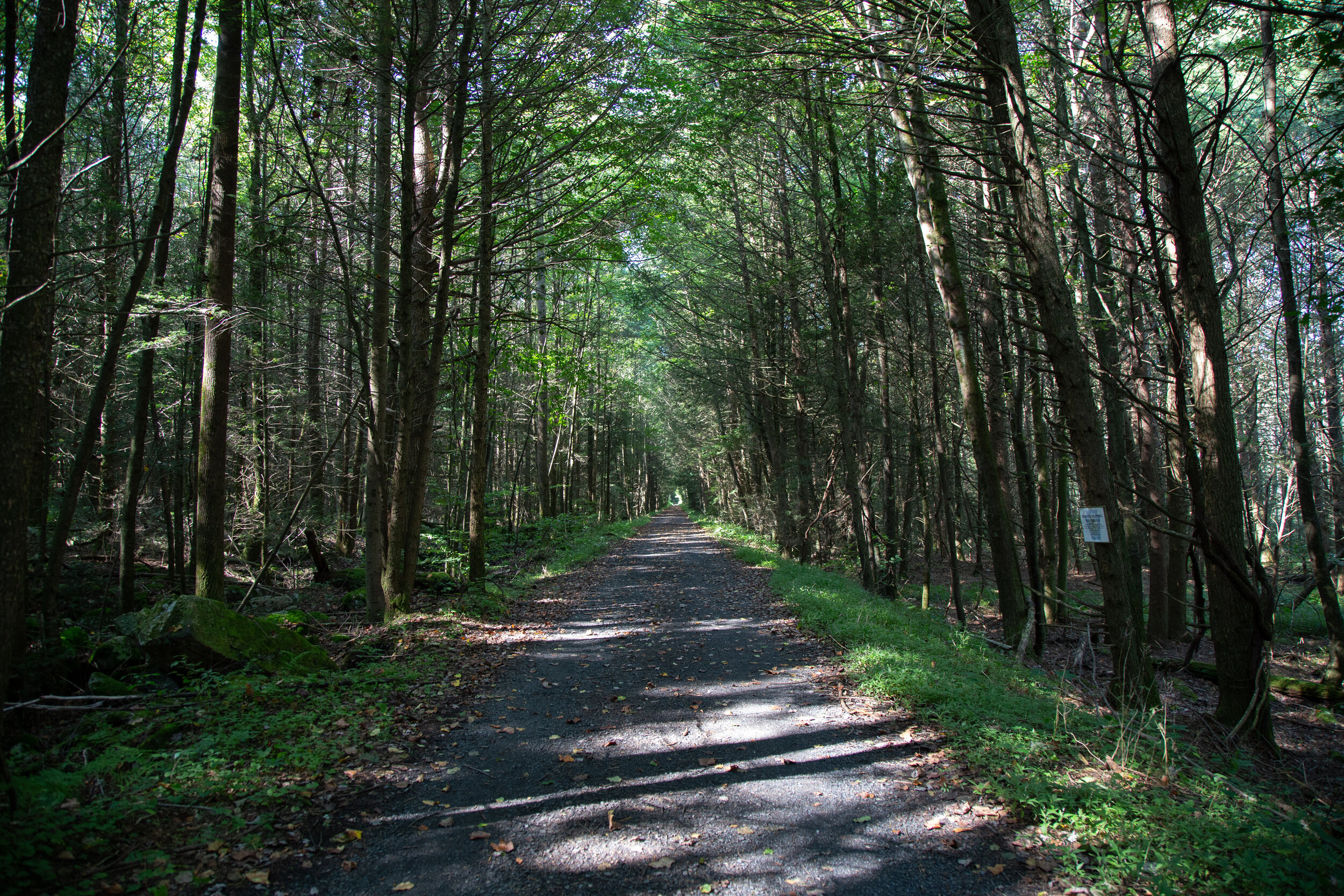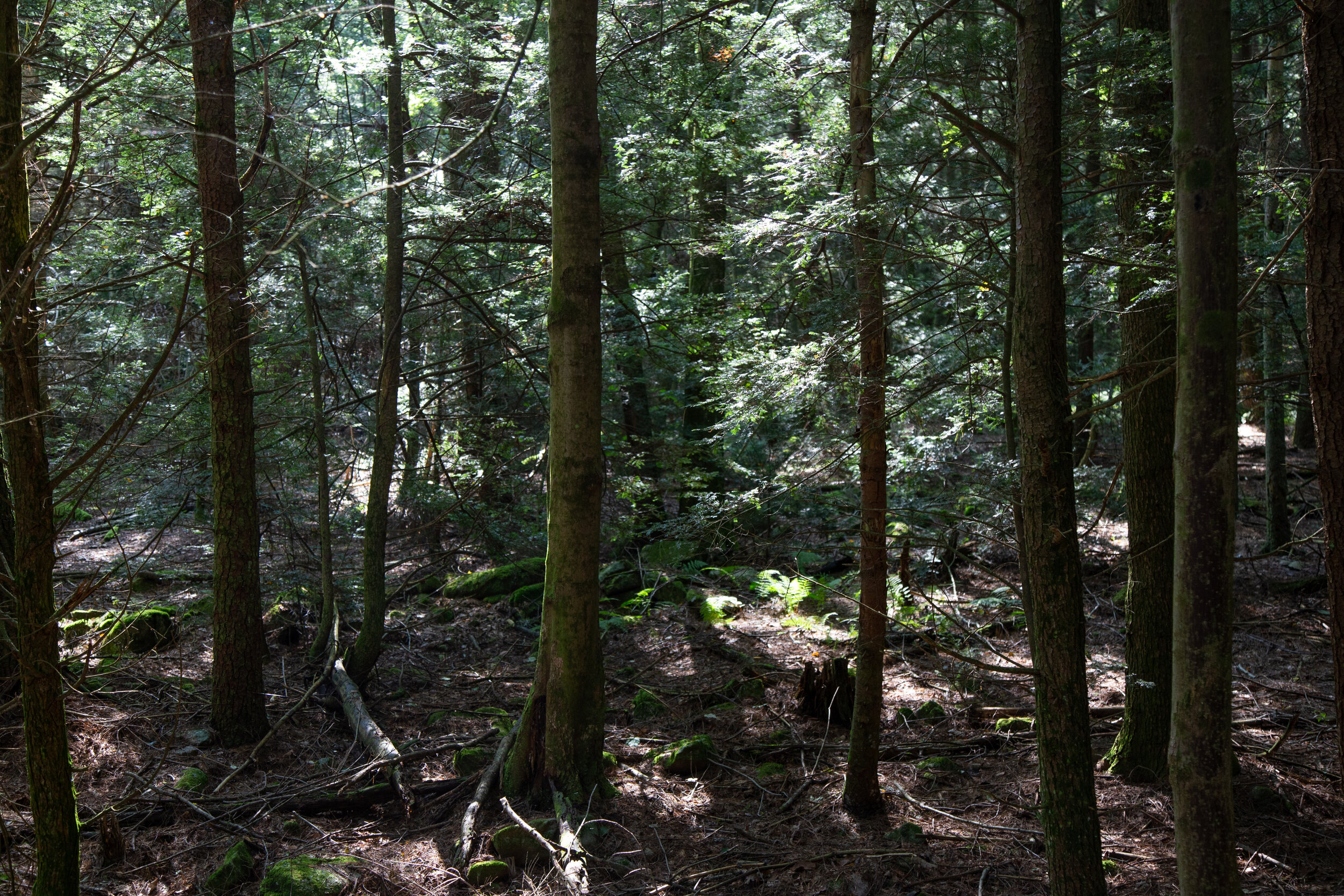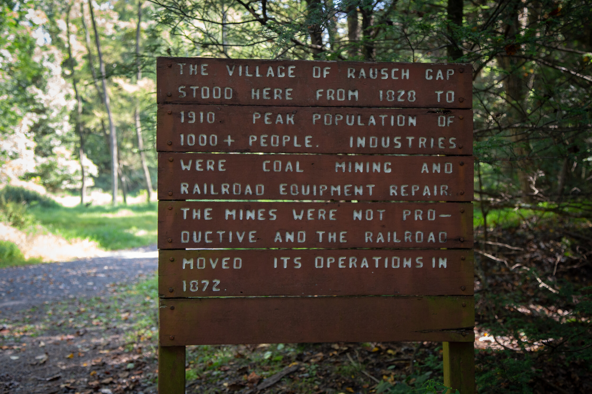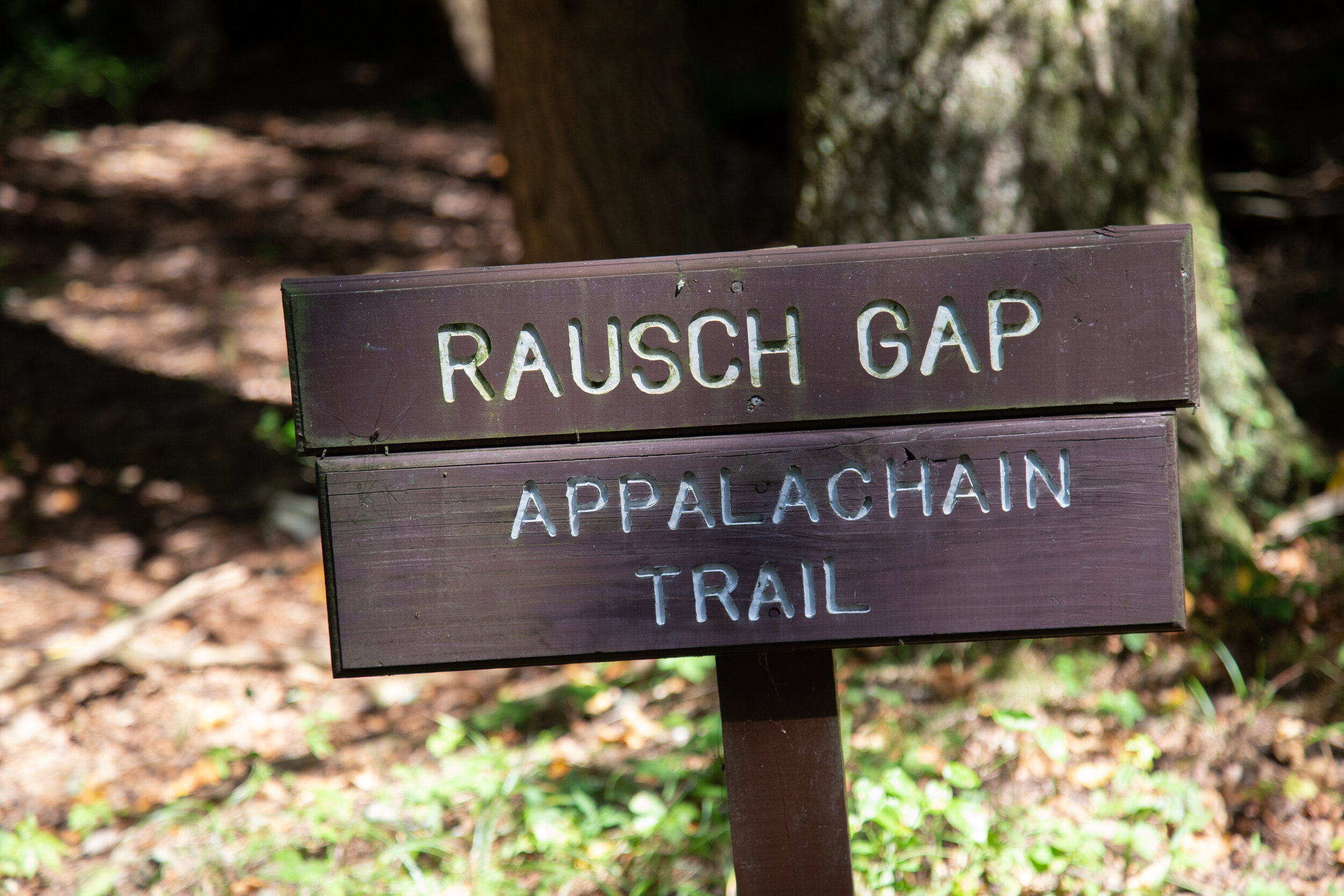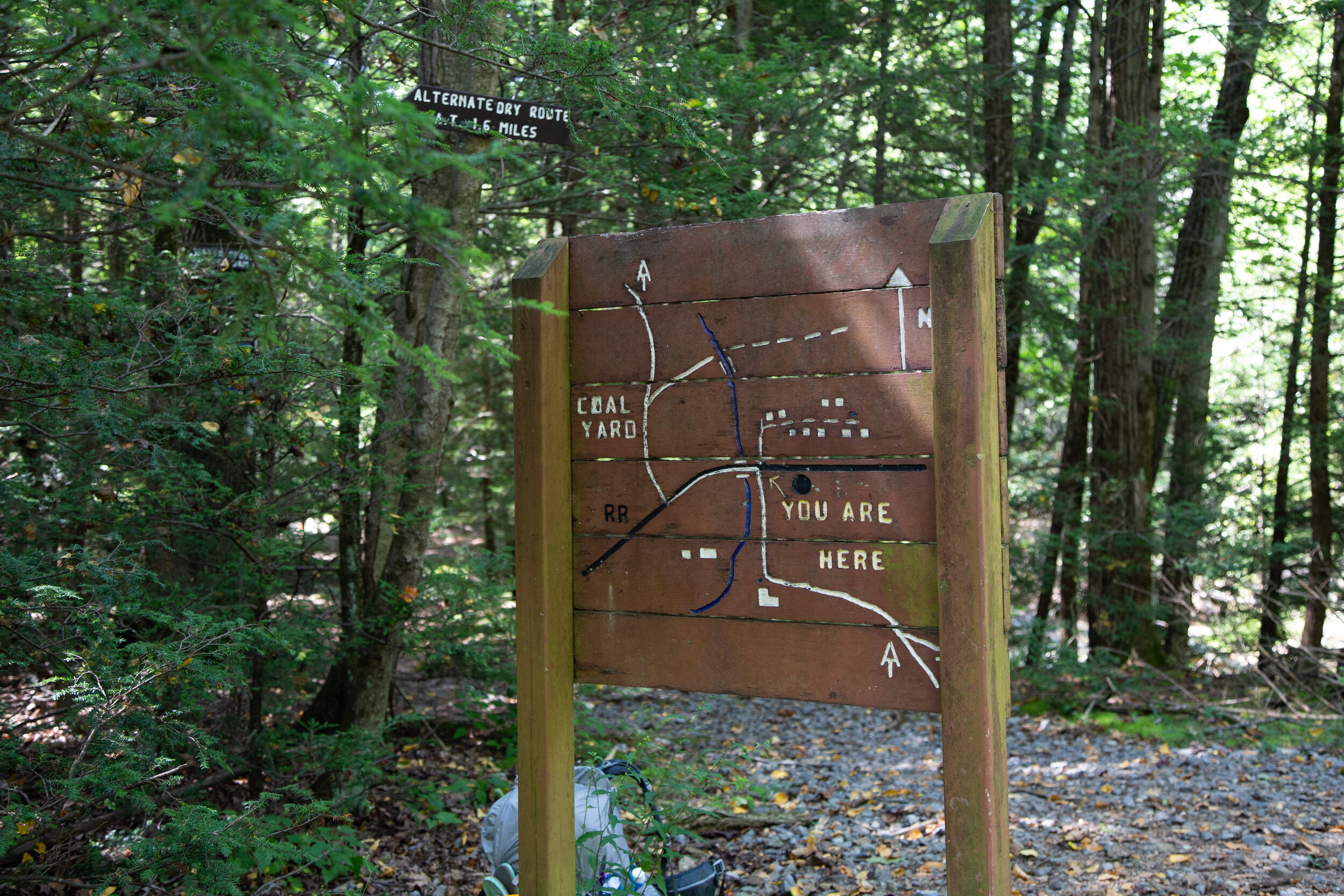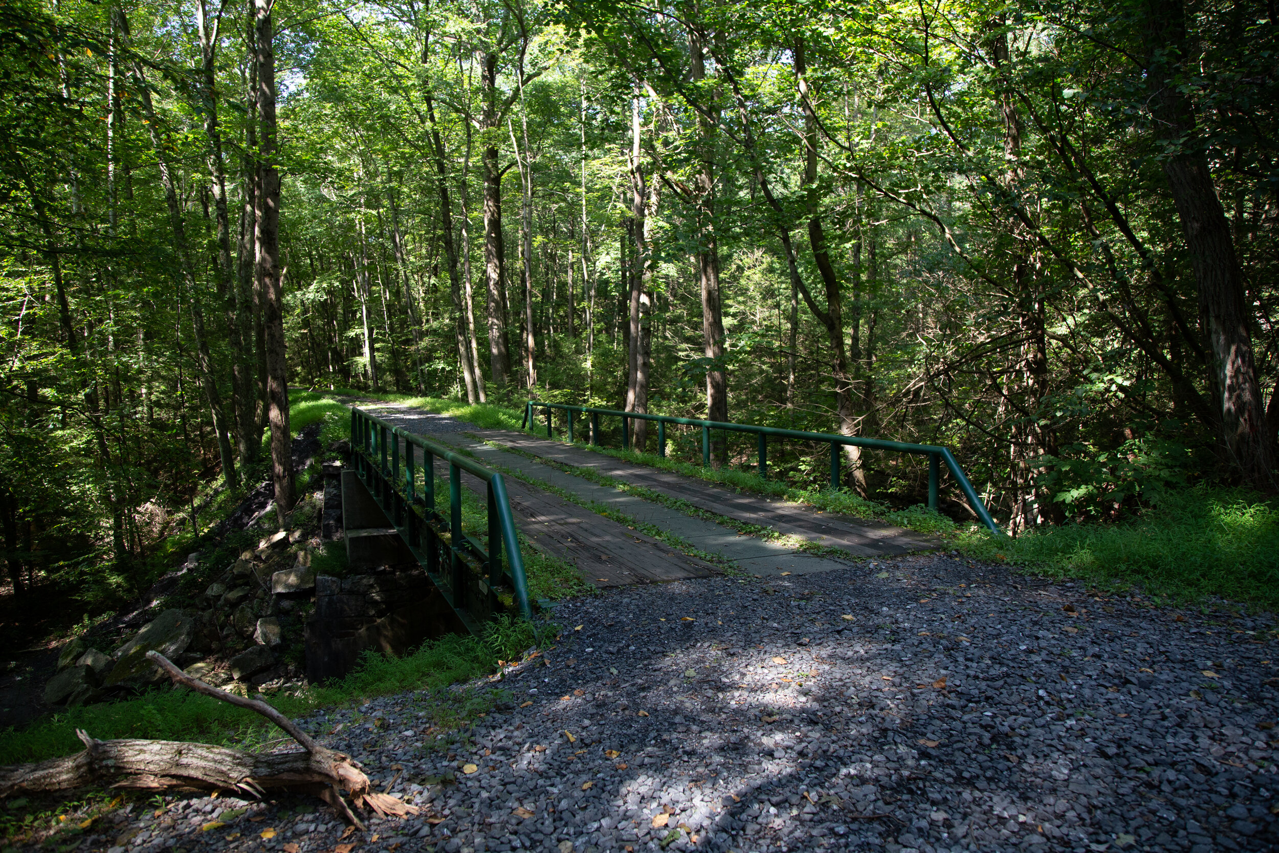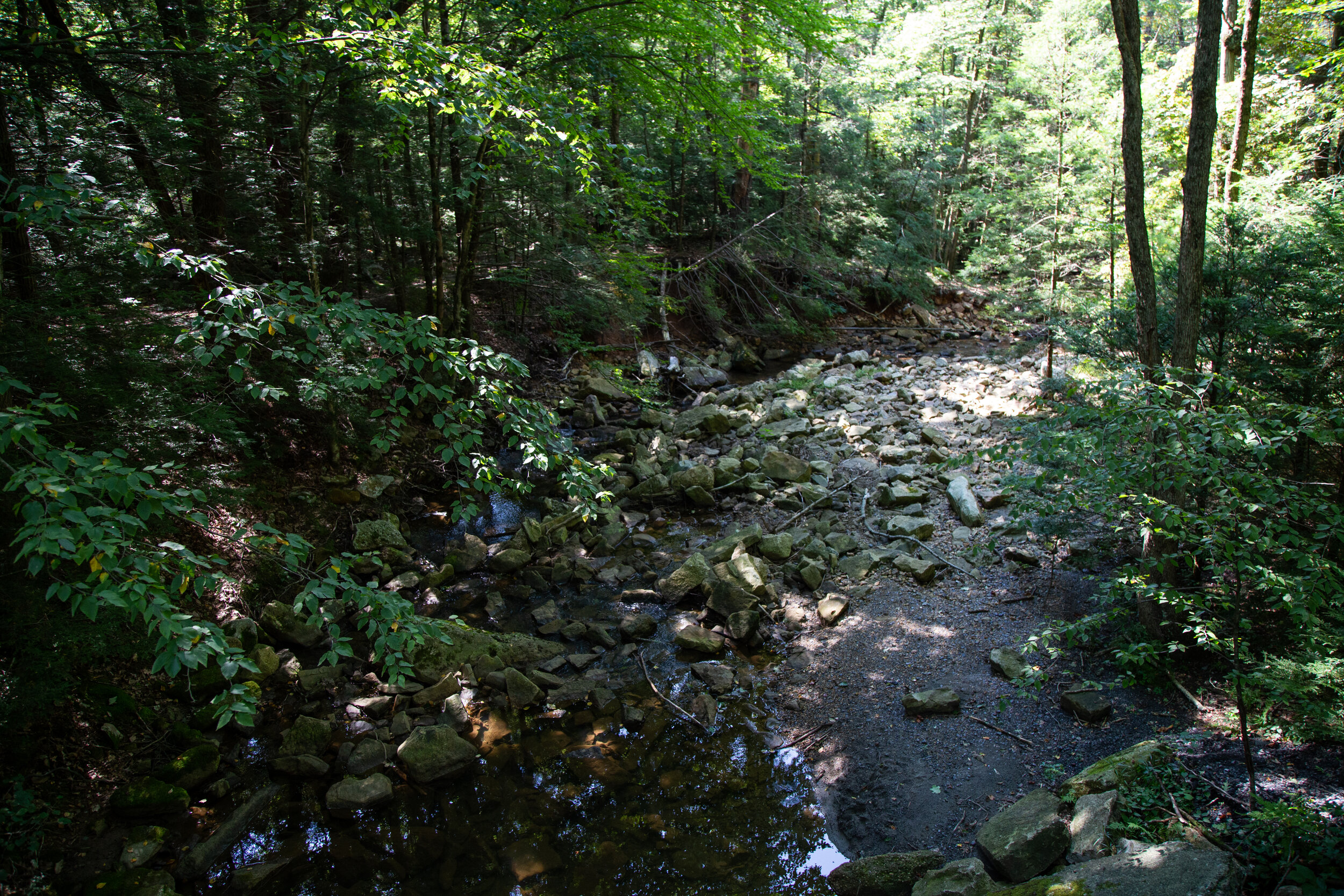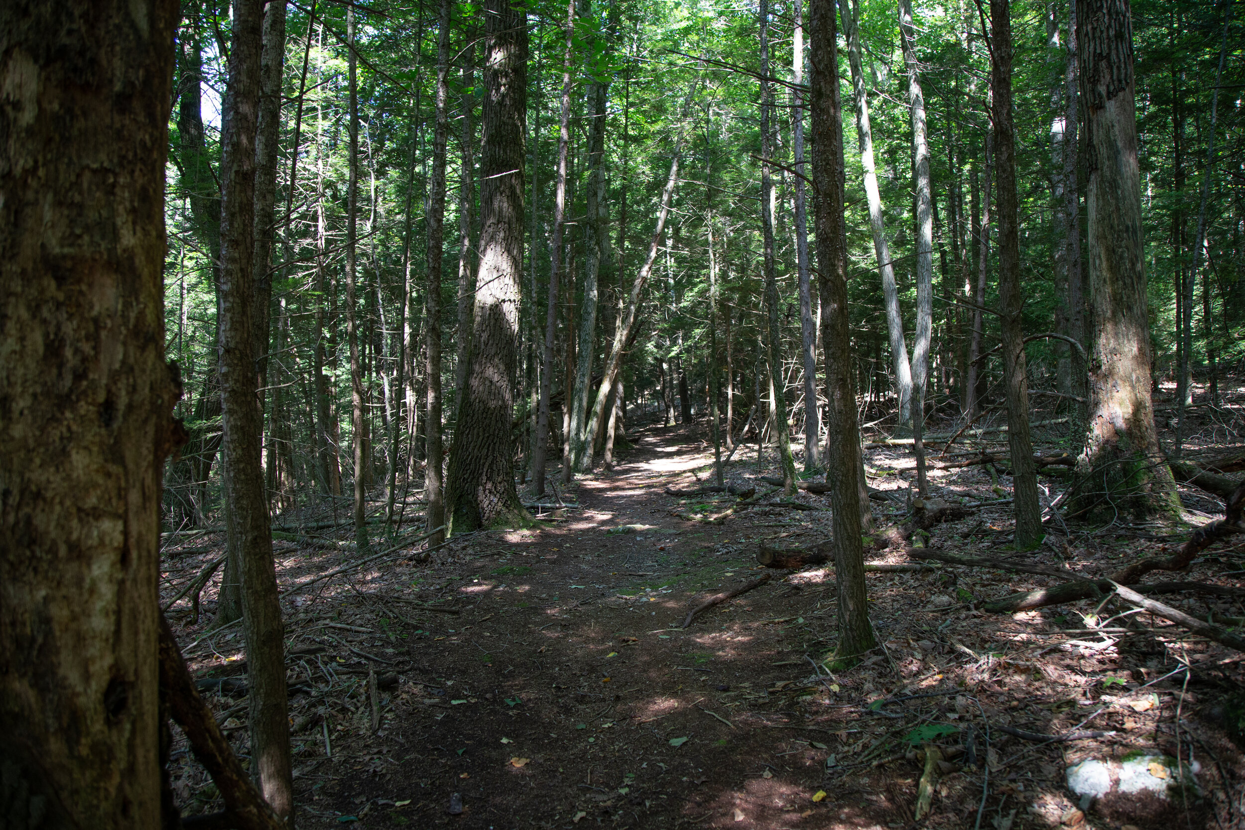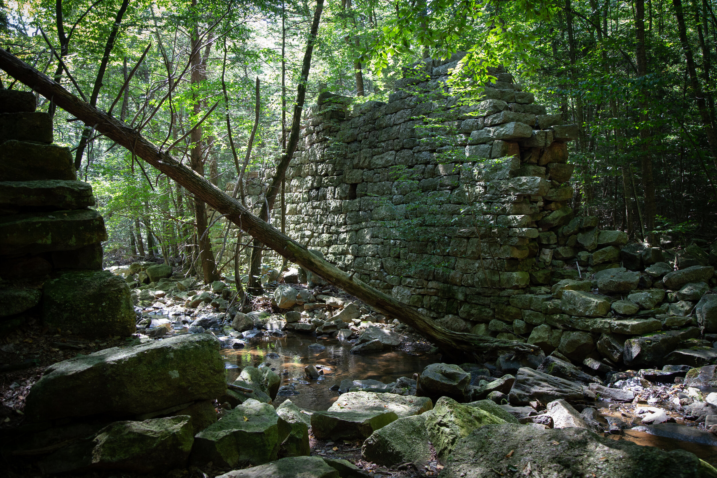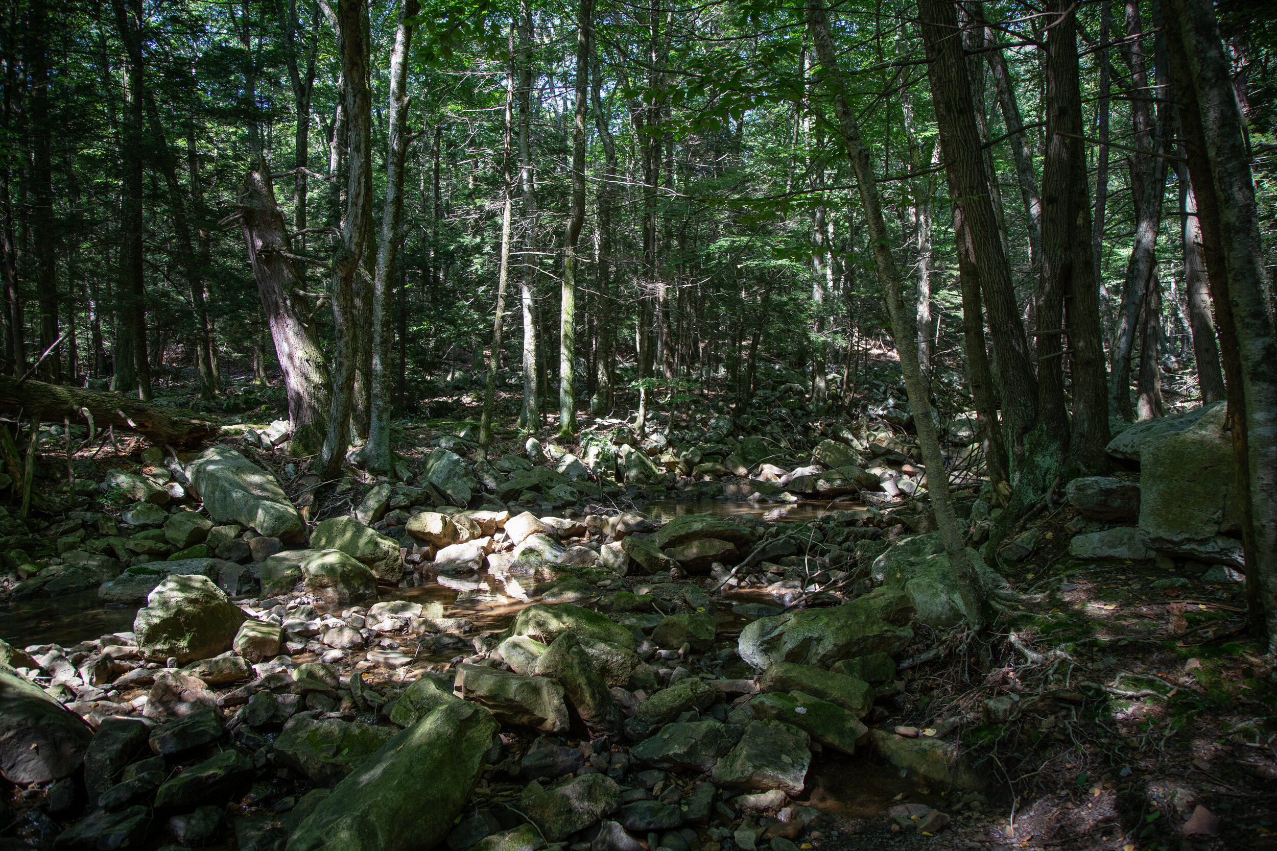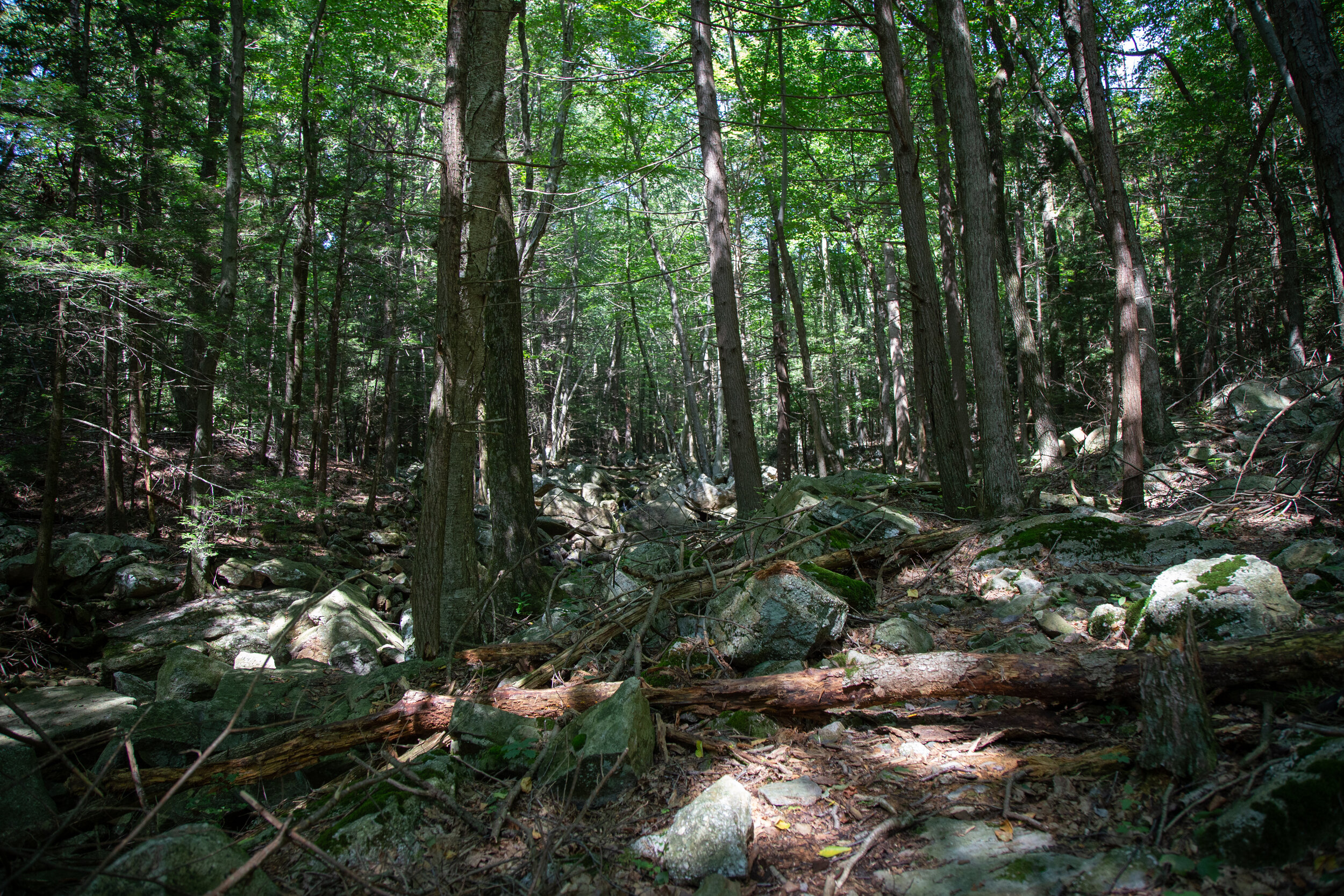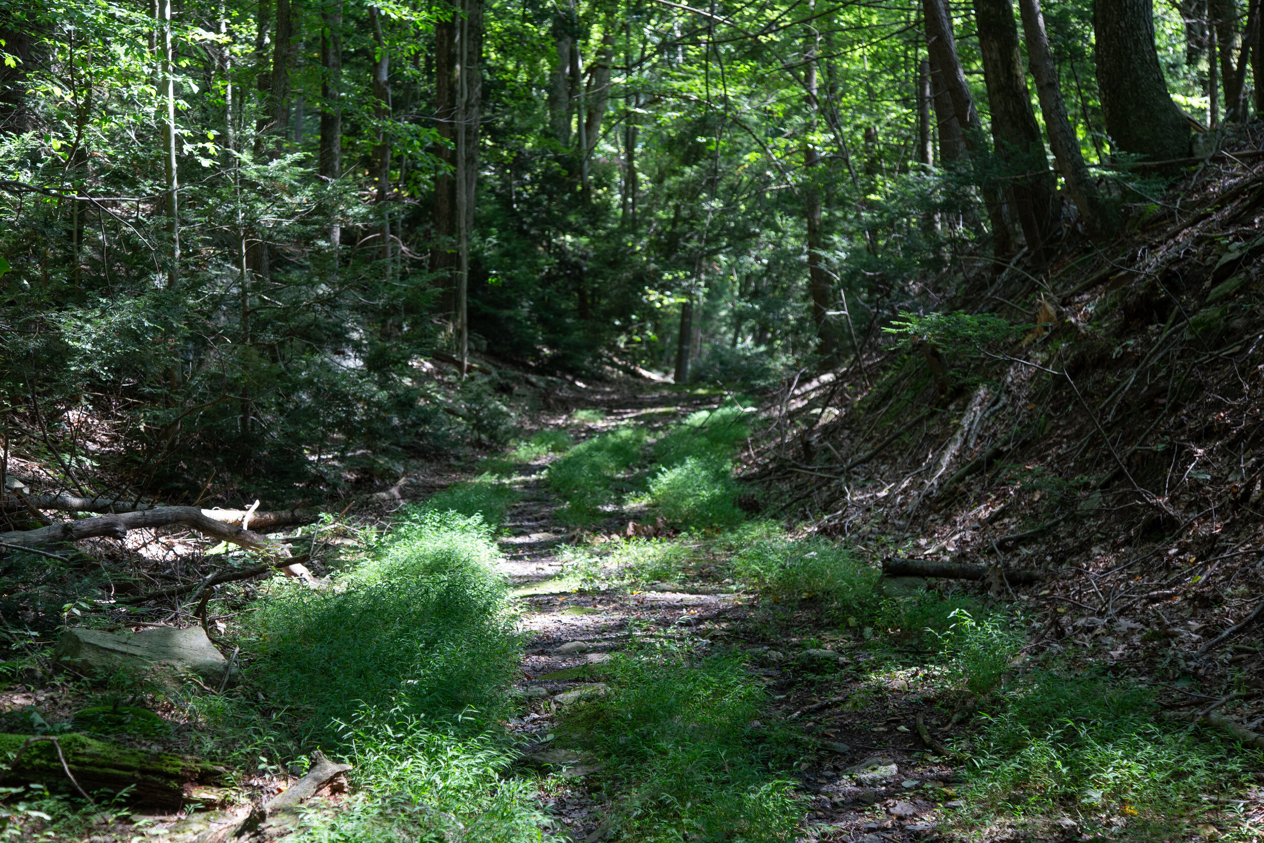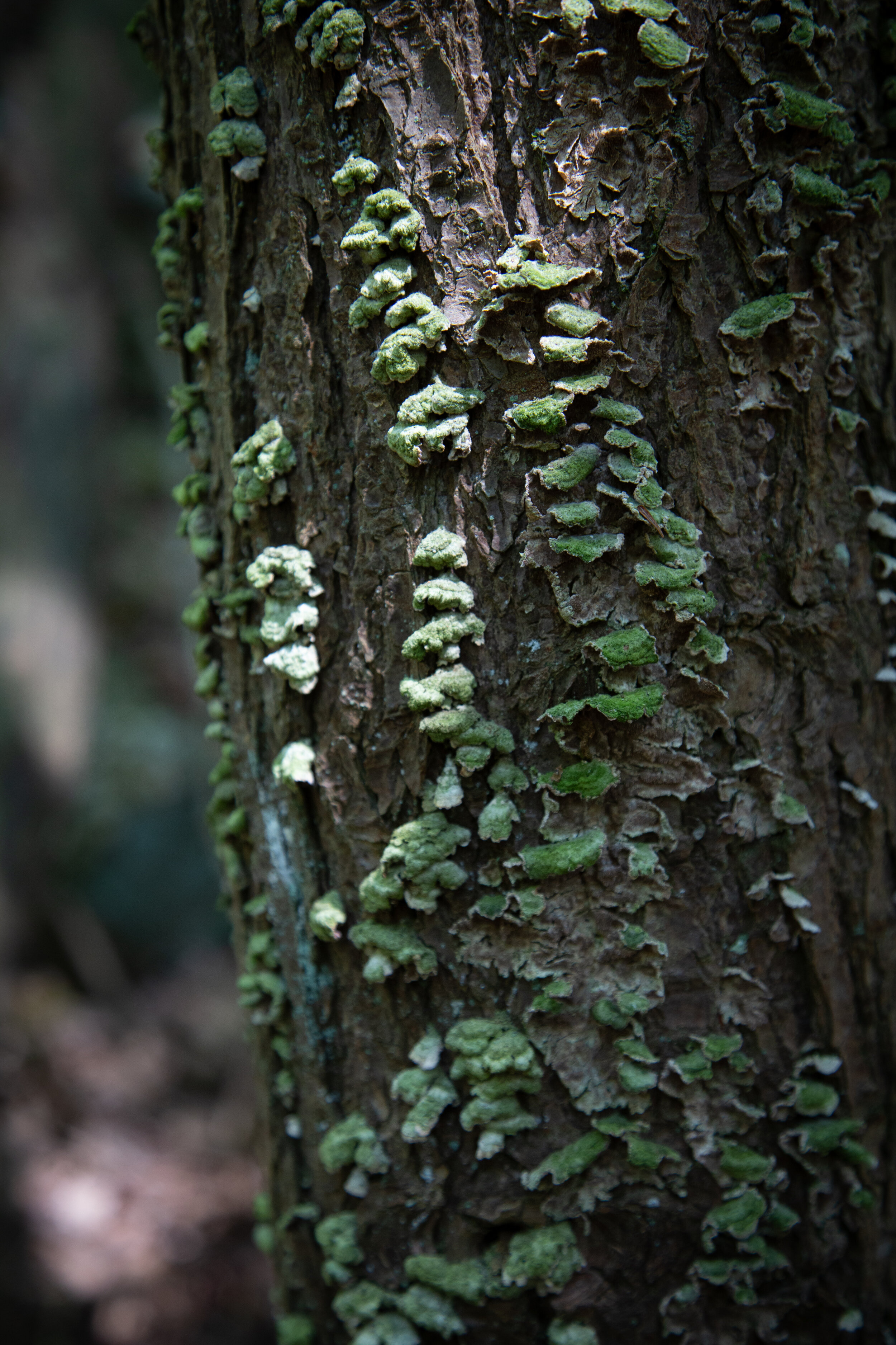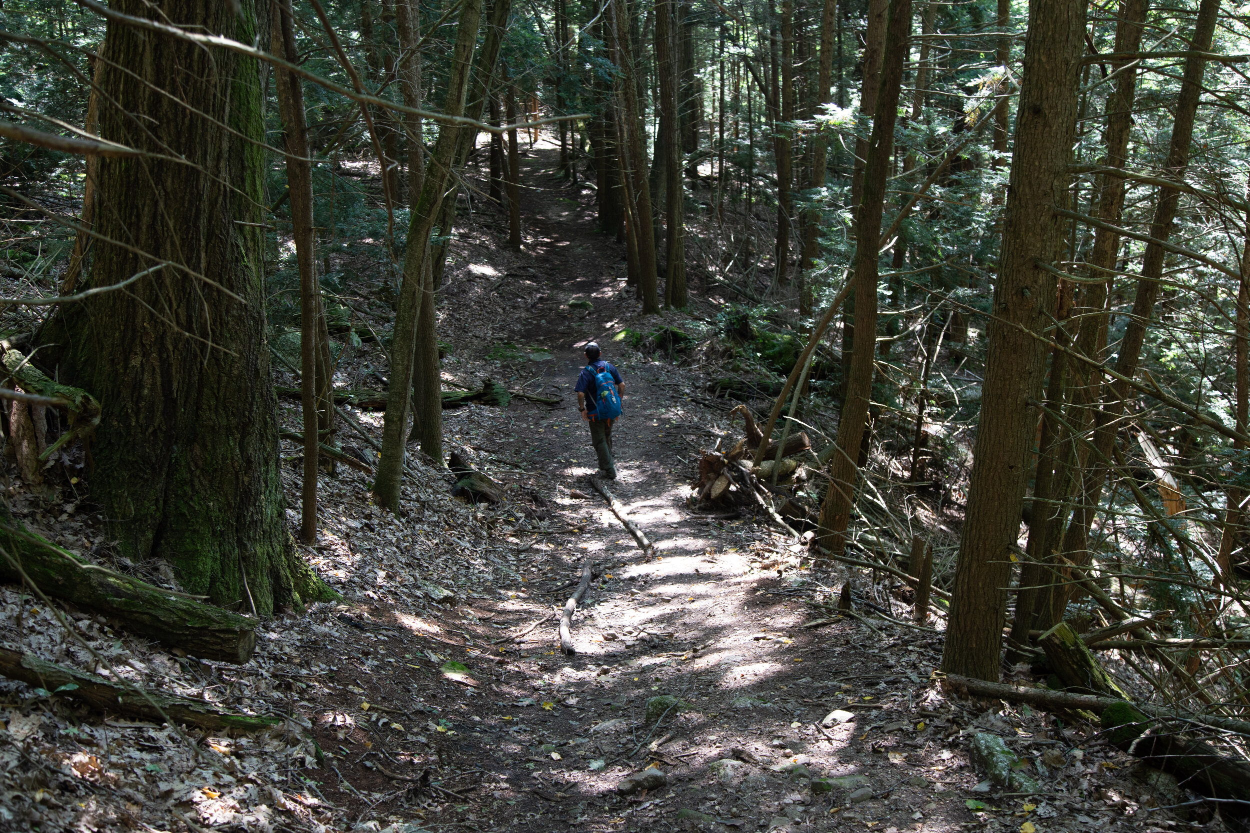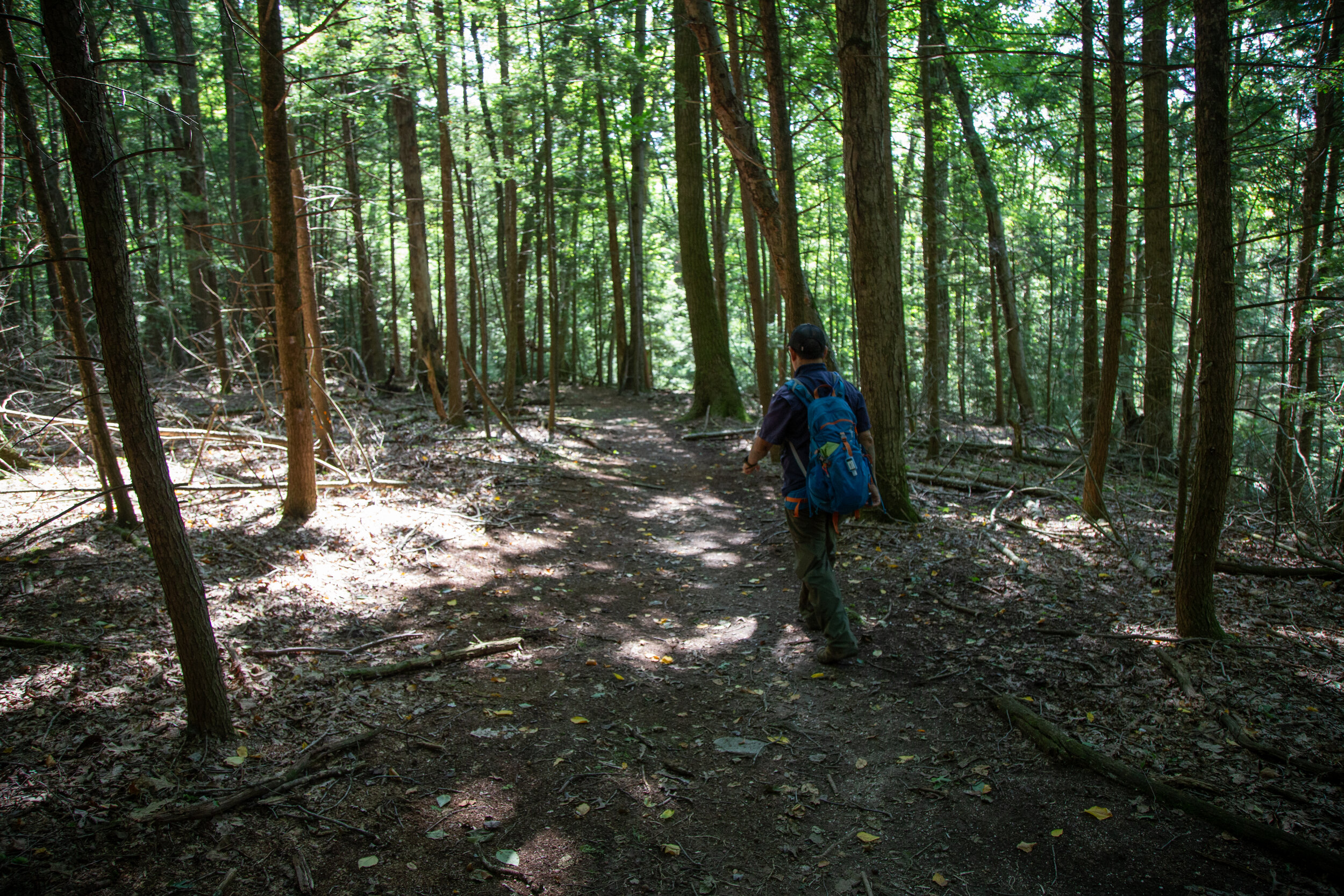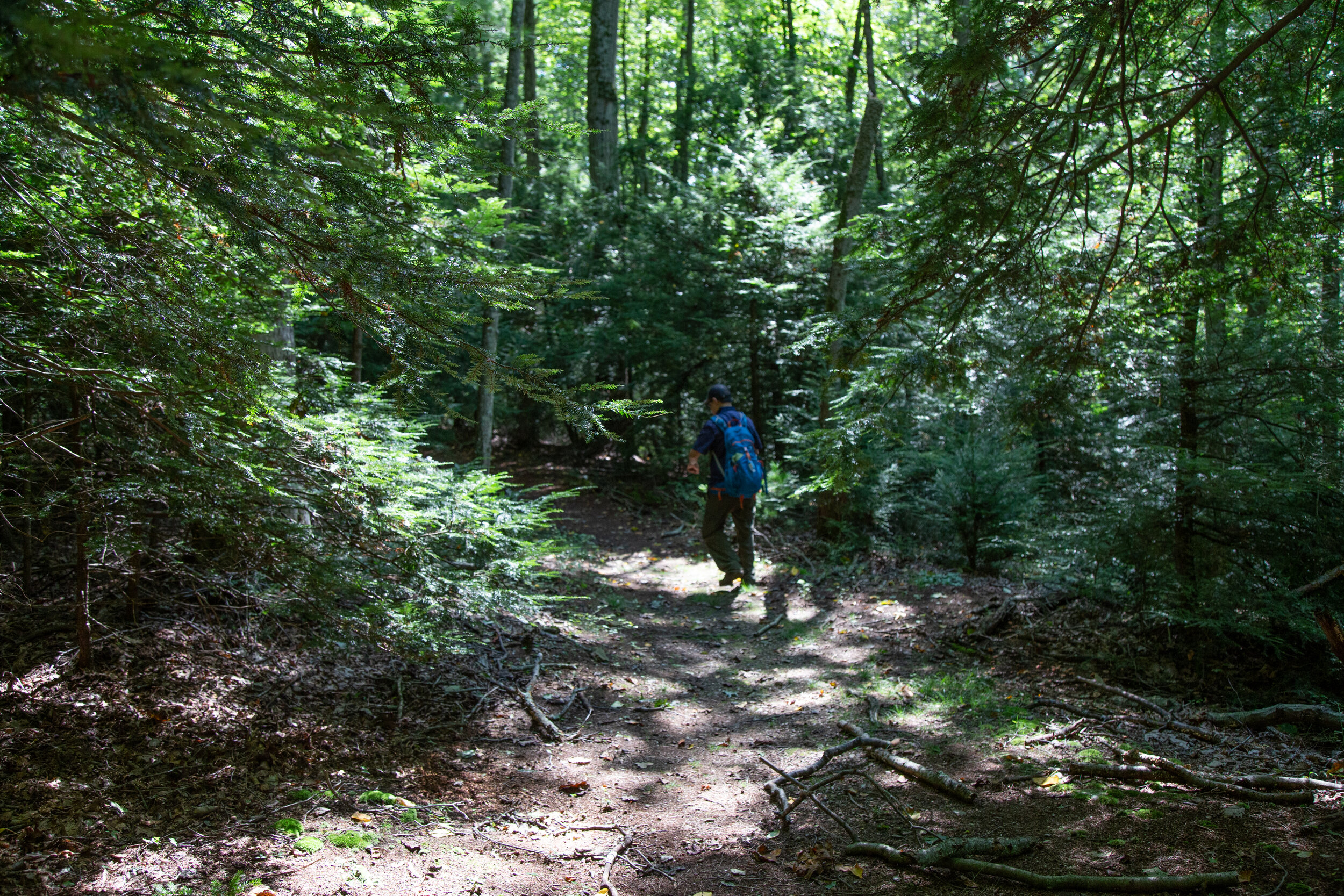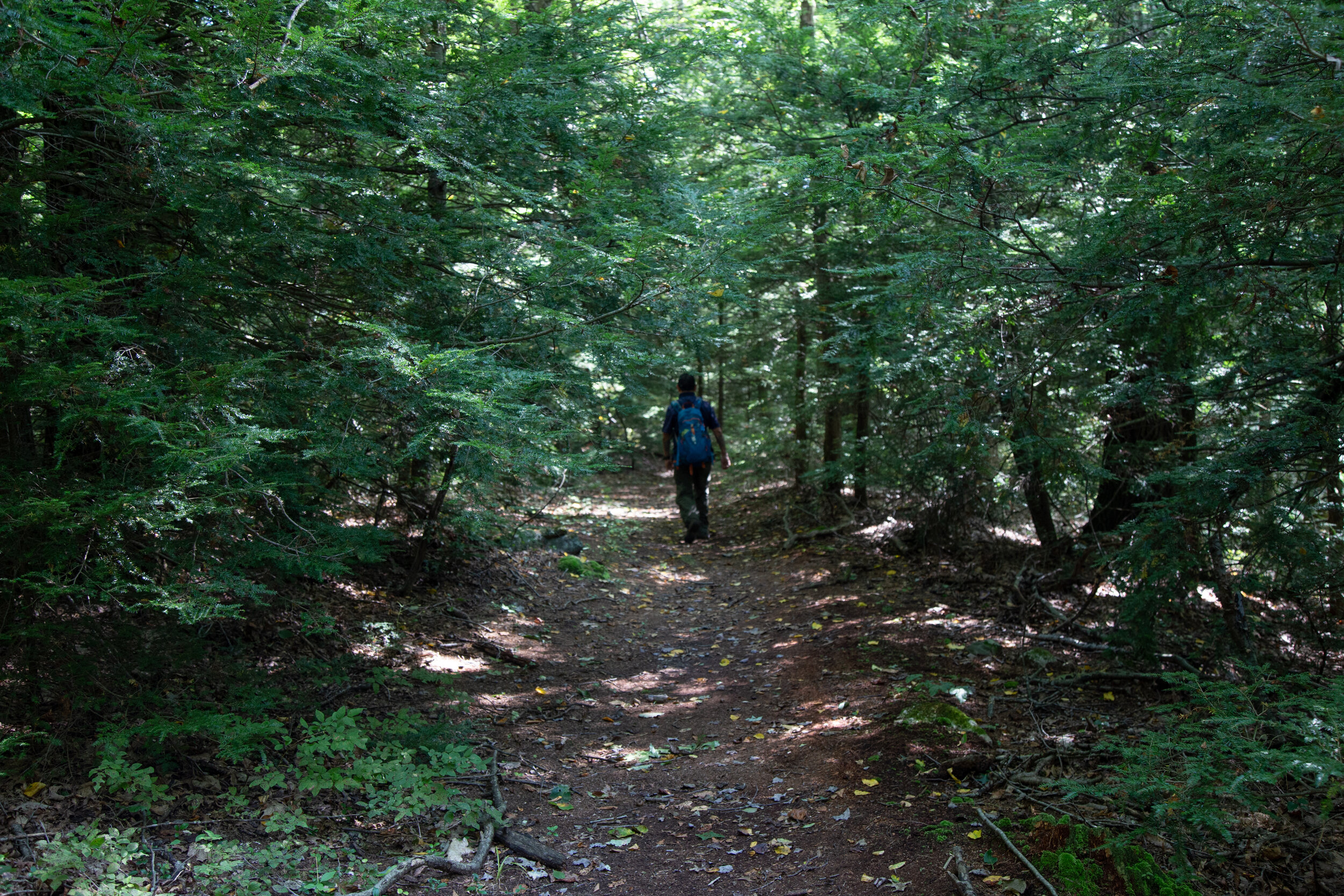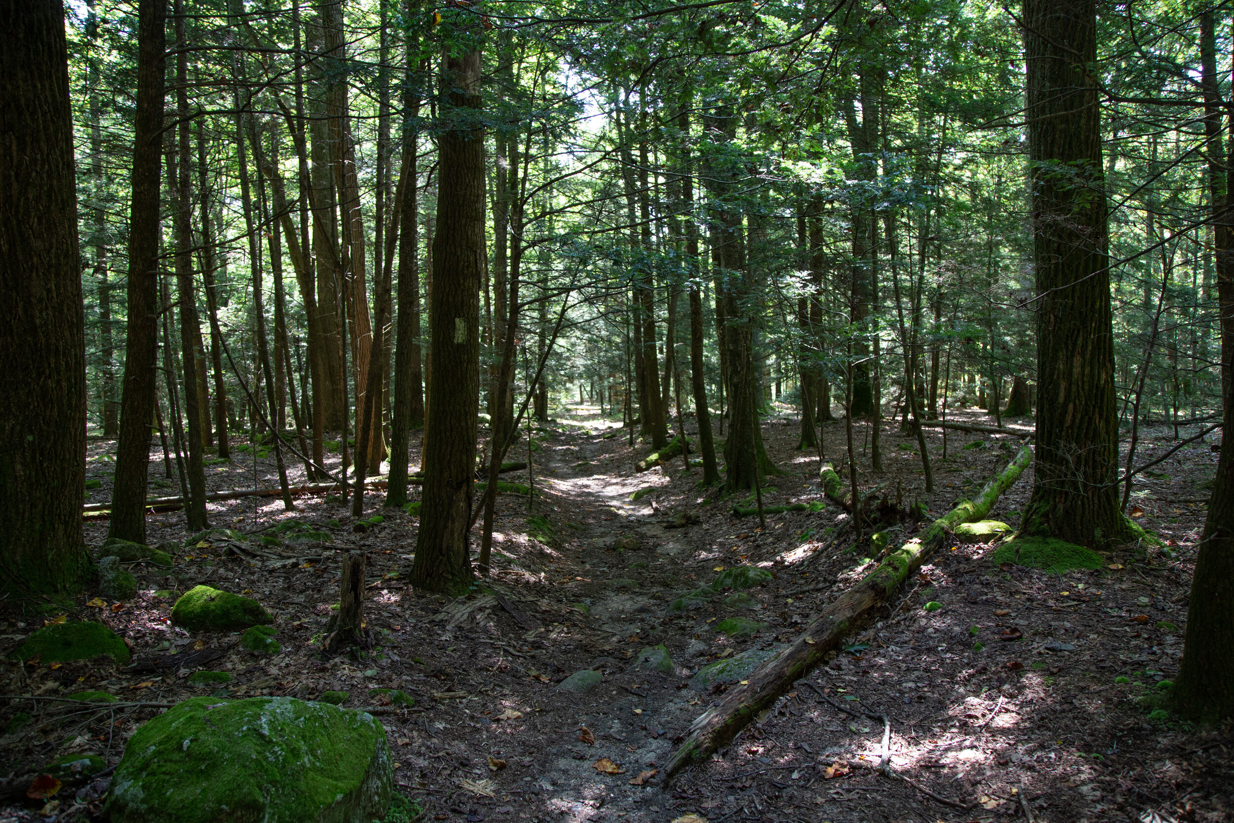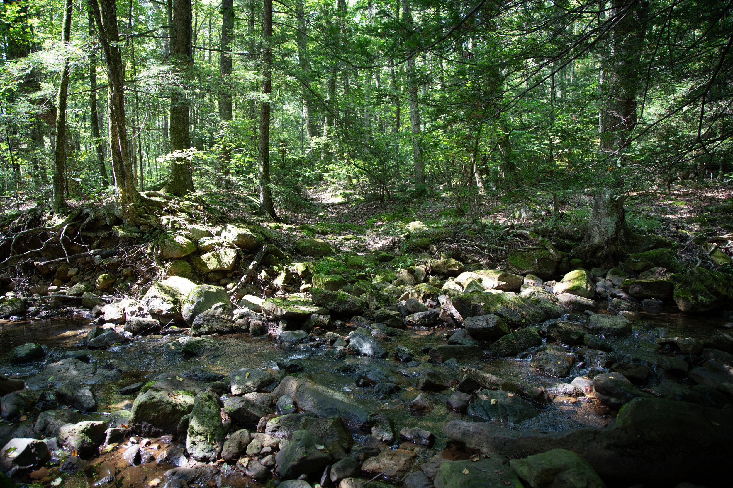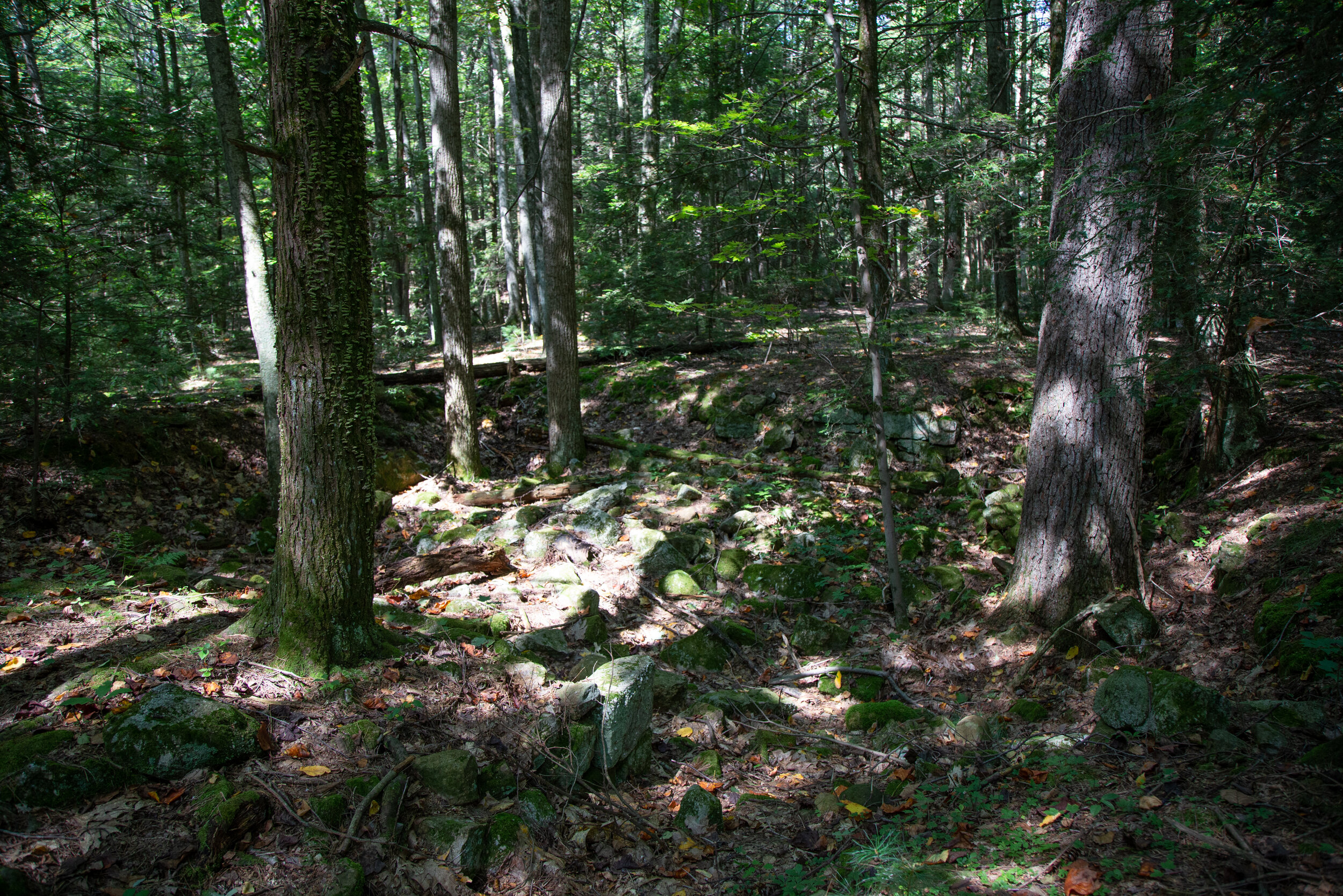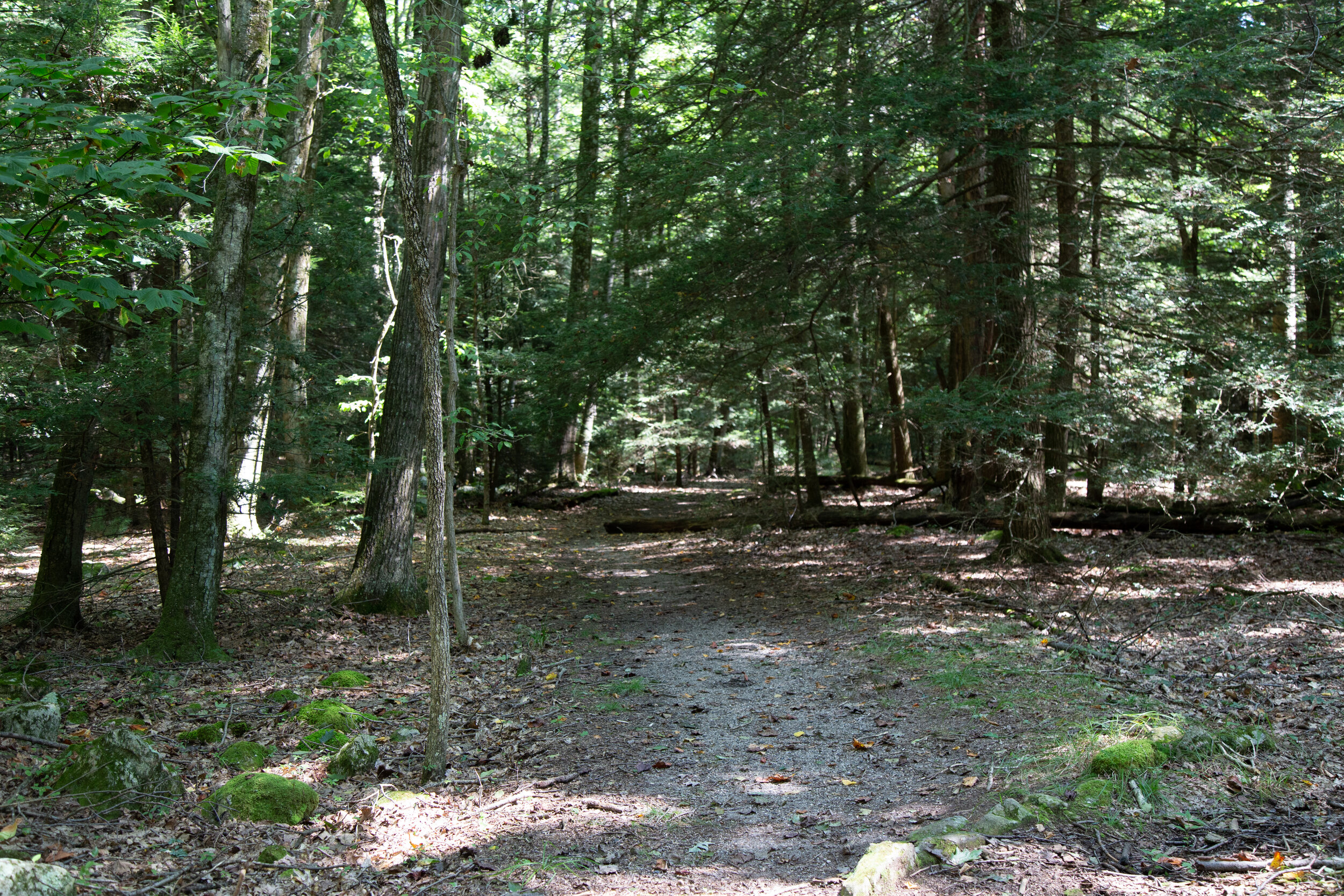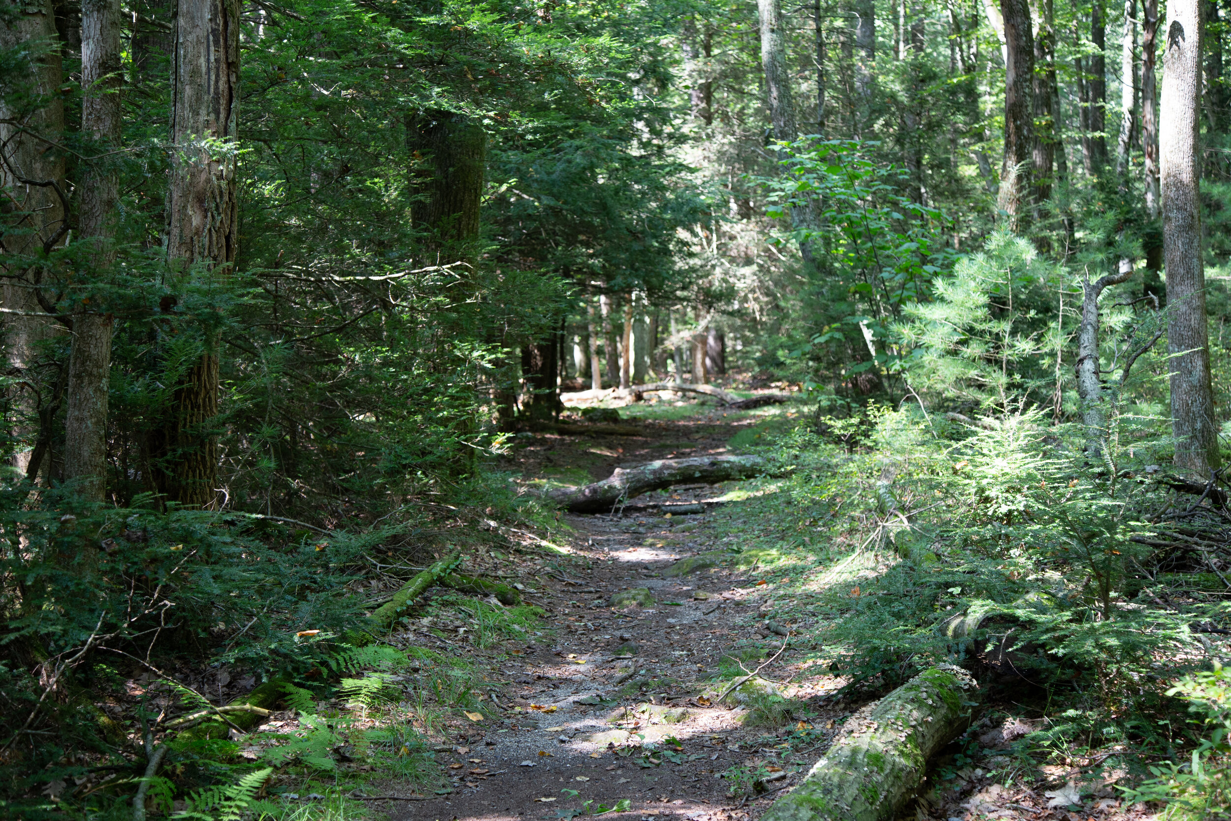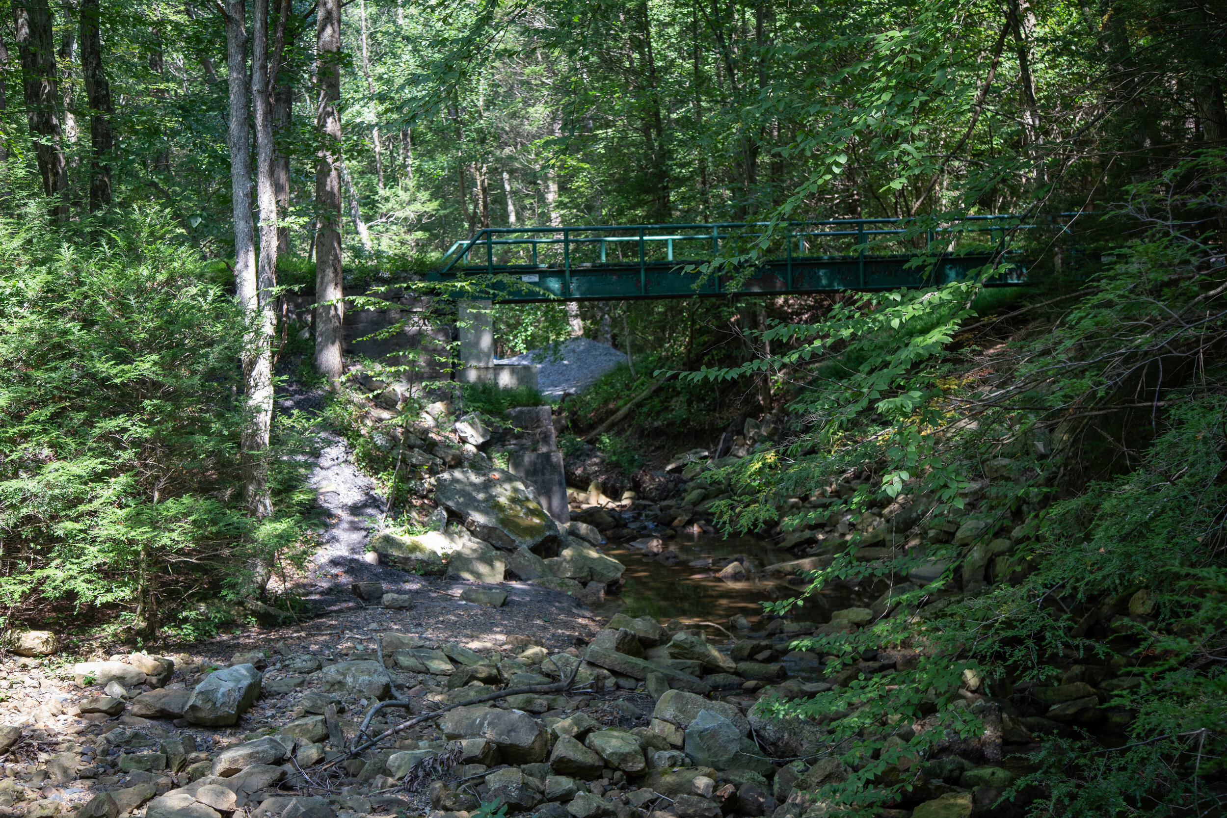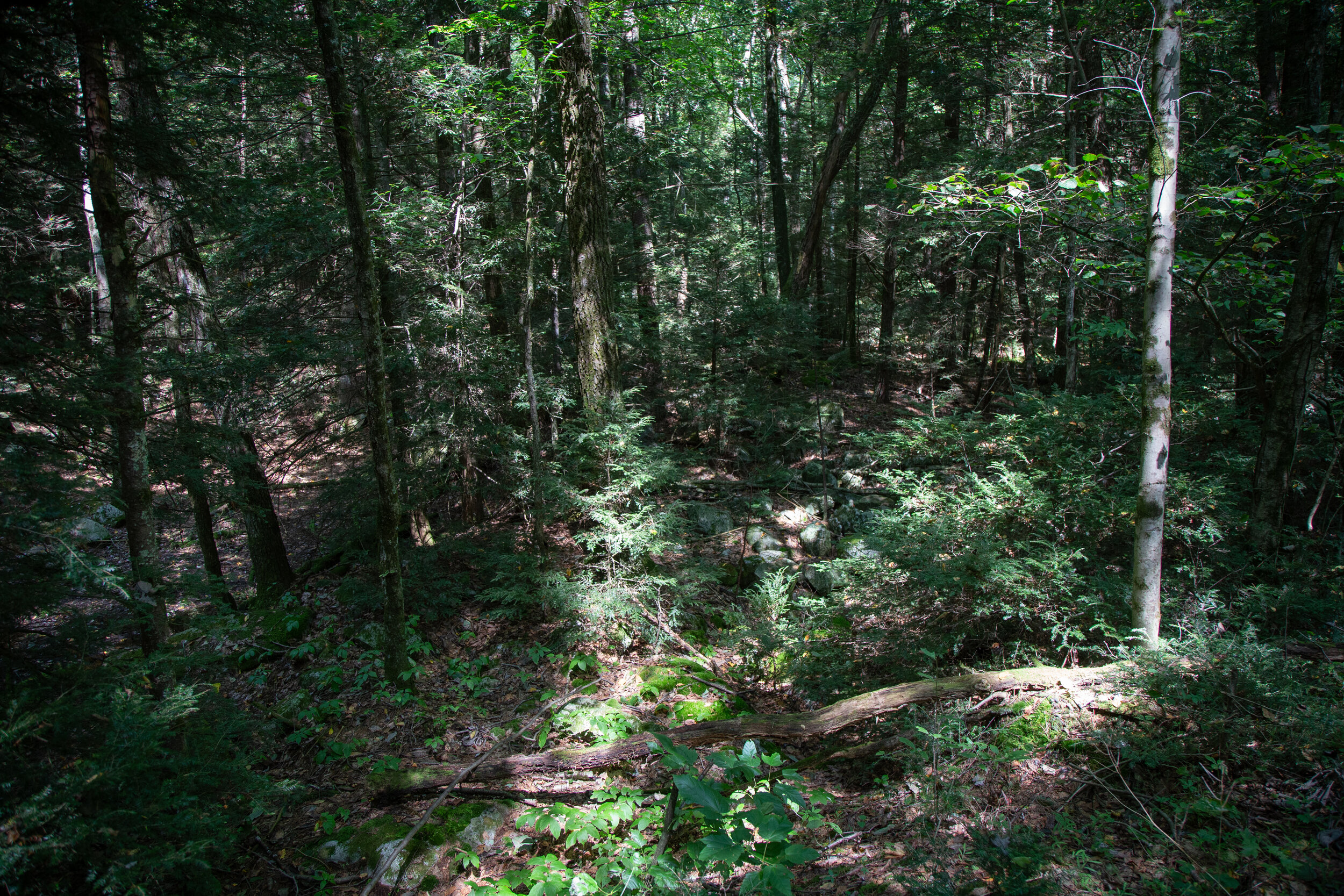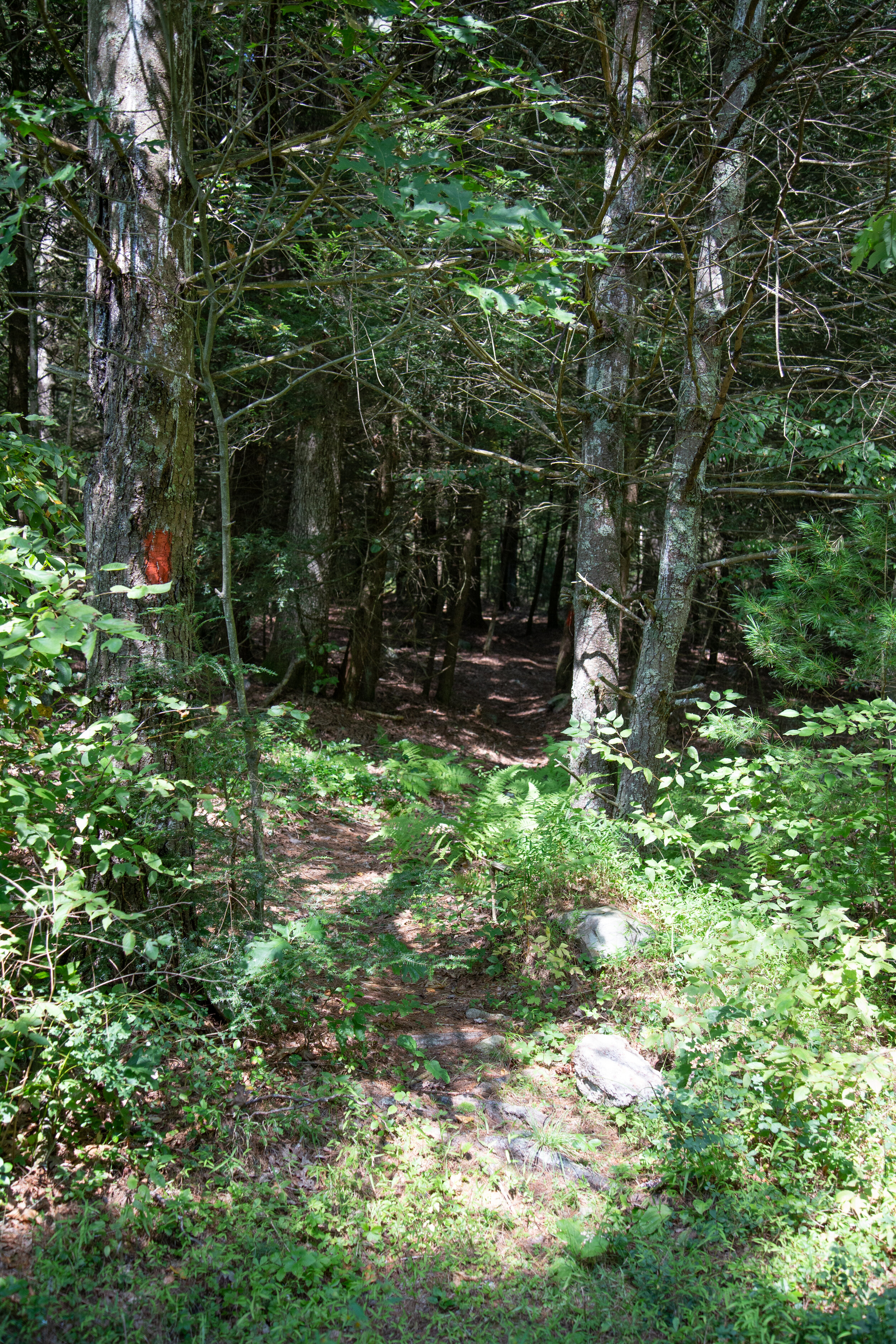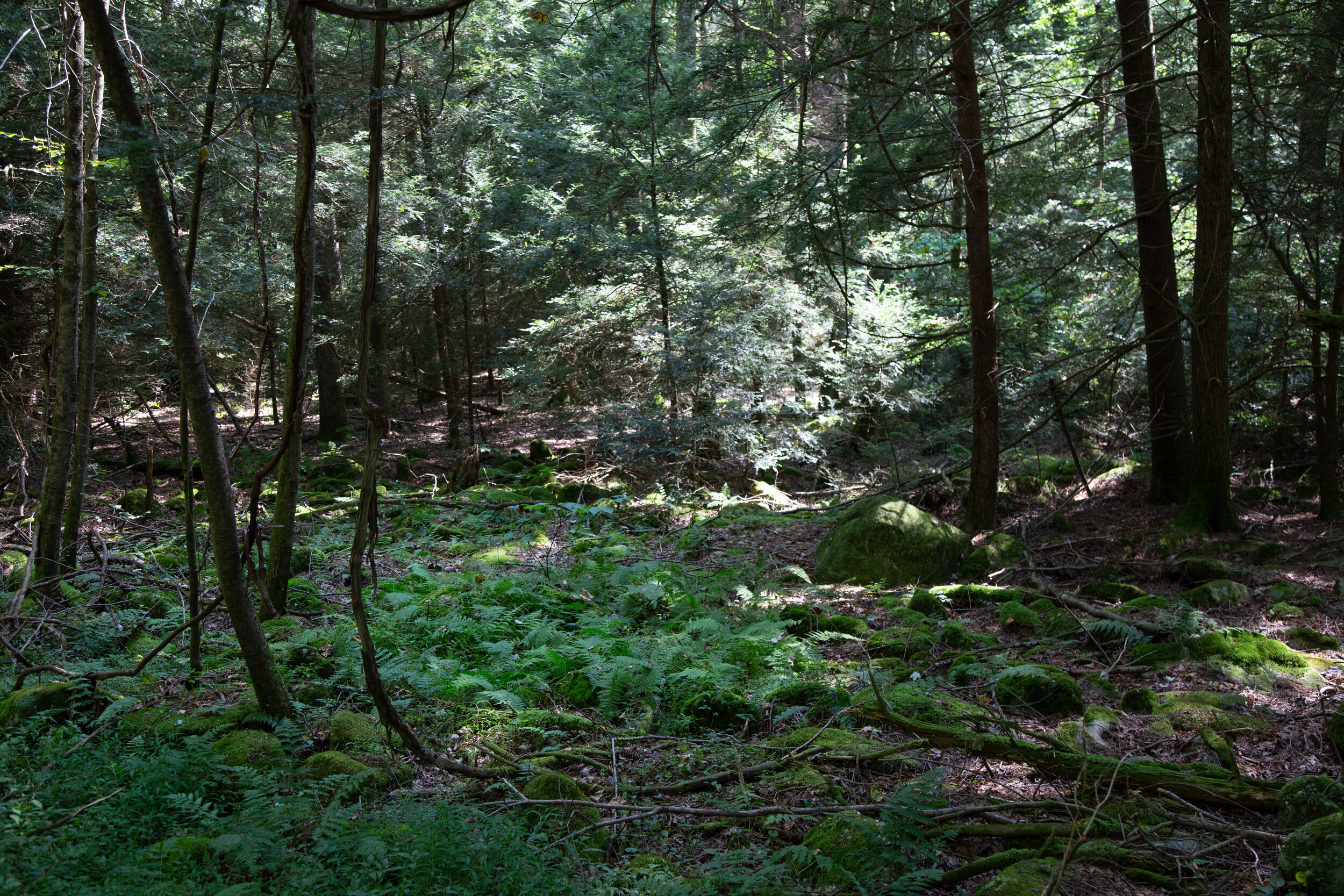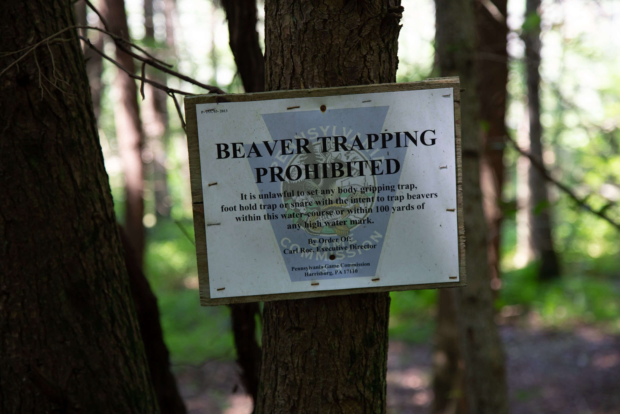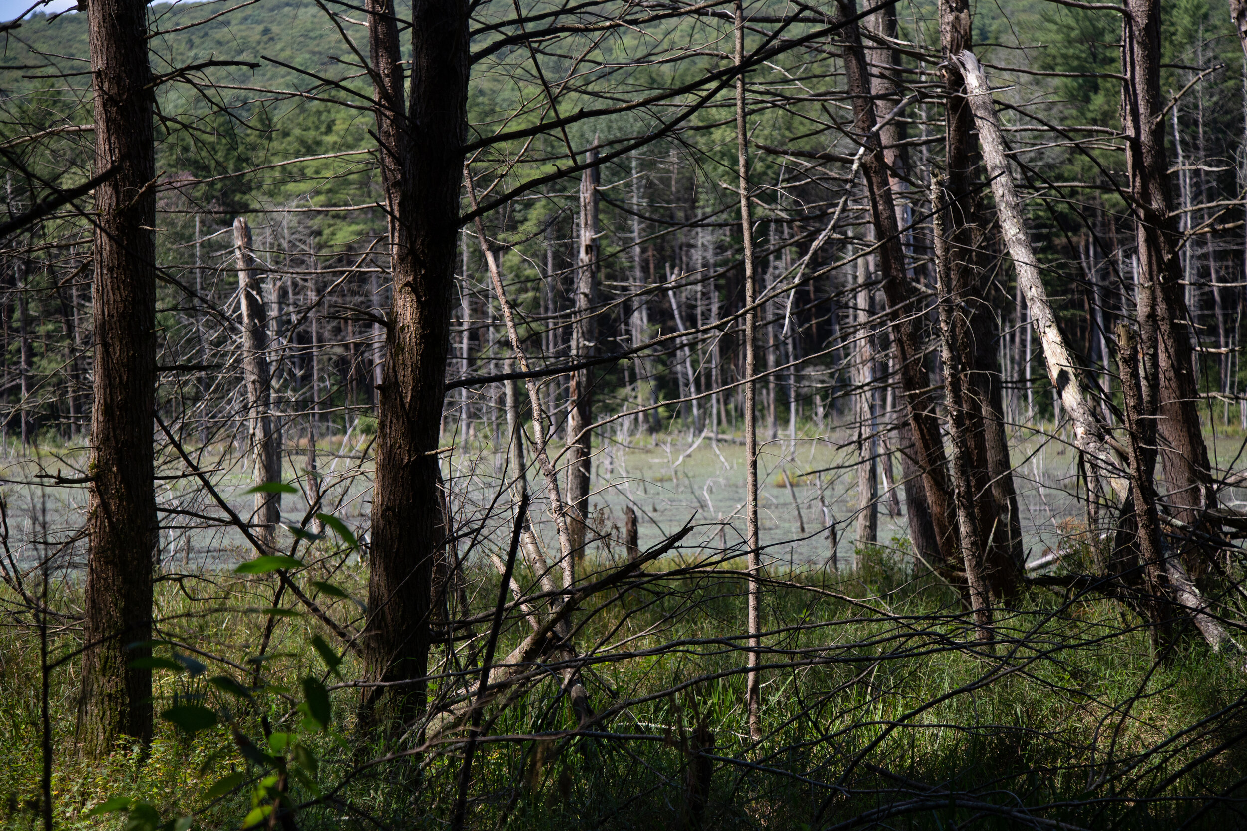
I didn’t plan on a 10 mile hike today, but over the course of the day, that was my mileage total. It felt good to finally have a nice, long day out on the trail. I started my day at Swatara State Park parking at the Trout Run Trailhead and making my way over to the AT at Green Point. I began heading southbound in the direction of the Waterville Bridge. Along the way I passed a few geared up backpackers which really made me miss backpacking in California. I haven’t done any backpacking, camping or even any long day hikes since February when I was still on the west coast. I don’t know enough about Pennsylvania yet to find the more challenging trails, but I’m working on it. Today was all about exploring. I hiked the AT for a few miles. This section is very close to the 72 and there was quite a bit of traffic noise, but it was still very beautiful. But what I really wanted to see today was Rauch Gap, an old mining town from the 1800s. When I got back to the trailhead, I got back in the car and drove over to the parking area just off Gold Mine Road for the Stoney Valley Rail Trail in SGL 211 (St. Anthony’s Wilderness). Rauch Gap is about 3.5 miles in on the trail, and I knew there would be ruins to explore and also an old cemetery. It’s fun being back in Pennsylvania because when I was a kid, I used to love exploring all the old cemeteries. There are a lot of them here. The Stoney Valley Rail Trail is beautiful. It’s about 20 miles long and runs through three counties. Eastern Hemlocks tower above and shade the duration of this section of the hike. There were a lot of rocks and boulders on either side of the trail so I wonder if that’s how “Stoney Valley” got its name. On the north side of the trail at about .5 in is the Evening Branch Beaver Swamp. There’s a deer path that goes around the swamp, but I decided to save that adventure for another day and continue on my quest to Rauch Gap. When we got to the bridge, I went off trail to begin my quest for ruins. I love visiting places that have so much history, even if only their ruins exist. On the north side I found a use trail which took me up to what looked like it had been an old rail bed. When I got back home I did some research and found out that this was the original rail bed for Summit Siding. At the creek I found two large stone structures which apparently were the bridge piers. I travelled up the creek a bit further to find some small waterfalls and then decided to head back down to the opposite side and see what I could find there. The AT has a junction here and so I got on it and followed it for a ways. I found more ruins here and some deep holes with foundation dug into the ground that must have been some sort of buildings. I never did find the cemetery, but when I got home and did more research I found out it was still there, but I hadn’t gone far enough. So of course now I need to come back to complete my mission. And perhaps I’ll find more ruins along the way. There’s a lot to explore here. Especially if you’re into some cool history.