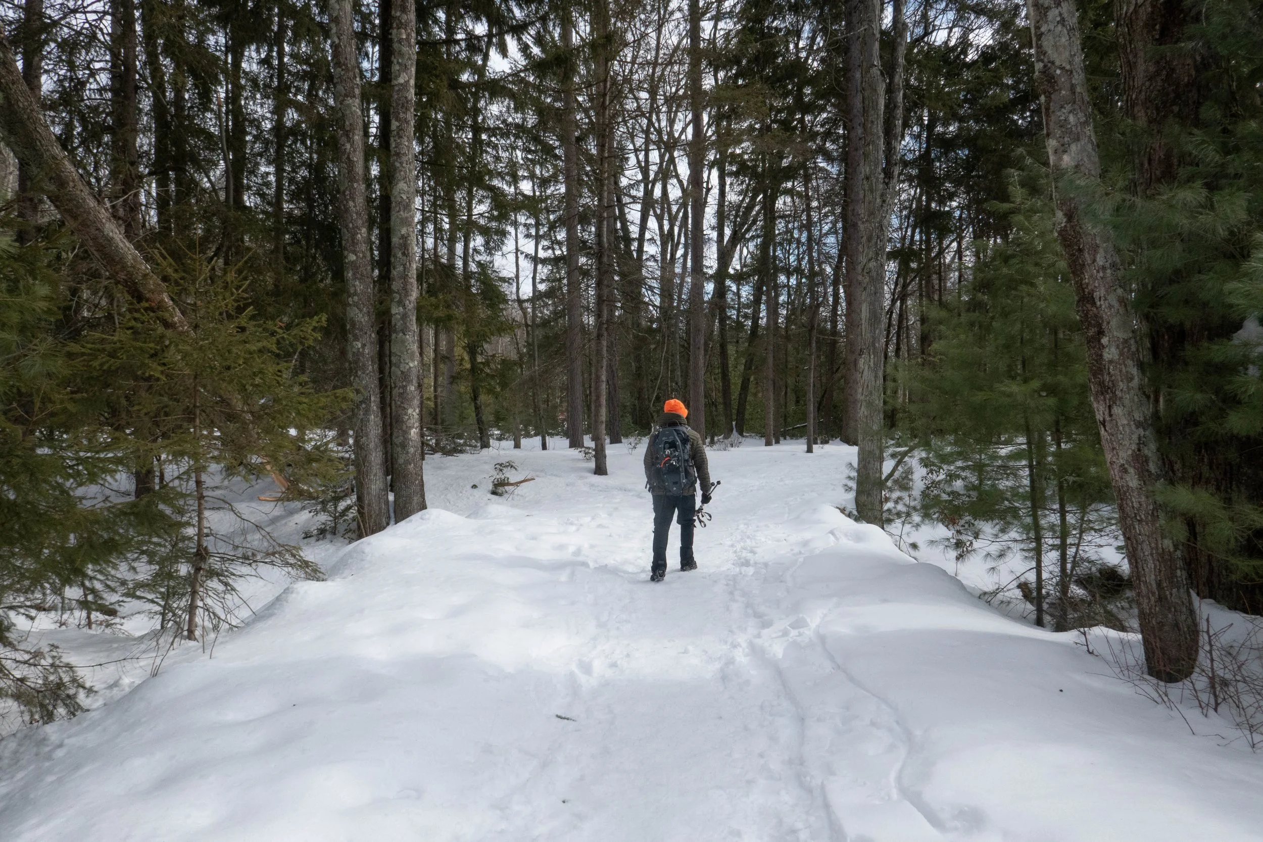
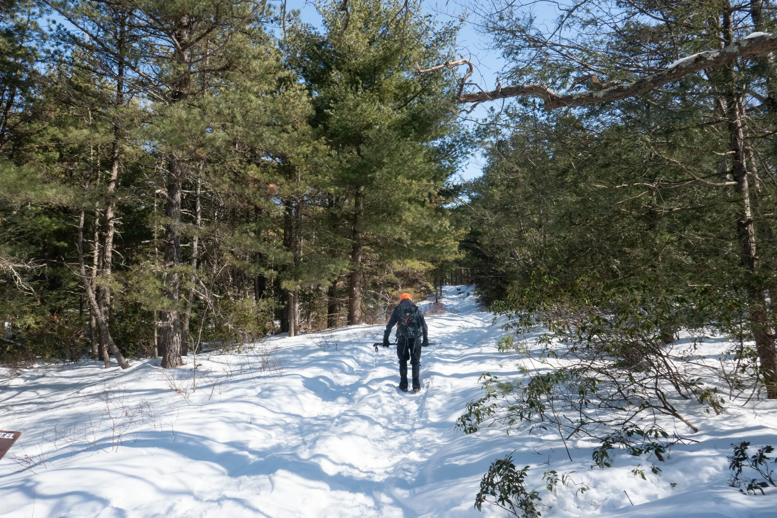
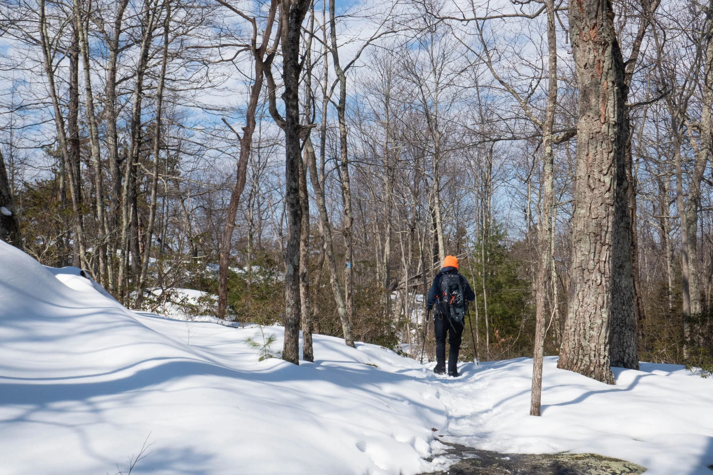
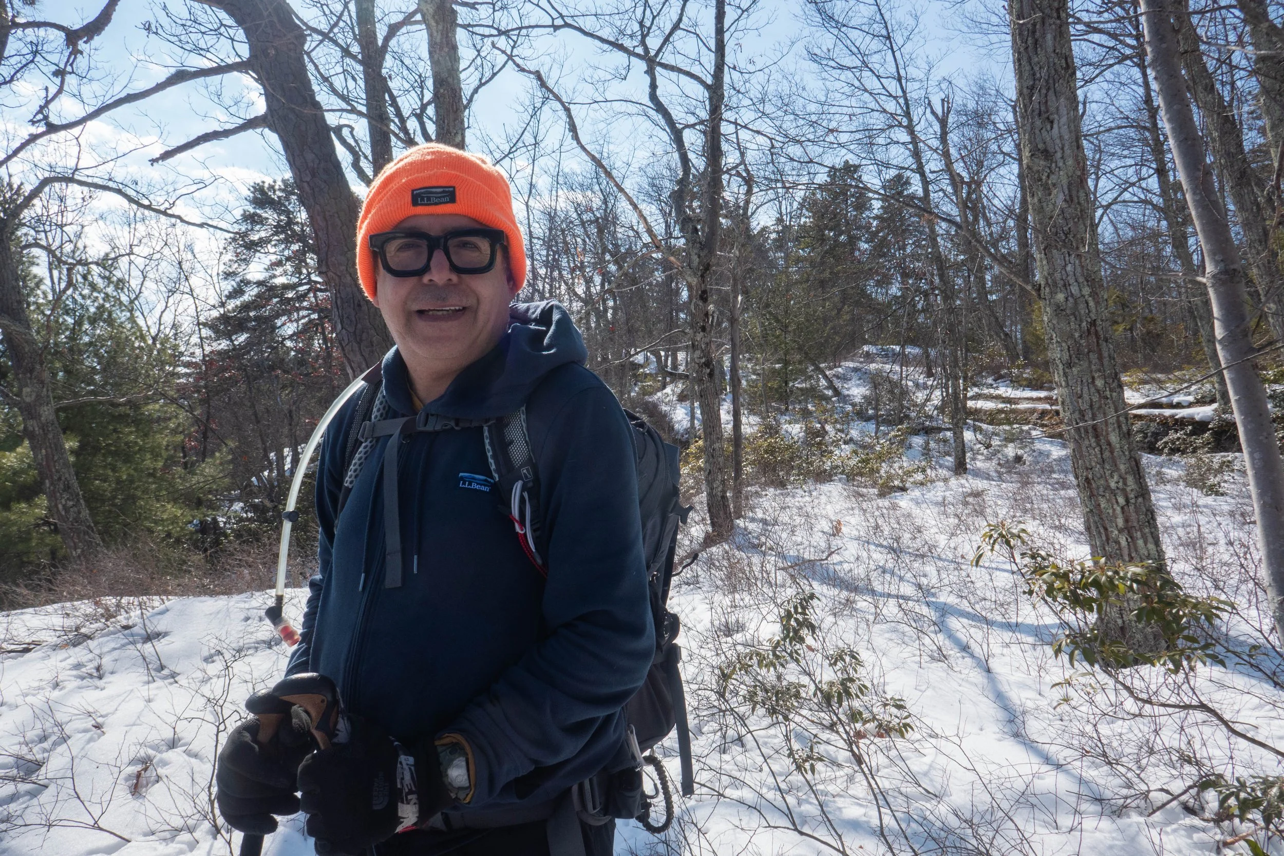
Today we went back to Minnewaska to continue along the Awosting Falls Trail. We planned to hike to the Bull Wheel Trail and loop back on the High Peter’s Kill Trail. We arrived shortly after the lot opened at 9 a.m., and people were just starting to filter in.
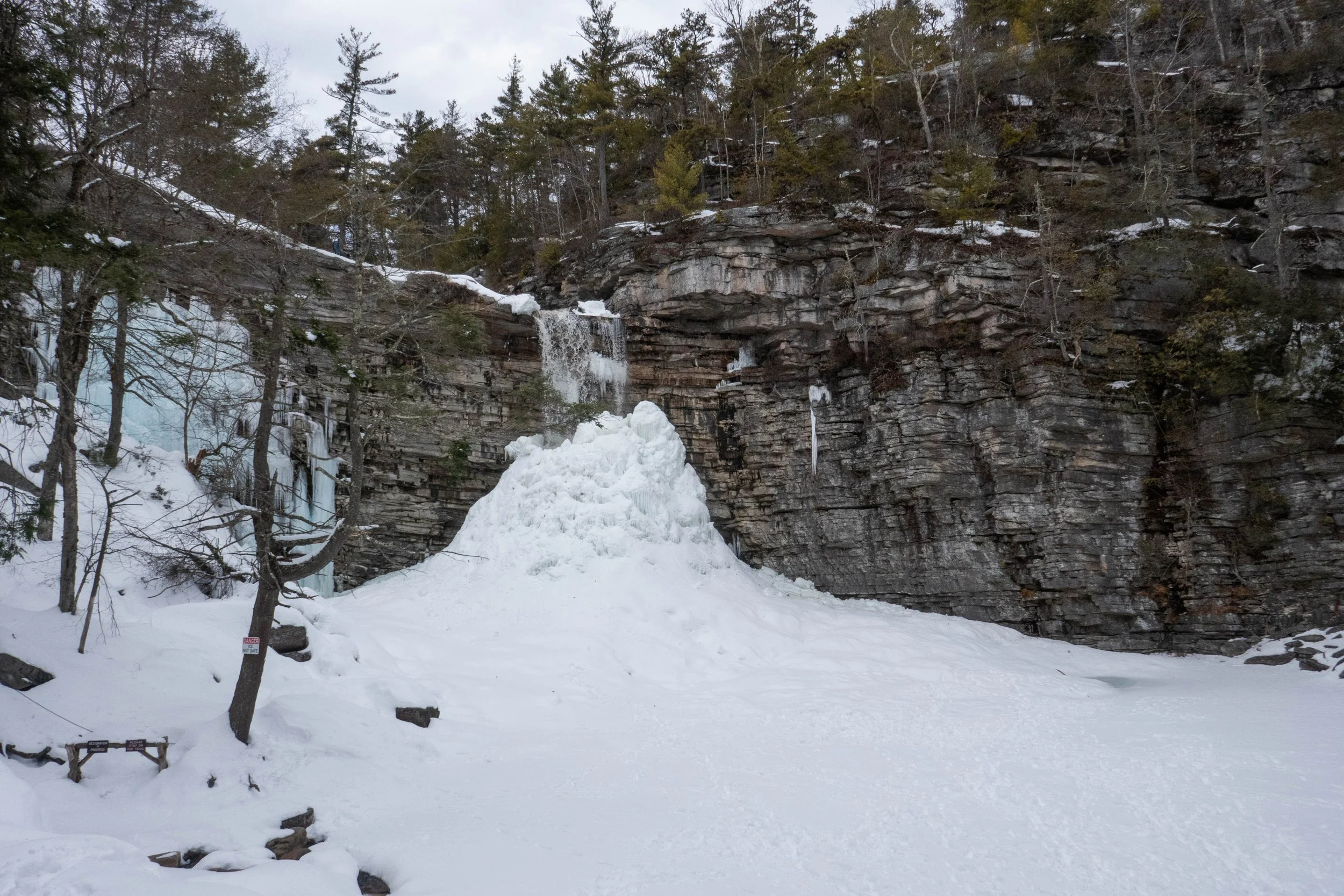
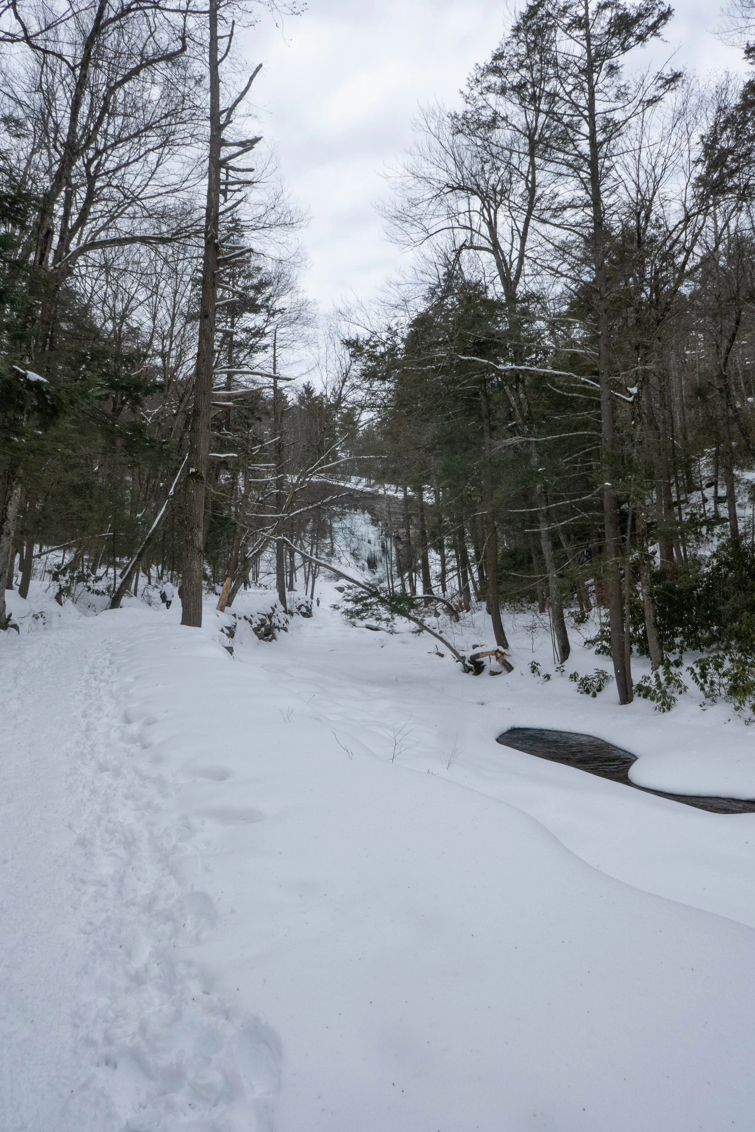
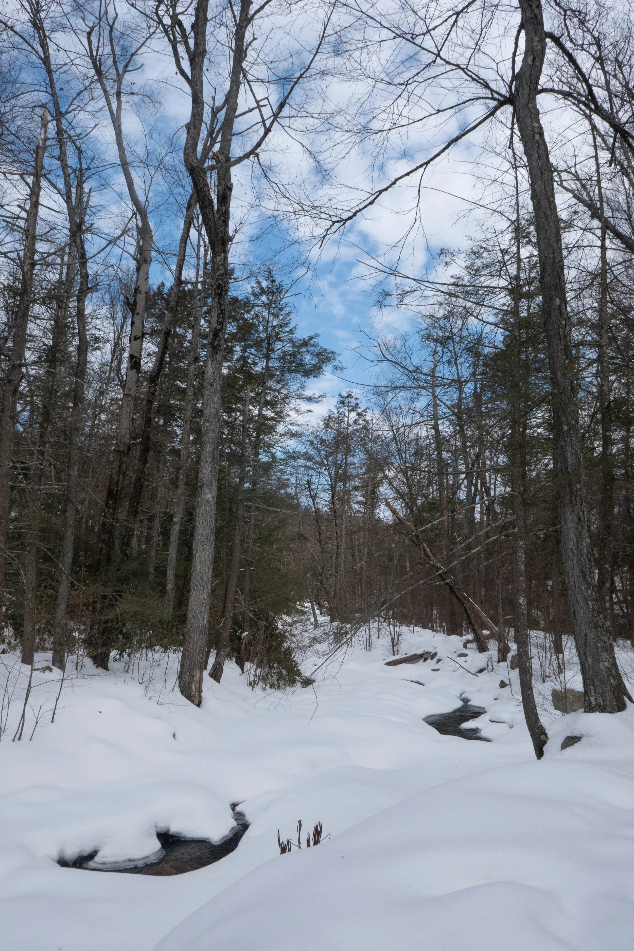
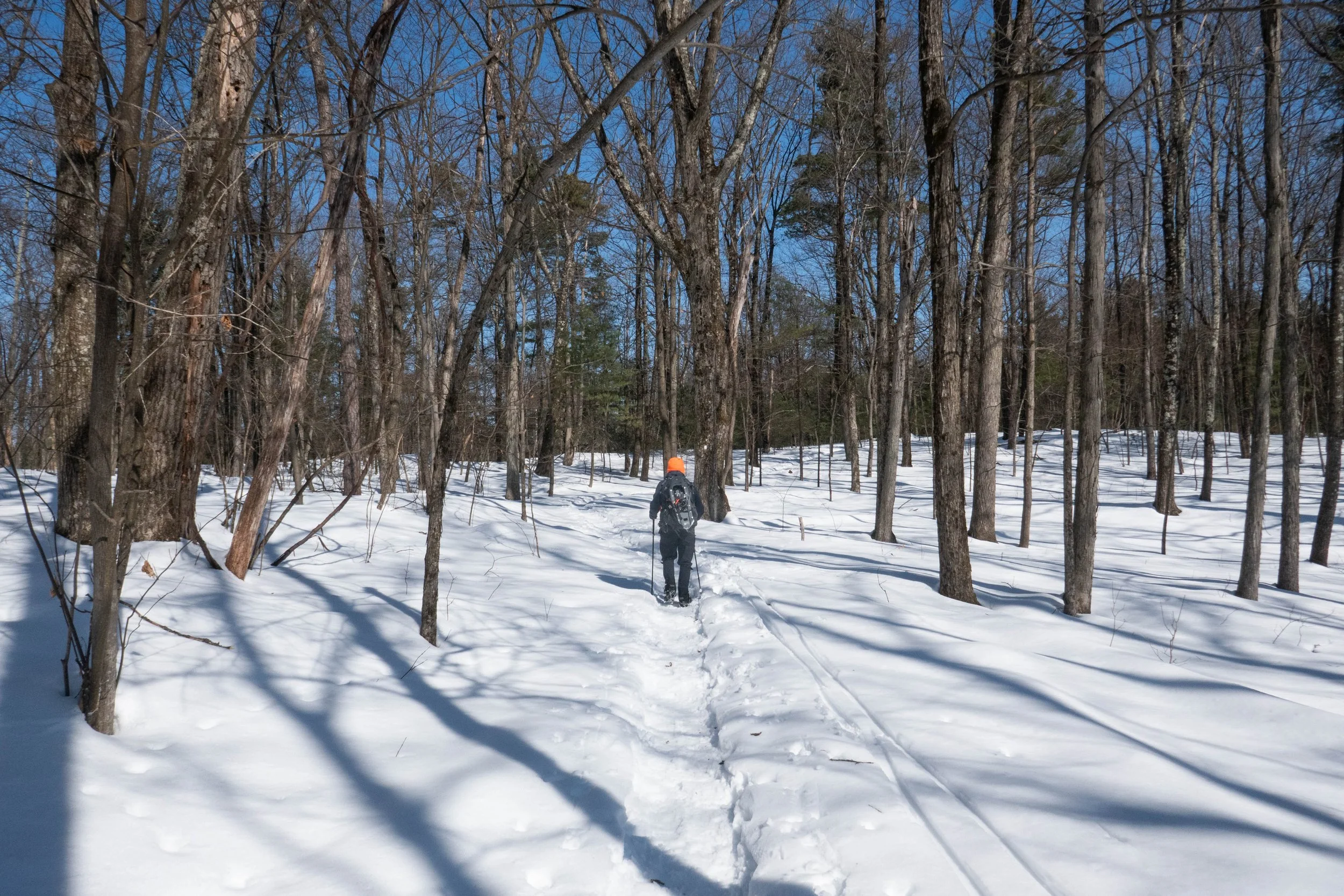
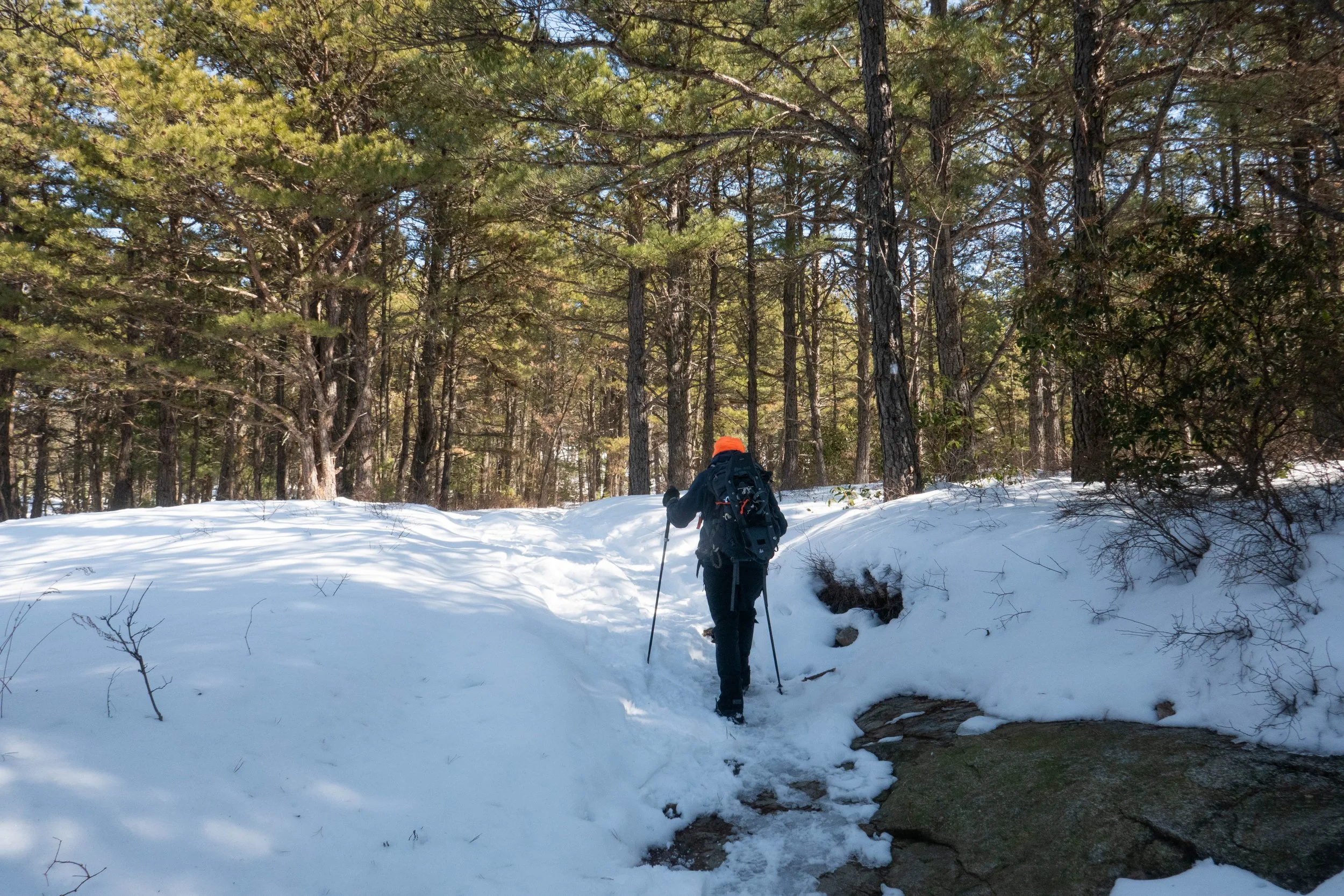
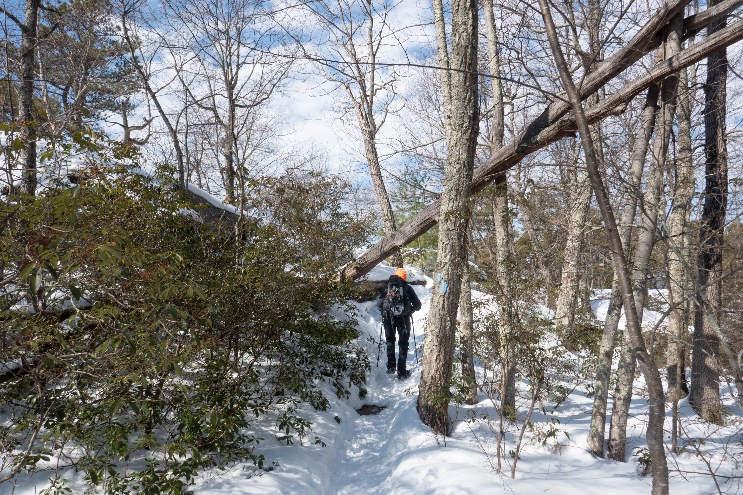
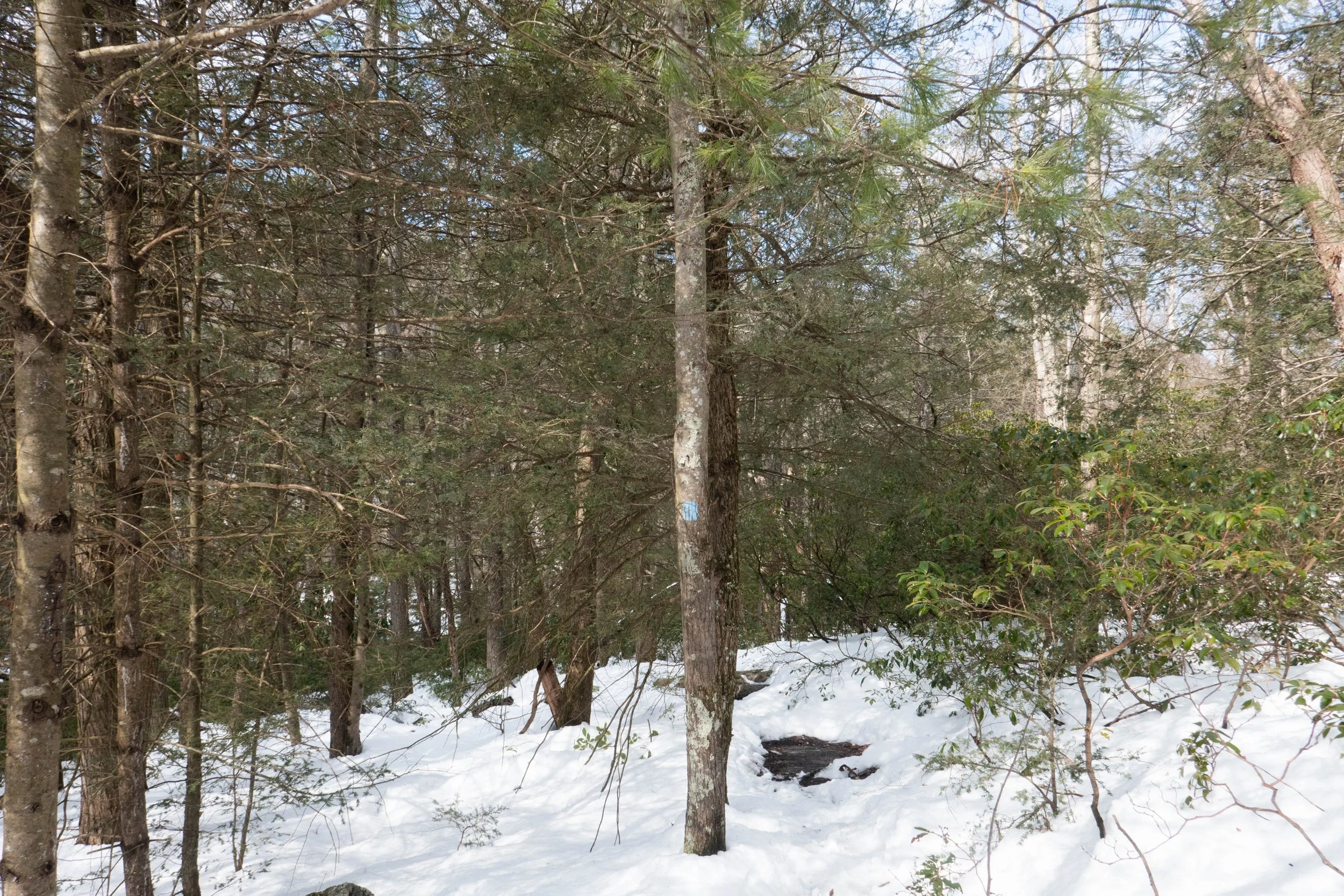
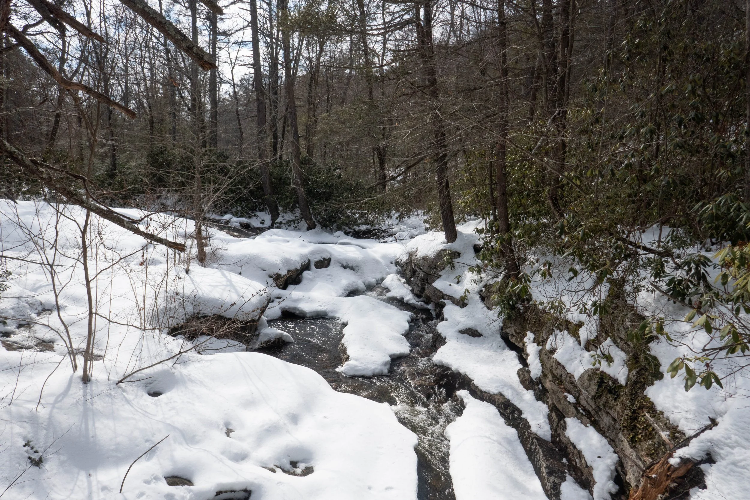
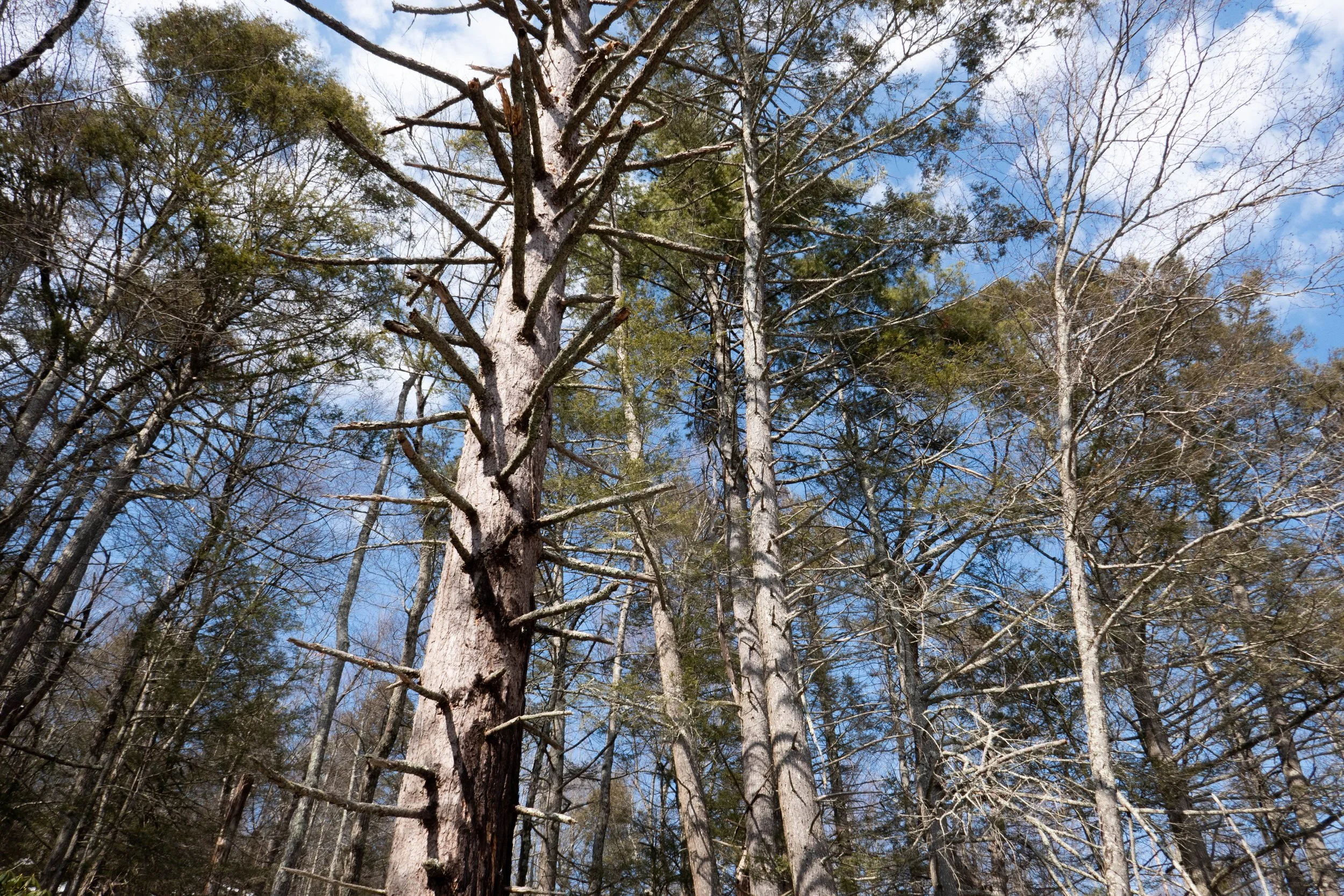
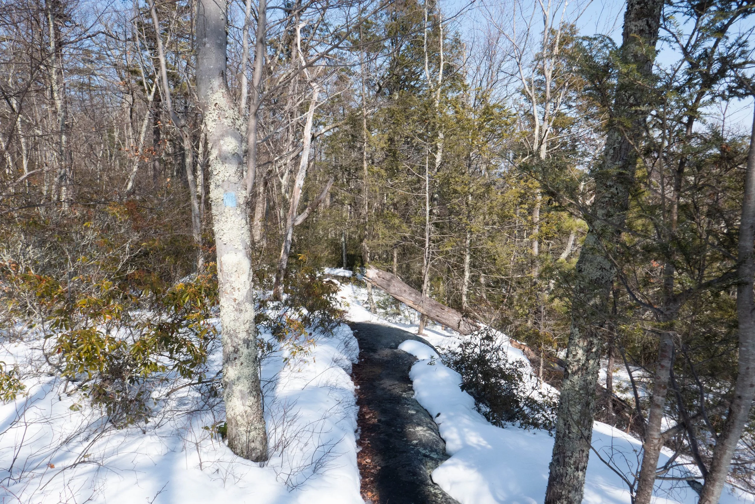
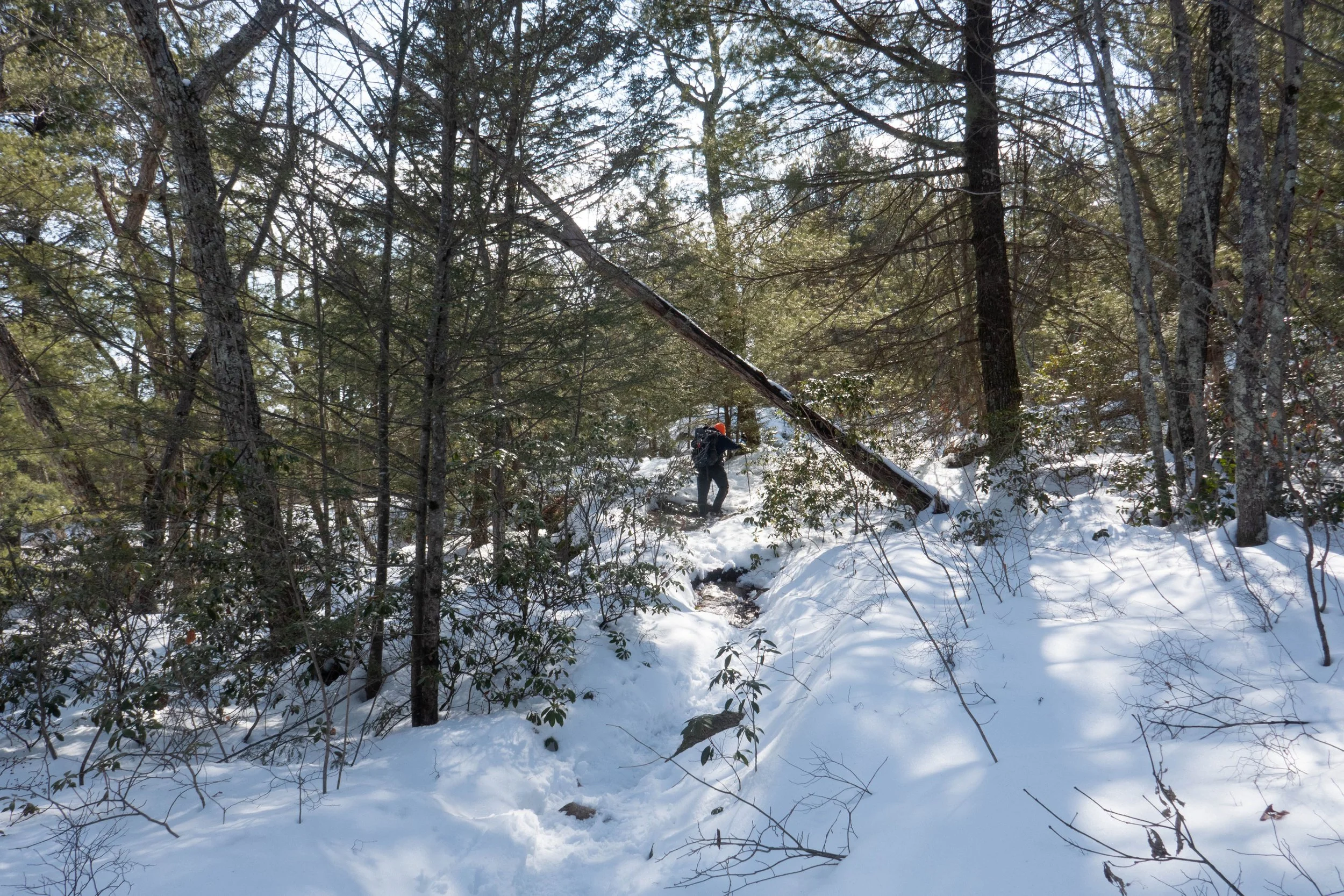
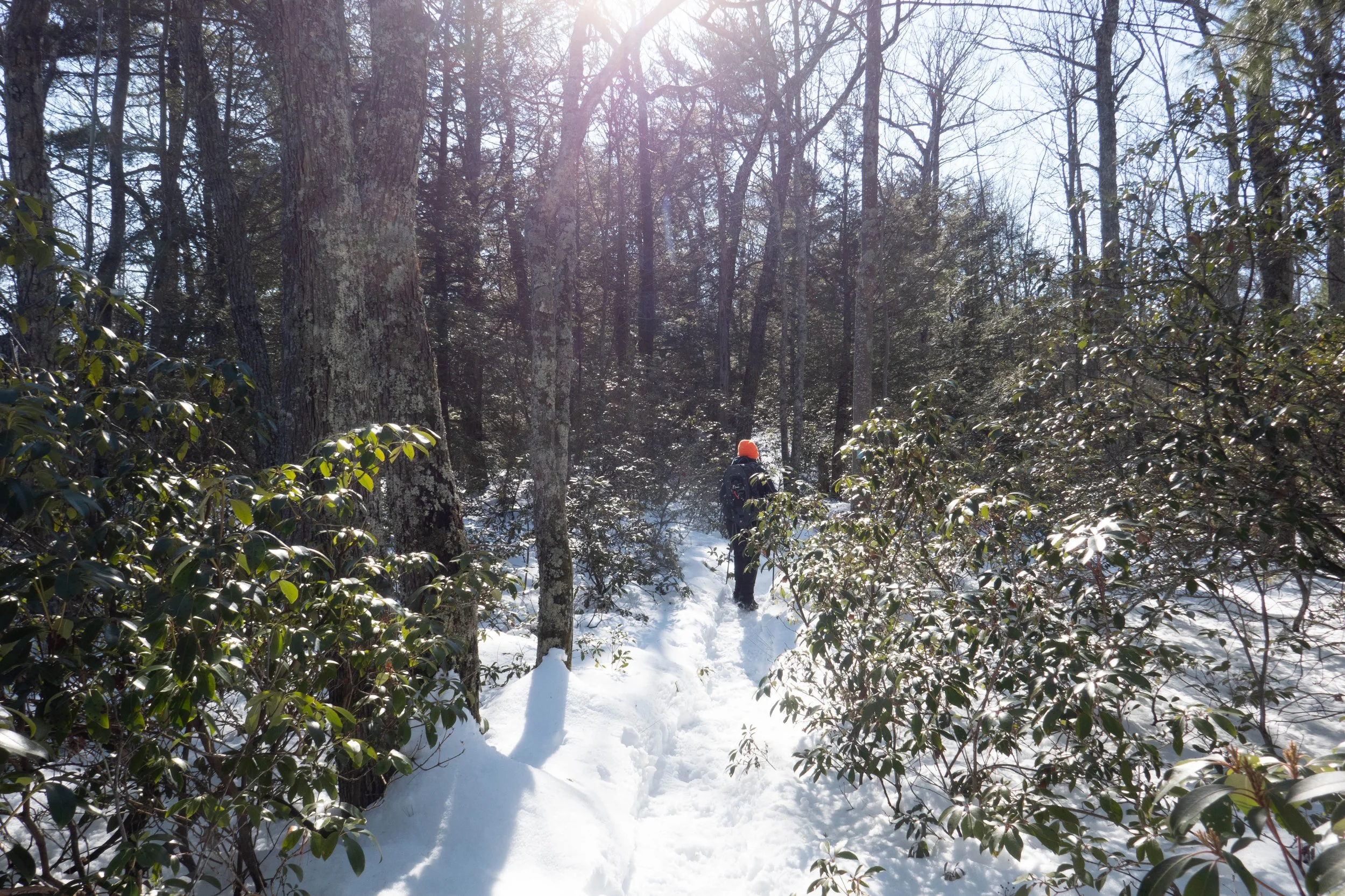
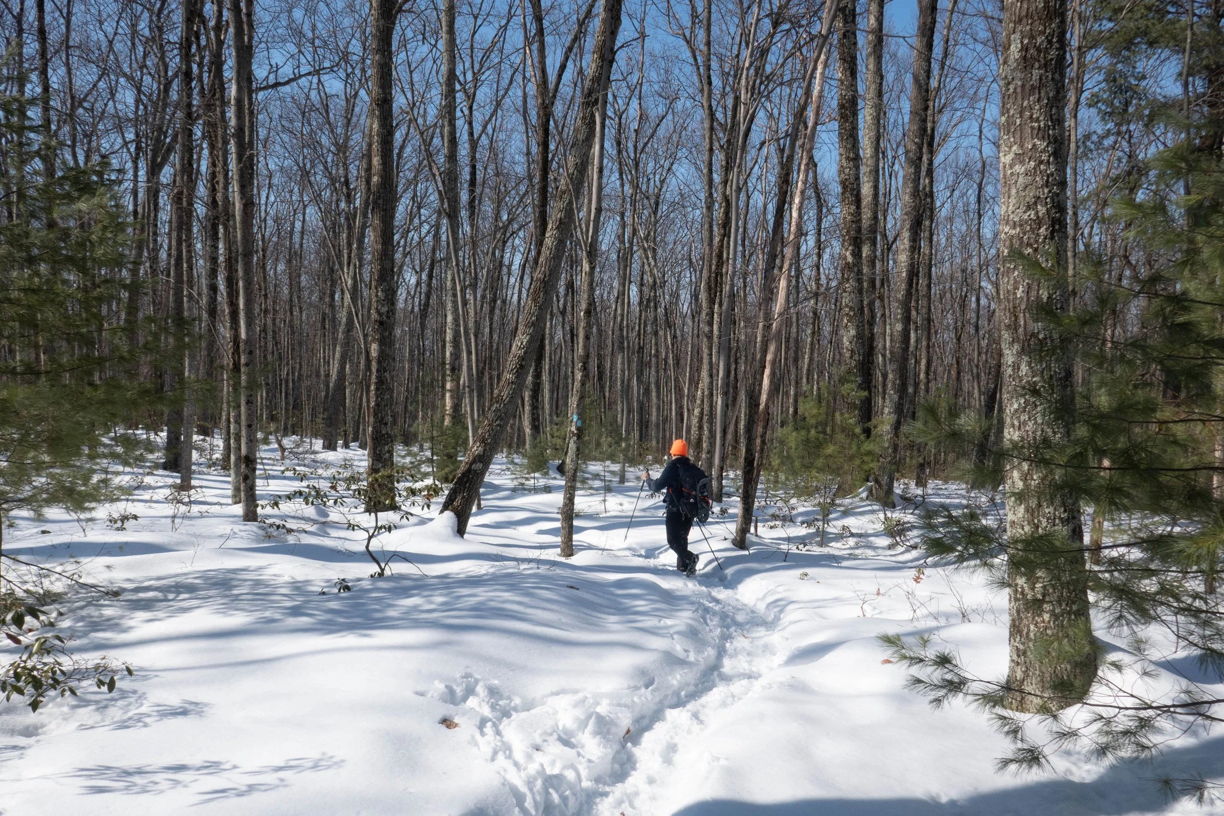
We took the Awosting Falls Trail past the waterfall and along the scenic Peter’s Kill stream. This trail is a wide carriage road. It was still covered in ice and snow and the waterfall was flowing, but parts of it were also still frozen. We continued until we reached the footpath for the Awosting Falls Connector Trail and followed it to Route 44. After crossing the road to the High Peter’s Kill parking area, we found the Red Loop footpath and followed it briefly until reaching the Bull Wheel Trail.
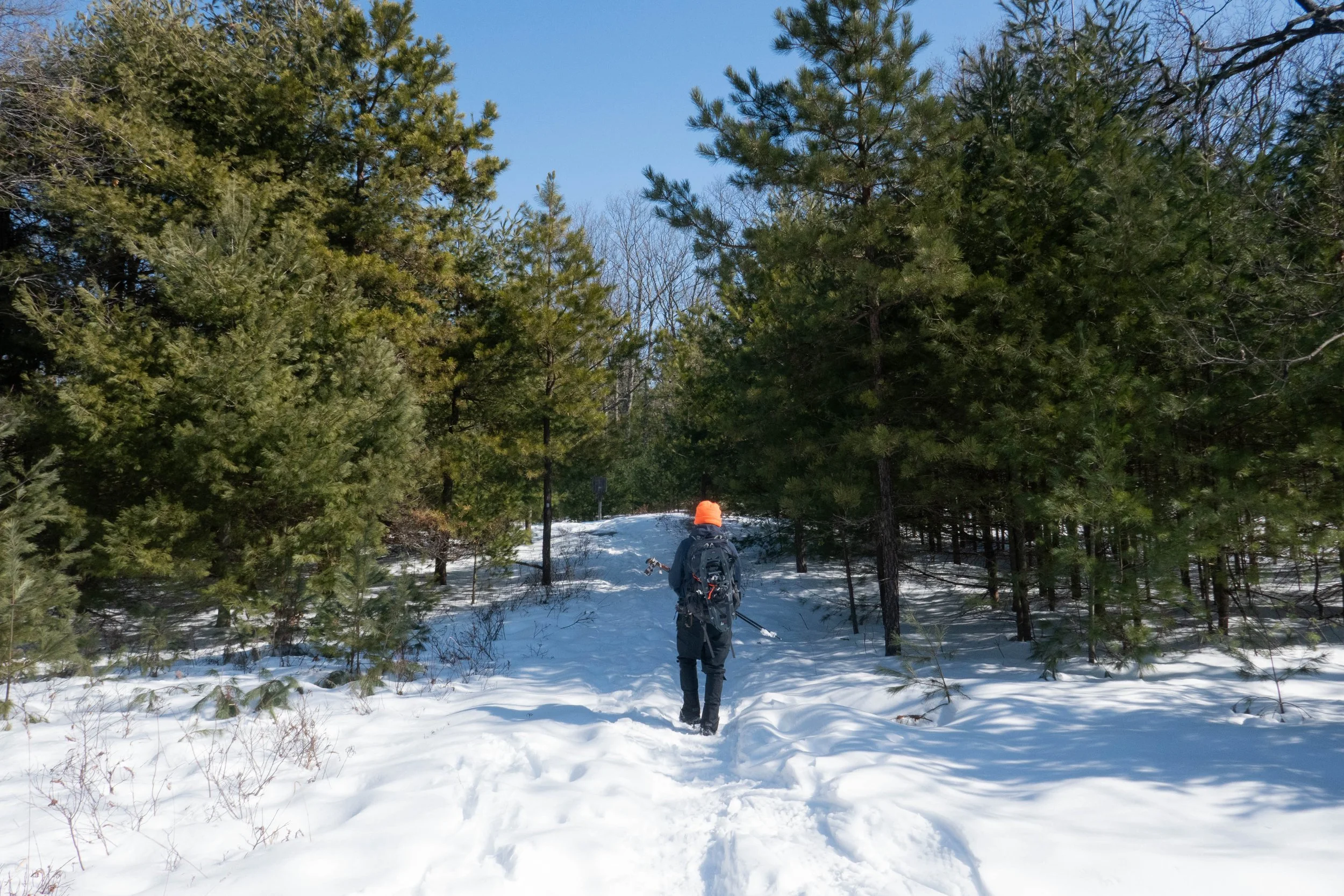
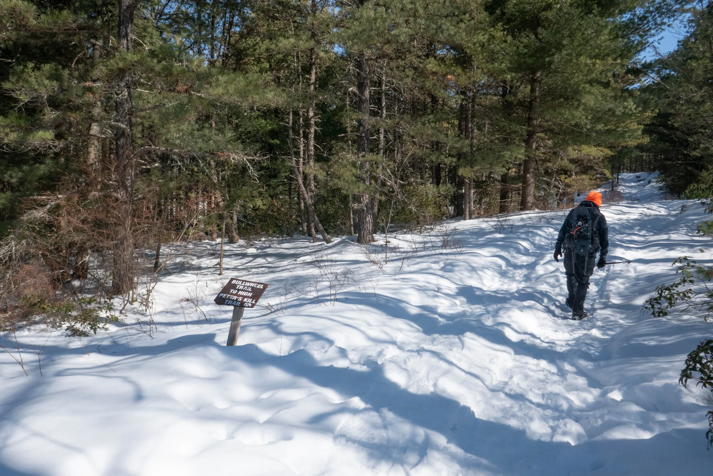
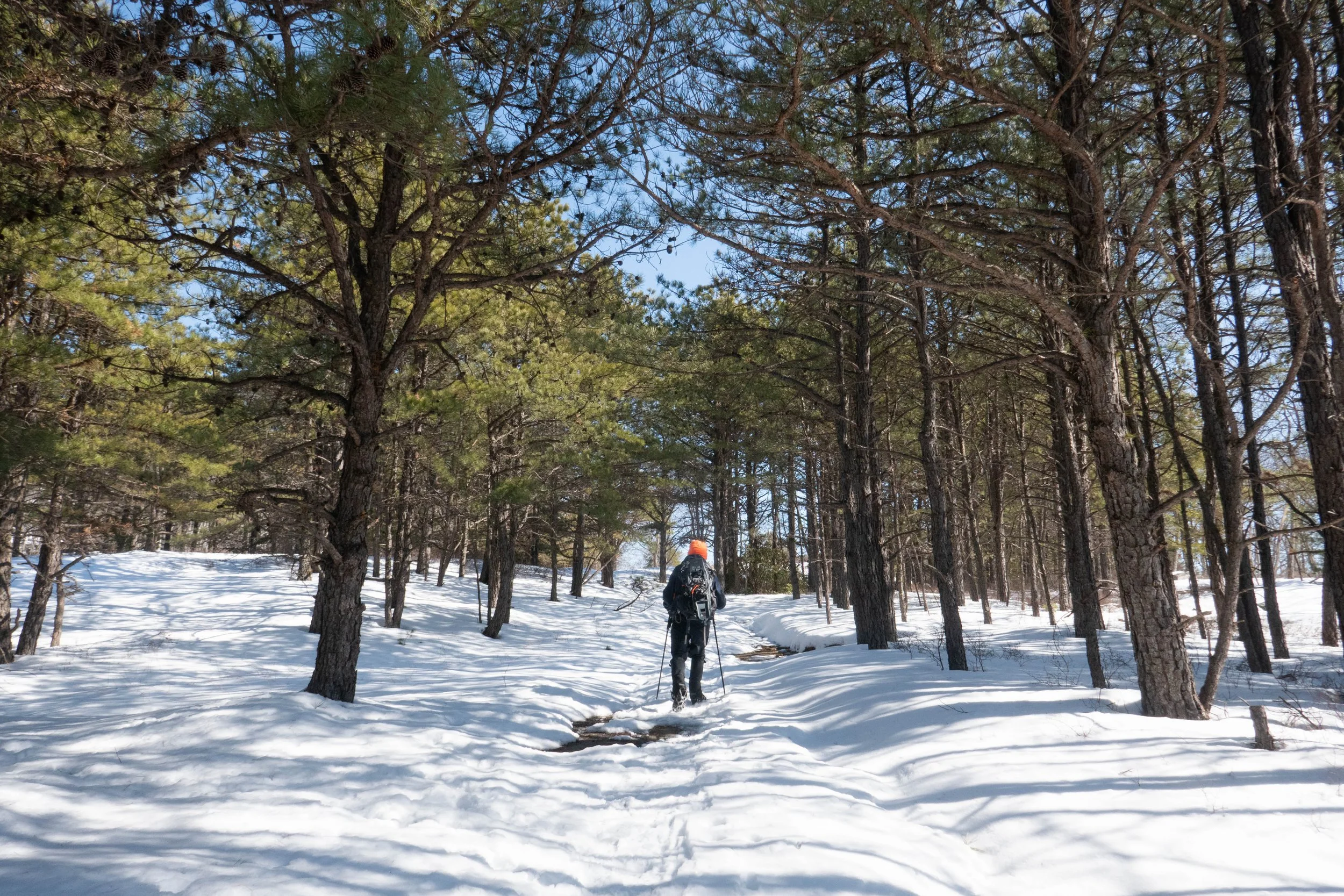
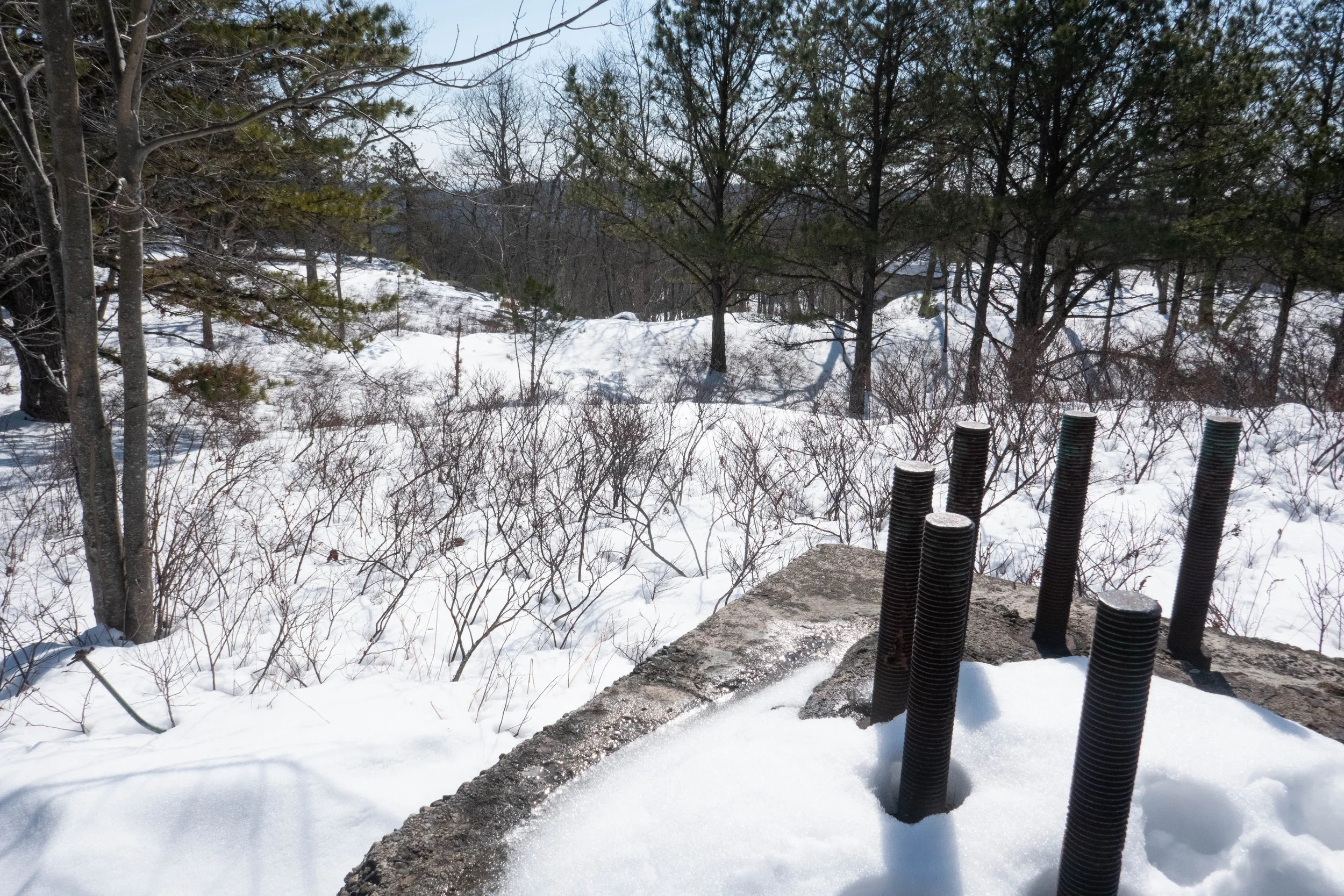
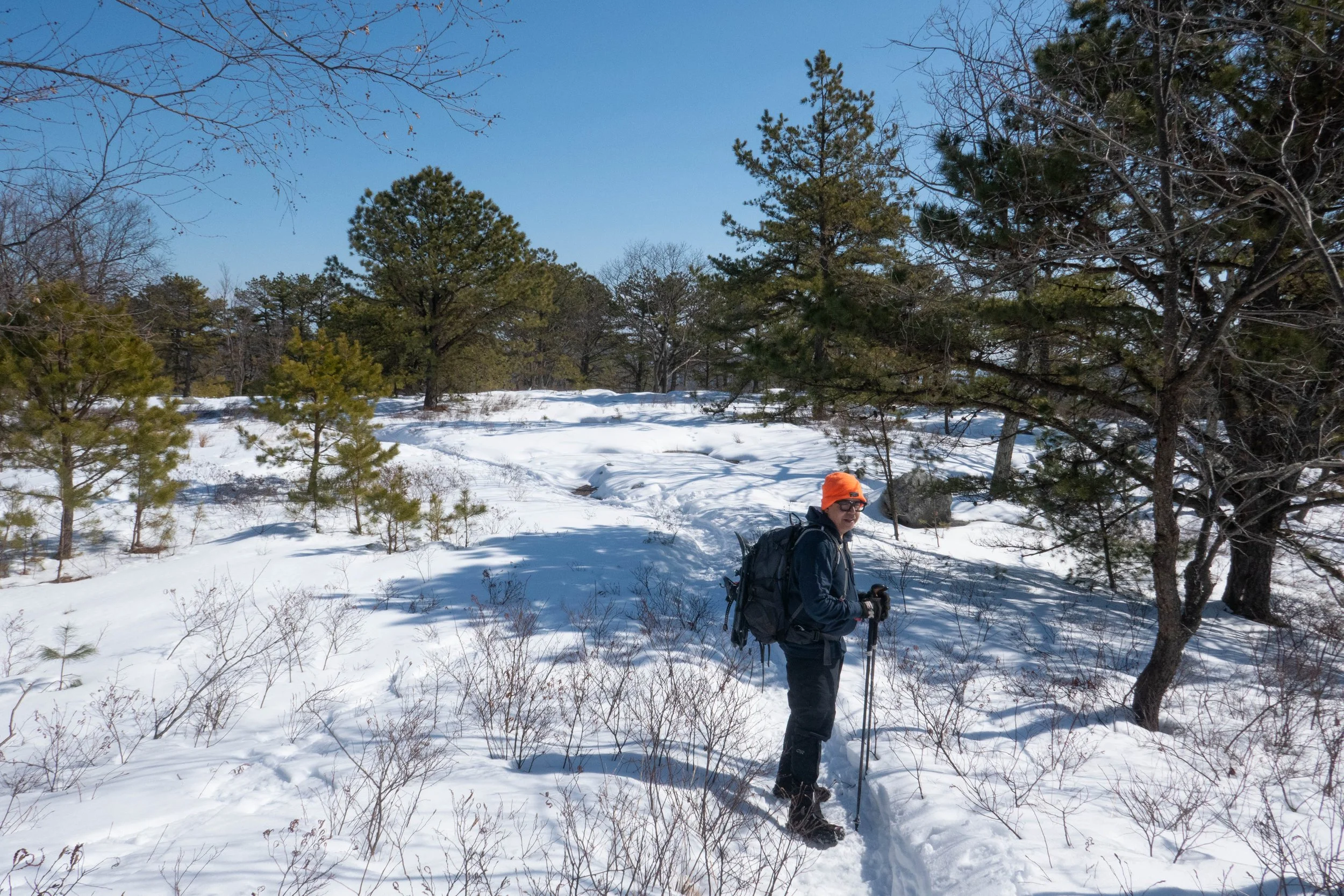
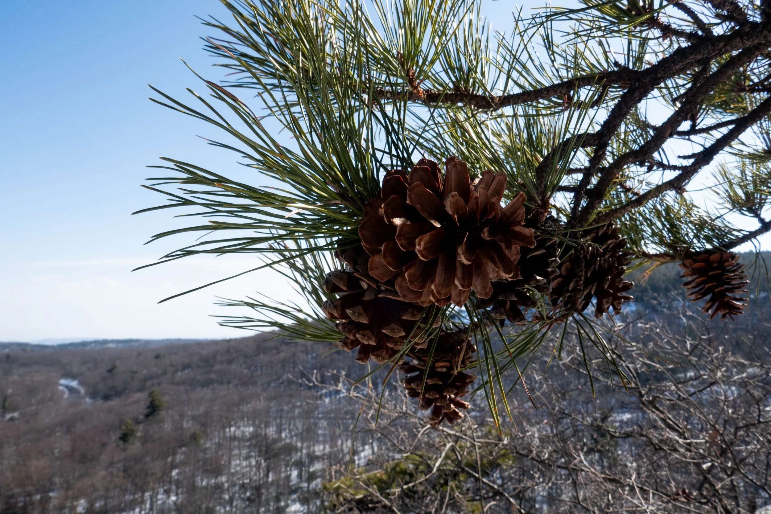
From there, we gradually ascended to an open area filled with pitch pines and the remains of a concrete slab which was once the base of a tower that supported a pulley for a ski lift. This was part of the Ski Minne downhill ski area that operated from 1964 to 1978. The pulley, known as a “bull wheel” is how the trail got its name.
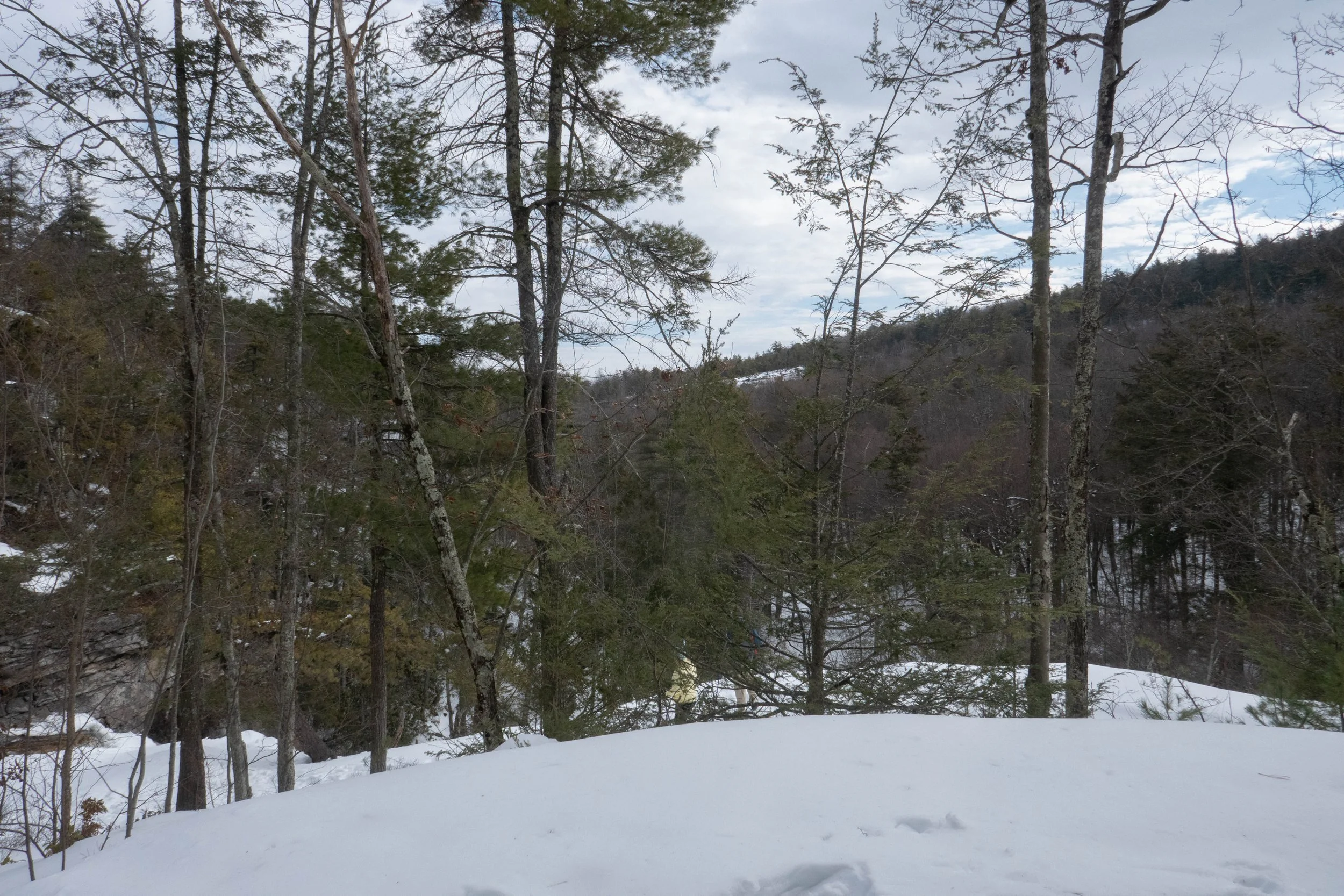
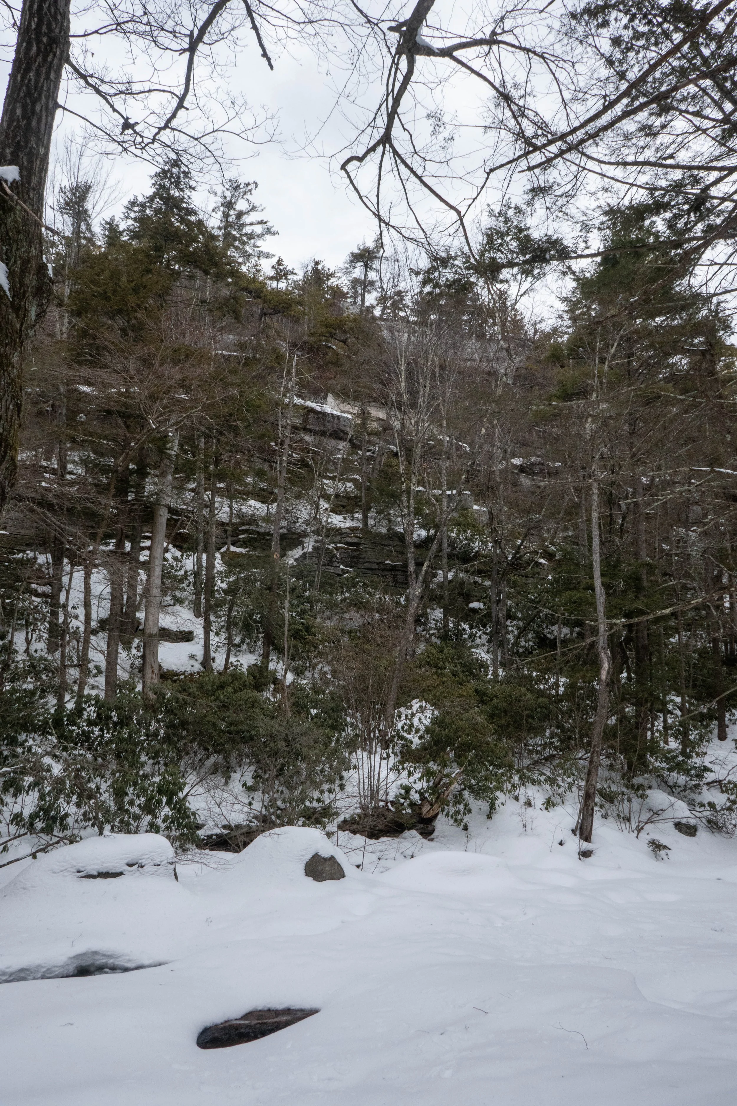
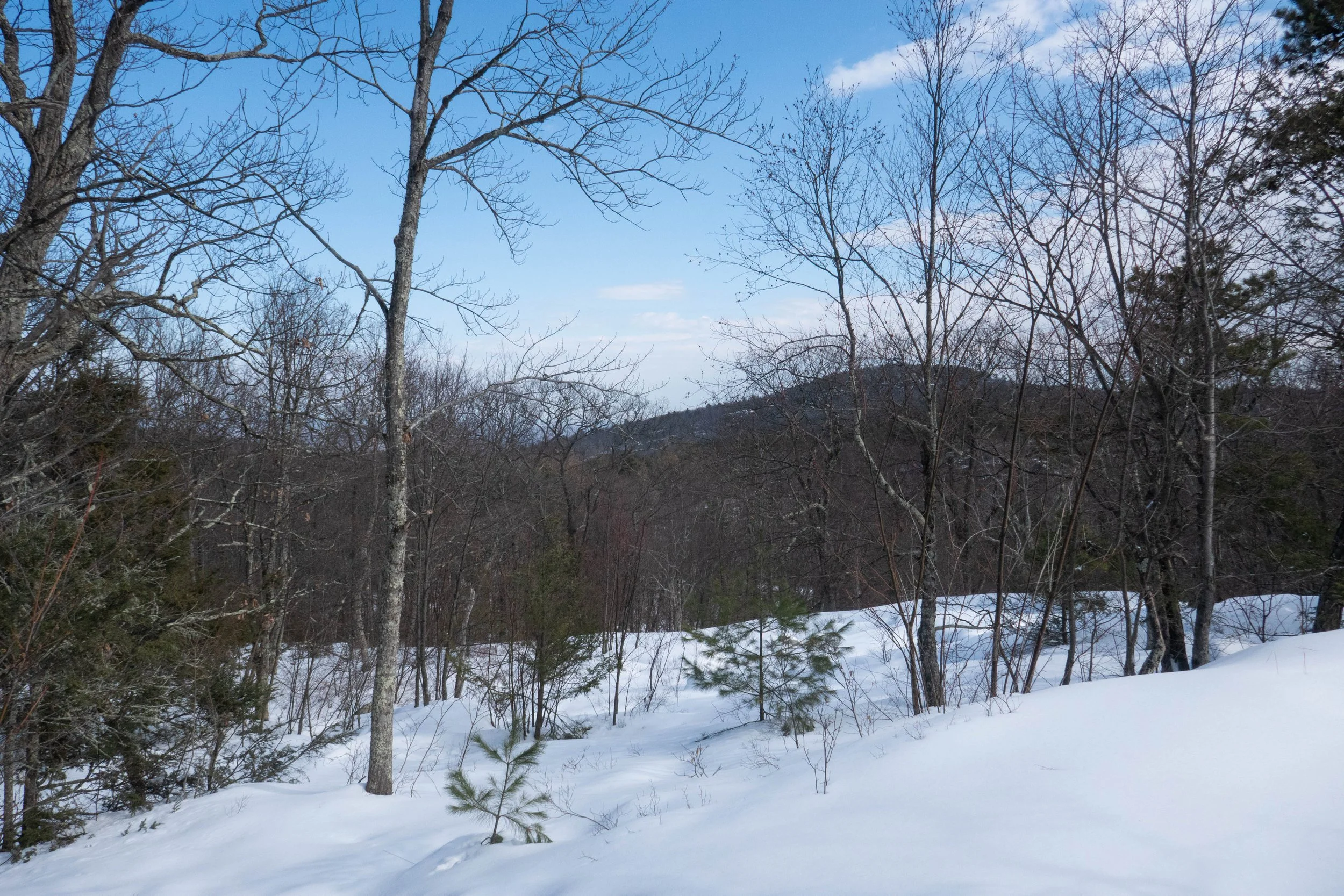
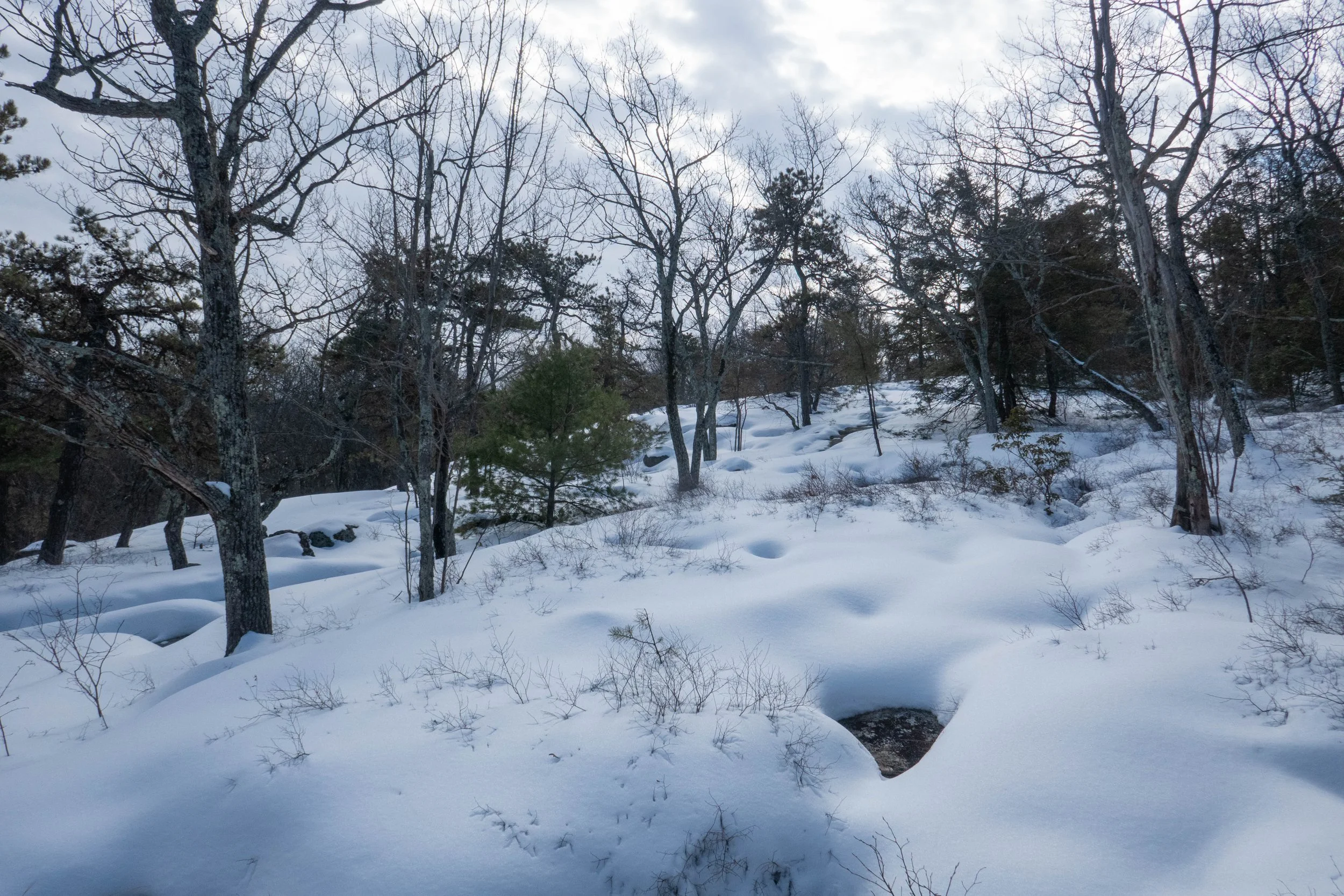
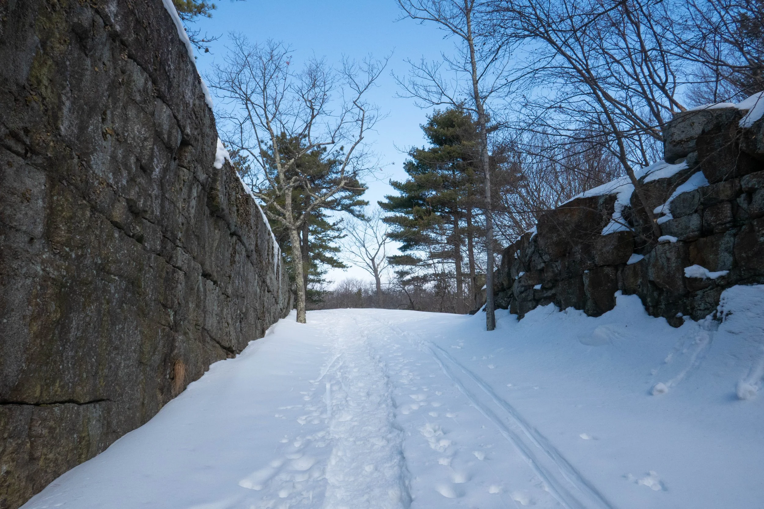
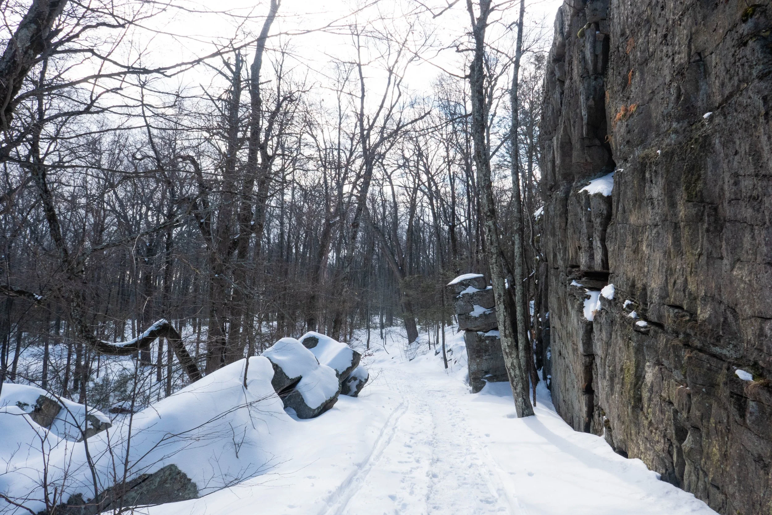
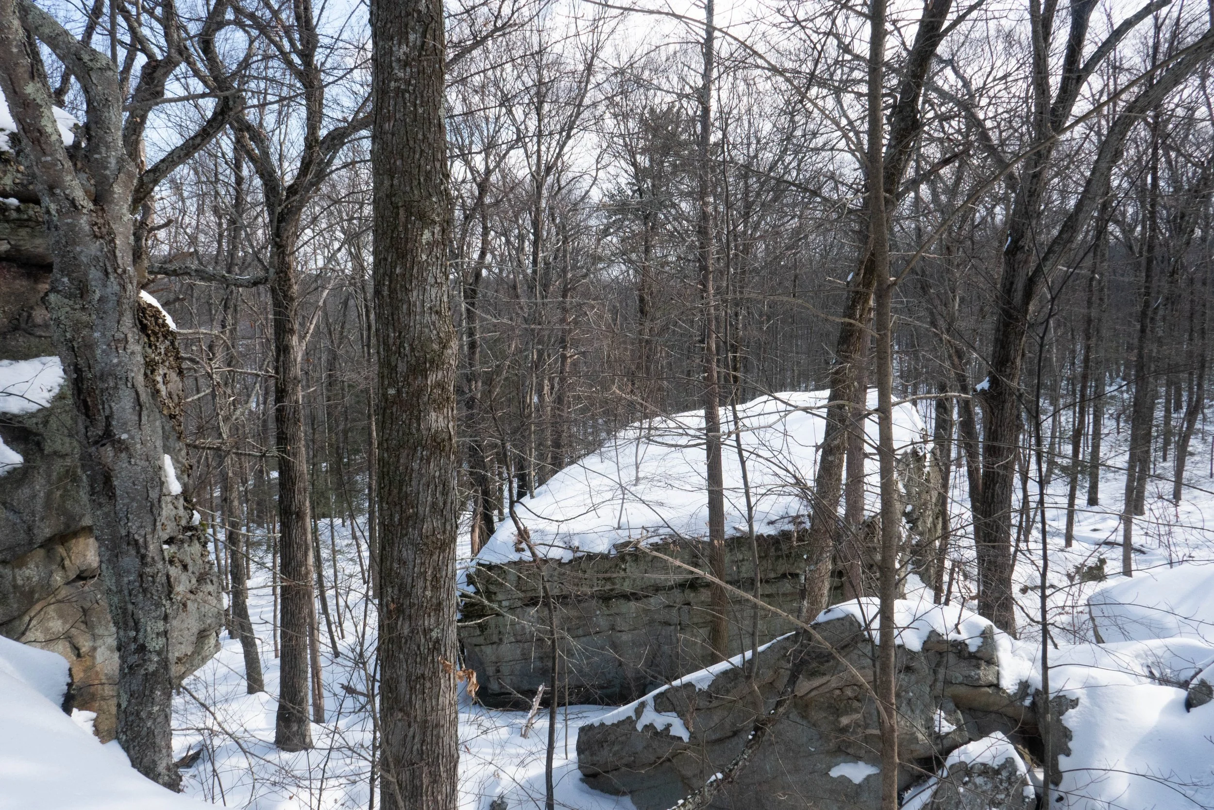
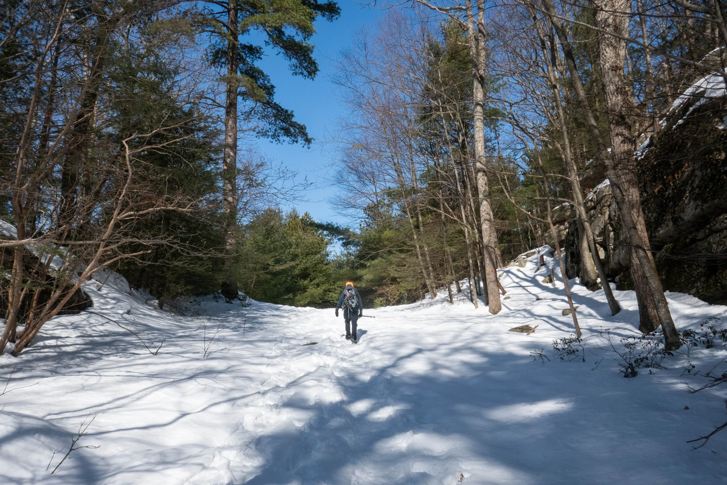
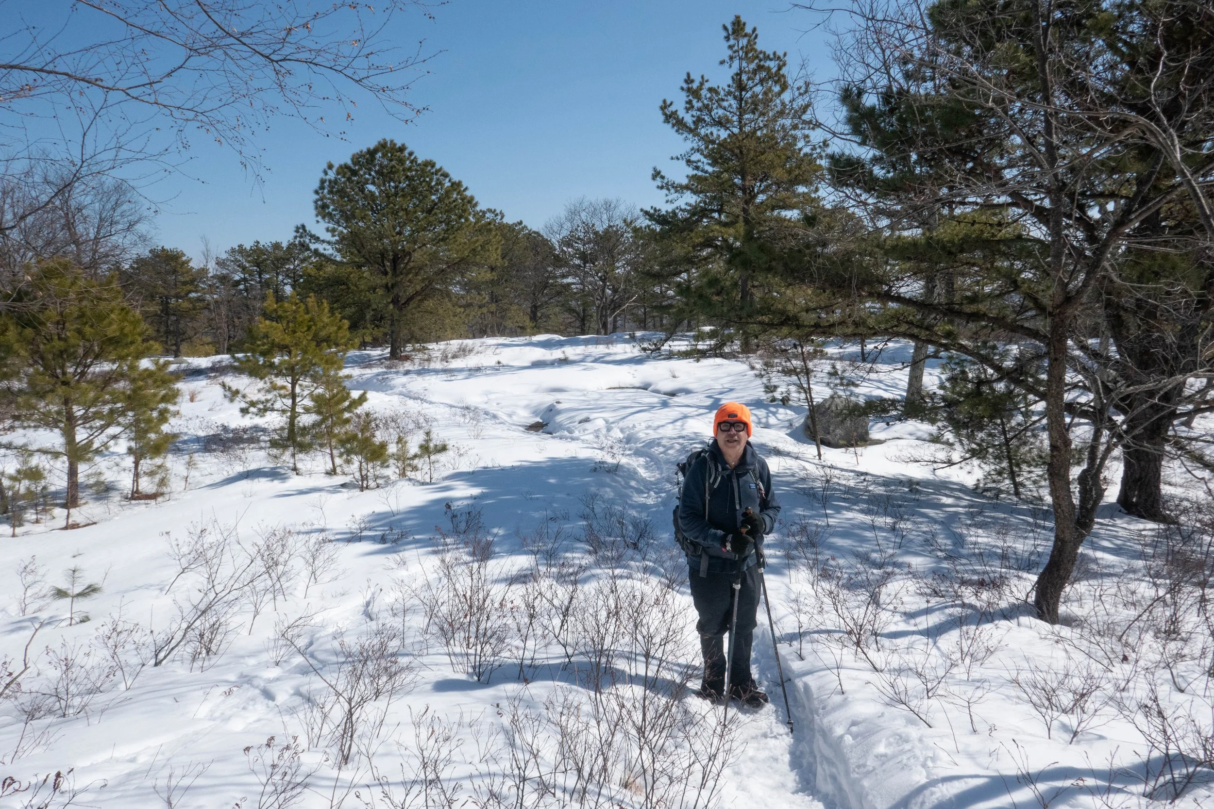
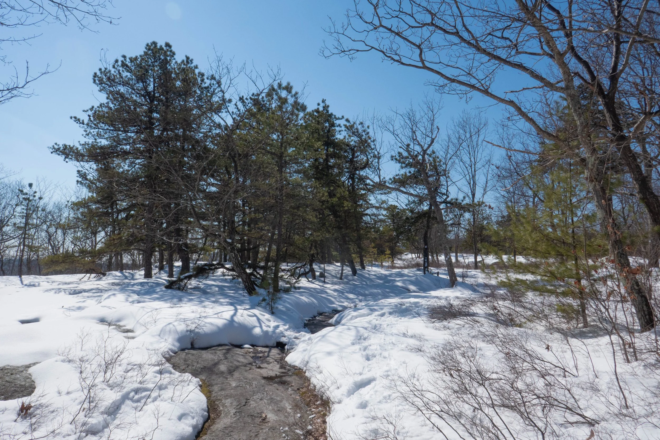
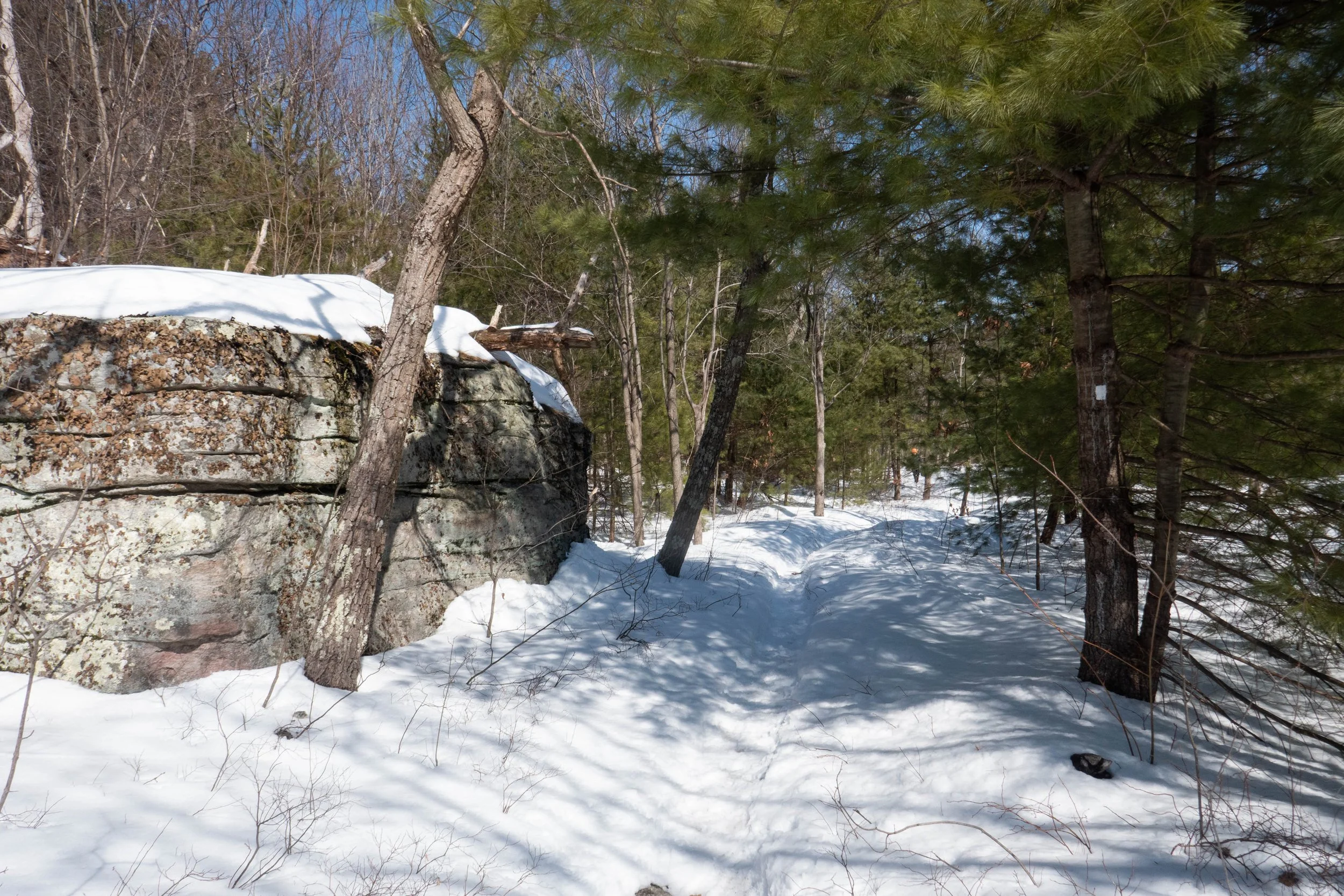
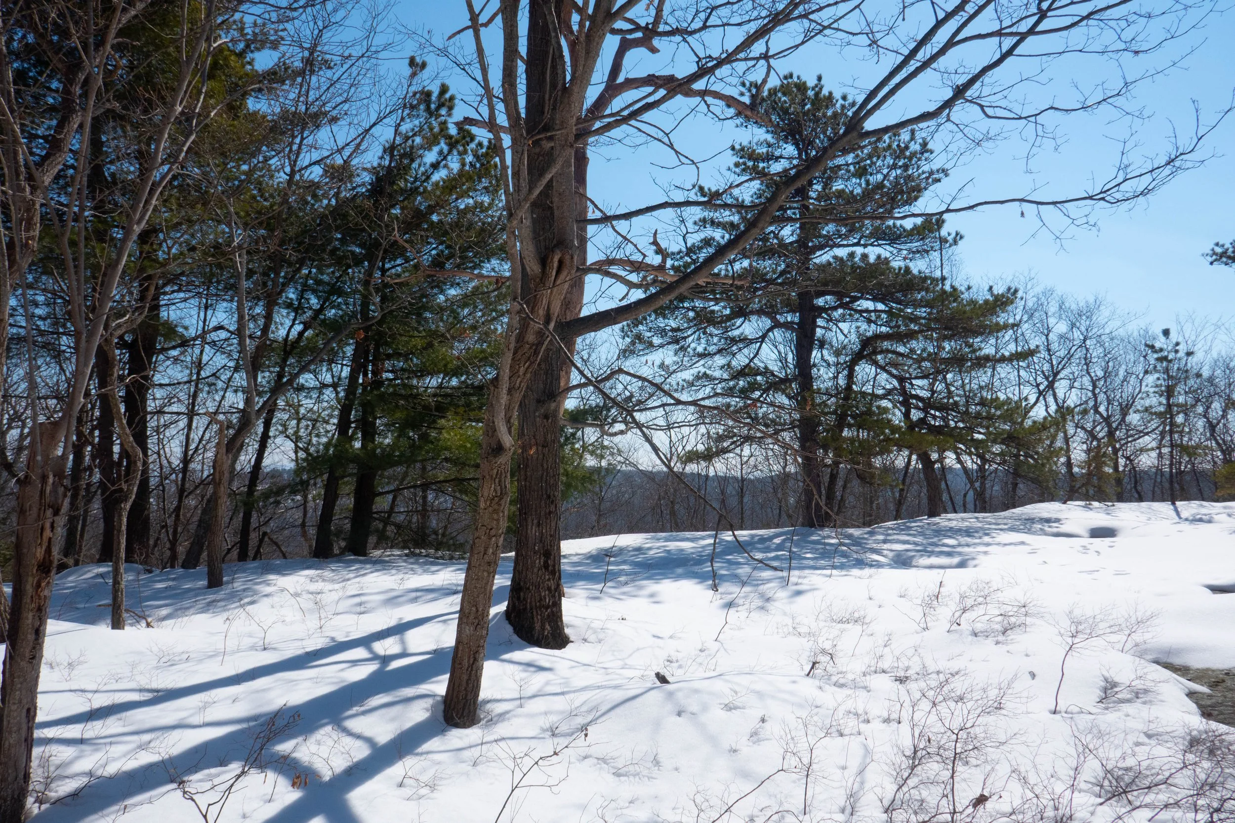
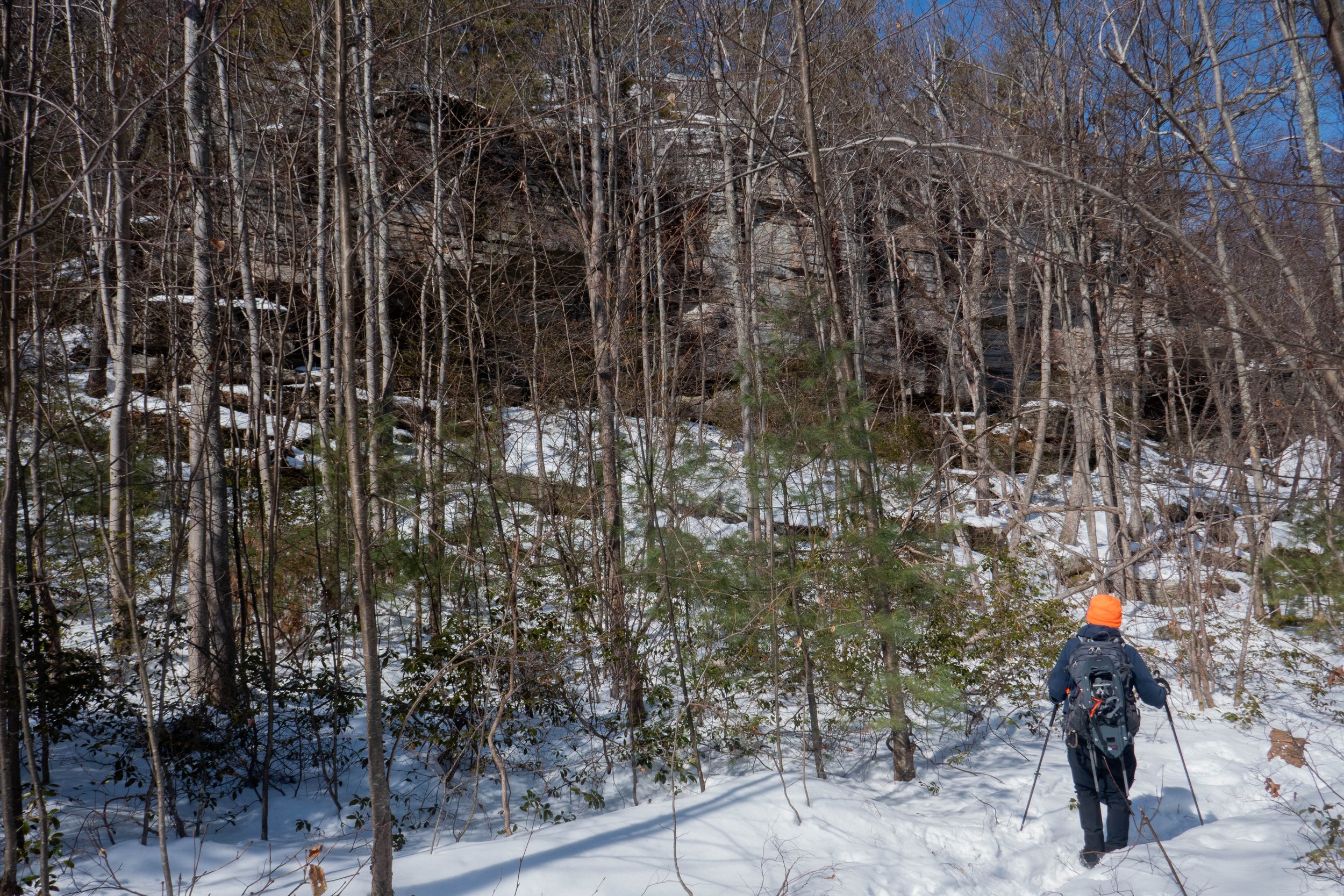
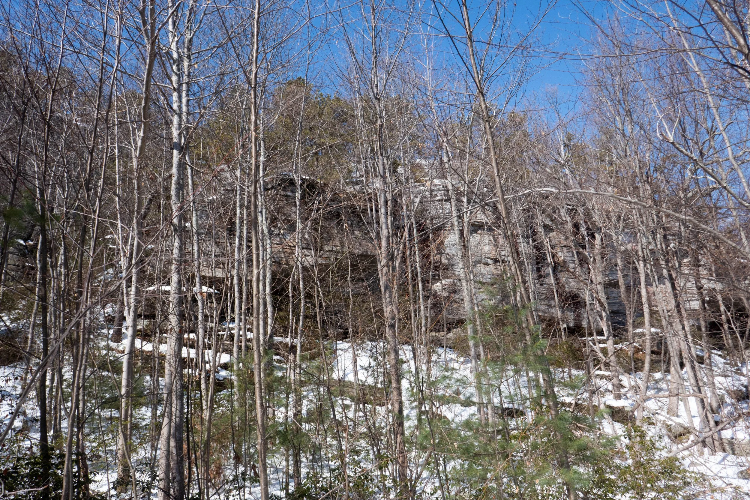
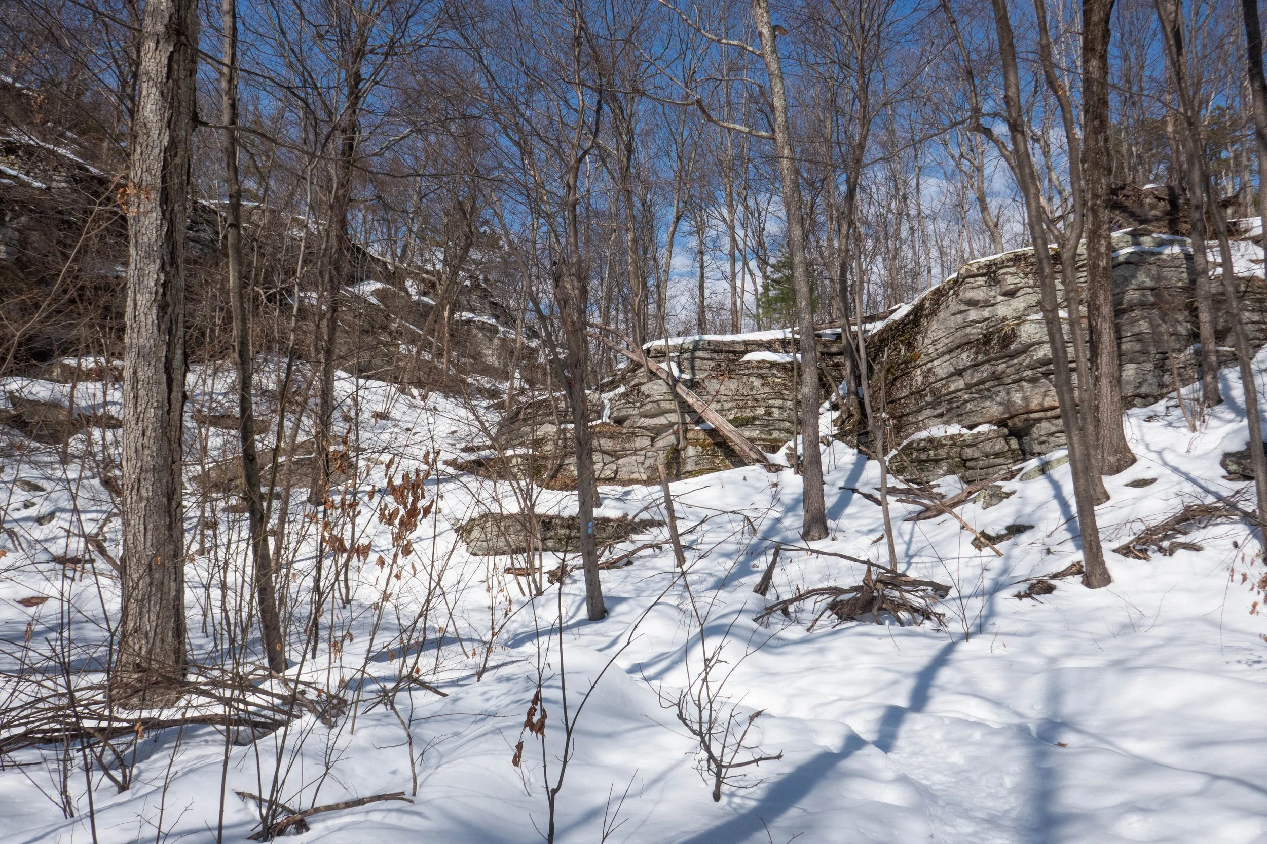
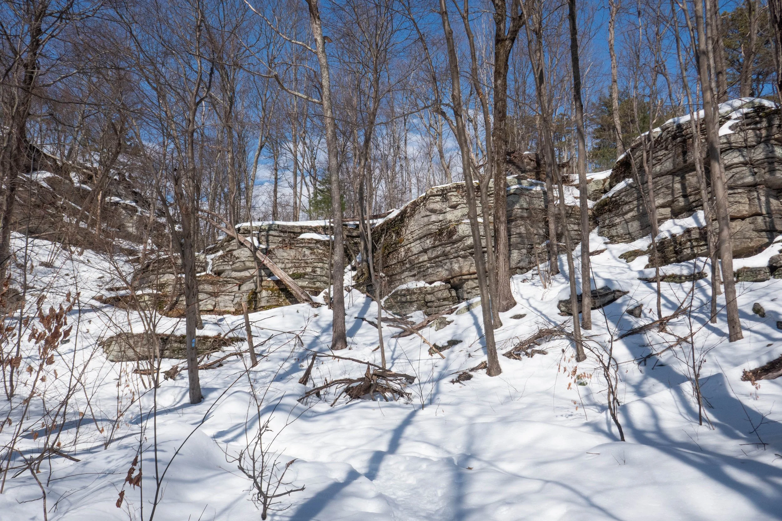
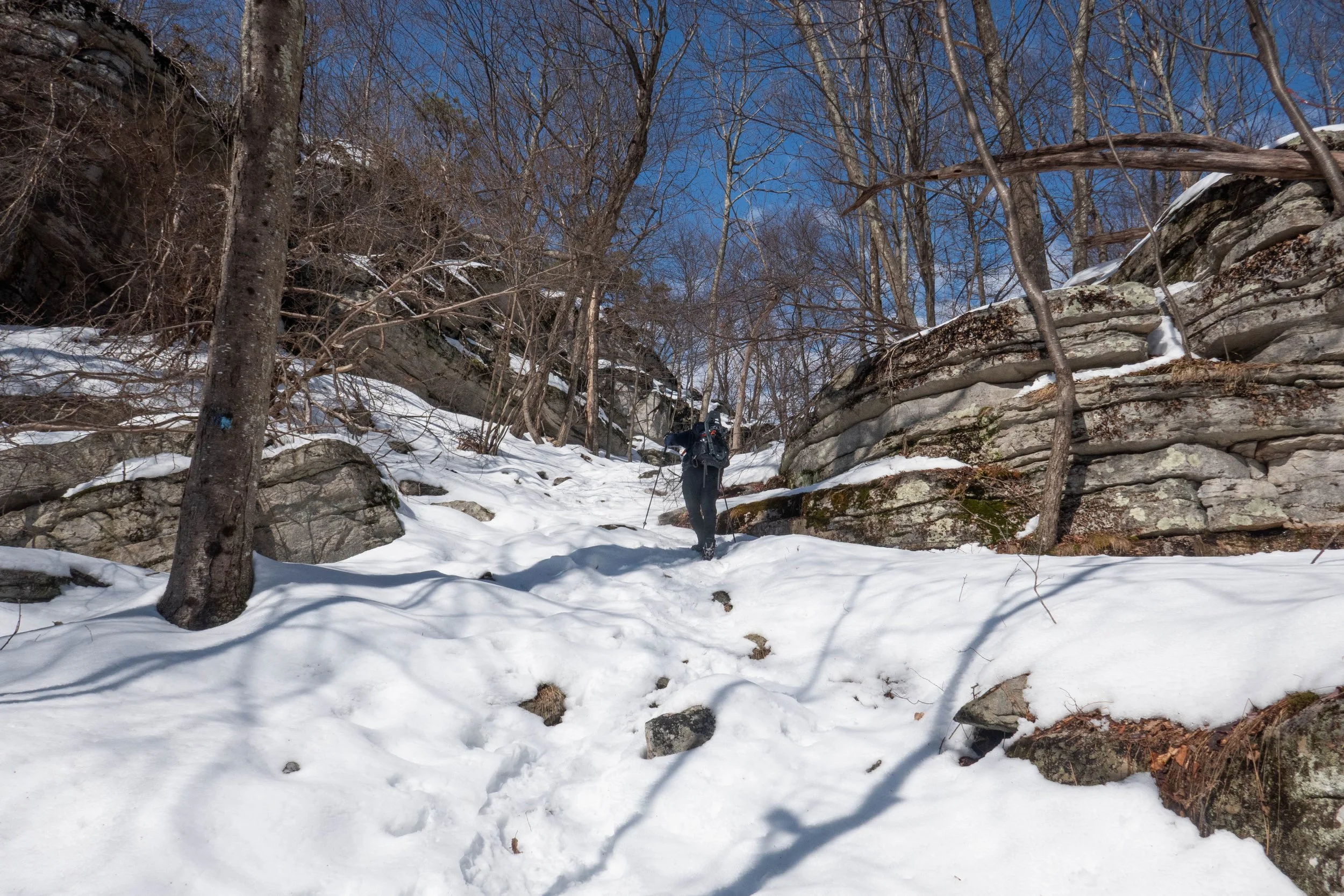
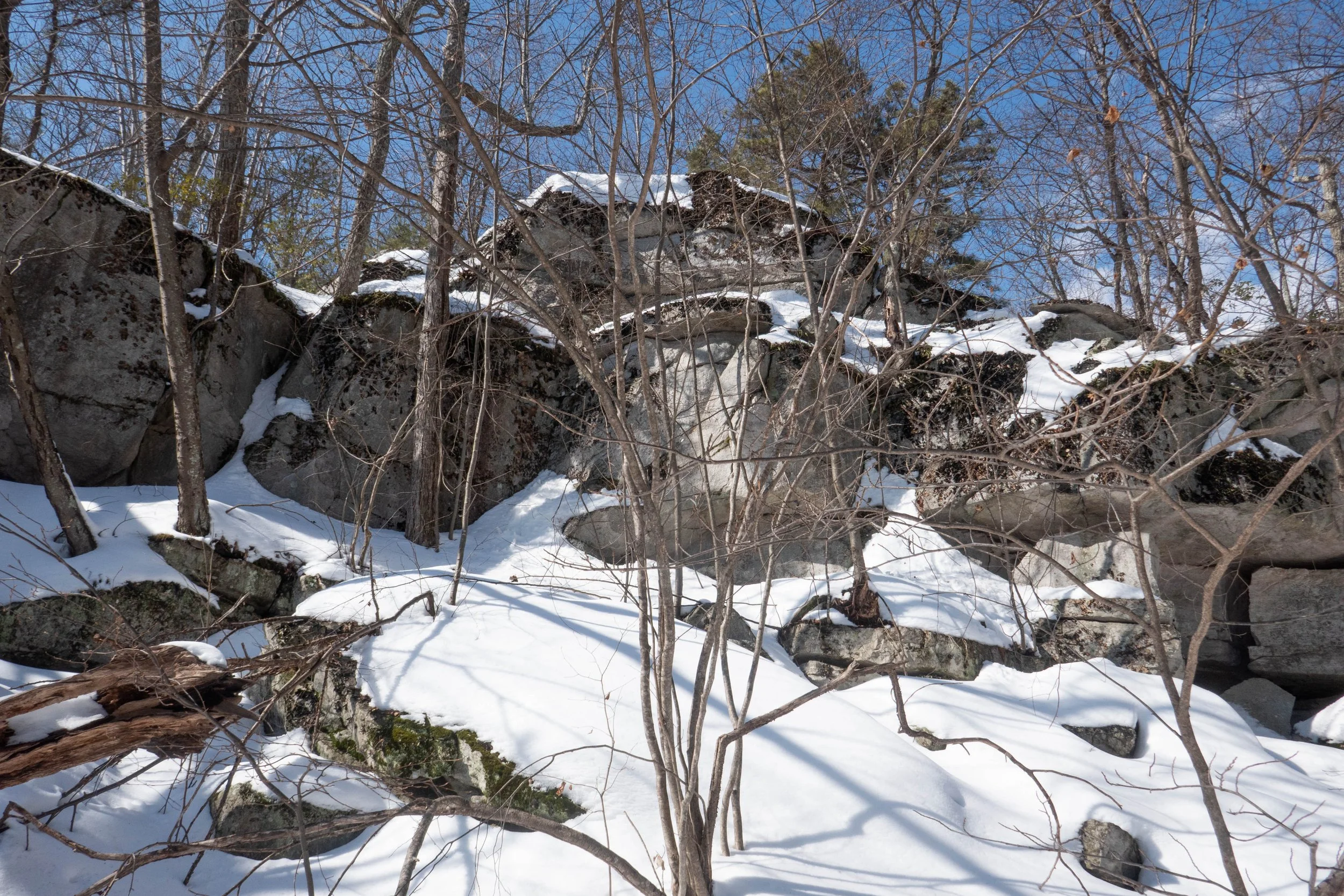
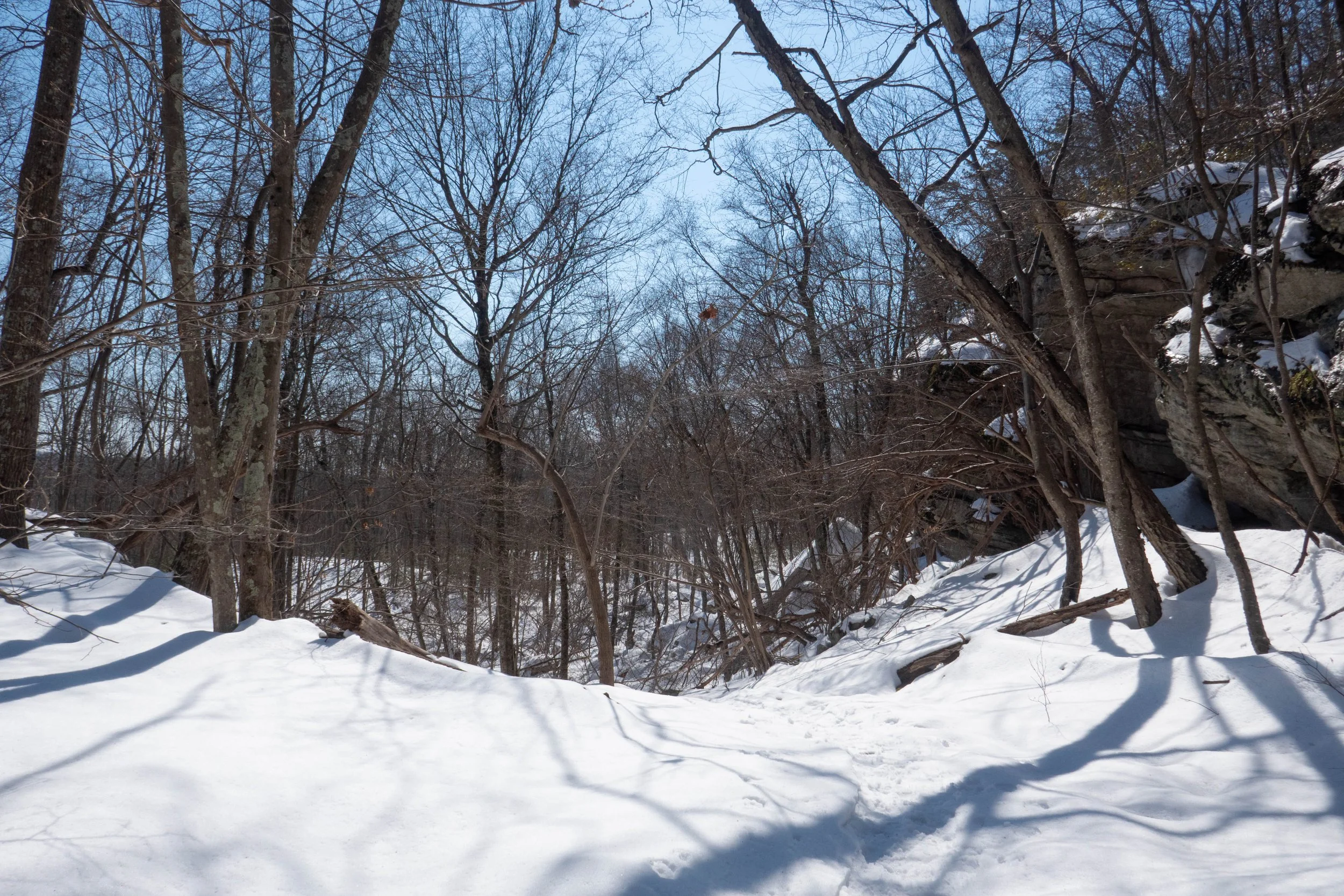
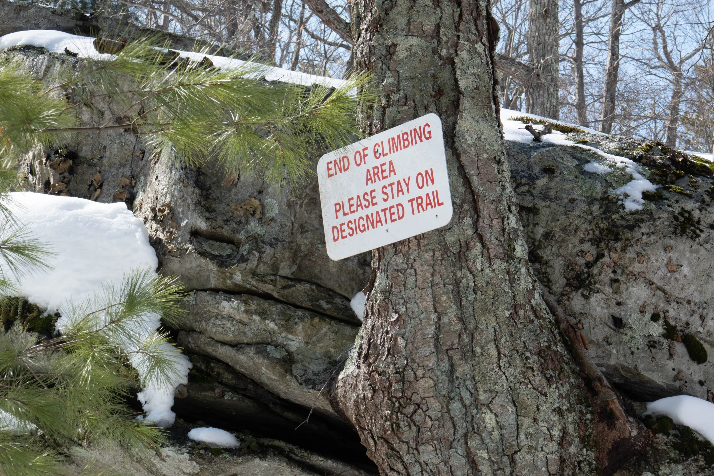
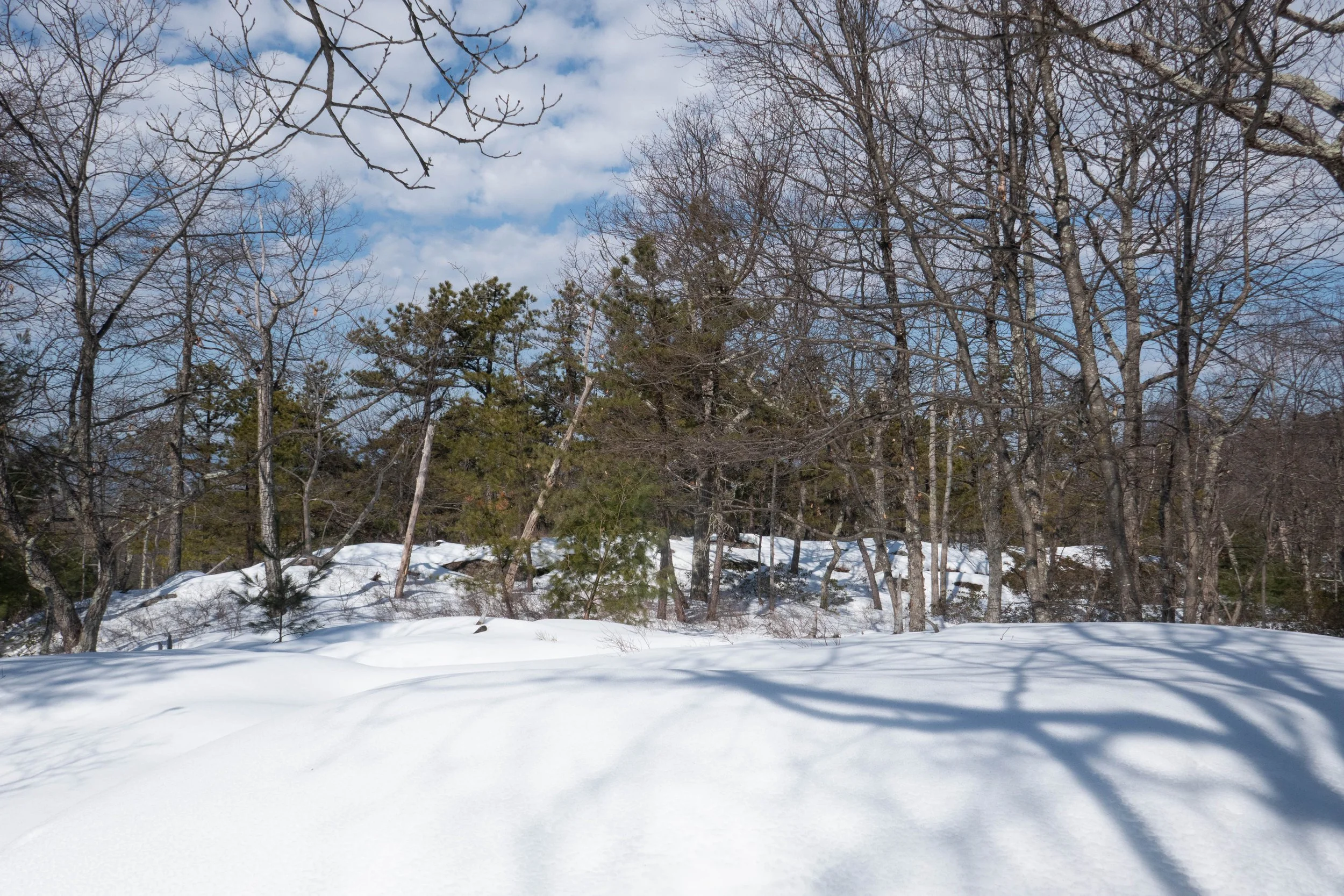
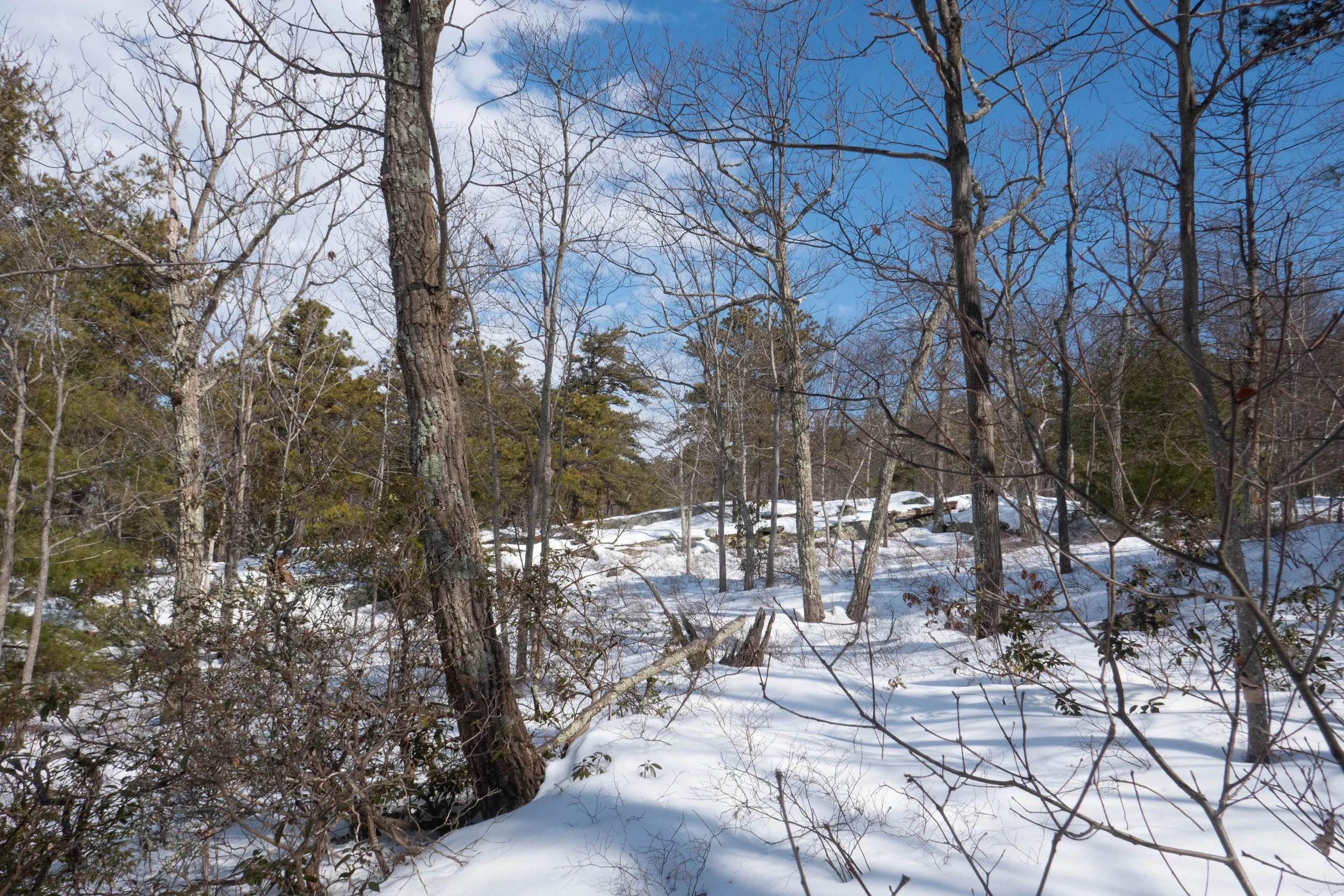
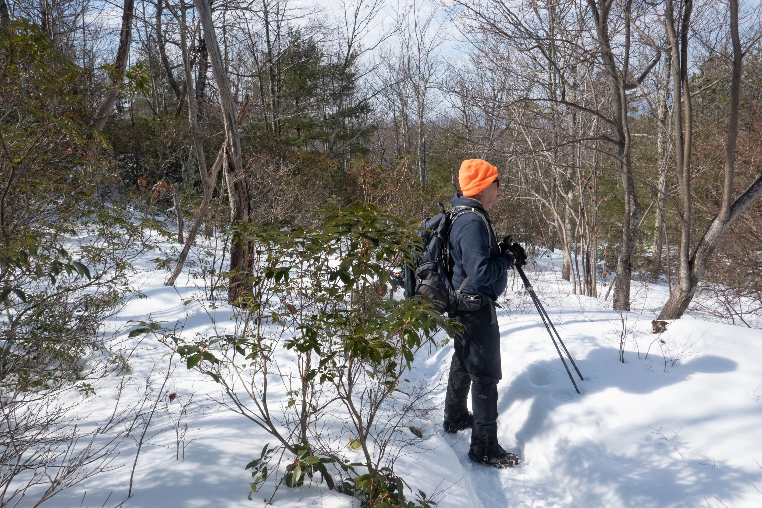
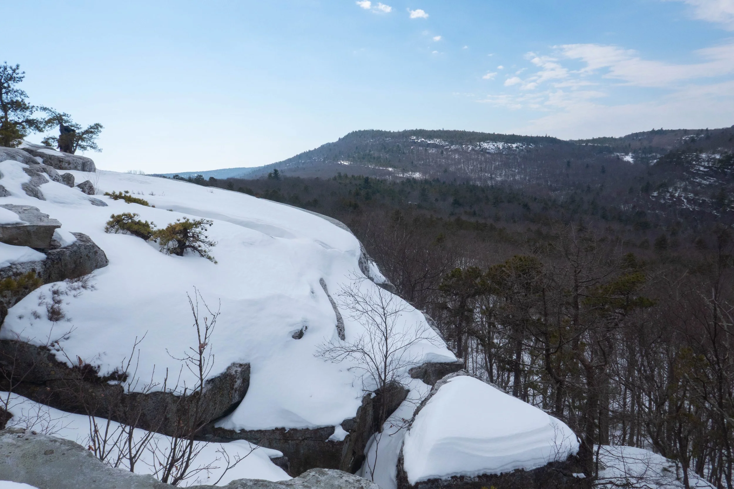
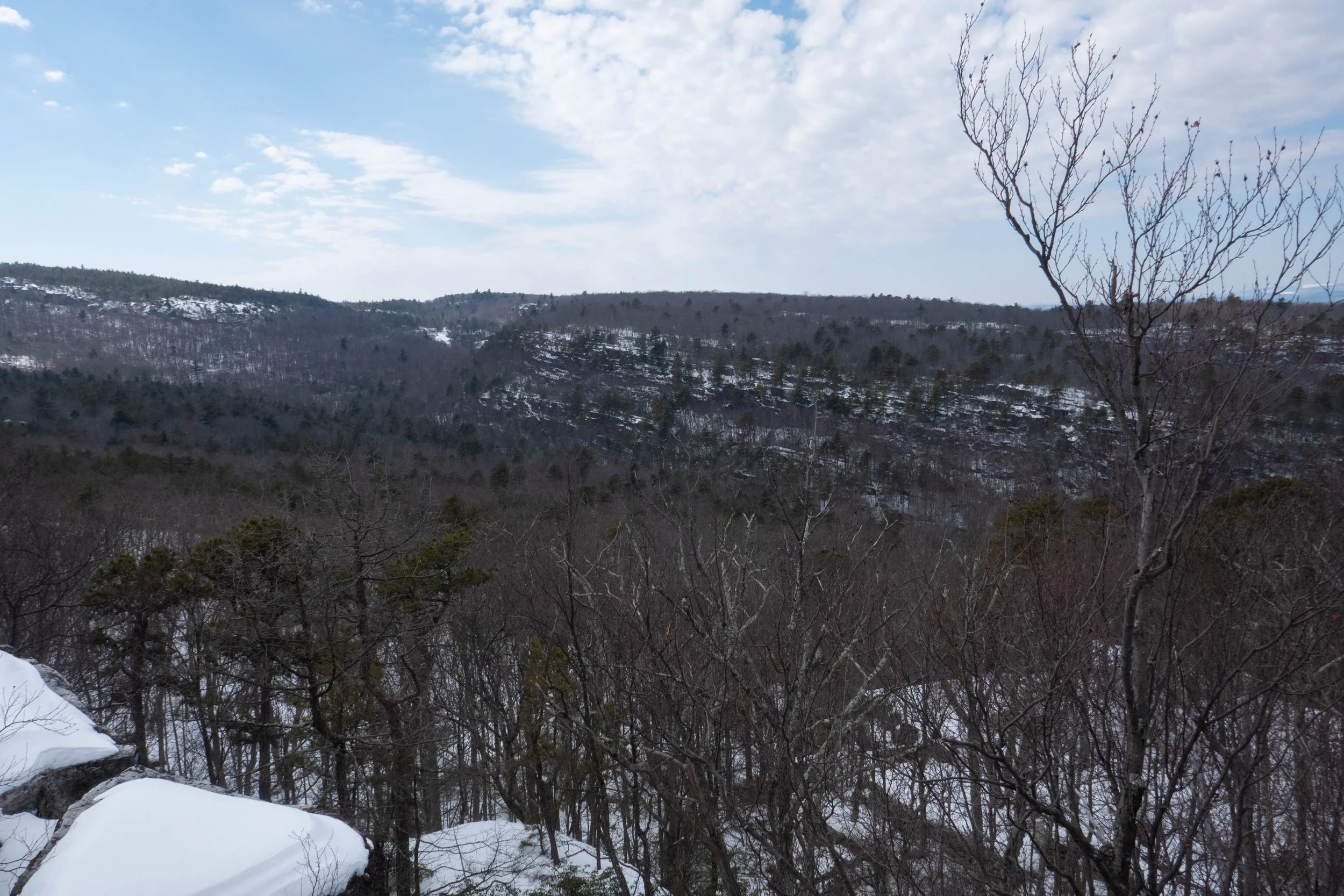
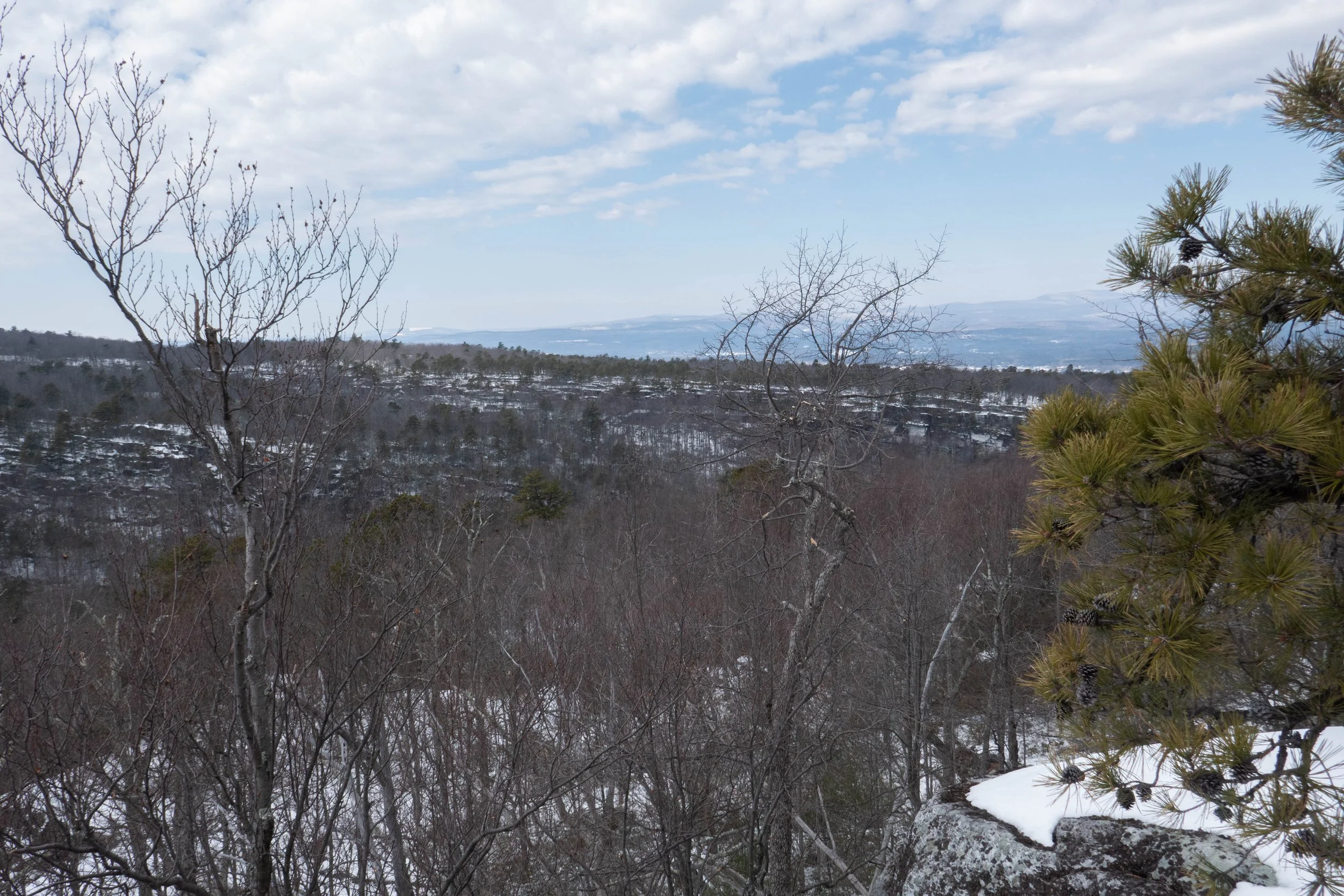
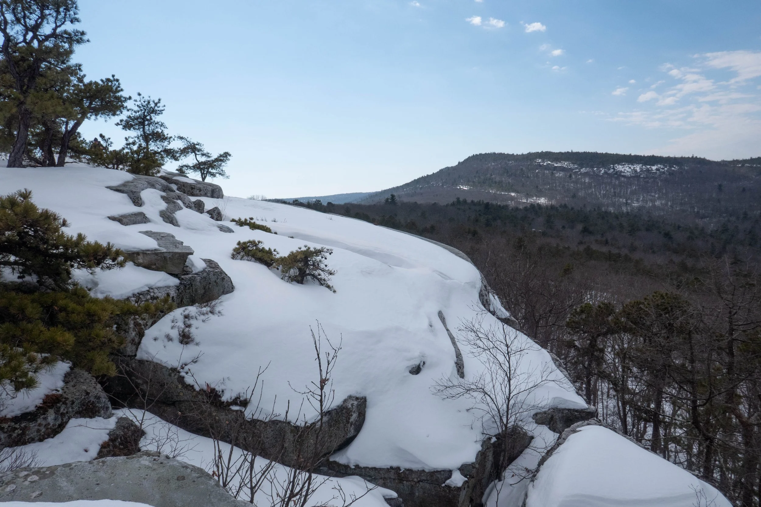
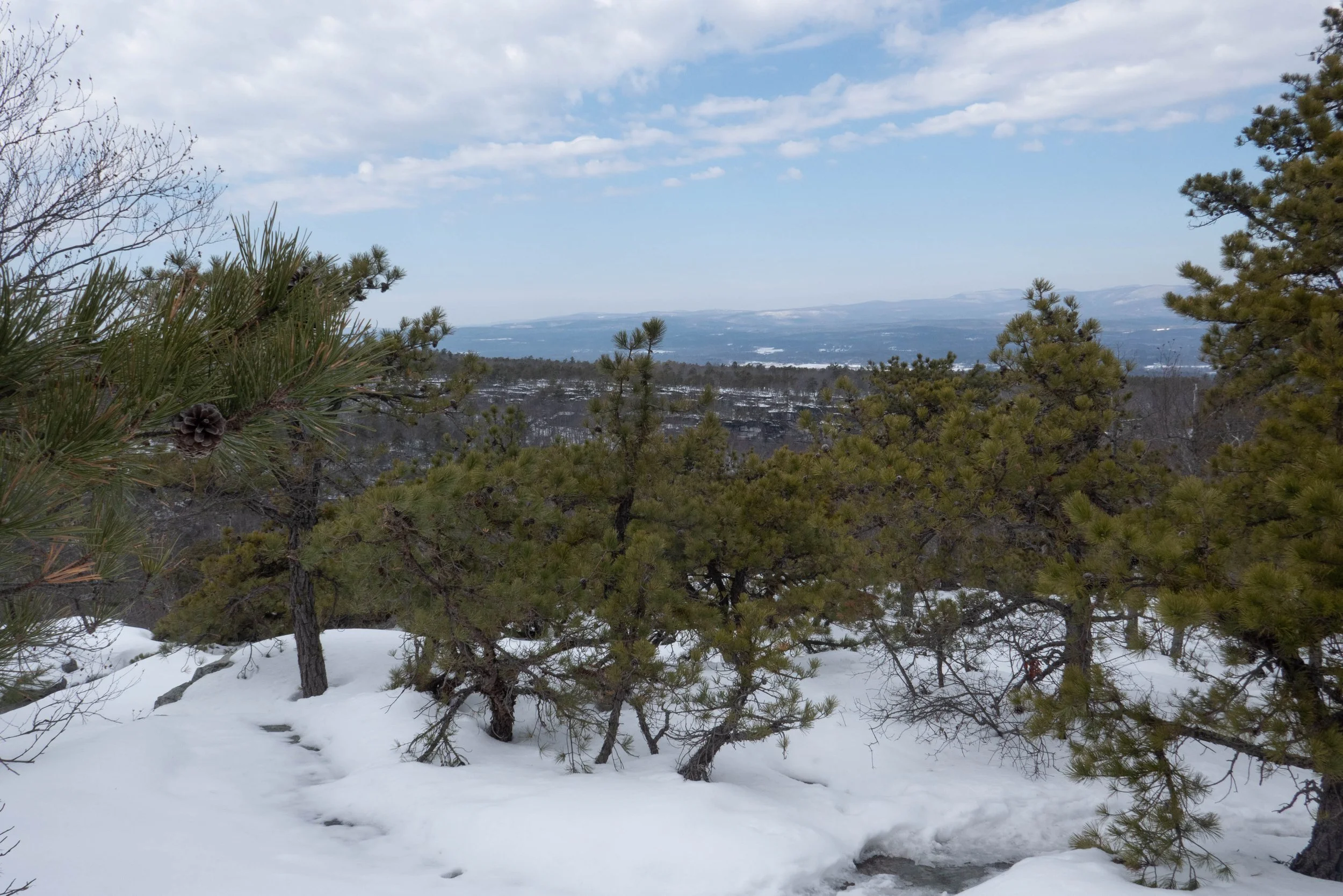
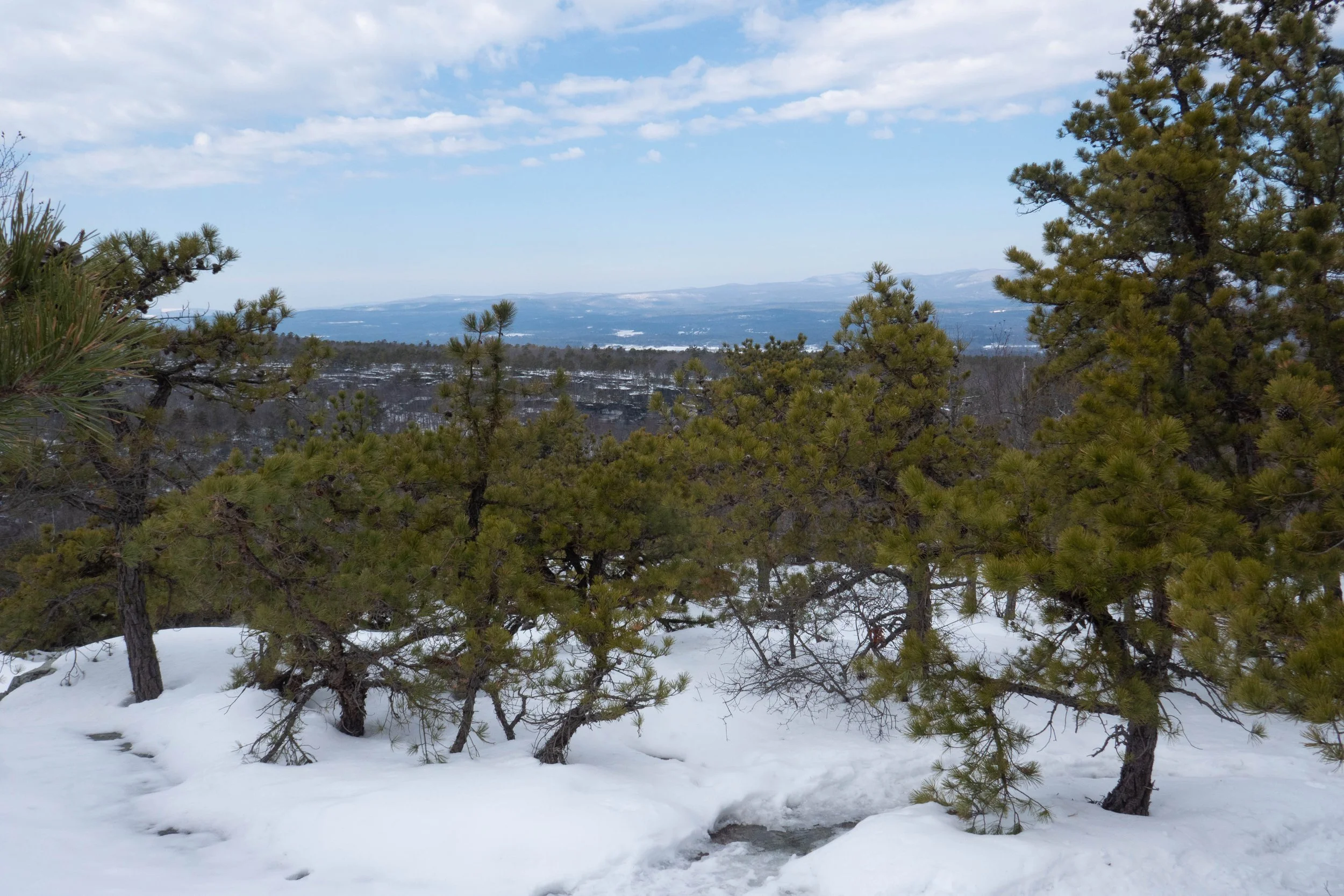
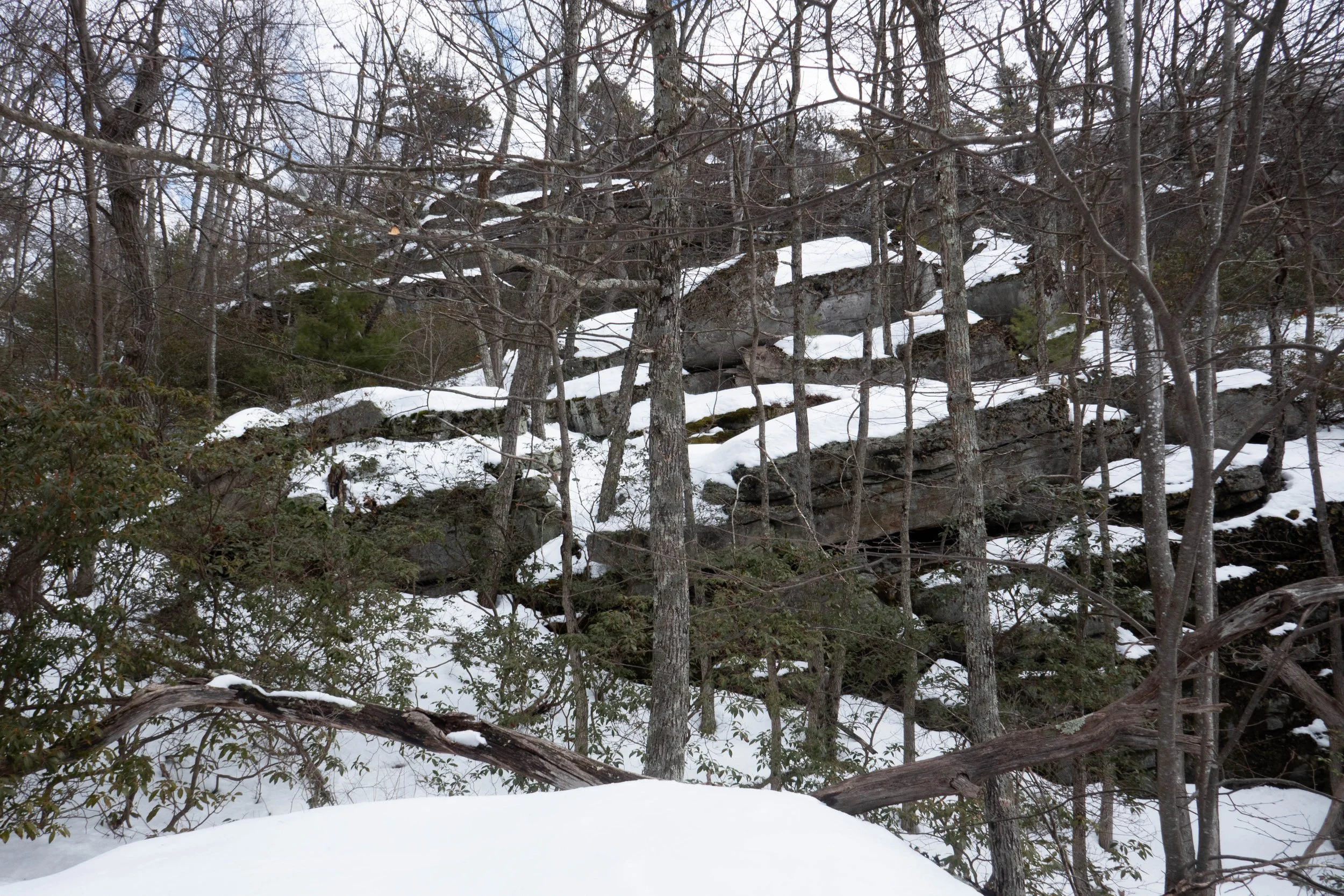
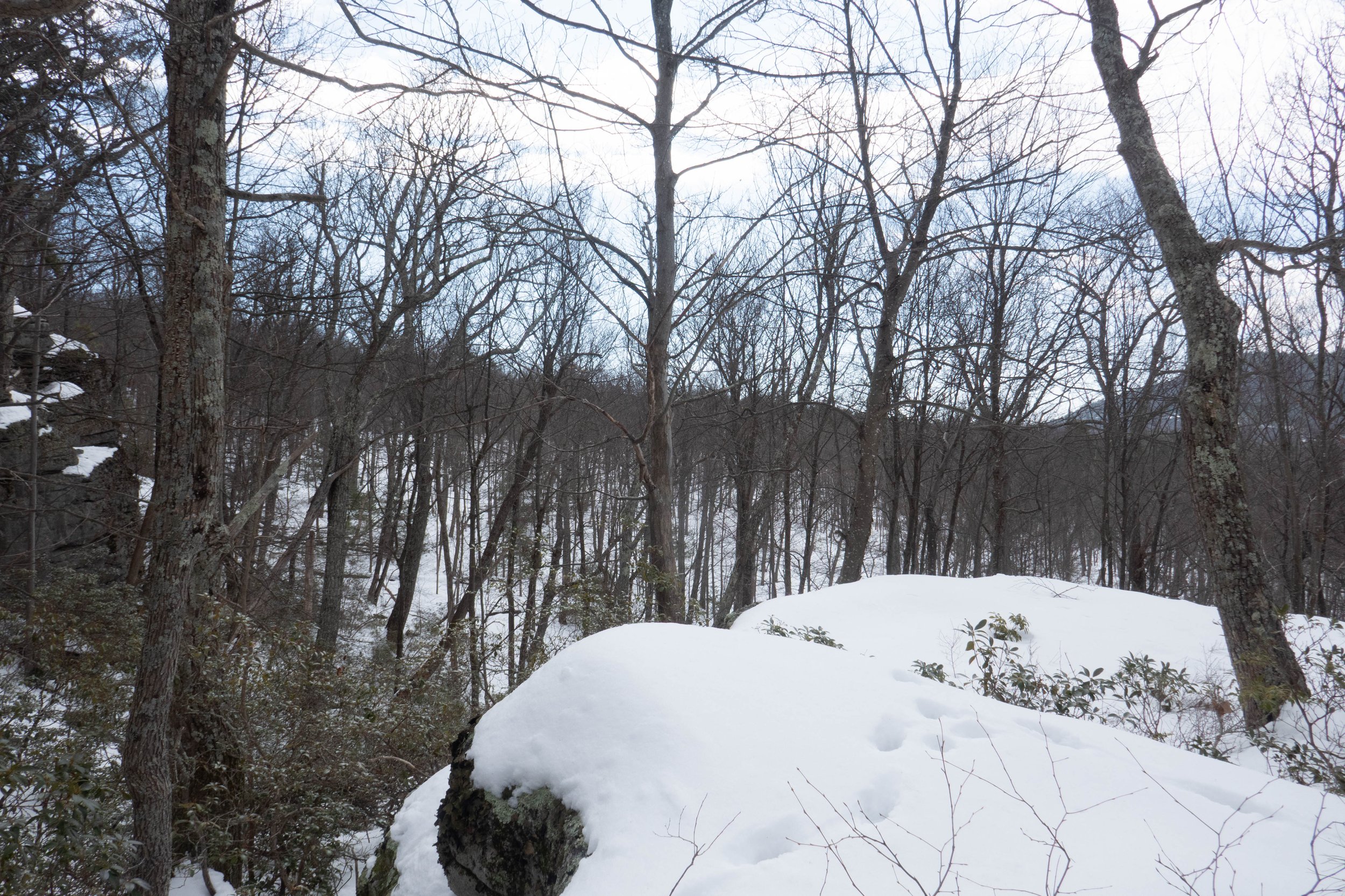
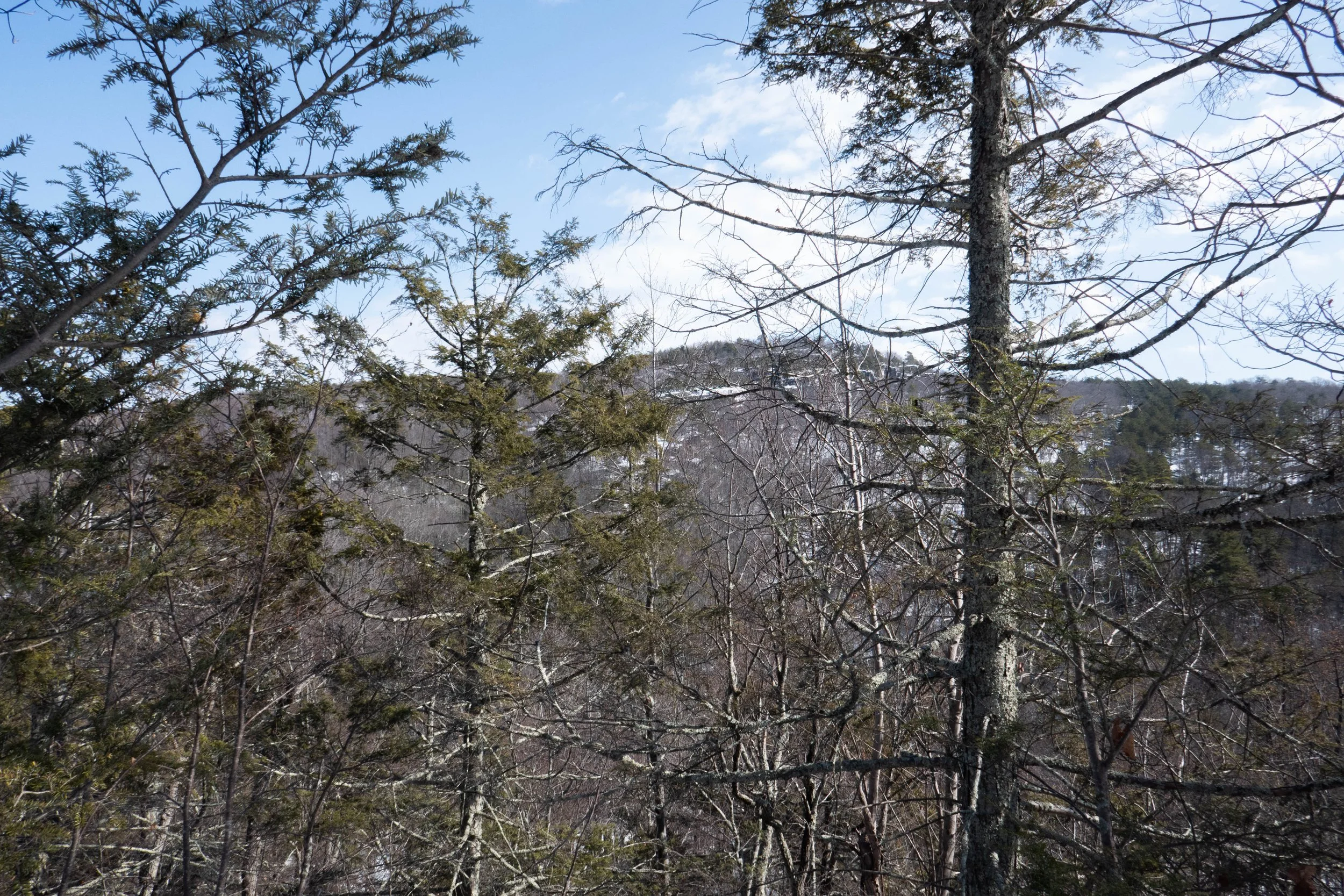
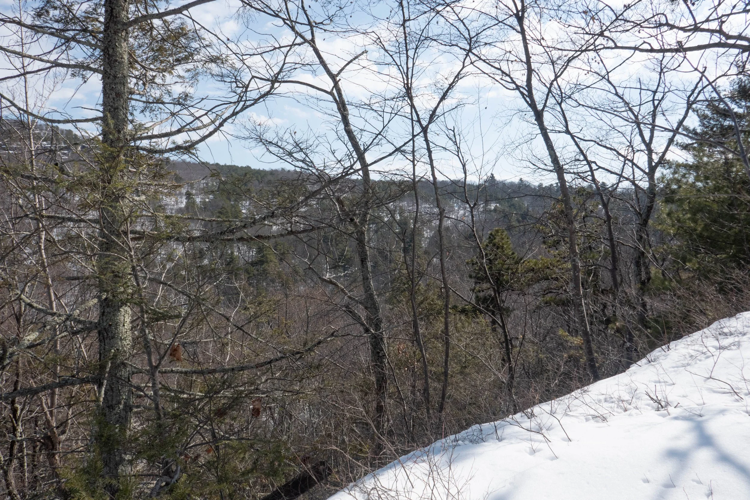
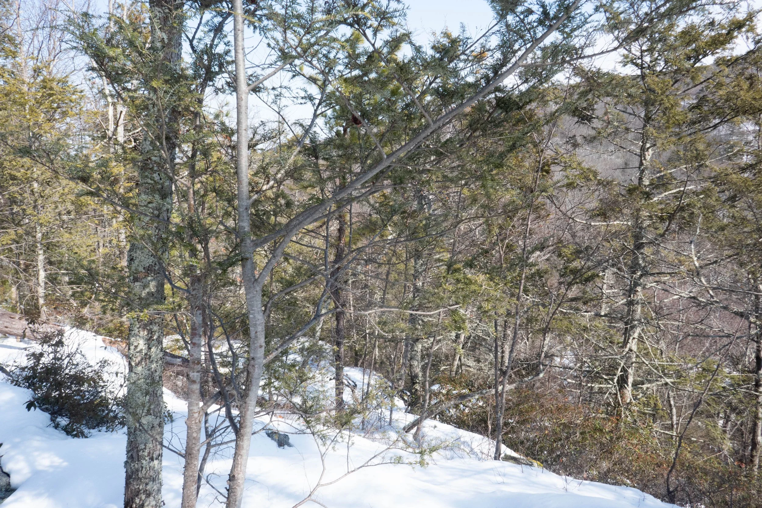
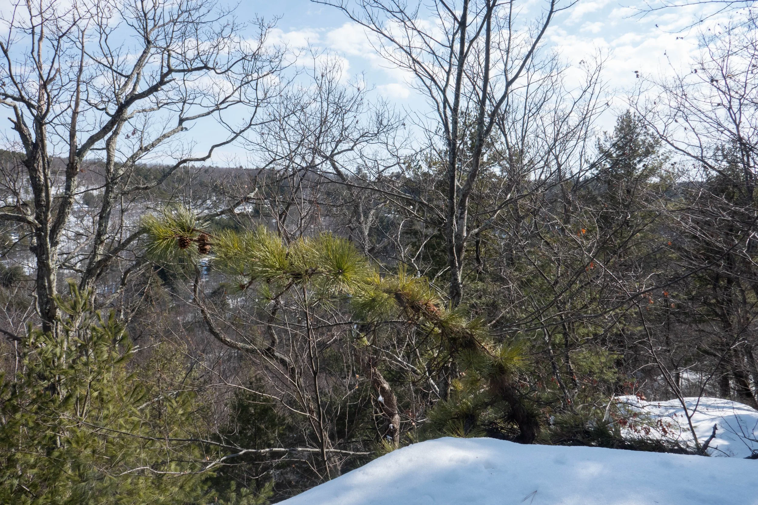
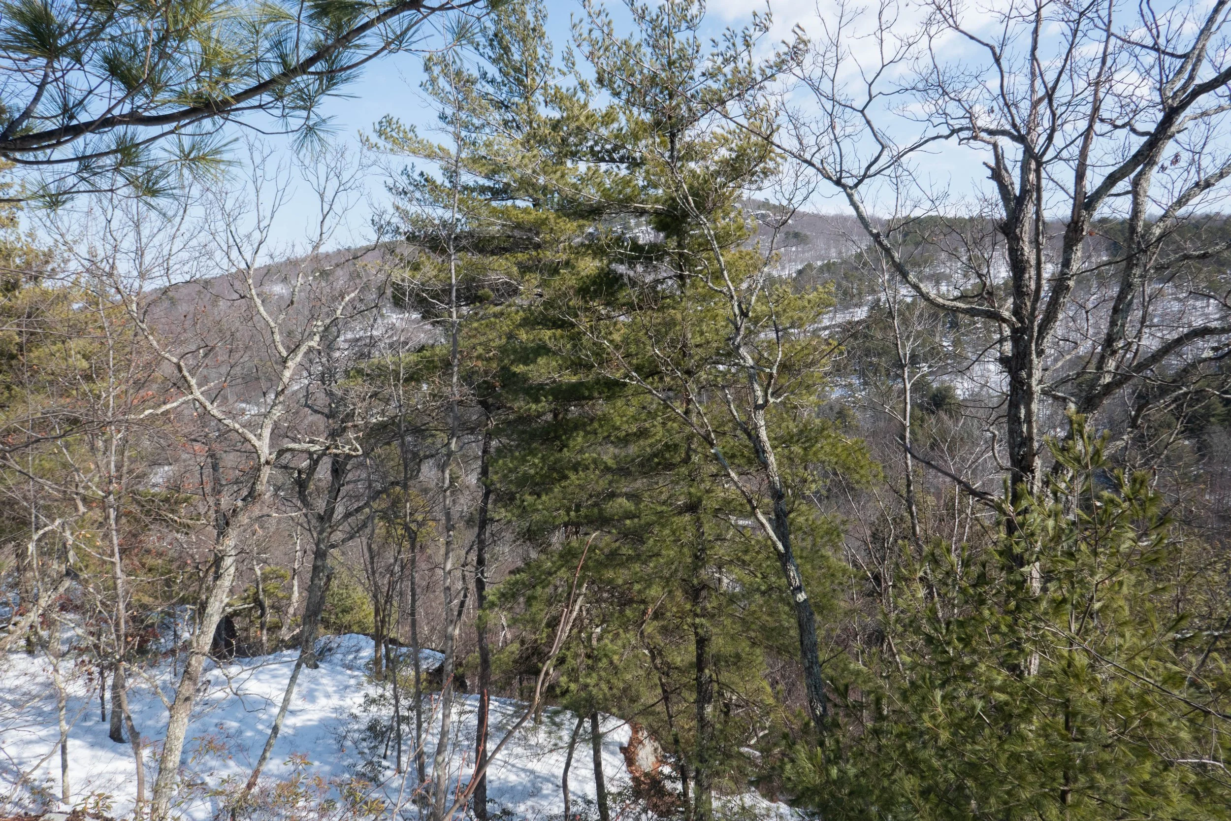
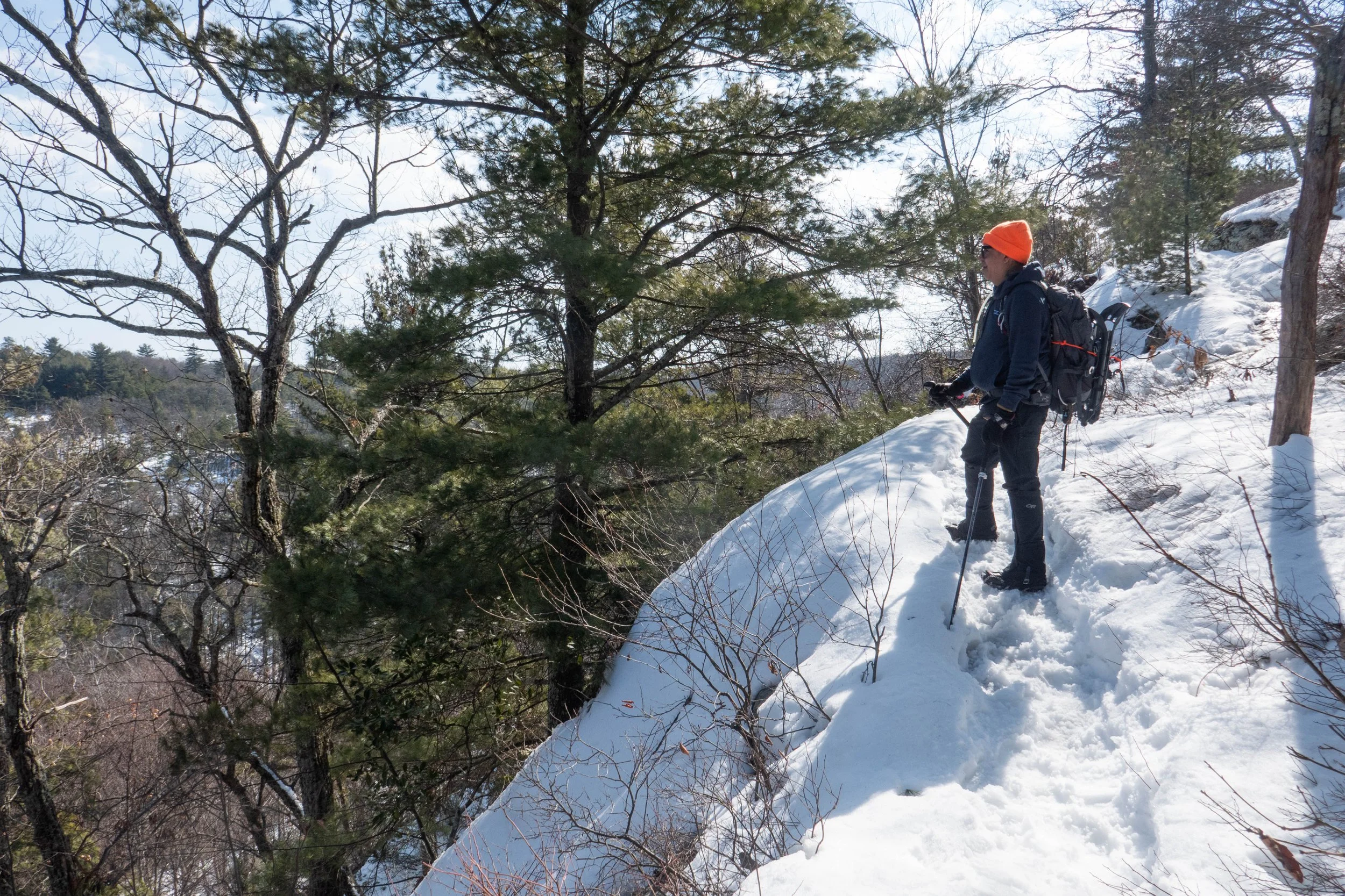
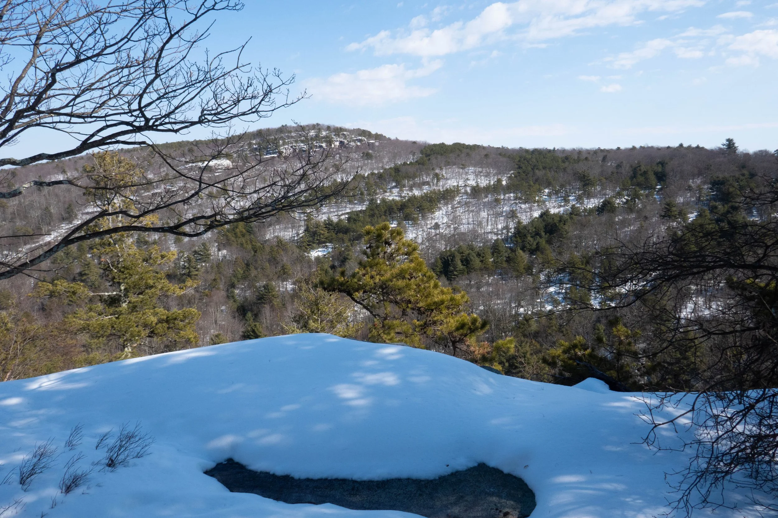
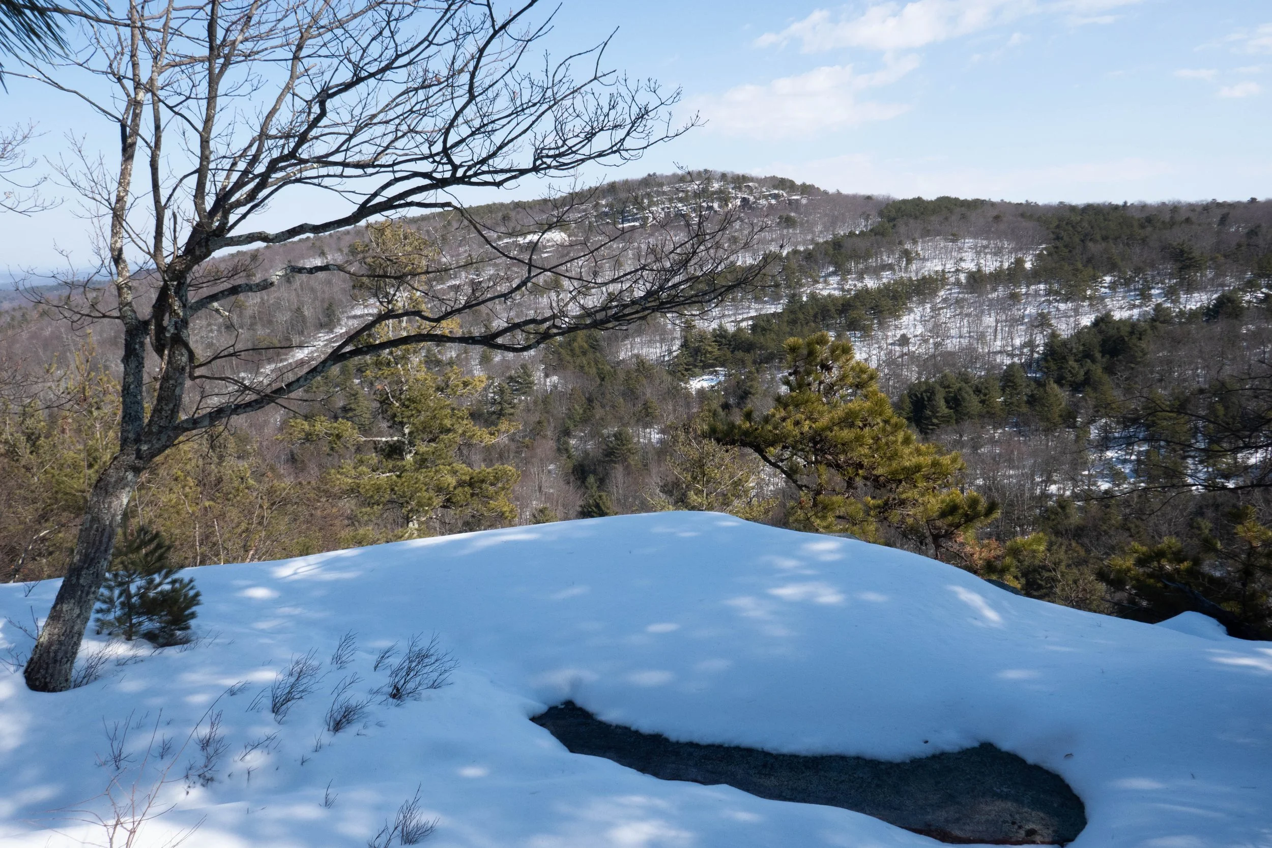
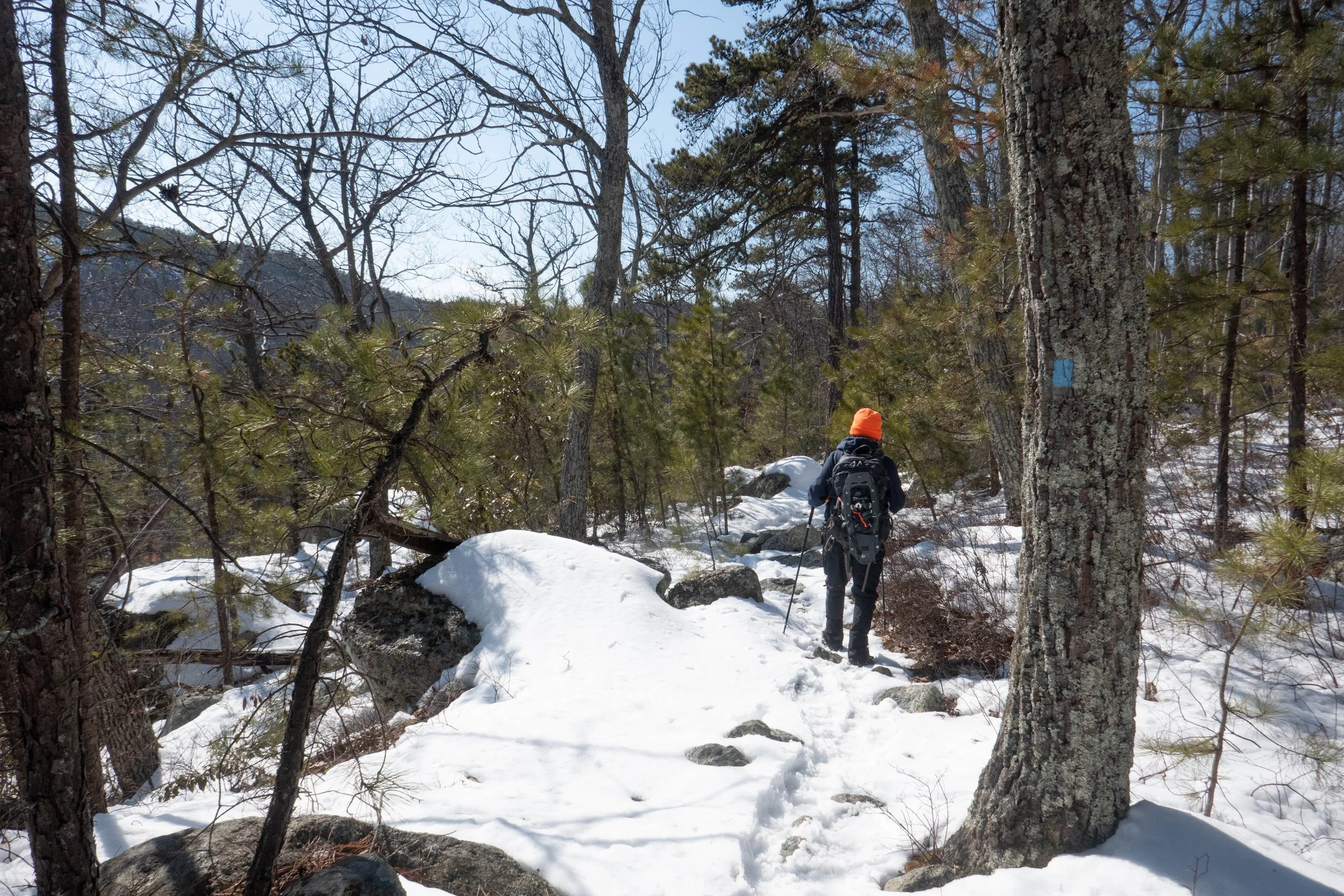
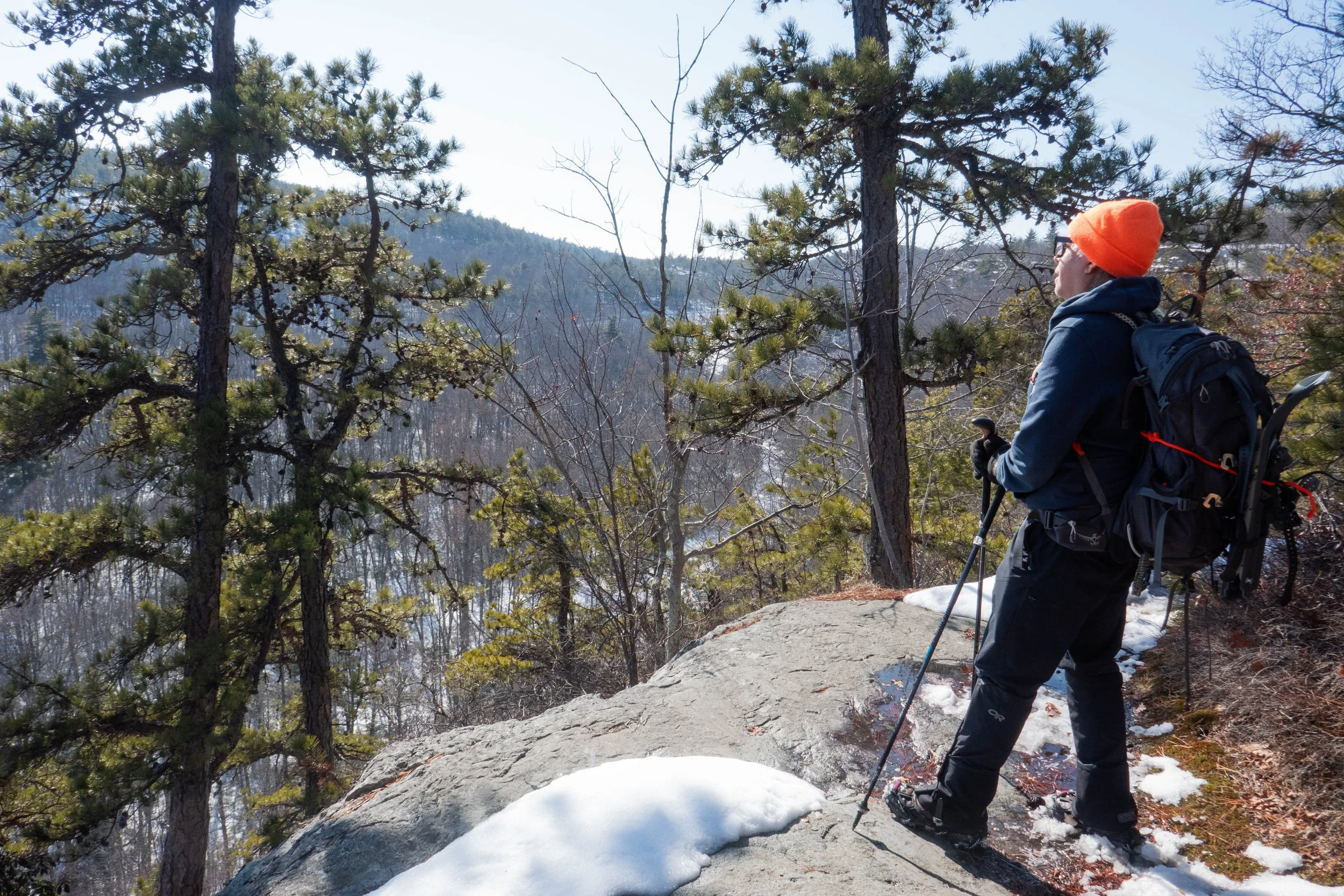
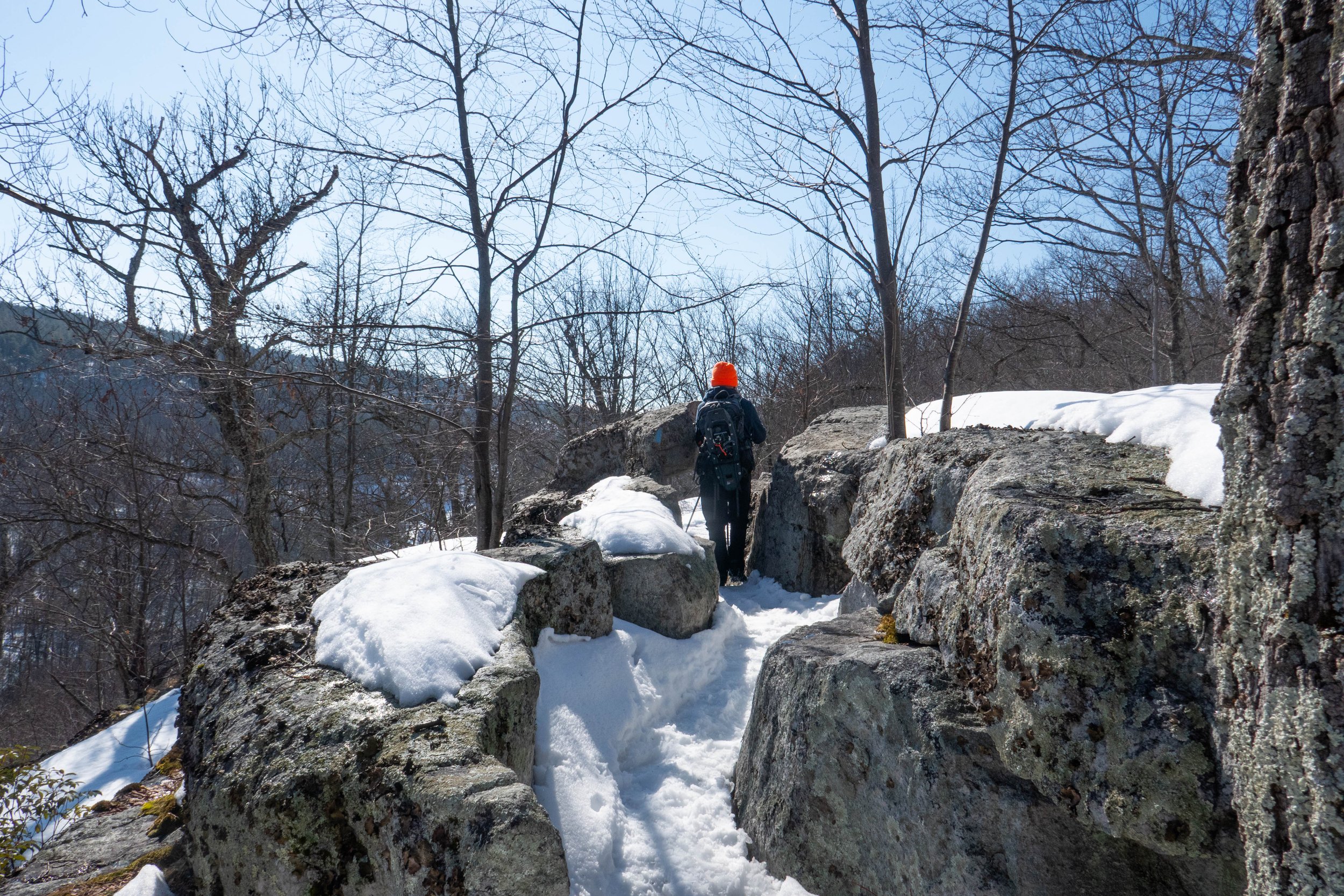
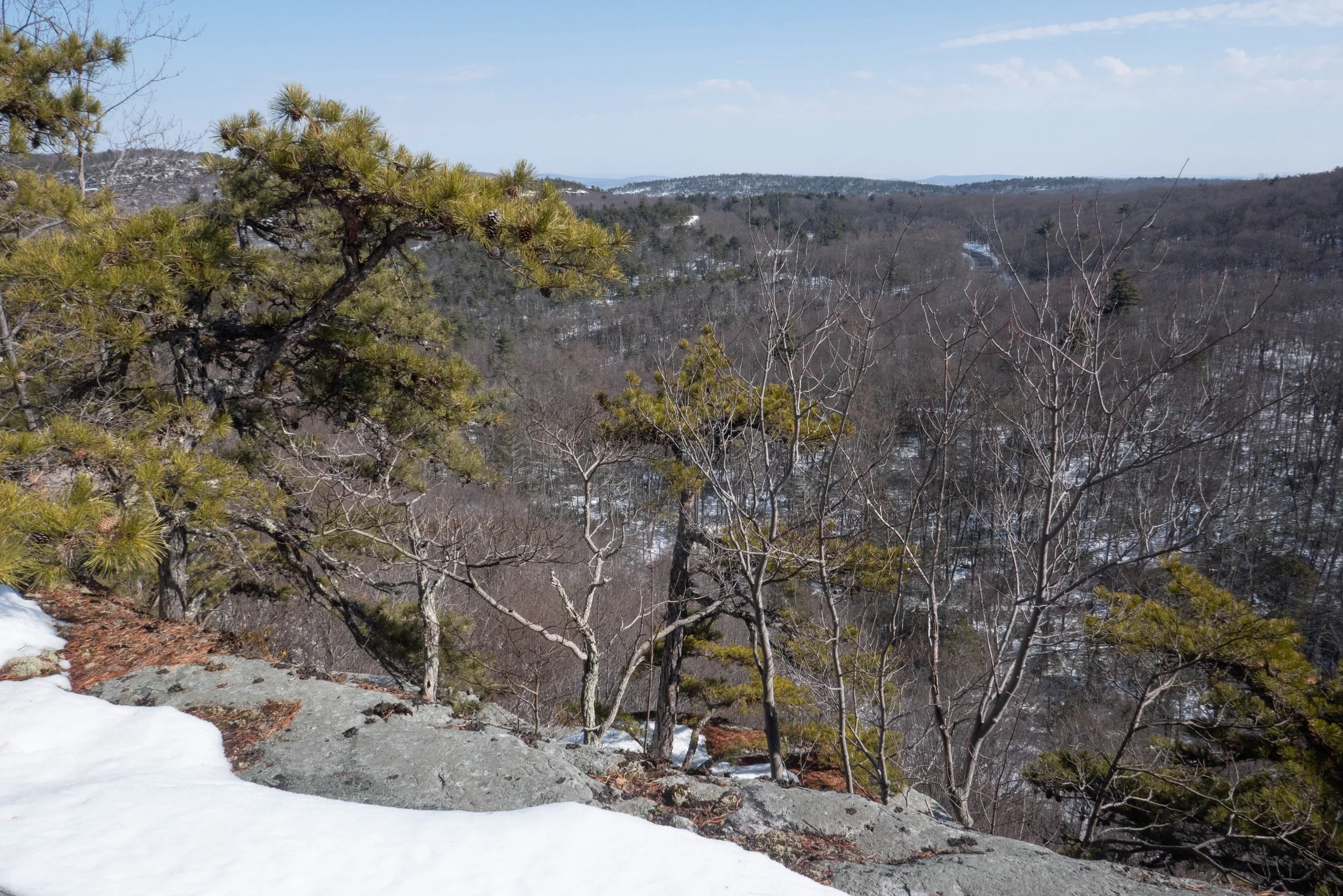
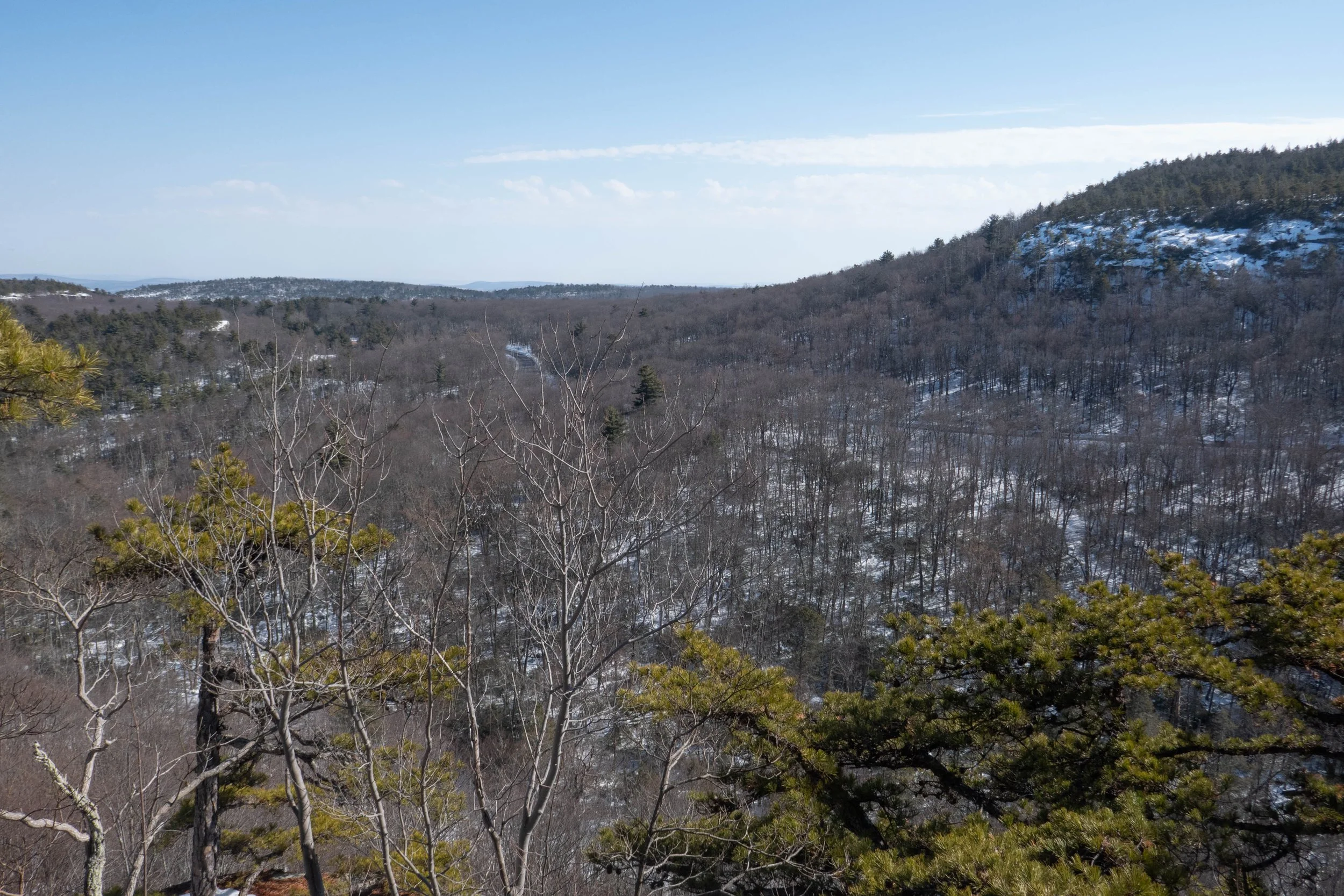
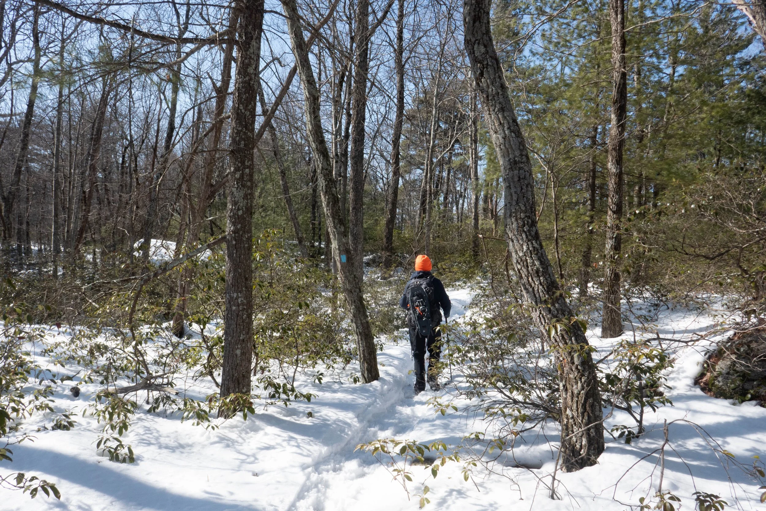
We continued past the impressive cliffs of Dickie Barre, where the Bull Wheel Trail ends and connects with High Peter’s Kill, which also follows the route of the Shawangunk Ridge Trail. We climbed through a notch in Dickie Barre, followed by another descent, and eventually reached an open area where pitch pines grew on the exposed rock ledges at Compass Rock. The views here were incredible, and we could see far north all the way to the Catskills. I pulled out my PeakFinder app to identify some of the high peaks.
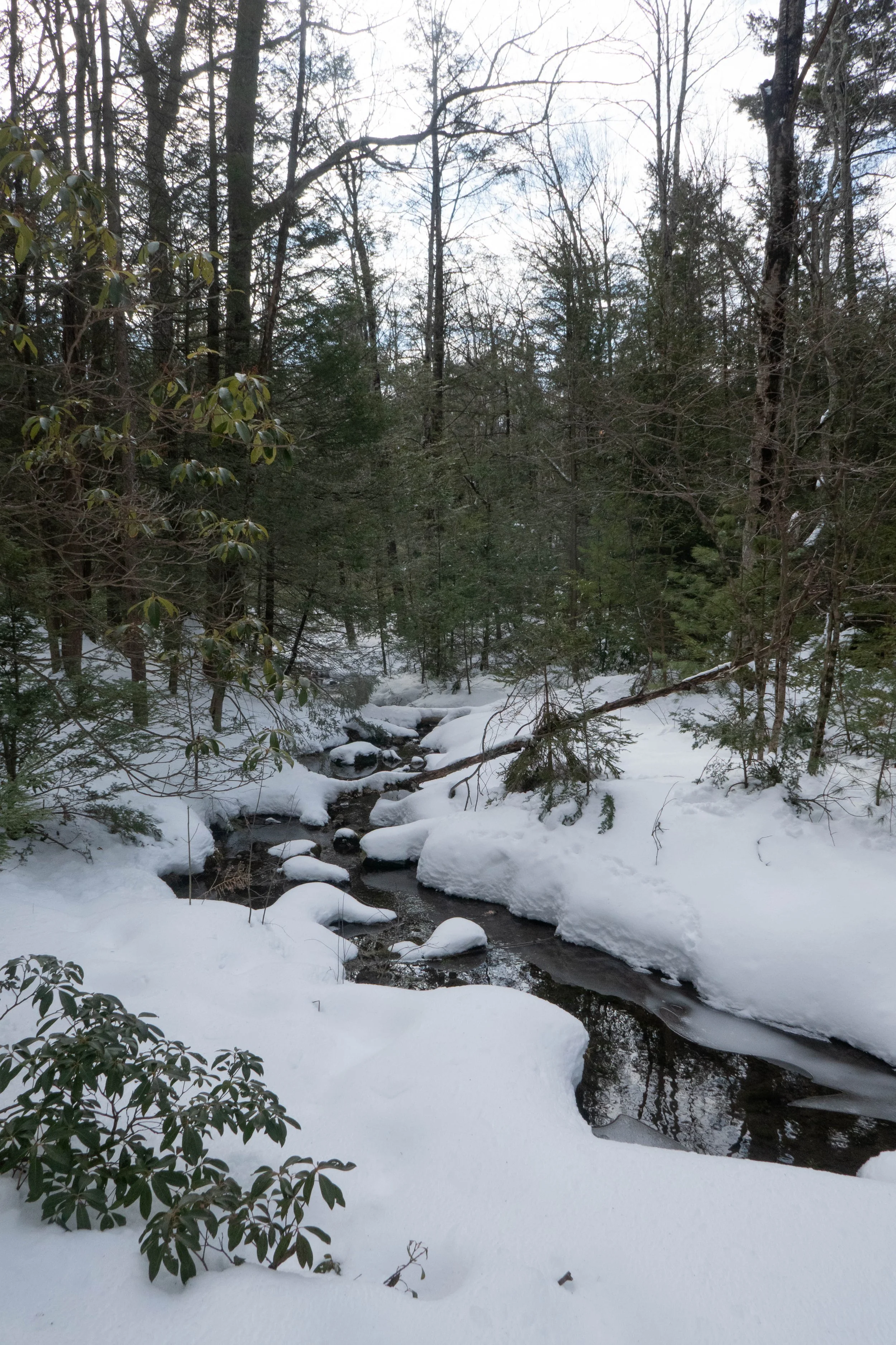
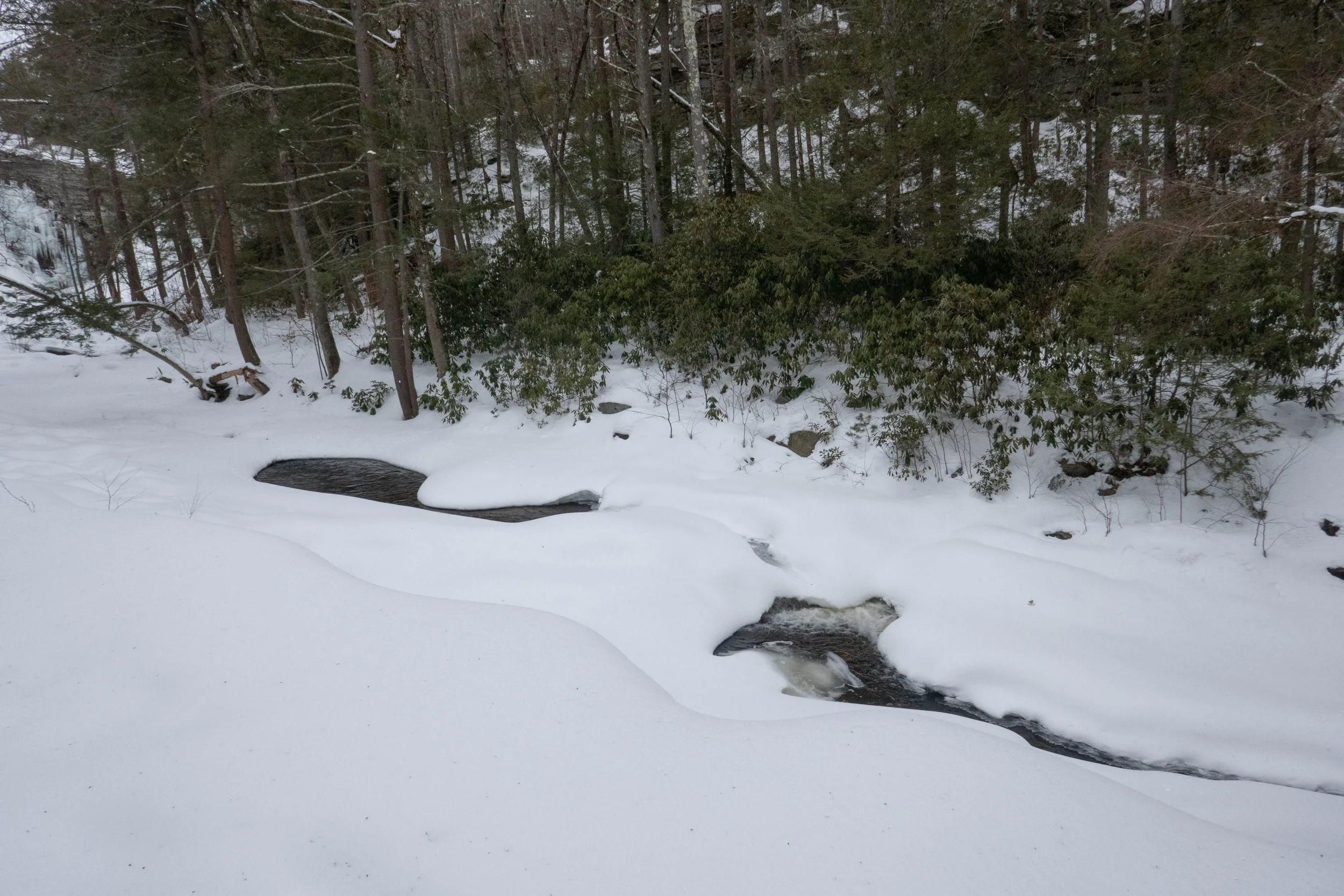
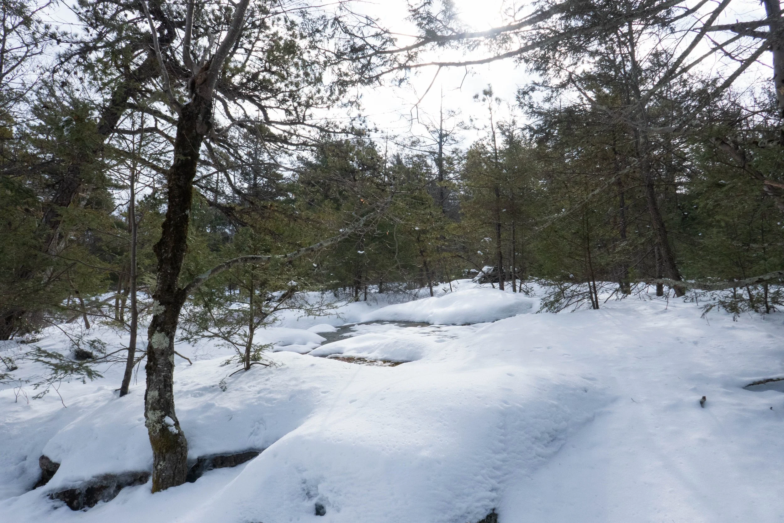
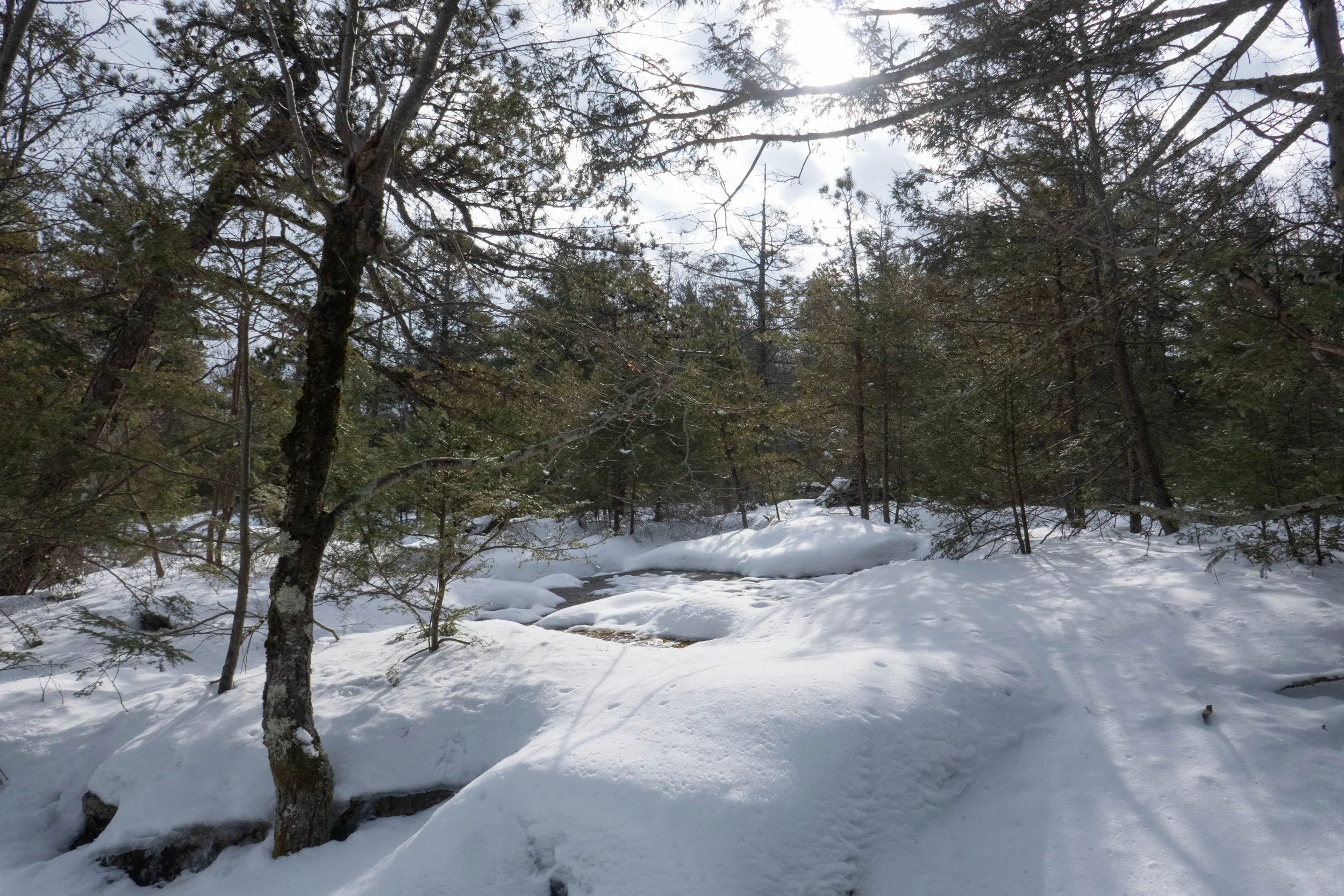
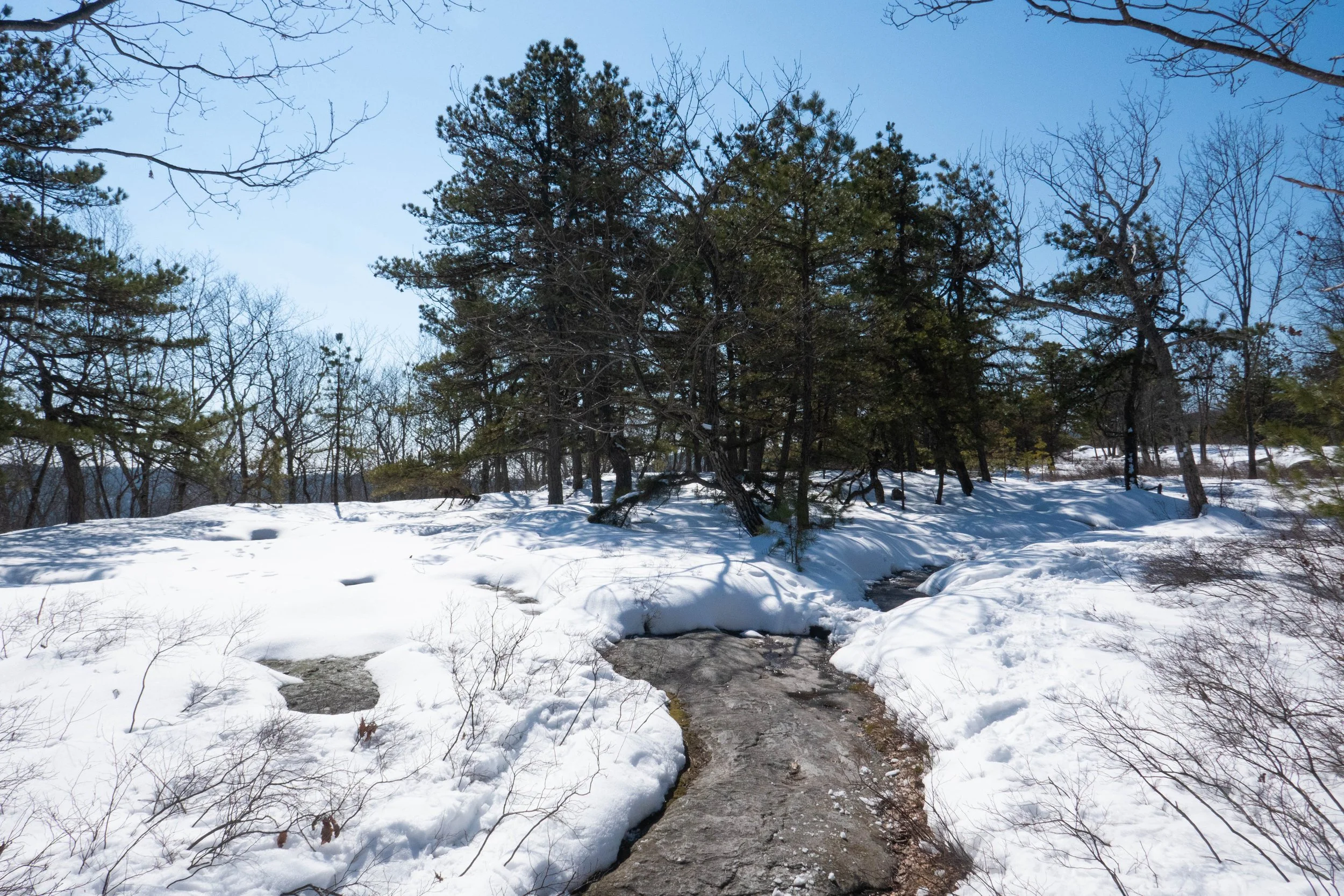
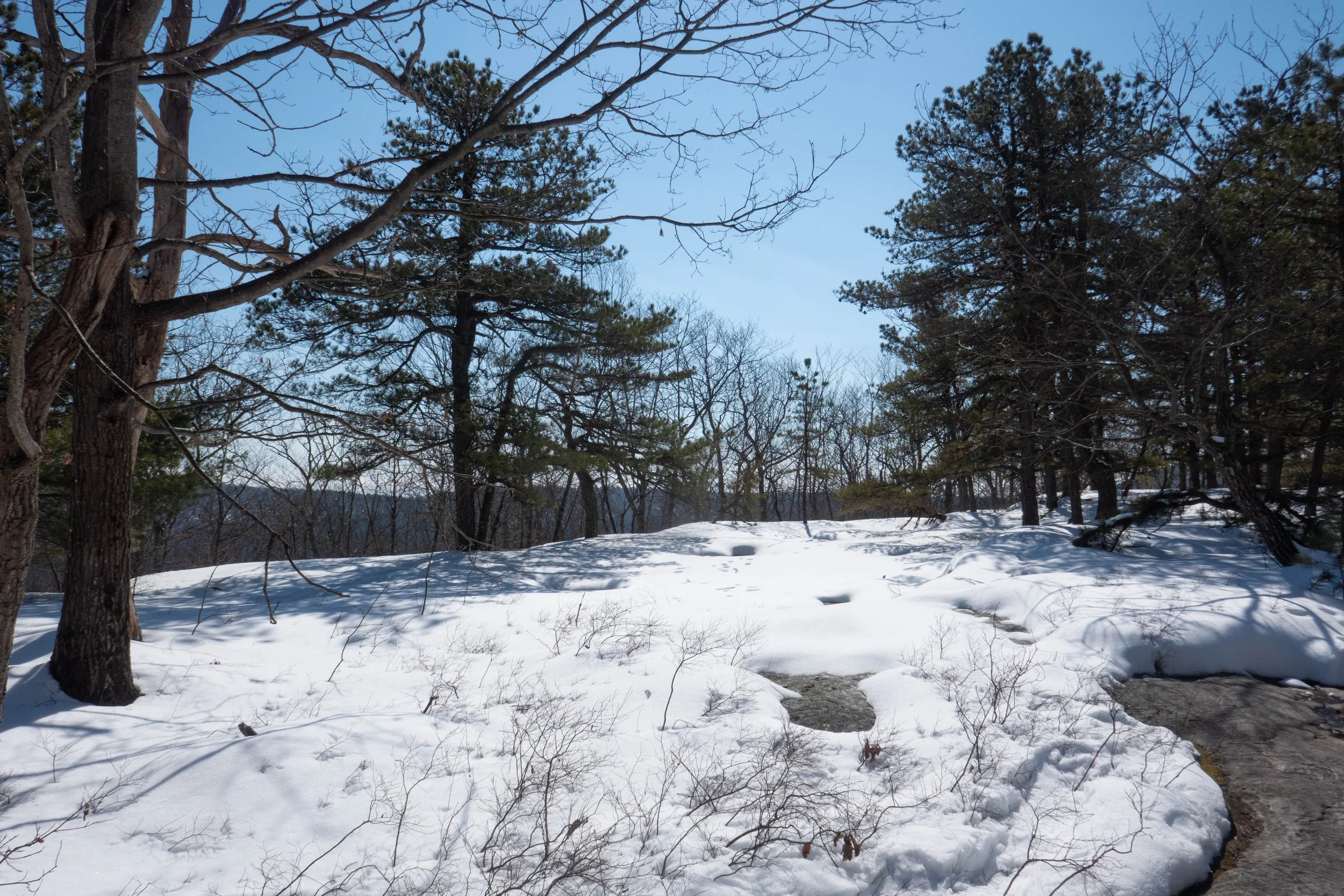
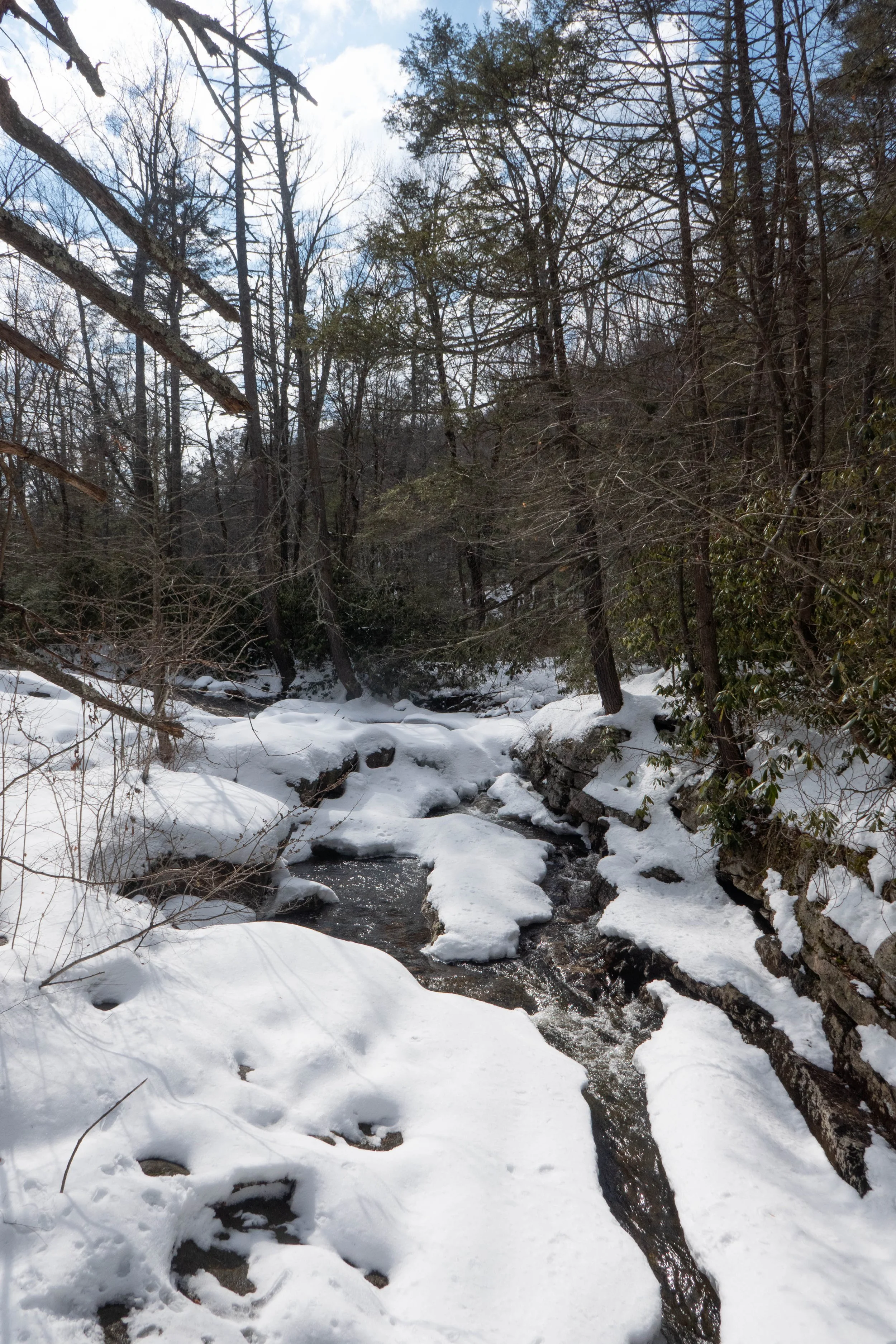
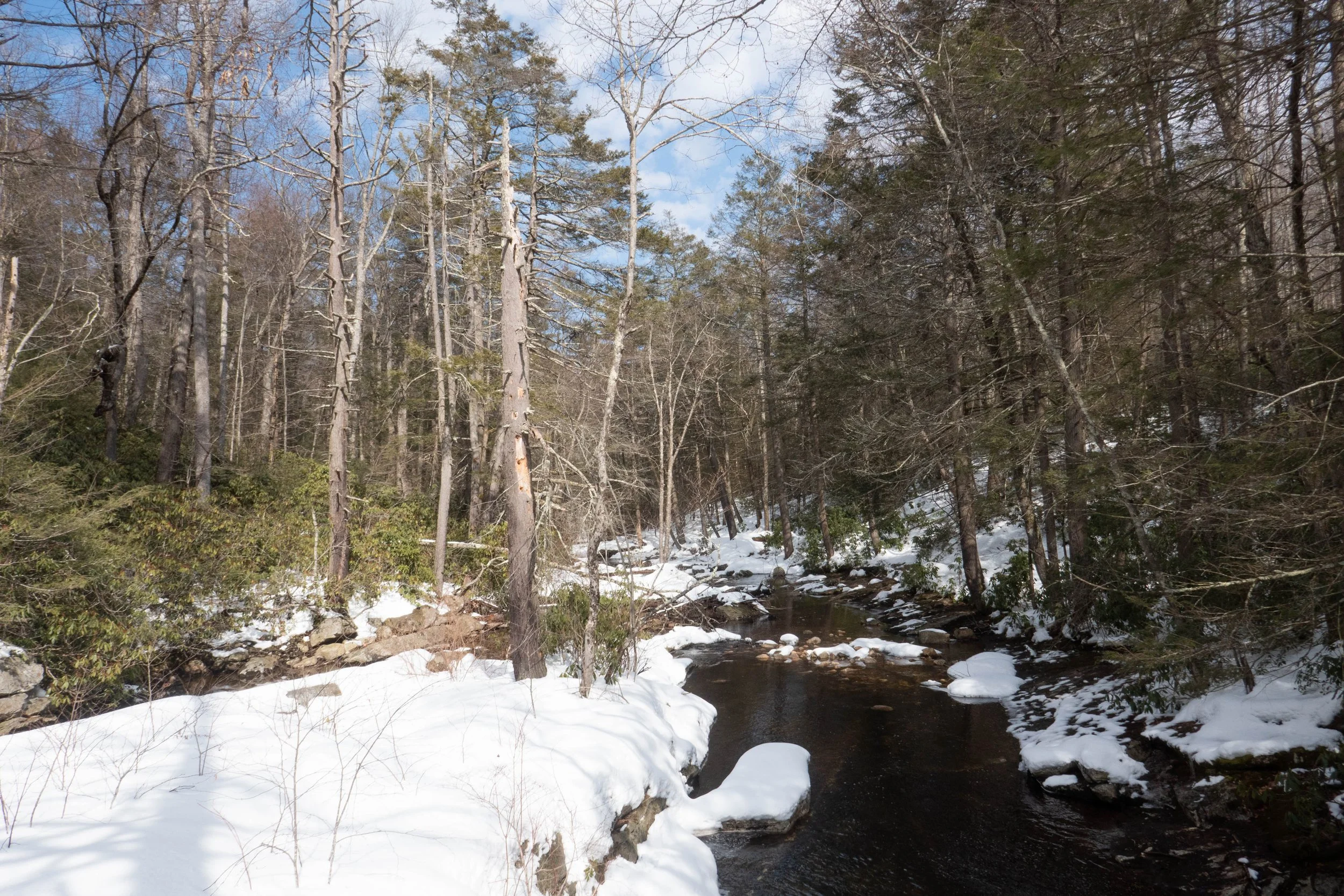
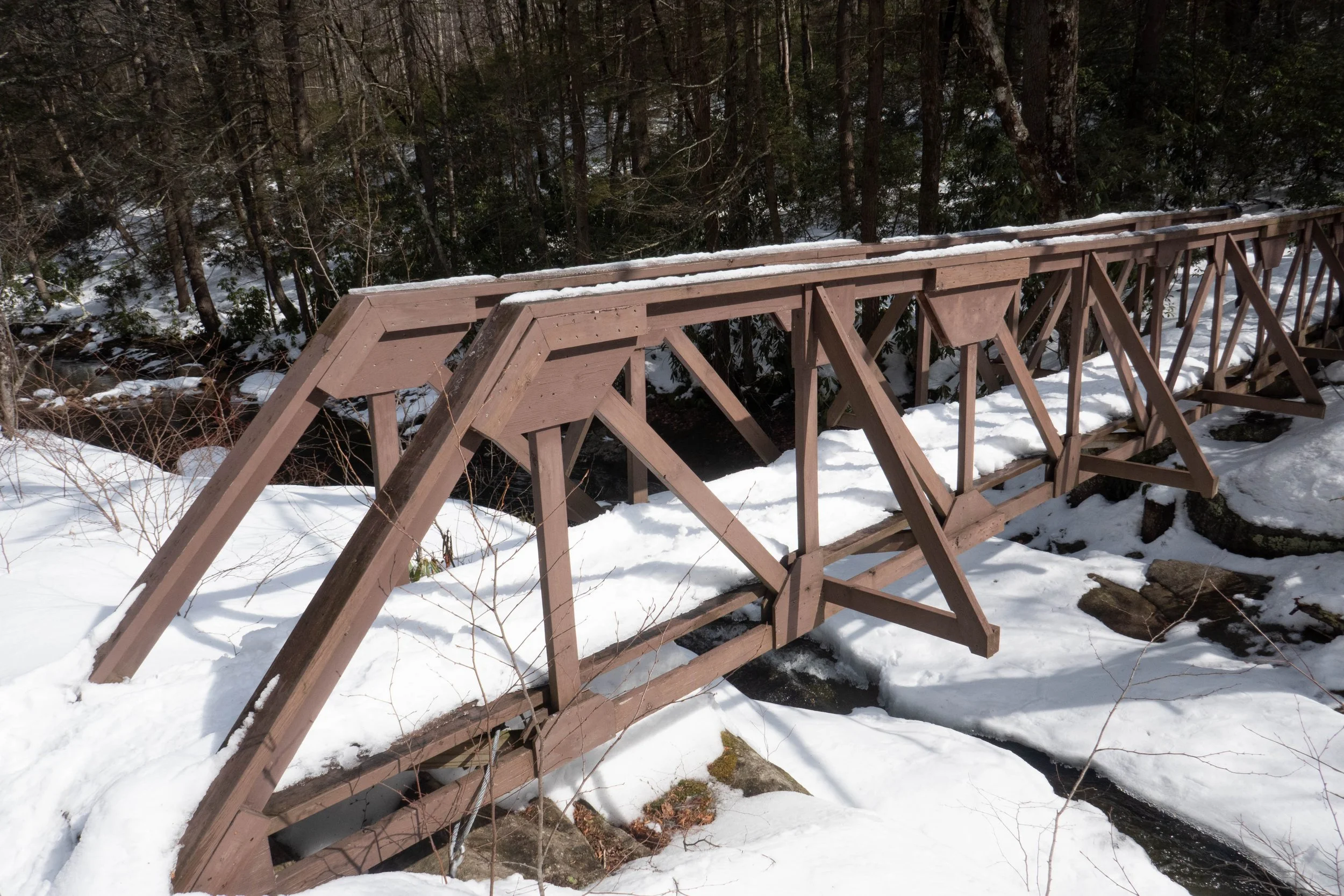
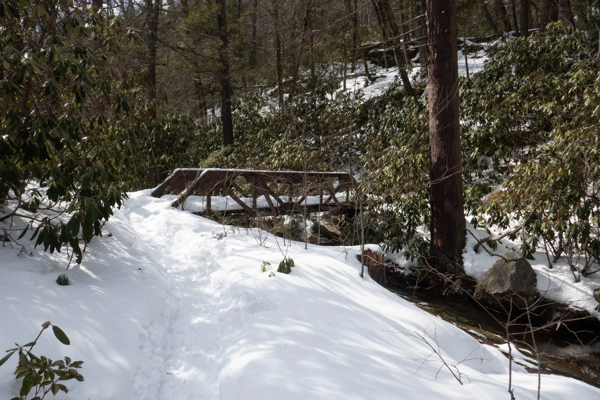
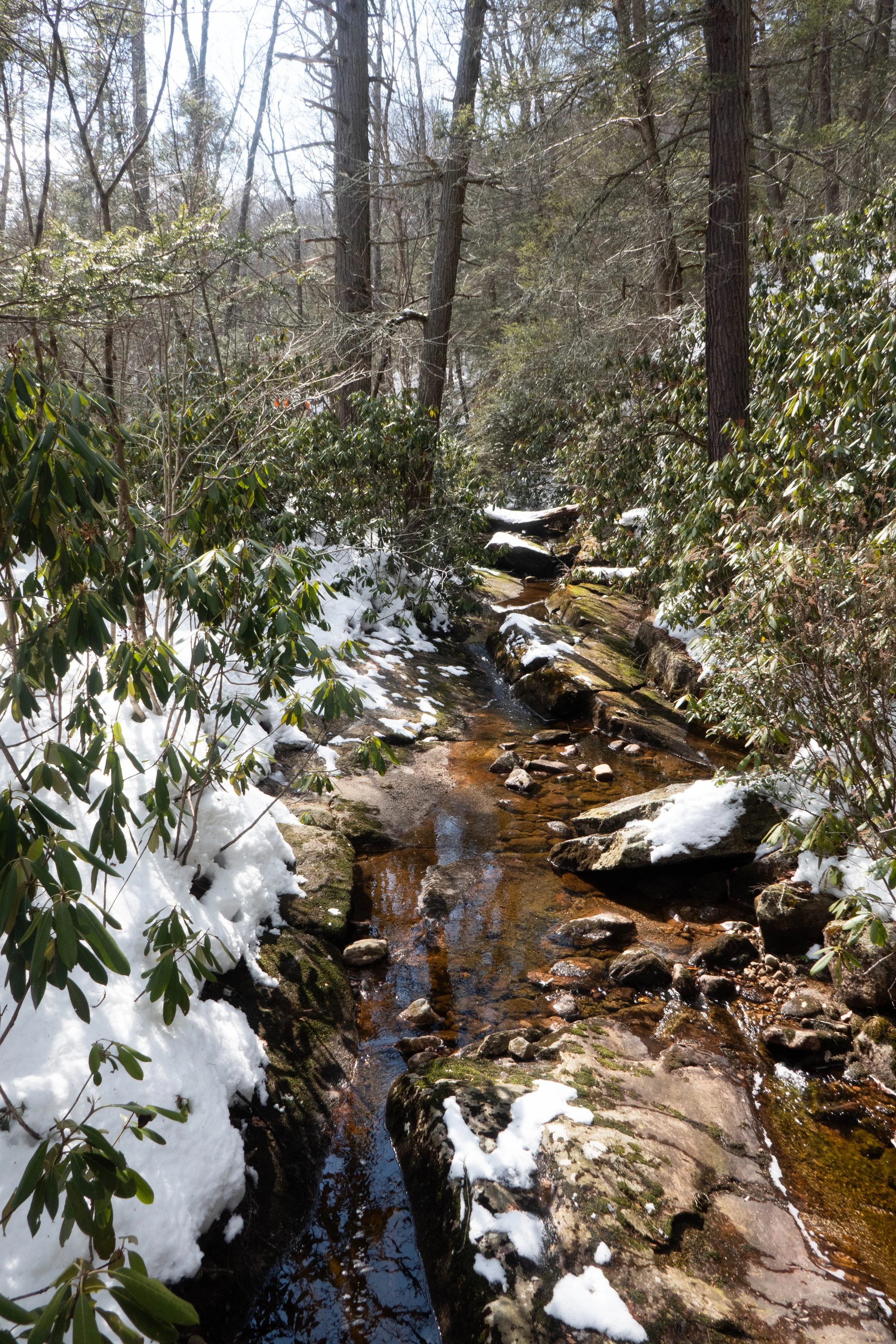
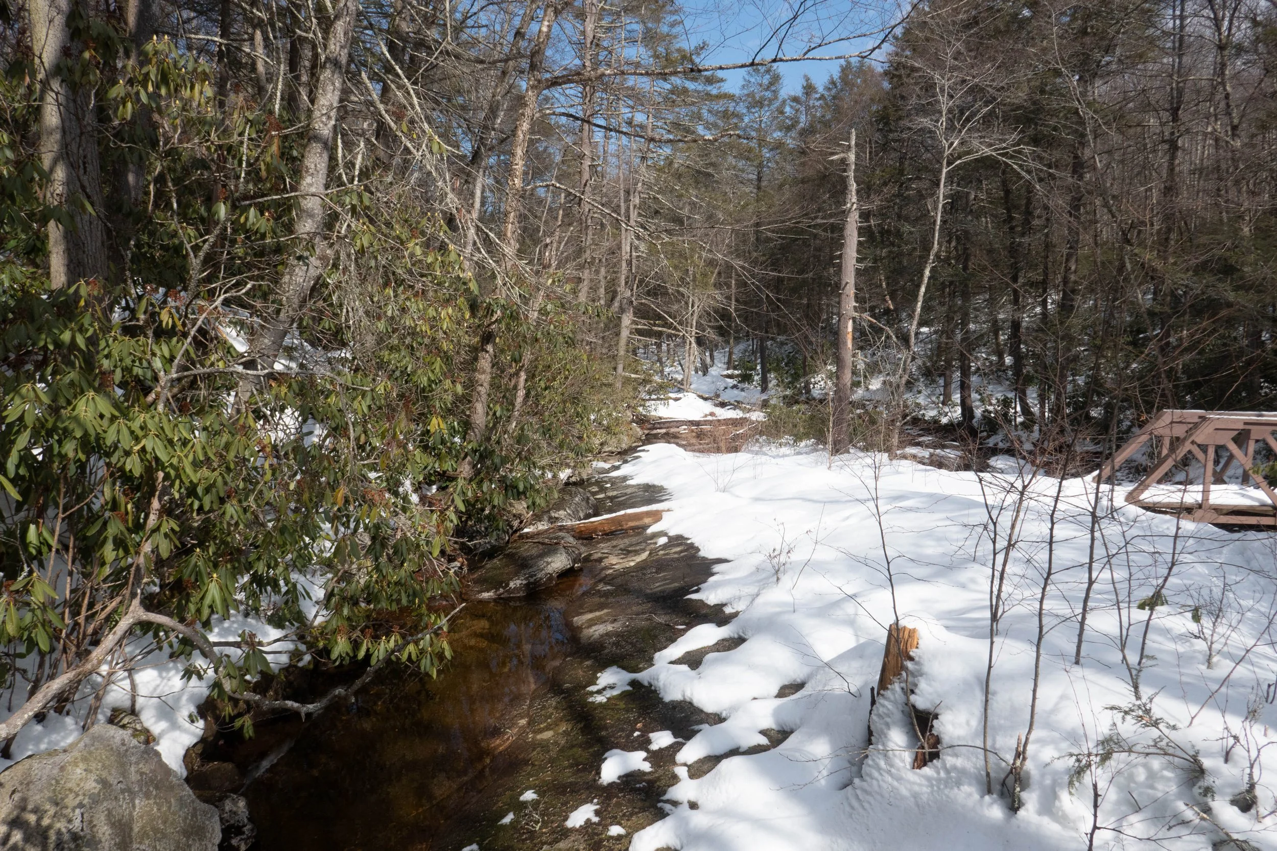
After spending some time taking it all in, we continued along High Peter’s Kill, with more ups and downs along the way, until we reached the stream. We stopped for a bit to listen to the flow of the water and relax. After crossing two bridges, the trail began to climb again.
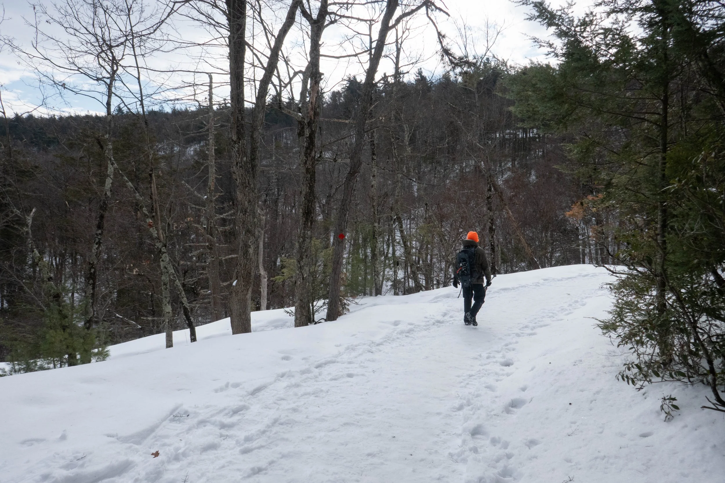
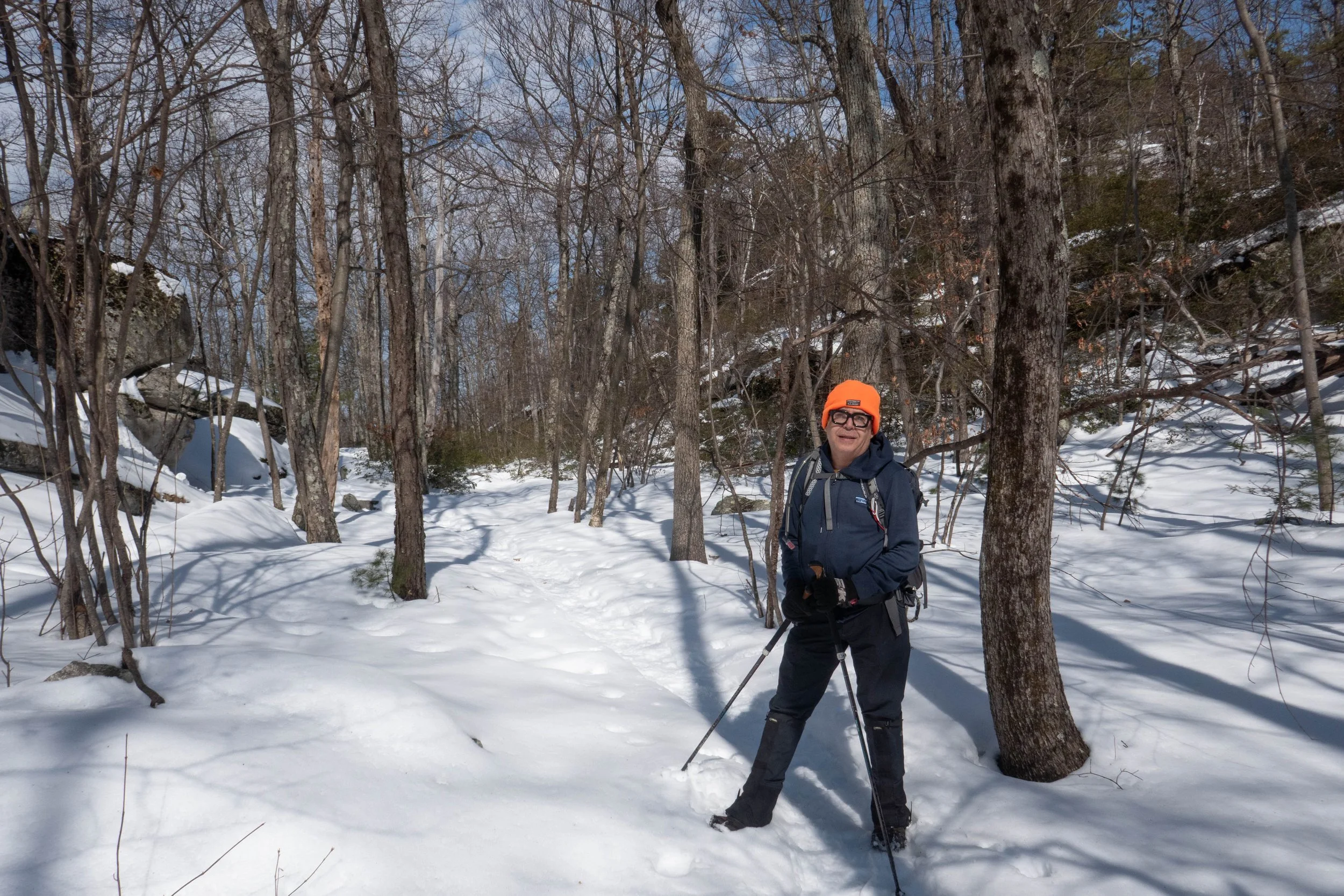
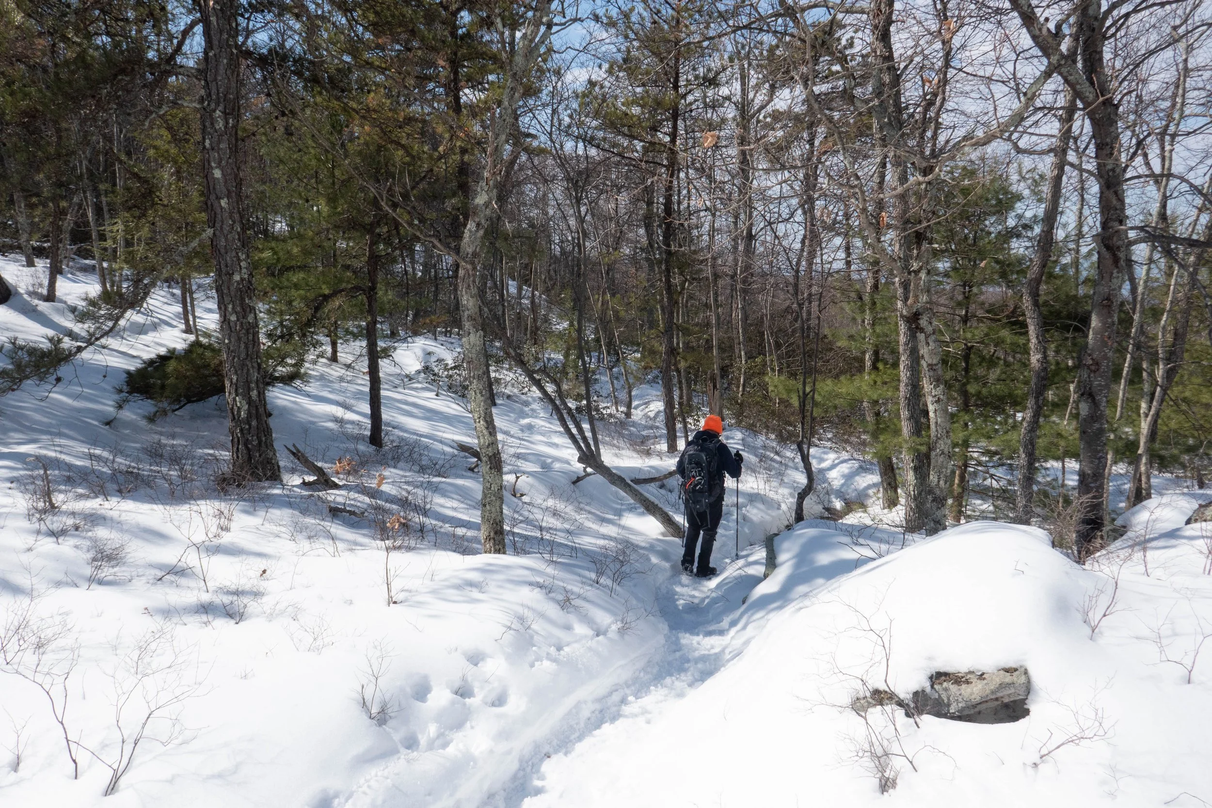
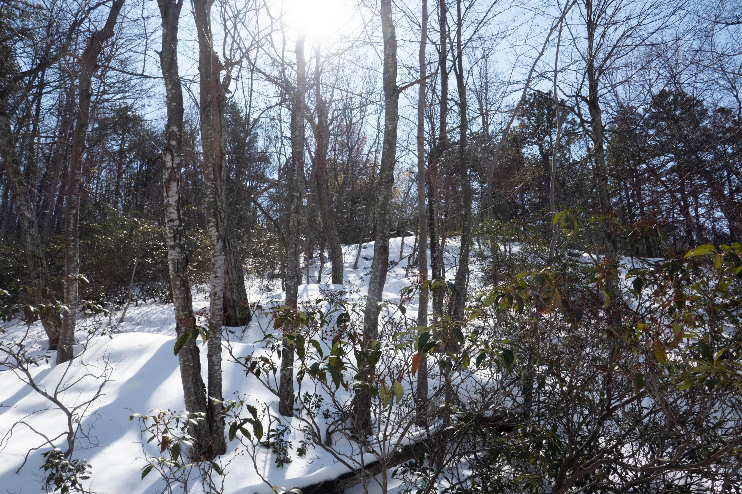
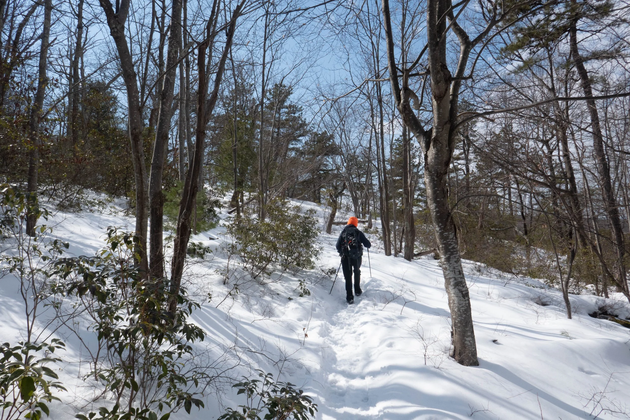
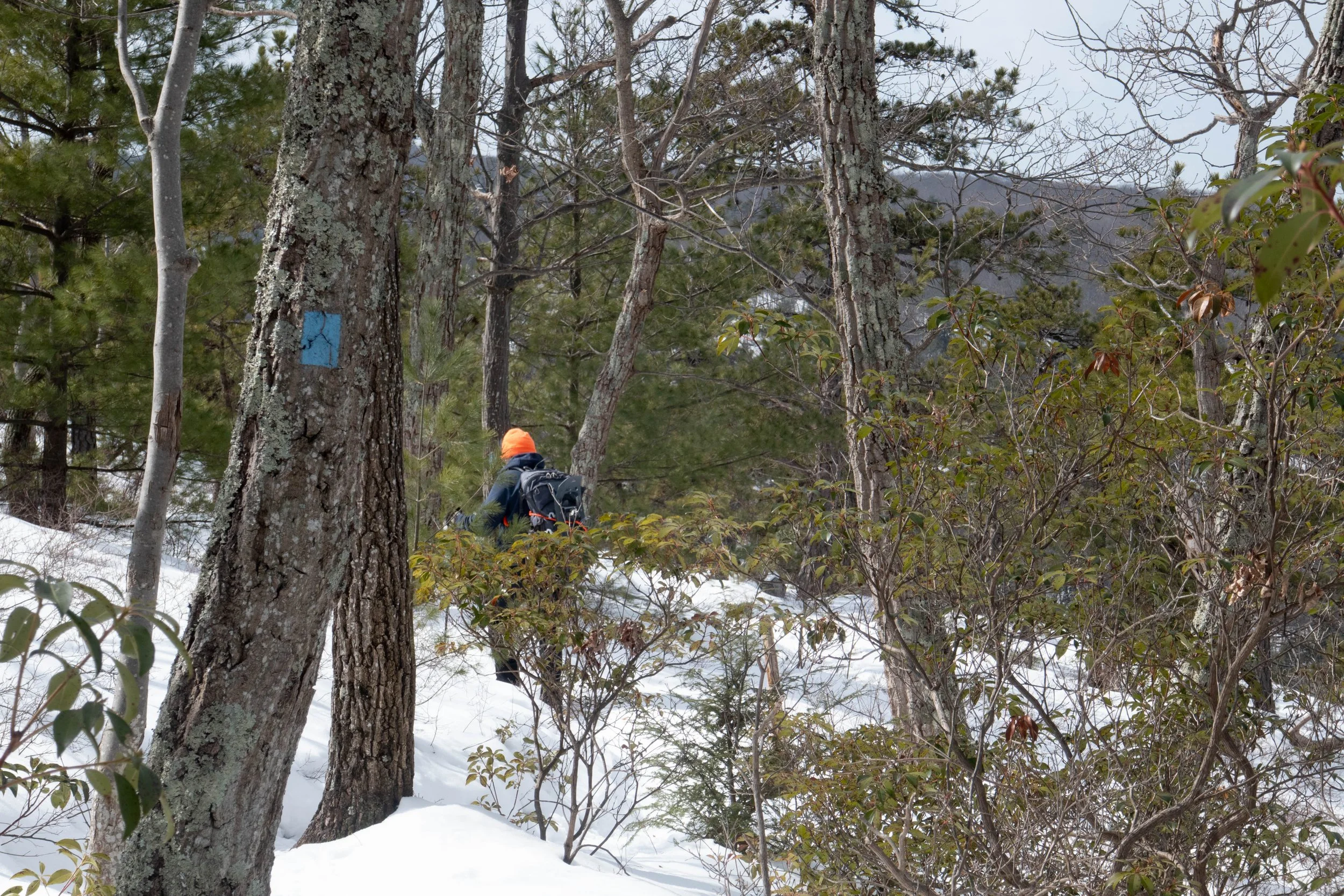
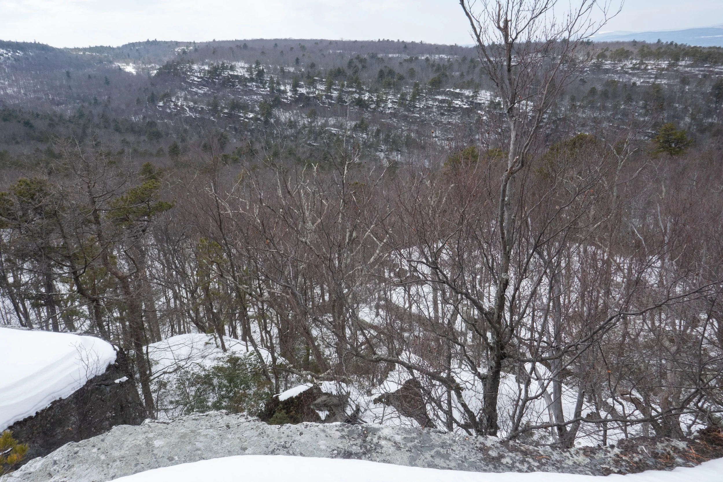
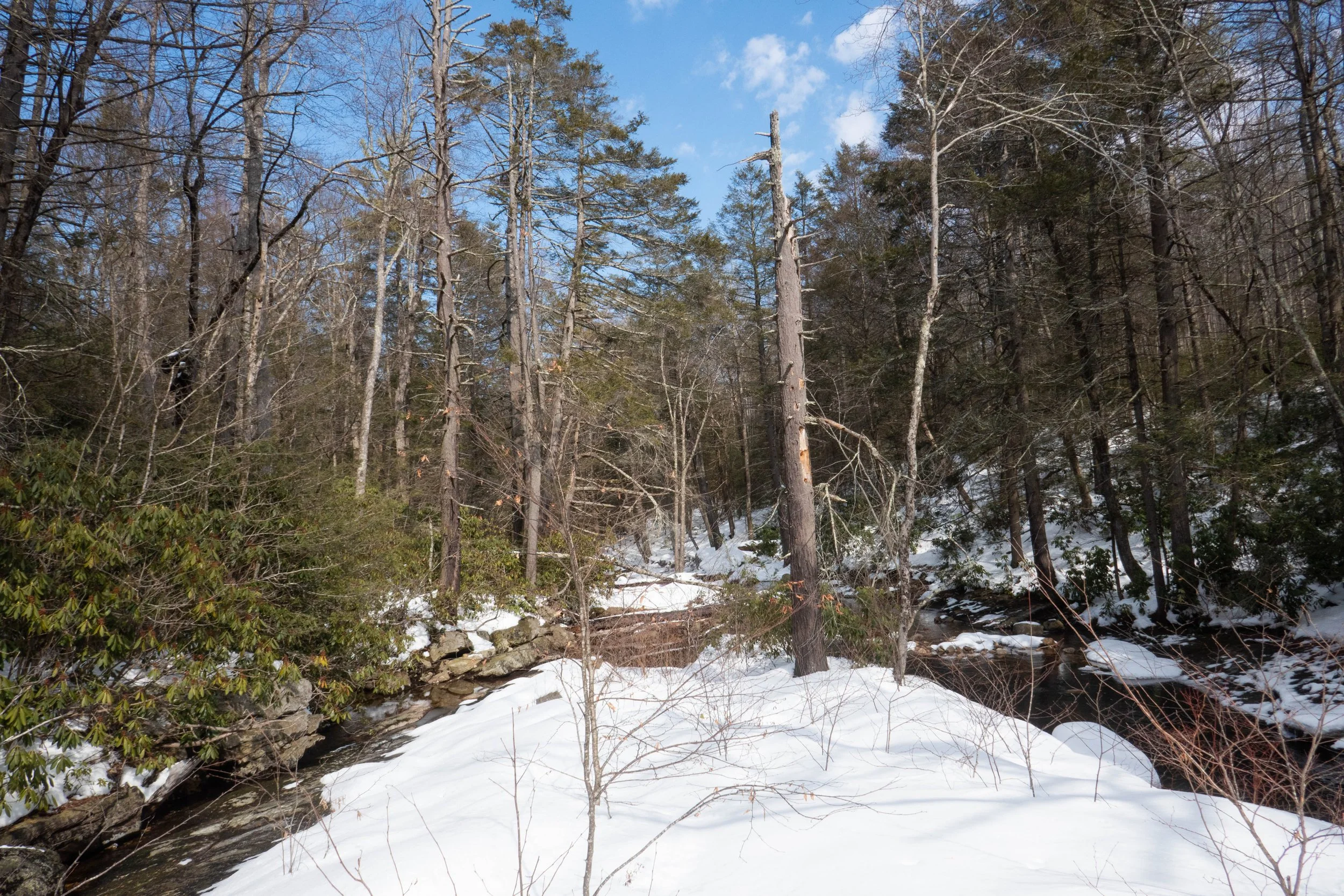
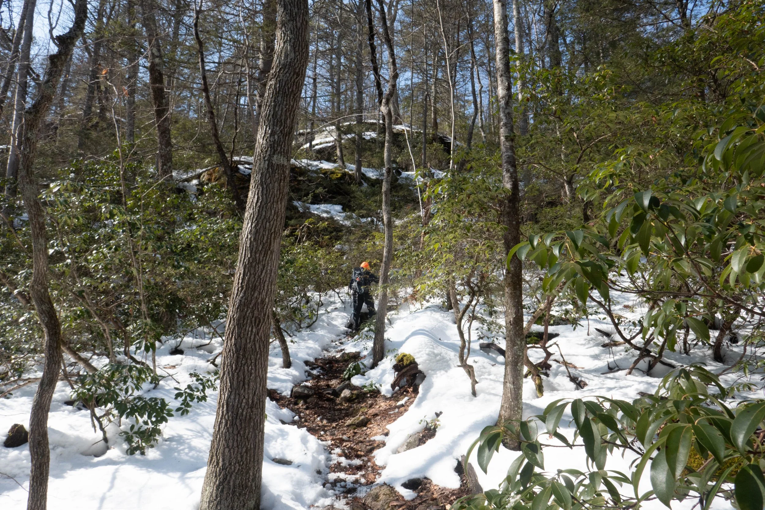
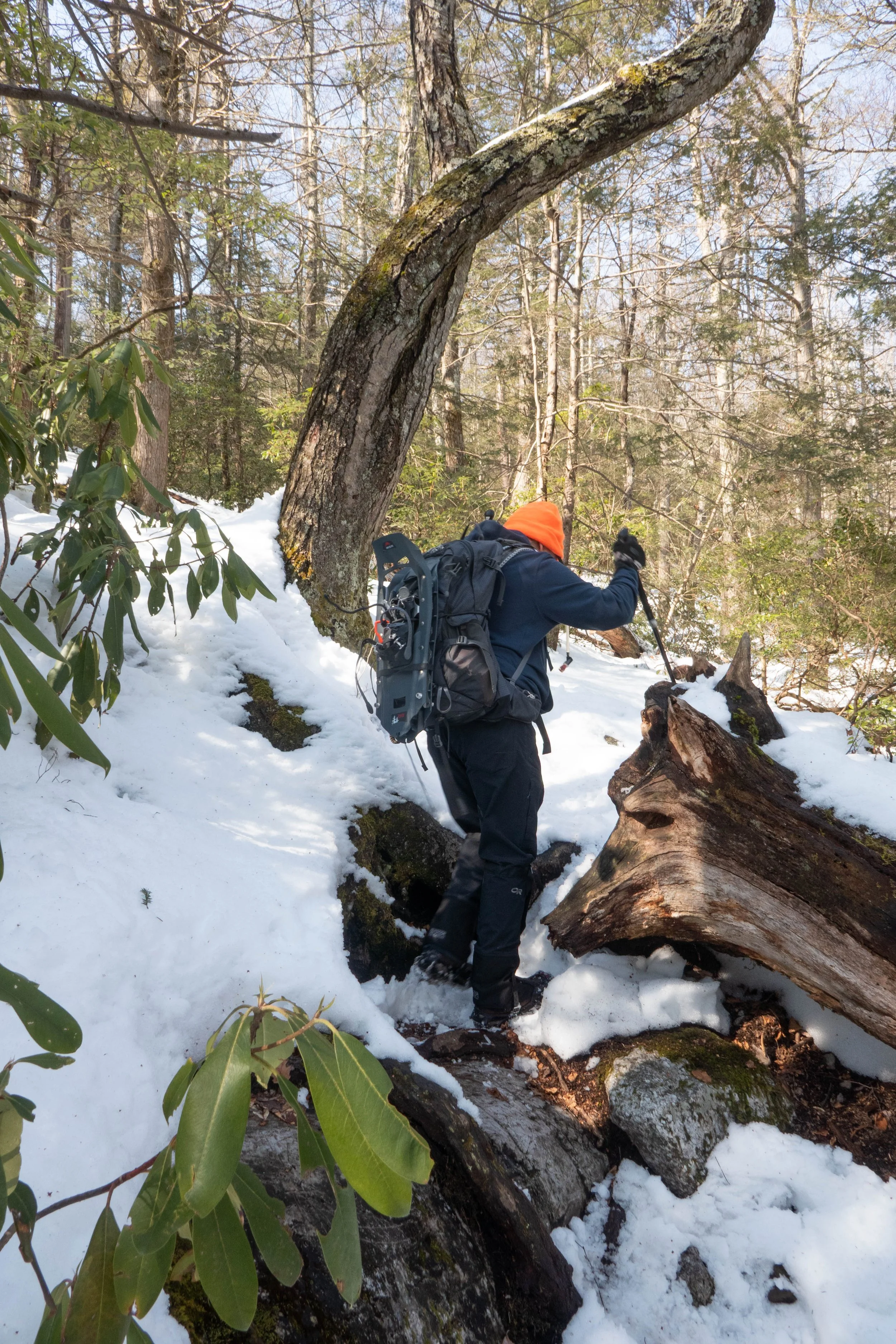
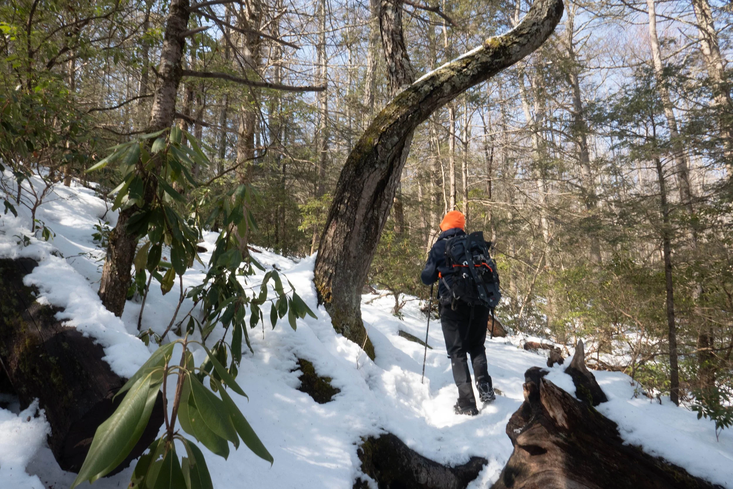
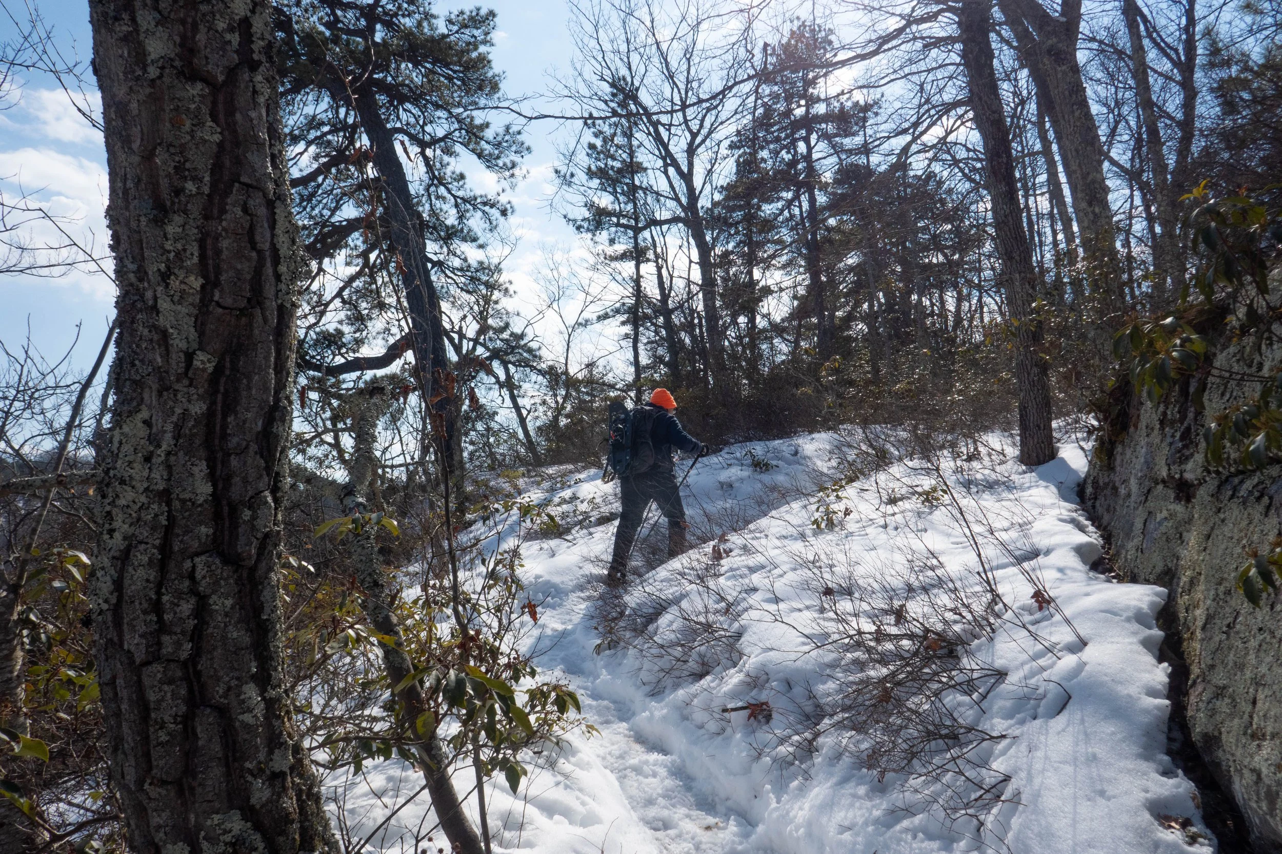
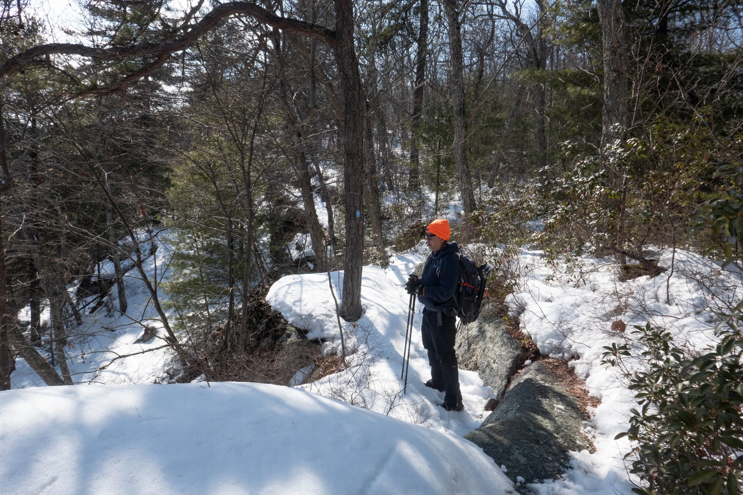
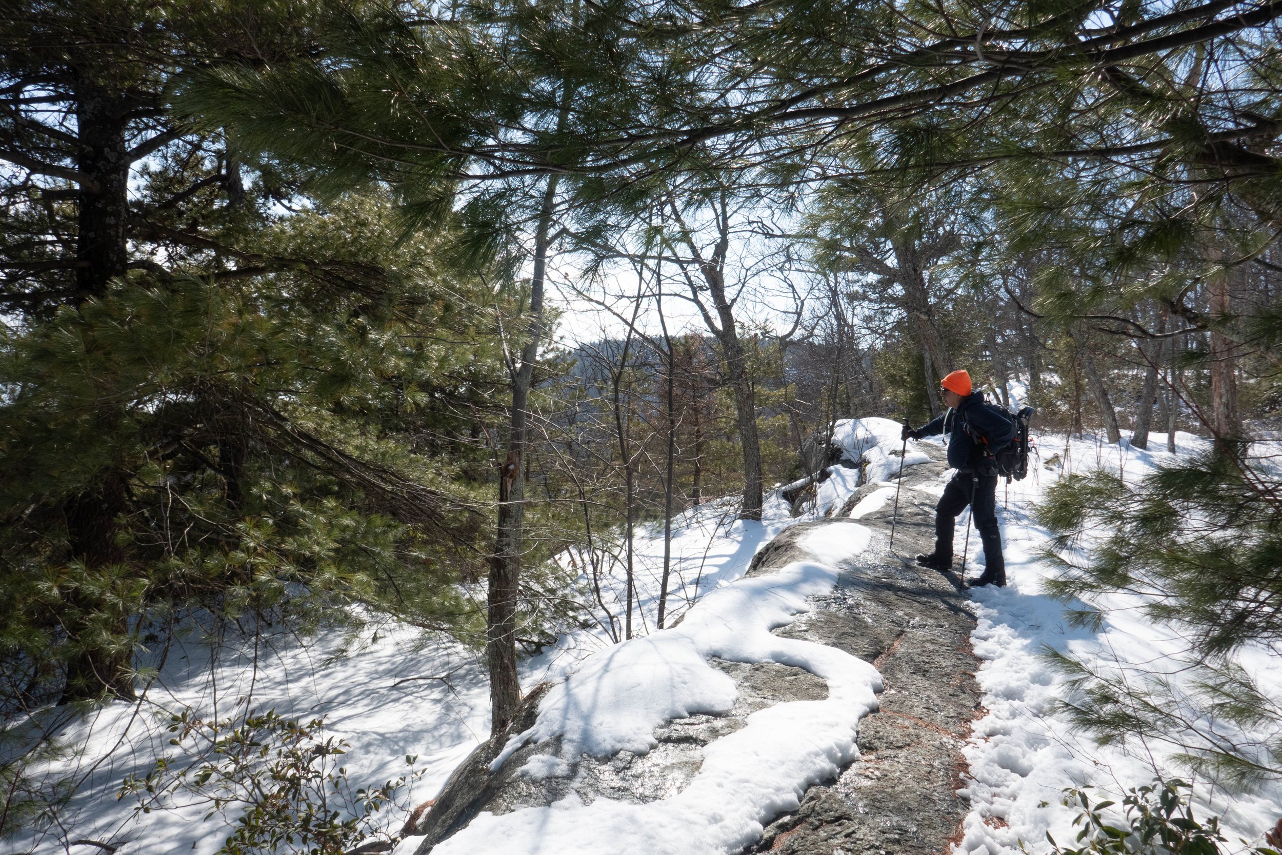
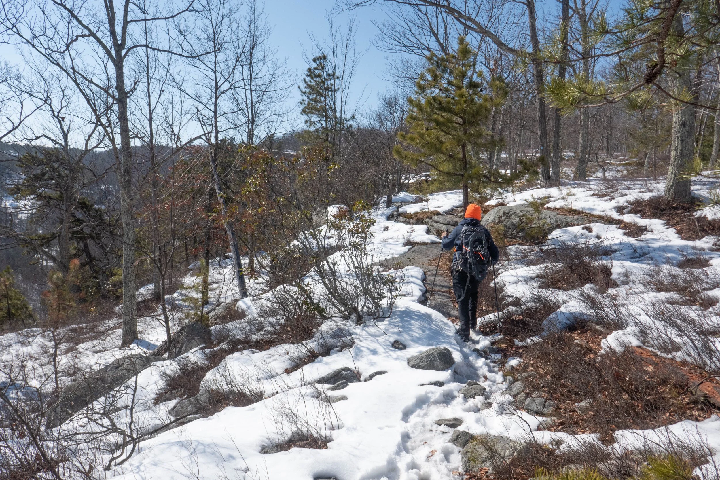
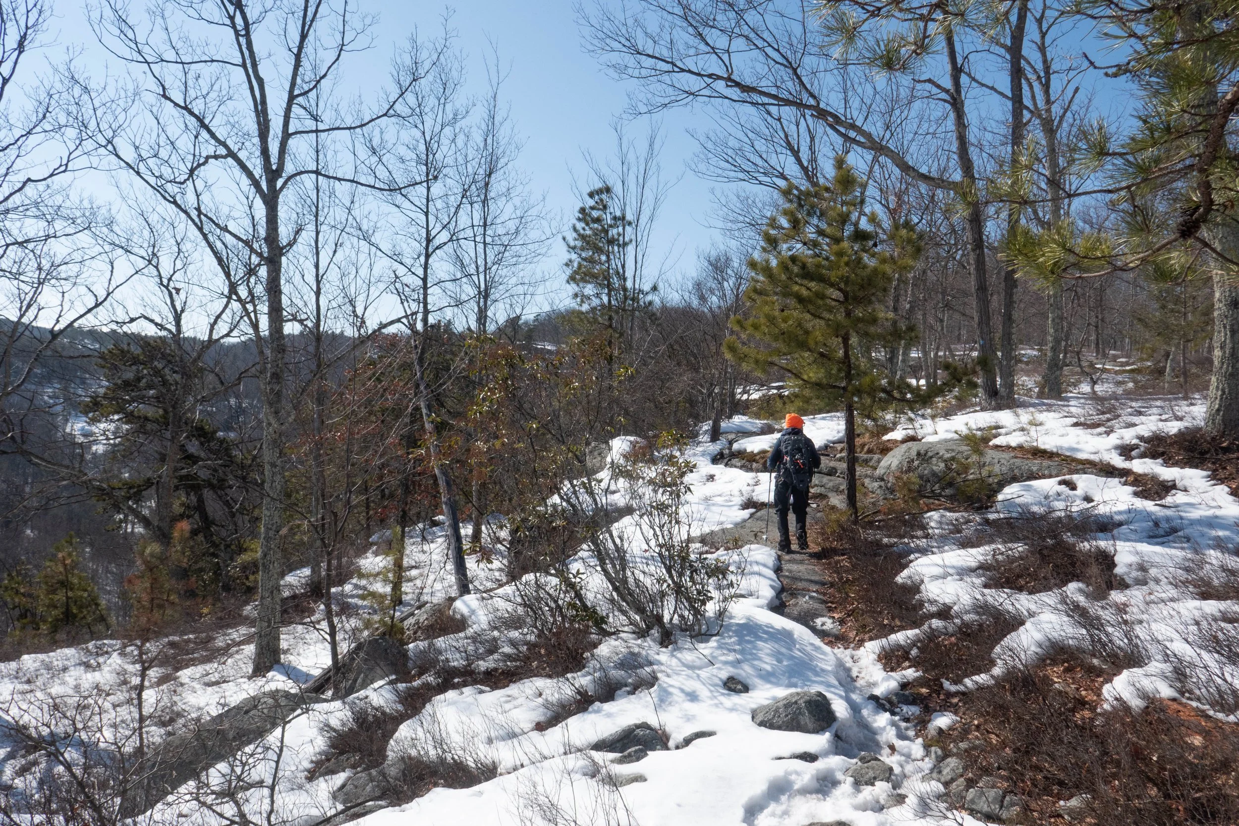
We were hiking on a mix of snow and along the exposed rocky outcrops of the beautiful Shawangunks, with views over the valley. The trail followed the ridge above Peter’s Kill and eventually, we could see Route 44 again. The trail began to parallel the road until it led us back to the main parking area.
The temperature had warmed up quite a bit throughout the day, making the hike along the ridge especially slushy, slippery, and a little more challenging. But the sun was shining, and it was a gorgeous day.
We ended it with a stop at Rough Cut Brewing for burgers and brews heading back to the city.
Click “Read More” below for more photos from this hike.