Shawangunk Mountains

Minnewaska State Park Preserve, Hamilton Point & Castle Point, Approx. 8 Miles RT, September 19, 2026

Minnewaska State Park Preserve, Hamilton Point & Castle Point, Approx. 8 Miles RT, September 19, 2026

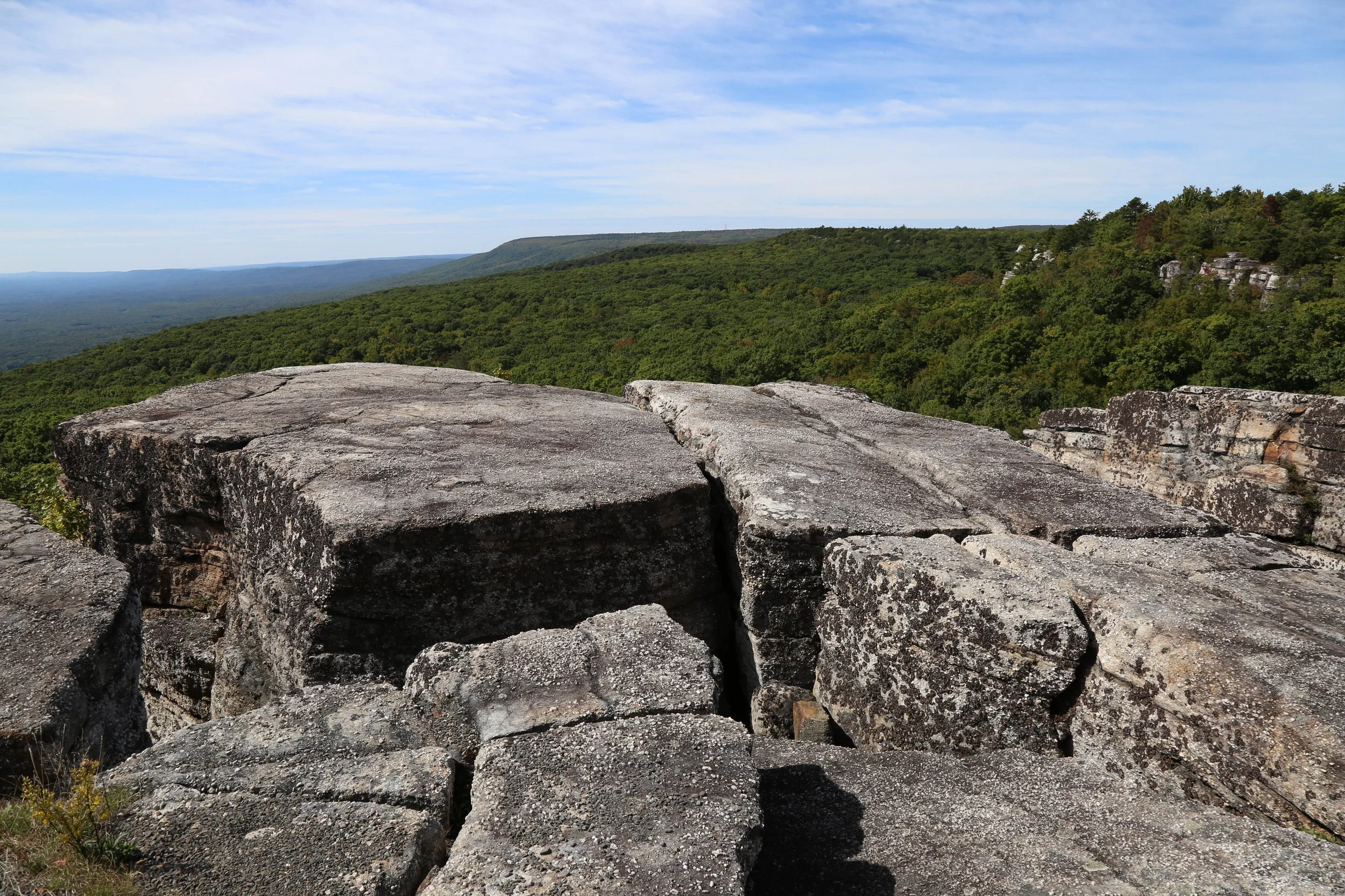
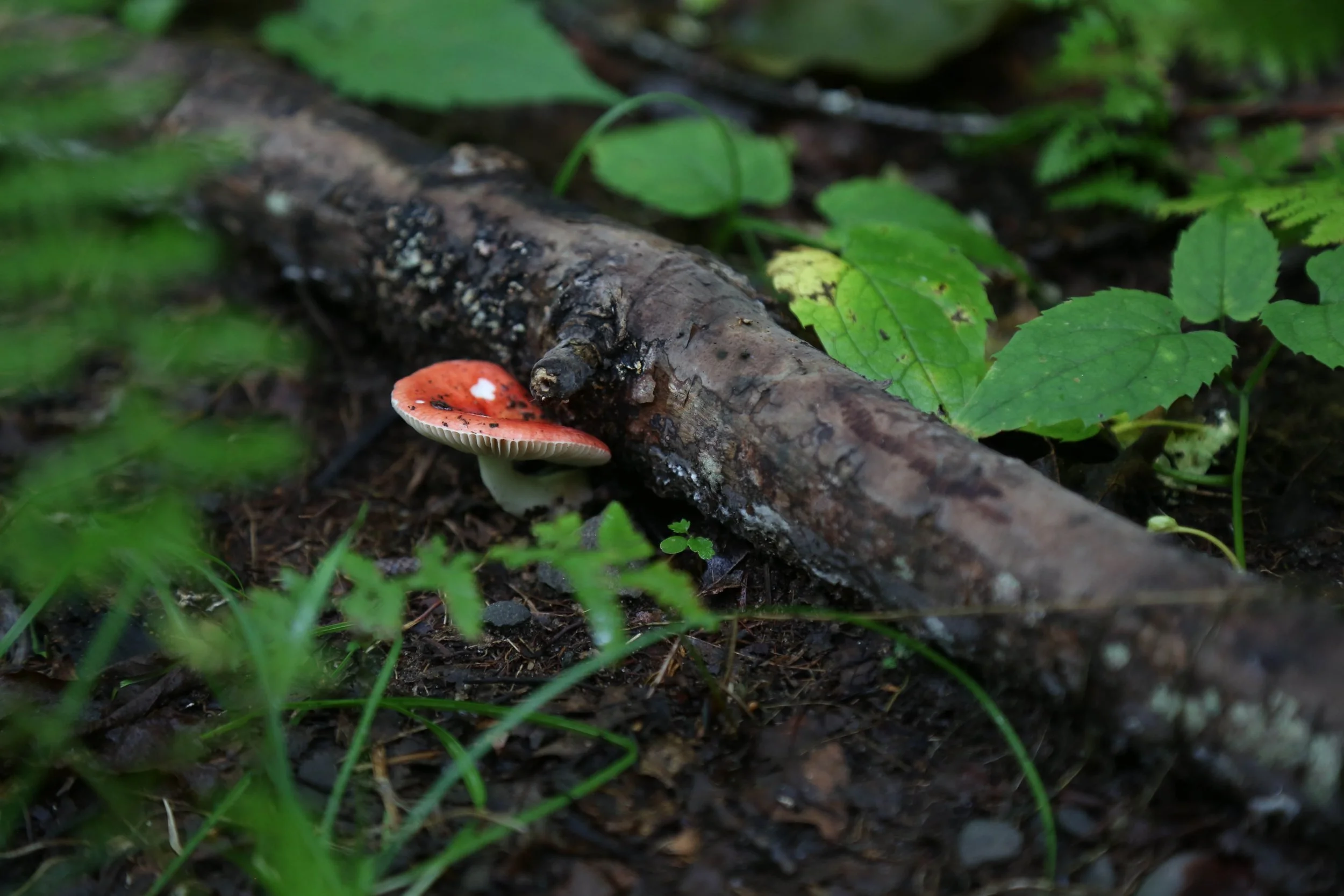
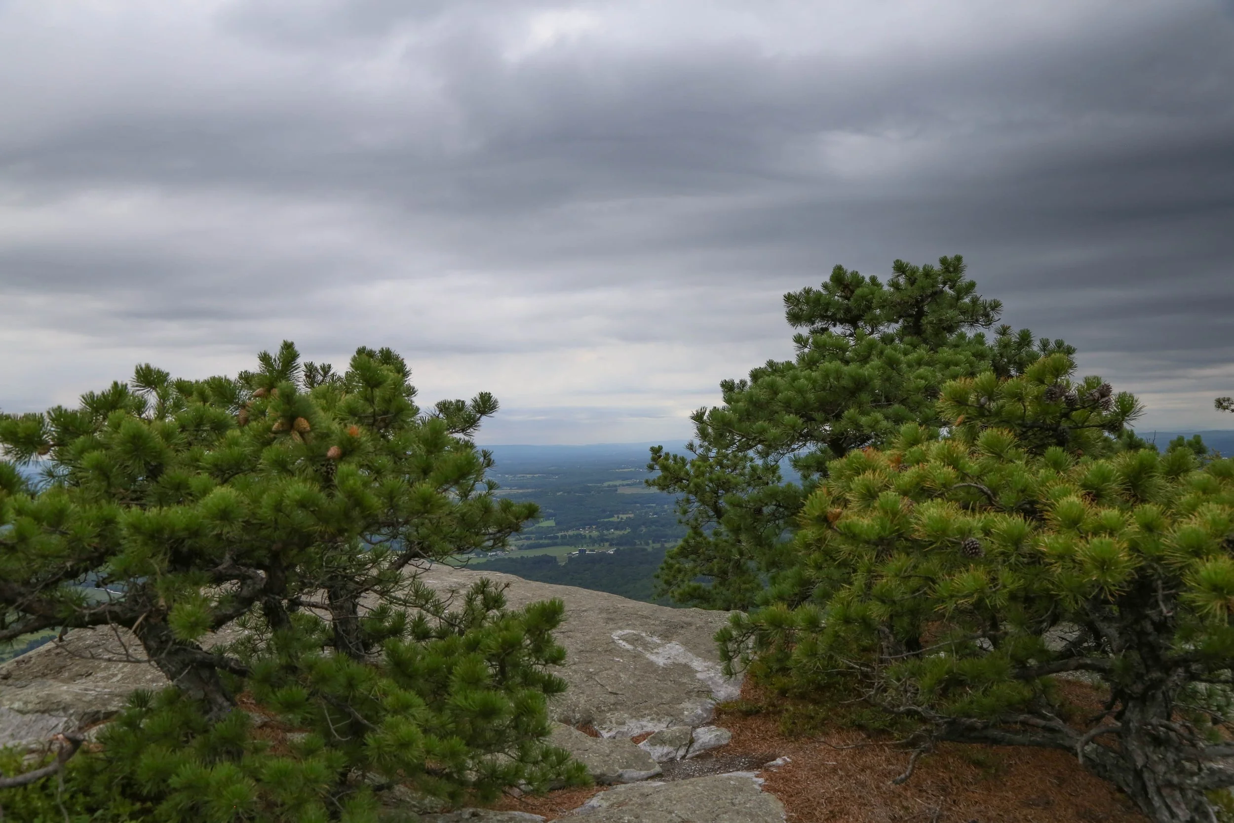
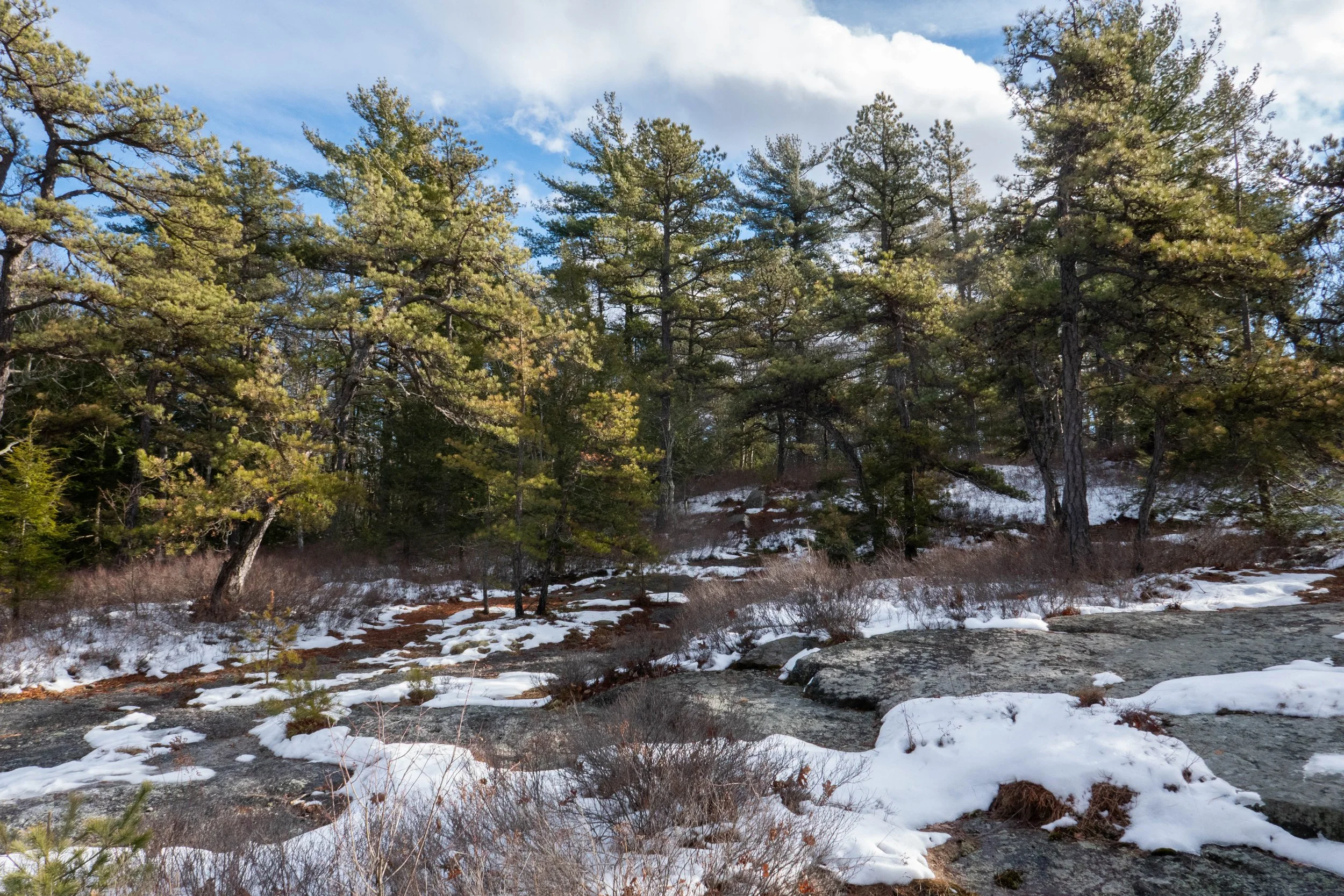
Today was the most gorgeous day! Perfect hiking weather. We drove upstate to Minnewaska State Park Preserve. This time, we hiked the Hamilton Point Carriage Road. The trail had incredible vistas throughout with views of the Palmaghatt Ravine, across to Patterson’s Pellet where we had hiked once before, Lake Awosting, Gertrude’s Nose and the Hudson Valley. It was such a lovely day we decided to continue onto the Castle Point Carriage Road and loop back. The white cliffs of quartz and sandstone conglomerate were magnificent. New York State has so much beauty. The trees along our route were mostly Hemlock, Oak and at the higher elevation, Pitch Pine. There was also an abundance of mushrooms on the trail. I could see just a hint of leaves starting to change color. It was a wonderful hike. Afterwards, we made our way over to Rough Cut Brewing to end the day with IPAs and burgers before heading back to NYC.

Click “Read More” below for more photos from this hike.

Read More

Catskill Weekend, September 5, 6, & 7, Minnewaska State Park, Castle Point Carriage Road, Spruceton Inn, Diamond Notch Falls Trail, Spruceton Trail, Hunter Mountain

Catskill Weekend, September 5, 6, & 7, Minnewaska State Park, Castle Point Carriage Road, Spruceton Inn, Diamond Notch Falls Trail, Spruceton Trail, Hunter Mountain

We started our Catskill weekend with a hike at Minnewaska State Park Preserve. This time we walked the Castle Point carriage road for a 5-mile out-and-back. It was a sunny day, and there were gorgeous viewpoints along the way to enjoy.

After the hike, we headed up to the Catskills for a late lunch and IPAs at Woodstock Brewing. This is always my first stop anytime we visit. Afterwards, we drove to the Spruceton Inn, which has become my favorite place to stay when we are in the Catskills. I can’t say enough good things about this place and how magical it is.

We had planned a very low-key weekend with no pressure to climb any peaks or do anything strenuous. We both needed some R&R, and that is exactly what we got at the Inn located at the base of West Kill Mountain.

Sunday morning, we woke to mountain rain, but it passed quickly enough. There was no hurry, and we stayed in our pajamas for a while, and I wrote in my journal and sketched. After the rain stopped, we headed just up the road for a walk along the trail to Diamond Notch Falls. There were so many mushrooms, and I had my DSLR camera with me, so I took lots of photos. We weren’t quite ready to be done hiking yet, so we took a short walk on the Spruceton Trail just to the bridge before the trail begins climbing up Hunter Mountain. After we finished the hike, we took a ride to Tannersville and had a late breakfast at Maggie’s Crooked Cafe. She always remembers us, and her home cooking hit the spot. Later that afternoon, we stopped at West Kill Brewing for IPAs before heading back to the Inn for happy hour at Room One. We always have such a lovely time chatting with the people we meet in the Catskills.

All too soon, Monday came around, and neither of us really wanted to head back to the city just yet. So we had a lazy morning just enjoying the beautiful fields of goldenrod and the sunshine at the Inn before we said goodbye until our next visit.

Click “Read More” below for more photos.

Read More

Minnewaska State Park Preserve, Millbrook Mountain Carriage Road, Approx. 6 Miles Out & Back, August 30, 2026

Minnewaska State Park Preserve, Millbrook Mountain Carriage Road, Approx. 6 Miles Out & Back, August 30, 2026

This Sunday we visited Minnewaska State Park Preserve in upstate New York. This was the first time we were there in the summer. We’ve only ever visited in the winter, when it was covered in ice and snow. We parked in the upper parking area near the visitor center. There are foot trails and a network of wide carriage roads. We first stopped in at the visitor center to pick up a map and decide on a route. We chose the carriage road to Millbrook Mountain.

The trail starts on the west side of Lake Minnewaska. On this day, there was a triathlon, so there were people cheering on the runners, swimmers, and bikers. Even with the marathon, the park is still large enough to find quiet time alone on the trails. As we hiked, I noticed the beautiful pitch pines, lush green ferns, sassafras, oak, and plenty of mushrooms.

Our first viewpoint was Patterson’s Pellet. The Shawangunk Mountains are impressive, and there are plenty of views to be able to enjoy with minimal exertion to get there. We carried on to Millbrook Mountain overlook, which was equally impressive. We sat for a bit, took in the mountain breeze and the sound of the pitch pines blowing in the wind, before heading back the way we came.

After the hike, we headed over to Rough Cut Brewing just down the road for IPAs and smash burgers. It was a good day.

Click “Read more” below for more photos from this hike.

Read More

Minnewaska State Park, Awosting Falls, Bull Wheel, High Peter's Kill Trail, 5.6 Miles RT, 2,175' Max Elevation, February 28, 2026

Minnewaska State Park, Awosting Falls, Bull Wheel, High Peter's Kill Trail, 5.6 Miles RT, 2,175' Max Elevation, February 28, 2026

Today we went back to Minnewaska to continue along the Awosting Falls Trail. We planned to hike to the Bull Wheel Trail and loop back on the High Peter’s Kill Trail. We arrived shortly after the lot opened at 9 a.m., and people were just starting to filter in.

We took the Awosting Falls Trail past the waterfall and along the scenic Peter’s Kill stream. This trail is a wide carriage road. It was still covered in ice and snow and the waterfall was flowing, but parts of it were also still frozen. We continued until we reached the footpath for the Awosting Falls Connector Trail and followed it to Route 44. After crossing the road to the High Peter’s Kill parking area, we found the Red Loop footpath and followed it briefly until reaching the Bull Wheel Trail.

From there, we gradually ascended to an open area filled with pitch pines and the remains of a concrete slab which was once the base of a tower that supported a pulley for a ski lift. This was part of the Ski Minne downhill ski area that operated from 1964 to 1978. The pulley, known as a “bull wheel” is how the trail got its name.

We continued past the impressive cliffs of Dickie Barre, where the Bull Wheel Trail ends and connects with High Peter’s Kill, which also follows the route of the Shawangunk Ridge Trail. We climbed through a notch in Dickie Barre, followed by another descent, and eventually reached an open area where pitch pines grew on the exposed rock ledges at Compass Rock. The views here were incredible, and we could see far north all the way to the Catskills. I pulled out my PeakFinder app to identify some of the high peaks.

After spending some time taking it all in, we continued along High Peter’s Kill, with more ups and downs along the way, until we reached the stream. We stopped for a bit to listen to the flow of the water and relax. After crossing two bridges, the trail began to climb again.

We were hiking on a mix of snow and along the exposed rocky outcrops of the beautiful Shawangunks, with views over the valley. The trail followed the ridge above Peter’s Kill and eventually, we could see Route 44 again. The trail began to parallel the road until it led us back to the main parking area.

The temperature had warmed up quite a bit throughout the day, making the hike along the ridge especially slushy, slippery, and a little more challenging. But the sun was shining, and it was a gorgeous day.

We ended it with a stop at Rough Cut Brewing for burgers and brews heading back to the city.

Click “Read More” below for more photos from this hike.

Read More

Minnewaska State Park, Mossy Glen Trail, Awosting Falls, 5.6 Miles RT, Max elevation 1,745', February 21, 2026

Minnewaska State Park, Mossy Glen Trail, Awosting Falls, 5.6 Miles RT, Max elevation 1,745', February 21, 2026

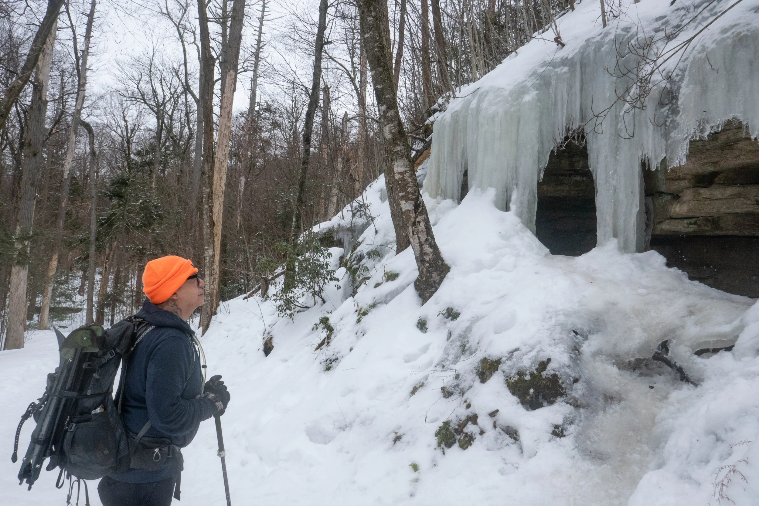
It was a beautiful day at Minnewaska State Park. There was much more snow than the last time we were here a few weeks ago, when it was mostly hard-packed ice on the trail. This time, the ice was covered by a few more inches of snow, but we were able to hike in microspikes and didn’t need to switch into snowshoes.

We hiked the Mossy Glen Trail, as we did last time, and thought we might continue on to the viewpoint at Castle Rock. But the trees were heavy with snowmelt, and we were getting a little wet ducking under the rhododendrons and brushing past the pines. It was a bit warmer today, even though the sun never came out.

When we reached the end of Mossy Glen, we decided to head back the way we came and enjoy the trail in the opposite direction. When we arrived back at the parking lot, it was still fairly early, so we took the Awosting Falls Trail to see the falls, which we’d never been to before. There were beautiful ice flows along the trail, and near the falls we saw blue ice.

I made a note to continue on this trail next time.

After the hike, we stopped at Rough Cut Brewing for burgers and IPAs. It was a great day.

Click “Read More” below for more photos.

Read More

Minnewaska State Park Preserve, Mossy Glen, Lake Awosting, 5.9 Miles RT, 574' +/-, January 11, 2026

Minnewaska State Park Preserve, Mossy Glen, Lake Awosting, 5.9 Miles RT, 574' +/-, January 11, 2026

IIt has been a month since we’ve been able to go out for a hike, and I have been craving that balance between nature and city. This past weekend was our first hike of 2026, and getting out into the woods was much overdue. I had been wanting to check out Minnewaska State Park Preserve for some time, and today we made the hour and forty-minute drive out of the city to explore it.

Minnewaska State Park Preserve is located on the Shawangunk Ridge in Ulster County, New York. The Shawangunk Mountains, aka The Gunks, extend from the northernmost point of the border with New Jersey to the Catskills. It’s a continuation of the easternmost section of the Appalachian Mountains. In New Jersey, this ridge is known as Kittatinny Mountain, which we have hiked many times in the Delaware Water Gap.

With the freeze-thaw conditions over the past week or so, I knew the terrain would be a mixed bag of mud, snow and hard-pack ice requiring traction. We brought our microspikes and snowshoes, which I keep in the back of my car throughout the winter just in case there’s enough snow for snowshoeing. I’d studied the winter recreation map, as some trails are closed to hikers during the winter, and chose the Mossy Glen Trail to Lower Awosting Carriage Road to the lake and back.

We entered the main parking area just off Route 44, where there is a kiosk, and a helpful ranger handed us a map and advised us on trail conditions that would require microspikes throughout. There was a $10 fee, which goes back to fund the park, which I did not mind paying. To be honest, I’m so used to hiking in remote areas with no facilities or information that sometimes I really appreciate a nice, paved parking area with bathroom facilities and a visitor center!

The morning was chilly, but there was no wind, and the sun was glistening on the ice-covered carriage road, which begins the hike. Then we entered the glen, which runs along the Peterskill stream. The trail undulated through beautiful hemlock, pitch pine, hardwoods, and rhododendron tunnels. There were wooden bridges to cross over the stream and wooden planks to navigate along the trail. Along Peterskill stream, we walked across large flat rocks layered in about six inches of hard-pack ice. The day could not have been more beautiful.

The Mossy Glen Trail terminates at the junction for the Blueberry Run footpath. You can continue south on the Blueberry Run Trail up to Castle Point Ledge, or north, crossing back over Peterskill to the Lower Awosting Carriage Road. We chose to cross back over the stream, continue southwest to Lake Awosting, and then head back along the carriage road to return to the trailhead. Lake Awosting is one of The Gunks’ five naturally occurring “sky lakes.” It was looking pretty well frozen today.

After checking out the lake, we made our way back, crunching along the carriage road in our microspikes. From here we caught a glimpse of the Catskills just north in the distance. We passed a few people out for a walk with their dogs, some wearing traction and some slipping and sliding without. It was about 12:30 pm, and we decided to grab lunch and a couple of brews up the road at Rough Cut Brewing. By the time we were ready to get back on the road, the sun was covered by clouds, the winds were picking up, and there were a few snow showers passing through. We got back to the city just in time to enjoy the rest of the evening, warm, cozy, and satisfied with our much-needed time spent in nature.

Click “Read More” below for more photos.

Read More