IIt has been a month since we’ve been able to go out for a hike, and I have been craving that balance between nature and city. This past weekend was our first hike of 2026, and getting out into the woods was much overdue. I had been wanting to check out Minnewaska State Park Preserve for some time, and today we made the hour and forty-minute drive out of the city to explore it.
Minnewaska State Park Preserve is located on the Shawangunk Ridge in Ulster County, New York. The Shawangunk Mountains, aka The Gunks, extend from the northernmost point of the border with New Jersey to the Catskills. It’s a continuation of the easternmost section of the Appalachian Mountains. In New Jersey, this ridge is known as Kittatinny Mountain, which we have hiked many times in the Delaware Water Gap.
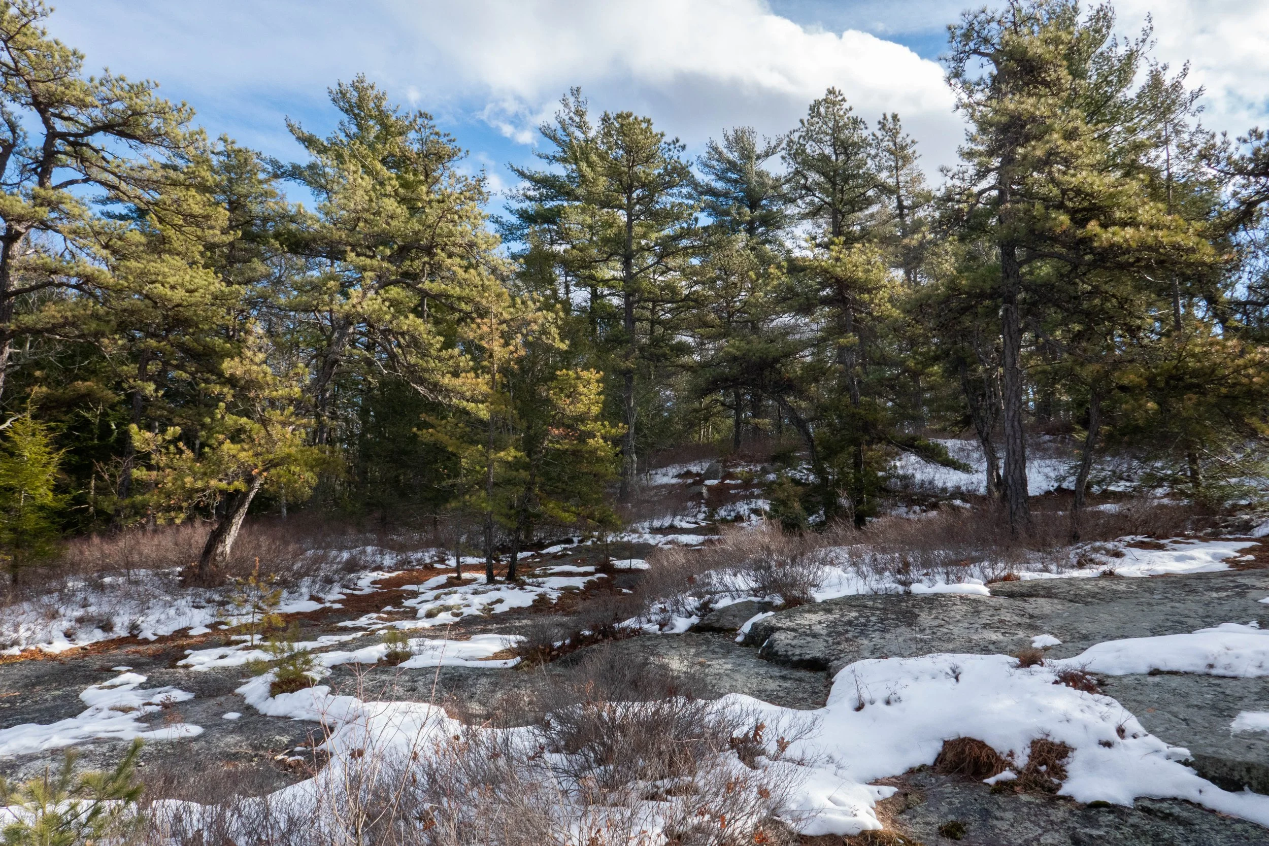
With the freeze-thaw conditions over the past week or so, I knew the terrain would be a mixed bag of mud, snow and hard-pack ice requiring traction. We brought our microspikes and snowshoes, which I keep in the back of my car throughout the winter just in case there’s enough snow for snowshoeing. I’d studied the winter recreation map, as some trails are closed to hikers during the winter, and chose the Mossy Glen Trail to Lower Awosting Carriage Road to the lake and back.
We entered the main parking area just off Route 44, where there is a kiosk, and a helpful ranger handed us a map and advised us on trail conditions that would require microspikes throughout. There was a $10 fee, which goes back to fund the park, which I did not mind paying. To be honest, I’m so used to hiking in remote areas with no facilities or information that sometimes I really appreciate a nice, paved parking area with bathroom facilities and a visitor center!
The morning was chilly, but there was no wind, and the sun was glistening on the ice-covered carriage road, which begins the hike. Then we entered the glen, which runs along the Peterskill stream. The trail undulated through beautiful hemlock, pitch pine, hardwoods, and rhododendron tunnels. There were wooden bridges to cross over the stream and wooden planks to navigate along the trail. Along Peterskill stream, we walked across large flat rocks layered in about six inches of hard-pack ice. The day could not have been more beautiful.
The Mossy Glen Trail terminates at the junction for the Blueberry Run footpath. You can continue south on the Blueberry Run Trail up to Castle Point Ledge, or north, crossing back over Peterskill to the Lower Awosting Carriage Road. We chose to cross back over the stream, continue southwest to Lake Awosting, and then head back along the carriage road to return to the trailhead. Lake Awosting is one of The Gunks’ five naturally occurring “sky lakes.” It was looking pretty well frozen today.
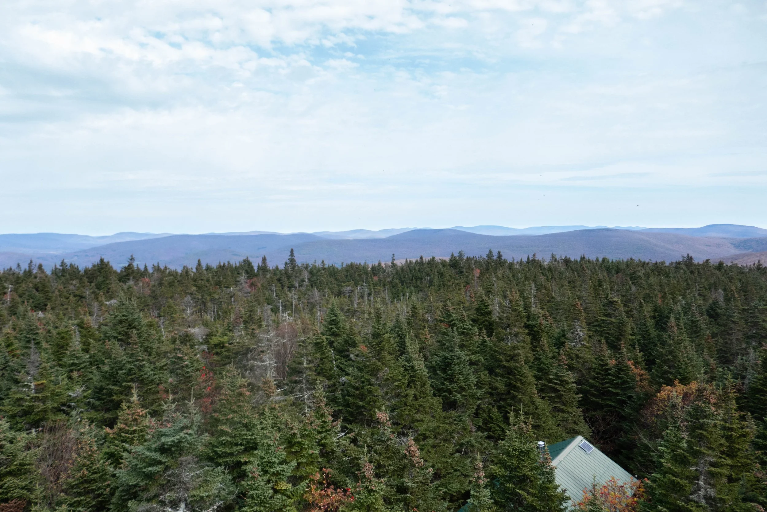
After checking out the lake, we made our way back, crunching along the carriage road in our microspikes. From here we caught a glimpse of the Catskills just north in the distance. We passed a few people out for a walk with their dogs, some wearing traction and some slipping and sliding without. It was about 12:30 pm, and we decided to grab lunch and a couple of brews up the road at Rough Cut Brewing. By the time we were ready to get back on the road, the sun was covered by clouds, the winds were picking up, and there were a few snow showers passing through. We got back to the city just in time to enjoy the rest of the evening, warm, cozy, and satisfied with our much-needed time spent in nature.
Click “Read More” below for more photos.
Read More