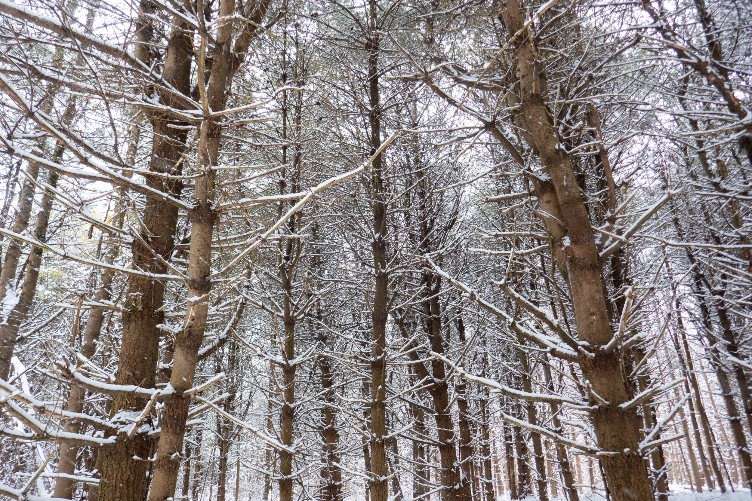
It was a beautiful day at Minnewaska State Park. There was much more snow than the last time we were here a few weeks ago, when it was mostly hard-packed ice on the trail. This time, the ice was covered by a few more inches of snow, but we were able to hike in microspikes and didn’t need to switch into snowshoes.
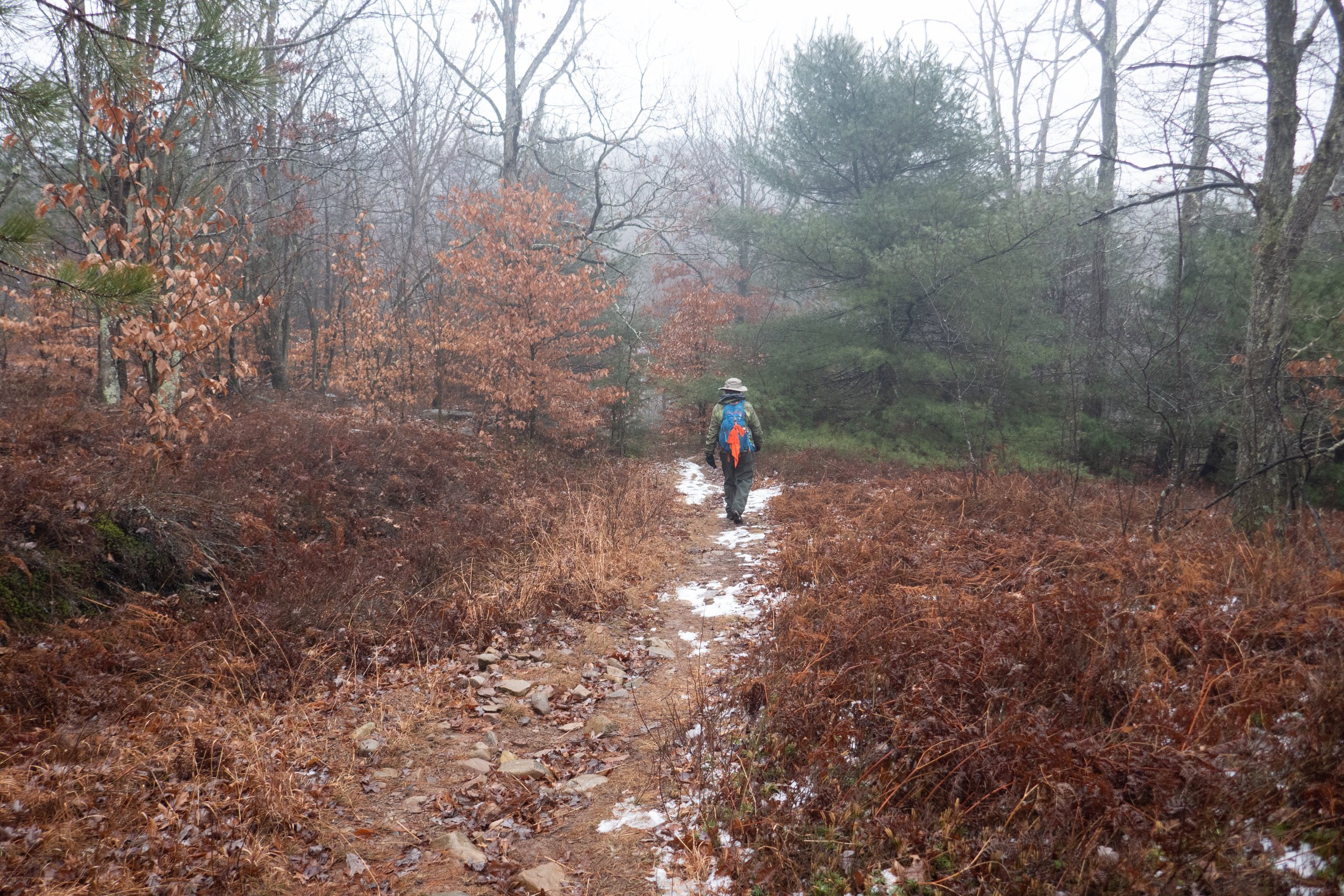
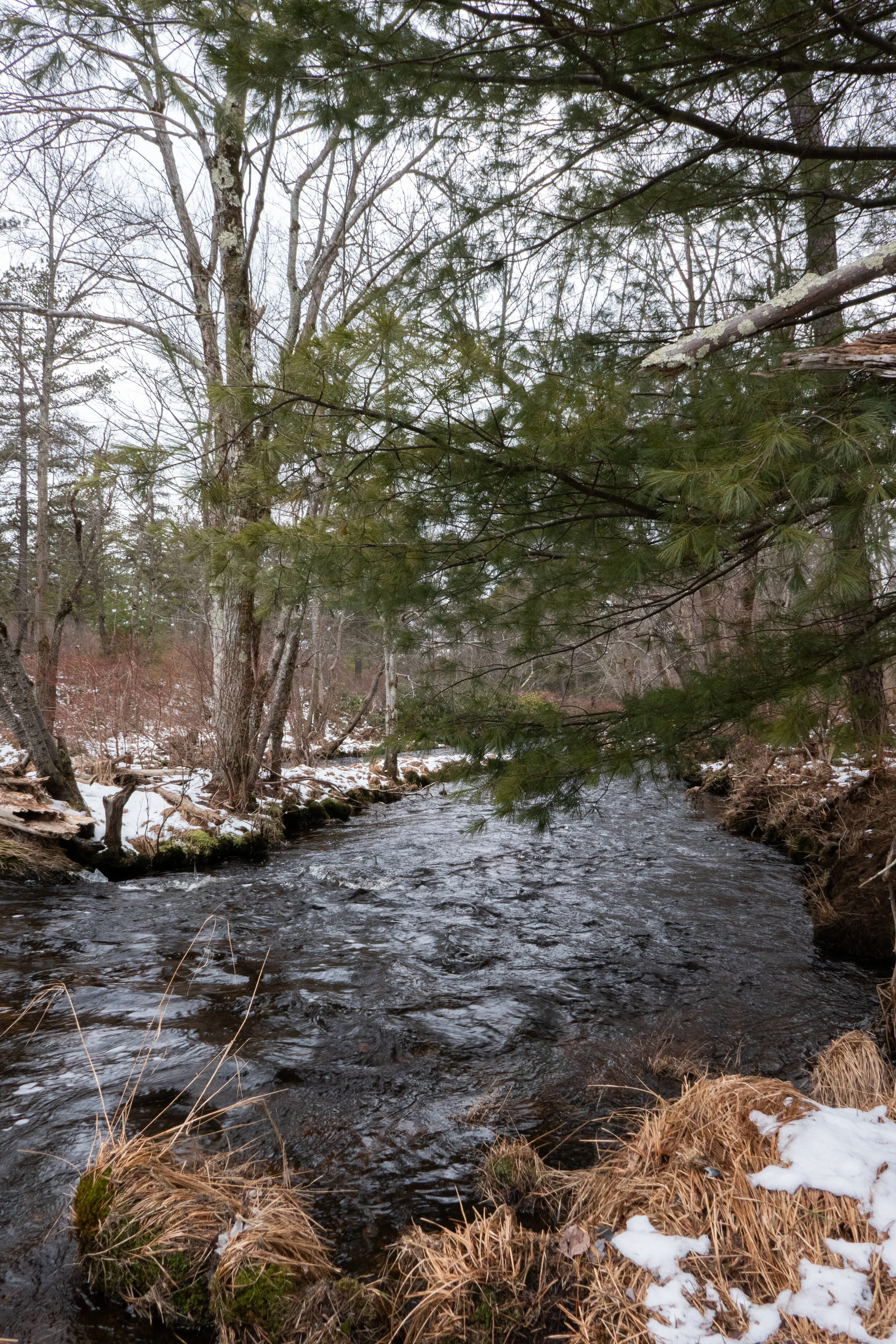
We hiked the Mossy Glen Trail, as we did last time, and thought we might continue on to the viewpoint at Castle Rock. But the trees were heavy with snowmelt, and we were getting a little wet ducking under the rhododendrons and brushing past the pines. It was a bit warmer today, even though the sun never came out.
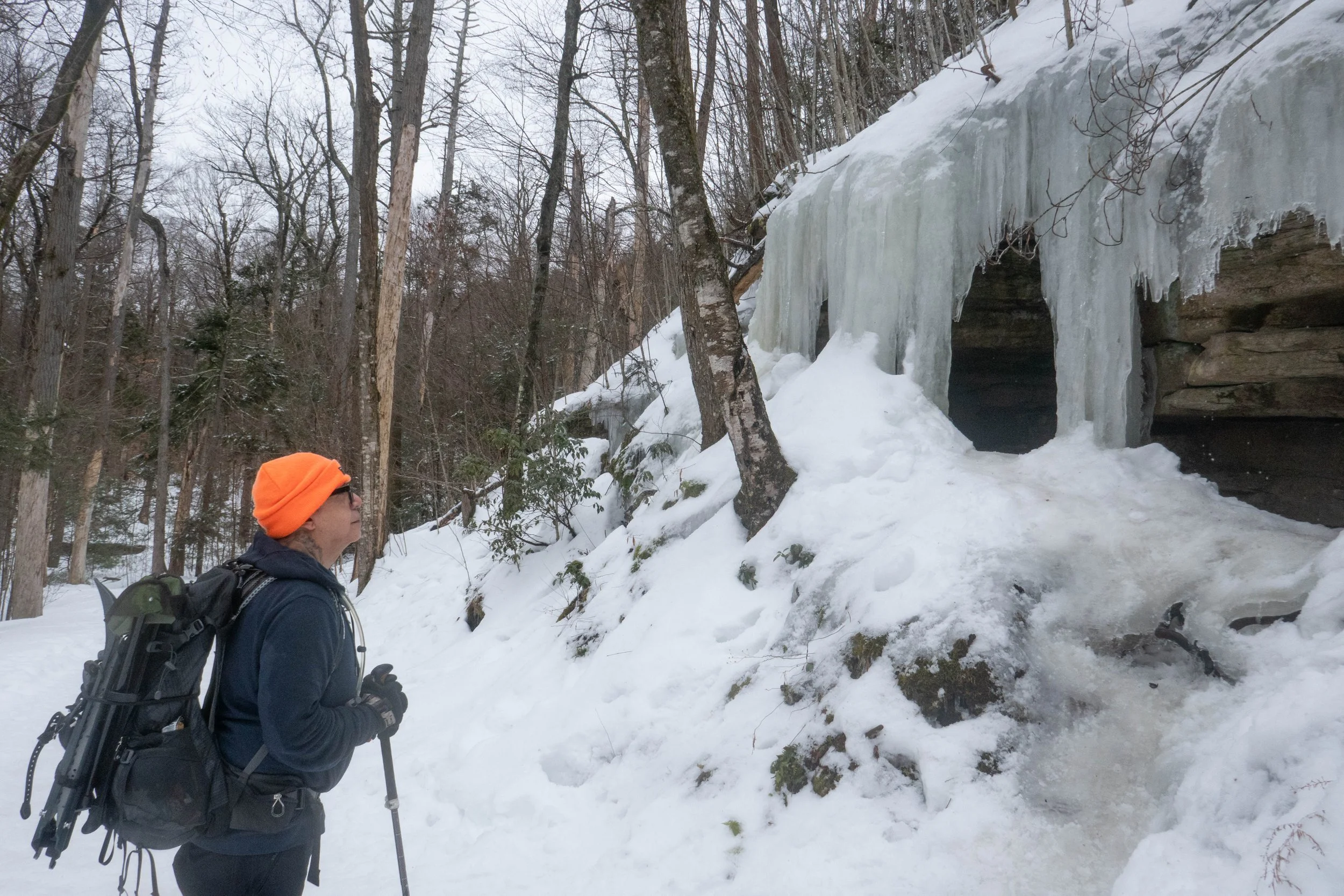
When we reached the end of Mossy Glen, we decided to head back the way we came and enjoy the trail in the opposite direction. When we arrived back at the parking lot, it was still fairly early, so we took the Awosting Falls Trail to see the falls, which we’d never been to before. There were beautiful ice flows along the trail, and near the falls we saw blue ice.
I made a note to continue on this trail next time.
After the hike, we stopped at Rough Cut Brewing for burgers and IPAs. It was a great day.
Click “Read More” below for more photos.
Read More