Bethlehem

Janet Johnston Housenick & William D. Housenick Memorial Park, Winter Solstice Morning Walk, December 21, 2023

The Janet Johnston Housenick & William D. Housenick Memorial Park and Archibald Mansion has become my favorite place for a nearby walk, morning run or birdwatching. This is a birding hotspot! I’m starting to recognize the regulars who come every day with their binoculars and cameras. I discovered the park in October. I had no idea it was even here. There’s a paved walking path that’s great for running and exercising and afterwards, you can take a walk along the Monocacy Creek and past the Wetlands. Today I came with my husband for a slow, peaceful walk. There was quite a bit of bird action and we were treated to a a fox as he (or she) displayed her hunting skills as she/he caught what appeared to be a large rodent. There’s always something magical here at the park. I’ve spotted many species of birds including bald eagles, red tail hawks and pileated woodpeckers. Enjoy this short series of photos I took on our walk today on the morning of the winter solstice.

Nothstein Preserve, Exploring Cranberry Creek and Red Rock Quarry, March 14, 2021

Nothstein Preserve, Exploring Cranberry Creek and Red Rock Quarry, March 14, 2021

I’m finding some really great nature preserves here in the Keystone state. This past Saturday we ventured off to explore the Nothstein Preserve located in Paradise Township in Monroe County. The hike took us through a variety of different terrain, along the ravine of Cranberry Creek and up to a red rock quarry with views extending from east to west across the ridge to the surrounding preserves. We started at the trailhead off Cranberry Creek Road and headed north on a wide path in a counter clockwise direction. The forest was mostly hardwood dappled with tall hemlock trees. Immediately my ears were filled with the pleasant harmony of morning birdsong. We passed by marshes, bogs and small tributaries until we reached a primitive bridge crossing over the pristine waters of Cranberry Creek. We took a moment to branch off and explore its banks and the surrounding feeder creeks before continuing on a single track where we began to ascend gently upward. The trail reached an intersection where we turned northwest. I spotted some train tracks above us running parallel to our path. We made several primitive creek crossings over the crystal clear waters flowing down the mountain and over thick, bright green moss. Now the trail began to descend southwest. The forest became dense with hemlock, and I could hear the sound of rushing water flowing just beyond the trees. The path opened up to reveal another bridge crossing over the fast moving Cranberry Creek. Lined with rhododendron just beyond the bridge, the terrain became a snow covered single track leading us upward above the ravine. We made our way up the trail being careful on the icy patches of snow until reaching a vista of the beautiful cascading waters below. I made sure to get some photos from above, but I wanted to take a closer look. We then backtracked and made our way to a section of trail following along the edge creek where we could enjoy a closer perspective of the sights and sounds of the waterfalls and tumbling cascades. Eventually, we backtracked crossing over the bridge once again and up through the hard packed snow back to the top of the ravine. Soon, the trail began to move away from the creek and the forest became even more dense with tall stands of hemlock and oak. We crossed over more small tributaries being careful not to slip on the moss covered rocks. I’m not sure if it was the tall stands of pine or the way the sunlight was shining through, but this section of trail reminded me a little bit of my beloved Angeles National Forest. It was another lovely section of trail. The path widened again and took us under a canopy of pine. The trail became a bed of soft pine needles beneath our feet. As we travelled up the slope we were led to an old stone red rock quarry. Two large ravens suddenly emerged from the trees and soared across the blue sky above. Again, I felt at home as I was reminded of my life in California where there were always ravens to accompany me along my hikes in the higher elevations. As we traversed along the edge of the quarry, we were treated with sweeping views across the gorge and the ridge beyond. I was awe struck at how a place so beautiful can be so close to civilization. We spent some time exploring around the quarry before moving on, back into the hardwoods and finally looping back down to the woodland path on which we started. It was an absolutely amazing day and a beautiful preserve full of wild, natural beauty to explore and admire.

Click on “Read More” below for more photos.

Read More

St. Michael's Cemetery, December 12, 2020

St. Michael's Cemetery, December 12, 2020

Foggy weather made for an eerie day of photos at St. Michael’s Cemetery in Bethlehem, PA. The land for this cemetery that sits on a northern, eroding slope was donated in 1867 by Asa Packer to create the first burial place in Bethlehem for immigrants who worked and died here. At that time, families staked out their own burial plots and maintained them without help of the church. There are first-hand stories of people who witnessed middle-of-the-night burials without permission from the church or formal services for their beloved dead. There is only one noted existing map of the burial locations created by William Sinnott in 1930. Sinnott tried to establish some sort of order to St. Michael’s by mapping out the graves using data he found on the ground. The records are incomplete and many of the grave sites, especially those located higher up the hillside and deeper into the woods are missing. Over the years, severe erosion, wall failure and exposure to poor weather conditions caused many of the headstones to fall over, slide down the slope or become buried. The evidence of this was very apparent as I traversed higher up the hillside and farther back into the woods through leaf debris, decaying vegetation and deep ruts in the uneven ground that exposed broken or mostly buried gravestones. Many gravestones were lost until recent times when volunteers unearthed over 500 stones that had been hidden beneath the sod for decades. Today St. Michael’s is cared for by a group of folks who run a Facebook page called Friends of Saint Michaels. It is their hope to raise awareness of the historic and cultural value of the cemetery and they’re always looking for volunteers to help them with their efforts. It is a huge project to take on and vandalism, eroding soil and harsh weather do not make this an easy task.

Read More

A Walk Along the Monocacy Nature Trail & the First Snowfall of 2020 in Bethlehem, Pennsylvania, December 9, 2020

A Walk Along the Monocacy Nature Trail & the First Snowfall of 2020 in Bethlehem, Pennsylvania, December 9, 2020

Wednesday was the first snowfall of 2020 in Bethlehem, Pennsylvania, and I was not going to let the beauty of it pass by without getting some local photos. The Monocacy Nature Trail is a place I sometimes like to come to in the mornings to take in the fresh air and enjoy the wildlife before getting my day started. I was so excited to see it covered in a fresh of dusting snow. While I’m not really sure what to expect here in NEPA, winter in SoCal was my favorite time of year to drive up to the mountains and enjoy the weather. I’m looking forward to seeing what the months ahead will bring and hopefully getting in some snowshoeing.

Read More

Bruce Lake Natural Area, Delaware State Forest, Promised Land State Park, Rock Oak Trail, Telephone Trail, Bruce Lake Trail, Rock Oak Ridge Trail Loop, 10.2 Miles RT, September 20, 2020

Bruce Lake Natural Area, Delaware State Forest, Promised Land State Park, Rock Oak Trail, Telephone Trail, Bruce Lake Trail, Rock Oak Ridge Trail Loop, 10.2 Miles RT,  September 20, 2020

This morning I headed up to the Pocono Mountains to Promised Land State Park in the Delaware State Forest. Promised Land is a huge area with about 50 miles of trails in a very well organized trail system. As per usual, I wanted to hike on a less populated trail, so I looked for the most remote looking area I could see on the map. I found a trail I could access off the 390 from a turnout on North Shore Road where I could link up to the Bruce Lake Trail outside of Promised Land and it would take me to Bruce Lake. According to the park map, the route was mostly a hiking only trail (no bikes) which was a plus, and it was away from the beaches and campgrounds near Promised Land Lake which meant it should be pretty isolated. From the parking turn out I got on the Rock Oak Trail heading east. The path started out wide and grassy through the shaded forest. The ground was a bit rocky as per usual Pennsylvania terrain, but I could still enjoy the scenery and not have to keep looking down to watch my footing. At the first junction I continued eastward as the trail turned into the Telephone Trail. From here it got interesting. I was rock hopping boulders for the majority of this section and bushwhacking through huge towers of rhododendrons. I felt like I was in a jungle, but I definitely was not bored. It was actually fun. As much as I complained about the rocks being a pain in my butt, I did enjoy the test in agility. As I neared the end of the Telephone Trail, I found the junction for the Bruce Lake Trail. This would take me northbound to the natural glacial lake where I could sit and enjoy the scenery before looping around the lake to make my way back. The Bruce Lake Trail started out pretty well maintained, but eventually I was back to bushwhacking my way through. Thankfully, the rocks weren’t that bad. Eventually, I reached another junction to make the loop around the lake. I headed east in a counterclockwise direction. Now the trail was wider and way less overgrown. I could see the lake to my left as I hiked along this beautiful section of trail. As I approached the north side of the lake, the trail came to an opening at the shore. It was absolutely beautiful. All that rock hopping and navigating through brush made it worth it for these views without a soul in sight. I took a nice long break here, had a sandwich and enjoyed the quite. When it was time to return, I made use of the West Bruce Lake Trail heading southbound. This trail was REALLY overgrown and on top of that it was right at the shore of the wetlands so it was super muddy. Luckily, it was still easy to make out the trial and the blue blaze markers/guides were always easy to find. I finished off the day by continuing the loop on the Rock Oak Ridge trail and then eventually the Rock Oak Trial back to the trailhead. It was a fun day. The peace and quiet and views of the lake were definitely worth the effort. I would love to come back again and see more of this area, especially in the next month because the leaves will be changing colors and it will be spectacular.

Read More

A walk between storms, Monocacy Way, August 2, 2020

A walk between storms, Monocacy Way, August 2, 2020

I woke up to the sound of pouring rain coming from Tropical Storm Isaias today. I love listening to the sound of rolling thunder and the feeling of being safe in my bed. There was no rush to go anywhere, so I enjoyed listening to the rain and nodding in and out of sleep. About mid-morning the rain let up, and I left the house and took a walk down by the creek. The mist coming off the water was beautifully eerie. I didn’t see anyone braving the stormy weather save for a few fishermen. The sun was peeking in and out between the gray clouds as I walked the nature trail and crossed over the rail tracks to the meadow. I travelled up and down the hillside admiring the wildflowers, the trees and the stormy sky. The goldenrod is beginning to bloom and I saw some butterflies and clearwing hummingbird moths. The storm was still brewing and so I thought it best to head out before the next round of downpour rolled through. It’s nice to have such a wonderful place to visit that’s so close to home.

Read More

Monocacy Way Trail, Heritage Trail Section 26, Illick's Mill to Schoenersville Road, 2 Mile Nature Walk Out & Back, June 26, 2020

Monocacy Way Trail, Heritage Trail Section 26, Illick's Mill to Schoenersville Road, 2 Mile Nature Walk Out & Back, June 26, 2020

It had been a long couple of months locked away in a city apartment with the Covid pandemic looming over the world. On top of everything I was preparing for a move to eastern Pennsylvania. I was able to get in a few short, local hikes in Griffith Park before I left California, but no wilderness or desert hiking for months. Being away from the backcountry took a toll on my mental and physical well being. It broke my heart to cancel all my plans in Joshua Tree, Idyllwild and the Eastern Sierra, and I was not able to bid what I loved most about California, which were its high-elevation trails, wilderness and desert backcountry a proper farewell. But now I have arrived on the east coast and as the world is beginning to return to what people are referring to as “the new normal”, I am finally starting to feel more like myself again.

Tonight my husband and I began our journey to exploring nature on the east coast. Even though I grew up here, seeing Pennsylvania as an adult is seeing it with a new perspective. We started off with a short walk on a nature trail not far from our home called the Monocacy Way Trail. I used to walk this trail when I lived here over 20 years ago. It has now become part of Historic Bethlehem’s 10.9 mile long Heritage Trail which was designed to give Bethlehem city explorers a taste of Bethlehem history from its Moravian roots to its industrial heyday of the Bethlehem Steel.

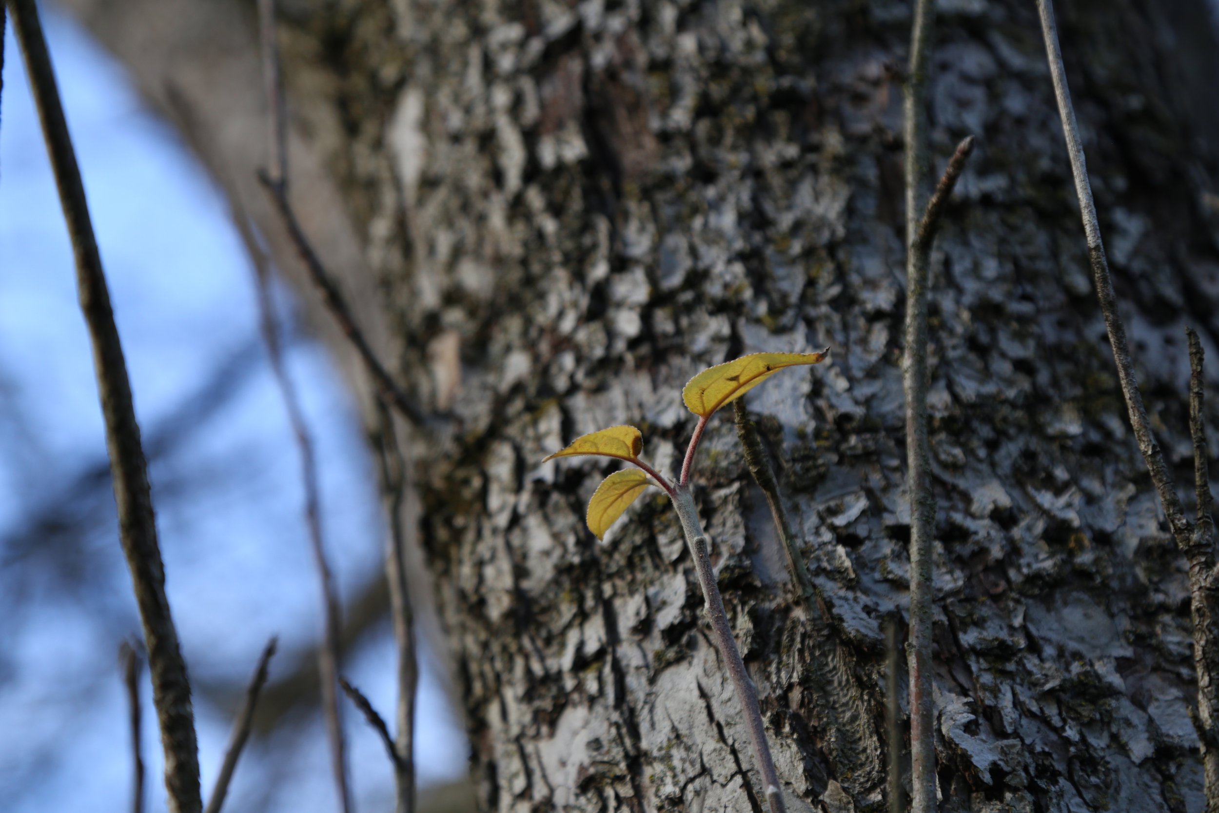
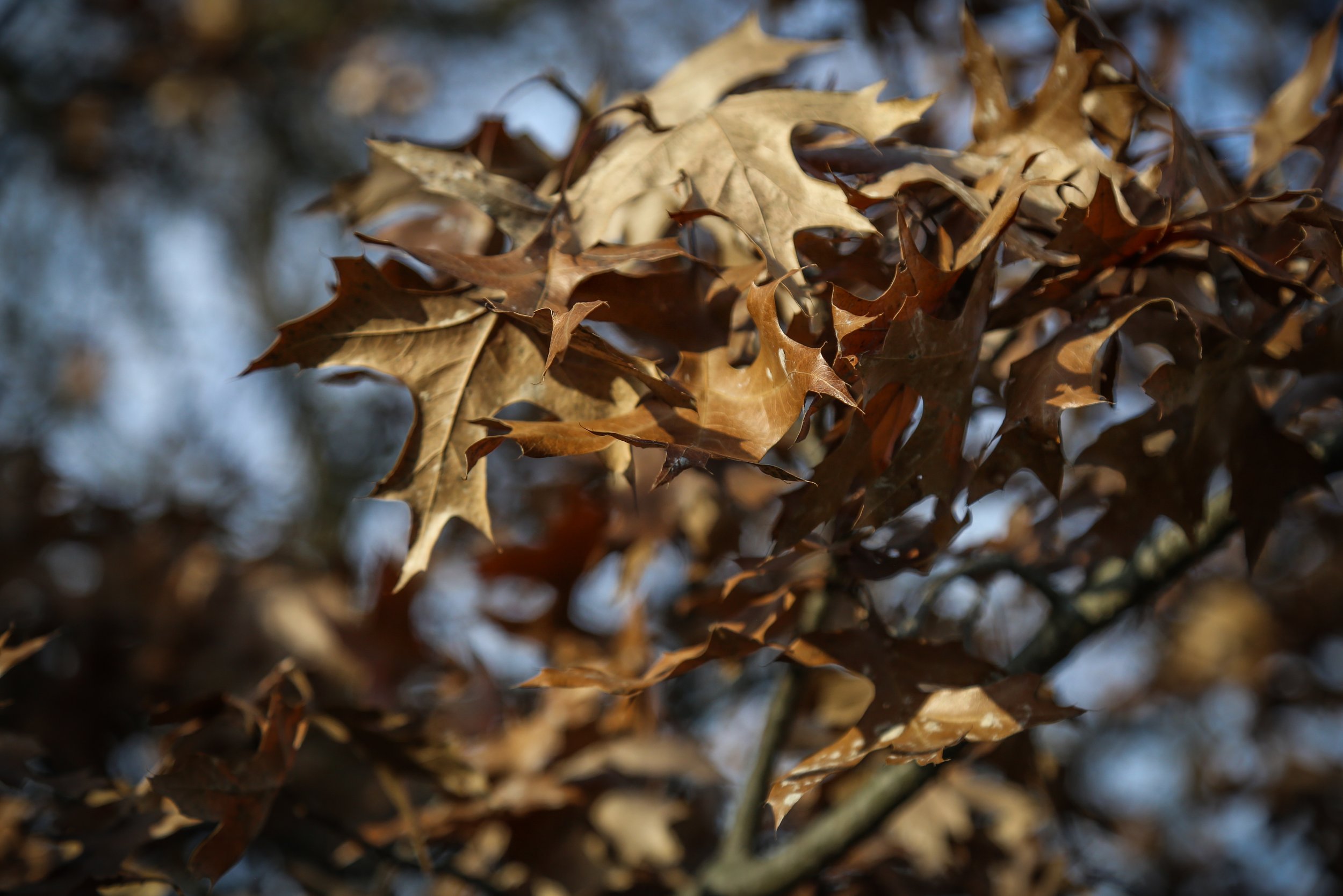
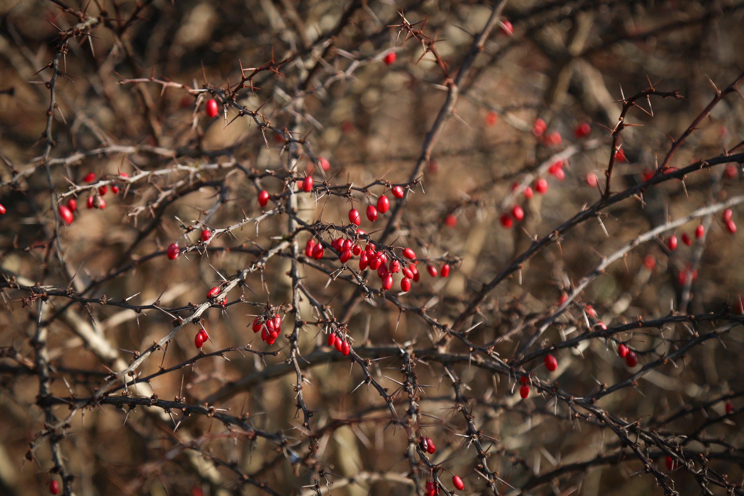
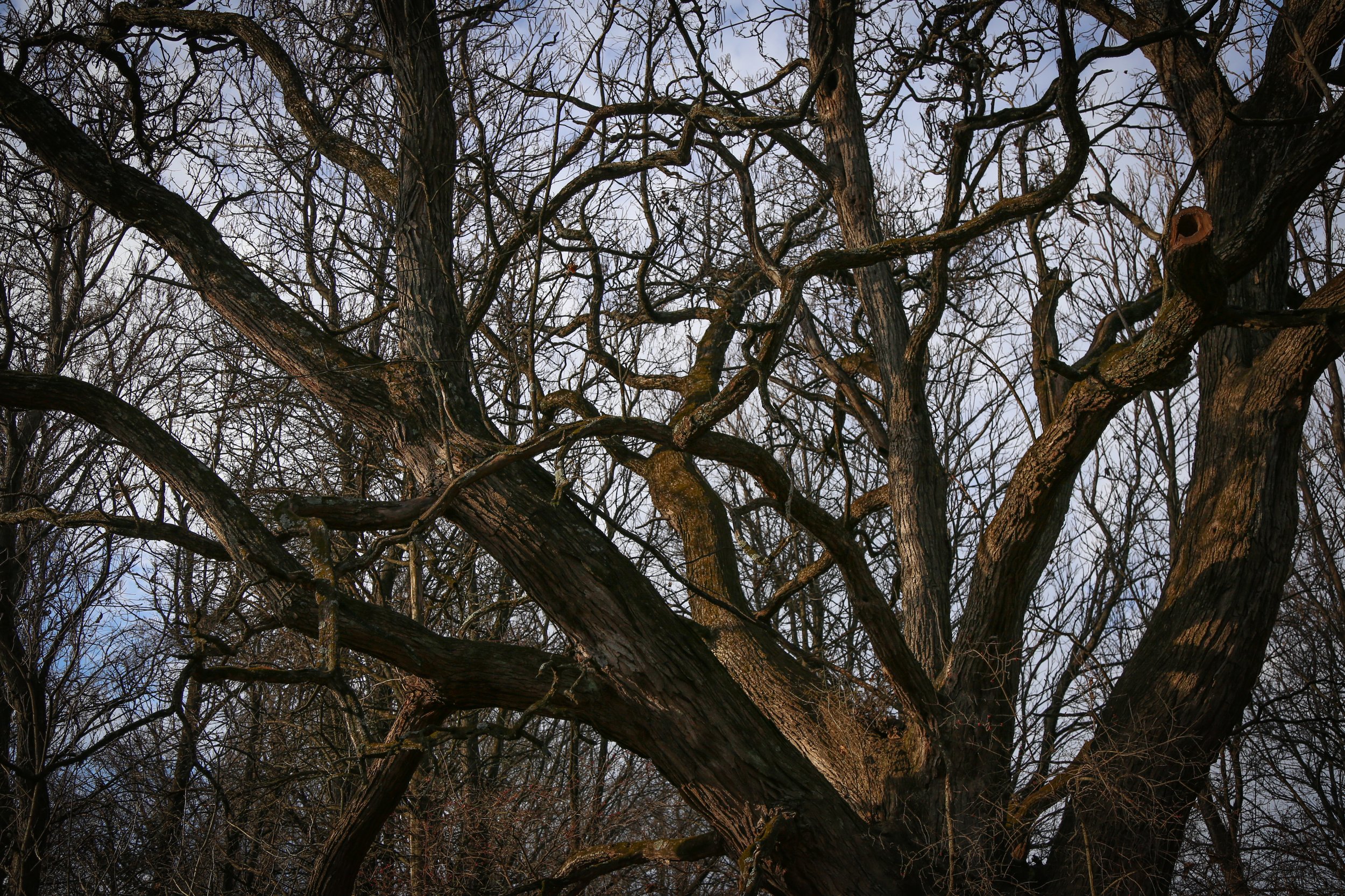
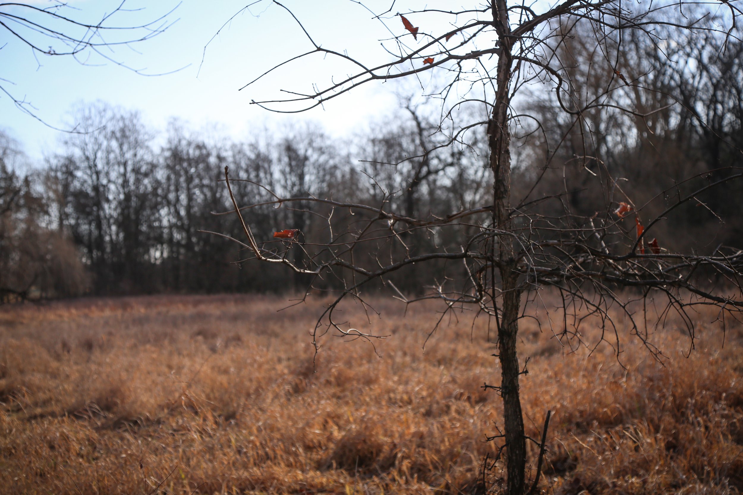
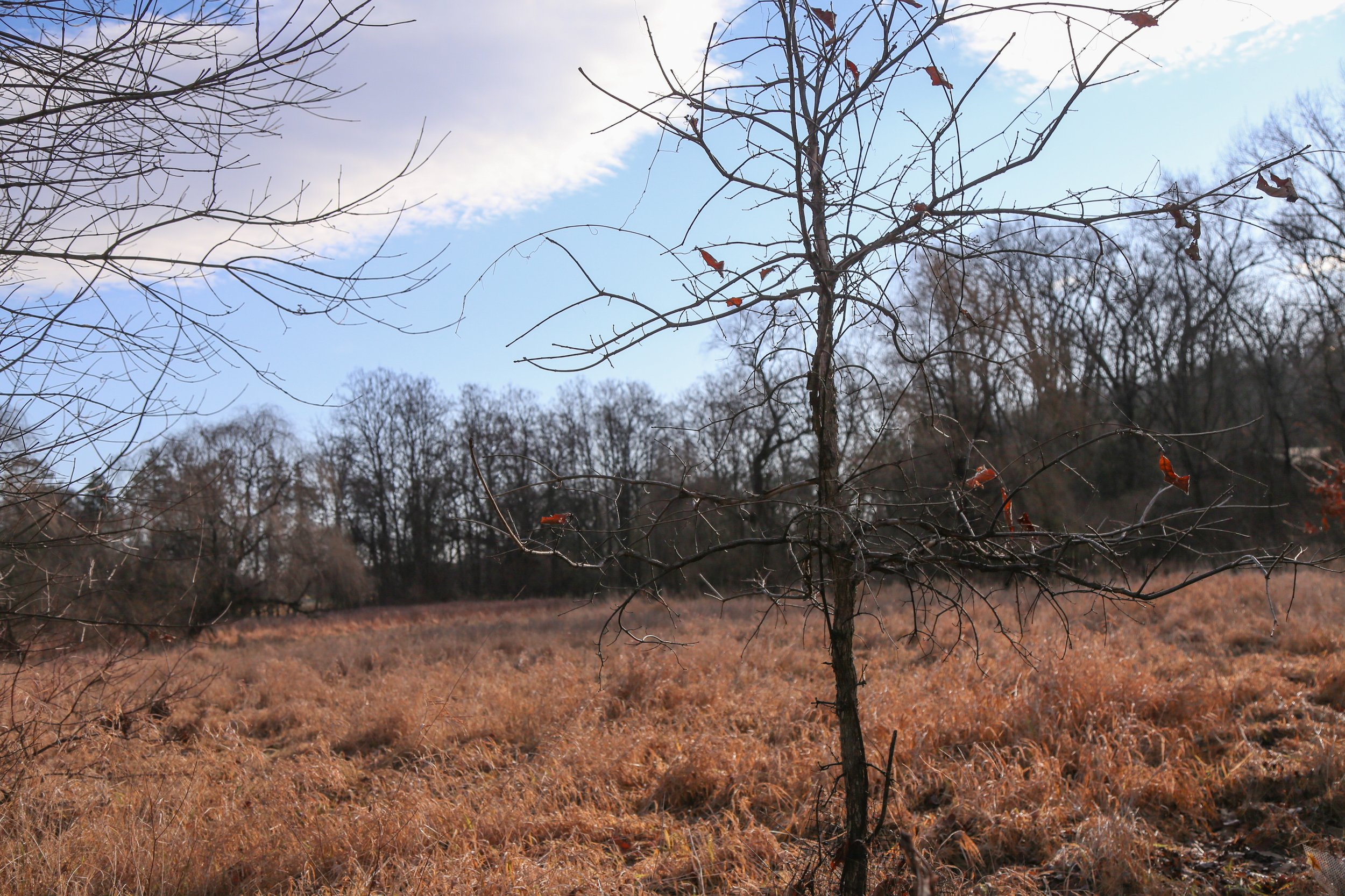
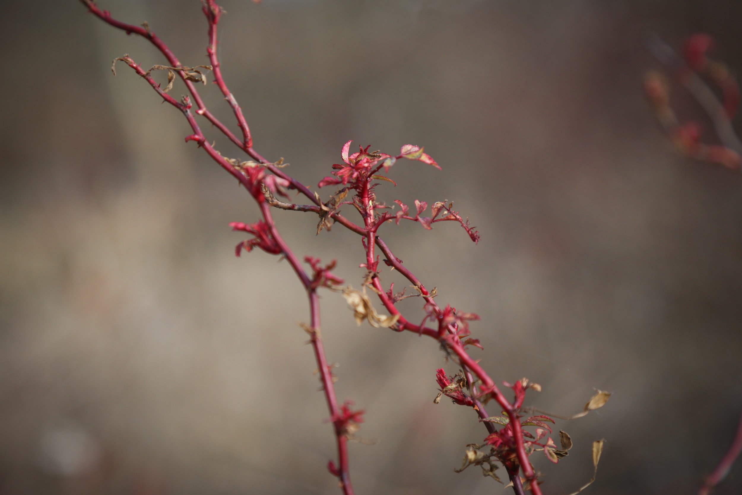
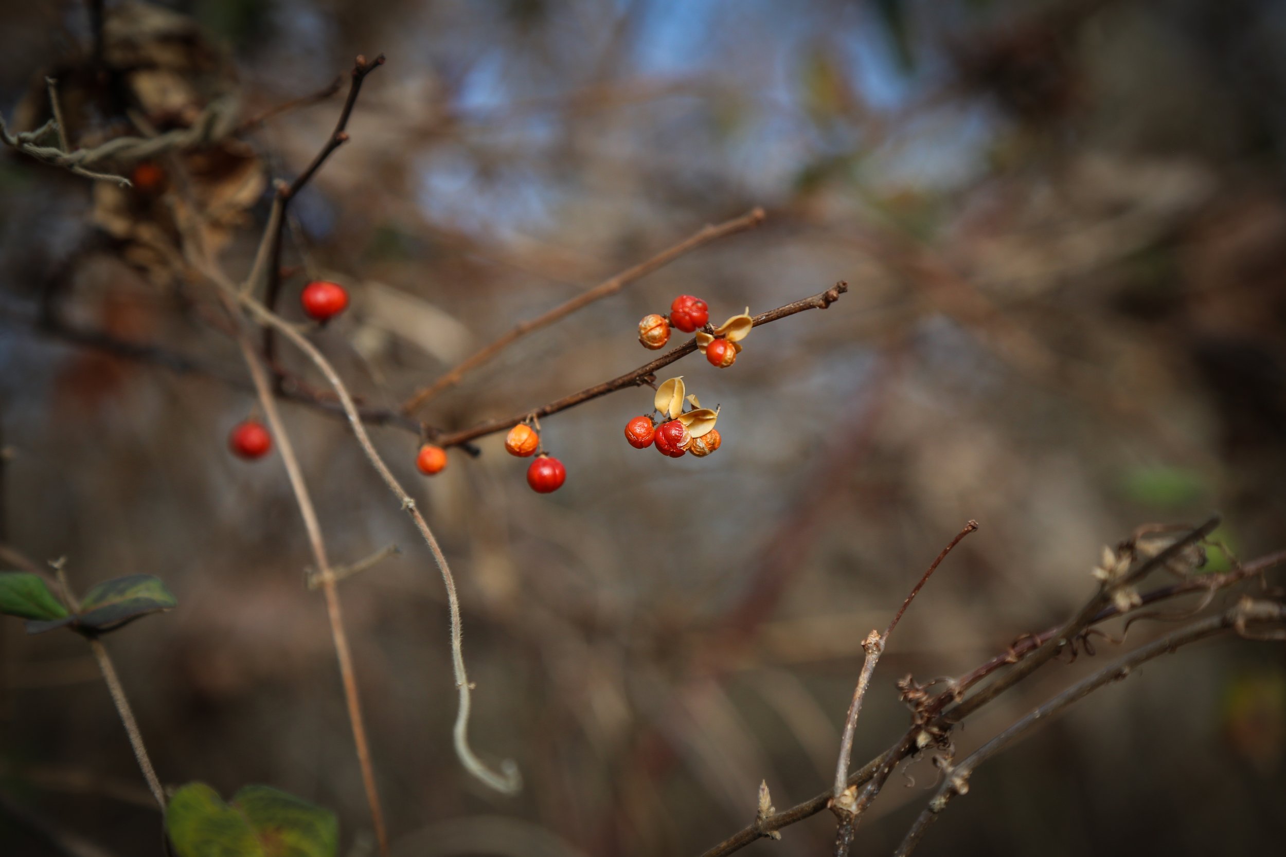
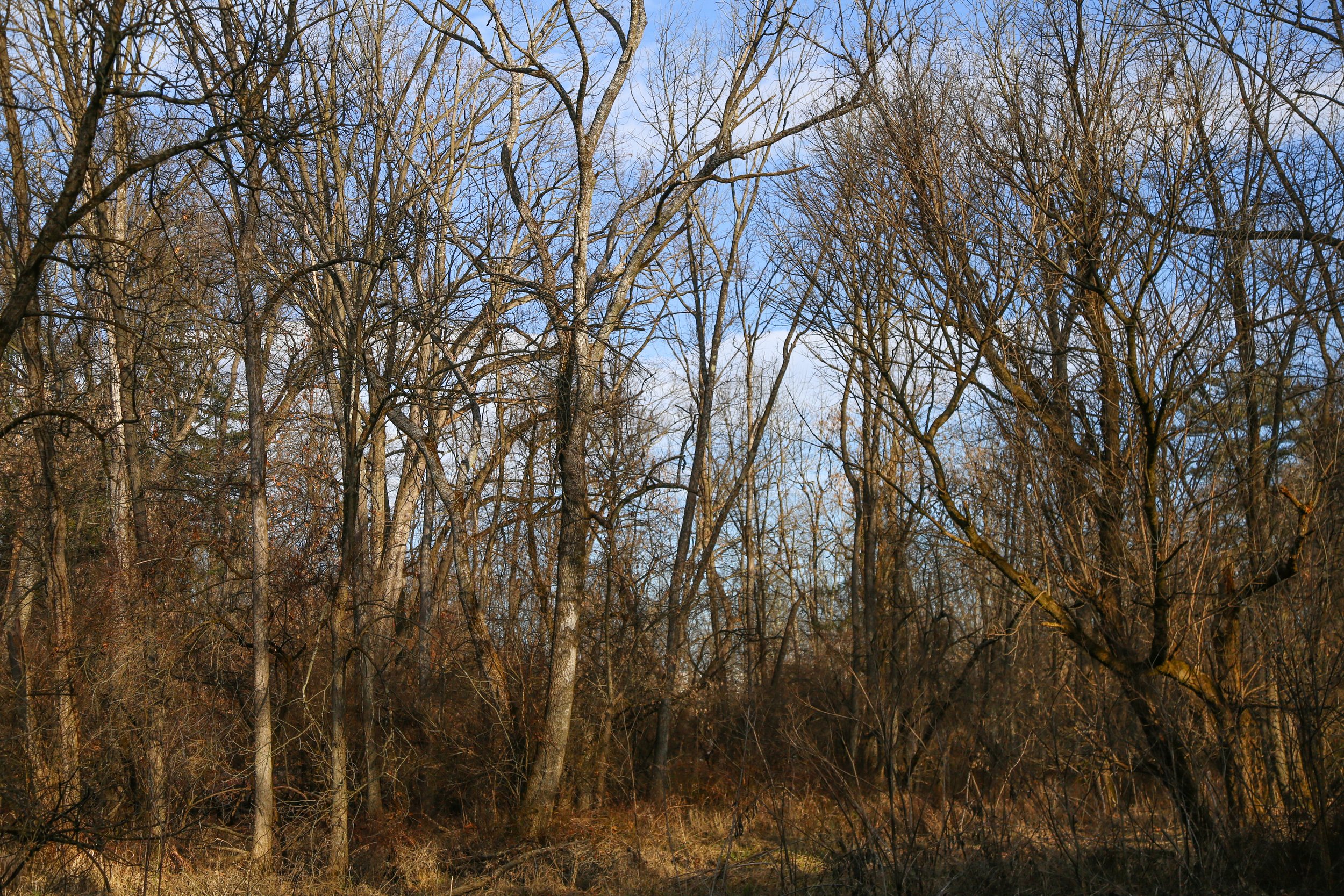
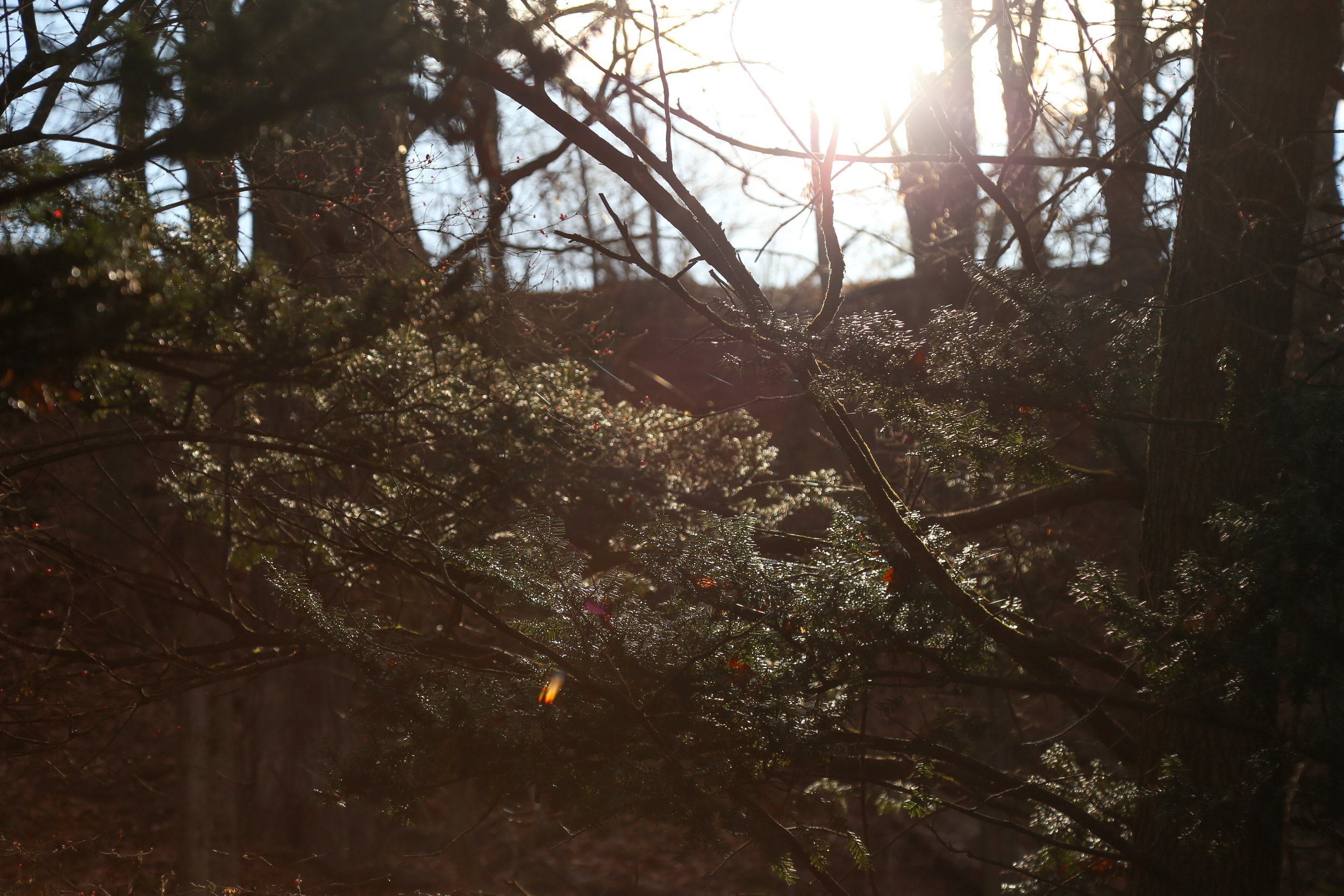
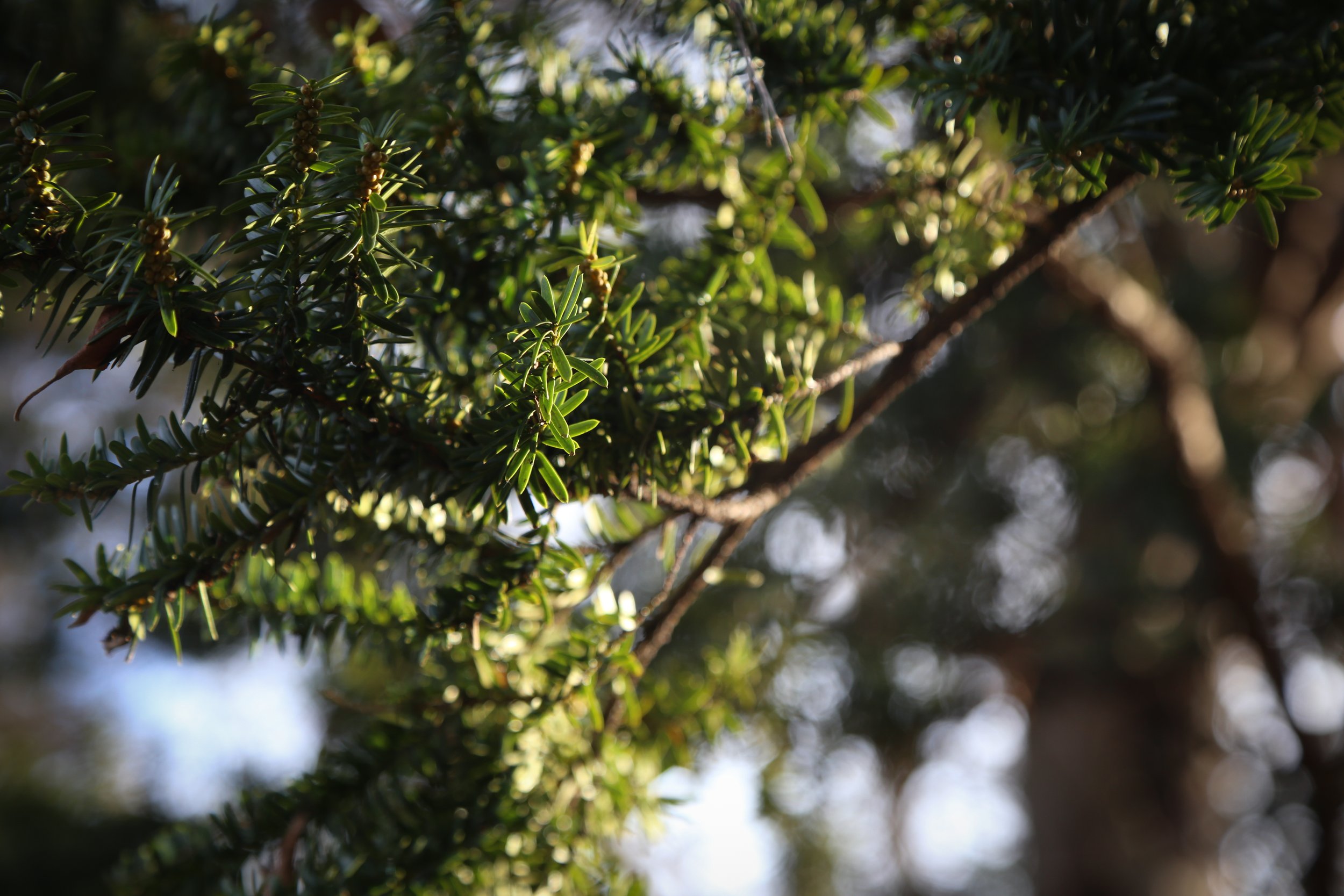
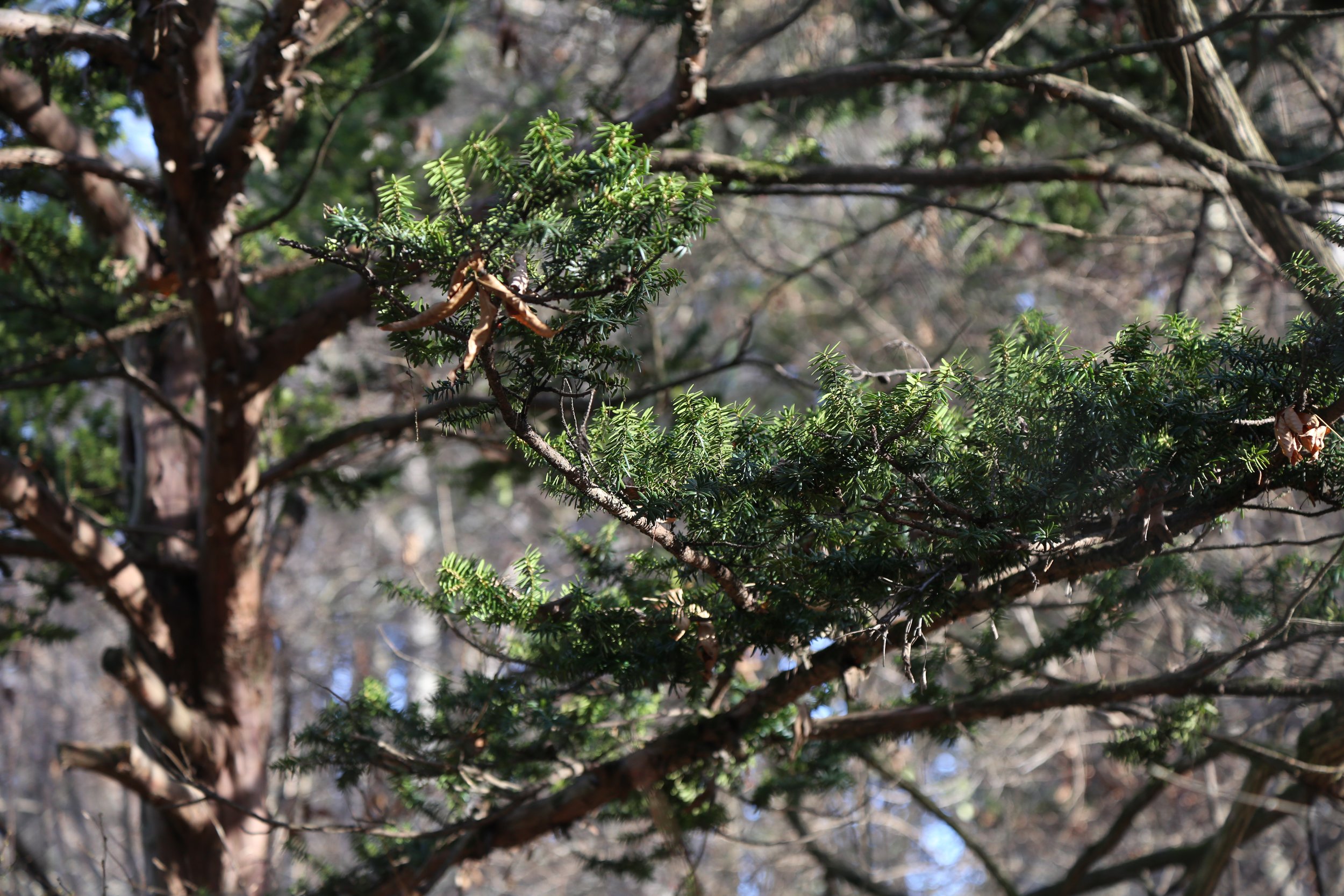
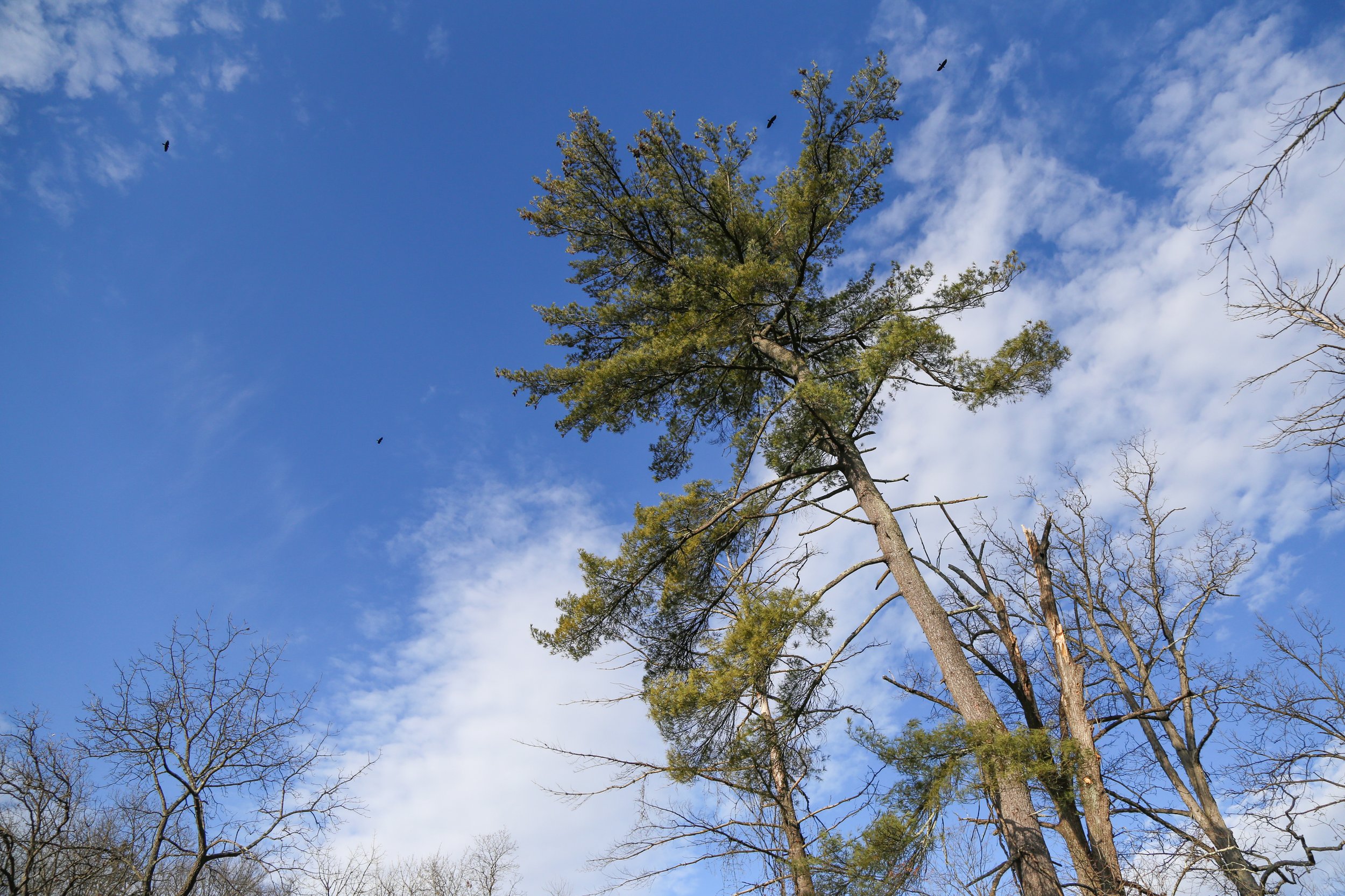
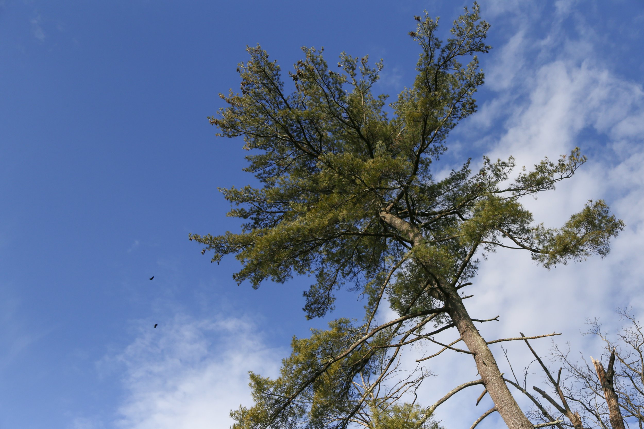
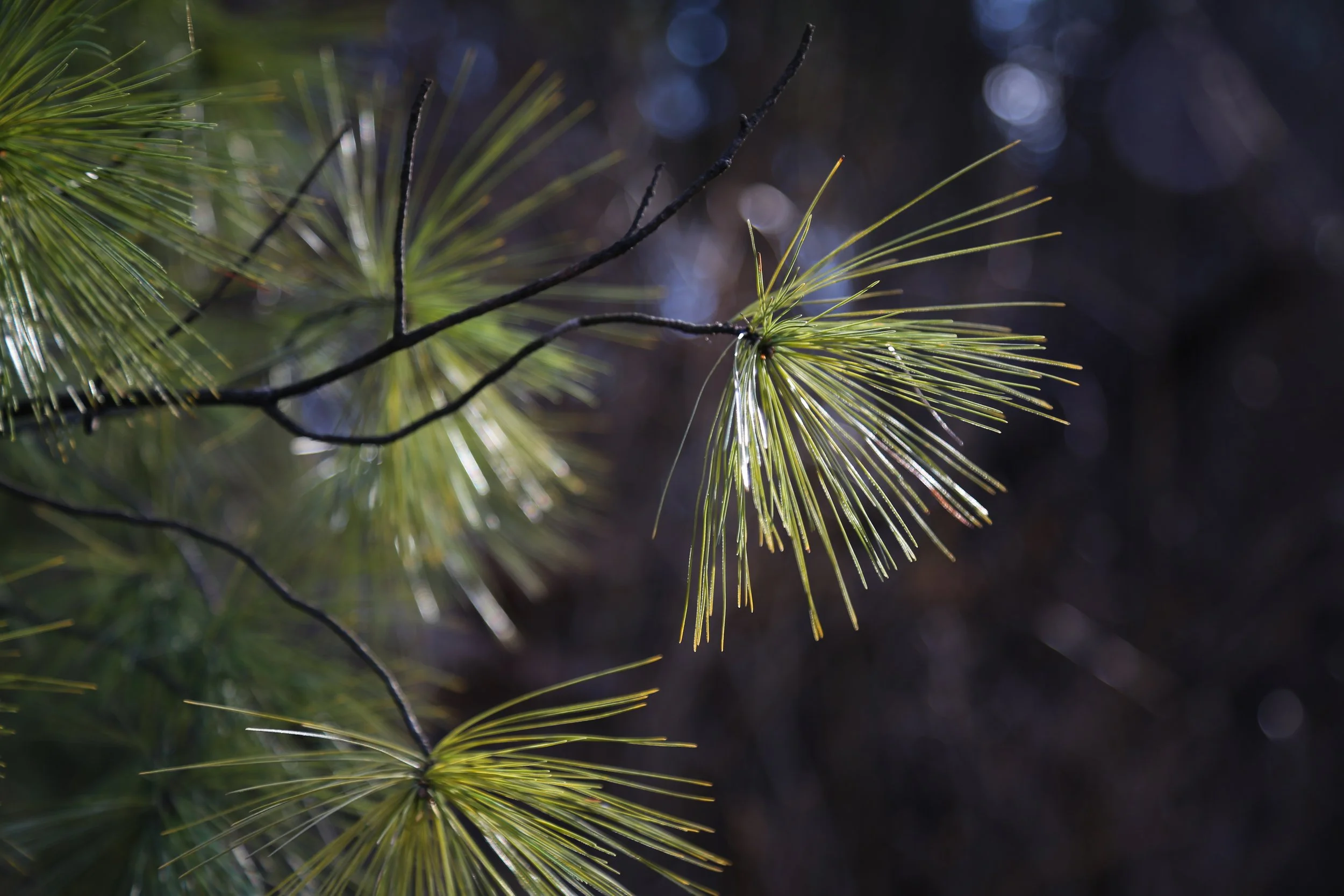
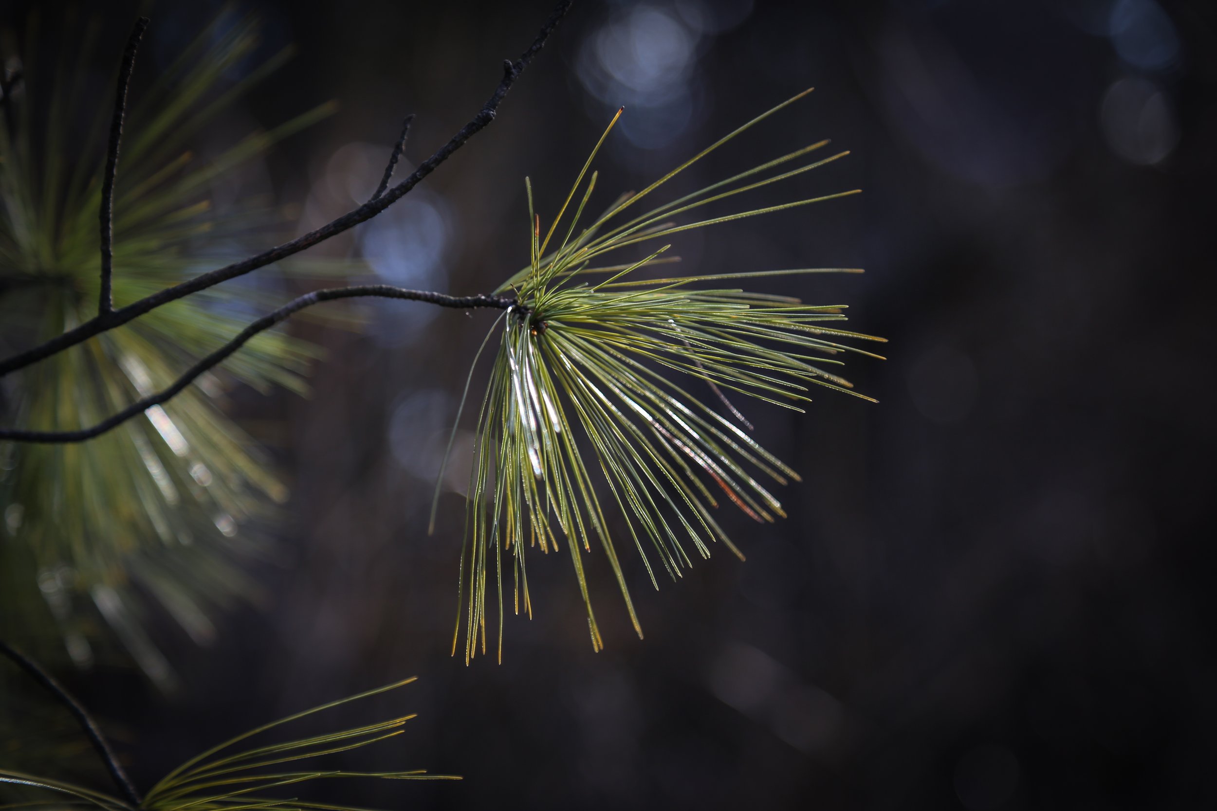
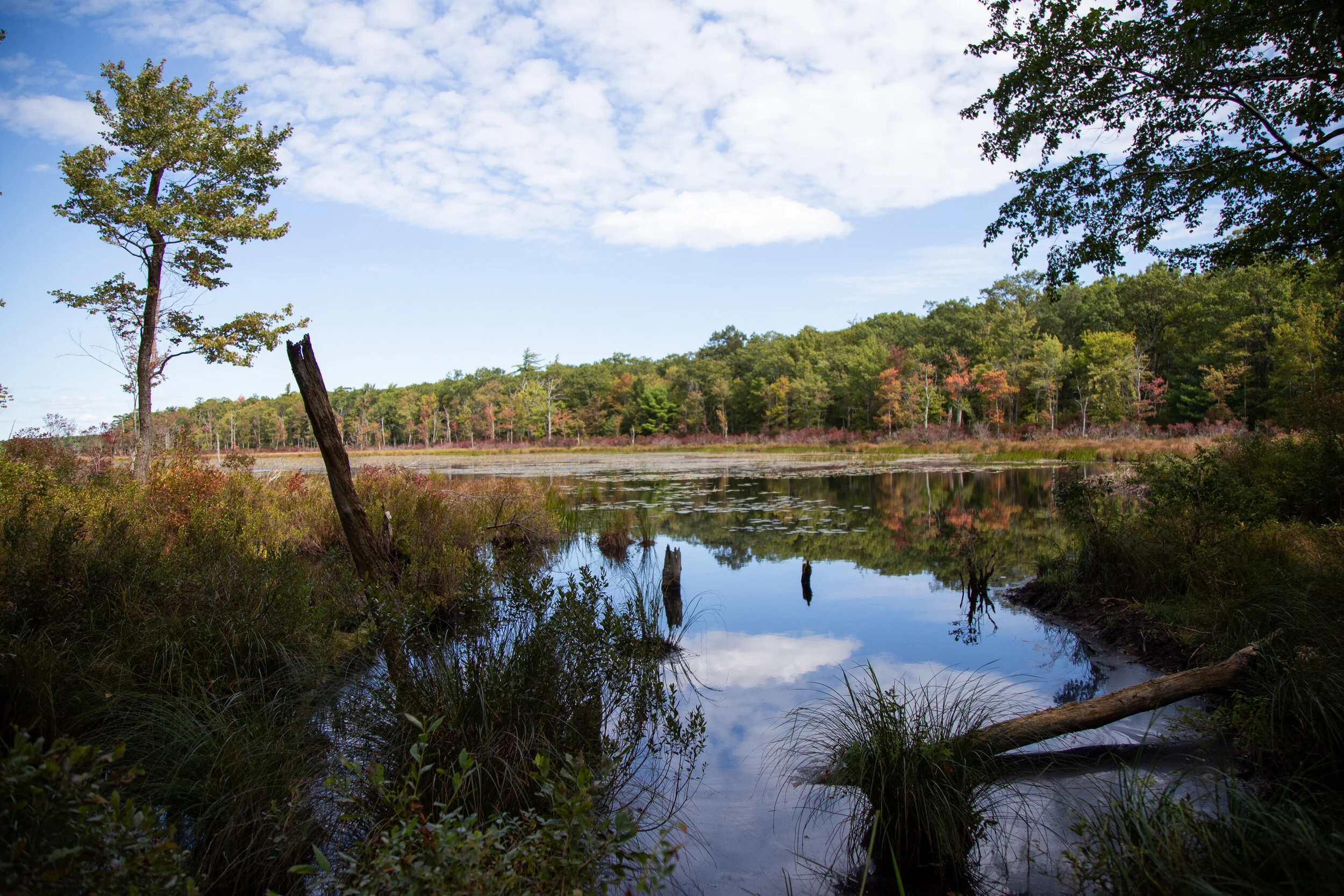
We started at the trailhead at Illick’s Mill* across from Monocacy Park. The trail begins as a paved walkway but quickly turns into a proper dirt track. The first thing I noticed is how much greener everything is compared to Southern California. It’s quite a different color pallet. As I walked the trail became a symphony of birdsong; Gray Catbirds, Wood thrush, Carolina Wren and American Robins. There are many use trails along the path if you want to veer off the main trail and walk along Monocacy Creek. Wildflowers are plentiful here with Forget-me-nots, Honeysuckle, Day Lily, Milkweed and Aster. The trail winds along the creek and eventually crosses over the train tracks. I then passed by an open grassy meadow full of thistle and grazing bunnies. At about .8 miles I arrived at Schoenersville Road. If you cross Schoenersville Road, you will continue on past the Burnside Plantation. It was already dark by this time, so we headed back. As we did the fireflies started to light up the trail, just as I remembered from when I was a kid. This is a nice little nature walk bursting with wildlife such as deer, rabbits, box turtles, birds, etc. Great for a quick dose of nature any time of day.

*A little history about Illick’s Mill: The grist mill was built on the Monocacy Creek by John Peter and his son Joseph in 1856. At that time it operated as a flour and feed company. The Mill changed hands many times over the years opening and closing its doors. In 1935, the Bethlehem Water Authority took over the Mill and the Civilian Conservation Corps and the Works Progress Administration constructed Monocacy Park. Then in 1965 the Mill was restored and reopened as a music venue appealing to Lehigh Valley teenagers. It closed its doors again in 1973. Over the years, the Mill continued to change ownership. But what I remember most about Illick’s Mill were the years it hosted a haunted house attraction run by the Bethlehem Jaycees in the 80s and 90s. In the year 2005, the Mill was added to the National Register of Historic Places. As of today the Mill is home to the Appalachian Mountain Club’s Mid-Atlantic Conservation Office and is available for meetings and events through the City of Bethlehem.

Read More