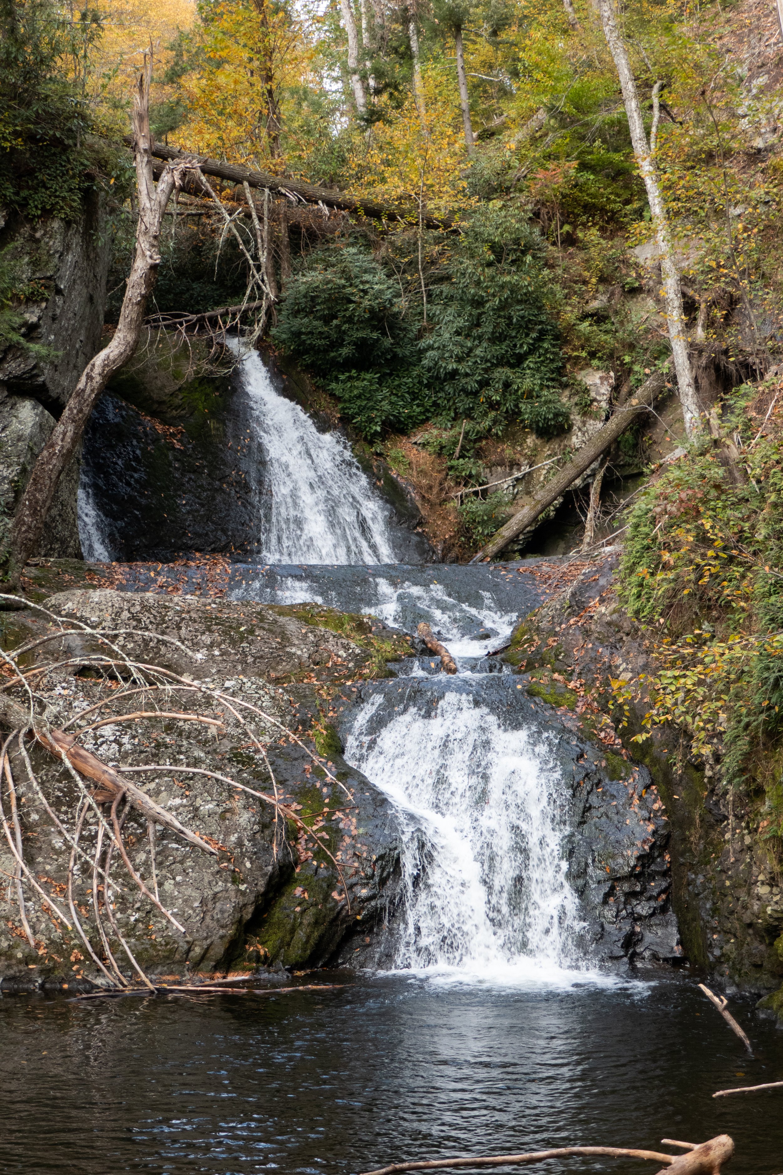
This weekend was another one without high humidity, so I had to take advantage and get out on the trail. We went back to the Delaware Water Gap with plans to hike from Millbrook Village, starting out on the Orchard Trail, up to Hamilton Ridge, then descending on the Pioneer Trail with a side trip to the river. From there, we could either hike out to the waterfall at VanCampen’s Glen and back, or just loop around on Hamilton Ridge, depending on how hot it got.
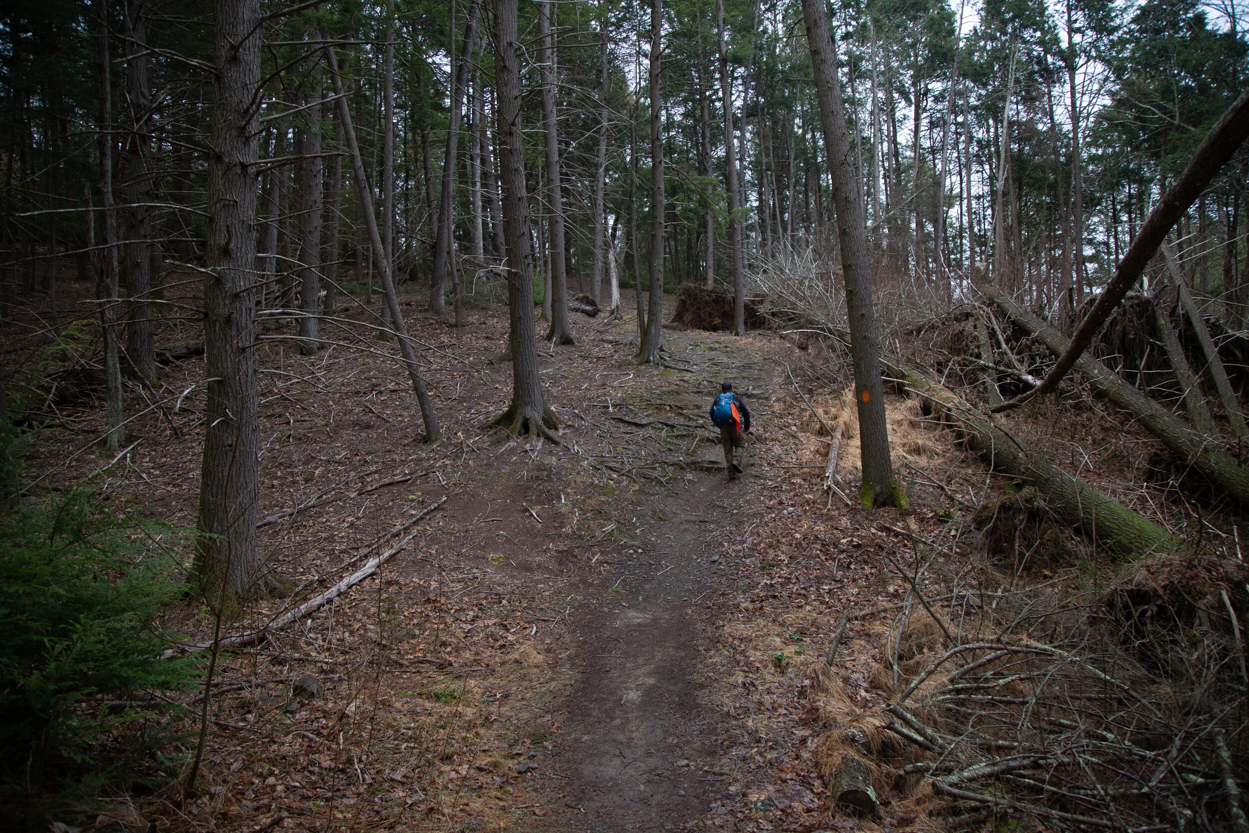
The morning started out great! It was cool and refreshing with sunlight flickering in and out through the forest canopy. We hiked up the Orchard Trail past my favorite stand of cedar trees and ascended along a mossy green path to Hamilton Ridge. From there, the trail widened into a carriage road lined with hardwoods like shagbark hickory and oak, as well as conifers such as Eastern White Pine and Eastern Hemlock.
At the junction for the Pioneer Trail, we turned onto its narrow path, which passed through groves of white pine and eventually ran alongside a ravine that was almost completely dry. As we lost elevation, the trail became overgrown full of ferns and another leafy green plant I see all the time but still don’t know the name of. You could hardly tell there was a trail at all, but it was still easy enough to follow. I kept checking myself for ticks every few minutes, hoping I wouldn’t pick up any hitchhikers.
The last time we were here was in the fall, so I had never seen this trail in late summer. I was surprised it wasn’t better maintained because it’s such a beautiful route. We carried on, with glimpses of the river visible through the deciduous trees to our right. I couldn’t focus on the view for long because I was too busy bushwhacking through tall brush.
When we reached the side trail down to the river, it looked like it had been cleared more recently than the section we’d just traveled. There were kayak campers in the spots where we usually sit, so we found another path to the water not far from the campsite. We watched a few kayakers and some motorboats go by, had a snack, and then headed back.
By then, the day was starting to heat up, and I didn’t want to be hiking in the midday heat. We opted to loop back on Hamilton Ridge rather than take the extra mileage to VanCampen’s Glen, since from there the only way back to Millbrook is along the road. It was too hot for concrete walking and too busy with summer weekend traffic.
When we reached the Hamilton Ridge junction, the trail was overgrown again. We considered going back via the Glen, but decided to stick with our plan. We powered through the tall brush and climbed back up in elevation.
It was still a great hike, but the heat and the bushwhacking wore me out. As we reached the last stretch, the trail leveled off and I cooled down. The forest felt peaceful with the hum of cicadas and the earthy scent of late summer. The sun broke through the canopy, lighting the moss and ferns in deep shades of green. I could feel the afternoon air becoming heavier. But even with the overgrown trails and a layer of sweat and trail dust on my body, I was grateful to be out here. Days like this remind me that even when the trails aren’t perfect, it’s always worth lacing up my boots and seeing where they take me.
Click “Read More” below for more photos from this hike.
Read More