We left the city to hike Slide Mountain in the Catskills’ Slide Mountain Wilderness Area. Slide Mountain is the highest peak in the Catskills, located in the town of Shandaken in Ulster County. It’s also considered the tallest peak in the New York Metropolitan Area.
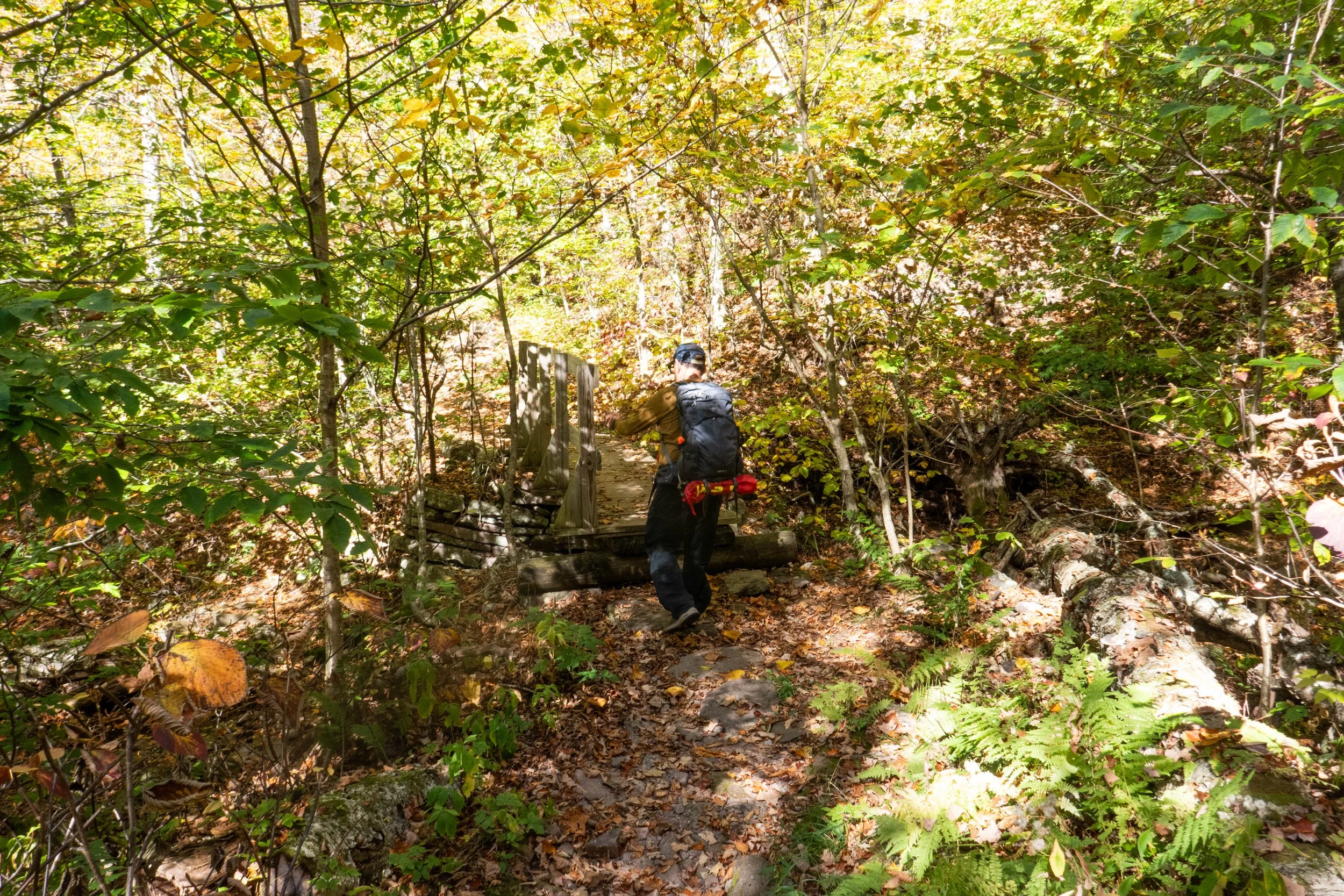
We parked in the lot off Olivera-Slide Mountain Road. At the trailhead, a helpful trail steward named Richard greeted us. It’s wonderful that New York offers trail stewards stationed at different parts of the trails to guide hikers and share information. We had originally planned to hike this trail as an out-and-back, crossing the West Branch of the Neversink River on the Phoenicia-East Branch Trail and then turning onto the Wittenberg-Cornell-Slide Trail to reach the summit. But Richard suggested returning via the Curtis-Ormsbee Trail to make a lollipop loop, and we happily took his advice.
The hike up to Slide’s summit begins by following the yellow-marked Phoenicia-East Branch Trail southwest, where it meets the red-marked Burroughs Range Trail. From there, we turned left, heading east straight to the summit.
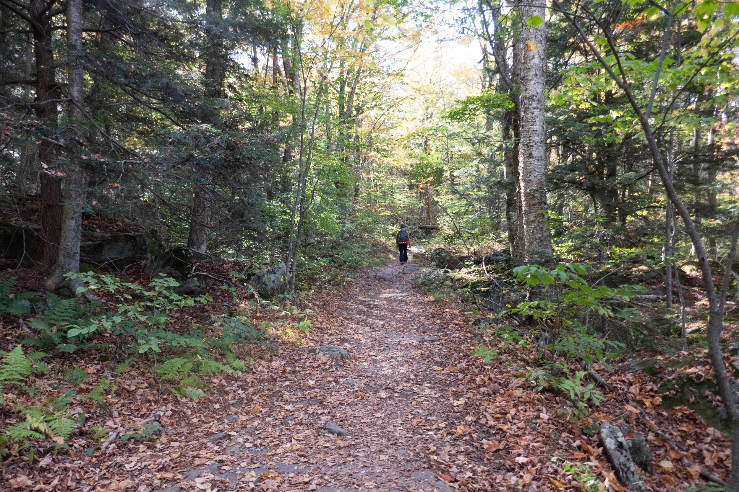
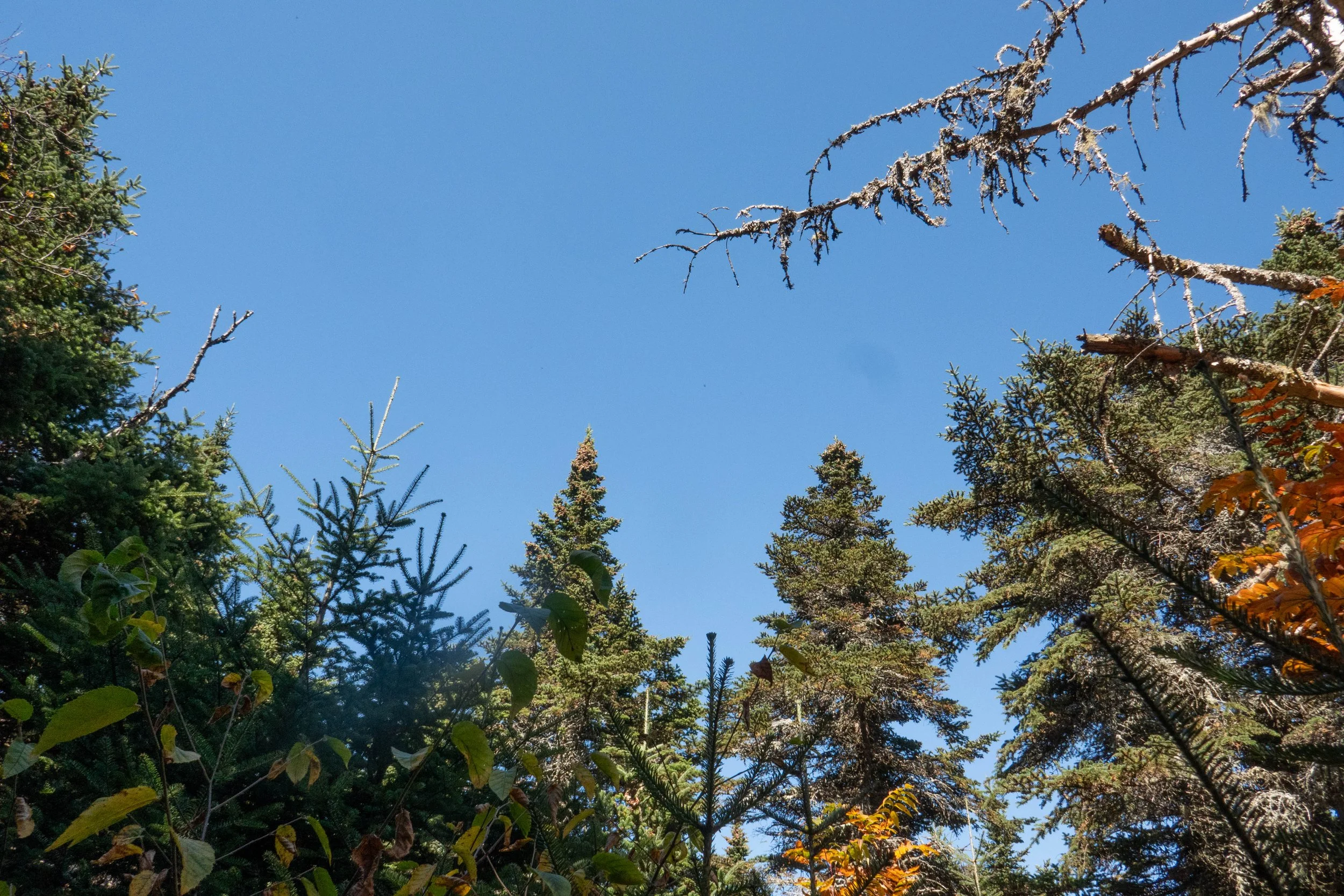
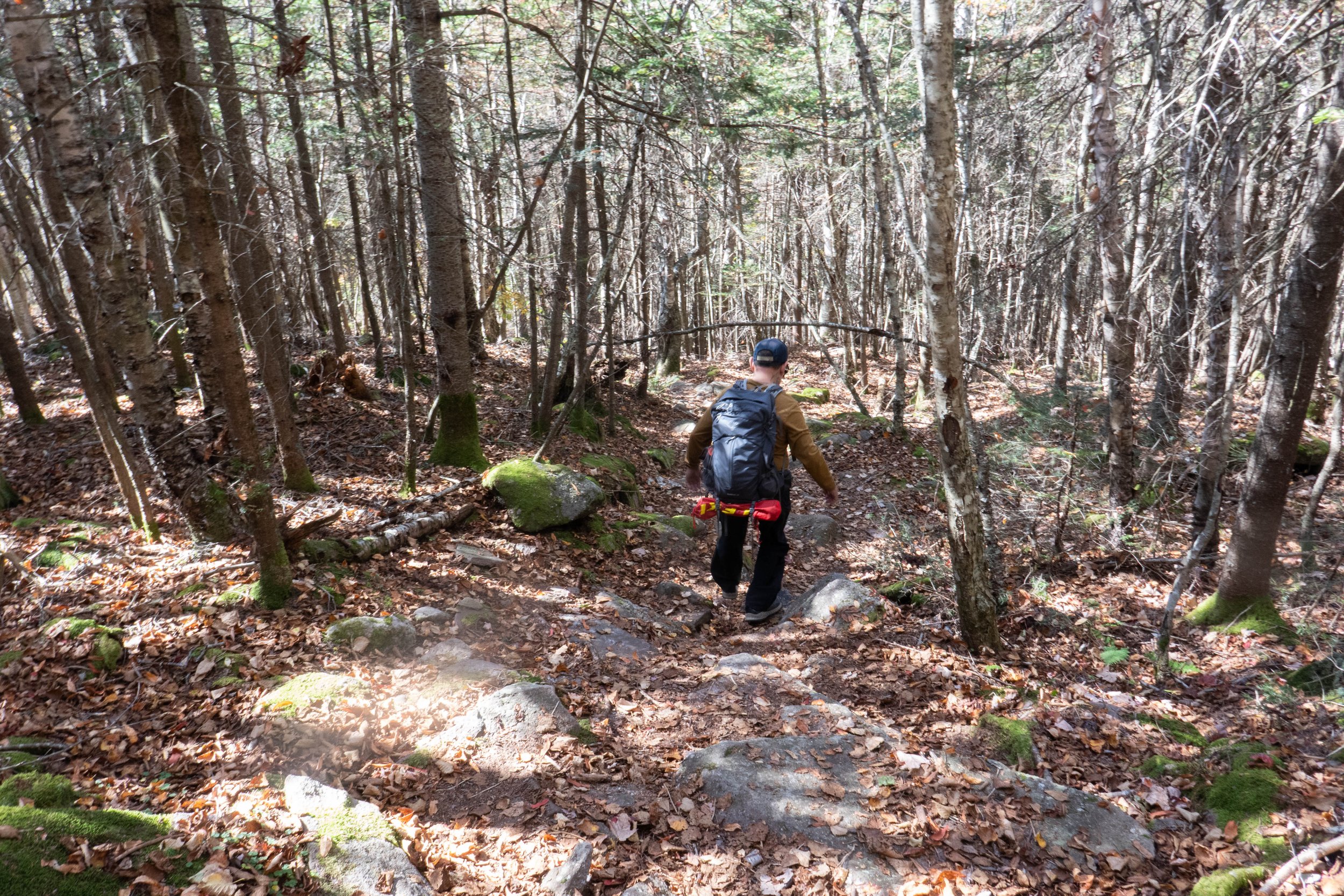
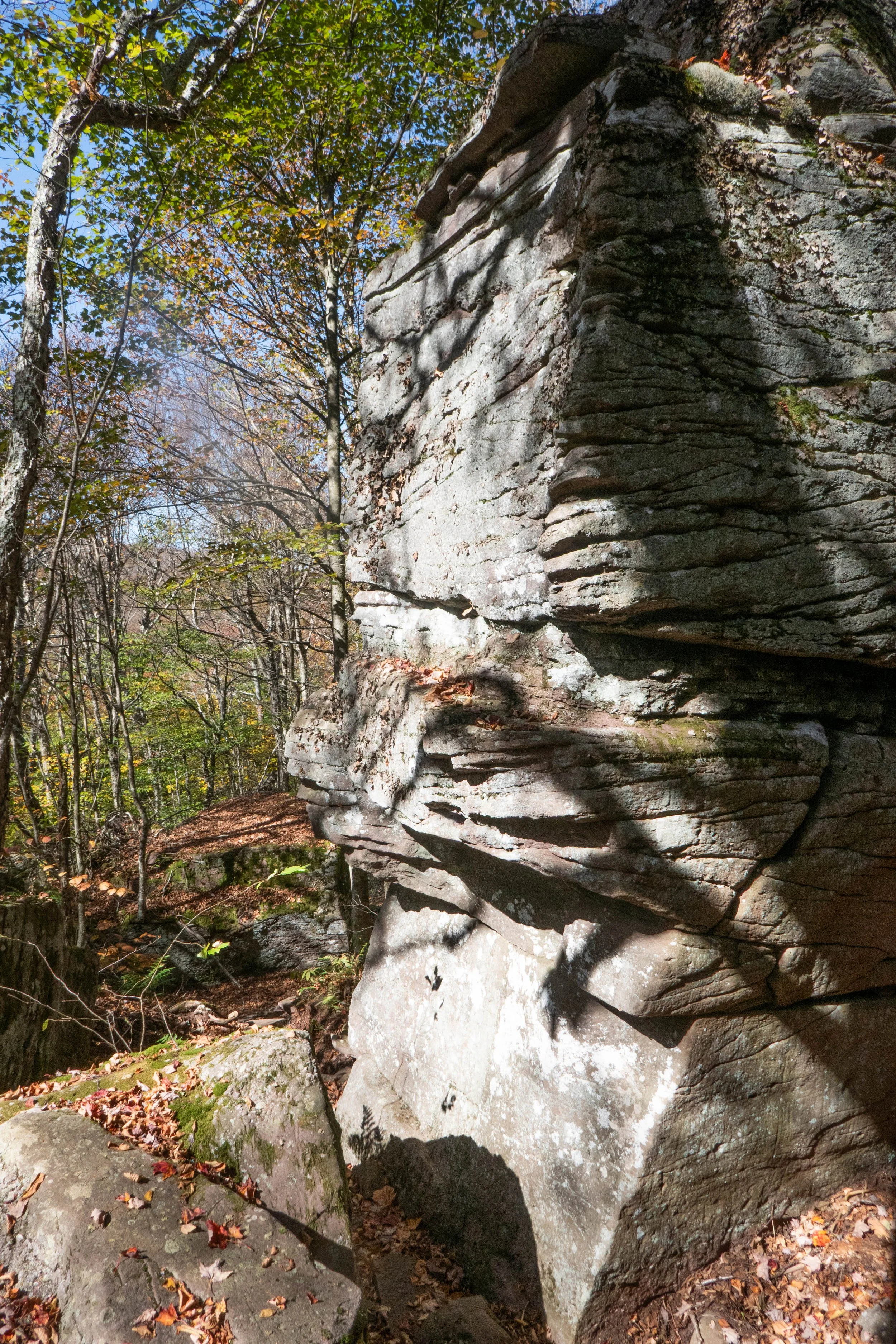
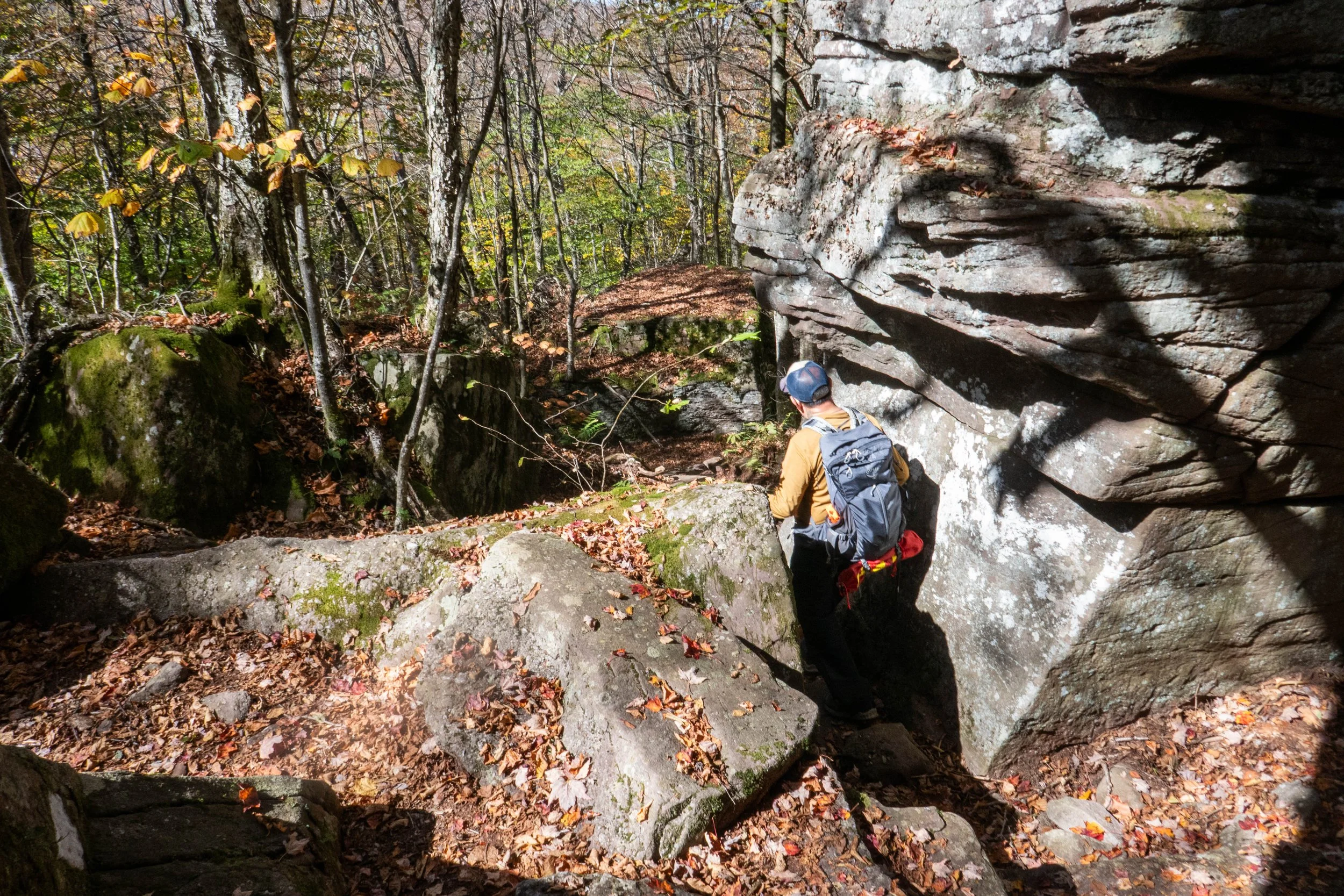
The direct ascent didn’t waste any time as it immediately climbed steeply, with plenty of rocks to navigate. The trail started through hardwood forests and large moss-covered boulders that kept the trail interesting and took our minds off the steep ascent. As we approached the 3,500’ sign, the trees changed to conifers, which I believe were spruce and balsam fir. The change in elevation was obvious with the drop in temperature and the feel of the trail itself. The ground became sandier, and the air literally smelled like Christmas trees. The scenery was breathtaking, and the climb required a descent amount of effort. There were a few lookout points along the way to the summit to stop and soak in the views of the surrounding wilderness.
The summit itself is rounded, with mostly flat rock in the middle of a beautiful spruce grove. We could still see over the treetops into the distance. From there, the mountain drops steeply to the col with Cornell Mountain. If you wish, you can continue along the trail to Cornell and Wittenberg.
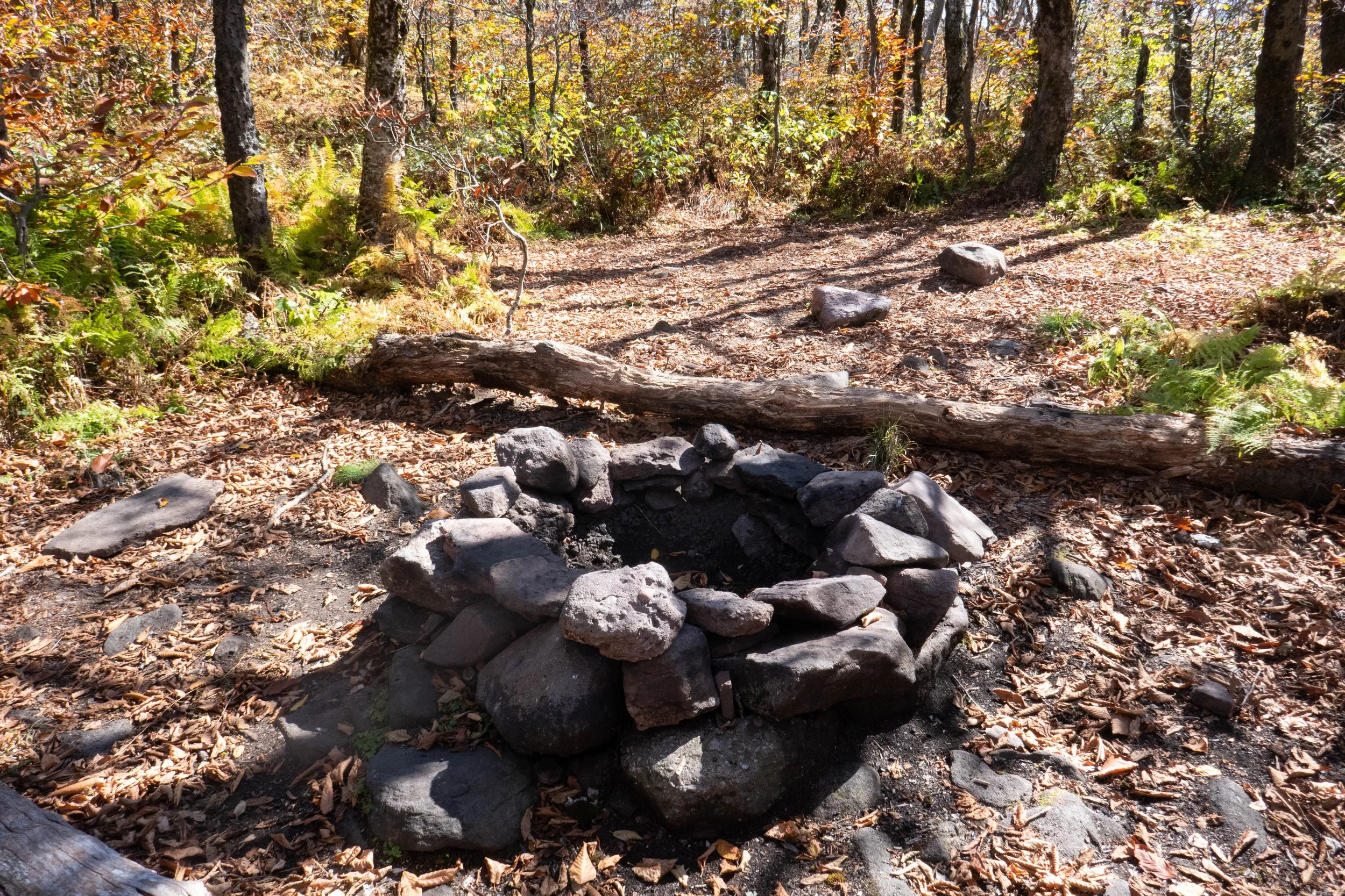
Just below the summit boulders sits a plaque dedicated to John Burroughs, a renowned naturalist who wrote about his climbs in the Catskills.
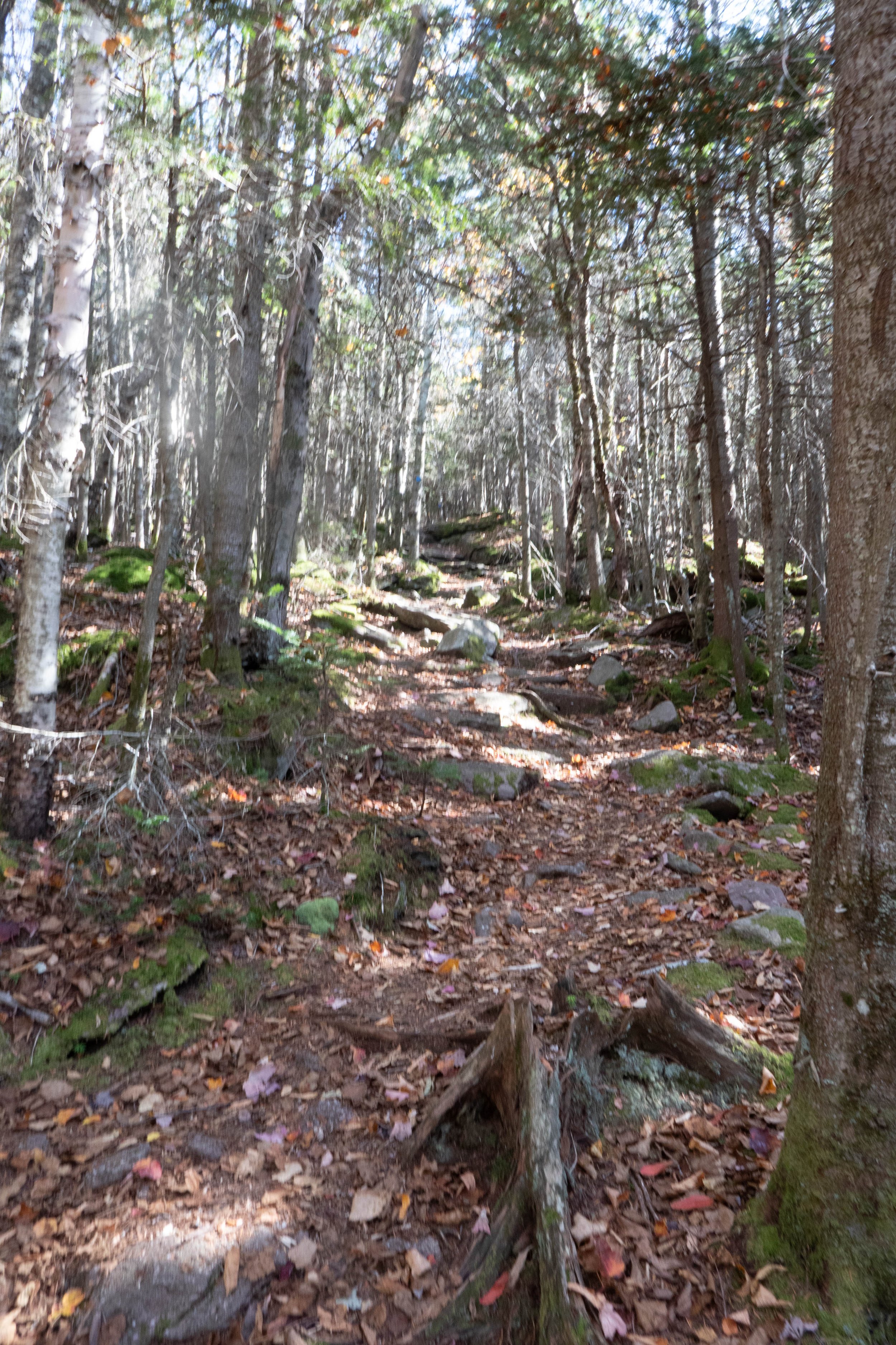
After exploring the summit, we turned back the way we had come until we reached the junction with the Curtis-Ormsbee Trail. From there, we followed the blue markers along a trail that descended steeply through spruce and then hardwoods, with panoramic views to the south and west. There were fun boulder scrambles along this route, and the terrain was a bit easier on the feet. The Curtis-Ormsbee Trail was named for William Curtis and Allen Ormsbee, who originally blazed it. Both later lost their lives during a mountaineering expedition in the White Mountains in 1900.
It was a wonderful day. Both the climb and the descent offered epic scenery and challenges that left us feeling satisfied and content.
Click “Read More” below for more photos from this hike.