
Diamond Notch Falls

Catskill Weekend, September 5, 6, & 7, Minnewaska State Park, Castle Point Carriage Road, Spruceton Inn, Diamond Notch Falls Trail, Spruceton Trail, Hunter Mountain

Catskill Weekend, September 5, 6, & 7, Minnewaska State Park, Castle Point Carriage Road, Spruceton Inn, Diamond Notch Falls Trail, Spruceton Trail, Hunter Mountain

We started our Catskill weekend with a hike at Minnewaska State Park Preserve. This time we walked the Castle Point carriage road for a 5-mile out-and-back. It was a sunny day, and there were gorgeous viewpoints along the way to enjoy.

After the hike, we headed up to the Catskills for a late lunch and IPAs at Woodstock Brewing. This is always my first stop anytime we visit. Afterwards, we drove to the Spruceton Inn, which has become my favorite place to stay when we are in the Catskills. I can’t say enough good things about this place and how magical it is.

We had planned a very low-key weekend with no pressure to climb any peaks or do anything strenuous. We both needed some R&R, and that is exactly what we got at the Inn located at the base of West Kill Mountain.

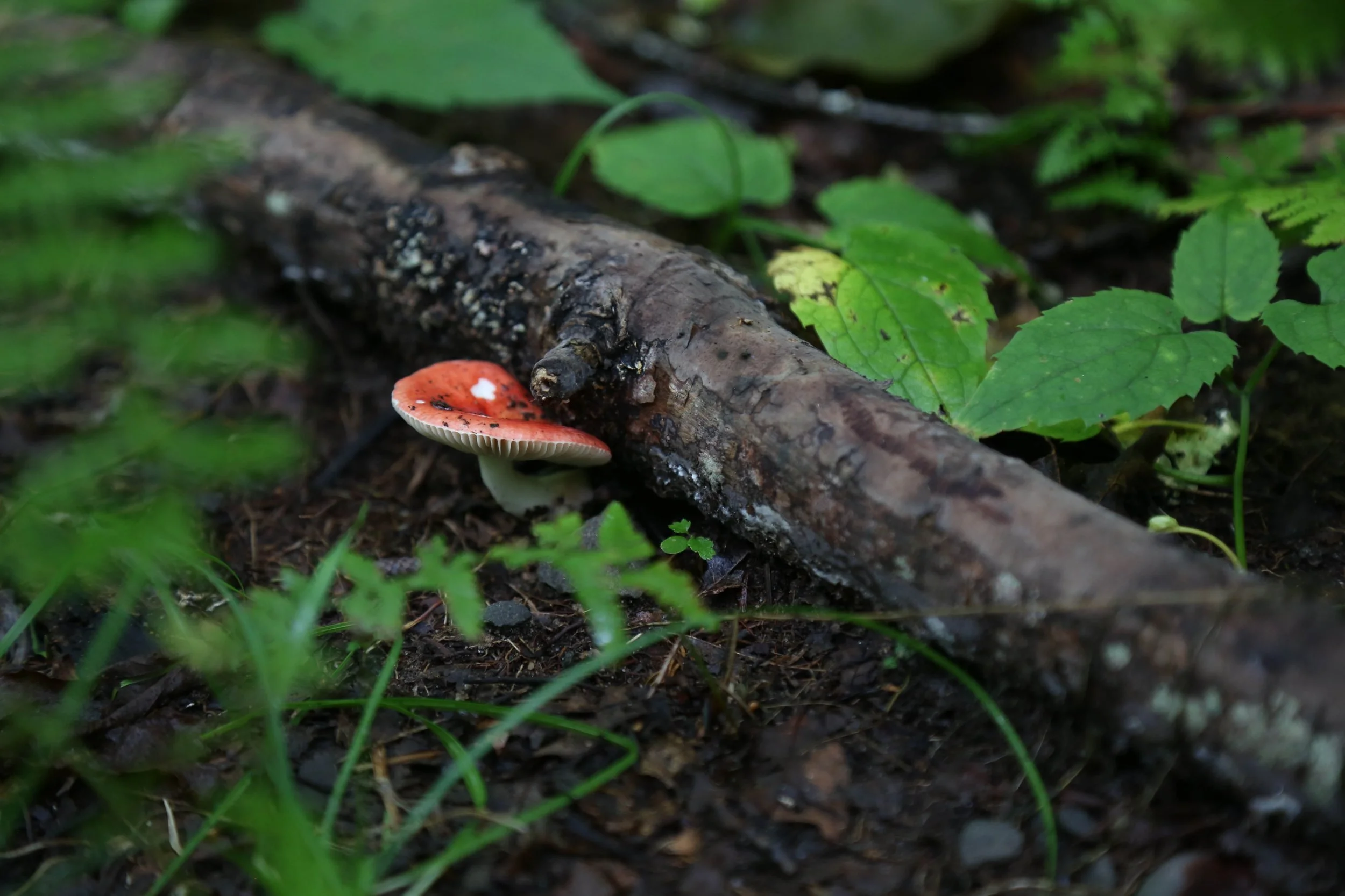
Sunday morning, we woke to mountain rain, but it passed quickly enough. There was no hurry, and we stayed in our pajamas for a while, and I wrote in my journal and sketched. After the rain stopped, we headed just up the road for a walk along the trail to Diamond Notch Falls. There were so many mushrooms, and I had my DSLR camera with me, so I took lots of photos. We weren’t quite ready to be done hiking yet, so we took a short walk on the Spruceton Trail just to the bridge before the trail begins climbing up Hunter Mountain. After we finished the hike, we took a ride to Tannersville and had a late breakfast at Maggie’s Crooked Cafe. She always remembers us, and her home cooking hit the spot. Later that afternoon, we stopped at West Kill Brewing for IPAs before heading back to the Inn for happy hour at Room One. We always have such a lovely time chatting with the people we meet in the Catskills.

All too soon, Monday came around, and neither of us really wanted to head back to the city just yet. So we had a lazy morning just enjoying the beautiful fields of goldenrod and the sunshine at the Inn before we said goodbye until our next visit.

Click “Read More” below for more photos.

Read More
Catskills, Diamond Notch Falls via Spruceton Road + Hunter Mountain via Spruceton Trail out and back, 9.61 Miles RT, 2,194’ +/-, Max Elevation 4,040’, November 8, 2025

Catskills, Diamond Notch Falls via Spruceton Road + Hunter Mountain via Spruceton Trail out and back, 9.61 Miles RT, 2,194’ +/-, Max Elevation 4,040’, November 8, 2025

Our adventures this weekend took us to Hunter Mountain in the Catskills’ Hunter-West Kill Wilderness. We parked at the trailhead on Spruceton Road and began with a short hike along the Diamond Notch Trail, which follows West Kill Brook to a lovely waterfall. From there, the trail splits east along the Devil’s Path or across a bridge over the West Kill toward Diamond Notch or the Devil’s Path West. We chose to backtrack to the parking area and start our ascent of Hunter via the Spruceton Trail.

The Spruceton Trail is a wide carriage road open to both hikers and horses, though I didn’t see any recent signs of equestrian use, just the hitching rails along the way. True to Catskill form, the trail climbs steadily and with little mercy. It begins with a moderate grade through hardwood forest on a rocky but easy path. Around 3,500 feet the landscape shifts into stands of fragrant red spruce and balsam fir. The trail was muddy in places, so waterproof boots were necessary.

We passed a clear mountain spring flowing into a barrel, the spur to the John Robb Lean-to, and later the junction with the Colonel’s Chair Trail, which leads toward the Hunter Mountain Ski Lodge and chairlift.

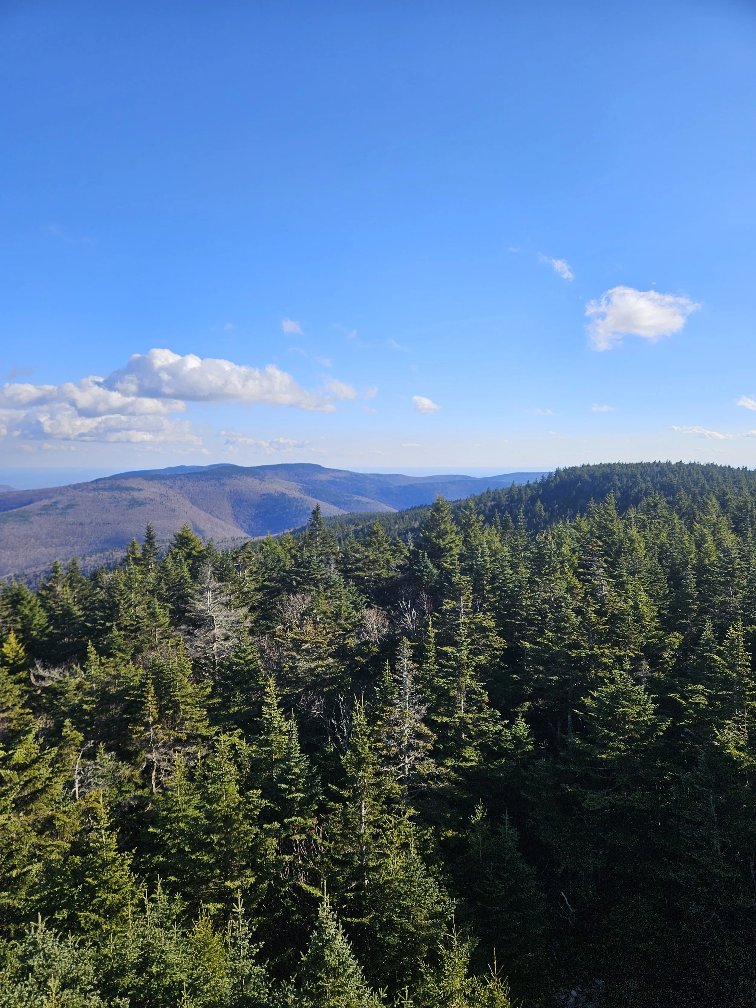
Eventually the trail leveled out a bit before climbing again at a more moderate grade, finally reaching the Hunter Mountain Fire Tower and Observer’s Cabin. Hunter tops out at 4,040 feet, and there are picnic tables at the summit too. We climbed as high as we could up the 60-foot tower, stopping just below the locked cab, which was unattended. The views were spectacular! The Hunter Mountain Fire Tower, built in 1917 and relocated to its current location in 1953, stands at the highest elevation of any fire tower in New York State. It was windy at the top, and I could feel the tower sway in the gusts, but it felt sturdy and well-built. I wished I could have stayed up there longer, but others were coming and going, eager to take in the same breathtaking views.

By the time we started back down it was around 2 p.m. Through the leafless trees, we had clear views of Rusk and East Rusk Mountains. As we descended back into the hardwood forest, tiny moths fluttered along the trail, something I’d noticed on the way up as well. It was a really great hike, and next time I’d like to start earlier and make it a loop hiking the Devil’s Path and Hunter Mountain Trail.

Note that the photos are all I was able to capture with my phone. They are both photos and video stills. Unfortunately, the SD card on my camera corrupted and I lost all photos from this weekend except for these phone pics.

Click “Read More” below for more photos from this hike.

Read More