I was super excited to explore a new part of the Angeles National Forest this past Sunday! One of the first hiking books I’d ever purchased was “Trails of the Angeles” by the late John W. Robinson. This hike is hike #1 in his book. In addition, Casey Schreiner of ModernHiker.com, recently posted a trail report about this hike, making it sound even more appealing.
The trailhead is about an hour and 20 minute drive from our home and is in the northwestern section of the Angeles NF. It starts off on the PCT, and we did pass a number of thru hikers headed to the Sierras as we ascended the mountain southbound.
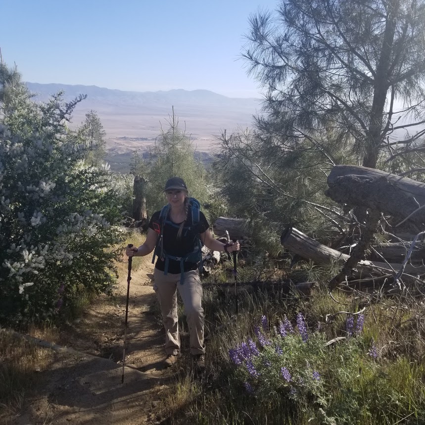
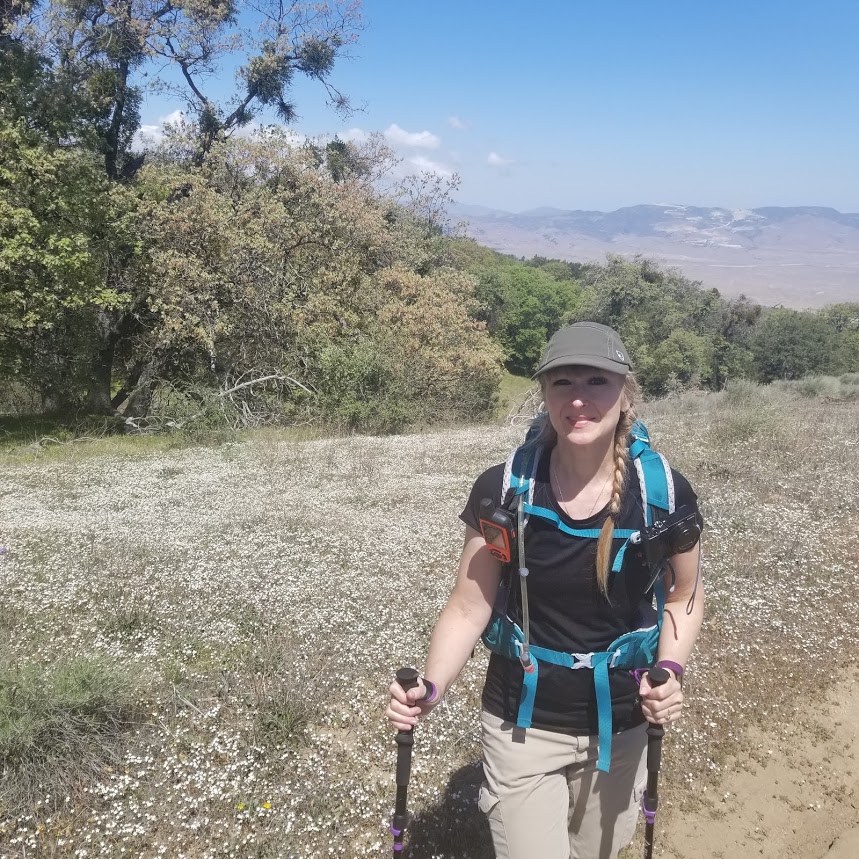
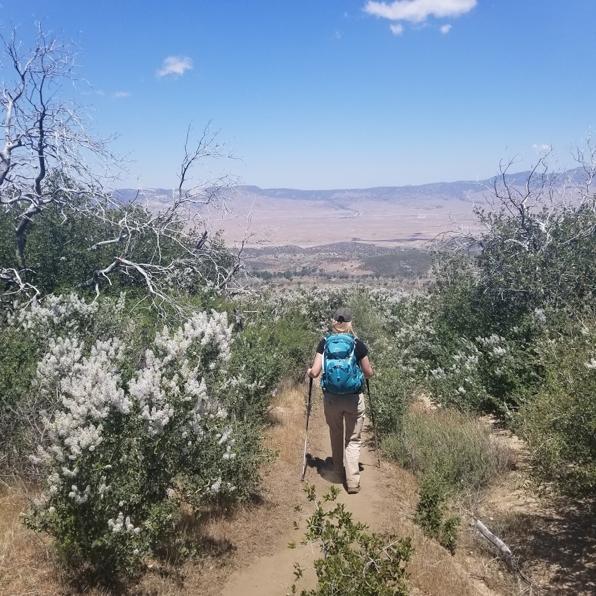
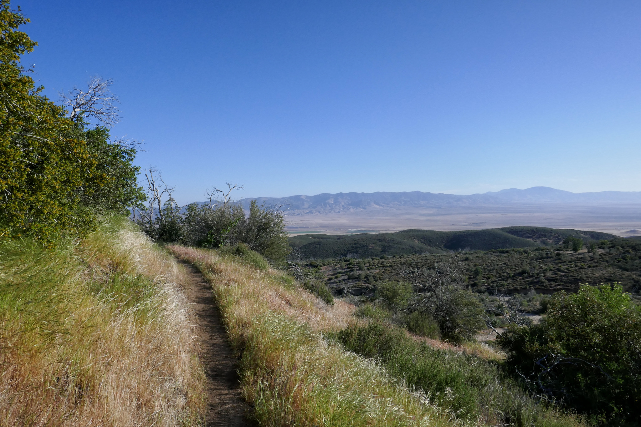
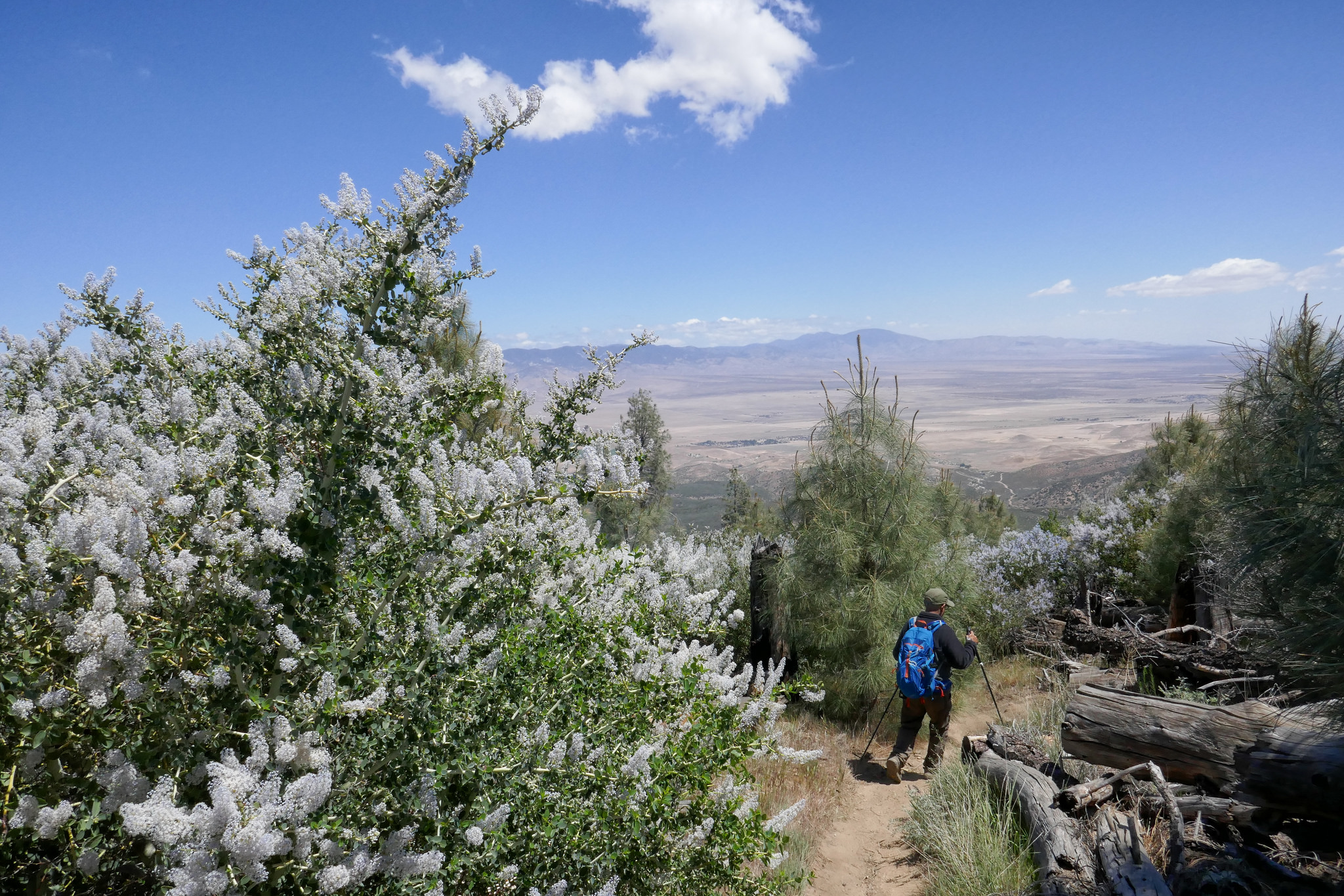
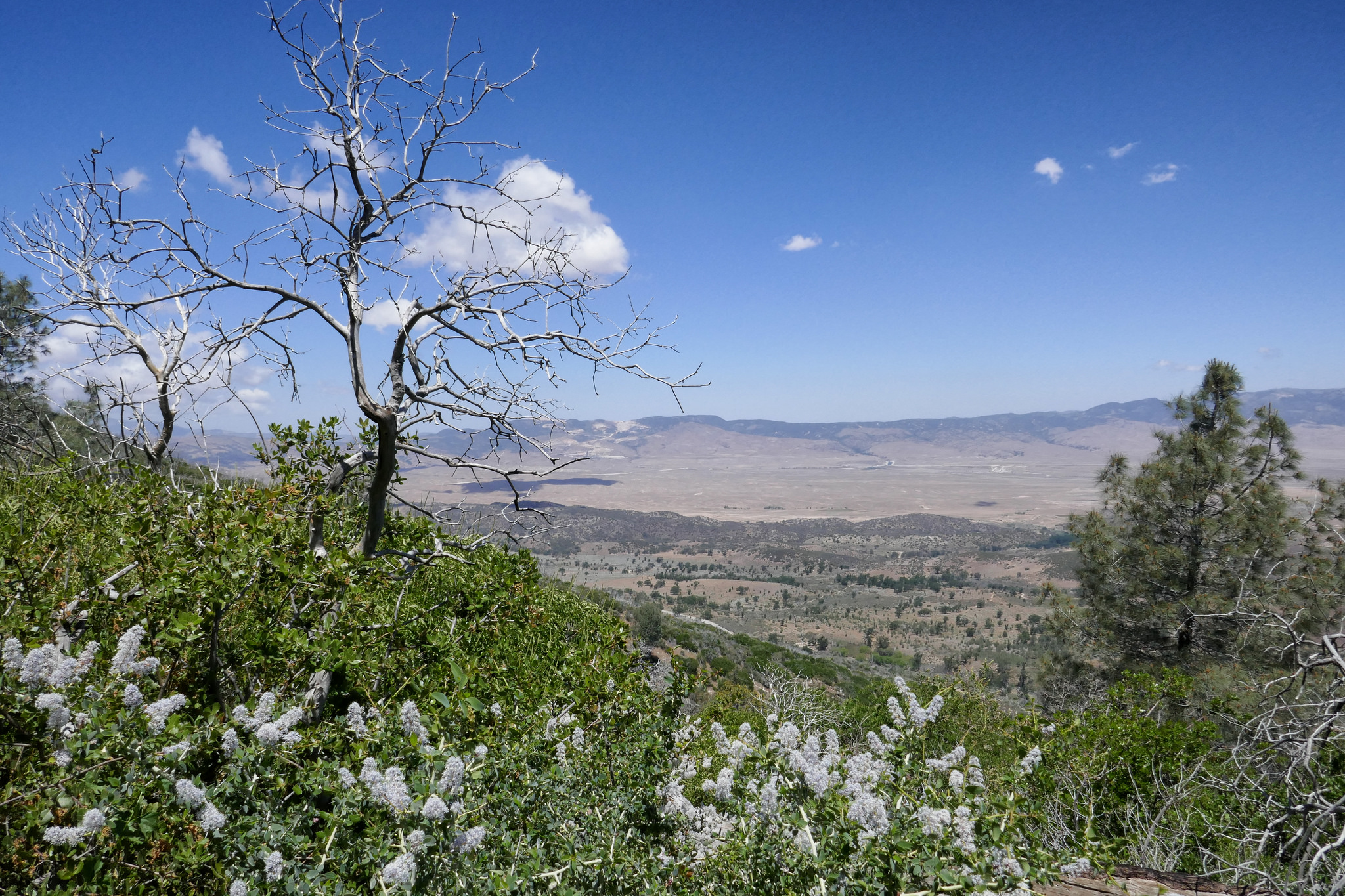
The first part of the trail took us up switchbacks that were surrounded by blooming ceanothus (wild lilac) as well as patches of yerba santa. As we made our way up, we had wonderful views of the Antelope Valley, the Ventura mountain ranges, the San Andres rift zone and the Tehachapis. It’s a very interesting contrast considering the mountain we were hiking on was so lush and green.
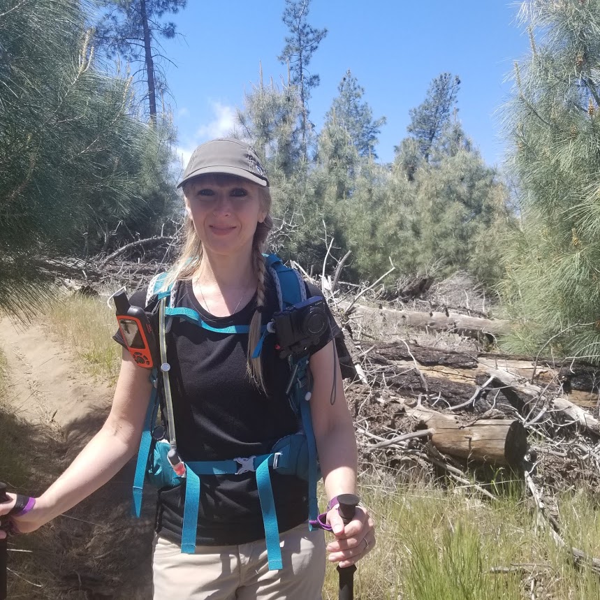
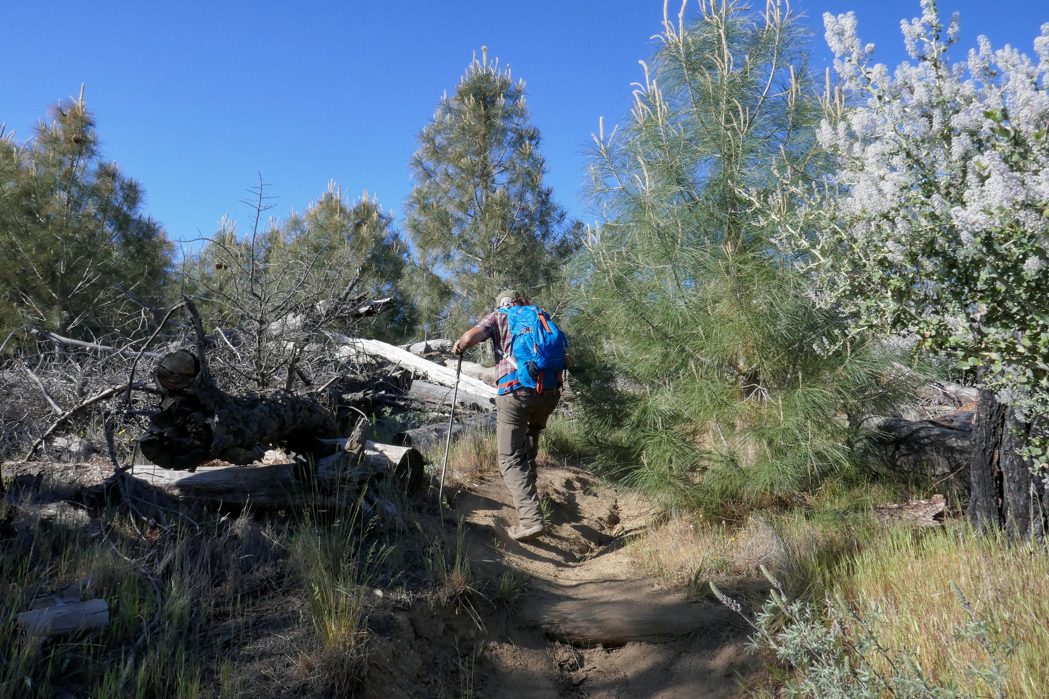
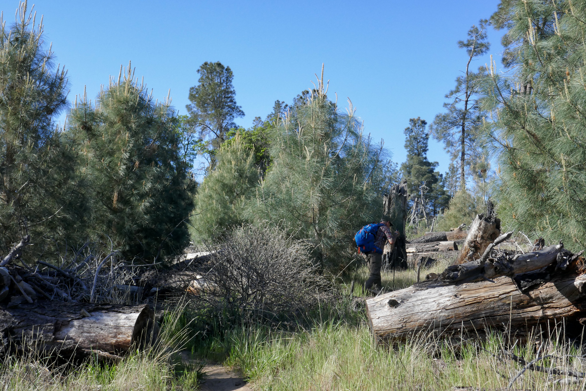
As we continued, we passed through an incredibly beautiful pine grove filled with purple lupines. Various wildflowers were numerous along the entire route. As we climbed upward, Liebre mountain turned into a sprawling oak savanna and the clouds began to roll over us as they made their way across the mountaintop. We reached a junction where the PCT headed east, but continued along the trail (which was now more of a fire road then a single track) to reach the highest point of Liebre Mountain. To find the high point which is marked with a wooden stake and a pile of large rocks, we had to leave the road and do a little searching. We stopped here to relax, have a snack and enjoy the scenery. We also did a some exploring around the top of the mountain before making our way back taking our time as we did. As we descended, the temperatures had warmed up a bit and there was more wildlife activity; lizards warming themselves in the sun and insects enjoying the wildflower blooms. I stopped for a while to get some photos of a Clearwing Hummingbird Moth nectaring on the yerba santa at about 4,300’. It was quite a sight! I’d never seen one of these before! This was a lovely hike and another great day to be in the mountains!

This is the dirt road just off of Pine Canyon Road. There's a small parking area here and this is where you find the trailhead. I choose to park in a turnout along the side of Pine Canyon Road and just walk the short distance to the trailhead.
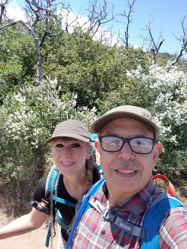
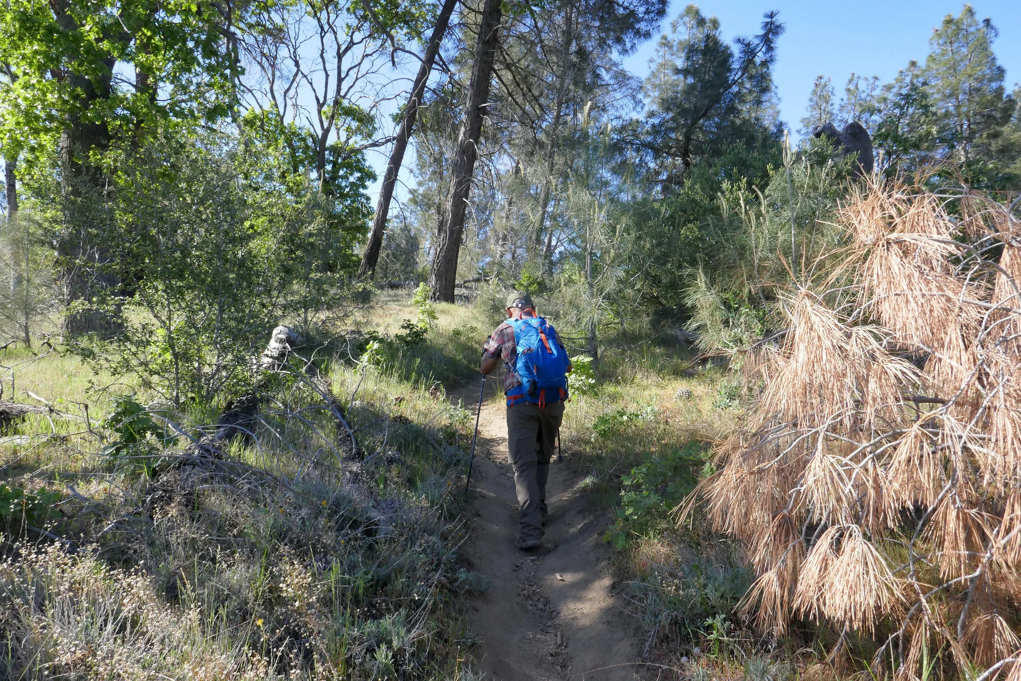
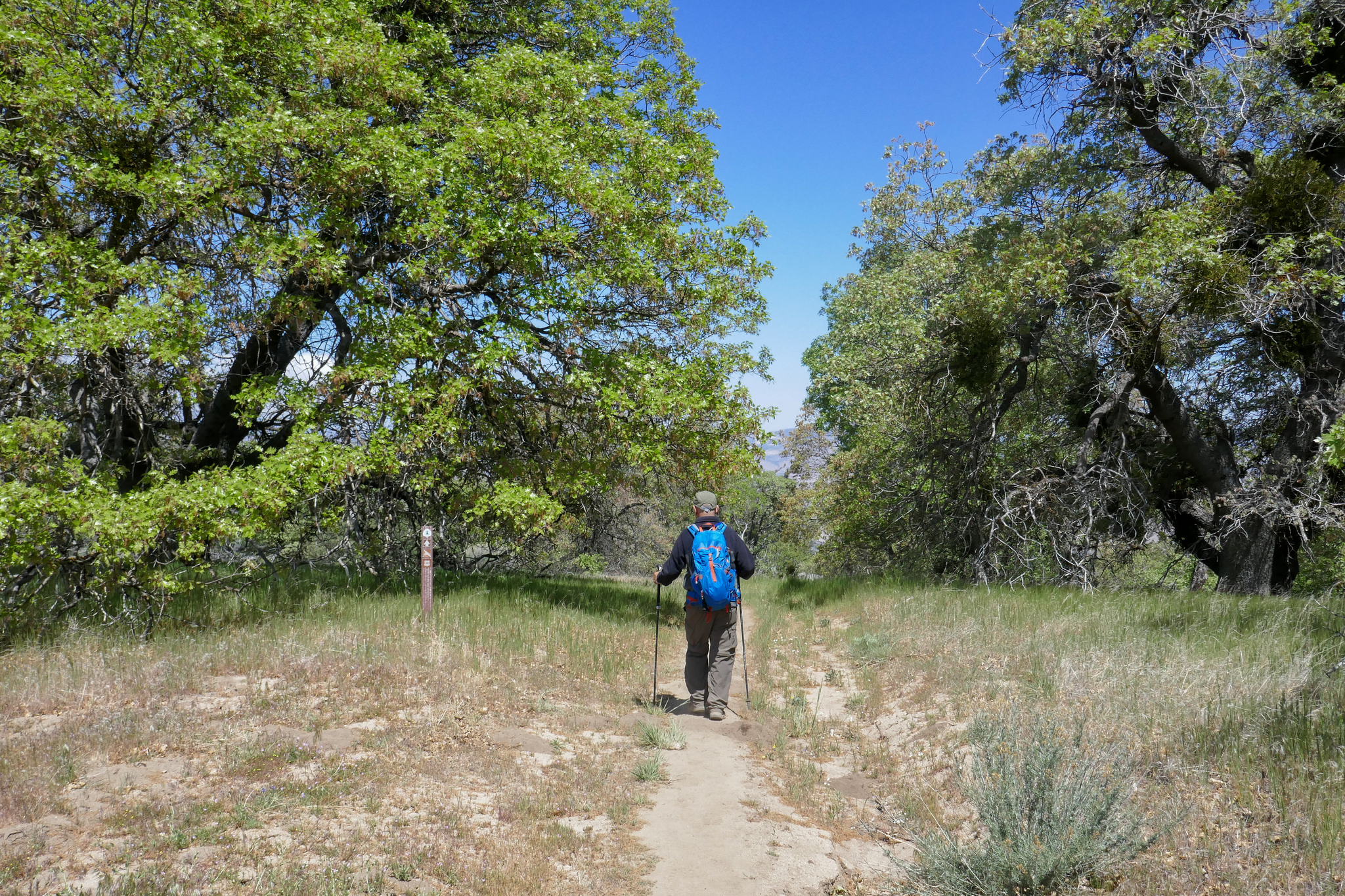
We took the PCT southbound and began to ascend the mountain.

Purple nightshade in the morning sunlight.

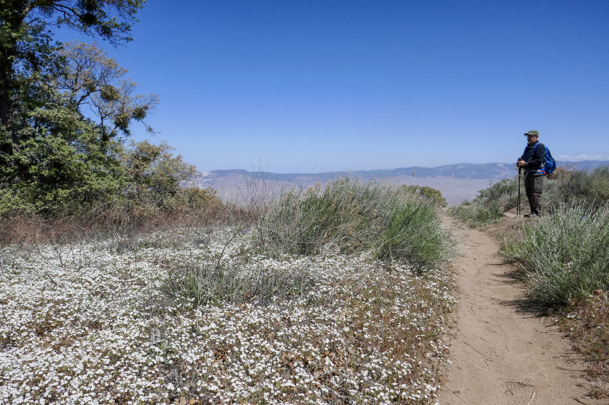
Beautiful wildflowers and views of the Tehachapi mountains.
The trail is so green right now. I imagine it won't last once summer arrives.

Like I said... so much green!
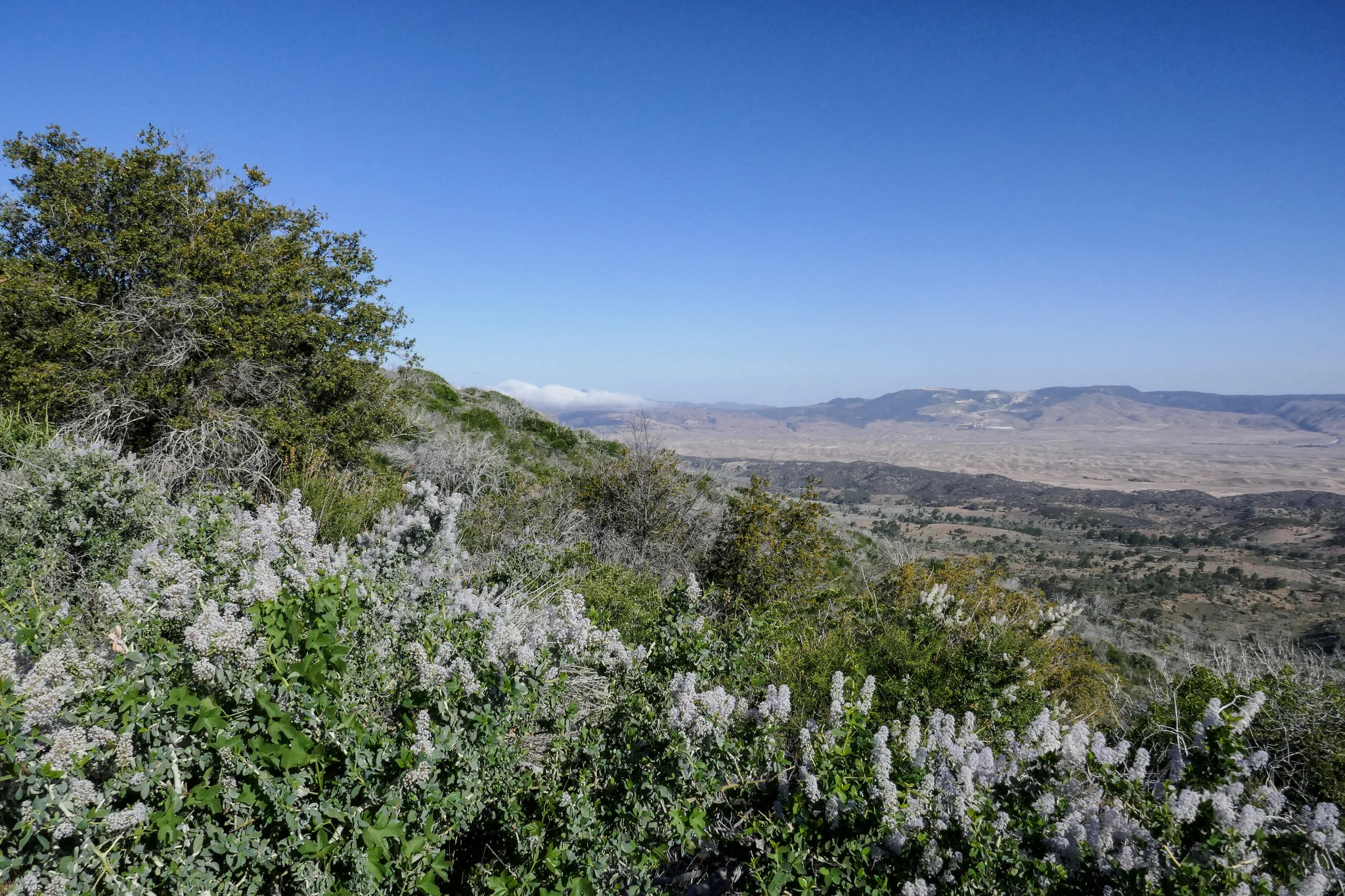
As we made our way up the switchbacks, we were surrounded by wild lilac (ceanothus). It smells amazing!


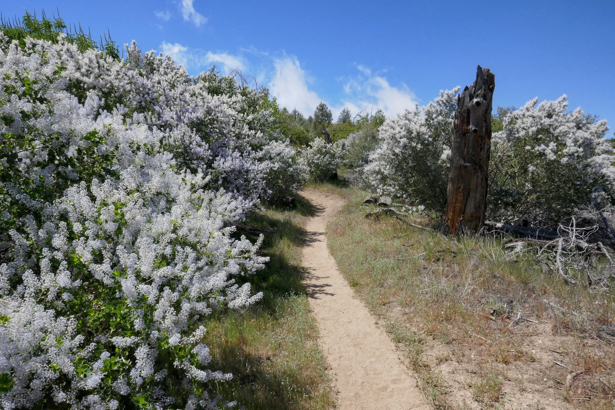
Blankets of white flowers on the hills.
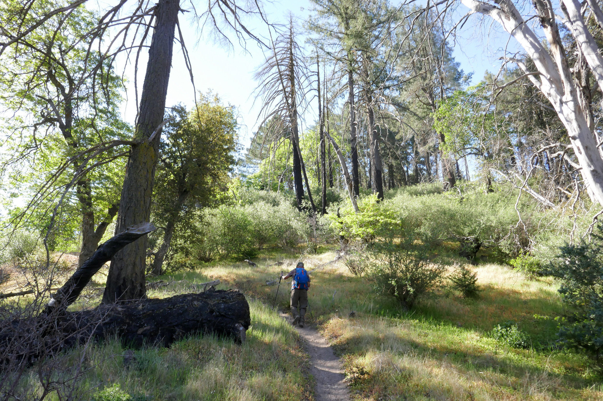
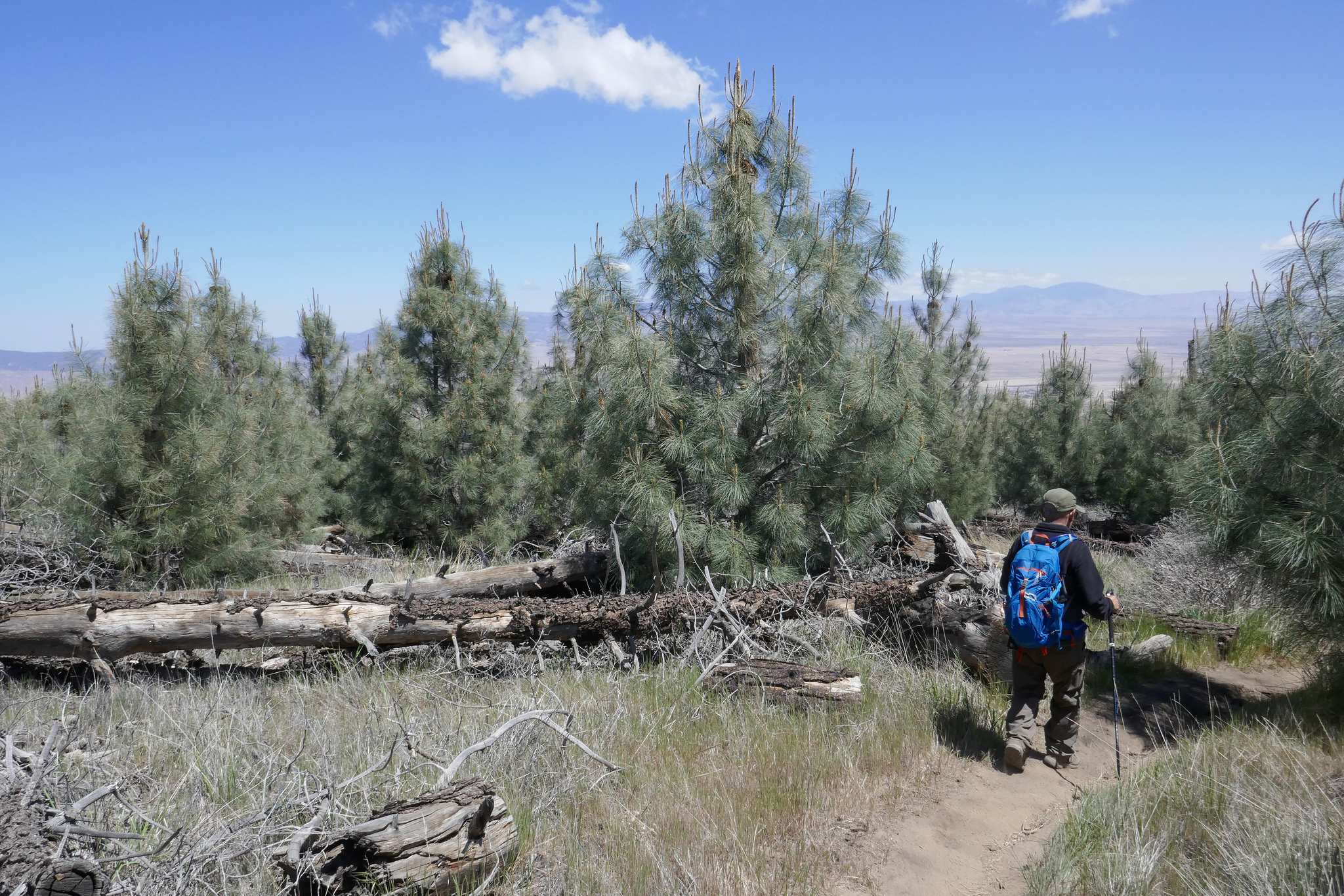
Here we entered a beautiful pine grove.

Purple lupine everywhere!


This is Horse Trail Camp. There's a picnic table here and a spring (if it's running.)

Ladybug on the lupine.

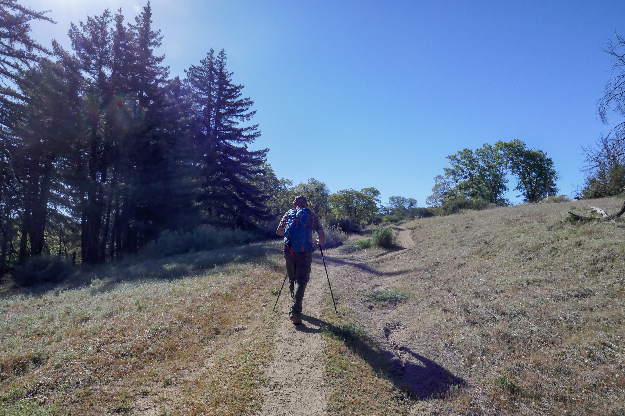
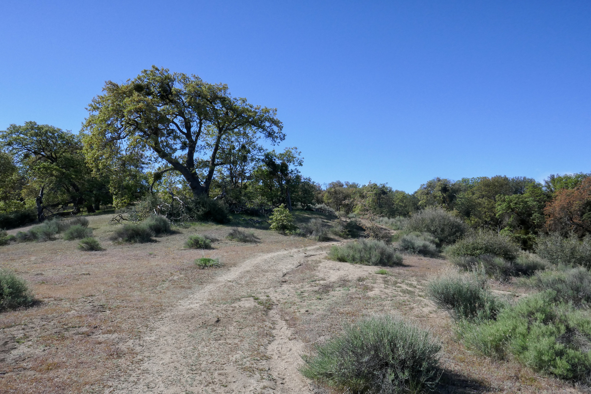
The great oak trees start to make their appearance.

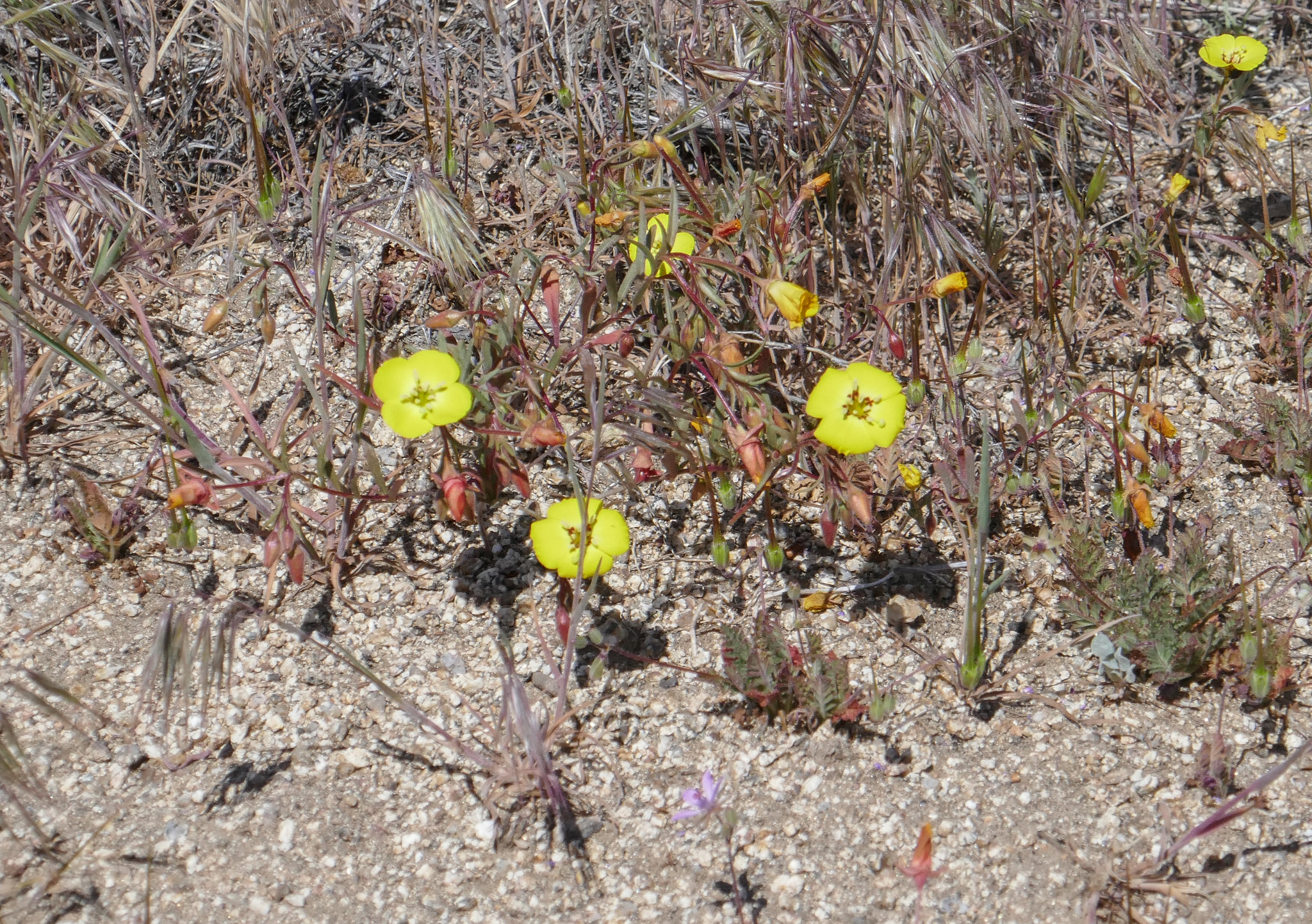
So many different kinds of wildflowers.
Hiking through the tall pines.


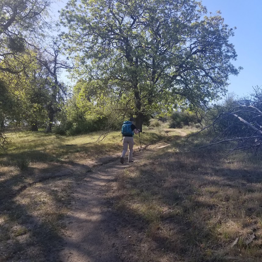
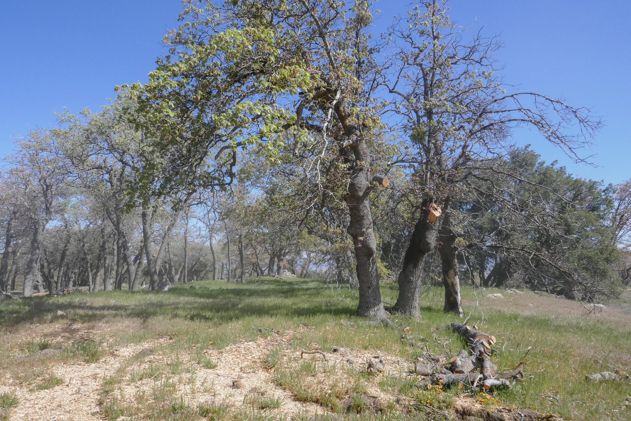
The oaks became even more abundant as we got closer to the top of the mountain.

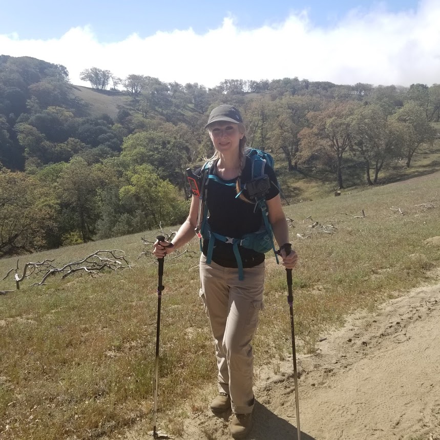
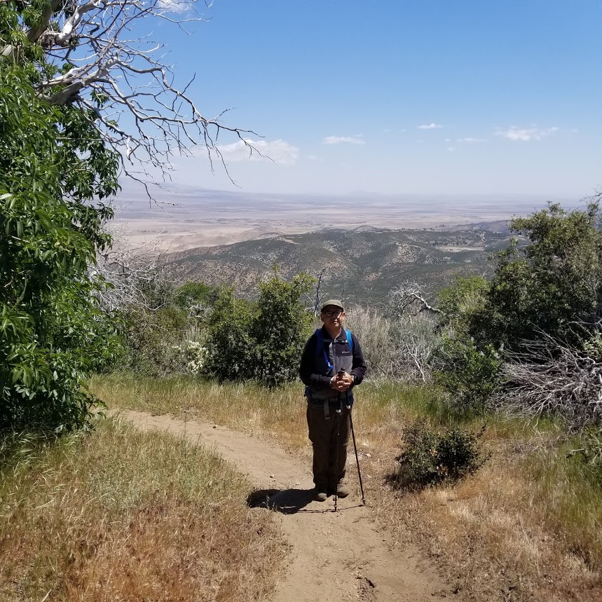
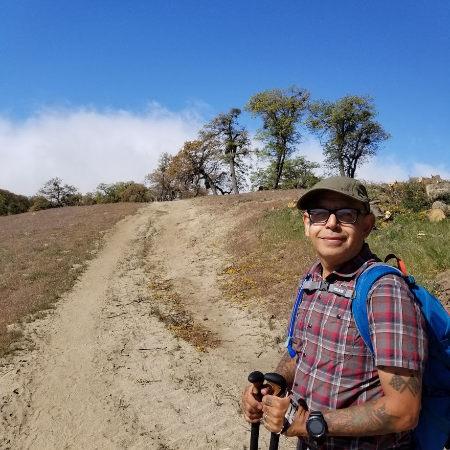
My husband taking a moment to enjoy the views.

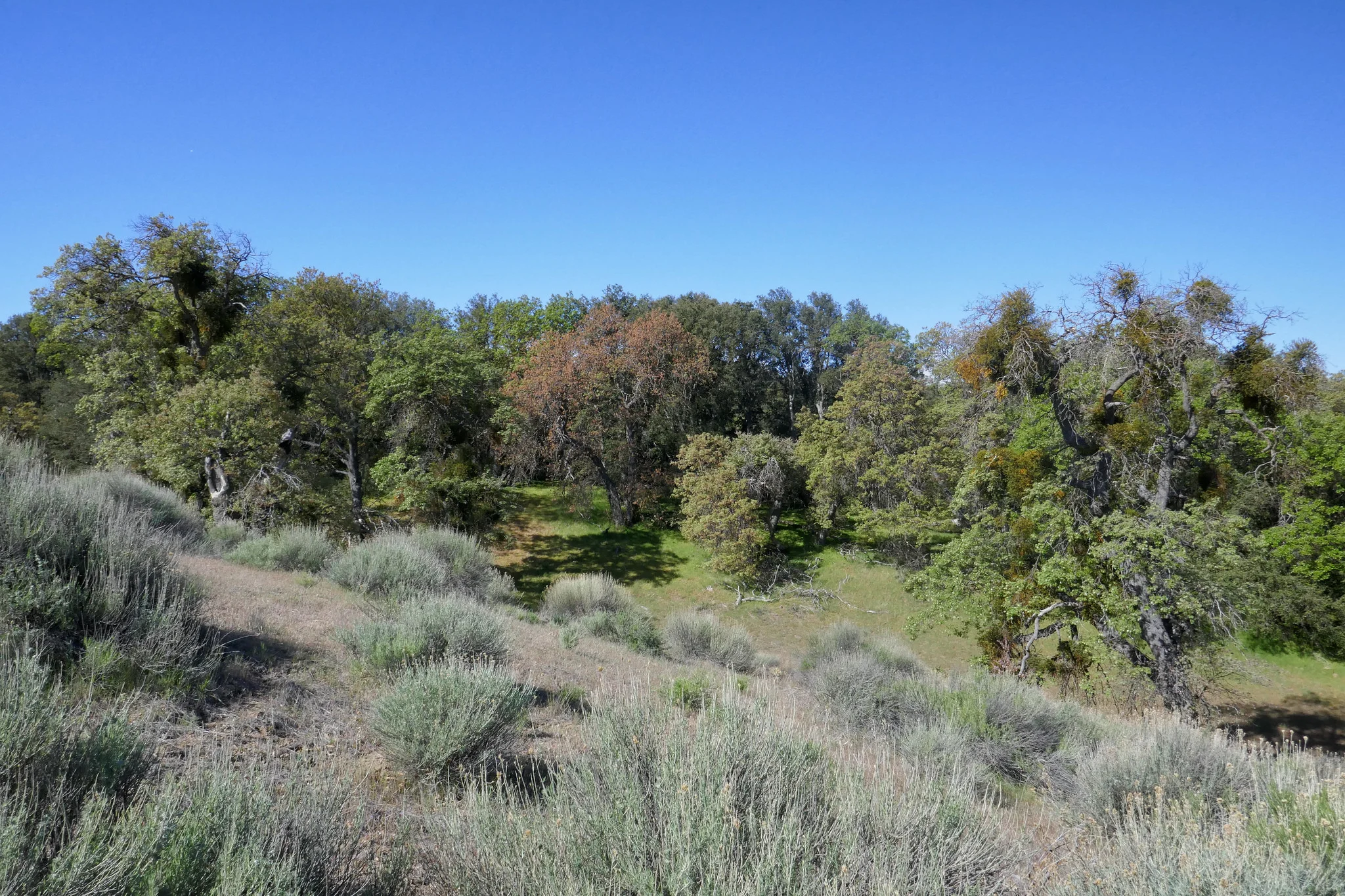


As we continued to hike, we were surrounded by beautiful black oaks.

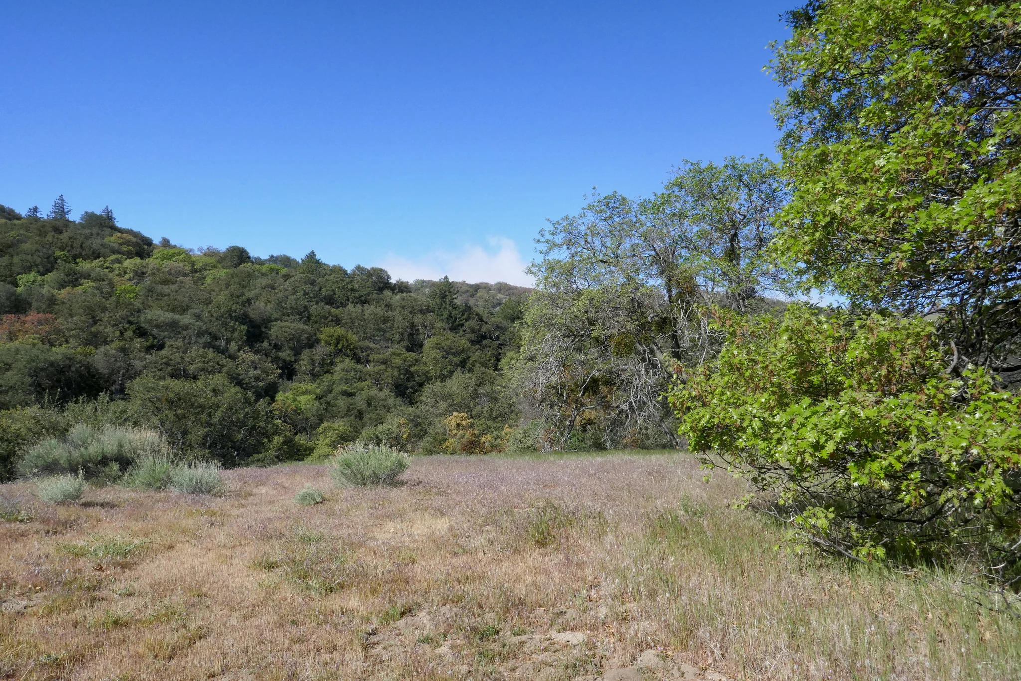
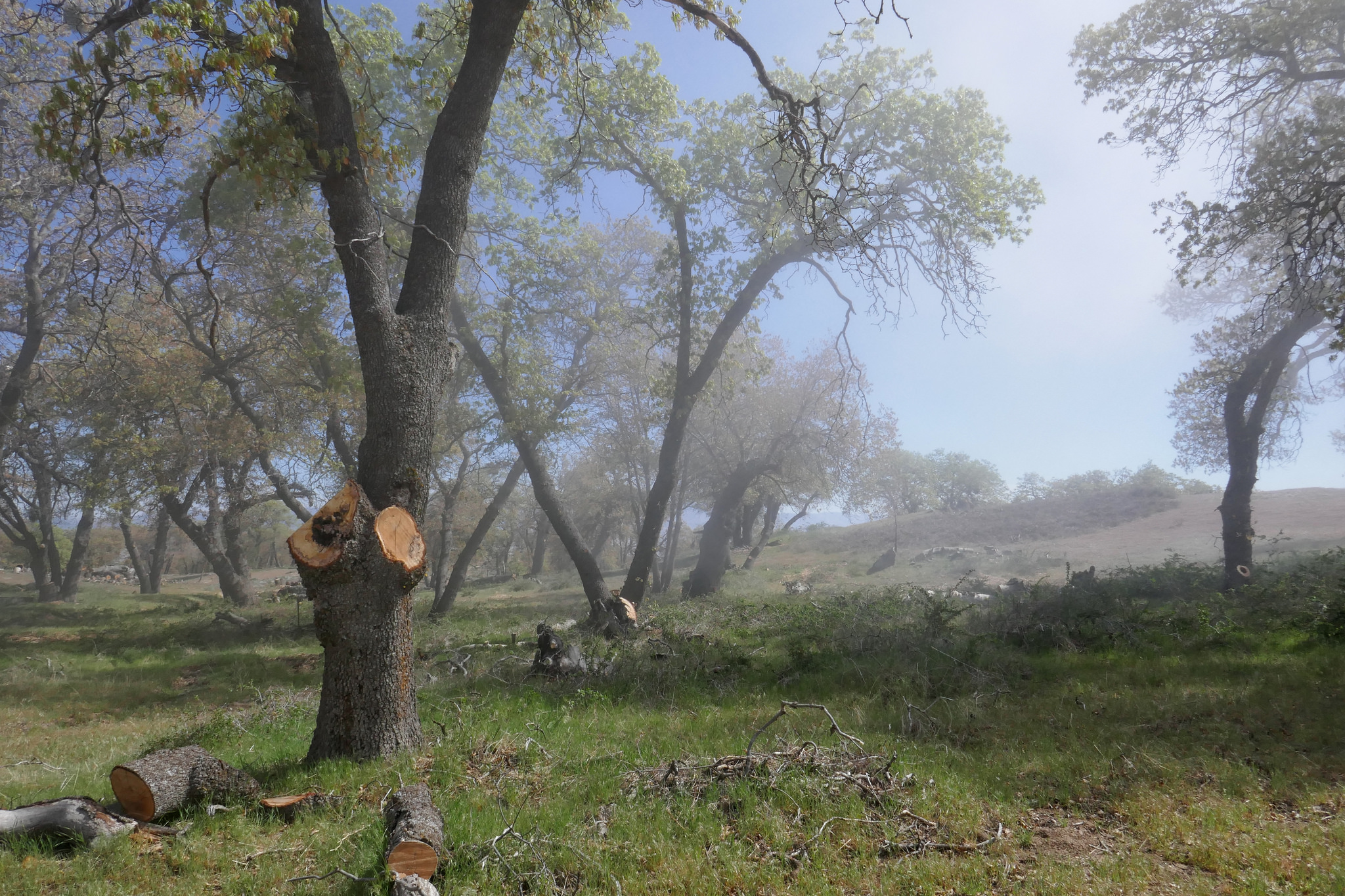
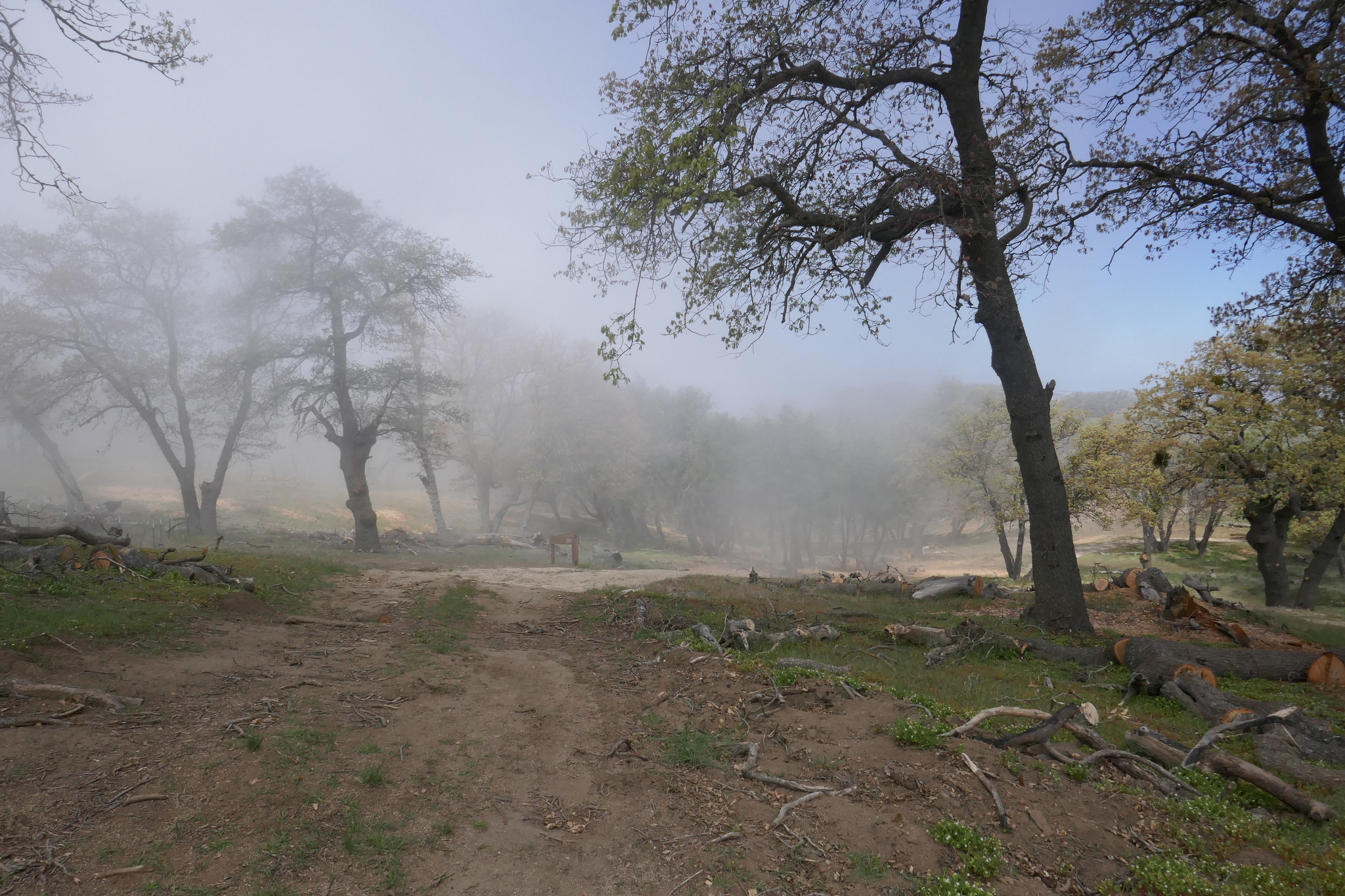
Looking out at the oak savanna.


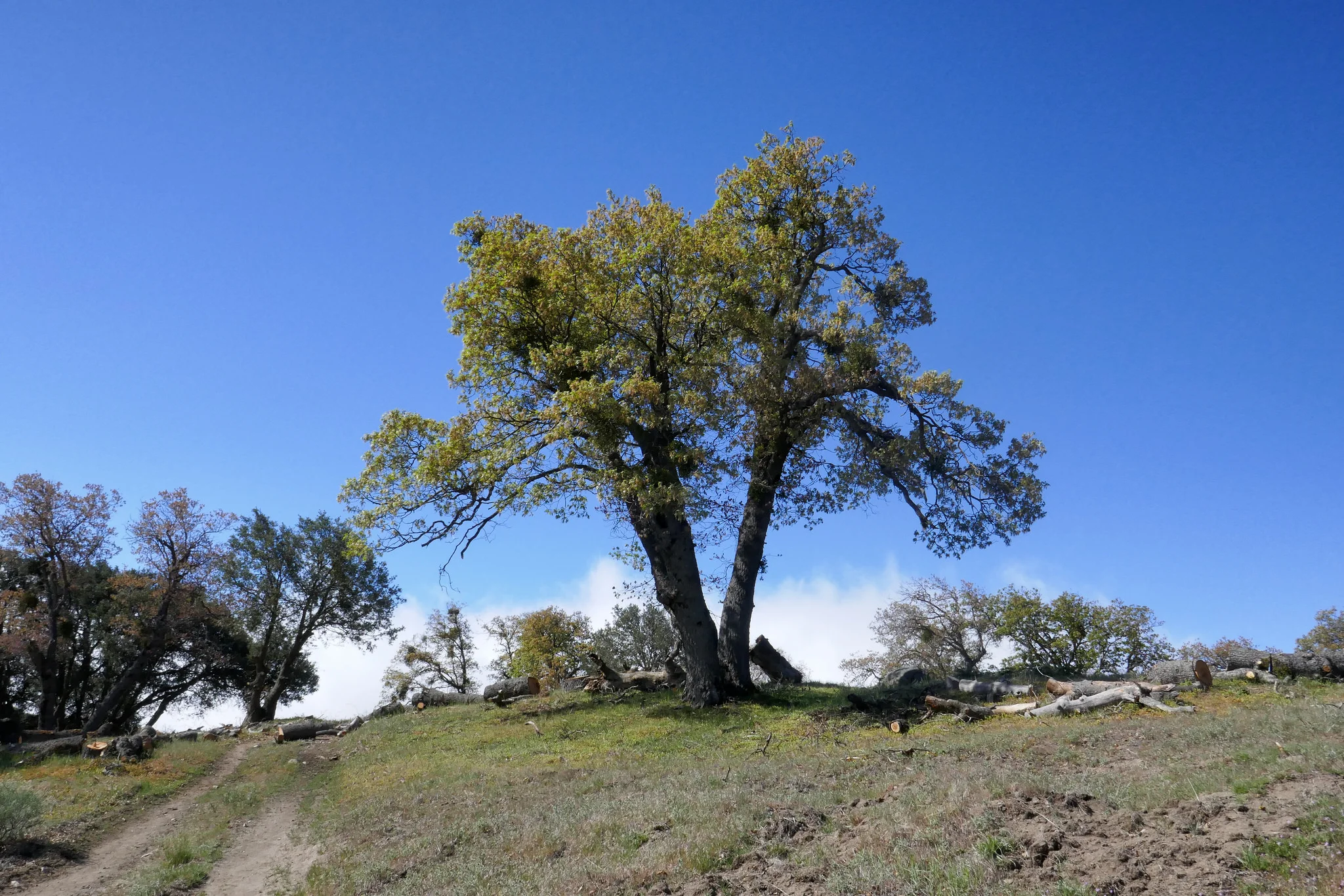
As we get closer to the high point, the clouds start to pass through and roll over the mountain.


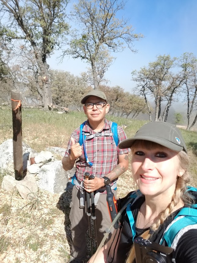
At this junction, the PCT heads east, but we followed the tracks to find the high point of Liebre Mountain.
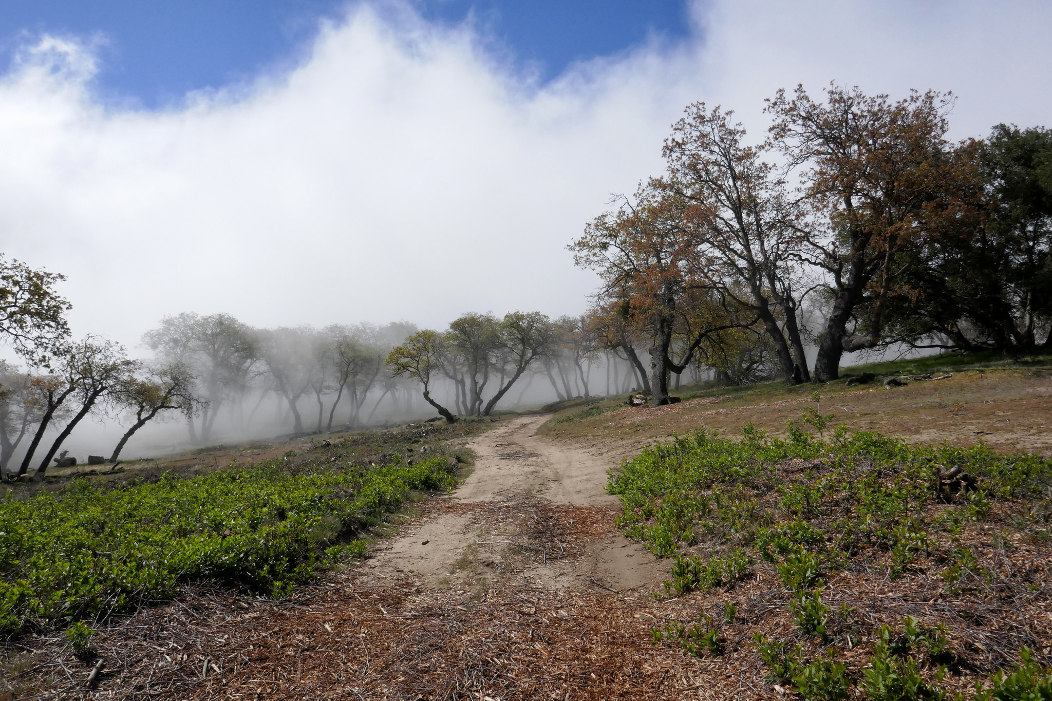

The clouds made it interesting as they passed over the mountain.

This is the summit marked by a wooden post and some rocks. You have to leave the track to find it and do a little hunting.
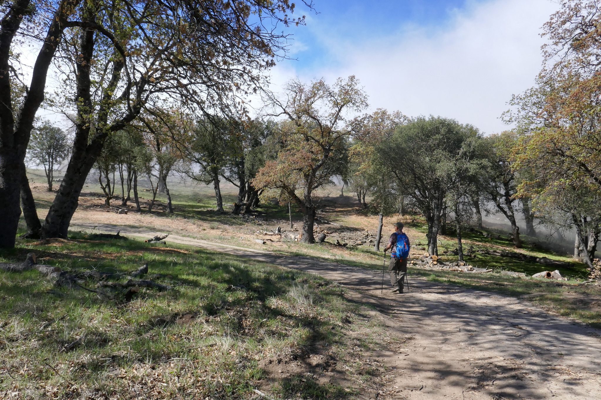
We sat here at the top and had some breakfast. I took a lot of photos as the clouds kept changing the scenery.
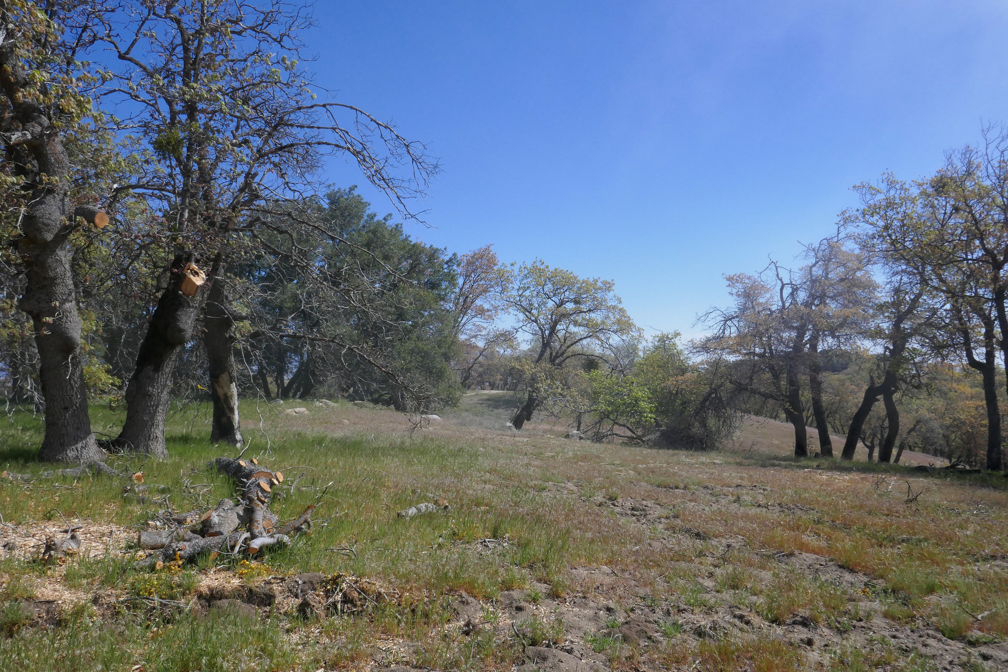


After we had a break, we hiked a little further along the road. You can head east or west, but we didn't go too far since the views were pretty much blocked out by this heavy cloud cover.

More wildflowers. These fiddleneck flowers were found along the road that runs east/west.

And now we began to make our way back.


Going down, we could really appreciate the views to the north.
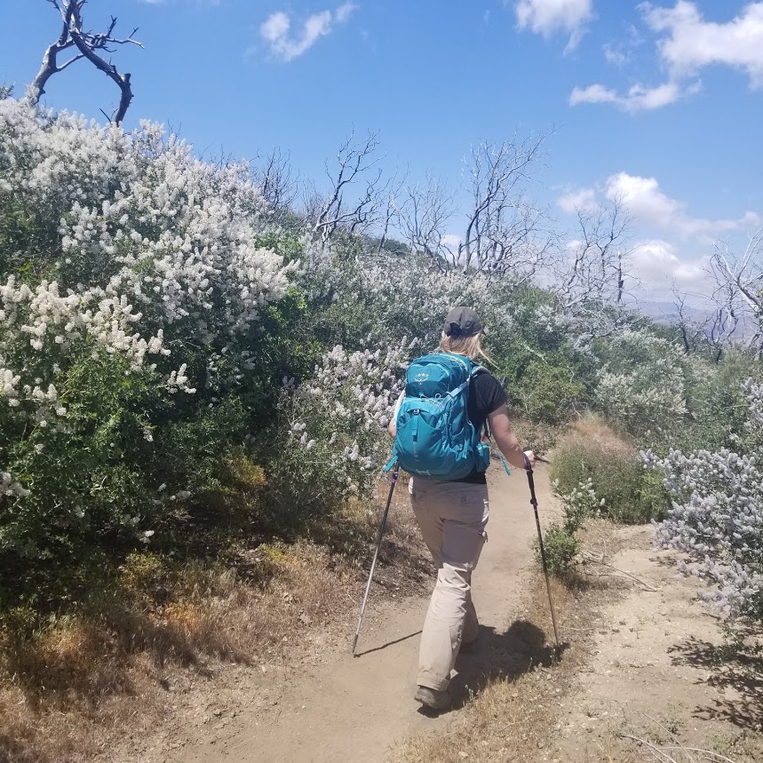
My husband patiently waiting for me to stop taking photos of all the flowers so we could continue our journey. :)

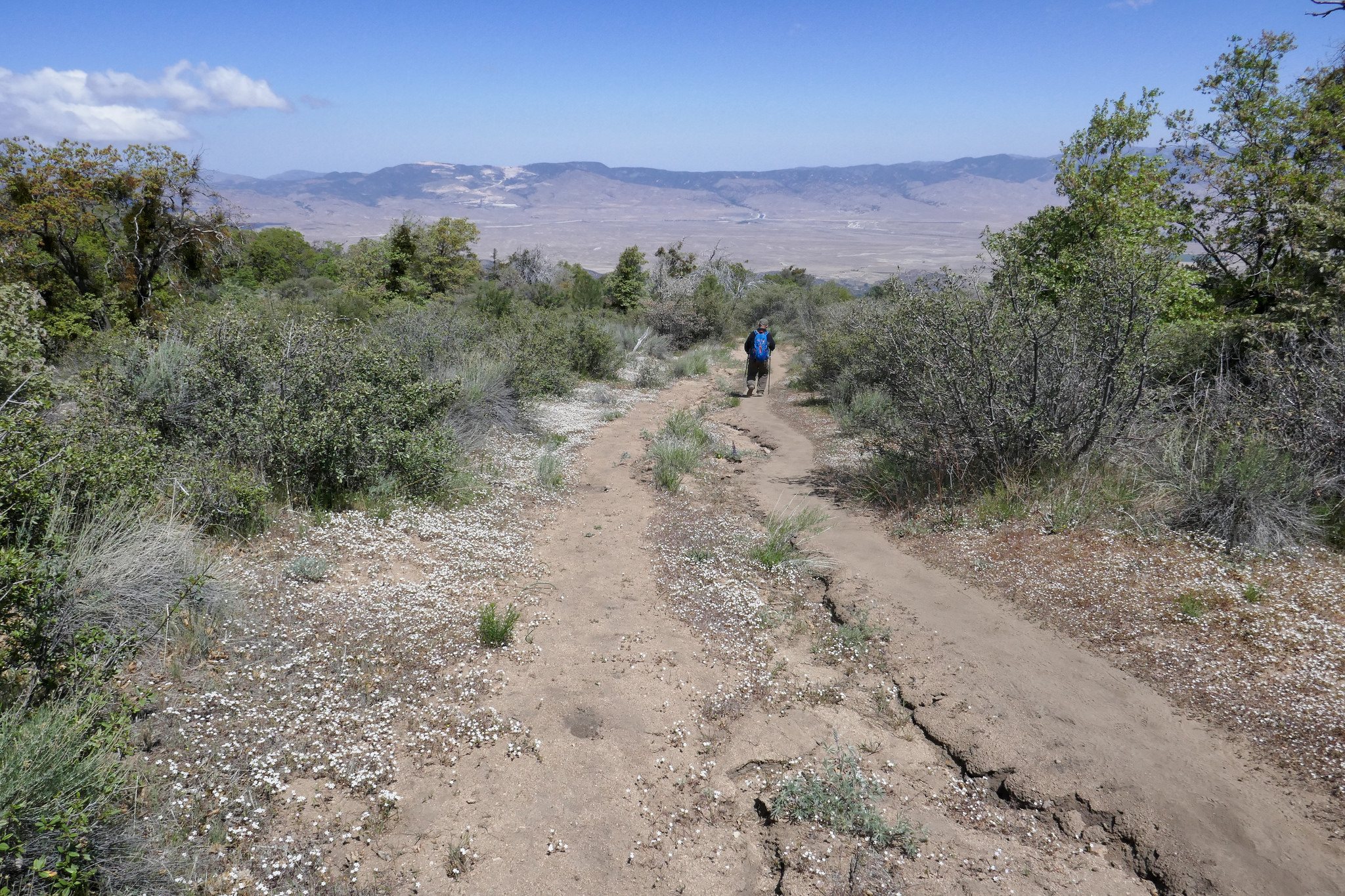


You can see some trees to the left that are damaged from the Pine Fire of 2004.

Oak.


Back through the oak grove.

Looking behind me and back up at the trail.

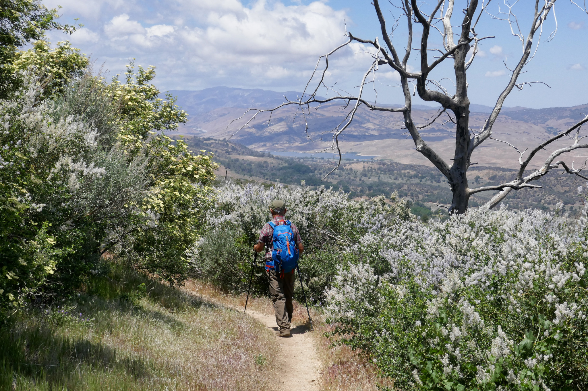
Off in the distance you can see Quail Lake.


Quail Lake in the middle of this photo.


Clearwing Hummingbird moth on Yerba Santa.

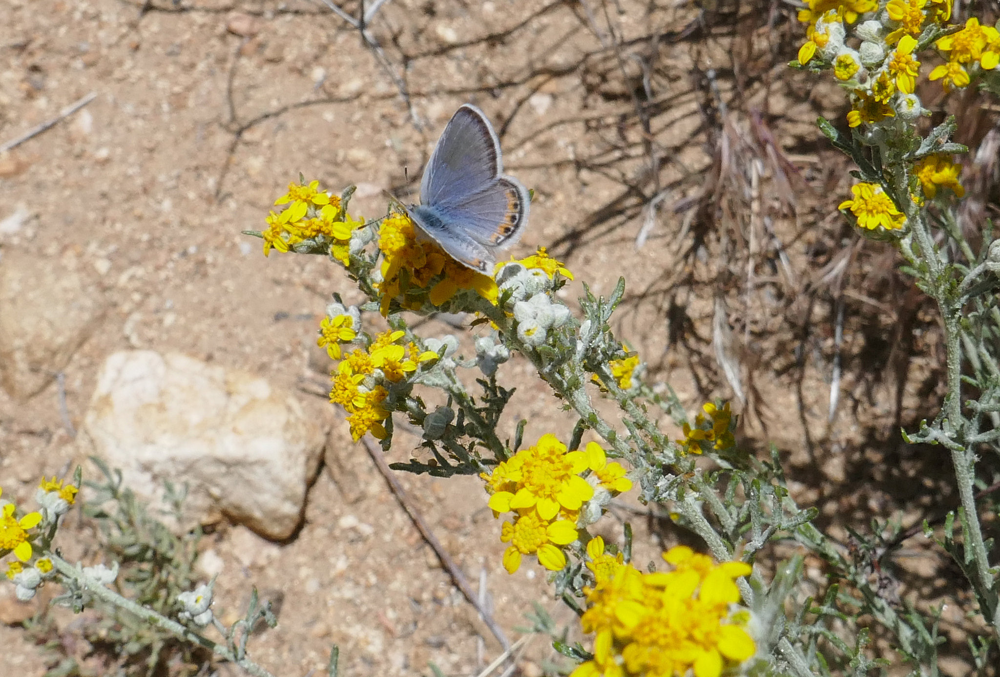
I believe this may be a Lupine Blue butterfly on these flowers that were on the side of the road near where I'd parked.