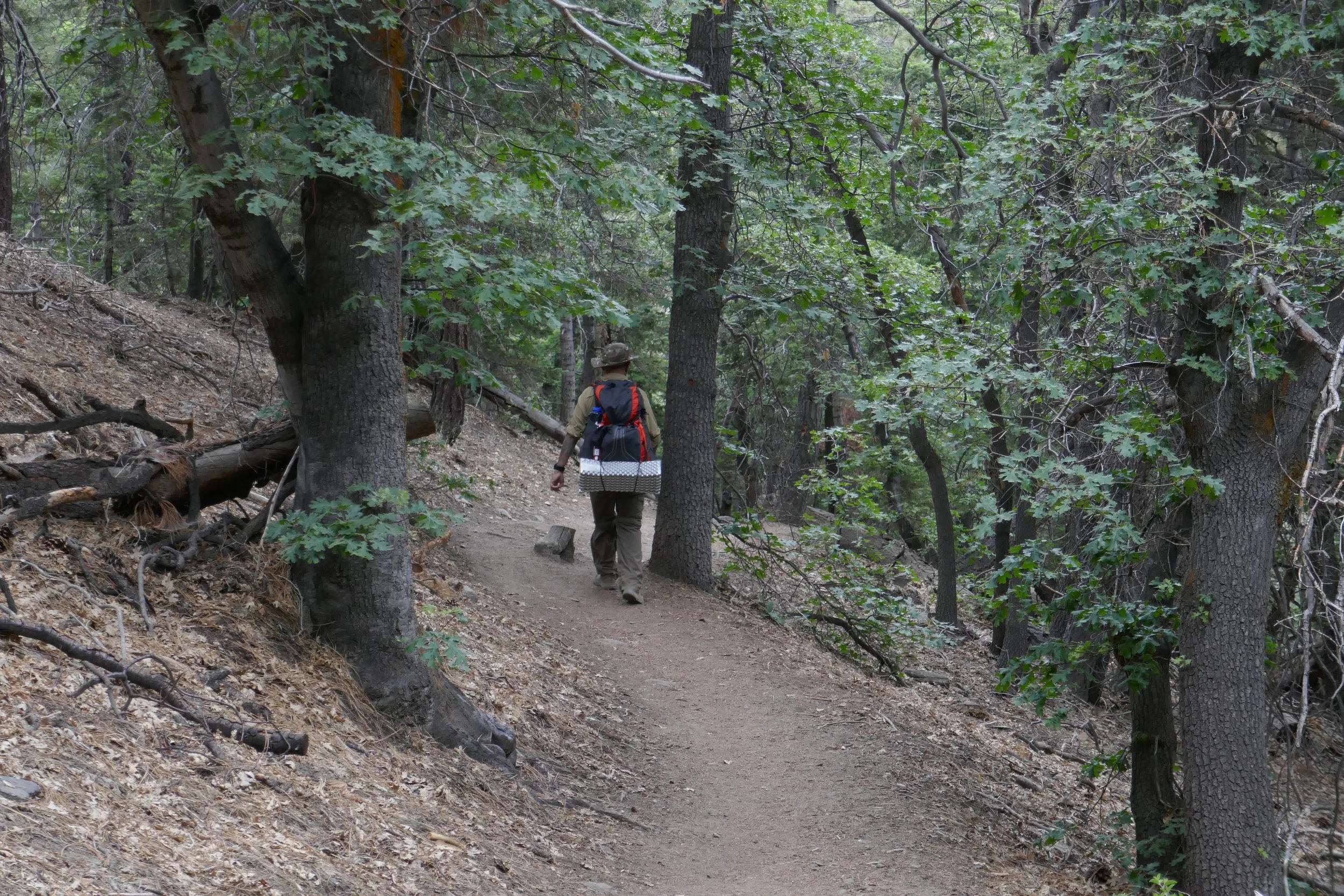
We took a late afternoon hike around Griffith Park, revisiting some of the trails we used to explore when we lived in Burbank. I enjoy hiking from the northern section of the park because it’s usually less crowded than the southern end near the observatory. Today felt especially quiet, with clouds rolling in and the weather hinting at rain. We parked at the Mineral Wells picnic area and walked along the Mineral Wells Trail until we reached Mt. Hollywood Drive. Mt. Hollywood Drive is a paved road free of car traffic and popular with cyclists. This hike offered plenty of scenery, with views of Burbank, Glendale, the Verdugos, and the San Gabriels. Our plan was to loop back via the North Trail, passing Amir’s Garden, and then return to Mineral Wells.
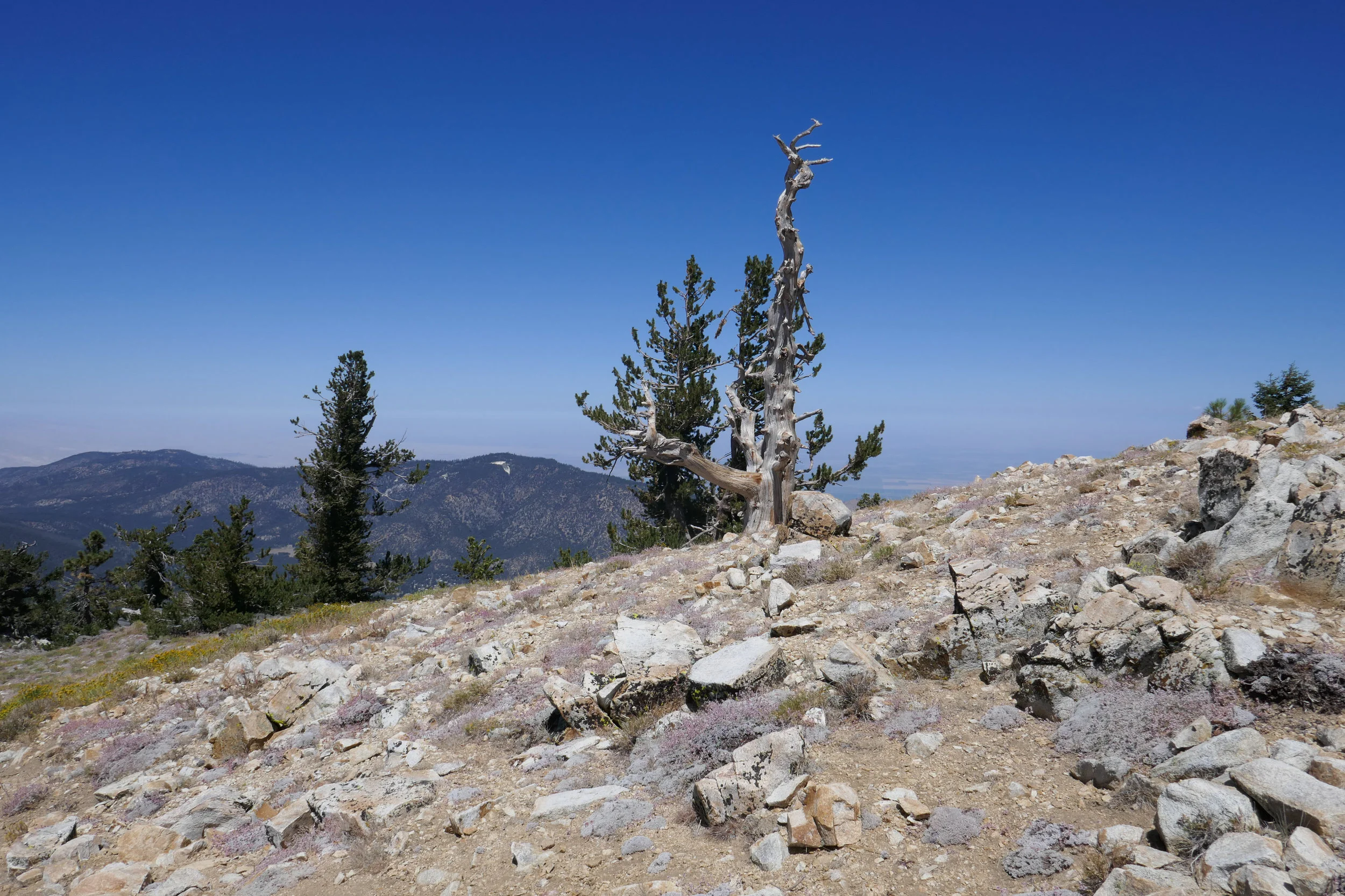
Along the way, I noticed ceanothus, also known as California Lilac, in shades of white and light purple. Ceanothus is native to California and one of the first signs of spring. I reacquainted myself with toyon berries, tobacco plants, California buckwheat, and the tall eucalyptus trees. The higher we climbed into the hills, the chillier it became, and a light rain began to fall. We reached a viewpoint overlooking Royce's Canyon, admiring the peaks – Mt. Lee and Cahuenga – and I spotted the pocket cave nestled in the canyon below. The hills were vibrant and lush, spring at its finest, and the rain enhanced the scrubby fragrance of chaparral and sagebrush.
We encountered some critters during the hike as well: a coyote, a skunk, and a pair of ravens playing in the wind. We passed the haunted picnic table, which looked even more weathered over the years, and after reaching the high point of the loop, we turned toward the North Trail to start our descent. We stopped briefly at Amir’s Garden to admire its beauty, lovingly planted into the hillside, with sweeping views over Glendale. As we approached the end of the hike, the clouds began to clear, the sun emerged, and the sky turned a clear blue – a perfect end to a perfect day.
Click “Read More” below for more photos from this hike.
Read More