mountain

Cloudburst Summit to Cooper Canyon, 6 Miles RT, 1,024' +/-, February 16, 2020

Cloudburst Summit to Cooper Canyon, 6 Miles RT, 1,024' +/-, February 16, 2020

Today we headed up the ACH with our maps, but no solid commitment to a particular trail. I really just wanted to bird watch. We ended up stopping at Cloudburst Summit and hiking down into Cooper Canyon. This is a beautiful section of Angeles National Forest. We’d hike this last year on the PCT in the summer. This time there was a lot of snow. The weather was perfect. It was cool, but the sun was warming. We took a break at Cooper Canyon Trail camp and both of us dozed off lying on top of a log. We saw lots of ladybugs near the stream and there were a lot of butterflies on the trail which was surprising since there was still so much snow on the ground. I was able to get a few photos of the butterflies and I believe they were California Tortoiseshells. My bird sighting list for today included plenty of Mountain Chickadees, Dark-eyed Juncos, Common Ravens and a new one to add to my list, a Clark’s Nutcracker. It was a perfectly beautiful day.

Read More

Lake Fulmor, Deer Springs to Suicide Rock, Idyllwild, CA, February 9, 2020

Lake Fulmor, Deer Springs to Suicide Rock, Idyllwild, CA, February 9, 2020

It was a beautiful Sunday to spend a night in Idyllwild. As we drove up the 243 early Sunday morning, the fog hung heavy over the mountain. Our first stop was Lake Fulmor where I did a little bird watching. This was a much different experience then when we were here on New Year’s day. On that day we couldn’t even get near the lake because there were so many people. This time we had the whole place to ourselves, and it was wonderful! It was so quiet and the fog rolling over the lake was eerily beautiful. I saw a beautiful Red-wing Blackbirds singing in the cattails; a new species to add to my life list! After about an hour or more enjoying the lake, we headed to the Ranger Station to drop off our permit for the Deer Springs Trail. My husband brought along his video camera, and I had both my Nikon birding camera and my Lumix. We took our time and mostly played around with the cameras taking photos and video and not worrying too much about covering any set amount of mileage. The forecast was calling for rain turning into snow later in the afternoon/evening, so we had to keep an eye on the weather. When we reached the junction for Suicide Rock it was clouding up quite a bit, but we decided to push on since it was only one more mile. The forest was very quiet and as we approached Suicide Rock, we started to see some light snow flurries. The clouds were thickening and looming over the mountain and the sky was turning darker and gray. It was so pretty and so peaceful. As we hiked down we passed through a couple of light hail storms. It wasn’t a long hike back — only about four miles. I was thoroughly enjoying the mountain weather and the peace and quiet of the wilderness. We got back to the trailhead around 4:30 pm. By that time I was tired and I was looking forwards to a nice, warm dinner and spending the night by a cozy fire back at our cabin in Idyllwild. It was a beautiful hike. I love it when the weather is gray and chilly. After dinner we snuggled up by the fire and fell asleep. I kept waking up every once in a while to look out the window to see if it had started to snow. The wind was blowing strong and I could see the pine trees being rocked back and forth. It was nice to be snuggled up in a nice warm cabin and I enjoyed listening to the wind in the trees. The next morning there was a light dusting of snow on the car. We got the fireplace going and my husband went to pick up some breakfast while I waited inside. It was snowing and hailing off and on all morning. We enjoyed the lovely fire, a delicious pancake breakfast and the warmth of the cabin before heading back to Los Angeles.

Read More

Josephine Peak, 8 Miles RT, 1,898' +/-, 6,161' Max Elevation, December 24, 2019

Josephine Peak, 8 Miles RT, 1,898' +/-, 6,161' Max Elevation, December 24, 2019

Headed up Josephine Peak today. With storms predicted, I wanted to get in a quick hike before we’d be stuck at sea level for a couple of days. If we get the amount of snow they’re calling for, CalTrans will have their work cut out for them. This next storm is supposed to be bigger than the one we had on Thanksgiving. If that’s the case, the next time we’re up here we’ll be donning the snow gear (and believe me, I can’t wait!). It was a perfect day for this hike. The clouds were rolling past Strawberry Peak making for great photography. The sun was in and out for most of the afternoon. As we wrapped around to the north, it got much cooler and the wind picked up slightly. There were plenty of ravens to watch as they put on their aerial displays, diving and twisting in the sky. They are fascinating birds to watch, and I’ve become enamored with them through the years. We didn’t see one other person on this hike today. I guess everyone is out Christmas shopping. As we headed back, the sun began to lower on the horizon and the clouds started to roll in and wrap around the mountain. Glad we got one in before the weather hits tomorrow!

Read More

San Gabriel Peak, 3 miles RT, 1,030' +/-, Max Elevation 6,161', October 13, 2019

San Gabriel Peak, 3 miles RT, 1,030' +/-, Max Elevation 6,161', October 13, 2019

This weekend we did a late afternoon/early evening hike up to San Gabriel Peak. It was a full moon and I wanted to watch the sunset from the forest and see the moon come up over the San Gabriels. We started the hike from Eaton Saddle and through the Mueller Tunnel. When we reached Markham Saddle, we took the trail towards San Gabriel Peak. I’d forgotten how steep and rugged it is. The views along the way were wonderful. We took a short break at the top, enjoyed the views and then started back down. The sun was beginning to set and it would soon be dark. When we arrived back at Eaton Saddle, we saw a HUGE harvest moon coming up over Mt. Baldy. It was such a beautiful site! It was a short, but sweet evening.

Read More

Backpacking and Camping in Los Padres National Forest, McGill Campground and Mt. Pinos, 997' +/-, Max Elevation 8,848', June 16 and 17, 2019

Backpacking and Camping in Los Padres National Forest, McGill Campground and Mt. Pinos,  997' +/-, Max Elevation 8,848', June 16 and 17, 2019

We had a fantastic long weekend backpacking and camping in Los Padres National Forest! Our first hike was an easy one to the top of Mt. Pinos and back. We wore our heavy packs to continue our training for Mt. Whitney. Afterwards, we headed to the McGill Campground. I was really excited to get to camping! I’d been at this campground a few times before, but never stayed. It was just lovely! The camp hosts are very hospitable and they keep the place in tip top shape. Almost all of the campground is shaded by towering pine trees. If you prefer, you can camp at one of the more exposed sites on the outer edge that offer sweeping views. We almost took one of those, but since it was windy we opted to stay a little farther in. We hung a hammock and enjoyed a lazy afternoon. In the evening we made dinner (just freeze dried meals using the Jetboil stove) and then took a romantic stroll along the Exploration Trail. The Exploration Trail is a paved nature trail leading to some benches where you can sit and enjoy the view. It was a very relaxing evening. Once the sunset, the moon rose and lit up the entire sky. It was magical. I really don’t think I’ve ever seen a full moon as beautiful as the one we saw from this forest. It was amazing and so bright, we didn’t even need our headlamps. When it was time to sleep, the only sounds we heard was the wind howling through the trees. Since it was a Sunday night, there was hardly any trace of human beings around. Just the way I like it! I woke up a few times from the wind during the night and each time, I saw the moon in a different spot as it circled our tent throughout the night. It was about 5:30 am when I woke up and stepped outside to catch a little bit of sunrise. It was so quiet and peaceful and the sky was full of different colors. I wanted to enjoy a little more sleep, so I got back in the tent and didn’t get up again until about 7:30. Once we were awake, we made a fire, had breakfast and relaxed some more before heading up to the Nordic Base and hiking to Mt. Pinos again. This time we went a little further and took the Vincent Tumamait trail down to the bottom of the switchbacks, At that point we decided it was time to head back. I really just wanted to do a good climb with my heavy backpack on to get in some more training for Mt. Whitney before heading home. It really was a wonderful weekend. I especially didn’t want to leave the camp. We will definitely be staying here again sometime in the future. It’s such a beautiful place.

Read More

Pacifico Mountain from Mill Creek, 14 miles RT, 2,316' +/-, Max Elevation 7,124', May 12, 2019

Pacifico Mountain from Mill Creek, 14 miles RT, 2,316' +/-, Max Elevation 7,124', May 12, 2019

What a beautiful mountain. There are so many blooming wildflowers this time of year. We did this hike last year in June and the weather was very hot. This time the weather was still warm, but definitely not as bad. Again, just as last year, we saw very few people other then the PCT thru hikers passing by on their way to the Sierras. We put in quite a lot of mileage and the day was made even longer by my stopping to take photos every few minutes. The best hikes are always the ones where I take my time and don’t feel like I’m in a rush against the clock or in a big hurry to reach the summit. Now that we’ve been hiking for a few years and have hiked many of these mountains, I don’t feel such an urgency to summit and I’m taking more time to stop and really appreciate and enjoy the beauty of my surroundings. Even though Pacifico Mountain was hit hard in the 2009 Station Fire and there’s still a lot of visible damage along the route, it’s a very pretty hike. The area is incredibly beautiful with great vistas and it is full of flowers and wildlife. In fact, we can in very close proximity to a rattlesnake towards the end of the hike and only about a half a mile away from the trailhead. We didn’t see the snake, but we did hear the warning rattle. She must have been alongside the trail hidden where we couldn’t see her. It’s amazing how they can disguise themselves. As we climbed up the mountain, the trail changed from charred trees to beautiful Jeffery Pines. We had lunch at the campground on top of the summit. It would be so nice to camp here sometime. There were a good number of ravens circling and I saw several species of butterflies including painted ladies, swallowtails and duskywings. We spent good amount of time at the top before leaving. There was no one there but us. I scouted around the big boulders to see if I could find the official USGS marker, but I still couldn’t locate it. I’ll check again next time we’re here. It was a really nice day.

Read More

Santa Anita Canyon to Mt. Wilson, 14.5 miles RT, 4,426' elevation +/-, 5,712' max elevation, April 1, 2019

Santa Anita Canyon to Mt. Wilson, 14.5 miles RT, 4,426' elevation +/-, 5,712' max elevation, April 1, 2019

I decided to take a vacation day on Monday so I could go hiking. We headed to Chantry Flats, but we weren’t sure whether or not we wanted to do a longer, more strenuous hike to Mt. Wilson or a shorter loop. We figured we’d decided when we got to the junction at Sturtevant Camp. Santa Anita Canyon was exceptionally beautiful today. There was so much water flowing in the creek. We took the Lower Winter Creek Trail that climbs up along the side of a rocky cliff to the top of Sturtevant Falls. The water was rushing strong and it looked awesome! As we hiked along the trail, we saw so many cascading pools of water. When we reached the junction near Sturtevant we made the decision to do the longer route to Mt. Wilson. I figured why not. I’d taken the day off and had no other place to be. As we started up that first steep mile, I was almost starting to regret my decision. My body was tired, but I didn’t want to turn around. We’d done this route last year, and I remember I really enjoyed it. We slowed up our pace which made it a little more bearable. It was a fun climb! Lots of beautiful scenery along the way. But I was very happy to reach to top because all I kept thinking about was sprawling out at one of the tables at the Cosmic Cafe and eating a ham and cheese croissant my husband had picked up at the donut shop before our hike! Once at the top, we had a nice rest. I took my hiking boots off to give my feet a break too. After we were finished refueling and recharging, we began the 7 mile descent back down the mountain. We took the Mt. Wilson Trail where you can still see quite a bit of fire damage to the Mt. Wilson Toll Road. There had been an avalanche since the last time we hiked on this road, and there were huge fallen boulders strewn across it. They were easy enough to get around, and I wondered what it must have sounded like when they came crashing down. We then reached the junction for the Winter Creek Trail and continued the long, steep descent on the switchbacks until we reached the bottom of the canyon. There were a lot of downed trees to hop along the way and there was also some trail erosion. The trail was still in good shape, but it does need a little TLC from the wonderful volunteers who help keep these trails passable so we can enjoy them. My knees and feet were getting tired, but the Winter Creek Trail is just so pretty. The final part of the hike was the grueling slog up the concrete road leading back to the parking lot. It seems to go on forever and it is steep! I was sweaty and tired by the time we got back to the trailhead, but it was so worth it. It’s been a while since we did any long, hard days on the trail so it felt really good to get out there and enjoy it!

Read More

Griffith Park: Wisdom Tree, Burbank Peak, 1.7 Miles RT, 761' +/-, 1,690' Max Elevation, March 18, 2019

Griffith Park:  Wisdom Tree, Burbank Peak, 1.7 Miles RT, 761' +/-, 1,690' Max Elevation, March 18, 2019

Since I began hiking in Los Angeles, I’d always seen photos of the Wisdom Tree. But since I’d never really been interested in city hiking until now, I never considered hiking up to see him for myself. He’s kind of a celebrity to Los Angeles city hikers. There’s a huge trunk that sits underneath the tree where hikers can leave their “Wisdom Tree Wishes” in the hopes they’ll be granted. This tree is the only tree that survived the 2007 Hollywood Hills fire. Now that our days are getting longer, there’s more time for hiking on weekdays after work. We decided to make the short climb up Burbank Peak where the famous Wisdom Tree is located. This is a very popular trail and there was a consistent flow of all kinds people going up and down the entire time. In front of us, a girl who was wearing only chucks and hiking with a handbag was slipping and sliding on the rocky trail trying to make her way up. She finally realized that this may not be the best idea and asked my advice on whether or not she should continue. I politely let her know it would probably be better to come back another day with a pair of hiking boots. She took my advice and turned around. I felt relieved she did so that she wouldn’t twist an ankle. The climb up was a lot of fun. It was a warm day and I worked up a decent sweat. As we made our way to the top, I saw a few people trying to come down on the rocks wearing sandals. Yikes. In just a short time we reached the top and the Wisdom Tree came into view. I walked up to him, made my introduction and then explored all around the summit taking in the 360 degree views of Burbank, Griffith Park, DTLA, Warner Bros. Studios, Universal Studios and the surrounding mountain ranges. To the east, there was a trail to continue on to Cahuenga Peak and Mt. Lee. We’ll try that one another day. After taking it all in, we carefully began our descent down the rocky trail. Now when I look up at the Wisdom Tree which I can see from the studio where I work, I can finally say that I have met him in person.

Read More

Snowshoeing on Mt. San Jacinto, Desert View Trail & Round Valley, 6.6 miles RT, max elevation 9,100', 900' +/-, January 19, 2019

Snowshoeing on Mt. San Jacinto, Desert View Trail & Round Valley, 6.6 miles RT, max elevation 9,100', 900' +/-, January 19, 2019

We had quite a bit of rain over the past few days and I really wanted to try snowshoeing. We had already made plans months ago to spend the weekend in Twentynine Palms, but instead of hiking in the desert like we normally would have, we decided to take the Palm Springs Aerial Tramway up to Mt. San Jacinto. We rented snowshoes from REI in Burbank and were lucky to get the last two pairs available for the upcoming weekend. Seems everyone had the same idea: Take advantage of the snow while you can. I got up at 4 am and we were on our way by 5 am. When we arrived in Palm Springs at 7 am, the parking lot was already getting filled up; families with sleds, coolers, snowshoes, etc., all gearing up for a winter play day. We got our tickets for the 8 am tram and were on our way up the mountain in no time. The tram is a unique activity to do in and of itself. I never get tired of being hoisted up a steep cliff inside a floating bubble travelling up a cable. The transition from desert floor to sub-alpine is amazing and in just 10 minutes we went from the desert floor at 2,643’ at Valley Station to 8,516’ at the top of Mountain Station. The air at the top of the tram was in the 30s. The snow was hard packed and crunchy with some ice. We headed over to the Desert View Loop to try out snowshoeing for the first time. It was actually quite easy. To me it felt a bit like an elliptical machine. The Desert View loop is a short trail with a gentle incline and five notches overlooking wonderful views. It was the perfect place to start. After we had gotten the hang of things, we headed over to Long Valley Station where we filled out a permit and continued on into the San Jacinto Wilderness with our destination being Round Valley. By this time, more people had arrived, some wearing microspikes and there were many groups of snowshoers and winter backpackers. I really enjoyed being able to “float” on top of the snow in the snowshoes. I also liked having a sturdy grip with the snowshoes’ crampon that dug its teeth into the hard packed snow for traction. I felt very secure both ascending and descending. There were a number of people on the trail today, but we were still able to enjoy some alone time. After arriving at Round Valley, we contemplated going up one more mile up to Wellman’s Divide. But instead, we changed our minds and decided to start heading back, knowing we had a cozy room waiting for us in Twentynine Palms. The weather was warming up now, and the snow was starting to get slushy. I think it was a little after 2 pm when we arrived back at Mountain Station. We had no problems getting on the next tram down and were headed out to spend the rest of the weekend relaxing and enjoying the desert. It was a wonderful day. I think I am hooked on snowshoeing and I cannot wait for the opportunity to do it again!

Read More

Josephine Peak, 8 miles RT, 5,558' max elevation, 1,866' +/-, January 13, 2019

Josephine Peak, 8 miles RT, 5,558' max elevation, 1,866' +/-, January 13, 2019

My favorite part of the hike to Josephine Peak are the spectacular views. It’s a steady 4 mile climb to the peak, and today we had a nice, clear day since it had just rained. As we travelled up the fire road from Clear Creek Station just off Angeles Crest Highway, we could smell the eucalyptus trees and the yerba santa. It was even more fragrant today since it had just rained. I’m not quite sure how the eucalyptus trees got here since they’re not native, but they sure do smell nice. As we continued hiking up the trail, I started to get some great photo ops. Strawberry Peak looked quite impressive and we could see a dusting of snow covering the mountaineer’s route. We also had a nice, clear view of DTLA. The views went out all the way to the ocean. To the north, the high country was covered in fresh snow; Waterman, Baden-Powell, Twin Peaks, etc. As we neared the summit of Josephine, we crossed over a bit of snow ourselves. When we arrived at the peak, the views were even more incredible. The last time we were here we were shrouded in clouds so we didn’t get the 360 degree views that we had today. I took advantage and snapped away with my camera. It was absolutely lovely. After spending some time at the summit and greeting a few fellow hikers who’d come to enjoy the day as well, we decided it was time to begin our descent. The clouds started to roll in as we hiked back down the mountain, but we didn’t see any rain. It was an absolutely perfect day.

Read More

Warm and Cozy on Table Mountain, October 7 & 8, 2018

Warm and Cozy on Table Mountain, October 7 & 8, 2018

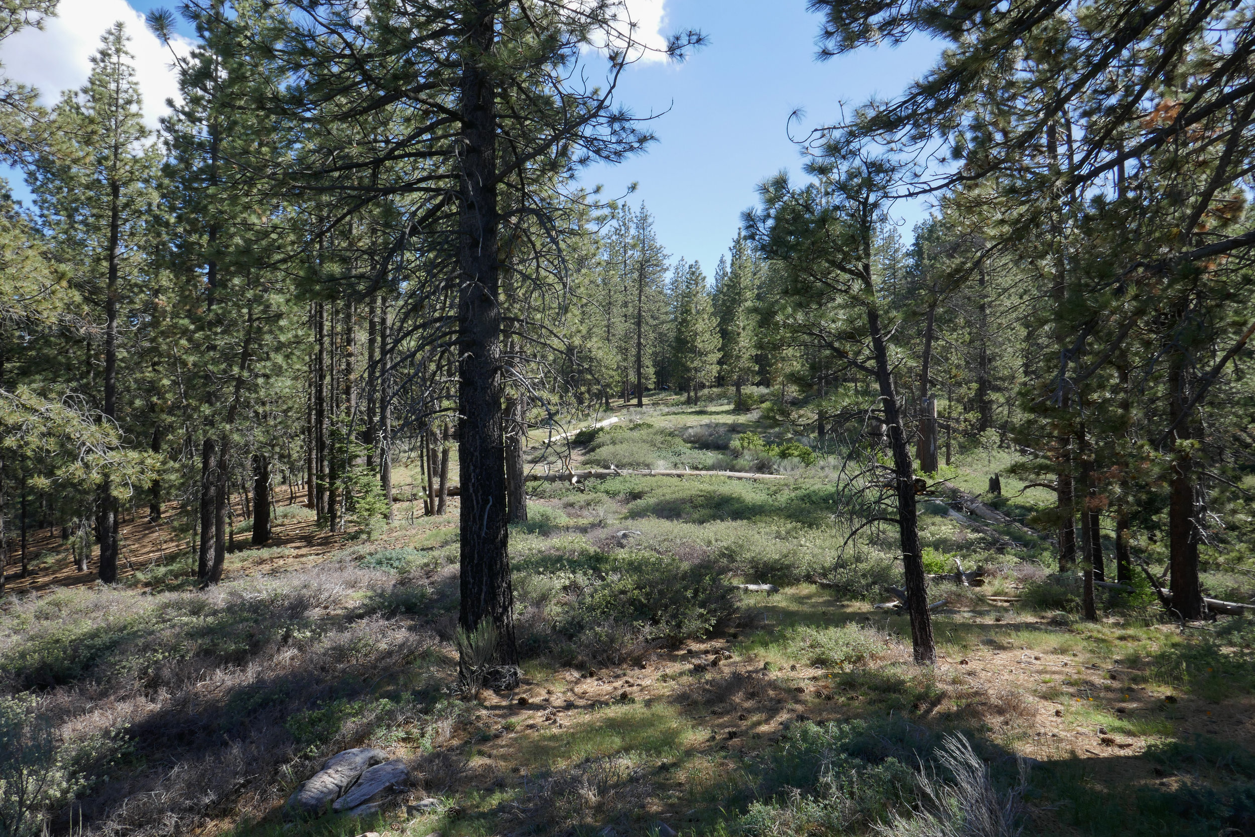
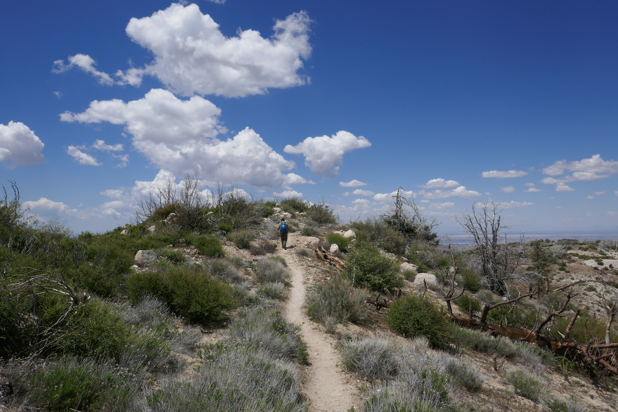
We hiked along the PCT in Wrightwood from Inspiration Point and across Blue Ridge to kill time before checking in at our campsite at Table Mountain. This section of the PCT has great views of Mt. Baden-Powell and Mt. San Antonio (aka Mt. Baldy). It passes by Mountain High Ski Resort and continues on past the Blue Ridge Campground. Some of the oaks were starting to change color, and it finally felt like fall. We did just over two miles on the trail before it was time to head to camp and get set up so we could settle in and enjoy the evening.

The weather in Wrightwood was chilly! I knew we’d be in for a cold night, but I was looking forward to snuggling up inside the tent in our sleeping bags. After we made camp, we headed into town to pick up a pizza and bring it back to camp for dinner. No point in cooking when you have a pizza shop 10 minutes away! Wrightwood is such a cute little town. It’s a nice change compared to the chaos and sprawl of Los Angeles. All the shops were decorated for Halloween and I even spotted a pumpkin growing outside the Wrightwood Market. As we walked around town waiting for the pizza, I felt that warm and cozy feeling I used to get growing up in Pennsylvania when the seasons would change from summer to fall. This is exactly how it should be this time of year.

When we arrived back at camp, we got the fire going right away. The autumn days are getting shorter and it wouldn’t be long before sunset. We spent the rest of the evening enjoying each other’s company and the warmth of the crackling fire. As the daylight faded and darkness set in, the night sky filled with endless stars. We were almost ready to call it a night when we noticed a bright white light appear in the sky. We watched it as it continued to travel in a southwest direction until finally disappearing. Neither of us knew what it was, but guessed it might have been a comet or some sort of rocket. We didn’t find out until we got back to the city and had cell service that it was, in fact, the SpaceX Falcon 9 rocket launch. What a sight to see from on top of a mountain in the middle of a forest!

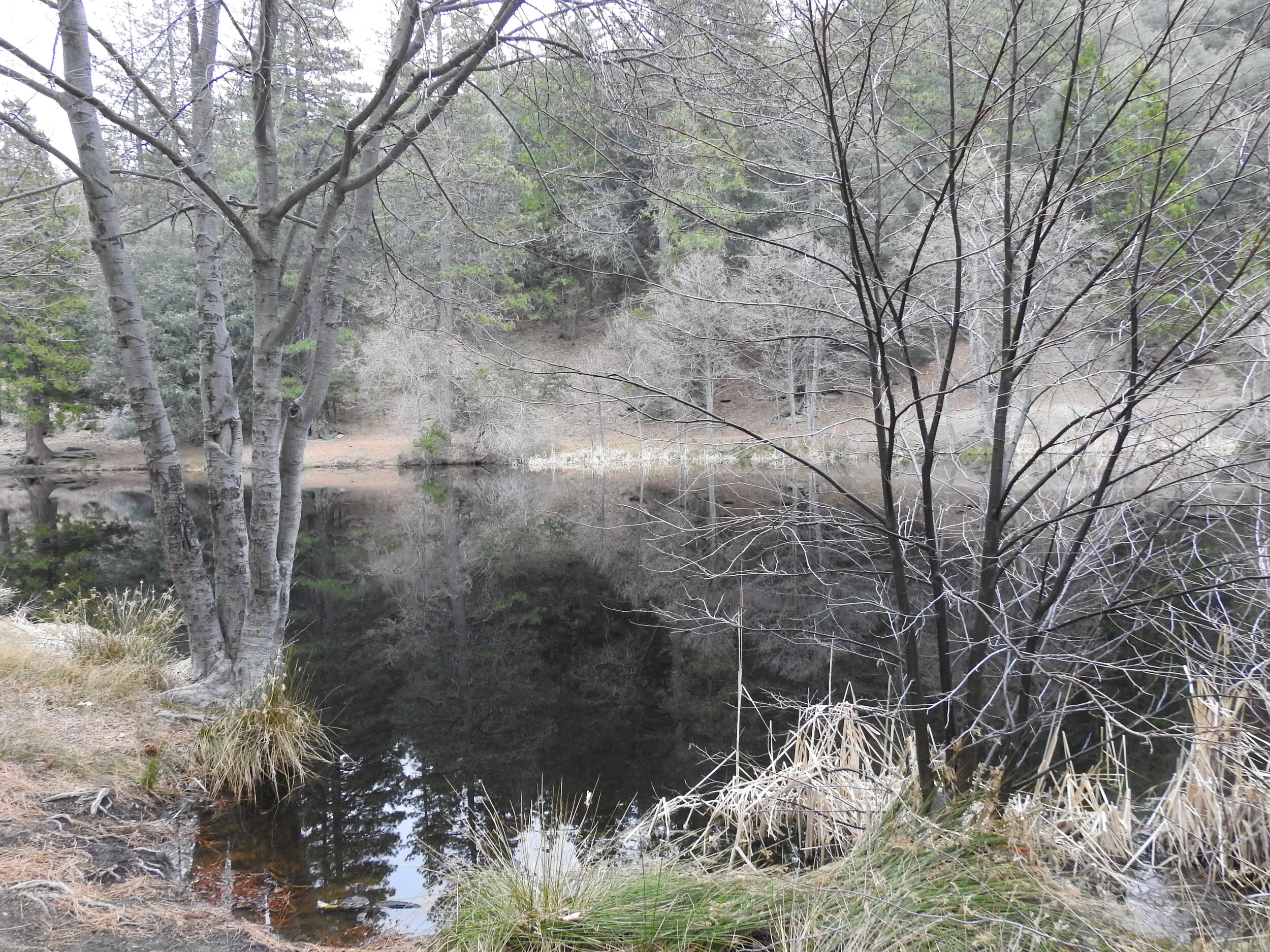
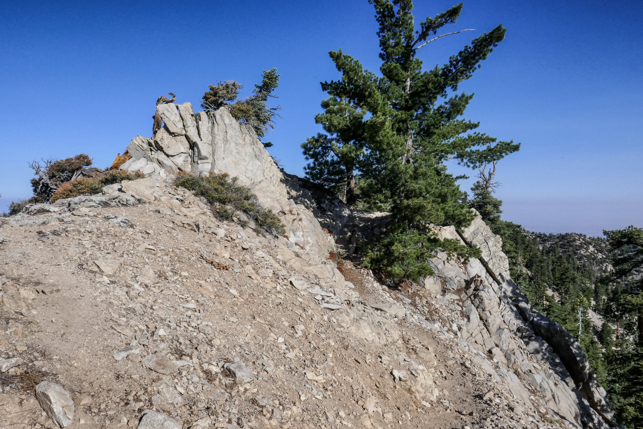
The next morning we were in no hurry to get up from our warm sleeping bags. We slept in until well after sunrise. When we did finally get up, we built a fire to keep warm in the chilly morning air, then made coffee and breakfast. There was no rush to be anyplace else, so we took our time and later did a walk around the campground and enjoyed the views from high up on the mountain before it was eventually time to check out and head back to civilization.

Read More

Red Box to Valley Forge Trail Camp, Gabrielino Trail, 6 Miles RT, 4,868' Max Elevation, 1,276' +/-, September 23, 2018

Red Box to Valley Forge Trail Camp, Gabrielino Trail, 6 Miles RT, 4,868' Max Elevation, 1,276' +/-, September 23, 2018

Today we hiked the Gabrielino Trail East from Red Box to Valley Forge Trail Camp with the option to continue on to West Fork and Devore Trail Camps if we felt up to it. With the cool morning temperatures and the trail covered in falling leaves from the towering oaks that surrounded us, it was finally starting to feel like fall. The first part of the trail descended the steep stone steps from the Red Box picnic area then continued down some exposed switchbacks. It wasn’t long until we were in the cool shade of the oaks following the trail along the South Fork of the San Gabriel River. The stream was dry at this time of year, but that didn’t stop the gnats from bothering us. Luckily, we were prepared and always have our bug nets with us which prevented the pesky insects from flying into our eyes.

On our route we passed by some cabins and the ruins of an old, stone chimney. After about two miles, we reached the junction for the Valley Forge Trail Camp that was marked with a sign at the spur. We descended the spur to the camp to check it out and see if it was a place we’d like to stay as a future backpacking trip. The camp was lovely with plenty of shade, fire rings, picnic tables and primitive bathrooms. We set up at one of the picnic tables and decided to stay a while. I made friends with a Steller’s Jay who invited himself to our breakfast table. It was a very nice day and we were thoroughly enjoying the peace and quiet! This hike along this section of the Gabrielino Trail reminded me a bit of Santa Anita Canyon sans the crowds. We will definitely be coming back when the weather cools down a bit more to hike the longer routes to West Fork and Devore Trail Camps, and perhaps enjoy an overnight stay.

Read More

Car Camping Table Mountain Campground, Wrightwood, CA September 15 & 16, 2018

Car Camping Table Mountain Campground, Wrightwood, CA September 15 & 16, 2018

This weekend was our first overnight camping adventure! We decided to start at an established campground with all the amenities (water, fire ring, picnic table, bathrooms) so we chose Table Mountain in Wrightwood. This is a beautiful campground that sits on top of the mountain at an elevation of 7,000’. There are great views from the camp, but it can get windy at night so we reserved a campsite ahead of time that had some protection from the wind. We had wanted to get to camp earlier in the day and do some hiking, but I underestimated the amount of time we’d be stuck in traffic on the way there. Usually, when we make the drive to Wrightwood, we leave very early in the morning before the freeways have time to get jammed. It was around 4 pm when we arrived which gave us just enough time to set up camp, build a fire and make dinner before the sun set. Once we were settled in, we sat by the fire relaxing and roasting marshmallows for making s’mores. It was a beautiful night with perfect weather. The forest was so peaceful with only the sound of the wind blowing through the trees. Our new tent and sleeping bags served us well. Around 2:30 am my husband and I both woke up and went outside to look up at the stars. It’s not often we get to see so many of them since we live in the city. In the morning (I think it was sometime after 6:30 am) I awoke to the sound of chickadees chirping outside our tent. We were so relaxed that we ended up just hanging around camp all morning in our sleeping clothes, cooking breakfast and drinking coffee. There was no rush to go anywhere or do anything besides sit in the warm morning sun enjoying the peace and quiet. I got a kick out of watching the birds take turns diving into my cooking pan to get the pancake crumbs leftover from breakfast.

Originally, when we got all our gear I really thought we would be using it mostly for backpacking overnights. But now that we’ve done car camping, I can absolutely see us doing this more often. It’s a great way to spend the weekend when you just want to get away, detox from the stress of everyday life and unplug from the electronics that we are unfortunately forced to be glued to all week long at our jobs. We’re already making plans for the next overnight adventure, and I can hardly wait!

Read More

Backpacking Test Run to Blue Ridge, Wrightwood, CA, 7 miles RT, 8,116' Max Elevation, 1,404' +/-, September 2, 2018

Backpacking Test Run to Blue Ridge, Wrightwood, CA, 7 miles RT, 8,116' Max Elevation, 1,404' +/-, September 2, 2018

I had my mind made up about wanting to transition from day hiking to backpacking. Once I get my mind set on something, I obsess over it until it happens. After spending a couple of weeks doing research, I felt confident enough to head over to REI and make the investment. We spent the following day setting up camp in the living room and practicing packing our backpacks. Sunday morning (also my birthday), we headed out with all our new gear to Wrightwood to hike the Blue Ridge Trail. The Blue Ridge trail was a perfect trail to get a feel for the new packs with the additional weight we’d be carrying on a backpacking trip. I picked this trail because it’s well maintained, it’s not too steep and there is no scree which makes it a great place for a worry free trial run. There’s also a bit of altitude (over 8,000’ at the ridge) and about 1,000’ of gain in two miles. Both of us carried over 20% of our bodyweight which slowed us down from our normal day hiking pace. But backpacking, to me, is a different mindset. It’s not about rushing to bag a peak or hiking to be at a certain place by a certain time. This is a quote from one of my hiking books that could not sum up how I feel about backpacking any better:

“Once you realize that the road is the goal and that you are always on the road, not to reach a goal, but to enjoy its beauty and its wisdom, life ceases to be a task and becomes natural and simple, in itself an ecstasy.” - Sri Nisargadatta Maharaj

I believe backpacking is going to take us on exciting new journeys into the wilderness and offer us amazing experiences that will make our lives even richer. In a few weeks, we’ll be setting up camp for the first time to enjoy our first overnight in the forest. I’m really excited about all of this and looking forward to many adventures to come!

Read More

Onion Valley to Kearsarge Pass, 11 miles RT, Max elevation 11,835', 2,972' +/- August 19, 2018

Onion Valley to Kearsarge Pass, 11 miles RT, Max elevation 11,835', 2,972' +/- August 19, 2018

The trek from Onion Valley to the top of Kearsarge Pass was a spectacular day hike! The Kearsarge Pass Trail heads west from the trailhead at Onion Valley entering the John Muir Wilderness at approximately .7 miles. On this 11 mile round trip journey, we passed through foxtail pine forests, crossed over boulder fields, hiked alongside waterfalls and aquamarine colored lakes filled with golden trout. A final rigorous high altitude ascent up a barren, rocky slope lead us to Kearsarge Pass where the trail crests the Sierra at an altitude of 11,835 breathtaking feet! We were rewarded with the most sublime views I have ever seen; the glaciated Sierra peaks, sparkling turquoise pools of water and views into Kings Canyon National Park. Here are some photos with captions below each to describe our incredible journey.

Read More

Winston Ridge & Winston Peak, 5 Miles RT, 1,358 +/-, 7,618' max elevation, August 12, 2018

Winston Ridge & Winston Peak,  5 Miles RT, 1,358 +/-, 7,618' max elevation, August 12, 2018

We watched the sunrise from Cloudburst Summit as we geared up and got ready to hike to Winston Ridge and Winston Peak. We’d been to Winston Peak a few times before, but we had climbed it from the north side. This time our plan was to hike to Winston Ridge first (which we had not done) and then tackle the steep ascent up the use trail on the south side of the mountain to Winston Peak. We began the hike by descending the fire road and heading northwest on the PCT. When we reached a small saddle with Bump 6903 we had a choice to climb up and over the bump or hike around it to the left or to the right. From the research I’d done it seemed taking the use trail to the left was going to be our best option. The trail was quite rugged with soft dirt and loose rock that would give way if you weren’t careful. We had a number of downed trees to negotiate as well. There was one rather large tree that was particularly challenging. (I will talk more about that later.) This rugged section of trail tested our agility for sure, but it was definitely a lot of fun. When we reached another saddle, we continued northwest to reach the high point on the ridge. The hike along the ridge was undulating and lovely with views of Squaw Canyon to the south and Pleasant View ridge on the opposite side. We could also see the transition zone from forest to desert. We hiked past the high point on the ridge and came to a rock formation that reminded me of the back of a stegosaurus sticking out of the ground. I examined it looking for a way to get around it, but it looked a little sketchy, so I opted not to continue any further. We took a long break on the ridge and chatted about how nice it was to be the only ones here. For such a fun hike I was surprised it didn’t have more people on it. But being I like my solitude, I was not complaining. I explored some of the interesting rock formations and checked out the views in all directions while my husband made some contacts on his HAM radio. Before continuing the journey, we signed the summit register which was tucked away in some rocks marked by a rock cairn. We then started heading back enjoying the views and the scenery along the ridge. As we got closer to the saddle, I had a good perspective of that very large downed tree I’d mentioned earlier. We had climbed over it on the way to the ridge and it looked awfully menacing from this angle. When we reached the downed tree, my husband went over first (as we had done on the way to the ridge) so I could hand him my backpack making it easier for me to maneuver up and over. The footing here was loose, and we had to be extra careful. We continued along the slippery slope and at one point we diverted slightly off trail after negotiating another downed tree. We could see the saddle and Winston Peak right in front of us and were able to correct ourselves right away. Once back at the junction with the PCT, we had the choice of hiking back the way we came, or we could make the steep ascent up the south side of Winston Peak on a use trail. We decided to take on the challenge! The climb showed no mercy, but it sure was fun! The ground wasn’t nearly as slippery as what we’d experienced on the way to the ridge. I turned around to look back a few times to take in the wonderful views of Winston Ridge and snap some photos. This was also a good excuse to catch my breath. The climb seemed to go on and on, but I could see the top and I knew we’d be there in no time. Once at the top of Winston Peak, we gave each other a high five. We both felt pretty accomplished! I wandered around the summit for a while climbing about the rock formations and keeping an eye out for a summit register. I never did find one. We then descended down the north side of the mountain and back to Cloudburst Summit. I had actually wanted to include the short hike to Mount Akawie (aka Buckhorn Peak) on this trip, but both of us decided what we really wanted was a bacon cheeseburger and some fries! It was well earned after this climb!

Read More

Mount Williamson 8,214', 5 miles RT, 1,552 +/-, July 29, 2018

Mount Williamson 8,214', 5 miles RT, 1,552 +/-, July 29, 2018

The best time for hiking during the hot summer months is EARLY! I like to be on the trail either before sunrise or shortly after so I can enjoy my time on the trail before the day heats up. This is also the time of year when I like to stick to the high country or look for higher elevation hikes which are usually a bit cooler than those at the lower altitudes. Mount Williamson was the perfect hike for today; a short 5 miles from the Islip Saddle trailhead with a little bit of an elevation gain and a fun climb. The early morning sunlight was brilliant as we headed up the trail which starts off on the PCT. It wasn’t long before views of Mount Islip opened up to the south on the opposite side of the Angeles Crest Highway. The hike to Mount Williamson is a fun one. We did this last year in September and I really enjoyed it. The climb is mostly steady until you get closer to the top where you leave the PCT and the trail to Mt. Williamson becomes quite steep and rugged. Once at the top we had wonderful 360 degree views. It was only us on the summit so we took our time, had some snacks and after orienting my map, I spread it out and secured it with some rocks so I could use it to identify some of the surrounding features of the area. Many of the surrounding peaks were visible including Mount Lewis, Mount Baden-Powell, Throop Peak, Mount Hawkins and Twin Peaks to name a few. To the north I could see all the way out to the Mojave Desert and to the southwest I had a nice view of Williamson Rock, which was once popular with rock climbers until the area was closed off to protect the mountain yellow-legged frog. It was barley 9 am and already I could feel the sun starting to heat up the day, so we headed back enjoying our time on the trail and the sweet, vanilla fragrance of the Jeffery pines along the way.

Read More

Mt. Pinos 8,831' & Sawmill Mountain 8,819', Los Padres National Forest, 8 miles RT, 1,437' +/-, July 15, 2018

Mt. Pinos 8,831' & Sawmill Mountain 8,819', Los Padres National Forest, 8 miles RT, 1,437' +/-, July 15, 2018

We headed into the local mountains on Sunday for a nice easy day of hiking in the Los Padres National Forest.  We did a short 8 mile hike to Mt. Pinos and Sawmill Mountain.  We did these peaks in May of this year and at that time we also added Grouse Mountain which completed the 3-2-1 challenge.  (Check out  mymountainchamber.com for info. on the challenge.) .  It's a lovely area to explore.  This time around the weather was much warmer then the last when it was cool and cloudy.  I got to see some butterflies and the highlight of my day, a horned lizard.  He blended in so well with his surroundings that I could barely see hime when looking through my camera lens.  After reaching Sawmill Mountain and taking in the views from there, we decided to head back before the day got too hot.  This was a nice hike to ease us back into it after an incredible 3 days spent in the Eastern Sierra.

Read More

Alabama Hills, Georges Fire, Horseshoe Meadow, Mobius Arch, Eastern Sierra, July 9, 2018

Alabama Hills, Georges Fire, Horseshoe Meadow, Mobius Arch, Eastern Sierra, July 9, 2018

Our original plan for our trip was to hike the Mount Whitney Trail to Lone Pine Lake, but I learned the night before a fire which was caused by lightening strike had closed Whitney Portal Road at Hogsback and there was no access to the Whitney Portal Trailhead.  Upon arrival, we stopped at the Eastern Sierra Interagency Visitors Center to talk to the rangers, pick up some additional maps and decide on our best "plan b" options which we gathered the night before.  I had several ideas in mind, of them being a nice, long day hike to Cottonwood Lakes which was then recommended to us by the rangers.  So Cottonwood Lakes it was!  We already had the maps for that, so I picked up a visitor's guide and a whole slew of other maps for future trips and we were on our way to do a little sight-seeing before the next day's trek.  Our first stop was the Alabama Hills where the rock outcrops frame incredible views of Mount Whitney.  From here we could see the Georges Fire burning, and the smoke was pluming towards the north so the air quality seemed to be okay at our location.  I took some photos and then we headed off to check out the trailhead for where we'd be hiking the next day.  From Whitney Portal Road before the closure, we turned onto Horseshoe Meadow Road which is an adventure unto itself.  The paved road switchbacks up the mountain 6,000 feet from Lone Pine's desert floor, all the way to an elevation of 10,000 feet with its terminus at Horseshoe Meadow.  We drove around to scope out the area, make note of where our trailhead would be and then stopped off at the day use area to have a picnic lunch before heading back to check into our hotel.  It was later in the afternoon by now and we could see the gray clouds forming and hear the soft sound of rolling thunder off in the distance.  The threat of storms are very common in summer.  If there's one thing I know about mountains at this high an elevation, they make their own weather so you have to be prepared for anything and know when to descend.  It was very peaceful up there as we listened to the soft booms that were farther off in the distance.  I pulled the maps out of the car to check out the terrain so we could get an idea of what to expect along our destination the next day.  Later that evening after stopping in Lone Pine for a bite to eat, we head back to the Alabama Hills for a quick little stroll to Mobius Arch, a natural arch that is formed in the rock formations.  A lot of people like to take photos through the arch because it frames Lone Pine Peak quite nicely.  I didn't make take the classic shot at the arch since there was another photographer there who had his equipment set up and I didn't want to disturb him.  Instead I walked just around the side of Mobius and found Lathe Arch and took my shot there.  As the sun was setting we could see the embers from the fire burning.  It was a lovely sunset, but we needed to get back to the hotel so we would be well rested for our hike to Cottonwood Lakes the next day.

Read More

Mount Pacifico 7,134', 2,398' +/-, 14 miles on the PCT from Mill Creek, June 3, 2018

Mount Pacifico 7,134', 2,398' +/-, 14 miles on the PCT from Mill Creek, June 3, 2018

I’m always looking to escape weekend crowds and find new trails to explore. This Sunday our hike was to the top of Mount Pacifico in the northern part of Angeles National Forest. We planned to start the hike at Mill Creek and follow the PCT which runs through this area. It looked like the trek would be around 12 to 14 miles depending on whether or not we did an out and back on the PCT or did a loop. The day was going to be hot, but I figured since we were heading up to a higher elevation, it might not be so bad on the ascent. If it got too hot, we would descend and save it for another time. The trail was very beautiful. There were many wildflowers and so much ceanothus (California lilac) which made for a very pleasant fragrance along the way. There was lots of wildlife activity too; squirrels, chipmunks, songbirds, bees, insects and butterflies. As we climbed higher, we started to see beautiful, tall pine trees. Much of the area was burned in the 2009 Station Fire, and we could see the effects of that as we hiked this route. But the area looks as though it’s been recovering nicely. Eventually, we reached a junction where we left the PCT and headed southeast to a jeep road that took us up to the summit. There are outstanding views of the surrounding mountain ranges along the way making the road more interesting. After about a mile or so we reached the summit. Mount Pacifico Campground is also here. There are picnic tables, a fire ring and vault toilets. That’s quite a luxury to have up on a summit! There are also a lot of very interesting rock formations to explore. There wasn’t anyone here today, so we took a good long rest and relaxed and enjoyed the peace and quiet. Soon it was time to head back and get ready for the heat as we descended to a lower elevation. We opted to come back the way we came on the PCT for a more scenic and enjoyable route. Both of us had been keeping well hydrated throughout the trip and we had no problems with it being so warm. We were even gifted with an occasional breeze as we hiked back down the mountain. I found this trail to be very nicely graded so although it was long, it was very pleasant. A very enjoyable hike!

Read More