This weekend we did a hike up Pacifico Mountain. I love this hike. It’s a nice, long 13 mile day from Mill Creek, and in the summer the trail is full of wildflowers. I also enjoy this hike because I always see lots of ravens. They are such fascinating and intelligent birds. I love to watch them twisting and twirling as they play in the wind. On this day we got started a little late. We didn’t have time to cover all 13 miles, so we didn’t go all the way to the campground. When we first arrived the wind was gusting pretty hard, but it subsided as we got to hiking. As we climbed higher, we started to see snow on the trail left over from the rains we had the previous week. I imagine this will be the last time we hike this trail until the snow melts. Because this is a north facing mountain, the snow will hold for a long time. There’s another storm coming later in the week, and this one is supposed to bring a lot of snow down to the lower elevations. There is another route to the top on a fire road that you can take, but I’ve never tried hiking it. This could be an option for a future winter hike rather than the icy trail. As always, we had another fantastic day in the mountains!
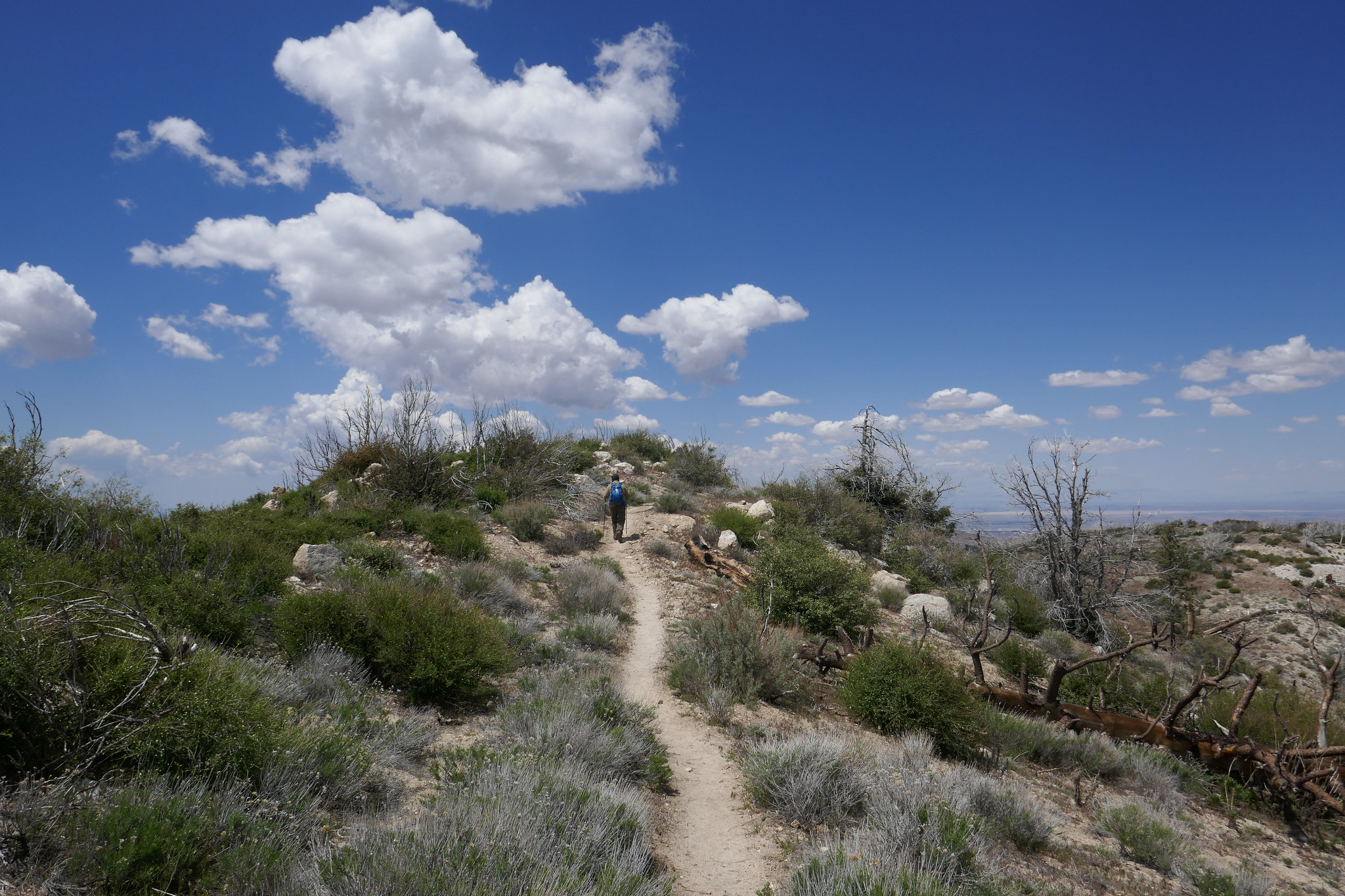
What a beautiful mountain. There are so many blooming wildflowers this time of year. We did this hike last year in June and the weather was very hot. This time the weather was still warm, but definitely not as bad. Again, just as last year, we saw very few people other then the PCT thru hikers passing by on their way to the Sierras. We put in quite a lot of mileage and the day was made even longer by my stopping to take photos every few minutes. The best hikes are always the ones where I take my time and don’t feel like I’m in a rush against the clock or in a big hurry to reach the summit. Now that we’ve been hiking for a few years and have hiked many of these mountains, I don’t feel such an urgency to summit and I’m taking more time to stop and really appreciate and enjoy the beauty of my surroundings. Even though Pacifico Mountain was hit hard in the 2009 Station Fire and there’s still a lot of visible damage along the route, it’s a very pretty hike. The area is incredibly beautiful with great vistas and it is full of flowers and wildlife. In fact, we can in very close proximity to a rattlesnake towards the end of the hike and only about a half a mile away from the trailhead. We didn’t see the snake, but we did hear the warning rattle. She must have been alongside the trail hidden where we couldn’t see her. It’s amazing how they can disguise themselves. As we climbed up the mountain, the trail changed from charred trees to beautiful Jeffery Pines. We had lunch at the campground on top of the summit. It would be so nice to camp here sometime. There were a good number of ravens circling and I saw several species of butterflies including painted ladies, swallowtails and duskywings. We spent good amount of time at the top before leaving. There was no one there but us. I scouted around the big boulders to see if I could find the official USGS marker, but I still couldn’t locate it. I’ll check again next time we’re here. It was a really nice day.
Today we set out to hike from Mill Creek Summit on the Pacific Crest Trail and up to the Pacifico Mountain Campground. I knew this mountain was a north face, and I had a feeling we might encounter some icy patches on the trail, but we decided to give it a go. I knew there would be some snow up at the campground after the recent rain, and I wanted to take advantage of that since we never know what kind of winter we’ll have here in Southern California. We were about two miles into the hike and we started to come across patches of hard packed ice. We had microspikes to slip onto our boots for traction, but if we were to continue, coming down would be sketchy. Neither one of us wanted to risk spraining an ankle, so we decided to turn around and head back. Since it was still early in the day, we drove to Charlton Flats, had some lunch and then drove up to Waterman Mountain which I knew would be reliable for a nice snow hike. It was about 12:30 when we started on the trail and I expected to see many more people hiking, but it was actually very quiet. Most of the snow play folks stayed on the fire road or over at the Buckhorn day use area and there were very few people hiking up the Waterman Mountain trail. The few people we past were hiking with dogs in tow, or rather I should say they were in tow of their dogs. That’s the one thing I love about hiking… seeing all the happy dogs on the trail. As we got higher up, we seemed to be the only people on the trail. The sky was gray with overcast clouds and the mountain seemed still and peaceful. It was around 2:15 when we reached the Twin Peaks junction which is about 3/4 miles away from the Waterman Mountain summit. At this point we both decided it was time to head back to make sure we returned safely before the sun set and the temperatures dropped and turned the melting snow to ice. We both went home satisfied after spending another beautiful day in our Southern California mountains.