steep

Mount Williamson 8,214', 5 miles RT, 1,552 +/-, July 29, 2018

Mount Williamson 8,214', 5 miles RT, 1,552 +/-, July 29, 2018

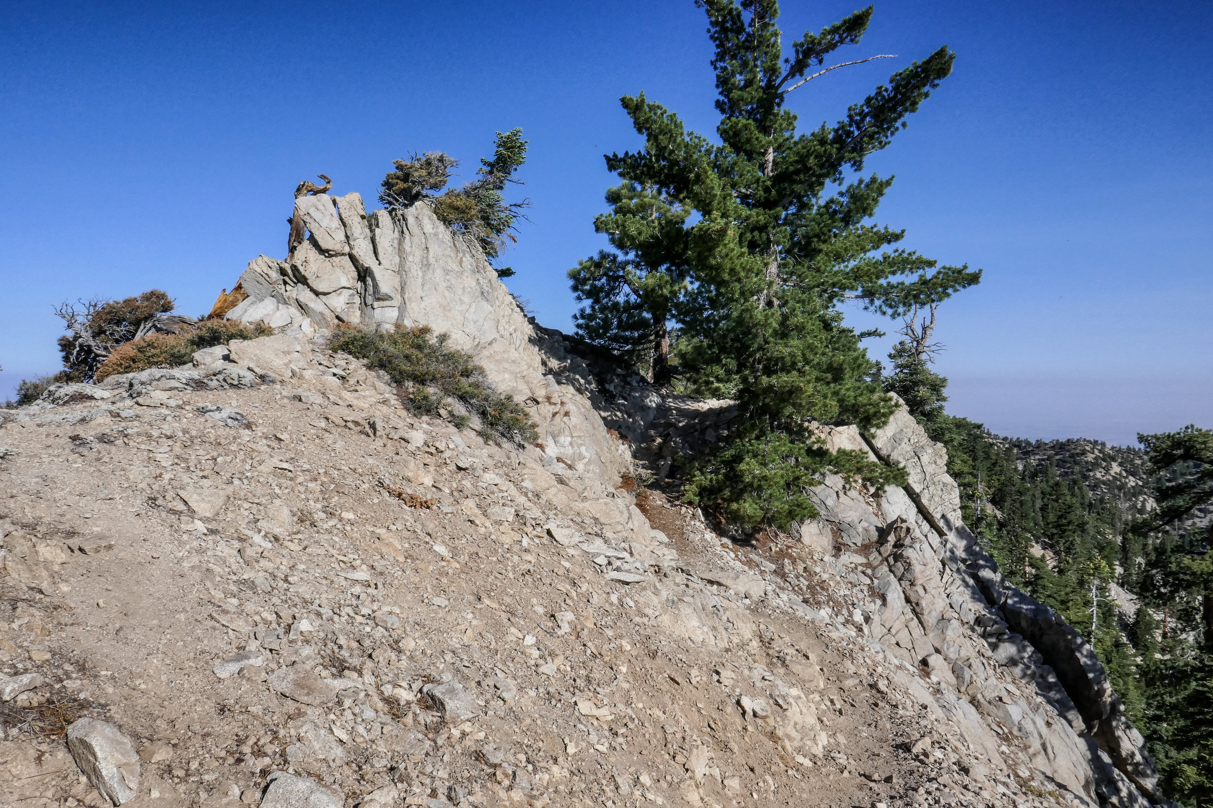
The best time for hiking during the hot summer months is EARLY! I like to be on the trail either before sunrise or shortly after so I can enjoy my time on the trail before the day heats up. This is also the time of year when I like to stick to the high country or look for higher elevation hikes which are usually a bit cooler than those at the lower altitudes. Mount Williamson was the perfect hike for today; a short 5 miles from the Islip Saddle trailhead with a little bit of an elevation gain and a fun climb. The early morning sunlight was brilliant as we headed up the trail which starts off on the PCT. It wasn’t long before views of Mount Islip opened up to the south on the opposite side of the Angeles Crest Highway. The hike to Mount Williamson is a fun one. We did this last year in September and I really enjoyed it. The climb is mostly steady until you get closer to the top where you leave the PCT and the trail to Mt. Williamson becomes quite steep and rugged. Once at the top we had wonderful 360 degree views. It was only us on the summit so we took our time, had some snacks and after orienting my map, I spread it out and secured it with some rocks so I could use it to identify some of the surrounding features of the area. Many of the surrounding peaks were visible including Mount Lewis, Mount Baden-Powell, Throop Peak, Mount Hawkins and Twin Peaks to name a few. To the north I could see all the way out to the Mojave Desert and to the southwest I had a nice view of Williamson Rock, which was once popular with rock climbers until the area was closed off to protect the mountain yellow-legged frog. It was barley 9 am and already I could feel the sun starting to heat up the day, so we headed back enjoying our time on the trail and the sweet, vanilla fragrance of the Jeffery pines along the way.

Read More

Mount Baden-Powell & Vincent's Cabin, GPS: 7.08 miles RT, 9,406' (2,907' +/-), October 15, 2017

Mount Baden-Powell & Vincent's Cabin,  GPS:  7.08 miles RT, 9,406' (2,907' +/-), October 15, 2017

This was our second time hiking up Mount Baden-Powell from Vincent Gap.  It’s a challenging 7.08 mile roundtrip hike with an elevation +/- of 2,907’ according to my GPS.  I was really excited to try this one again.  The first time we did it in July it seemed a lot harder and longer.  I also wasn’t used to being up on high mountains with precipitous drop offs.  I remember the first time I looked over the side of this one I nearly had a heart attack.  Now that we’ve gained more experience, the hike to the summit was easier, went faster (41 switchbacks and yes… I was counting them as we hiked) and I’m now able to enjoy myself at 9,406’!  I felt very accomplished!  I was able to go right up to the Wally Waldron tree, the 1,000+ year old limber pine that clings to the side of the slope, without my stomach doing flip flops.  

Aside from the steep ascent and the hard work you need to do on this trail, the journey to the peak is quite enjoyable and scenic.  There are great views the entire way and it doesn’t have many rocky or sketchy sections.  

The summit of Mount Baden-Powell can also be approached from Islip Saddle and Dawson Saddle.  It’s a much longer hike, although not as steep as the more traditional ascent from Vincent Gap.  I think I’d like to try the longer approach sometime.  

On the way down we past a couple of thru-hikers who had already come 18 miles and were just reaching the 1 mile marker up to the summit of Baden-Powell.  Both of them were carrying 45 pound packs and were on their way to Little Jimmy Camp.  We stopped and chatted with them for a while.  It’s people like that who make you humble and also inspire you.  They said they’d only been hiking now for 3 years, so maybe someday we’ll be able to do the same.  

After we got back down the mountain, it was still pretty early so we decided to hike the Mine Gulch trail to check out Vincent’s Cabin.  The cabin once belonged to Charles “Tom” Vincent who also discovered the Big Horn Mine that I described in our hike from last Sunday.  He built the cabin himself and lived in it for many years.  Some of his pots and pans and things are still there.  It’s definitely worth the quick 1.36 mile side trip to view the cabin if you have enough steam left after Baden-Powell.
 

Read More

Acorn Trail, PCT, Wright Mountain, 9.1 miles RT, 8,505', (2,227' +/-), September 3, 2017

Acorn Trail, PCT, Wright Mountain, 9.1 miles RT, 8,505', (2,227' +/-), September 3, 2017

This Sunday we left the unbearable heatwave looming over Los Angeles and headed to the higher altitude of the mountains in Wrightwood to hike the Acorn Trail and summit Wright Mountain. The Acorn Trail is a 2.1 mile trek with a 1,500’ elevation gain that leads to the junction of the PCT.  It starts off on private property at the end of Acorn Drive in Wrightwood, so you’ll need to park your car before the private property sign (there’s a turn out just before the sign that fits two cars) and hike about 3/4 miles up the steep Acorn Drive.  It’s a nice way to warm up those muscles and prep for the steady climb you’re about to take on.  Once you get to the proper trail, it climbs steeply through a shaded forest of oak and pine.  Some spots of the trail can be a bit precipitous, but no worries.  Take your time and keep on trekking.  At 2.1 miles you’ll reach a junction with the PCT.  Turn left (head east) and follow it, but keep you eyes peeled for the use trail leading up to the summit of Wright Mountain.  We missed this trail the first time because my original directions told me to hop on the Blue Ridge Truck Trail which parallels the PCT.  The truck trail does not lead to the summit, but it still has some outstanding views of Pine Mountain, Mount San Antonio and the Sheep Mountain Wilderness.  After we’d been walking for awhile with no indication that we’d be going up anytime soon, I pulled out the handy Tom Harrison map.  It showed that the truck trail would soon end, and at that point we could just hop back on the PCT and head back west to where we came from.  We were in no hurry, so we enjoyed the views and extra mileage.  On the way back, we found our destination.  Sure enough there was a use trail splitting off and leading to the summit of Wright Mountain.  This ‘trail’ (if you could call it that) is not maintained.  We had to bushwhack our way up through overgrown chaparral to get to the top which was actually a lot of fun.  This is definitely not a trail to do in shorts!  Just after we reached the top, the wind started kicking up and storm clouds started rolling in.  We took in our views and began our descent.  A light sprinkle began to fall and the forest became peaceful and still with only the sound and fragrance of fresh summer rain.  We could not have timed it any better...  Just as we got back to the car, the sky opened up and it poured!  There's nothing quite as refreshing as a good mountain rain!  It was a lovely day and as per our usual routine, we rewarded ourselves with a hearty lunch at the Grizzly Cafe in Wrightwood.
 

Read More