rugged

Griffith Park: Wisdom Tree, Burbank Peak, 1.7 Miles RT, 761' +/-, 1,690' Max Elevation, March 18, 2019

Griffith Park:  Wisdom Tree, Burbank Peak, 1.7 Miles RT, 761' +/-, 1,690' Max Elevation, March 18, 2019

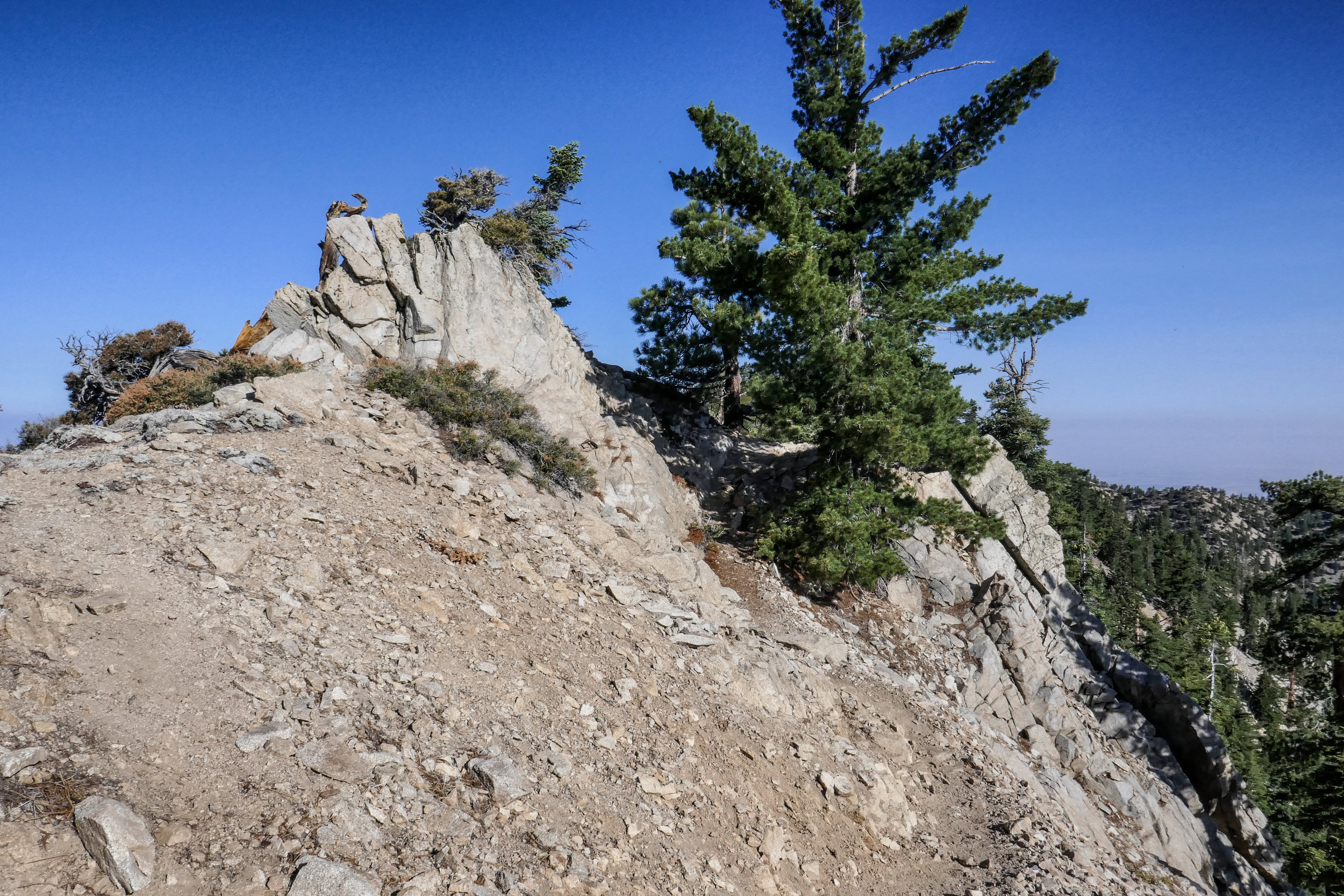
Since I began hiking in Los Angeles, I’d always seen photos of the Wisdom Tree. But since I’d never really been interested in city hiking until now, I never considered hiking up to see him for myself. He’s kind of a celebrity to Los Angeles city hikers. There’s a huge trunk that sits underneath the tree where hikers can leave their “Wisdom Tree Wishes” in the hopes they’ll be granted. This tree is the only tree that survived the 2007 Hollywood Hills fire. Now that our days are getting longer, there’s more time for hiking on weekdays after work. We decided to make the short climb up Burbank Peak where the famous Wisdom Tree is located. This is a very popular trail and there was a consistent flow of all kinds people going up and down the entire time. In front of us, a girl who was wearing only chucks and hiking with a handbag was slipping and sliding on the rocky trail trying to make her way up. She finally realized that this may not be the best idea and asked my advice on whether or not she should continue. I politely let her know it would probably be better to come back another day with a pair of hiking boots. She took my advice and turned around. I felt relieved she did so that she wouldn’t twist an ankle. The climb up was a lot of fun. It was a warm day and I worked up a decent sweat. As we made our way to the top, I saw a few people trying to come down on the rocks wearing sandals. Yikes. In just a short time we reached the top and the Wisdom Tree came into view. I walked up to him, made my introduction and then explored all around the summit taking in the 360 degree views of Burbank, Griffith Park, DTLA, Warner Bros. Studios, Universal Studios and the surrounding mountain ranges. To the east, there was a trail to continue on to Cahuenga Peak and Mt. Lee. We’ll try that one another day. After taking it all in, we carefully began our descent down the rocky trail. Now when I look up at the Wisdom Tree which I can see from the studio where I work, I can finally say that I have met him in person.

Read More

Mt Lowe, 3 miles RT, 5,604' Max Elevation, 548' +/-, September 30, 2018

Mt Lowe, 3 miles RT, 5,604' Max Elevation, 548' +/-, September 30, 2018

My husband and I did a sunset hike on Mt. Lowe this past Sunday. We drove up to Eaton Saddle, followed the Mt. Lowe Fire Road through the Mueller Tunnel to Markham Saddle and then picked up the trail to the Mt. Lowe summit. I really like this area a lot. There’s never very many people and you get some great views of the rugged San Gabriels. The hike to the summit is a short one, but it was perfect for a day when we didn’t have time to do a long hike. The views are pretty great too. As the sun began to sink behind the Santa Monica Mountains to the west, we started to make our way back down the mountain. We reached Markham Saddle just 10 minutes before the sunset then stopped to enjoy the show as the light faded from orange, to pink and finally inky black. It was a little spooky coming back through the Mueller Tunnel in the dark, but the city below us lit up in a romantic, sparkling glow of lights. It was a great way to wrap up the weekend!

Read More

Mount Williamson 8,214', 5 miles RT, 1,552 +/-, July 29, 2018

Mount Williamson 8,214', 5 miles RT, 1,552 +/-, July 29, 2018

The best time for hiking during the hot summer months is EARLY! I like to be on the trail either before sunrise or shortly after so I can enjoy my time on the trail before the day heats up. This is also the time of year when I like to stick to the high country or look for higher elevation hikes which are usually a bit cooler than those at the lower altitudes. Mount Williamson was the perfect hike for today; a short 5 miles from the Islip Saddle trailhead with a little bit of an elevation gain and a fun climb. The early morning sunlight was brilliant as we headed up the trail which starts off on the PCT. It wasn’t long before views of Mount Islip opened up to the south on the opposite side of the Angeles Crest Highway. The hike to Mount Williamson is a fun one. We did this last year in September and I really enjoyed it. The climb is mostly steady until you get closer to the top where you leave the PCT and the trail to Mt. Williamson becomes quite steep and rugged. Once at the top we had wonderful 360 degree views. It was only us on the summit so we took our time, had some snacks and after orienting my map, I spread it out and secured it with some rocks so I could use it to identify some of the surrounding features of the area. Many of the surrounding peaks were visible including Mount Lewis, Mount Baden-Powell, Throop Peak, Mount Hawkins and Twin Peaks to name a few. To the north I could see all the way out to the Mojave Desert and to the southwest I had a nice view of Williamson Rock, which was once popular with rock climbers until the area was closed off to protect the mountain yellow-legged frog. It was barley 9 am and already I could feel the sun starting to heat up the day, so we headed back enjoying our time on the trail and the sweet, vanilla fragrance of the Jeffery pines along the way.

Read More