The trek from Onion Valley to the top of Kearsarge Pass was a spectacular day hike! The Kearsarge Pass Trail heads west from the trailhead at Onion Valley entering the John Muir Wilderness at approximately .7 miles. On this 11 mile round trip journey, we passed through foxtail pine forests, crossed over boulder fields, hiked alongside waterfalls and aquamarine colored lakes filled with golden trout. A final rigorous high altitude ascent up a barren, rocky slope lead us to Kearsarge Pass where the trail crests the Sierra at an altitude of 11,835 breathtaking feet! We were rewarded with the most sublime views I have ever seen; the glaciated Sierra peaks, sparkling turquoise pools of water and views into Kings Canyon National Park. Here are some photos with captions below each to describe our incredible journey.

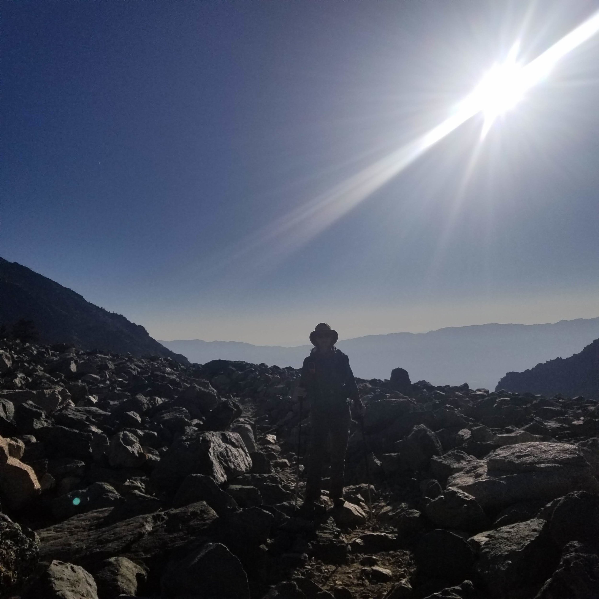
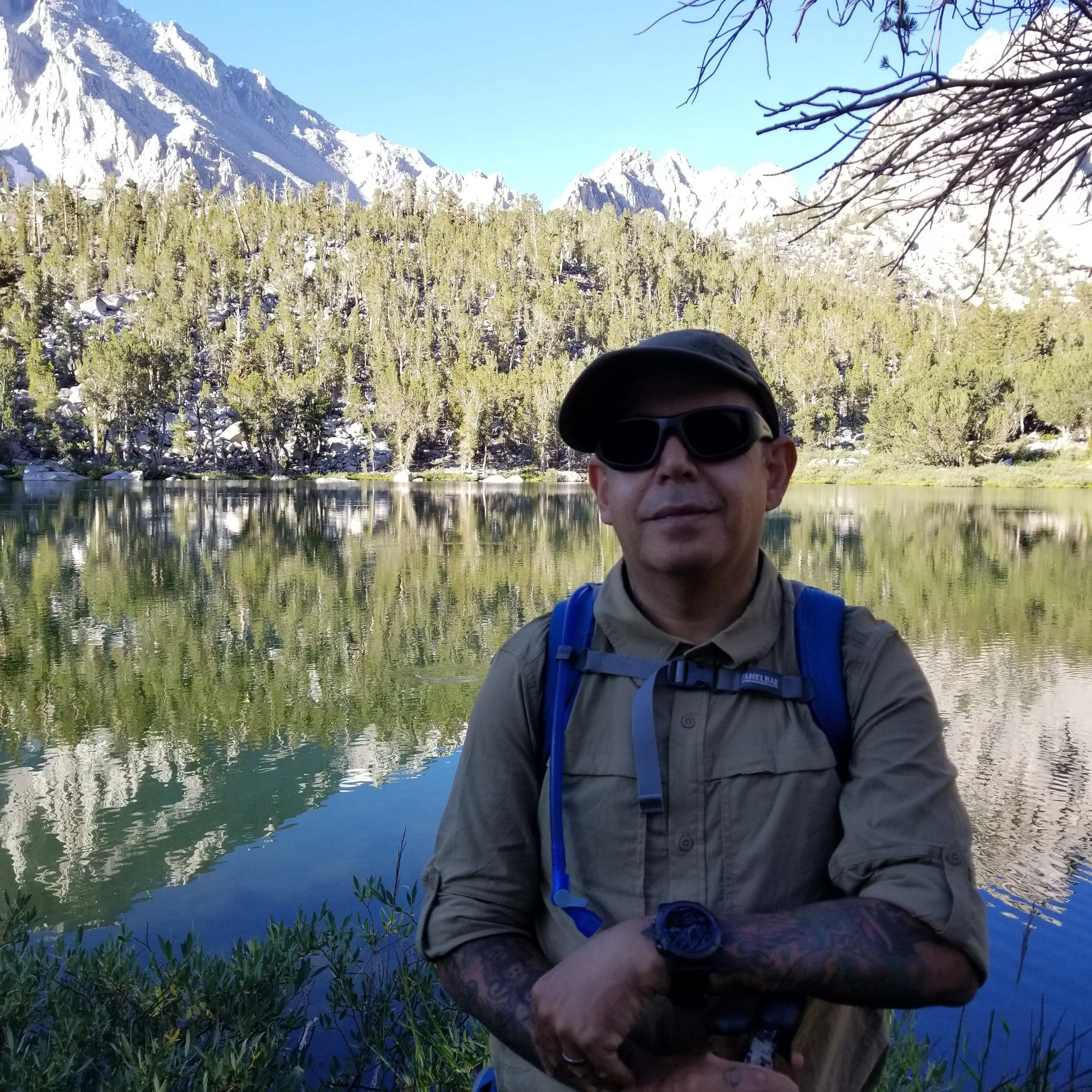
We get to the trail head at Onion Valley, gear up and start hiking at approximately 6:30 am.

Signage at the trailhead.

The light in the Eastern Sierra turns from cool blue, to salmon pink to pumpkin orange.


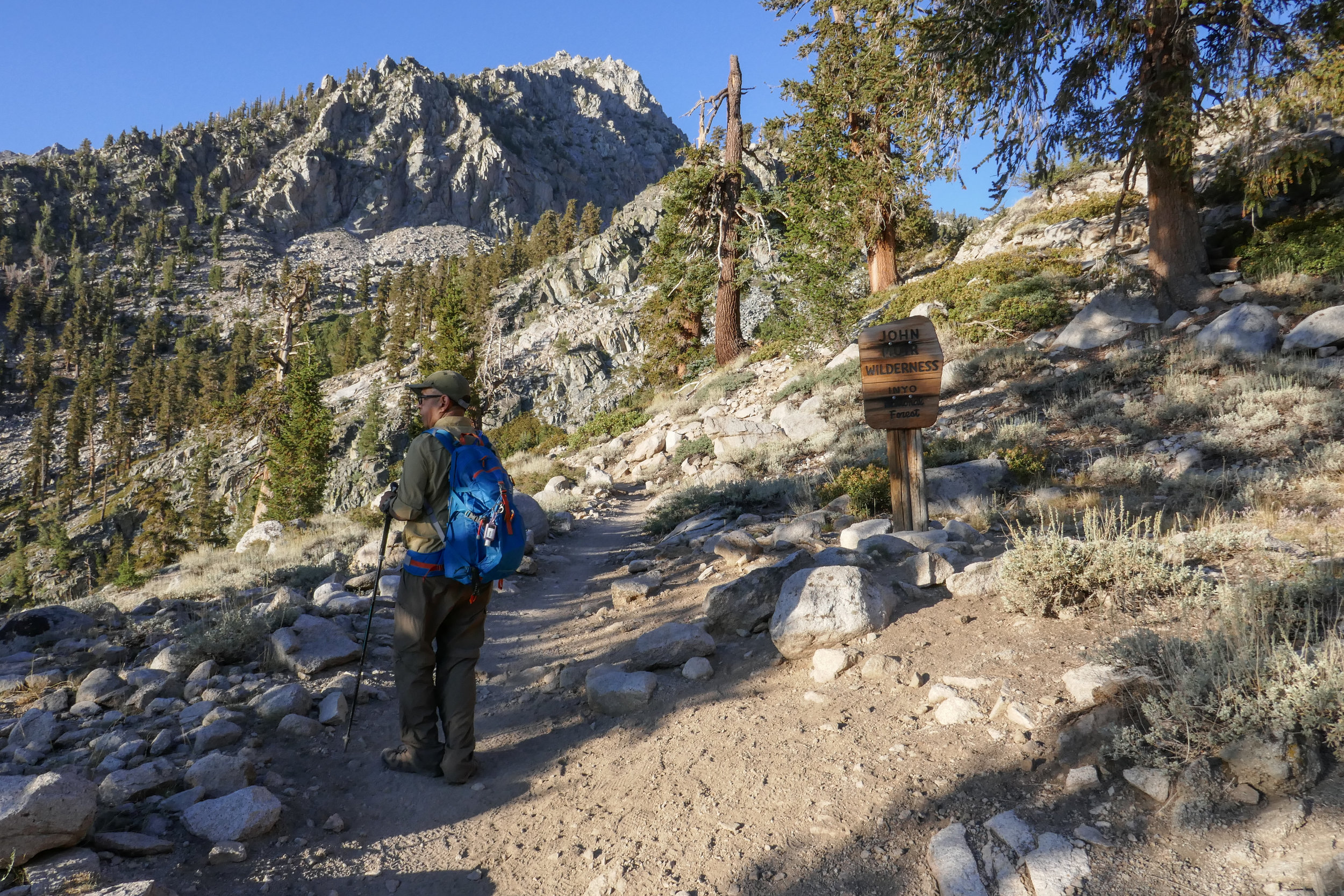
At .7 miles we enter the John Muir Wilderness.

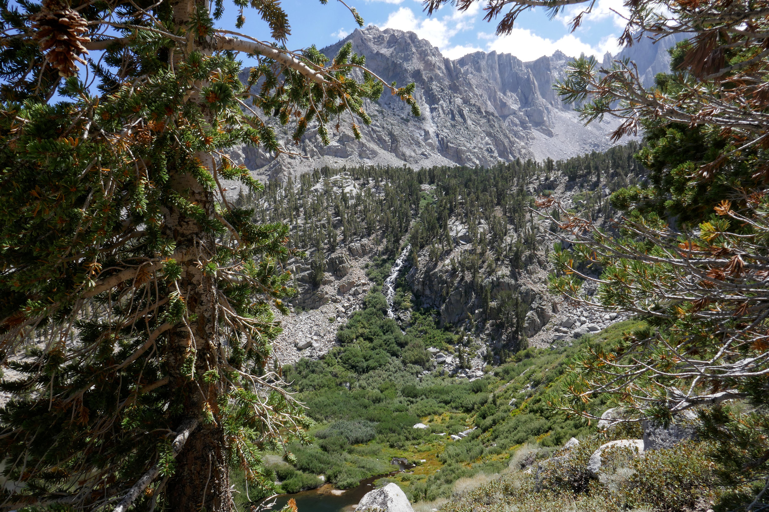
We see several waterfalls along the way as we hike beside Independence Creek.

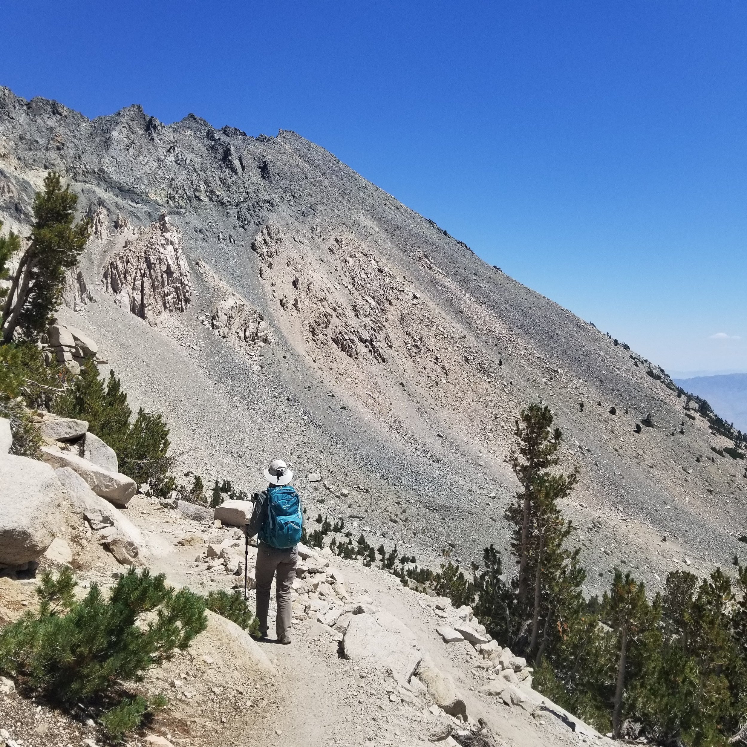
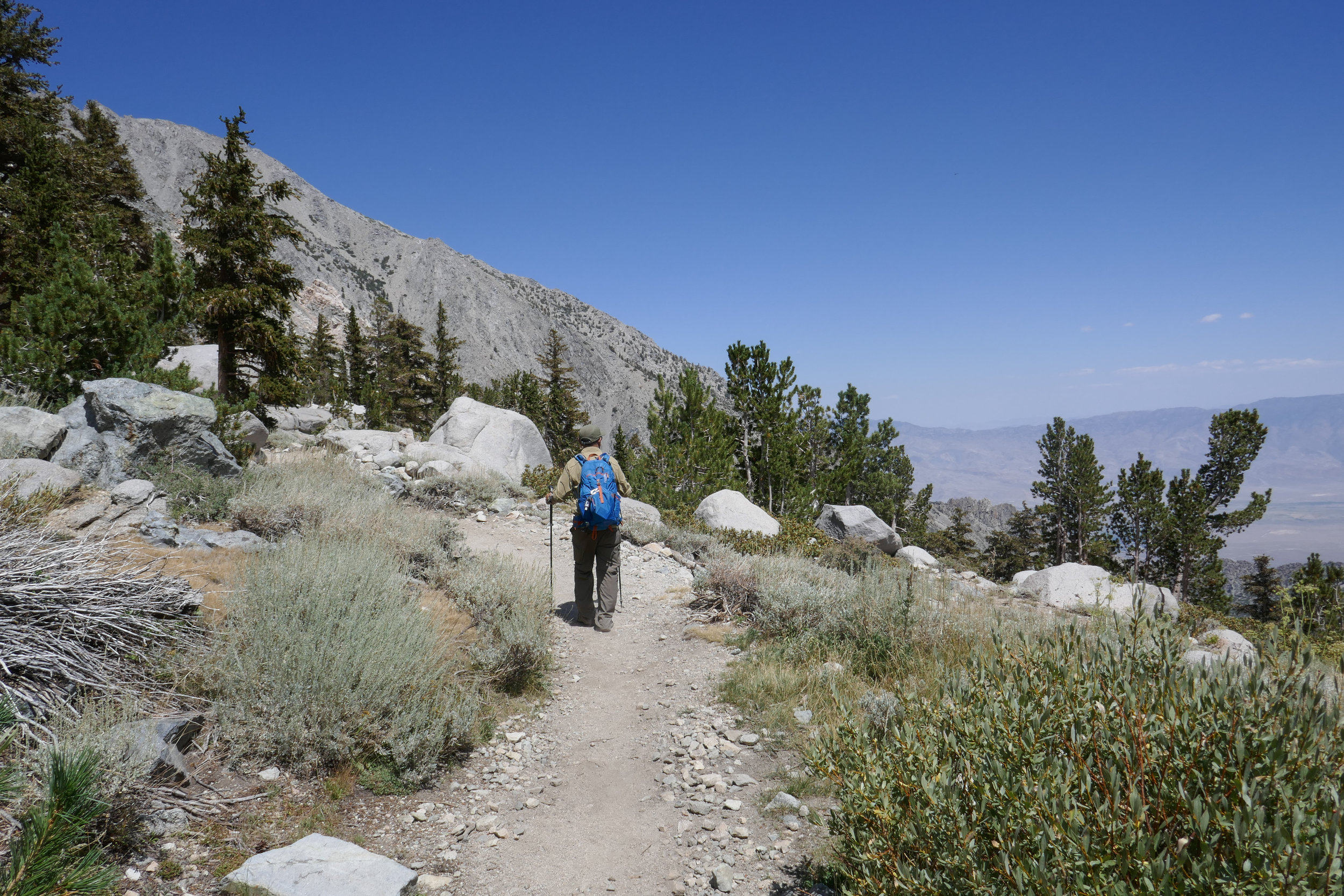
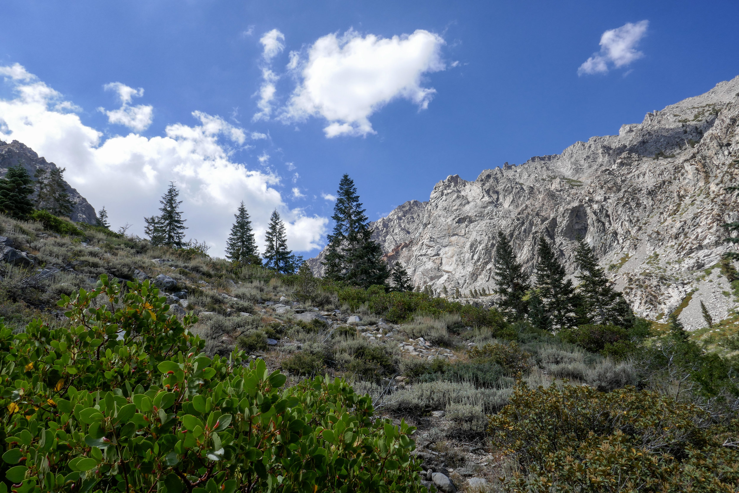
The trail ascends steadily, but moderately.

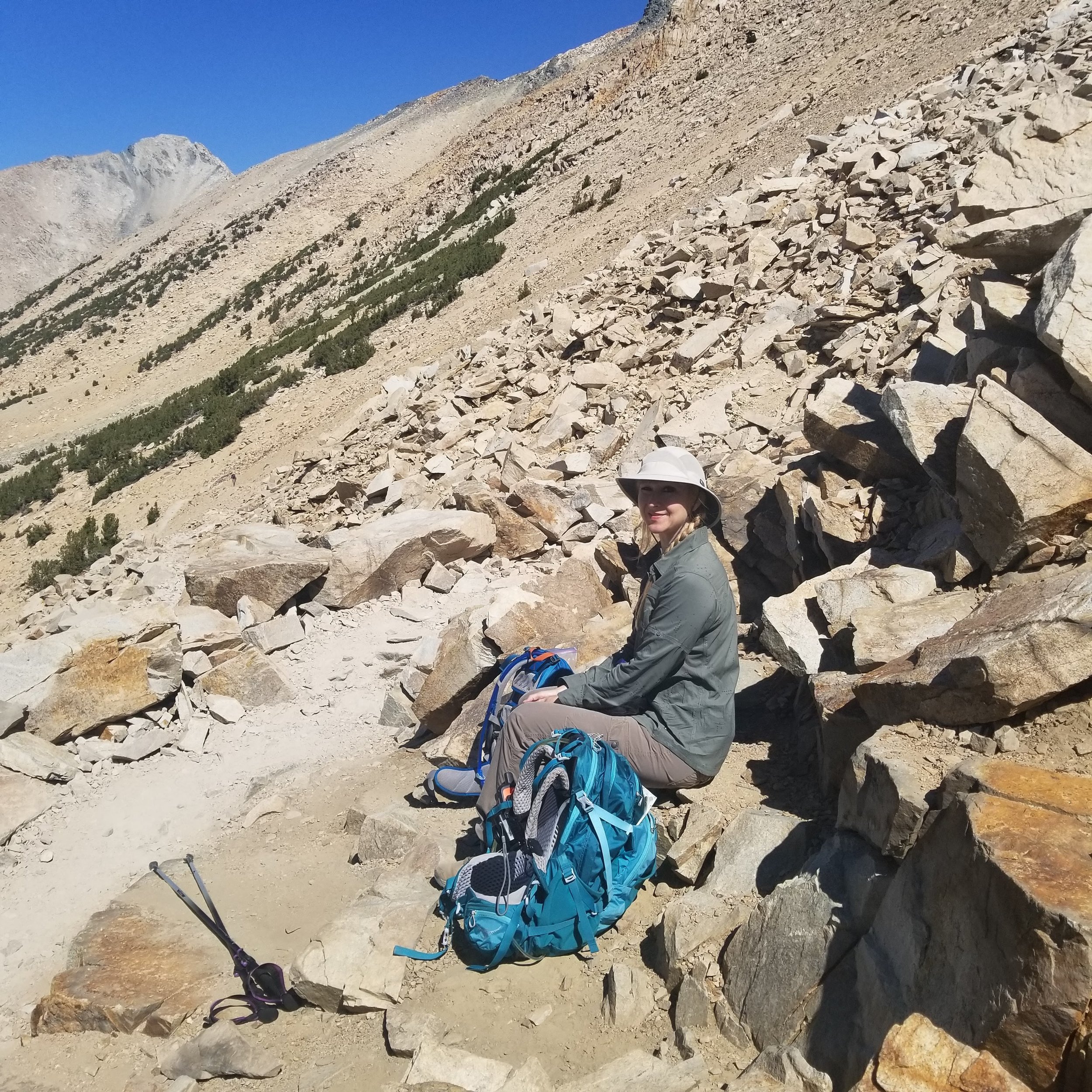
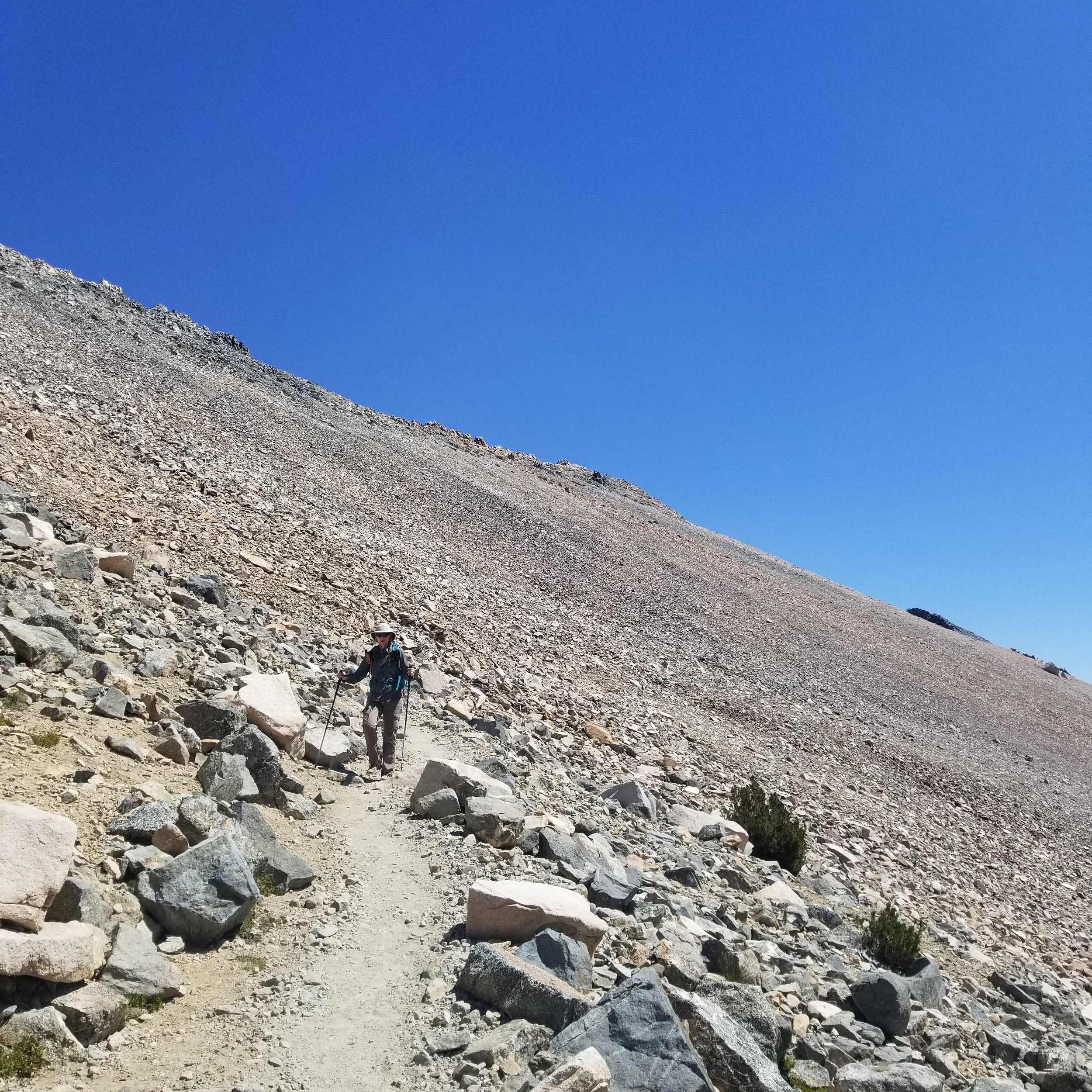
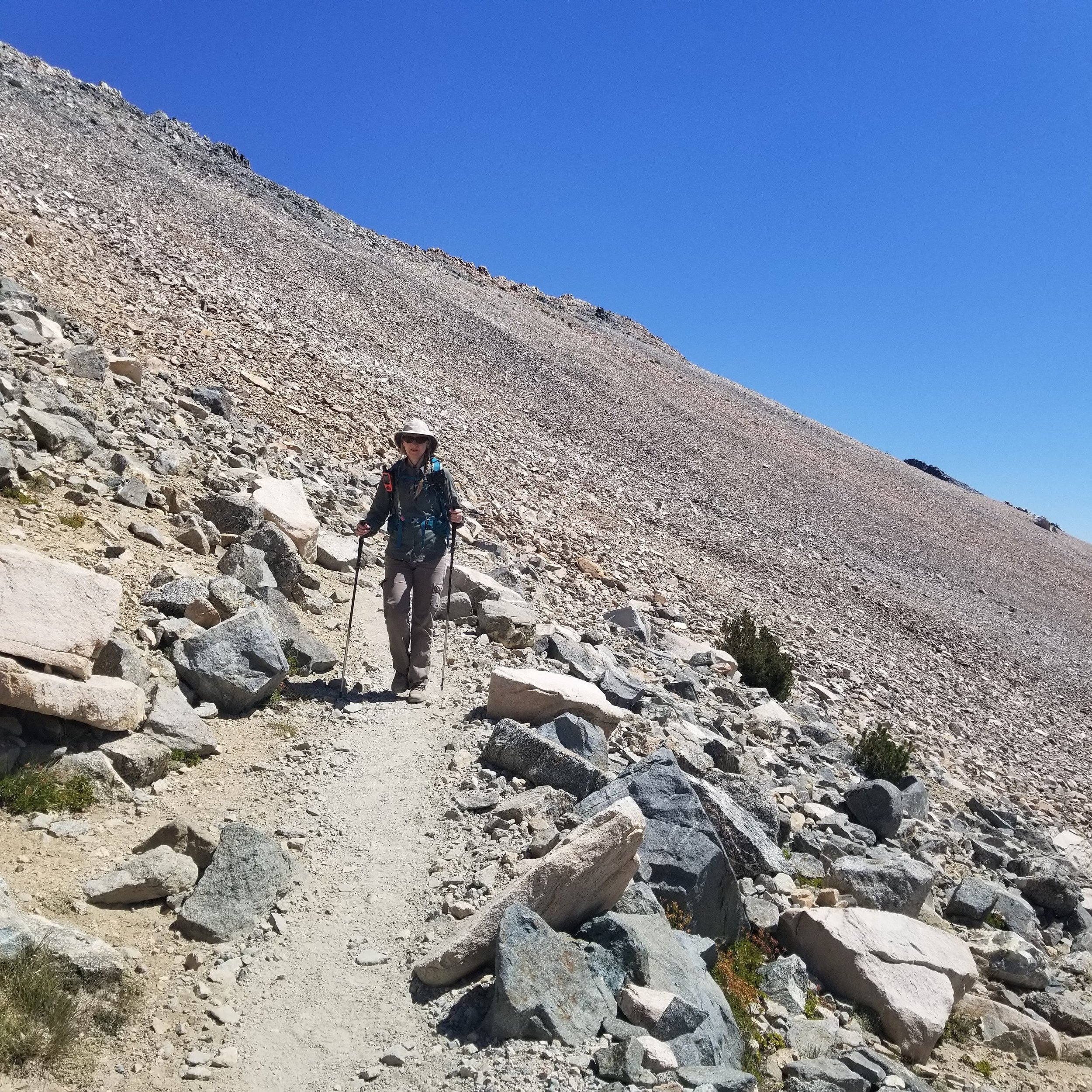
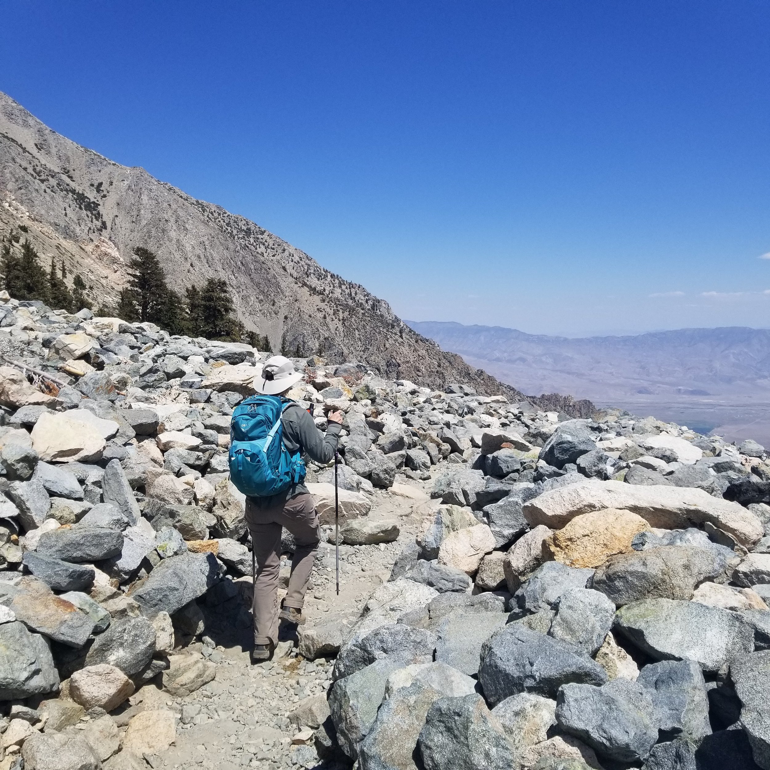
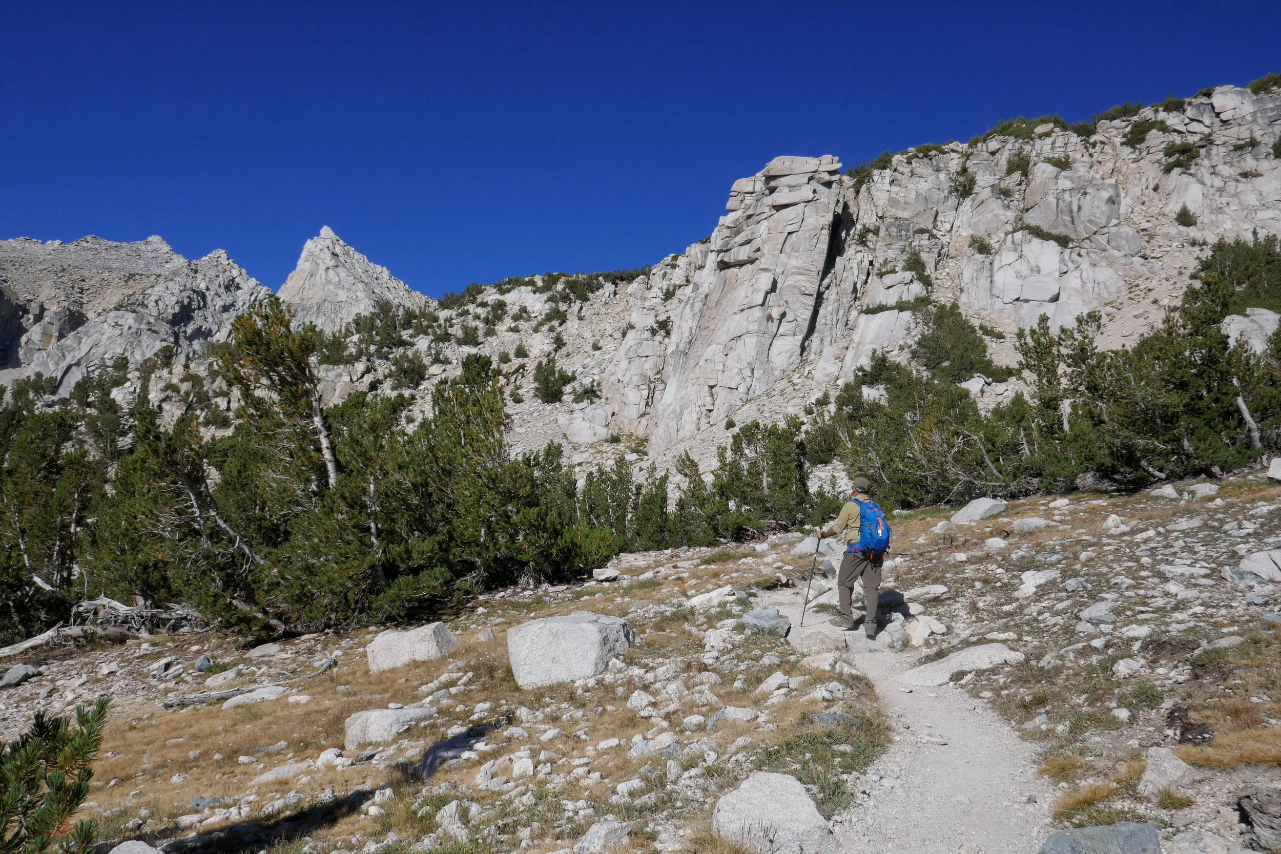
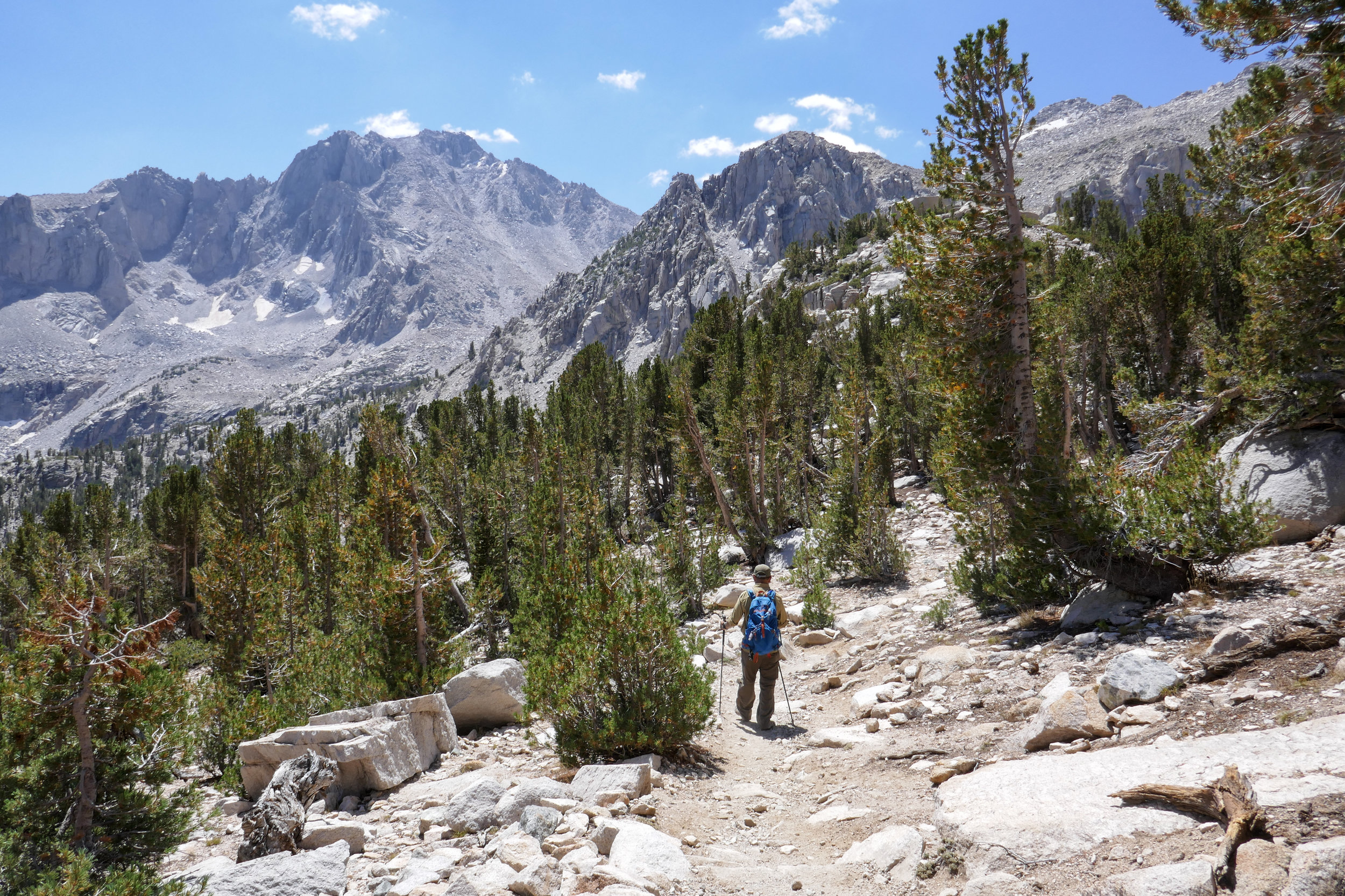
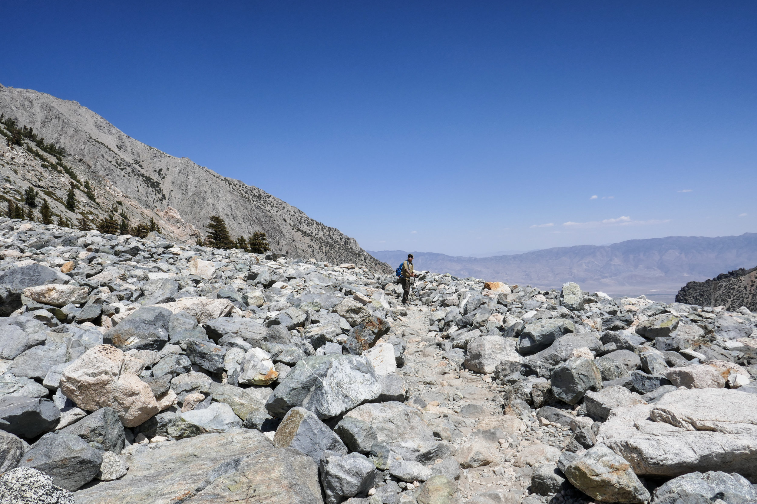
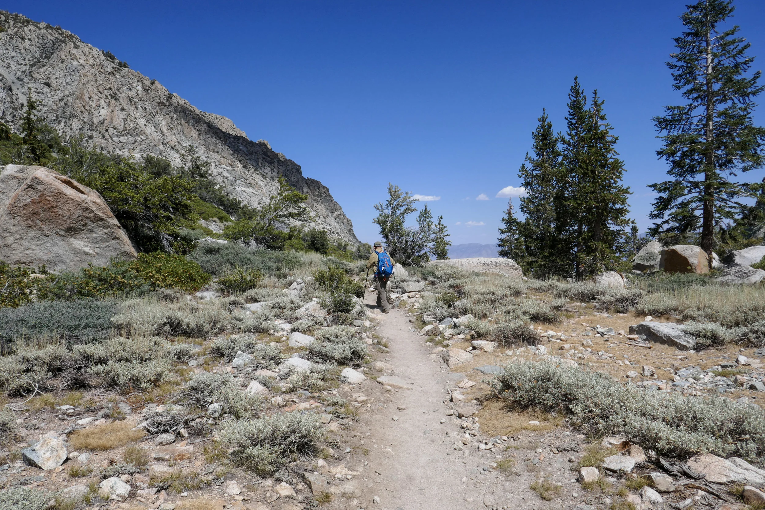
Crossing over a boulder field.


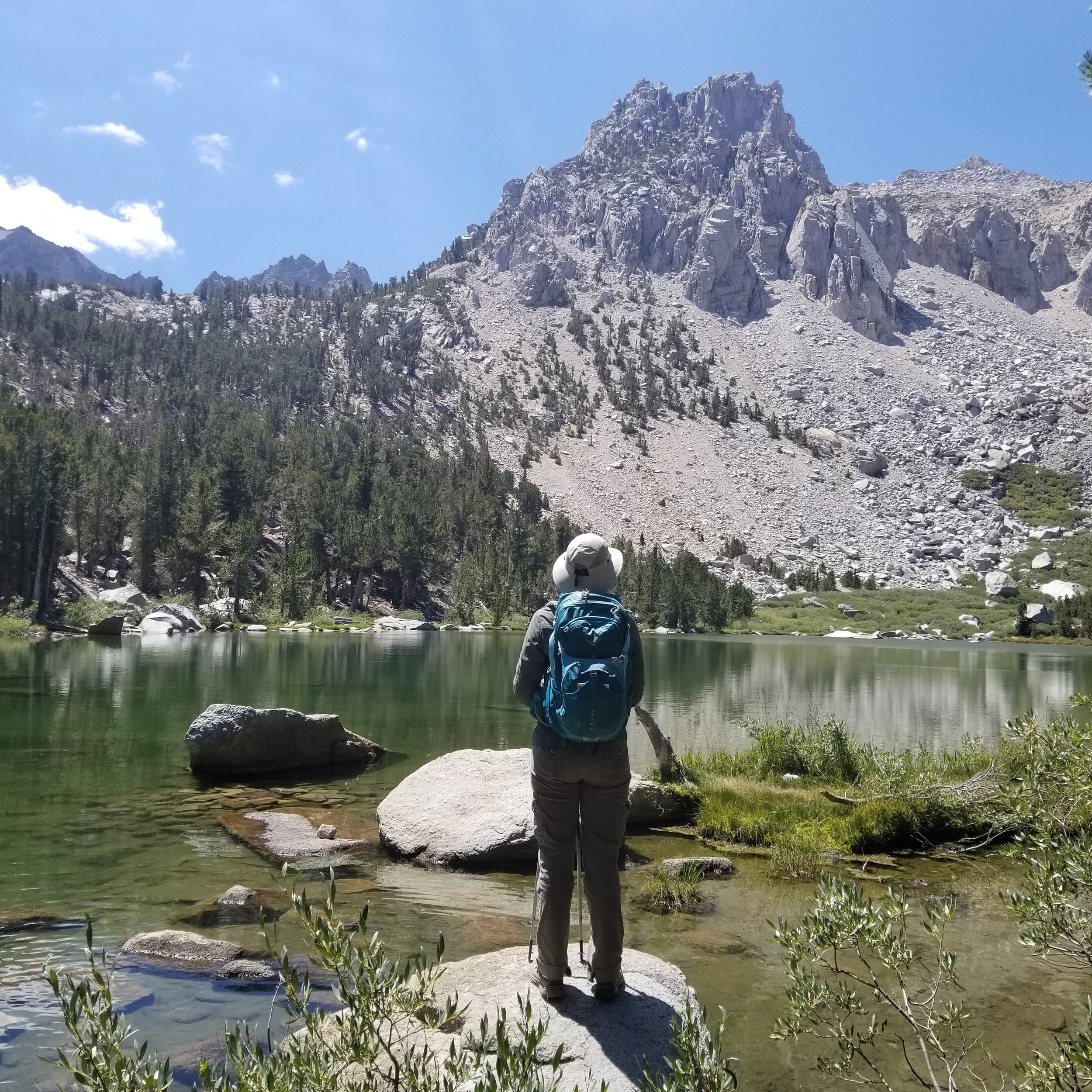
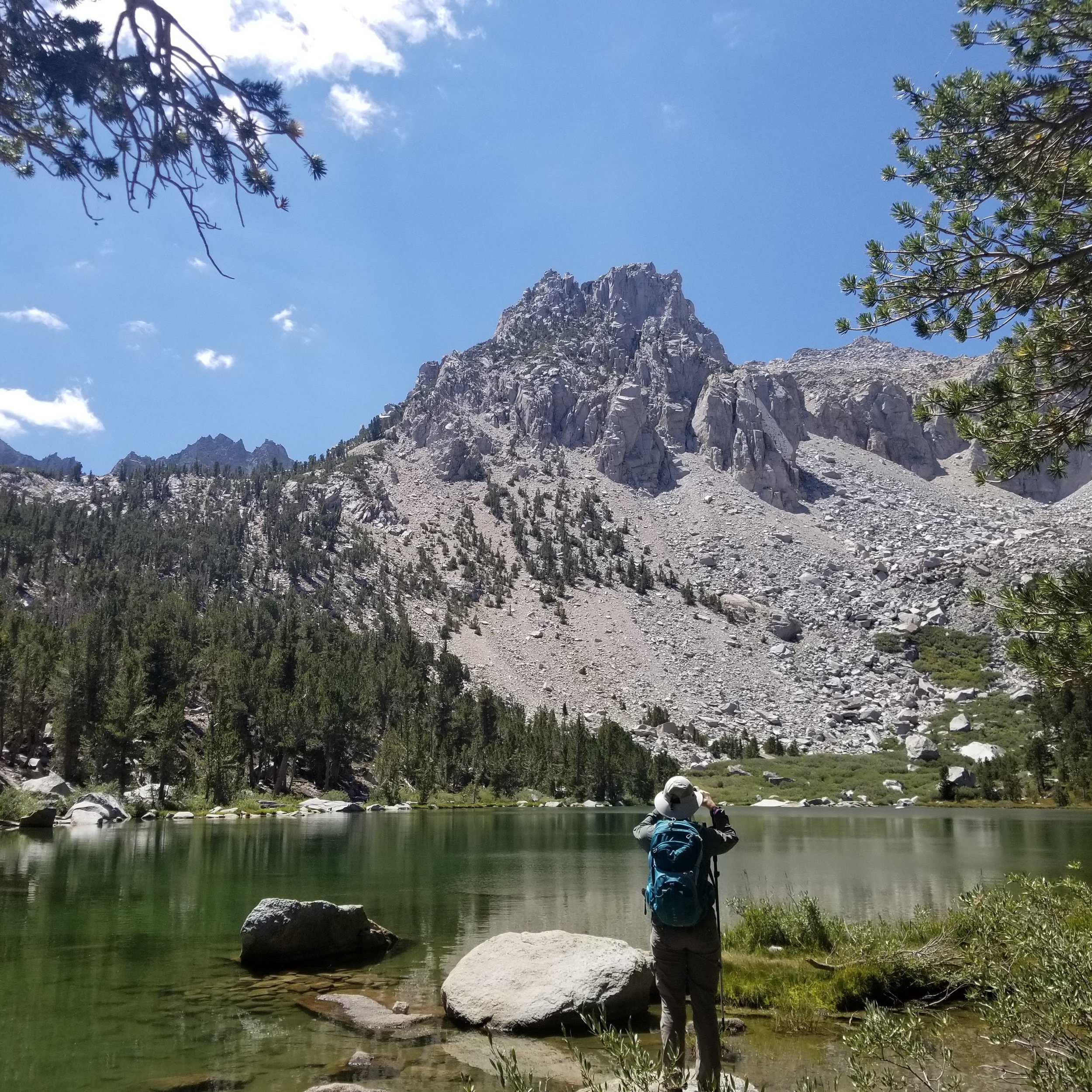
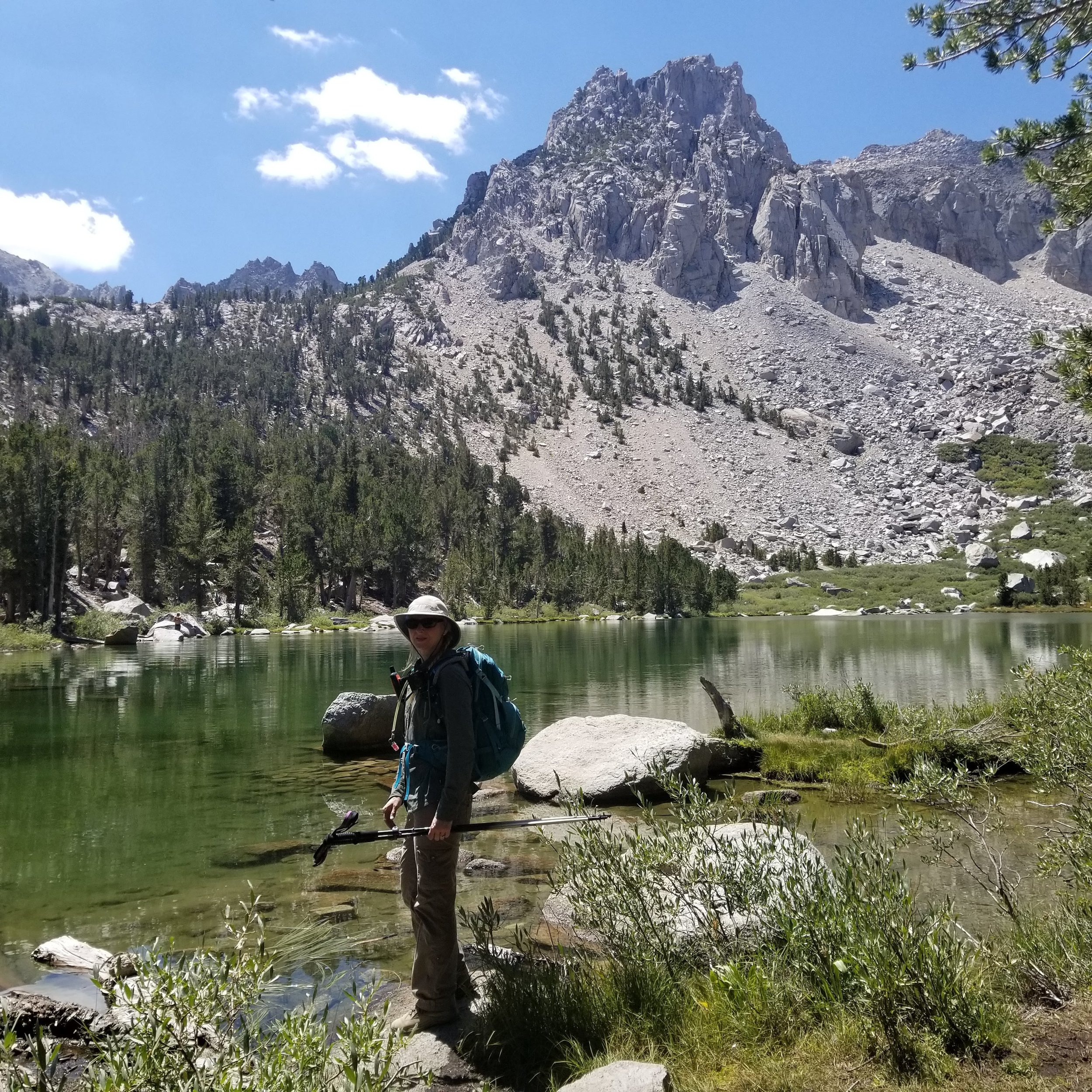
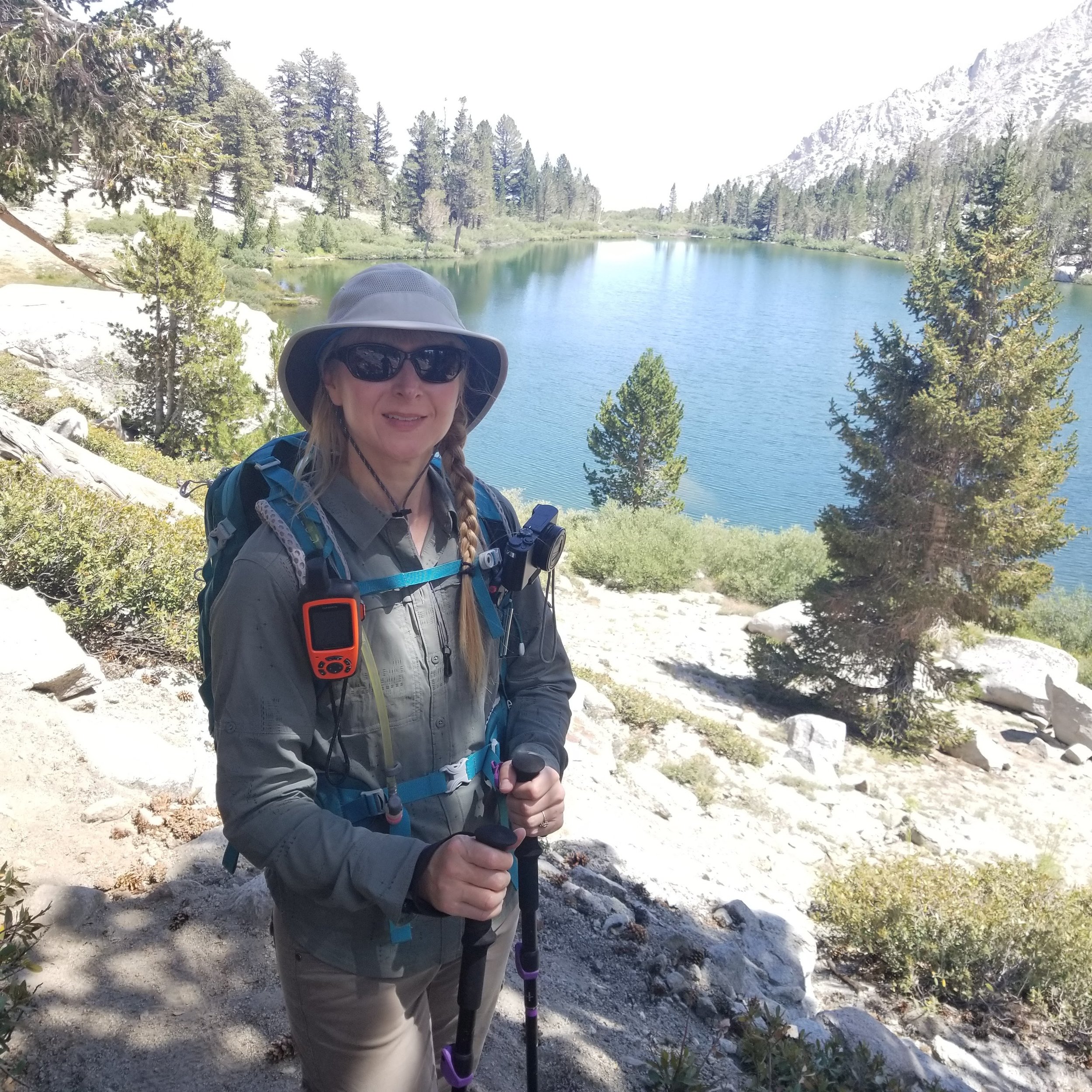
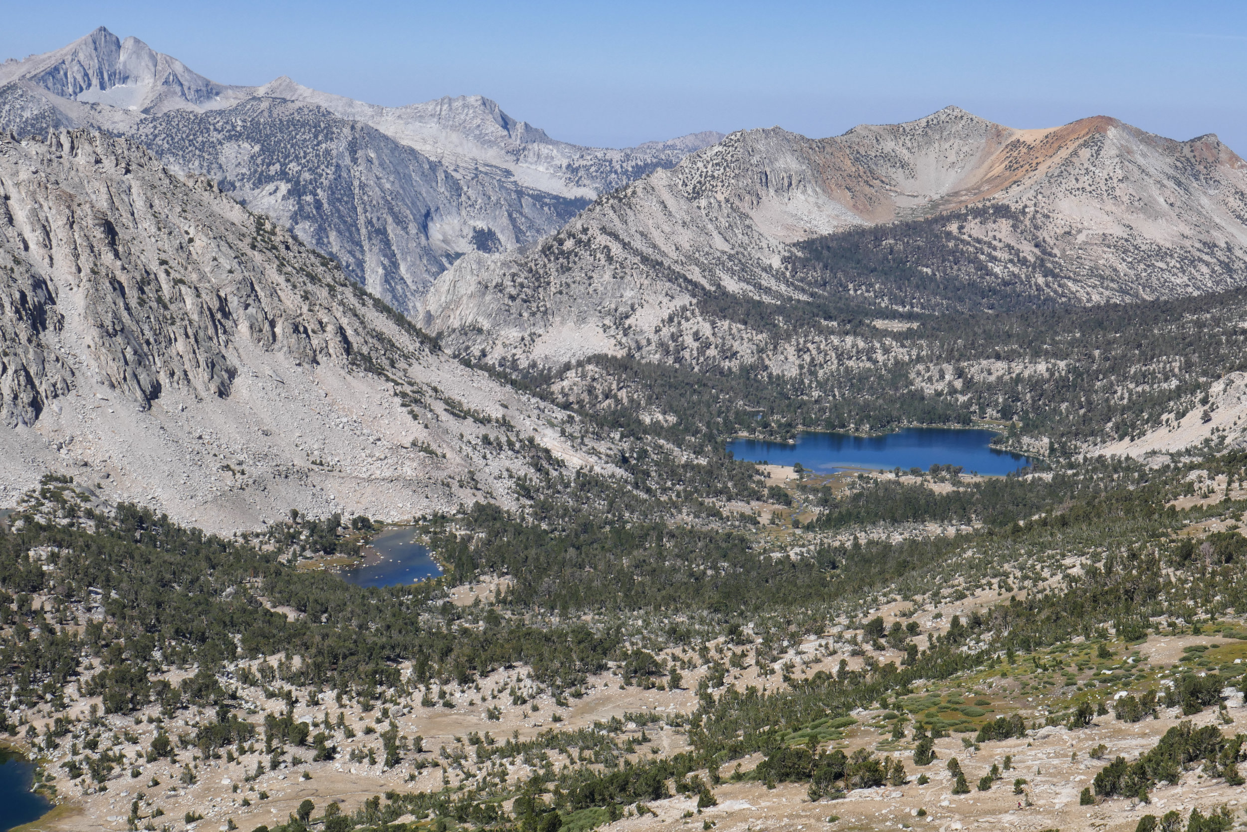
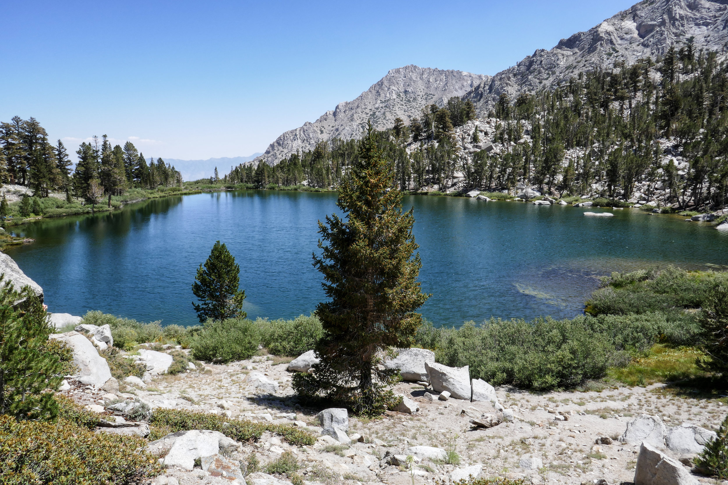
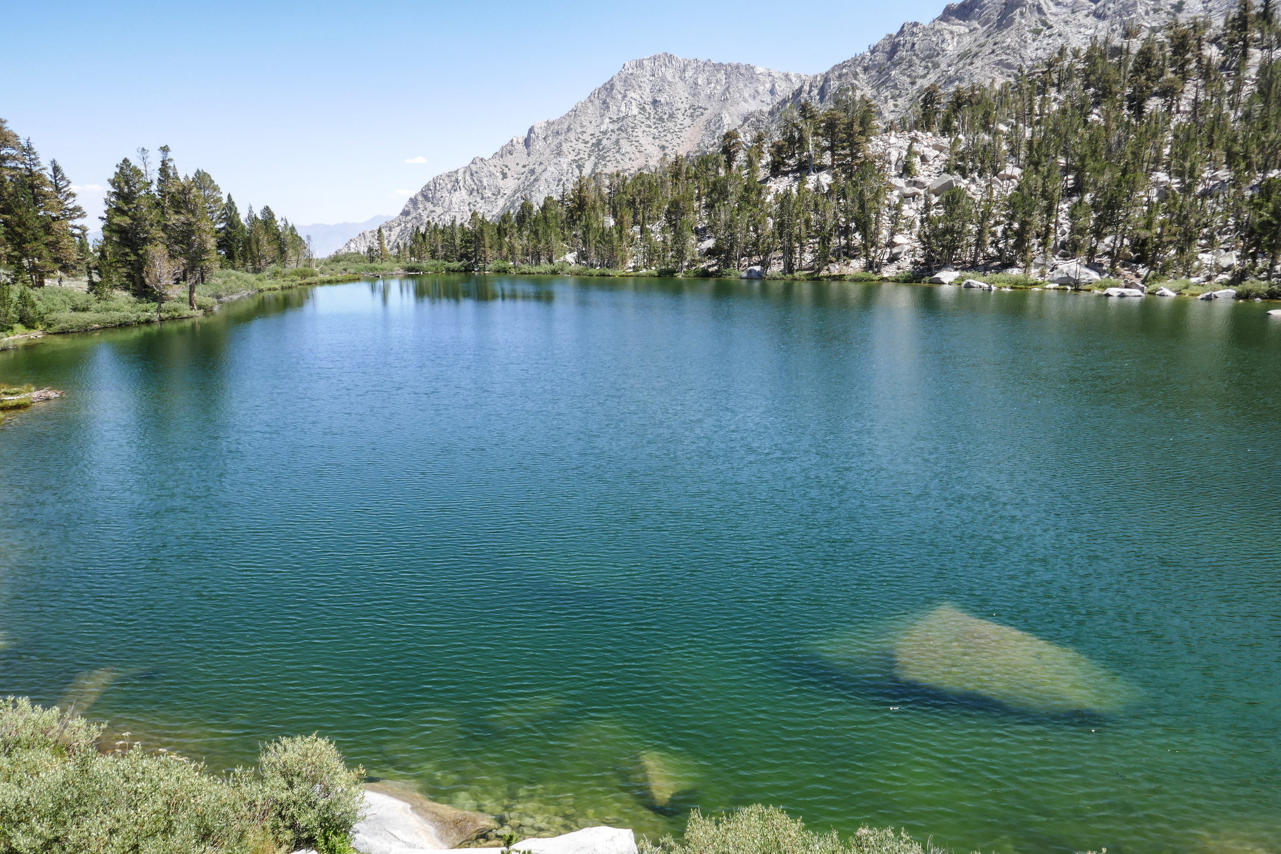
At 2.3 miles, we arrive at Gilbert Lake. University Peak towering above us. We stop for a quick moment at the shore and watch the trout jumping out of the water to feed.

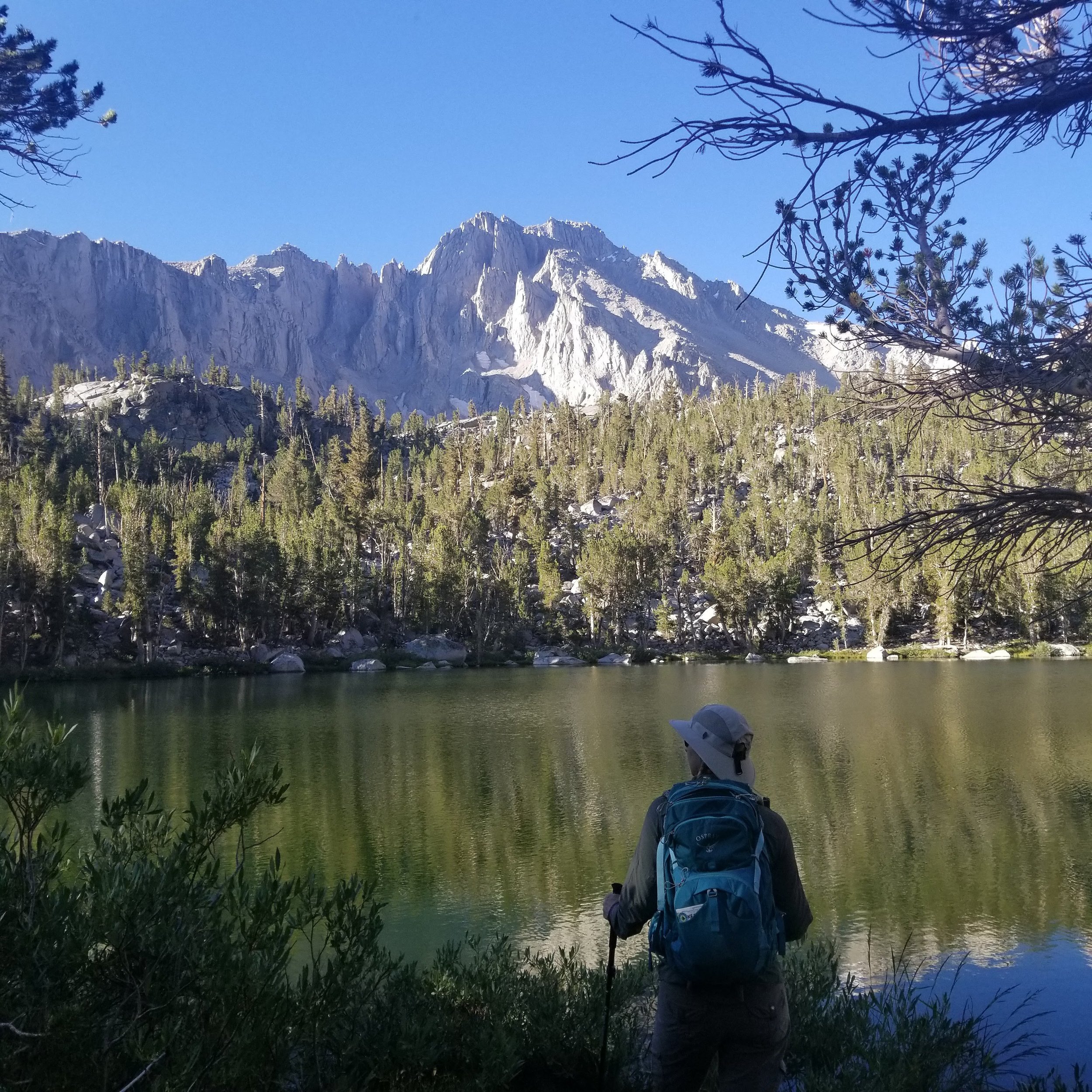
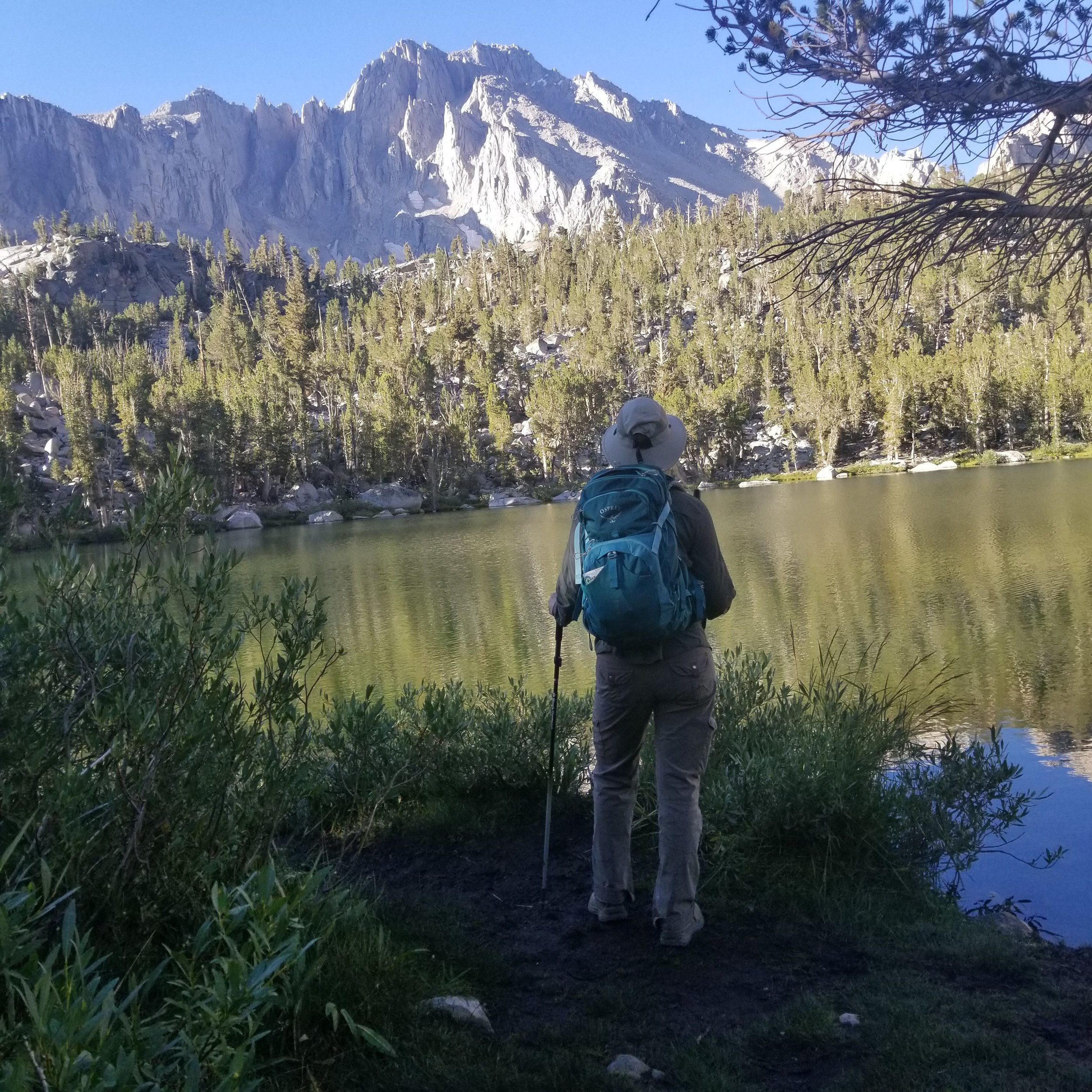
The next lake we come upon is Flower Lake. The sunlight glistens on the water.

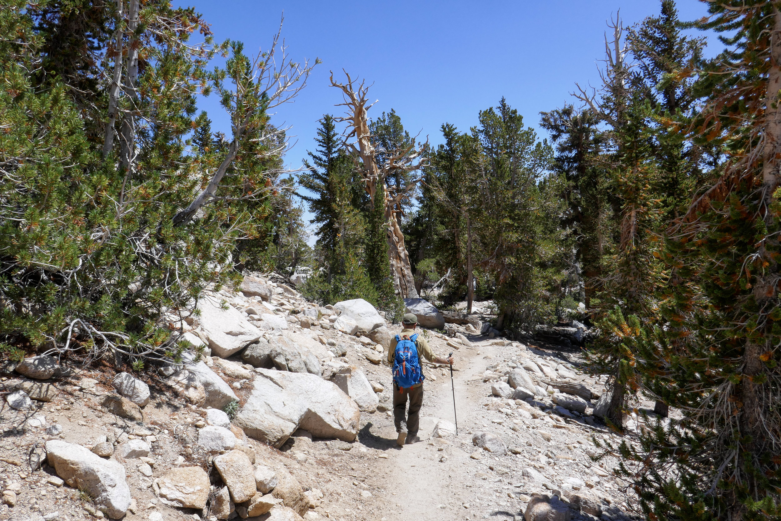
Continuing the climb through a pine forest.
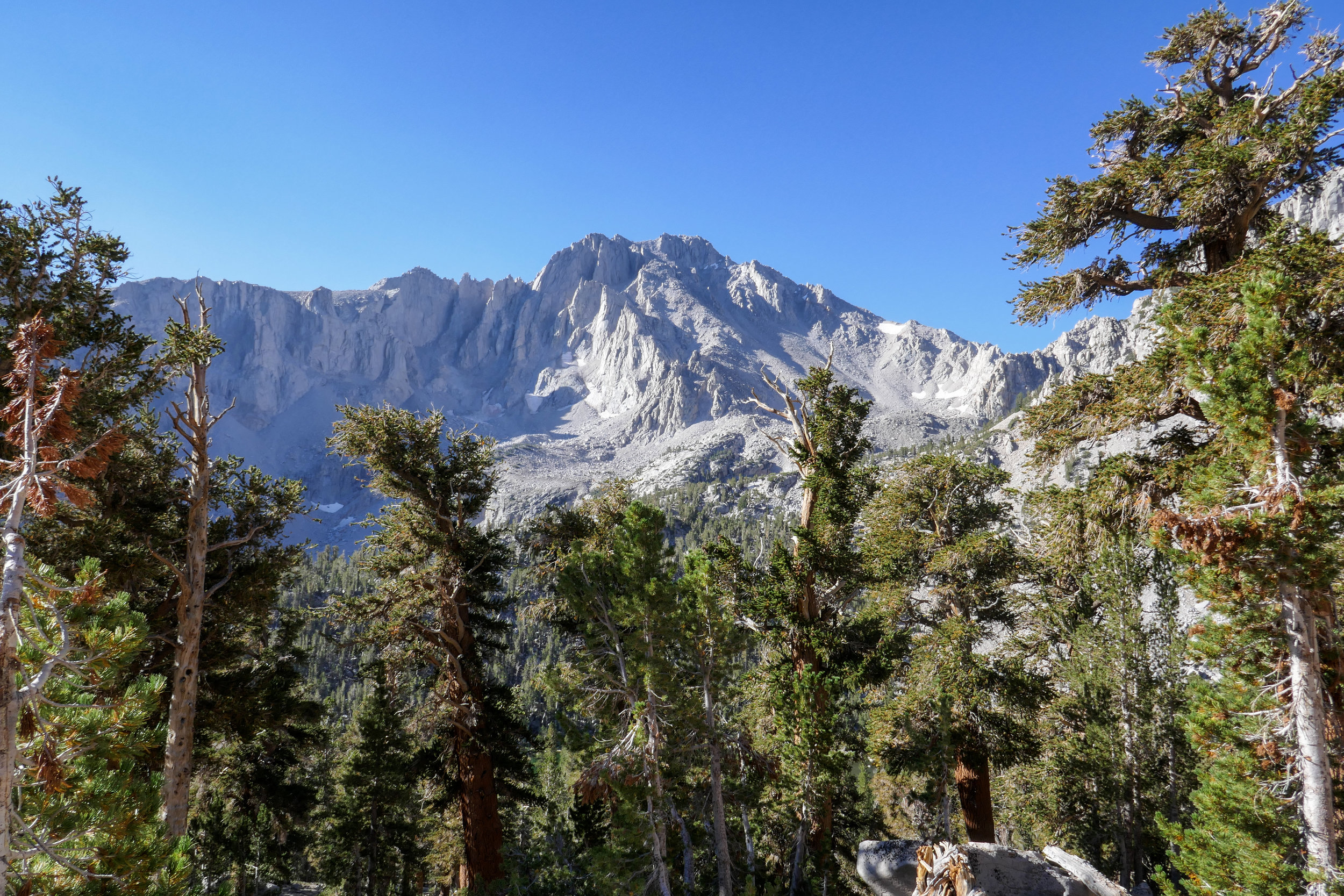
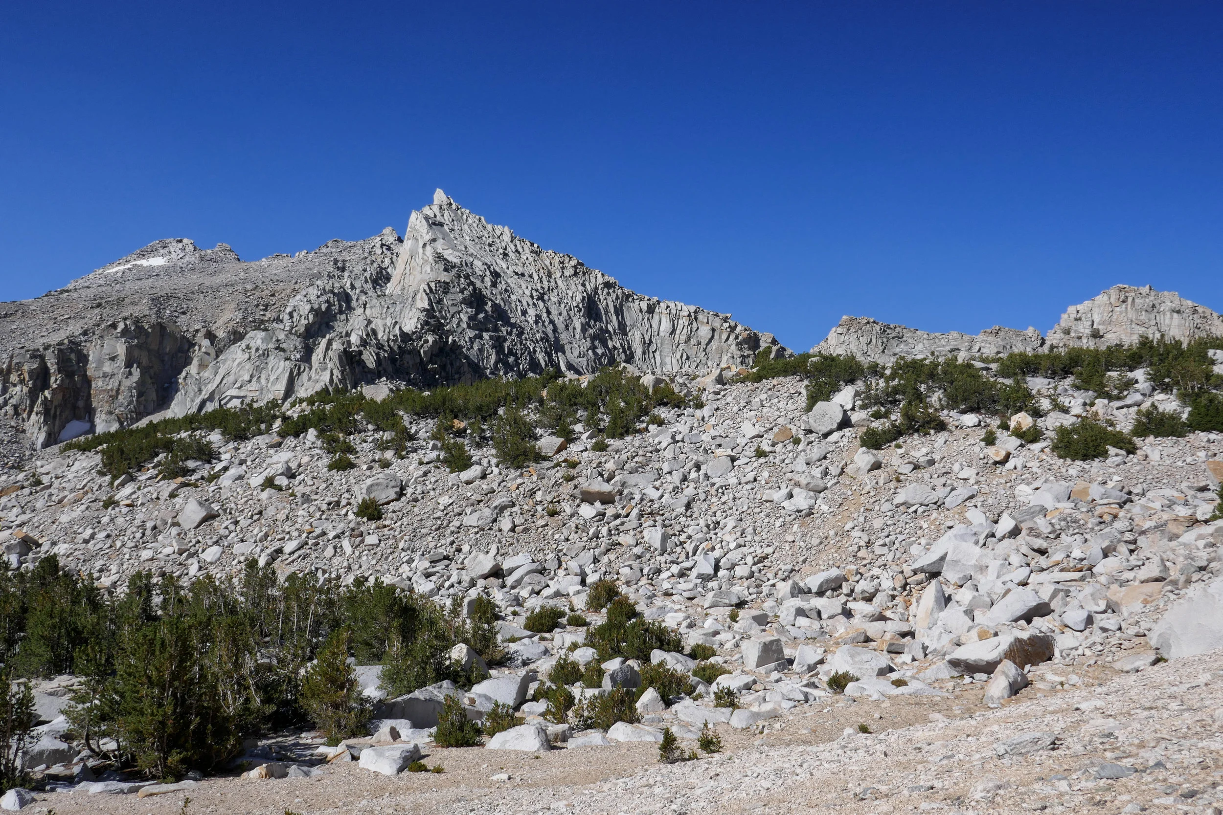
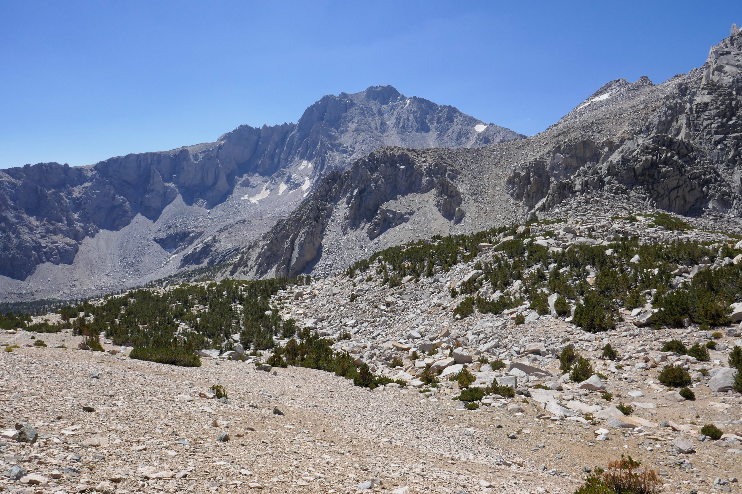
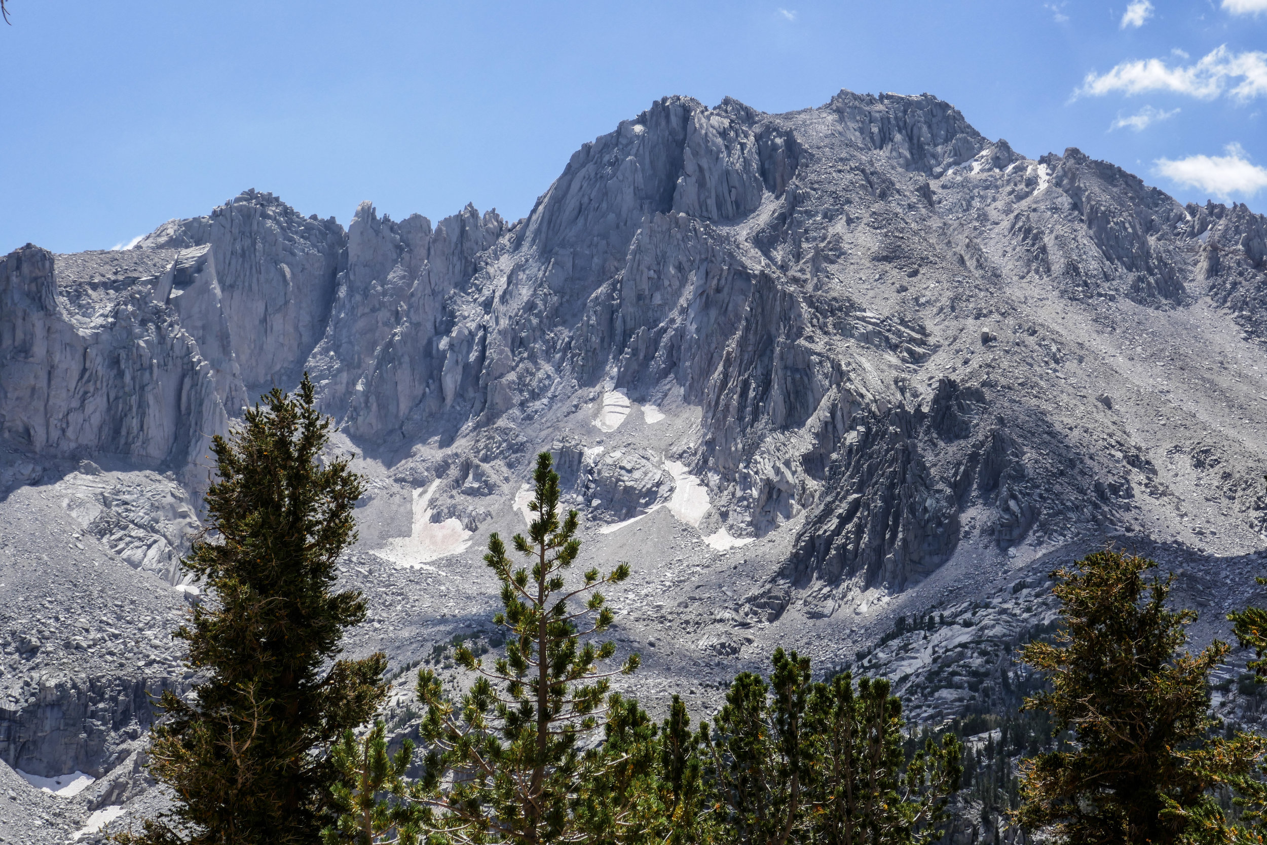
A closer look at University Peak, 13,632'.

A Blue Grouse crosses our path in the distance. I zoom in to take a photo of it as it walks away taking no interest in our presence.
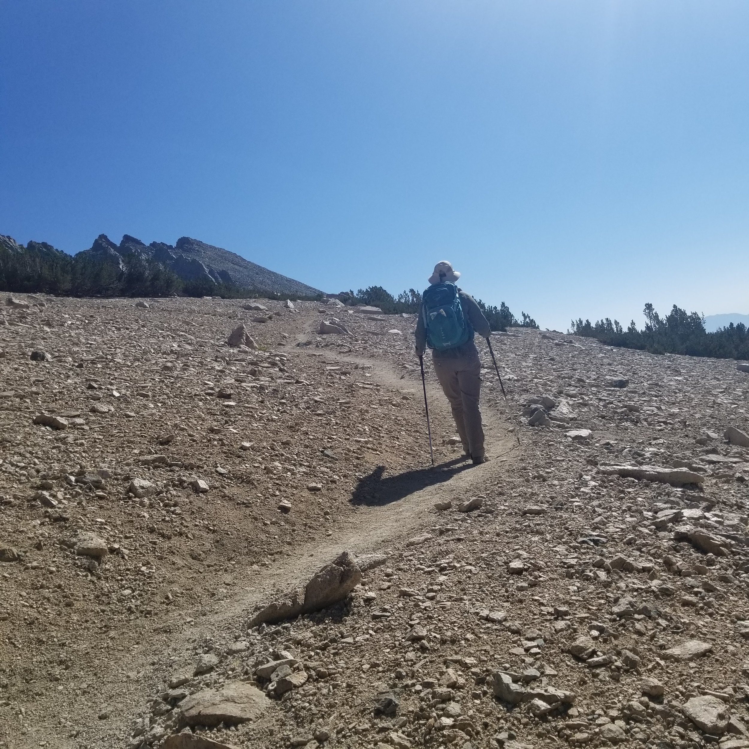
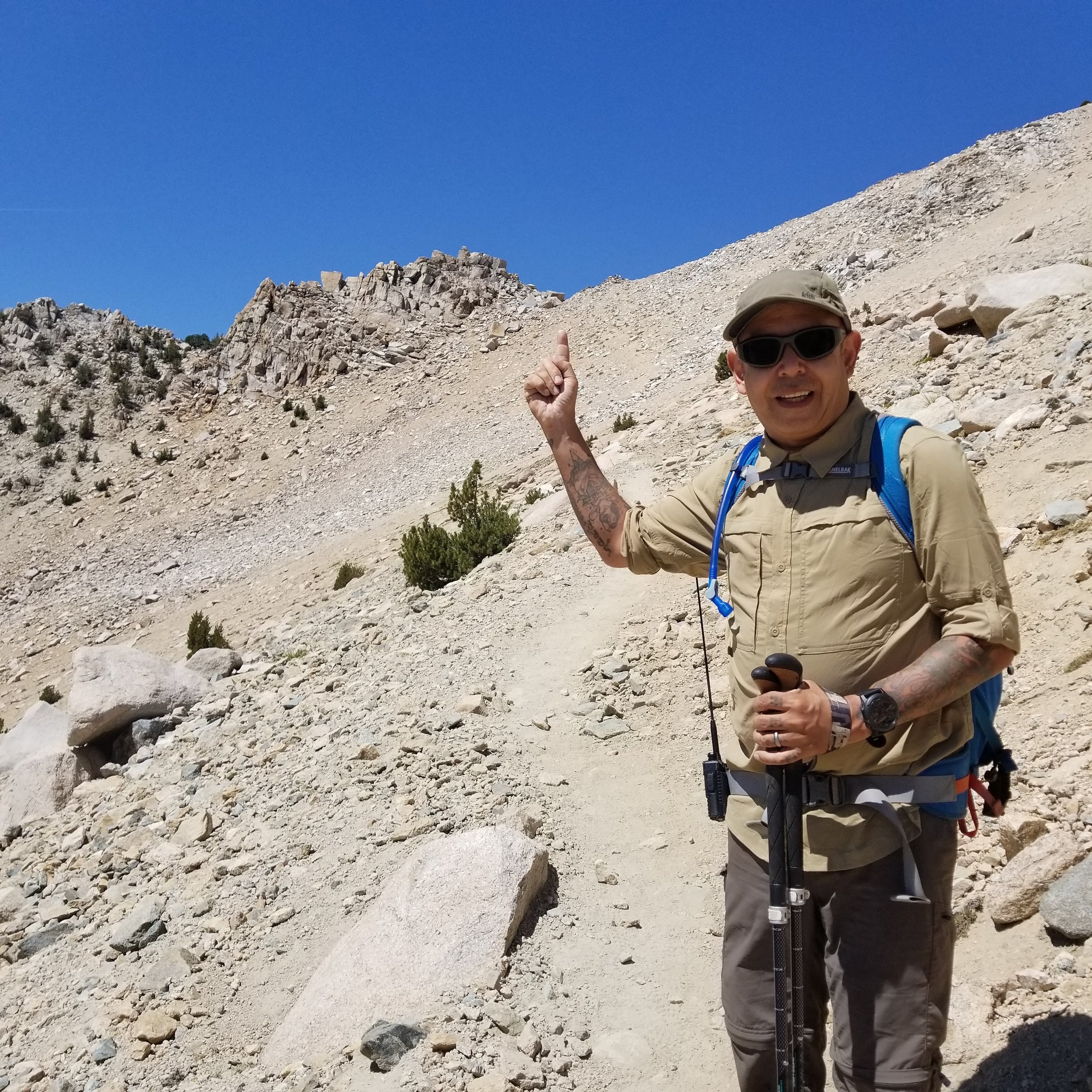
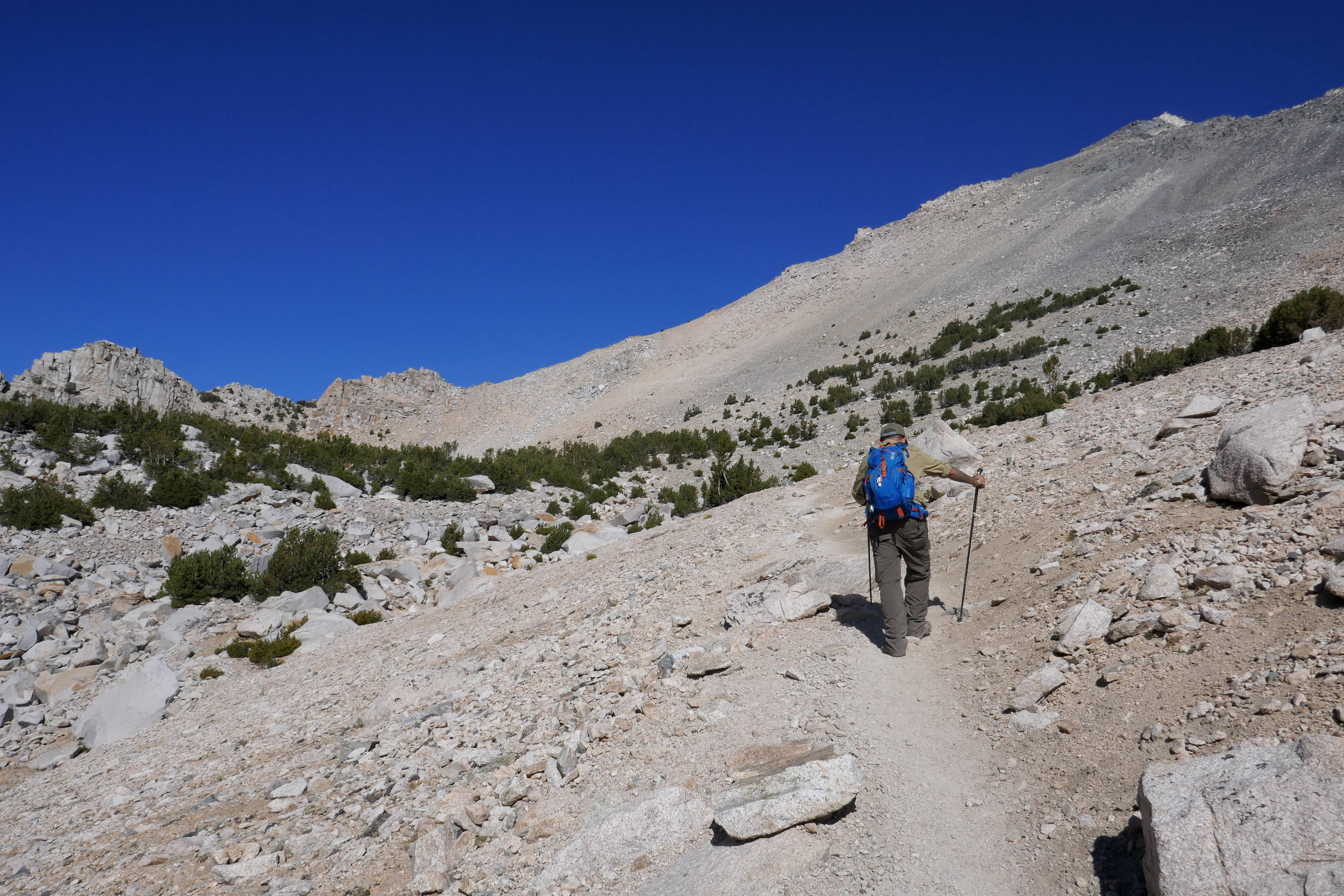
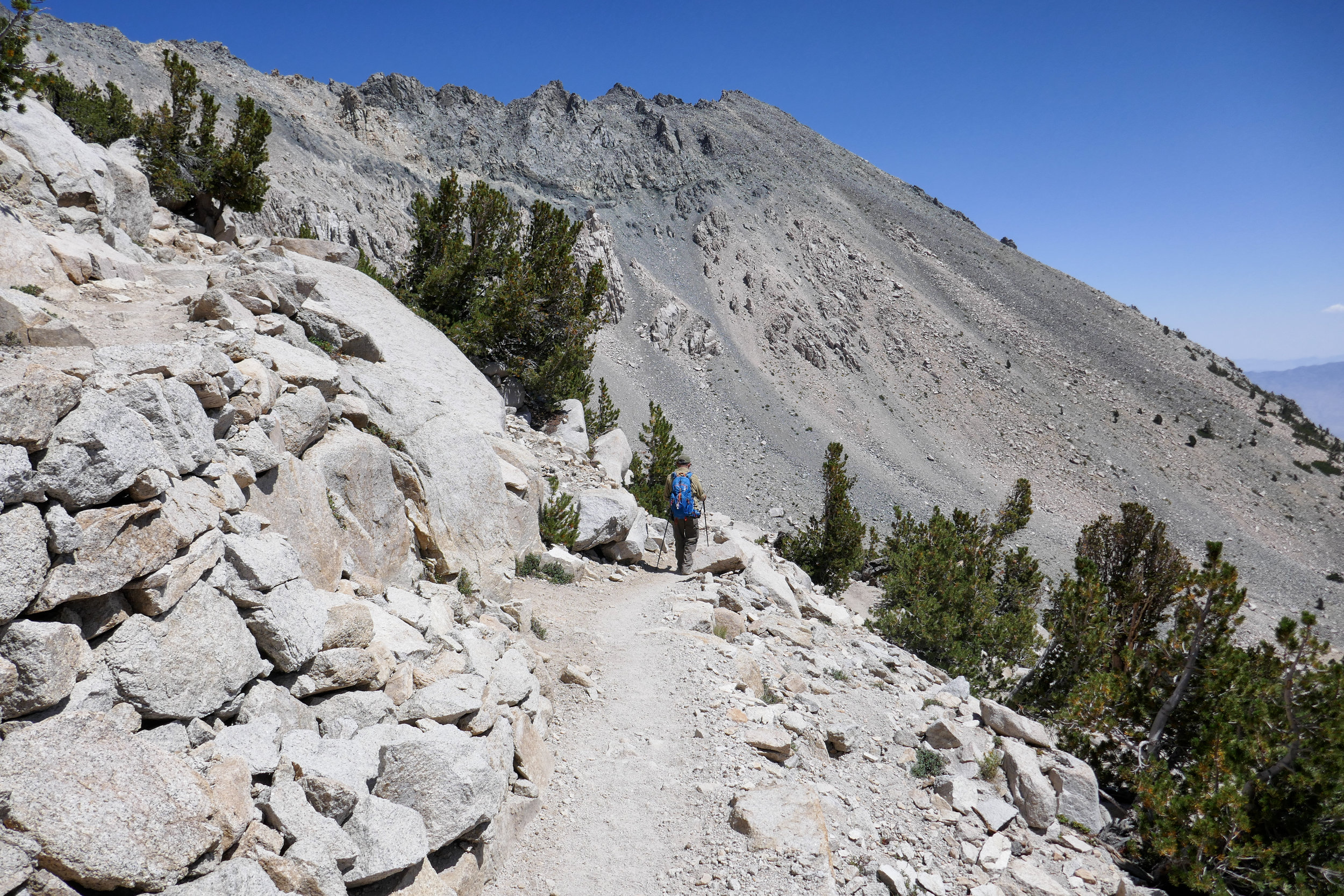
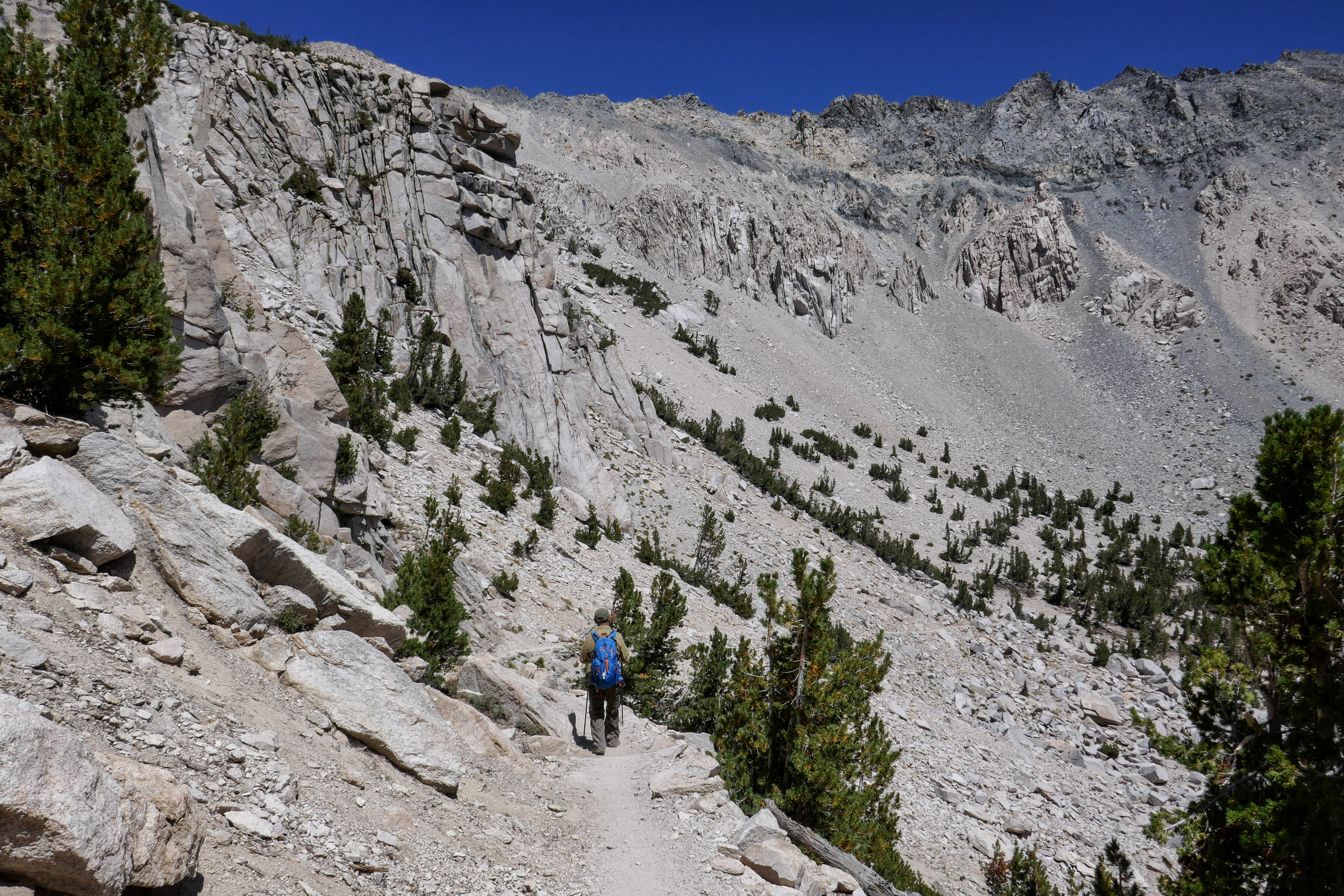
Up we go.

The switchbacks become more rocky.


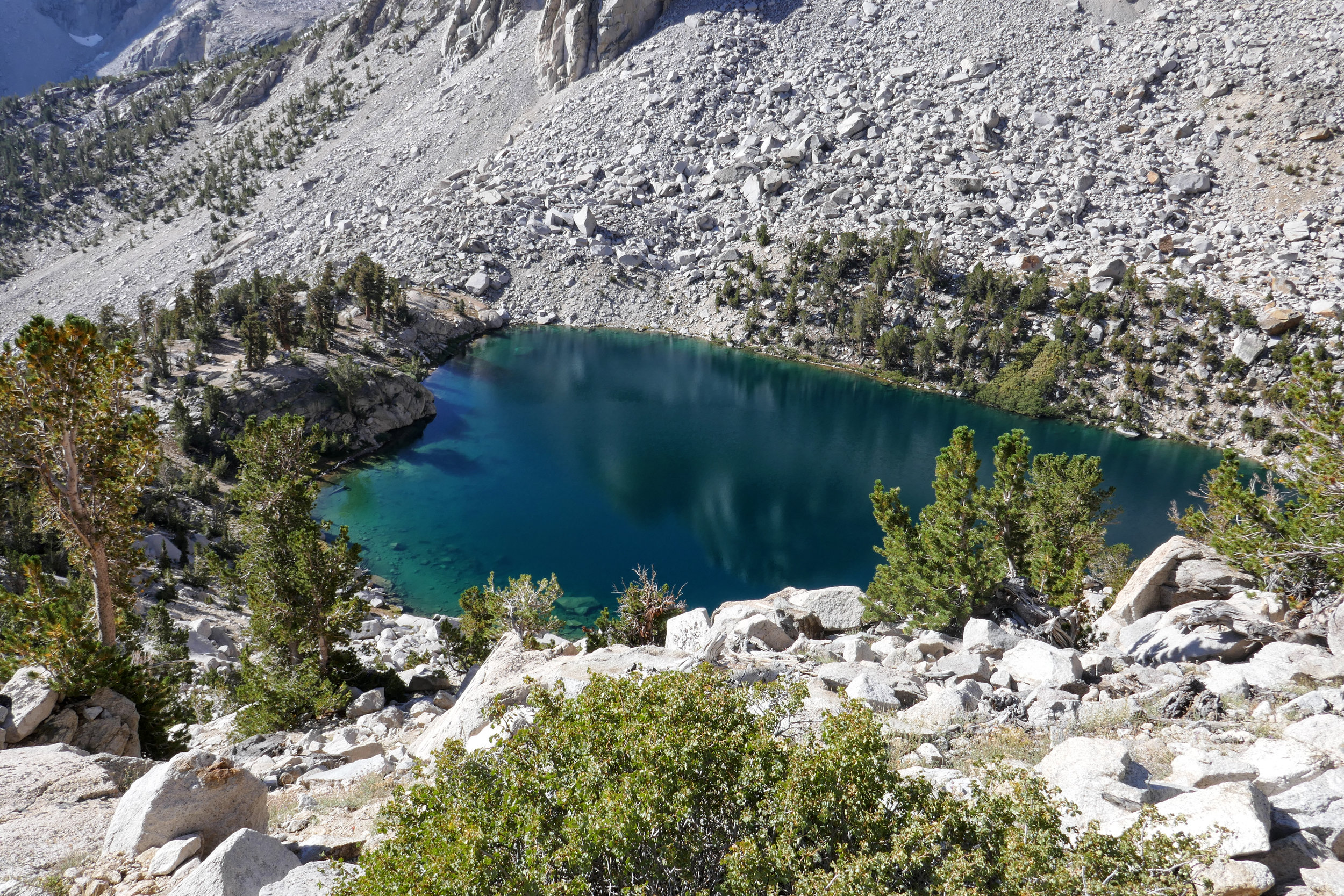
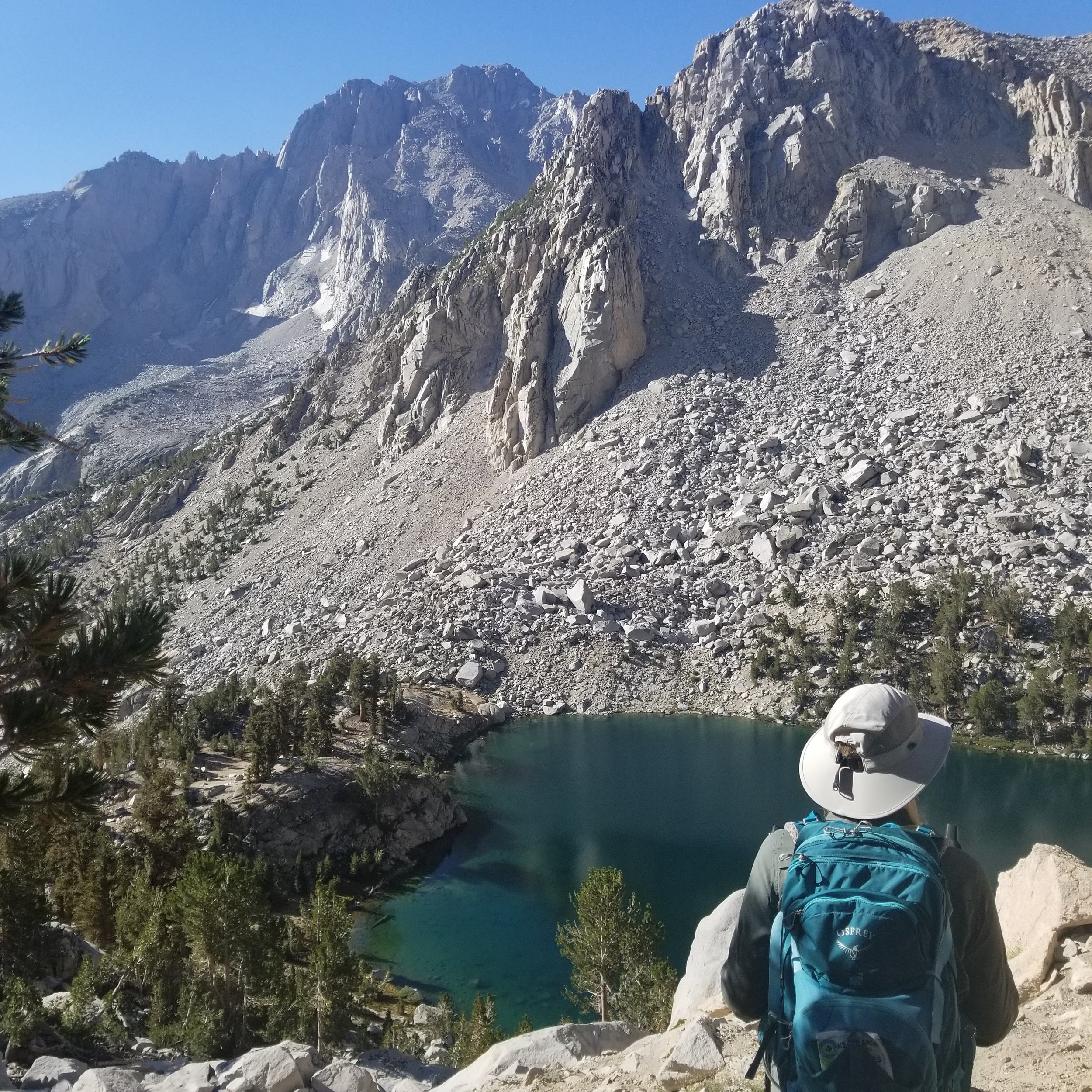
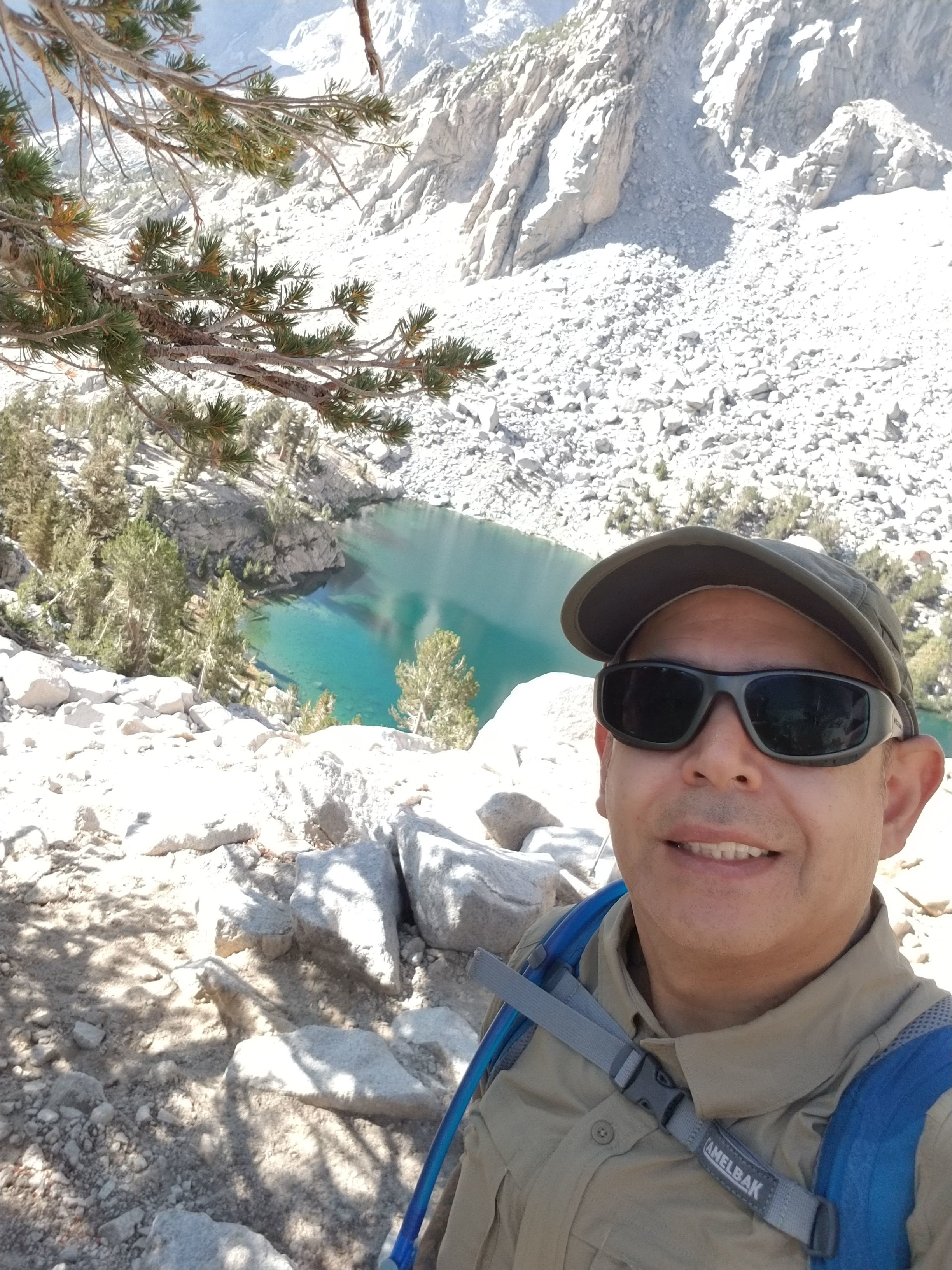
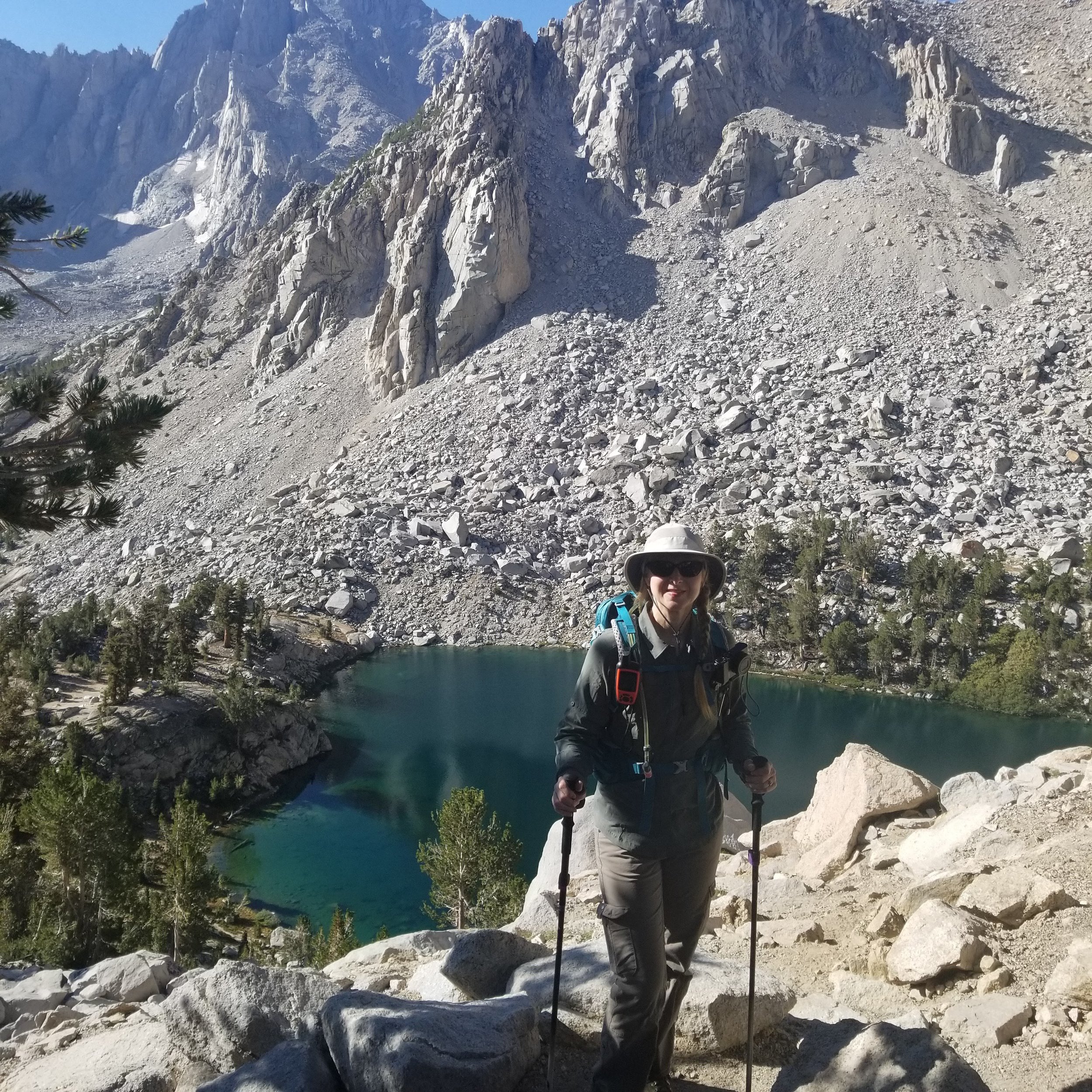
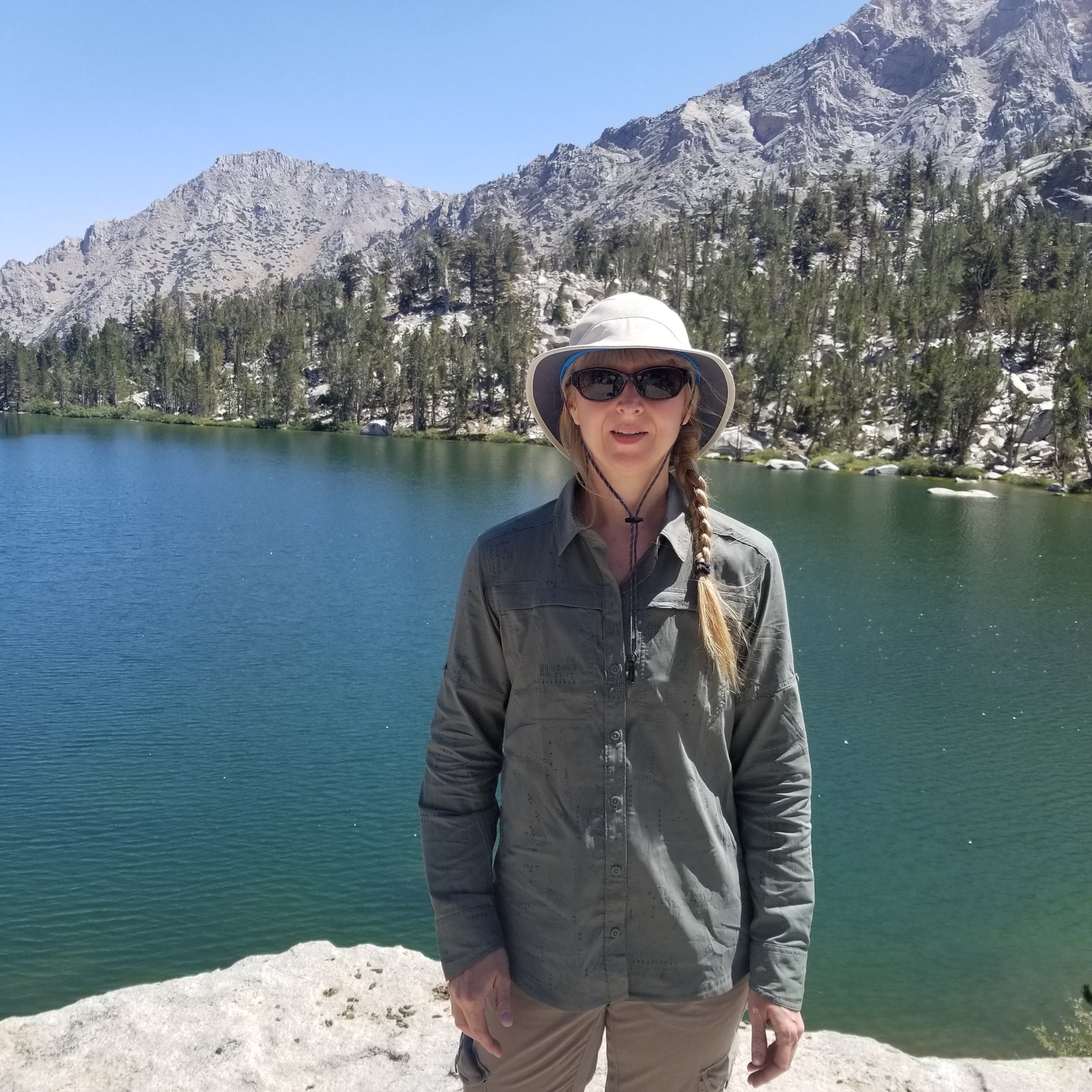
Heart Lake. The water is a sparkling turquoise.


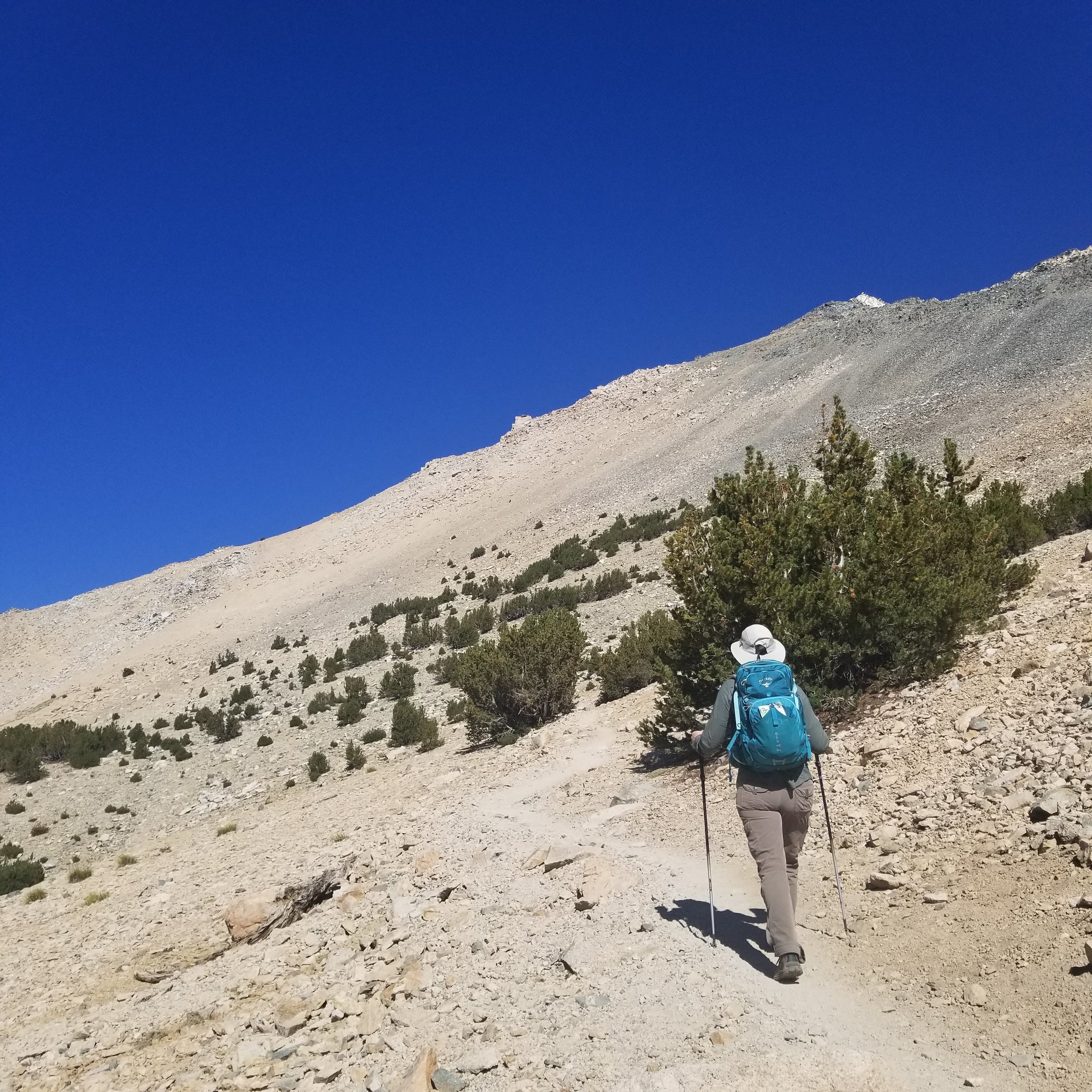
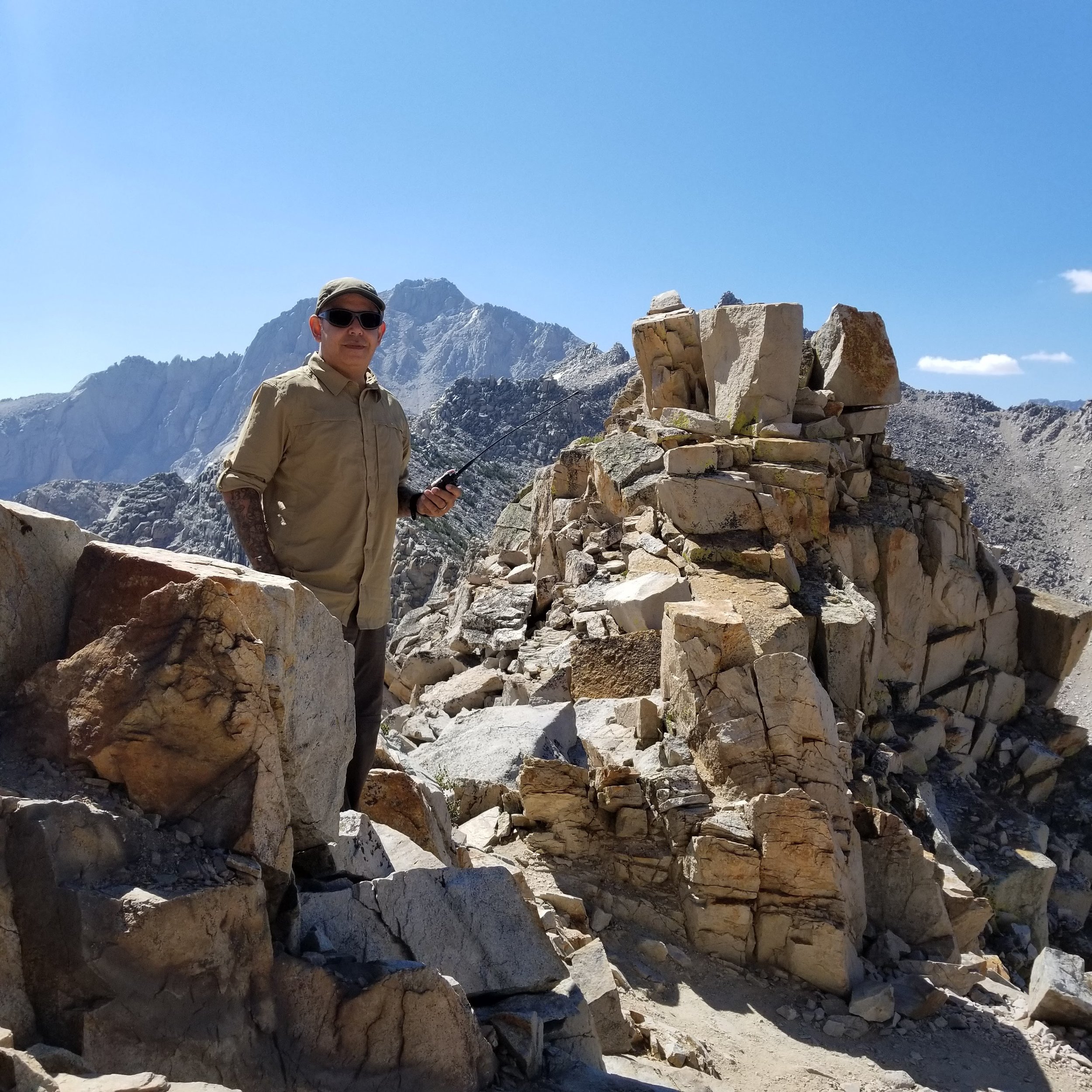
Kearsarge Pass is now within view. The climb is slower due to the altitude, but we kept a steady pace.
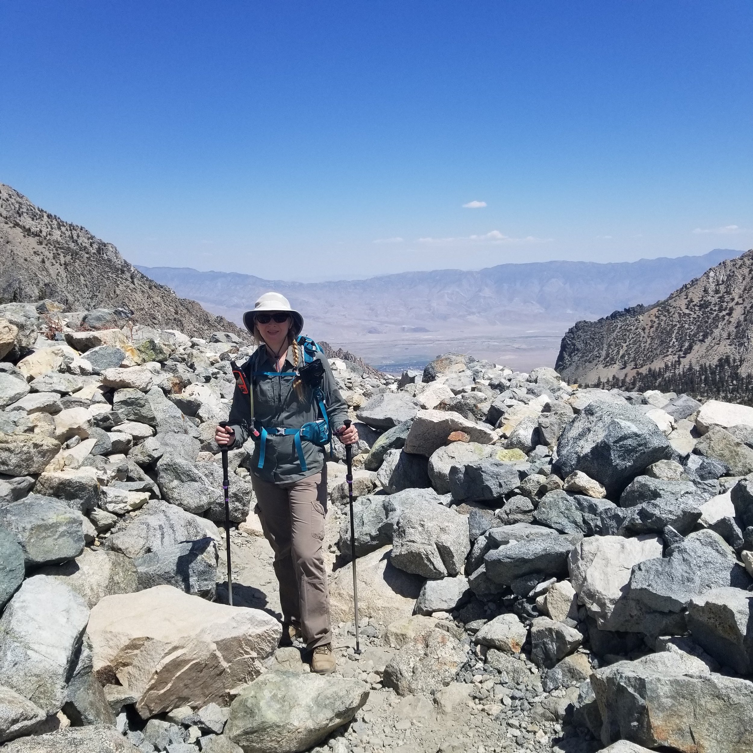
Enjoying the scenery as we keep a steady rhythm.


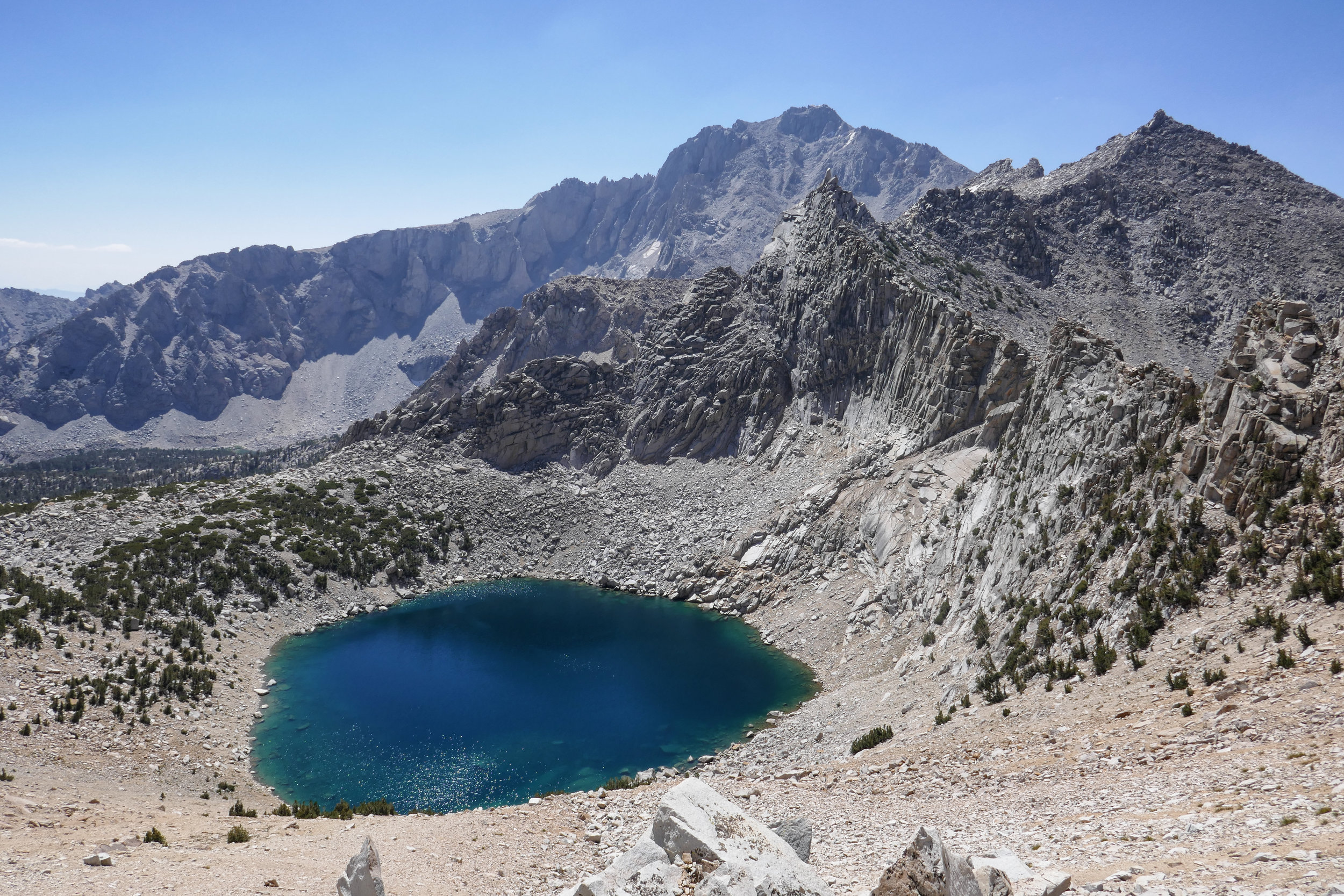
First view of Big Pothole Lake.

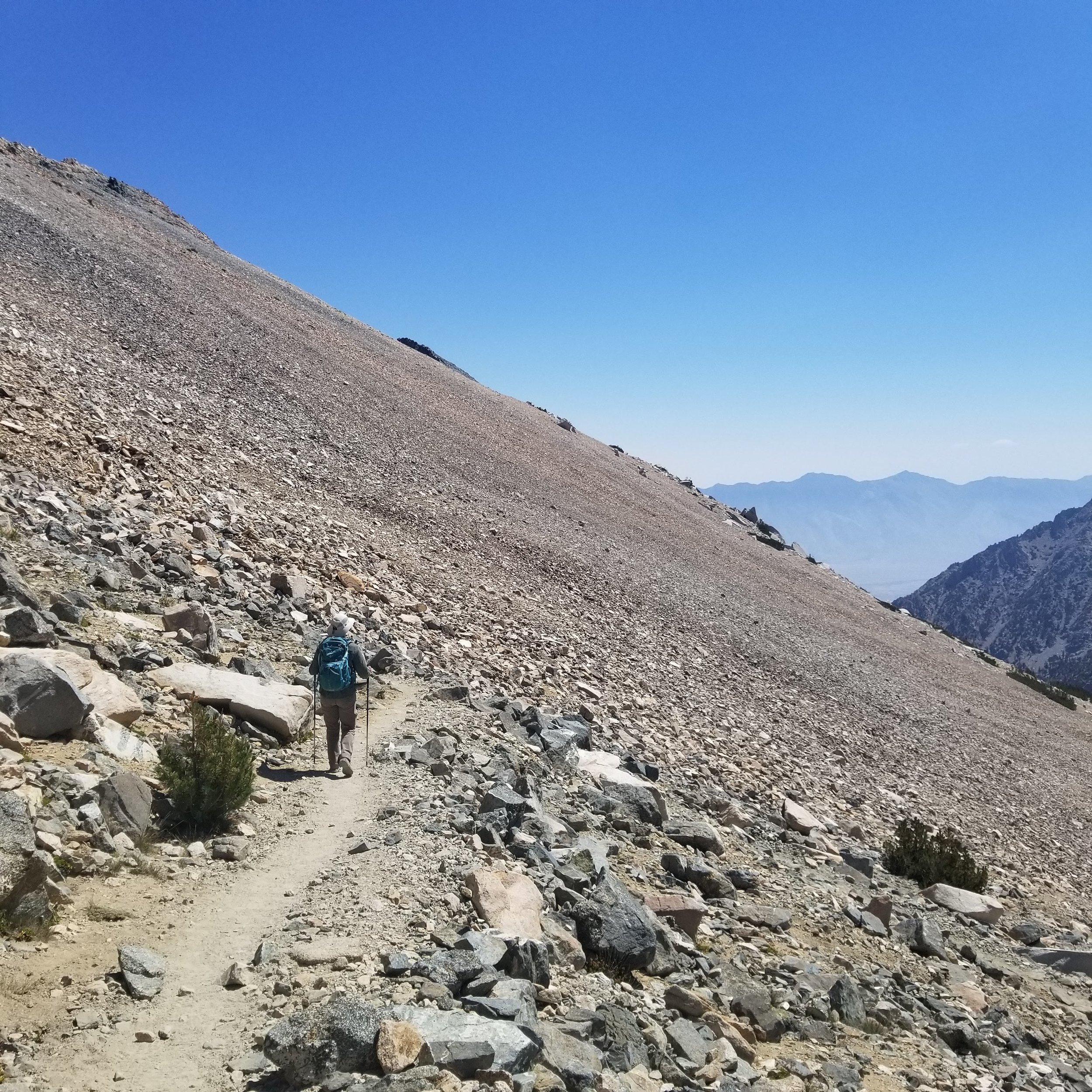
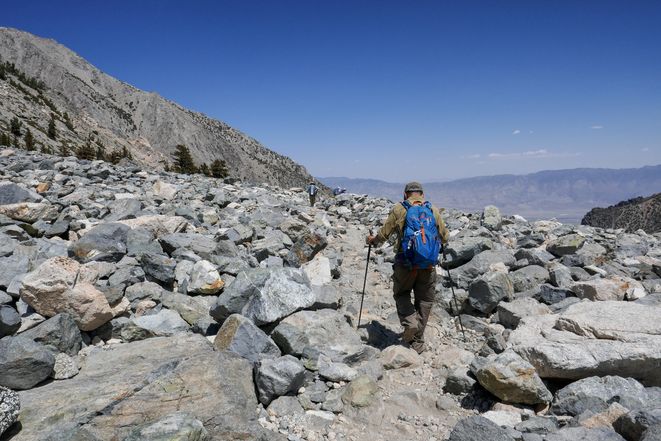
The trail is almost desolate now with mostly rock. We can see the tiny ant people at the top of the pass.
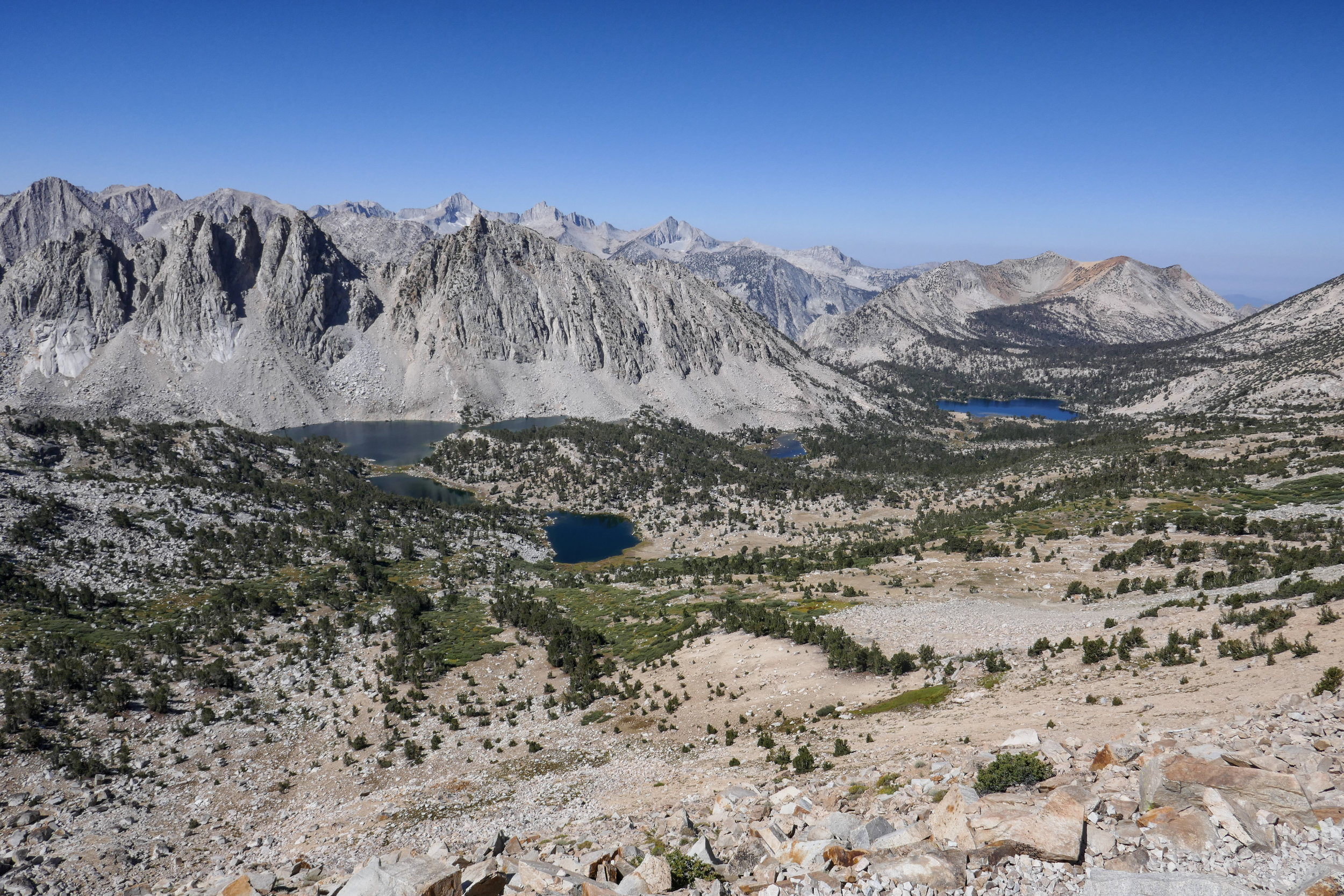
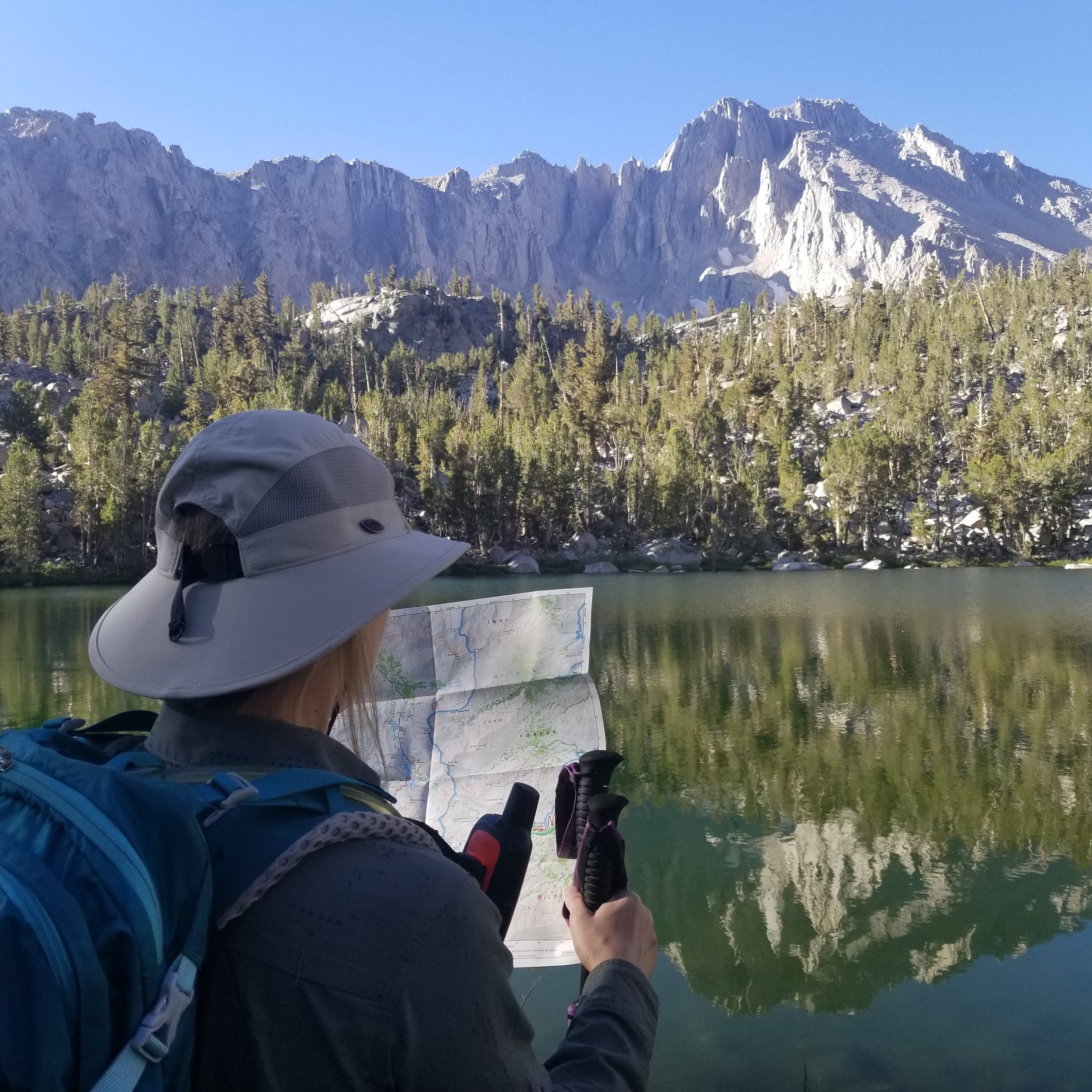
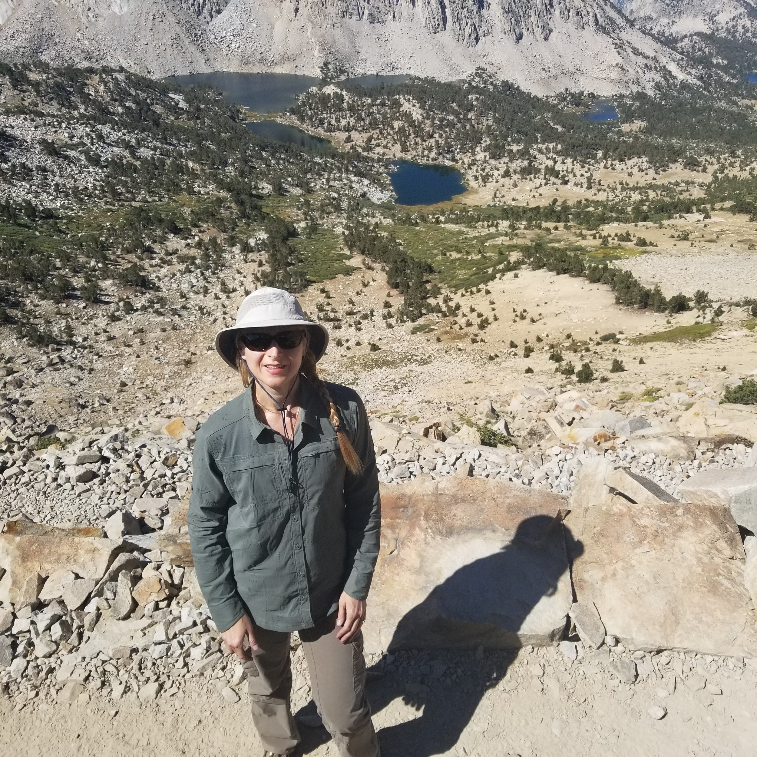
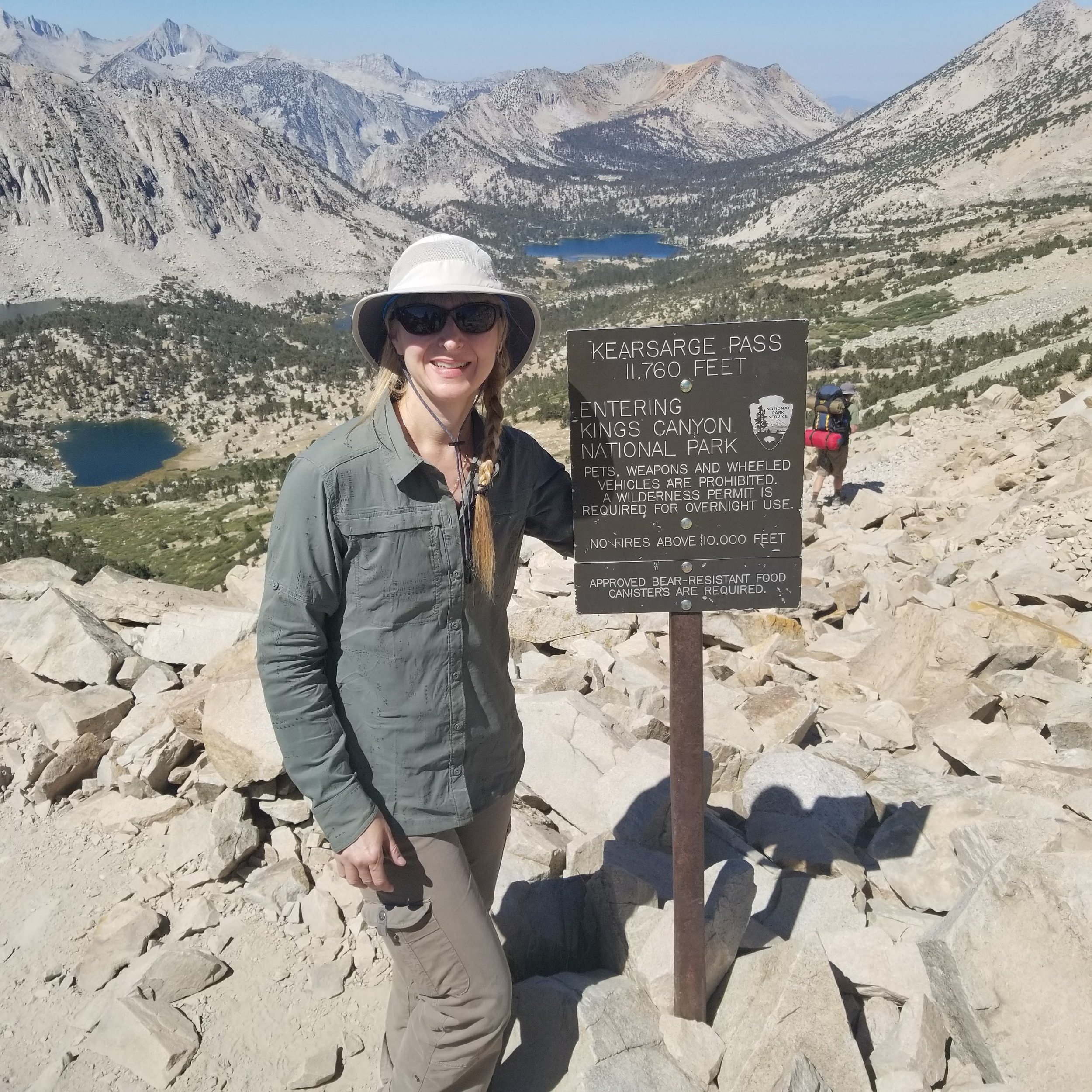
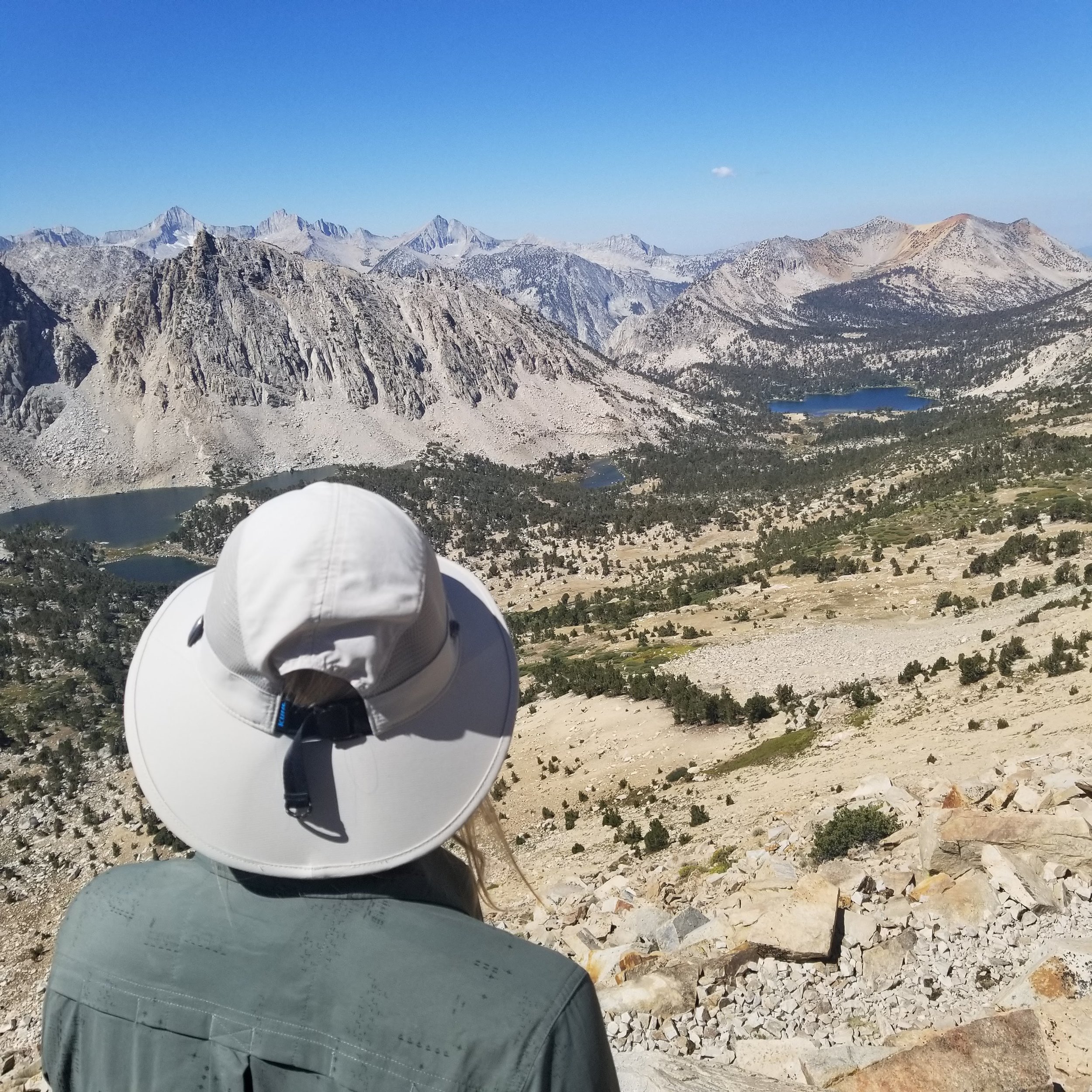
Our first views from the top of Kearsarge Pass. 11,760' according to the sign (11,835' on the Tom Harrison Map). Here we sit down on the rocks and I orient my map. We identify the Kearsarge Lakes and some of the mountains: South Guard, Mt. Brewer, North Guard and Mount Farquhar to name a few.
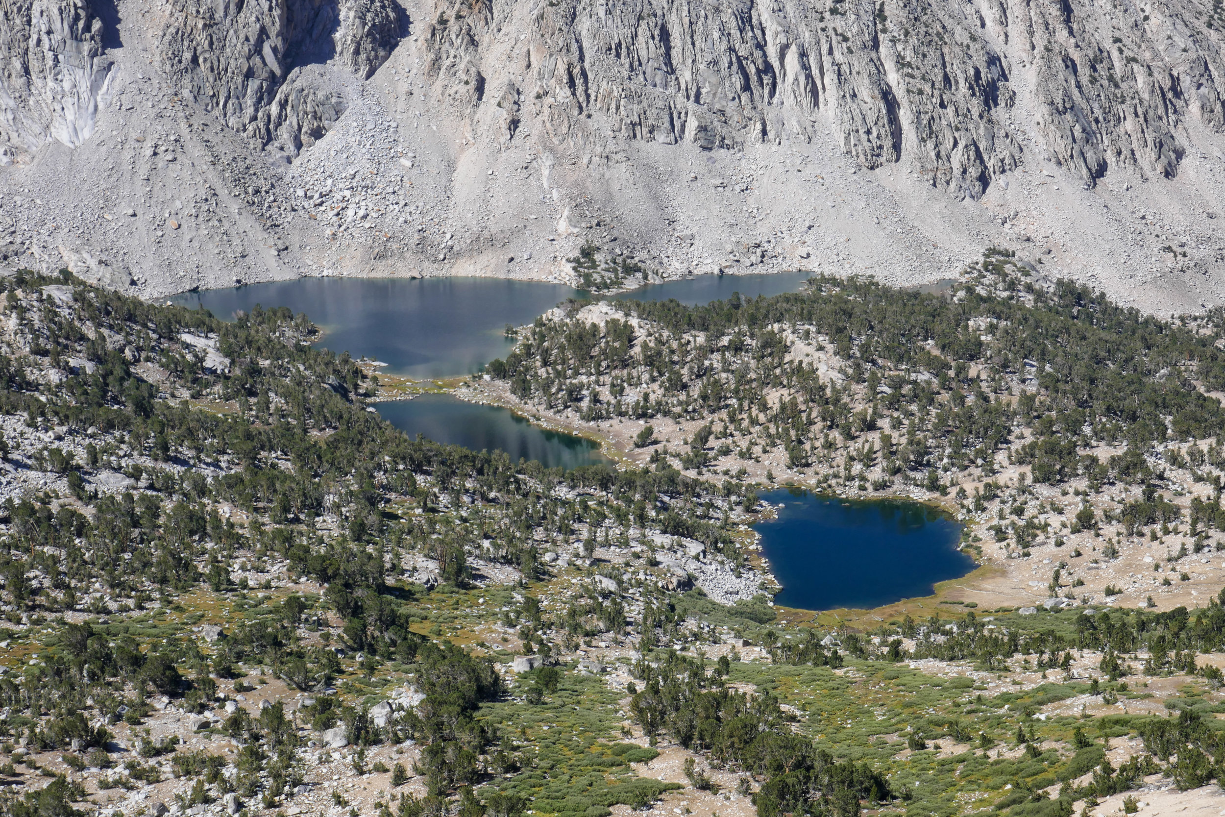
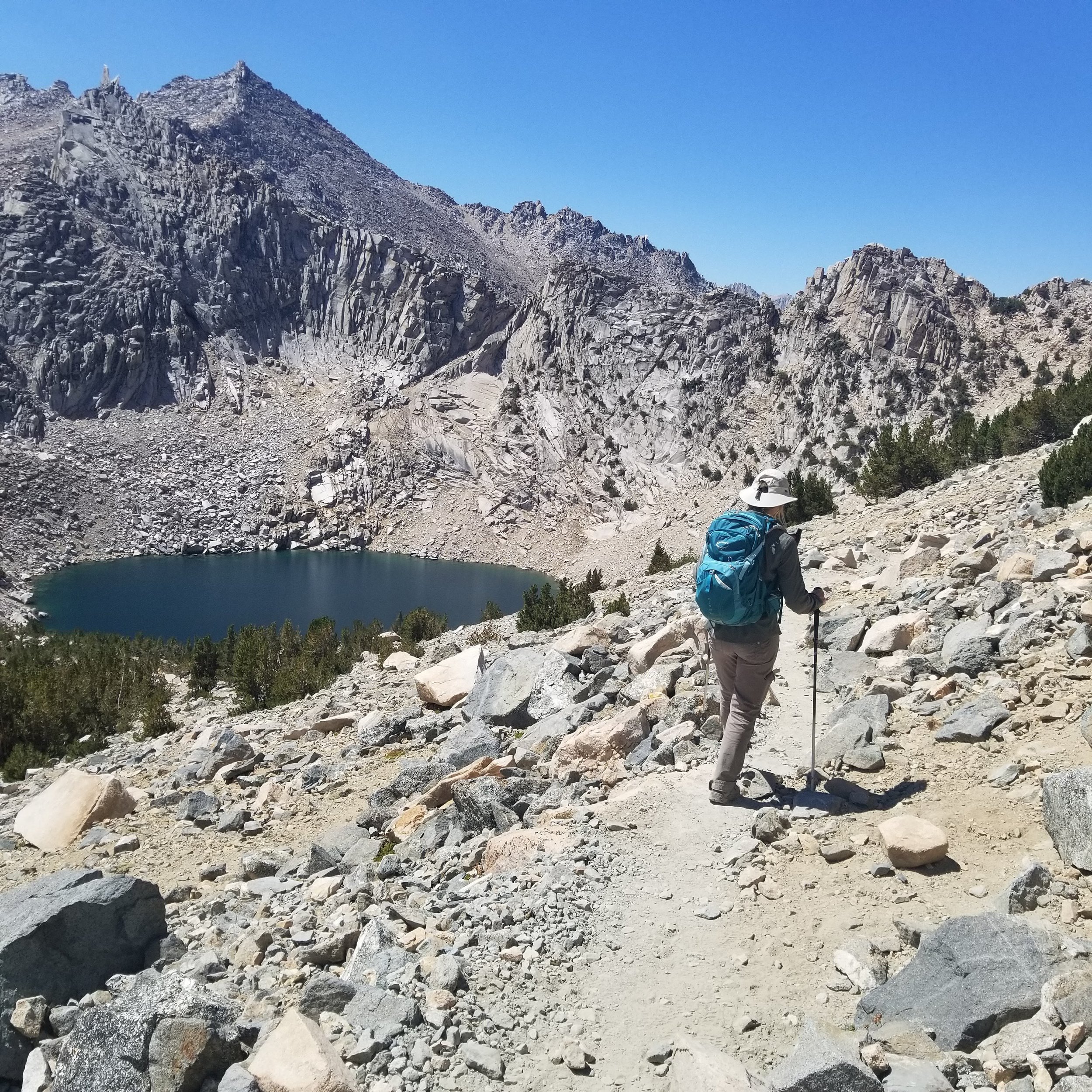
A closer view of Kearsarge Lakes.
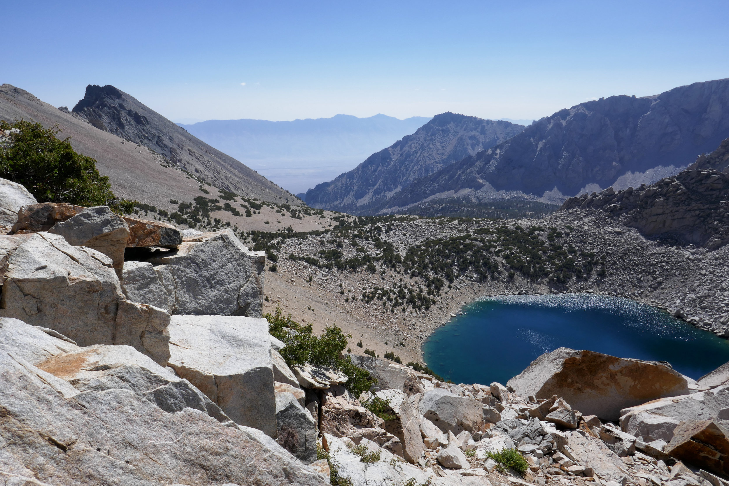
Big Pothole Lake looking over the pass to the east.


University Peak in the distance.
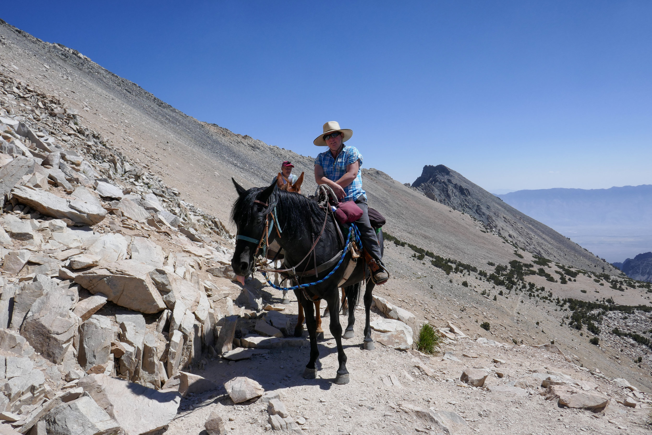
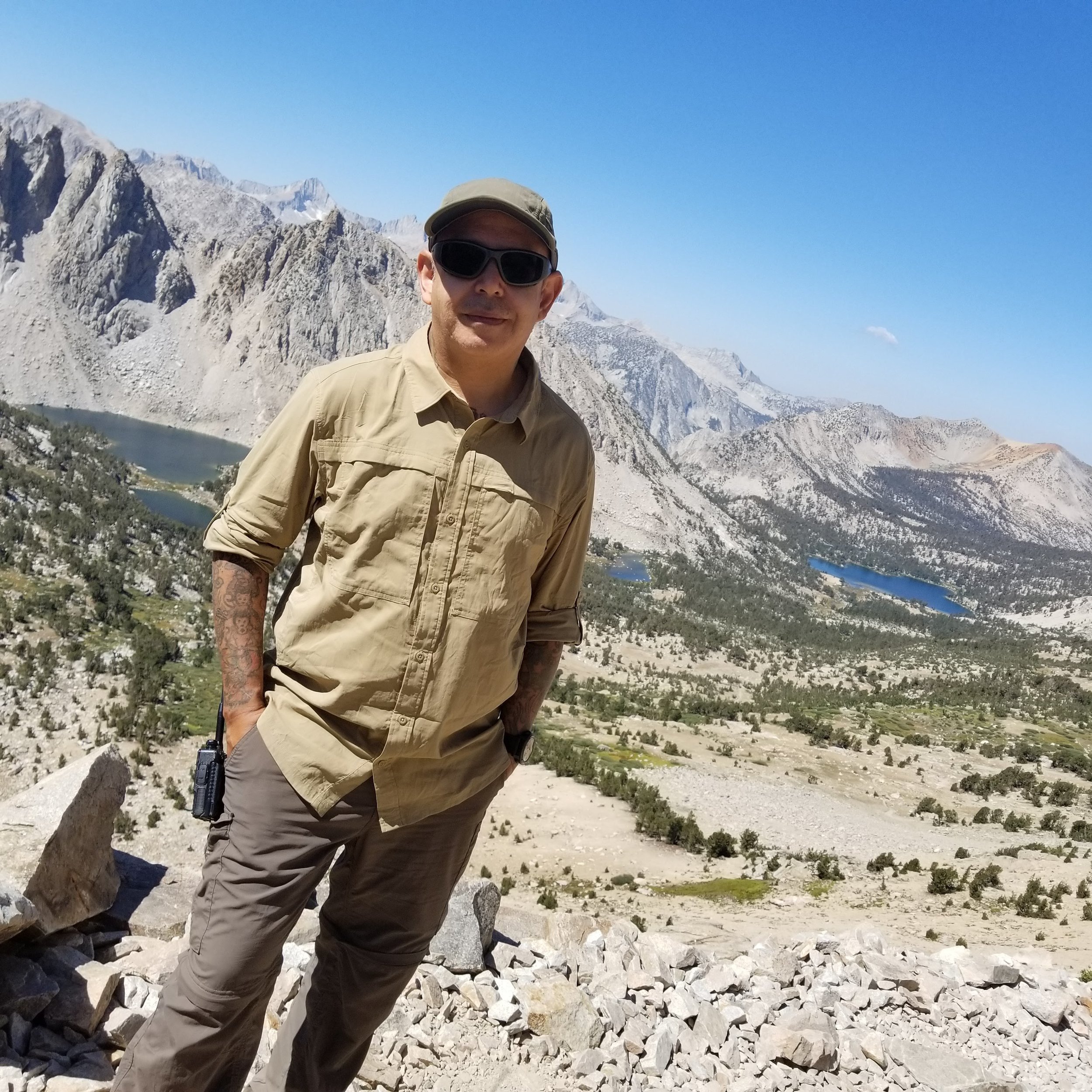
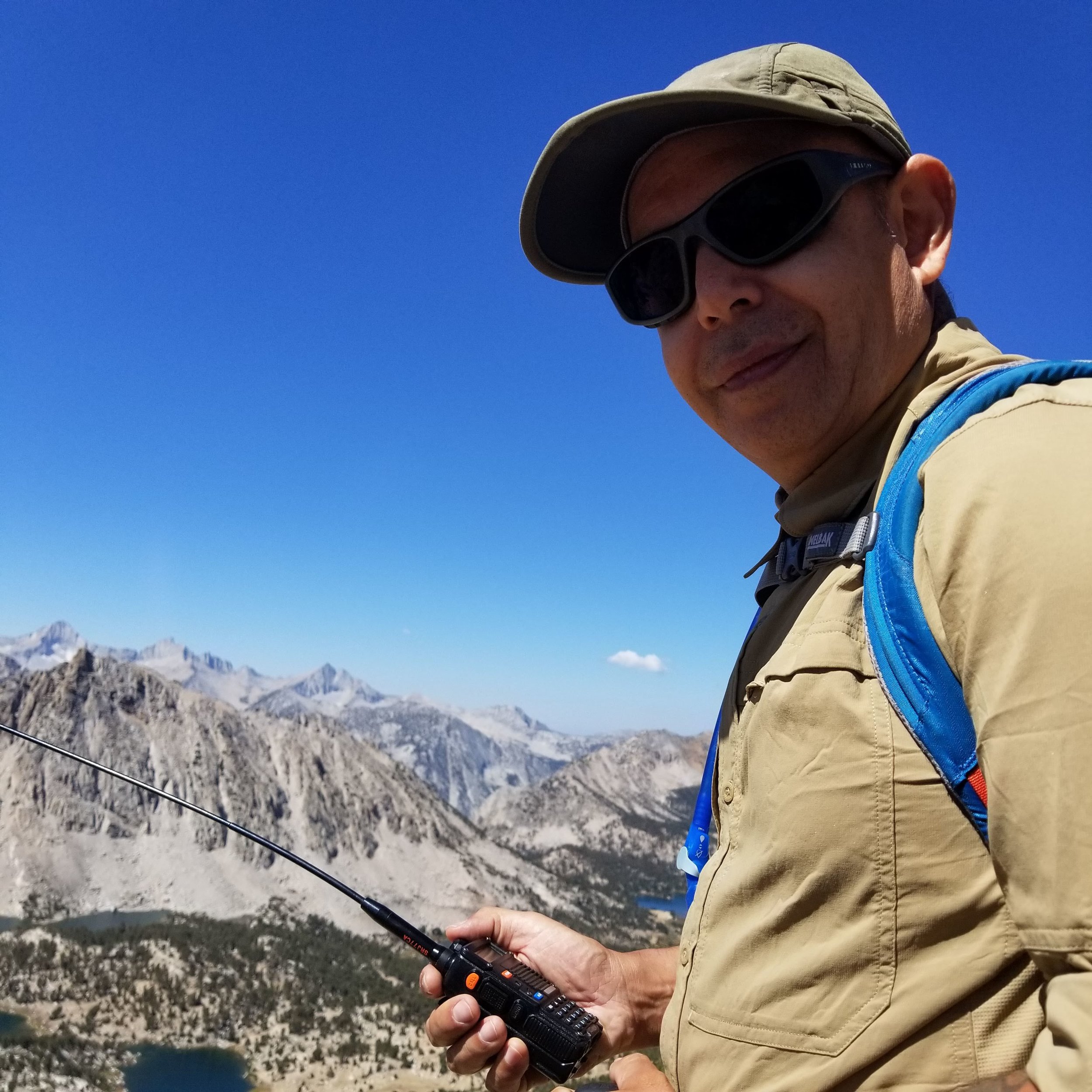
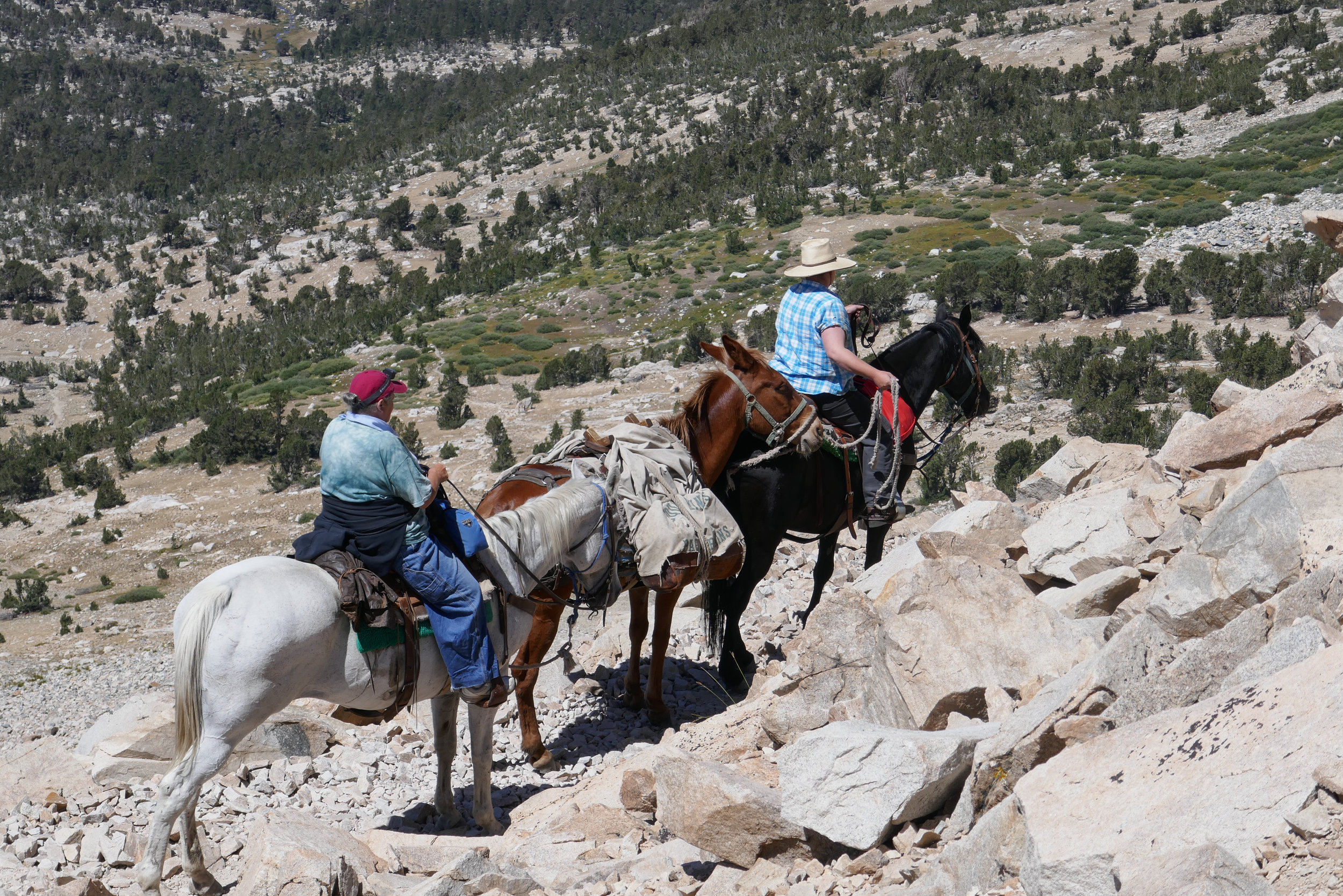
We meet some riders who had just reached the top of the pass. There are two horses and a mule; the gray Quarter Horse is named Rain and there is a beautiful black half Quarter Horse, half Morgan mare. As an equestrian myself, I'm in awe of seeing these surefooted animals up here.

Rain looks over his shoulder as the others continue to descend the pass towards Kearsarge Lakes.

I've ridden horses all my life. I once had a wonderful little Quarter Horse named Doc Bar Cody. We did some great trail rides together in Pennsylvania, but never anything as magnificent as this!

One more photo of the sign before starting our descent.


I can't help but keep taking photos of these aquamarine pools of water.


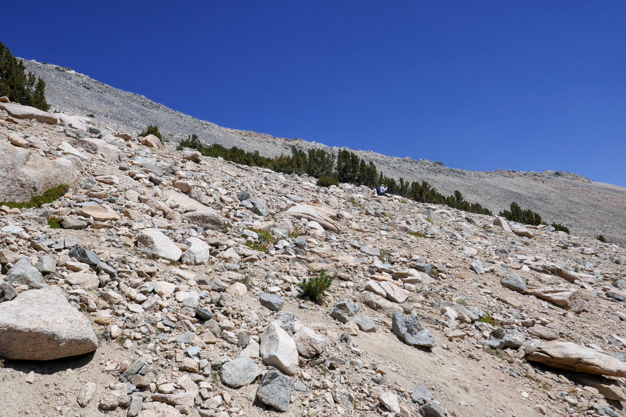
As we descend the slope, the humans at the top of the pass slowly turn back into ant people.
Looking up at a fellow hiker we just passed on the switchback above.


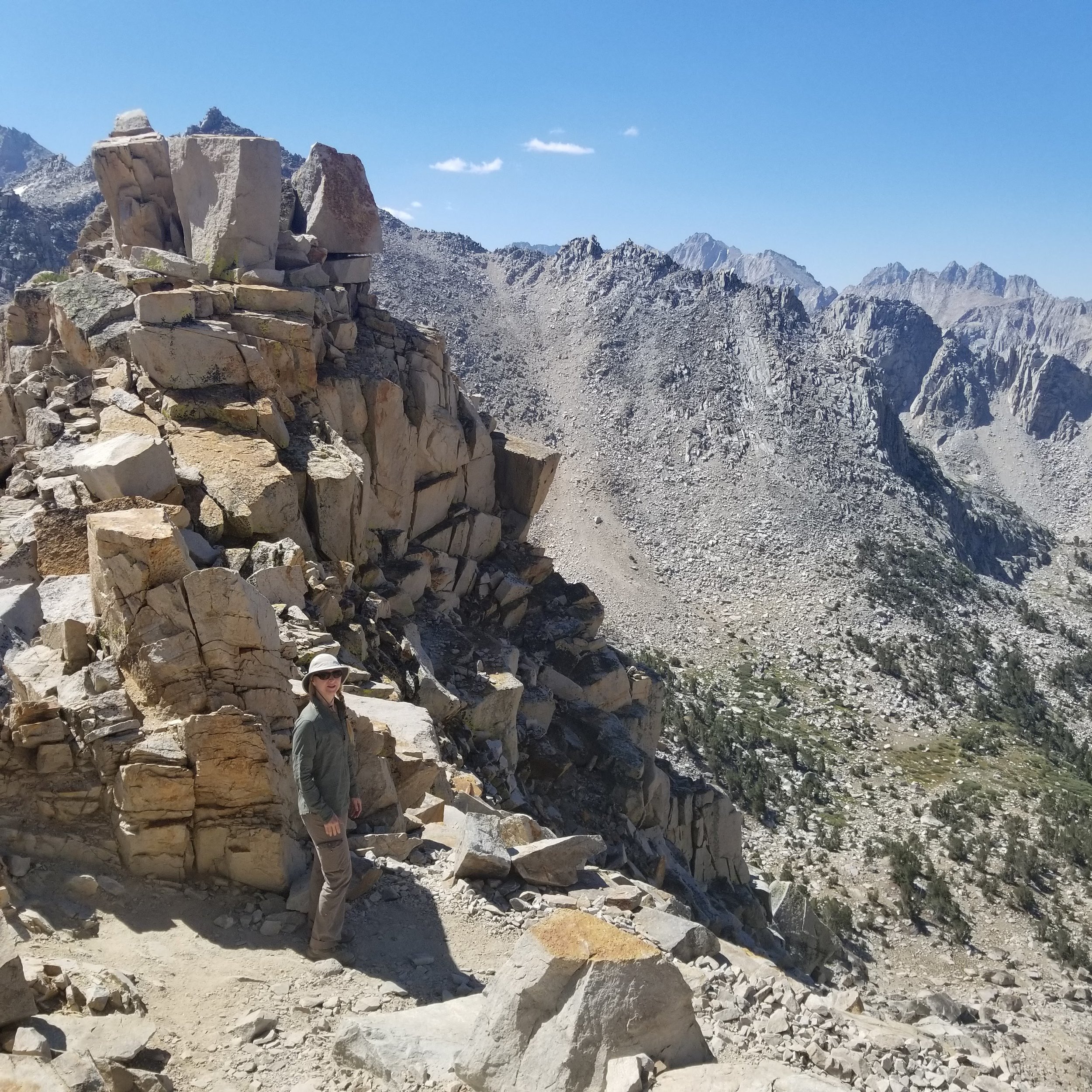
We stop for a moment to take it all in.

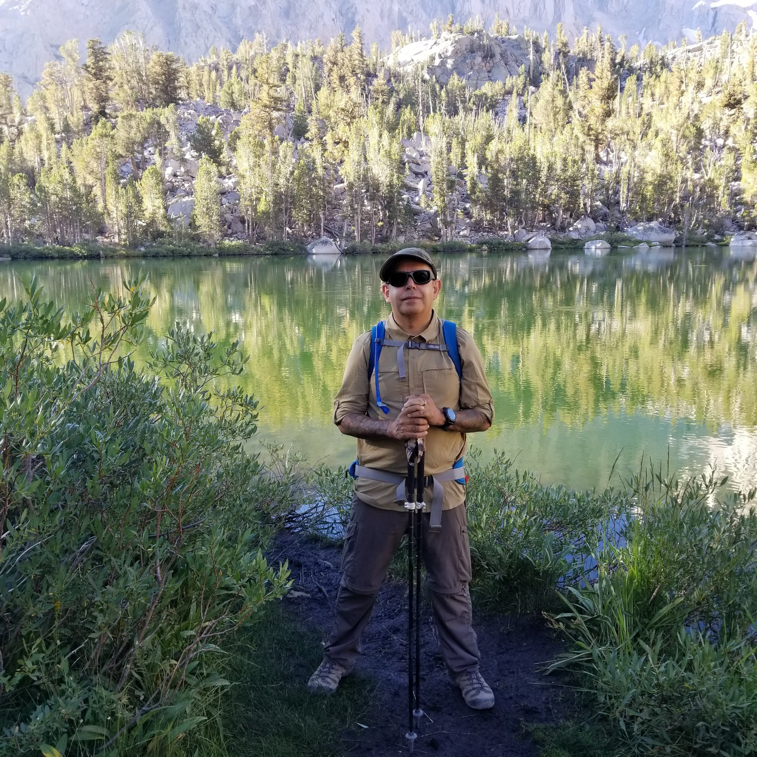
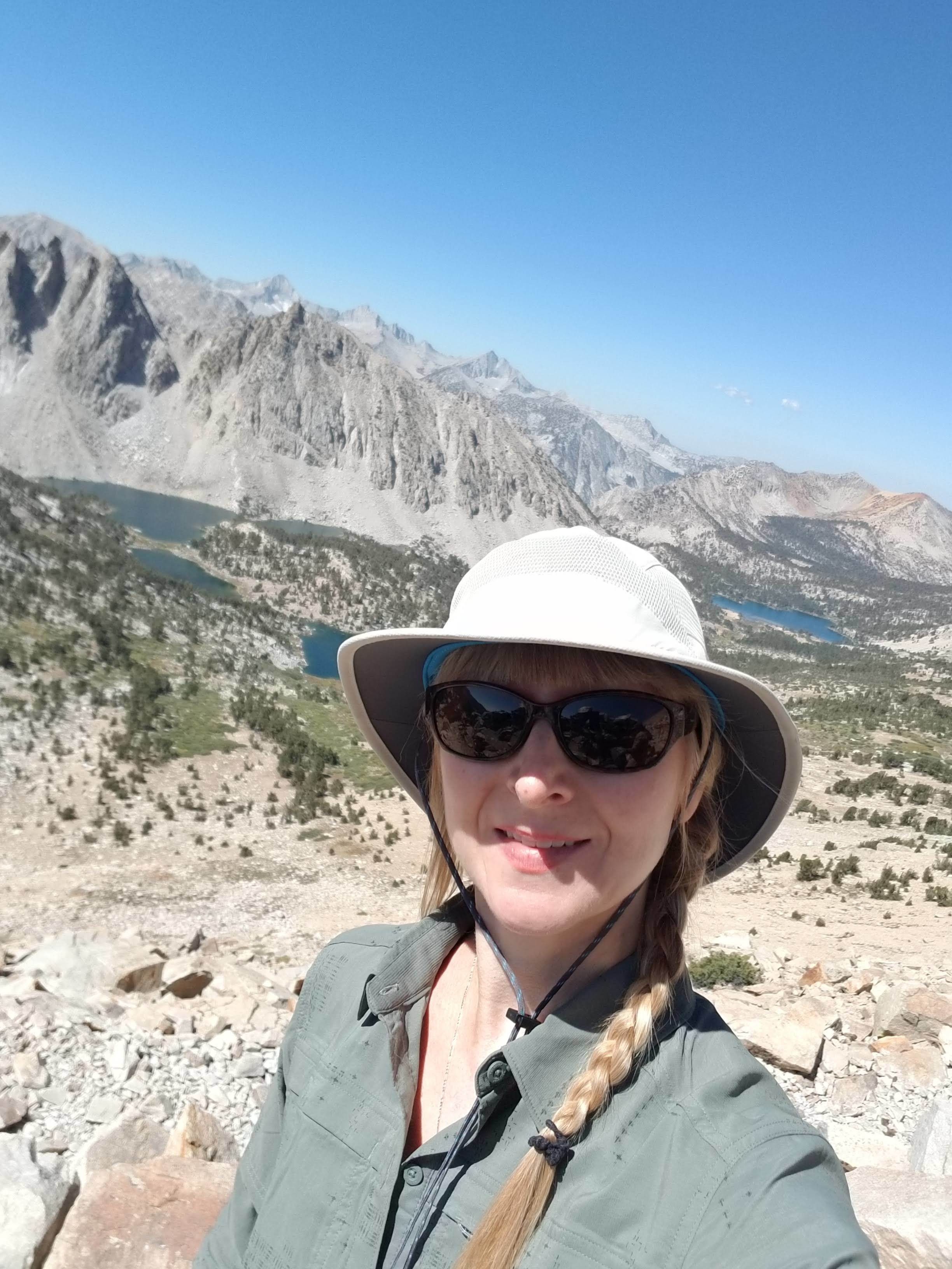
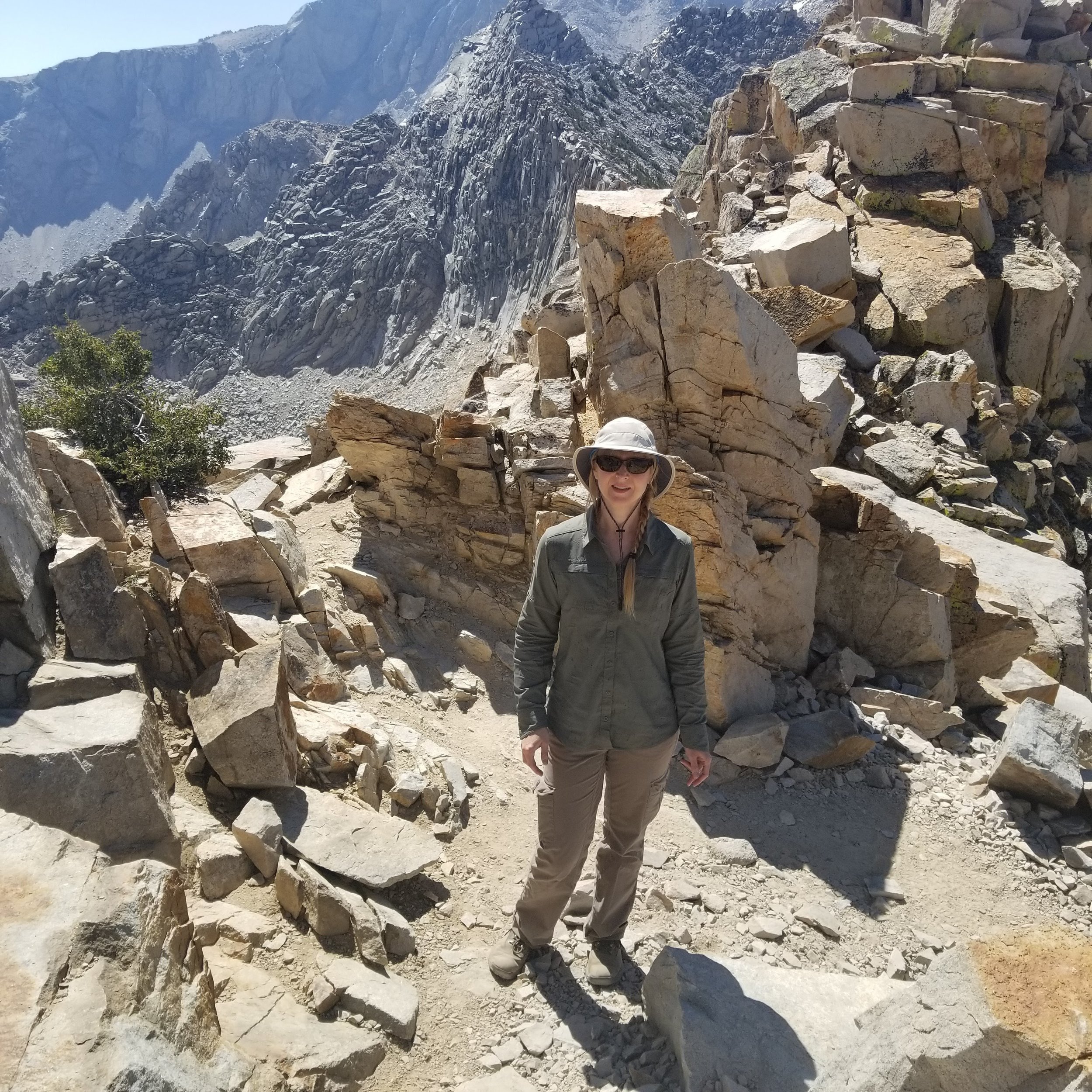
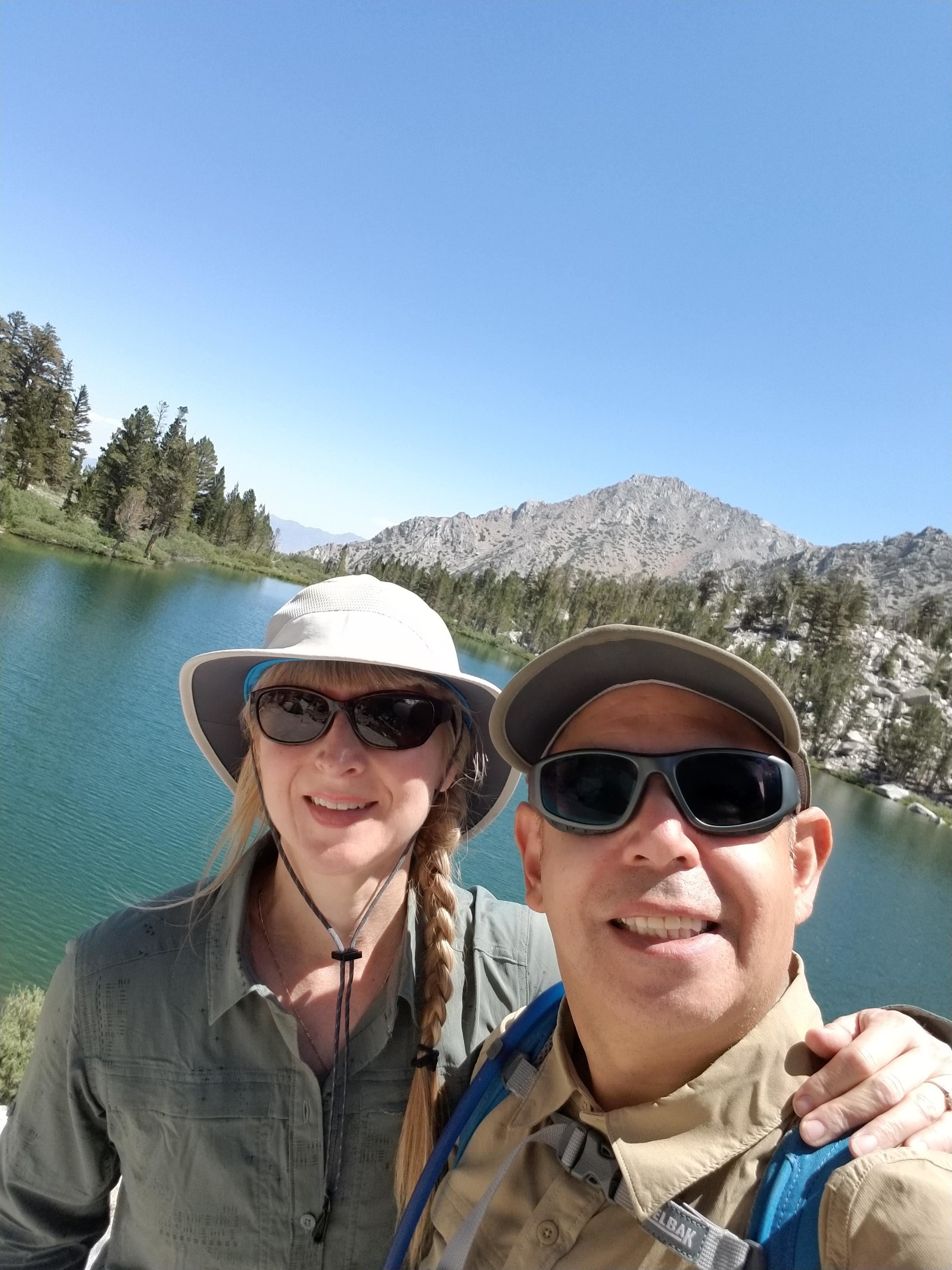
We meet a group of girls who offer to take our photo. They want an excuse to stop and catch their breath. I hand over my camera grateful for a photo of the two of us together with this amazing backdrop.

Some of the girls photo bomb our picture. It's all in good fun and shows the spirit of the mountains. If only people at work on Monday mornings would be this happy!

Flower lakenow comes into view as a tiny dot of turquoise.

A closer shot of Flower Lake.

Passing by Heart Lake.

Continuing to descend.

Wildflowers.
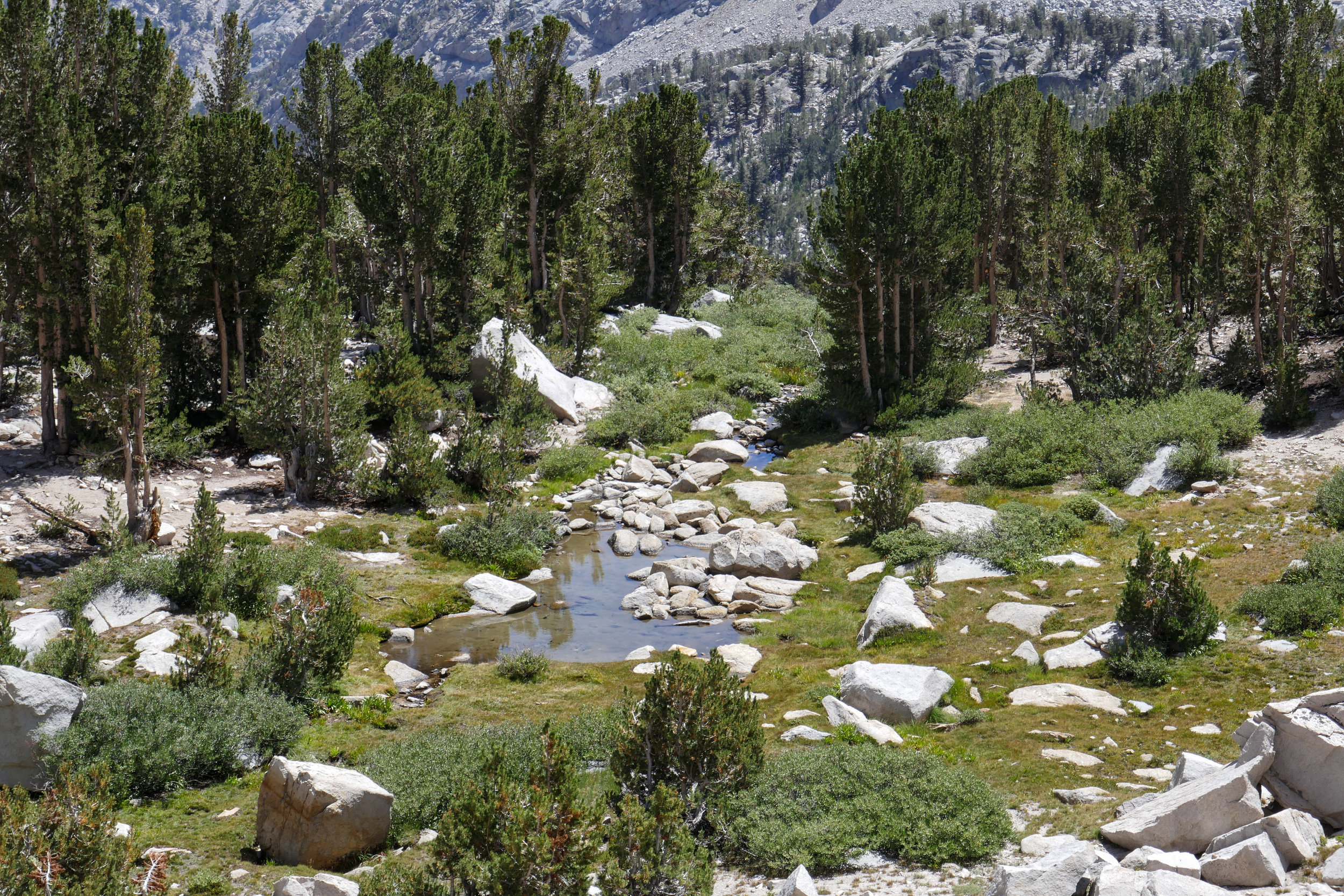
The scenery becomes more green again.
Into the pine forest.
A closeup shot of University Peak.

A chipmunk gives me the "over the shoulder" pose.

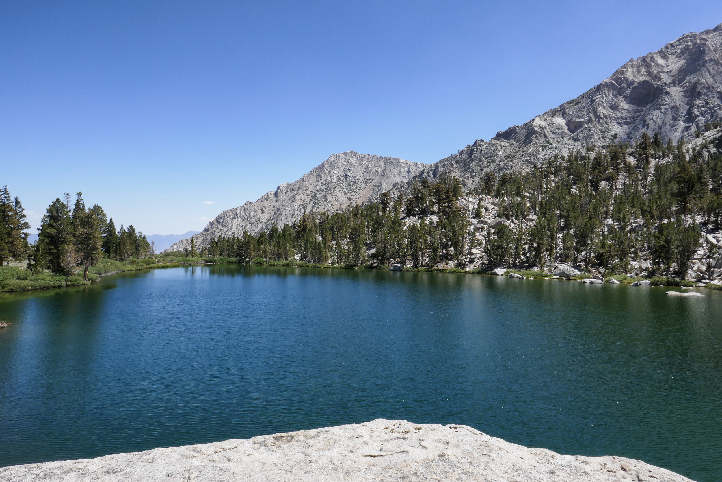
We leave the trail to get a closer look at the emerald waters of Flower Lake.

We spend some time here watching the trout. In the distance, a camper takes a dip in the cooling water.
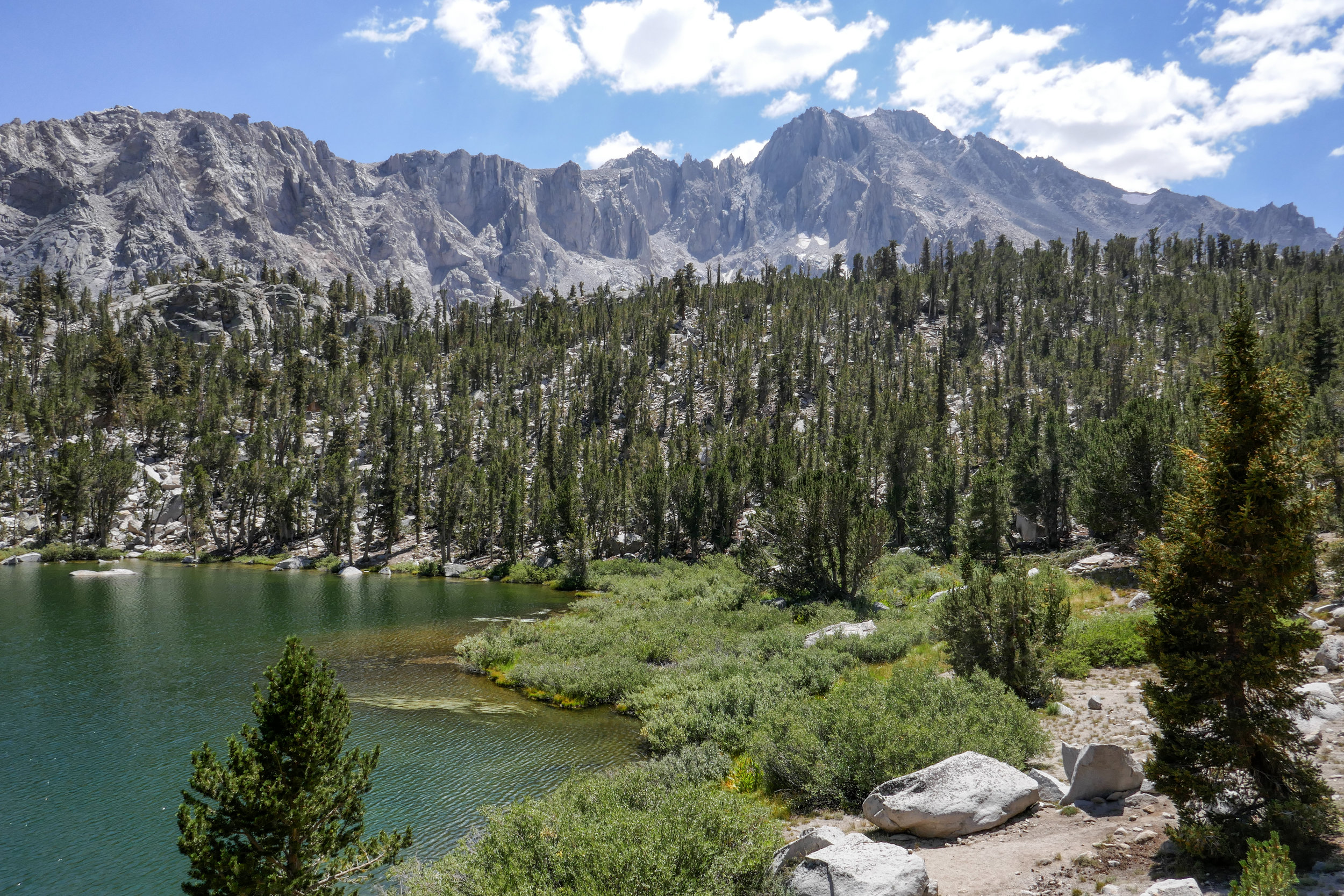
We are now back at Gilbert Lake.

We climb onto the top of a large, flat boulder to soak it all in.

Crossing back over the boulder field.

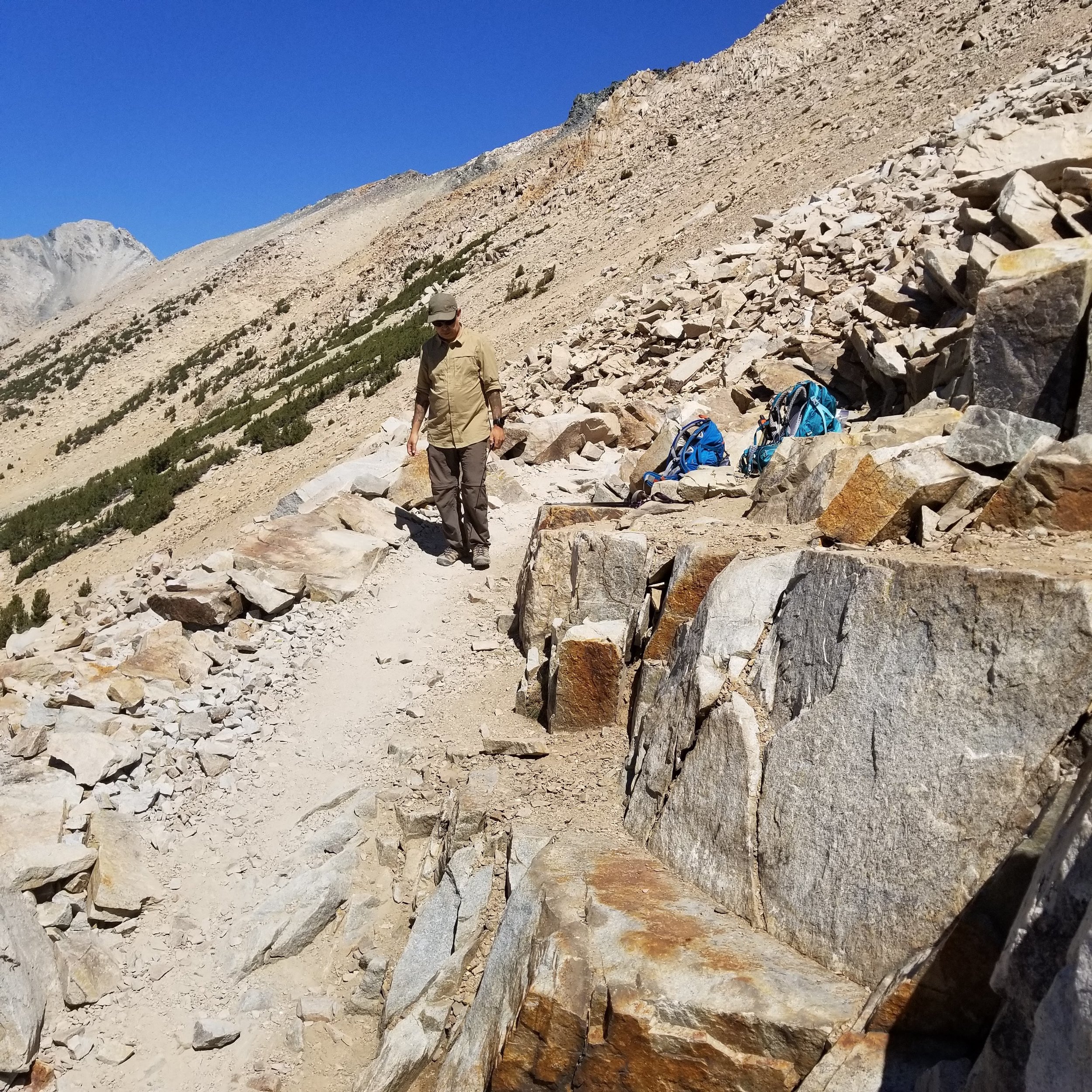
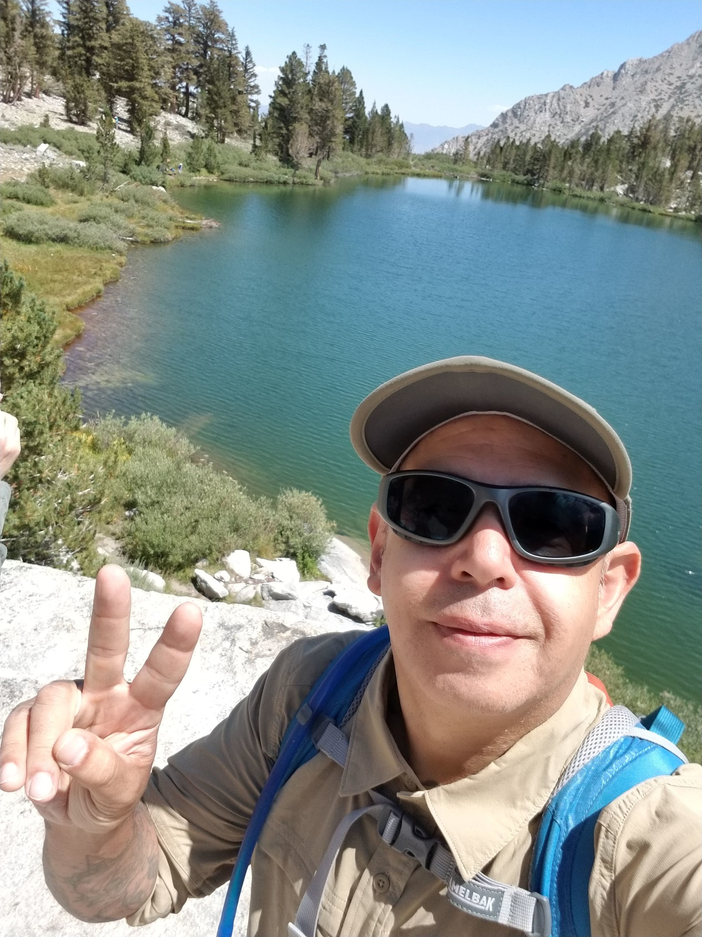
My husband looks back at me. I am forever stopping to take my photos.
The terrain begins to change back to a sage covered hill-side.

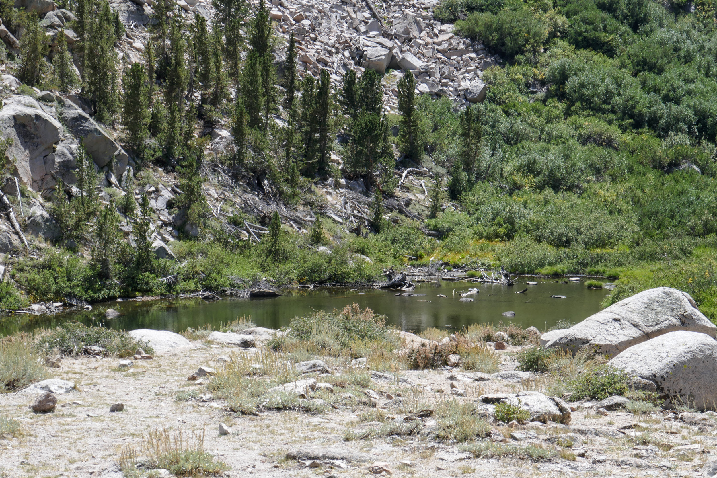
Little Pothole Lake. Somehow I did not see this on the climb up.


Another waterfall.


The White Mountains in the distance.


We begin to see the cars at the trailhead. The journey is almost at an end.
One more photo before saying good-bye.

We arrive back at the trail head at approximately 2:50 pm.