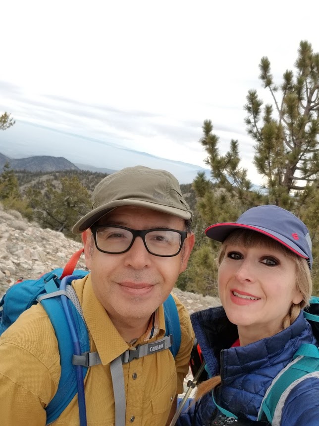
It was a beautiful overcast day in Los Padres National Forest. The weather at this higher elevation was a nice break from the warmer than normal temperatures we’d been having back home. Our plan was to hike to Mt. Pinos then Sawmill Mountain with the possibility of also climbing up Grouse Mountain if we felt up for it. We got to the trailhead just before 7:30 am and got started. The hike to Mt. Pinos took us through beautiful pine forests and wide open high elevation meadows. I can imagine how beautiful it must look here when more wildflowers are blooming. Mt. Pinos is easy enough to get to since it’s mostly hiking up a gentle fire road. At the top, there are some radio towers, but the views are great. It’s said that the Chumash Indians thought that Mt. Pinos was actually the center of the universe. Interesting that now we have a radio tower up there. After Mt. Pinos, we continued on the road to the Condor Observation Site. We didn’t see any condors today, but the views continued as we hopped on the single track Vincent Tunamait Trail and headed to Sawmill Mountain. The trail starts off with some long, gently graded switchbacks that make the descent quite enjoyable. You’ll be able to take in the surrounding views as you make your way down. Eventually that nice easy grade changes and the trail becomes steeper as you continue downward into the forest where it levels out again. I really enjoyed all the bendy Limber pines and also the vanilla scented Jeffery pines throughout this whole hike. After reaching the saddle, the trail climbed steeply upward and we eventually reached the spur trail for Sawmill Mountain. We made our way up to its wide, flat summit where there’s a really big rock carin with prayer flags that have been tattered by the winds. It was quite windy today making it a little chilly, but the views were incredible! We could see all the way out to the Sierras and could even spot Mount Whitney! Amazing! After Sawmill, we headed back down into the shelter of the forest and decided to continue on to Grouse Mountain. The trail descended again and eventually, we crossed the junction to Sheep Camp and a few other trails. Before long we found the spur trail heading up to Grouse Mountain. (The Vincent Tunamait Trail keeps on going and heads downward.) The spur trail to Grouse was steep and the trail was covered in soft pine needles, but it was easy enough to follow. At the summit, there’s a register hidden in the rocks that you can sign if you so choose. It was a lovely, peaceful place to break for lunch. After our break, it was time to start heading back. We knew we had a lot of up and down climbing left to do to get back to the car. It was an extremely relaxing day in this peaceful scenic forest and a very enjoyable hike.

The hike starts out at the Mt. Pinos Nordic area. There's a huge parking lot here but no restrooms. I assume there would be in the winter if the building is open.

The hikes starts climbing up a road away from the parking lot.
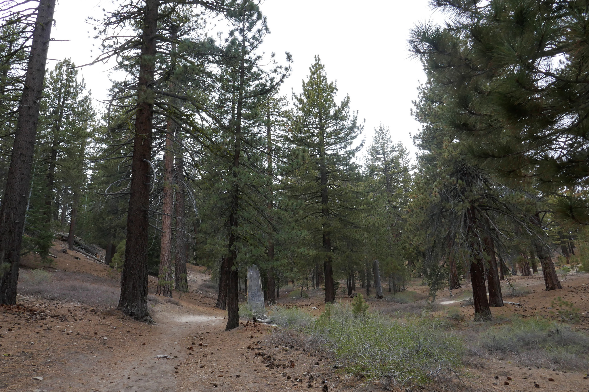
Beautiful pine forests along the route.

The trail then opens up to beautiful meadows sprinkled with pine trees.

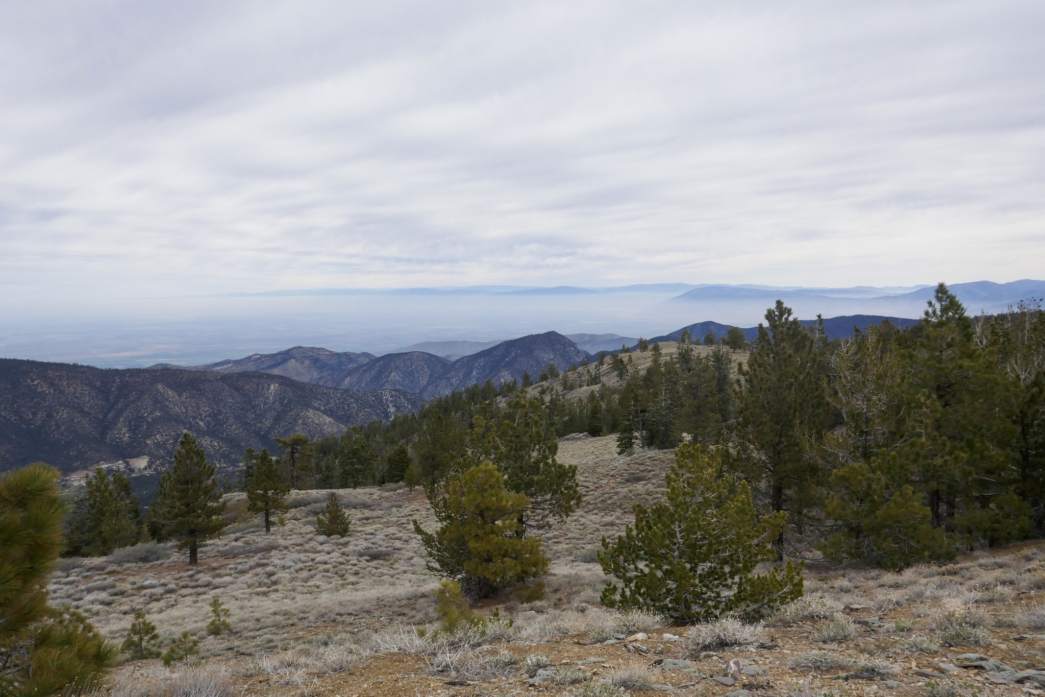
A side road splits off for views of the San Joaquin valley.

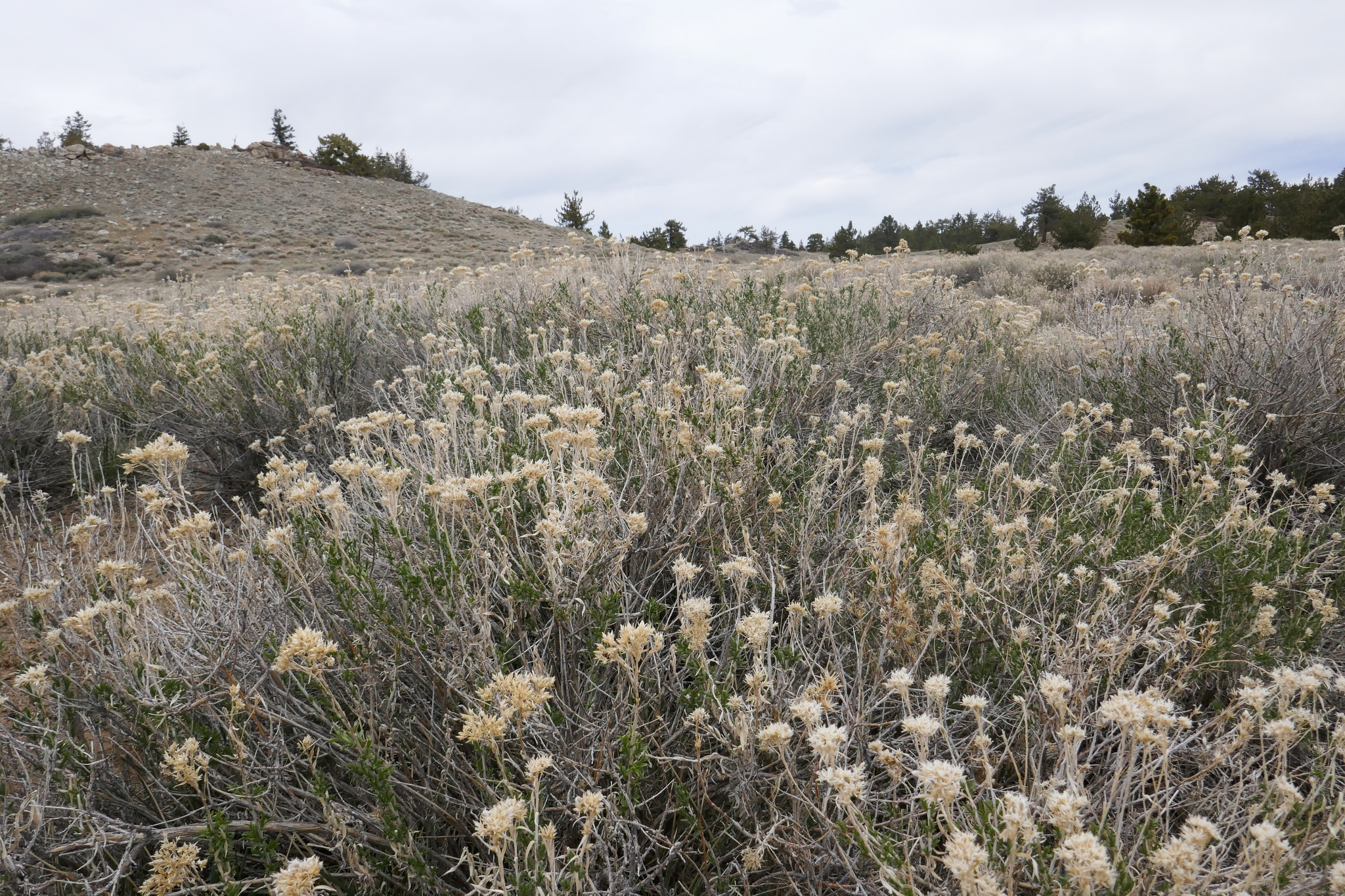
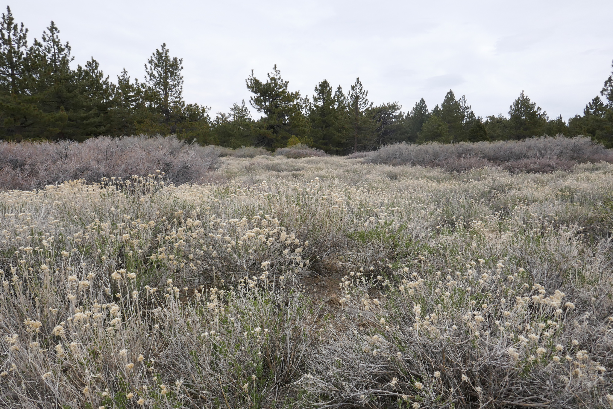
There were lots of these little purple wildflowers, but right now there isn't much else blooming.


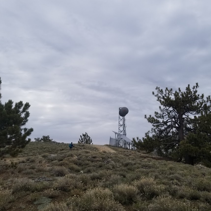
Approaching Mount Pinos.

There are great views from the peak.


Summit marker.

Now heading back along the road.


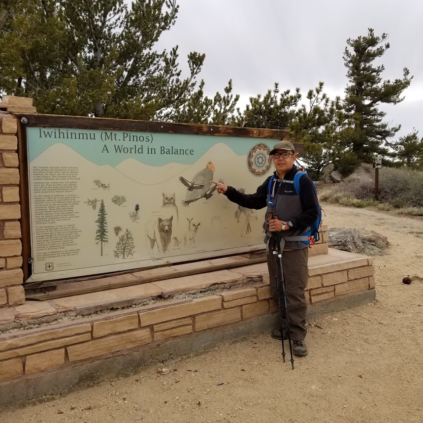
At the Condor Observation Site. The Chumash indians believe that Mt. Pinos was the center of the universe.

From the Condor Observation site, we followed the Vincent Tunamait Trail which was named after a Chumash elder.

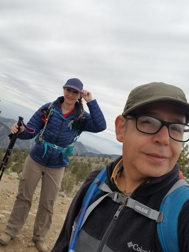
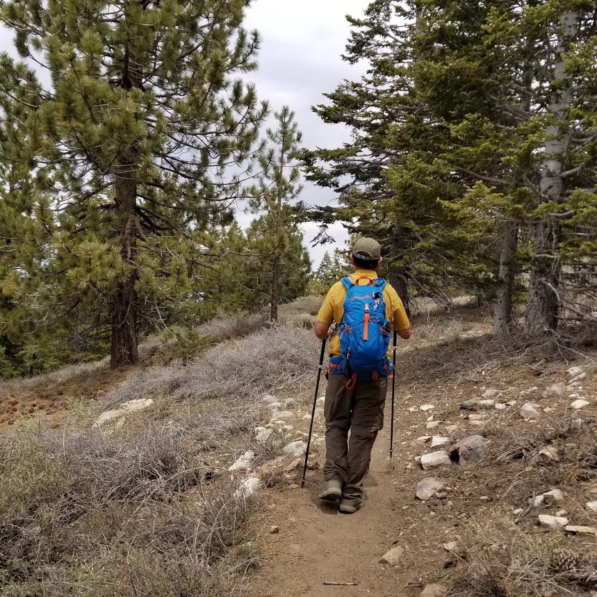
We descended these long winding switchbacks. Great views from here.


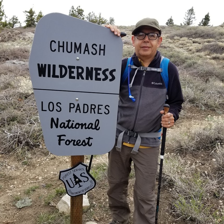
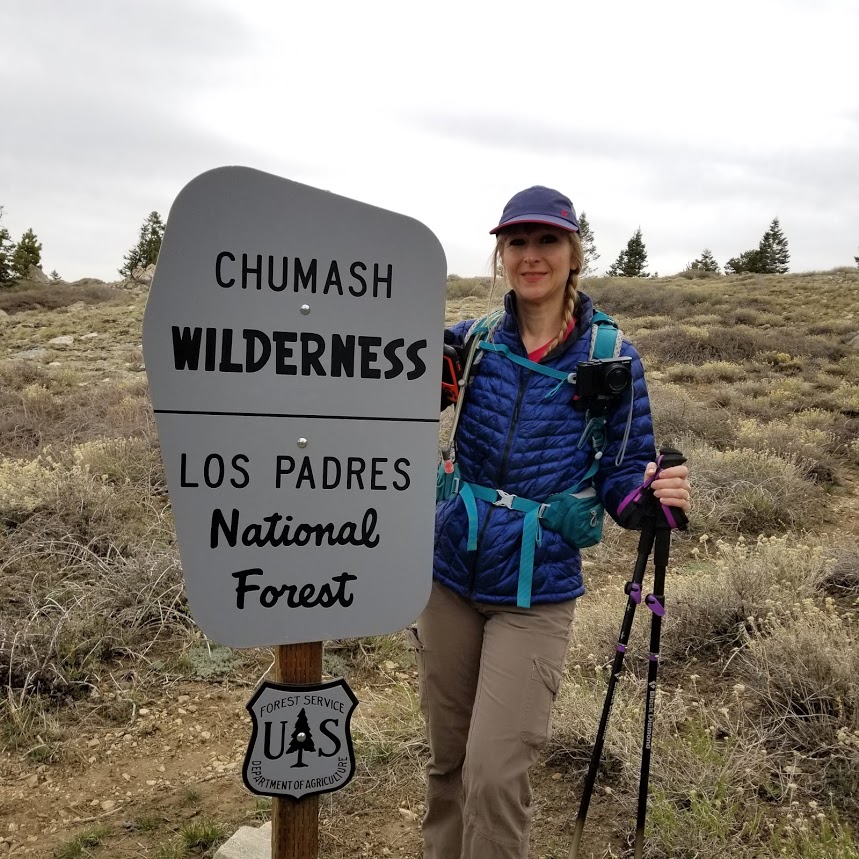
Entering the Chumash Wilderness.


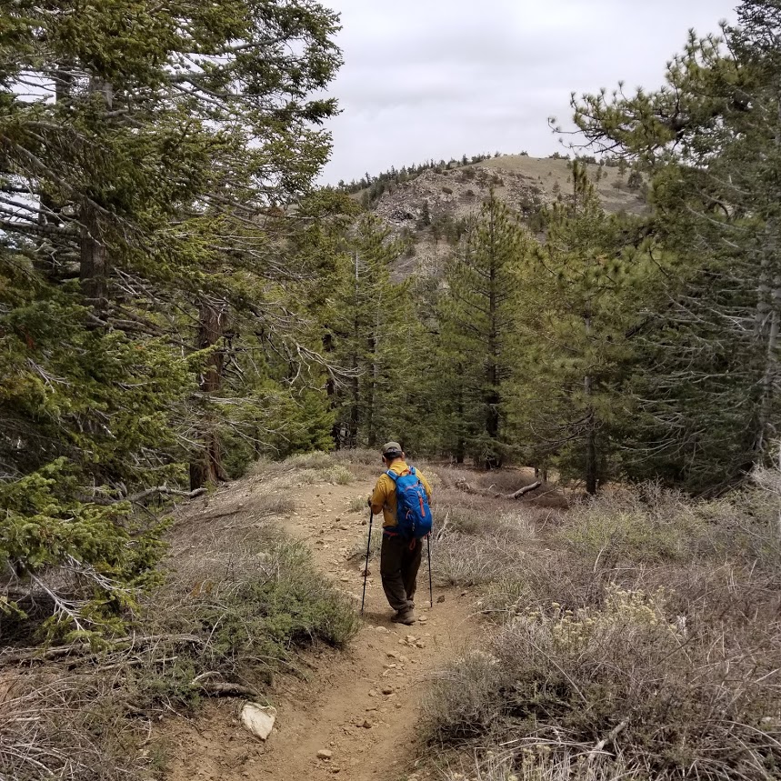
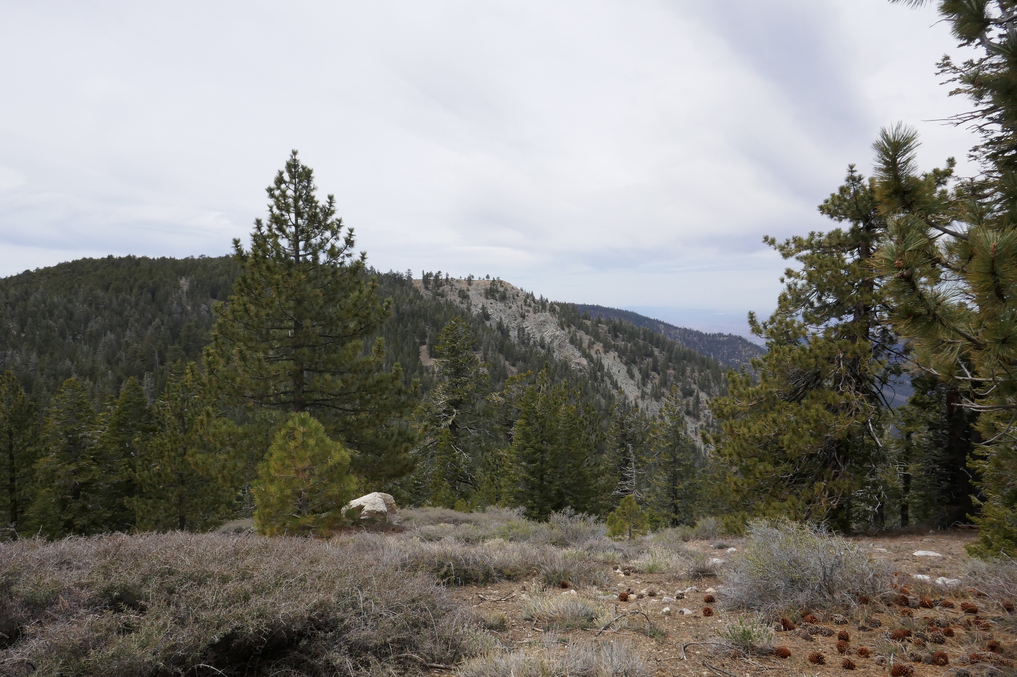
Looking over at Sawmill Mountain. Our next destination.
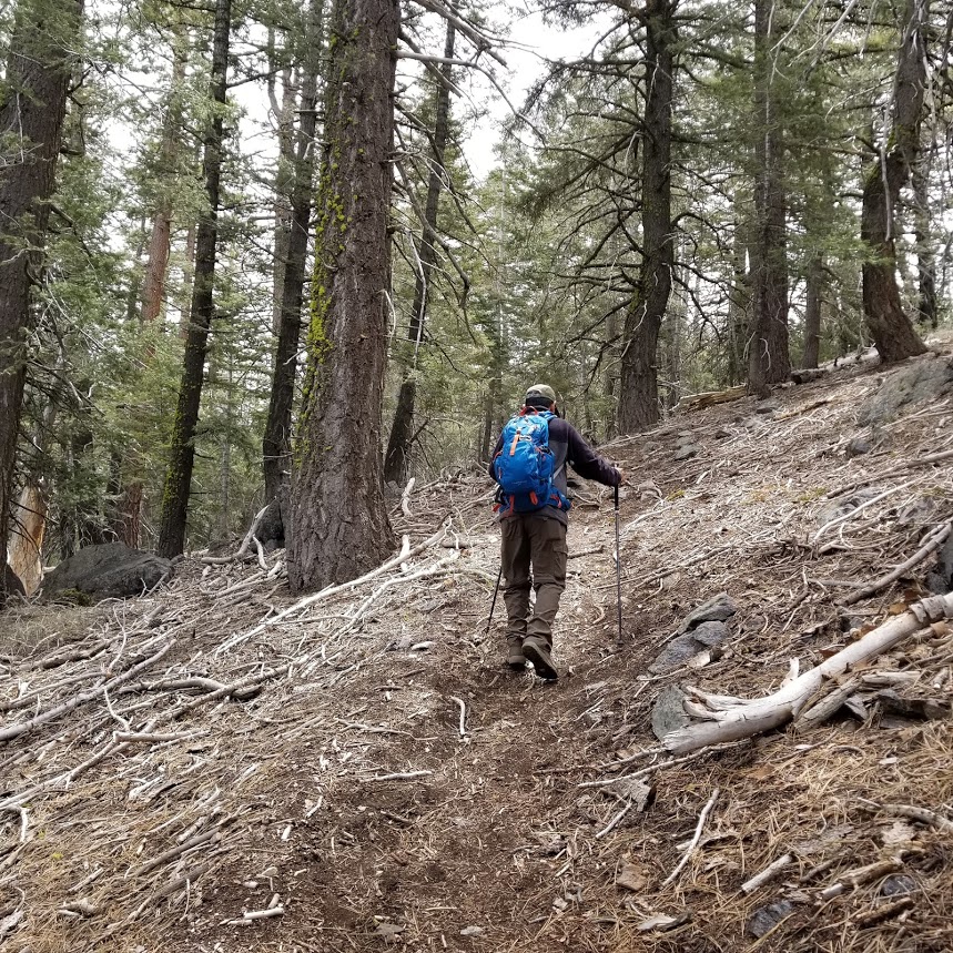
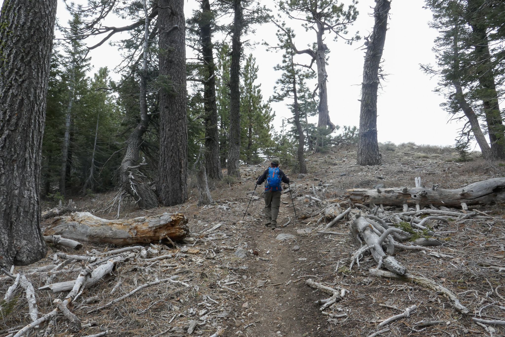
After the long switchbacks, the trail drops steeply downward.

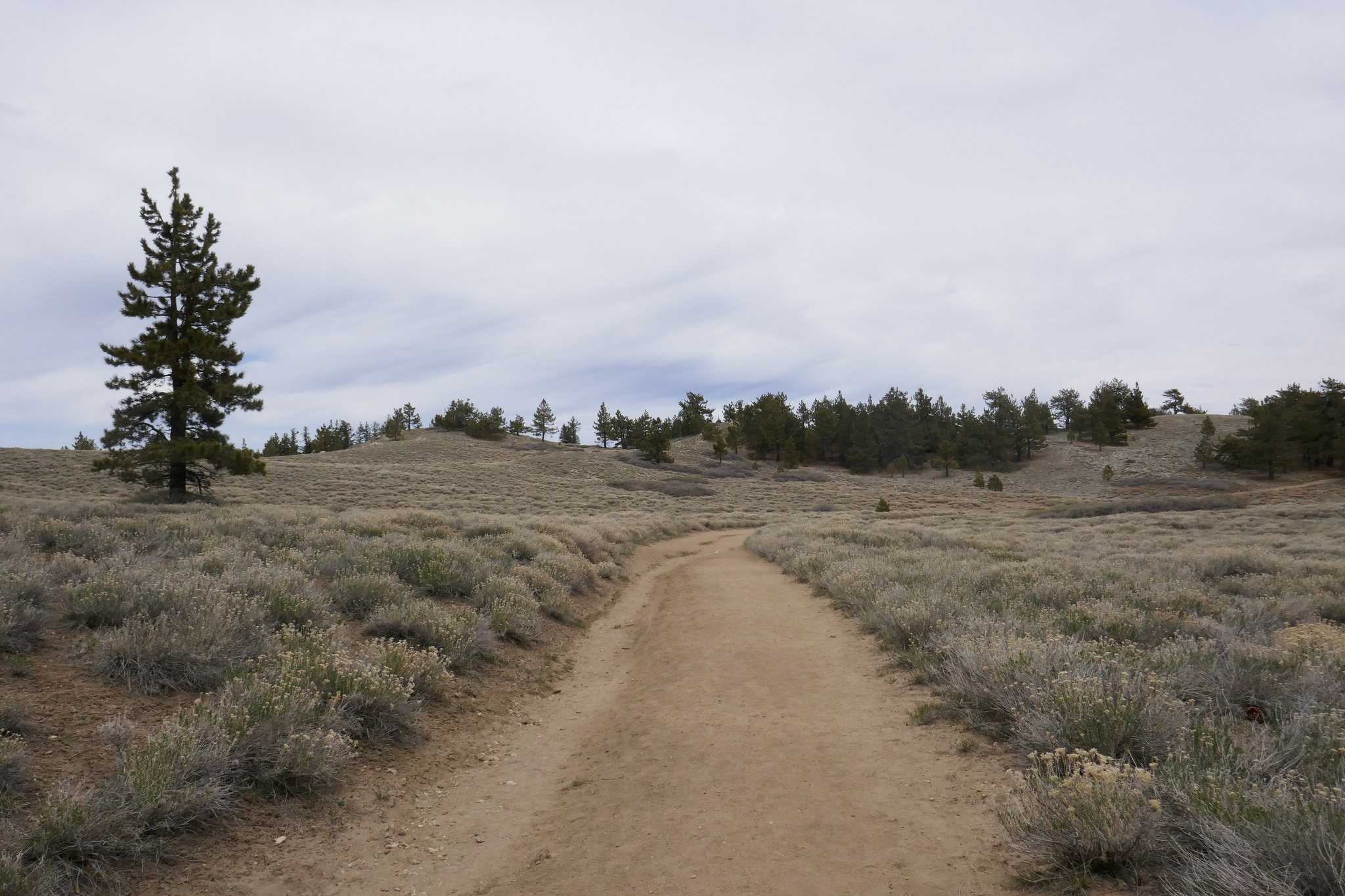
It eventually flattens out.
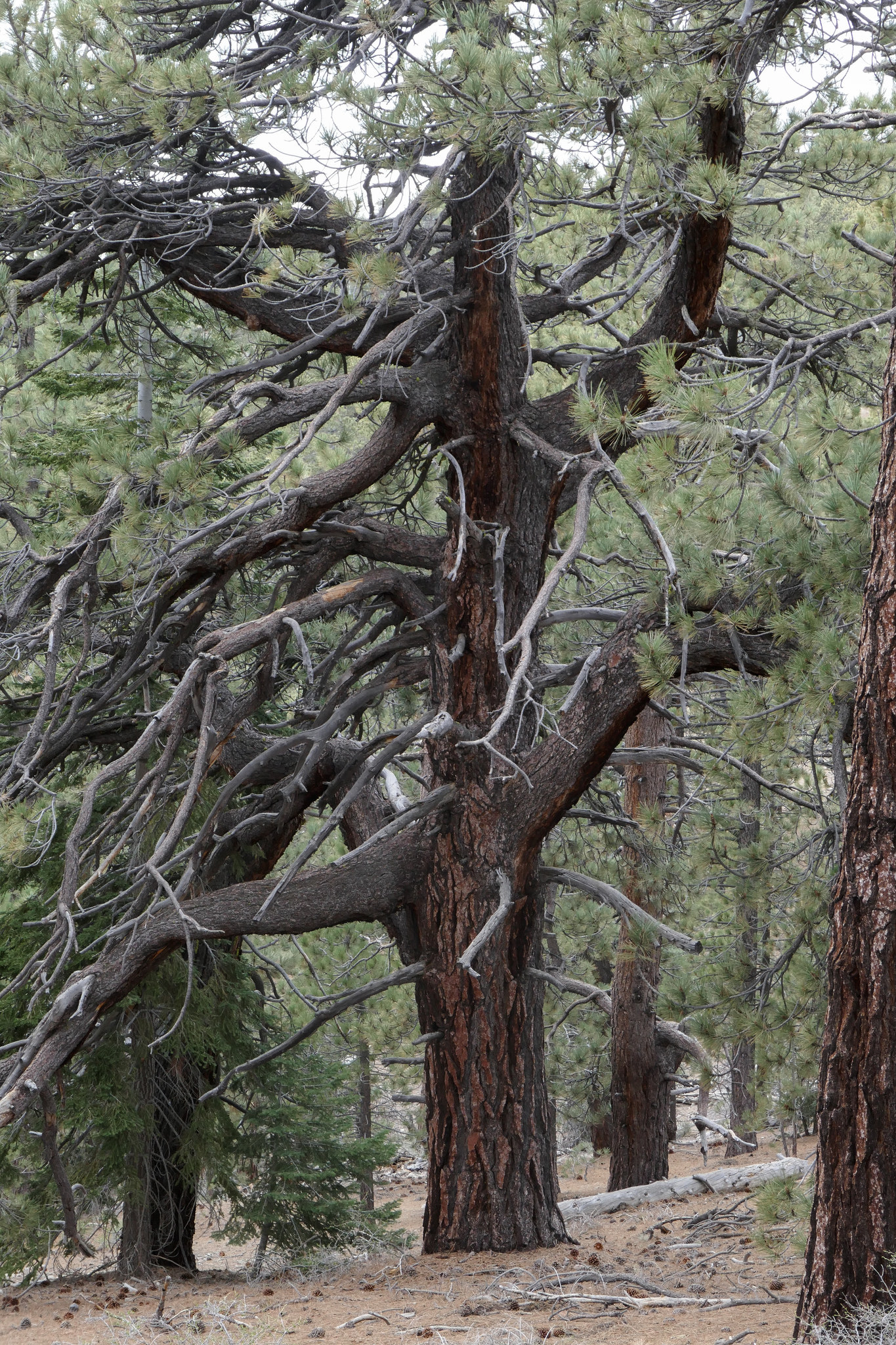
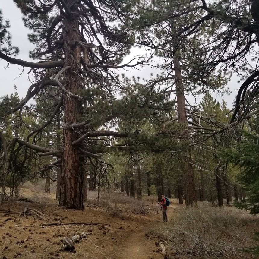
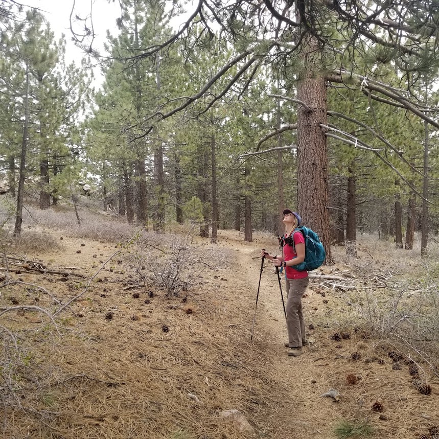
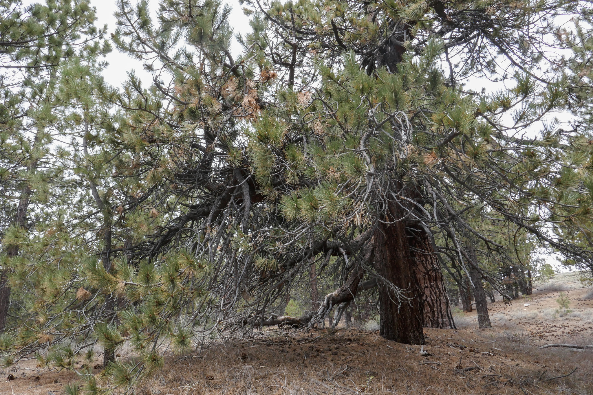
Lots of Jeffery and Limber pines along the whole route. I really enjoy the trees in these higher elevations.


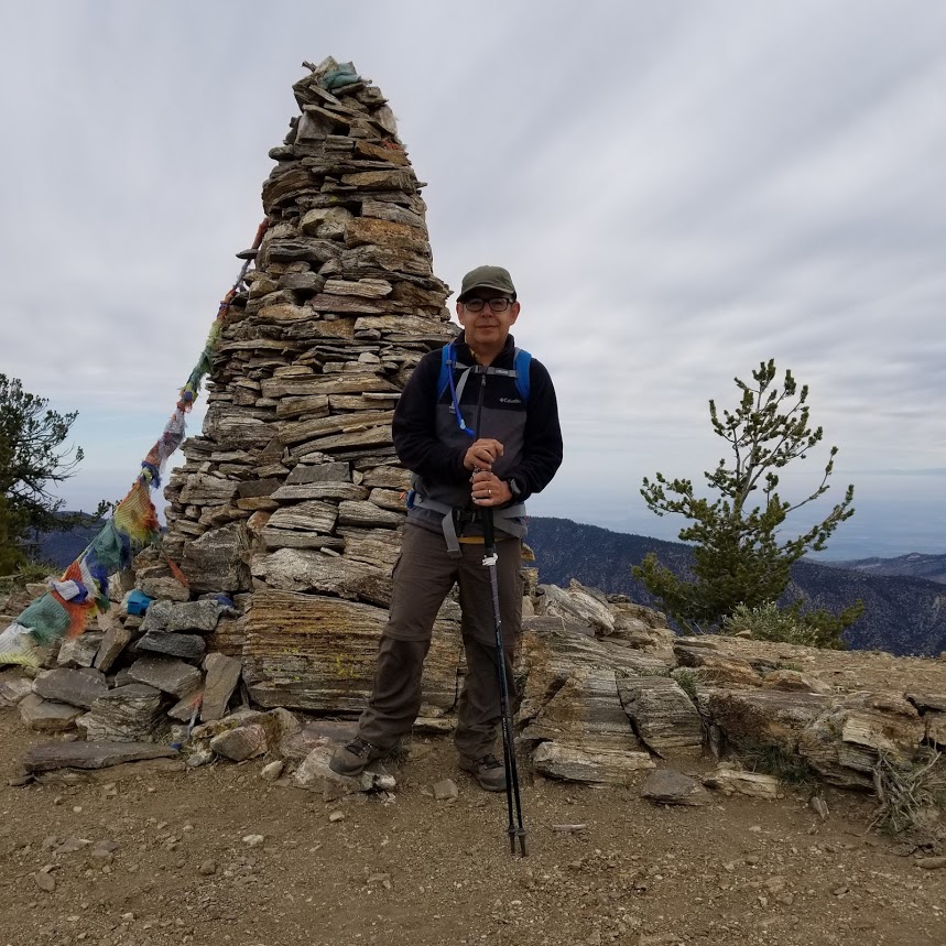
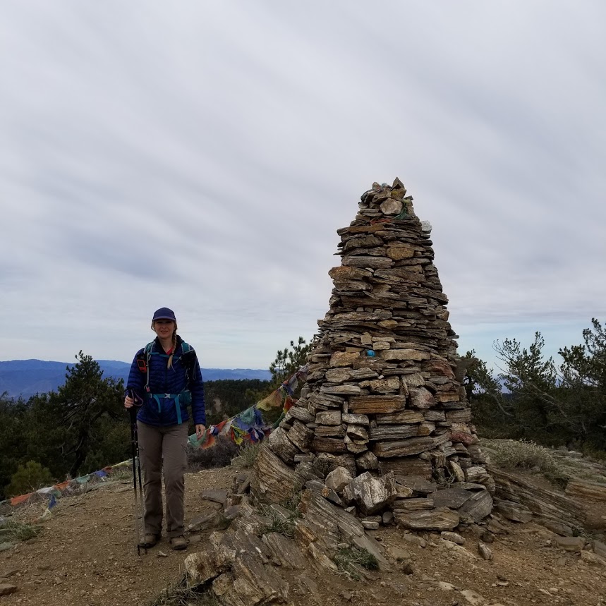
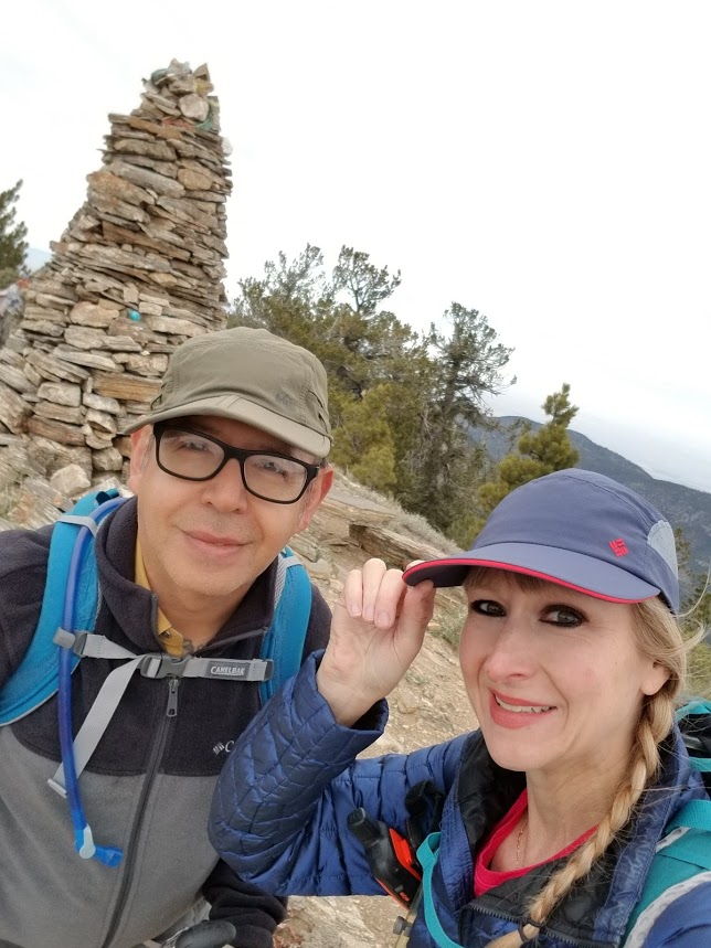
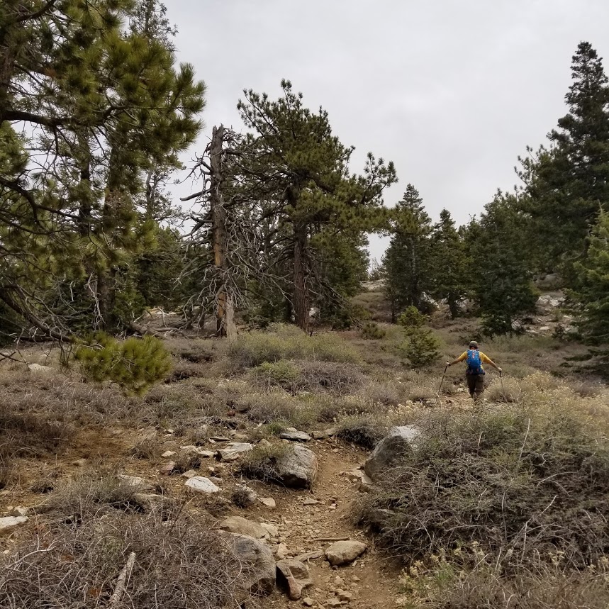
Eventually, the trail splits off and we summitted Sawmill Mountain.

Climbing up to the cairn on top of Sawmill Mountain.

Great views from up here. It was quite windy.


We could see the Sierras! Mount Whitney is in the distance.


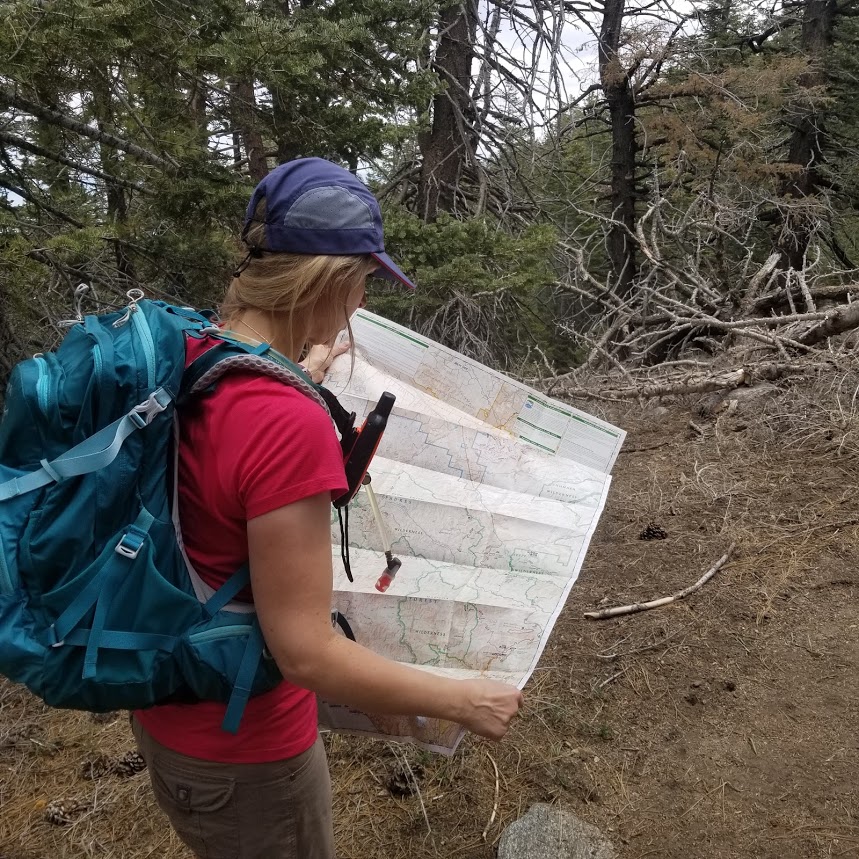
We continued on after enjoying the views on Sawmill Mountain. This is the junction to a few other trails including Sheep Camp.

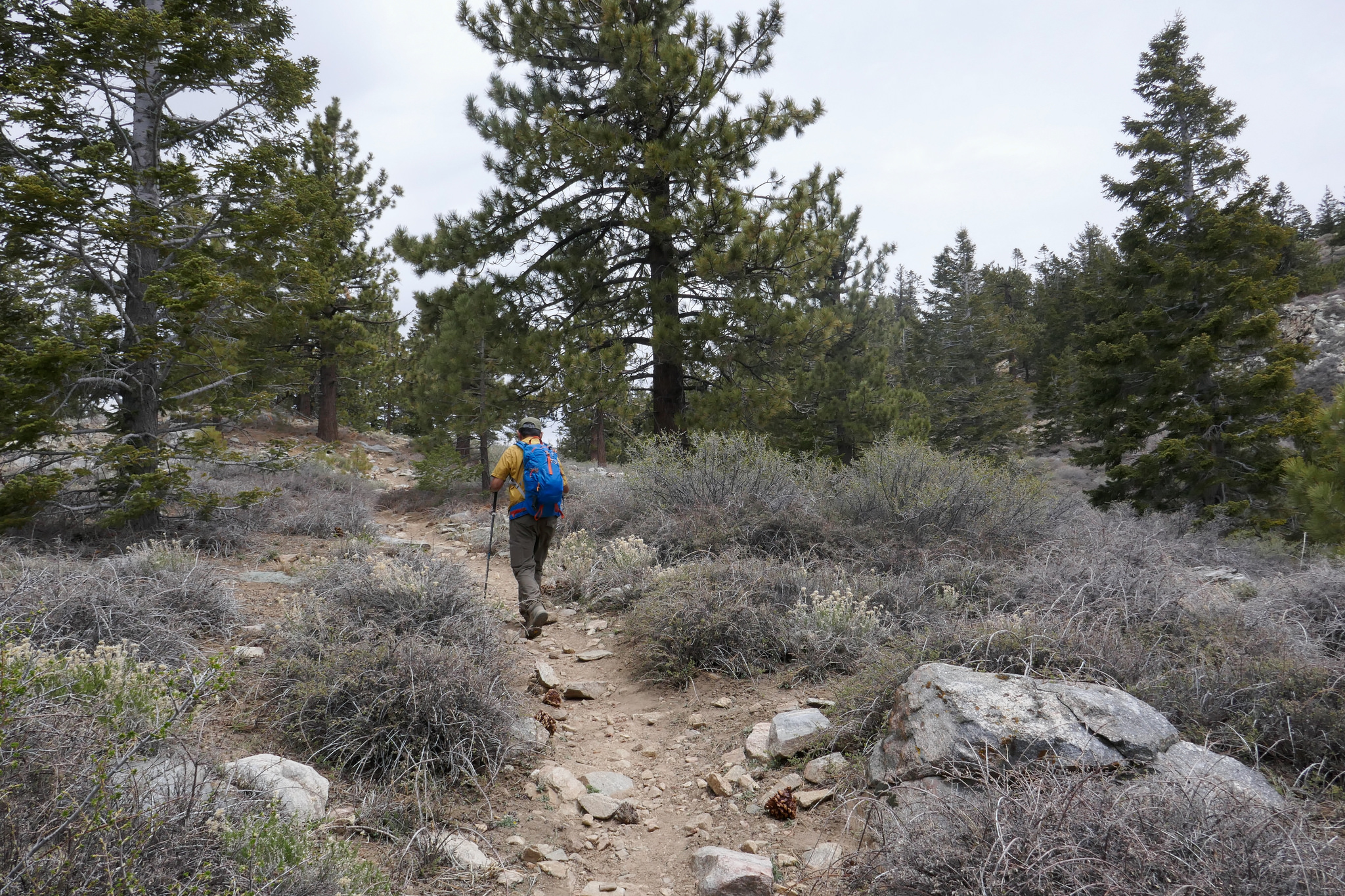
We stayed on the Vincent Tunamait Trail heading west to Grouse Mountain.

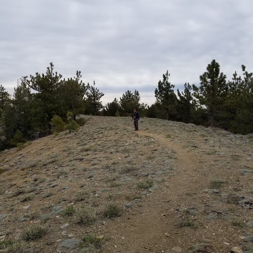
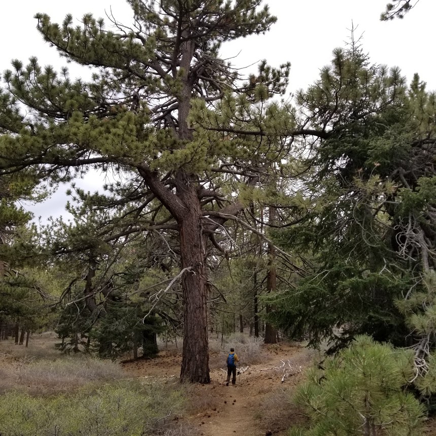
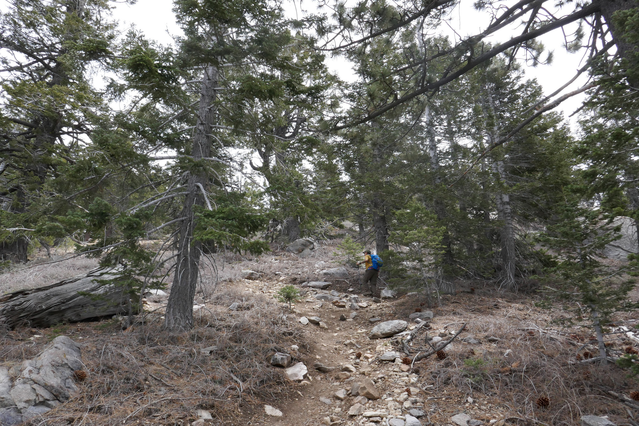
Now heading up to the summit of Grouse Mountain. There's a split to the summit going up. The Vincent Tunamait Trail continues to head down.

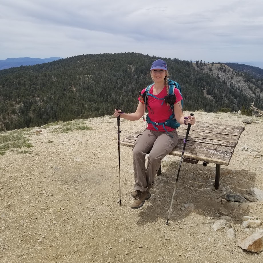
The summit of Grouse Mountain. There's a register here in the can hidden under the rocks.
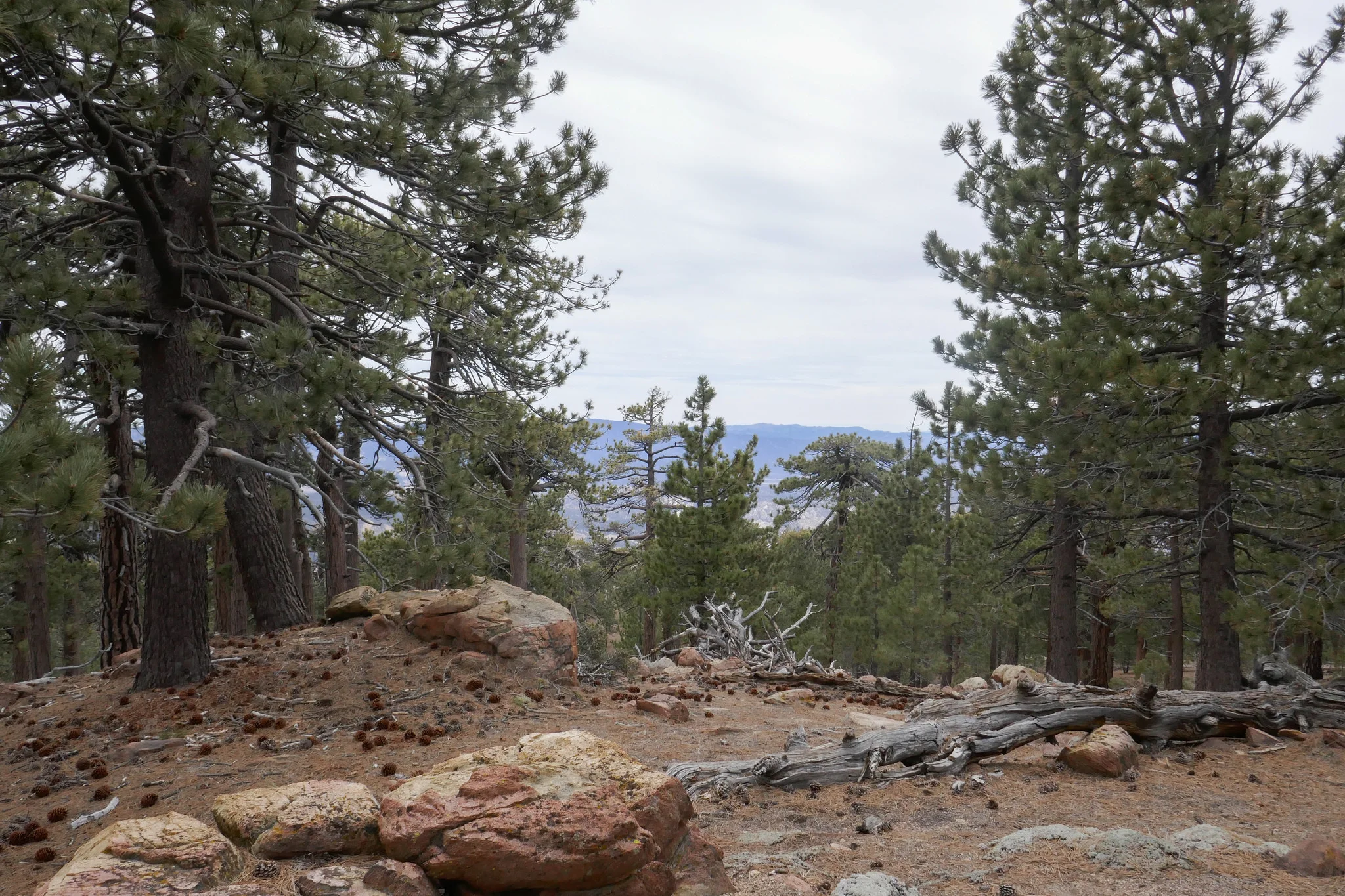
It's a very forested peak so we didn't have the views that we did from Mt. Pinos and Sawmill. It's a very pretty spot to take a break and have some lunch which we did.


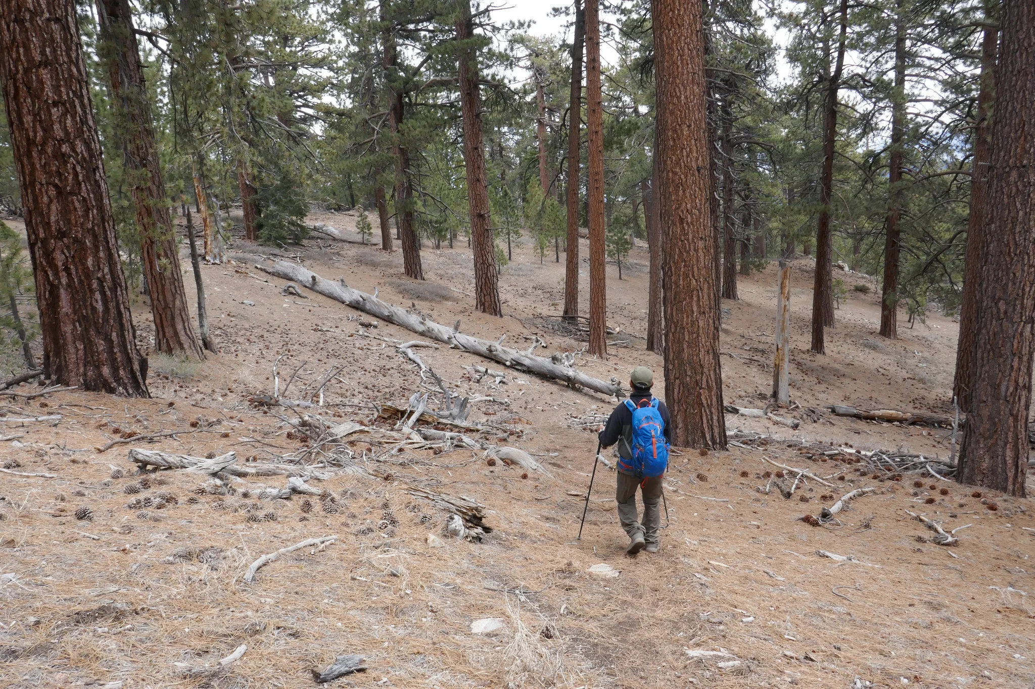
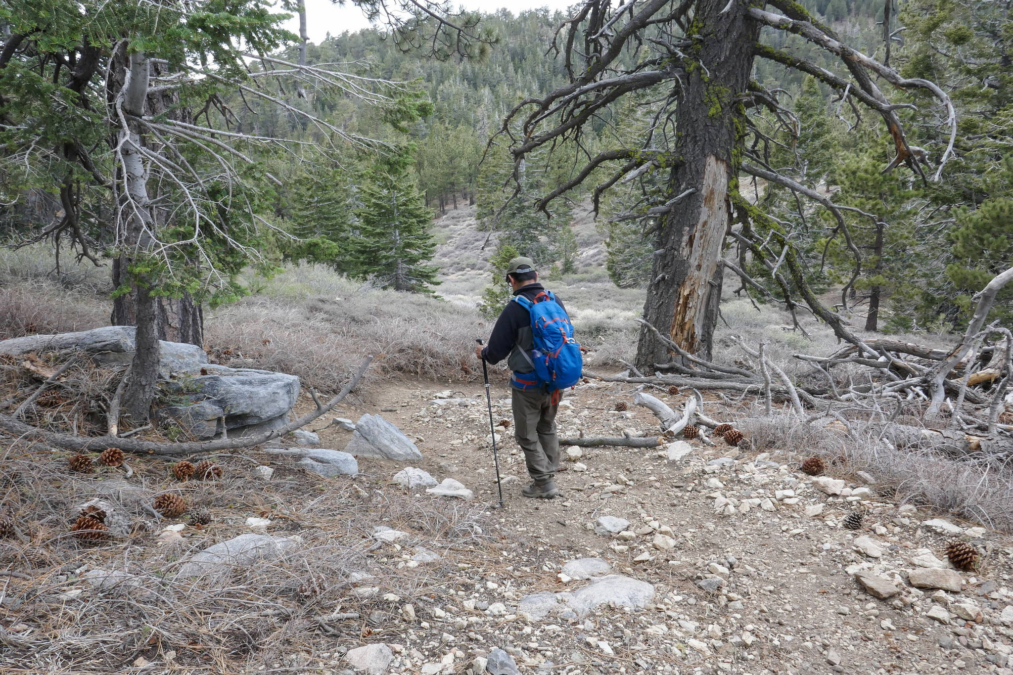
Now heading down Grouse Mountain. The whole trail is covered in soft pine needles.


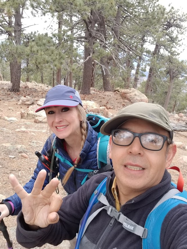
There's a lot of up and down on this hike. Here my husband is climbing up back to Sawmill.


Almost back up Sawmill...

Now down the other side back to Mount Pinos which you can see in the distance. You'll have to climb back up that too. :)


Heading back up Mt. Pinos.
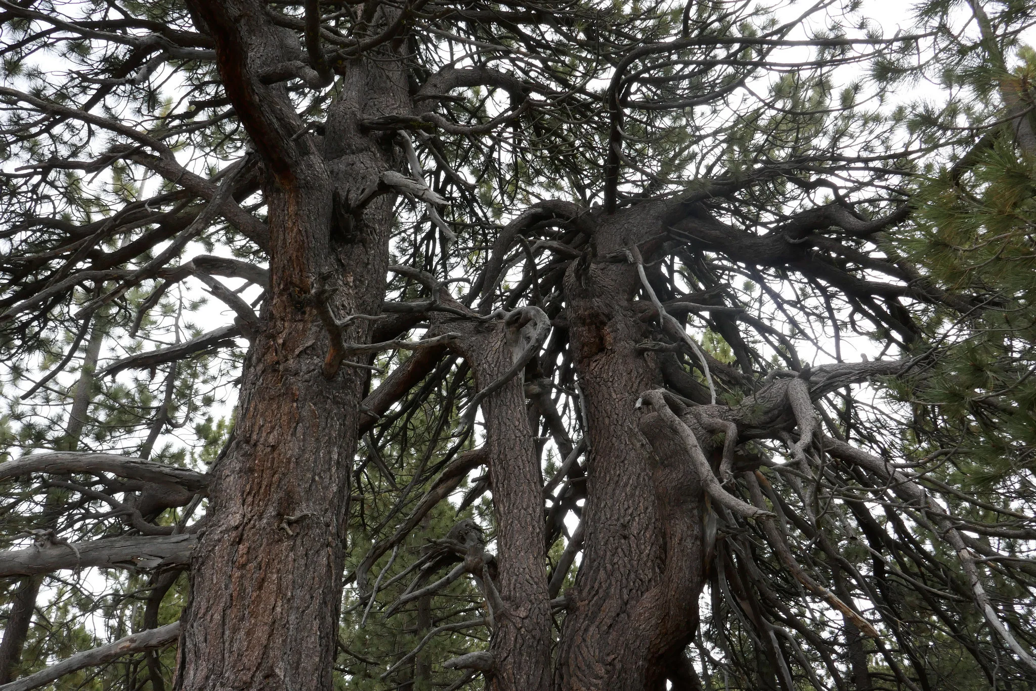
The trees were so grand!


Back on the long switchbacks enjoying the views.
Looking over at Sawmill.

Closer view of Sawmill Mountain. It's always fun to look back and see how high you climbed... after you climbed it!

Continuing up Mt. Pinos on the switchbacks.


View from the lookout at the top of the switchbacks.
Back through the meadows.

I could not get enough of these magnificent trees!

Almost back to the car. It was a very relaxing hike today! I can't wait to explore more of the Los Padres National Forest.