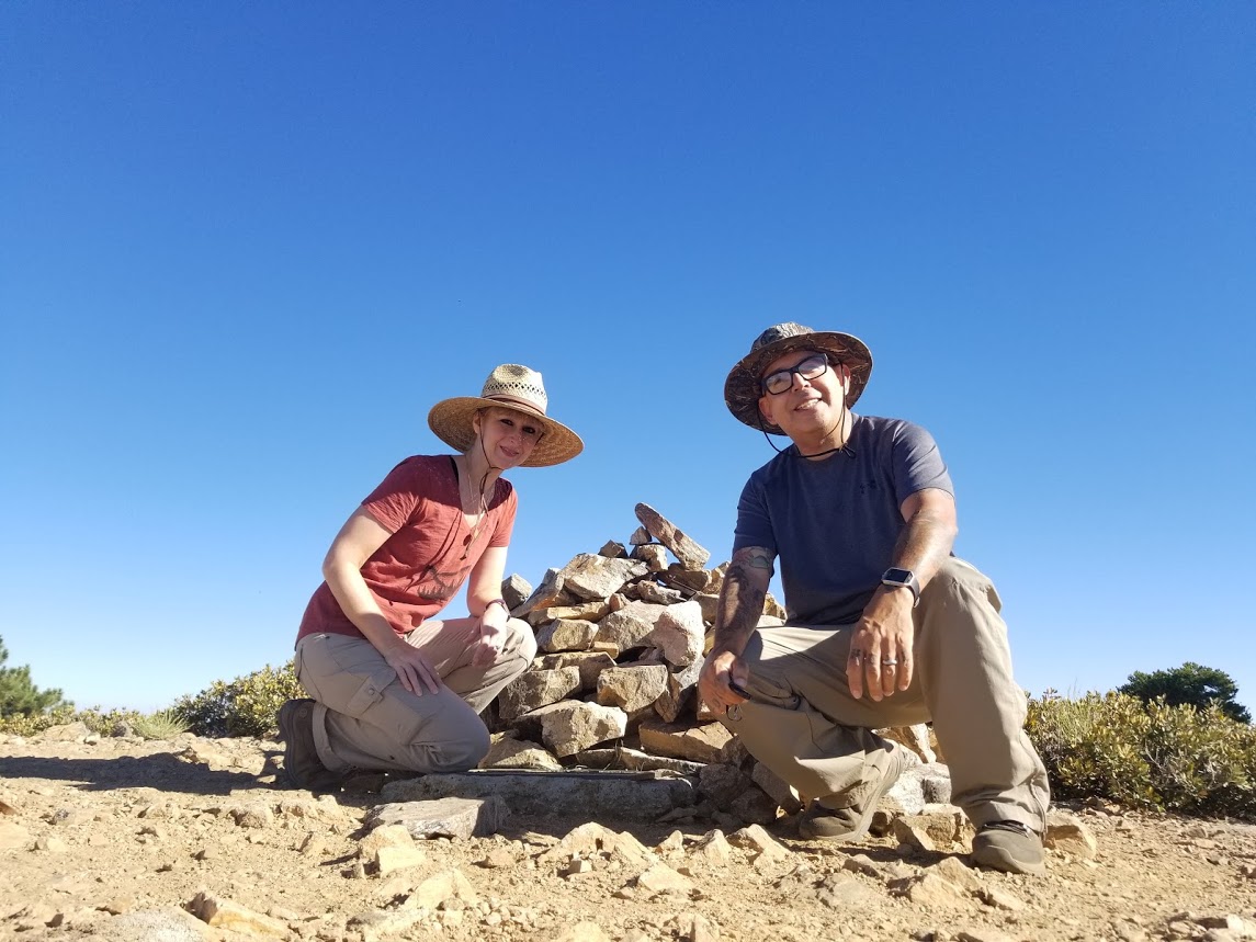
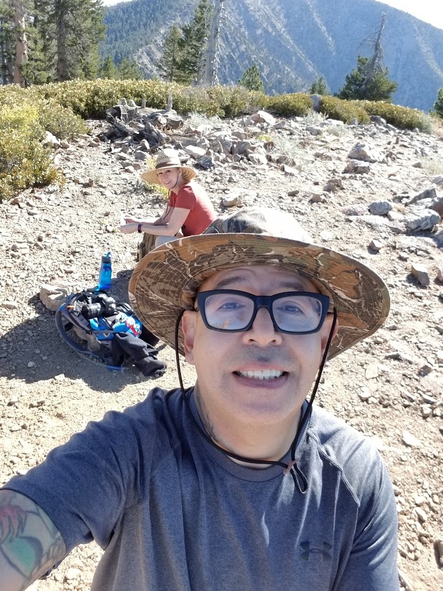
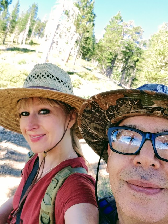
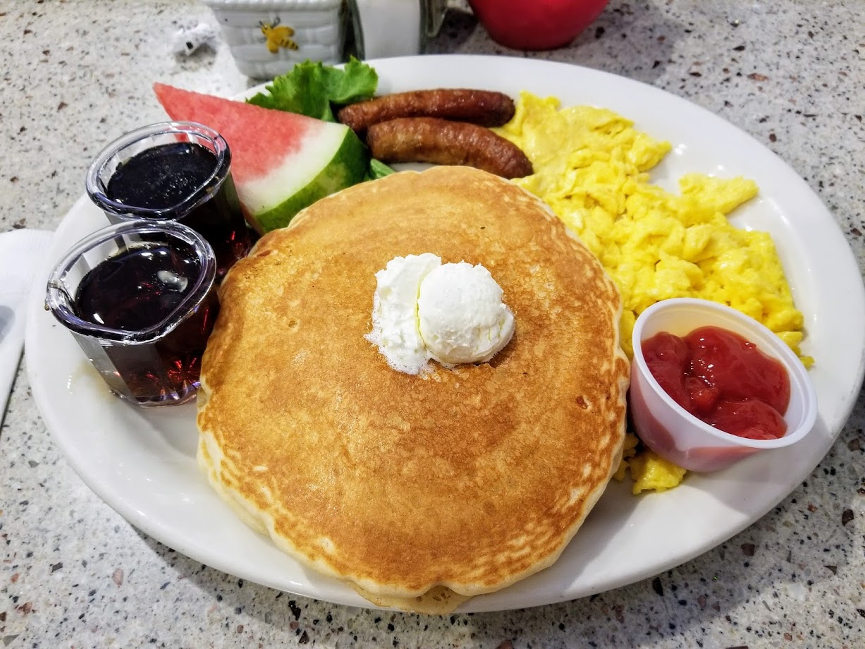
Throop Peak was a short but sweet 4.5 mile RT trek to the summit and back with the option to hop on the PCT and summit Mount Hawkins as well. Throop Peak is named after Amos G. Throop who was the founder of Throop University which is now Cal Tech. Funny things you learn at 9,137 feet! The trail starts off at Dawson Saddle which is the highest point on the Angeles Crest Highway at an elevation of 7,901’. There are actually two trailheads here -- the old route and the newer more “official” route which was built by the boy scouts in 1982. The newer route is located just east of the Dawson Saddle parking area where Angeles Crest makes a southward turn. We came in from the Wrightwood side since they finally opened up Angeles Crest to make it passable since it had been closed since June because of a sinkhole. The first steep, bare switchback of the Dawson Saddle trail is on the south side of Angeles Crest. You can’t miss it. Once you make your way up these first few switchbacks, you’ll quickly be covered in the shade of Jeffery, sugar and lodgepole pines pretty much the whole route. We walked across a beautiful ridge and from there we could see views the Devil’s Punchbowl as well as the Antelope Valley. At about the 2 mile mark, you’ll see a sign for the PCT. Head to the right going away from Mt. Baden-Powell. Shortly after this, you’ll see a fork in the trail. Stick to the right. This is a use trail that’s going to take you to the summit of Throop Peak. When we hiked it was marked with a cairn. The trail will fade in and out and be covered in brush at some places, but it wasn’t hard to follow. The last .3 miles to the summit are steep! Luckily, you will arrive in no time - it goes fast. When we arrived at the top, we chatted a bit with an older gent who looked like he was in his 60s or 70s. He walked up that trail like it was nothing! Then it was just the two of us alone to enjoy the views. We took our photos and selfies and soaked up the scenery for a bit. From here you can see the ridge going to Mount Hawkins. We thought about heading down the southwest side and hopping on the PCT to catch that one as well, but our actual goal today (which I haven’t mentioned yet) was to make the breakfast cut off time at the Grizzly Cafe in Wrightwood. We arrived at the peak of Throop just before 9 am which was a bit later then I would have liked. (Being a photographer, I spend a lot of time on the trail taking photos and that tends to slow things down quite a bit.) So we decided to head back down and try to make it in time for pancakes! Mission accomplished! We walked into Grizzly Cafe at 10:45. Of course later we found out the breakfast cut off was actually 11:30 am and we would have had more time, but that was okay. We had great morning on the mountain topped off with pancakes and lots of coffee!

Parking at Dawson Saddle.

The trail built by the Boy Scouts in 1982 is on the south side of Angeles Crest.

If you see this, you're on the right track.

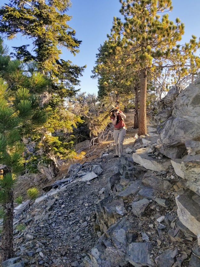
My husband looking at the sun rising up over the mountain.

We walked along this beautiful ridge with great views of the Antelope Valley and the Devil's Punchbowl.


As you climb at about the 2 mile mark you'll see this sign. Stay to the right going away from Baden-Powell.


At the fork, stay right. This is going to take you to the summit of Throop. It was marked by this cairn.

Wildflowers as we approached the peak

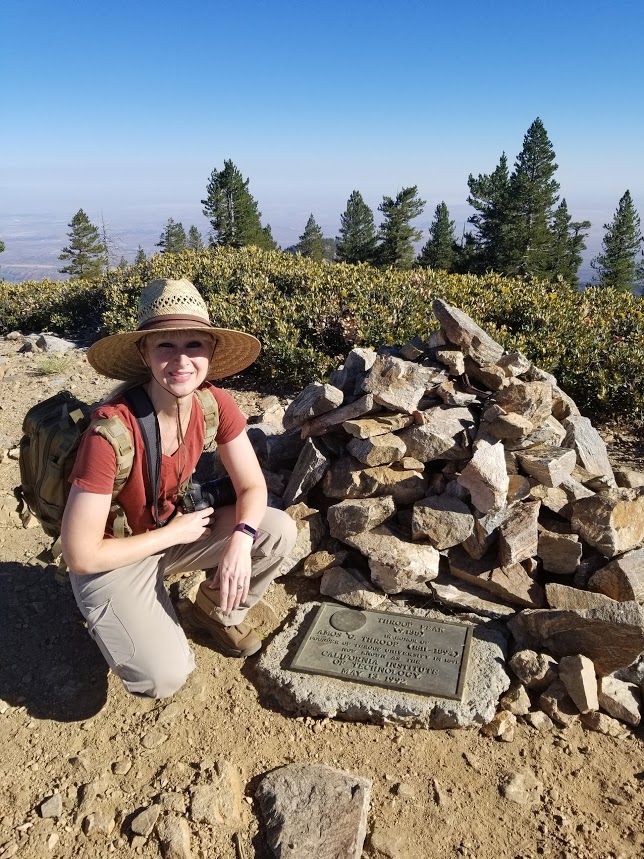
I actually didn't know Amos G. Throop was the founder of what is now known as Cal Tech.


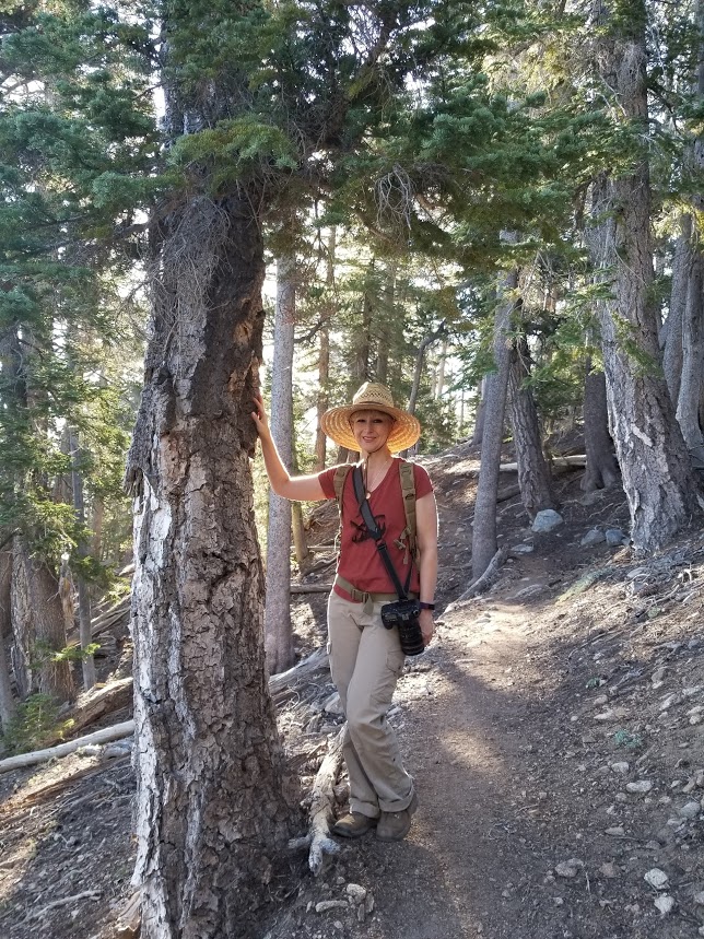
Heading back down.