The push to the summit of Mount Williamson is a rugged climb up a slippery slope. The payoff is the 360 degree views on the barren peak where you can see everything from the mojave desert to the San Andreas rift zone. It was a chilly morning. My car’s external temp gauge was reading 31 degrees as we drove through Angeles to get to the trailhead at Islip Saddle. The summit was cold and breezy but refreshing. It was fun to bundle up and hike! Great morning to climb a mountain! Here are some photos I took along the journey.

Started off on the PCT Silver Moccasin Trail at 7:08 am.

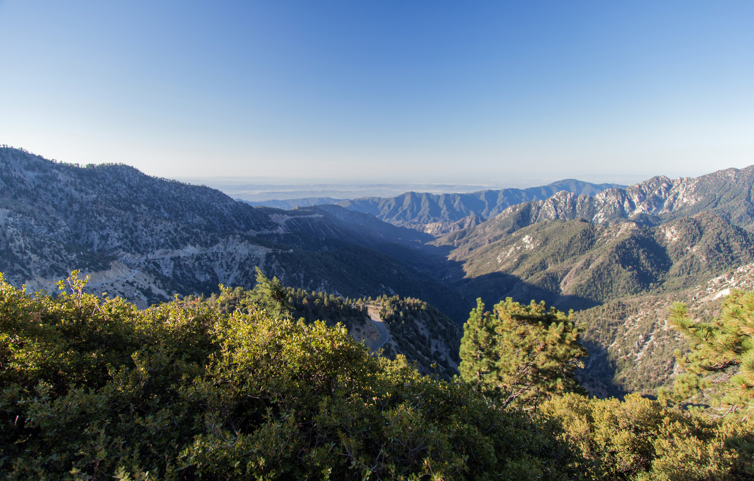
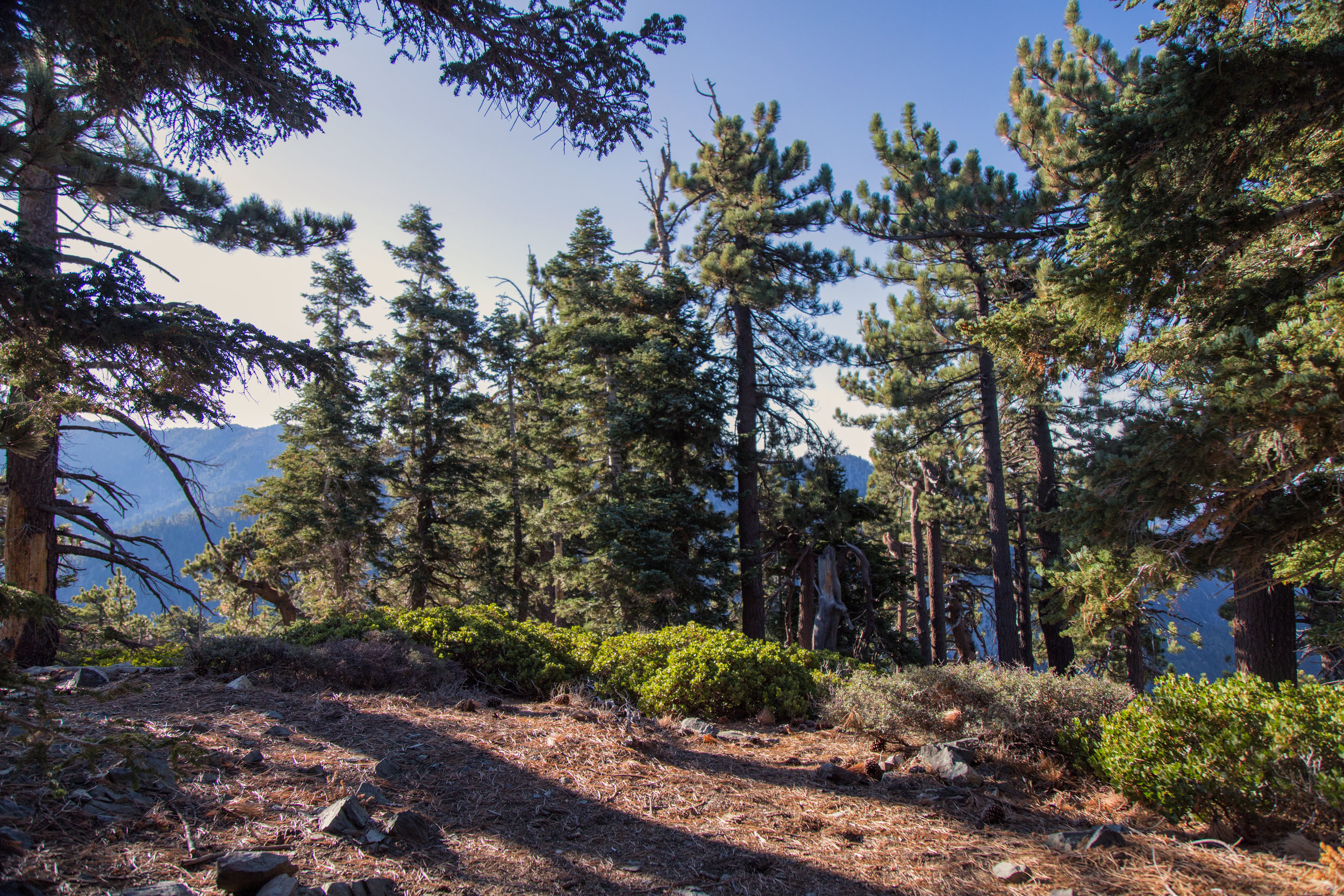
We had great views from the start of the trek and they continued through the whole route.

Morning sun through a pine on the PCT.


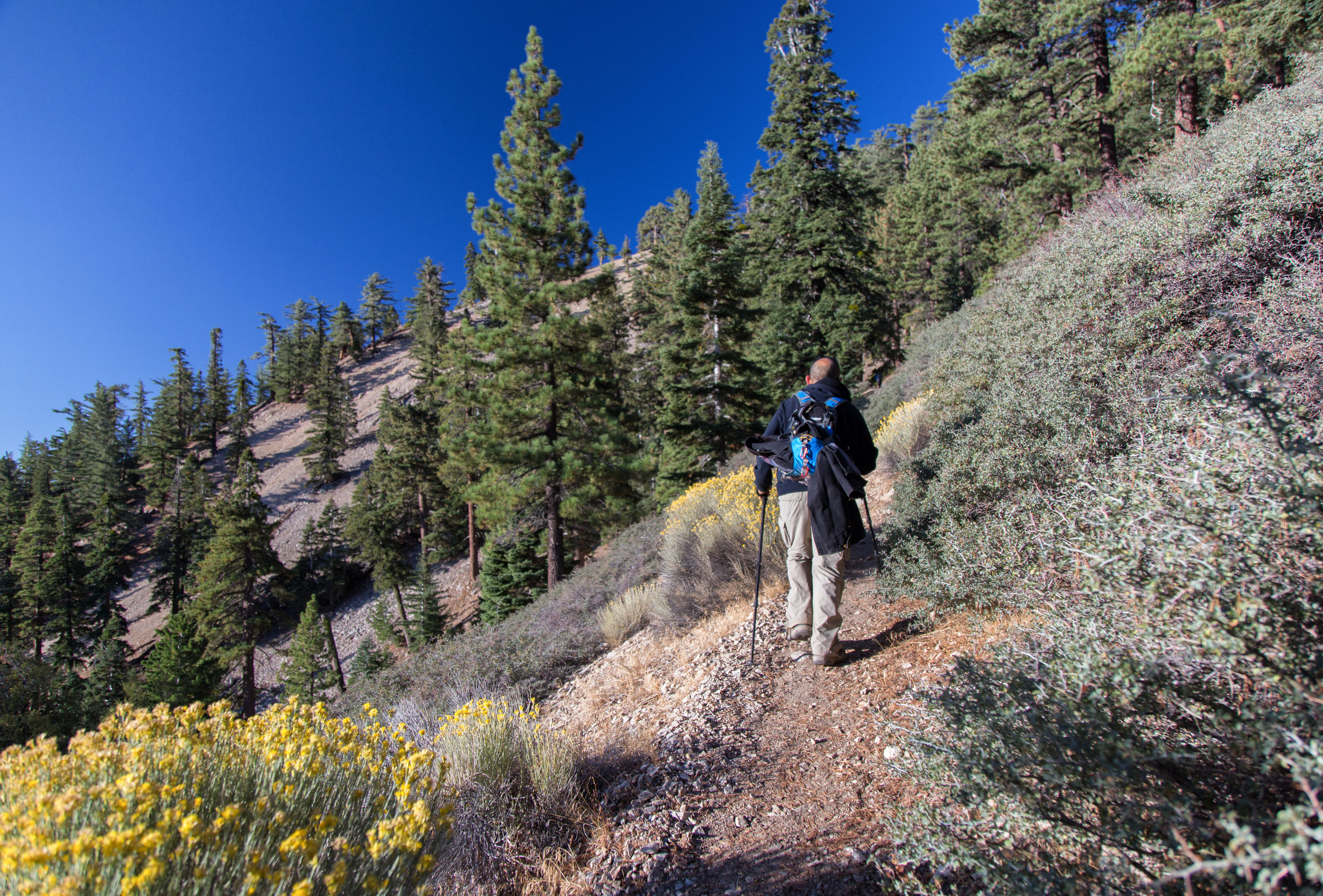
It's a steady climb right from the start, but nothing too strenuous.

Looking back at Mt. Islip. We hiked that trial to the peak in August. A lovely hike.

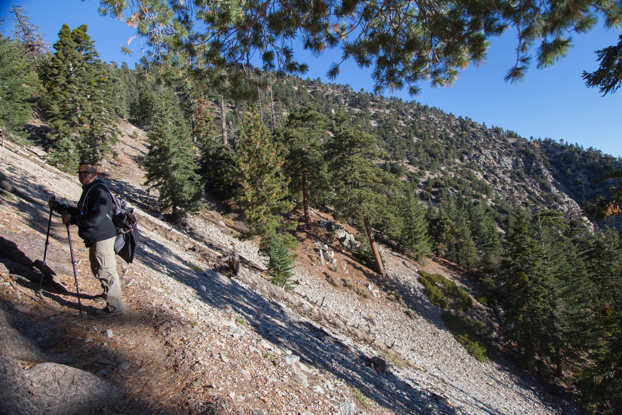

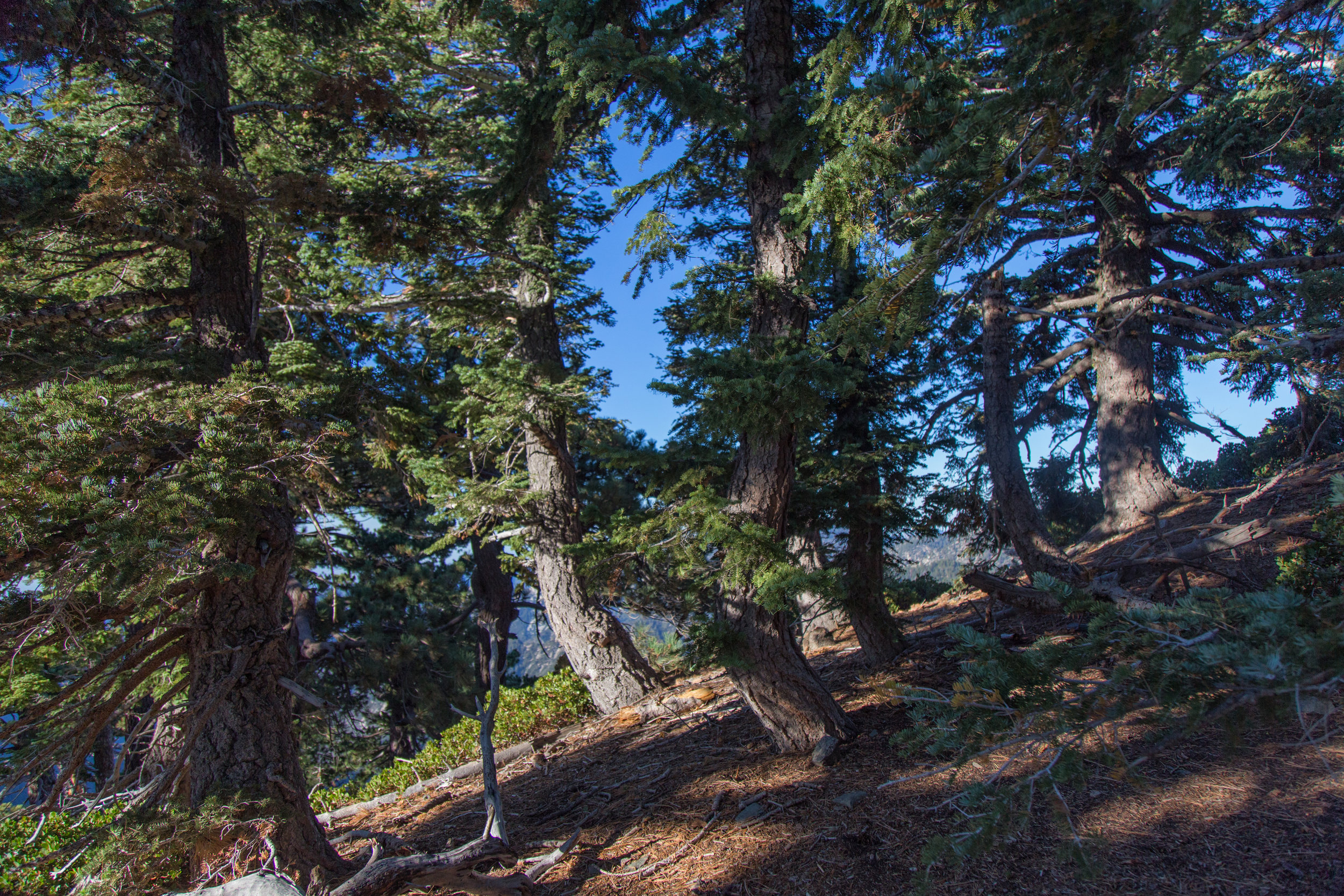
A few parts of the trail are on rock so you need to be a little careful.
The golden rabbit brush is still in bloom.

More rocky terrain.


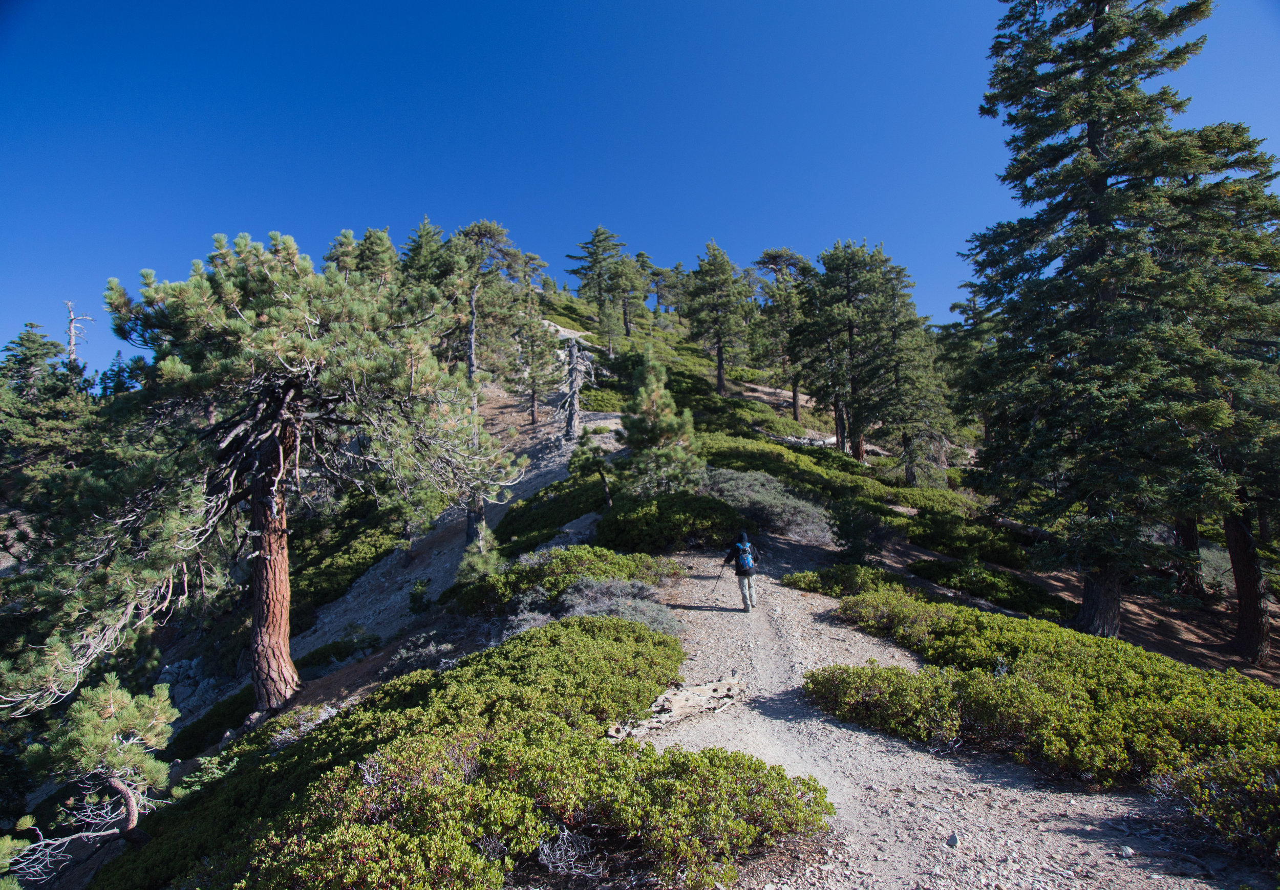
As you get closer to the split between the PCT and the trail to the summit, there is a spur trail that takes you to a little pine grove. I climbed up and took some photos. It's a nice place to stop and take a break or have a picnic.

This is where the fun began. The trail got much steeper and we began our ascent onward and upward to the summit.

The final trek to the summit is all loose gravel and scree. It's quite a slippery slope, but it's totally doable if you just watch your step.


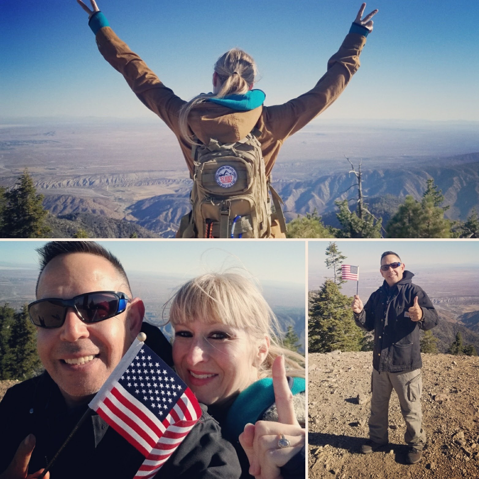
Made it to the summit! Since there are no trees, there's a wonderful 360 degree view of everything from the lush, San Gabriel mountains to the mojave desert to the Devil's Punchbowl and the San Andreas rift zone!


What goes up, must come down.

Had to be extra careful on this steep part where the rock is loose. We just took our time.

Looking back at the mountain we just climbed.