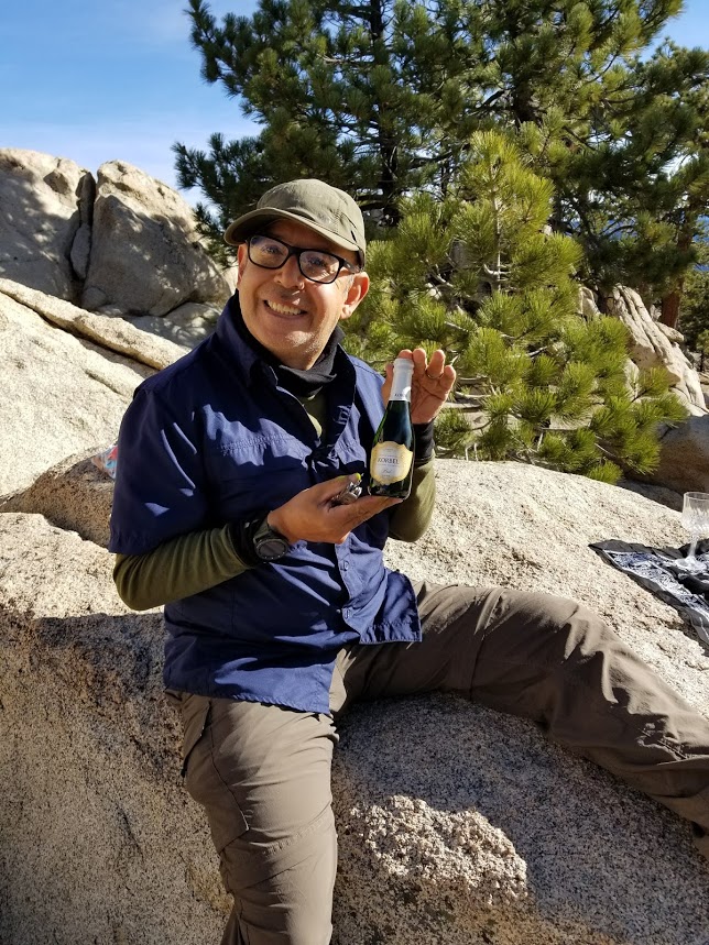
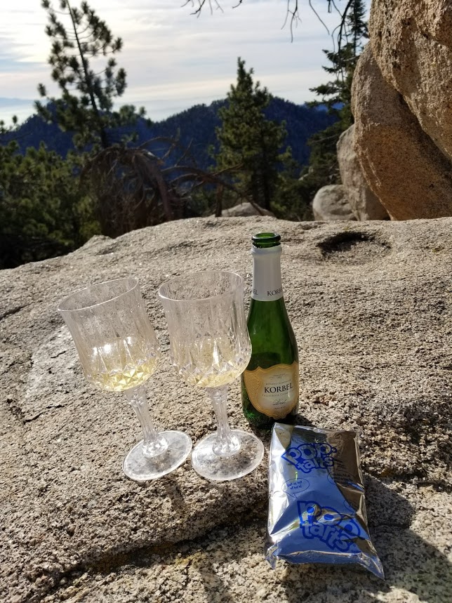
Celebrated New Year’s Day by hiking to the top of Waterman Mountain. The Waterman Trail takes you along the edge of the San Gabriel Wilderness and has beautiful views of Bear Creek Canyon and the surrounding mountains. It's a very pretty trail with lots of pine trees and interesting rock formations. Around 8:15 am we heard the roar of the Stealth Bomber and its escorts. They flew right over Angeles National Forest which was really cool to see. At the summit, we had a champagne toast and took a little nap on the boulders in the warm sunshine before taking our time going back. It was nice, relaxing hike and a great start to 2018.

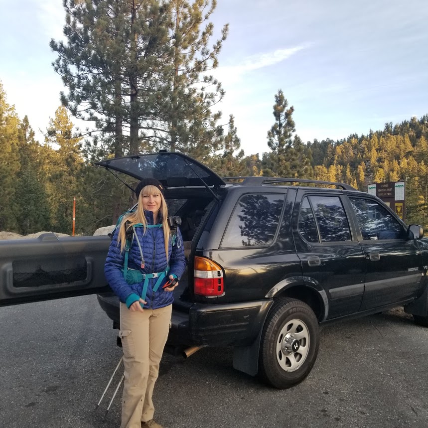
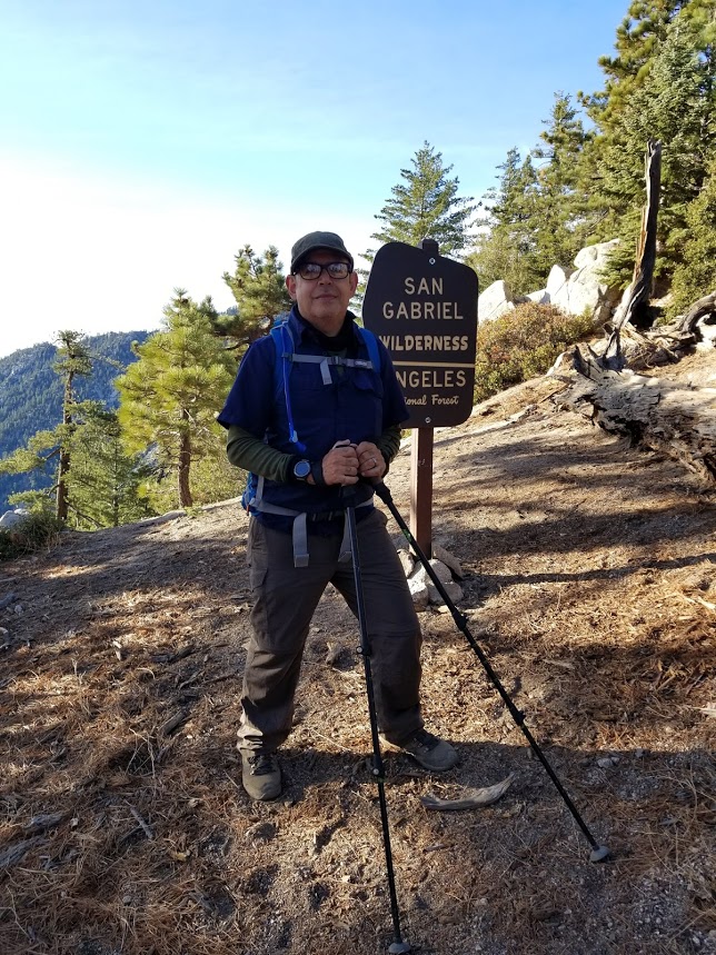
Getting ready to start the first hike of 2018.

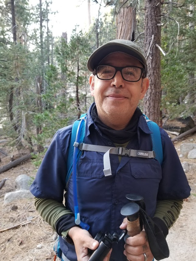
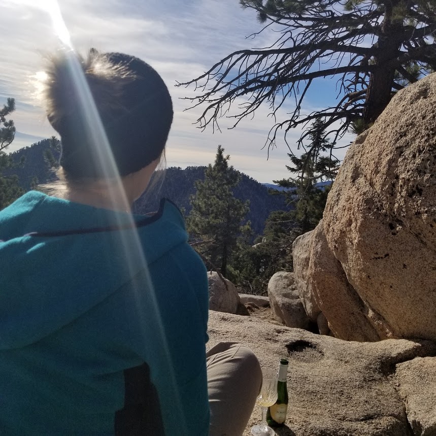
My weird husband.

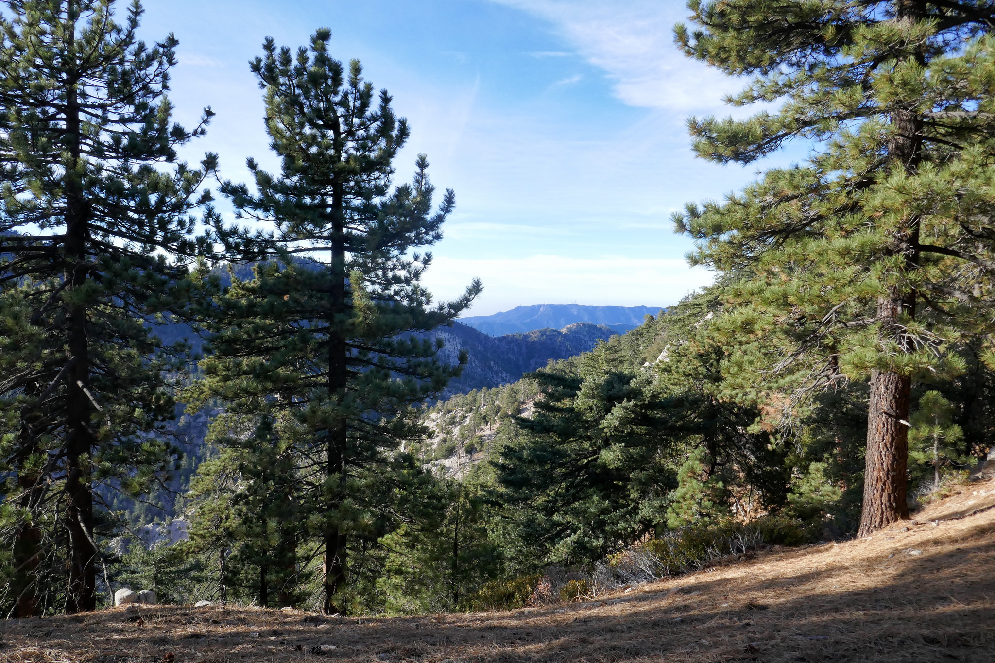
Beautiful mountain ahead of us.

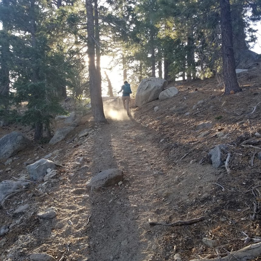
Most of the trail looks like this. It's beautiful.
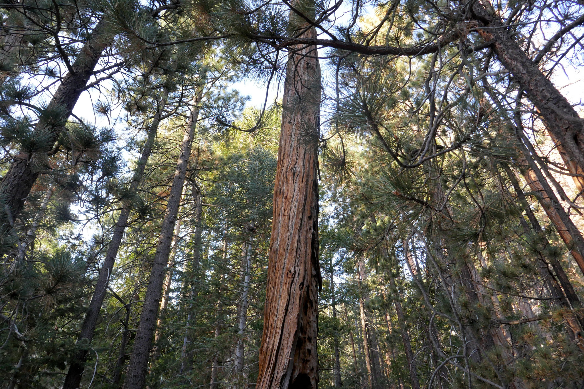
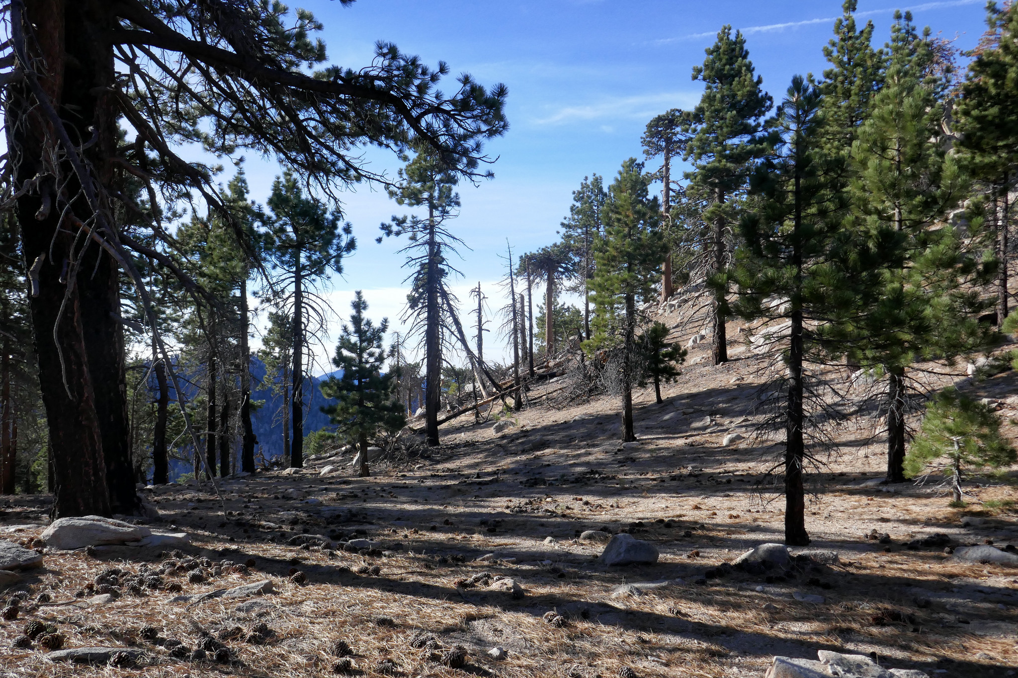
Lots of pine trees.
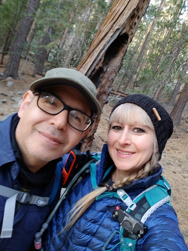
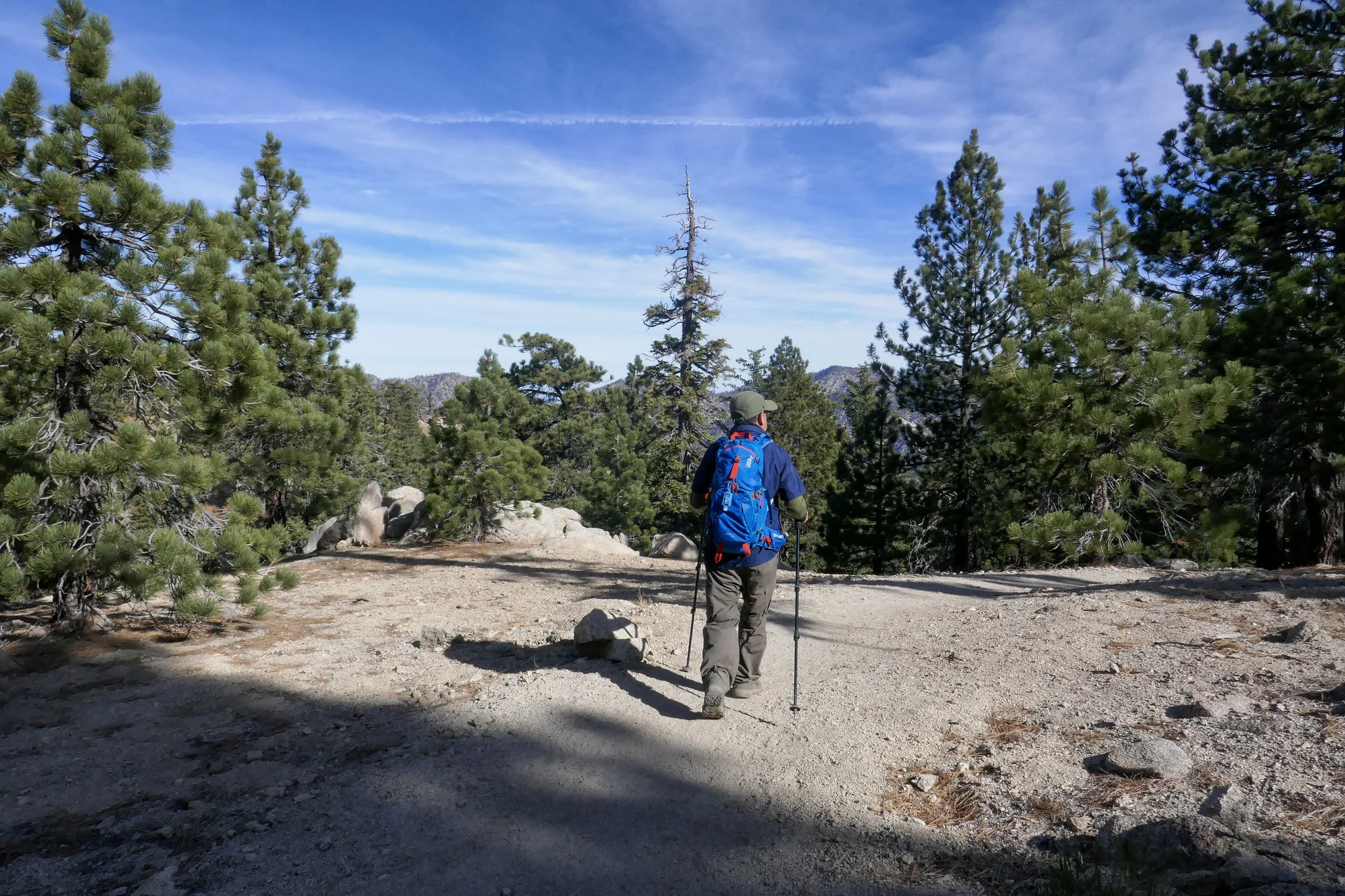
Enjoying the trek.
Climbing up.

Views.

Pine cone.

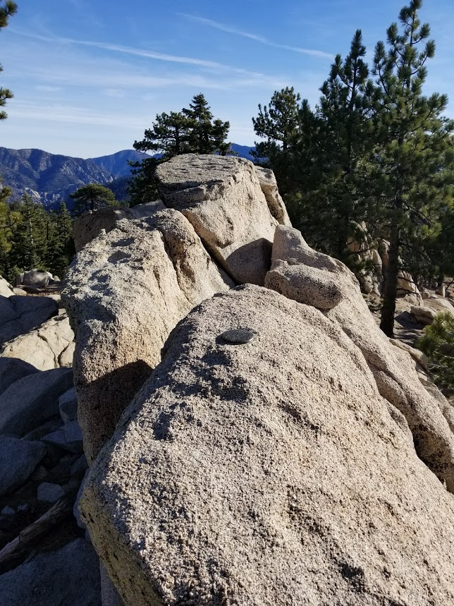
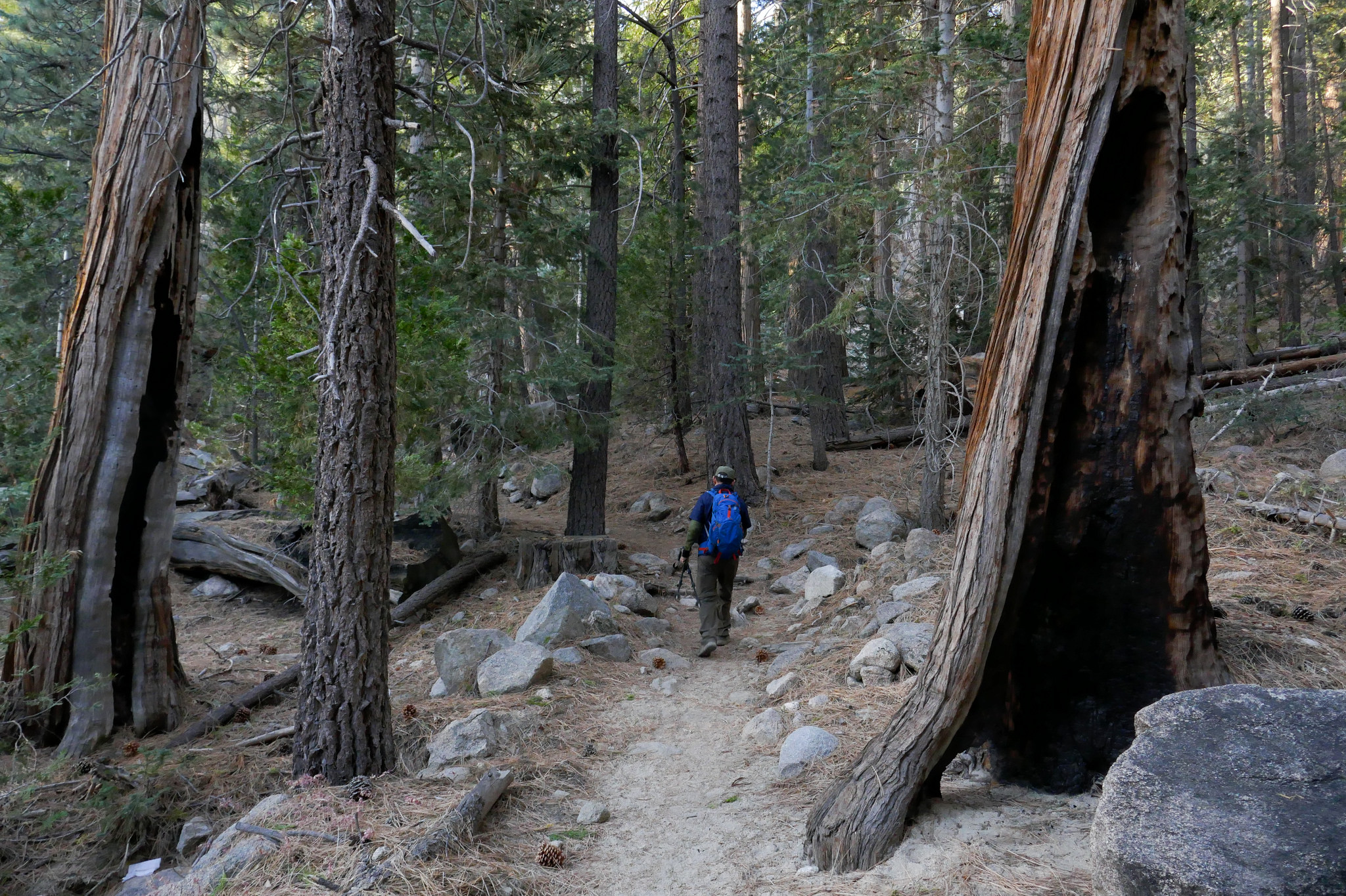
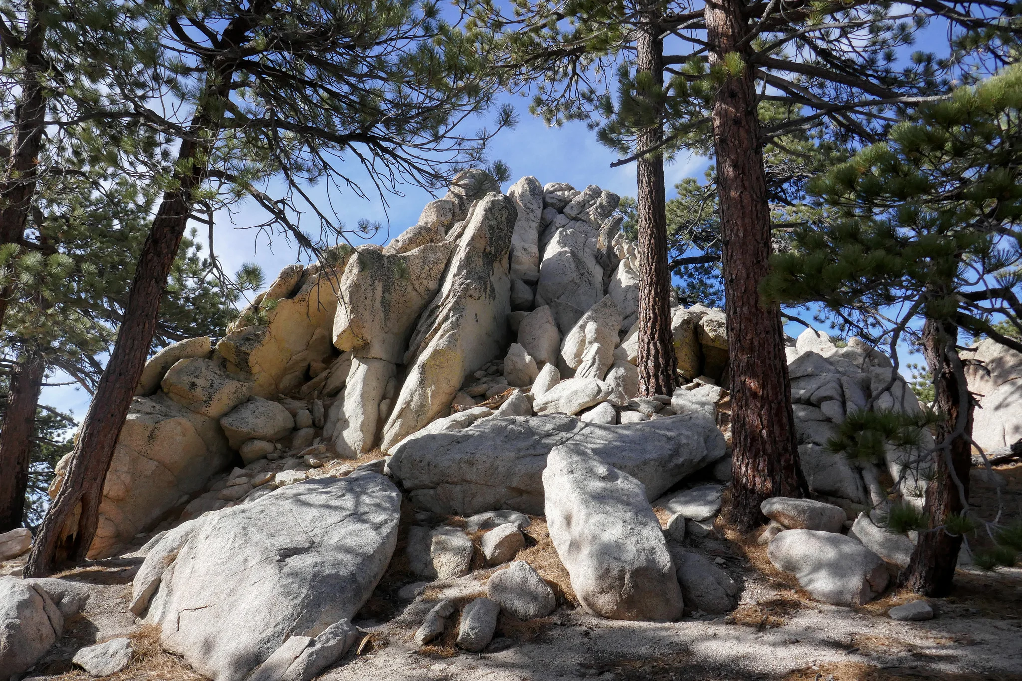
Great rock formations along this hike.

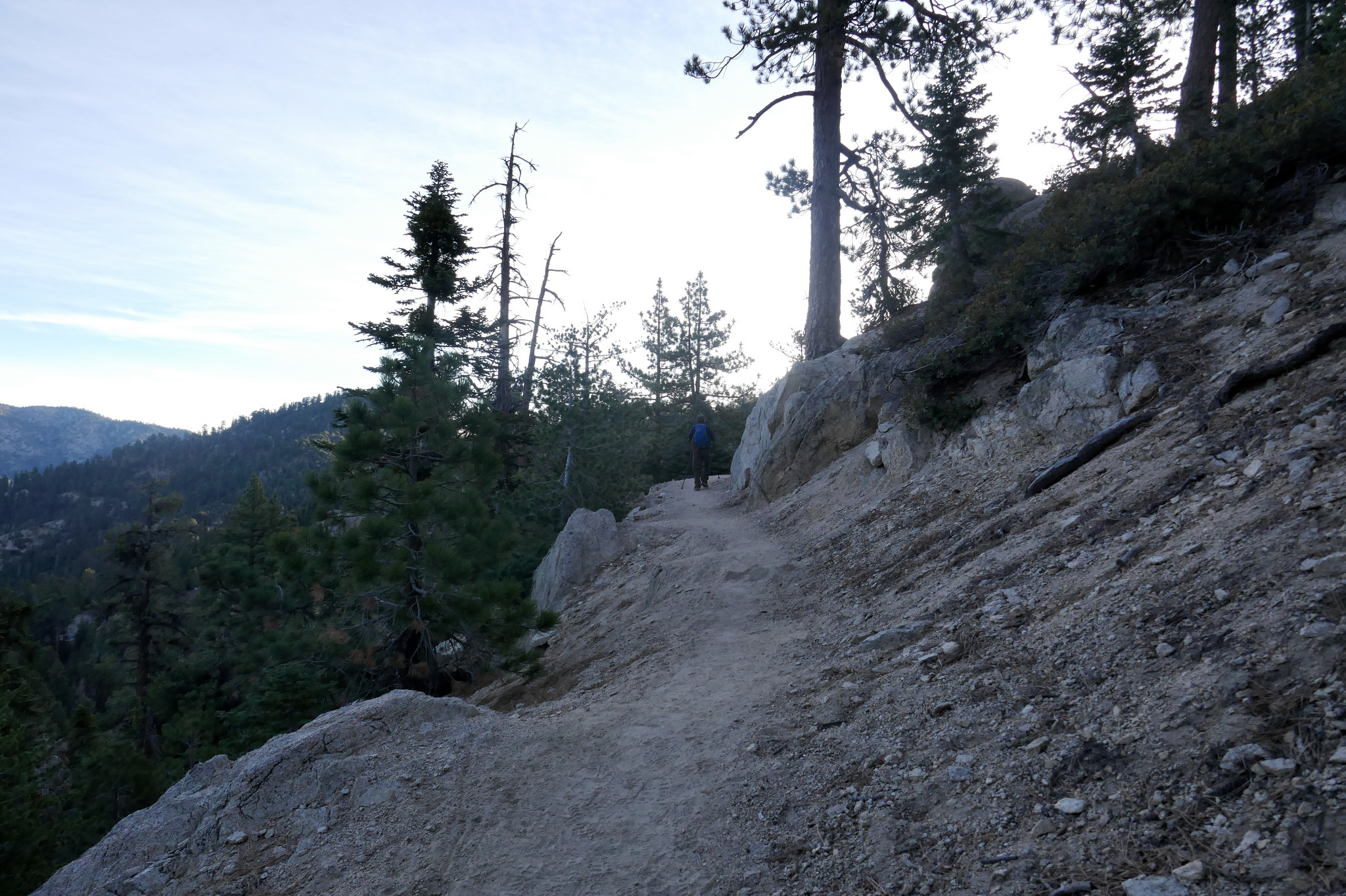
Looking down into the San Gabriel Wilderness.

At about 8:15 am we got to see the stealth bomber and its escorts fly over Angeles National Forest. It was awesome!

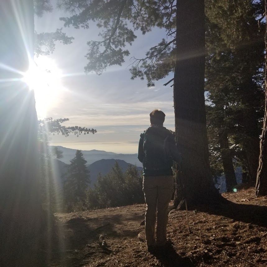
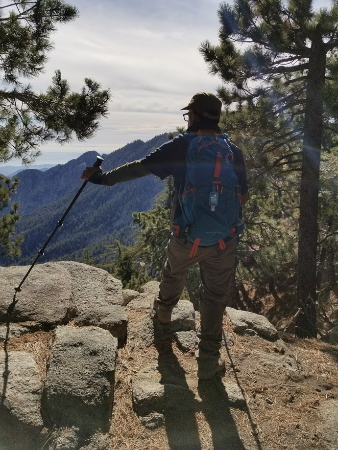
My husband enjoying the views.


The junction for the summit. You can also get to Twin Peaks from here. I hear that's a tough one.

Taking our time and enjoying the day.


The trail splits to the left or to the right. If you take the trail to the left, you'll climb up a steeper ascent which is what we did here.

Almost there!

Just had to climb up some rocks to get to the USGS marker and we were there!

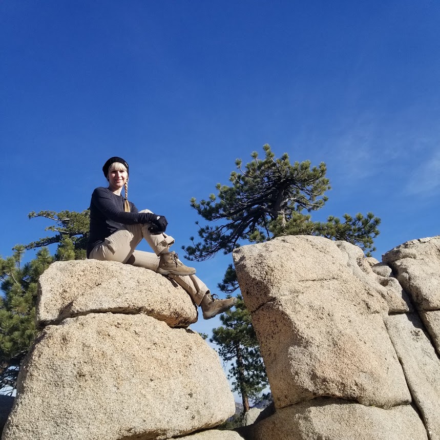
Enjoying the summit.


Heading down.


There's an old horse trough near the trailhead.