This hike is another one that had been on my bucket list. I can see Mount Wilson from my back porch, and we’d only ever visited it once in 2011 when we drove there. I was very excited to try and hike it! We did a loop trail starting from Chantry Flat then up over Sturtevant Falls on the Lower Gabrielino Trail passing through Sturtevant Camp and then finally the Sturtevant Trail to Mount Wilson. The Observatory itself is worth spending a whole day exploring if you have the time. On the way down we took the Mount Wilson Trail to Mount Wilson Toll Road, back onto Mount Wilson Trail to Winter Creek Trail to Lower Winter Creek Trail and back to Chantry Flat. I really enjoyed this hike and although it’s a long one, I didn’t find it particularly difficult. Most of the time you’re hiking through shaded forest, and the Lower Winter Creek Trail is exceptionally pretty. My legs were tired at the end of the hike, but the scenery was worth the effort. We’ll have to do this one again sometime when the Cosmic Cafe is open so we can get ice cream cones at the top!

We started our hike with headlamps in the dark, so I didn't start taking photos until the sun started to come up. This is the Lower Gabrielino Trail that goes up over Sturtevant Falls.

We passed through Sturtevant Camp. It's a great place to check out if you have time to explore. We had seen it the last time we were here, so we just passed on through.

On the Sturtevant Trail. Here's where the hike gets real.

Halfway rest. Still some work to do.

As you get closer to the top, the views begin to open up.

It's a very beautiful trail and shaded too.

More views.

Climbing up.


Finally seeing the top. If you hike to the right, you'll reach the lookout.

There was a marker at the lookout.

Beautiful views!


One of the giant telescopes.


This is the solar telescope.


The cafe was closed for the season, but that was okay. We knew it would be, so we brought our lunch and took a break.

We could have driven up. haha!

There is a plaque dedicated to Benjamin Davis Wilson in the lower parking lot.
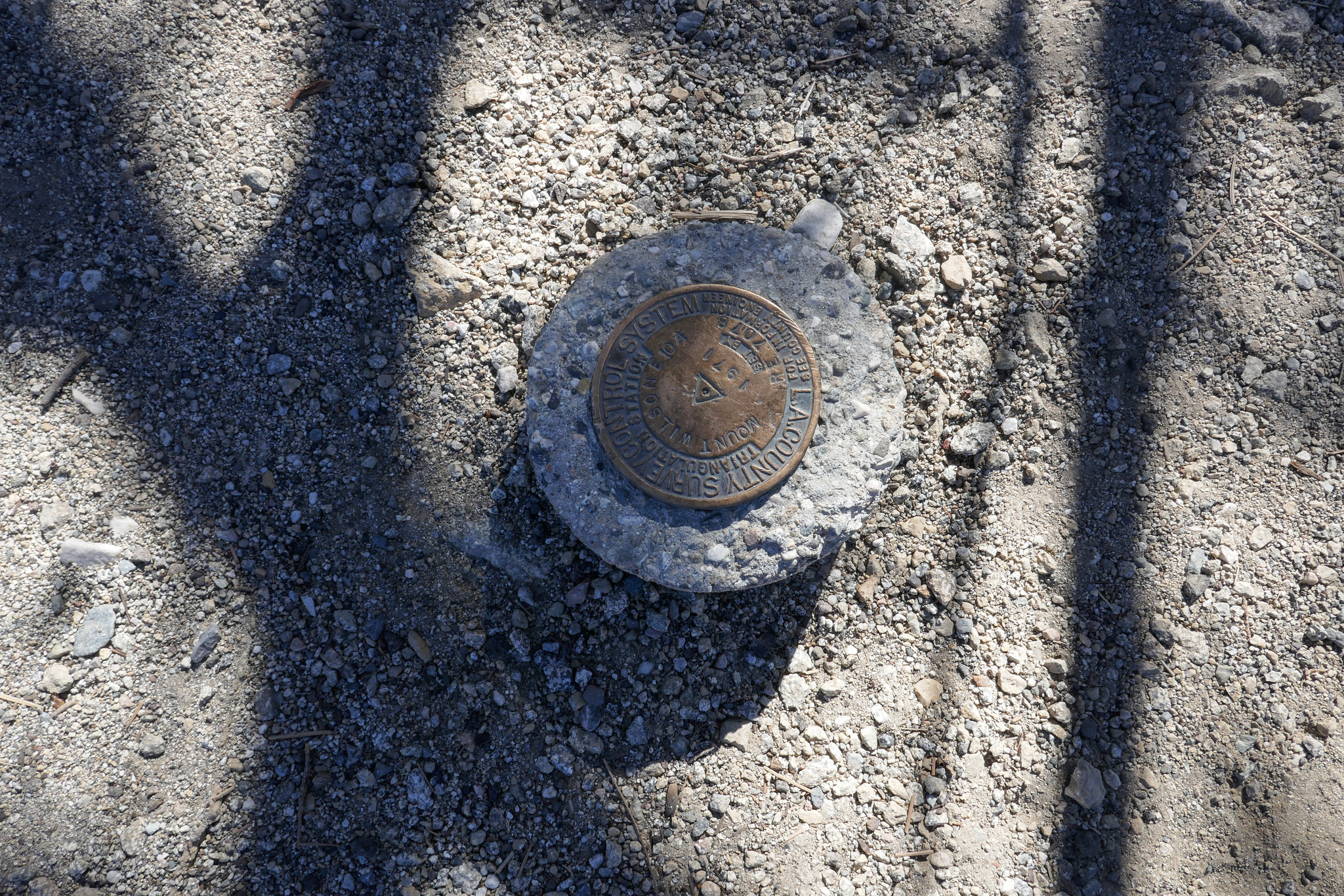
The USGS marker is next to the plaque.


Now hiking down on the Mount Wilson Trail. You can see a lot of damage from the fire we had in October 2017.


DTLA was not very visible today.


Looking back up the Mount Wilson Trail.

I was pleasantly surprised at how pretty the Mount Wilson Toll Road was.

Great views from the Mount Wilson Toll Road.

There was an avalanche here in 2005 that closed the road for a while.

Hiking down the Winter Creek Trail.


This is the Lower Winter Creek Trail. It's like a fairytale.


Bridge at the end of the hike. You still have to walk a long slog up a paved road to get back to Chantry Flat after this. It was a great day and a great hike!


