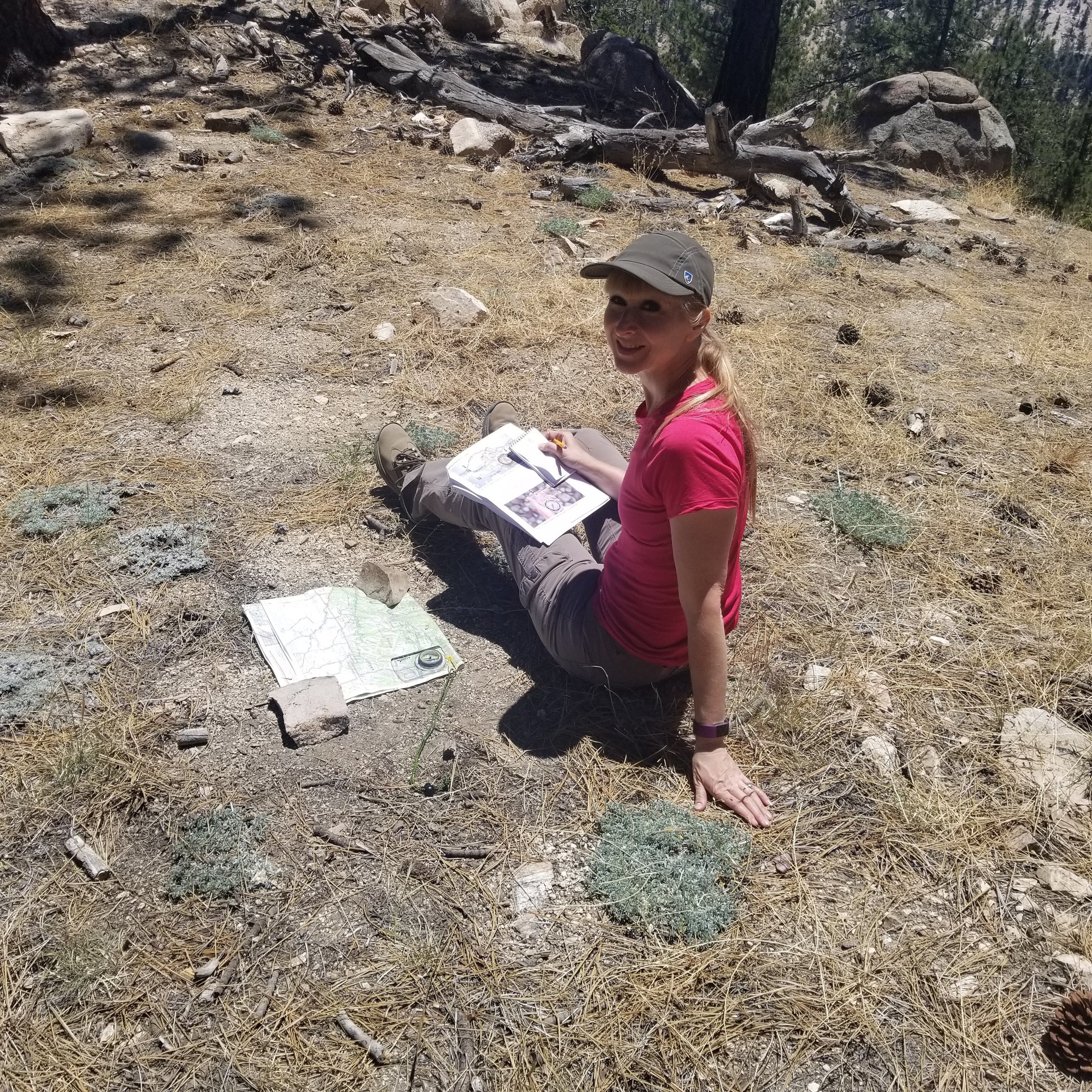
This weekend we had a fun field day practicing our basic navigation skills with a good o’le map and compass. We recently had taken a class at REI and wanted to practice what we learned in the field. We decided to hike to the West Ridge of Waterman Mountain. This would give us a chance to do some minor cross country route finding on an unestablished trail. We started the hike at Angeles Crest mile marker 54.10. We followed the road to a fork in the trail and headed southeast. The trail is wide at first and easy to follow. Eventually, we came to a junction with a watercourse and a very faint use trail that would fade in and out as we made the steep climb up to the wilderness boundary on the ridge. It was a nice challenge and we completed the task successfully! After making our way carefully down the slope and back to the parking area, we decided to drive to the nearby Winston Peak and climb to it’s high point where we could see the surrounding mountains and use them as landmarks to practice triangulation. The hike up to Winston Peak is steep, but short. From the top we could see Will Thrall, Pallet Mountain, Mount Baden-Powell and Cucamonga Peak to name a few. It was a great spot to put these basic navigation skills to good use. In this day of modern technology, we have so many fancy electronic gadgets readily at our disposal. But it’s always good to go back to basics and also an extremely valuable skill to have. It was another fun day in the mountains!
Waterman Mountain West Ridge, 4 miles, 1,125’ +/-
Winston Peak, 2 miles, 495’ +/-

We parked our car in the lot at Angeles Crest Mile Marker 54.10. There's a road where the PCT crosses that eventually splits off in the direction we wanted to go.

We headed southeast at the split.

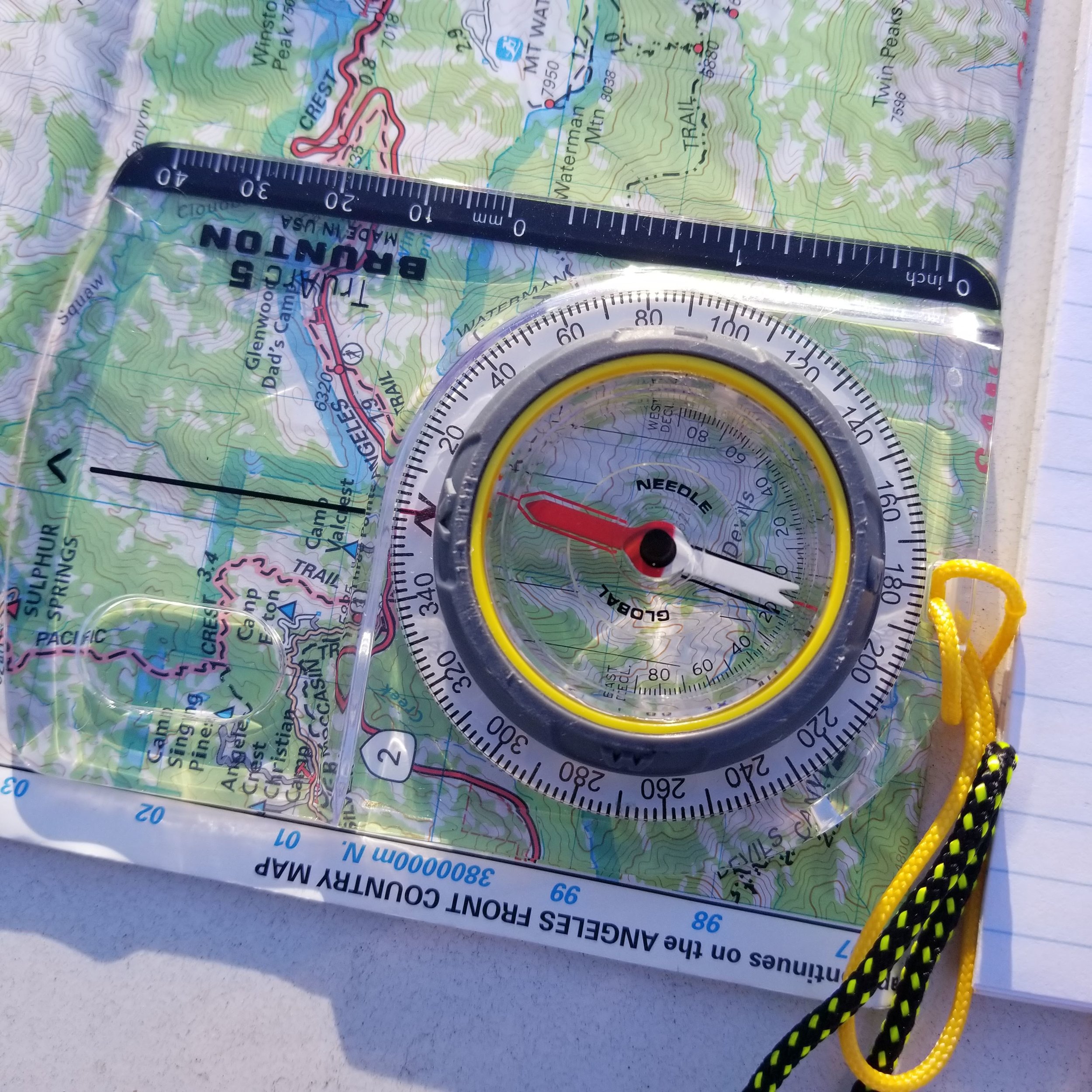
Practicing red in the shed. :)
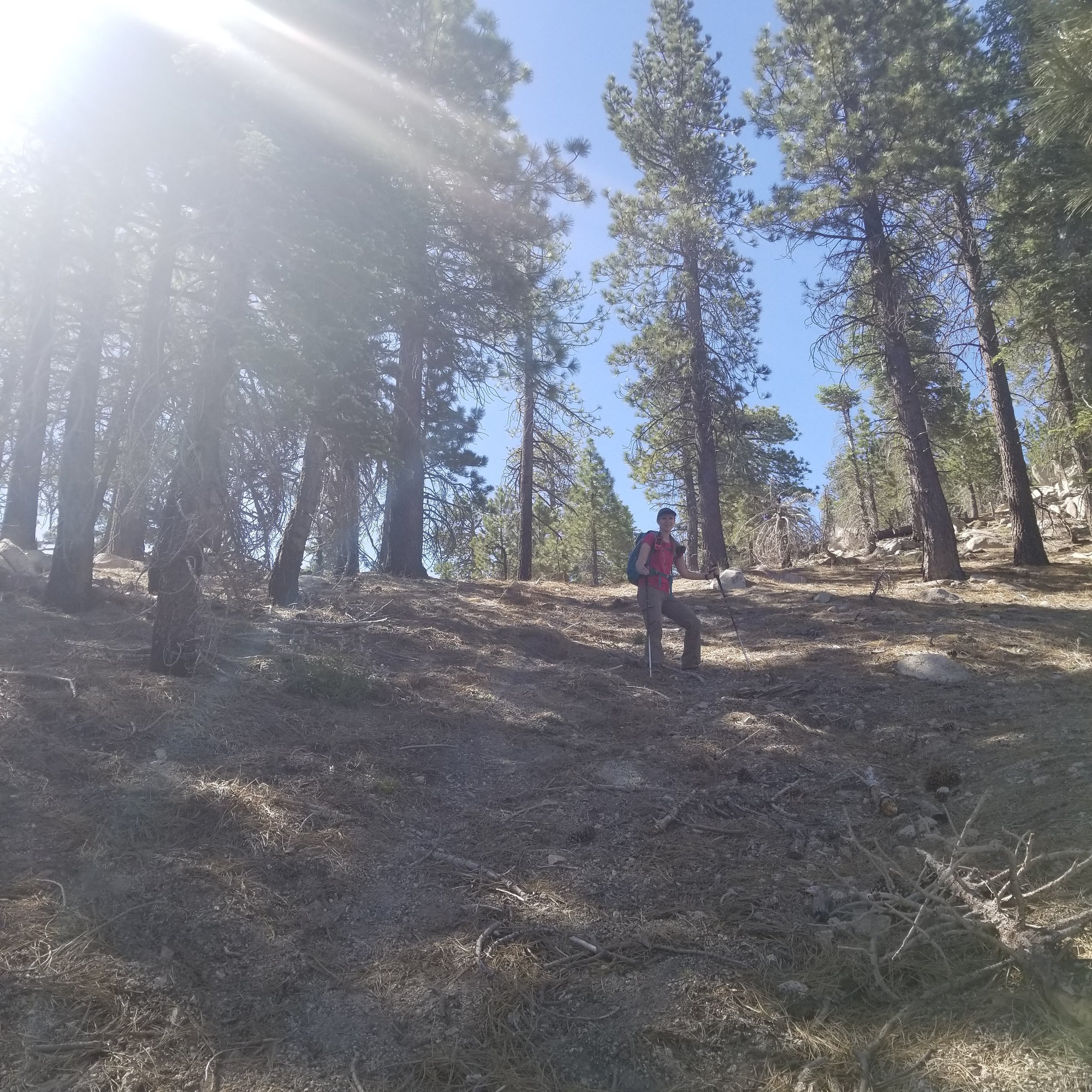
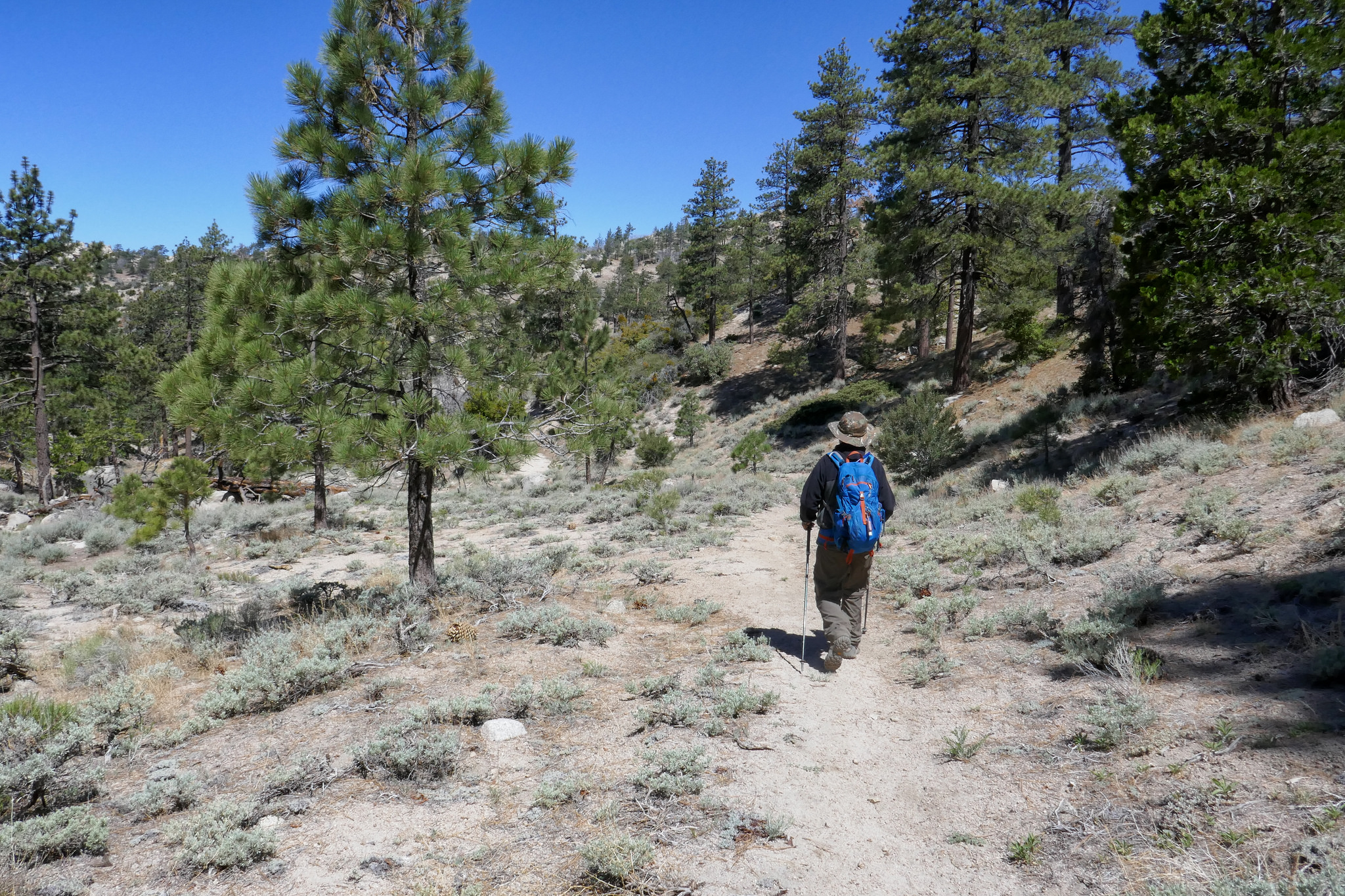
The beginning of the hike is on a somewhat established trail that starts off very easy to follow.


Crossing over a wash.


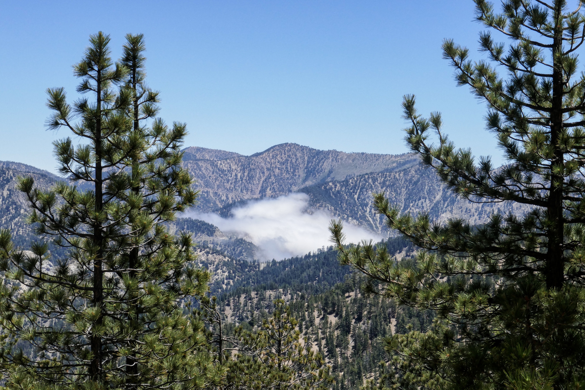
We were in the clouds this morning driving up Angeles Crest until we got above 6,000'. You can see the clouds settled in the lower elevations of the mountains.

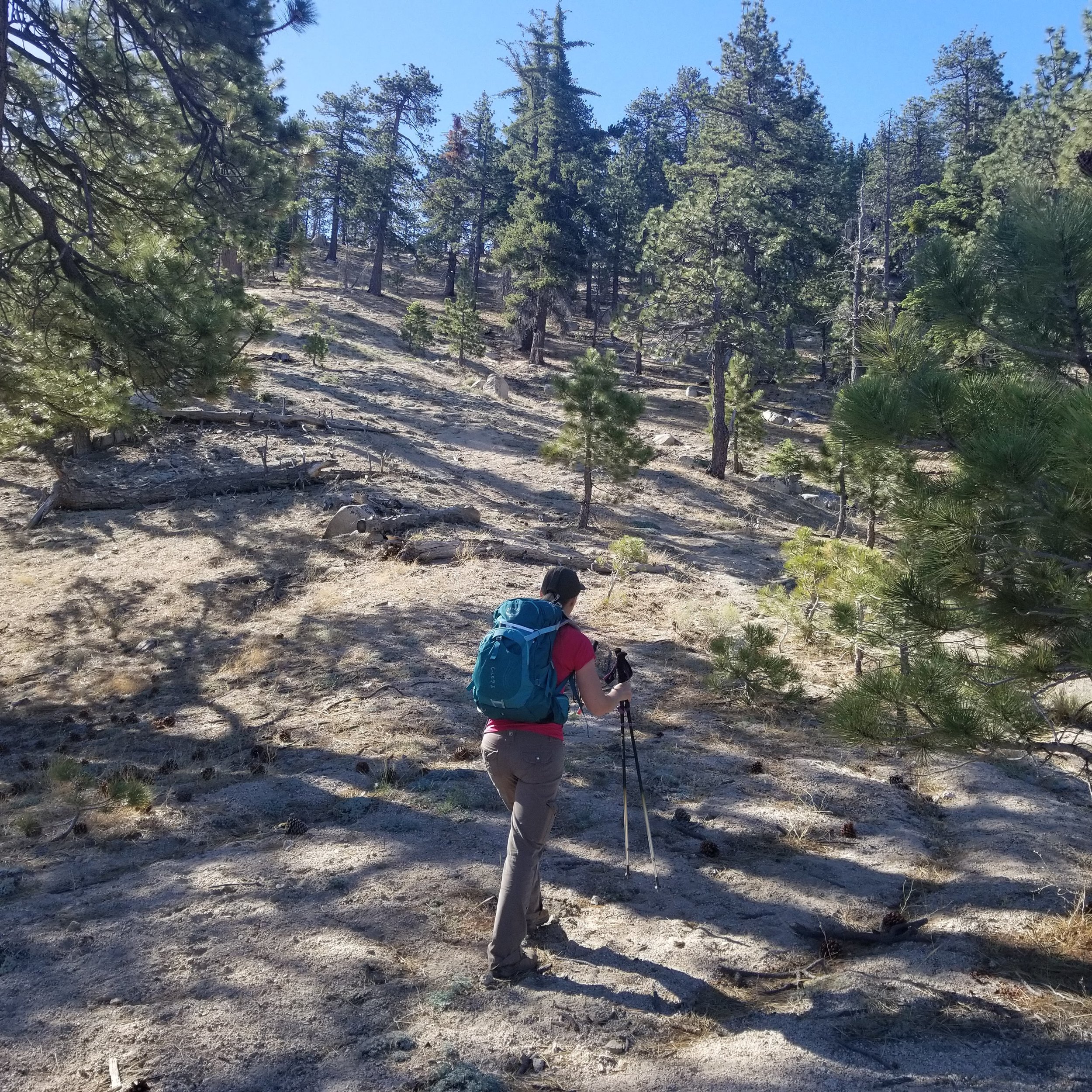
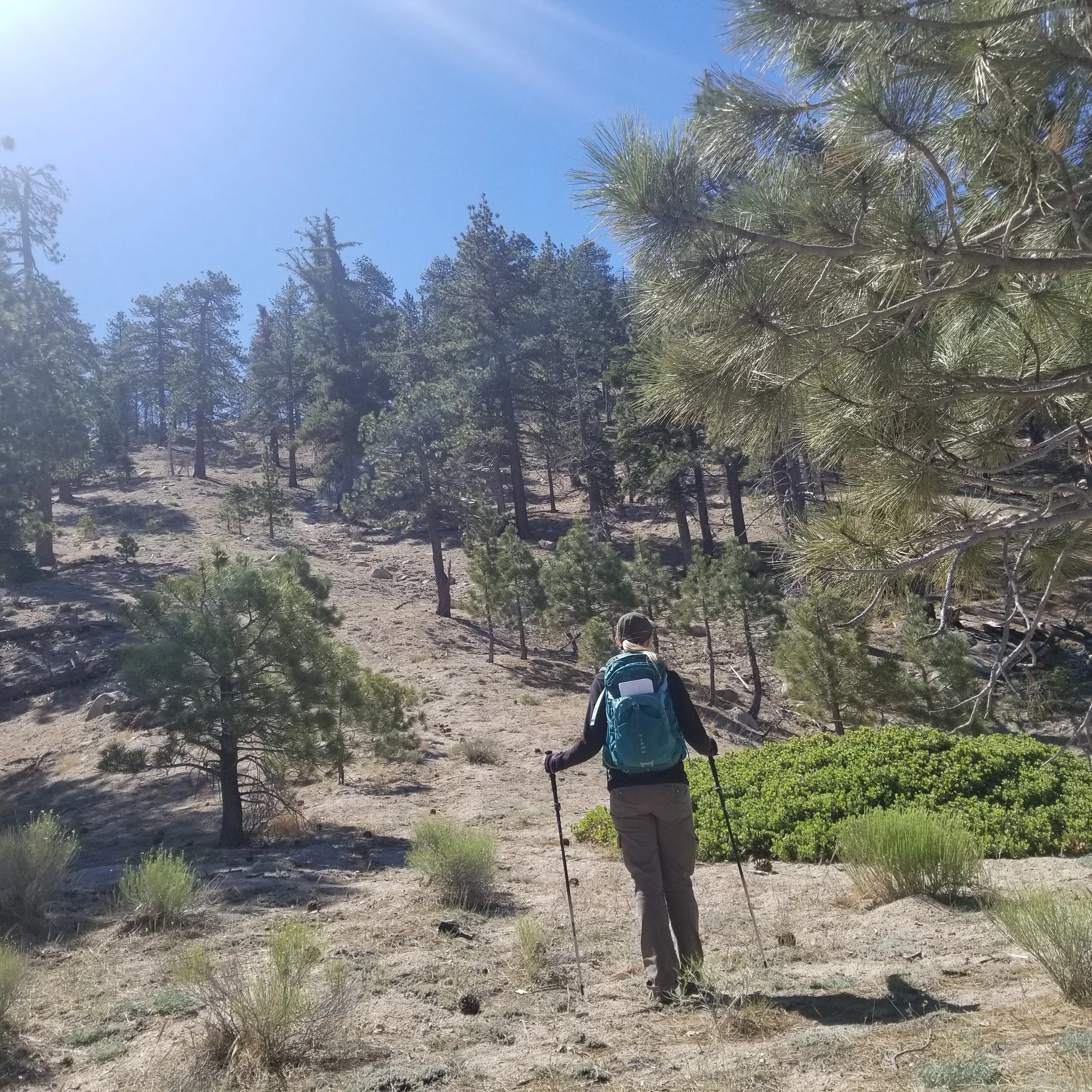
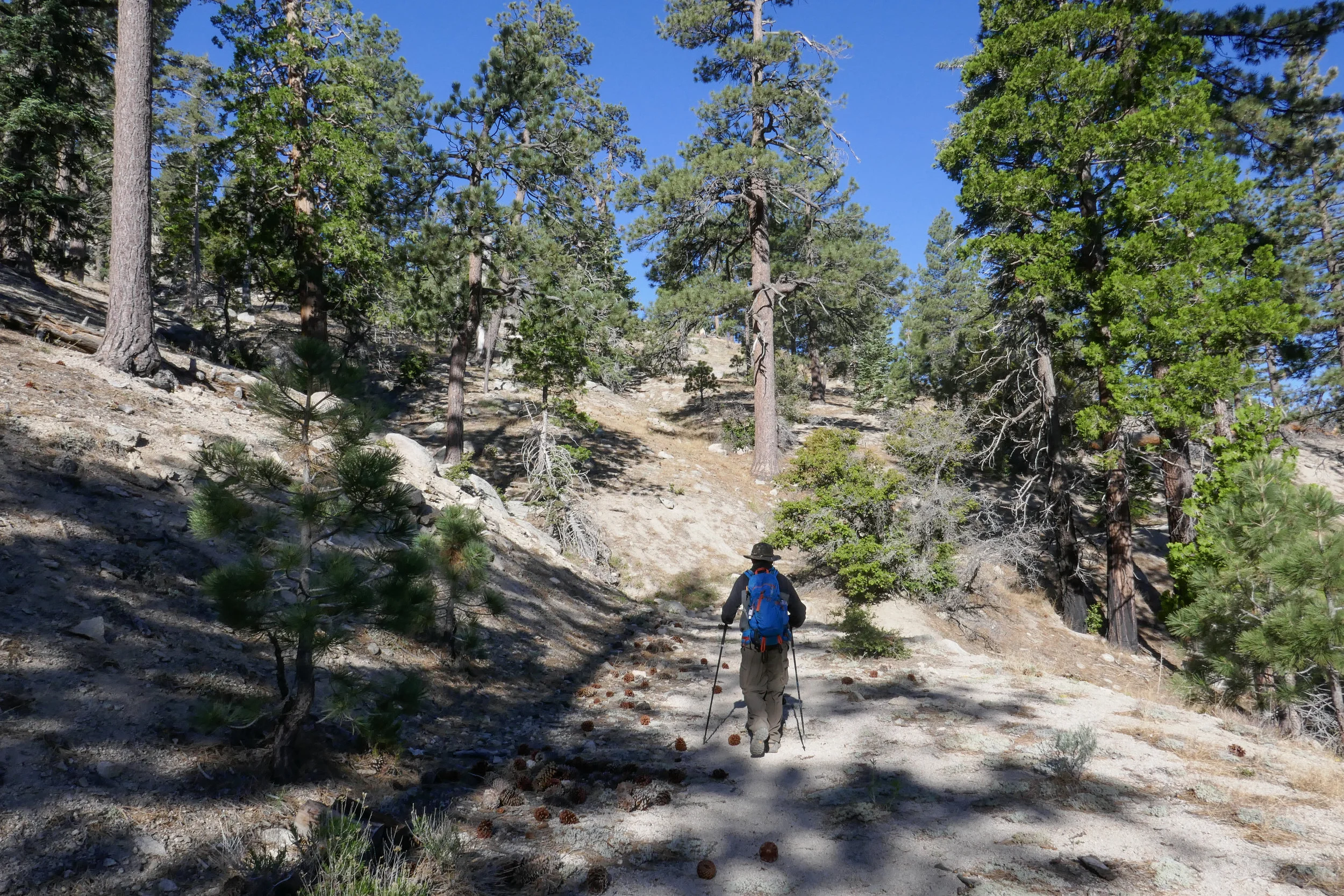
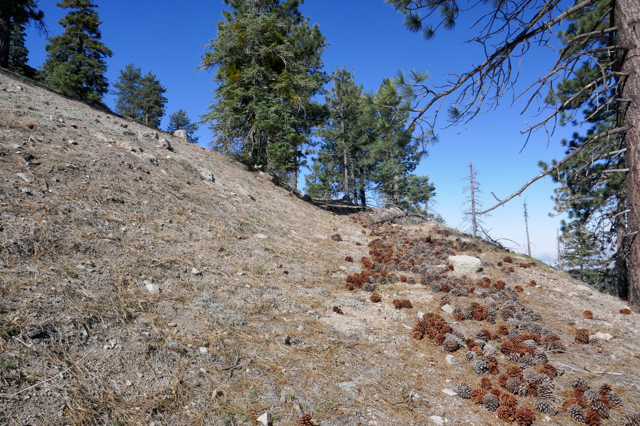
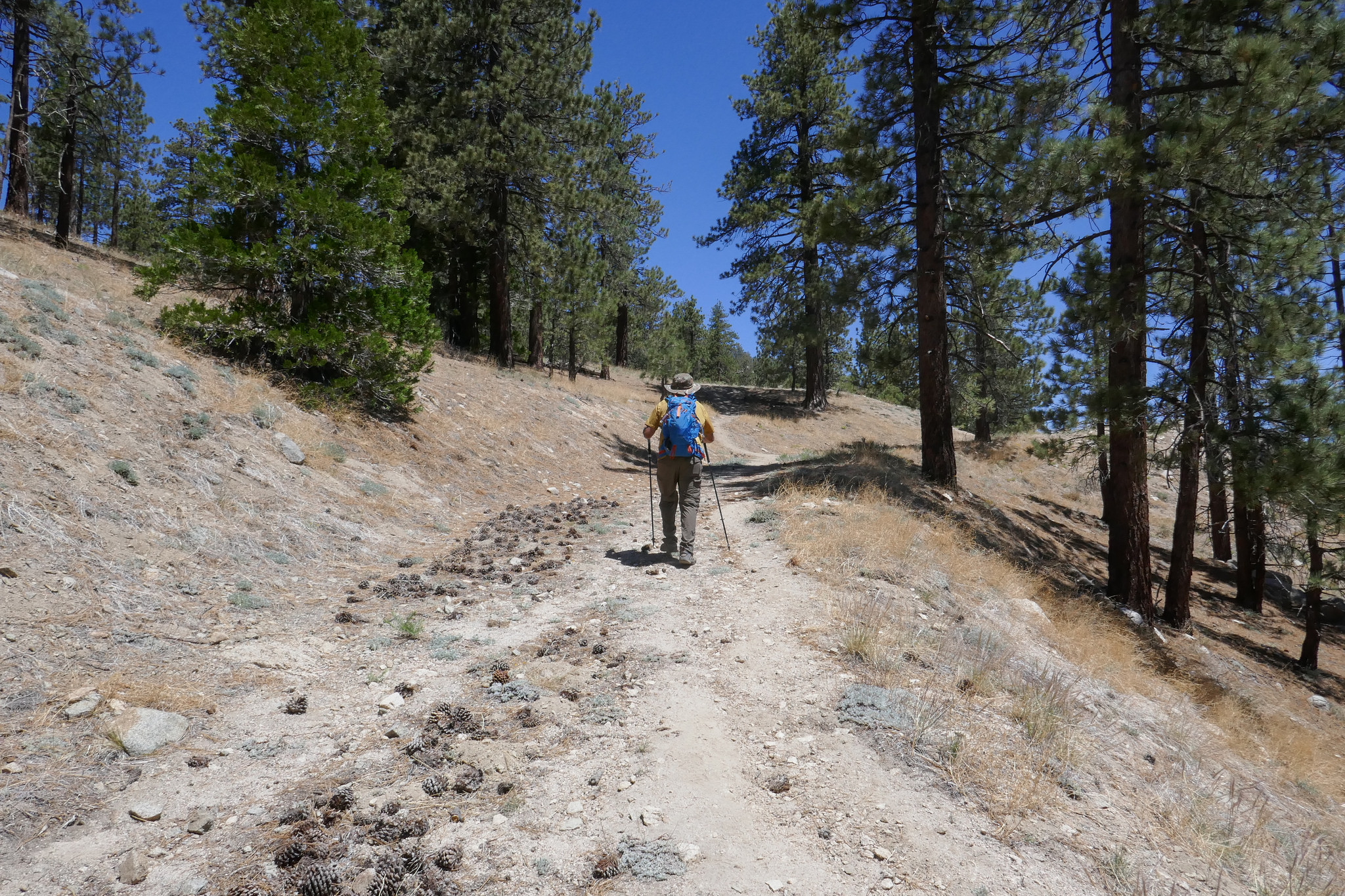
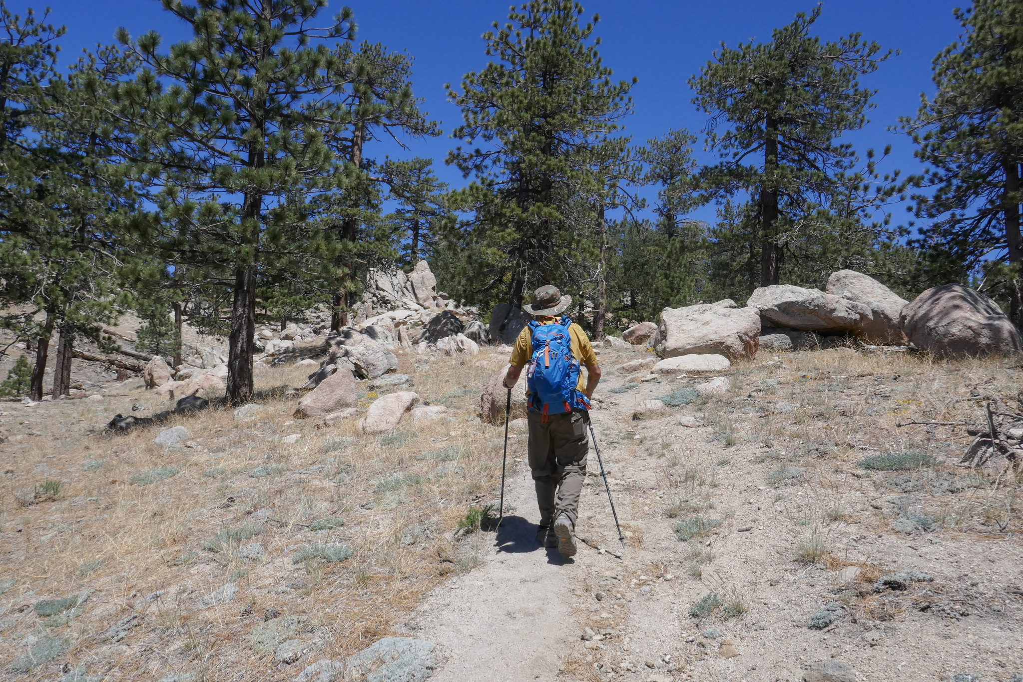
Continuing to head southeast.


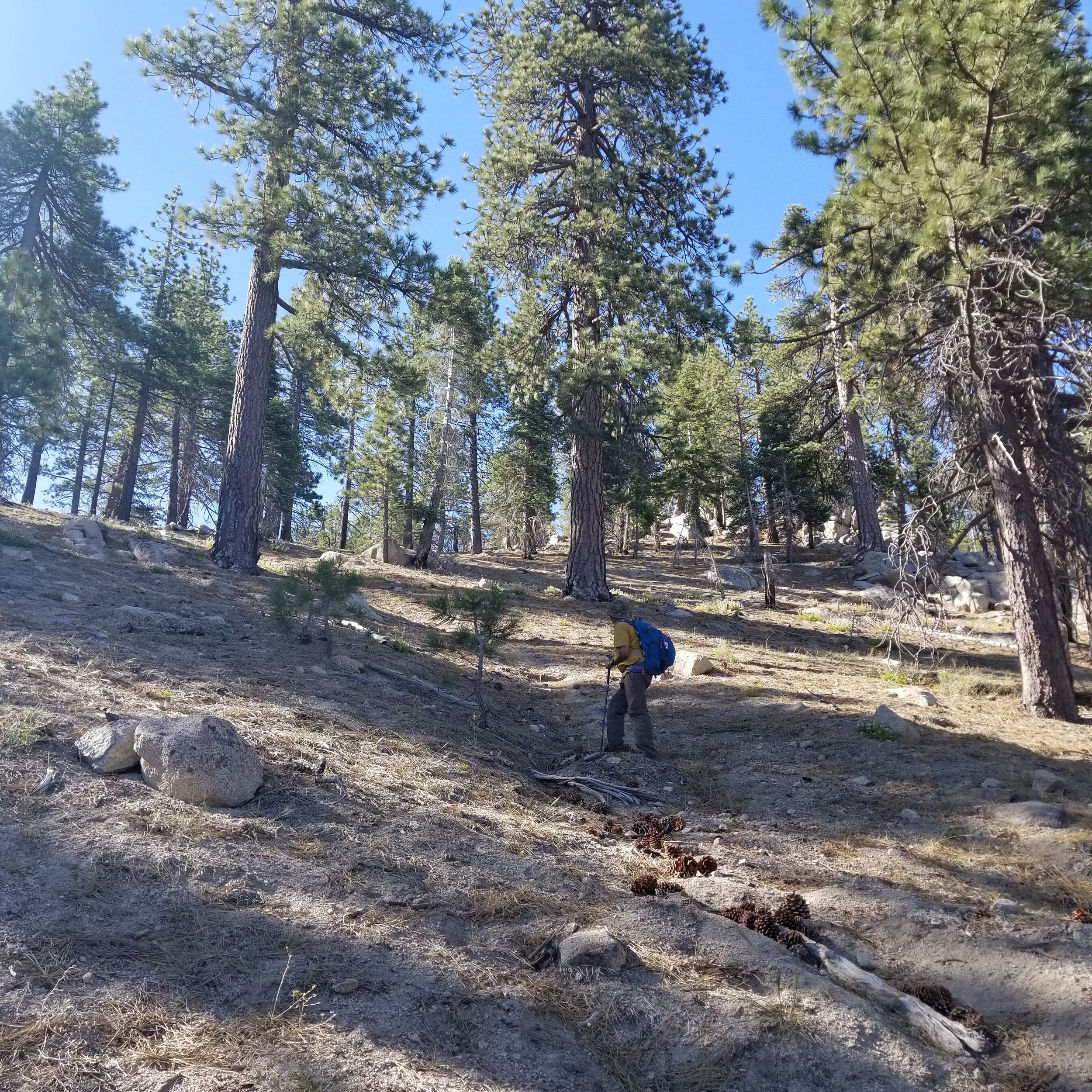
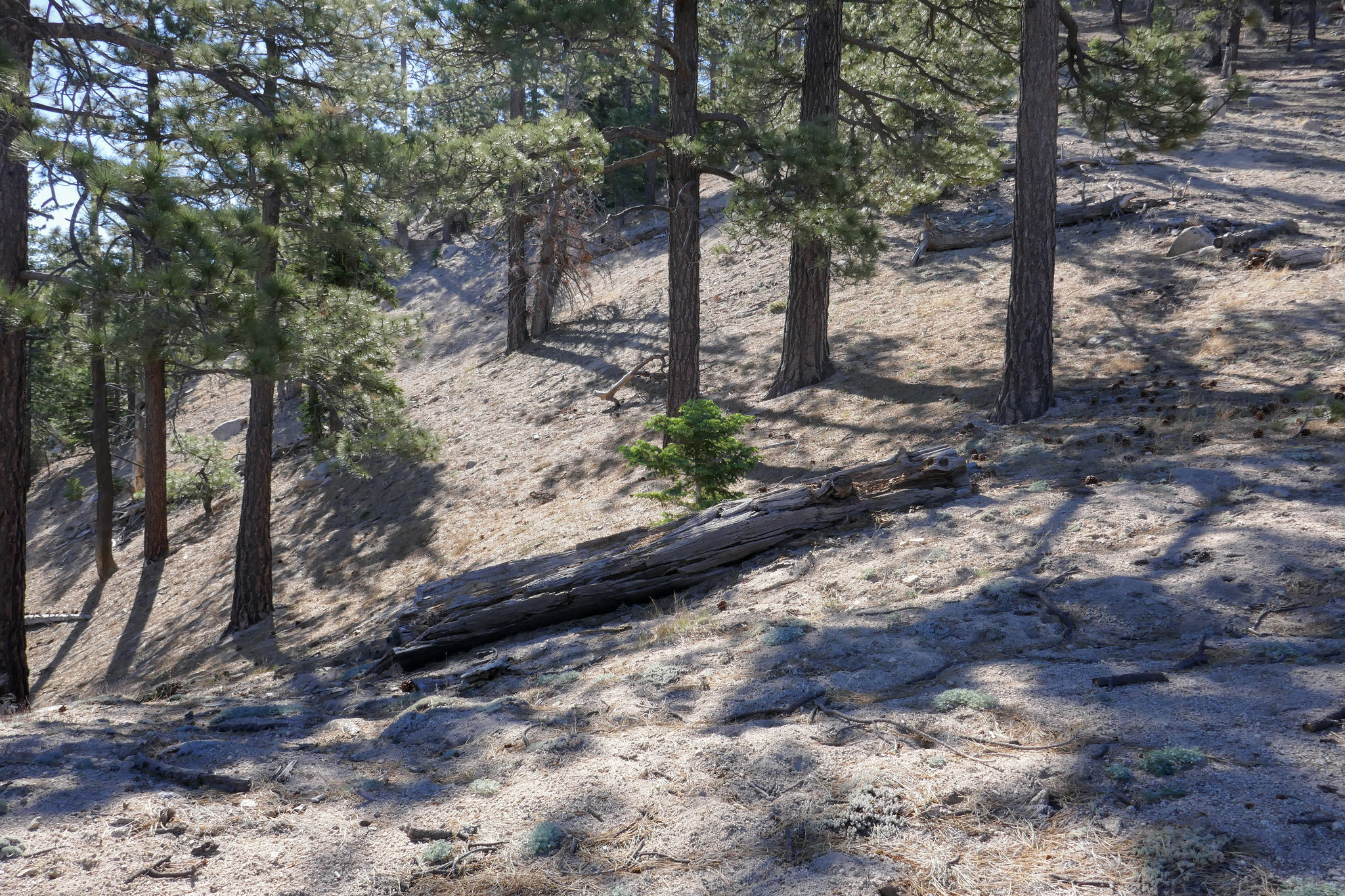
Some trees down along the route. Easily passable.
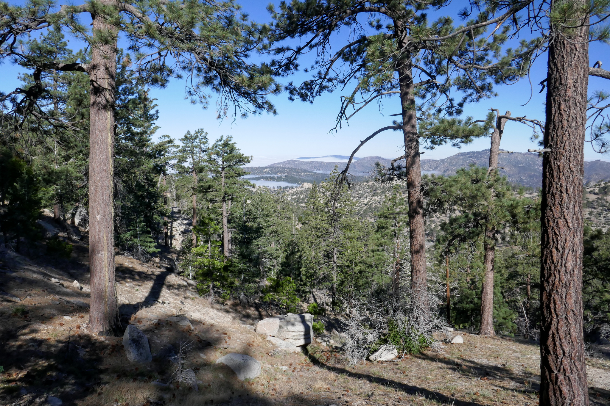
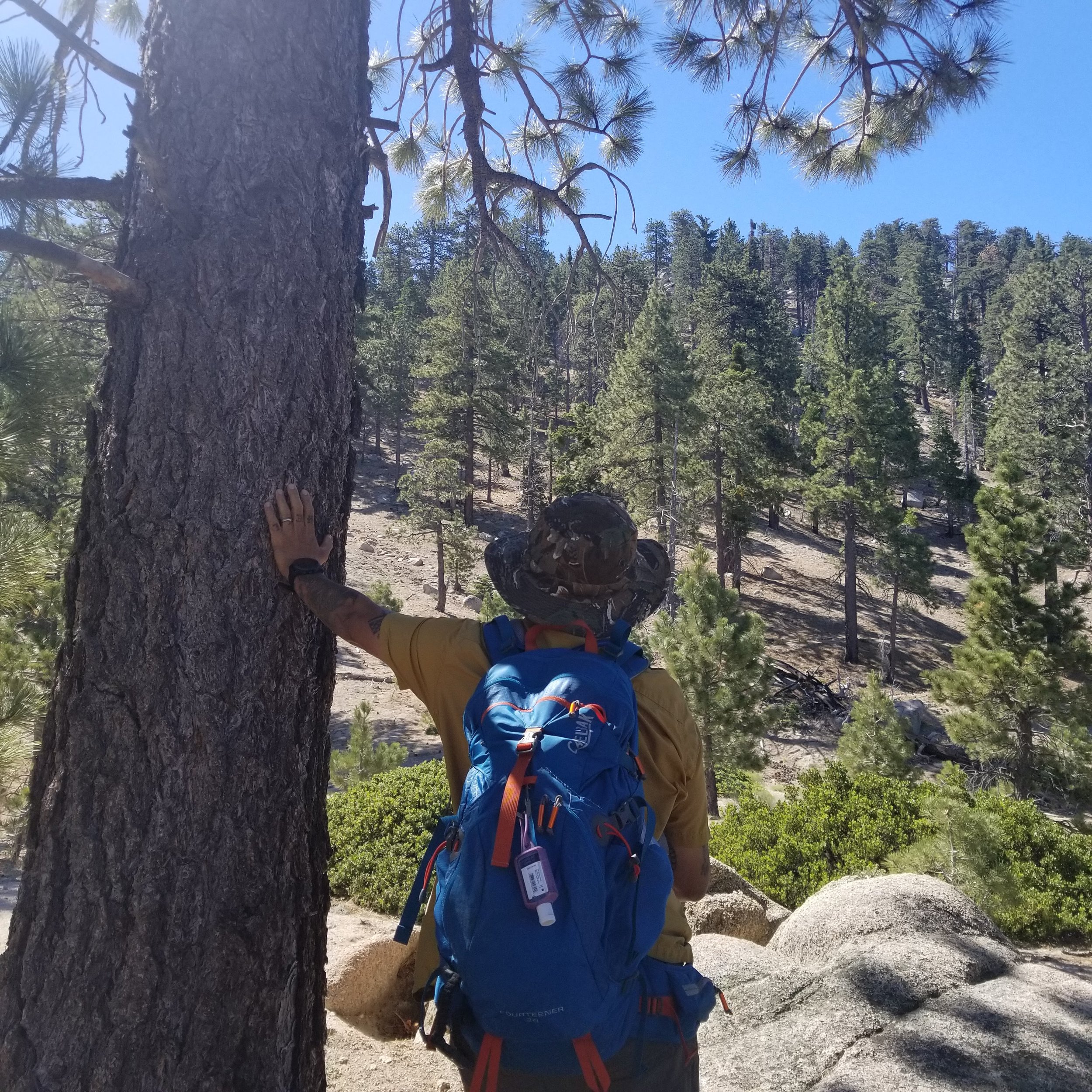
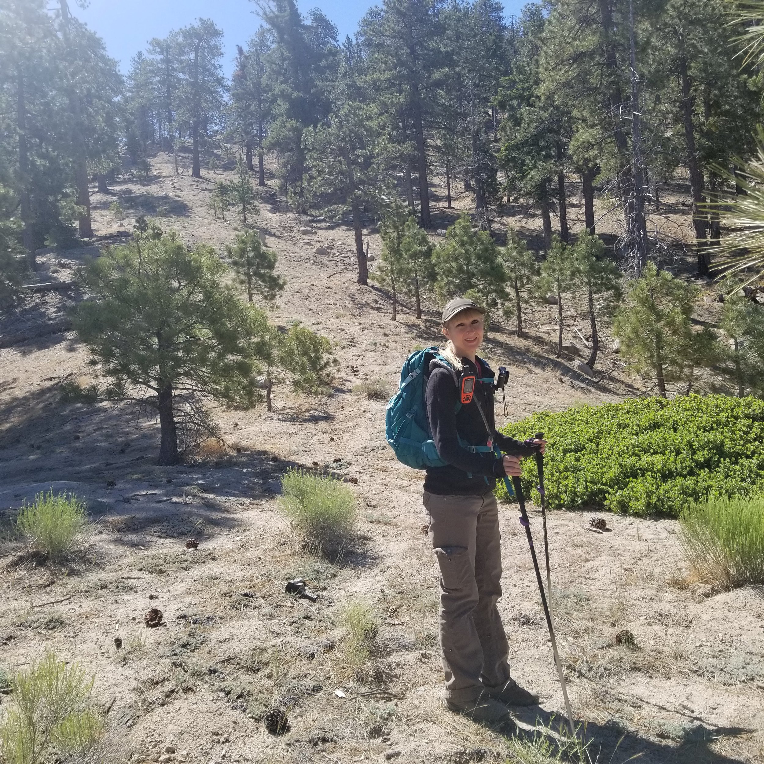
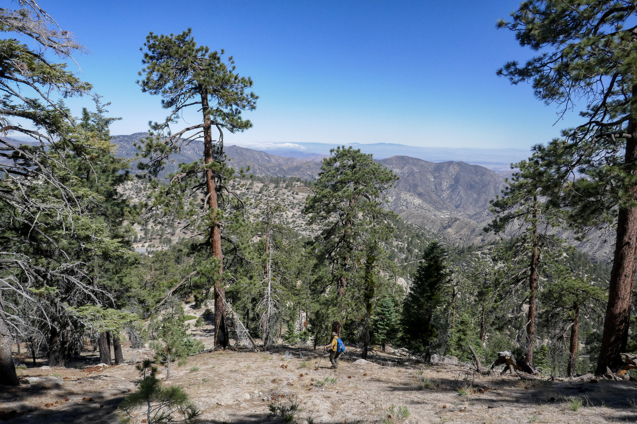
Nice views through the tree coverage.

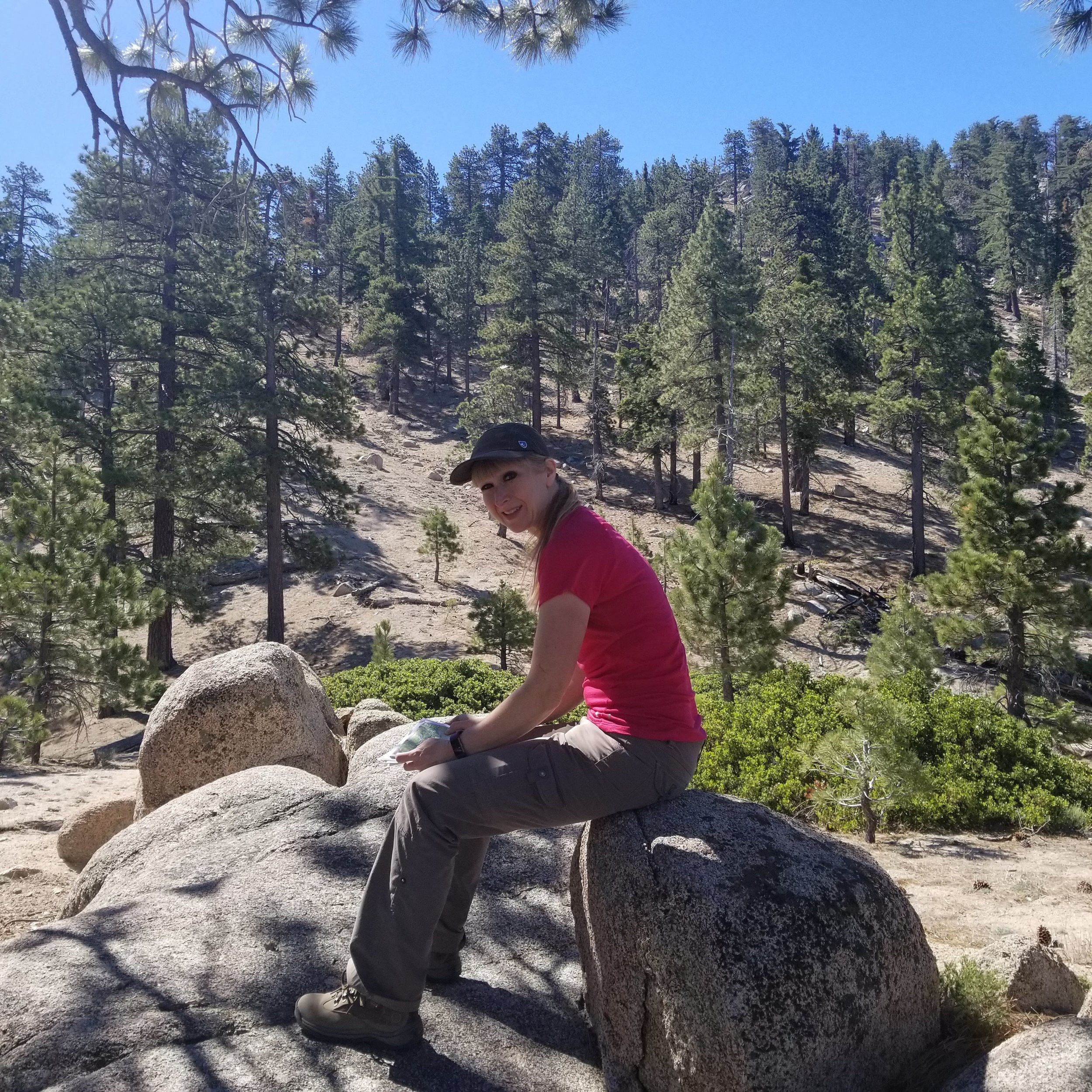
This rock formation was a nice place to stop and have a snack before starting our cross country trek up to the ridge.
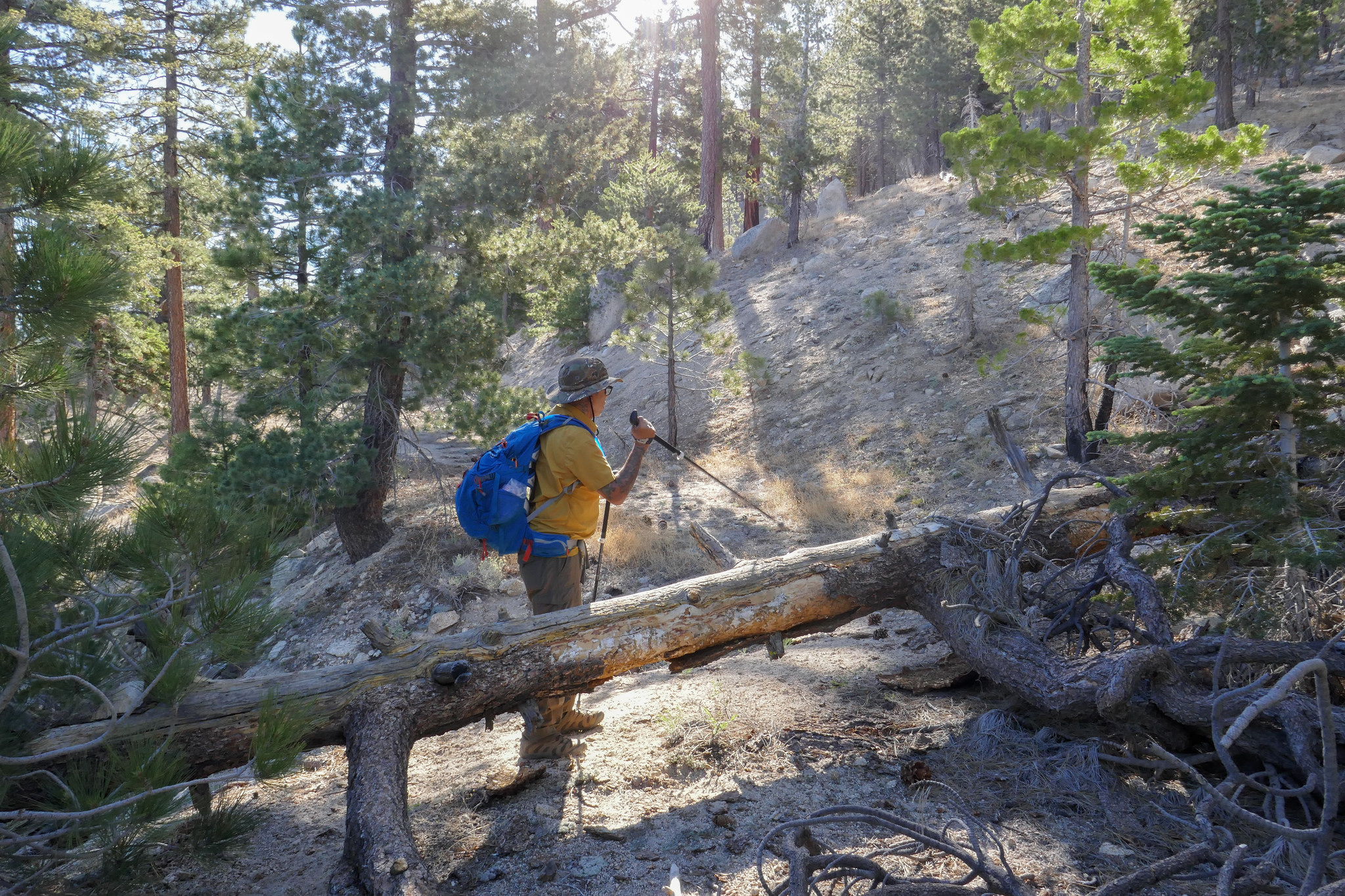
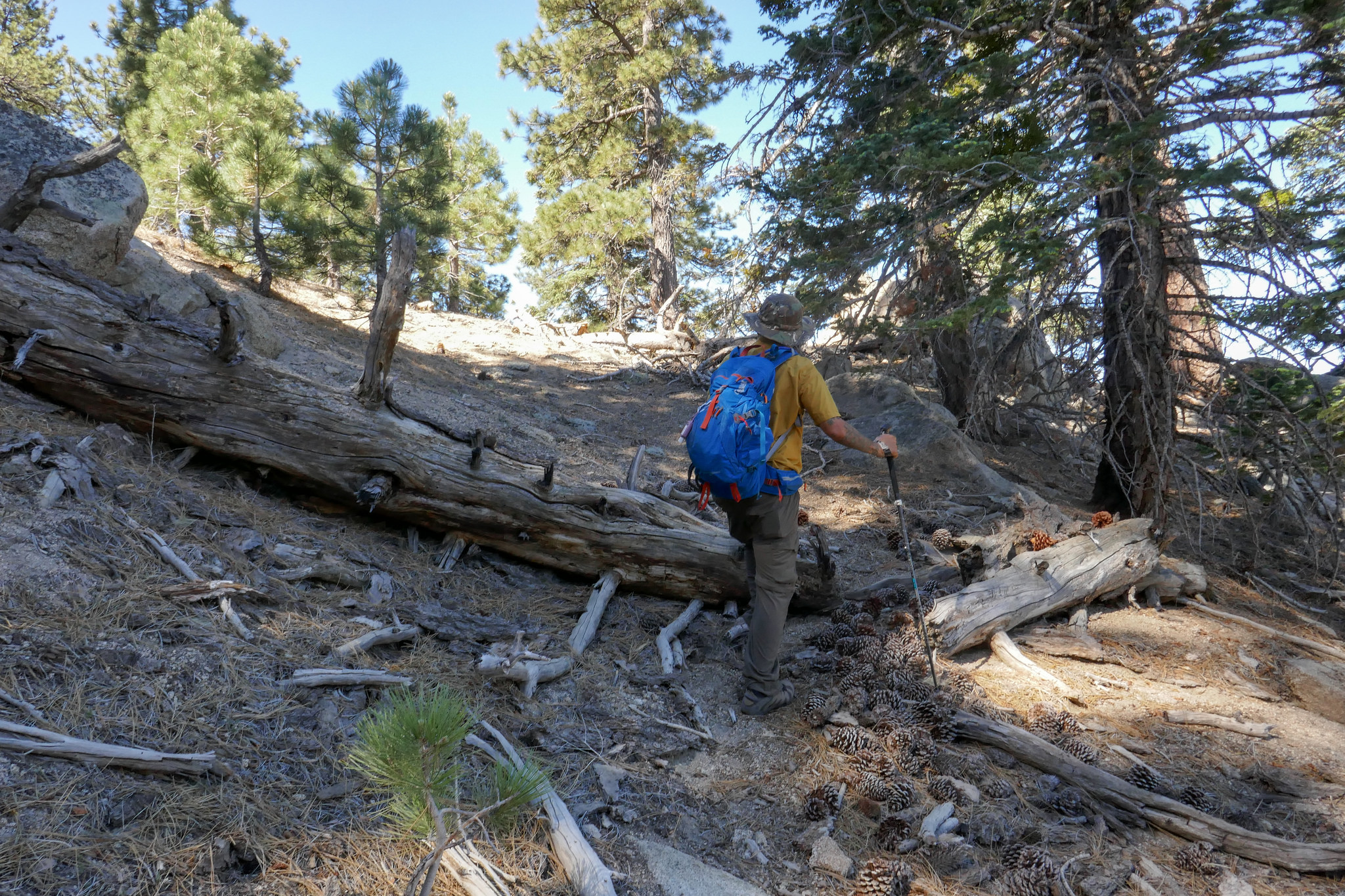
This log is just before the climb. Continue south (and go up! up! up!)

Making our way up on a 39 degree incline.

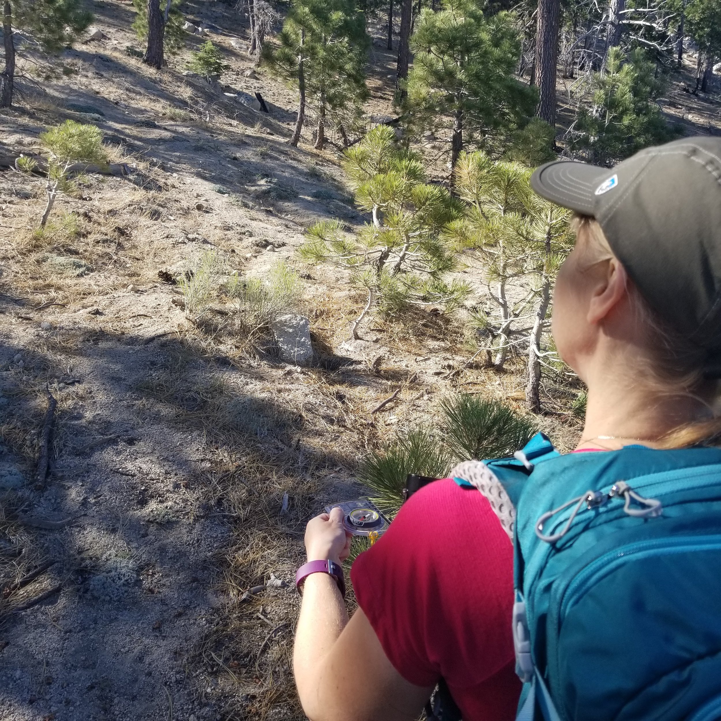
Following the watercourse and a very faint use trail.


This is looking back down at what we were climbing. Pretty steep!
Almost to the ridge.

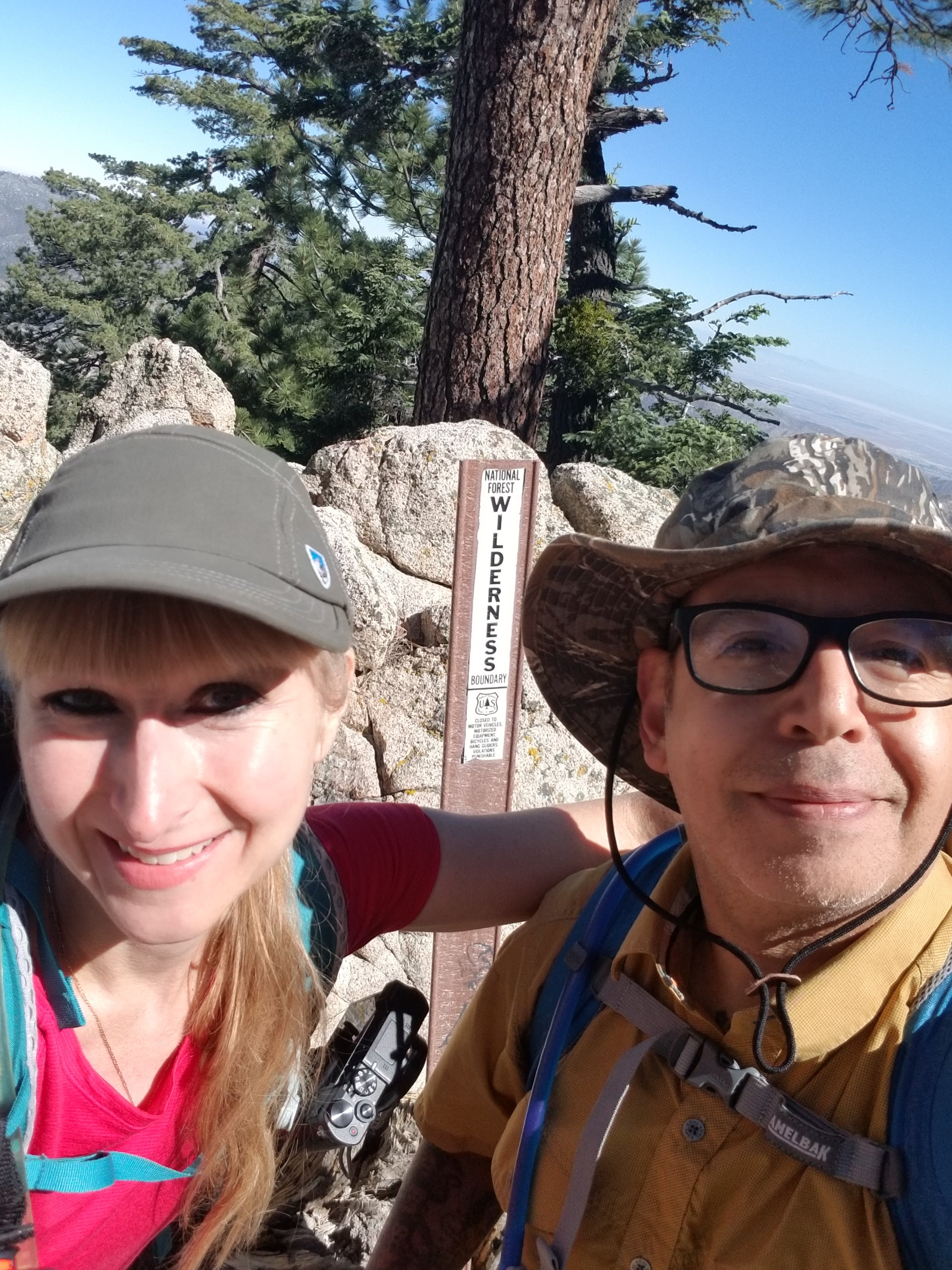
Made it! There's a tree behind some rocks with a wilderness boundary sign.

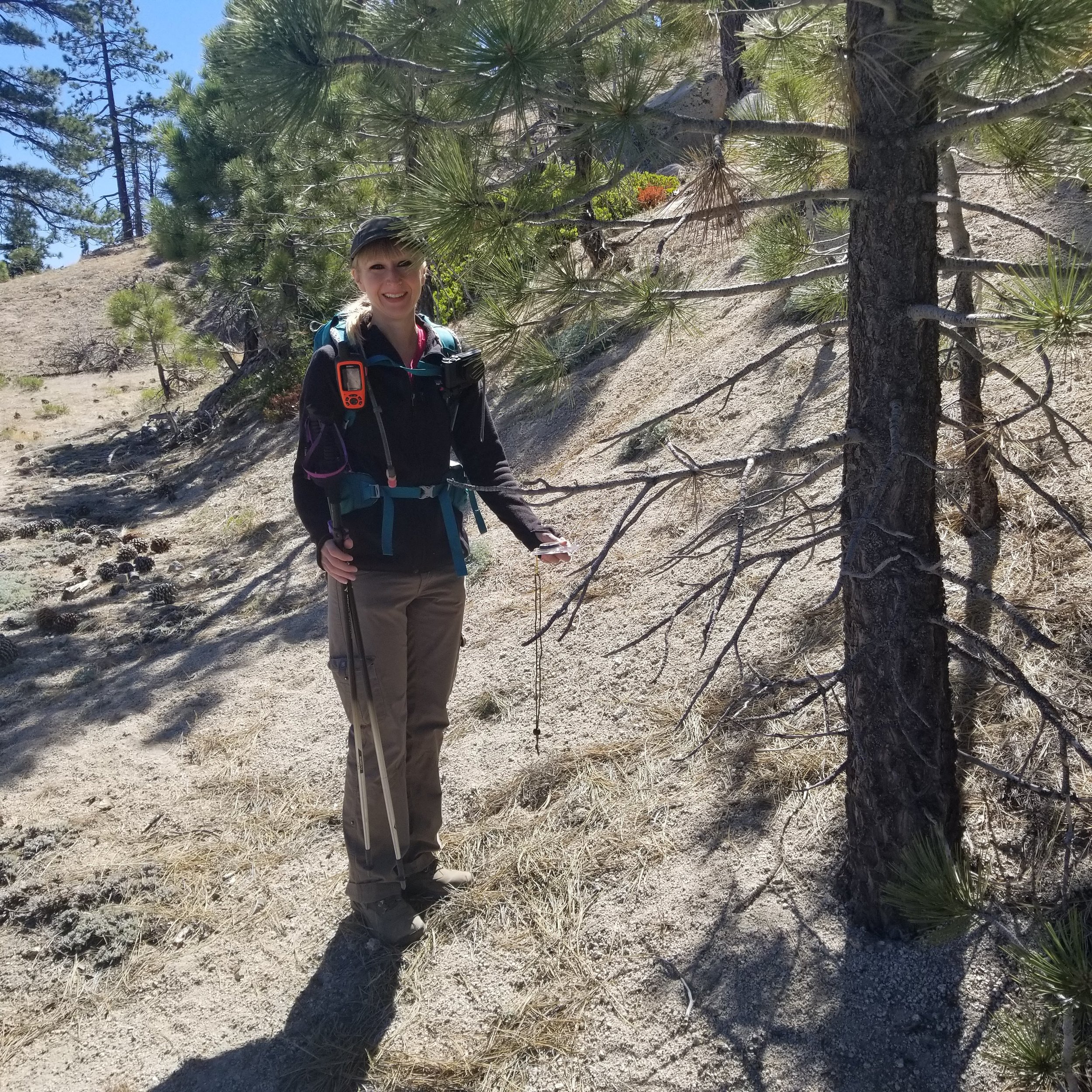
I took a photo here to remember that this was the way down since there isn't much of an established trail.

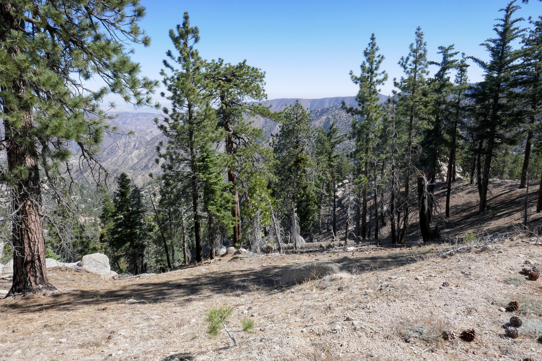
Enjoying the views on the ridge.
And then it was time to head back down.


Taking careful steps.

Back at the downed tree.
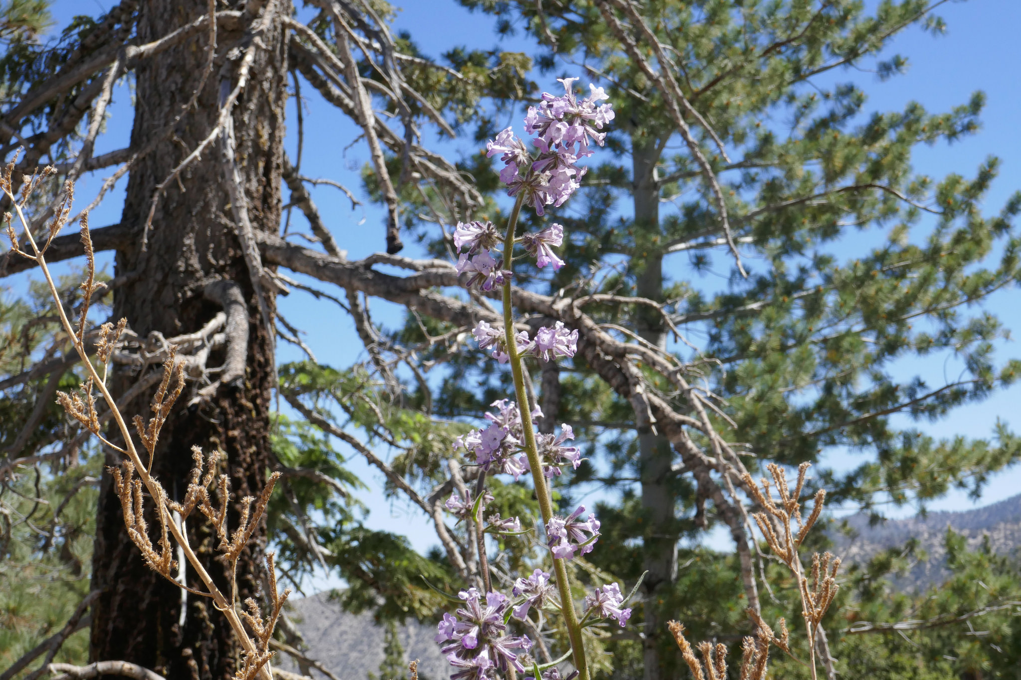
One lone poodle dog bush.

Back at the wash.
Almost back to the car. That was fun!

We drove to Cloudburst Summit and mad a quick climb up to the high point of Winston Peak to use the surround peaks as landmarks to practice triangulation.
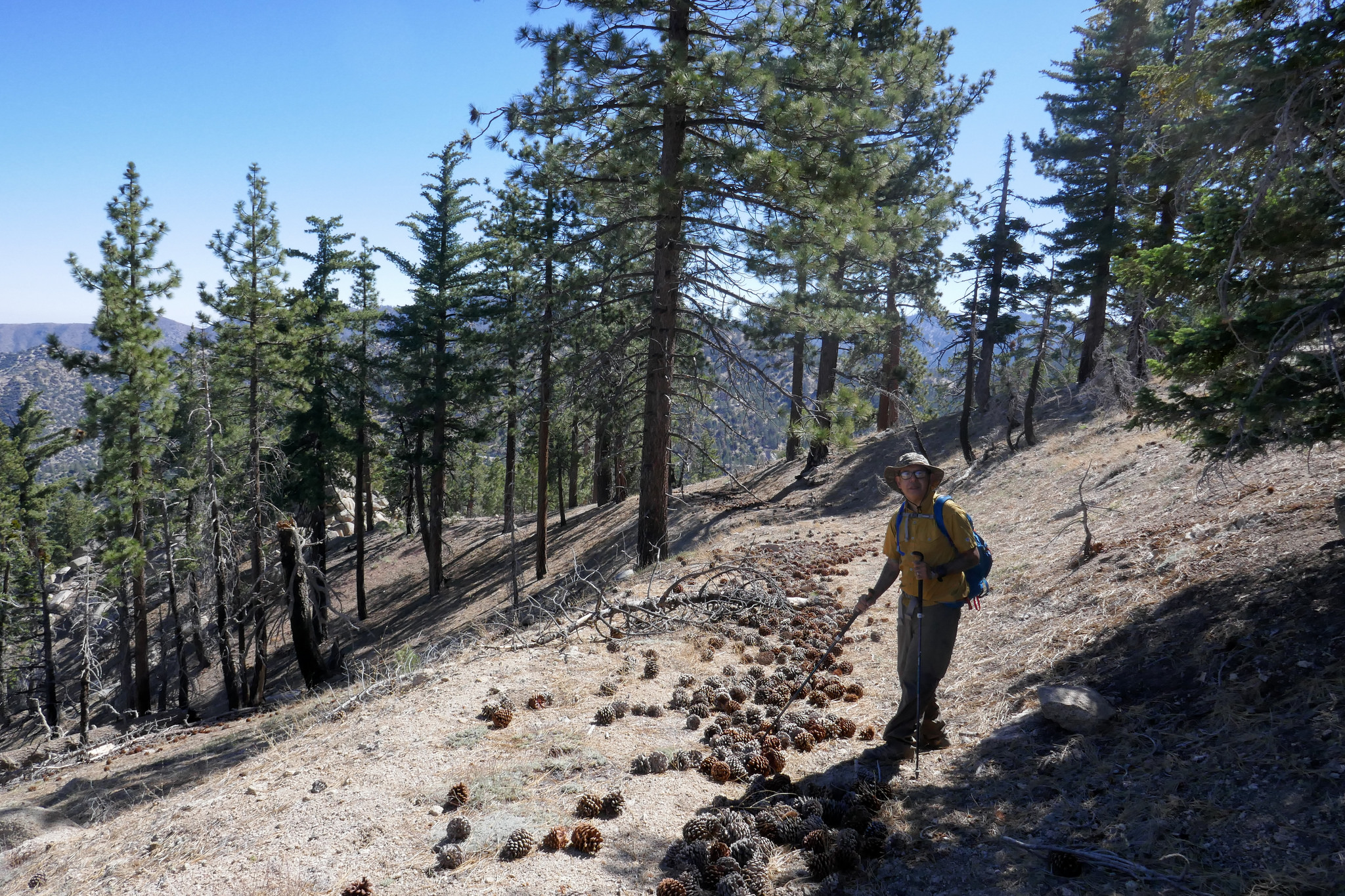
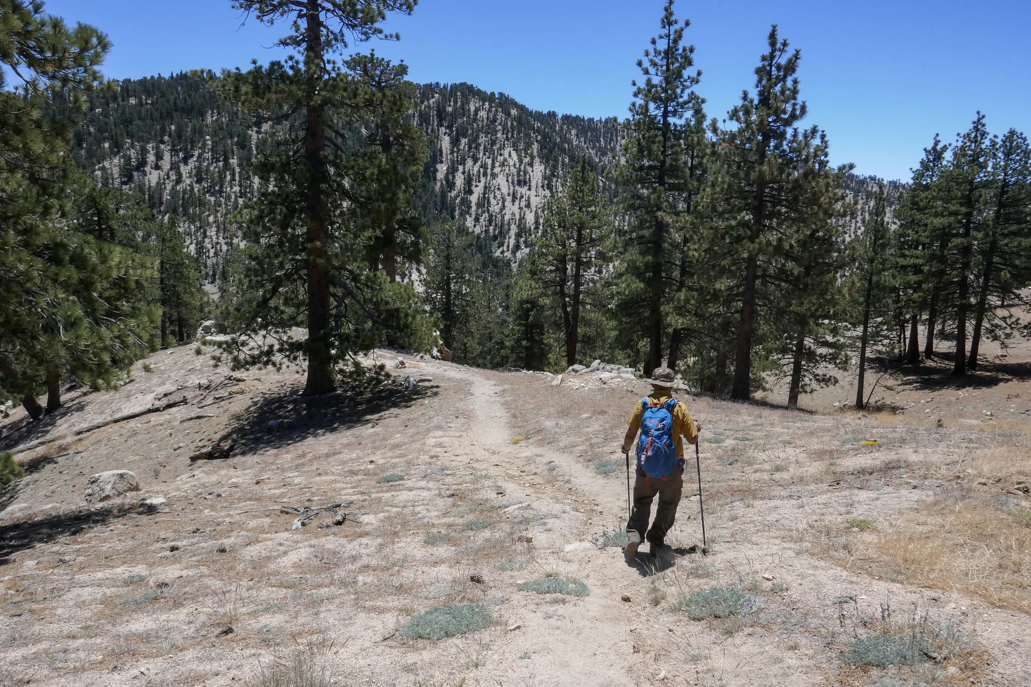
Heading up to Winston Peak.

It's steep, but short.


Looking over towards Cucamonga Peak and Mount Baldy.
Mount Baden-Powell
Heading back down. It was a perfect day to take the time to go back to basics!