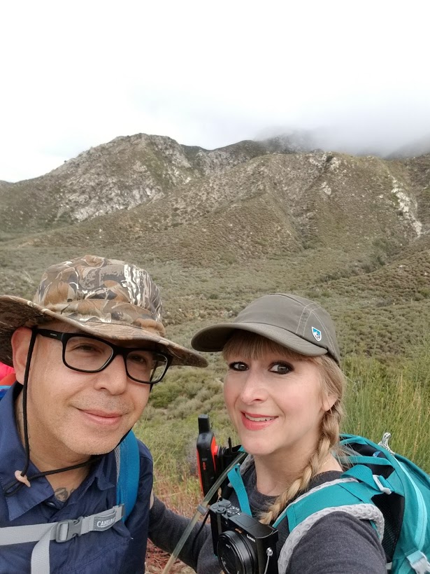
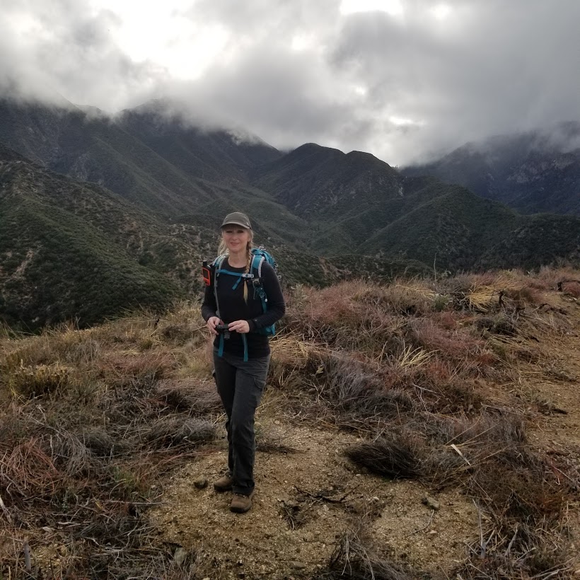
We had quite a bit of rain over the past two days, but it wasn’t cold enough to bring the beautiful snow down to the lower elevations like we had last weekend. I didn’t want to take my chances slipping and sliding on muddy trails or contribute to trail erosion, so today seemed like a good day to check out Josephine Peak which you can get to by hiking up a fire road. As we drove up Angeles Crest Highway, we could see the clouds nestled in the mountains. There were patches of fog, but the visibility was still pretty good. We started the hike just across from the Clear Creek Ranger Station. The mountains looked so beautiful surrounded by the passing clouds. I spent a lot of time taking photos of it all as we hiked up on a nice steady grade. As the trail looped us around Josephine’s north face, the scenery got even prettier. Finally, we reached the single track that would take us straight up to the peak. Once at the top, we were engulfed in the clouds. There wasn’t much visibility, but just for a moment the clouds broke up a little and I was able to get some great photos. I’m glad I took a lot of pictures on the way up because as we headed down, the fog really began to roll in and I could barely see anything as far as views. I decided to have some fun by taking photos of my husband as he disappeared into the foggy mist. It felt like we were walking in a dream. The weather definitely made this one interesting!

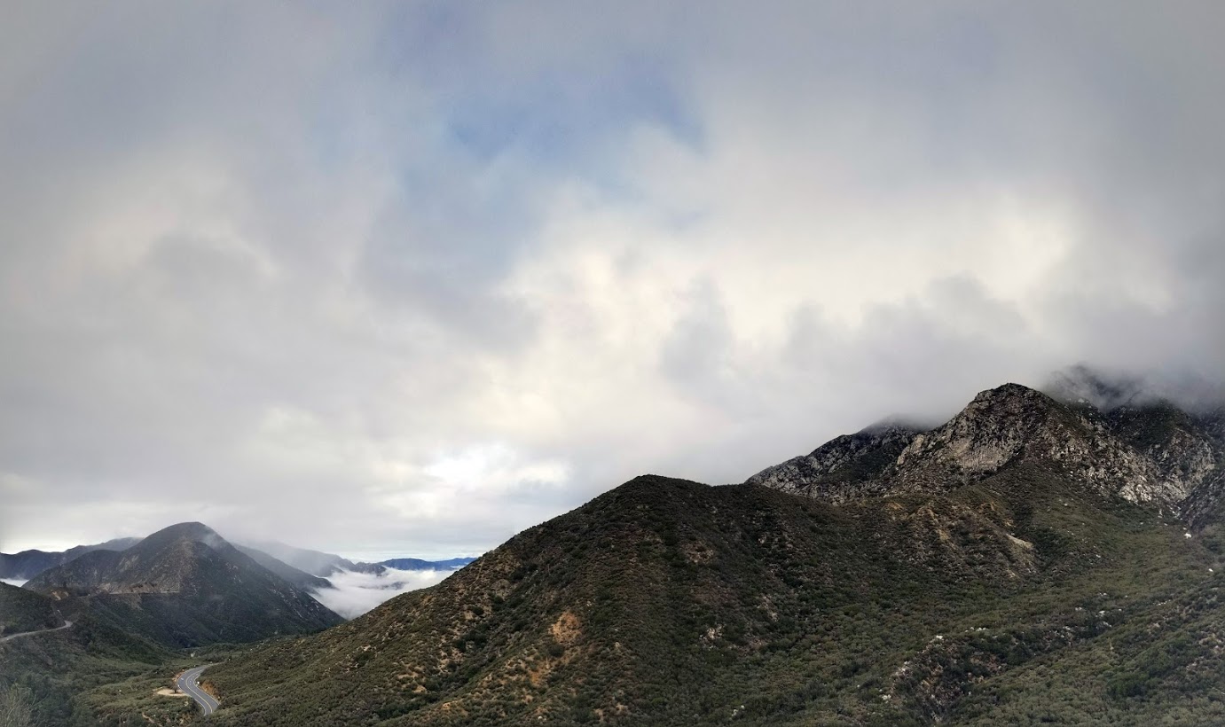
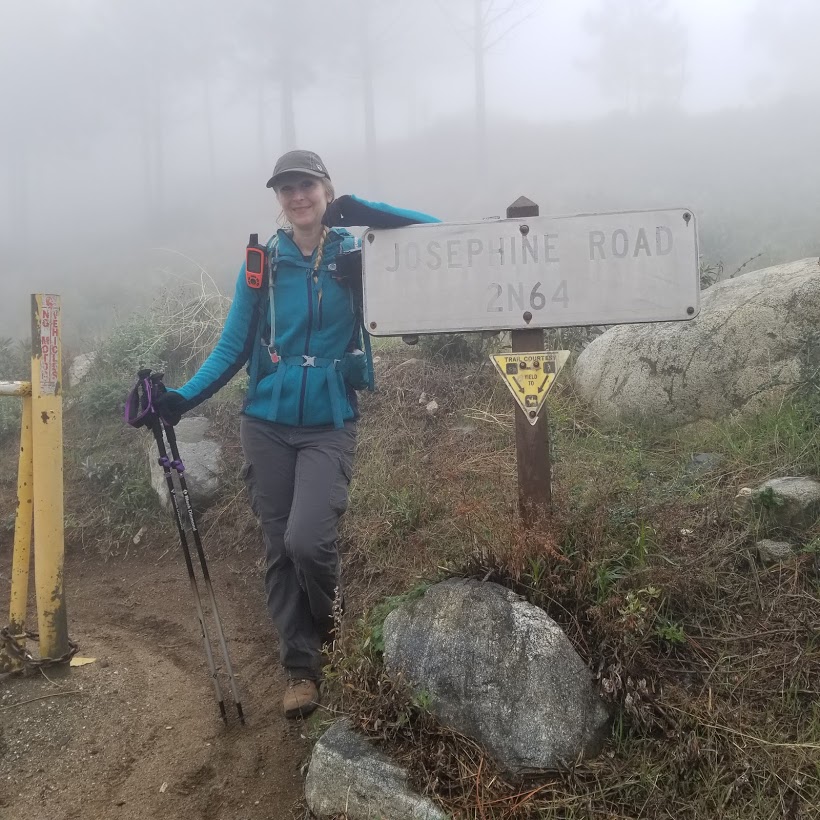
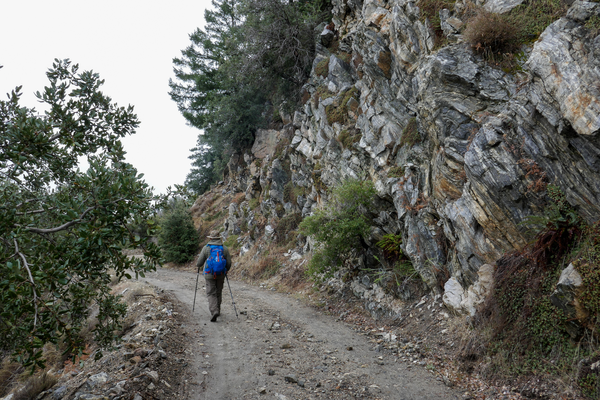
Starting out up the fire road just across from the Clear Creek Ranger Station.

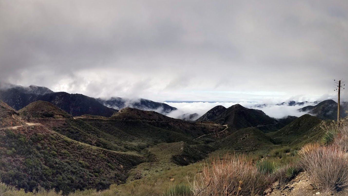
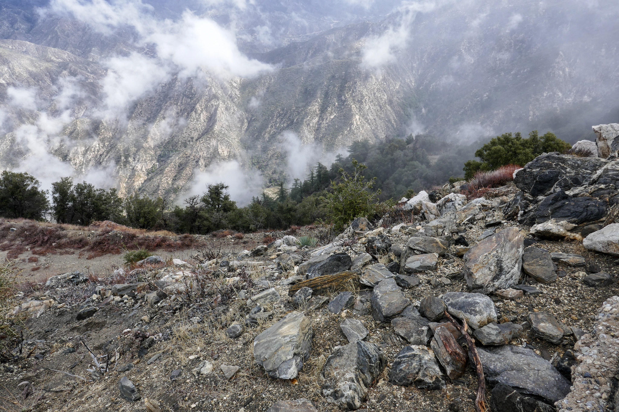
Lots of low clouds made it very pretty.

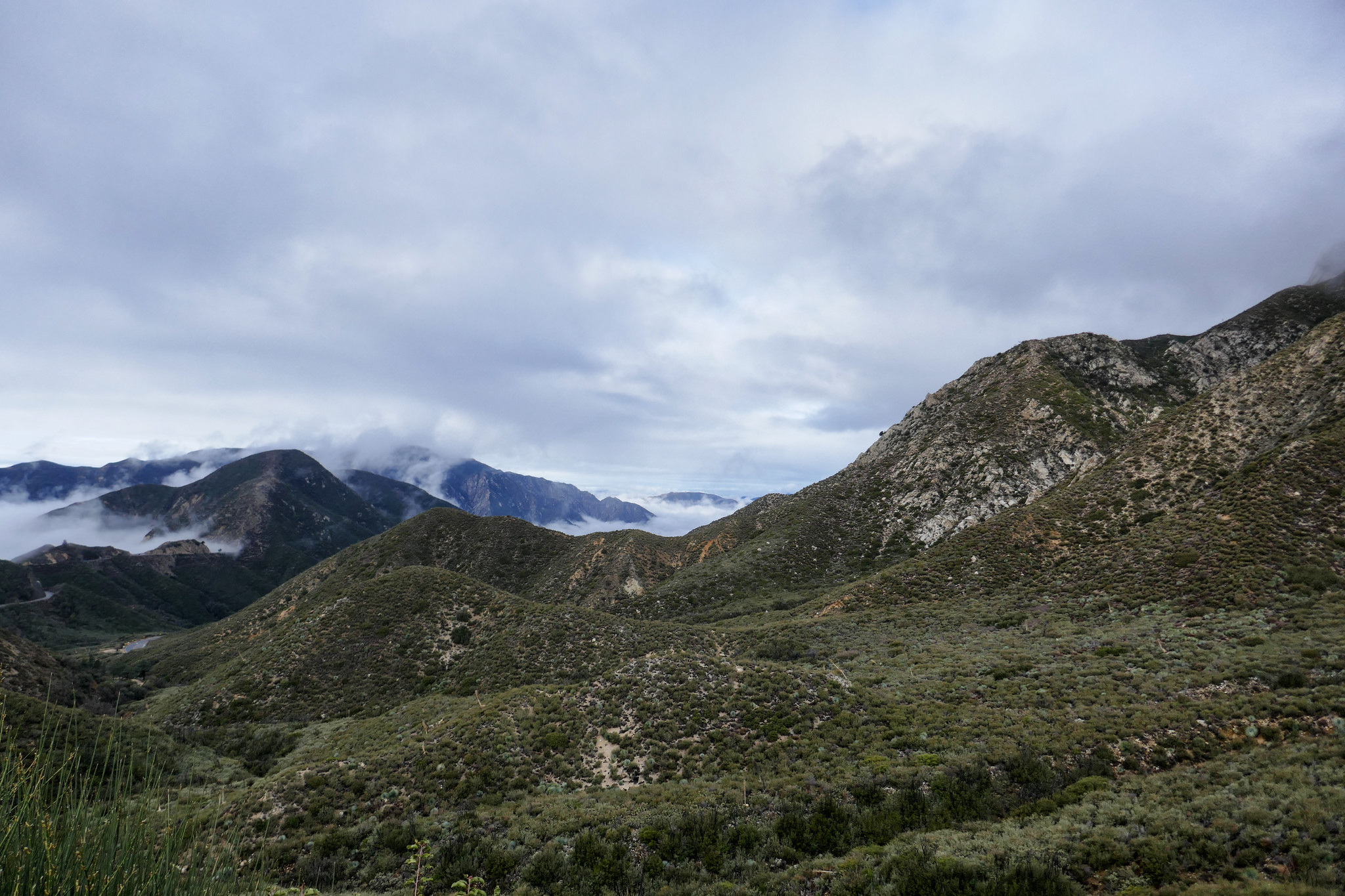


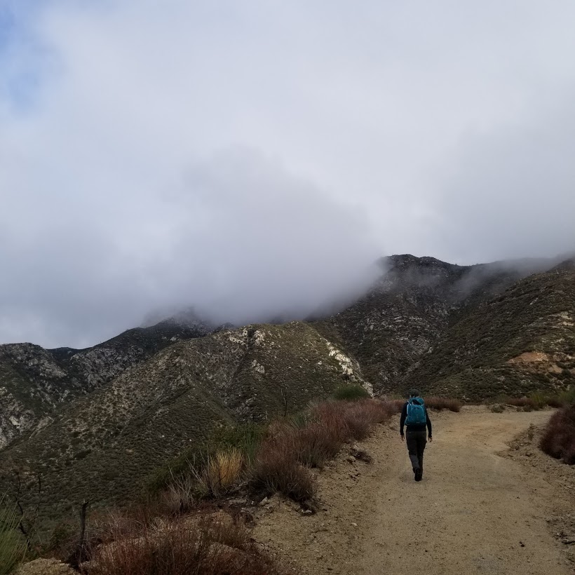
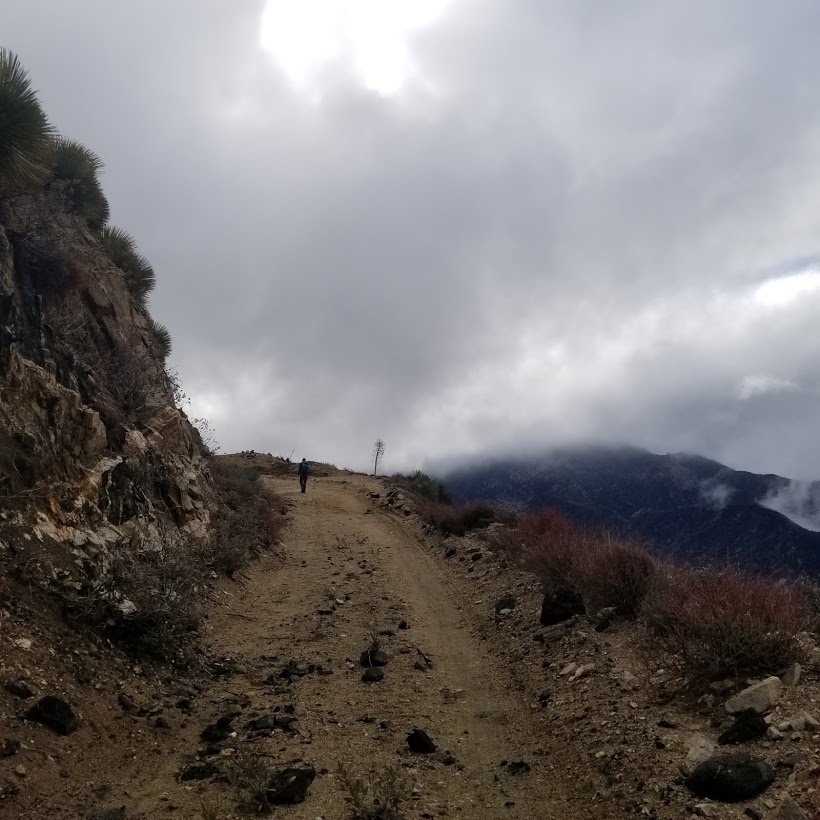
This is the ridge where the trail will take you to Strawberry Peak. Strawberry Peak is hidden behind the clouds.


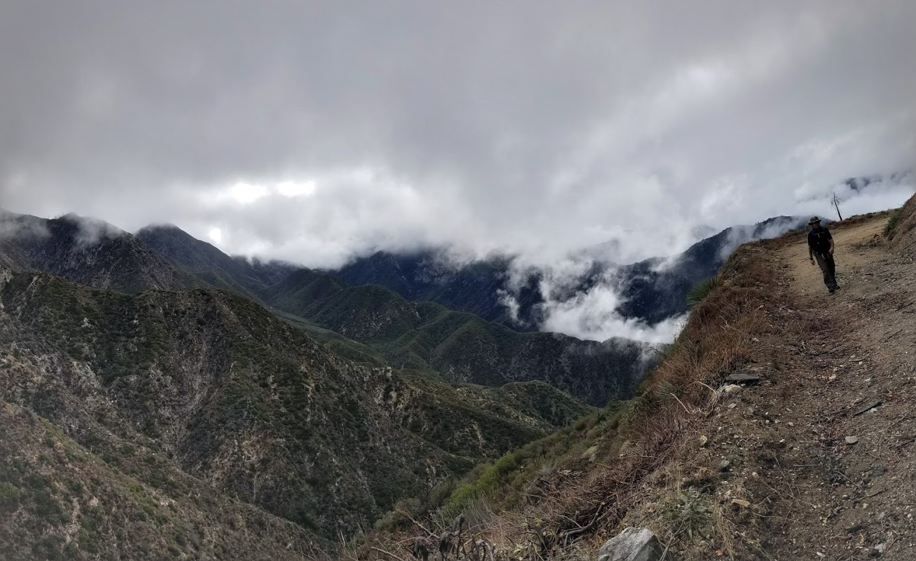
This is the north face of the mountain. I really liked this section.


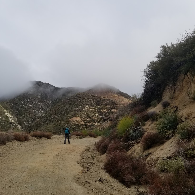
Just around the corner is the use trail to the peak.

Just a short climb up.

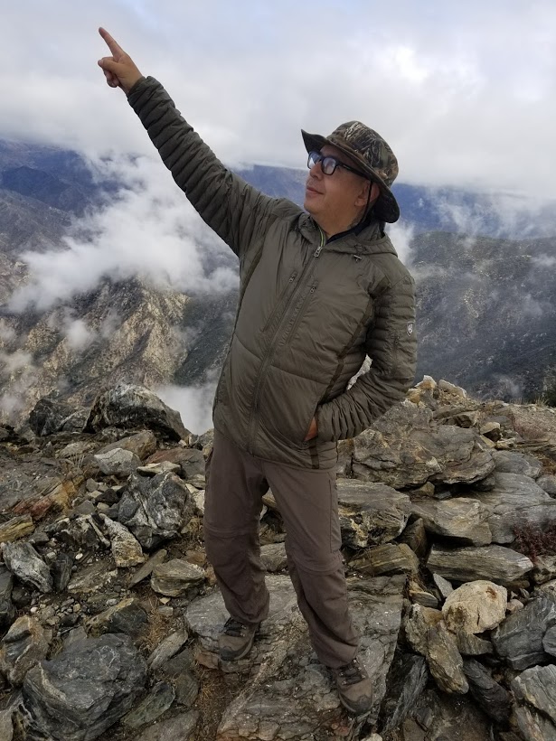
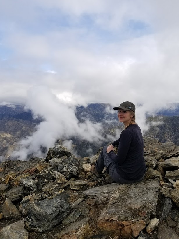
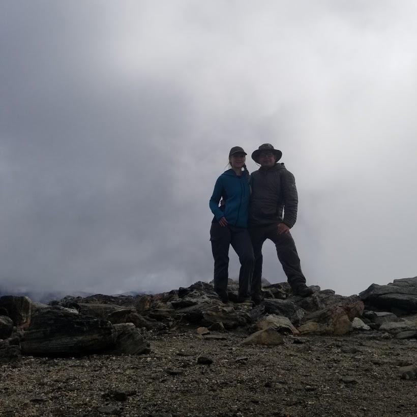
At first the peak was engulfed in a cloud and we had no views. It was still very cool.


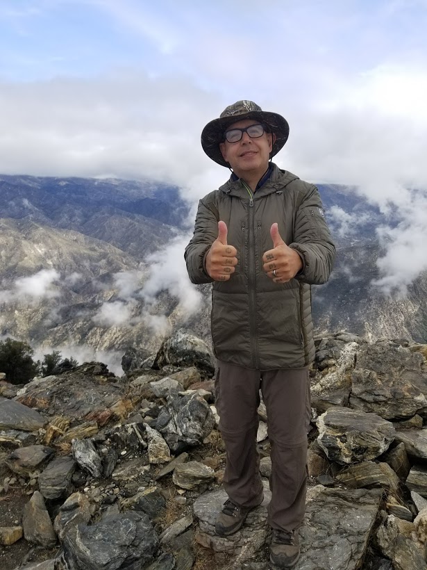
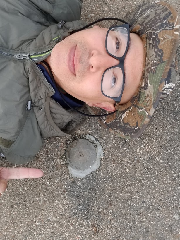
The USGS marker. It says Mt. Lowe. I'm not sure why.

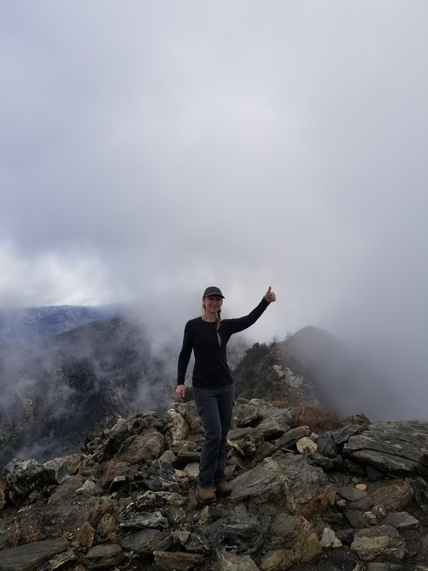
And then suddenly a break in the clouds! Spectacular!


Heading on back.

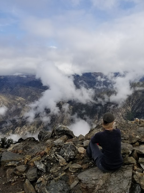
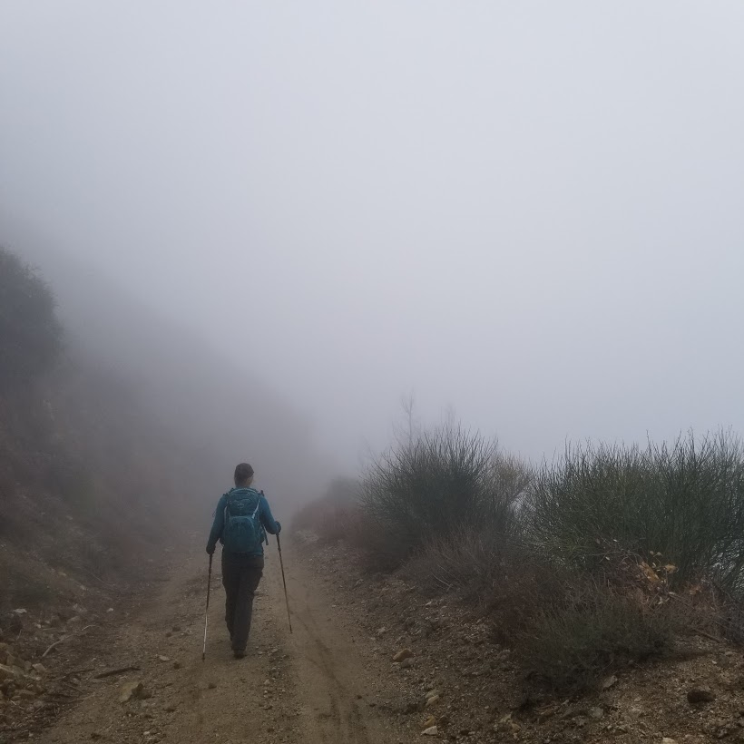
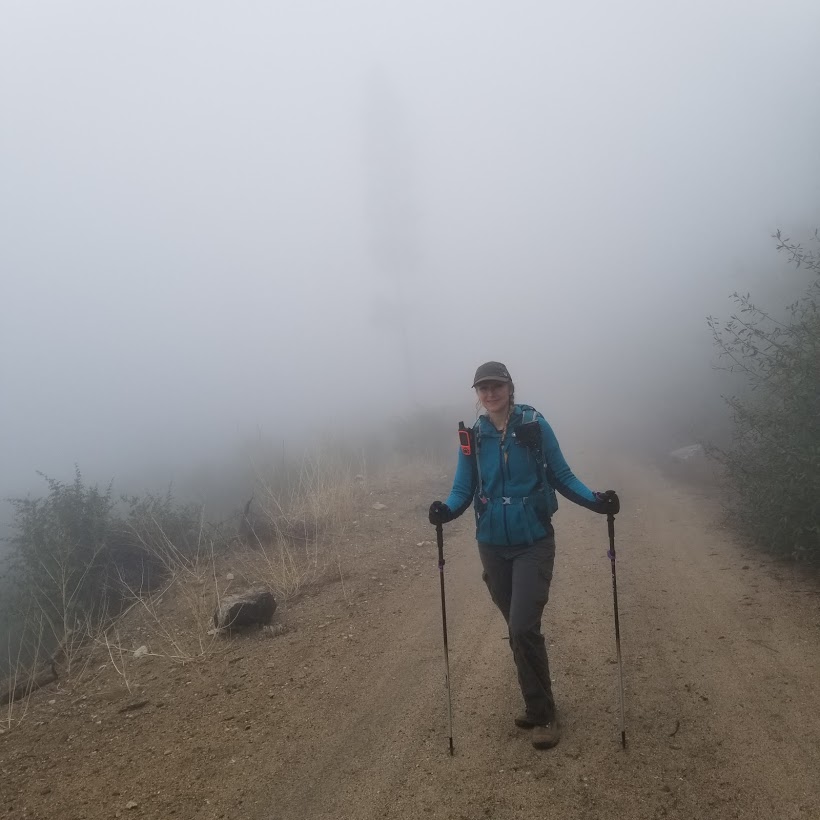
The clouds and fog were really rolling in now.


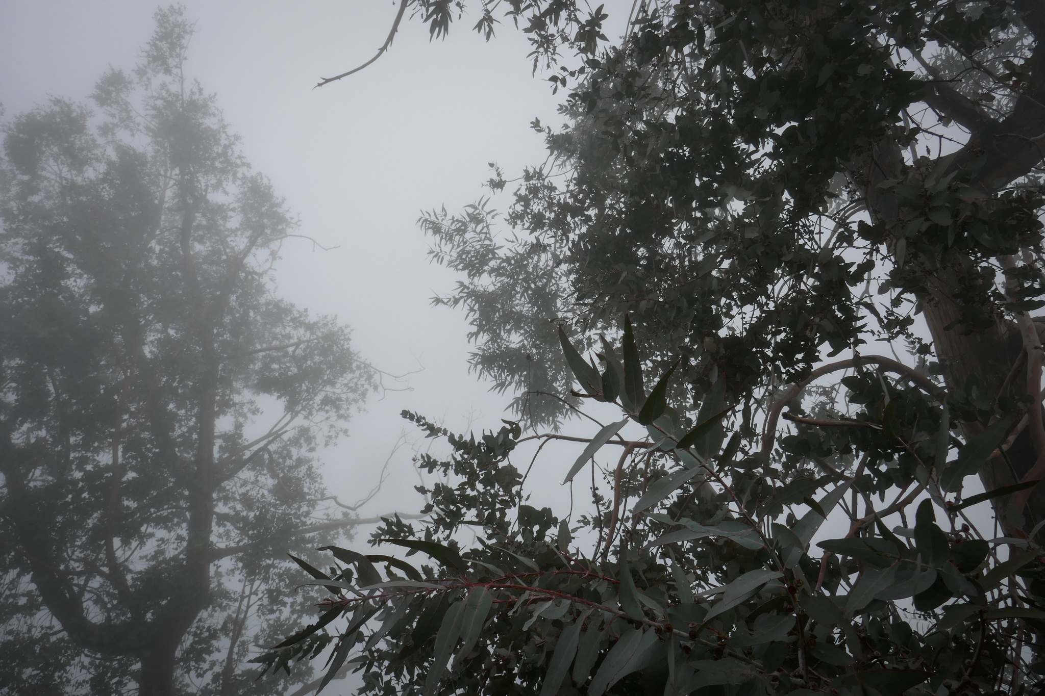
The eucalyptus trees and sage smelled so incredible. It was like an aromatherapy session.

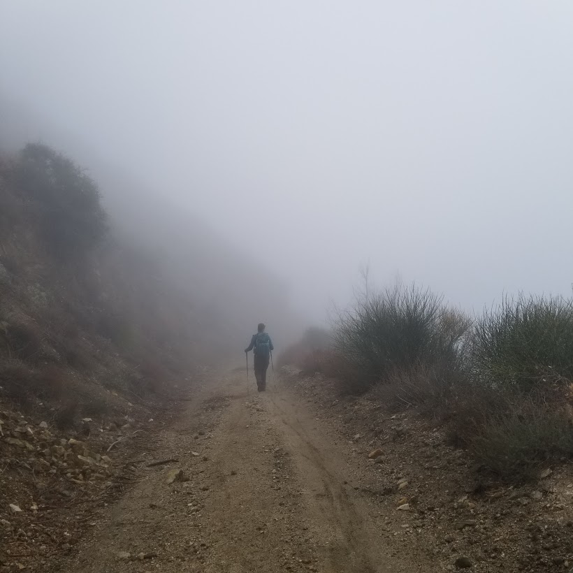
We were just about back to the start of the trail here. It was like walking in a dream.