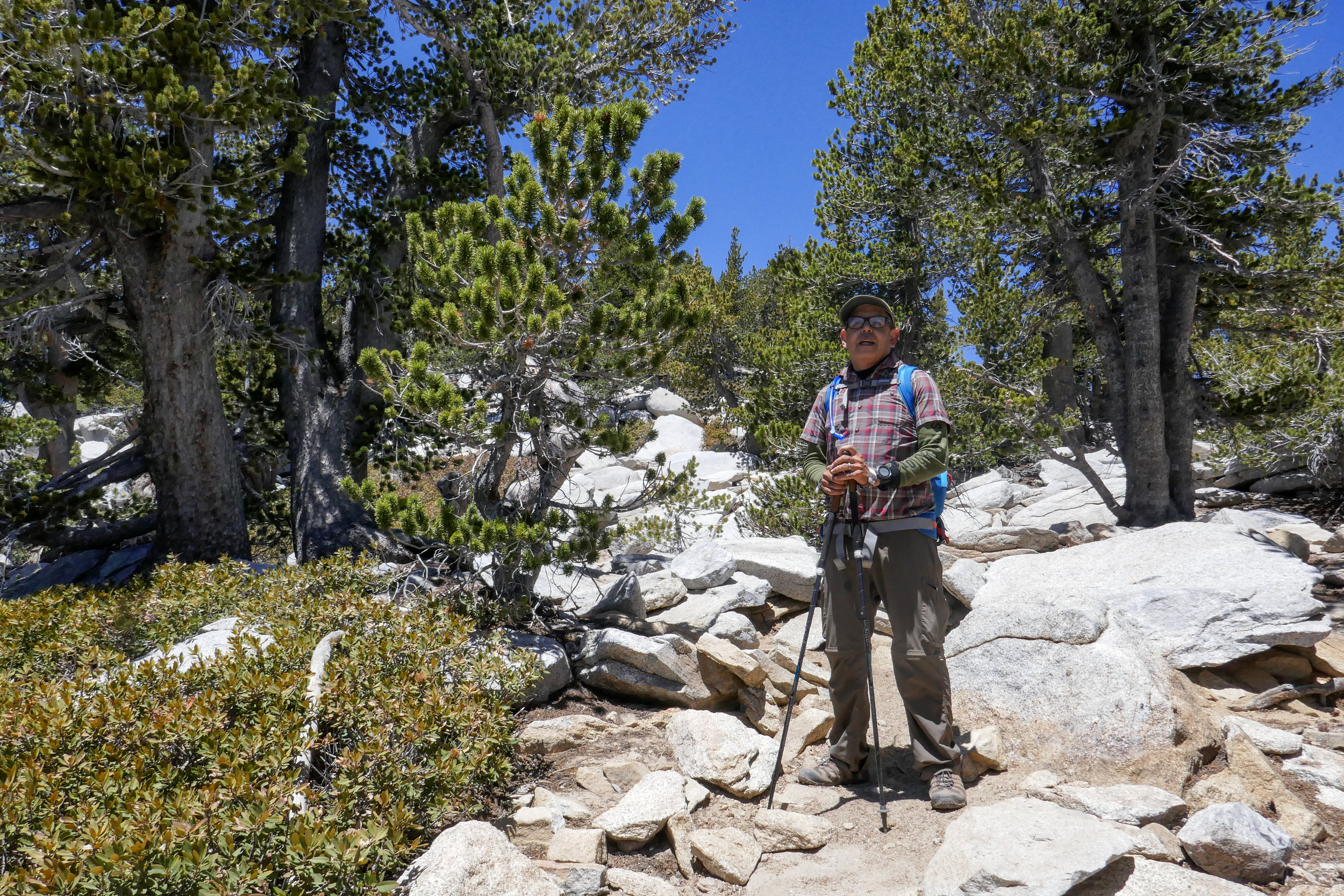
I took the day off on Friday so we could revisit San Jacinto Peak. We were thinking about hiking up from Marion Mountain, but first I wanted to try it again from Long Valley, so we made a fun day out of it by taking the Palm Springs Aerial Tramway way up to start the hike out at 8,516'. Just as I remembered, the San Jacinto Wilderness was absolutely breathtaking. Also, just as I remembered, the altitude kicked my butt! It was a slow and steady climb for me today, but with the beautiful forest and the amazing scenery I wasn't complaining about taking my time. As we approached the summit, the trail disappeared into the pile of boulders that I had been so nervous to climb last time we were here. This time, knowing what to expect, I had no problem. It was actually a lot of fun climbing up those rocks this time! We spent some time at the summit, had some lunch and enjoyed the expansive views. Hardly anyone up here today. It was so pretty with all the fluffy clouds passing just below the peak. After we were done soaking in the views, we began our descent and I made sure to take plenty of photos to remember the day. We hope to be back again sometime before the year is over to try this one from Marion Mountain.

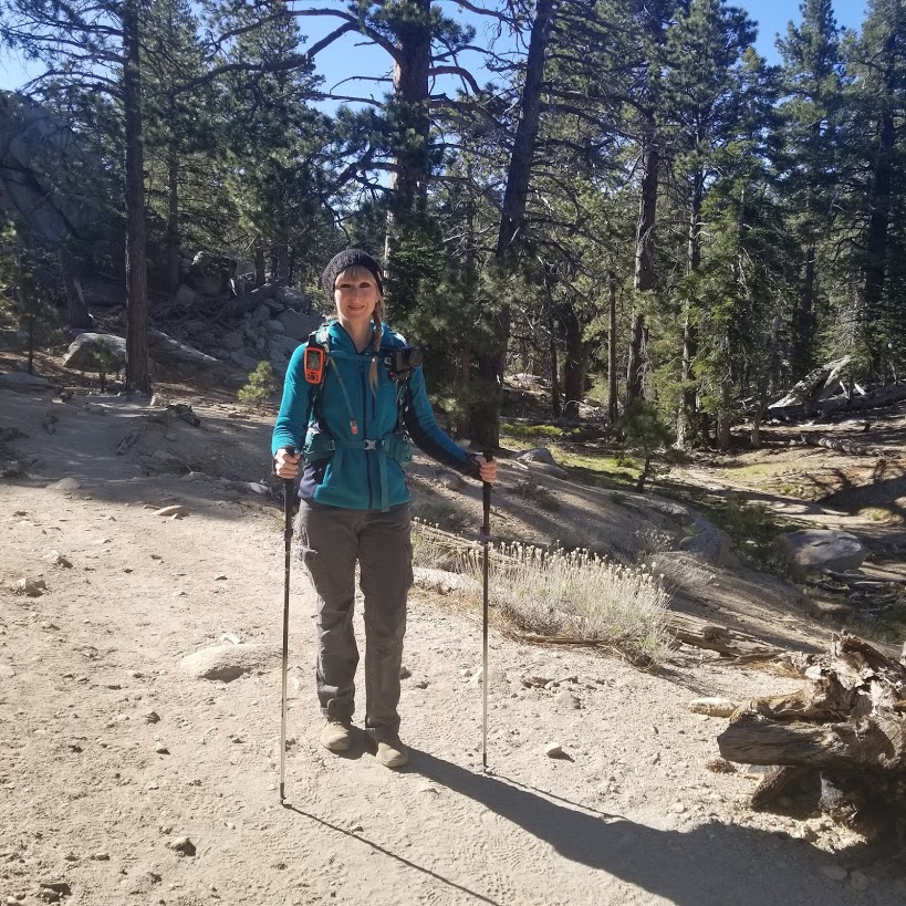
Stepping into this beautiful wilderness.

Heading out of Long Valley and onto the peak.


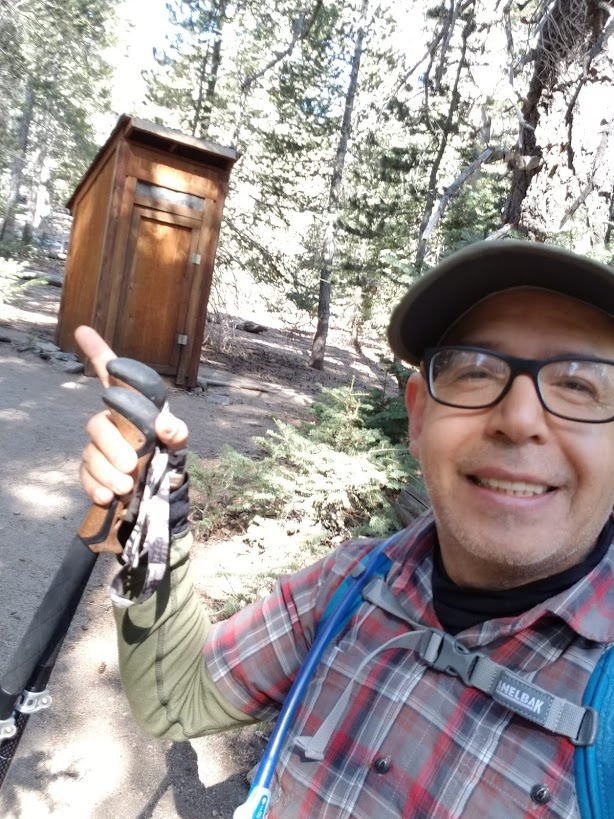
There are some primitive bathrooms just before you reach Long Valley.

Looking over at the meadow.

Round Valley junction. There is a water spigot here. It was running today.

Reaching the junction at Wellmans Divide. The views are pretty great from here.


Trail sign at Wellmans.

After leaving the forested area, the trail climbs up a more exposed section of trail. The views open up and it is absolutely lovely.


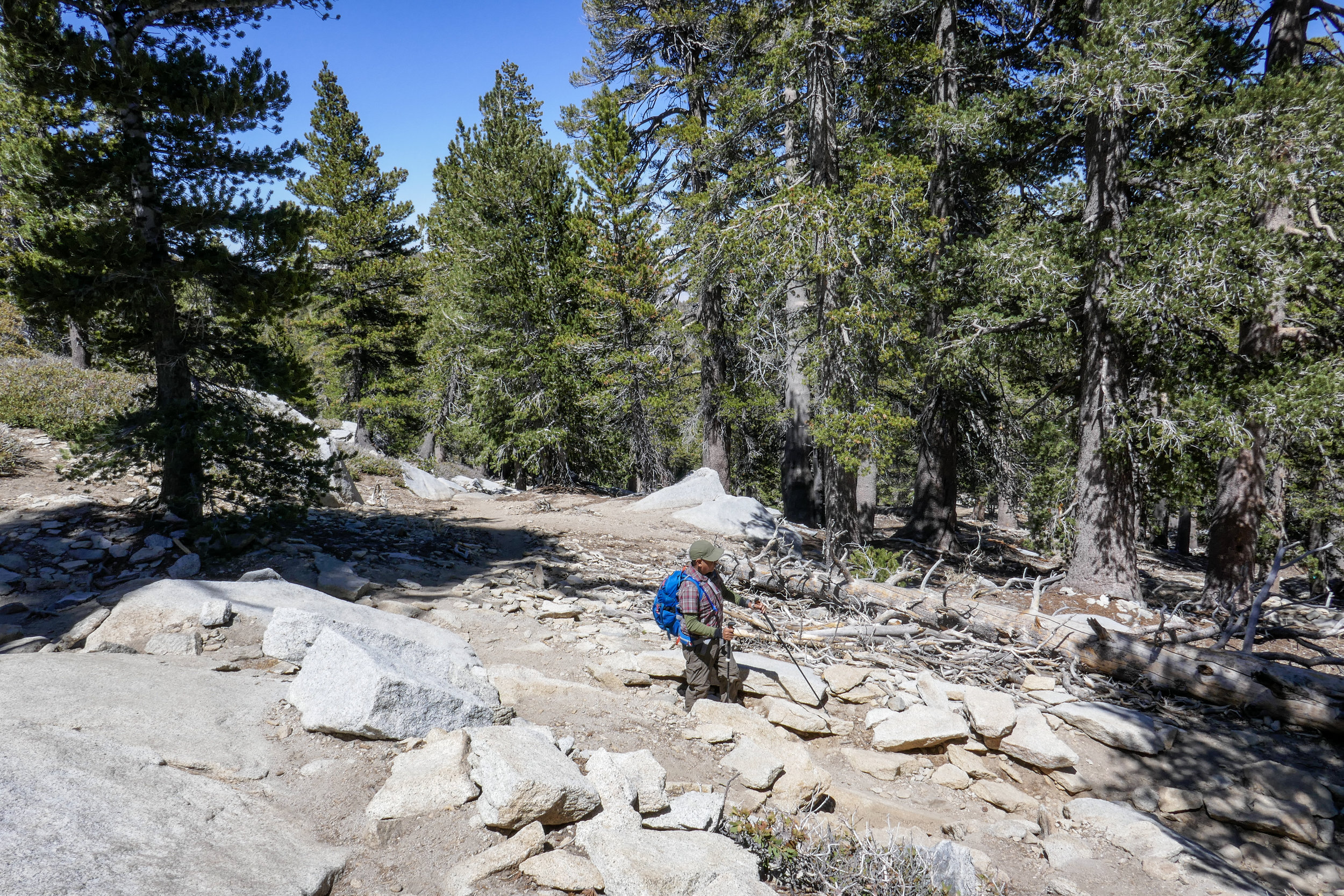
Here the trail ducks back into a forested section for a short while.


This section is relatively flat. It's a nice breather before you start to climb again.
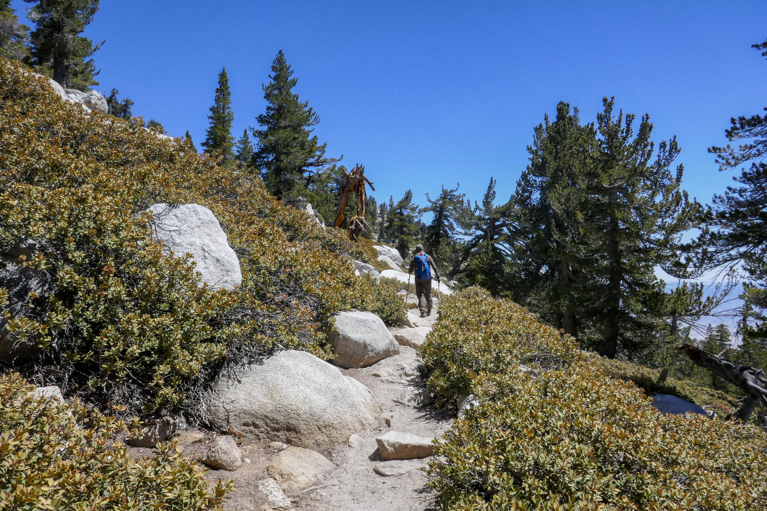
At this point the switchbacks start. They are long and exposed and you'll continue to have amazing views.


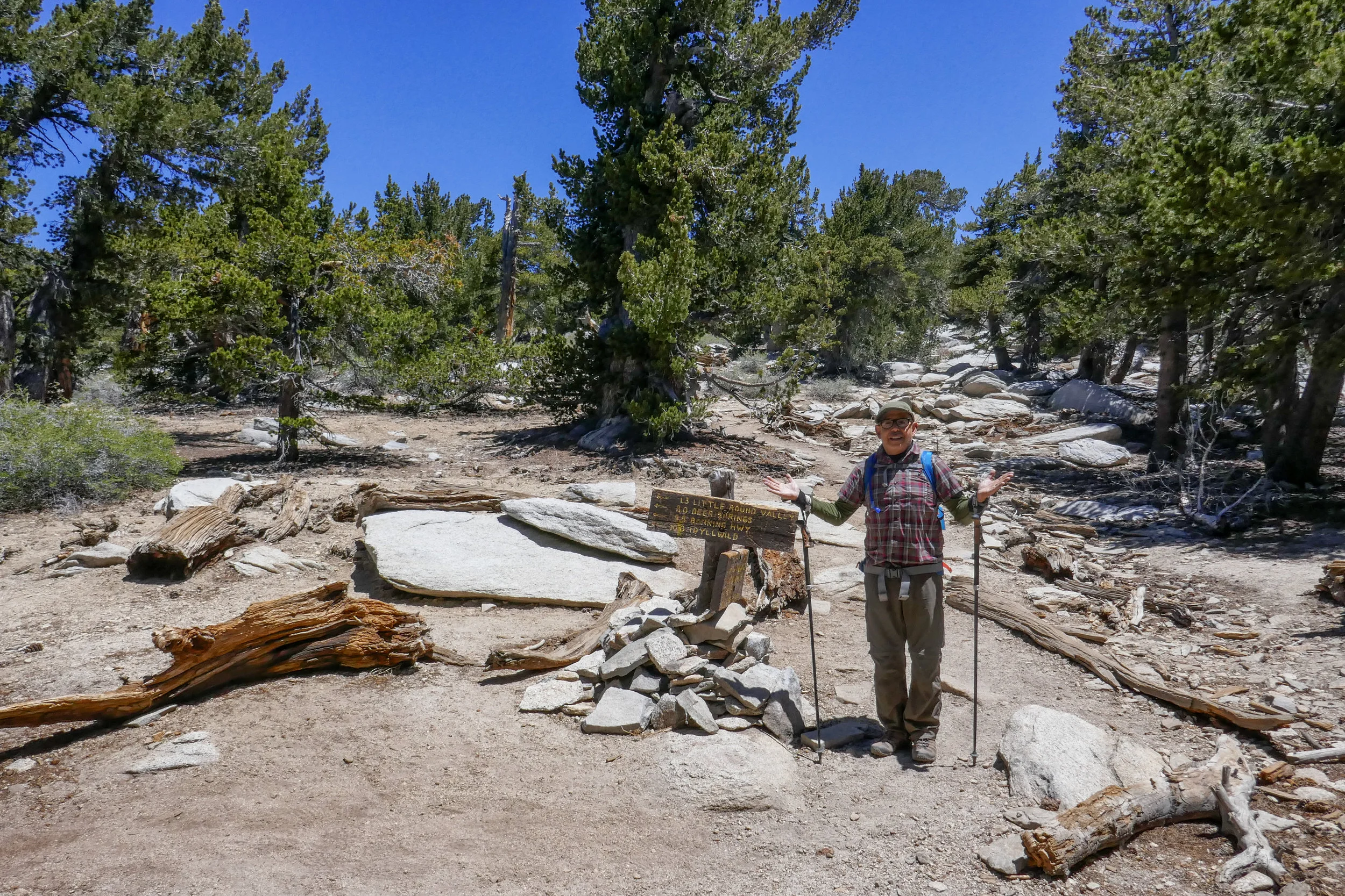
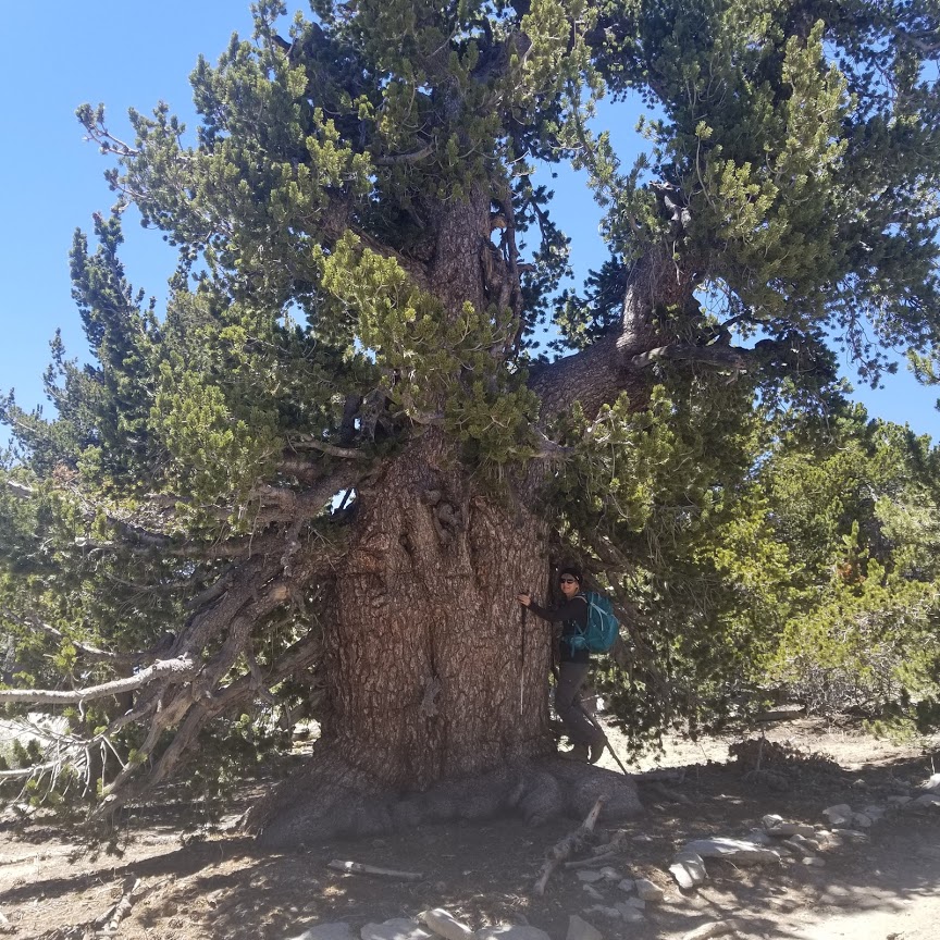
At the junction where several of the other trails meet up. It's not long after this section that you'll reach the peak.


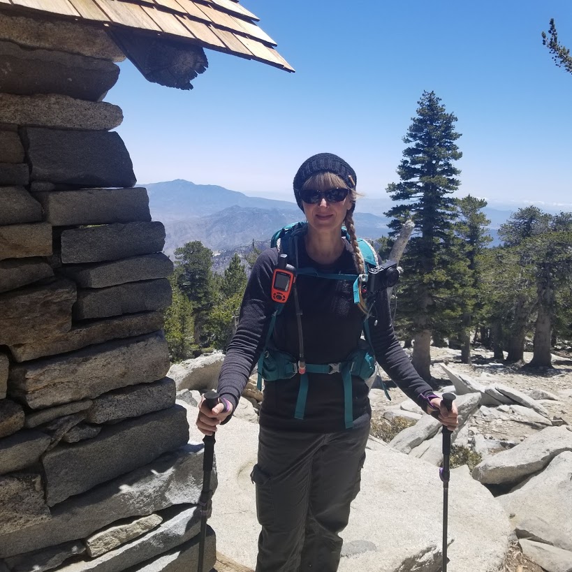
The emergency shelter. Almost to the top.
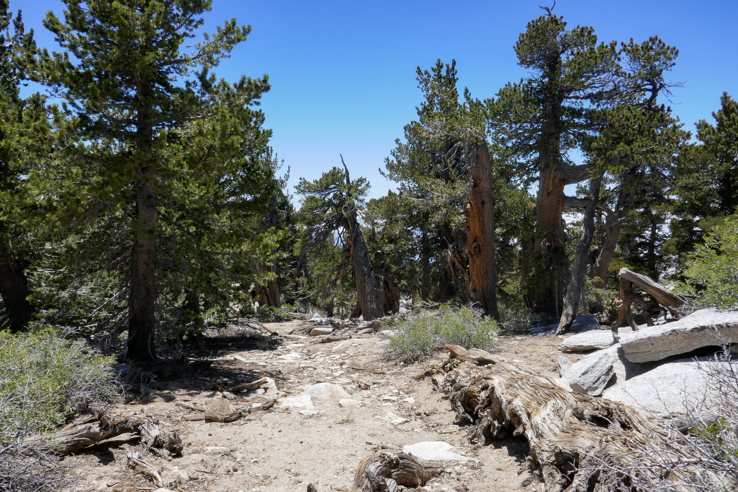
Shortly after the emergency shelter, the trail becomes more rocky. It's not hard do follow.

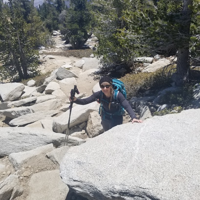
Eventually, the trail dissolves into a large pile of boulders. You're on your own at this point to find your way up, but once you do, you're at the peak!

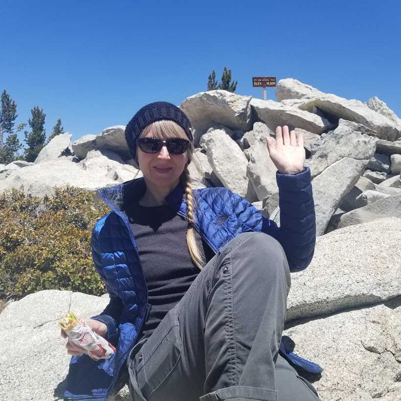
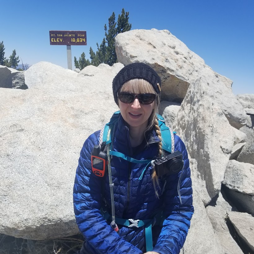
The summit sign above a sea of clouds.
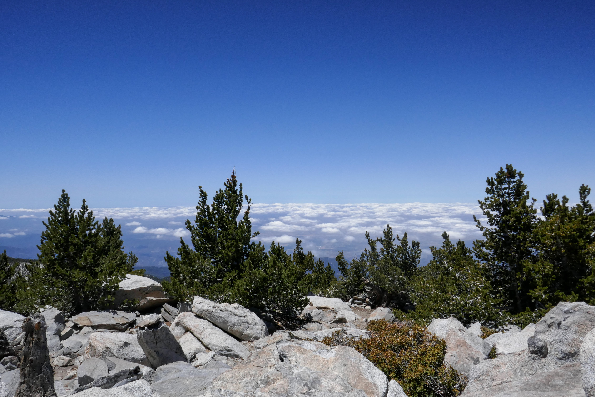


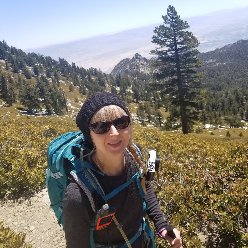
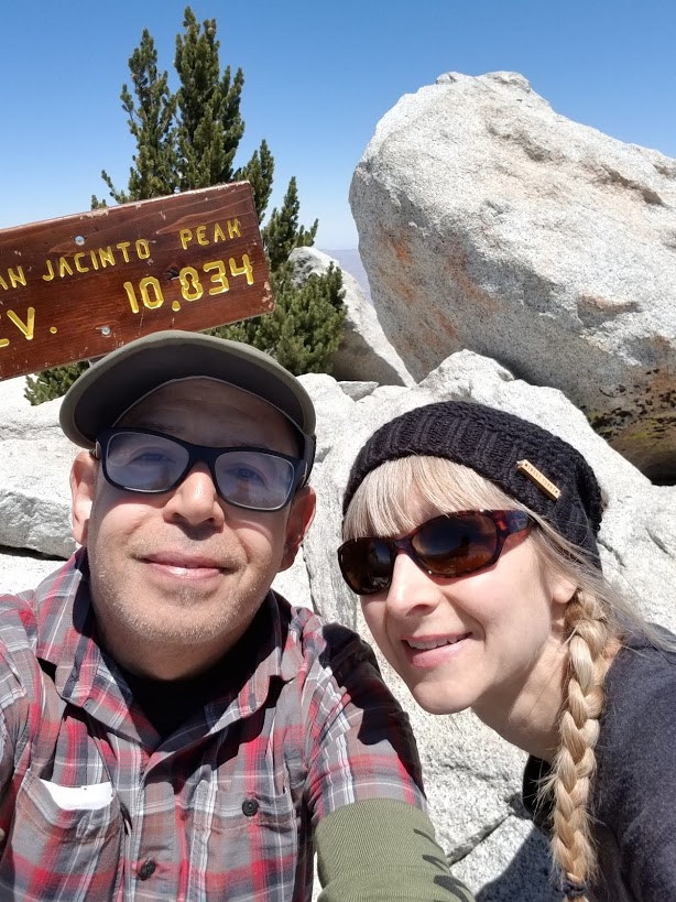
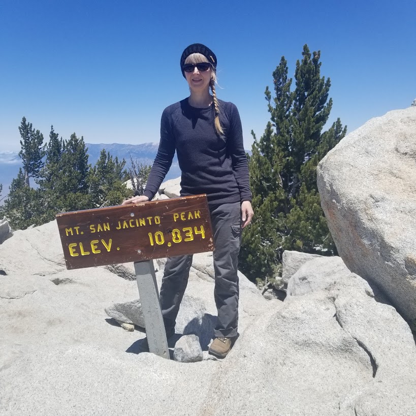
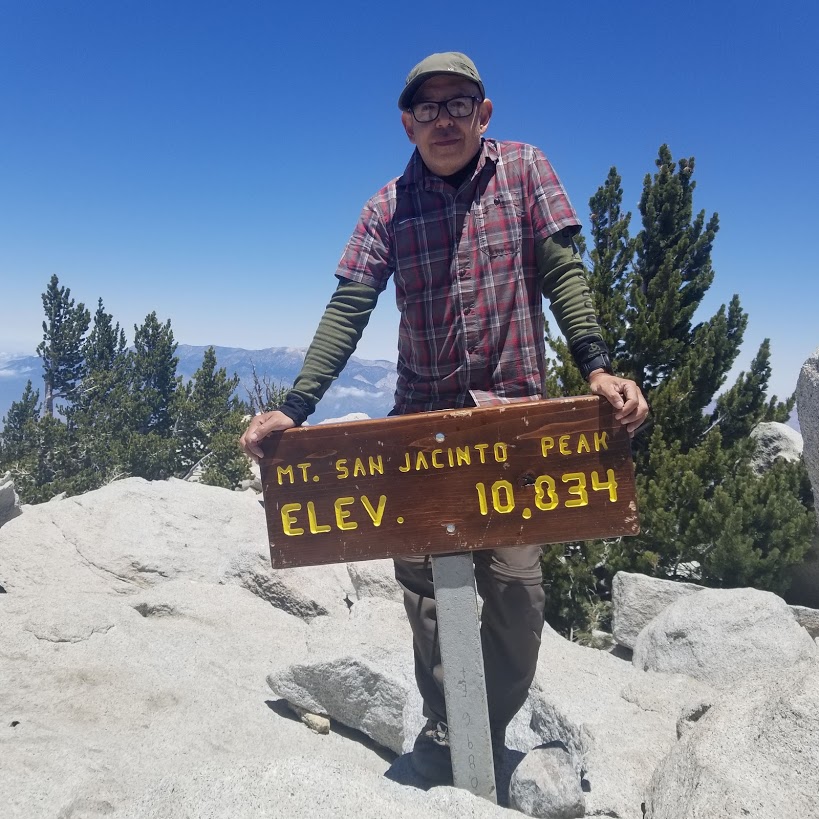
360 views. Pretty awesome being on top of the second highest peak in Southern California!


Soon it was time to start making our way back.

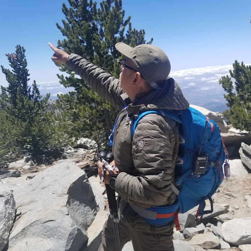
Looking over at Jean Peak.


Turning around to look at all those rocks we had just climbed to reach the top.

One more photo of the shelter before heading back.


Here's a photo of the meadow from atop one of the long switchbacks.


Back at Wellmans Divide.


Water spigot at Round Valley.


Beautiful Corn Lily. These plants only grow at high altitude.

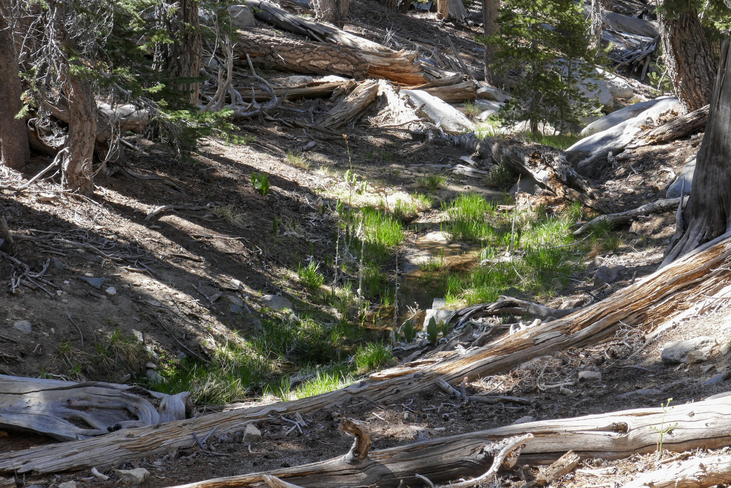
Water flowing in the creek along the trail.


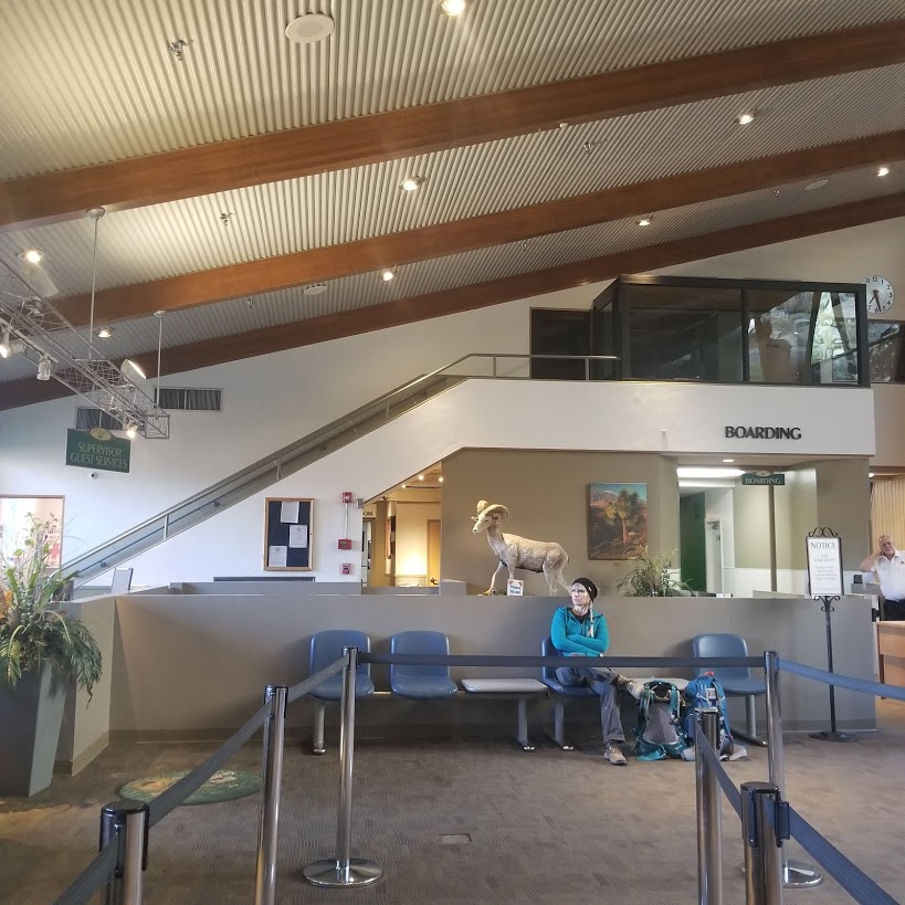
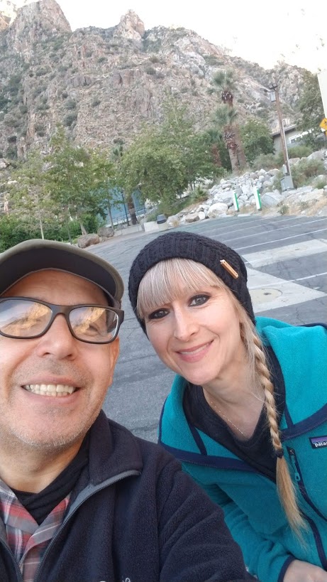
Back at the Long Valley Ranger Station! What a great day!