Kratka Ridge has been on my radar to hike for quite some time. We made a plan this weekend to go check it out and when mapping out the route, I added nearby Peak 7160 to the plan. The whole hike was only a little over two miles, but in that short distance we were offered amazing views, a fun, steep climb and plenty of solitude. We arrived at the trailhead at the Vista Picnic Area around 6:30 am. The route wasted no time ascending quickly and offering great views. As we continued there were sections where the ground was soft and the footing was loose making the going more challenging. It wasn’t long before we reached the ruins of an old, wooden ski lift that had been in operation from the 1950s up until 2001. Now its deteriorating structure sits abandoned with single seat ski lift chairs hanging from the cables. We spent some time exploring the structure and tried to imagine what it had been like when it was up and running. We sat inside the old ruins looking down the mountain towards the rickety lift chairs enjoying each other’s company and the quiet of the morning until it was time to continue up to the high point on Kratka ridge. Behind the ski lift I discovered what looked to be a use trail that would require some scrambling up rocks and tree roots to reach the top. I continued to explore the area looking for the best way up and just a little further past the wooden structure I found another use trail on the side of the slope that would also take us to the top. The trail was narrow and a bit loose, but I felt comfortable enough to negotiate it to reach the high point from this route. At the top of Kratka Ridge we were rewarded with some of the most excellent views of Bear Creek Canyon and the San Gabriel Wilderness I have ever seen. I could identify Mount Williamson, Waterman Mountain, Twin Peaks and many of the other surrounding mountains from the viewpoint. After we were done taking it all in, we found another faint trail which followed the wilderness boundary. I figured it would take us back to the scramble behind the lift and sure enough it did. We then began our descent down the mountain being extra careful on the slippery sections. As we descended I could see Peak 7160 right in front of us. There wasn’t much of an established way up, so we started heading towards its high point. The ascent was steep, but the footing was fine. Along the way I found a heart that someone had made out of pinecones. When we reached the summit, I found another one made out of stones. So cute! From Peak 7160 we had a great view looking back over at Kratka ridge and down into the canyon. It was a lovely day. Although it was short, this hike is definitely a favorite!

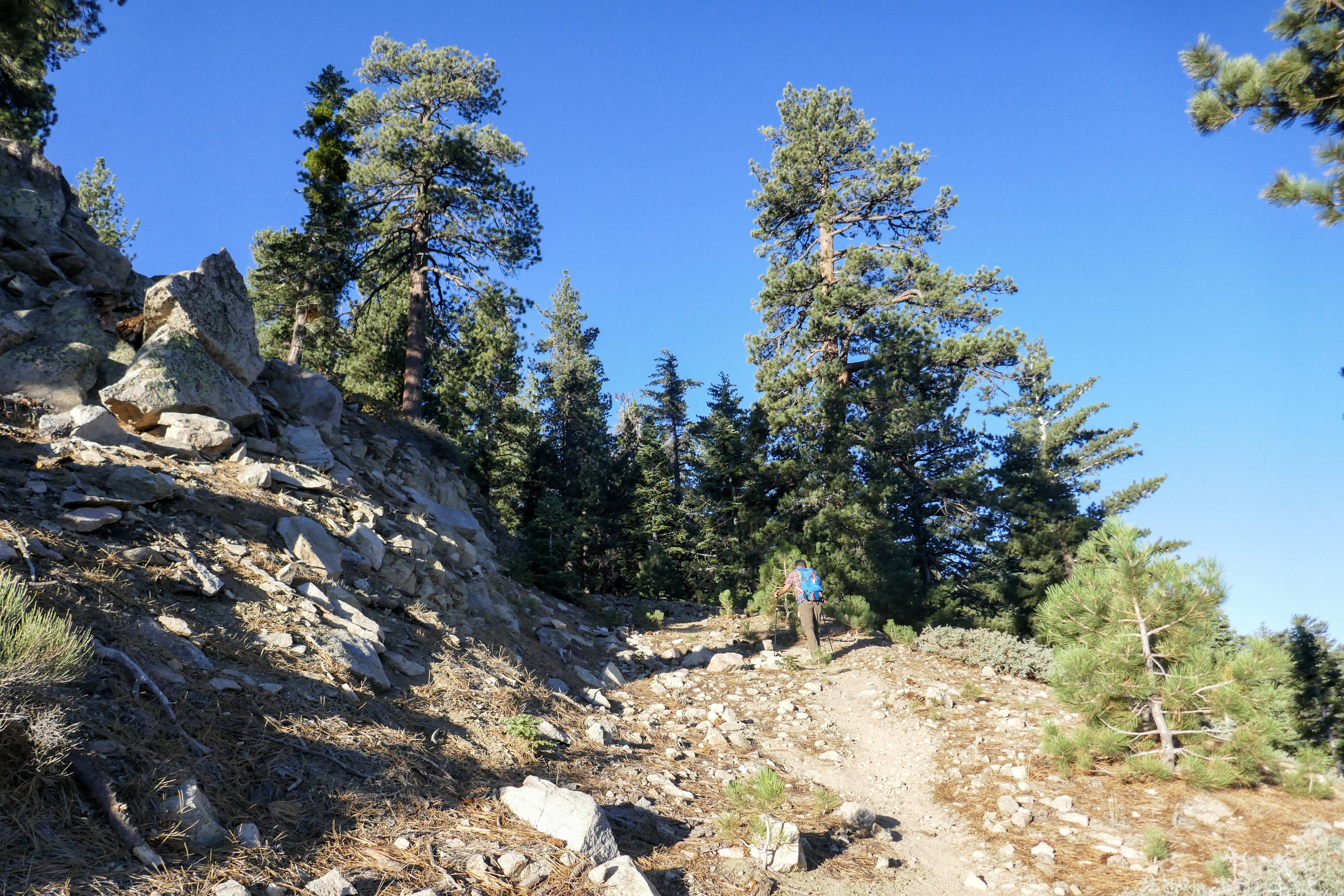
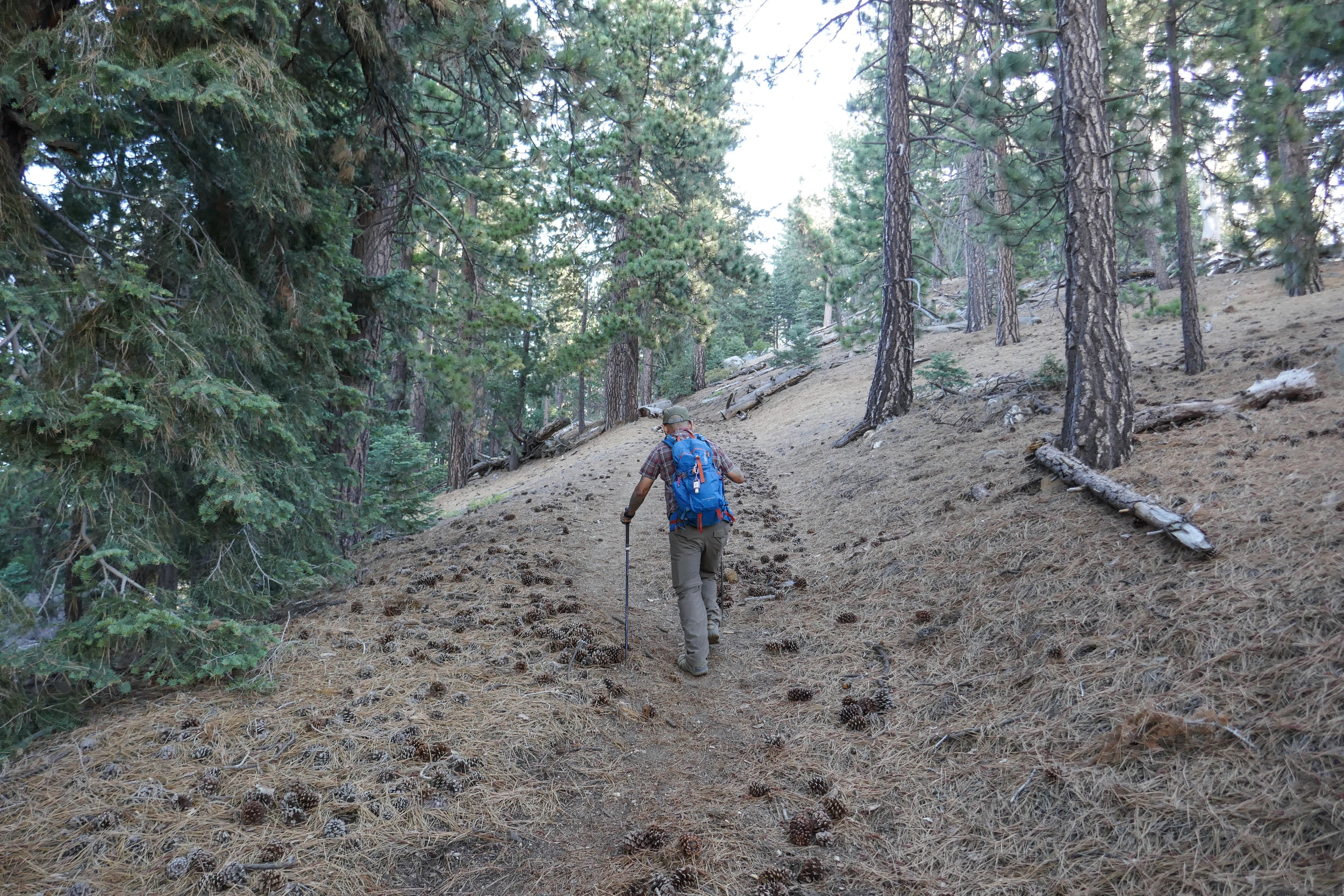
Starting the hike from the Vista Picnic Area.

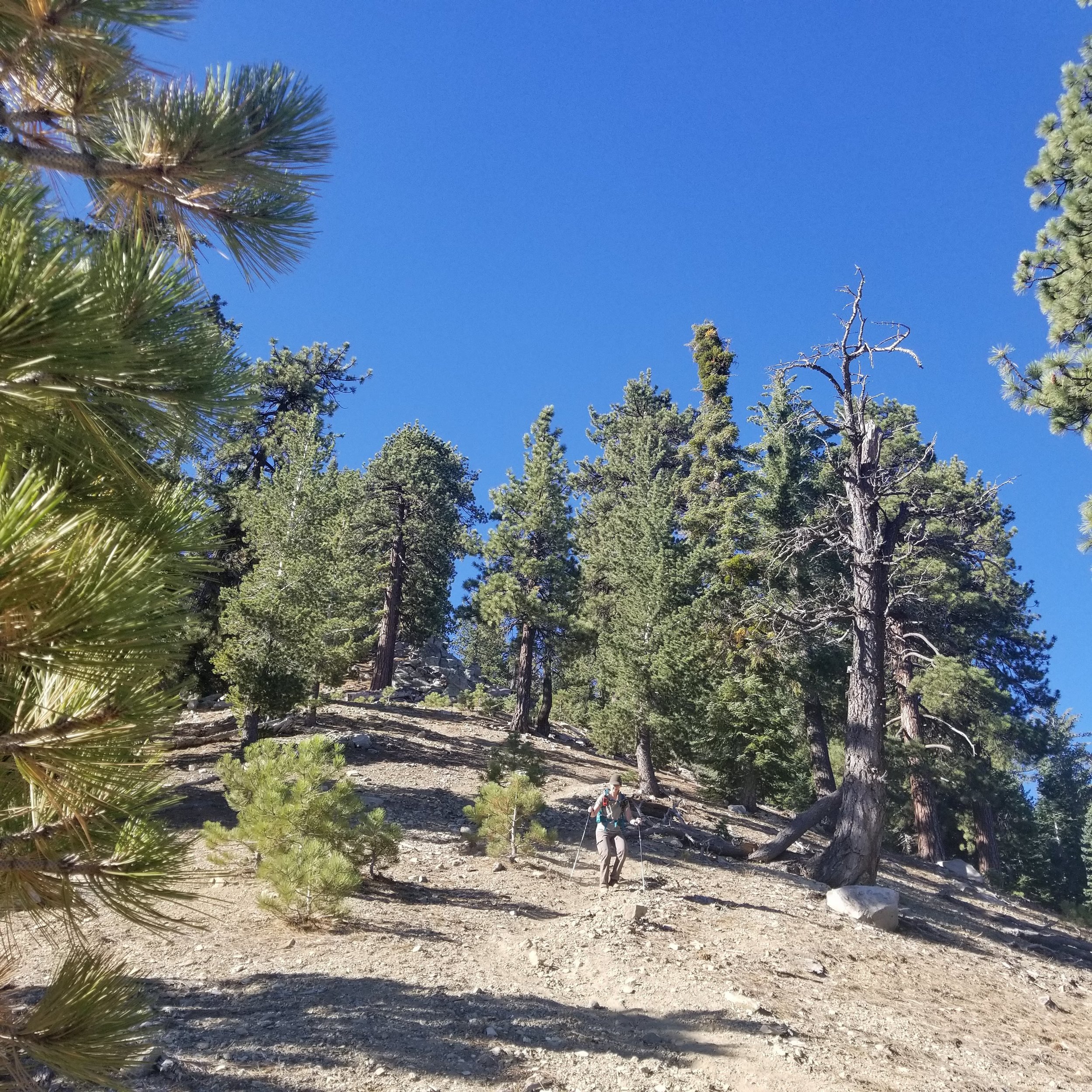
The route ascends quickly and steeply right from the beginning.

Views open up rather quickly.


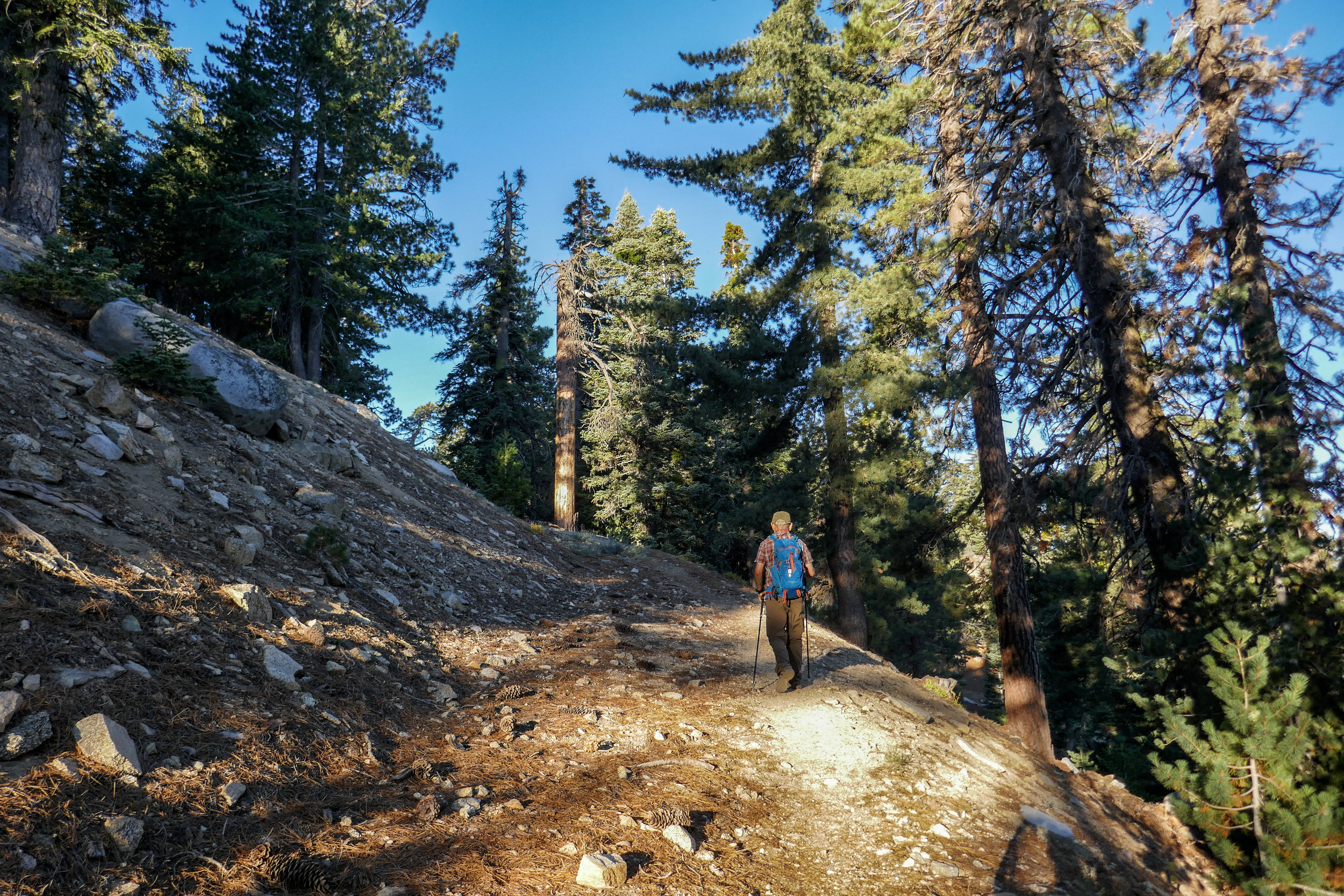
Beautiful morning light in the forest.


There are many vista points to explore and enjoy the views.

Here the trail gets even steeper. The ground is soft with lose rock so we had to make sure to get good footing as we were climbing.

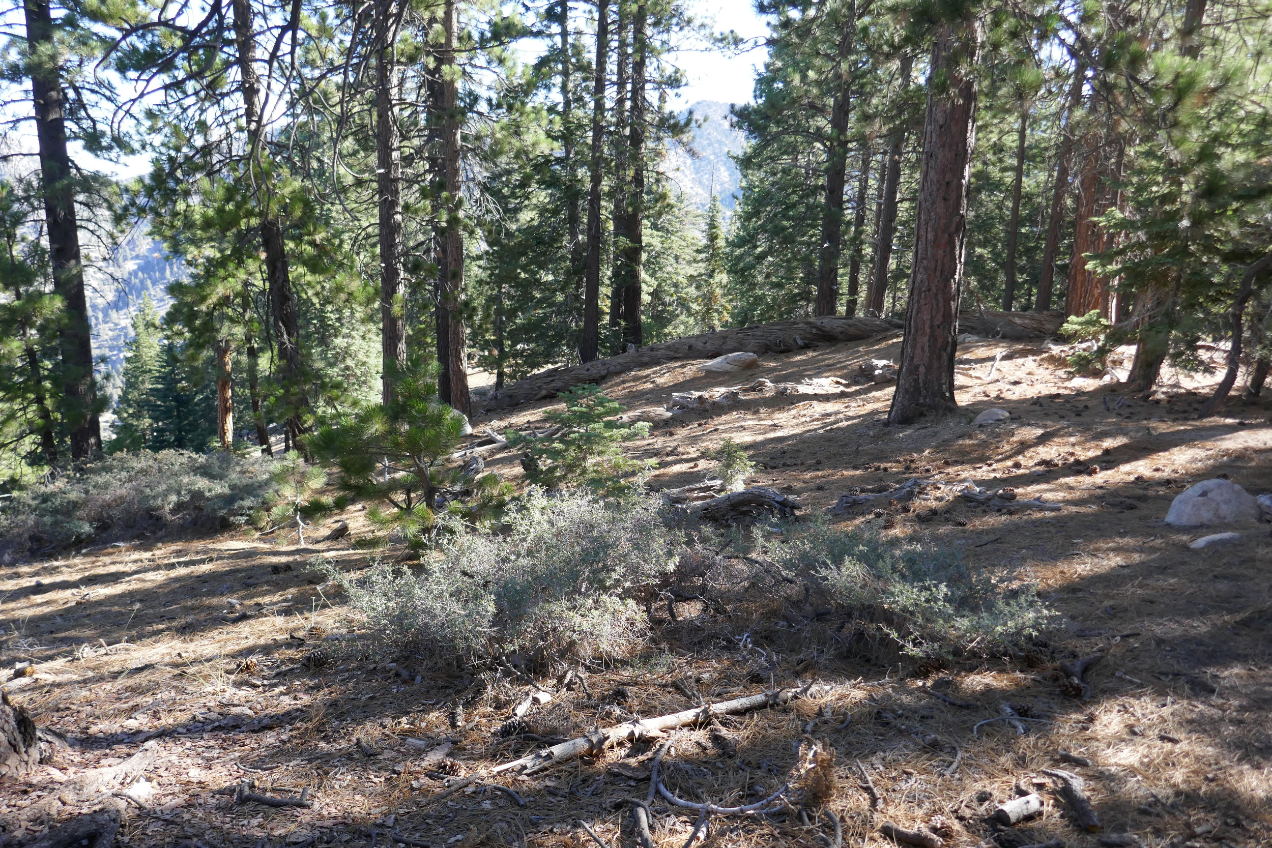
Here the ground was more stable.


I took a photo looking back. Sometimes it's hard to tell by photos how steep the trail actually is.

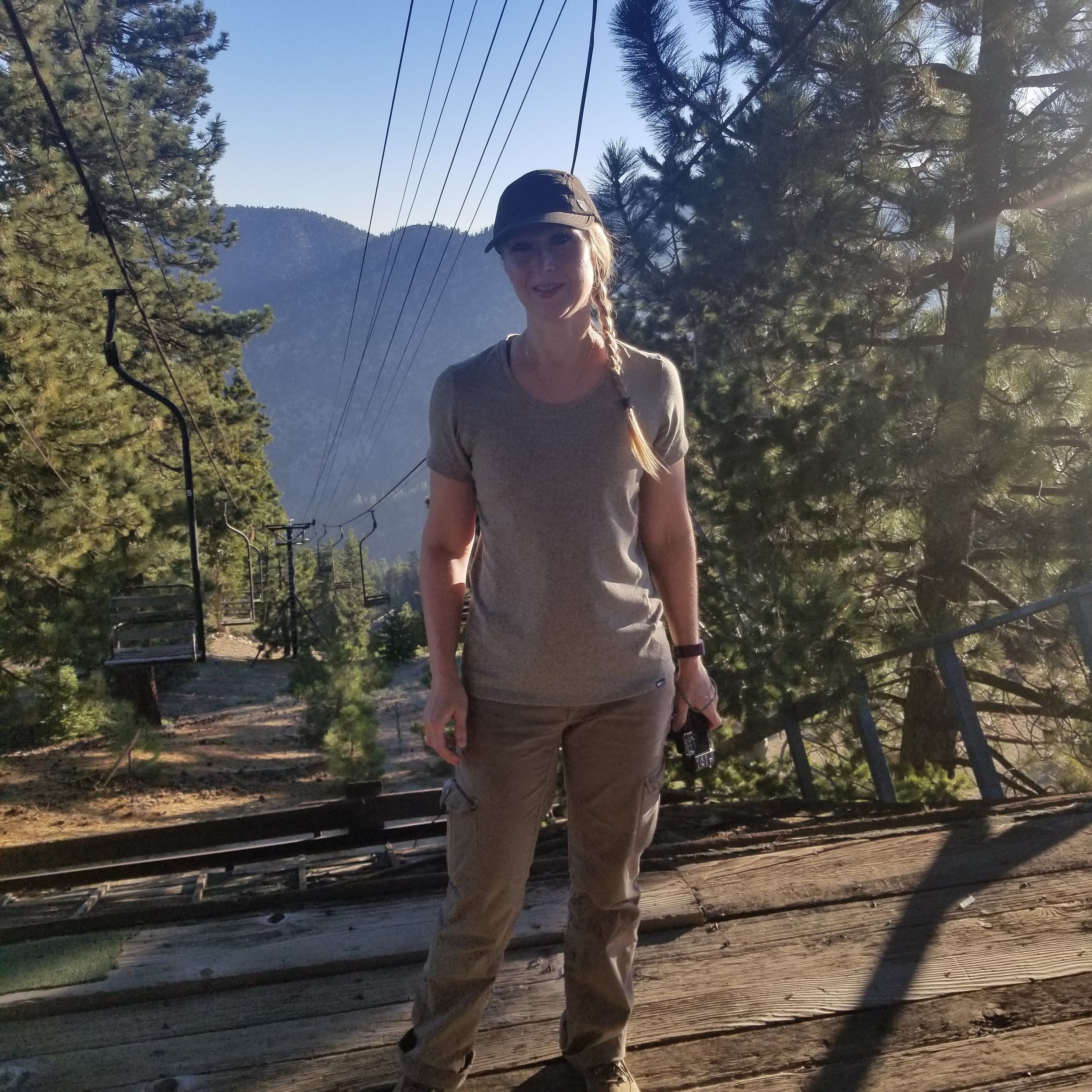
Here we started to see the single seat chair lift.

At this junction I took a photo looking back as reference.

More views.

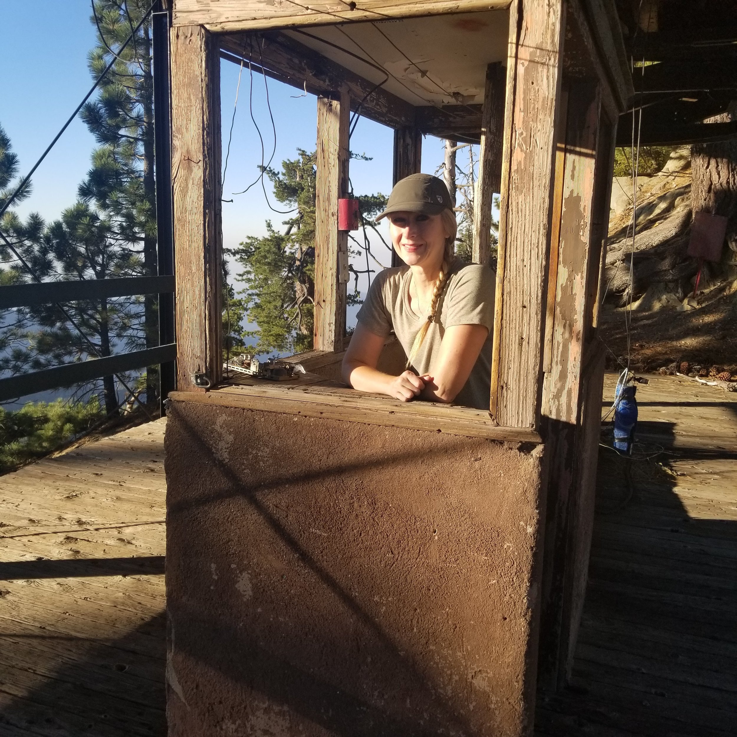
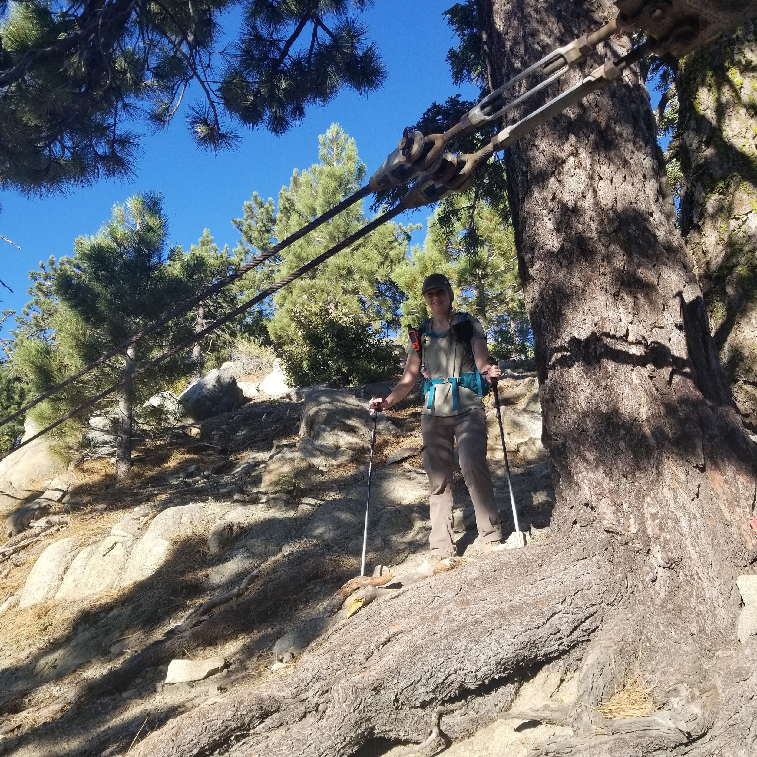
Now we began to see the old wooden structure from the ski lift off to the left.

The old wooden single seat chairs from the lift.


Heading up to explore the rickety old structure.

The big bull wheel now frozen in time.

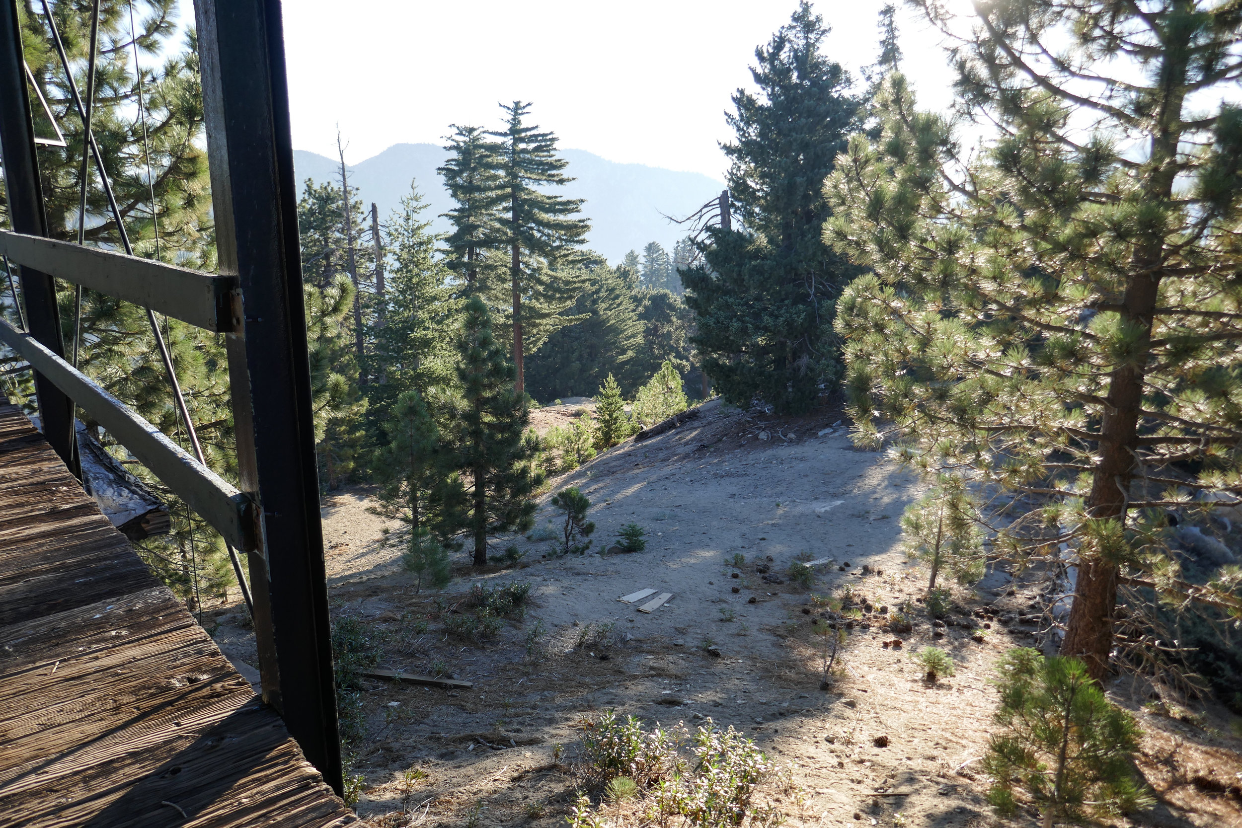
There's a flat picnic area next to the structure with one lone picnic table and a fire ring.

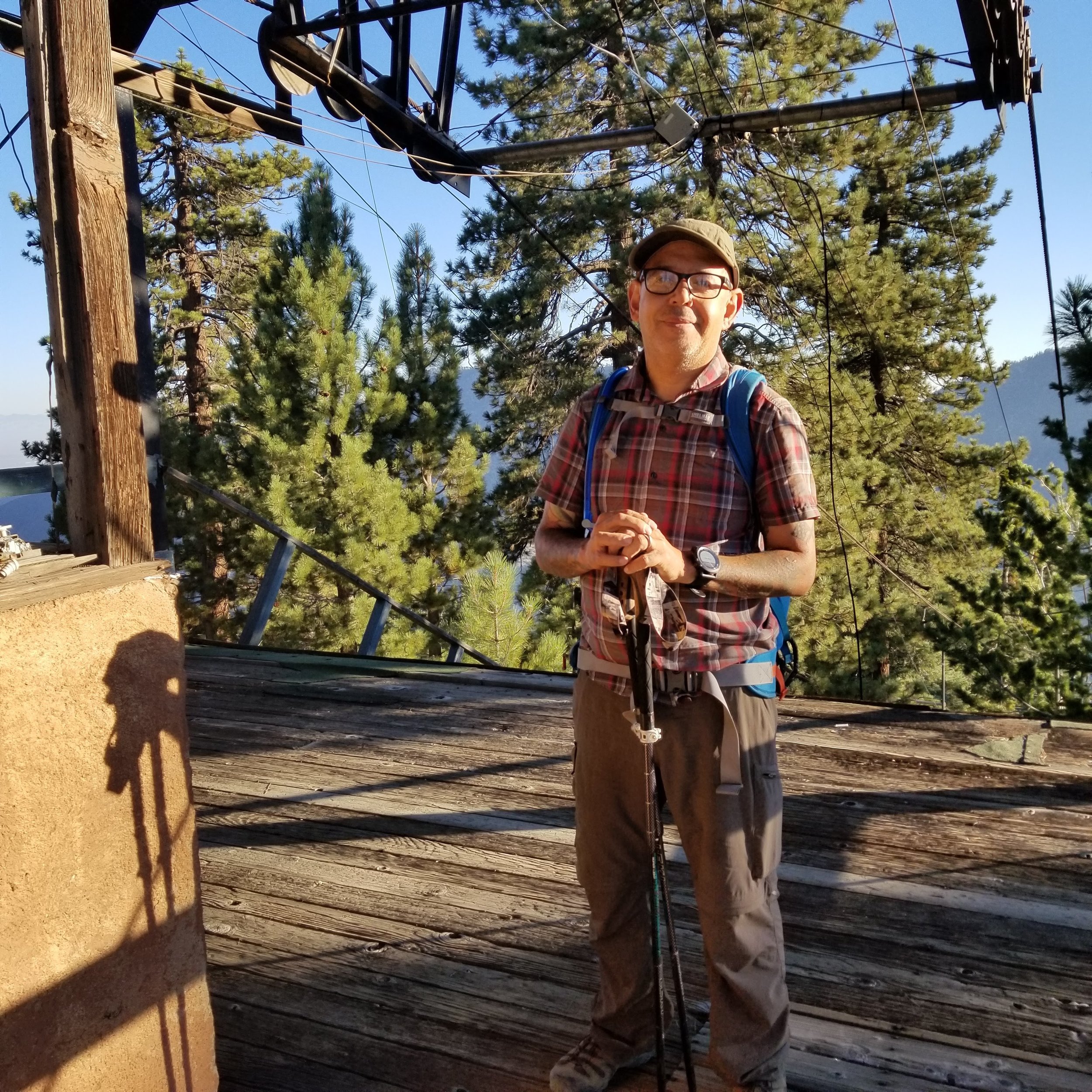
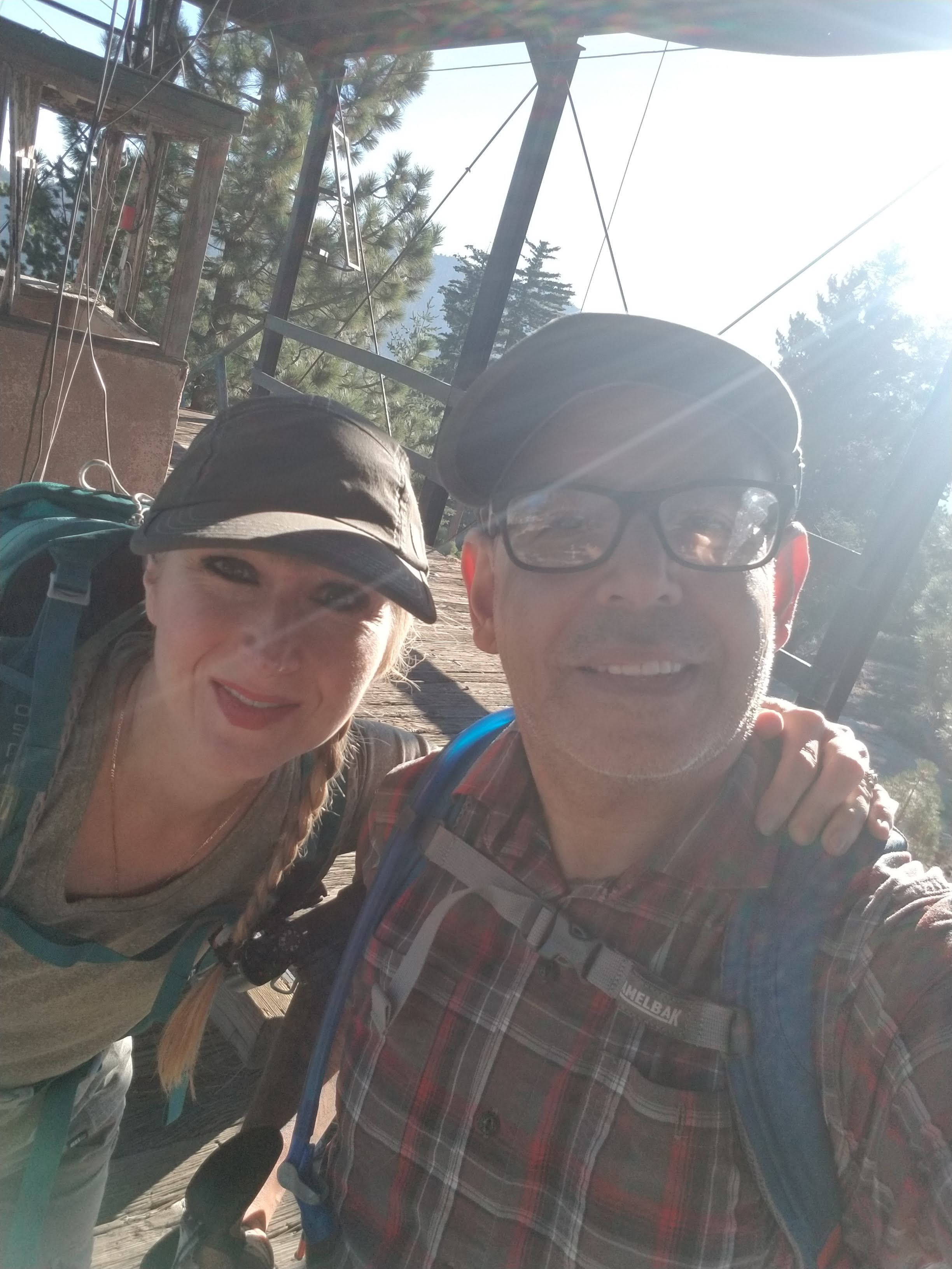
My husband and I sat in the old structure for quite some time enjoying each other's company and imagining what it must have been like here in the winter when the resort was operational. It was a peaceful morning. Not another soul in sight.


After we were done enjoying the solitude, we followed along this use trail that took us up to the highest point on the ridge. It's narrow and the dirt is loose but it's manageable.
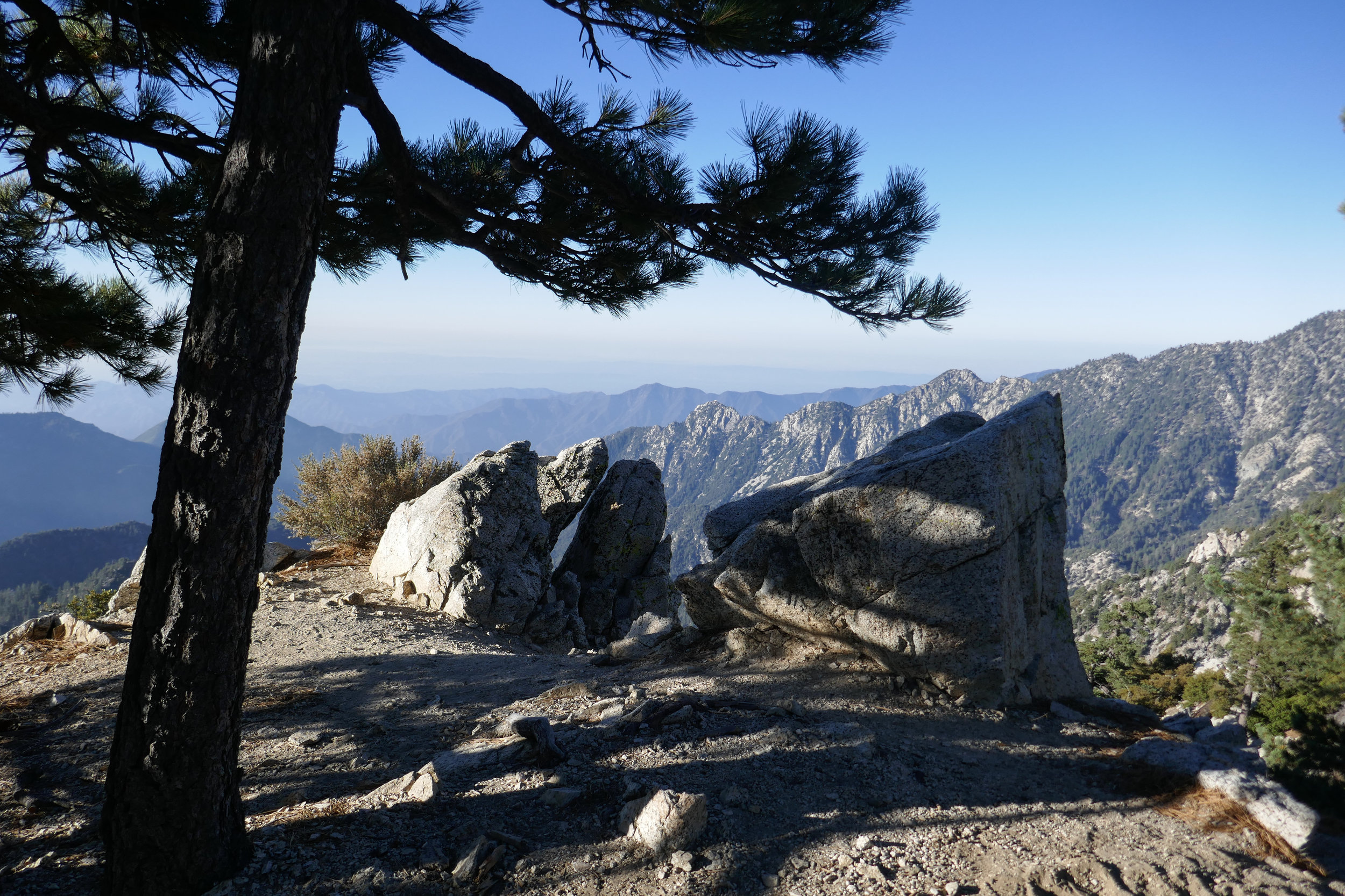
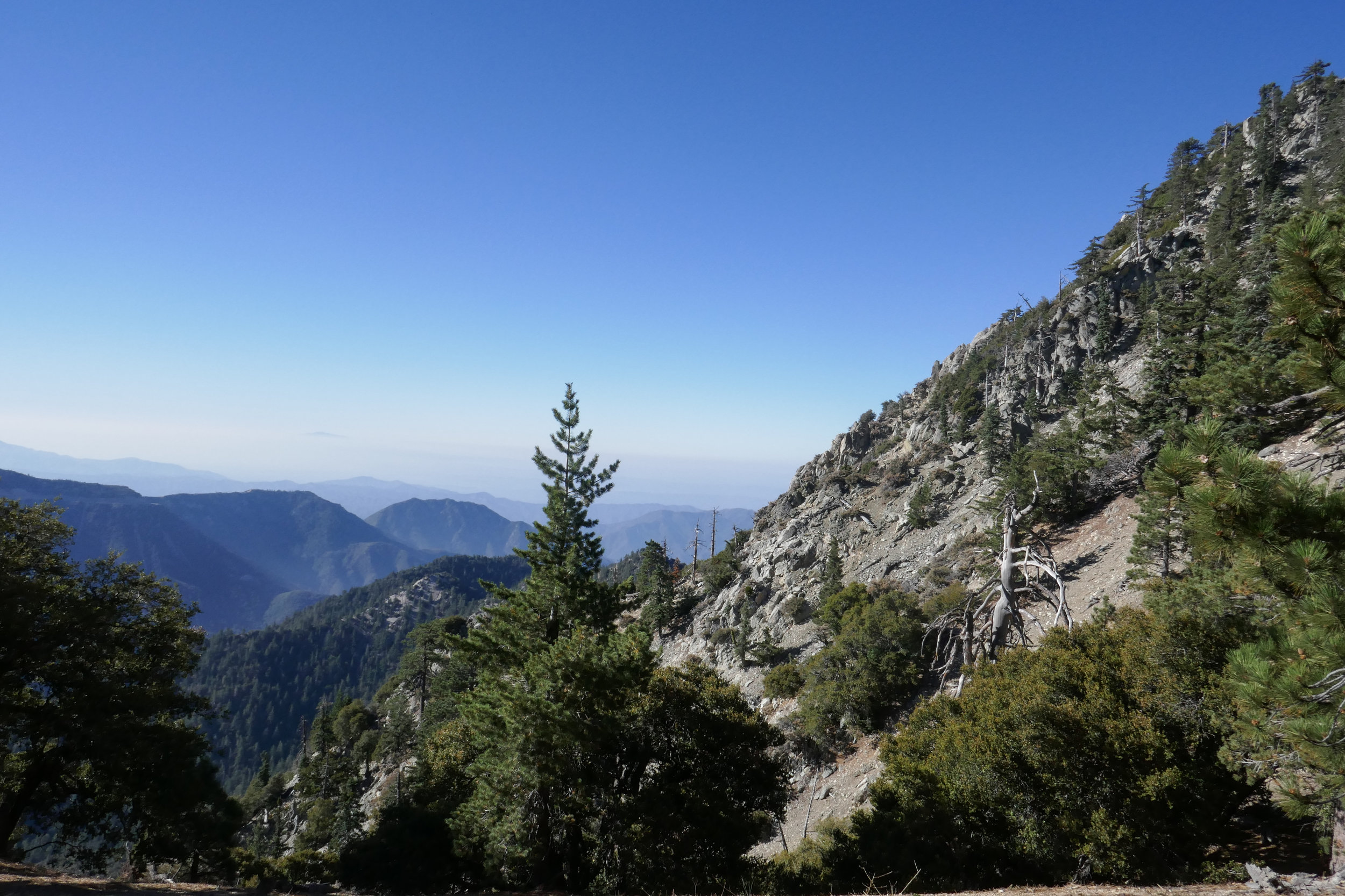
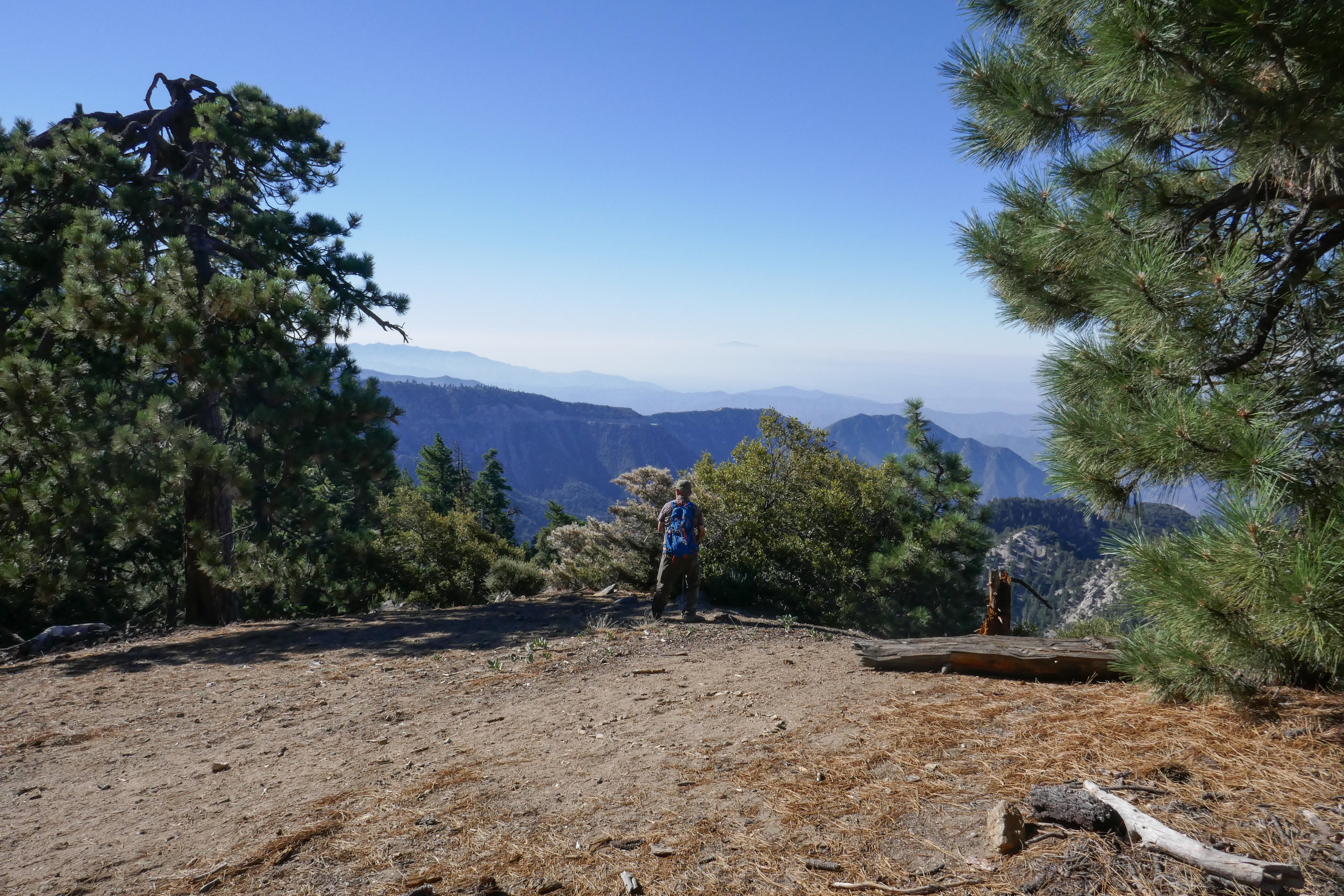
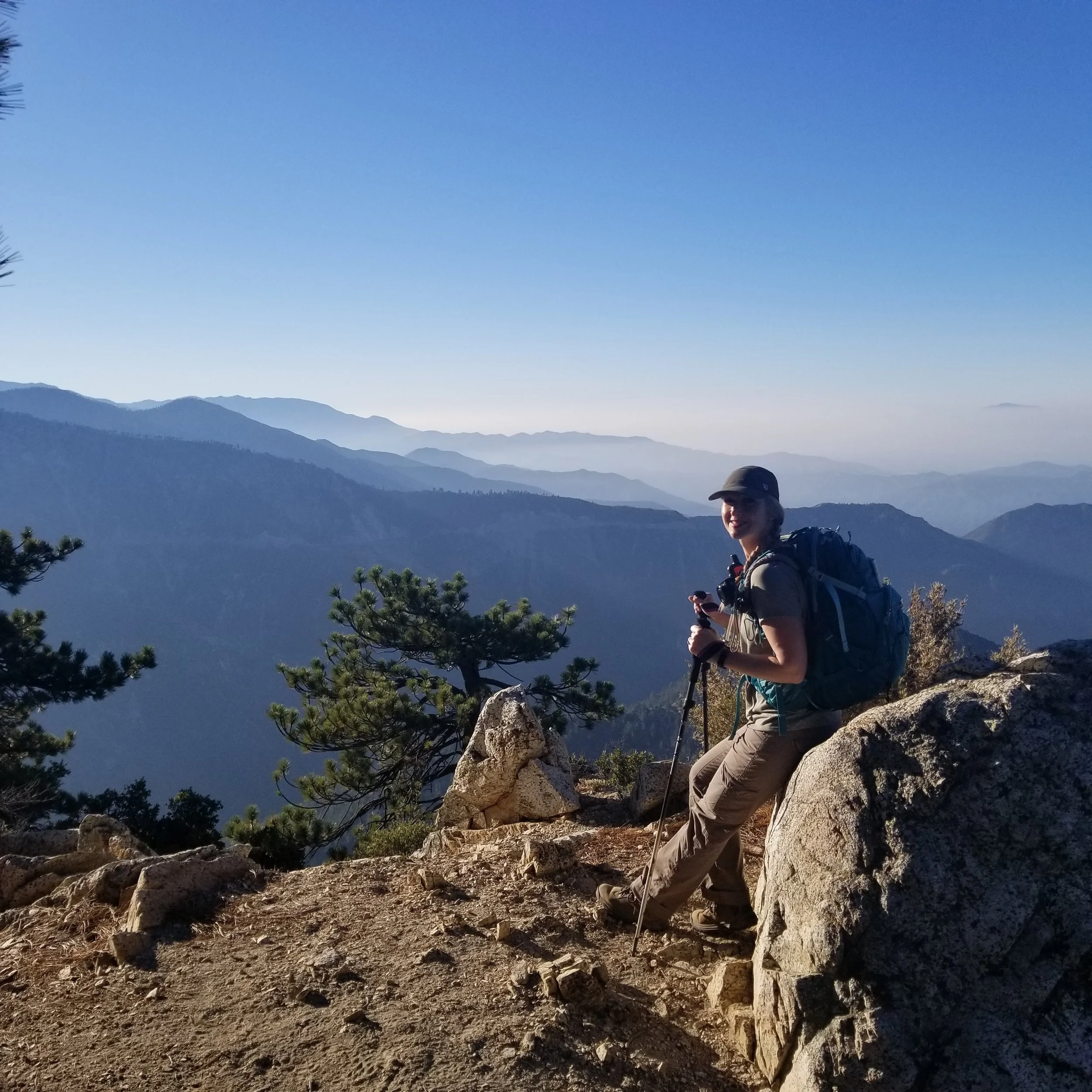
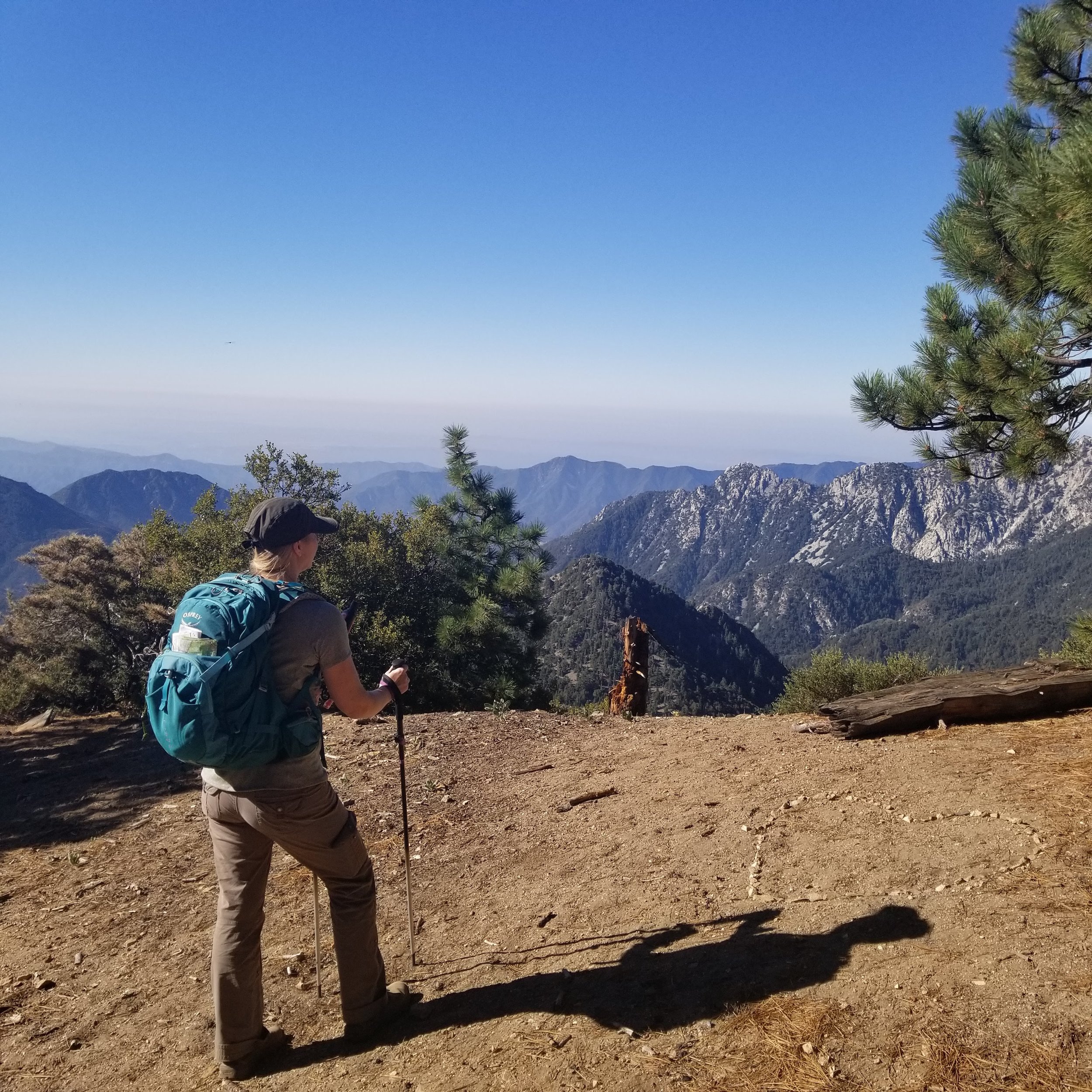
This is the high point on the ridge. The views down into Bear Creek Canyon and the San Gabriel Wilderness were sublime.

Wilderness boundary sign.

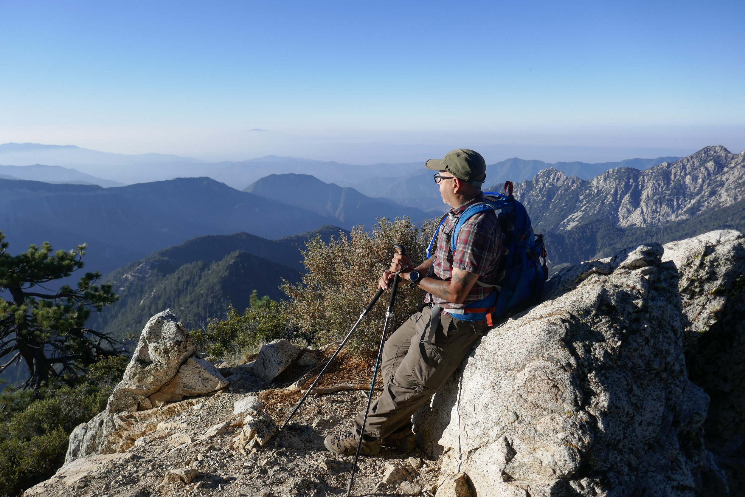


Waterman Mountain is the bump to the right.


From here we followed another faint trail along the ridge that would lead us back to the wooden structure.

Another sign marking the San Gabriel wilderness boundary.


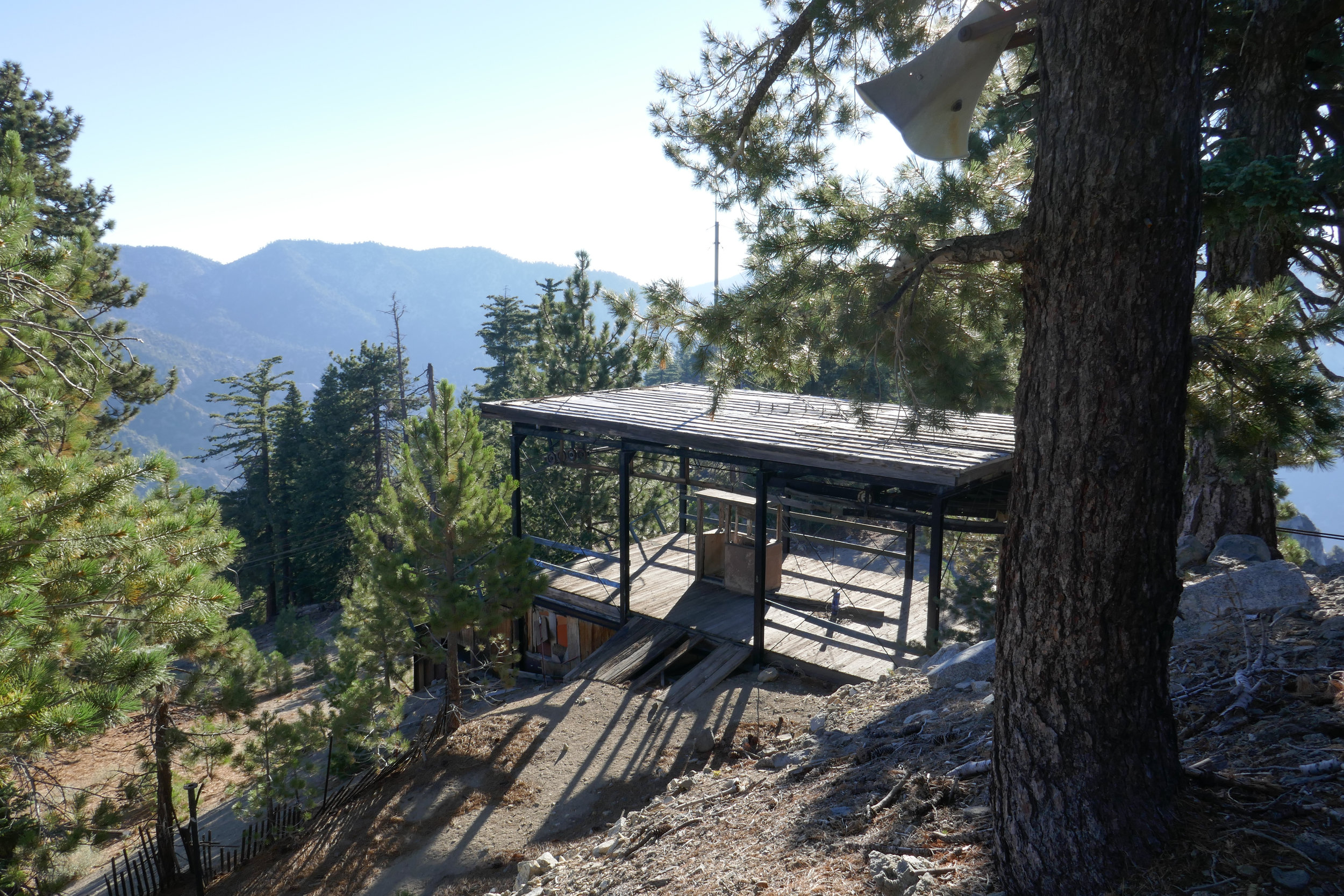
You can see a bullhorn up in the tree.


Another photo of the bull wheel.


Exploring the picnic area.

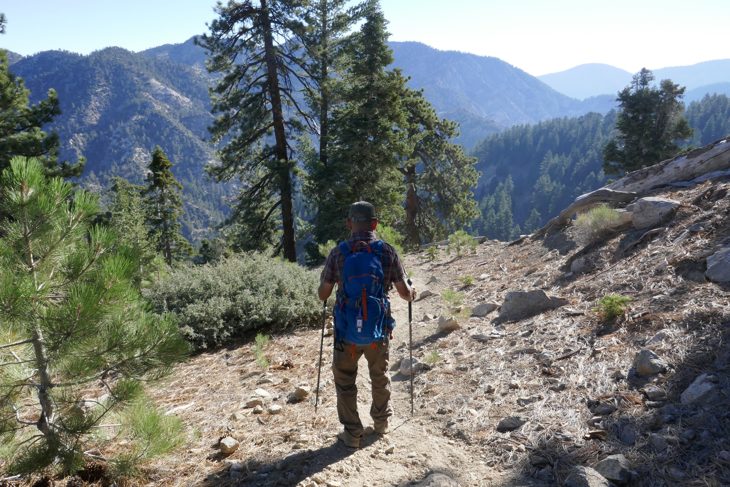
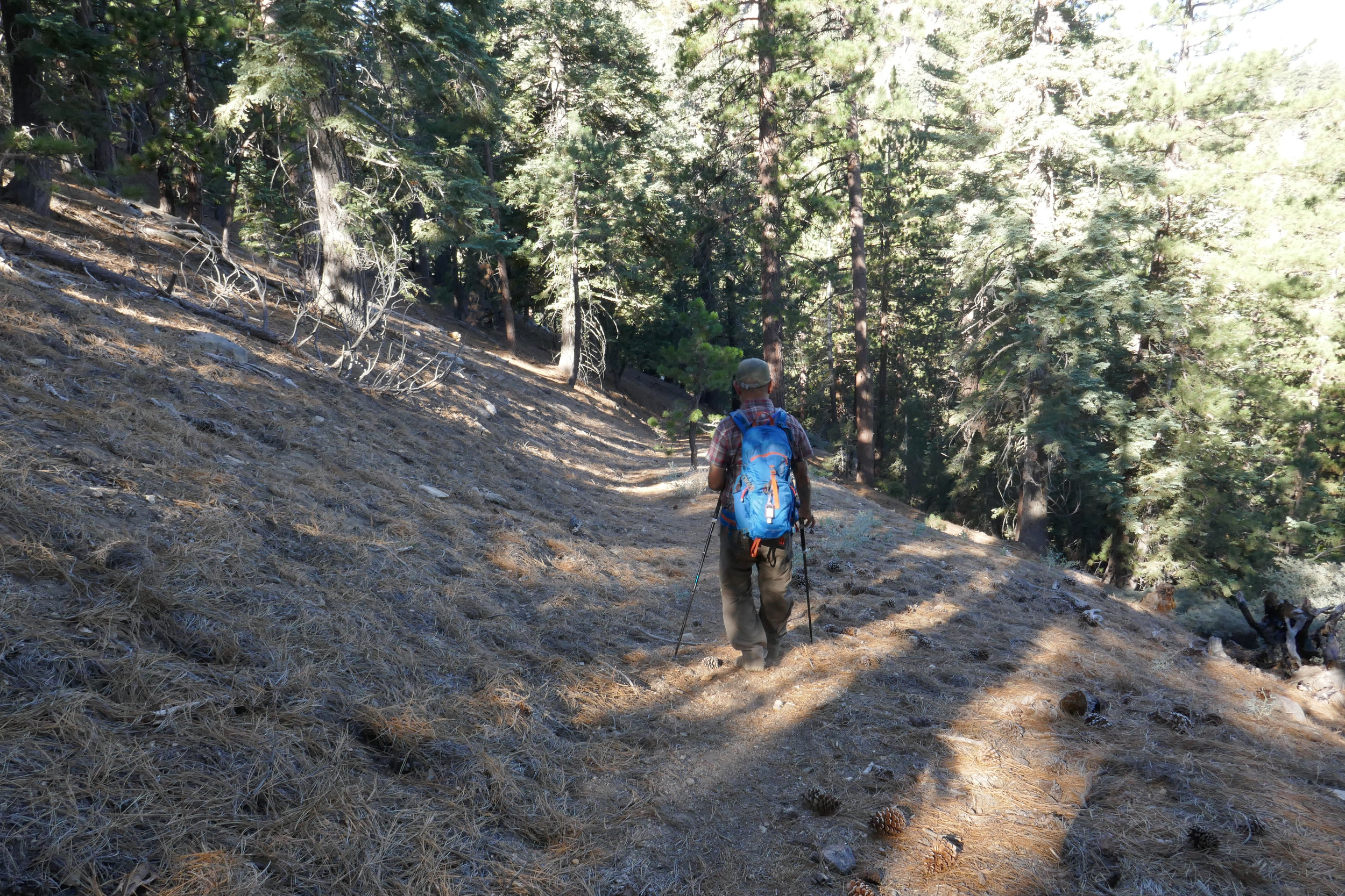
Beginning our descent.

This is the beginning of the very steep section with soft dirt and loose rock. I didn't take many photos as I descended because I had to focus on my footing.


Looking back up after we finished making our way down the steep section.

So many pine cones!


This hike did not disappoint on the incredible views along the route.

At the junction to head over to Peak 7160.

It's not much of a trail, but we kept heading upward towards the high point.

A heart made out of pine cones along the way.
Another steep climb.


I took a photo looking back for reference so we'd know which way to head on the way back.

Great views and another heart on top of Peak 7160.


Looking over at Kratka Ridge from Peak 7160.
Heading back down the mountain with an early morning finish and just in time for breakfast.


Here's a map of our route using Caltopo. I started using this not too long ago along with my regular paper maps to help plan our routes. It's pretty cool. Still learning how to use all the features.