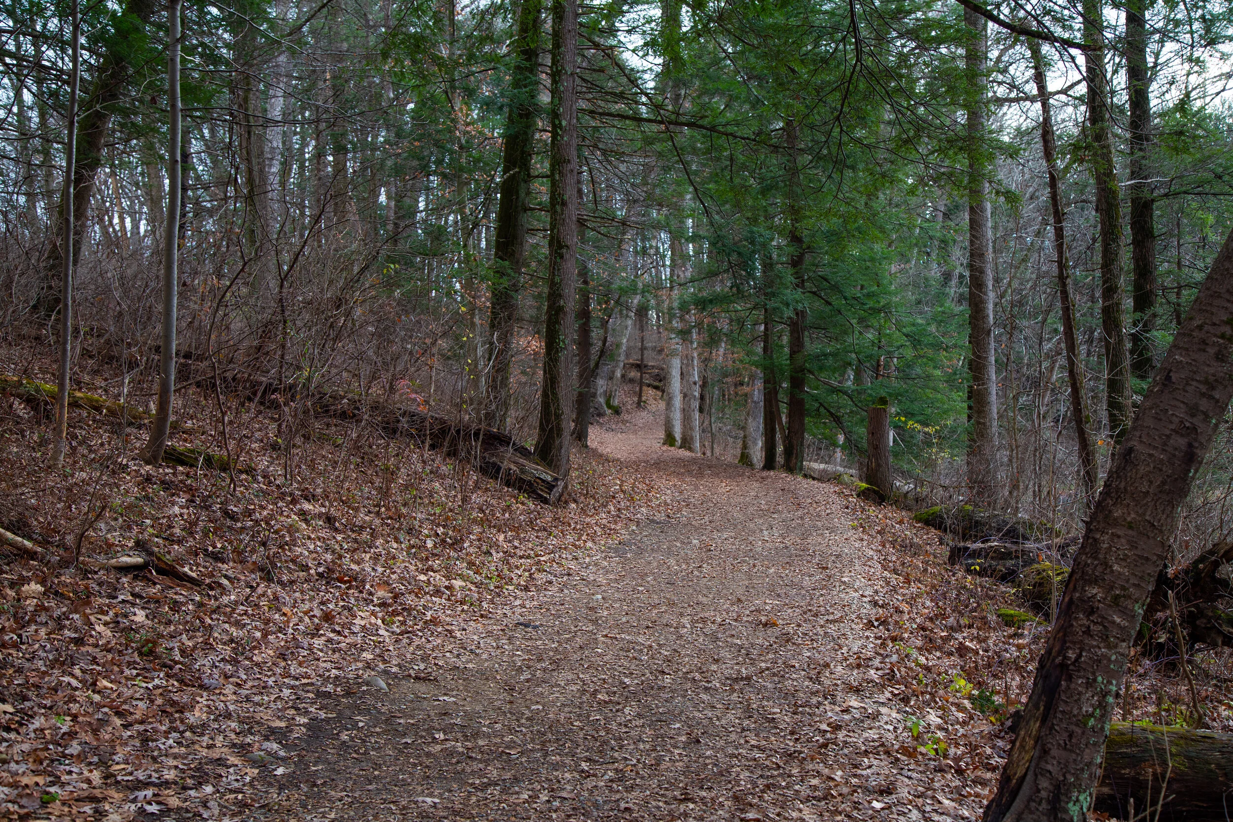
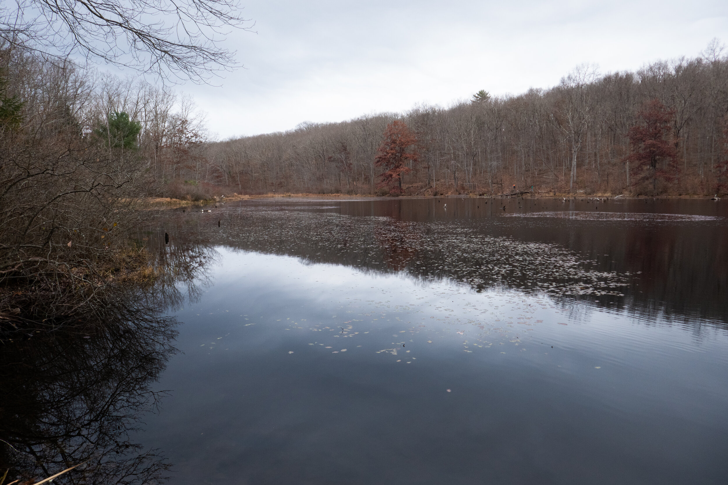
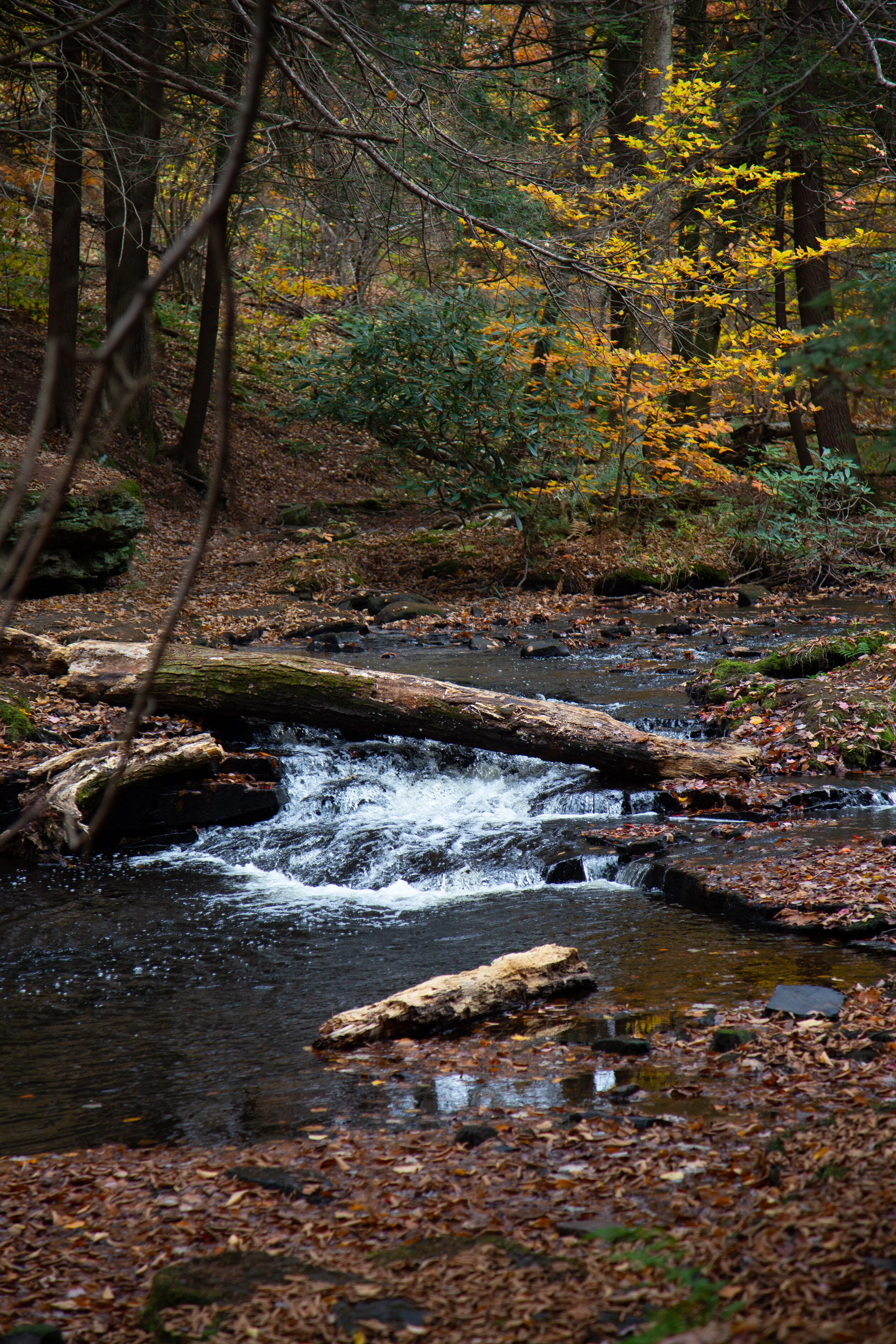
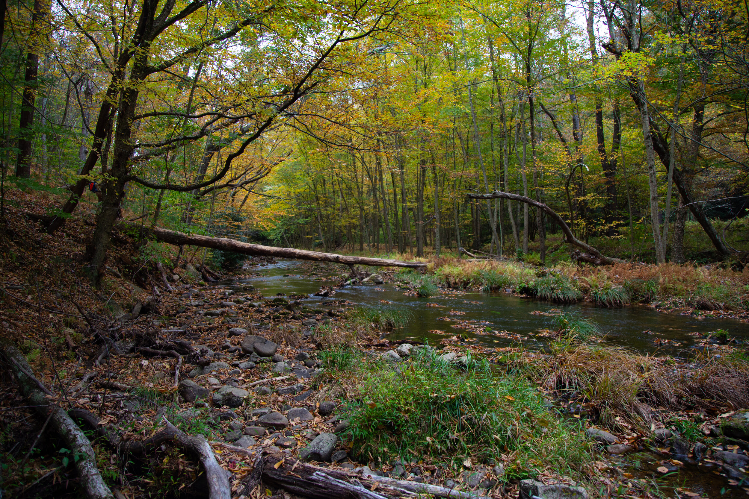
The D&L Trail is a 165-mile multi-use trail running from Wilkes-Barre to Bristol. The northern terminus is located in Mountain Top, Luzerne County with its highest point being 1,785’. The trail follows the same route that the anthracite coal once took from mine to market and winds along the Lehigh and Delaware Rivers. As you walk the towpath, there are interpretive signs that mark points of interest on the trail. Since the trail runs along the river, there’s lots of wildlife to be seen here. I walk this path some days in the early mornings and there’s plenty of species of birds including Bald Eagles which are making a comeback in the area. Bald Eagles are listed as protected and no longer considered endangered or threatened. Last week I happened to see one flying upstream along the canal. I didn’t see any Bald Eagles today, but I did catch a glimpse of a Red Fox making its way across the trail. I walked about 2 miles to Hope Road where there’s a washout apparently left over from Tropical Storm Isaias. It’s not impassable, but I made this my turnaround point since I was short on time this morning. The D&L National Heritage Corridor is full of history and is a great place to come for fresh air and exercise when you just need to get out for an easy walk on the trail.
Wednesday was the first snowfall of 2020 in Bethlehem, Pennsylvania, and I was not going to let the beauty of it pass by without getting some local photos. The Monocacy Nature Trail is a place I sometimes like to come to in the mornings to take in the fresh air and enjoy the wildlife before getting my day started. I was so excited to see it covered in a fresh of dusting snow. While I’m not really sure what to expect here in NEPA, winter in SoCal was my favorite time of year to drive up to the mountains and enjoy the weather. I’m looking forward to seeing what the months ahead will bring and hopefully getting in some snowshoeing.
Today we spent a few hours exploring Bear Creek Preserve in the Lehigh River Watershed. The preserve is part of a network of protected lands and the hiking trails here are pristinely beautiful. There are about nine miles of rolling trails leading to waterfalls, crystal clear cascades, rocky ledges and through hemlock, pine and rhododendron. It was about 30 degrees with a wind chill today, and we had some snow flurries. The ground had just the slightest dusting of snow. Winter is finally setting in. There are three streams running through the preserve: Shades Creek, Bear Creek and Stony Run. We hiked the yellow and green trails which took us to an overlook and then stream side along Shades Creek to the top of a flowing cascade. We didn’t have time to hike much more today, but I am looking forward to coming back here and exploring more of the preserve
Ended the four day weekend with a hike around the Trexler Nature Preserve. It was the last Sunday with hunting allowed in Pennsylvania, so we kept to the safer areas for outdoor recreation. I have to say there were some pretty decent hills to go up (and down). I have yet to see very many switchbacks here in Pennsylvania. When the trail goes up it’s pretty much just a straight shot. So while there really isn’t much in the way of altitude, these hills don’t mess around with their steepness.
I watched the sunrise the morning from the shores of Leaser Lake located near the Village of Jackson in Lynn Township, Pennsylvania. The 117 acre lake is named after Frederick Leaser who was an American patriot. Leaser transported the Liberty Bell from Philadelphia to Allentown in the year 1777 for protection during the Revolutionary War. There’s a four mile loop that goes around the entire lake with great views and variation in scenery from lake views to woods to meadows. I hiked the loop today and the lighting and scenery was beautiful. There’s plenty of wildlife to see here. It’s a great place to come if you’re a bird watcher and there’s an information board near the south parking area listing which birds to look for. I really enjoyed the morning here and will definitely be back again.
Today was Black Friday and as per usual I did not participate in any sort of shopping madness, but instead headed for the outdoors. Yesterday, Thanksgiving Day, began a four day weekend for me, and I was looking forward to taking advantage of the time off. This morning I started my day with a hike around Jacobsburg State Park. There weren’t many cars in the lot when I arrived which surprised me being it was the day after a holiday, but it was still very early. I grabbed the camera and headed into the old growth forest of Henry’s Woods and followed along Bushkill Creek. From here I looped around up through the meadow just outside the perimeter of the no hunting zone. It was the first day of rifle season, and I didn’t want to take any chances venturing off alone into the hunting areas. It was a beautiful, crisp morning and a perfect day to #optoutside. I’ve never really been big on shopping anyway, unless of course it’s REI.
Today I hiked around the Trexler Nature Preserve. Pennsylvania is doing a thing this year where they are allowing hunting on three Sundays, this past Sunday being one of those weekends. It’s very odd to me that the state lets people hunt and hike in the same areas, but many of the state parks here seem to be on state game lands. Regardless, I wanted to play it safe and not have my head mounted on someone’s wall, so I stuck to the nature preserve where most of the trail was on open lands and did not allow hunting. I started on the Border Trail which actually goes around the entire preserve and then crossed over Jorden Creek to make a loop back to the trail head. During the hike I crossed path with a deer and saw plenty of birds in the open fields. It was a short hike, just a little over 5 miles with a lot of ups and downs in the hills. I was happy to get out for a bit and enjoy the outdoors.
It was a beautiful, cloudy day for a hike around Nescopeck State Park. I started the hike at the Creekside trailhead off Honey Hole Road. Less then a mile into the hike I had to detour on the Fern Trail because there was a washout across the creek. From there I took the junction to the Nescopeck trail over to Lake Frances. As I approached the lake I could feel the cool mountain breeze across the lake. It was still early and the place was deserted. My husband and I sat at one of the picnic tables by the lake and had a snack before moving on. We took the Woodland Way trail over to a pond that had an area for turtle viewing. Much too cold for turtles today, but the pond was beautiful in its stillness. As we started the trek back, the dark clouds started to roll in. They were calling for rain around 12 noon and we got back to the trailhead in plenty of time before it started to sprinkle. It was a lovely day in the Pennsylvania woods.
Big Pocono State park sits atop the summit of Camelback Mountain at about 2,100’. You can drive your car up to the top and enjoy a day of picnicking with views below of Eastern Pennsylvania, New Jersey and New York. There are hiking trails that start at the summit and traverse down the mountain and then back up. Today we hiked the North Trail to its lower loop and then circled back up the south face on the South Trail. The trail was surprisingly steep with about a 600’ change in elevation in under a mile. I haven’t needed to use my hiking poles since I left California, but I could have used them today. At the bottom, the trail flattens out and is paved with gravel. It passes through an old railroad grade and through a rock cut in the mountain. I saw a lot of rhododendron along the way so I’m sure this is a beautiful place to be in the spring when the flowers are blooming. The loop is just a short 4.6 miles, but there was enough of a challenge to get the heart pumping.
Today I had a quiet morning walk around Mariton Wildlife Sanctuary. It looks much different now with the trees changing colors and losing their leaves. The meadow that was so vibrant with wildflowers and active with wildlife was still except for a lone late season butterfly. The morning was crisp and it felt good to get out and walk up and down the steep hills to warm up. At the end of the hike I stopped at the bird blind to watch some birds on the feeders. This is always a quiet place to come and it’s nearby so I don’t have to drive too far. I suspect once all the leaves fall there will be some views down to the Delaware River. I’ll have to come back in December (if not before) and see.
I recently discovered the Graver Arboretum, a hidden gem located in Bushkill Township, Pennsylvania while my husband and I were out for a drive. He noticed a sign, and we decided to stop. The arboretum is used as an outdoor classroom by the biology and other science departments of Muhlenberg College. There are a few trails here and it’s a quiet place to walk and relax. This was our second visit to the arboretum. The first time I didn’t have my camera with me. This time I brought it along. It was a cloudy, overcast day. There were a number of Canada Geese on the pond and the leaves were falling as we walked along the quiet path. It’s a nice place to come to visit when I just want to relax in nature without a long day of hiking.
This morning I went to Promised Land State Park. It looks so different then when I was here at the end of September before the leaves started changing. I still can’t get over the amazing colors. I started the morning with a walk around Conservation Island. It was very peaceful early in the morning and I sat down at one of the benches that are conveniently placed along the path to enjoy the views of Promised Land Lake. As I gazed across the water at the lakeside cabins, it gave me the feeling of being in an old town in New England. The walk around the island was short, but packed with spectacular color. When I returned to the trailhead, I got back in the car and made my way to Lower Lake Road. I pulled into the turnout for the Village Trail, but there were two hunters getting out of their truck with their rifles which is not something I’m used to or comfortable with. I decided to go to a different trailhead instead. I continued a little further up the road and parked at the turnout for the Loggers Trail. After consulting the park map I decided to hike over to Little Falls which on the East Branch of Wallenpaupack Creek. I really enjoyed this section of the hike. It was gorgeous hiking along the creek. Eventually I left the beauty of the creek and made my way west on the Spike Trail. I followed the Spike Trail to the Saw Mill Trail which ran alongside a deer enclosure. Deer enclosures are used to prevent deer “browsing” which is basically eating and killing vegetation. The weather was warm today, but there was a light mountain breeze. Even even though there are no dramatic mountain summits with views here like there are in California, I got the sense that we were at a high point on top of the mountain with a little bit of elevation. After looking at the topography, we were at about 1,700 feet. It was a quiet day to hike around the Pocono Mountains. I imagine it will be a busy weekend with everyone coming up to see the fall foliage.
The colors are really starting to show in Pennsylvania. Today I went to Jacobsburg State Park and walked from Henrys Woods over to the the National Historic District Site to check out the Henry Homestead/PA Longrifle Museum. I also took some time today to check out the birding area across Belfast Road near Henrys Forge. I didn’t have my birding camera with me, but I was able to get some decent photos of a tufted titmouse, black capped chickadee and a nuthatch. The day was cloudy and a little on the warm side for October. Now is the best time to enjoy the fall color before the leaves fall. It’s a beautiful time of year here on the east coast.
It was a perfect day to explore more of Hickory Run State Park. This is a beautiful park with so much history. We started the day off by hiking past the Manor House, the former dwelling of Samuel Gould. In the 1800s, the Goulds were the primary landholders of the region and owned many sawmills here. We past the Manor House and headed onto the Fourth Run Trail. This is the longest trail in the park, but today we diverted onto the Stage Trail which was once a stagecoach road that went from Bethlehem to Wilkes-Barre. The Stage trail took us to to the Saylorsville Dam where we followed the winding paved road across the ford and then back to the parking area. It was a lovely walk and I enjoyed meandering along enjoying the fall foliage. Once back at the trailhead I wanted to check out the old Hickory Run Cemetery. This small cemetery in the woods sits on top of a hill and most people aren't even aware that it's here. The cemetery is a place of rest for the unfortunate folks who lost their lives in a flood that devastated the community of Hickory Run on October 30, 1849. The story goes that the woods are haunted by Elizabeth Gould who lost her life on that tragic night when a dam gave way. "Lizzie" was just 11 years old. She was the daughter of Isaac and Susan Gould who were early settlers of the area. The family lived in a small cabin built along side the stream. When the dam broke the cabin was lifted up off its foundation, carried downstream and submerged in the rushing waters. When the water passed Susan was able to break a hole in the roof to get all of her children out except for one... Lizzie. When rescuers arrived, Susan claimed she heard Lizzie calling out, but no one else could hear the cries. Lizzie was later found deceased beneath a pile of rubble near the house. In the weeks ahead, Lizzie's brother Winefield would also pass away due to exposure from the night of the flood. Winefiled is also buried here next to Lizzie. The Legend goes that Lizzie is not at rest and park visitors have reported seeing her ghost roaming through the park or playing along Hickory Run. Others claim to still hear her cries. I paid my respects and headed back to the trailhead. It was such a lovely day and I wasn’t ready to leave just yet. I did one last trail which was a short loop on the Sand Springs Trail and returned back via the Hickory Run Trail. It was another great day to be outside enjoying nature and the fresh mountain air.
Hickory Run is a beautiful State Park. I remember coming here years ago with my parents and walking the peaceful trails. Back then there were no crowds. Nowadays the park has become quite popular, especially on weekends. There are so many trails in this park, but it appears the two most popular hikes are Hawk Falls and the Shades of Death Trail. I hiked both of those earlier in the year and they were both lovely trails. But now that I’m starting to learn the lay of the land here on the east coast, I have discovered so many other beautiful trails and not just the ones that seem to get so much attention on social media.
It was a cloudy, overcast day and the drive up to the Pocono Mountains on the I-80 was abundant with fall foliage. I planned to start my hike on the Fireline Trail which was noted in the park brochure as having a picturesque overlook of the Lehigh River and Lehigh Gorge State Park. About .5 miles into the hike I arrived at the overlook. The view down to the river did not disappoint and neither did the endless colorful foliage. I then continued my way along the Firelinetrail until I reached the junction for the Skyline Trail. Skyline took me on a narrow path working its way across the side of the mountain with continuous views of the Lehigh River to the west. It was a beautiful trail and I had very nice views of the surrounding mountains, again full of that gorgeous fall color. From here I intersected with the Hickory Run Trail, which as it’s name promised, took me along Hickory Run. I walked along the run enjoying the peaceful sound of the small stream until intersecting with the Switchback Trail. The Switchback Trail climbed back up the mountain to Skyline and then Fireline before arriving back at the trailhead. Before leaving the park, I took a short trip over to see a small chapel that was built in the 1800s. It sits tucked away in the woods just off the side of the road. I got out to explore for a bit and came upon the abandoned Manor House structure. Both buildings are structures left of the town that was once known as Hickory Run. There is quite a bit of history here and you can read up on it on the Pennsylvania Department of Conservation & Natural Resources website. I hope to get back to this area again to do more exploring, especially now with our beautiful weather and amazing autumn colors.
Today I got up much later then I’d wanted to. It just feels so comfortable here on the east coast as the seasons are starting to change. Nevertheless, I knew if I didn’t get up and out I’d regret wasting the day. I decided to go back to French Creek State Park and explore more of the trails. This time I parked at the Hopewell Furnace National Historic Site so I could walk through the old iron plantation and take in a bit of history before heading off on the Horseshoe Trail. The Horseshoe Trail is a 130 mile trail that runs from Valley Forge to the Appalachian Trail in Harrisburg, PA. Part of this trail passes through French Creek State Park with stops along Hopewell Lake and Scotts Run Lake. I followed the trail west until I reached a junction for the Boone Trail which would take me to the Ridge Trail and the Hopewell Fire Tower on top of William’s Hill. Not far from the junction I came upon some empty cabins. The cabins were not locked, so I went inside to take a look. Each cabin had some old metal bed frames, but nothing else. It was fun exploring around and even a little eerie. To add to my woodsy macabre adventure, I could heard gunshots off in the distance. However I knew those shots were coming from a nearby firing range and there was no need for alarm. After checking out the cabins, I continued on to the fire tower. I hiked up the Ridge Trail to the top of William’s Hill. There was a parking area here, but to my disappointment, I was unable to see the tower because it was blocked by all the trees. I found what looked like a use trail and followed it for a short while, but it was severely overgrown. I’ll have to come back in the winter when the trees drop their leaves and hopefully, I’ll be able to get a better view. The fire tower was built in 1935 by the Civilian Conservation Corps/French Creek Recreation project. Oh well. Better luck next time. I headed back down the Boone Trail which seemed a little more rocky then the way I’d come up and looped back to the Horseshoe Trail passing by Scotts Run Lake then back to Hopewell Furnace. It was lovely, overcast day and an enjoyable hike coupled with some sight-seeing.
This morning I headed up to the Pocono Mountains to Promised Land State Park in the Delaware State Forest. Promised Land is a huge area with about 50 miles of trails in a very well organized trail system. As per usual, I wanted to hike on a less populated trail, so I looked for the most remote looking area I could see on the map. I found a trail I could access off the 390 from a turnout on North Shore Road where I could link up to the Bruce Lake Trail outside of Promised Land and it would take me to Bruce Lake. According to the park map, the route was mostly a hiking only trail (no bikes) which was a plus, and it was away from the beaches and campgrounds near Promised Land Lake which meant it should be pretty isolated. From the parking turn out I got on the Rock Oak Trail heading east. The path started out wide and grassy through the shaded forest. The ground was a bit rocky as per usual Pennsylvania terrain, but I could still enjoy the scenery and not have to keep looking down to watch my footing. At the first junction I continued eastward as the trail turned into the Telephone Trail. From here it got interesting. I was rock hopping boulders for the majority of this section and bushwhacking through huge towers of rhododendrons. I felt like I was in a jungle, but I definitely was not bored. It was actually fun. As much as I complained about the rocks being a pain in my butt, I did enjoy the test in agility. As I neared the end of the Telephone Trail, I found the junction for the Bruce Lake Trail. This would take me northbound to the natural glacial lake where I could sit and enjoy the scenery before looping around the lake to make my way back. The Bruce Lake Trail started out pretty well maintained, but eventually I was back to bushwhacking my way through. Thankfully, the rocks weren’t that bad. Eventually, I reached another junction to make the loop around the lake. I headed east in a counterclockwise direction. Now the trail was wider and way less overgrown. I could see the lake to my left as I hiked along this beautiful section of trail. As I approached the north side of the lake, the trail came to an opening at the shore. It was absolutely beautiful. All that rock hopping and navigating through brush made it worth it for these views without a soul in sight. I took a nice long break here, had a sandwich and enjoyed the quite. When it was time to return, I made use of the West Bruce Lake Trail heading southbound. This trail was REALLY overgrown and on top of that it was right at the shore of the wetlands so it was super muddy. Luckily, it was still easy to make out the trial and the blue blaze markers/guides were always easy to find. I finished off the day by continuing the loop on the Rock Oak Ridge trail and then eventually the Rock Oak Trial back to the trailhead. It was a fun day. The peace and quiet and views of the lake were definitely worth the effort. I would love to come back again and see more of this area, especially in the next month because the leaves will be changing colors and it will be spectacular.
This weekend I went back to Stoney Valley to find the old coal mining cemetery. I parked just off Gold Mine Road and began the 3.5 mile walk to the junction with the AT on the Stoney Valley Rail Trail. This time I detoured off the main trail and made my way down to the Evening Branch Beaver Swamp to get a better look at it. I saw some frogs, but no luck seeing any beavers. I walked back up to the rail bed and veered off again when I reached Sand Spring. Sand Spring is true to its name with its sandy waters flowing out of the mountainside. It was a lovely day and temps were in the low 60s, perfect for hiking. When I arrived in Rauch Gap, I headed south on the AT in search of the cemetery. It wasn’t too hard to find. There’s a junction off the AT with a sign. Last time I was here I just didn’t hike in far enough to see it. There are only three readable headstones left in the cemetery; however, there are 100s buried here. These old coal mining towns have such a fascinating history. I can only imagine what it must have looked like in the 1800s. Along the way back up to the AT, I veered off trail again to check out more ruins of the town. I found lots of old stone building foundations hidden away in the woods. Once back on the AT I decided to check out the water crossing at the Beaver Dam. There’s a diversion to get around it about 1.6 miles east on the Stoney Valley Rail Trail for thru hikers. On the way to the crossing, I saw another hiker who said she tried to cross the dam but was unsuccessful. It was obvious, because she was wringing out her clothes! When I reached the beaver dam, I could see what an ordeal it would be to try and cross. Lots of deep mud and not exactly a short crossing either. There were trees growing up out of its waters and all kinds of wildlife including a couple of otters. Beaver swamps are a very strange sight to see coming from California where everything is so dry. This isn’t something I’d see too often (if ever) along the west coast trails, but on the east cost wetlands seem to be quite common. The light here was amazing as it changed and reflected off the murky waters. I spent a good amount of time here walking around exploring my surroundings before heading back up to the AT where I found a couple of campsites. I stopped near the creek to have a snack and enjoy the peacefulness of the wilderness. It was a quiet day and it was a while before I saw any other people pass by. After the break, I went back up to the rail trail and up to the Summit Siding rail bed which I had visited last time I was here. I followed it further out this time until I got tired of hopping over boulders and trees. It was very overgrown. Since I was here, I went back down to see the bridge piers at Rauch Gap again before getting back on the main rail trail. There was one more trail I’d seen last time that I wanted to check out before heading back. I found the red blazed trees off the rail trail and got on the path. I followed it north until finding a sign on the ground that said “to upper rail trail”. I am guessing this would have taken me up to the original rail bed. This trail was even more over grown, so I decided to turn around and head back. It was a really great day. There is still much to see in this area, so I’m sure I’ll be back again.
I didn’t plan on a 10 mile hike today, but over the course of the day, that was my mileage total. It felt good to finally have a nice, long day out on the trail. I started my day at Swatara State Park parking at the Trout Run Trailhead and making my way over to the AT at Green Point. I began heading southbound in the direction of the Waterville Bridge. Along the way I passed a few geared up backpackers which really made me miss backpacking in California. I haven’t done any backpacking, camping or even any long day hikes since February when I was still on the west coast. I don’t know enough about Pennsylvania yet to find the more challenging trails, but I’m working on it. Today was all about exploring. I hiked the AT for a few miles. This section is very close to the 72 and there was quite a bit of traffic noise, but it was still very beautiful. But what I really wanted to see today was Rauch Gap, an old mining town from the 1800s. When I got back to the trailhead, I got back in the car and drove over to the parking area just off Gold Mine Road for the Stoney Valley Rail Trail in SGL 211 (St. Anthony’s Wilderness). Rauch Gap is about 3.5 miles in on the trail, and I knew there would be ruins to explore and also an old cemetery. It’s fun being back in Pennsylvania because when I was a kid, I used to love exploring all the old cemeteries. There are a lot of them here. The Stoney Valley Rail Trail is beautiful. It’s about 20 miles long and runs through three counties. Eastern Hemlocks tower above and shade the duration of this section of the hike. There were a lot of rocks and boulders on either side of the trail so I wonder if that’s how “Stoney Valley” got its name. On the north side of the trail at about .5 in is the Evening Branch Beaver Swamp. There’s a deer path that goes around the swamp, but I decided to save that adventure for another day and continue on my quest to Rauch Gap. When we got to the bridge, I went off trail to begin my quest for ruins. I love visiting places that have so much history, even if only their ruins exist. On the north side I found a use trail which took me up to what looked like it had been an old rail bed. When I got back home I did some research and found out that this was the original rail bed for Summit Siding. At the creek I found two large stone structures which apparently were the bridge piers. I travelled up the creek a bit further to find some small waterfalls and then decided to head back down to the opposite side and see what I could find there. The AT has a junction here and so I got on it and followed it for a ways. I found more ruins here and some deep holes with foundation dug into the ground that must have been some sort of buildings. I never did find the cemetery, but when I got home and did more research I found out it was still there, but I hadn’t gone far enough. So of course now I need to come back to complete my mission. And perhaps I’ll find more ruins along the way. There’s a lot to explore here. Especially if you’re into some cool history.
Today’s adventure took me to Nescopeck State Park. This park sits between two mountains; Mt. Yeager to the south and Nescopeck Mountain to the North. Most of the trailheads are accessed via Honey Hole Road. This is a beautiful area, and I’m still in awe when I’m driving down these Pennsylvania backcountry roads. To start the day I took a walk around Lake Frances. There’s a nice wide loop trail that goes around the whole lake. It’s not a very big lake, just .6 miles around. I didn’t see many people here except for some fishermen. After checking out the lake, I got back on Honey Hole Road and drove to the Wood Frog Loop Trail. There are 200 acres of wetlands in this park, and this trail is an easy 1.1 mile loop around a swamp on a wide grassy path. It’s very serene and relaxing here. After meandering around the loop and taking in the scenery, I drove to the parking turnout for the Mountain Loop Trail. This trail boarders SGL 187 and just off the parking area there’s a beautiful creek that heads into the Game Lands. The Mountain Loop is about 3 miles. There are lots of rocks and uneven terrain very typical of Pennsylvania. I took the loop clockwise making my way steadily up Nescopeck Mountain. This trail must not see much use because it was very overgrown. It also had a lot of spiderwebs. In fact, I almost walked right through the spiderweb of the biggest spider I have ever seen (besides a tarantula). From what I could guess after I got home and looked up Pennsylvania spiders, it was a Marbled Orb Weaver. I watched her spin her web before ducking underneath to pass by. At the top of the loop, the trail turns east. There were a few boulders here which would be a nice place to sit and take a break after the walk up the mountain. As I continued eastward the trail opened up to a sunny, grassy path before descending back into the woods. I didn’t see another human being on this trail (always a plus), but I did scare up a large grouse that took off when she saw me. I also found a praying mantis which eyed me curiously as I took her photo. It was a beautiful day. There’s more to explore here and I am looking forward to coming back.