San Gabriel Peak, 3 miles RT, 1,030' +/-, Max Elevation 6,161', October 13, 2019

San Gabriel Peak, 3 miles RT, 1,030' +/-, Max Elevation 6,161', October 13, 2019

This weekend we did a late afternoon/early evening hike up to San Gabriel Peak. It was a full moon and I wanted to watch the sunset from the forest and see the moon come up over the San Gabriels. We started the hike from Eaton Saddle and through the Mueller Tunnel. When we reached Markham Saddle, we took the trail towards San Gabriel Peak. I’d forgotten how steep and rugged it is. The views along the way were wonderful. We took a short break at the top, enjoyed the views and then started back down. The sun was beginning to set and it would soon be dark. When we arrived back at Eaton Saddle, we saw a HUGE harvest moon coming up over Mt. Baldy. It was such a beautiful site! It was a short, but sweet evening.

Read More

Mt. Hillyer, 6.7 Miles RT, 6,215' Max Elevation, October 6, 2019

Mt. Hillyer, 6.7 Miles RT, 6,215' Max Elevation, October 6, 2019

We had a nice hike on Mt. Hillyer this past Sunday. The weather was a bit on the warm side, and we started a little later than usual, but it was a lovely day. The last time we hiked this was on New Year’s Day and there was a cold wind chill. The ACH is still closed from the slide that happened in February. Now they’re saying it will be open at the end of October. It adds so much extra drive time to get up into the middle and high country of Angeles NF. Since it was a warmer day, the gnats were extra pesky. We had to wear our bug nets. One of the highlights of this hike in addition to the incredible boulder formations are the Coulter Pines on top of Mt. Hillyer. Their pine cones are about the size of my head! I brought along my tree identification book today and made use of it as we hiked. We put in a little over six miles today. It felt great to get back to the mountains after a few weeks away.

Read More

Cottonwood Pass, August 20, 2019, 6 Miles RT, 837' +/-, Max Elevation 11,000'

Cottonwood Pass, August 20, 2019, 6 Miles RT, 837' +/-, Max Elevation 11,000'

We didn’t really have a plan for our second day in the Eastern Sierra, but I did some quick research after we got back from Big Pine Lakes and decided upon the Cottonwood Pass Trail out of Horseshoe Meadow. Horseshoe Meadow is only about a 30 minute drive from Lone Pine where we were staying. Our plan was to hike up to the pass and then over to Chicken Spring Lake, but when we got started my husband was a lot more tired than usual. I think he may have been feeling the altitude (over 10,000’) and also a little lack of sleep the night before. The hike started out fairly flat winding in and out of tall pine trees until we got to the rocky switchbacks where we started to climb up and up. We passed through incredible alpine meadows covered with wildflowers and under the shade of towering foxtail and lodgepole pines. We were just short of the pass when my husband decided it was time to turn around. It’s really odd for him to be affected by altitude because he’s usually fine, but it just goes to show you altitude does not discriminate. It can happen to anyone on any given day without warning and when that happens, the best thing to do is descend. I would have loved to continue on, but we are a team and so I had no problems turning back and doing the hike again on another day when we could both enjoy it.

Read More

Big Pine Lakes, North Fork Trail, Eastern Sierra, 13.6 Miles RT, 2,385' +/-, 10,427' Max Elevation, August 19, 2019

Big Pine Lakes, North Fork Trail, Eastern Sierra, 13.6 Miles RT, 2,385' +/-, 10,427' Max Elevation, August 19, 2019

Our hike to Big Pine Lakes in the Eastern Sierra was one of the most beautiful hikes I’ve ever been on. There are seven lakes total and on this day, we hiked to the first three via the North Fork Trail. Since we weren’t backpacking, I had much less weight to carry then when we were in the Eastern Sierra last month backpacking the Mt. Whitney Trail. Most of the Big Pine Lakes hike follows along Big Pine Creek. We were next to the beautiful rushing waters most of the day. Early in the morning when we first got on the trail, we saw two doe and a fawn crossing the creek. There were plenty of wildflowers and butterflies to enjoy throughout the day as well. I took my time on this hike and spent a lot of time taking photos of it all. When we reached lake one we saw Temple Crag (popular with alpine rock climbers) towering over the incredible turquoise waters. The turquoise color comes from the glacial powder of Palisade Glacier. I also saw some trout swimming in the lake. This was a wonderful hike. We had to do some work climbing up in elevation to get to the lakes, but it was well worth the effort because the scenery was spectacular.

Read More

Big Pines, Blue Ridge, PCT Hike, Wrightwood, CA, 6 Miles RT, 1,302' +/-, 8,187' Max Elevation, August 11, 2019,

Big Pines, Blue Ridge, PCT Hike, Wrightwood, CA, 6 Miles RT, 1,302' +/-, 8,187' Max Elevation, August 11, 2019,

Today we made the drive to Wrightwood to hike the Blue Ridge Trail. We’ve been slacking the past couple of weeks since we got back from Mt. Whitney. The Blue Ridge Trail is a nice, mellow climb up to Blue Ridge in the welcoming shad of Oak and Pine. When we got to the ridge we decided to go a little bit further to enjoy the views. We hiked southeast along the PCT towards Guffy Campground and Wright Mountain for just a short while. It was a lovely day and much cooler than at the lower elevations. There are still plenty of wildflowers in bloom and the bees were buzzing all around them. Afterwards, we headed over to my favorite place to eat in Wrightwood, The Grizzly Cafe. It was a nice way to end the weekend.

Read More

Backpacking the Mt. Whitney Trail, July 15 & 16, 2019, 11 Miles RT, Elevation +/- 3,225', Max Elevation 11,000'

Backpacking the Mt. Whitney Trail, July 15 & 16, 2019, 11 Miles RT, Elevation +/- 3,225', Max Elevation 11,000'

This was my and my husband’s first time hiking the Mt. Whitney Trail past Lone Pine Lake and our very first backpacking trip. We didn’t plan to summit due to the trip reports of snow traverses beyond our skill set and comfort zone. We weren’t in a hurry and we didn’t put any pressure on ourselves. The only goal we had was to gain experience, enjoy an evening on the mountain and return home safely.

I’d been reading trip reports from other hikers and keeping track of trail conditions for weeks. With the big snow year we’ve had, I needed to be aware of what to expect on the trail. The first obstacle we encountered was a water crossing just before the John Muir Wilderness boundary. It was flowing strong, but I found it easy enough to cross. I removed my boots and hiked across in sandals. I did the same on the return, but my husband chose to rock hop and we both were able to get across with no problems. It was actually a lot of fun.

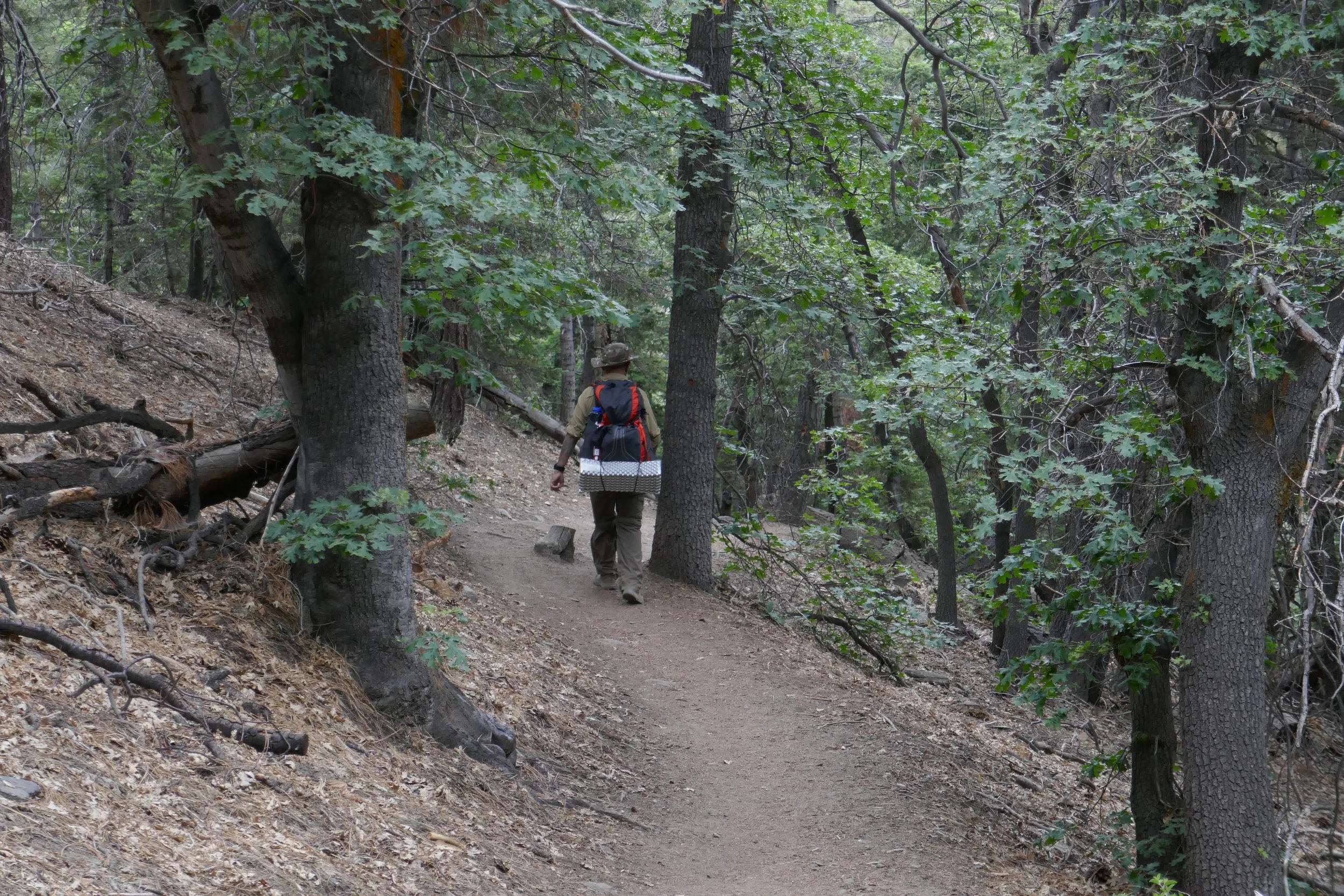
We hiked up the first set of switchbacks slow and steady. I kept my pace in synch with my breath. I carried 28 lbs. My husband had 33 lbs. We had no problems with weight. Both of us workout regularly, so we both have a good level of fitness. We are both going to be 50 years old this year.

For our first night, we planned to sleep at Outpost Camp. Both of us felt great when we arrived. We even felt like we could have gone farther, but I didn’t want to risk AMS.

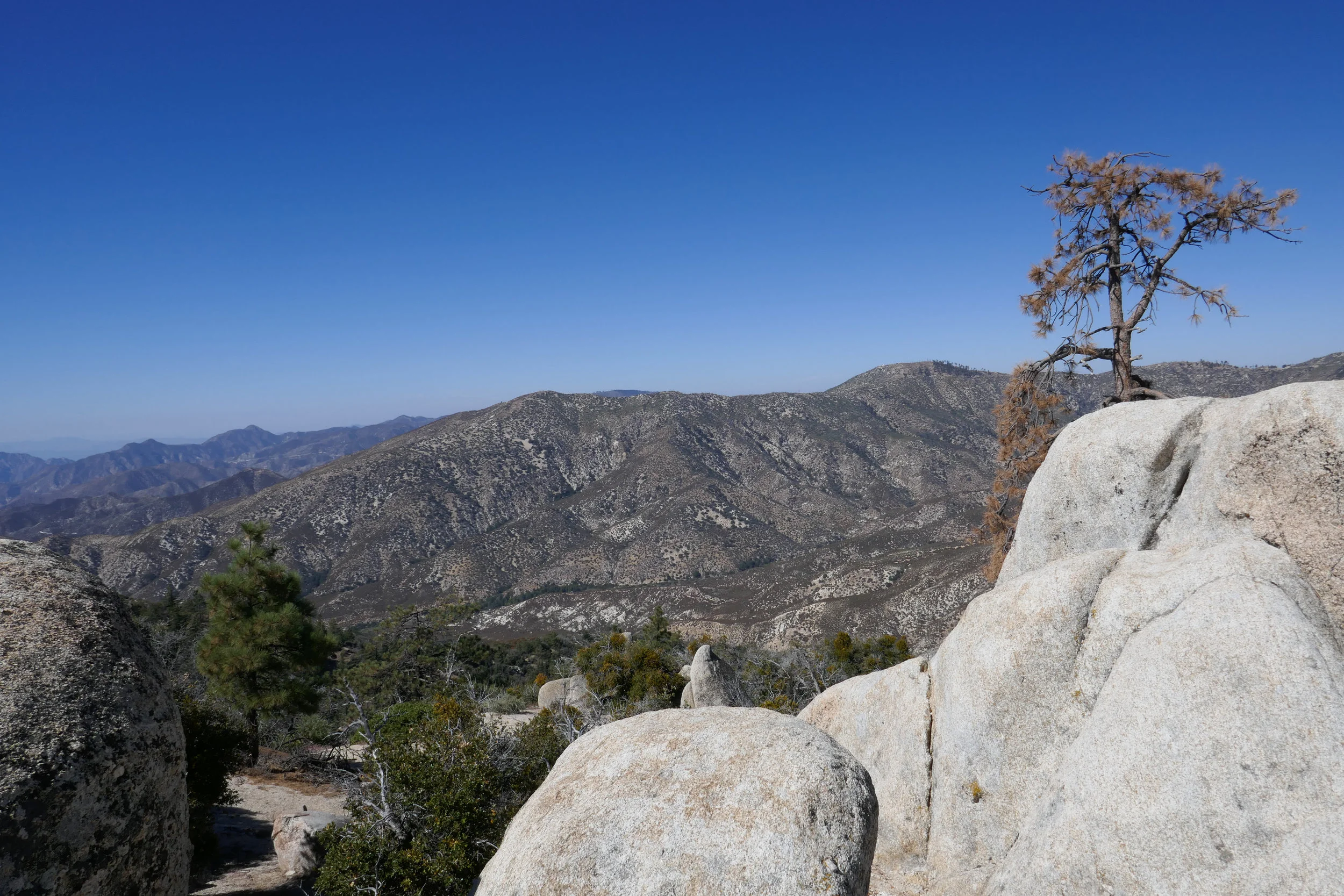
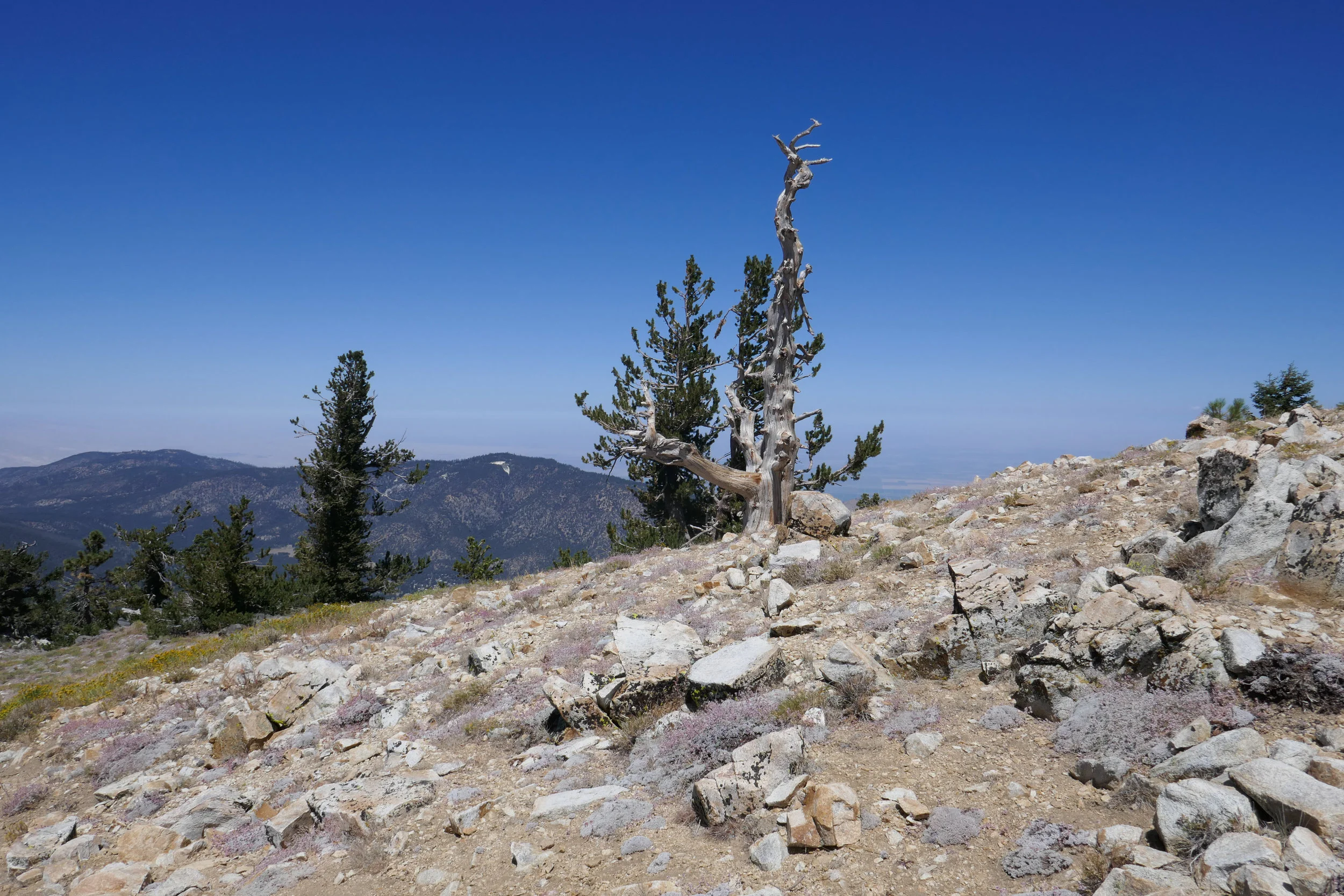
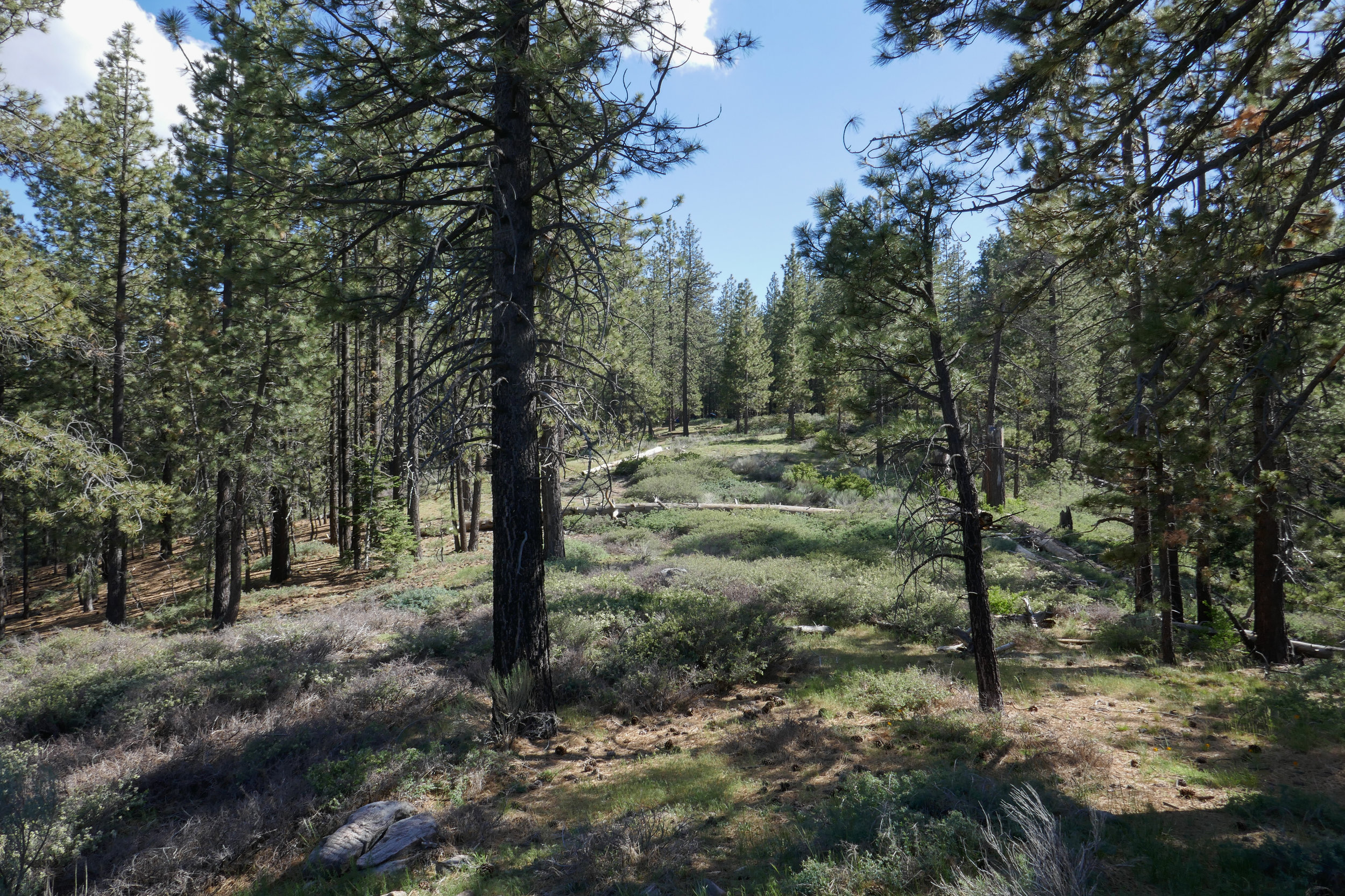
Our plan to acclimate was the following: Saturday, spend time at Horseshoe Meadow, sleep in Lone Pine (enjoy hotel facilities such as plumbing and a shower!), Sunday, hike the Ancient Bristlecone Forest, sleep again in Lone Pine, Monday hike and sleep above 10,000’ at Outpost camp.

Monday night we had Outpost Camp all to ourselves aside from one other couple. The star filled night sky was amazing and the moonlight reflecting on the granite walls surrounding us was beautiful. We fell asleep to the sound of the nearby waterfall. Well, my husband fell asleep. I actually didn’t sleep all that much, but I never sleep well when camping. The only other issue I had was the bugs. Lots and lots of mosquitoes!!!

In the morning, there was a doe wandering around camp. I watched her for a while as my husband made breakfast. I didn’t have much of an appetite, but other then being tired from lack of sleep, I didn’t have any signs of AMS. After breakfast and decided to leave our gear at Outpost camp. We planned to hike up as far as we could get with lighter daypacks, then return to Outpost camp and decide whether or not to spend another night there or drive back to L.A.

I was pretty tired when we first got going. We continued up the trial and just past Mirror Lake we encountered a very short snow bridge with footprints going left and right. The trail here was actually almost covered, but you could kind of see the rocky steps to the right which is the way we went. We had to do some route finding between that section above Mirror Lake and Trailside Meadow where it got a little confusing. We came prepared with navigation tools. I carried a paper map, compass, a Garmin inReach Explorer and my husband had a Garmin Fenix 3.

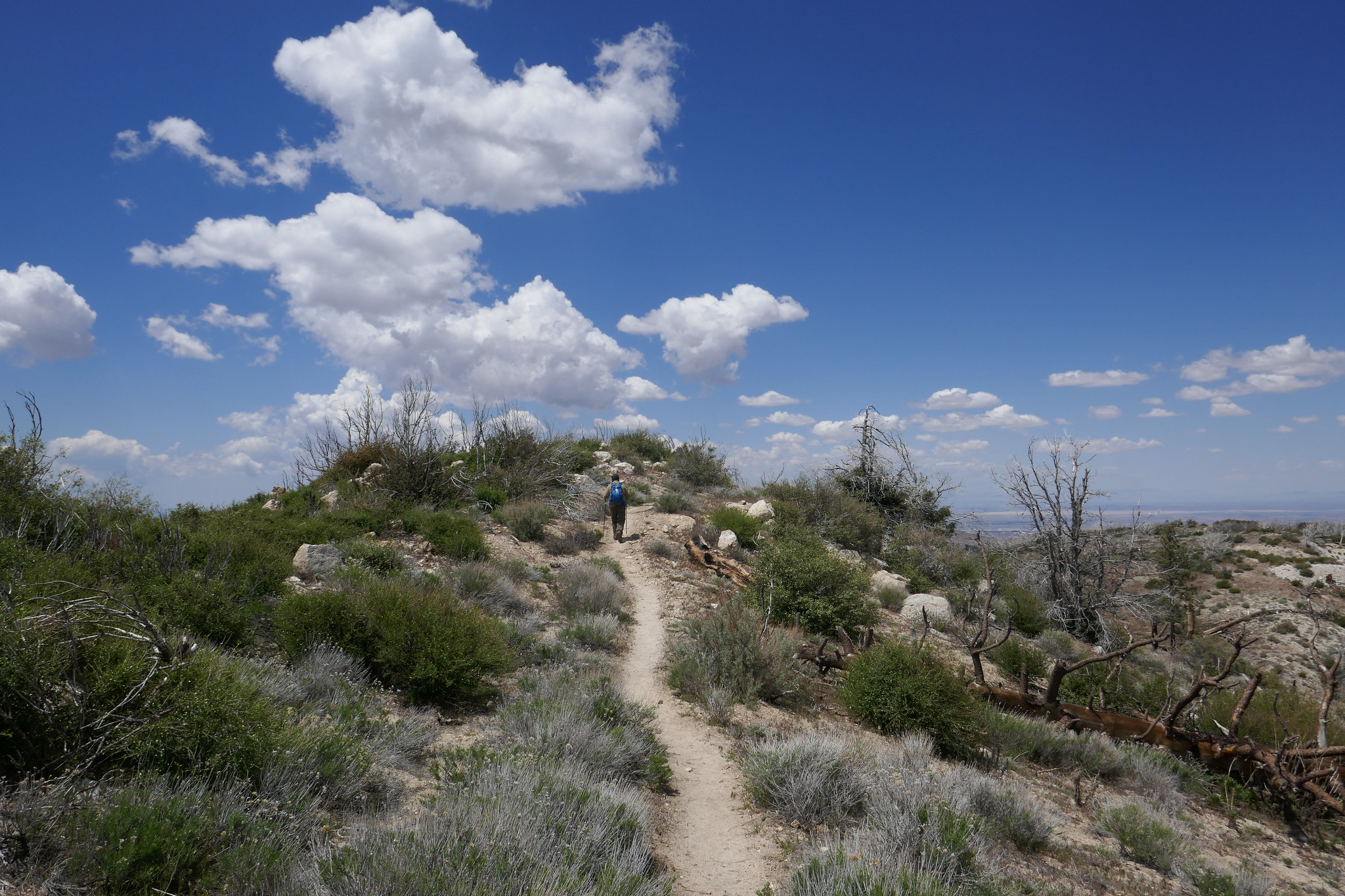
We kept on hiking until we reached Trailside Meadow. It was amazing to be above the timberline! At this point we were both satisfied with how far we had come. We could have continued on, but decided to turn around. Both of us wanted to make sure we had enough energy left to hike back down, pack up our things at Outpost camp, then hike out and make the drive back to L.A.

Even though we didn’t reach the summit, I feel accomplished. We gained experience, had a great time, returned safely and got to know the majestic Mt. Whitney a little bit better.

Read More

Ancient Bristlecone Forest, July 14, 2019, 4.5 Miles RT, 800' +/-, Max Elevation 10,210'

Ancient Bristlecone Forest, July 14, 2019, 4.5 Miles RT, 800' +/-, Max Elevation 10,210'

It was nice to re-visit the Ancient Bristlecone Forest in the White Mountains. We did this hike last year, and I wanted to go back again to see these incredible ancient trees. This hike starts above 10,000’, so it was a good acclimation hike prior to our backpacking trip on Mt. Whitney. These trees have survived over thousands of years and have been sculpted into twisted works of art by wind and ice over time. The really are something to see! We hiked the Methuselah Trail, a 4.5 mile trail with an elevation gain of about 800’. The trail climbs up into a forest of Bristlecone and Lodge Pole Pines then drops down and into a woodland of Mountain Mahogany. It truly is a journey through time and I highly recommend visiting if you are ever in the Eastern Sierra.

Read More

Camping Table Mountain and Blue Ridge Trail, 4.9 Miles RT, 1,201' +/-, Max Elevation 7,919', June 20 and 30, 2019

Camping Table Mountain and Blue Ridge Trail, 4.9 Miles RT, 1,201' +/-, Max Elevation 7,919', June 20 and 30, 2019

We had a another relaxing camping trip to Table Mountain in Wrightwood this weekend. We set up camp in the afternoon, took a nap and then did a short evening hike up the Blue Ridge Trail through the majestic Black Oaks and up to the top of Blue Ridge. I love this trail. It was very peaceful on a Saturday night, since most of the day hikers were gone. Before heading back to camp, we stopped off in Wrightwood and picked up a pizza and a bottle of wine. We spent the rest of the evening enjoy food by the fire. When we turned in for the night, the forest was extremely quiet. It’s usually windy up on this mountain, but on this night it was very still. In the morning we woke up early and did a quick hike on the Table Mountain hiking trail. It’s about 2.5 miles and goes around the perimeter of the campground. It has great views of Mt. Baden-Powel and all the way out to Palmdale. It was another great weekend spent in the mountains!

Read More

Waterman Mountain, June 23, 2019, 7 Miles RT, 1,371' +/-, 8,038' Max Elevation

Waterman Mountain, June 23, 2019, 7 Miles RT, 1,371' +/-, 8,038' Max Elevation

Every Sunday I wake up at the crack of dawn to hike. This past Sunday when my alarm went off at 5 am, my husband persuaded me to stay in bed. It was nice sleeping in for a change. Once we got up, we went out for breakfast then came home and relaxed until the afternoon. Around 2ish we headed up the ACH and into the Angeles National Forest to hike Waterman Mountain. We had our backpacking gear, and this time I was trying out a new Gregory backpack. My Osprey Kyte was bothering my shoulders, so I thought I should check into another pack. The Gregory seems to be a much better fit on my back. I was carrying around 27 lbs. We did approximately 7 miles taking the Waterman Trail up to the summit at 8,038’ feet and then heading back down on the fire road past the ski lifts to make a loop. We passed by the seasonal pond just below the summit. I’d never seen water in it before, but we’ve had so much snow this year that it looks like the pond may be around for a little while longer. Just as we were approaching the pond we saw a Search and Rescue chopper circling low. This was followed by a vehicle coming up the mountain with a team of rescuers. They showed us a photo and description of a hiker who’d gone missing on Saturday. They asked if we’d seen him, but unfortunately, we had not. We then continued our descent. The forest was quiet and the light was much different then I’m used to seeing it in the early morning. It felt very peaceful. The weekend crowd had cleared out and when we got back to the parking turnout, our car was the only one there. It was so nice I really didn’t want to leave! We got to see the sunset as we drove back on the ACH. It was a really nice afternoon. I think we need to do more late afternoon hikes in the future. It’s a nice change from waking up so early.

Read More

Backpacking and Camping in Los Padres National Forest, McGill Campground and Mt. Pinos, 997' +/-, Max Elevation 8,848', June 16 and 17, 2019

Backpacking and Camping in Los Padres National Forest, McGill Campground and Mt. Pinos,  997' +/-, Max Elevation 8,848', June 16 and 17, 2019

We had a fantastic long weekend backpacking and camping in Los Padres National Forest! Our first hike was an easy one to the top of Mt. Pinos and back. We wore our heavy packs to continue our training for Mt. Whitney. Afterwards, we headed to the McGill Campground. I was really excited to get to camping! I’d been at this campground a few times before, but never stayed. It was just lovely! The camp hosts are very hospitable and they keep the place in tip top shape. Almost all of the campground is shaded by towering pine trees. If you prefer, you can camp at one of the more exposed sites on the outer edge that offer sweeping views. We almost took one of those, but since it was windy we opted to stay a little farther in. We hung a hammock and enjoyed a lazy afternoon. In the evening we made dinner (just freeze dried meals using the Jetboil stove) and then took a romantic stroll along the Exploration Trail. The Exploration Trail is a paved nature trail leading to some benches where you can sit and enjoy the view. It was a very relaxing evening. Once the sunset, the moon rose and lit up the entire sky. It was magical. I really don’t think I’ve ever seen a full moon as beautiful as the one we saw from this forest. It was amazing and so bright, we didn’t even need our headlamps. When it was time to sleep, the only sounds we heard was the wind howling through the trees. Since it was a Sunday night, there was hardly any trace of human beings around. Just the way I like it! I woke up a few times from the wind during the night and each time, I saw the moon in a different spot as it circled our tent throughout the night. It was about 5:30 am when I woke up and stepped outside to catch a little bit of sunrise. It was so quiet and peaceful and the sky was full of different colors. I wanted to enjoy a little more sleep, so I got back in the tent and didn’t get up again until about 7:30. Once we were awake, we made a fire, had breakfast and relaxed some more before heading up to the Nordic Base and hiking to Mt. Pinos again. This time we went a little further and took the Vincent Tumamait trail down to the bottom of the switchbacks, At that point we decided it was time to head back. I really just wanted to do a good climb with my heavy backpack on to get in some more training for Mt. Whitney before heading home. It really was a wonderful weekend. I especially didn’t want to leave the camp. We will definitely be staying here again sometime in the future. It’s such a beautiful place.

Read More

McGill Trail, Los Padres National Forest, 8.5 miles RT, 1,594 +/-, Max Elevation 7,570', June 9, 2019

McGill Trail, Los Padres National Forest, 8.5 miles RT, 1,594 +/-, Max Elevation 7,570', June 9, 2019

This weekend we took out the backpacking packs, loaded them up with gear and went on a hike in the Los Padres National Forest. We hiked the McGill Trail up to the McGill Campground. I was carrying about 27 lbs in my pack. This was a nice starter trail with a moderately graded incline to begin getting used to carrying extra weight before our backpacking trip on the Mt. Whitney Trail. I also started using my backpack to train at the gym. At least one day per week, I wear it with 30 lbs and do exercises like squats, lunges and step ups. It’s all been very beneficial. Hiking with the extra weight takes some getting used to, but the McGill Trail is a lovely trail through a beautiful pine forest and I enjoyed myself nonetheless. Once we arrived at the campground, we chatted with the camp hosts before sitting down at a picnic table and making lunch with the Jetboil stove. We took a nice rest before loading up again and heading back. It was nice and cool up in the mountains. When we got back on the freeway to head home, my car gauge read 101 degrees! I was happy to have spent the day in the mountains!

Read More

Jackson Lake, Boy Scout Trail, 7 Miles RT, 1,378' +/-, Max Elevation 7,462', Camping Table Mountain, June 1 and 2, 2019

Jackson Lake, Boy Scout Trail, 7 Miles RT, 1,378' +/-, Max Elevation 7,462', Camping Table Mountain, June 1 and 2, 2019

This weekend was our first camping trip of the season! It was time to pull all our gear out and get familiar with it again since we’ll be backpacking the Mt. Whitney trail this year. I love camping. It’s so nice after a day of hiking to be able to build a fire and sleep out under the stars. We headed out of the gloomy cloud covered city up to sunny Wrightwood. There were, however, some scattered storm clouds hanging around, but the rains held off and the clouds passed us by. Our hike today started at Jackson Lake. There were people here fishing and families picnicking. We got on the Jackson Lake trail to the Boy Scout Trail. There’s plenty of shade on this trail as you pass through a forest of beautiful black oaks and towering pine trees. I’d like to come back here in the fall when the leaves are changing. It’s a lovely trail and we didn’t see another person. The Boy Scout Trail eventually ends at a junction for two service roads. You can head southwest on the Pinyon Ridge Truck trail, or southeast on service road 3N26. This road winds around the mountain as it climbs upward with nice views of Mt. Baden-Powell which is still covered in snow at the top. The road eventually takes you to a junction for the PCT, so we headed north here to loop back to the Jackson Lake Trail. We passed about 6 thru hikers on this section heading towards Baden-Powell. Hope they all made it up safely with the snow. It was about 2:30 pm when we got back to the trailhead and headed to camp at Table Mountain. After we set up camp, we went into town and brought back some Grizzly Burgers from the Grizzly Cafe. That’s the nice thing about camping at Table Mountain. You’re about a 10 minute drive from food! Why cook when you can get a burger to go, right? As the sunset and the weather cooled down, we built a fire, toasted marshmallows and enjoyed the outdoors. We had a peaceful night and slept comfortably under the stars. The next morning welcomed us with a beautiful sunrise and birdsong. We had breakfast and then headed home. The weekend was way too short, but I’m so grateful for the times we have like this when we get to be away from the city, traffic, electronics, etc. and enjoy the beauty of the forest.

Read More

Devils Canyon, 6 Miles RT, 1,348' +/-, Max Elevation 5,302', May 27, 2019

Devils Canyon, 6 Miles RT, 1,348' +/-, Max Elevation 5,302', May 27, 2019

We got up late today and decided to take our time getting anywhere. We weren’t really decided upon any one hike, so I stuffed my backpack with maps, downloaded a bunch of different trails onto the Garmin and headed up the ACH. The rock slide still hasn’t been repaired, so we had to take the detour to get to the high country. We then decided today would be a good day to hike Devil’s Canyon. The weather was cool, and I remembered last year when we did this hike in April there was lots of water flowing. I knew with all the rain and snow this year, there would be plenty of water now too. The trail hadn’t changed much. The views down into the canyon overlooking the San Gabriel Wilderness were beautiful. The trail could definitely use some love though. It was pretty brushy in some areas, and there were some trees down across the trail. There was also more erosion. Still, it was nothing too difficult to get around. We followed the creek most of the way and eventually reached the backcountry campsite. We saw a family on their way out who had spent the night. They had their kids who were carrying backpacks bigger then they were and two dogs. I asked them how their night was, and they told me it rained all night. We made our way over to this really great rock I found last year right next to the stream. It’s nice and smooth and shaped like a recliner. We got comfortable and ate our lunch (ham and cheese croissants from the donut shop... yum!). The sound of the running water was so relaxing and the clouds were billowing across blue sky. We took a nice nap until eventually the sky turned to gray and the sun was covered by the clouds. We packed up our stuff and began the hike up out of the canyon. I took a lot of photos on the way back. There were lots of wildflowers, and at one of the creek crossings there was a ton of ladybugs (and also poison oak). The cloud cover made the hike up and out pleasant since it kept us cool on the exposed sections of the trail. It was a very peaceful, relaxing day.

Read More

Pacifico Mountain from Mill Creek, 14 miles RT, 2,316' +/-, Max Elevation 7,124', May 12, 2019

Pacifico Mountain from Mill Creek, 14 miles RT, 2,316' +/-, Max Elevation 7,124', May 12, 2019

What a beautiful mountain. There are so many blooming wildflowers this time of year. We did this hike last year in June and the weather was very hot. This time the weather was still warm, but definitely not as bad. Again, just as last year, we saw very few people other then the PCT thru hikers passing by on their way to the Sierras. We put in quite a lot of mileage and the day was made even longer by my stopping to take photos every few minutes. The best hikes are always the ones where I take my time and don’t feel like I’m in a rush against the clock or in a big hurry to reach the summit. Now that we’ve been hiking for a few years and have hiked many of these mountains, I don’t feel such an urgency to summit and I’m taking more time to stop and really appreciate and enjoy the beauty of my surroundings. Even though Pacifico Mountain was hit hard in the 2009 Station Fire and there’s still a lot of visible damage along the route, it’s a very pretty hike. The area is incredibly beautiful with great vistas and it is full of flowers and wildlife. In fact, we can in very close proximity to a rattlesnake towards the end of the hike and only about a half a mile away from the trailhead. We didn’t see the snake, but we did hear the warning rattle. She must have been alongside the trail hidden where we couldn’t see her. It’s amazing how they can disguise themselves. As we climbed up the mountain, the trail changed from charred trees to beautiful Jeffery Pines. We had lunch at the campground on top of the summit. It would be so nice to camp here sometime. There were a good number of ravens circling and I saw several species of butterflies including painted ladies, swallowtails and duskywings. We spent good amount of time at the top before leaving. There was no one there but us. I scouted around the big boulders to see if I could find the official USGS marker, but I still couldn’t locate it. I’ll check again next time we’re here. It was a really nice day.

Read More

Joshua Tree National Park, Juniper Flats, California Riding and Hiking Trail, Stubbe Springs Trail, Fan Canyon, 10.7 Miles RT, 922' +/-, 4,951' Max Elevation, April 27, 2018

Joshua Tree National Park, Juniper Flats, California Riding and Hiking Trail, Stubbe Springs Trail, Fan Canyon, 10.7 Miles RT, 922' +/-, 4,951' Max Elevation, April 27, 2018

I always look forward to Joshua Tree. We go a couple of times a year during different seasons. There are so many trails within the park to explore. This time we hiked from the trailhead at Juniper Flats on the California Riding & Hiking Trail to the Stubbe Springs Trail to Fan Canyon Overlook. This was a beautiful hike. The desert was alive with wildlife and wildflowers. We saw road runners, antelope ground squirrels, birds, lizards, you name it. This route took us through a dense Joshua Tree wilderness, through canyons, over rugged but gentle rolling terrain, in and out of desert washes and to an incredible overlook with views of Mt. San Jacinto, San Gorgonio and the Coachella Valley. We got on the trail at 9 am which is a little later then I usually like to start. At this time it was about 73 degrees with about a 15 mph wind. As the day progressed, the weather warmed up and by the time we finished the hike around 1:30, it was about 85 degrees. Luckily, the winds stayed with us through most of the day although there were sections where it seemed to quiet down and you could really feel the heat. We also had a few moments where the sun hid behind the clouds, but for the most part we had clear skies. I would have loved to have hiked the entire Stubbe Springs Loop at 13 miles round trip but with the intense desert heat we decided to shorten our trip to an out and back. We plan to return in the fall and complete the loop. It was a wonderful day and not a soul in sight other the my husband hiking in front of me. I took literally hundreds of photos. There’s something very magical about the desert, and we had a wonderful day.

Read More

Eaton Saddle, Mt. Lowe Road, Mt. Lowe Trail Camp, Tom Sloan, Mt. Lowe East, 6.4 Miles RT, 1,434' +/-, 5,421' Max Elevation, April 21, 2019

Eaton Saddle, Mt. Lowe Road, Mt. Lowe Trail Camp, Tom Sloan, Mt. Lowe East, 6.4 Miles RT, 1,434' +/-, 5,421' Max Elevation, April 21, 2019

The weather is still cool so I’m trying to make the best of the front range before it gets too hot. Today we drove up to Eaton Saddle with no specific plan in mind since there are plenty of routes you can take to make a great hike. We hiked up the Mt. Lowe Road through the Mueller Tunnel which experienced an avalanche over the winter, but some of the rocks were cleared so you can get around it safely. At Markham saddle, we decided to continue down the Mt. Lowe Road to Mt. Lowe Trail Camp and the ruins of Ye Alpine Tavern where we’d take a break and enjoy the ham and cheese croissants we’d picked up from the donut shop before starting our hike. I really love this area and enjoy walking the Mt. Lowe Fire Road. The views are great down into Bear Canyon and you can really see just how rugged the San Gabriels are. As we hiked the sun was trying very hard to break through the clouds, but we were soon engulfed in them as they wrapped around the mountain and our views disappeared in a heavy mist of white. When we reached the junction with the Tom Sloan Saddle trail, we branched off to explore it for about a quarter mile. It descended steeply and since we didn’t want to lose too much elevation, we decided to save that adventure for another day. I was really enjoying being surrounded by all the cloud cover. When we arrived at the Mt. Lowe Trail Camp, I noted that there was water flowing. This is the first time I’d seen it there. There were a few people enjoying the solitude of the camp, and we stopped for a while to appreciate the silence and eat lunch. I pulled out the map while we were eating to check out the Mt. Lowe East Trail. It would be a shorter, but steeper route back, so we decided to explore it. We got on the trail and began climbing up the switchbacks on Mt Lowe’s southern slope. There were some loose rocky, sections that were narrow and exposed so we had to be careful on those, but nothing too terrible. At one point, two mountain bikers almost collided into us as they were racing down the mountain on the switchbacks that didn’t give them much visibility to see what was around the corner. Thankfully, they saw us and we moved to the side so they could continue their way down the mountain. I worked up a pretty good sweat climbing up, but soon we reached the junction with the summit trail to Mt. Lowe. I considered continuing up since we were already here, but then we both decided since there would be no views today, that we’d just head back to Eaton Saddle and enjoy an early day.

Read More

Strawberry Peak via Redbox, 6.9 Miles RT, 1,814' +/-, 6,164' Max Elevation, April 19, 2019

Strawberry Peak via Redbox, 6.9 Miles RT, 1,814' +/-, 6,164' Max Elevation,  April 19, 2019

I had off on Friday and was looking for a challenge. Strawberry Peak seemed like a really good idea. We’d done this hike exactly one year ago, and I was excited to see if it would be easier this time since I’ve been working with a trainer for almost a year now at my gym and he’s been training me with my specific hiking and backpacking goals in mind. The hike starts out innocently enough meandering northeast from the trailhead at Red Box and making a sharp turn to the west and around the southern slope of Mt. Lawler until it reaches the saddle between Lawler and Strawberry. That’s where the fun begins. The trail then climbs unforgivingly for about the next mile and a half except for a short section where you’ll actually lose elevation and then have to climb back up later. I put my hiking poles away on the last mile so I could have free use of my hands for the rock scrambles. I felt really strong today and all the step ups I’ve been doing at the gym were really paying off!! I was definitely running on a bit of adrenaline and excitement, but I was having a good time. Strawberry Peak is still a butt kicker, but I could tell how much stronger I’ve become. We reached the top of the mountain in no time and since it was a week day, we didn’t see many other hikers and had the peak to ourselves. We signed the summit register, had lunch and then began our careful descent. On the way back we saw a lot of critters. One in particular was a Western Fence Lizard doing push ups to impress a female. We stopped to watch him as he tried to put the moves on her, but she had no interest. I wished him luck and continued down the trail. As we got closer to Red Box, we also saw a few snakes. They made their way into the shrubs as we passed by on the trail. It was an awesome day in the mountains!

Read More